Explore the journey — one trail, museum, meal, and memory at a time.
Nose Hill Hike
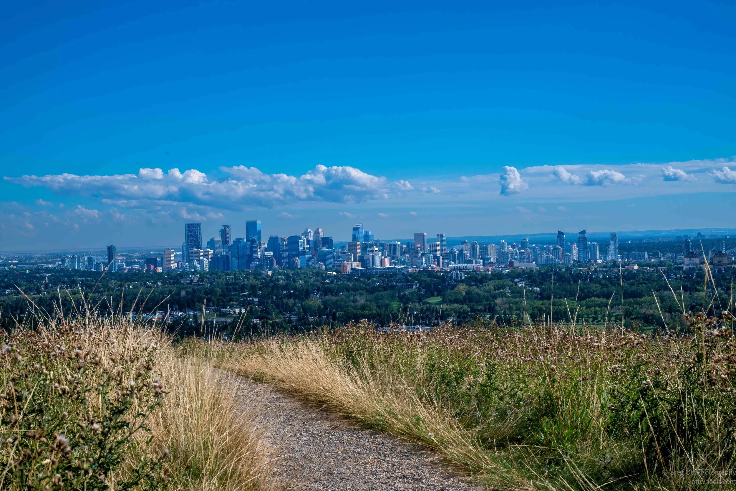
Rain changed my plans in Calgary, but the afternoon opened up for a 3.2-mile hike across Nose Hill Park, with glacial erratics, a Blackfoot medicine wheel, quaking aspens and changing views of the Calgary skyline. That evening I visited Contemporary Calgary before finishing the day with a burger, beer and an unexpected fantasy football gathering at National.
Military Museums & Peace Bridge
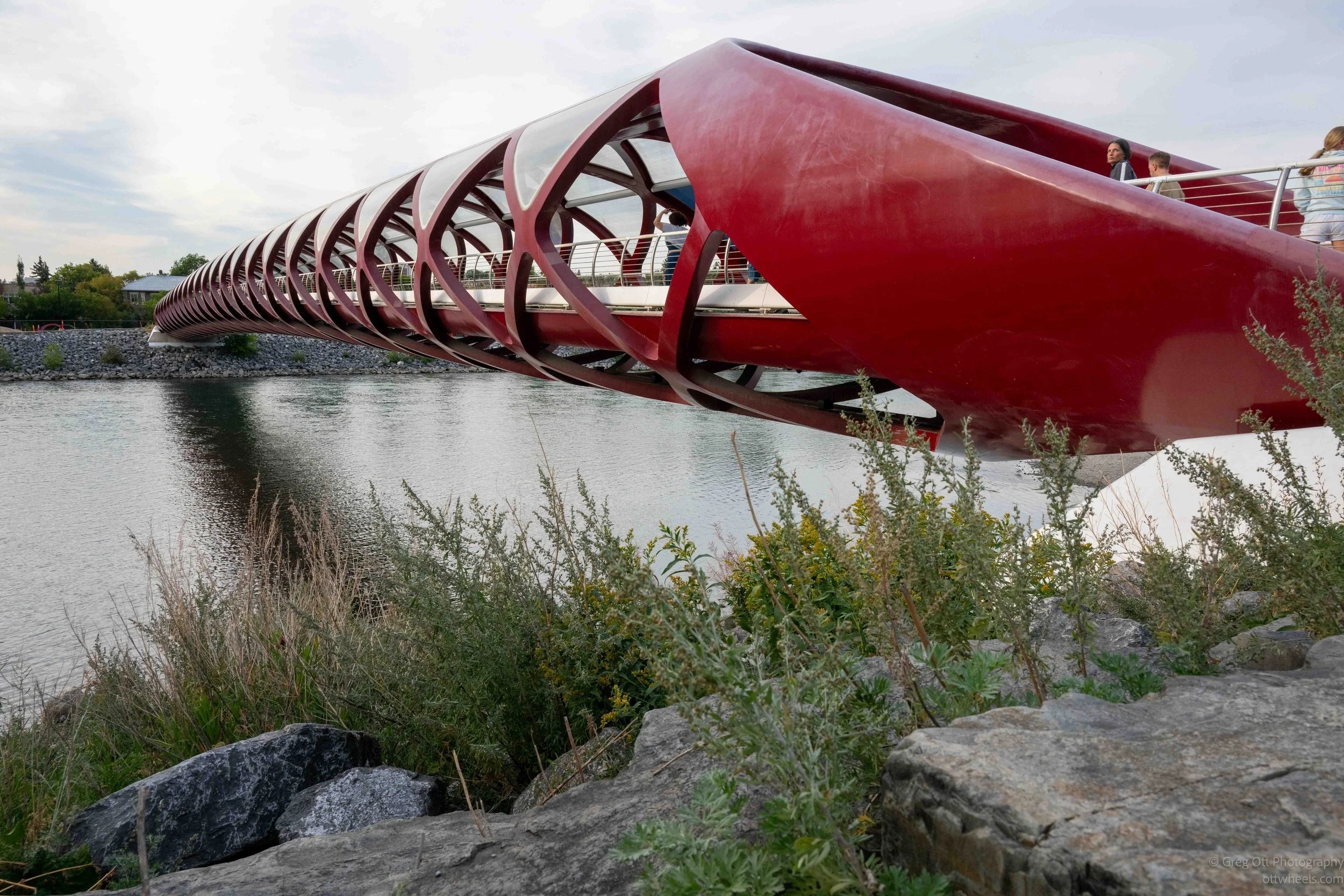
A day in Calgary moves from military history to a relaxing afternoon along the Bow River. I explore The Military Museums, learn the real story behind the Great Escape, photograph Santiago Calatrava’s Peace Bridge and wander the riverfront as people head home from work. The evening ends in Westhills, where a long line at Village Ice Cream turns out to be worth the wait.
Studio Bell & Central Library
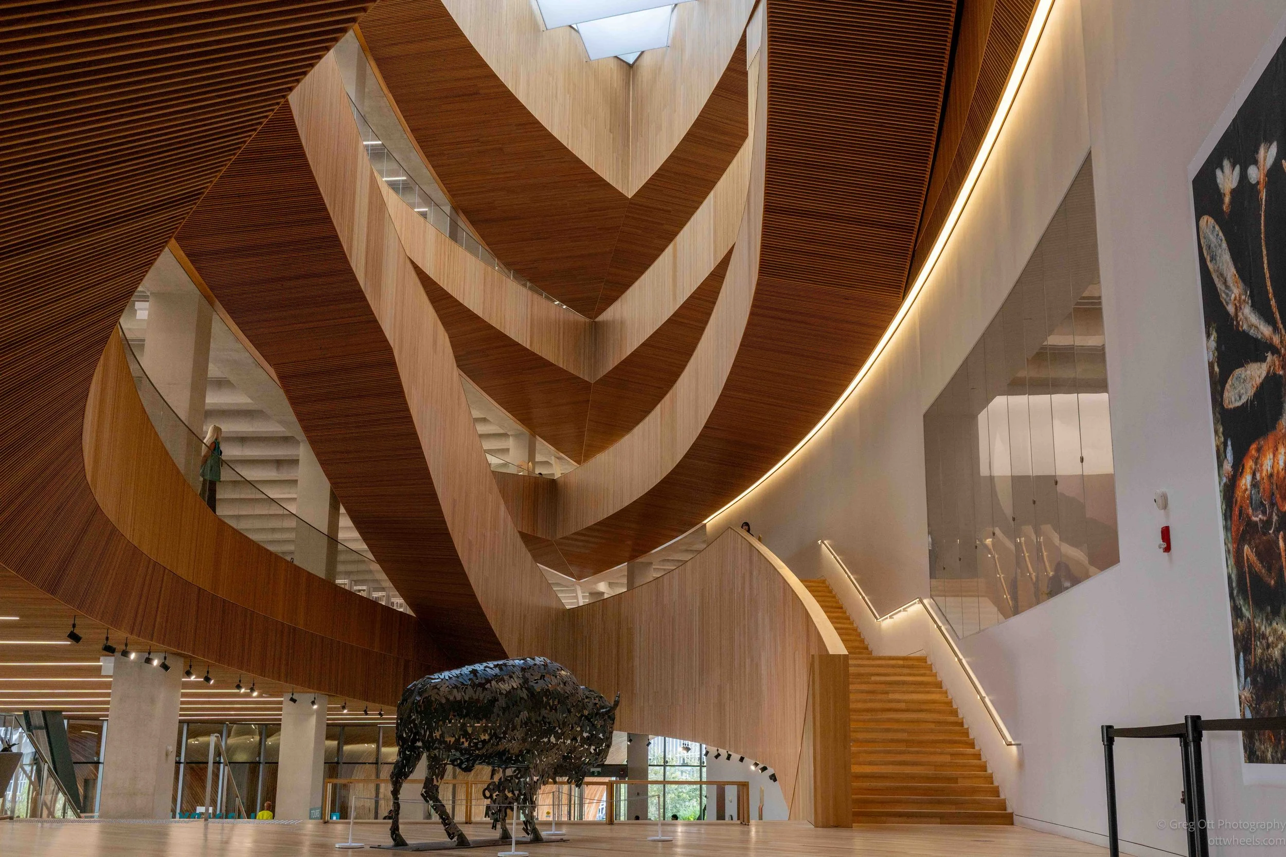
I went to Studio Bell to see the Canadian Music Hall of Fame and learn more about Canada's musical history, particularly Oscar Peterson. I wasn't expecting the architecture to capture nearly as much of my attention. That continued at Calgary Central Library, another extraordinary building where the architecture became as interesting to me as what was inside.
Biking Edmonton’s River Valley
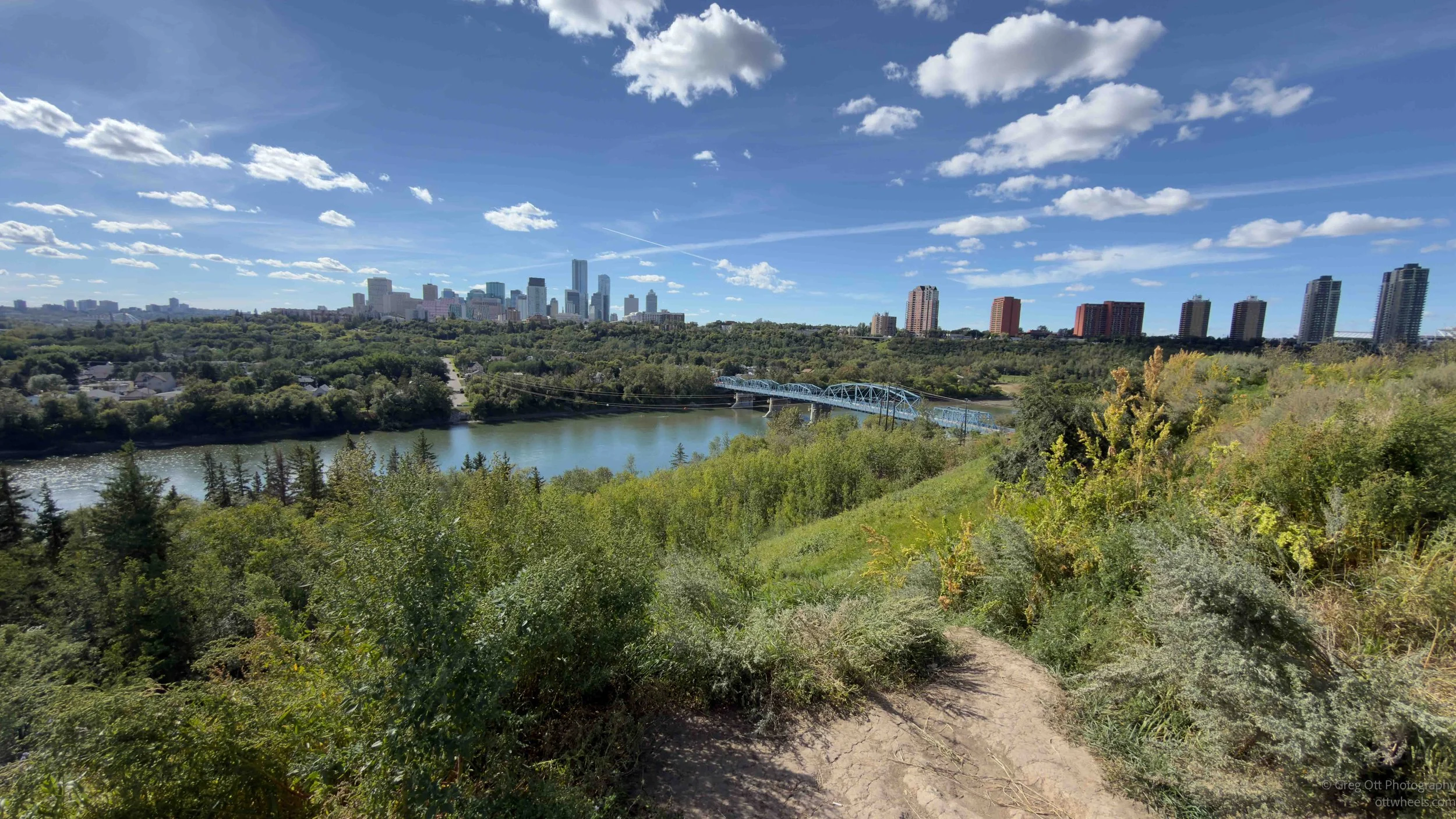
I spent my final afternoon in Edmonton riding about 20 miles through the North Saskatchewan River Valley, crossing bridges, exploring neighborhoods and seeing the city from the trails. That evening, I headed south on Highway 2, navigated Alberta’s extensive road construction, stopped for a nap and continued into Calgary.
Royal Alberta Museum
Excerpt
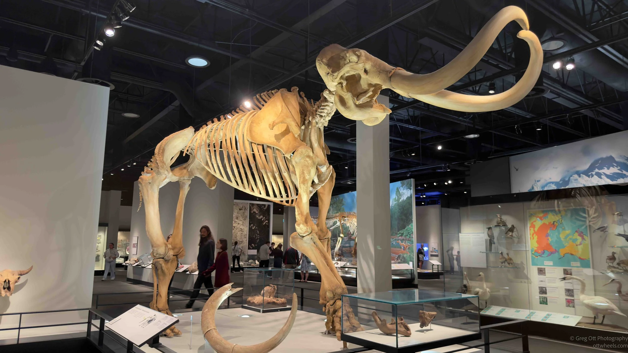
I spent the afternoon exploring the Royal Alberta Museum, moving from Alberta’s human history into geology, glaciers, fossils and enormous Ice Age animals. I was surprised by how much there was to learn and realized I’ll need to return to dig deeper into Alberta’s paleontological history. I finished the day relaxing outside the glass pyramids of the Muttart Conservatory.
Edmonton: Old Strathcona and Whyte Avenue
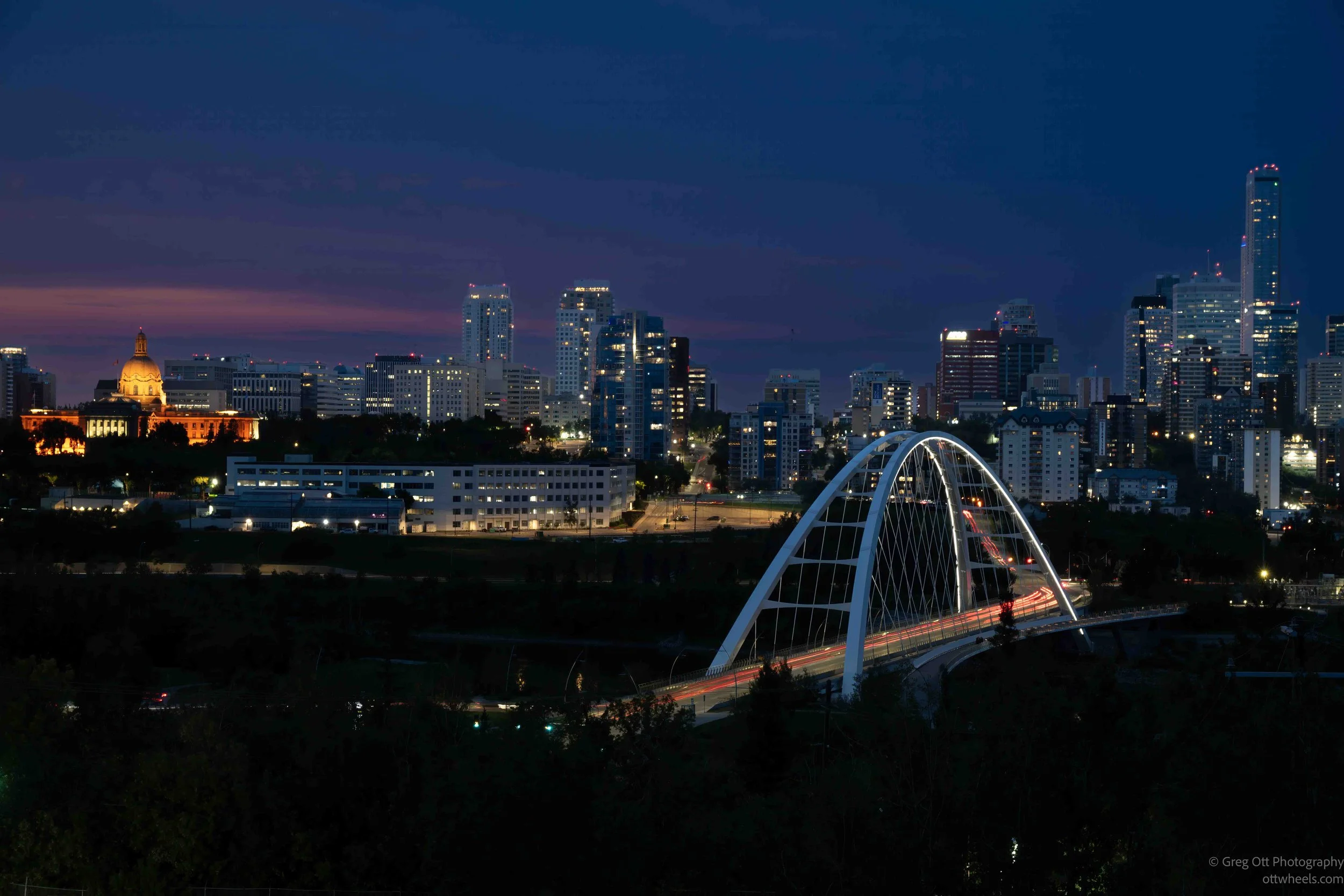
I spent a Saturday exploring Edmonton's Old Strathcona Farmers' Market and Whyte Avenue, photographing street art, historic buildings and the people I met along the way. There was Falun Dafa, a pedal-powered pub, Georgian dumplings and plenty of unexpected conversations before I finished the day photographing the Edmonton skyline and Walterdale Bridge from Queen Elizabeth Park.
Drive To Edmonton, AB
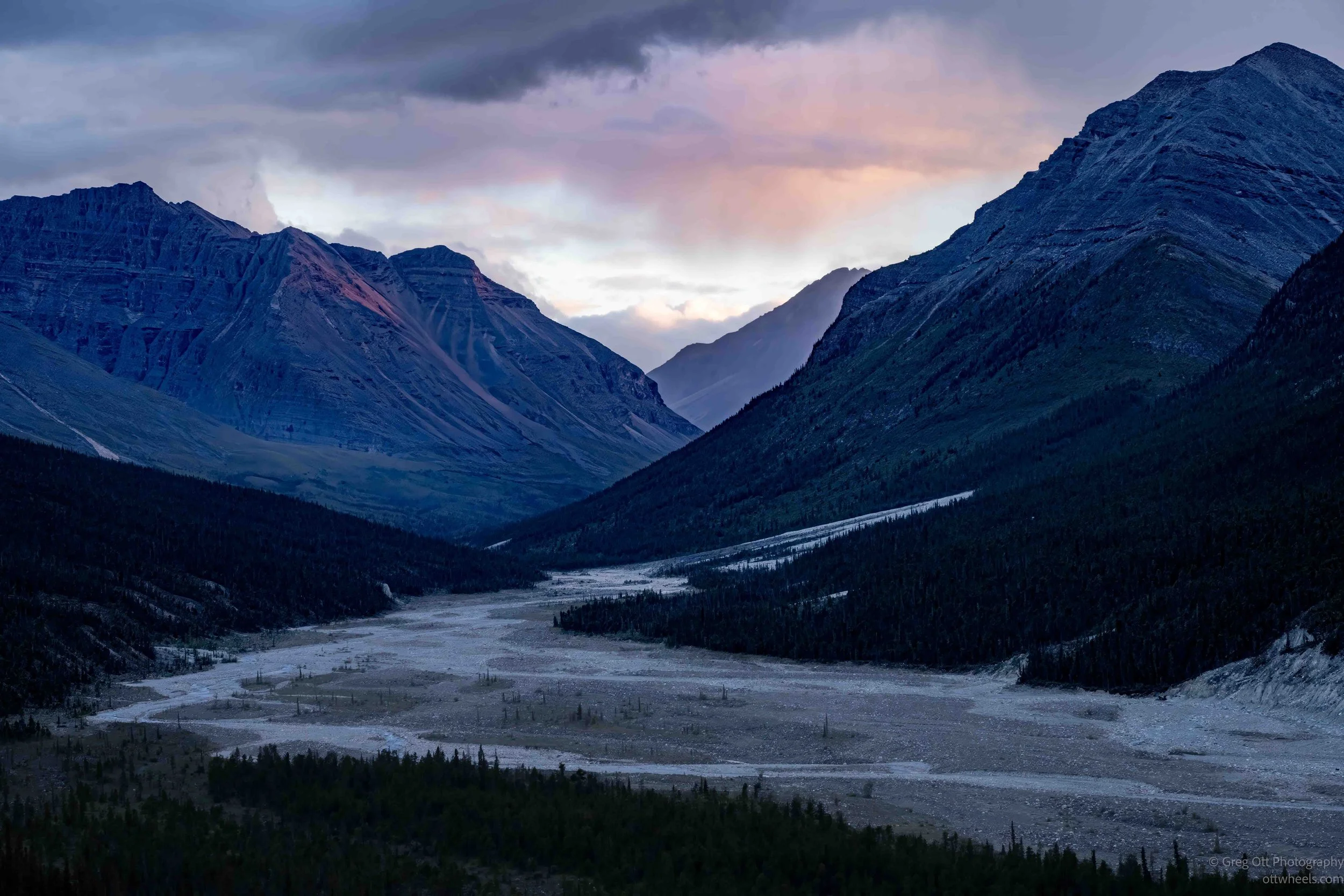
The drive south from Dawson City to Edmonton meant long days and hundreds of miles through the Yukon and northern British Columbia. I stopped at Five Finger Rapids, passed through Whitehorse and followed the Alaska Highway south before wildfire smoke, heavy rain and poor visibility made the final drive to Hythe one of the more difficult stretches of the trip.
Dawson City
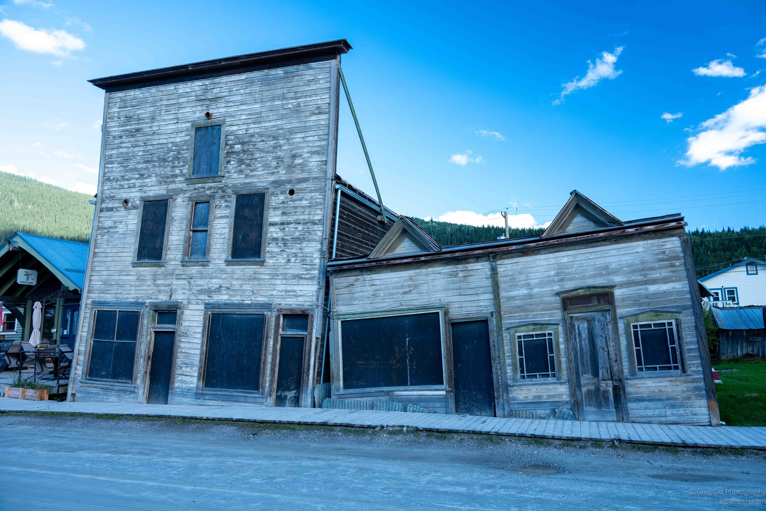
I left Alaska on the Top of the World Highway, following the remote road across the mountains and into the Yukon before descending toward Dawson City. A ferry ride across the Yukon River brought me into a unique historical town, filled with dirt streets, old buildings, Gold Rush history, and reminders of just how isolated this part of the world once was. It helped tie other parts of the trip together.
River Beauty and Rough Roads
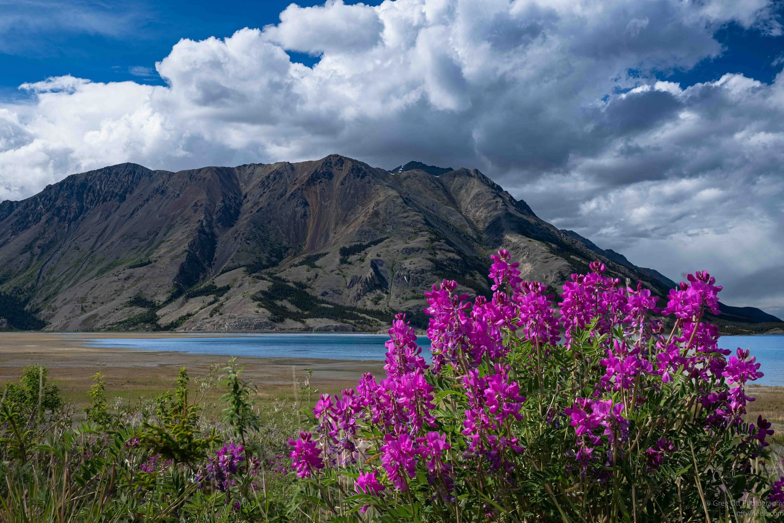
A simple drive from Whitehorse to Tok turned into a nine-hour day of coffee shops, grocery store adventures, faulty gas pumps, roadside naps, wildflower photography, rough sections of the Alaska Highway, international bicycle travelers, and rabbits that seemed determined to stand in the middle of the road. The scenery was spectacular, even when the weather refused to cooperate.
Toward Haines Through Clouds
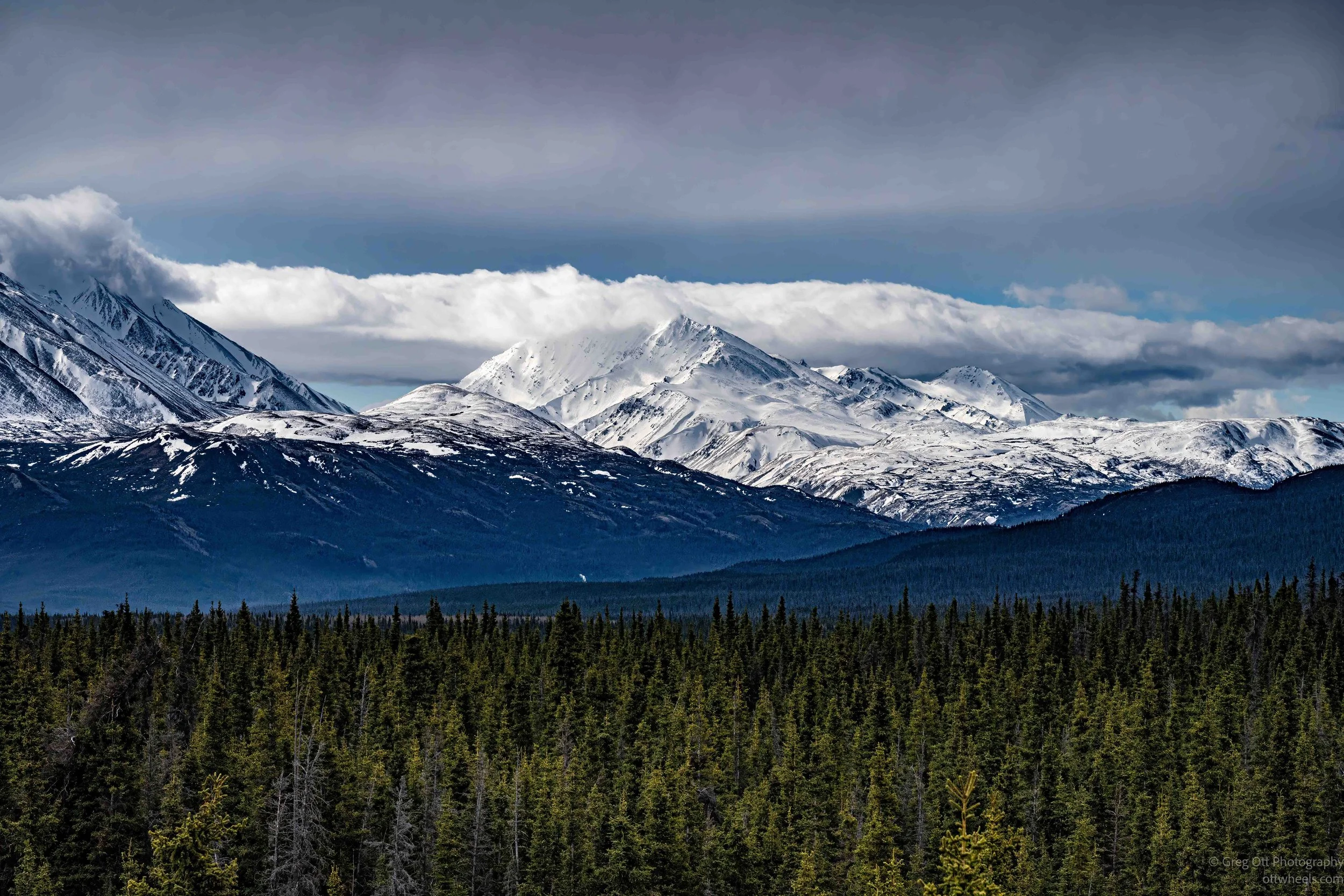
After a quiet morning beside Kluane Lake, I headed south through Haines Junction and onto Haines Road. With clearer weather than the day before, the snow-covered mountains finally emerged from the clouds. Frequent stops for photography, vast open landscapes, and the strange experience of daylight lingering late into the evening made for a rewarding day in the Yukon.
Kluane Lake
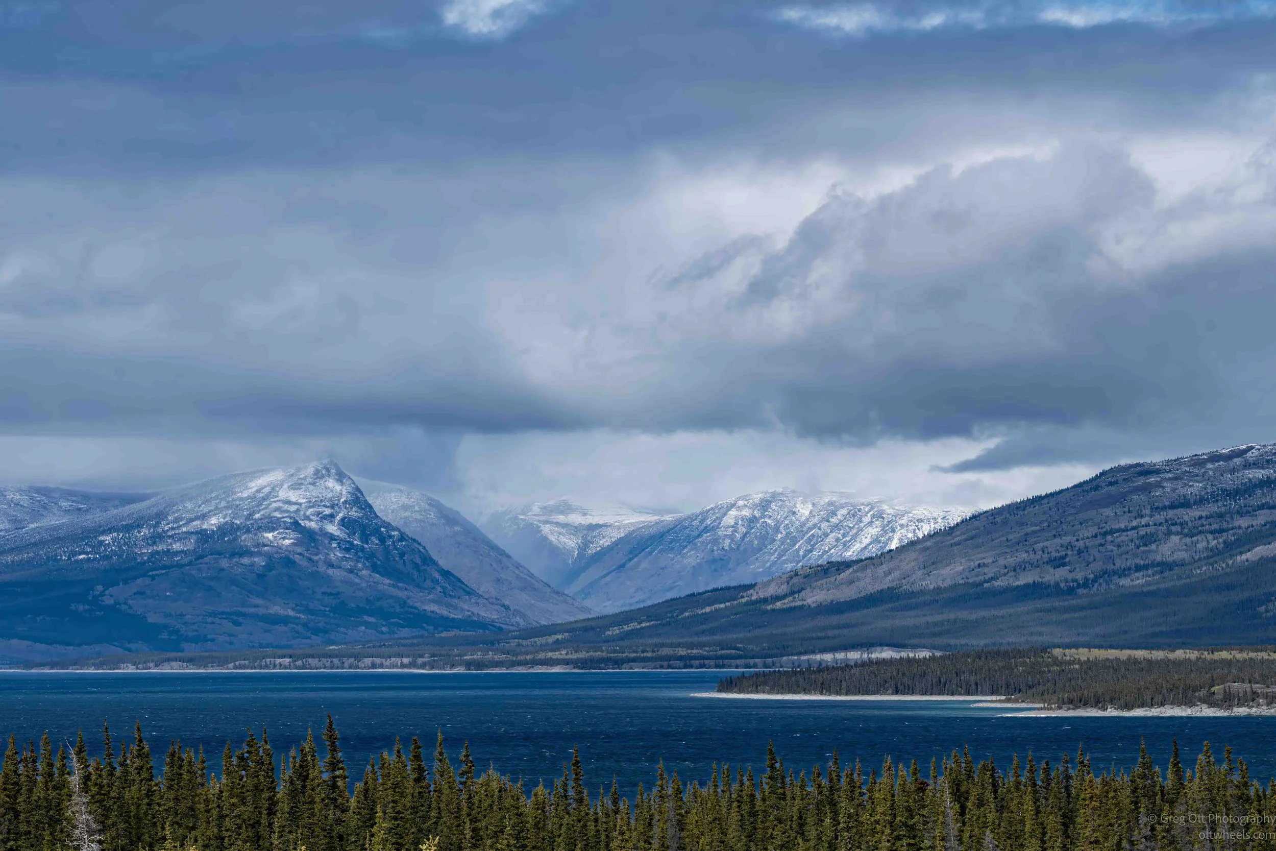
After waking to snow and an empty Alaska Highway north of Haines Junction, I headed toward Kluane Lake, visited the surprisingly good Kluane Museum of History in Burwash Landing, discovered a touching memorial to Douglas Richard Twiss II, and spent the afternoon photographing mountains, ice, and changing weather along one of Yukon’s most dramatic landscapes.
North From Whitehorse, YT
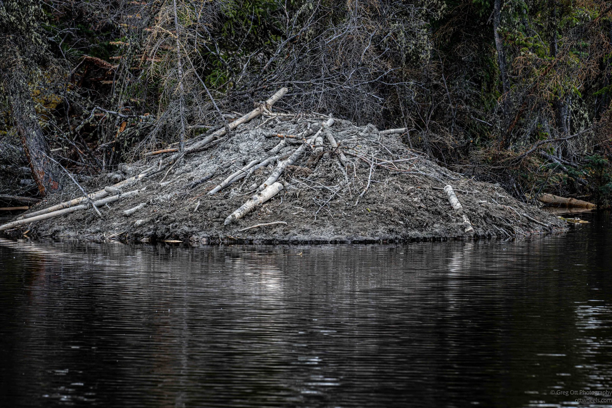
A short drive from Whitehorse turned into a day of unexpected discoveries. I followed a side road to historic Mendenhall Landing, photographed one of the largest beaver lodges I've ever seen, explored the Kluane National Park Visitor Centre, and learned about the Southern Tutchone people. With rain, wind, and low clouds hiding the mountains, Yukon reminded me that conditions can change quickly.
Whitehorse May 27–28
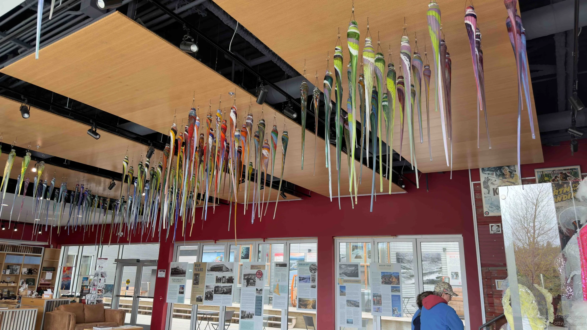
A planned stop in Whitehorse turned into two days of unexpected discoveries. Between a glassblowing event, Yukon history at the MacBride Museum, a potentially dangerous wheel problem, and conversations with surveyors, nurses, travelers, and locals, the city revealed itself through the people who call it home. Sometimes the most memorable travel days aren't planned at all.
Whitehorse, YT
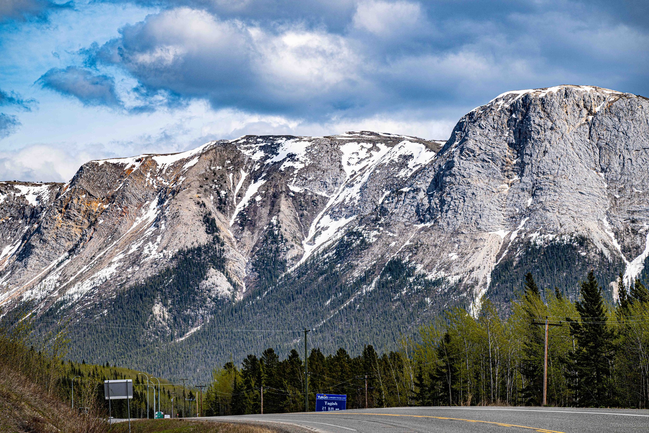
After five days of heating problems in the van, I drove north to Whitehorse, Yukon. What began as a routine travel day turned into the discovery of a developing wheel issue, a visit to the Robert W. Service memorial, an evening exploring the territorial capital, and a reminder that summer nights in the North seem to last forever.
Teslin, YT
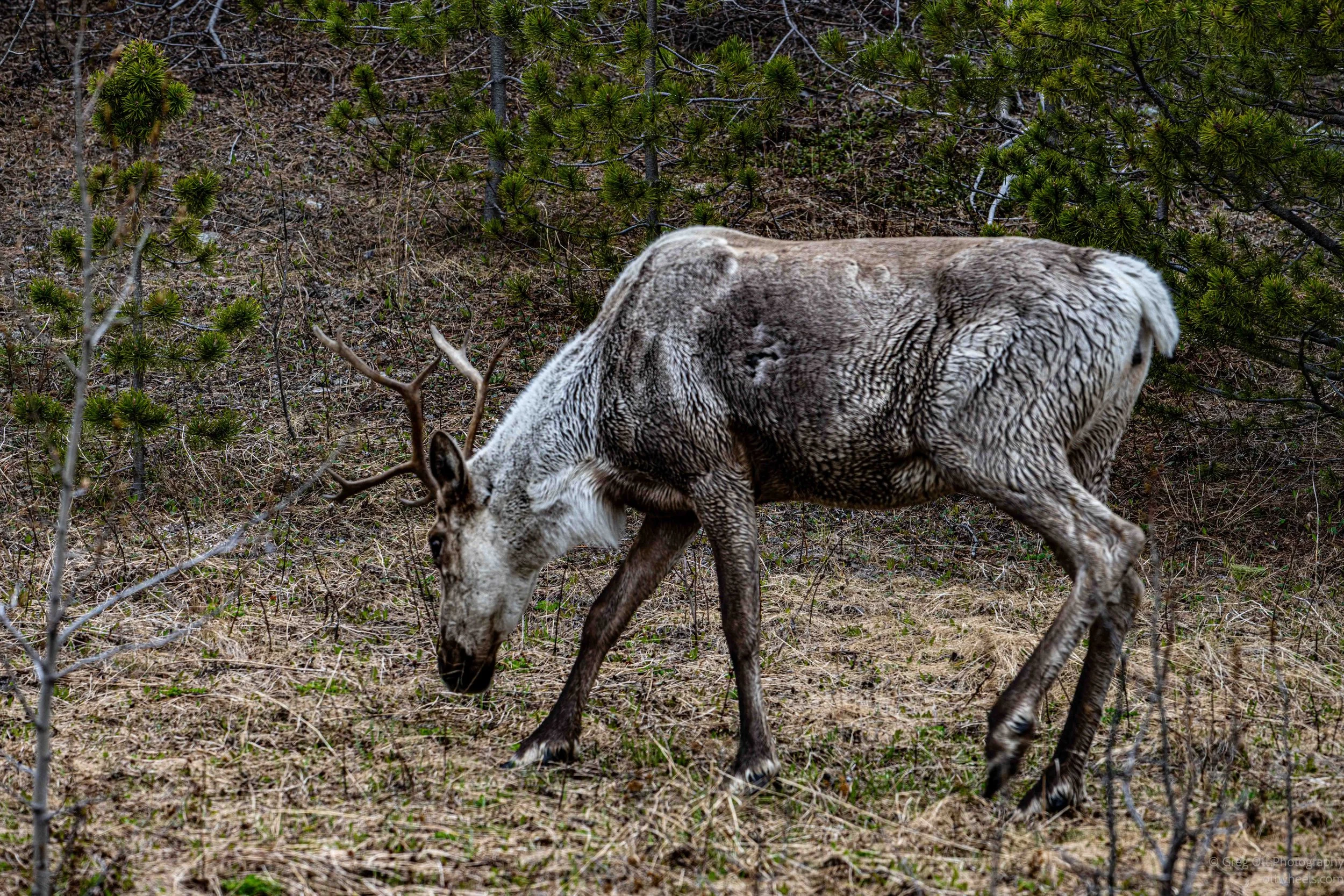
A quiet drive from Watson Lake to Teslin turned into one of the most interesting days of the trip. From seeing my first wild caribou to learning about WWII aviation history, Indigenous culture, and life in remote Yukon communities, Teslin revealed far more depth and history than I expected.
Signpost Forest
I arrived in Watson Lake, Yukon without realizing how much history was packed into one small stop along the Alaska Highway. From the massive Sign Post Forest and the Northern Lights Centre to the wartime history of the Alaska Highway and a quiet walk through the local cemetery, the day turned into something far more interesting and reflective than I expected.
Muncho Lake & Liard River Hot Springs
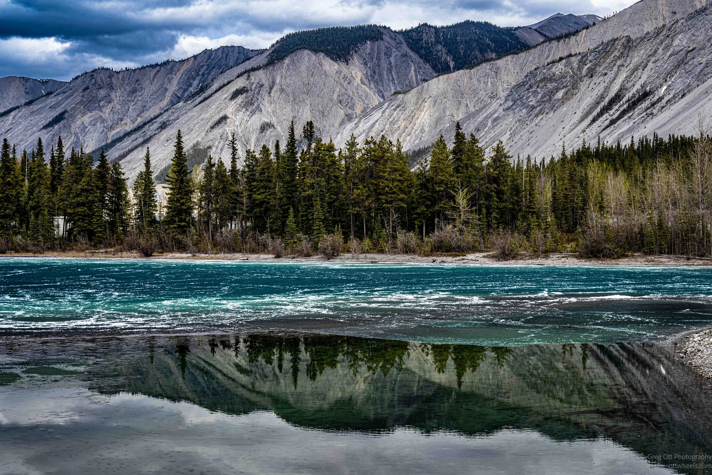
I continued north along the Alaska Highway into one of the most beautiful and remote sections of northern British Columbia. At Muncho Lake I photographed shifting blue lake ice before continuing to Liard River Hot Springs Provincial Park, where warm wetlands, dense vegetation, mineral-rich springs, and unusual tufa formations create an ecosystem unlike anywhere else along the highway.
Stone Mountain Provincial Park
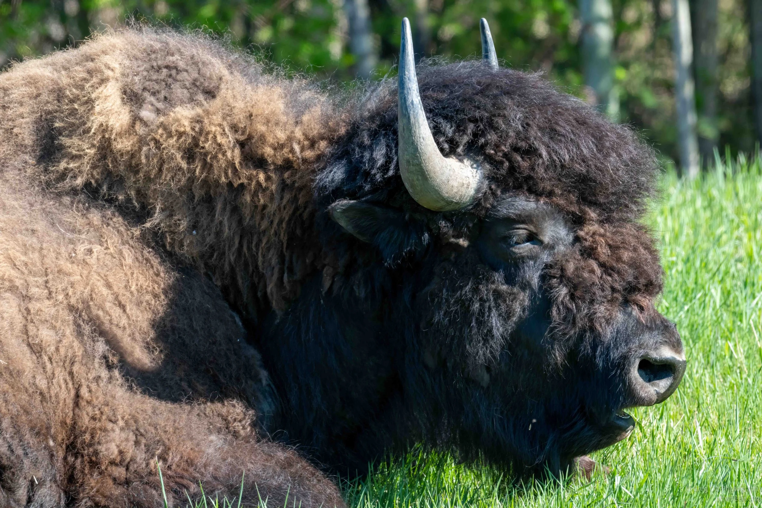
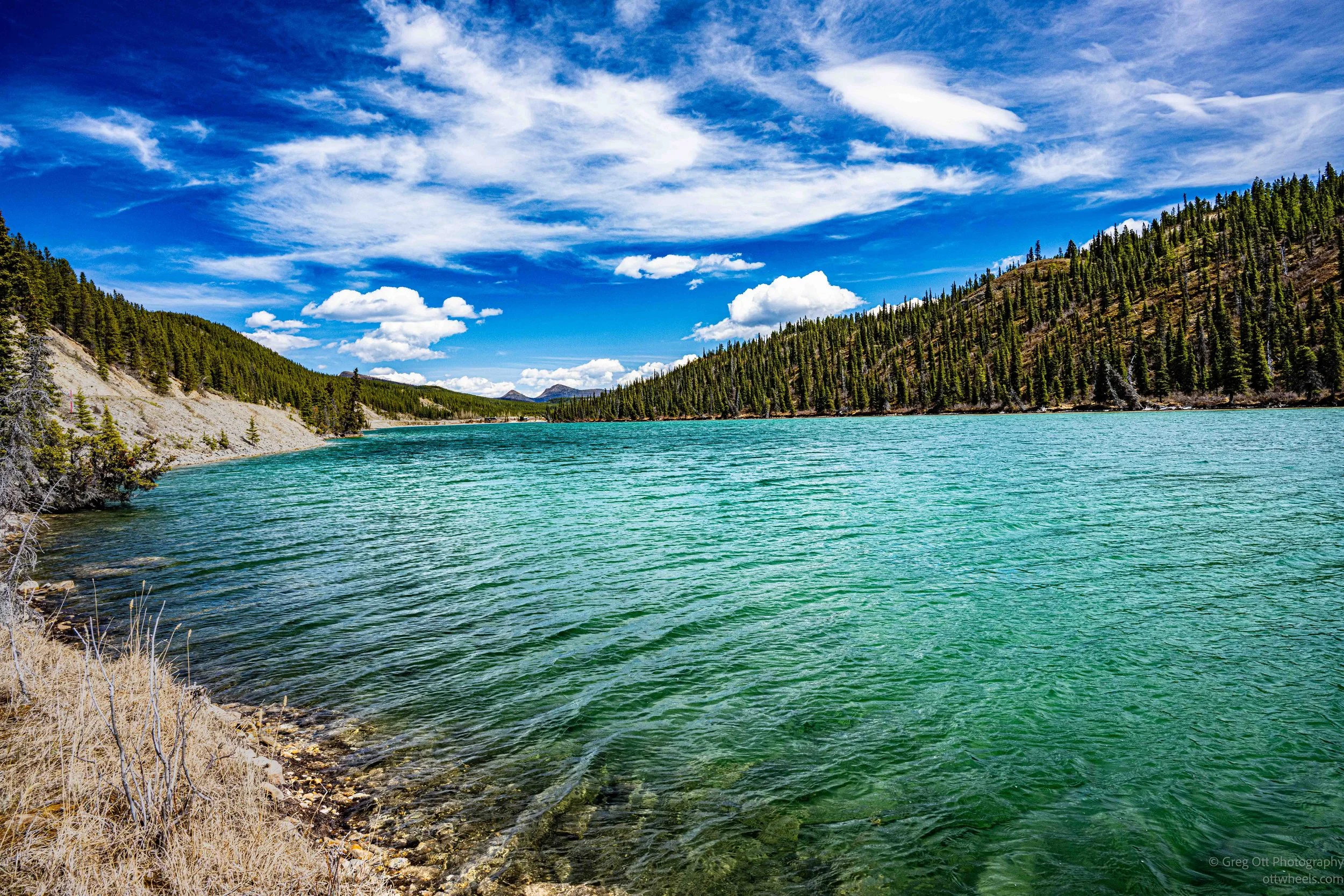
The Alaska Highway north of Fort Nelson quickly transforms into something far more remote and rugged than most travelers expect. This section through Stone Mountain Provincial Park, Summit Lake, and Muncho Lake offered injured bears along the roadside, abandoned highway relics, emerald glacial lakes, lingering spring ice, mountain wildlife, and some of the most beautiful scenery of the trip so far.
Drive To Fort Nelson
A long driving day north on the Alaska Highway through remote northern British Columbia brought endless forests, wetlands, rough road repairs, wildlife sightings, and eventually Fort Nelson. Along the way I saw bears, a dead moose, and reflected on how different northern travel feels compared to the American West. The day ended down a quiet ATV trail under the lingering northern twilight.
Mile 0 Alaska Highway
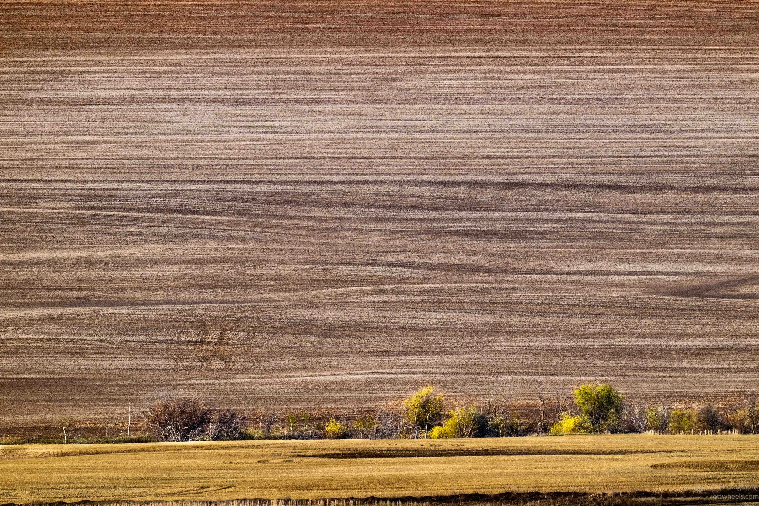
After visiting Mile 0 of the Alaska Highway in Dawson Creek, I continued north through Fort St. John and into Rose Prairie, British Columbia. The landscape shifted between rolling prairie farmland, boreal forest, and large oil and gas operations. Along the way I photographed the northern evening light, learned about conservation farming techniques, and explored the region where the massive Chinchaga Fire began in 1950.