Muncho Lake & Liard River Hot Springs
The spot north was very quiet except for a bird that made and interesting sound periodically. I pulled out merlin and it identified it as a Tennessee Warbler. Soon after an American Robin and a Red-breasted Nuthatch chirped in. Something was making a sound on bark nearby. The air in the van was cooler than normal because the heat had stopped functioning. The heater seemed to be working, but the pump for the heat exchanger wasn’t moving the hydronic fluid.
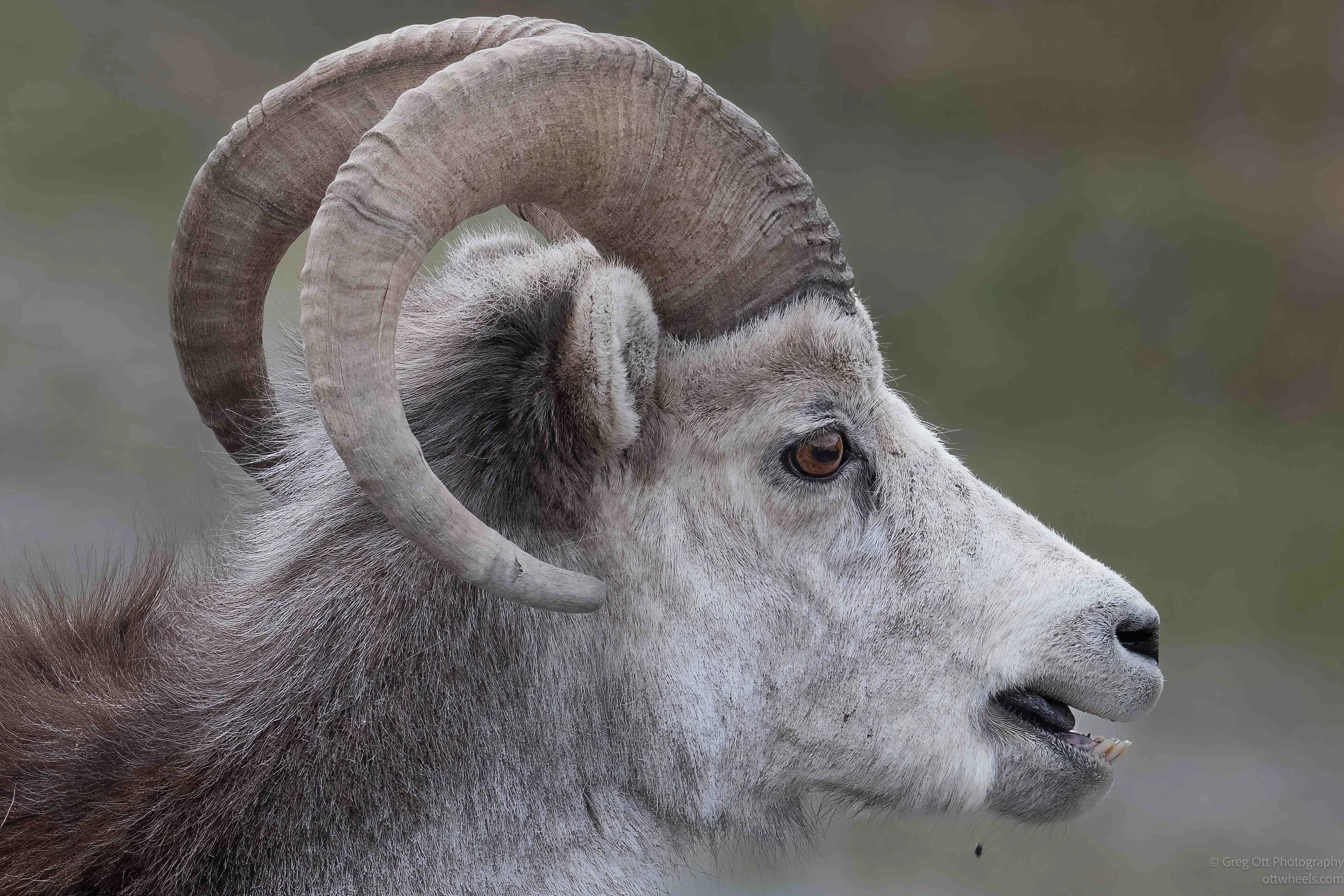
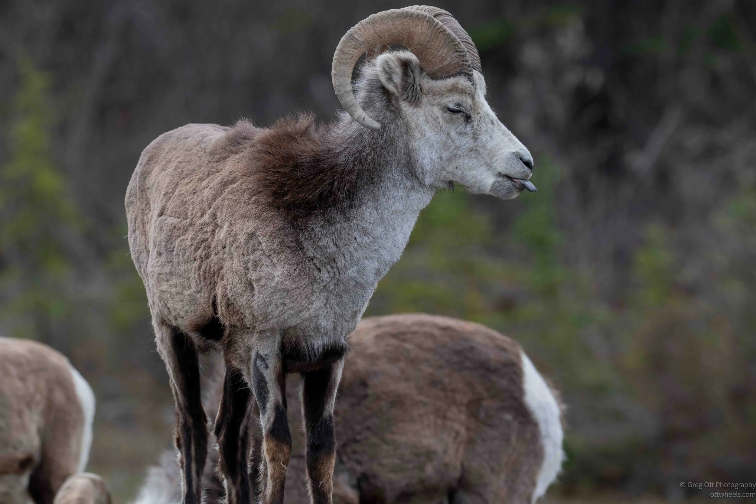
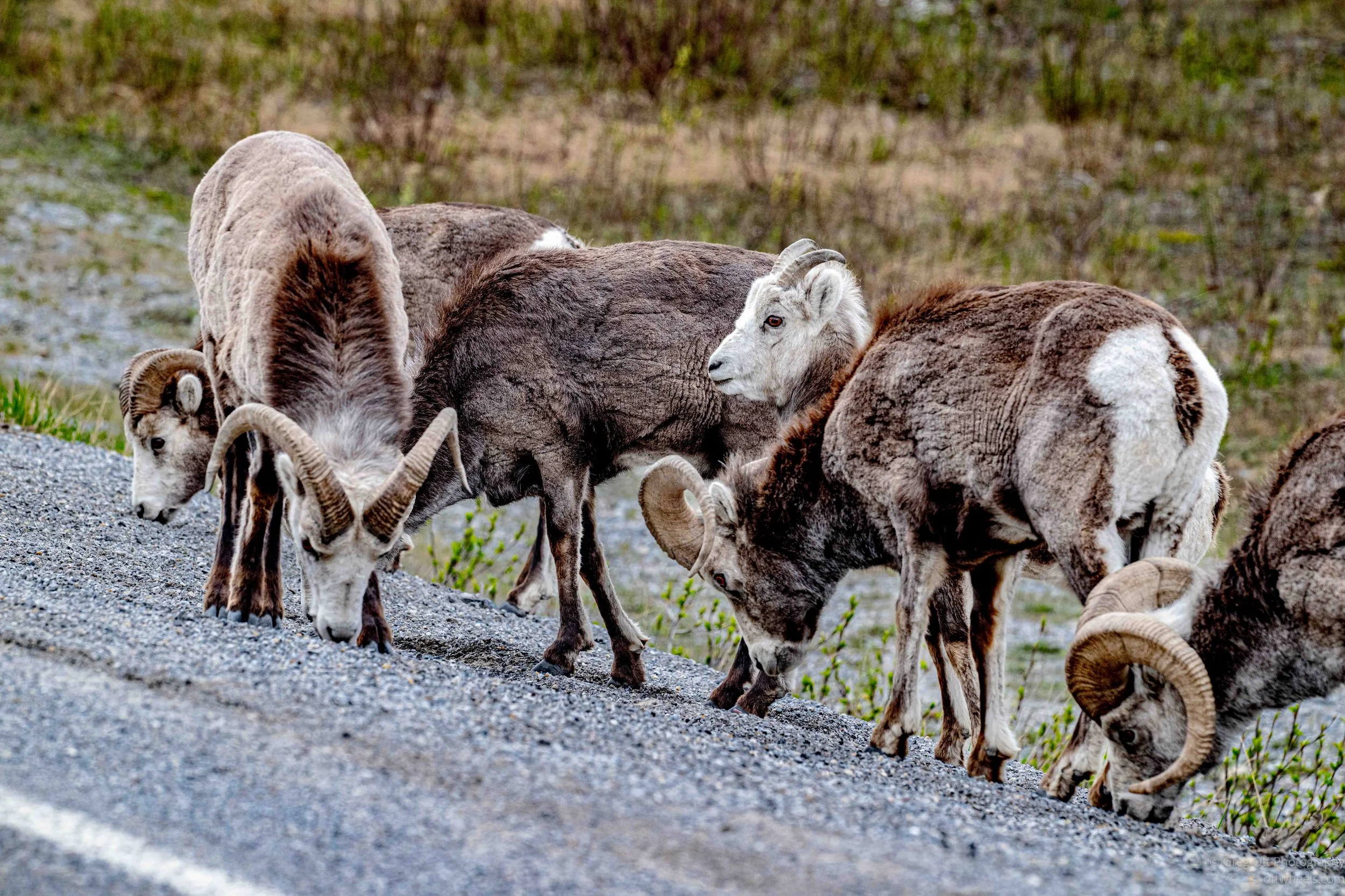
I drove back towards Muncho Lake about 30 minutes. I didn’t make it 10 minutes when I saw a group of longhorn sheep along the road. I had to stop and take photos. There was something on the ground that I couldn’t see. It seemed to be in the stones and very close to the road. I’m not sure how they filtered the stones out. There were large 18-wheelers passing within feet of them and they didn’t budge. They were either very hungry, or the meal was very tasty.
Muncho Lake
Muncho Lake Provincial Park sits along one of the most remote and beautiful sections of the Alaska Highway in northern British Columbia. The lake itself stretches for roughly 12 km through a long mountain valley surrounded by steep limestone ridges and dense northern forest. The color of the water almost looks artificial at times, shifting between deep emerald and bright turquoise depending on the light. That color comes from glacial minerals suspended in the water, similar to other glacier-fed lakes in the Canadian Rockies, although Muncho often appears even more saturated because of the dark forests and gray rock surrounding it. In May, large sections of the lake can still be covered with ice while other areas begin to open into narrow bands of water, creating a patchwork of white, blue, and green across the surface.
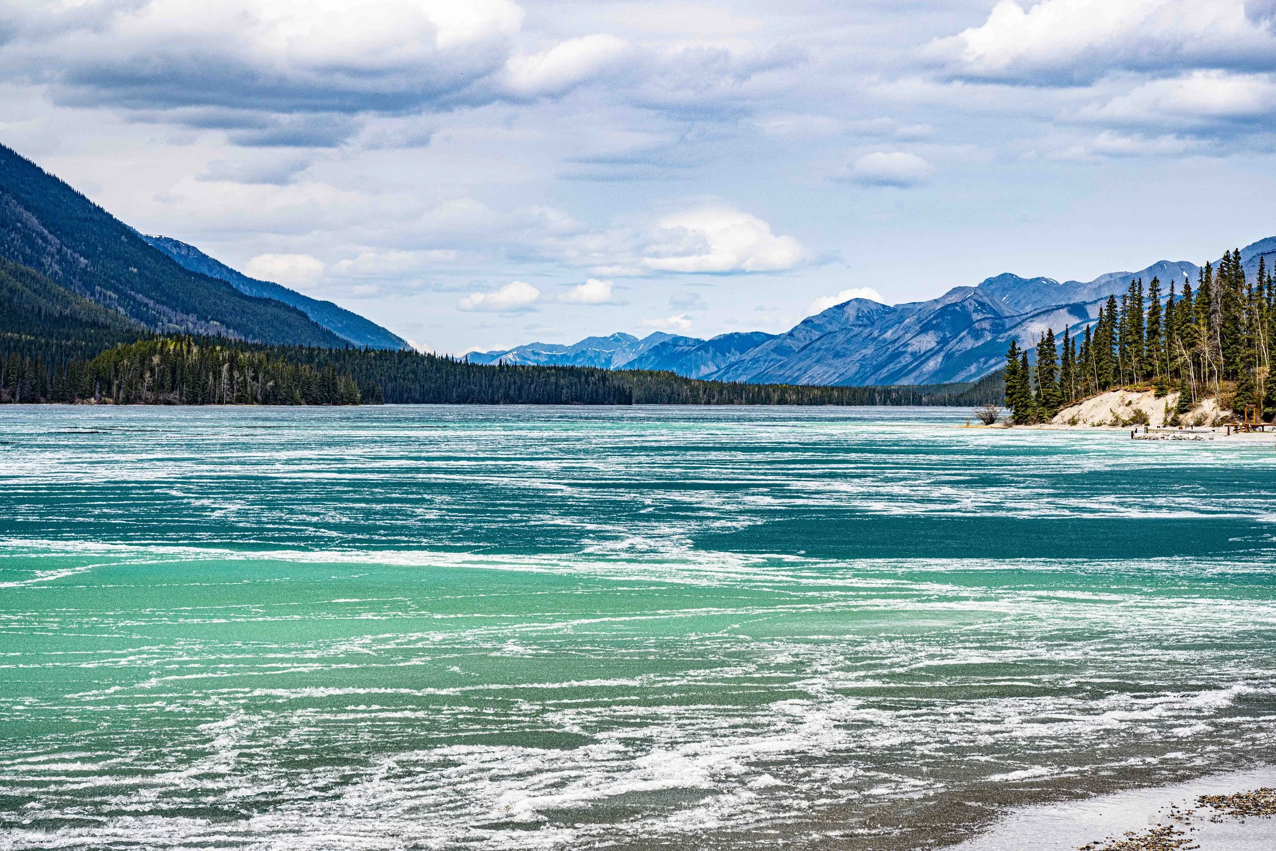
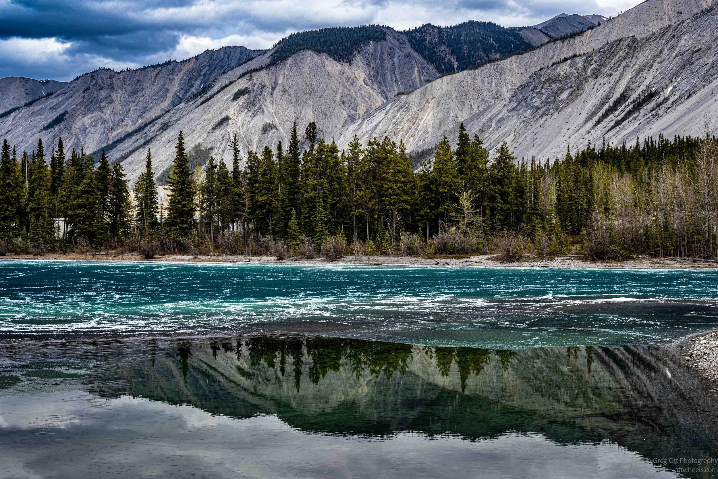
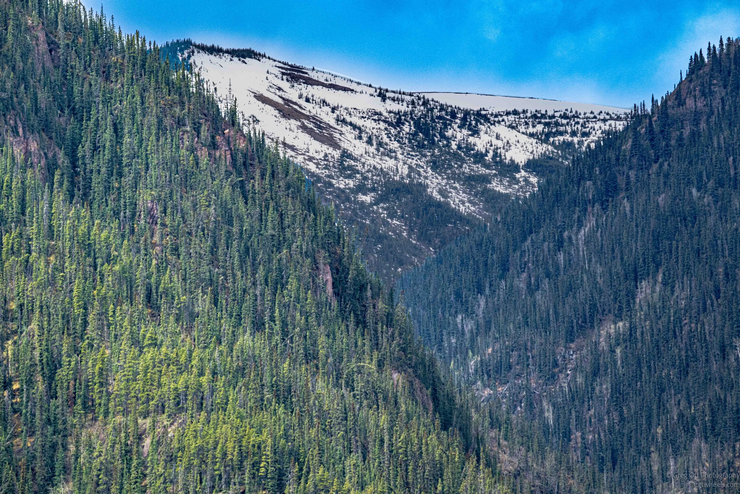
The area feels isolated even today, but it became far more important after construction of the Alaska Highway construction during World War II. Before the highway, this region was largely accessible only through Indigenous travel routes and rough wilderness trails. The road transformed Muncho Lake into a critical stop for fuel, lodging, and supplies along the long northern route between Dawson Creek and the Yukon. Places like Northern Rockies Lodge still carry some of that frontier-roadhouse atmosphere. Travelers arrive dusty and exhausted after hours behind the wheel, and the lodge becomes part restaurant, part fuel stop, part social center for tourists, truckers, hunters, and people heading north into the Yukon or Alaska.
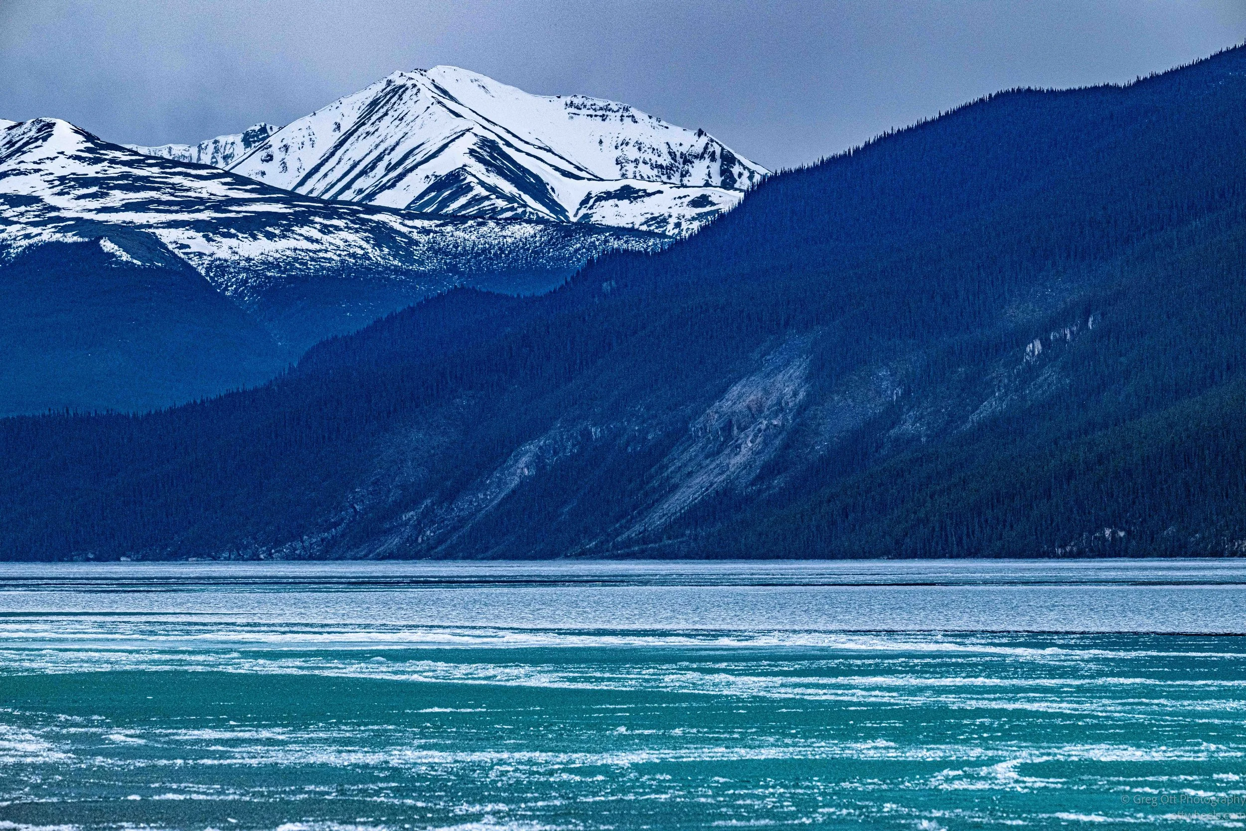
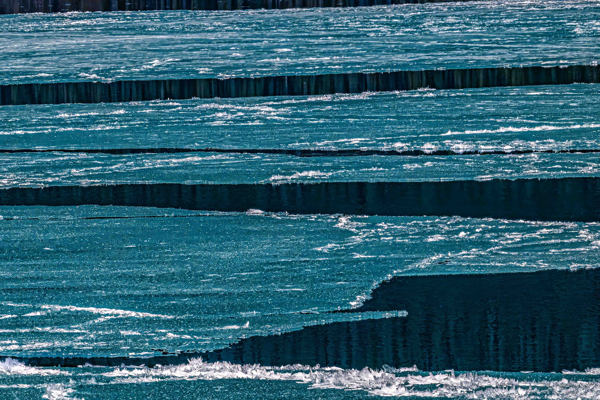
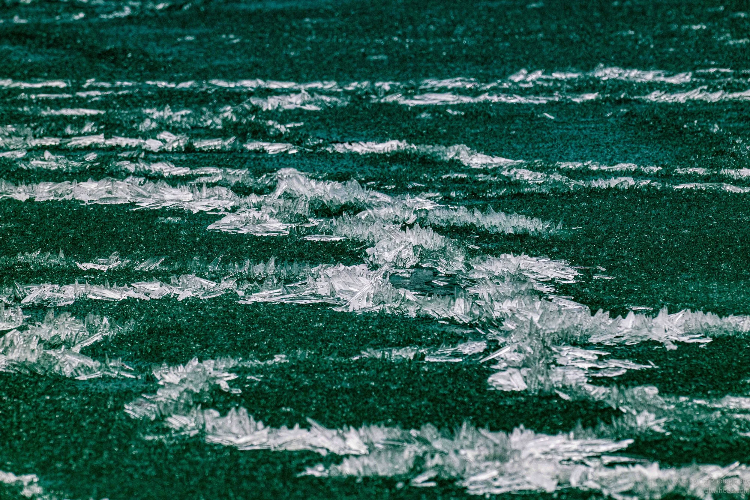
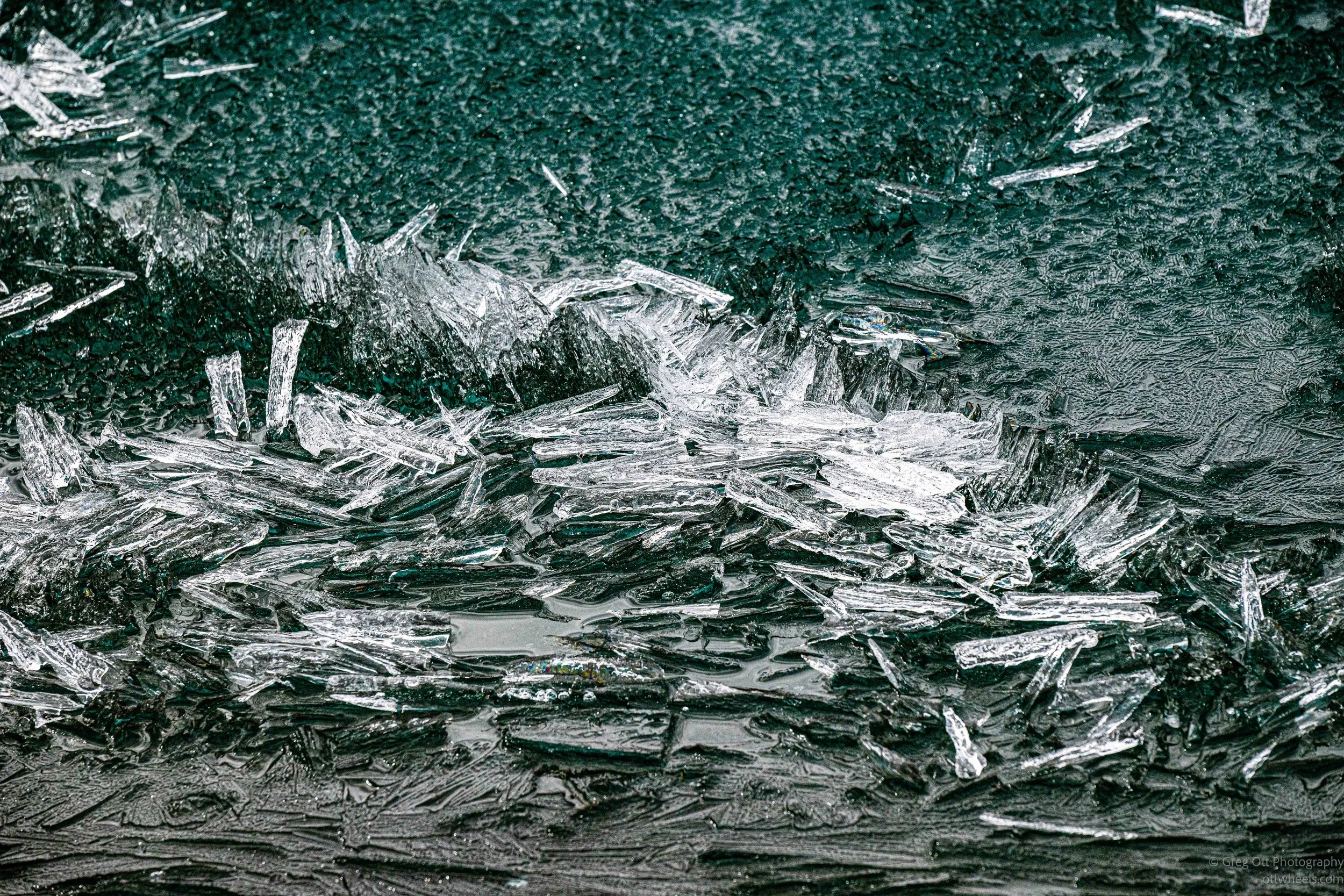
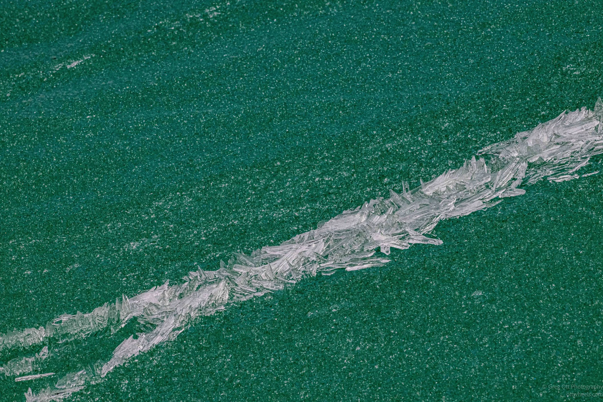
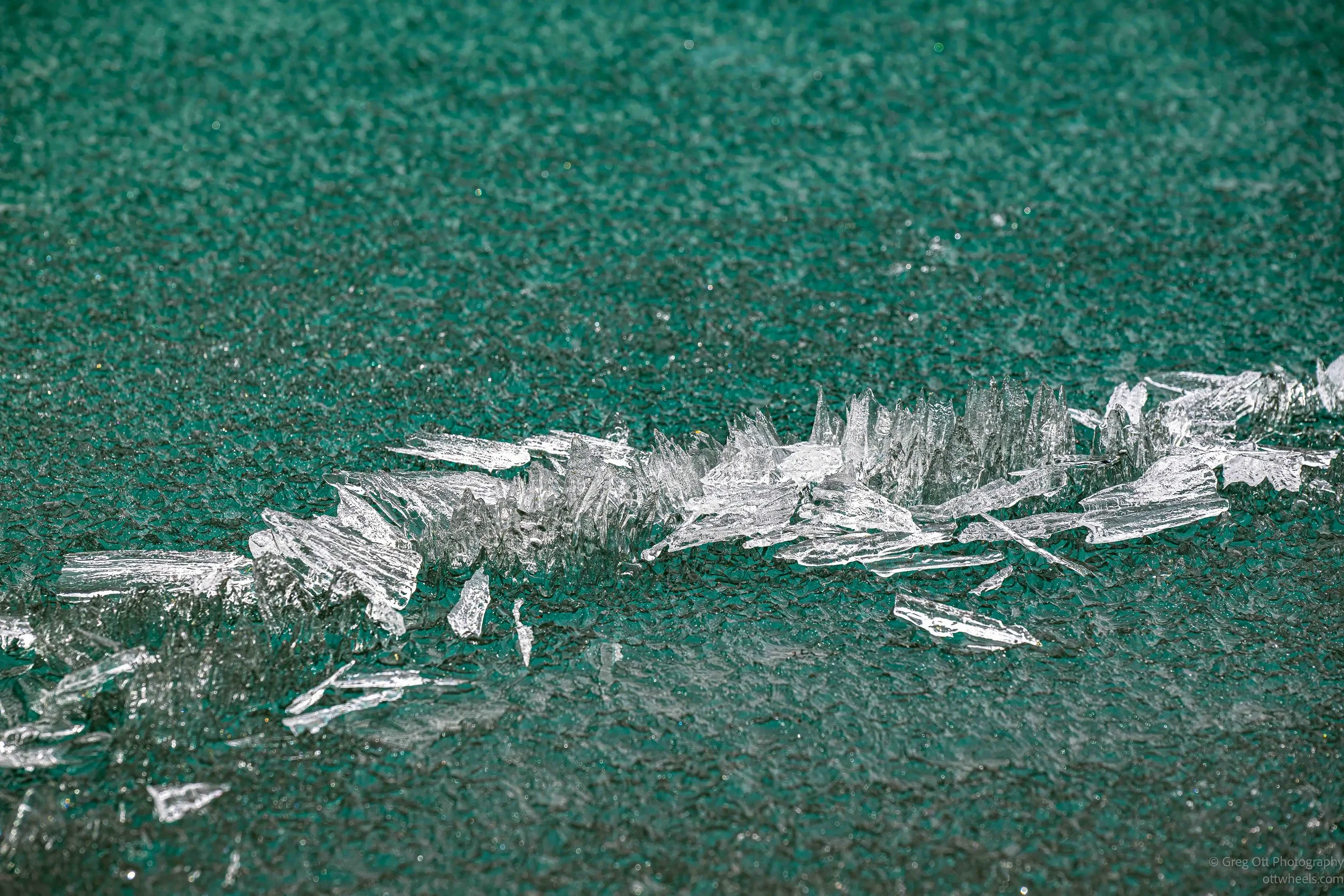
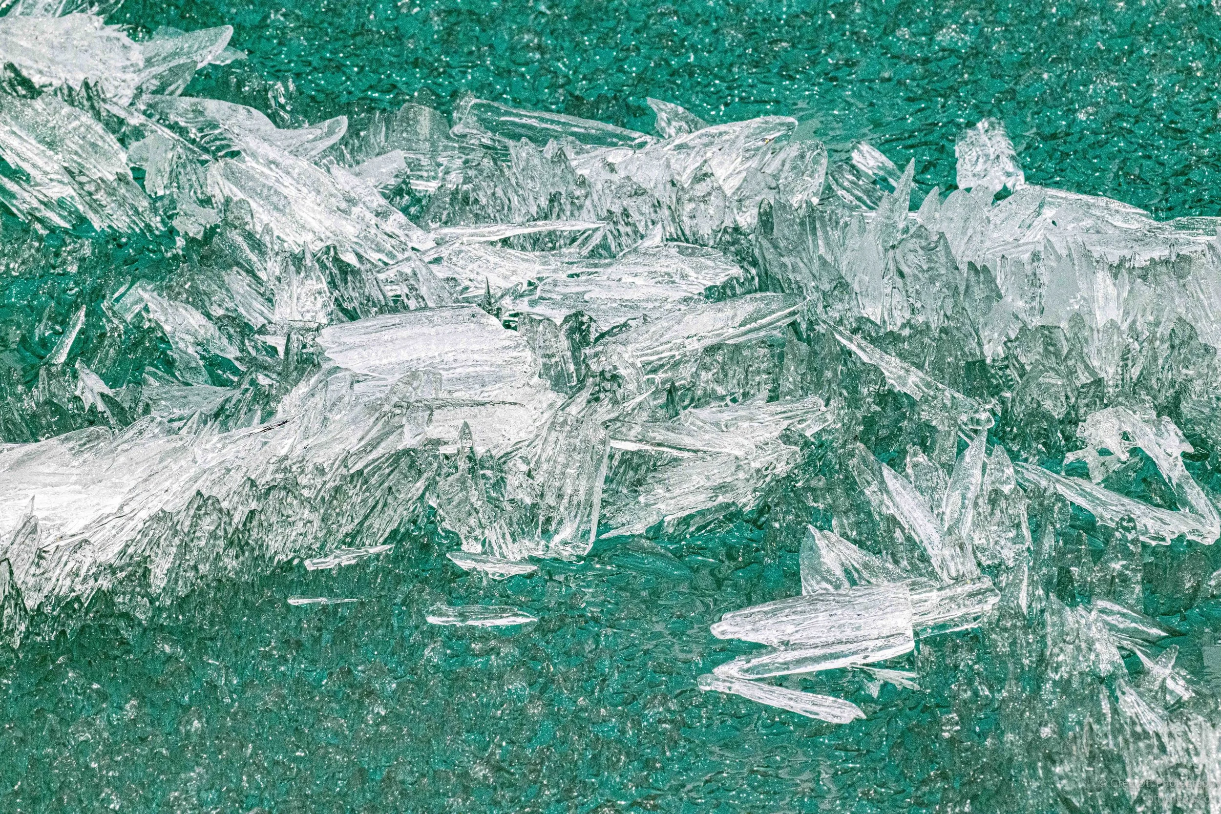
I drove back to the lake specifically to photograph the blue ice near the shoreline. The ice had fractured into fields of crystals and translucent plates that glowed in the late light. I was trying to capture sharp images of the crystal formations, but the contrast between the bright ice and the dark water pushed beyond what the camera sensor could comfortably handle. Standing there, I could hear the lake constantly moving beneath the surface. The ice cracked and shifted with deep hollow sounds that echoed across the shoreline, followed by smaller sharp snaps near the edge where the frozen plates rubbed against one another. The entire lake felt alive, slowly changing minute by minute as spring continued breaking it apart.
Liard River Hot Springs
I drove north to Liard River Hot Springs Provincial Park. At the entrance I talked with the ranger about my options. It was C$5 for a day pass to access the park and hot springs, or C$23 to camp, plus another C$20 because I wasn’t Canadian. I wasn’t about to spend C$43 for what was basically a parking spot, so I went with the C$5 pass, which also included access to the hot springs.
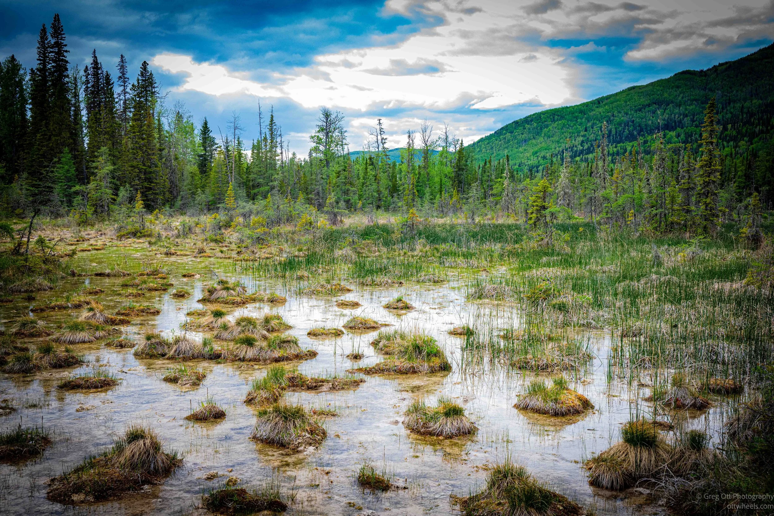
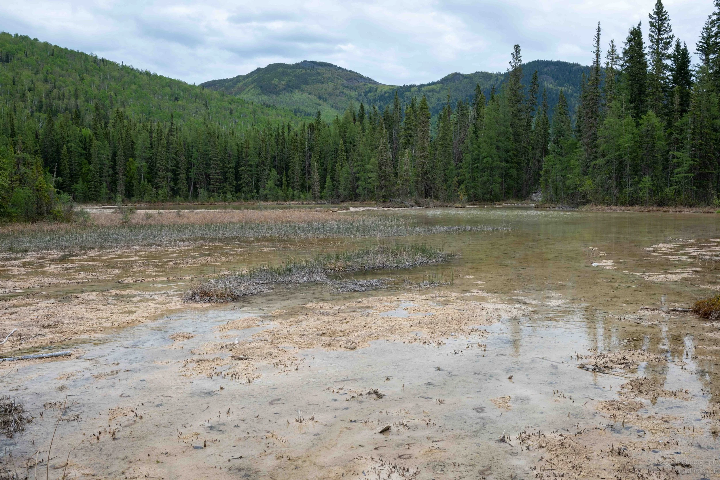
The walk to the springs is along a long elevated wooden boardwalk that cuts through a huge wetland surrounded by dense northern forest and rolling green mountains. The landscape for me was totally unexpected. Water spread out across the marsh in shallow pools and channels, with thick grasses and reeds growing in irregular clumps across the surface. Some sections of the wetland were bright green while others were coated in pale mineral deposits left behind by the hot water flowing underground. Small streams crossed beneath the boardwalk and the entire area felt saturated with life.
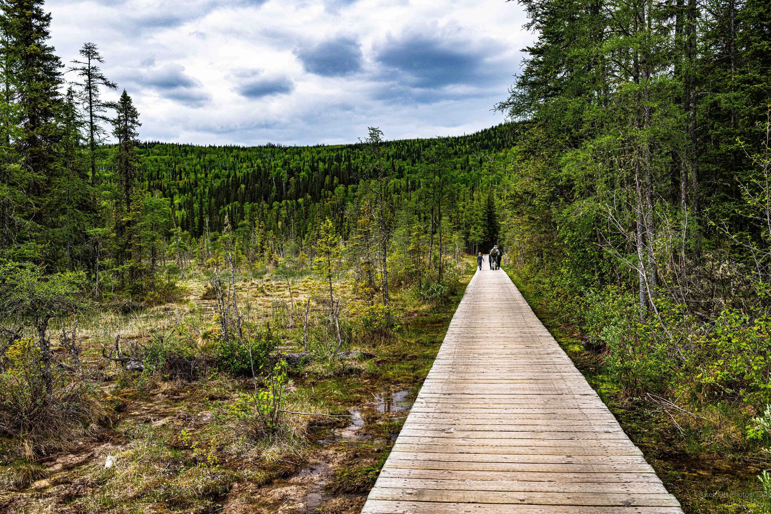
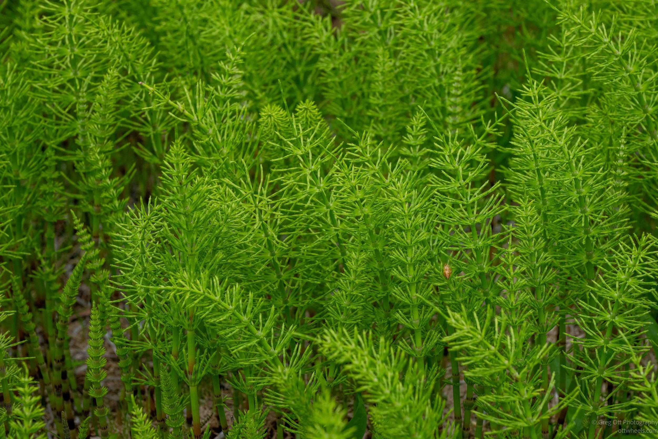
The vegetation along the trail consisted of ferns were exploding out of the ground in thick clusters, glowing bright green in the soft light. There were dense patches of horsetail plants that looked almost prehistoric, like miniature bamboo forests growing from the swamp. Moss covered nearly everything. In some places it formed thick carpets over rocks and fallen trees while in others it climbed across the mineral formations themselves. There were also strange bright green pools filled with algae and mineral-rich water. Even fallen logs had unusual fungal growths attached to them, with smooth white shelf-like formations standing out against the birch bark. The entire ecosystem felt completely different from the surrounding boreal forest outside the park.
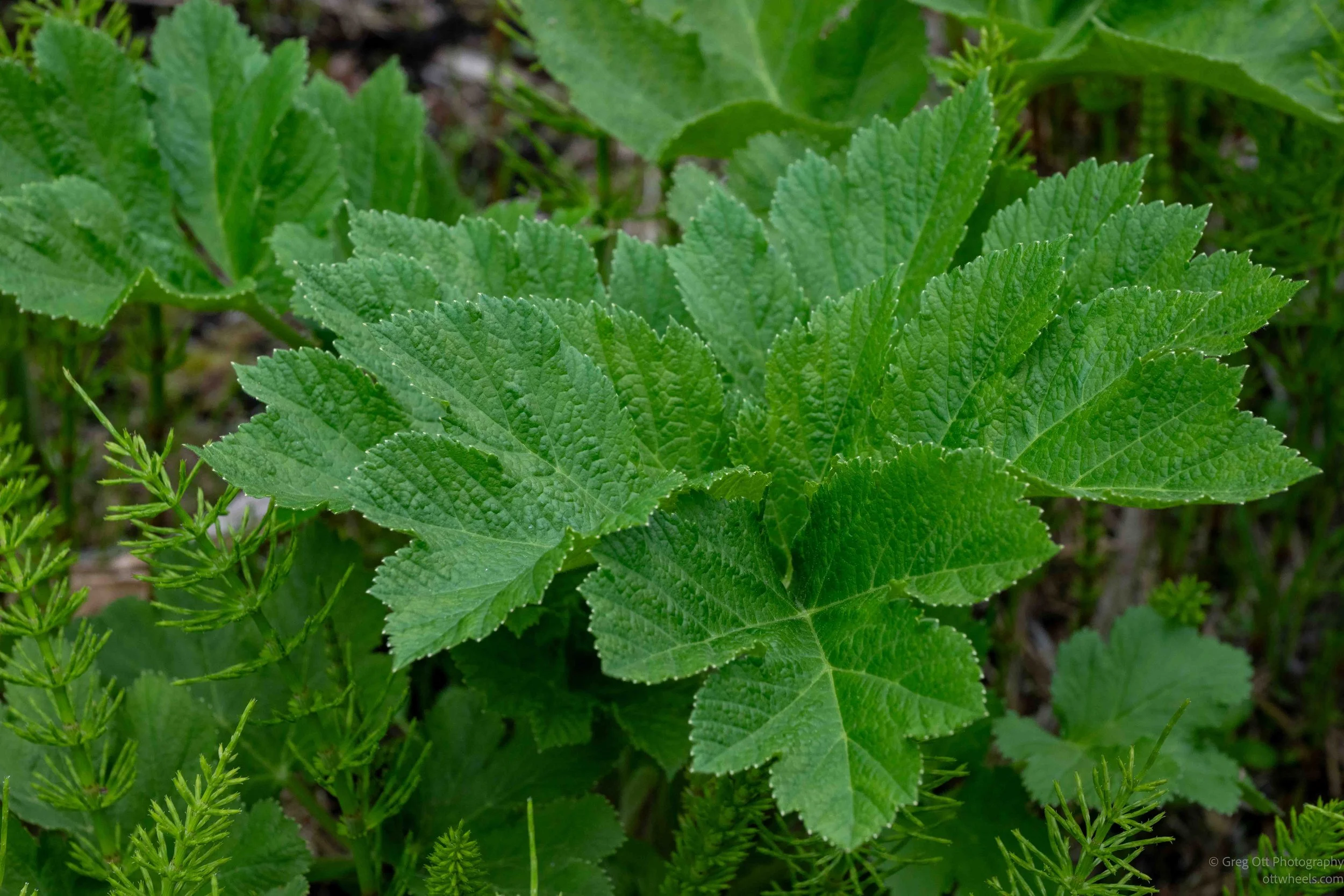
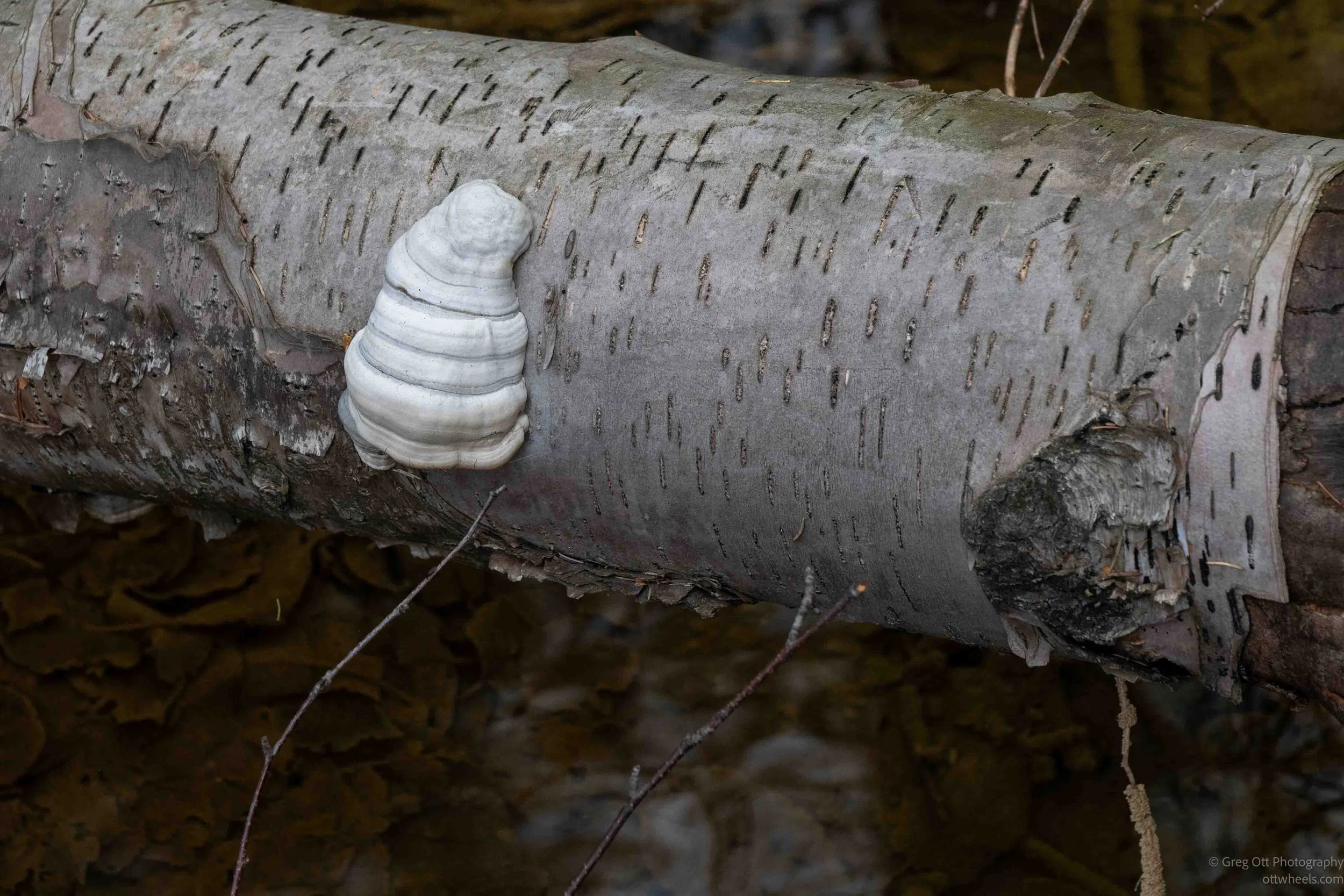
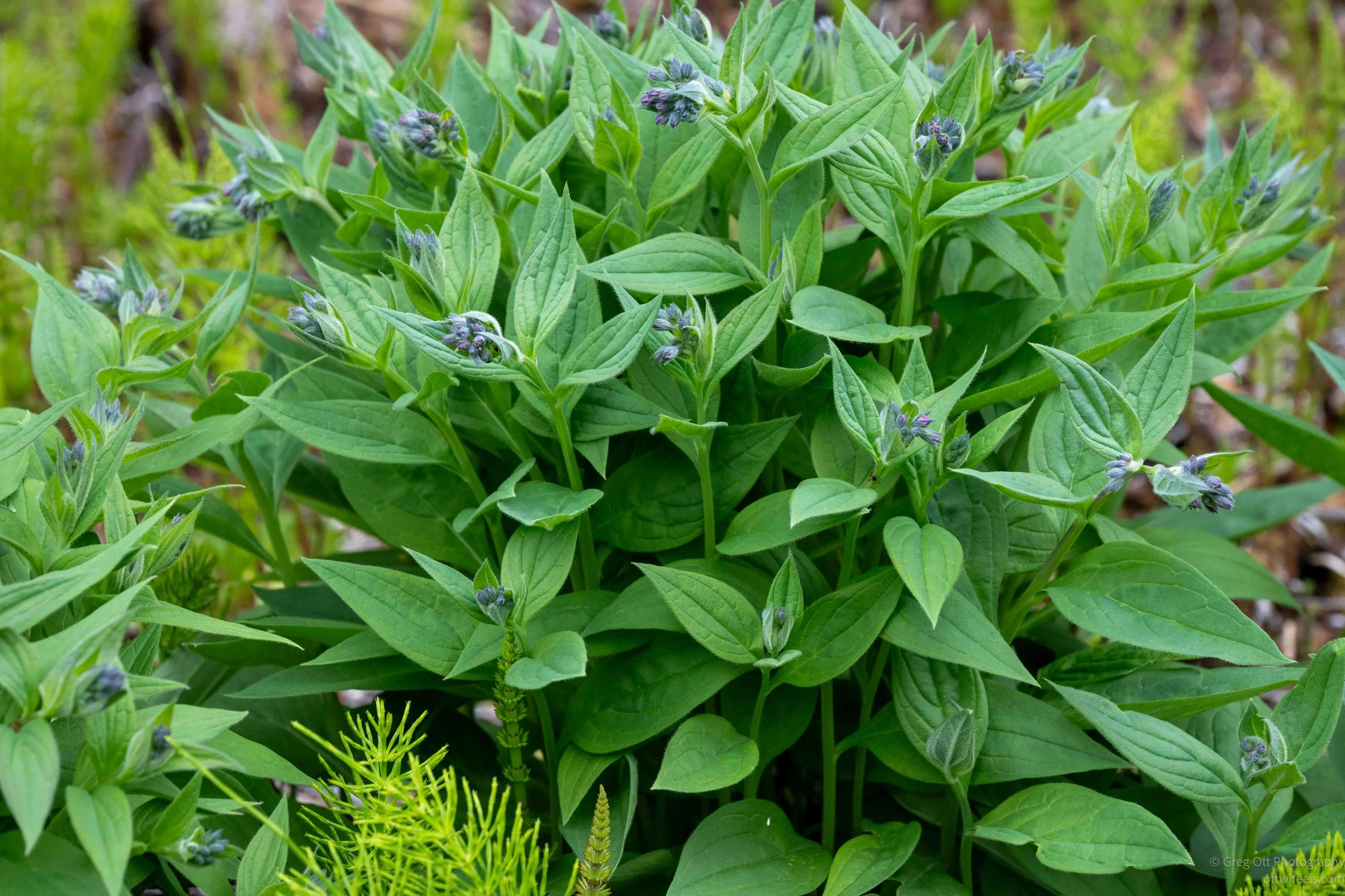
The hot springs create their own warm microclimate in the middle of the northern wilderness. The signs along the boardwalk explained that some plants found here would normally not survive this far north if not for the constant warm water flowing through the area year-round. The Hanging Gardens area supports mosses, algae, wildflowers, and delicate plant species including Kalm’s lobelia, yellow monkey flower, common butterwort, Philadelphia fleabane, and Mistassini primrose. The common butterwort especially stood out because it is actually a carnivorous plant that traps insects on sticky leaves. It seemed strange seeing tropical-looking growth and delicate flowers thriving only a short distance from a region that spends much of the year buried in snow and brutal cold.
I eventually reached the hot springs themselves. The water flowed into a large natural-looking pool surrounded by forest and wooden platforms. Steam drifted lightly off the surface while people soaked quietly in the warm water. The pool had a cloudy blue-green color from the mineral content and the entire setting felt surprisingly peaceful considering how many travelers stop here along the Alaska Highway. I thought about going in but decided not to. Instead I sat for a while in the sun listening to the water and watching people relax after long days on the road.
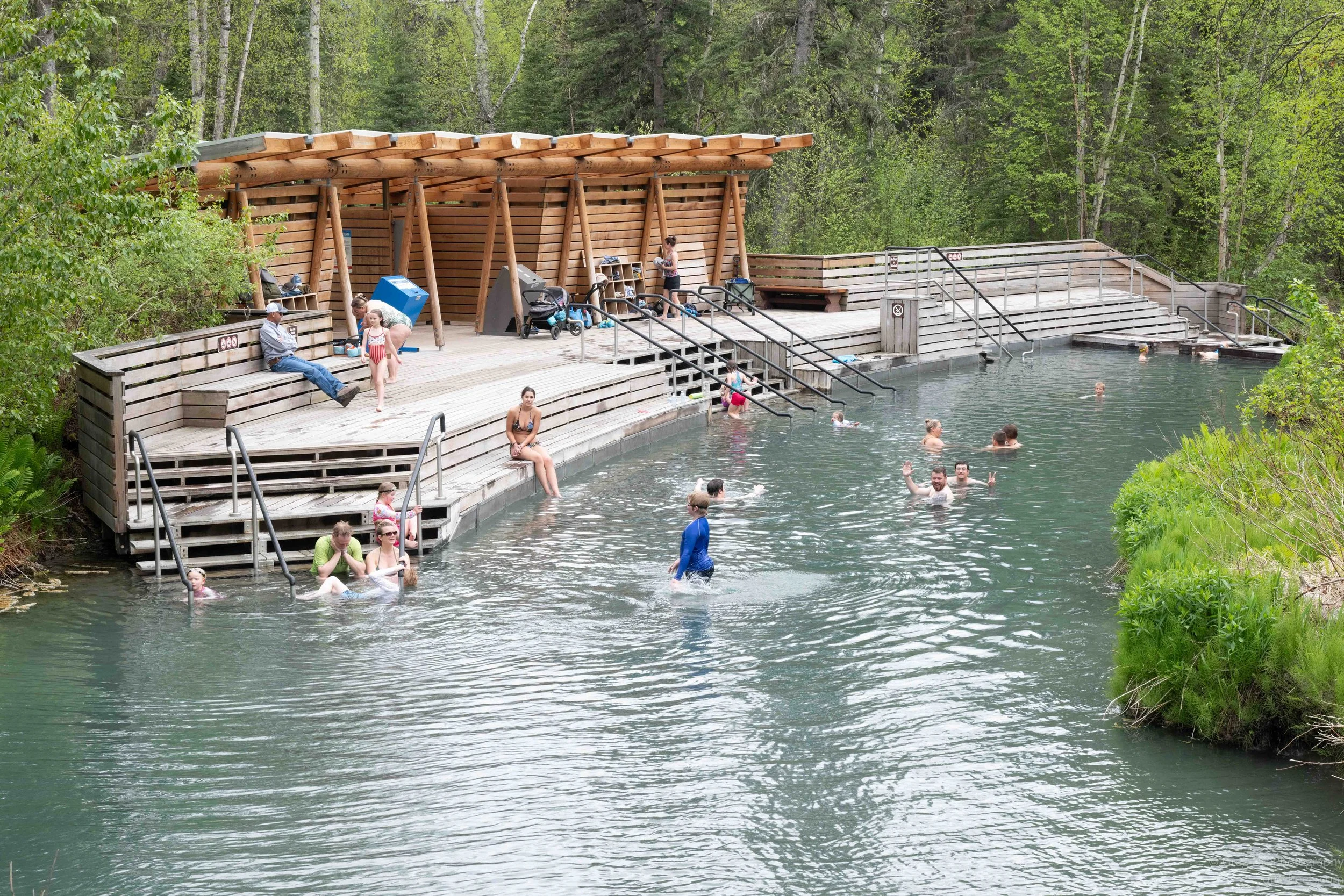
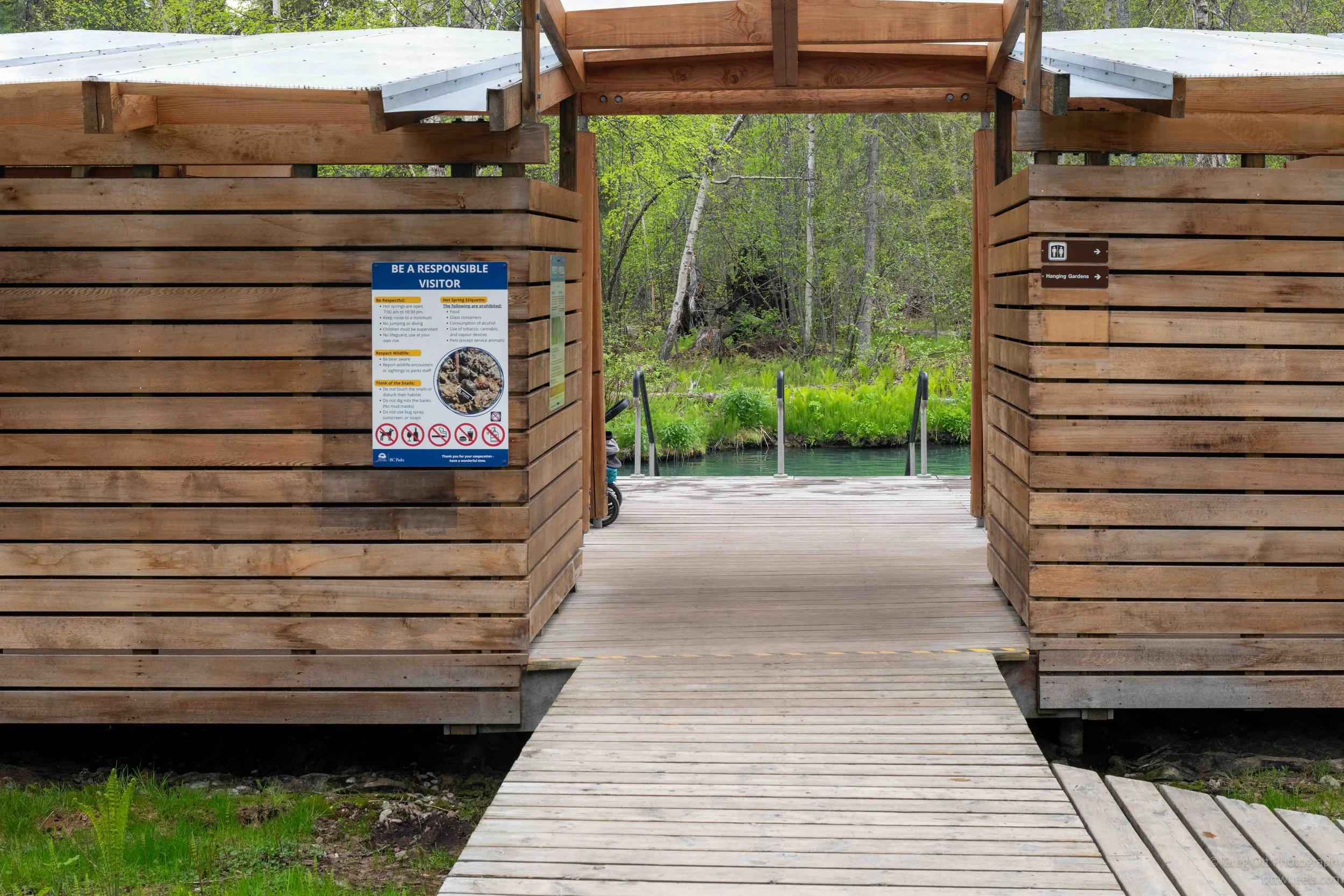
After leaving the springs I continued hiking toward the tufa formations. I had heard the word before but never really understood what it was. The signs explained that the hot spring water rises upward through porous limestone underground, dissolving calcium and other minerals as it travels. When the mineral-rich water reaches the surface and reacts with the air, the minerals harden and slowly form stone deposits called tufa. Over thousands of years the deposits build upward into terraces, shelves, and flowing formations that almost resemble frozen waterfalls.
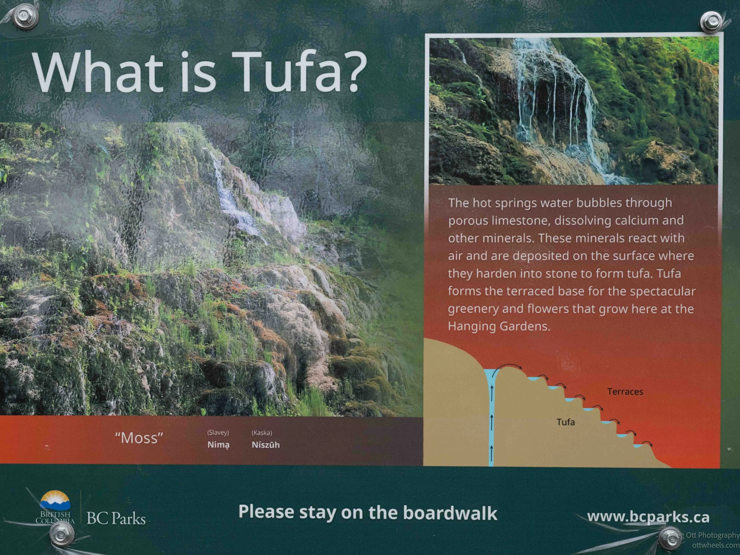
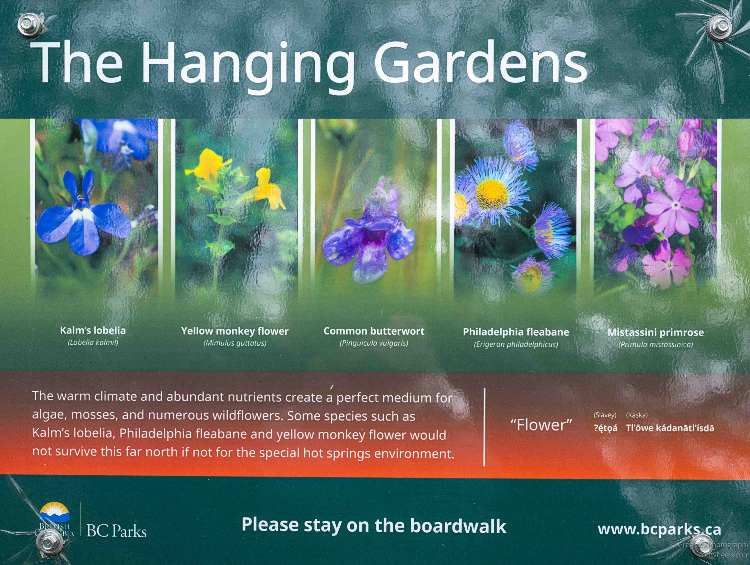
The tufa hillside itself was fascinating. Warm mineral water seeped and dripped continuously across the surface in tiny streams and miniature waterfalls. Mosses and plants clung to every inch of it. Some areas were bright green and lush while others had hardened into rough tan and gray calcium deposits. The flowing water slowly builds new layers of stone over the older growth beneath it, meaning the hillside is constantly changing shape over time. In several places the water disappeared into the rock and reappeared farther down through tiny openings covered in moss and algae.
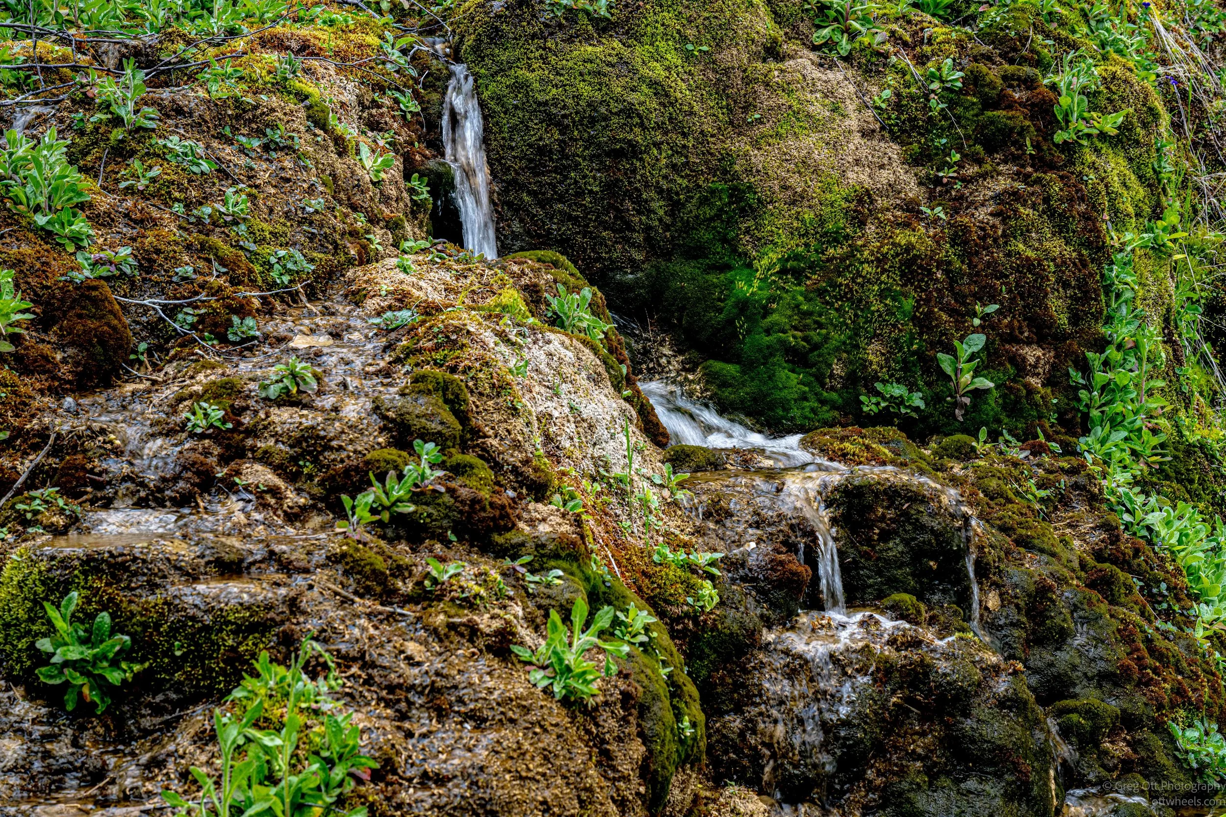
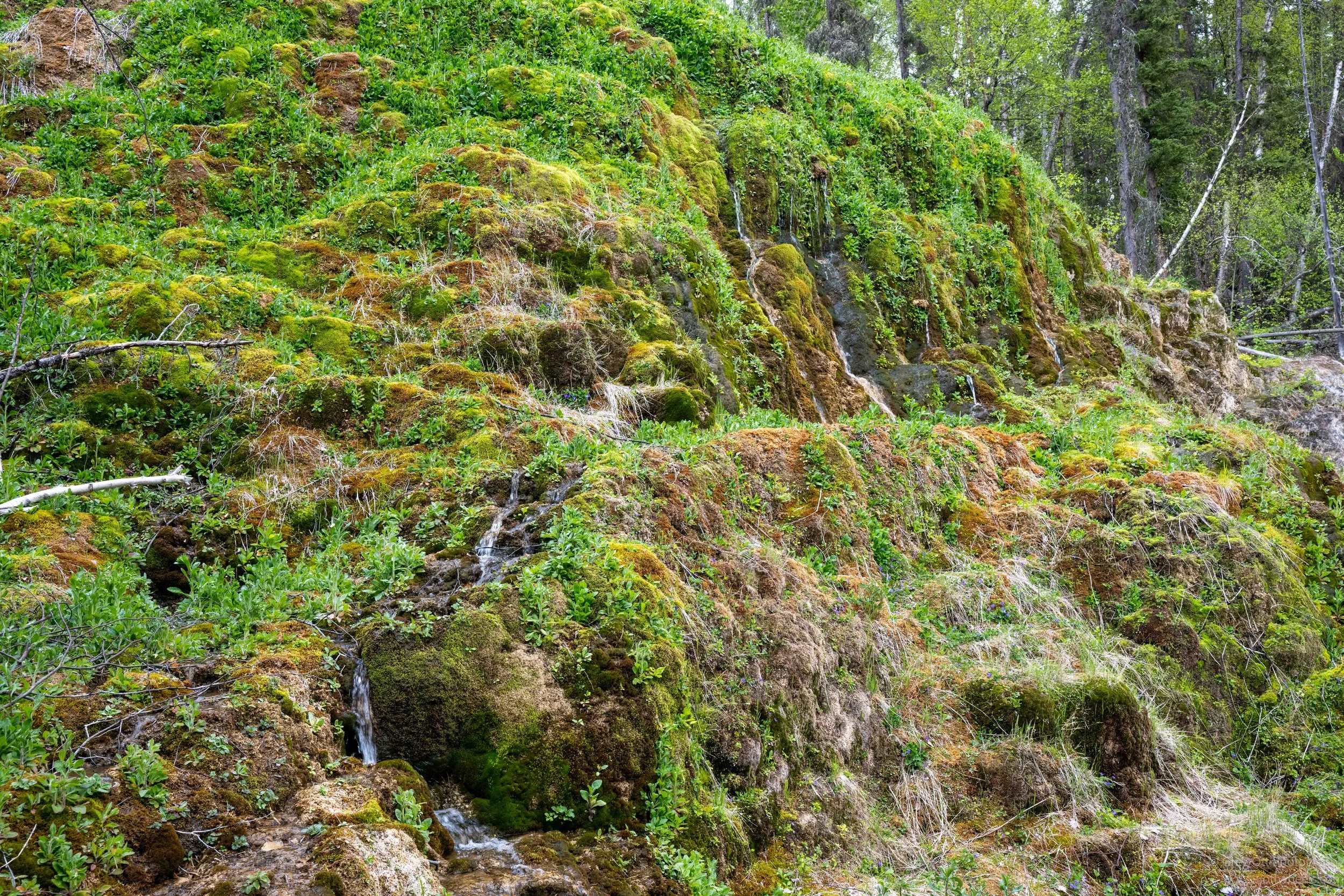
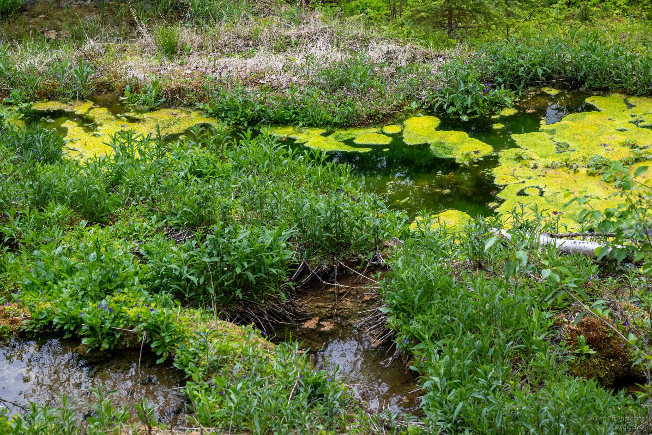
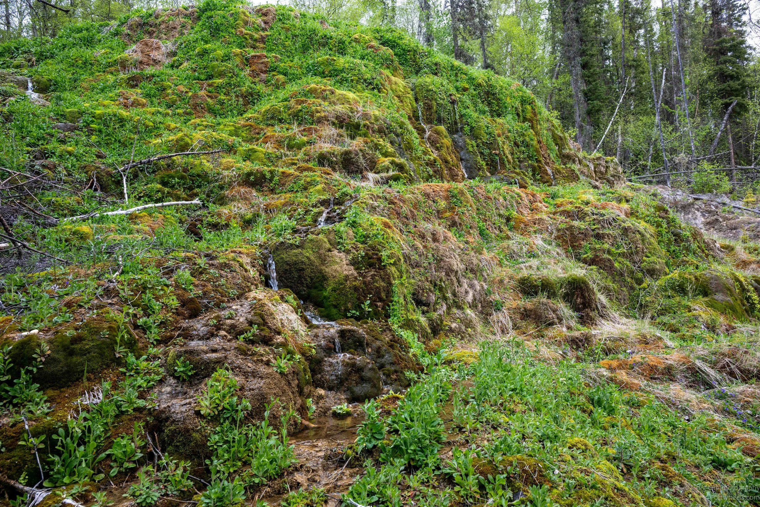
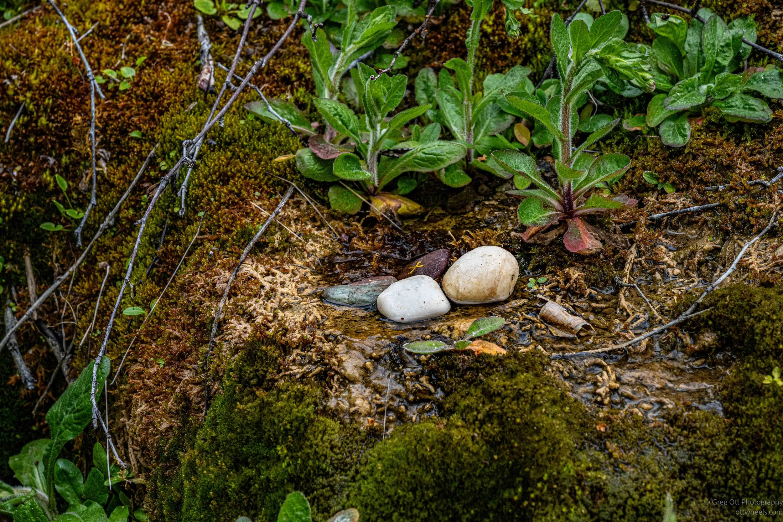
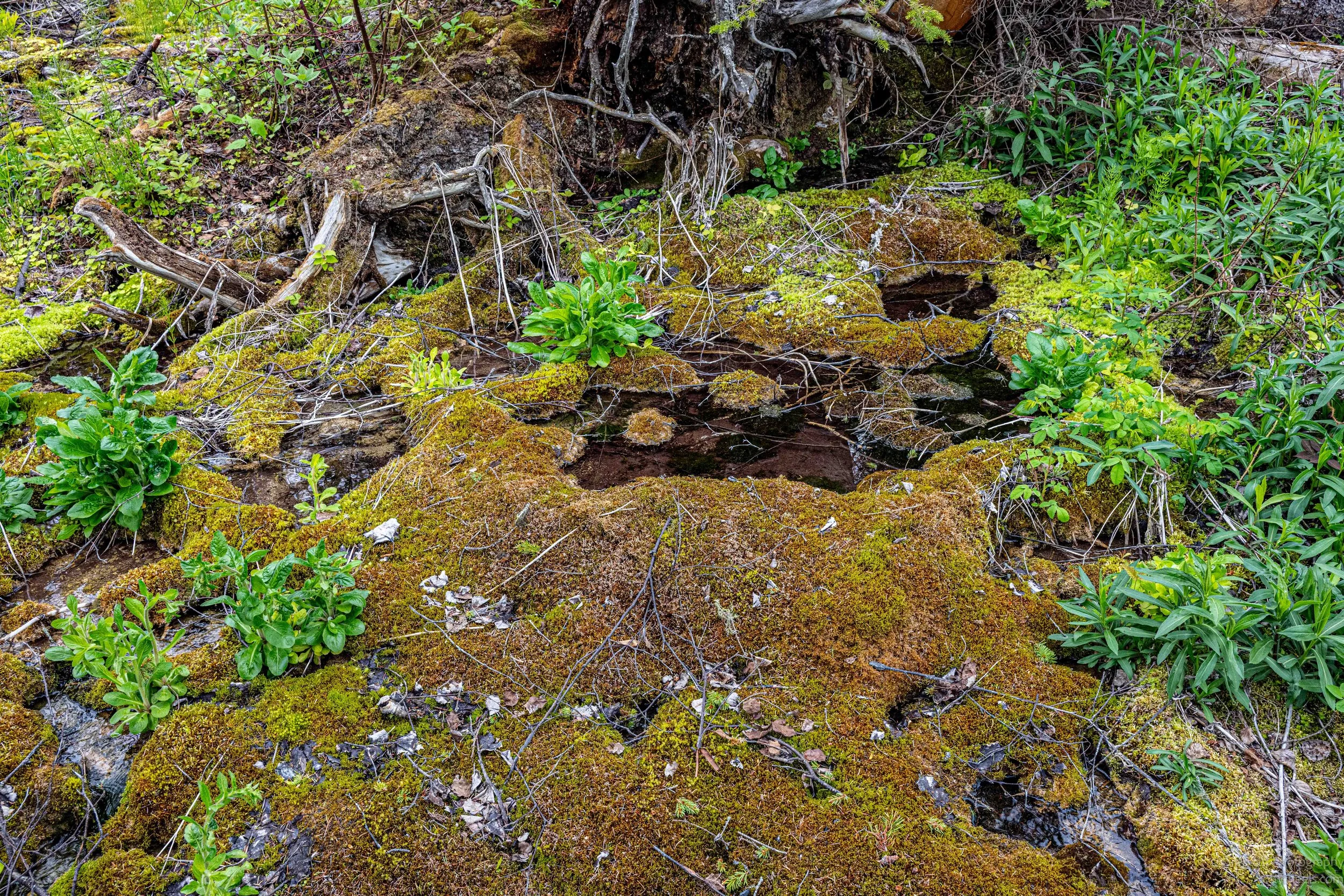
Standing there, it almost didn’t feel real. The combination of warm flowing water, heavy vegetation, mineral-covered terraces, and bright green wetlands created an environment that felt completely disconnected from the harsh northern wilderness surrounding it. Just a few kilometers away was the Alaska Highway with long empty stretches of forest, mountains, frost heaves, and cold rivers. Yet hidden inside the trees was this strange warm ecosystem quietly building itself one mineral layer at a time.
Not far up the Alaska Highway, I found a gravel road disappearing off into the distance, another access road leading into the endless forest. Shortly after turning in, there was a small loopback pullout. Another RV was already parked there, spread across enough space for three vehicles. I pulled in anyway and found a reasonably level spot off to the side.