Signpost Forest
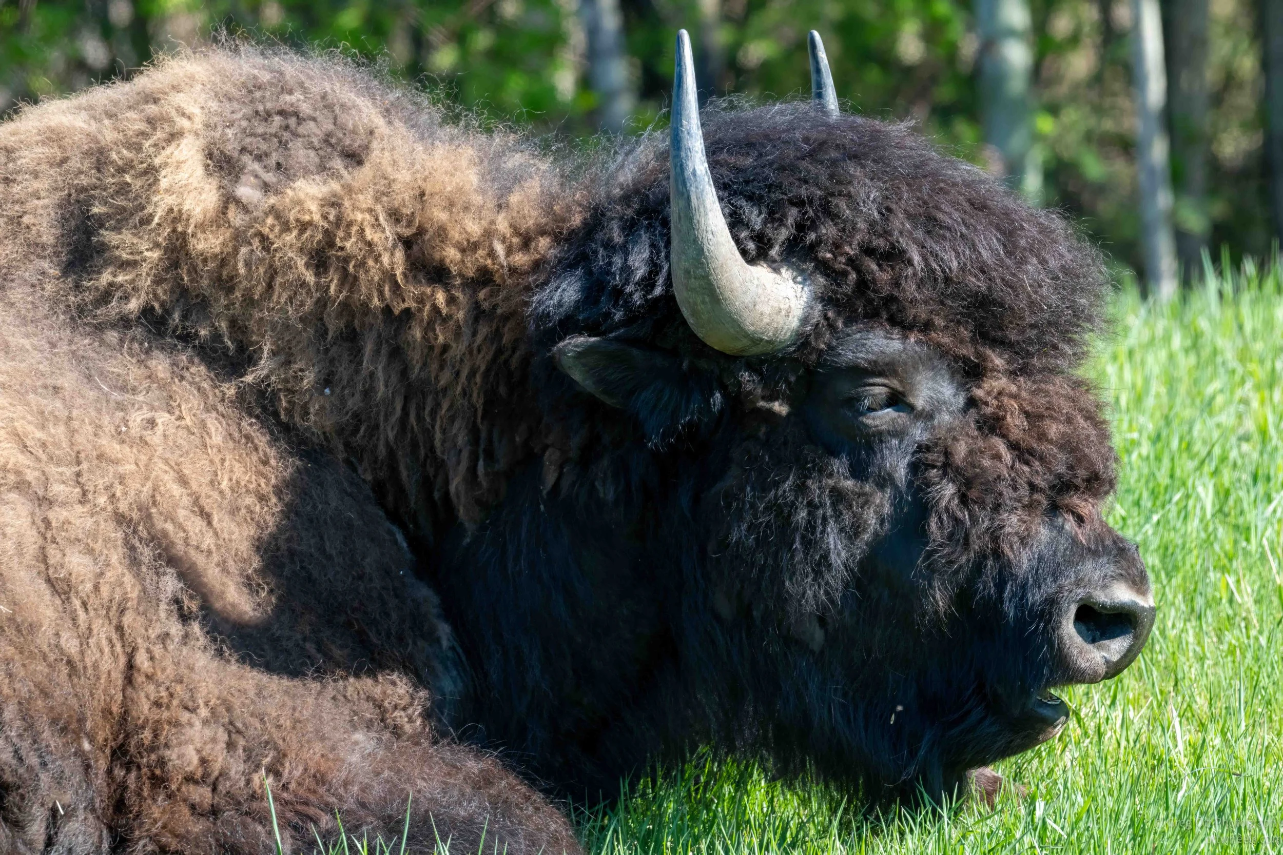
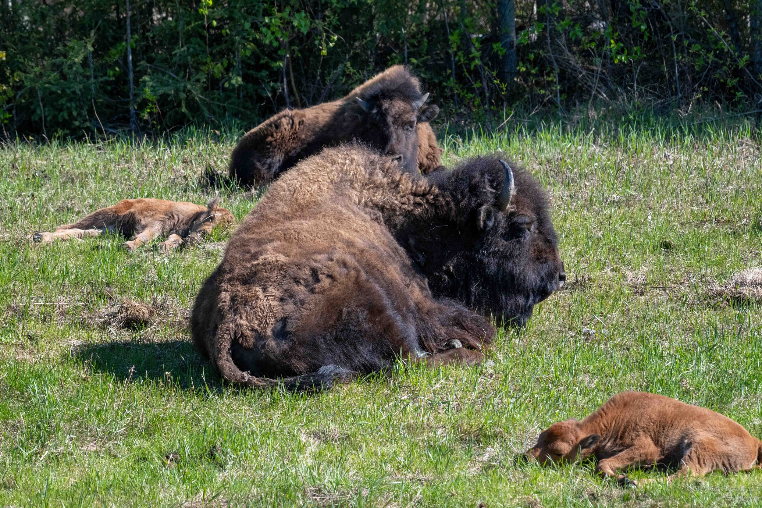
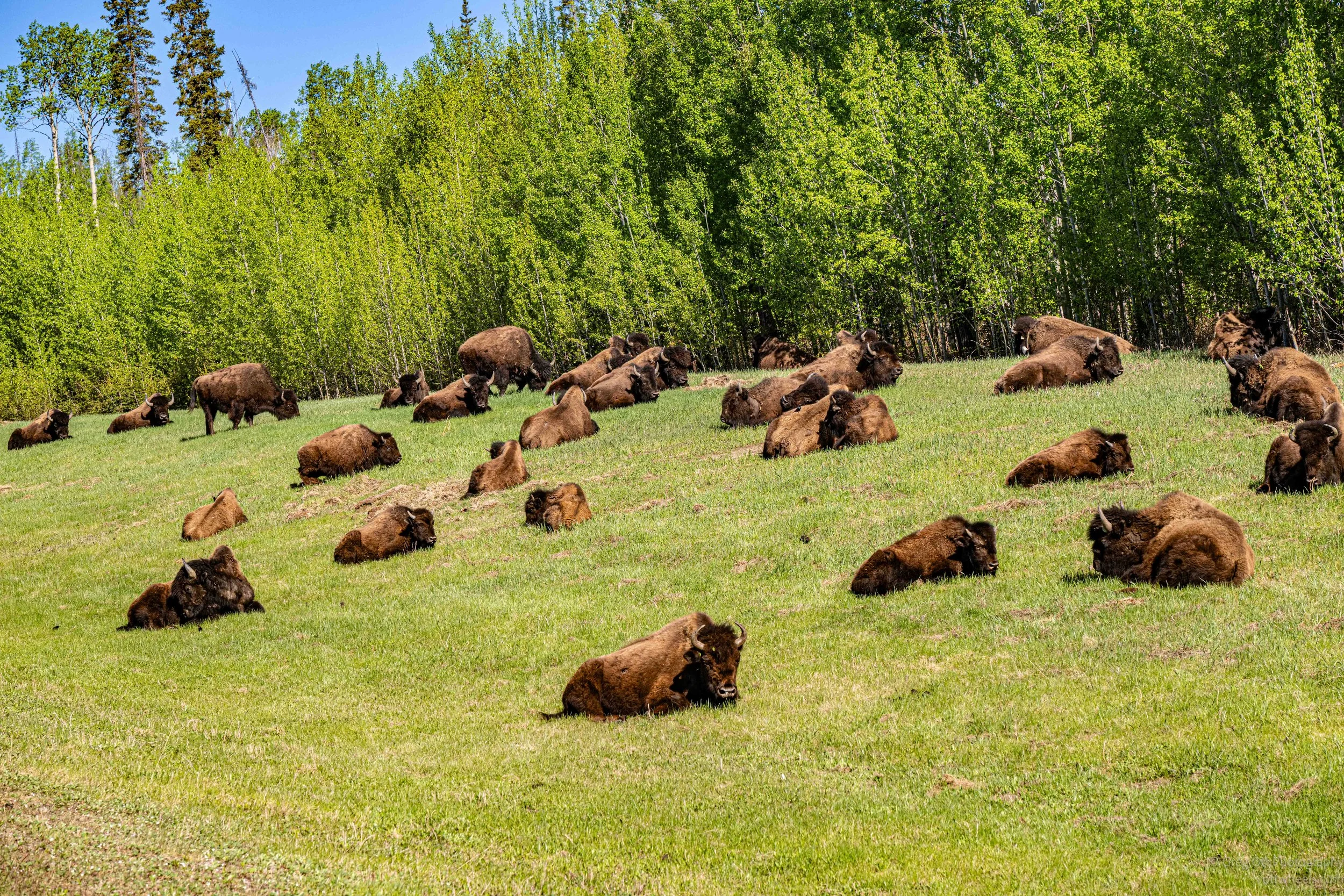
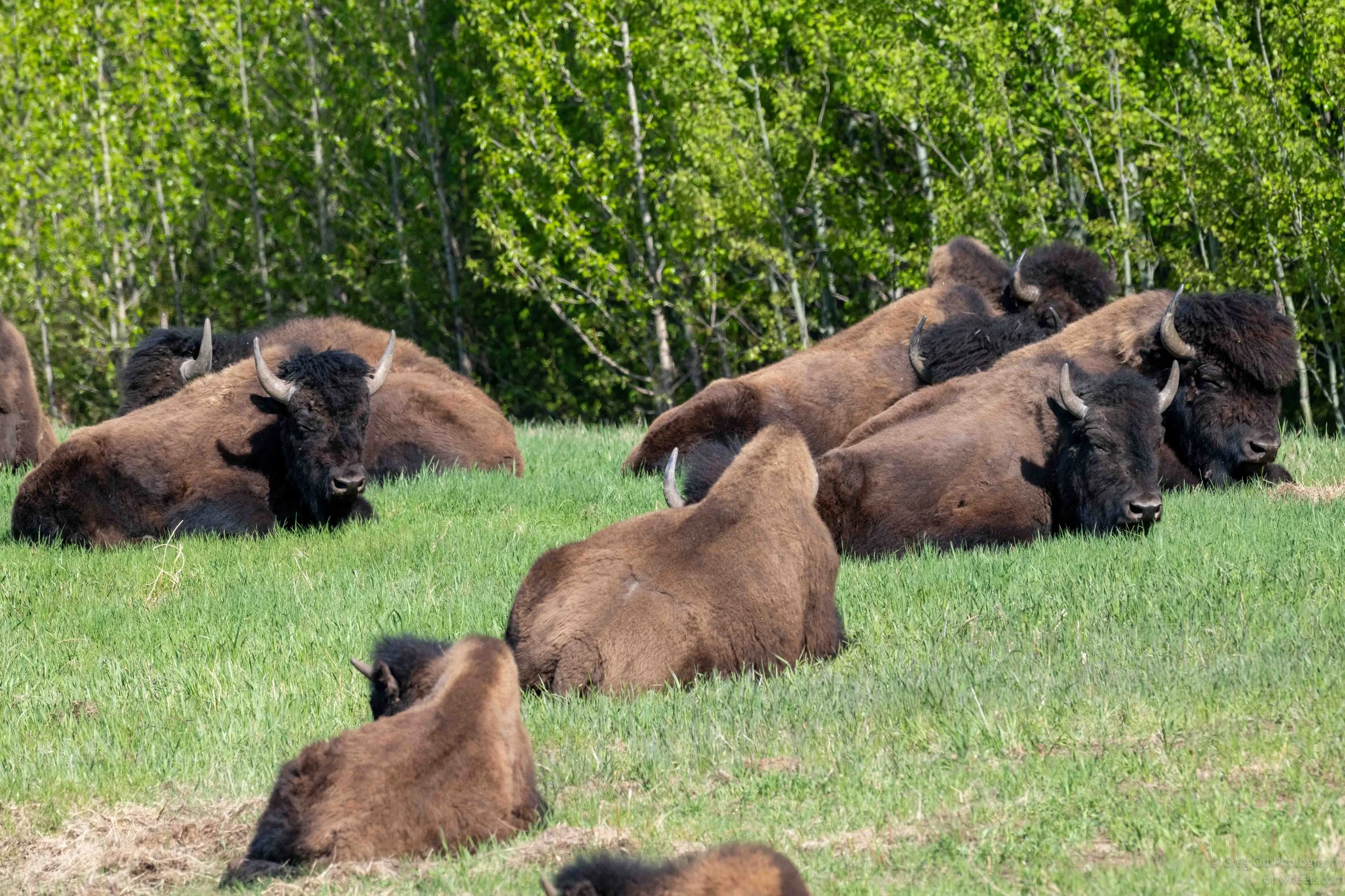
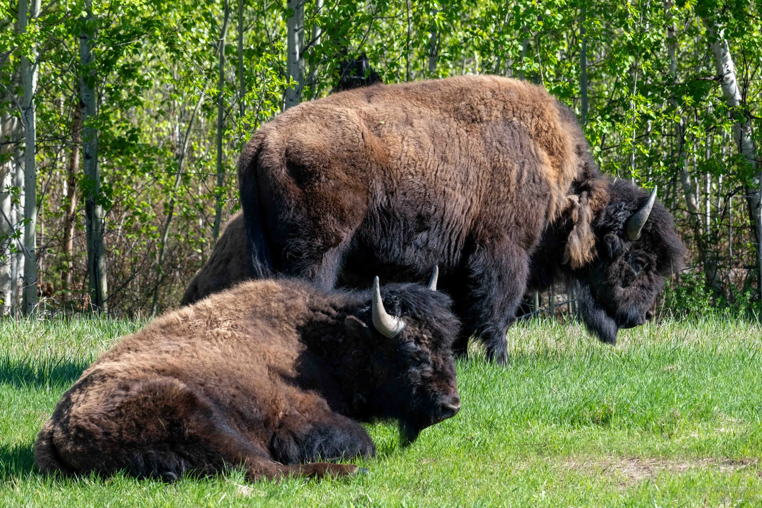
The sound of an RV engine starting nearby woke me around 6 a.m.. I listened as it pulled away down the gravel road, then I rolled over and went back to sleep. Around 8 a.m., I finally got moving myself. About 15 minutes up the highway, I noticed many brown shapes off in the distance along the side of the road. At first they looked like rocks or piles of dirt scattered across the grass, but as I got closer it became obvious what they were. Buffalo. More specifically, wood bison.
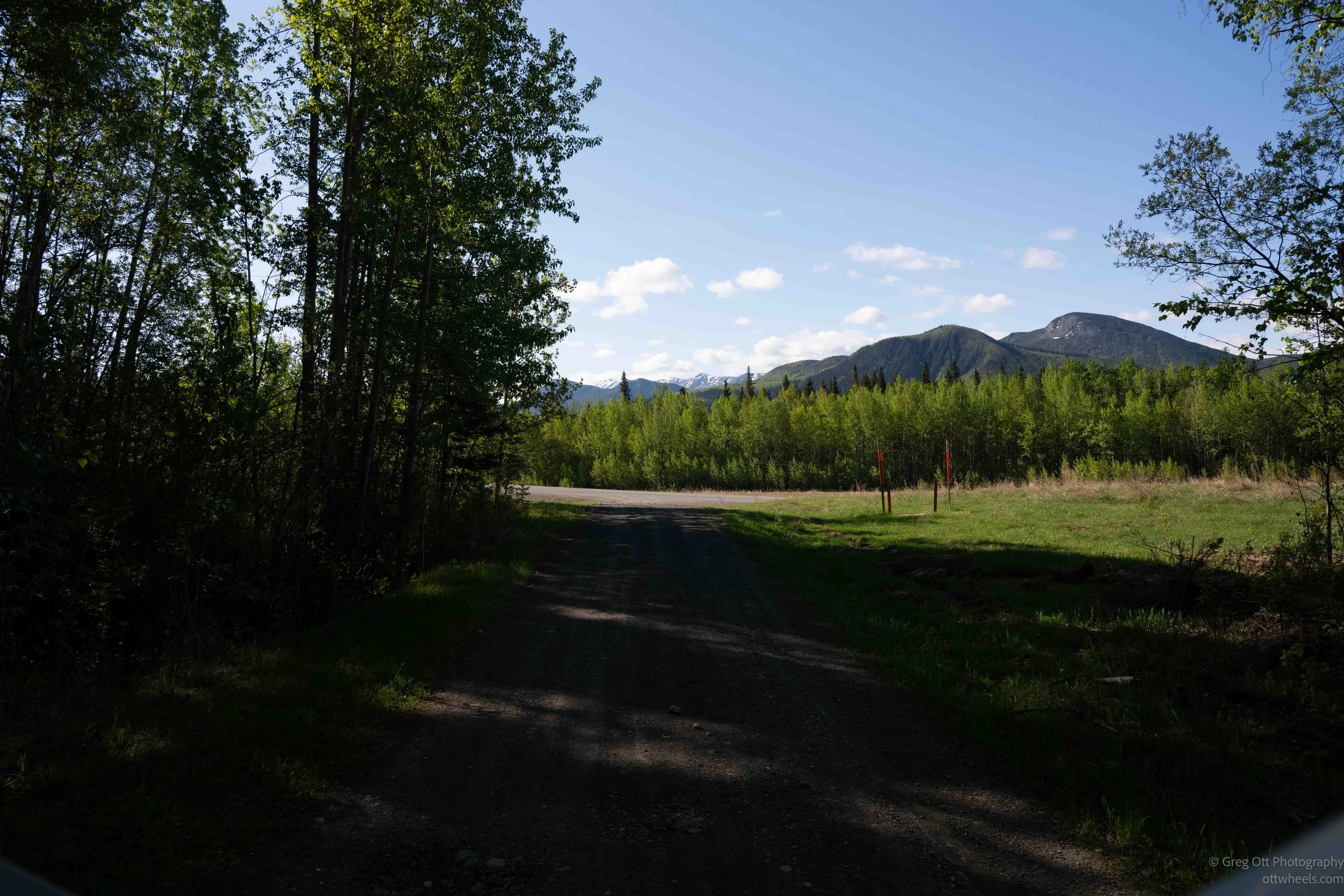
A few days earlier I had stopped and read one of the roadside plaques explaining that this region is home to wood buffalo, a different subspecies than the prairie buffalo I had seen in places like Custer State Park. These animals are larger, darker, and adapted to life in the boreal forest instead of the open plains. Unlike the massive roaming prairie herds people often picture, wood buffalo tend to move in smaller groups and spend long periods resting together. Seeing them lying quietly in the grass instead of constantly moving gave them a completely different feel.
I pulled over immediately and just watched them. There were several calves mixed into the group, tiny compared to the adults and probably only a few weeks old. Some stretched out in the morning sun while others stayed close beside their mothers. After hours of driving through endless forest, suddenly finding this huge group, maybe 40 plus, beside the road felt surreal. They looked completely relaxed, basking in the warmth of the morning as if there was no worry in the world.
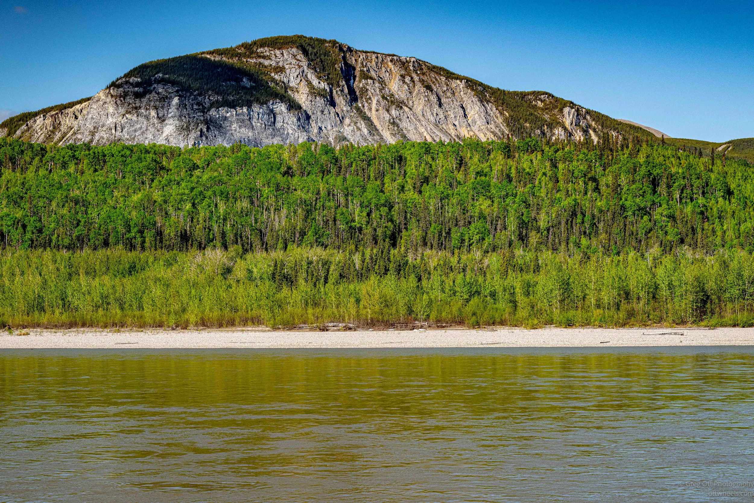
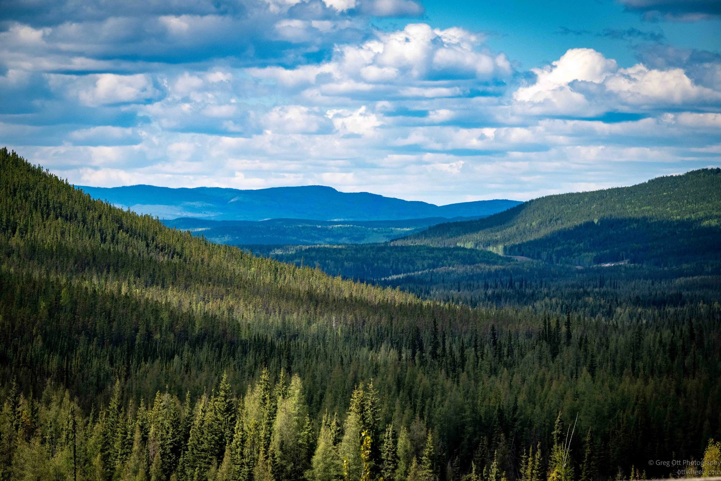
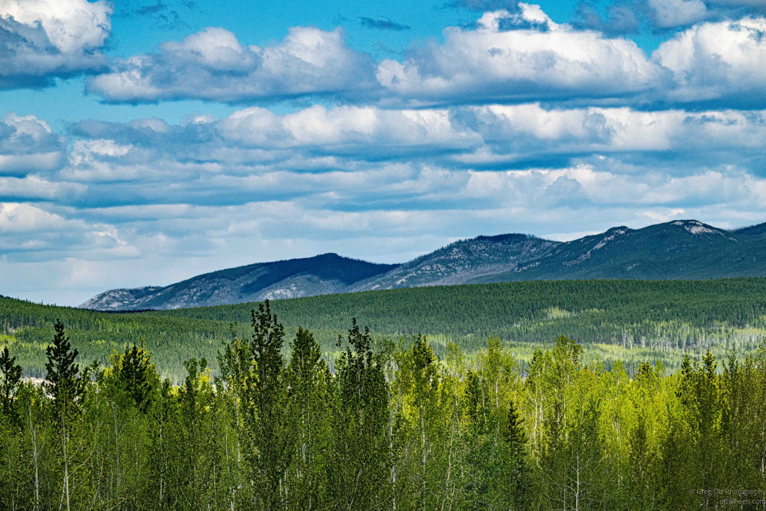
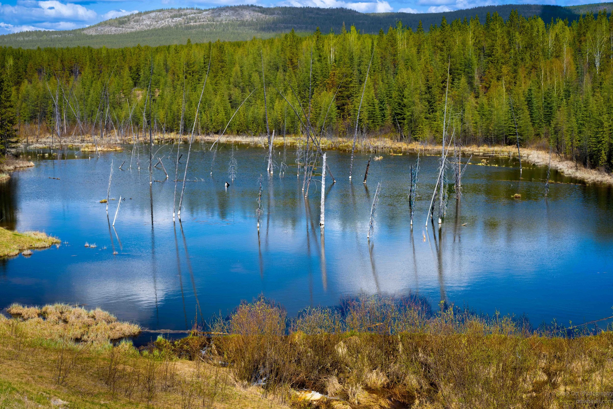
The trip north was long today, but the views never really let me settle into highway hypnosis. The landscape constantly opened into long vistas of rolling forest, distant ridgelines, and pockets of water tucked into the valleys. At times the road climbed just enough to reveal layer after layer of hills fading into the distance. Everywhere I looked there were endless trees stretching to the horizon, broken only occasionally by rocky ridges or small lakes reflecting the sky above.
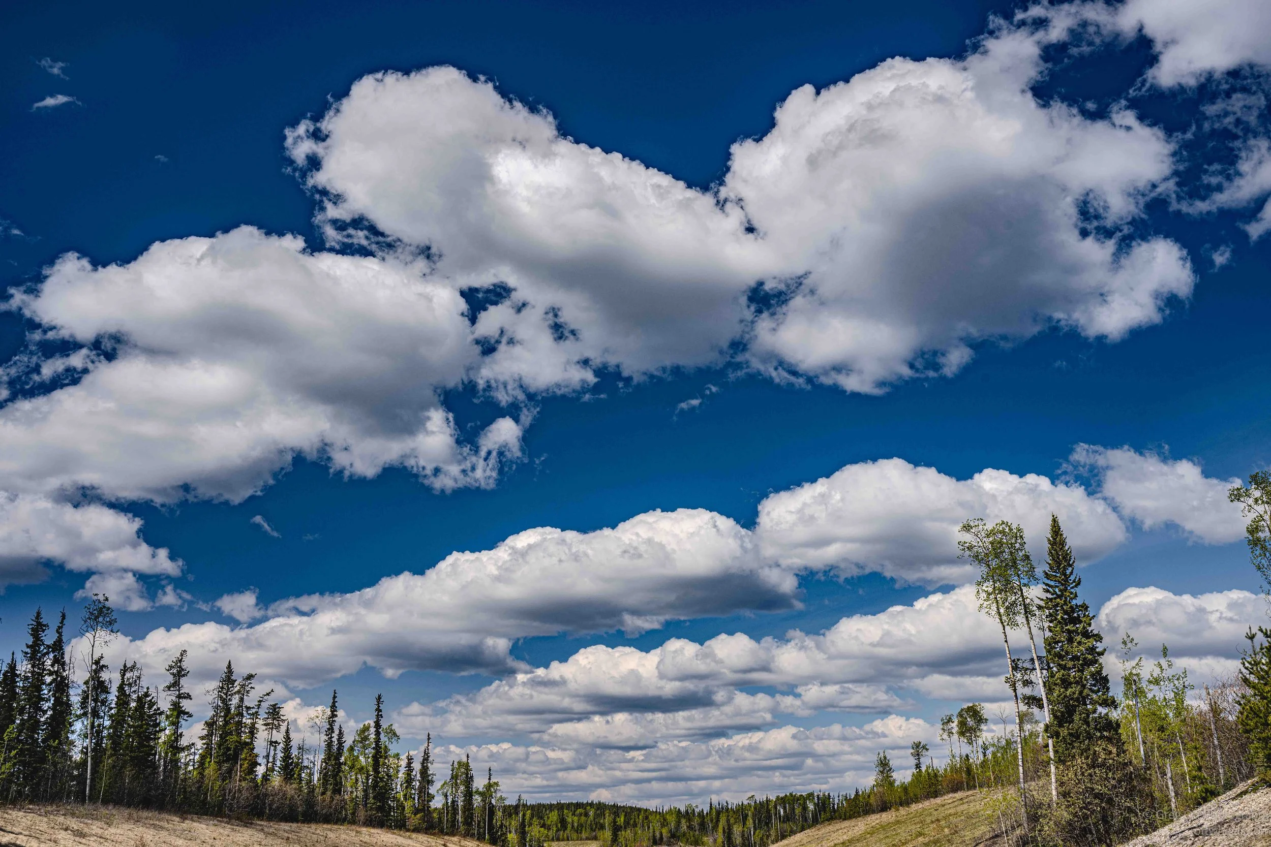
The clouds changed the entire feel of the drive. Large patches of sunlight moved slowly across the forest, lighting up sections of trees while nearby hillsides remained in shadow. Some valleys looked dark and heavy while others suddenly glowed bright green for only a few moments before the light shifted again. Small ponds and marshes reflected the deep blue sky and oversized clouds drifting overhead. It felt like the scenery was constantly rearranging itself as I drove, with every few miles looking slightly different from the last.
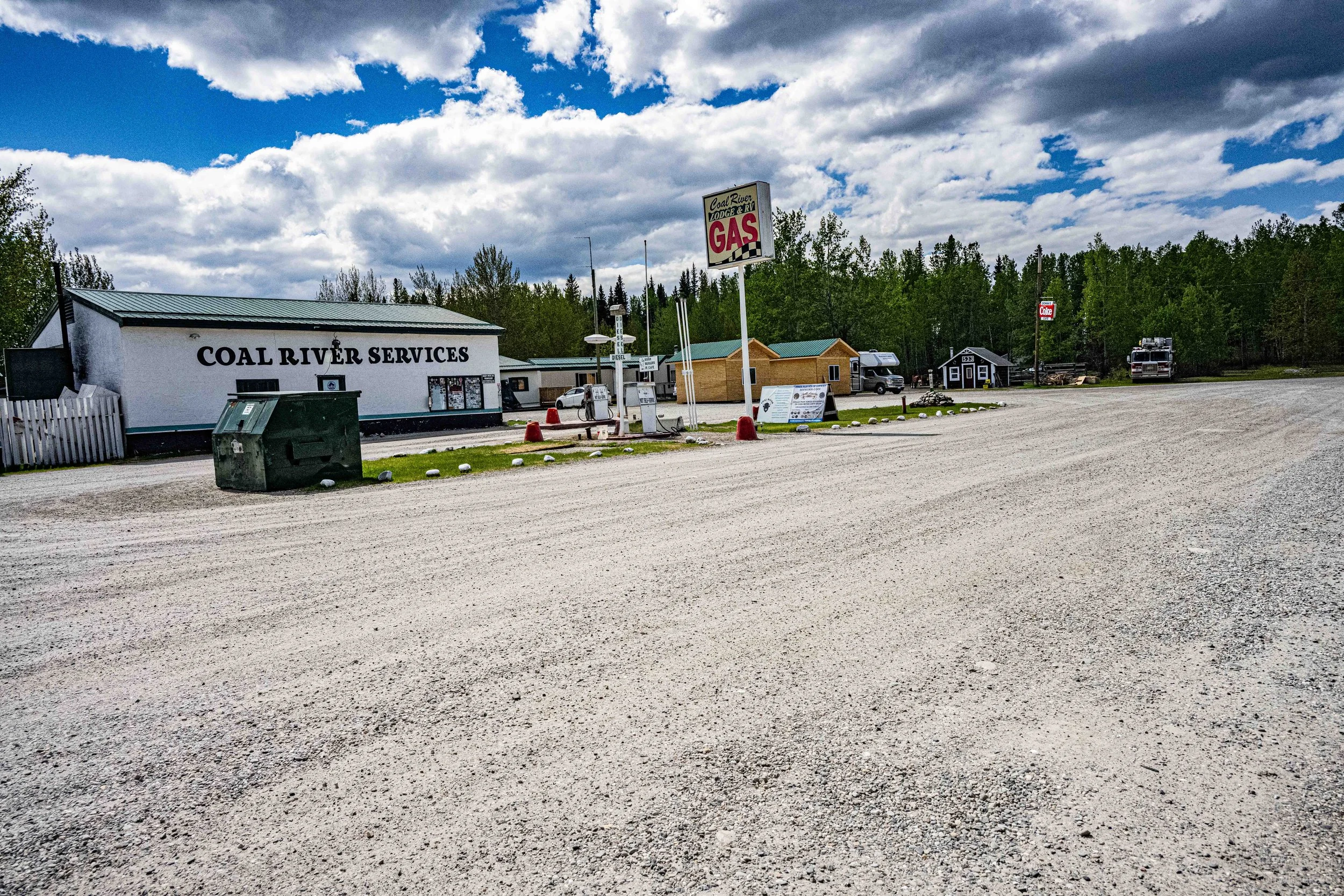
I stopped for gas, which is usually uneventful. My rule is simple: once I hit half a tank, I top up. In Canada, I pretty much stop whenever I see a gas station. I pulled into this station and noticed the pumps said “Not Self-Serve.” The guy beside me was from Alaska and towing a large U-Haul. We started talking while his wife went inside to pay. A woman came out to pump the fuel, asked if I needed regular, and I showed her where the filler was on the van.
I was still talking to the guy when he suddenly started yelling. The tank was full and gas was shooting back out of the filler neck. The nozzle was defective, and she had assumed I wanted it completely topped off. I spent the next 30 minutes cleaning gasoline off the side of the van and trying to air the whole van out.
The guy told me they were moving back to the States because his wife had finally had enough of six weeks of -50° weather every winter. He had been an Air Force pilot in Alaska and still flew privately. I caught up with his wife inside afterward and she told me Alaska was beautiful most of the year, but eventually the brutal cold wears on you. They were heading to Oregon and I wished them well.
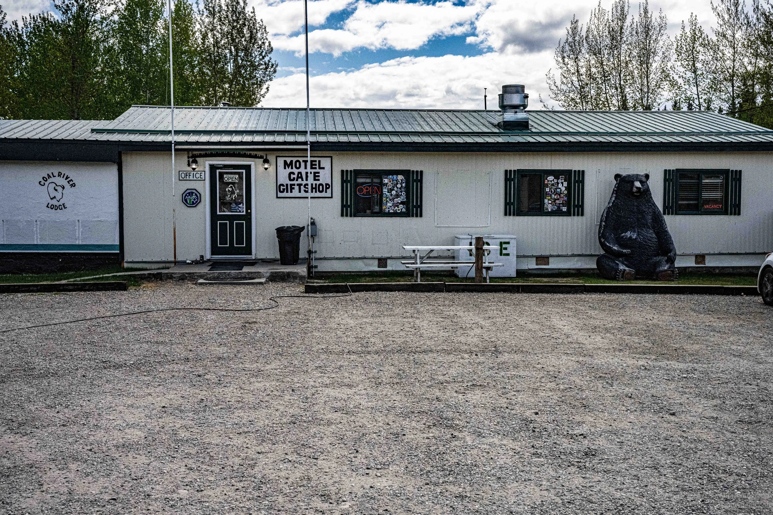
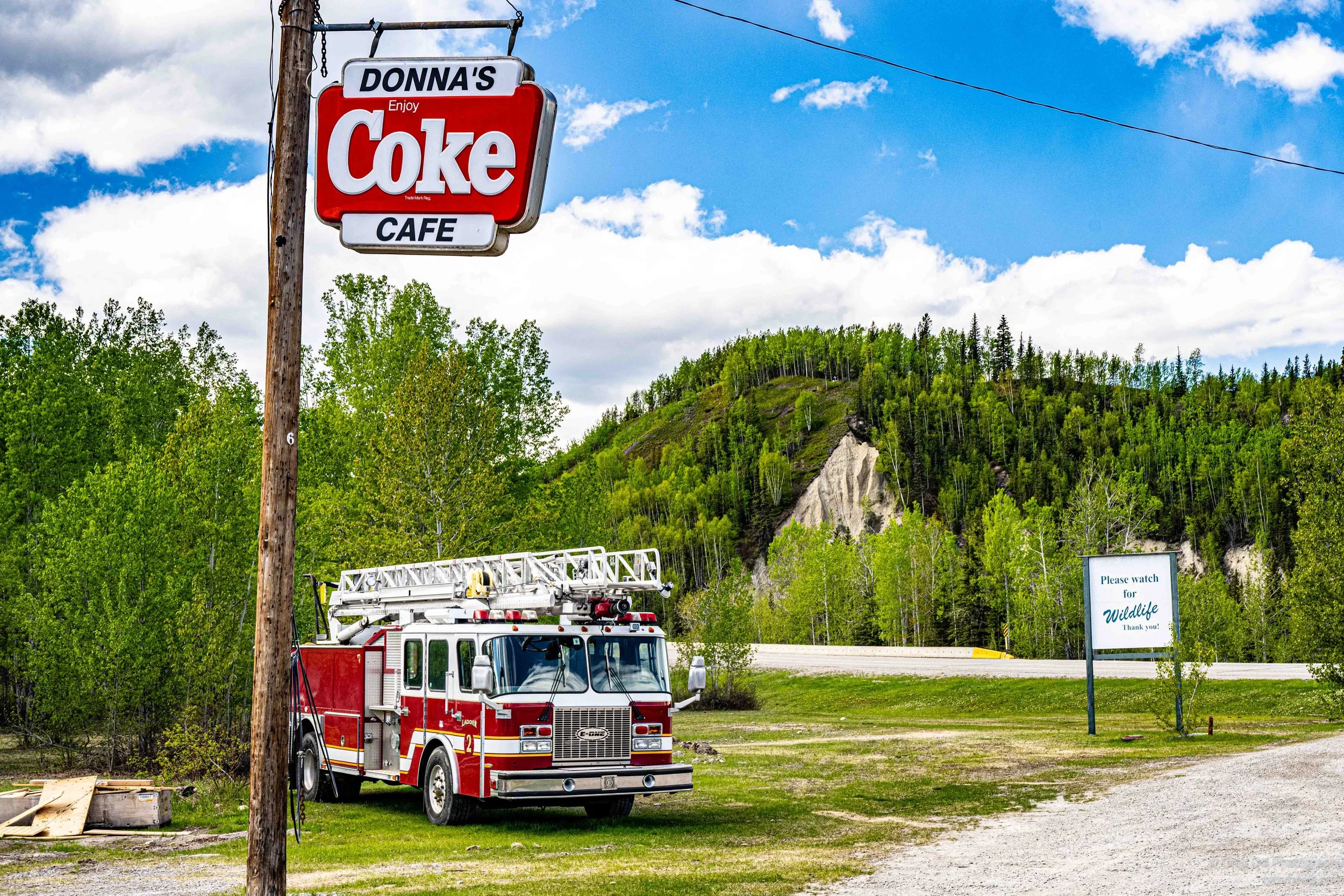
Places like this are usually a combination of businesses designed to pull in as much seasonal traffic as possible during the warmer months. This one was a gas station, maintenance shop, motel, restaurant, campground, catering operation, and unofficial community center all rolled into one.
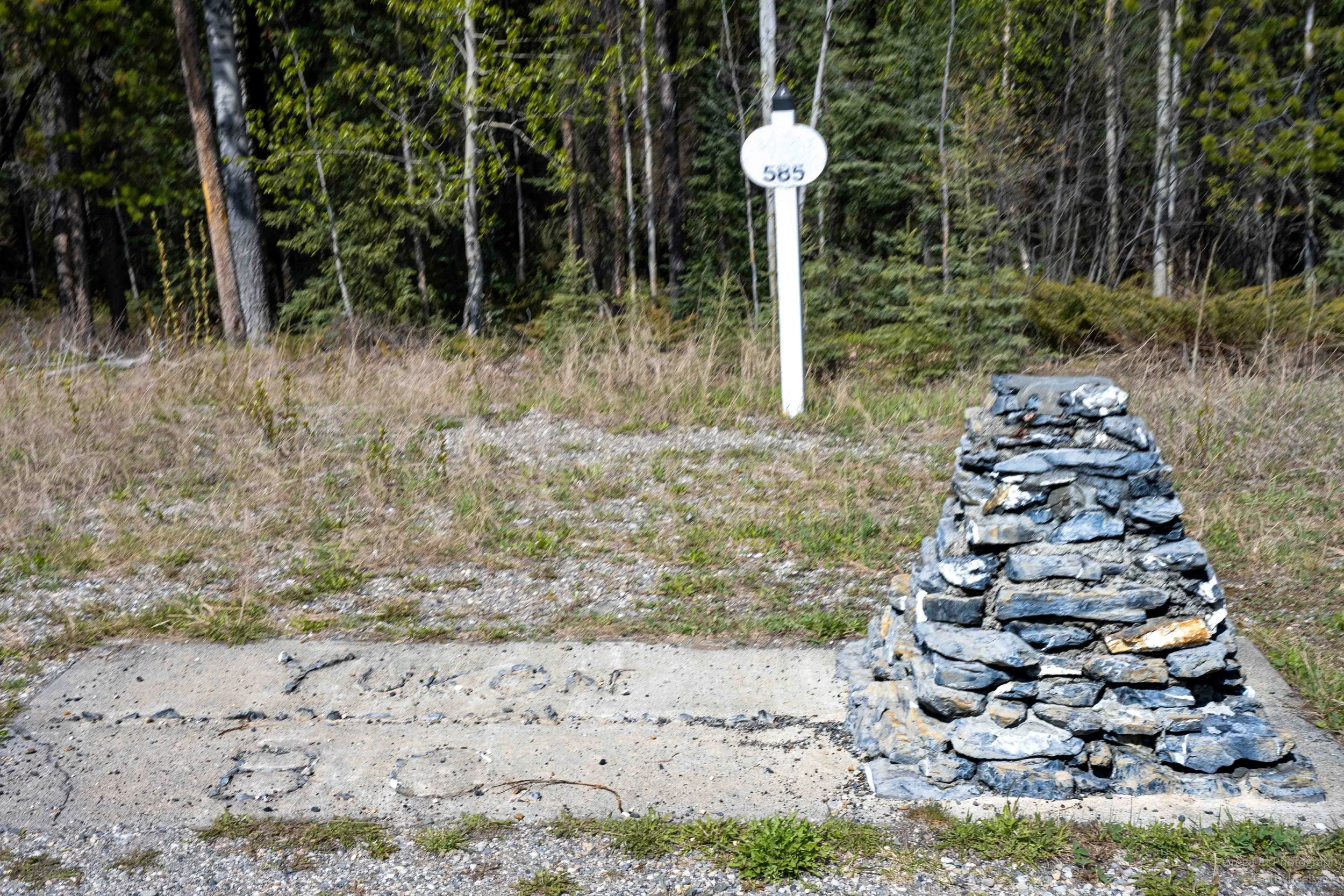
60th Parralel - Lattitude 60’00 N
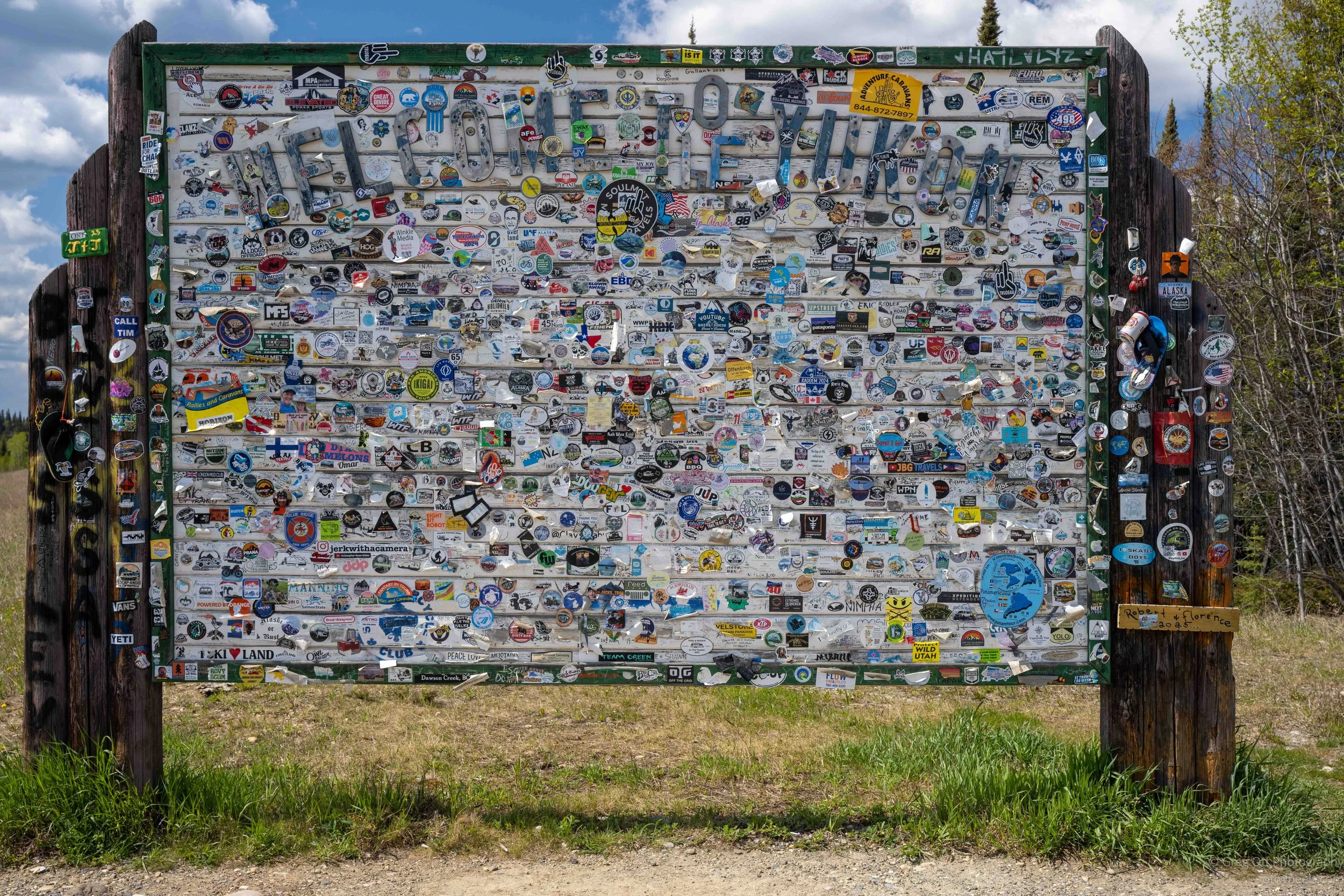
At some point I reached the board between British Columbia and Yukon Territory. There was a historical sign and rest stop. Perfect excuse for an afternoon espreso. During the custruction of the Alaska Highway. marker was placed. At the other end of the rest stop was some type of billboard which had become a huge sticker board. I learned that the 60th Parralel was also the divider for the two provinces.
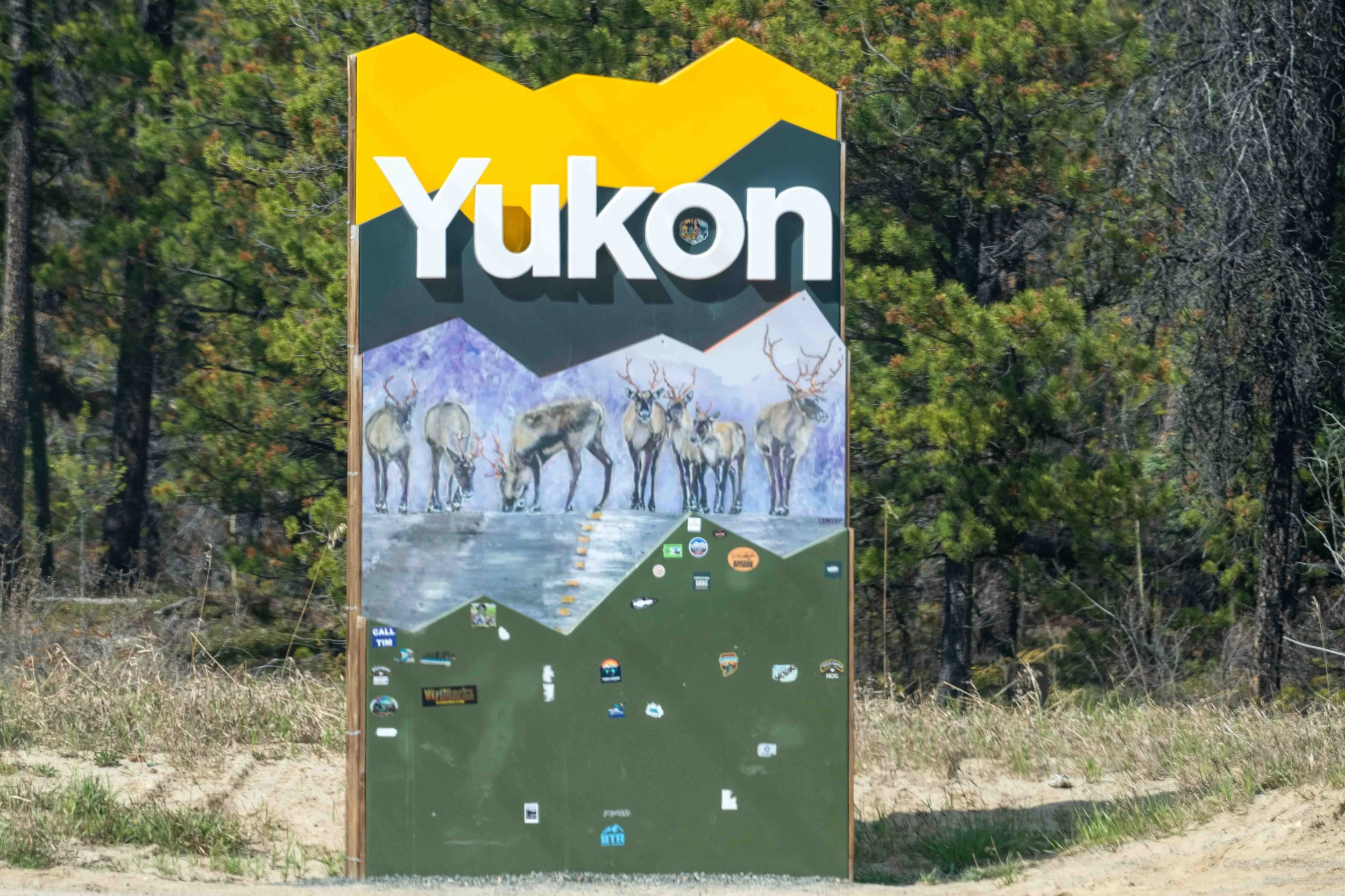
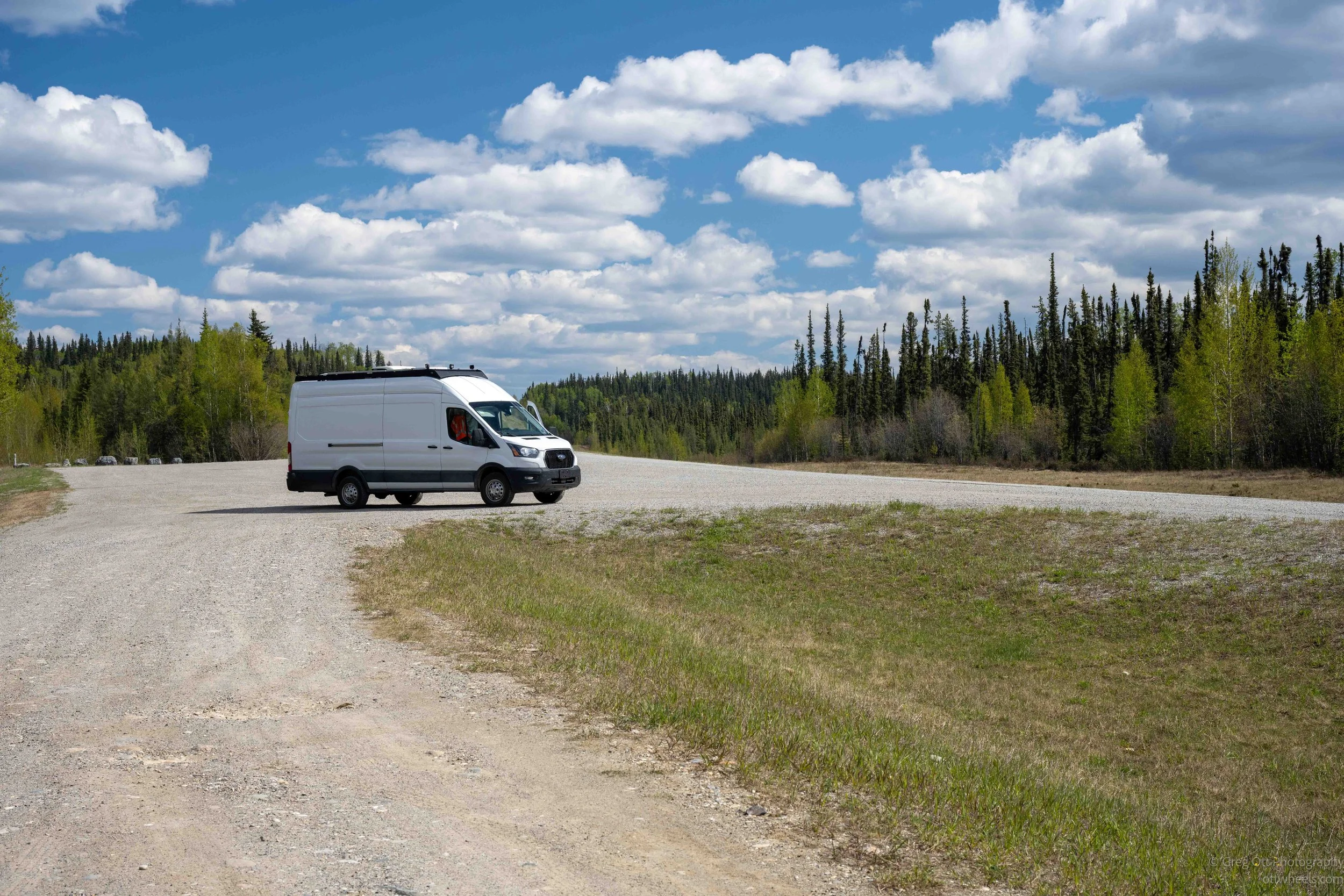
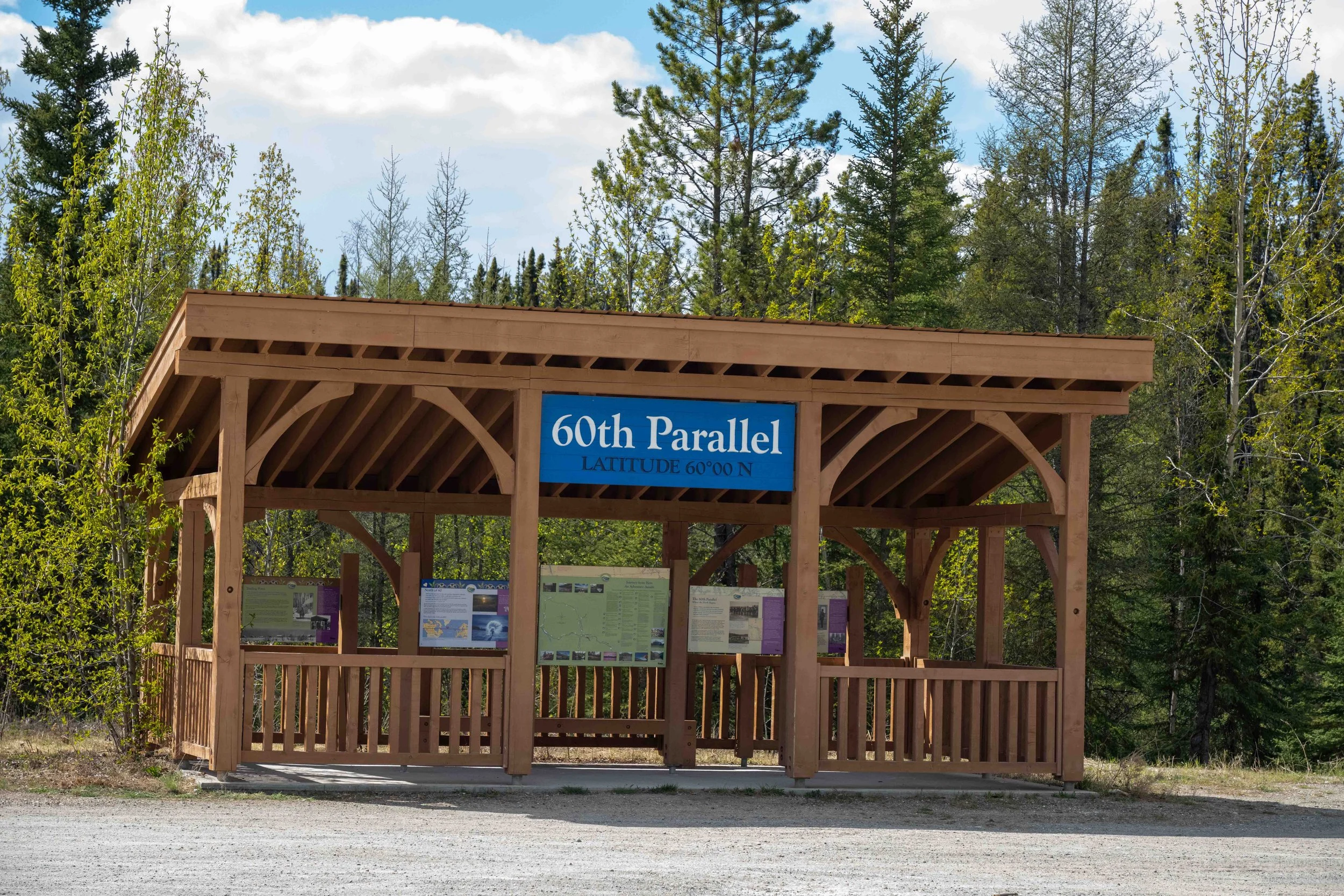
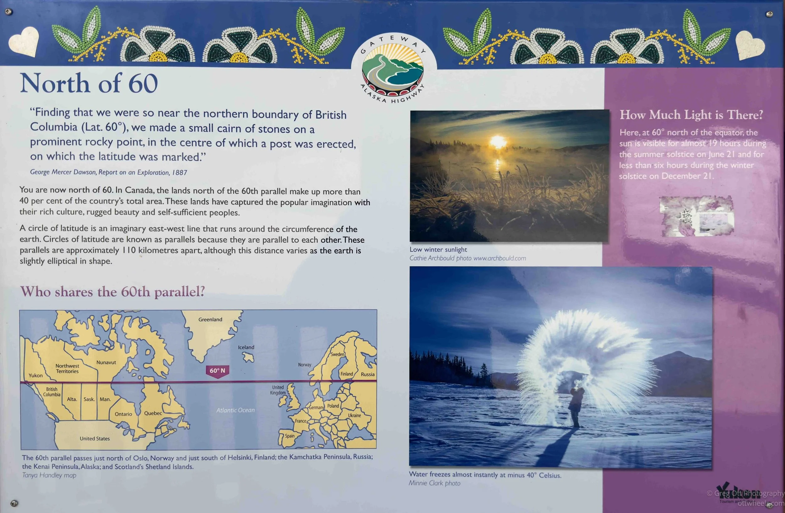
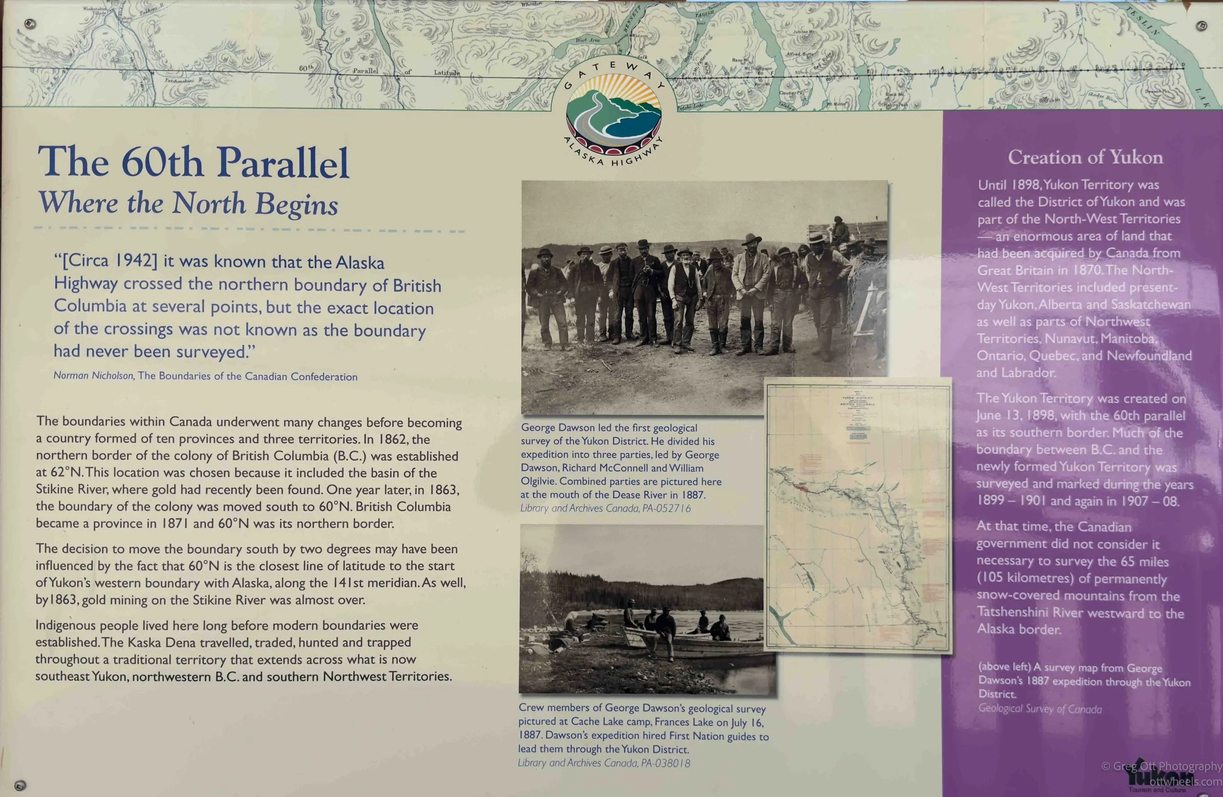
Then I realized the road loops around. Once again, I stopped at the 60th Parallel pavilion for a short break. At first it just looked like another roadside pullout, but the more I read the signs, the more interesting it became. One of the displays explained that once you cross this line, you are entering a region that makes up more than 40 percent of Canada’s land area. Another panel talked about how, during construction of the Alaska Highway in 1942, surveyors knew the road crossed the northern boundary of British Columbia several times, but the exact location had never actually been surveyed. It is strange to think about that now while standing beside a clearly marked tourist stop with parking spaces and interpretive signs.
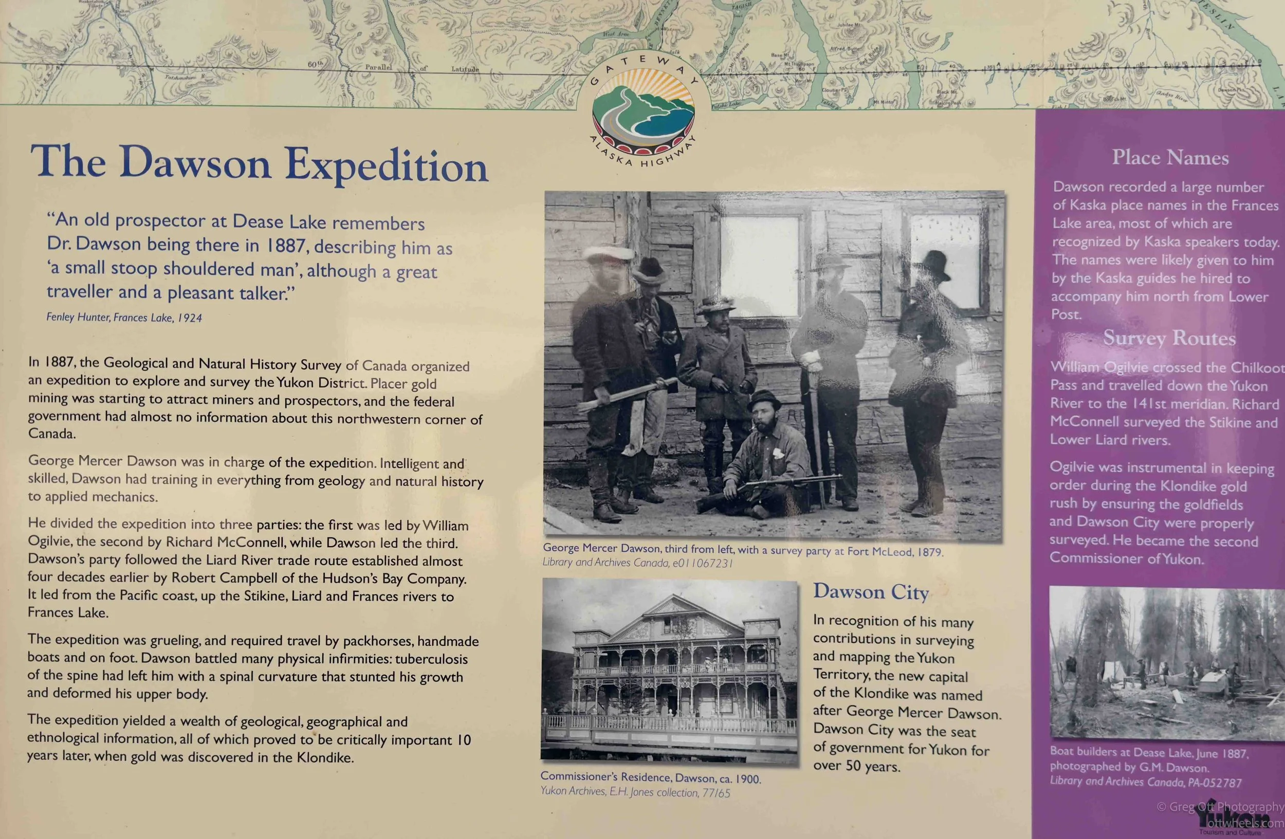
I spent a while reading through the exhibits about George Mercer Dawson and the Dawson Expedition of 1887. Dawson and his crews traveled through this region by packhorse, riverboat, and on foot, mapping huge sections of the Yukon long before the Klondike Gold Rush. There were also displays explaining how extreme the daylight becomes this far north. Near the summer solstice, the sun is visible for almost 19 hours, while winter daylight drops to less than six. I had already started noticing the evenings stretching later and later as I drove north, but seeing it written out like that made it feel more real. The stop itself is easy to miss, but it marks the point where the drive starts to feel less like a road trip and more like entering the North.
Watson Lake Grave Yard
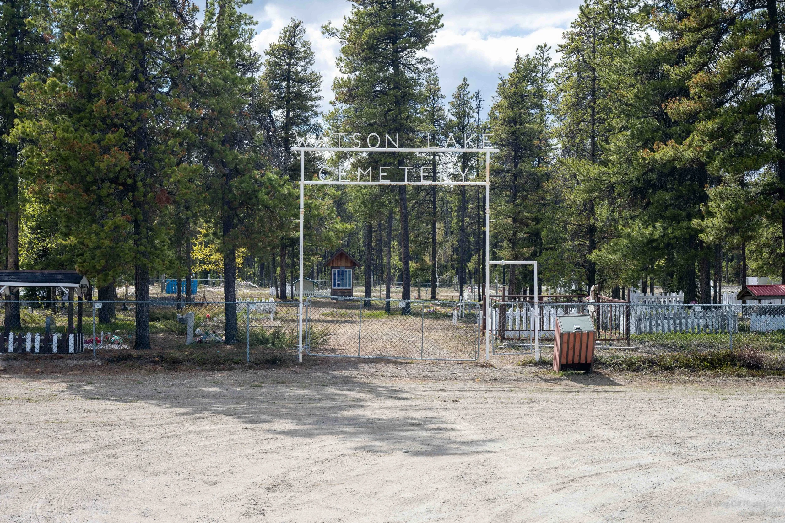
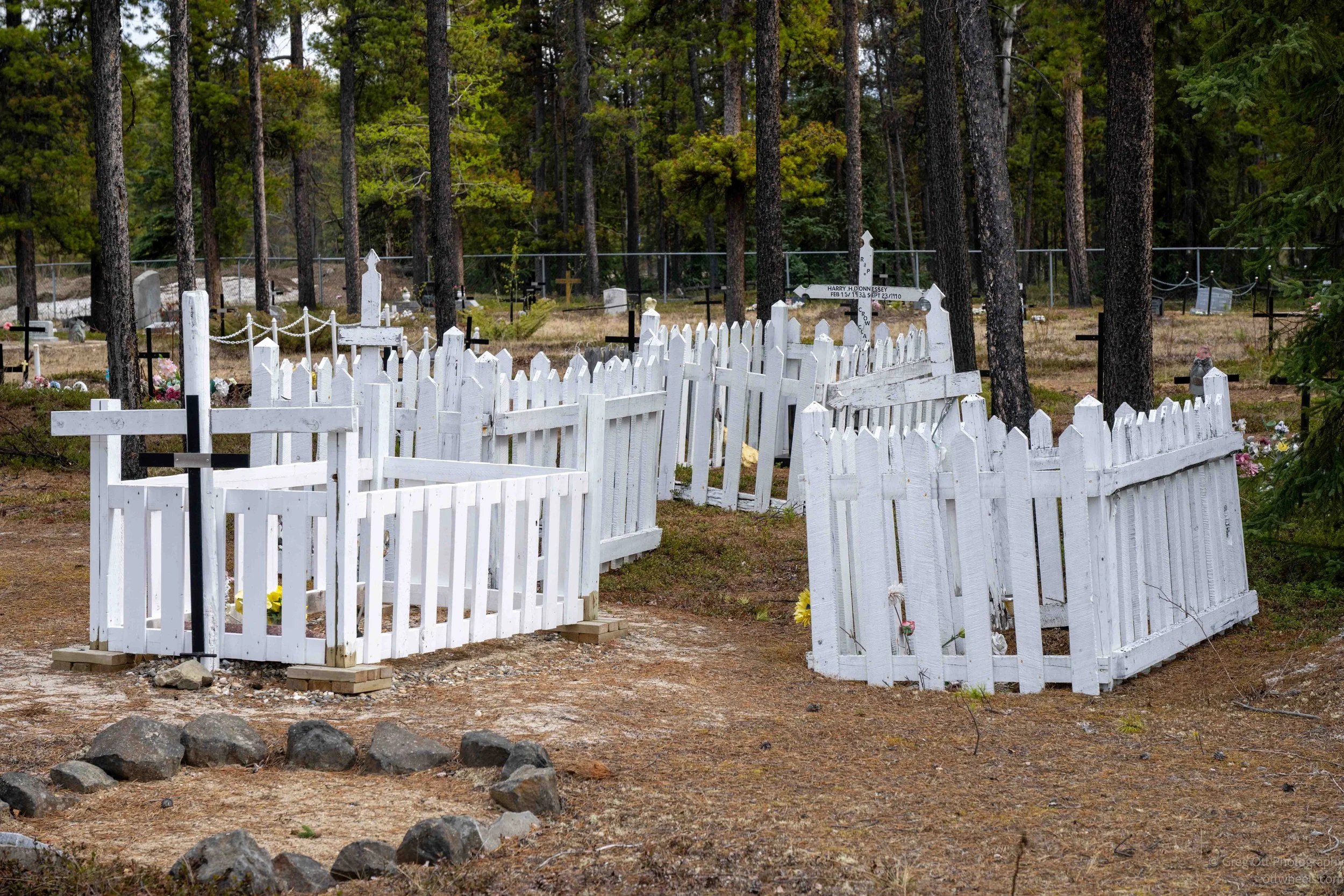
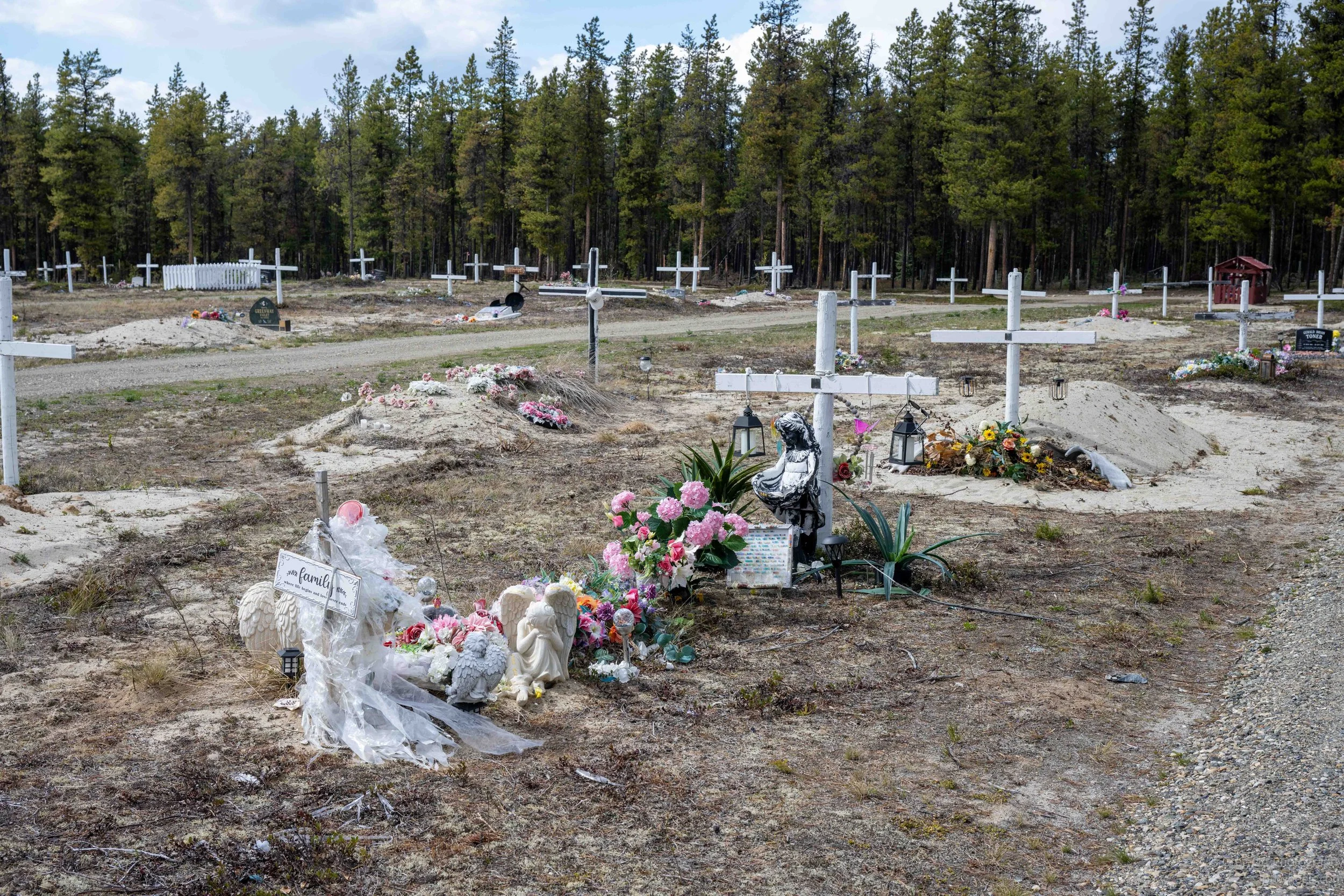
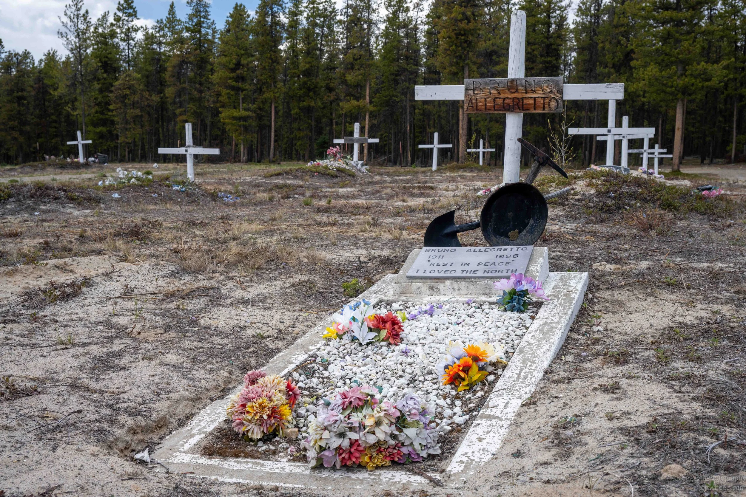
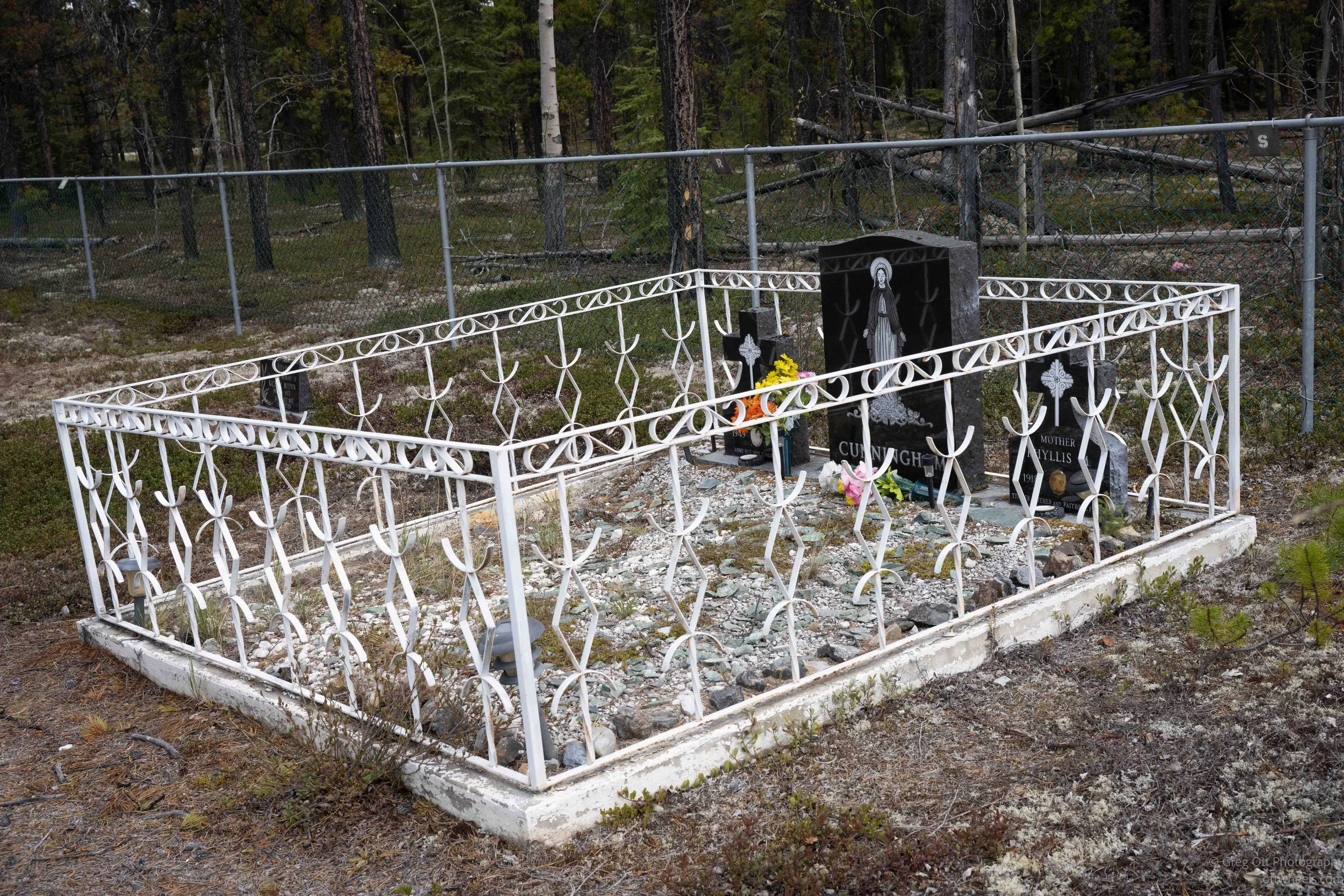
Just up the road from the 60th Parallel pavilion is the Watson Lake cemetery. Graveyards often tell you things about a place that museums and visitor centers never do. I walked slowly through the rows of graves and started noticing how many people had died far too young. Ages 12, 20, 38, and many under 50. There were also couples with the exact same death date, which immediately made me think of car accidents on these isolated northern highways.
Life up here has never been easy. Watson Lake only really began growing during construction of the Alaska Highway in 1942, although the area had long been part of the traditional territory of the Kaska Dena people. Many of the older graves belong to Indigenous families, trappers, highway workers, miners, pilots, and the generations of people who built lives in an environment that can still feel extremely unforgiving today. The cemetery quietly reflects that history in a way statistics and plaques never could.
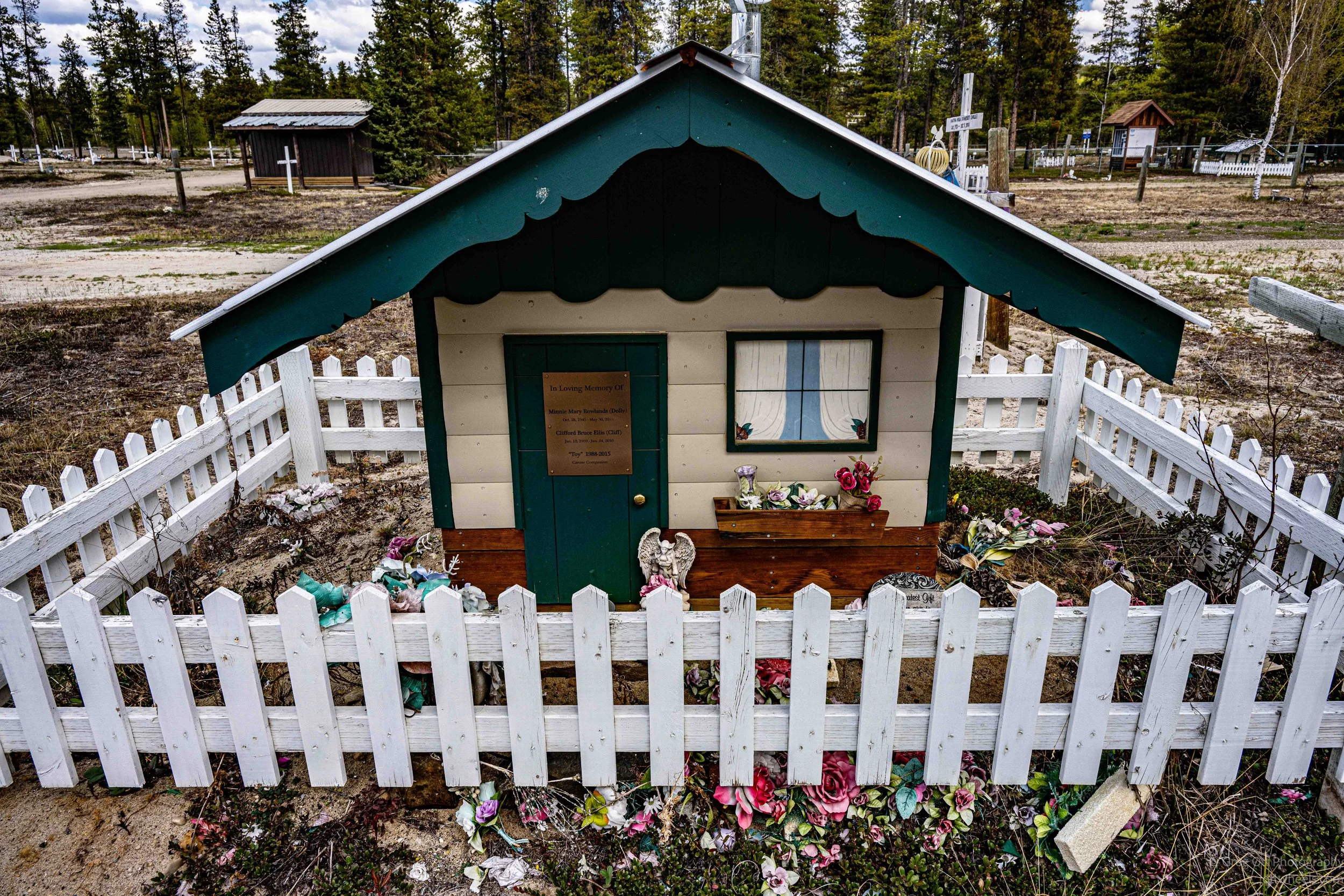
Many of the graves were piled high with mounds of sand and covered with personal objects, decorations, and small wooden structures that I later learned were spirit houses. Some Indigenous cultures across northern Canada and Alaska build these small houses or shelters over graves as part of spiritual traditions connected to honoring and caring for the dead.
I also noticed fences surrounding many of the graves. At first I assumed they were there to keep animals out, but I later learned there is also spiritual meaning tied to some of them. Among many northern Indigenous traditions, the spirit is not always viewed as permanently gone, and gravesites can remain places of continued connection between the living and the dead. Personal belongings, decorations, and offerings may be left behind to comfort or guide the spirit. It is clear the cemetery is still an active and cared-for place rather than simply a historic burial ground. I tried to find some writings on traditional beliefs on death and dying.
Near the back were large piles of snow pushed back along the tree line, which meant somebody keeps the roads and paths open during the winter. Considering Watson Lake can see temperatures approaching -50° and long periods of deep winter darkness, maintaining a cemetery here is not a small task. Even in late spring there were still remnants of snow sitting in the shadows along the forest edge. Standing there, it felt like a place shaped as much by survival and memory as by death itself.

Signpost Forest
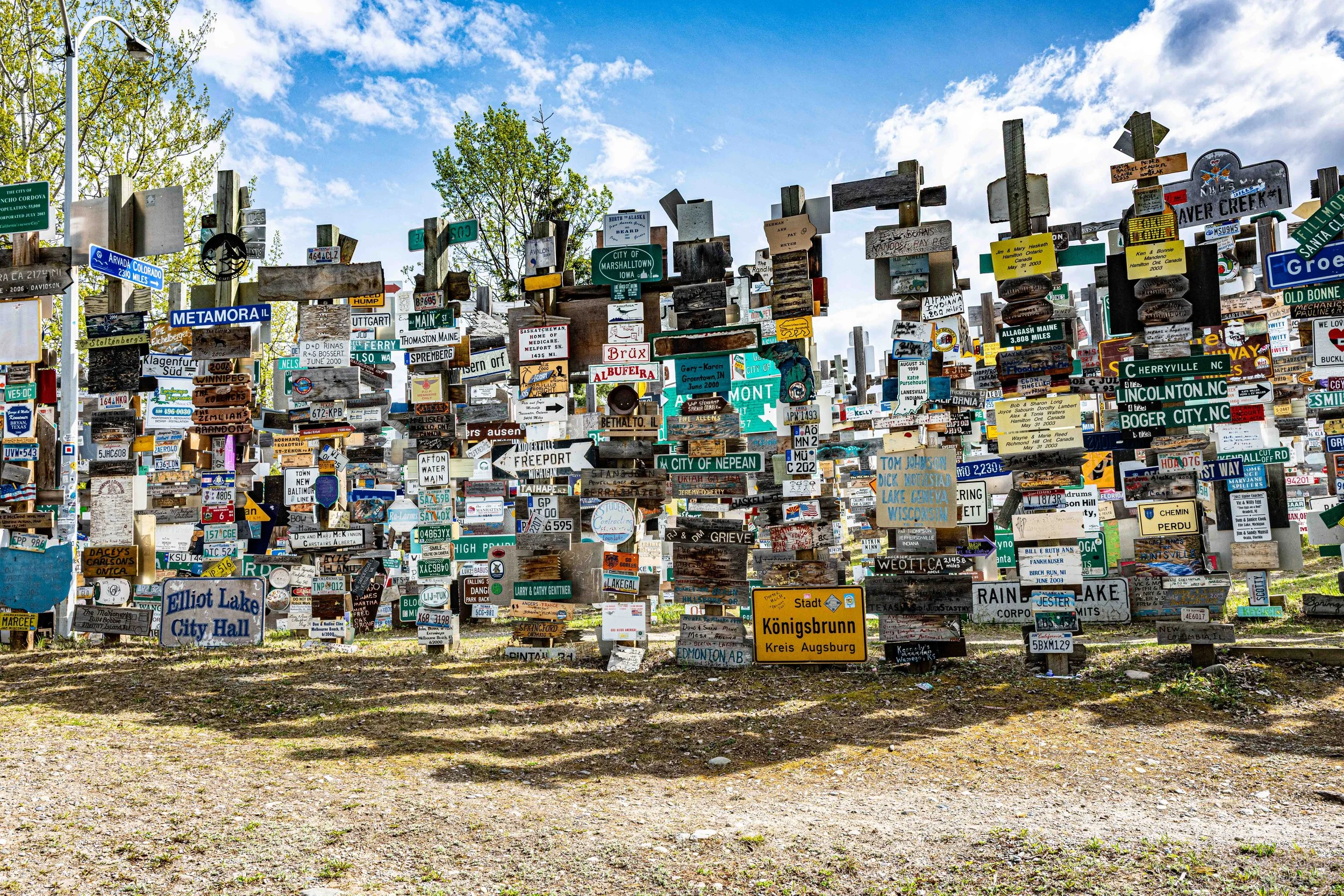
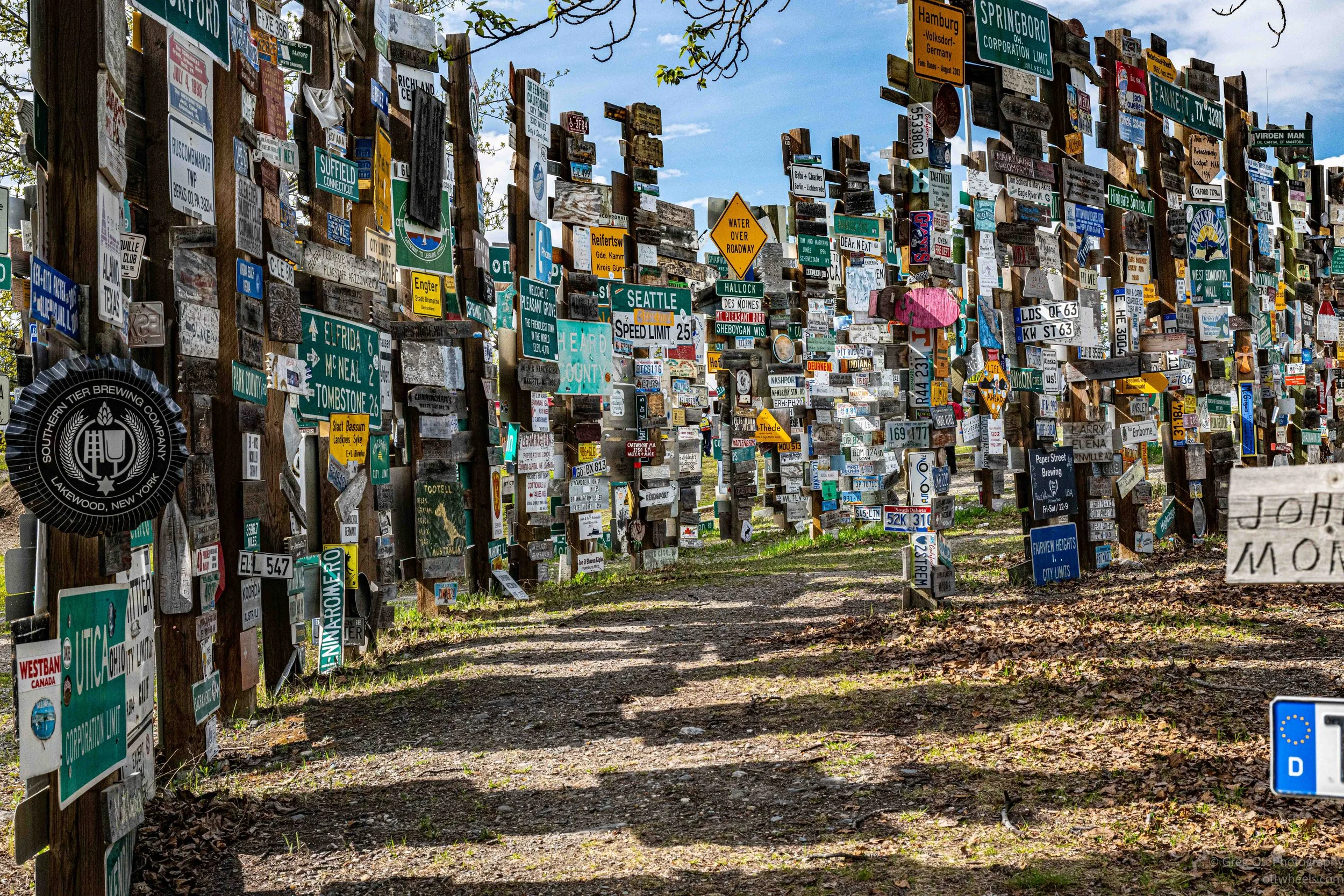
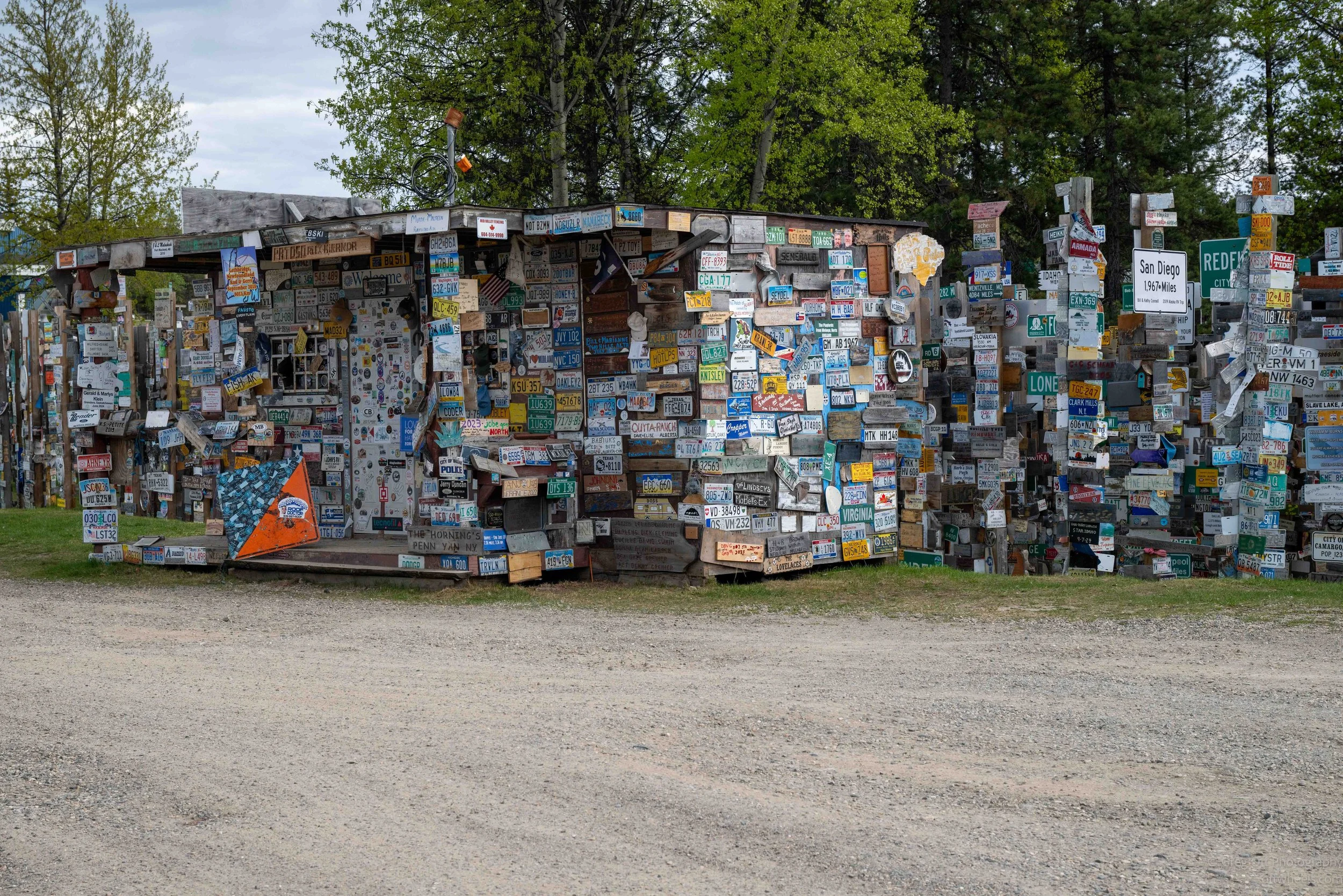
I made it to the Sign Post Forest in Watson Lake without really knowing much about it. It was simply marked as something interesting along the Alaska Highway, so I figured I would stop. What I found was far larger and stranger than I expected. Thousands upon thousands of signs stretched in every direction, mounted so tightly together that it almost felt like walking through a maze.
The whole thing started during construction of the Alaska Highway in 1942. One of the workers, a U.S. Army soldier named Carl K. Lindley, had been injured and was recovering in Watson Lake. While repairing a damaged signpost pointing toward his hometown of Danville, Illinois, he added a sign for his own town. Other workers started doing the same thing, and somehow it never stopped. The original signpost is long gone, but the idea kept growing year after year.
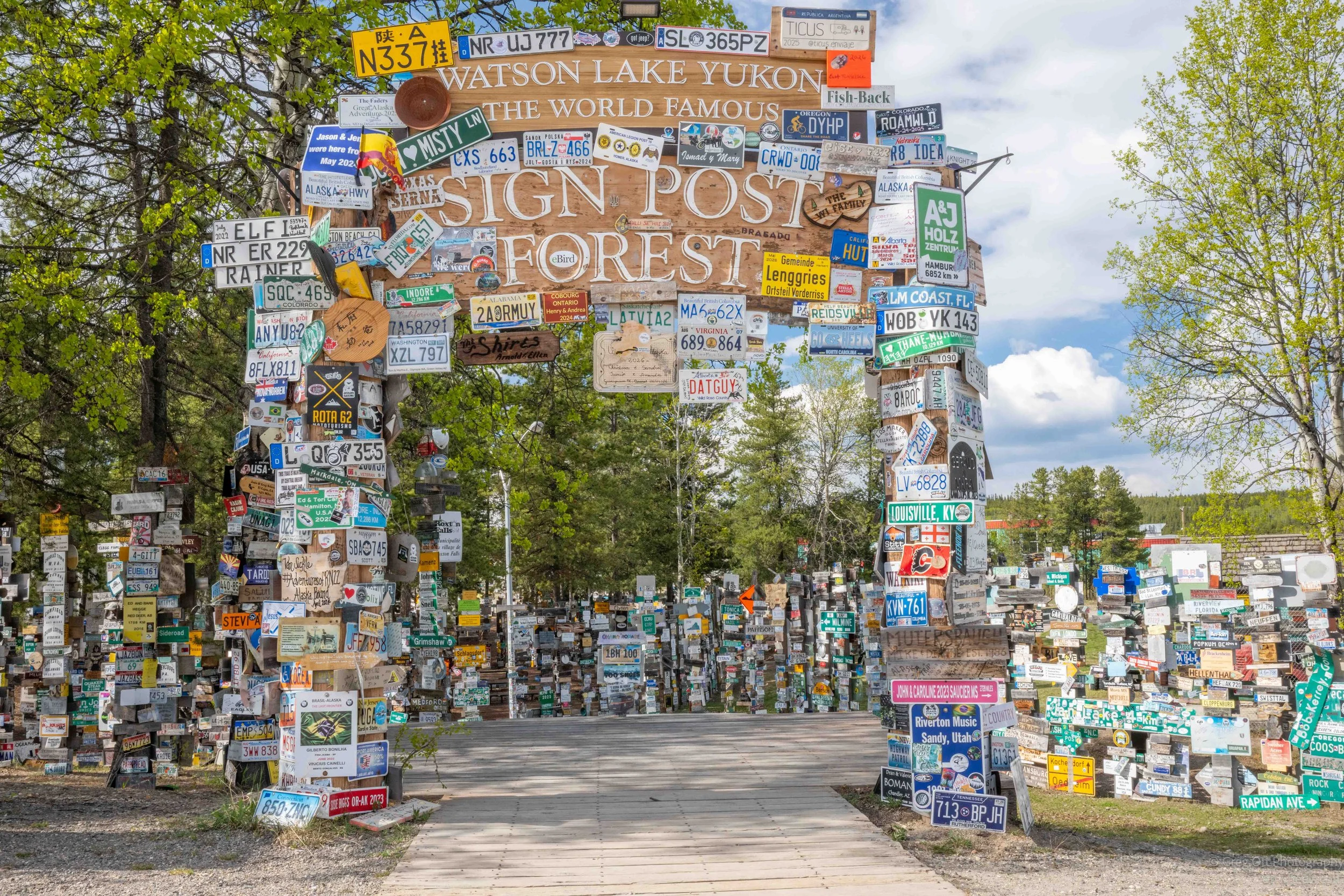
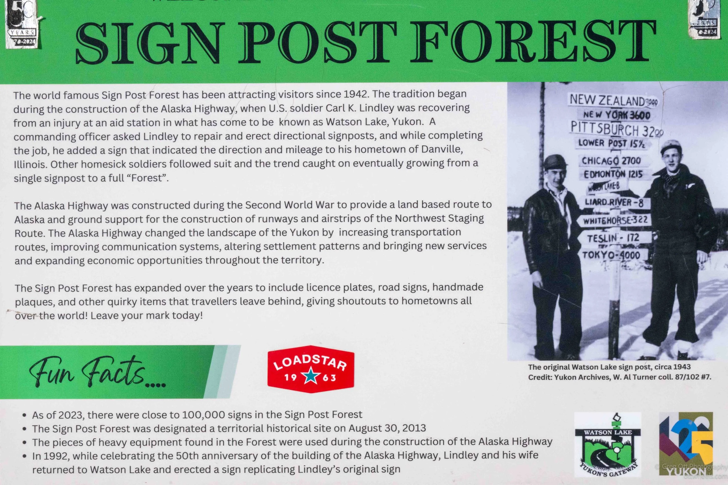

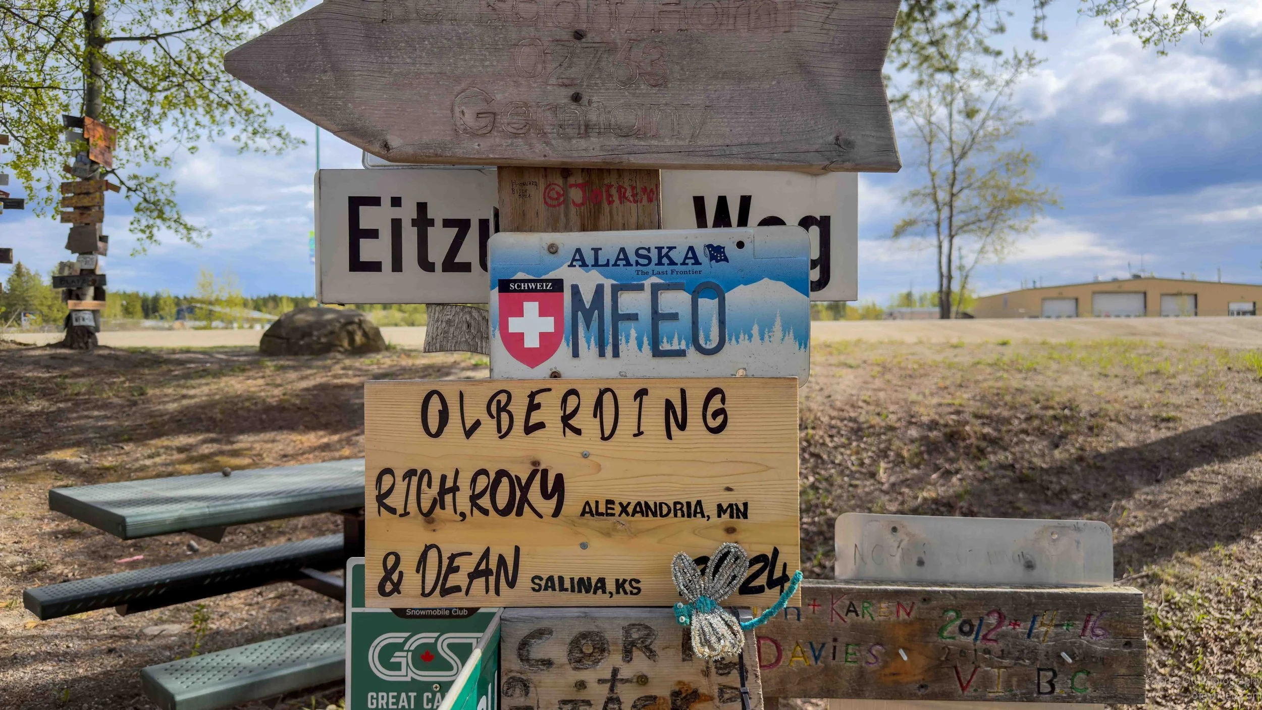
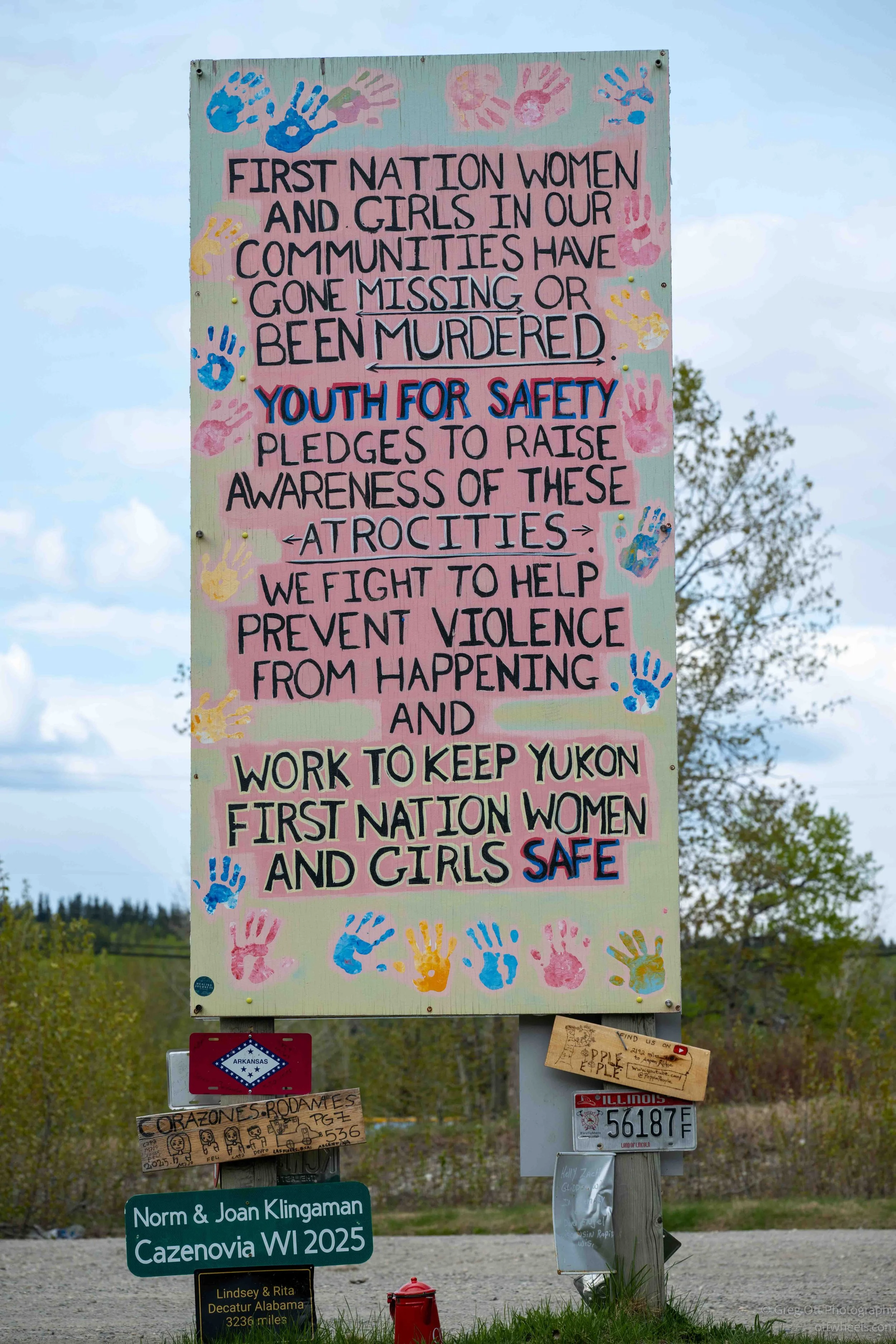
At the visitor center across the street, I learned the town still actively manages the site. Every year new poles are added because there is simply no room left on many of the existing ones. Someone actually counts the signs annually, and the total is now well over 100,000.
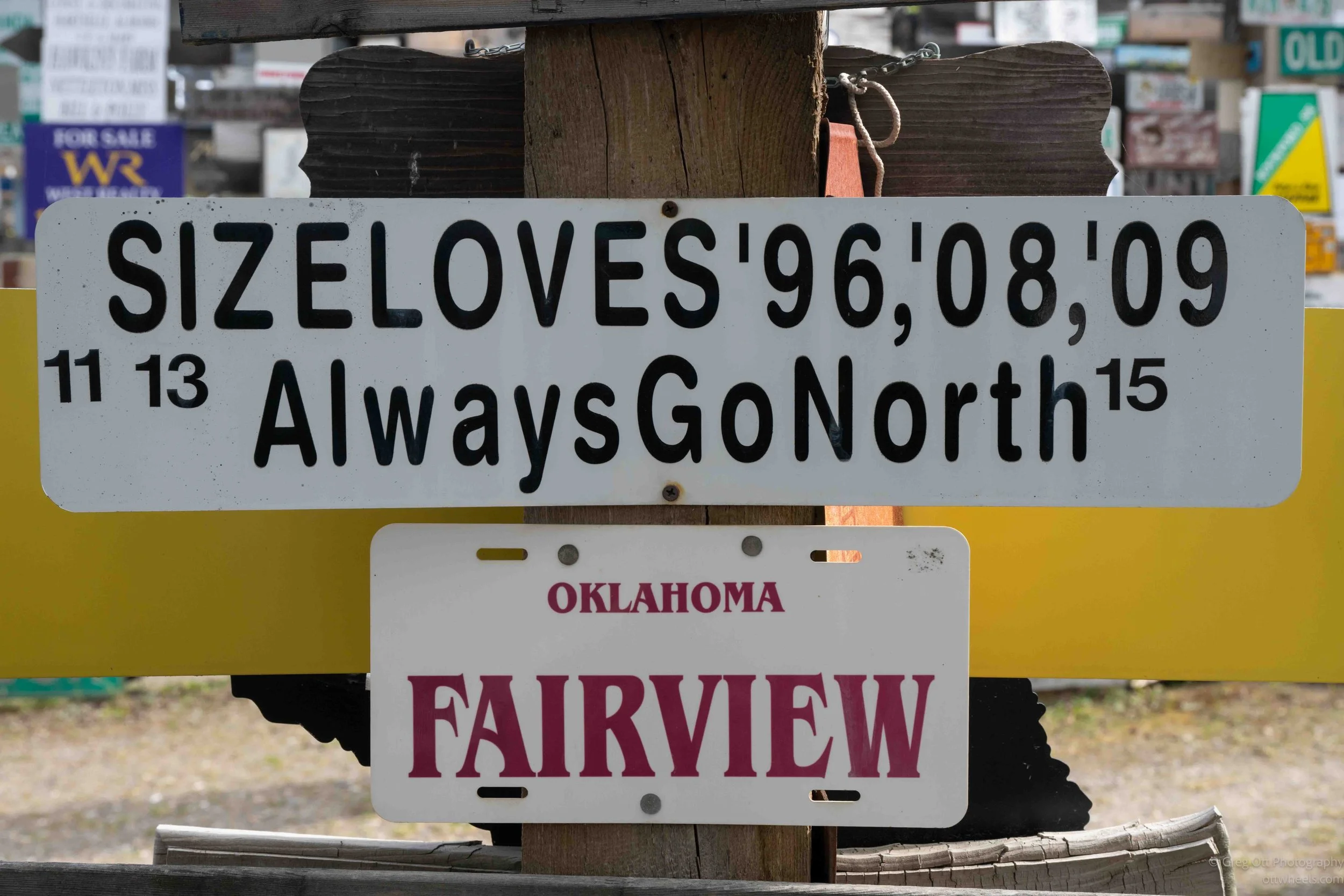
Like almost everybody else walking through the forest, I started looking for places connected to my own life. Pennsylvania. Connecticut. Switzerland. I never did find a Connecticut plate, which surprised me, but I did come across a large sign from Ebensburg, Pennsylvania, near where I grew up. I also noticed an unexpected number of German license plates scattered throughout the forest.
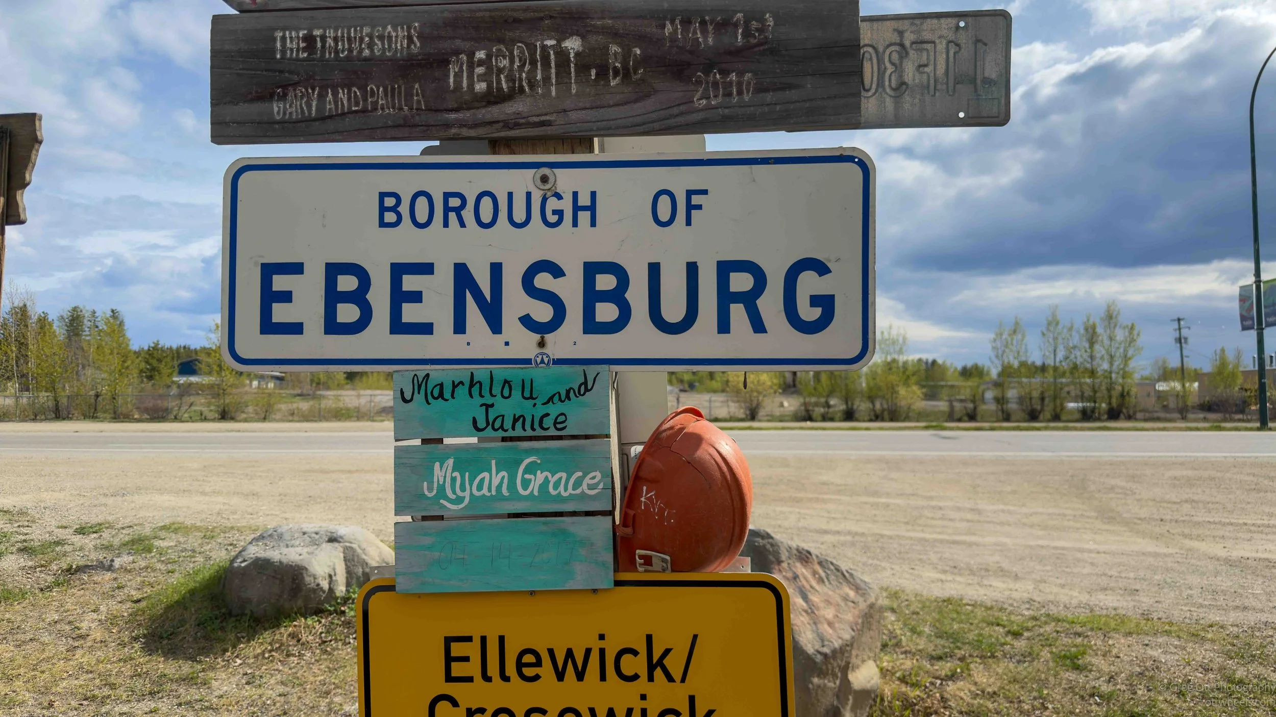
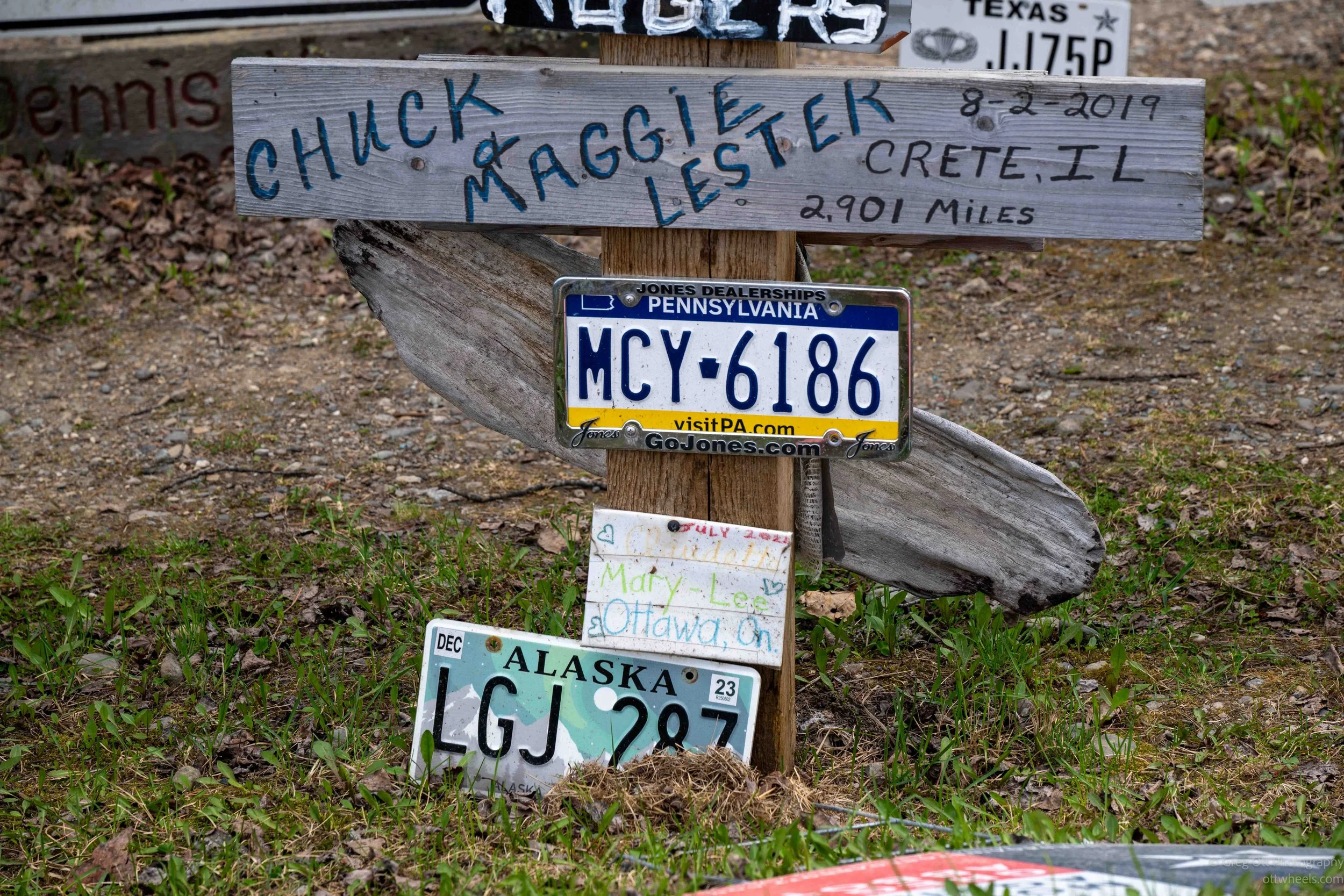
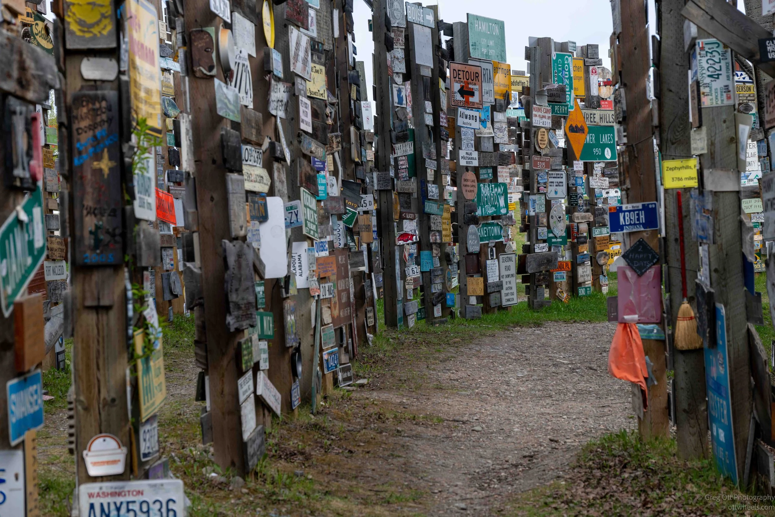
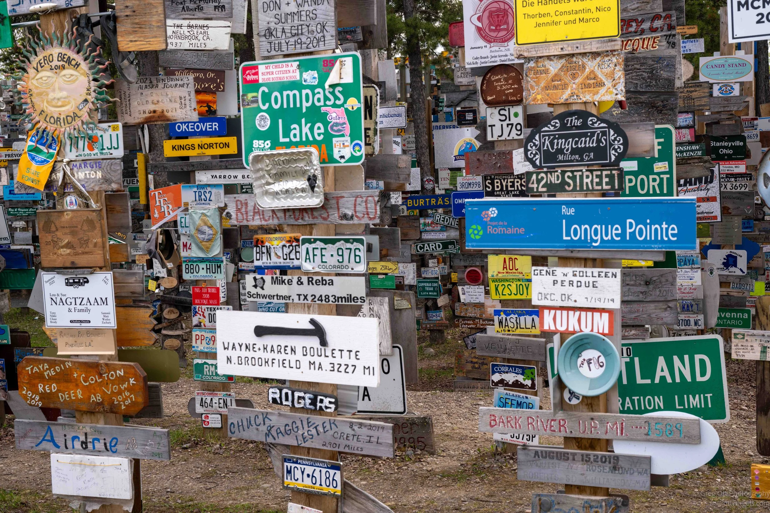
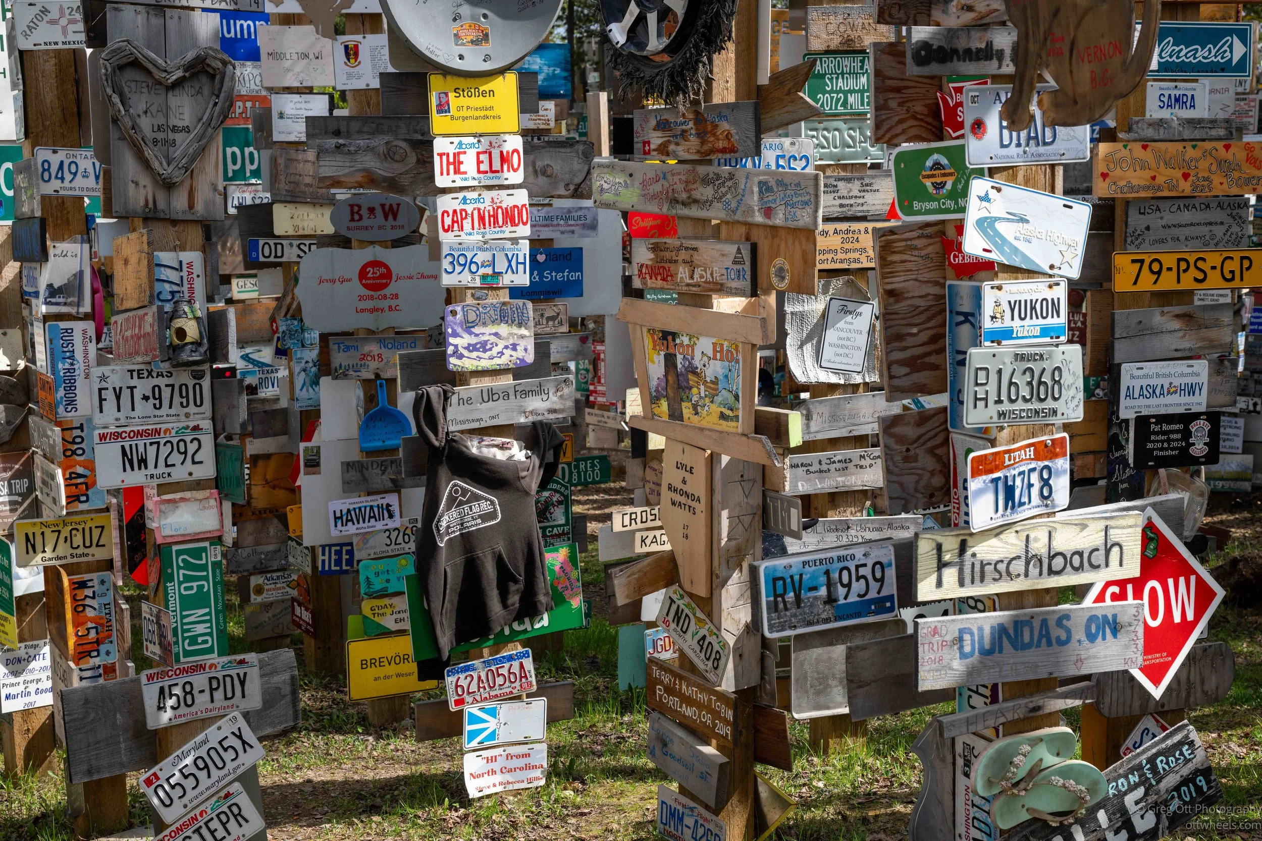
Some people spent maybe two minutes there, took a photo at the entrance sign, and left. Others wandered slowly through the rows for quite a while. One family had turned it into a game, with the mother encouraging her daughter to search for signs from their home state. A few minutes later I heard the little girl yell from somewhere in the distance, “I found one!” It immediately brought me back to the road trip games we played as kids staring out the windows for hours, also counting signs.
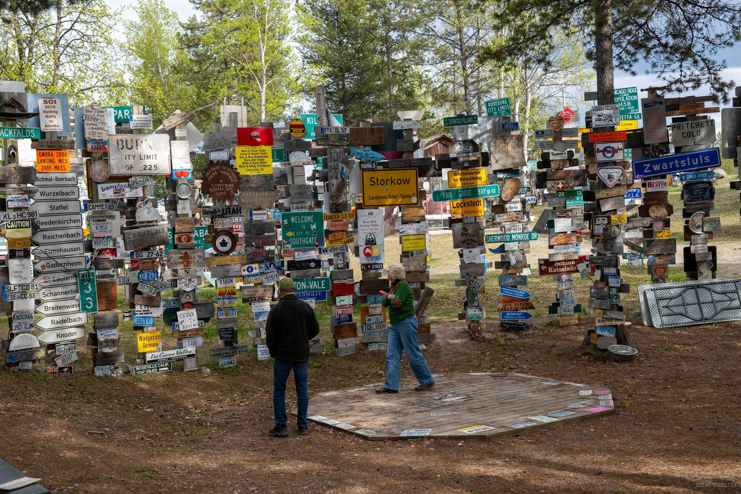
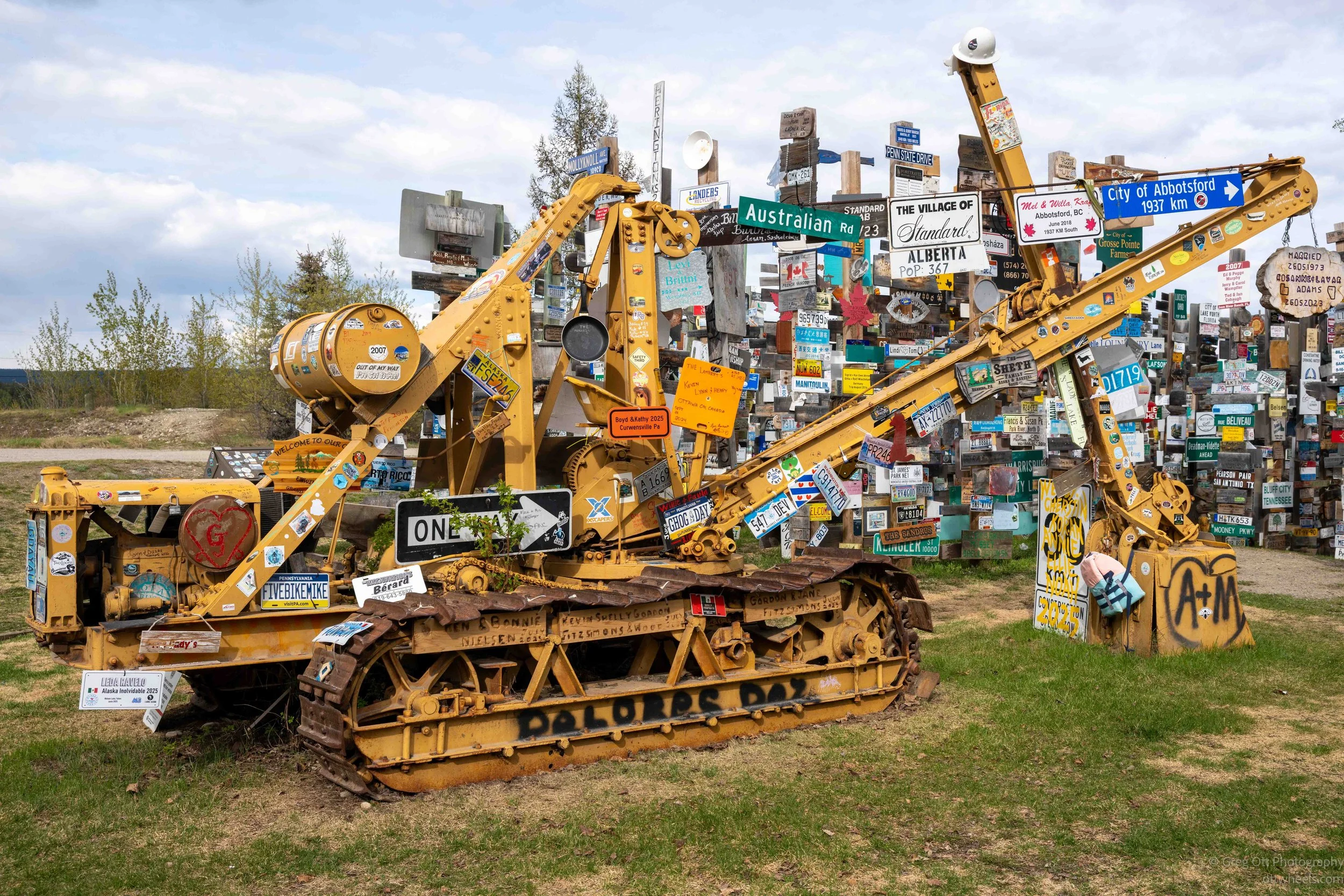
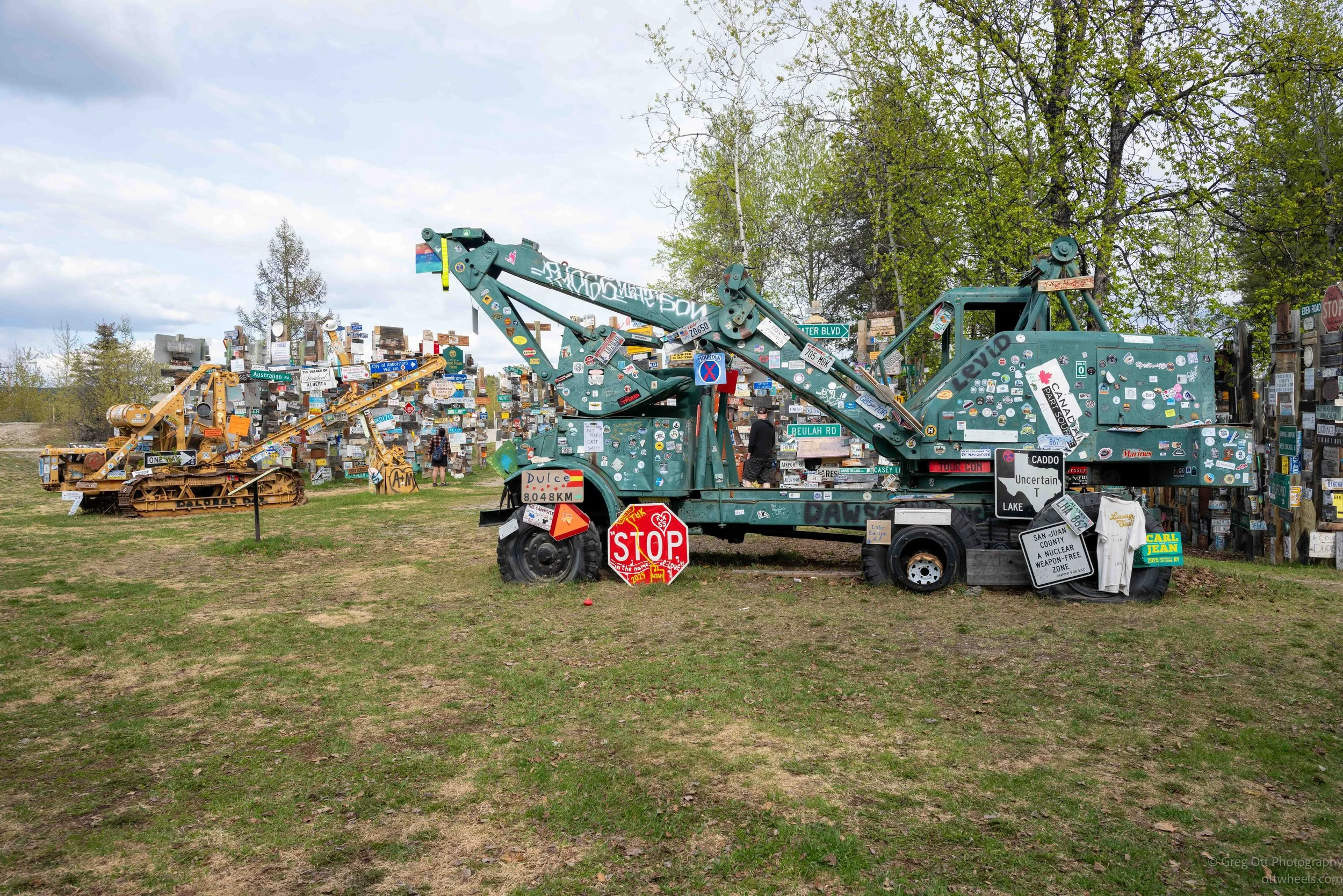
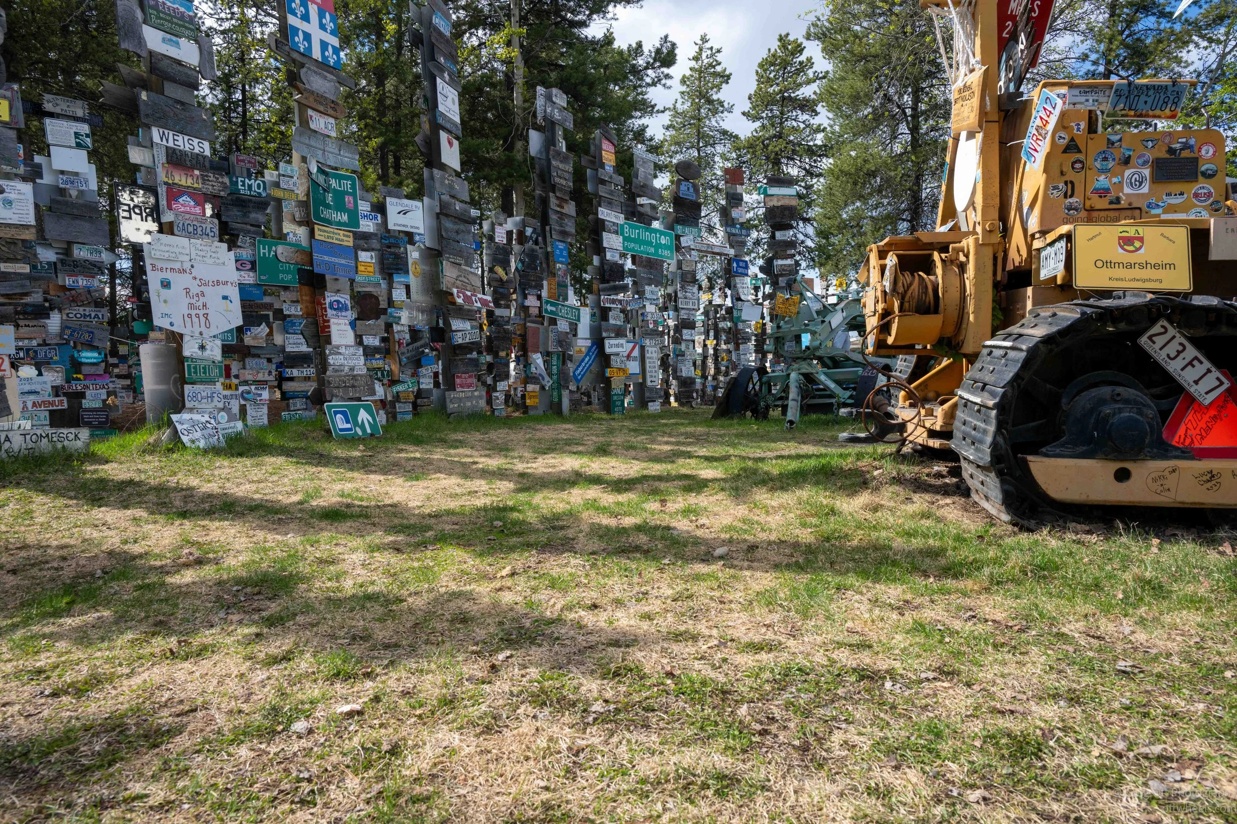
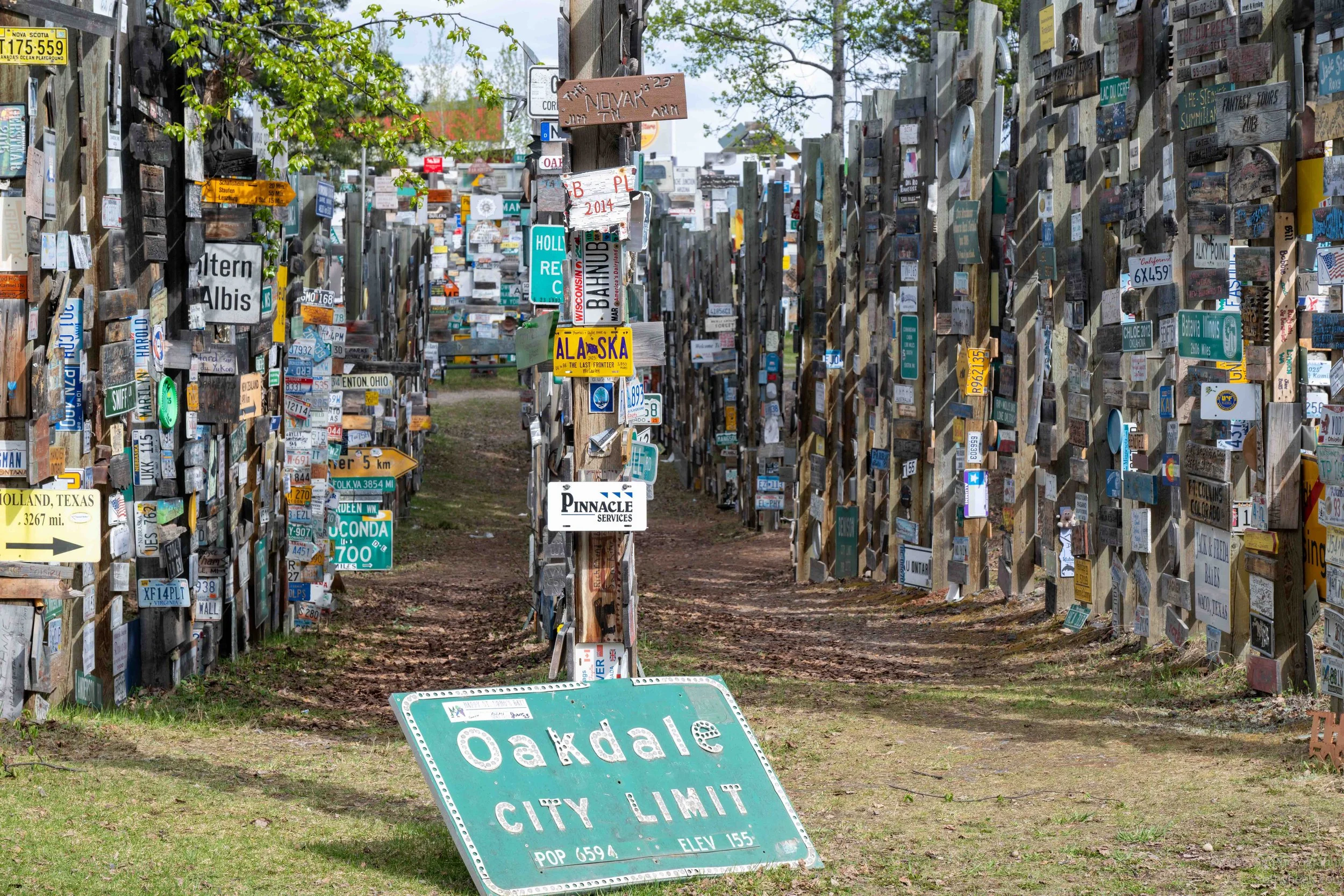
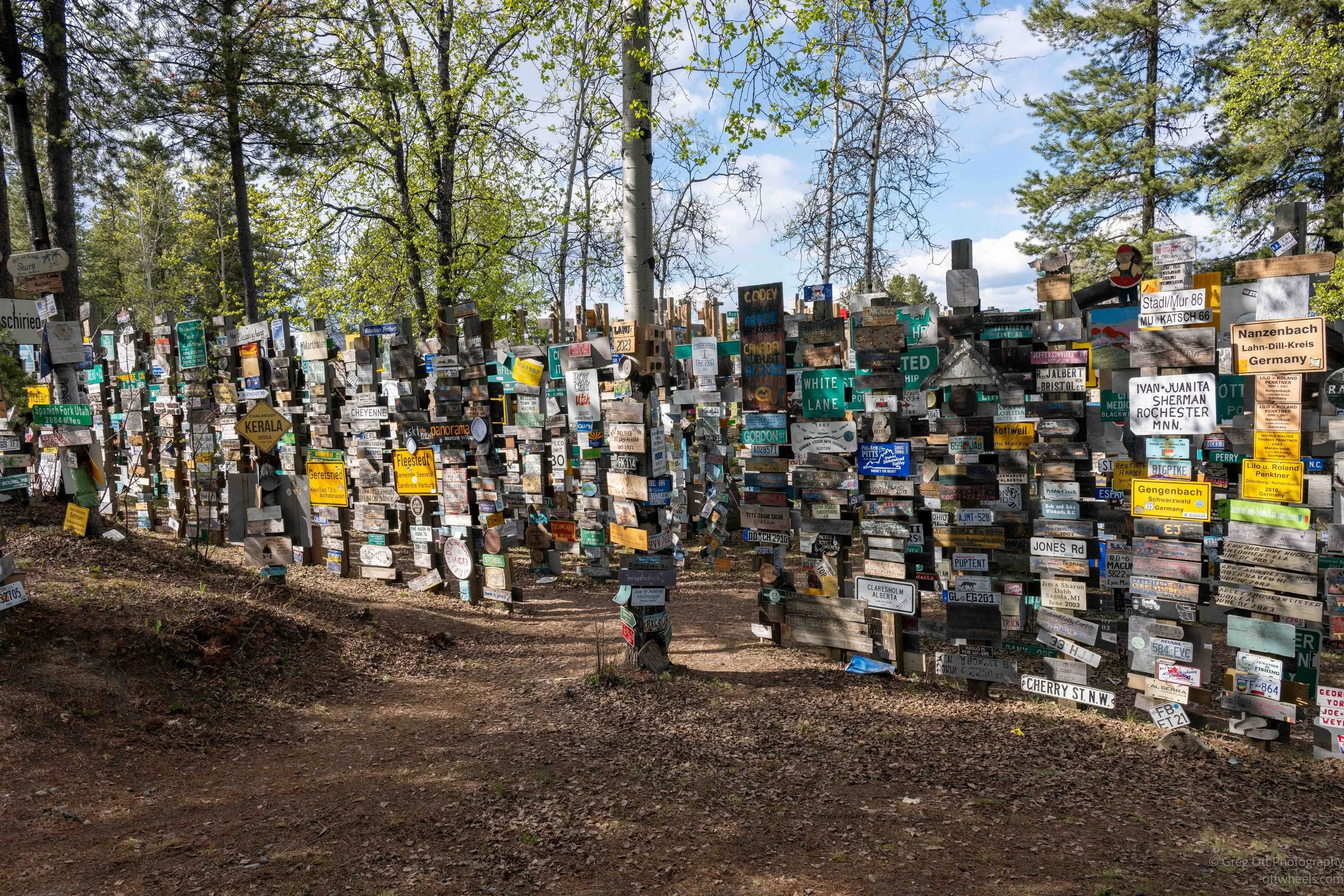
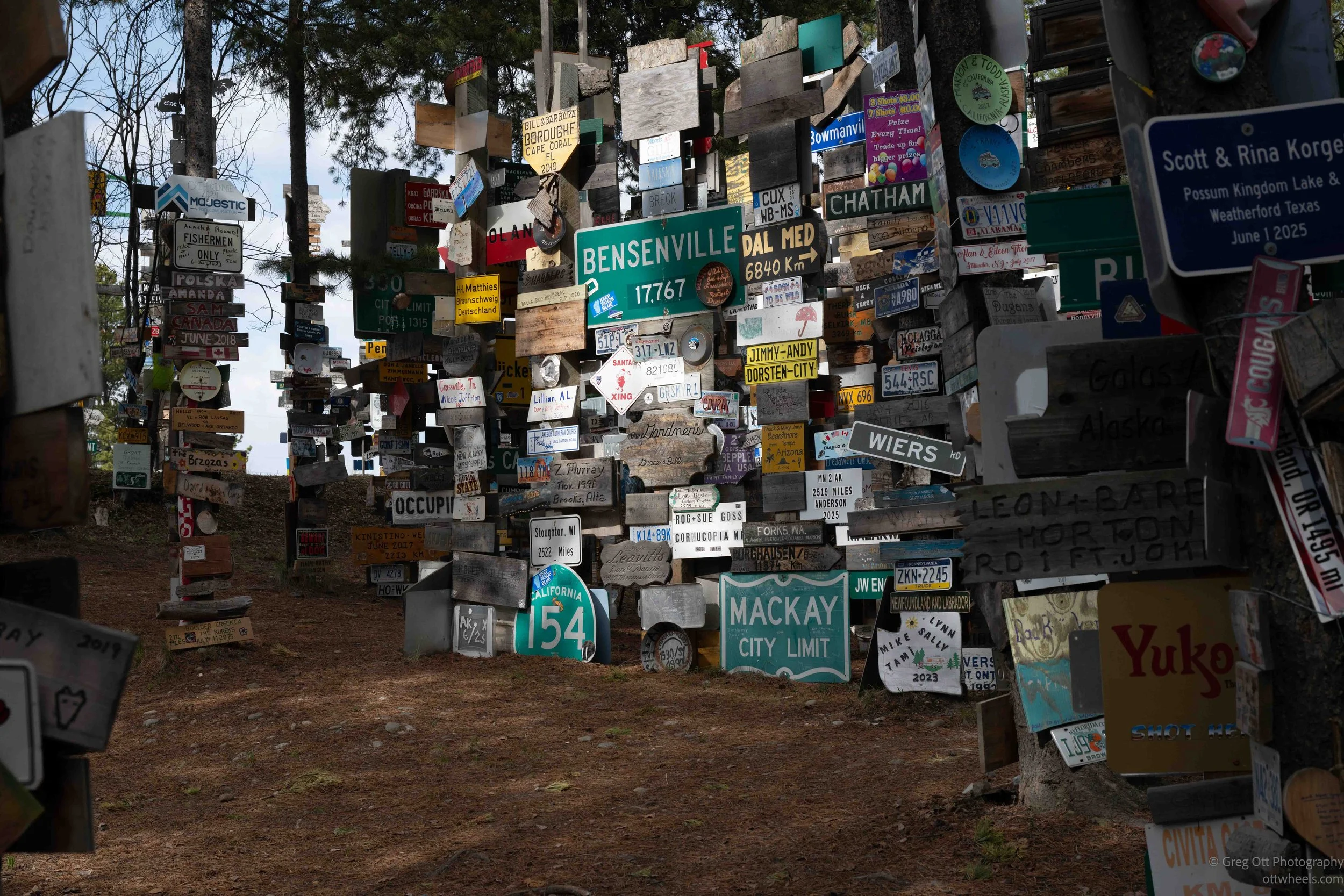
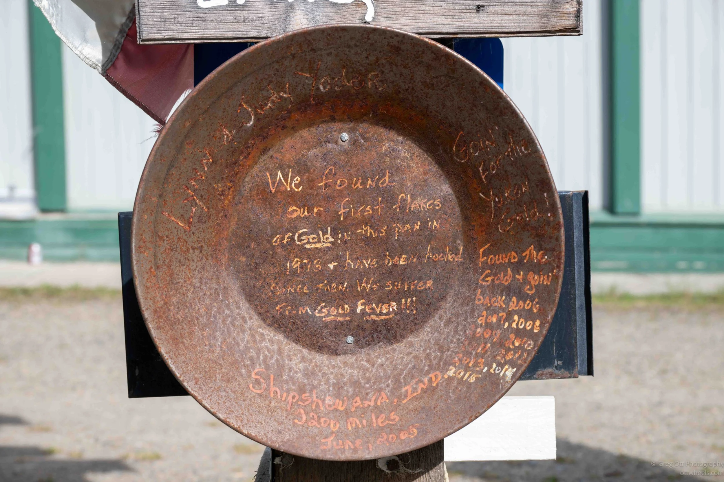
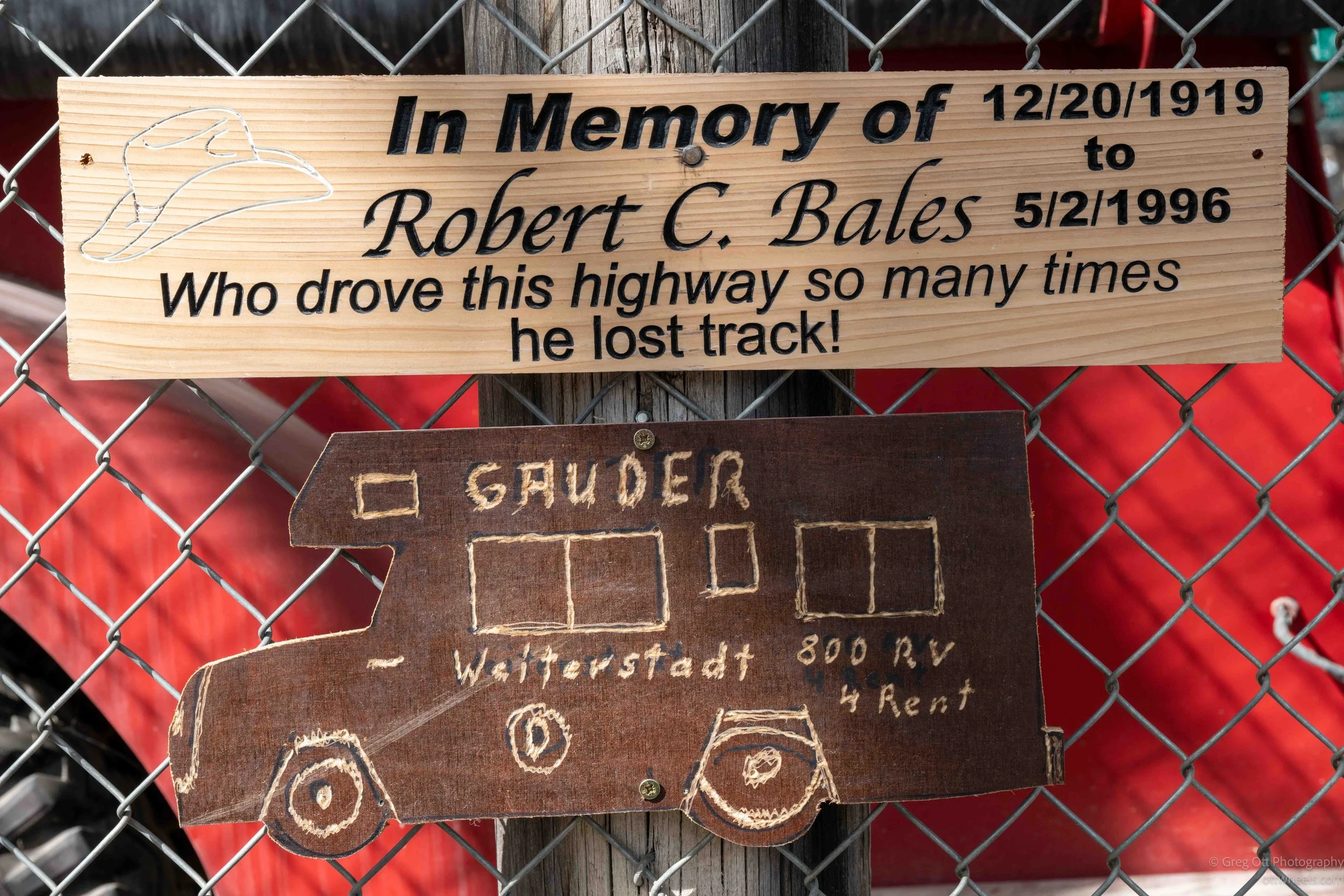
The longer I walked around, the more the place stopped feeling like a tourist attraction and started feeling like a giant record of people passing through the North. Some signs looked brand new while others were faded, cracked, rusted, or barely hanging together after decades of Yukon winters. The materials people used were interesting, and some were well thought out in advance.
At the visitor center I asked what happens to signs that become unreadable, fall apart, or are considered inappropriate. I was told they are usually removed and discarded. There are volunteers and town workers who help maintain the forest, straighten poles, clear pathways, and manage the constant expansion. Considering the snow, extreme cold, and constant freeze-thaw cycles here, it is impressive the place survives at all.
Visitor Center At Watson Lake
I drove across the street to the visitor center in Watson Lake. I think the official name is the Visitor’s Interpretive Centre. It is located inside the Northern Lights Centre, the large blue building beside the Sign Post Forest. The planetarium and visitor center seemed like two separate things, but they are tied closely together.
The Visitor’s Interpretive Centre focuses heavily on the history of the Alaska Highway and the wartime history of the region. There was a 25-minute film that I found incredibly informative. I realized there was a huge amount of World War II history involving Alaska, Canada, Japan, and the North that I either was never taught or had somehow never connected together, despite reading quite a bit about WWII over the years and watching countless documentaries.
Before this trip, I knew about Pearl Harbor and the Pacific war in general, but I had never really understood how directly the war reached North America through Alaska and the Aleutian Islands. I also did not realize how much the fear of Japanese expansion helped drive the rapid construction of the Alaska Highway, or how important this route later became for moving supplies and aircraft north toward Russia through the Lend-Lease program.
Here’s the timeline that I was only partially aware of before coming up here:
-
Descrip1867 — United States purchases Alaska from Russia for $7.2 million (“Seward’s Folly”).
1931 — Japan invades Manchuria, beginning expansion across Asia.
1937 — Full-scale war begins between Japan and China.
July 1940 — U.S. begins restricting exports of aviation fuel and strategic materials to Japan.
September 1940 — Japan signs the Tripartite Pact with Germany and Italy.
March 1941 — U.S. passes the Lend-Lease Act to supply allies with war materials.
July 1941 — U.S. freezes Japanese assets and effectively cuts off oil exports to Japan.
December 7, 1941 — Japan attacks Attack on Pearl Harbor.
December 8, 1941 — United States declares war on Japan.
February 1942 — Construction of the Alaska Highway construction begins to connect the continental U.S. to Alaska by land.
June 3–4, 1942 — Japan attacks Dutch Harbor in Alaska’s Aleutian Islands.
June 6–7, 1942 — Japanese forces invade and occupy Attu and Kiska islands in the Aleutians.
1942–1945 — Large amounts of Lend-Lease supplies move through Alaska and Canada into the Soviet Union using the ALSIB air route.
January 1943 — U.S. forces begin operations to retake the Aleutian Islands.
May 1943 — Battle of Attu ends with U.S. forces retaking the island after brutal fighting.
August 1943 — Allied forces land on Kiska, only to discover Japanese troops had secretly evacuated.
1944 — Alaska Highway fully operational as a major military and supply route.
September 2, 1945 — Japan formally surrenders, ending World War II.tion text goes here
I paid the C$12 to watch the two videos at the Northern Lights Centre. The building itself is a surprisingly large and modern planetarium sitting right across from the Sign Post Forest. Every hour, on the hour, the theater runs two films back-to-back, each about 25 minutes long. After spending days driving through forests, mountains, and small northern towns, it felt strange walking into a dark dome theater in the middle of the Yukon.
The first film, Yukon’s Northern Lights, focused on the aurora borealis. I realized while watching it that I understood far less about the northern lights than I thought I did. I knew they were connected to solar activity, but seeing the explanation projected across the dome while the entire ceiling filled with moving curtains of green light made it all click in a different way. The film mixed science with footage shot throughout the Yukon during winter. Some of the scenes almost did not look real. The lights moved and shifted across frozen lakes and snow-covered forests in ways that felt more like something underwater than something happening in the sky. It also made me realize how different winter must feel up here when darkness lasts most of the day and the sky itself becomes part of life.
The second film, Big, moved away from the Yukon entirely and into space, black holes, galaxies, and the scale of the universe. I found this one unexpectedly effective inside the dome theater because there is no real frame of reference anymore. The film would zoom outward from Earth into larger and larger structures until everything started feeling almost incomprehensible. At one point I caught myself thinking about how isolated the Alaska Highway already feels, and then realizing that from the perspective of the universe, even all of Earth is basically invisible. The black hole sections were especially interesting because they explained concepts I had heard about for years but never fully visualized. Sitting there in a small town in the Yukon watching galaxies collapse into black holes somehow felt like a very northern experience.
I realized that overnight camping was allowed near the Sign Post Forest on the side closer to the recreation center. I pulled in around 7:30 and at first I was the only one there. Apparently during the summer the place gets so packed that people complain they can barely get out of their RVs. By 11 p.m. there were eight of us spread around the lot, all quietly settling in for the night. It had been a long and active day. I made dinner, wrote for a while, processed images, and did some reading before bed. Compared to some of the crowded campgrounds I had passed earlier in the trip, this felt almost civilized.