Teslin, YT
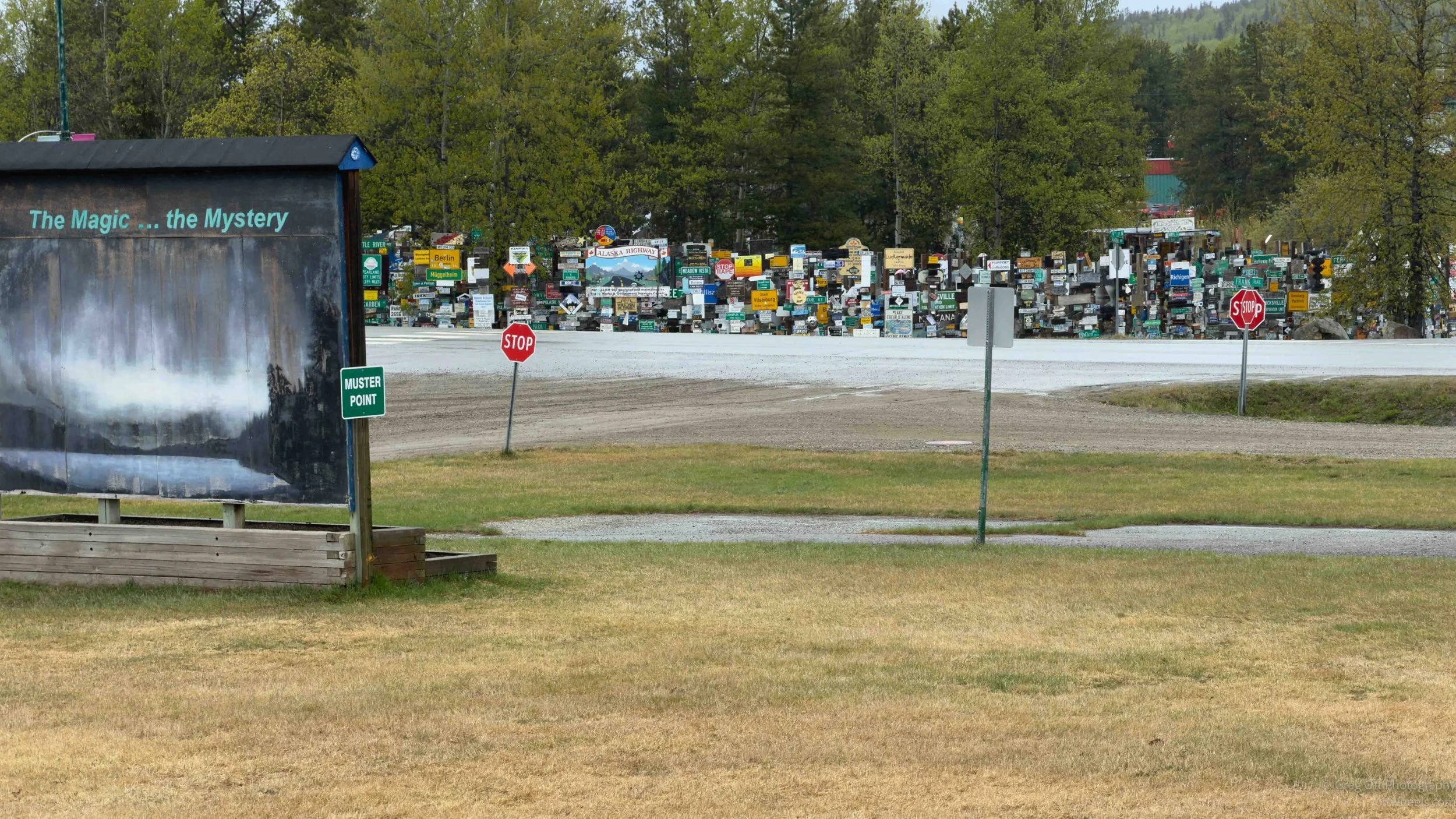
I woke up near the Sign Forest in Sign Post Forest and after breakfast I walked back across the street to the visitor center. I was still thinking about the WWII film I had watched the day before and the realization that Japan had actually invaded Alaska during the war. Somehow that entire part of history had mostly escaped me. I knew about Pearl Harbor, Midway, and the Pacific campaign, but almost nothing about the Aleutian Islands, the military buildup in the north, or how closely tied the Alaska Highway was to all of it. The same woman from the previous day greeted me when I walked in. I told her I wanted to watch the film again because I felt like I had missed half of it while trying to absorb everything the first time. The second viewing connected a lot more dots for me. By the time I left, I knew I had quite a bit more reading to do.
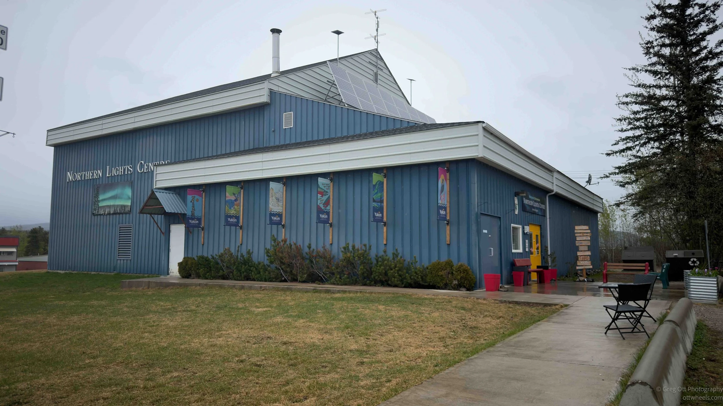
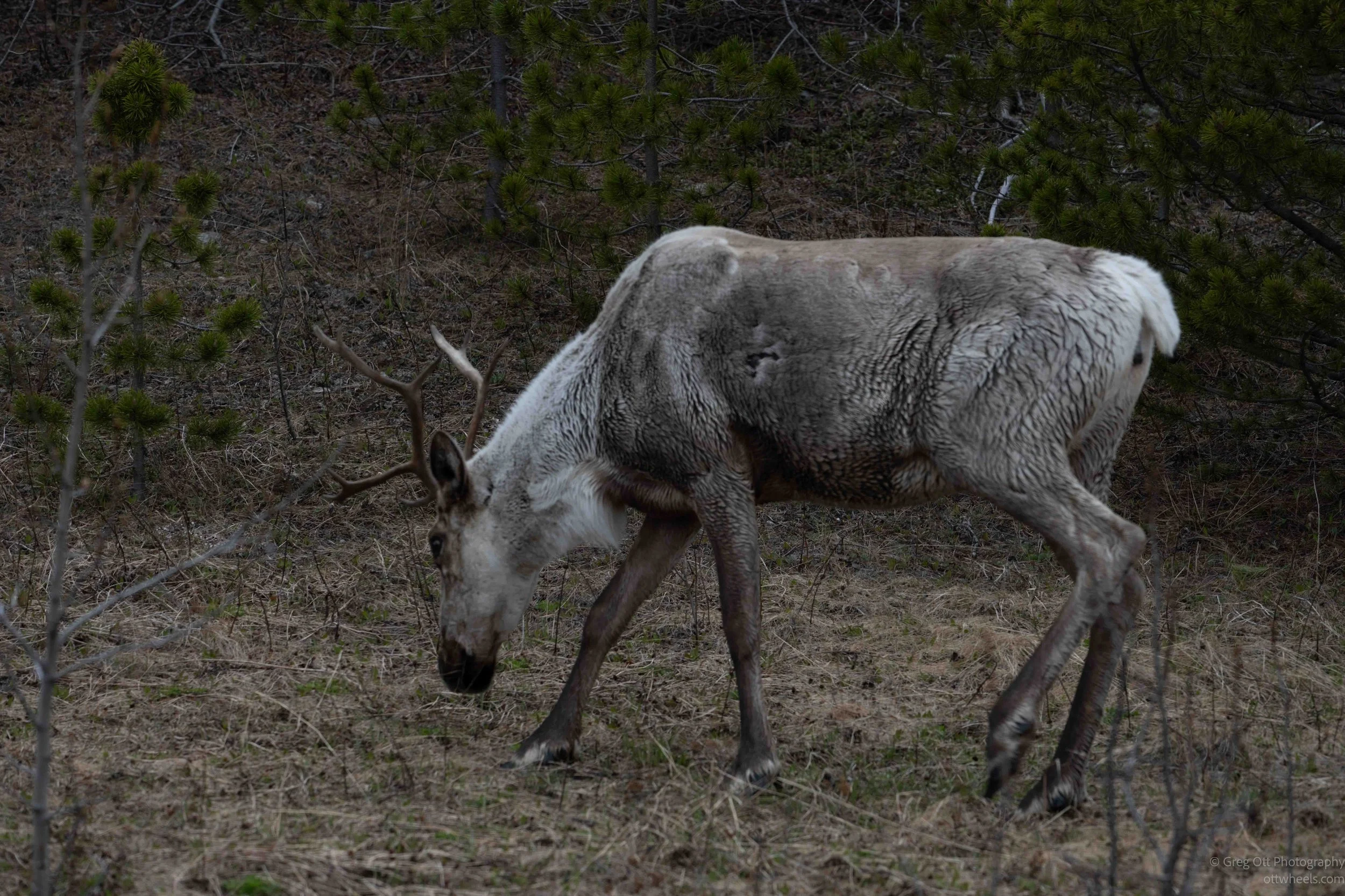
I had what I expected would be about a three to four hour drive north to Teslin. At one point I was on a call with my brother while stuck behind a long line of RVs moving well below the speed limit because of one very old motorhome leading the entire group. Then suddenly, off to the side of the highway, I spotted two caribou, a bull and a cow, walking slowly through the grass near the trees. I pulled over immediately and grabbed the camera. They never once looked in my direction, which made photography difficult, but I barely cared. I was just excited to finally see my first caribou in the wild.
The farther north I drove, the more the landscape began to feel endless. Tall forest lined both sides of the highway for long stretches with very few wide open views. Earlier in the trip I had constantly been stopping for photographs, but here the scenery felt more enclosed and repetitive. Oddly enough, that turned into a bit of a gift. I actually made decent time for once and didn’t end the day with another 400 images to sort through later.
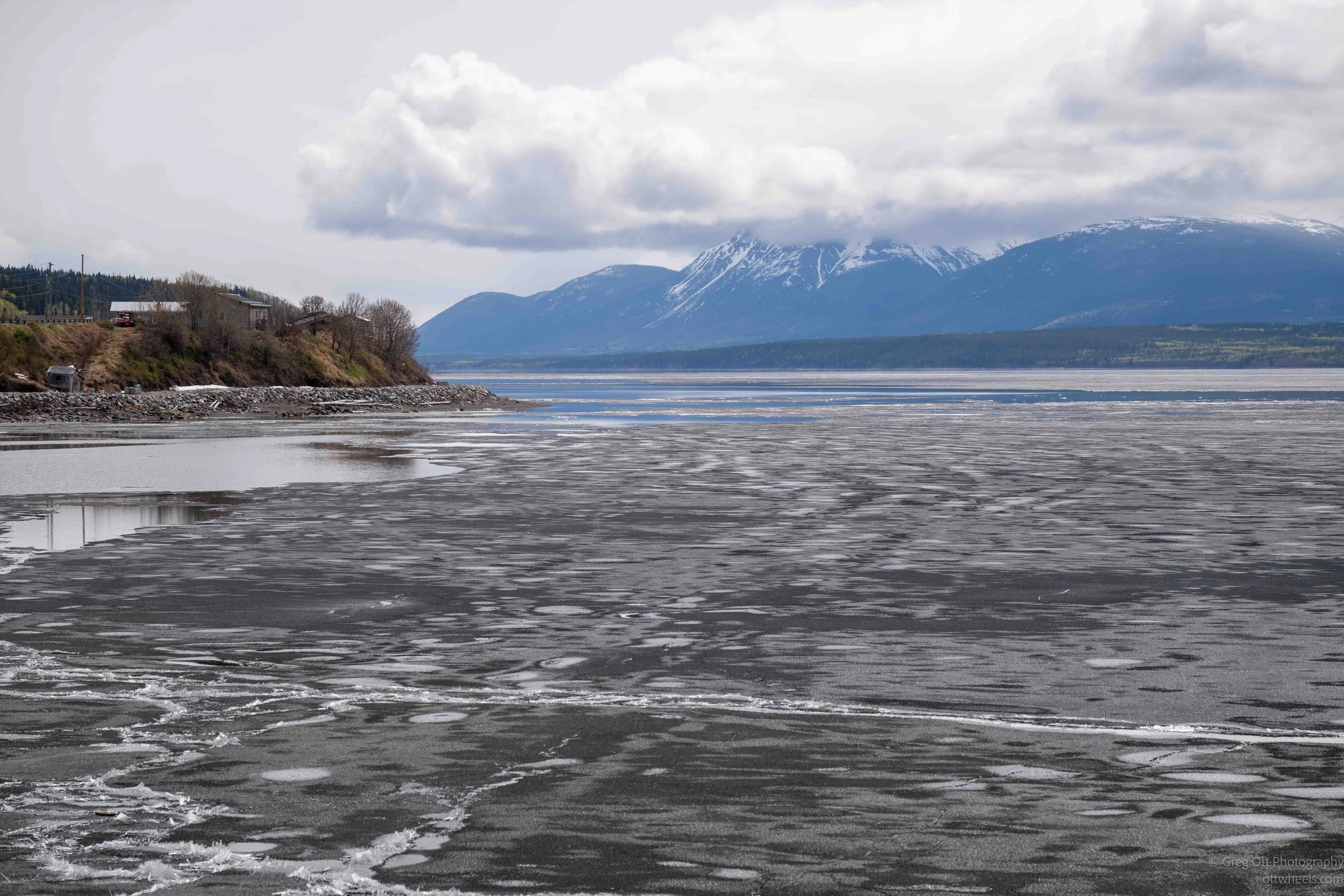
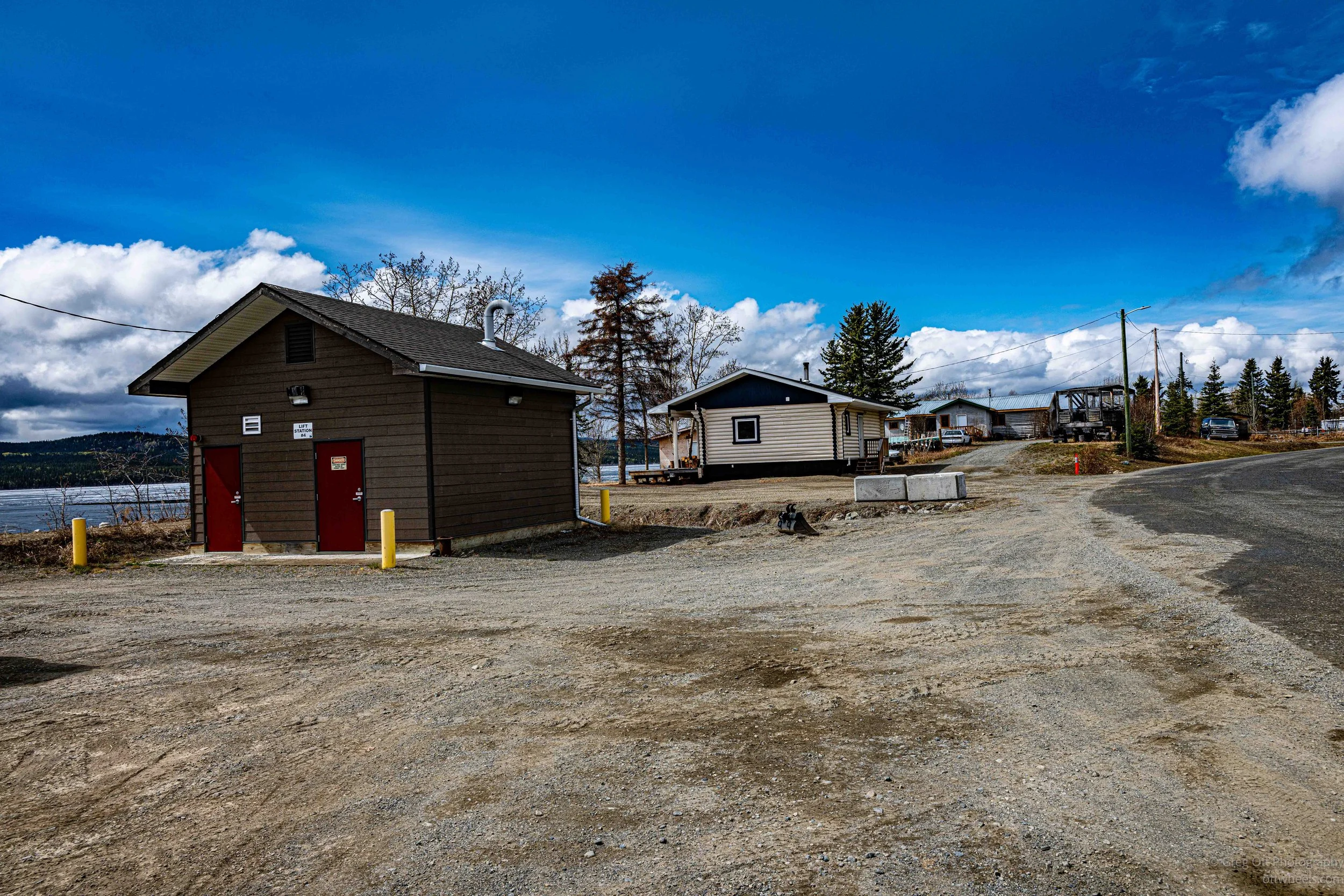
It was close to 2 p.m. when I arrived in Teslin. On the right side of the highway there was a combination restaurant, campground, hotel, and gas station packed with vehicles waiting for fuel. I decided to keep driving and explore first. Teslin only has a population of around 240 people, so it does not take long to see most of the town. I turned off the highway and drove toward what I initially thought was a large river, but it was actually Teslin Lake. Even at the end of May, most of the lake was still covered in ice. The water near town had opened up, probably from a combination of warmer runoff, shoreline activity, and infrastructure beneath the ground, but farther out the lake remained frozen solid.
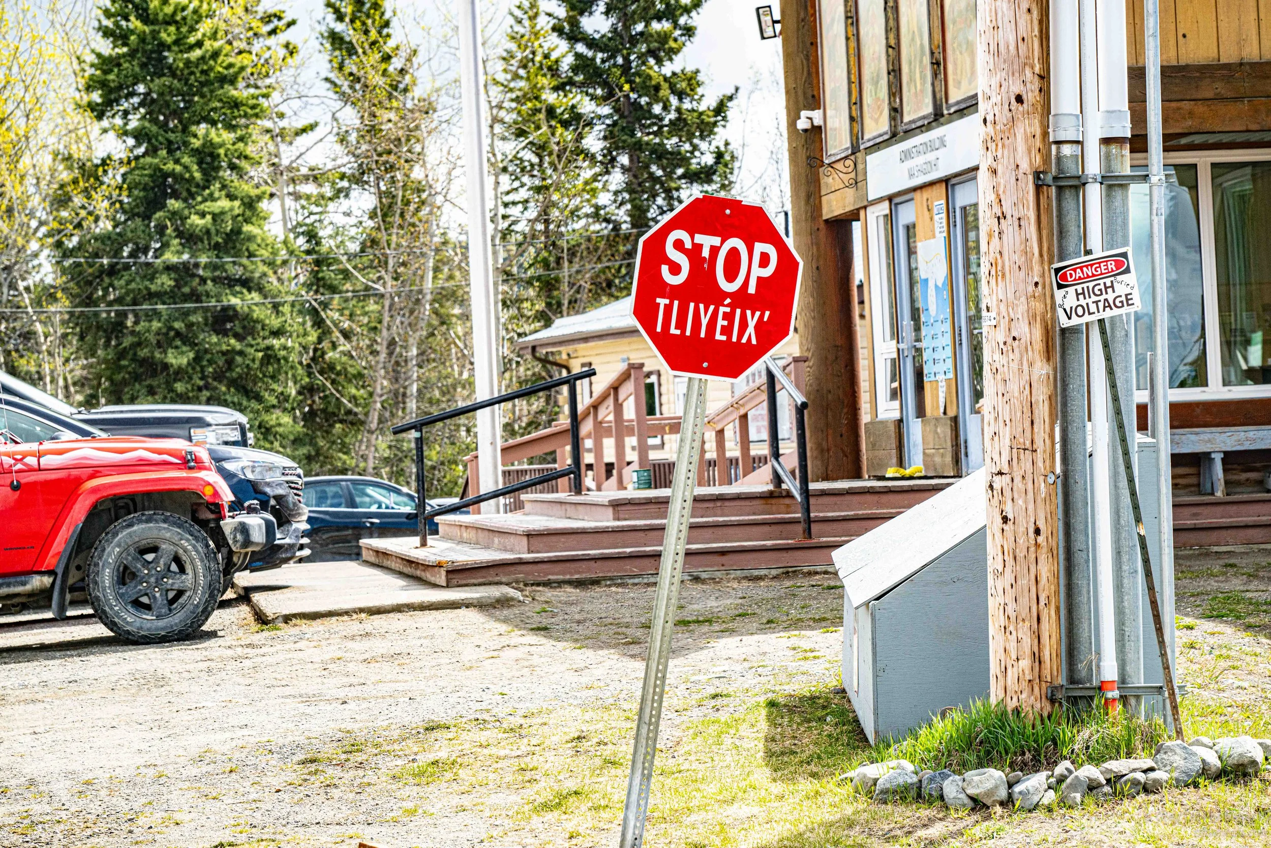
After standing along the shoreline for a while and taking a few photographs, I headed back toward the highway. At the intersection there was a stop sign that also included Tlingit wording beneath the English. Small details like that kept reminding me that this part of the Yukon still feels deeply connected to its Indigenous roots rather than simply existing as another highway town.
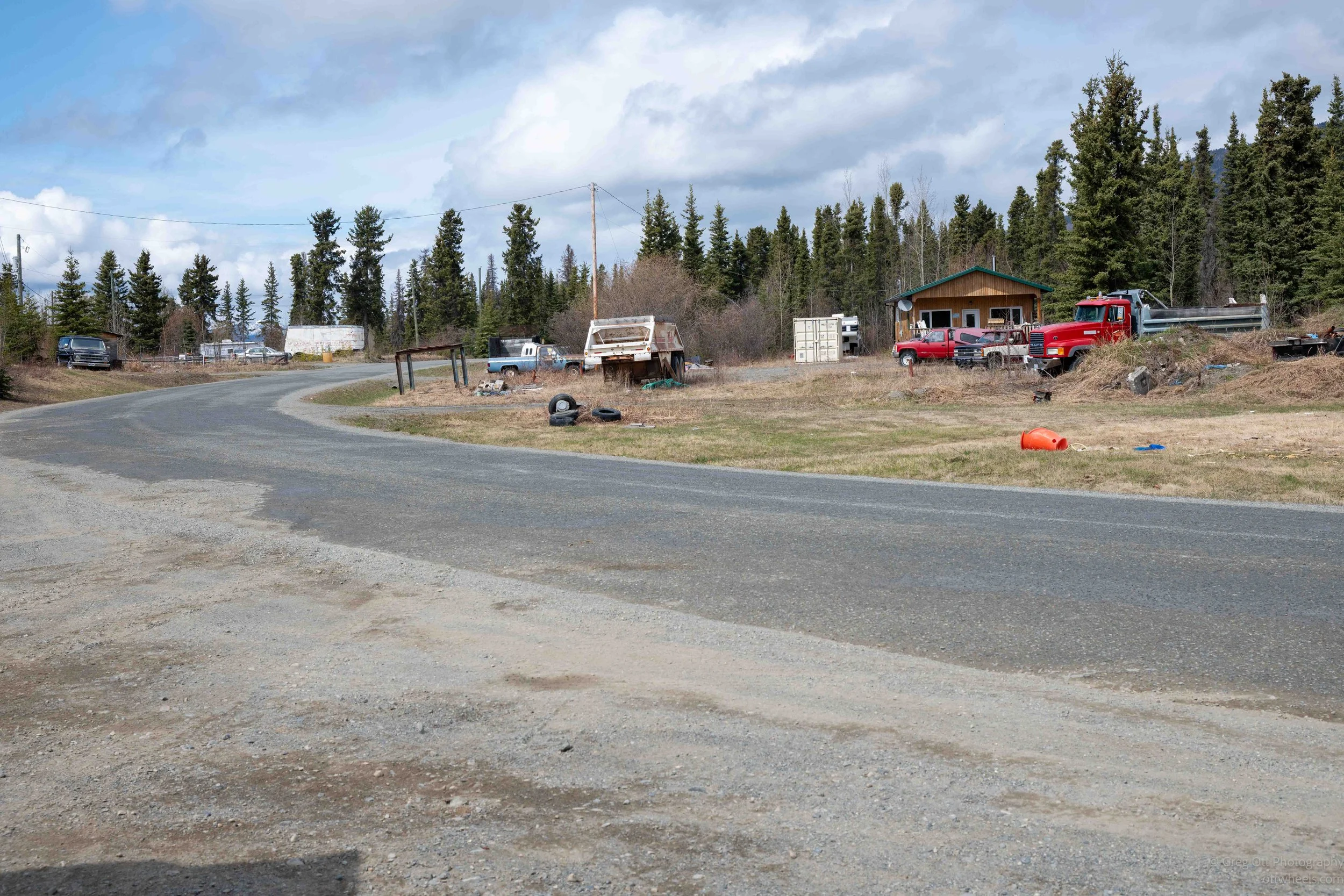
I stopped at the other gas station in Teslin, where almost everything around it was gravel. They probably do not bother paving large areas because of both the cost and the damage the winters would inflict anyway. Attached to the station was a small grocery store along with a few other businesses that seemed to supply most of the essentials for people living in the area.
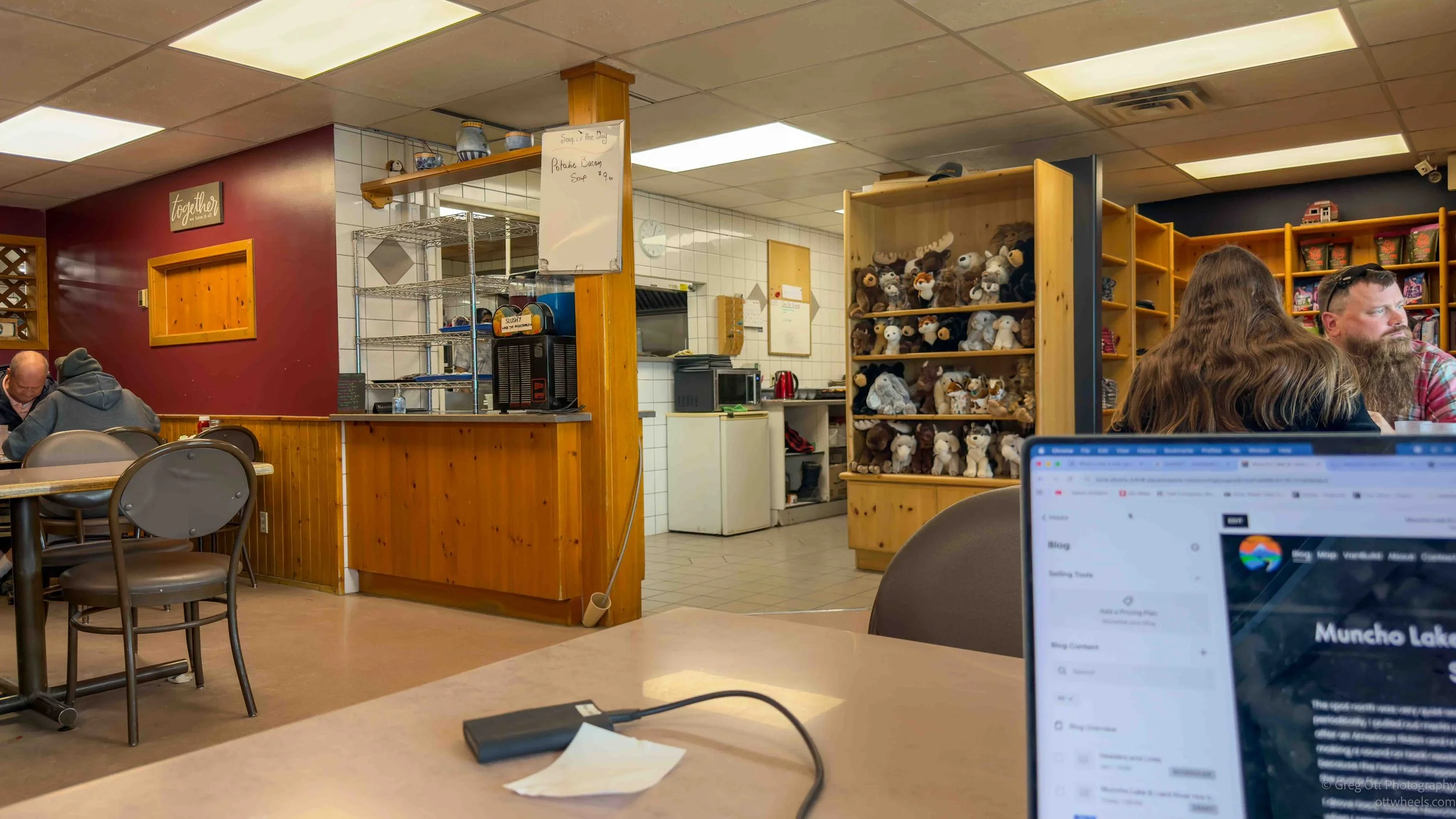
Once I topped up on fuel, I went back to the only restaurant in town for lunch. Walking inside felt strangely familiar, like stepping into a small-town restaurant somewhere in the Midwest. The menu looked like it had been printed at least ten years ago and barely changed since. The soup of the day was bacon potato soup, which somehow felt exactly right for this part of the Yukon. I ordered the soup and salad special along with french fries with no salt because I already knew the soup would contain more than enough. I was right.
I brought my laptop inside and spent part of lunch sorting through photographs from the previous few days. As cute as the baby wood bison were, I really did not need 100 nearly identical images of them lying in the grass. Around me, I could overhear conversations from locals finishing lunch or stopping in for coffee. Several looked like retired truck drivers, though from the conversations it sounded like many still worked occasionally. One older couple sitting near me both walked with canes and moved slowly. They were talking with my waitress about vehicle repairs and mechanics. The man eventually left to go pick someone up while the woman stayed behind because she currently did not have a working vehicle and needed a ride home. I’m not sure why her friend didn’t take her home but others in the restaurant offered to driver her. Eventually, someone came to pick her up.
As I sat with the images, my waitress began telling me more about her life. She said she and her husband, who passed away two years ago, had raised five children “out in the bush” in Alaska. She described the winters as brutally difficult and said all of the kids still live near Anchorage. She drifted back into stories about mechanics who had done poor repair work on her vehicle brake. During the repairs, the vehicle drifted off and damage the rear of the vehicle. She told me Social Security wasn’t enough to cover rent or major repairs, which is why she still worked six days a week at the restaurant. Listening to her, I found myself wondering how much longer she could realistically keep doing this. Up here, there seems to be a quiet toughness to people’s lives that you do not fully understand until you sit down long enough to hear their stories.
George Johnston Museum
I stopped at the George Johnston Museum and ended up spending far more time there than I expected. It turned out to be one of the more interesting museums I’ve visited in the Yukon because it tied together photography, Indigenous history, local community life, and the enormous changes that arrived after the Alaska Highway was built.
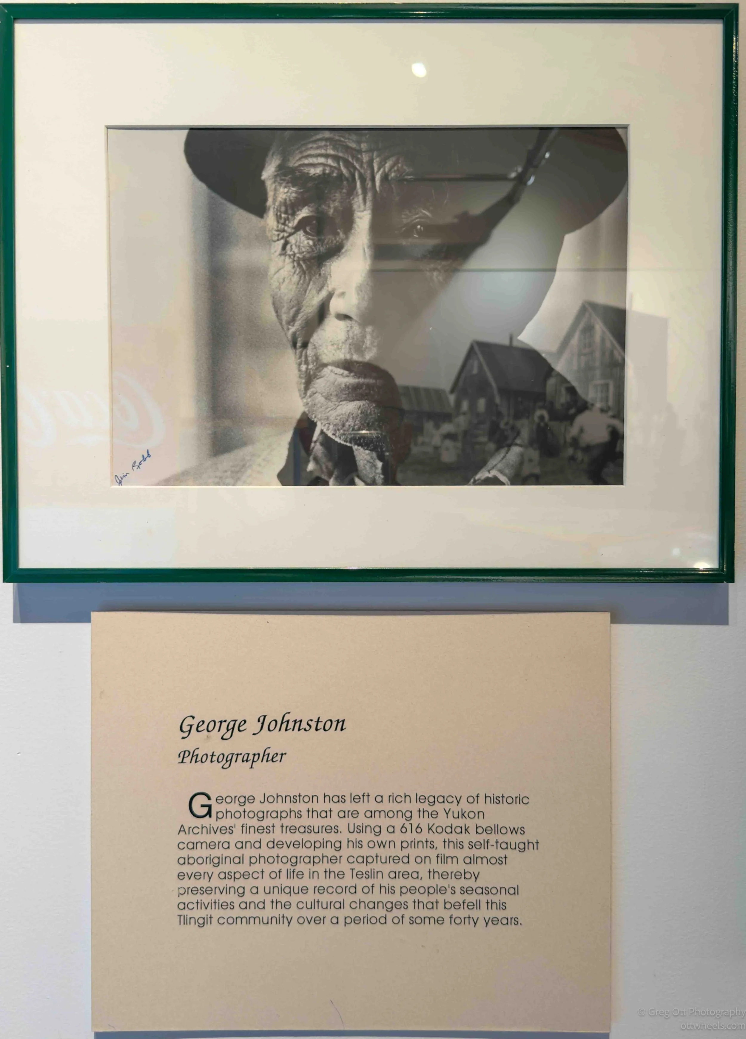
The museum centers around George Johnston, a Tlingit photographer and trapper who documented life in the Teslin area for decades. One detail I found especially interesting was that many of his photographs were taken using a 616 Kodak bellows camera. Considering the conditions and the era, the image quality was remarkable. These weren’t tiny faded prints hidden away in a dark corner. Many of them were large, sharp, high-resolution images filled with detail. I found myself standing there studying faces, clothing, tools, cabins, boats, and daily life in a way that felt surprisingly personal. A lot of the images captured ordinary moments that probably seemed unimportant at the time but now feel invaluable because they preserved an entire way of life in the Yukon before roads, tourism, and modern development changed everything.
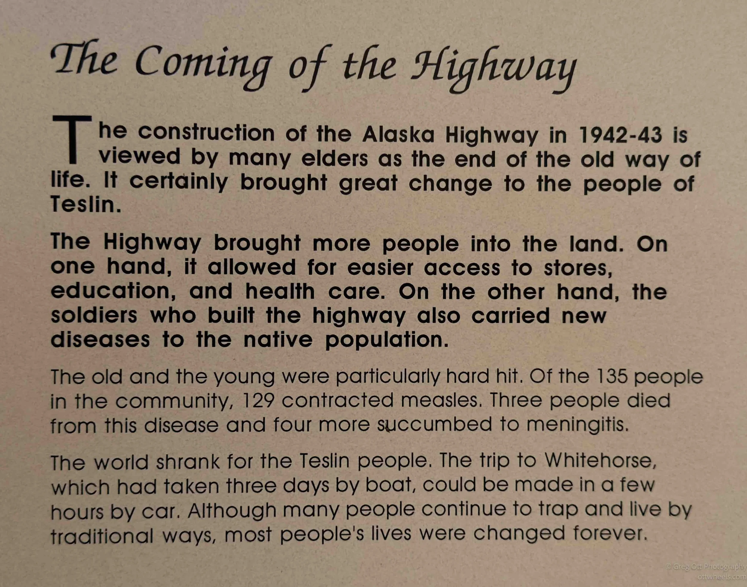
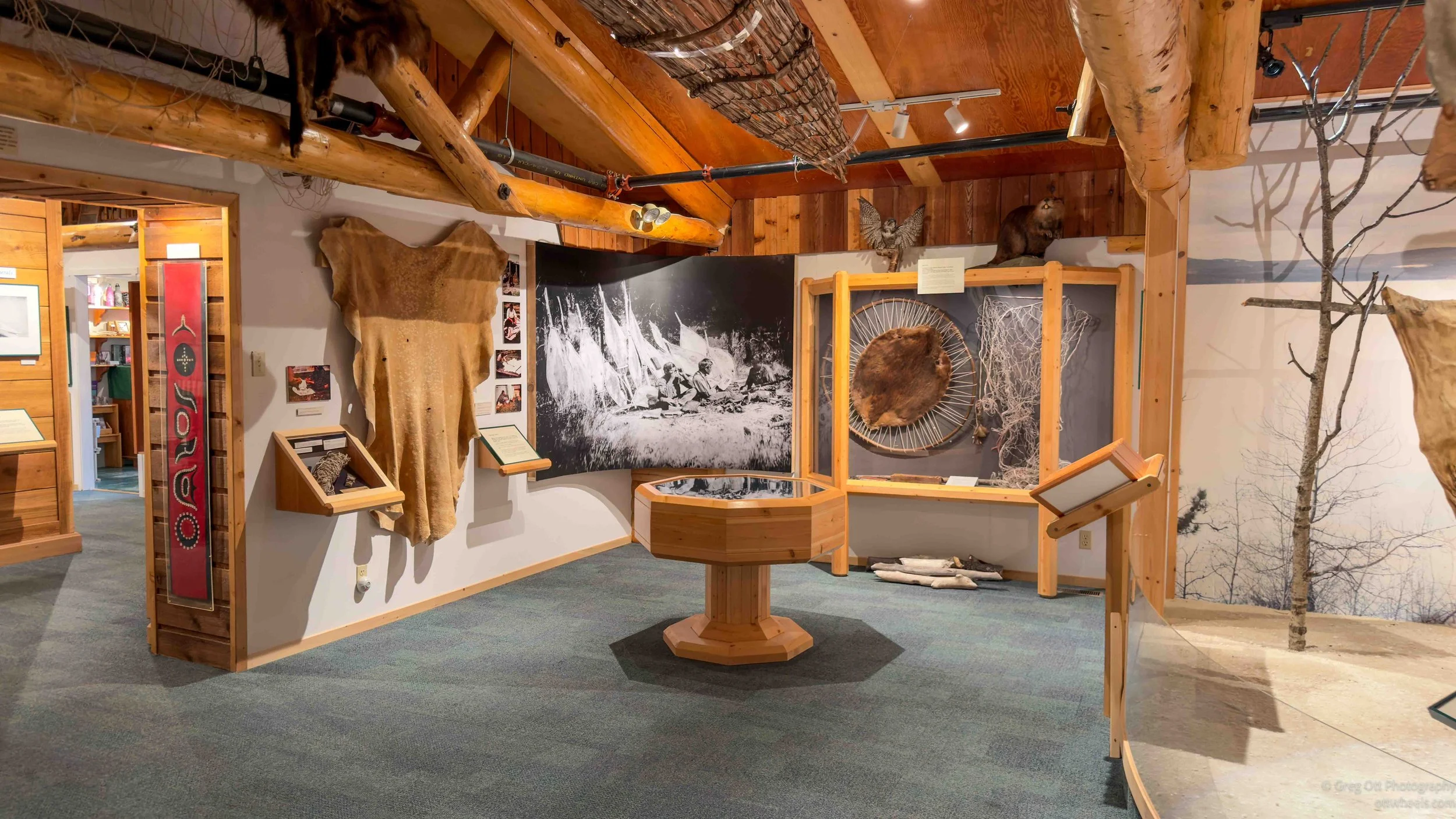
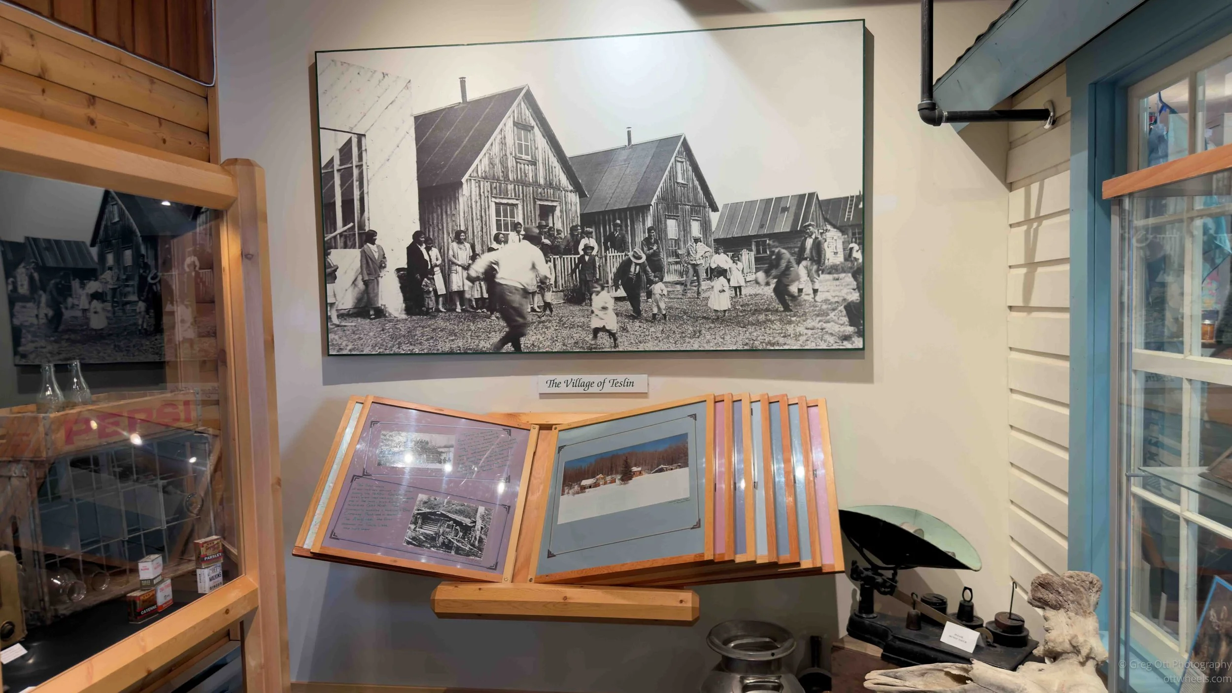
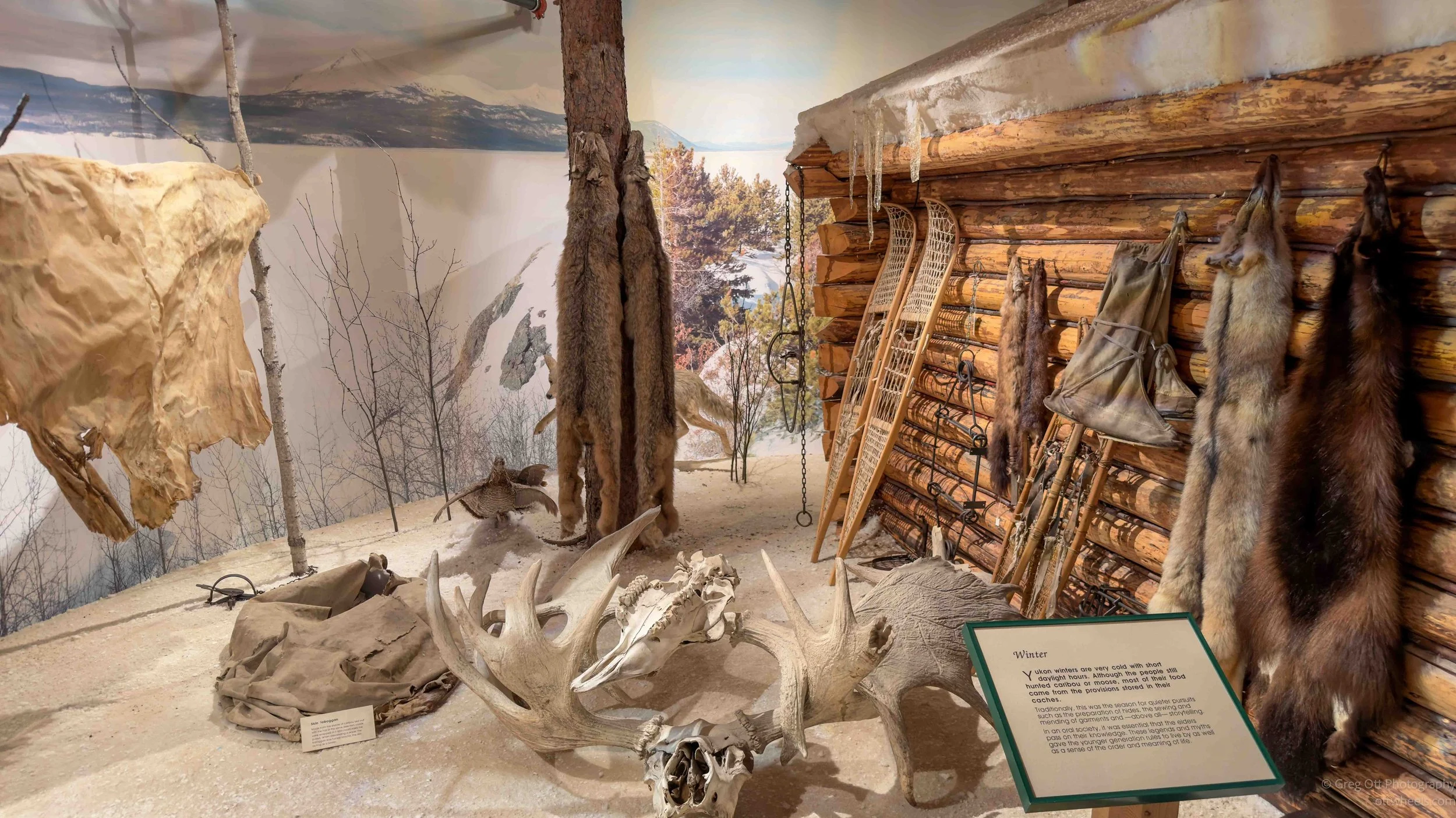
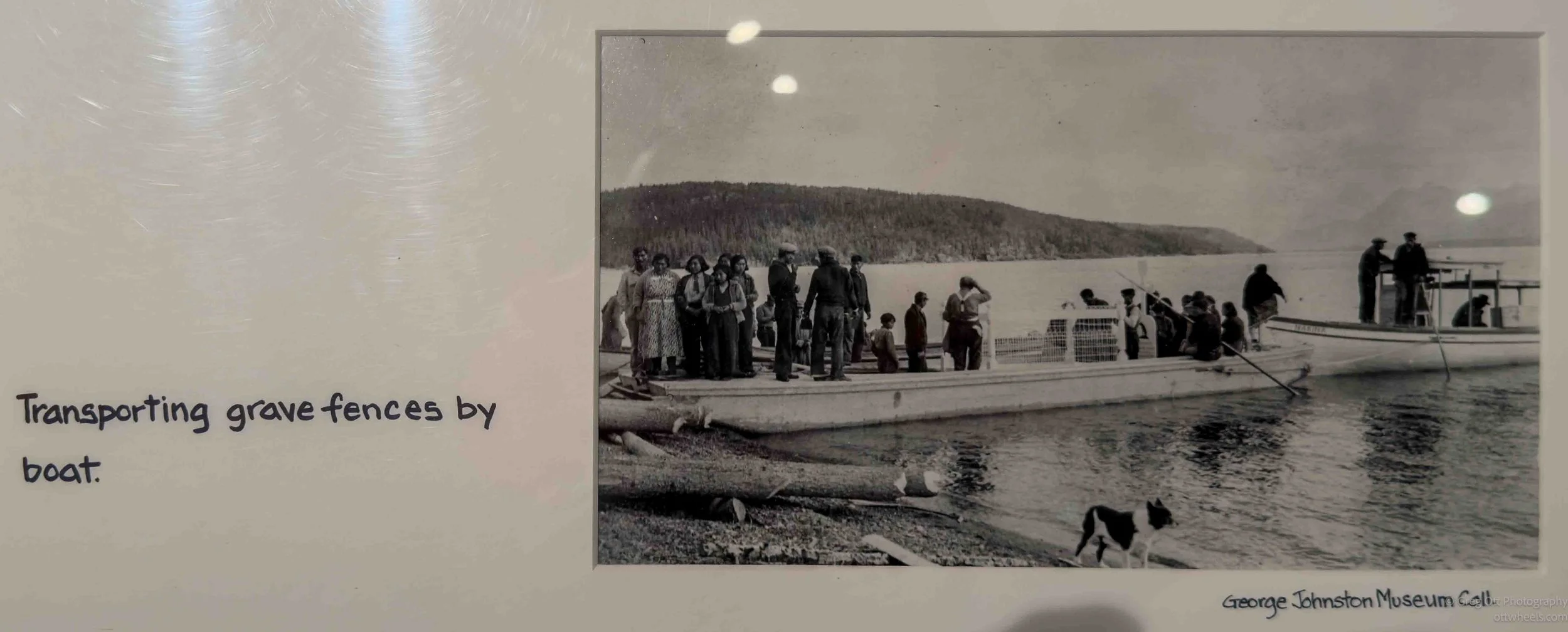
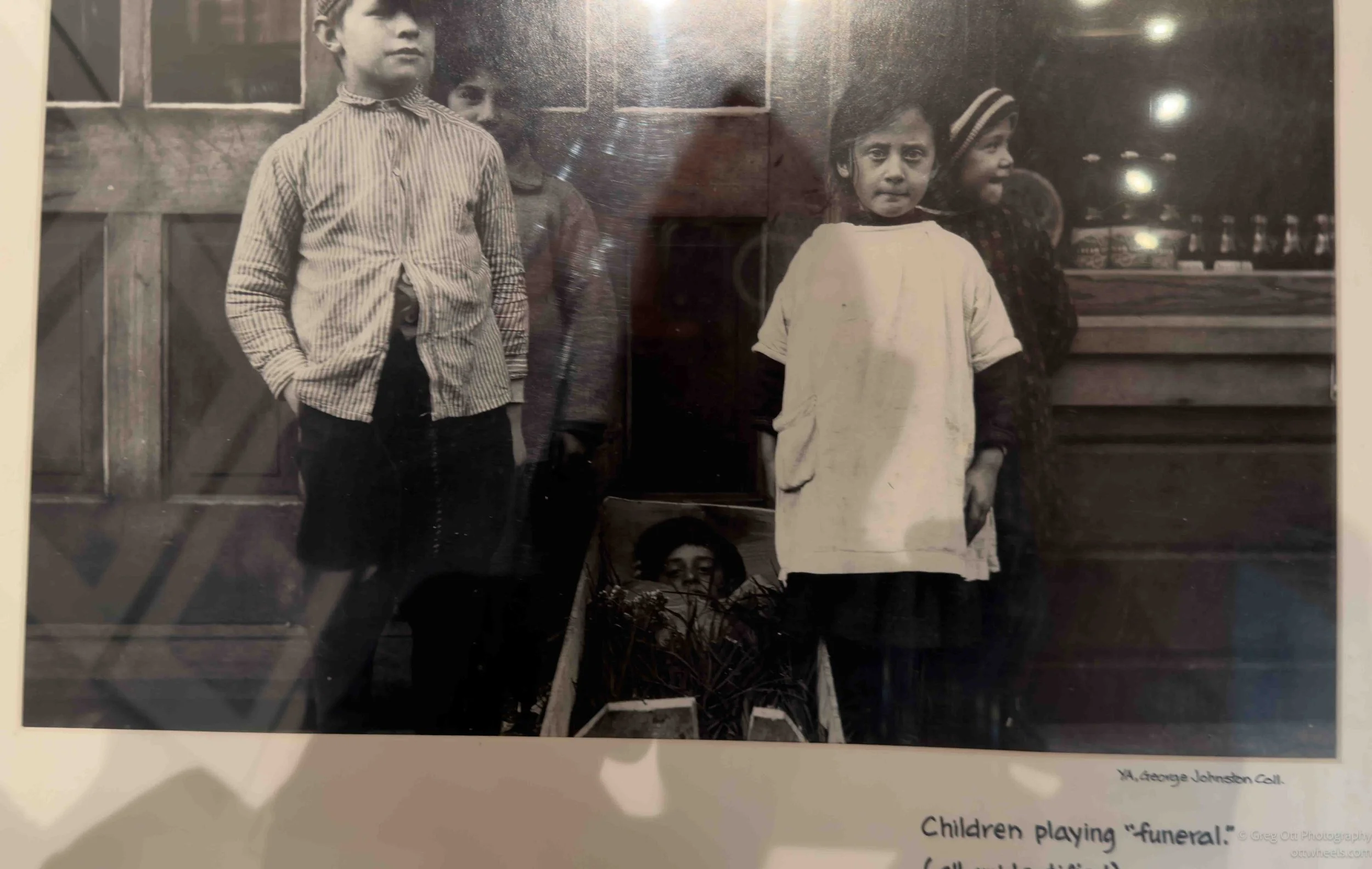
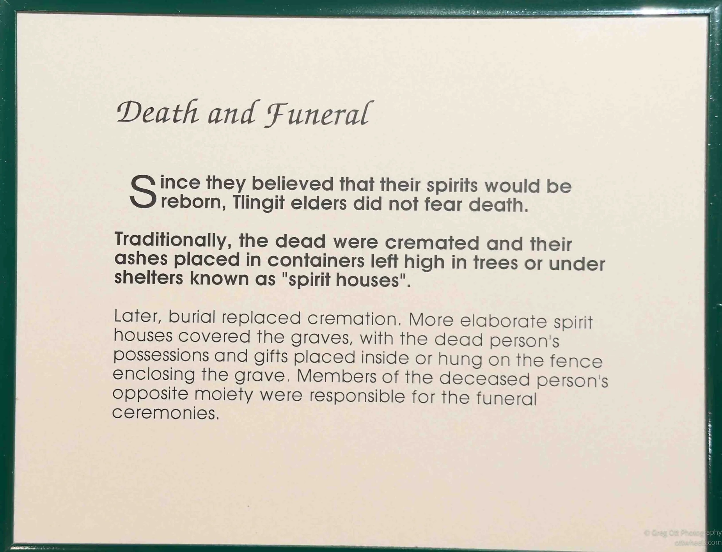
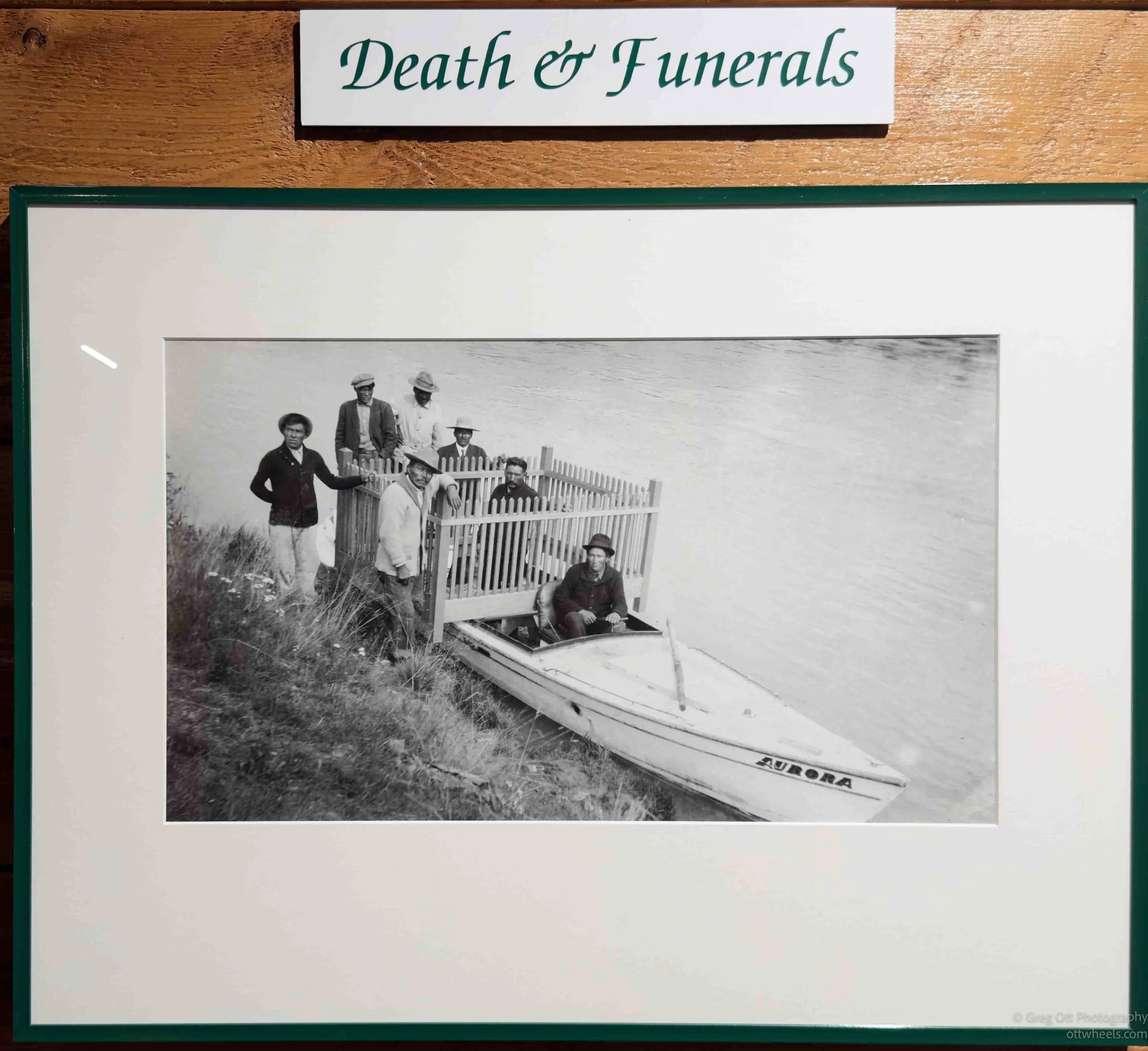
One section that especially caught my attention showed the wooden fences built around gravesites. The fences had been handcrafted locally and many of the fence posts were turned on the old lathe that is still inside the museum. I asked one of the staff members about them and she explained some of the local Indigenous beliefs and traditions connected to burial practices and protecting the gravesites. It added a layer of meaning to photographs that I probably would have otherwise just glanced at and moved past. Another photograph was genuinely strange and memorable. A group of children were pretending to be dead and one child was lying inside a coffin while the others posed around it. It was one of those old photographs that feels unsettling at first because modern eyes interpret it differently, but it also reminded me how differently earlier generations often viewed photography, death, and daily life.
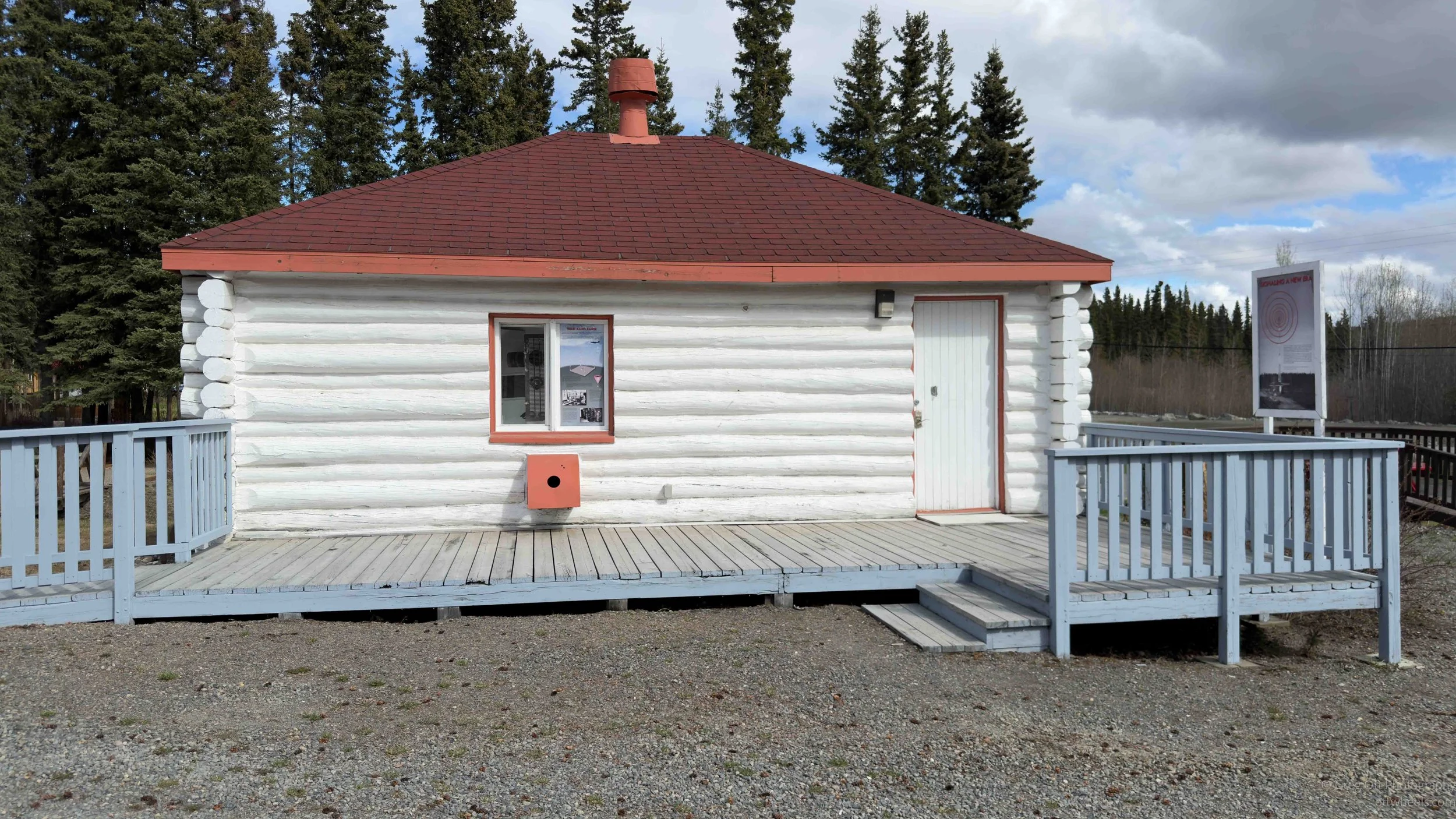
Beside the museum is the old communications building, and oddly enough I found that just as interesting as the museum itself because it completely changed how I thought about this part of the Yukon during World War II. Before coming up here, I understood in a general sense that the Alaska Highway had been built because of the war, but I had never fully connected all the pieces together. This wasn’t simply a lonely road pushed through the wilderness. The Yukon became part of a massive military transportation and communications corridor stretching across western Canada into Alaska.
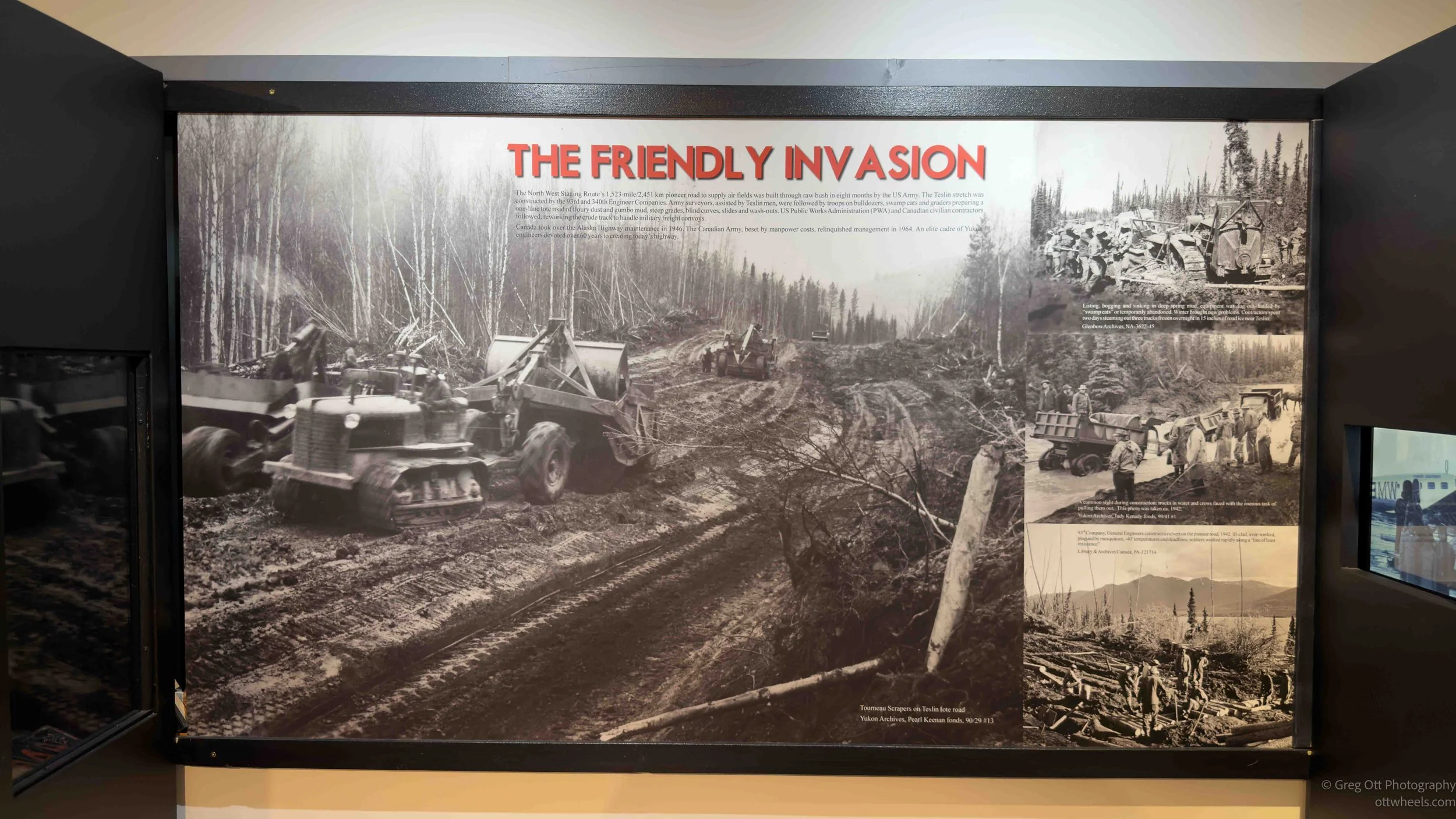
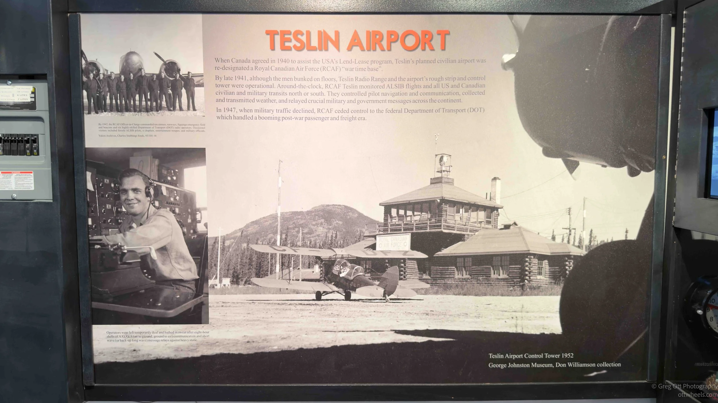
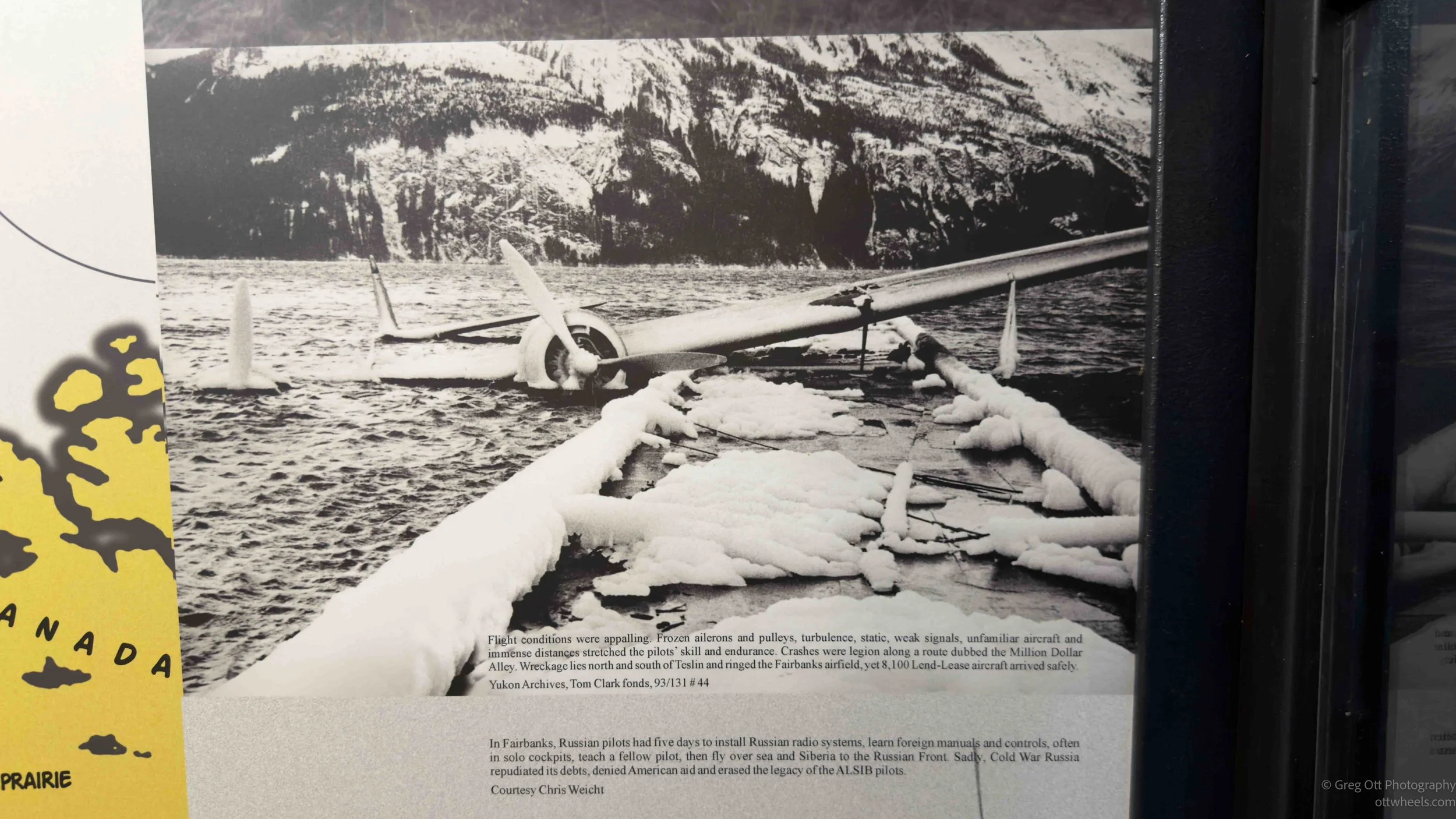
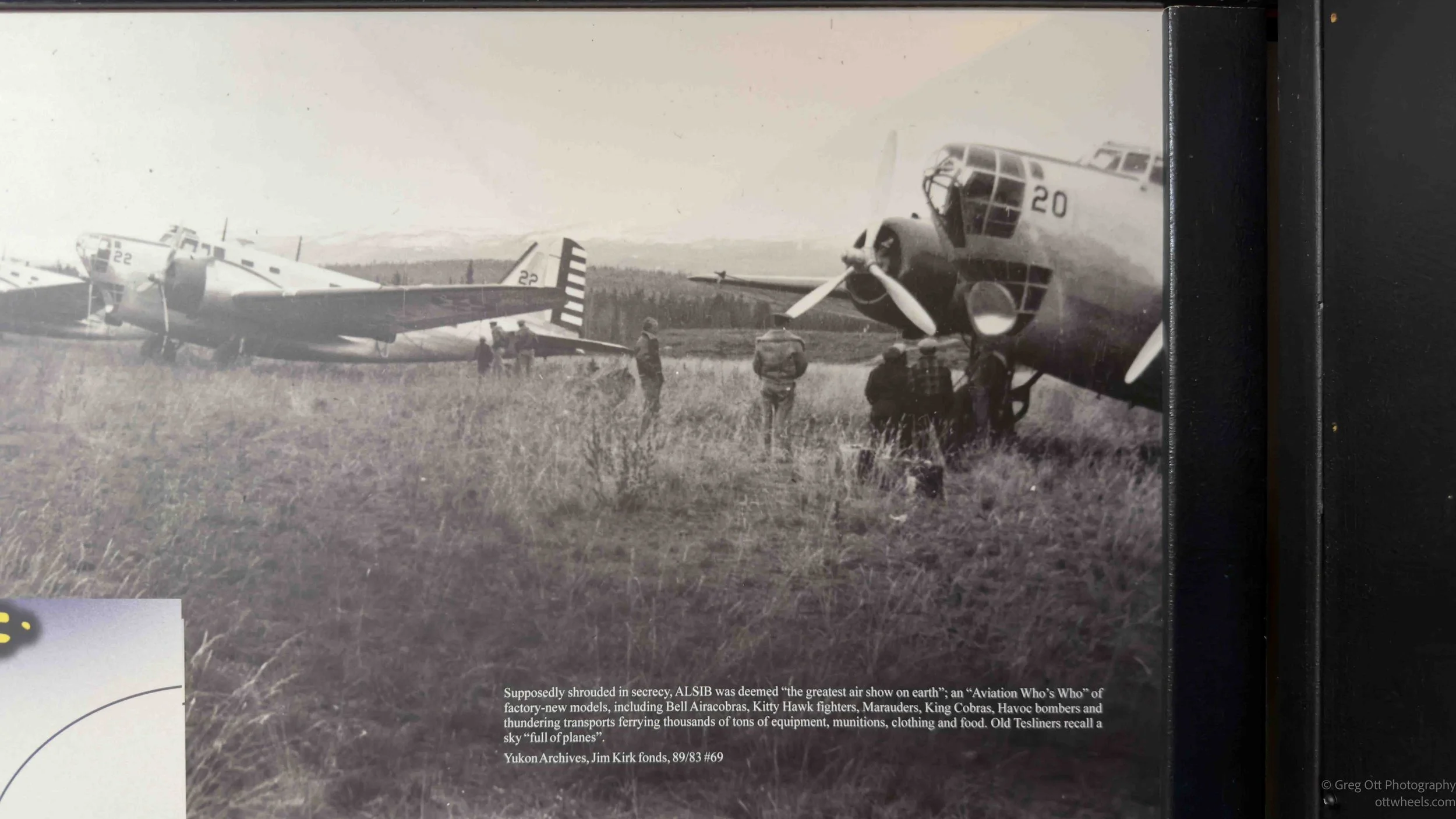
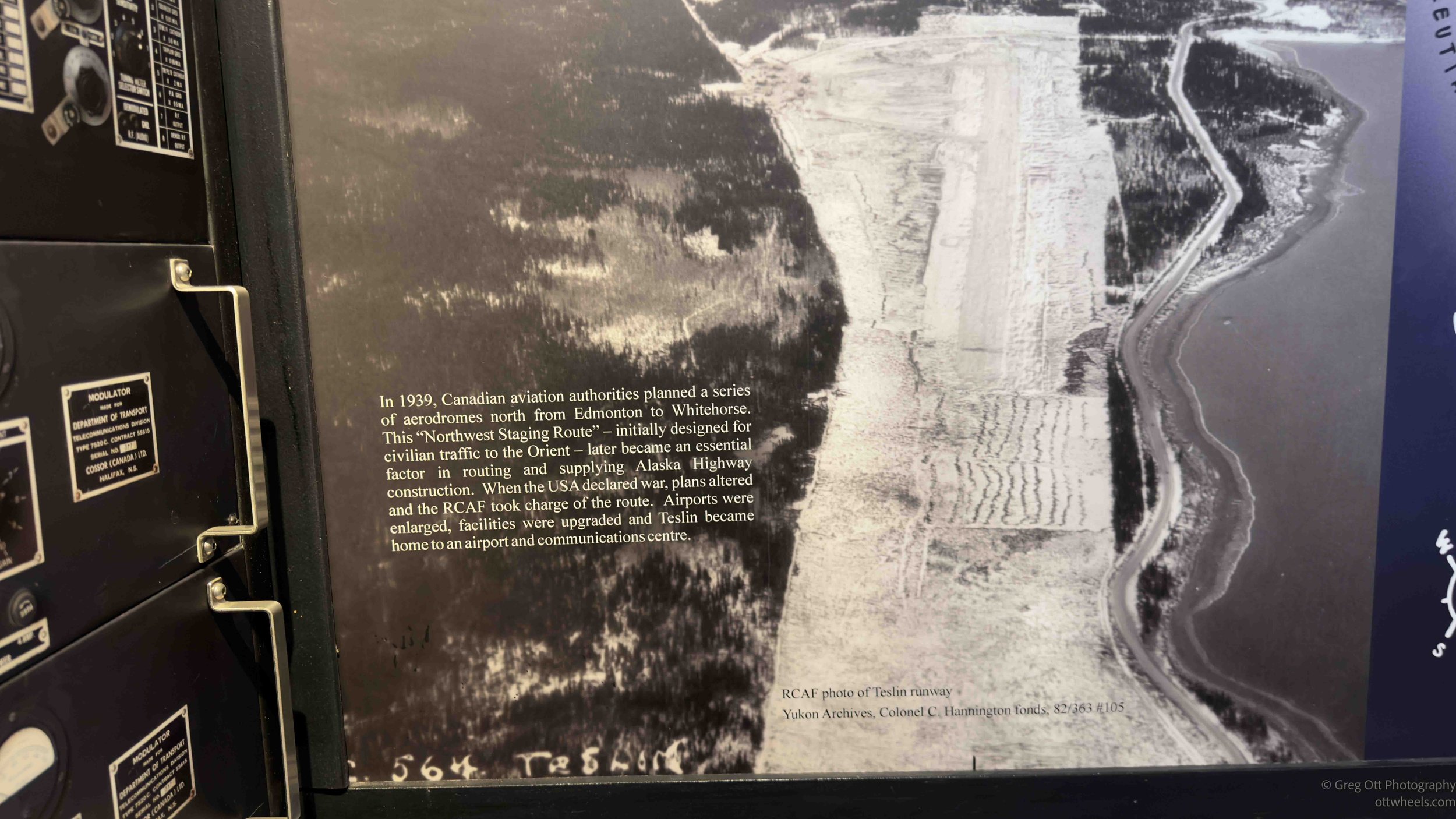
During the war, aircraft were constantly moving north along the Northwest Staging Route carrying planes, equipment, fuel, and supplies toward Alaska and eventually onward to Russia through the Lend-Lease program. Flights through the north depended heavily on weather reports, radio communication, navigation updates, and coordination between isolated stations like this one in Teslin. I learned that radio navigation beams were established along parts of the route so pilots could follow overlapping radio signals through the wilderness. By monitoring changes in signal strength and tone, pilots could tell when they were drifting off course. Before systems like this existed, flying through the north could be incredibly dangerous. Pilots dealt with storms, cloud cover, mountain terrain, freezing temperatures, and endless stretches of forest with almost no landmarks at all. Quite a few aircraft disappeared in those early years.
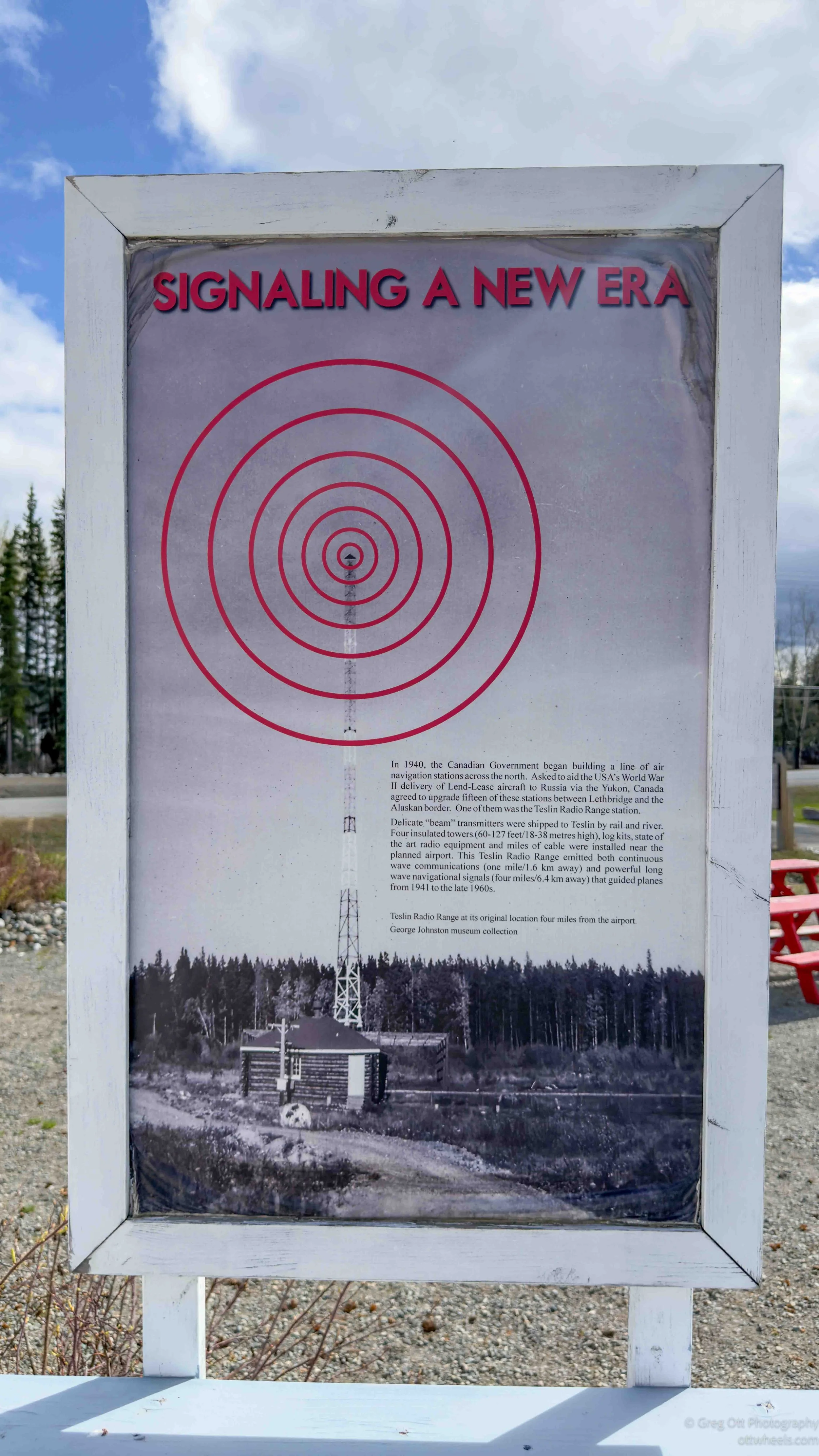
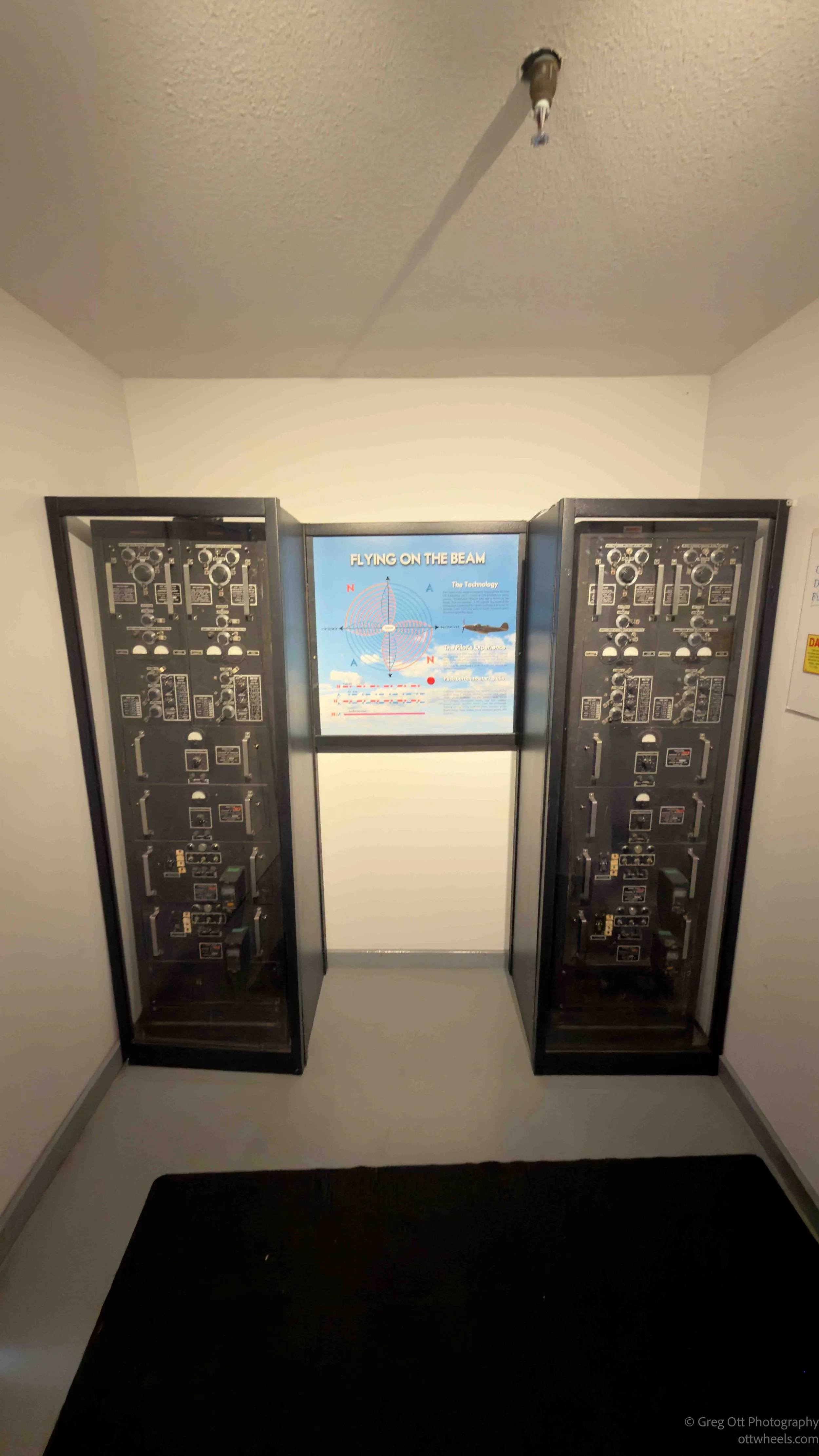
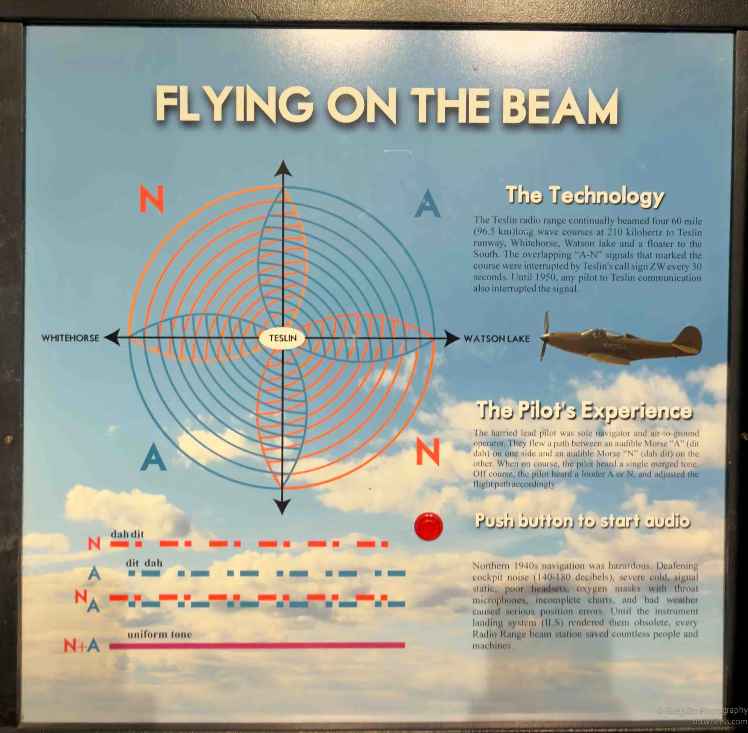
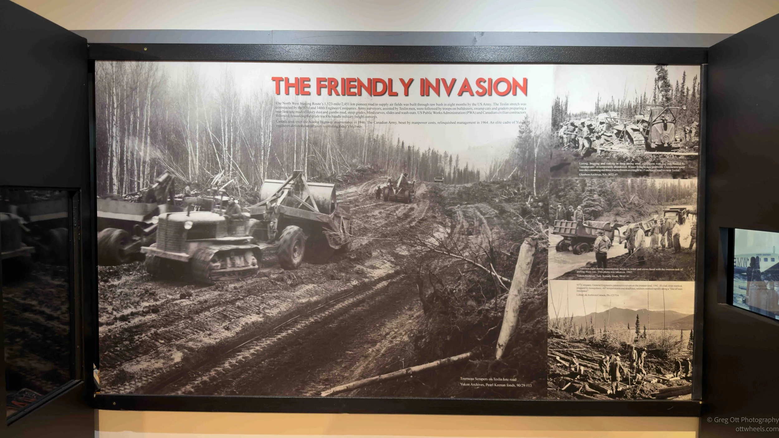
Standing there looking at that plain utilitarian building beside the museum, it was strange realizing that this quiet little town once played a role in guiding wartime aircraft through some of the harshest and most remote terrain in North America. Today Teslin feels calm and isolated, but during the war it was connected to a huge international effort involving Alaska, Canada, the United States, and even Russia. It is one thing to read about that history in a book, but it feels very different when you suddenly find yourself standing in one of the places where it actually happened.
At the end of the day, I tried to get a site at the Teslin provincial campground. It was only C$10 a night, but there wasn’t a single person anywhere around to actually take my money. I only had a C$50 bill and had no way to get change. There was a QR code at the entrance that supposedly helped with registration, except it didn’t work. I then tried the online reservation system, which somehow did not even list the Teslin campground at all. Apparently the campground exists physically, just not digitally.
After spending far too much time unsuccessfully trying to give the Yukon government ten dollars, I gave up and found a quiet spot in the woods across the street instead.