Drive To Fort Nelson
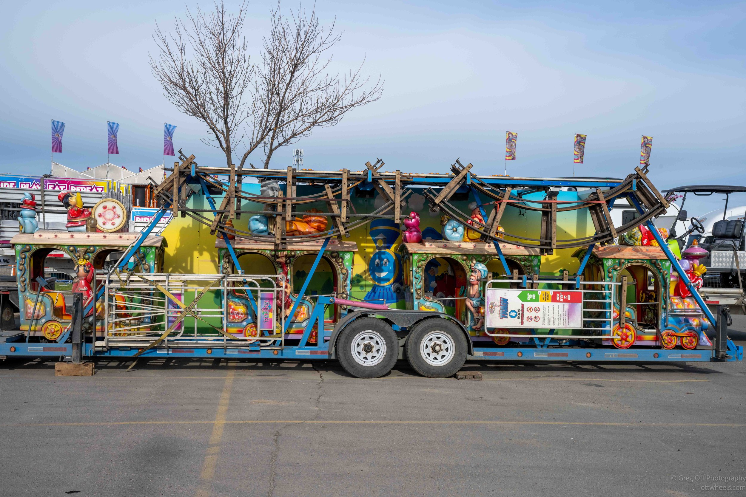
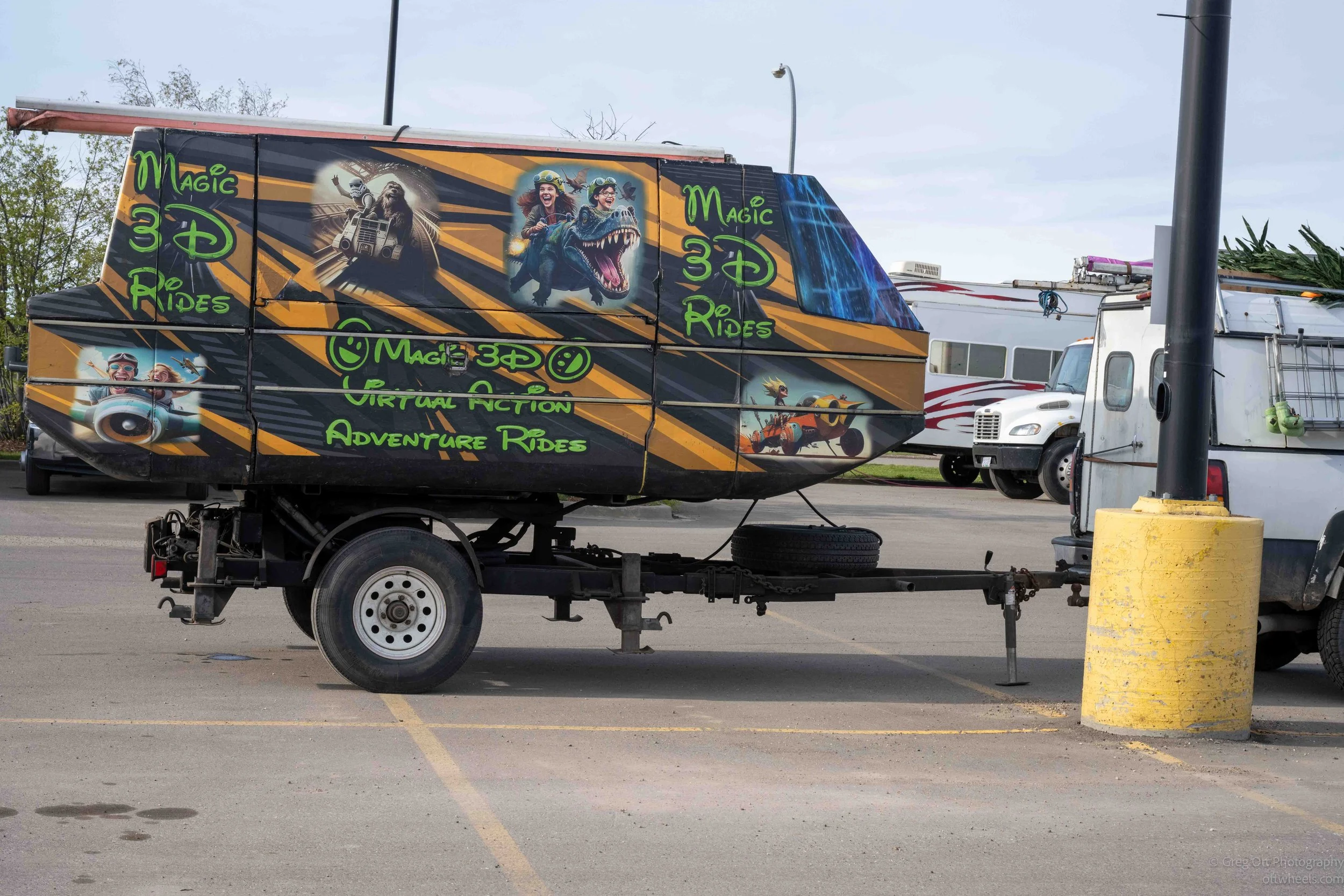
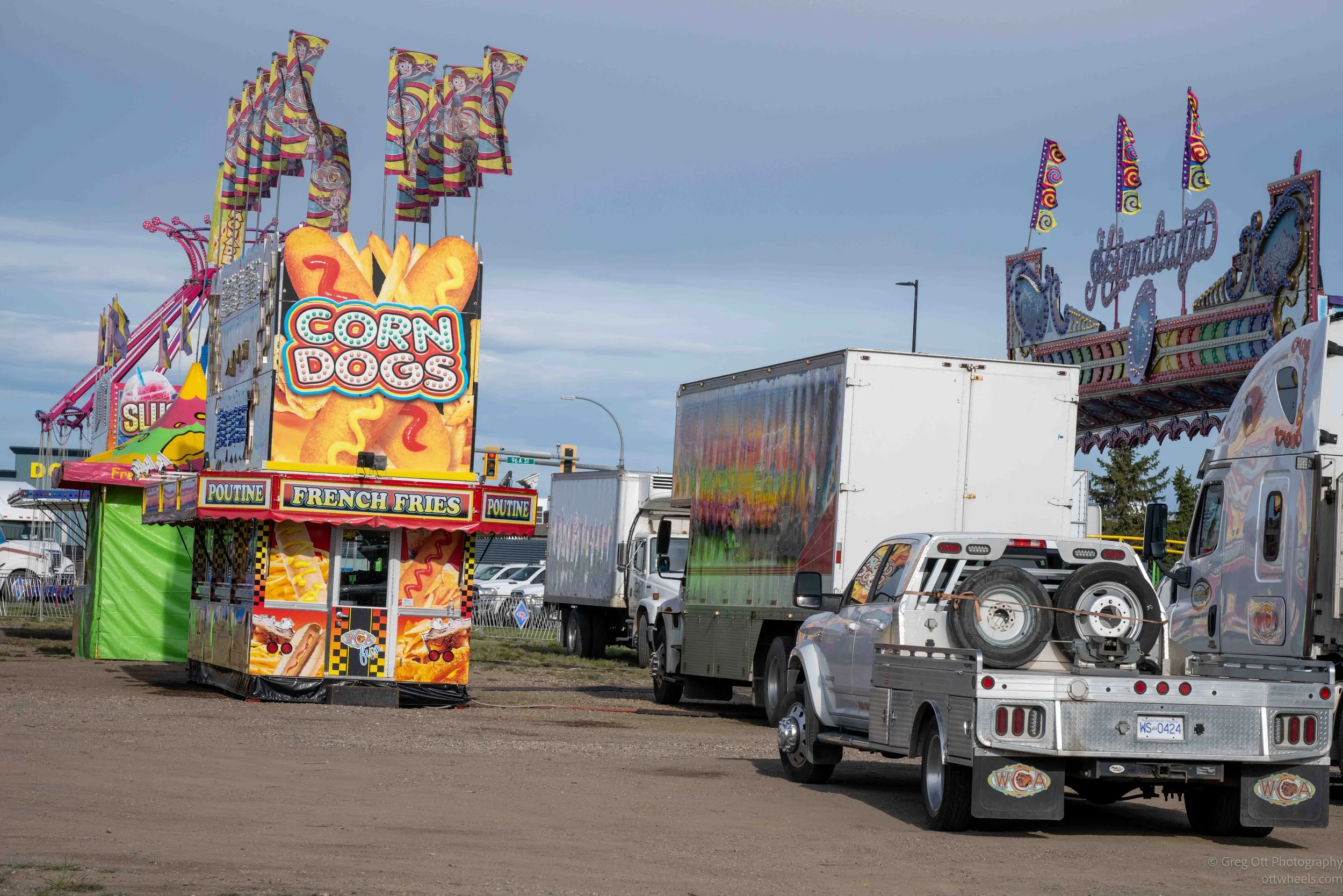
I started the day in the Walmart parking lot beside a sign that read, “3 Hour Parking for Customers Only. No Overnight Parking.” Around me were trucks, trailers, and rides belonging to the carnival that would open Friday evening. Somehow, despite all of it, the night had been almost completely quiet. Before leaving town, I grabbed a few photographs of the area. I already knew this would be one of those long driving days where most of your time is spent staring through a windshield. The more I do these drives, the more respect I have for long-haul truck drivers. Doing this for one day is tiring. Doing it every day for years is something else entirely.

I wasn’t especially hungry that morning, but I needed coffee and some time to figure out the day. There was a Starbucks nearby with plenty of parking, so I settled in there around 8 a.m. The place looked quiet at first, but I quickly realized this town took mobile ordering very seriously. There was a constant stream of people walking in, grabbing drinks off the counter, and heading right back out. Two women near me were discussing an order of nearly 30 drinks, and I realized my single coffee was buried somewhere behind that mountain of cups and stickers. Nearly 30 minutes later my name was finally called, and I could feel my entire body relax knowing caffeine was finally within reach.
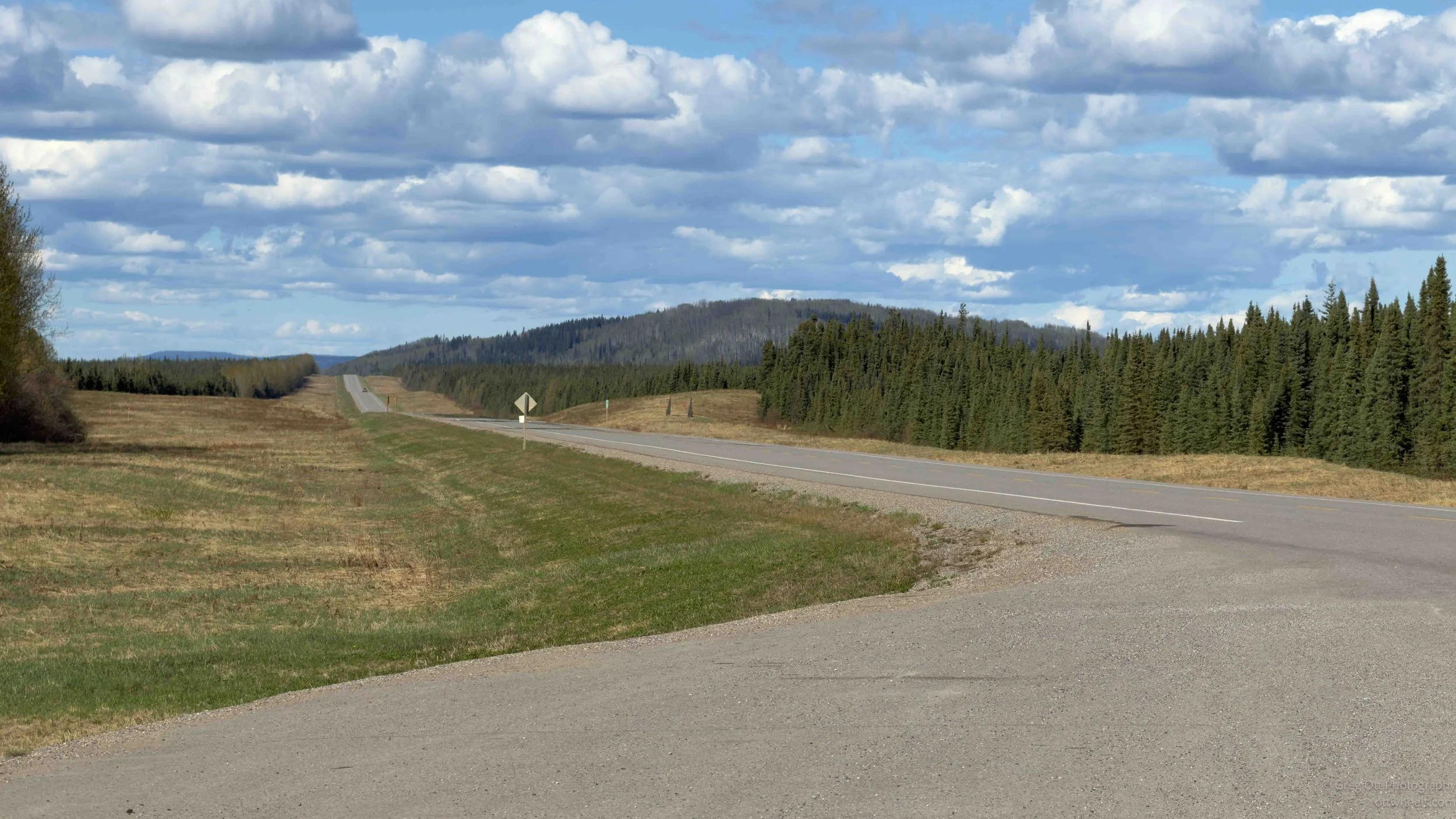
The drive north toward Fort Nelson is one of those stretches of highway where the distances begin to feel very real. Google estimated about five hours, but I knew from experience it would be much closer to eight once I factored in fuel stops, photography, construction delays, slower driving, and the simple reality that you can only stay fully locked in behind the wheel for so long. Northern British Columbia feels very different from driving through places like Montana or the Dakotas. Down there, there are usually steady streams of traffic, regular towns, and constant reminders that civilization is always nearby. Up here, the spaces between communities feel much larger. The road cuts through endless forest, wetlands, rivers, and long empty stretches where you can drive for extended periods without seeing much at all. The farther north you go, the more the trip begins to feel like an actual expedition instead of just another highway drive.
About 30 minutes into the drive, I came across a large moose lying beside the road. It looked like it had been struck by a transport truck. Periodically, I would also spot small black bears feeding near the edge of the woods just off the highway. Over the previous two days alone, I had already seen a grey wolf on two separate occasions, several bears, mule deer, and now the dead moose. The amount of wildlife up here changes the entire feel of the drive. You pay attention differently because the landscape no longer feels empty, even when there are no people around. There’s a constant awareness that the forests beside the highway are very much alive.It’s May, and the insects are beginning to emerge. At one point I pulled into a gas station because the windshield had become so covered with dead bugs that visibility was starting to suffer. Whatever they put in those windshield wash buckets up here deserves an engineering award. It cut through dried insects almost instantly. I’ve never seen anything work that well.
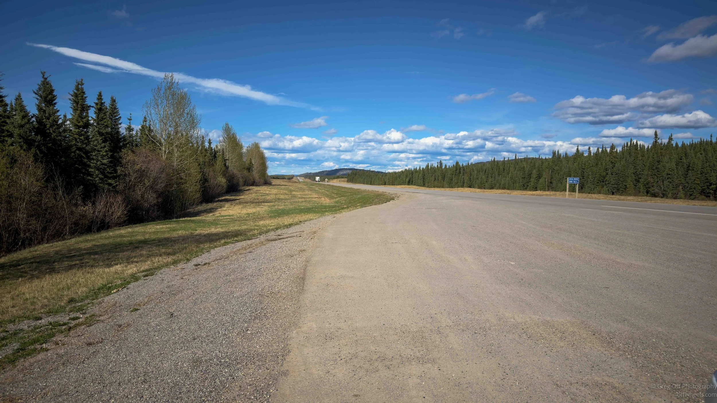
Winter damage was still obvious along sections of the highway. Some parts of the road had partially washed out and hadn’t yet been fully repaired. The warning signs would start miles ahead. First came reduced speeds, then rough pavement warnings, then eventually the limit dropped to 50 kph and finally 30 kph. Even at that speed, the road was rough enough that approaching trucks nearly slowed to a crawl passing through the damaged sections.
Fort Nelson exists largely because of where it sits. It began as a historic fur trading area and later became an important stop along the Alaska Highway during World War II when the road was rapidly constructed to connect the continental United States to Alaska. Even today, the town feels tied directly to transportation and resource industries. It serves as both a service center for travelers heading north and a support hub for the surrounding natural gas, forestry, and power industries. It’s remote enough that you immediately understand why communities like this become so self-contained. People here are far from major cities, and the town has to function as a regional center for a massive surrounding area.
When I arrived, I spent some time driving around looking for a place to stay. My camping apps mainly showed RV parks, and most of them looked expensive for what they offered. The town itself felt practical and working-class. The homes were generally small, close together, and modest, but most appeared well maintained. A surprising number had RVs, trailers, or utility vehicles parked in the driveway. It gave the impression of a community where people are constantly coming and going for work, travel, hunting, or recreation.
If I hadn’t intentionally turned off the highway, I probably would have assumed Fort Nelson was little more than a long strip of hotels, gas stations, and services for travelers. The Alaska Highway effectively becomes the town’s main street. There were only a couple grocery stores, including an IGA where I stopped to restock supplies. I was running low on several things and took the opportunity to refill before heading farther north where services become even more limited.
When I came back out of the IGA, a man was climbing off a motorcycle nearby. I noticed the plate and realized he was from Brazil. He didn’t speak English, German, or French, but he did speak Portuguese and some Spanish. We tried to communicate anyway. Between gestures, broken Spanish, and a few scattered words, I understood that he had ridden all the way from São Paulo and was heading toward Alaska. Standing in a grocery store parking lot in northern British Columbia talking to a motorcyclist from Brazil somehow captured exactly what the Alaska Highway is. People from all over the world end up out here chasing the same idea of the north.
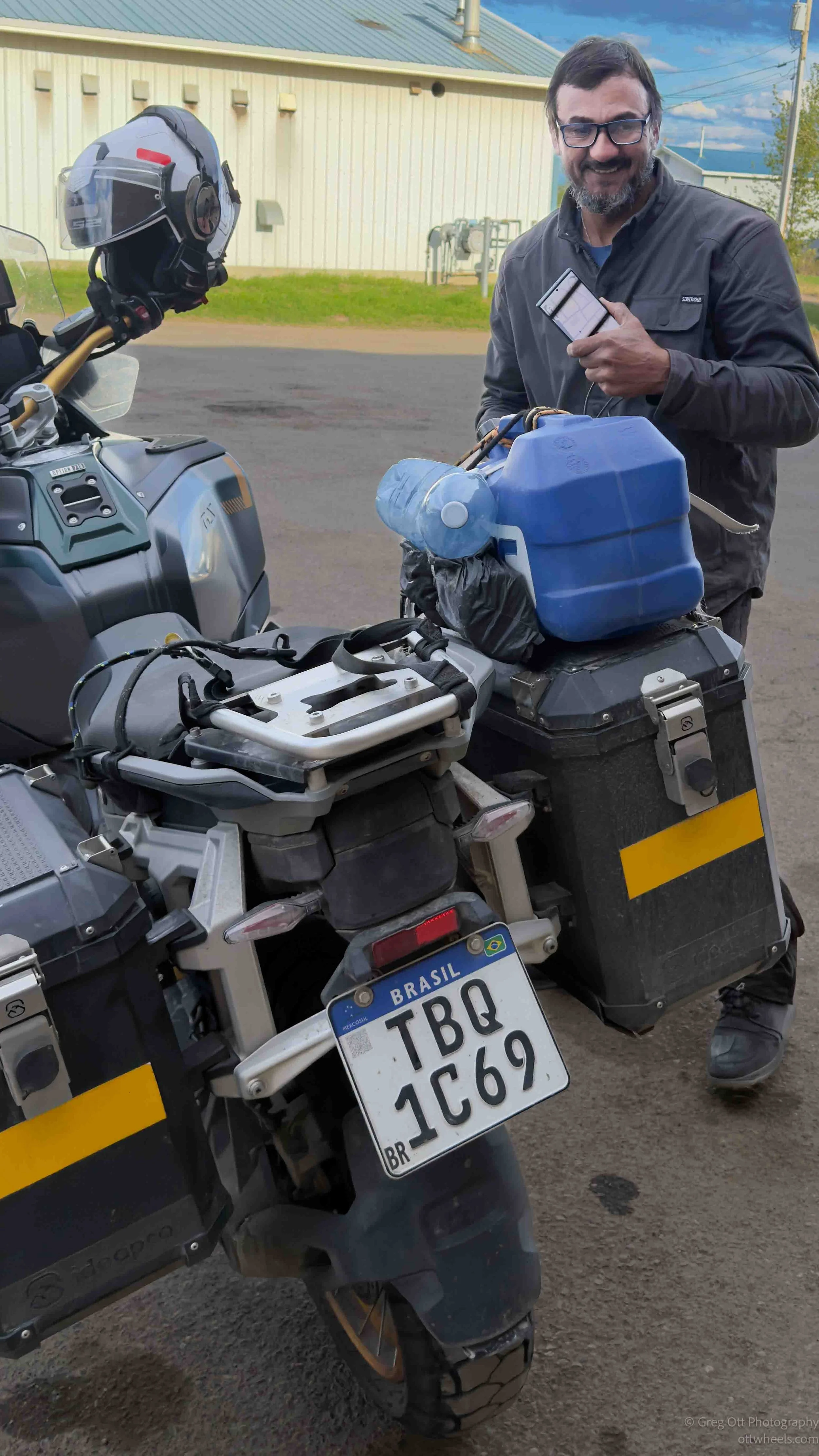
When I came back out of the IGA, a man was climbing off a motorcycle nearby. I noticed the plate and realized he was from Brazil. He didn’t speak English, German, or French, but he did speak Portuguese and some Spanish. We tried to communicate anyway. Between gestures, broken Spanish, and a few scattered words, I understood that he had ridden all the way from São Paulo and was heading toward Alaska. Standing in a grocery store parking lot in northern British Columbia talking to a motorcyclist from Brazil somehow captured exactly what the Alaska Highway is. People from all over the world end up out here chasing the same idea of the north.
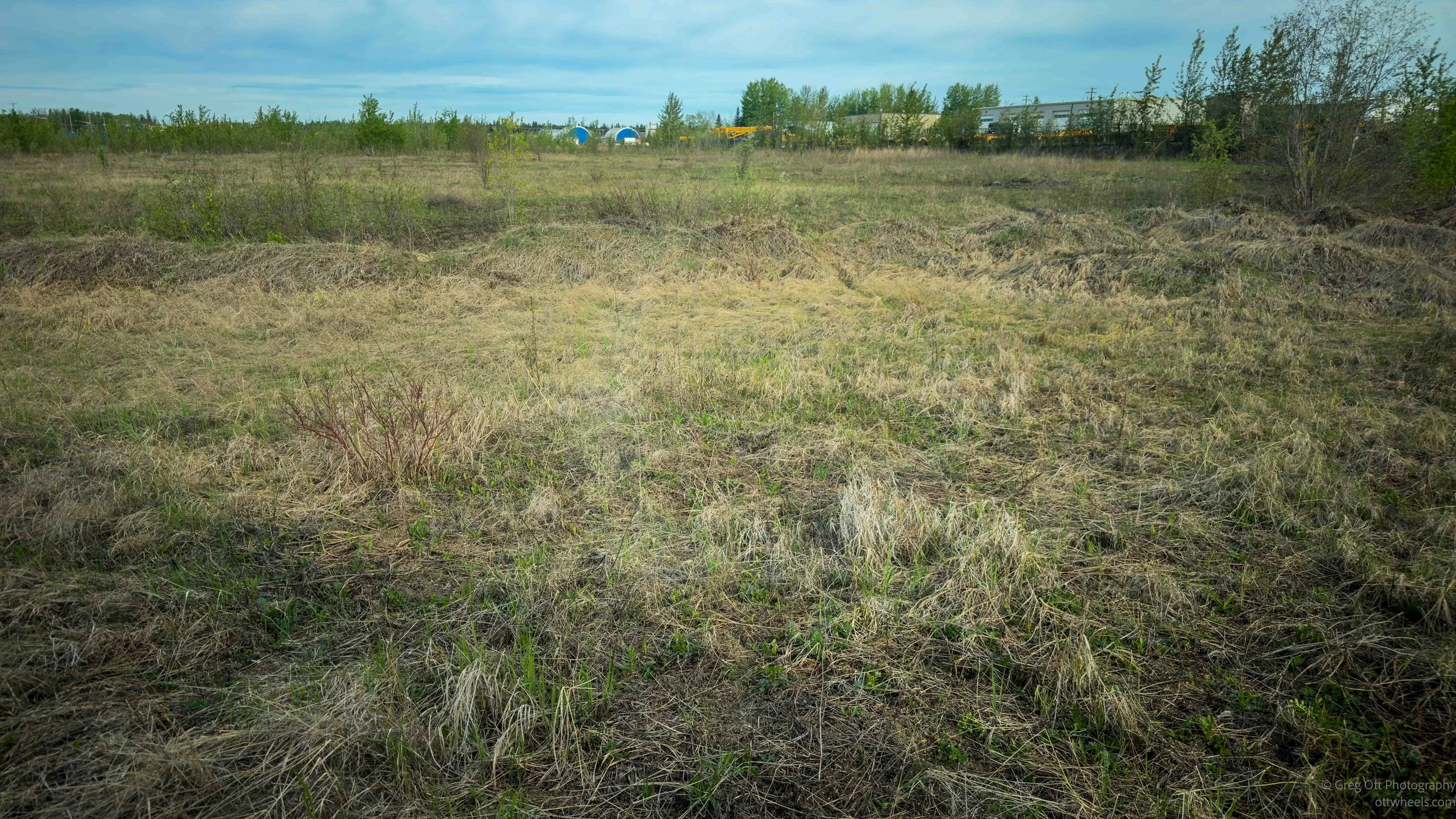
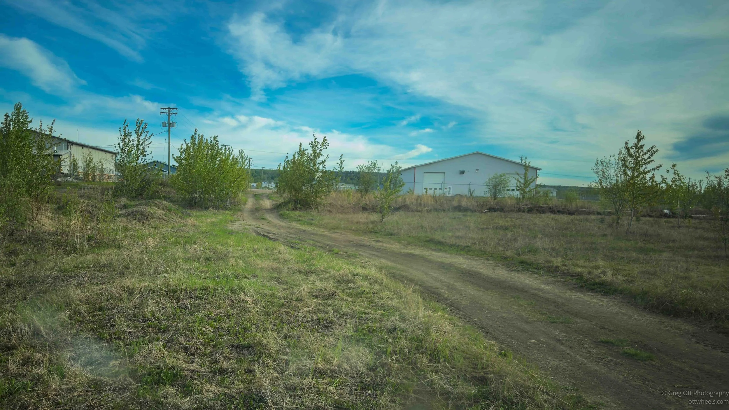
On the far side of the highway from the residential area was a small industrial section of town. I drove through it for a while before spotting a dirt road leading away from the developed area. It turned out to be an ATV trail system with various side routes cutting off into the woods. Nearby was a dry grassy clearing, and I pulled in for the night. Before committing, I checked the weather carefully. The ruts in those dirt roads would become a muddy disaster if it rained overnight. The forecast showed clear skies for the next several days, so I settled in.
By 10 p.m., the sky was finally beginning to darken, but there was still enough light that I could clearly see the landscape around me. Far north evenings linger for a very long time this time of year. Darkness never arrives all at once.