Dawson City
I spent the night at Walker Creek BLM Campground, about an hour from the Canadian border. Around 5 a.m., my neighbors climbed into their Jeep and headed out to go moose hunting. Their muffler made a very loud statement as they pulled out of the campground, announcing their departure to me, everyone else within a few miles, and presumably every moose in the Yukon. I always thought hunting involved being quiet and not giving away your position, but apparently their strategy was to let the moose know they were coming and give them a sporting head start.
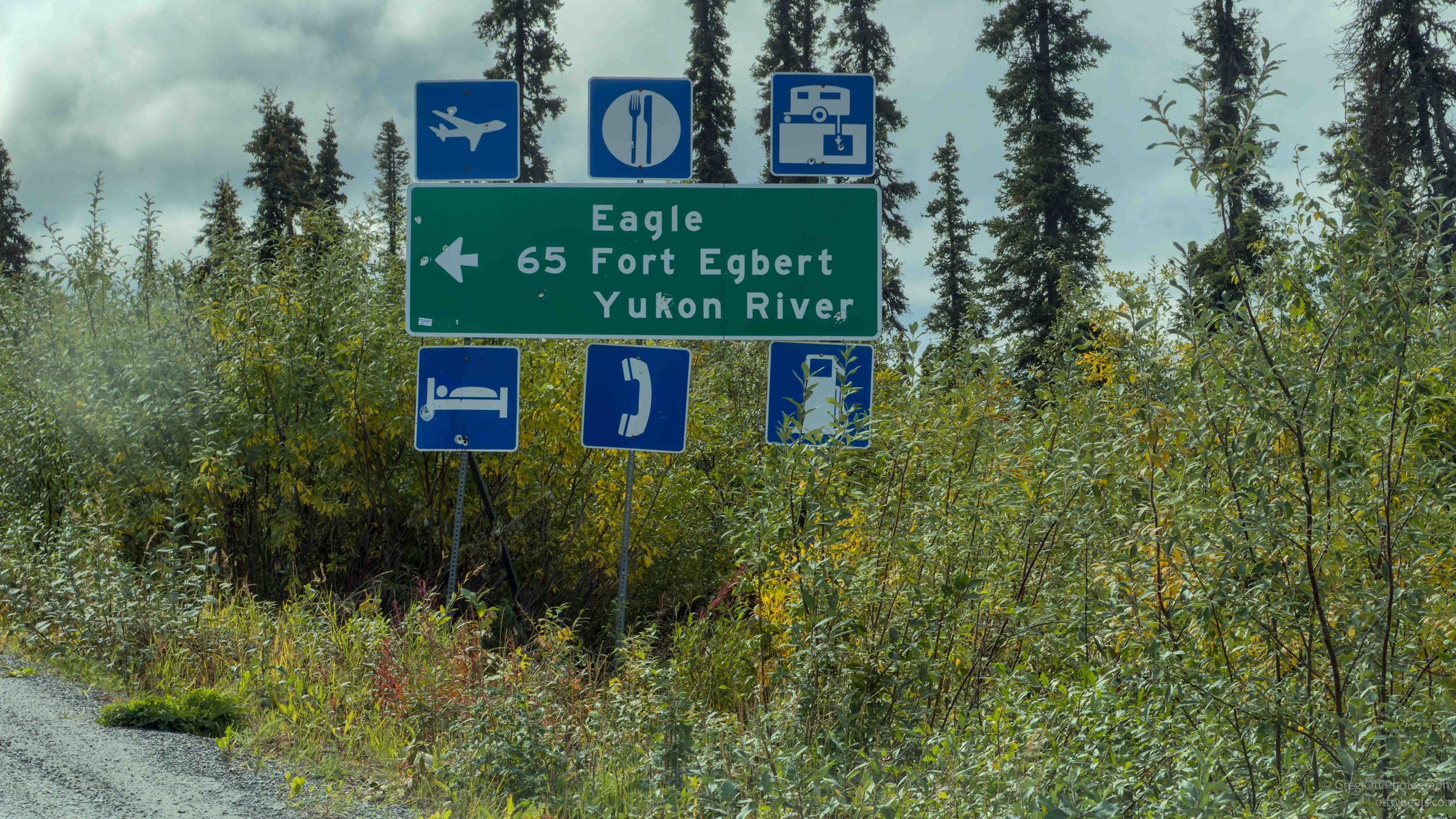
I was about an hour to the border on mostly dirt roads. I passed a sign for Eagle, a town that came up last night while I was reading Coming Into The Country.
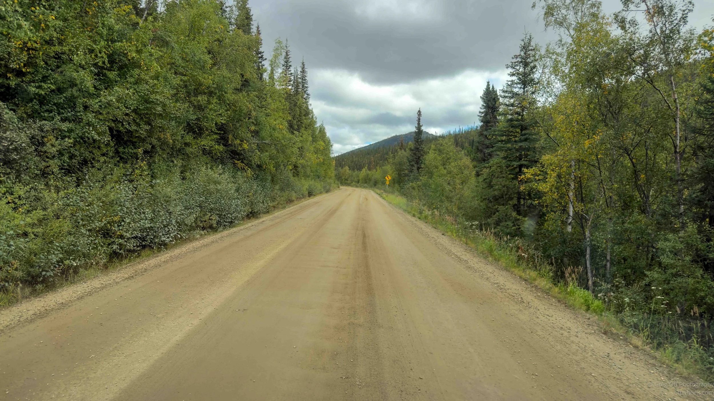
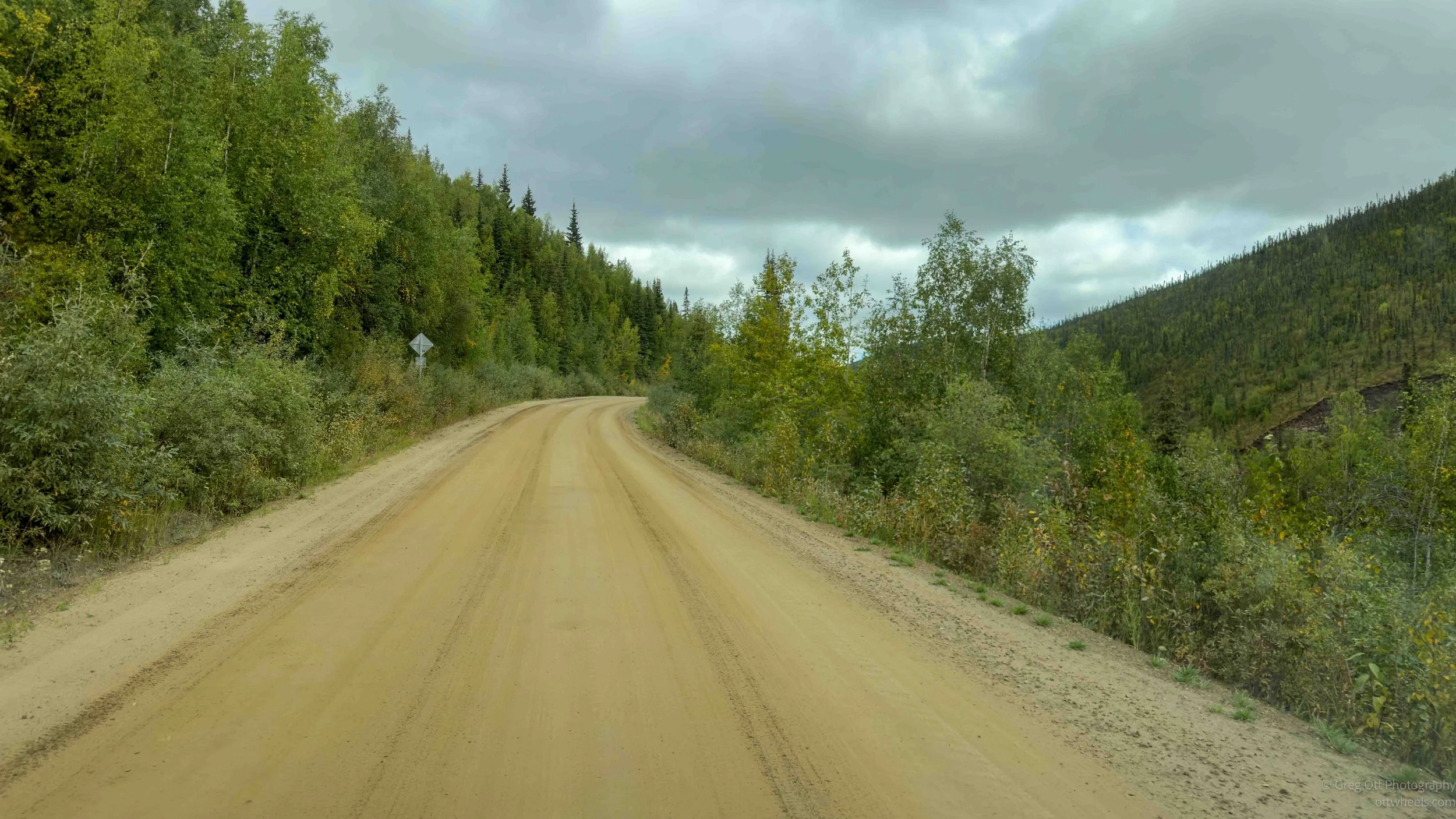
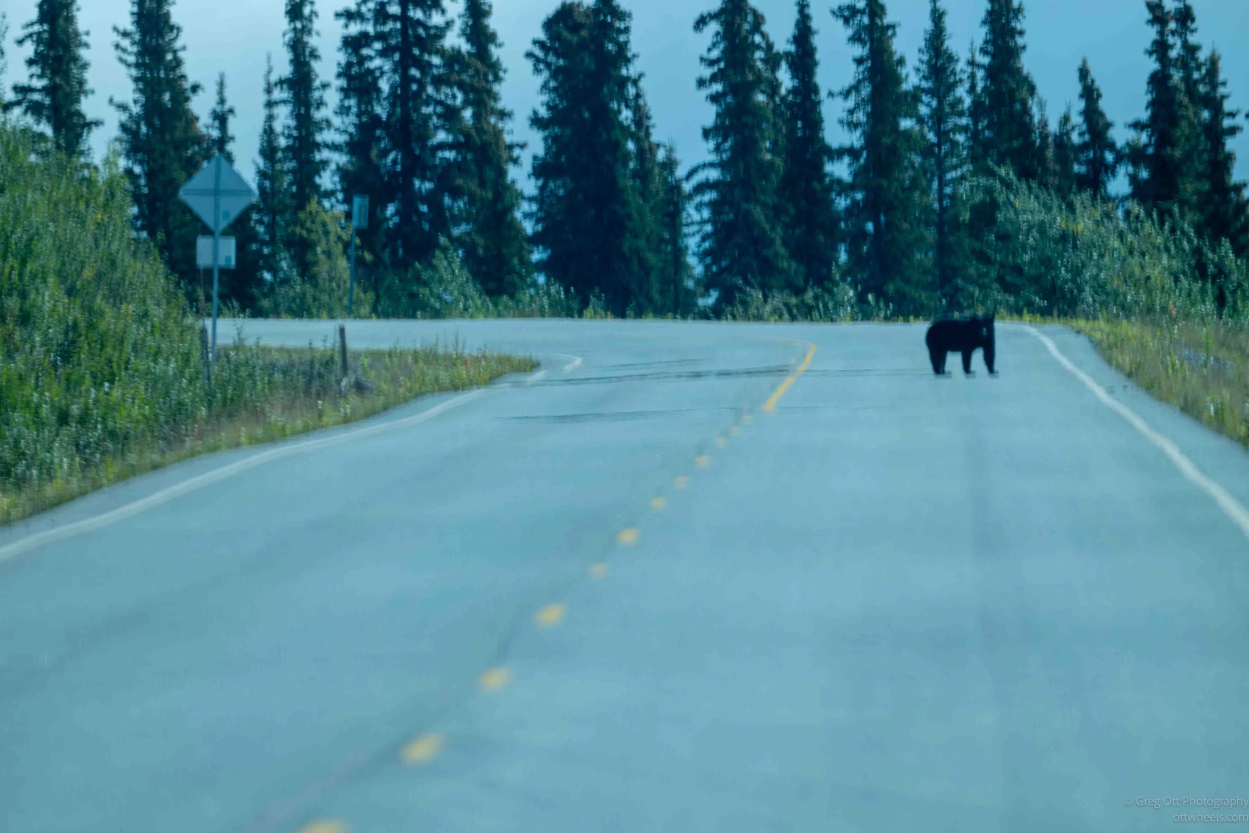
I was about two miles from the Canadian border, climbing a steep hill, when I noticed a dark mass lying on my side of the road. I couldn’t quite tell what it was, so I reached for the camera and used the long lens to get a better look. Just as I turned it on, the dark mass stood up and looked back at me. A bear. That answered that question rather quickly.
I assumed it had discovered one of the rare stretches of pavement and was lying there soaking up the warmth. Apparently, even the bears were tired of the dirt road. It stood there for a moment looking at me, probably wondering why I had interrupted a perfectly good morning nap just to take its picture.
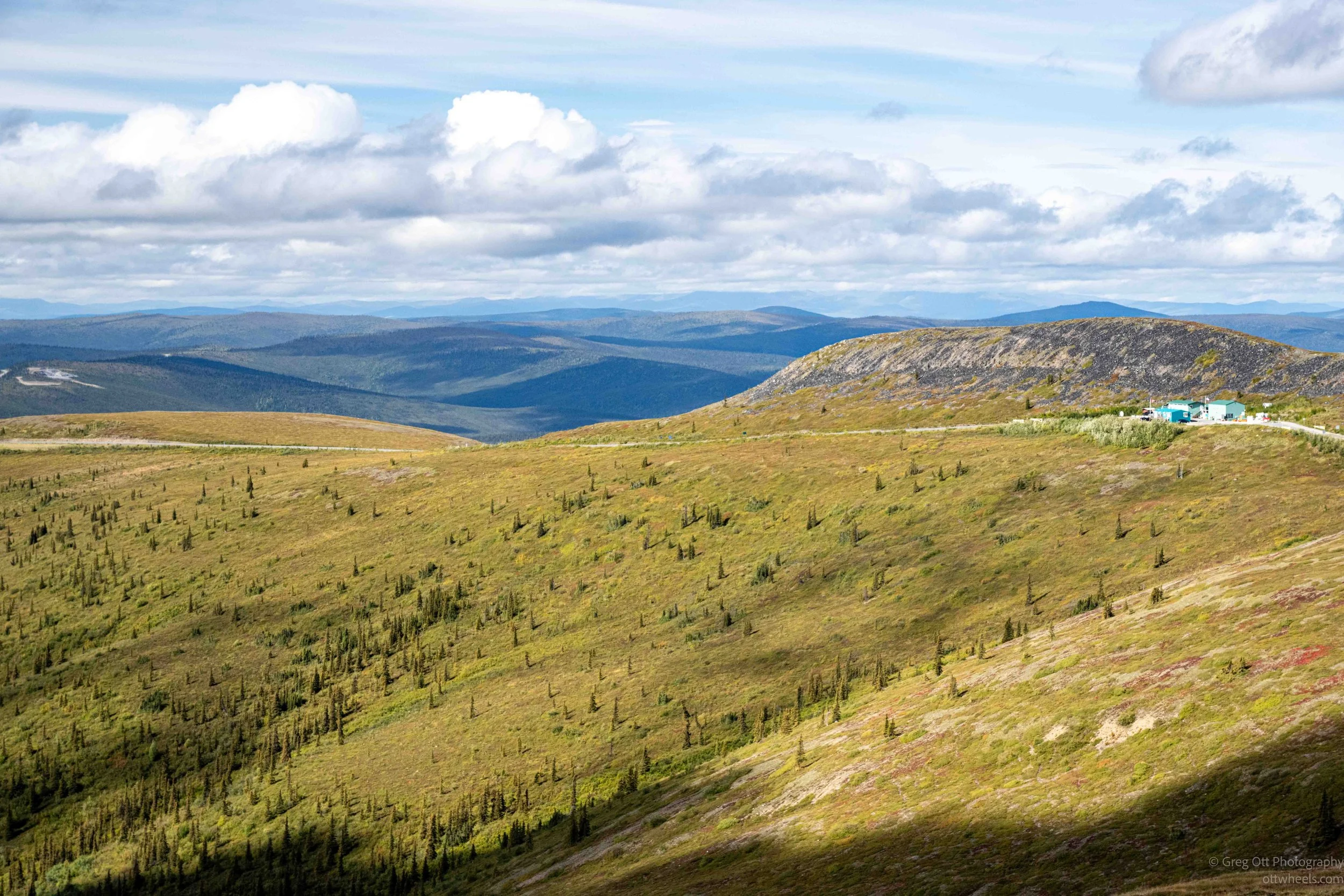
Then the dirt road continued almost to the Canadian border. A few hundred yards before the customs station, there was an overlook, so I pulled in to take a few photos. Six motorcyclists from Europe were stopped there as well. They were from several different countries, all friends, and had a guide taking them through Canada and Alaska. Their next big adventure was the Dalton Highway.
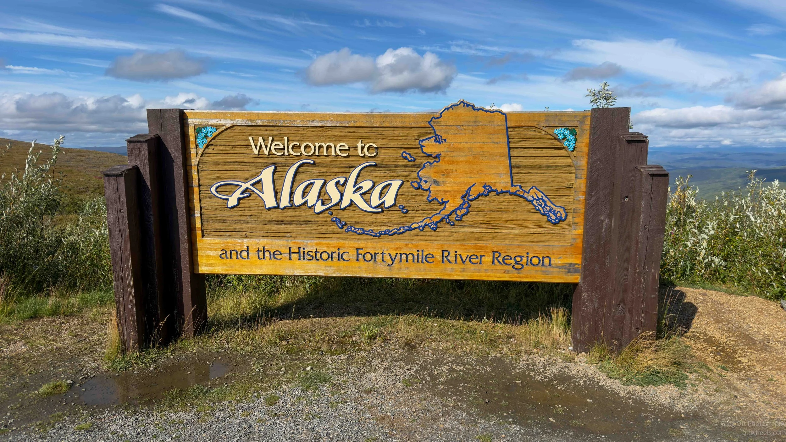
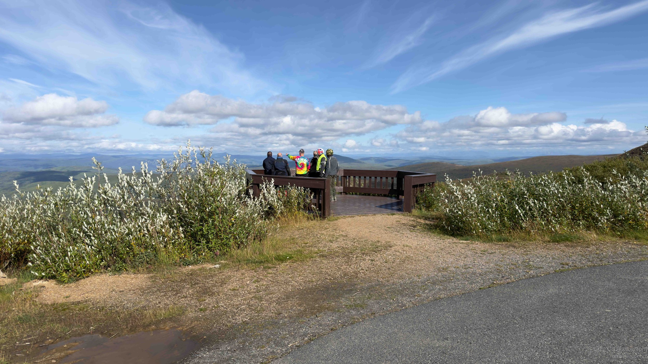
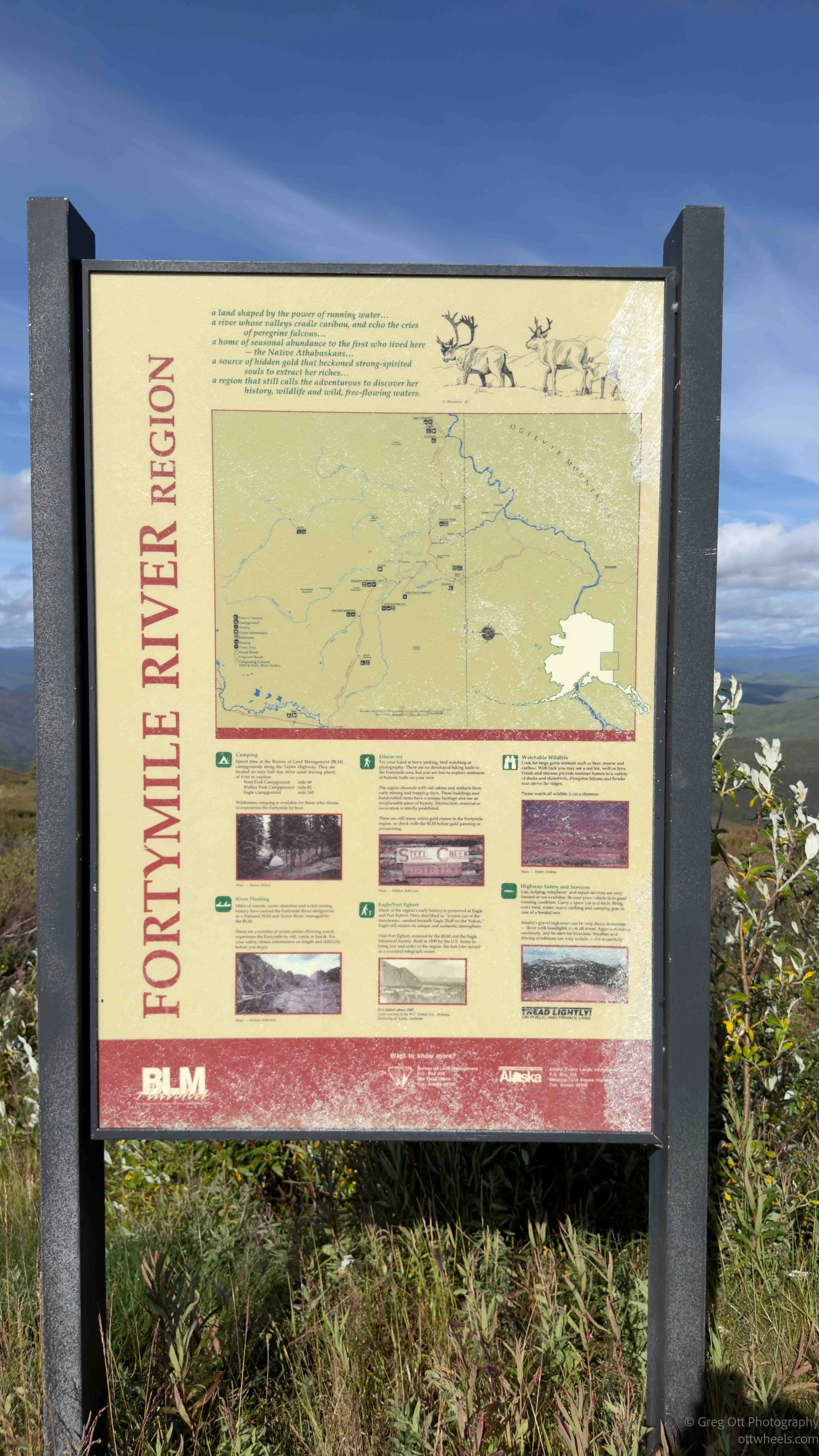
I started talking with one of the riders from Belgium and told him how much I loved his country, particularly the food and beer, and what I consider Belgium’s three C’s: chocolate, cheese and coffee. Basically, I had reduced his entire country and culture to things I like to eat and drink. Fortunately, he seemed to agree with my assessment. He said he appreciated the food too, but what he really liked about traveling in North America was the openness—the enormous amount of space and how far you could travel without running into much of anything. I suppose that was a fair trade.
Canadian Customs
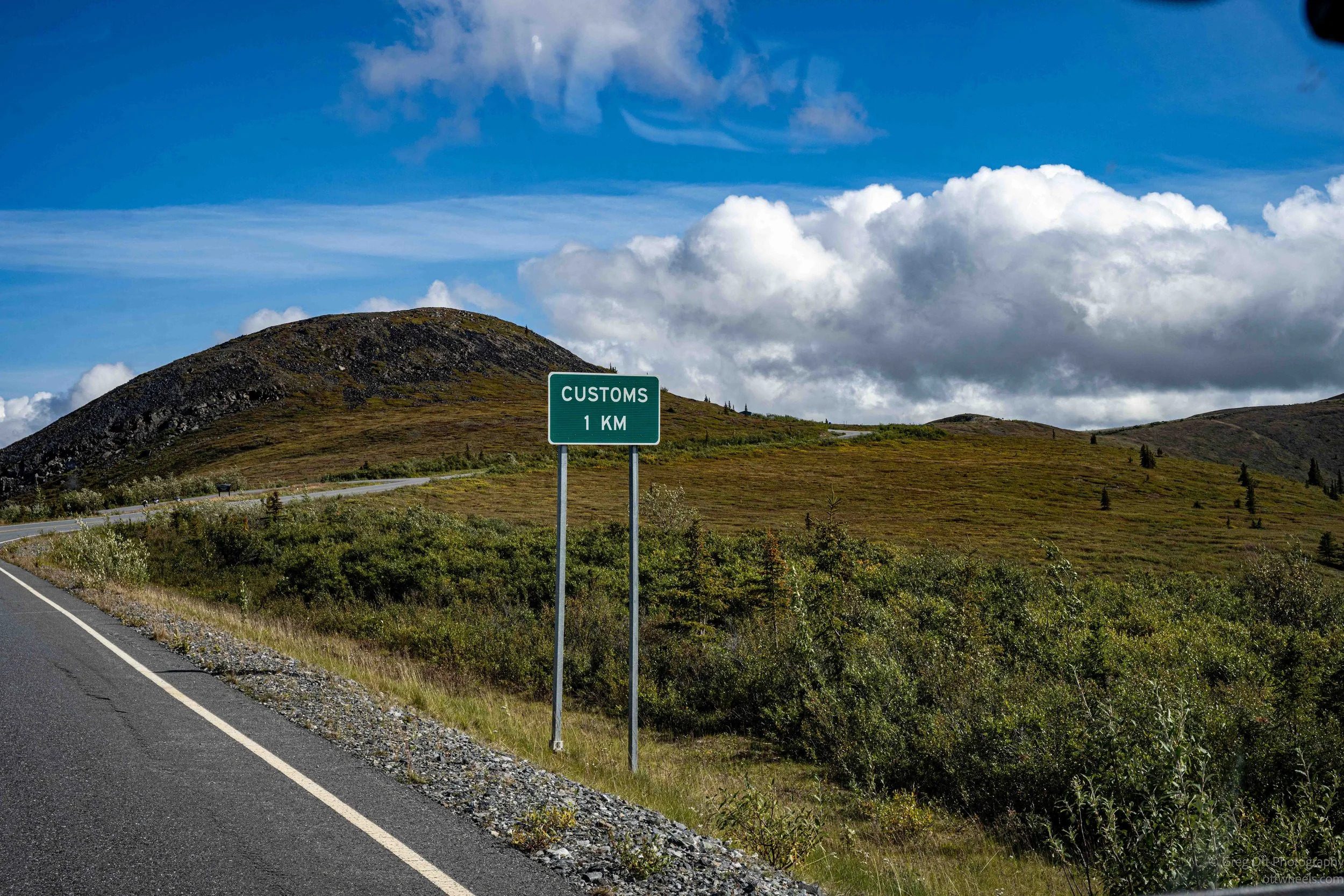
There aren’t exactly lines at the border in this part of the world. Traffic between Tok and the border is minimal, and even fewer people continue across and make the long drive to Dawson City. You can easily go 30 minutes without seeing another vehicle. When I arrived, the customs officer was standing outside waiting for me. I suppose I was the morning’s entertainment.
He asked me to remove my sunglasses so he could compare me with my passport photo, then asked why I had stopped at the overlook. I pointed to the camera beside me with the long lens attached. “So, you’re a photographer?” he asked. I told him, “There are moments when I think I am, but I’m not sure I’d call myself that. I just like capturing images of what I see.”
He asked where I was headed, and I told him about my trip through all 50 states and the Canadian provinces and that I expected it would take me about two weeks to reach Idaho by way of Edmonton and Calgary. After the usual questions about firearms, alcohol, illegal substances and food, he checked my license plate and entered a few things into his tablet.
Before leaving, I asked if the rest of the road to Dawson City was paved. He smiled and said, “No. They put this short bit of pavement down just to get your hopes up.” It had worked. He wished me a good day, told me to enjoy the views, and sent me back onto the dirt road.
Top of the World Highway
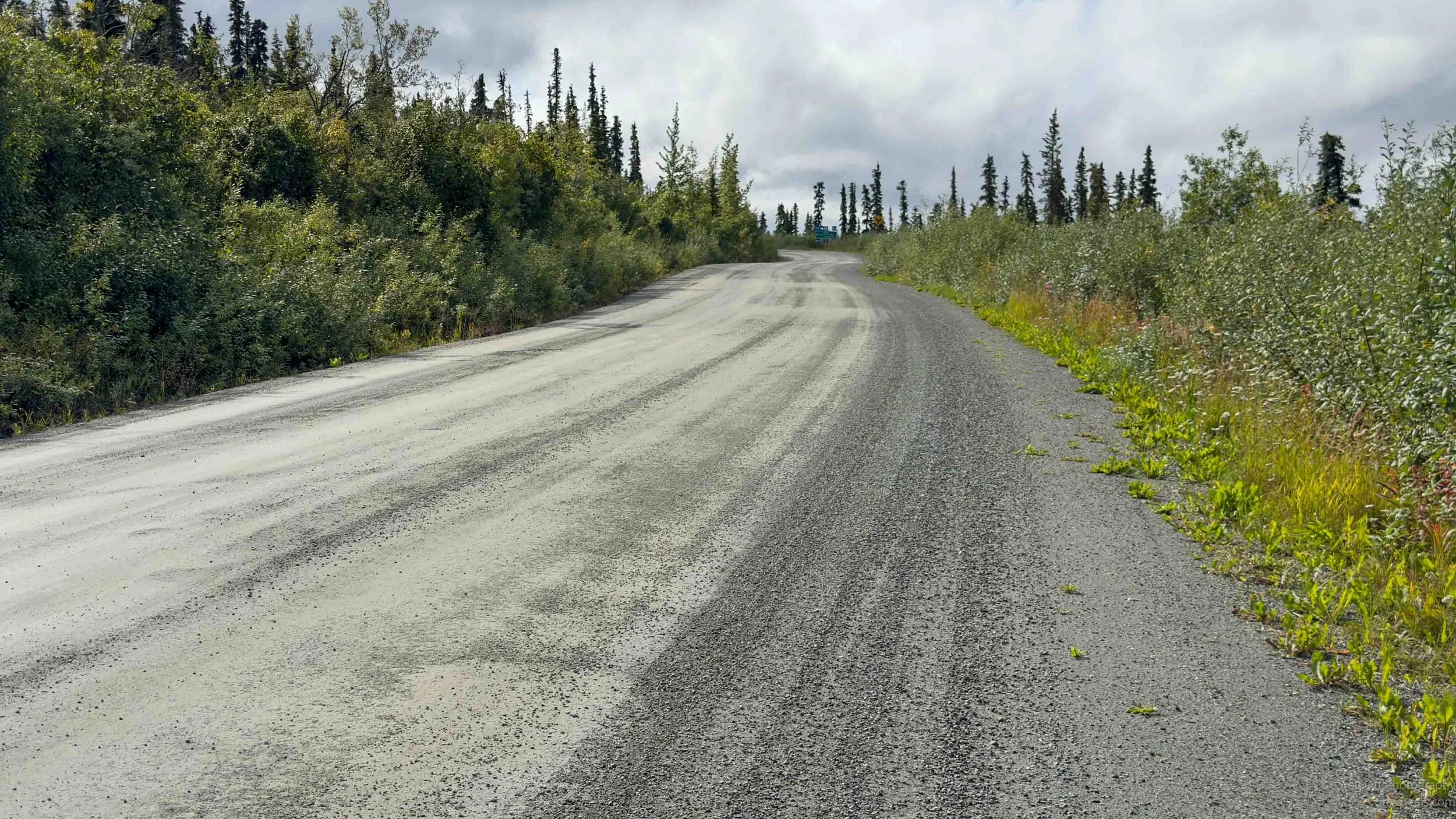
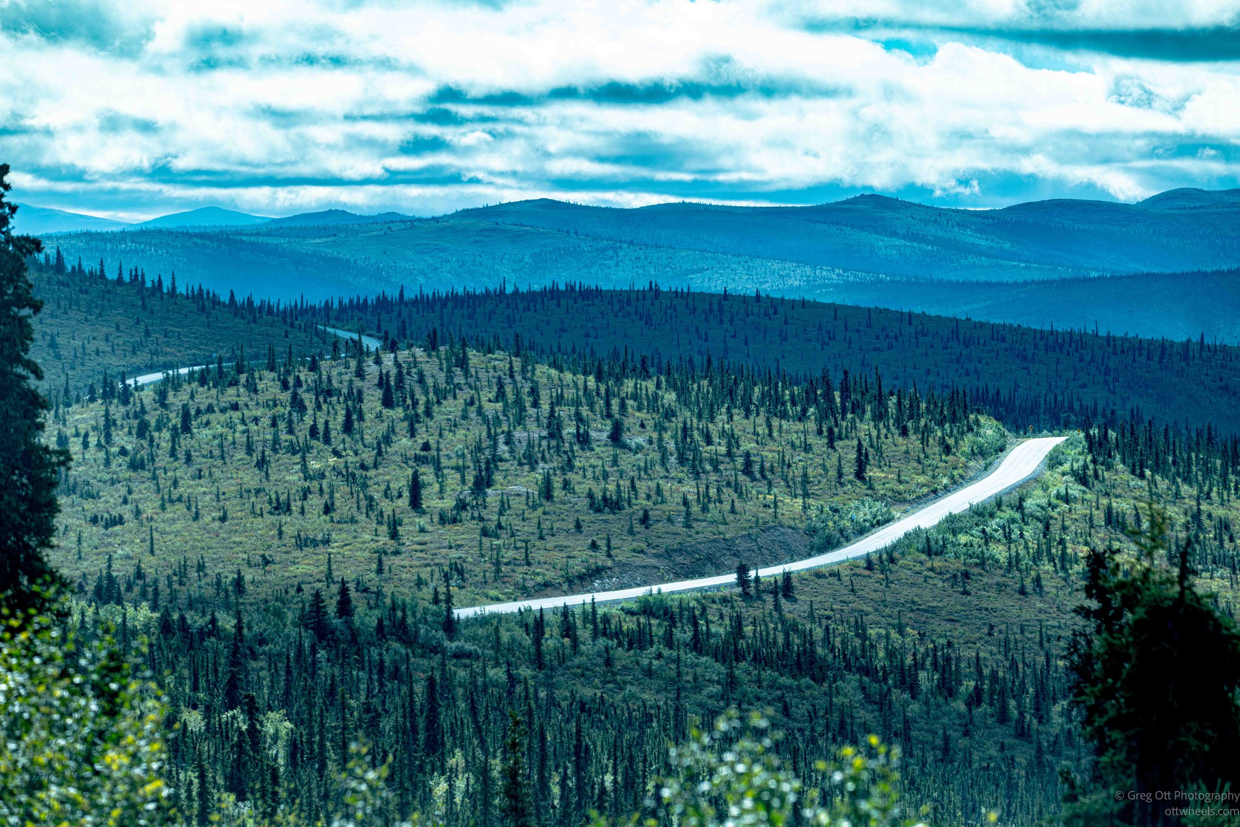
The customs officer was right. The pavement didn’t even last a quarter of a mile before I was back on dirt, but somehow the Canadian side seemed better maintained. The road had been graded and most of the egregious tire destroyers I had been dodging on the Alaska side had been filled in. It was still a dirt road, but at least I could spend more time looking at the scenery and less time studying every approaching pothole for signs that it might swallow a tire.
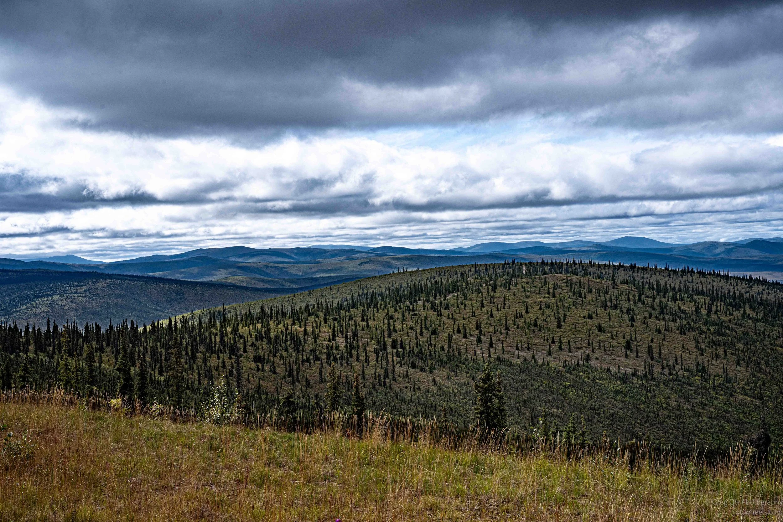
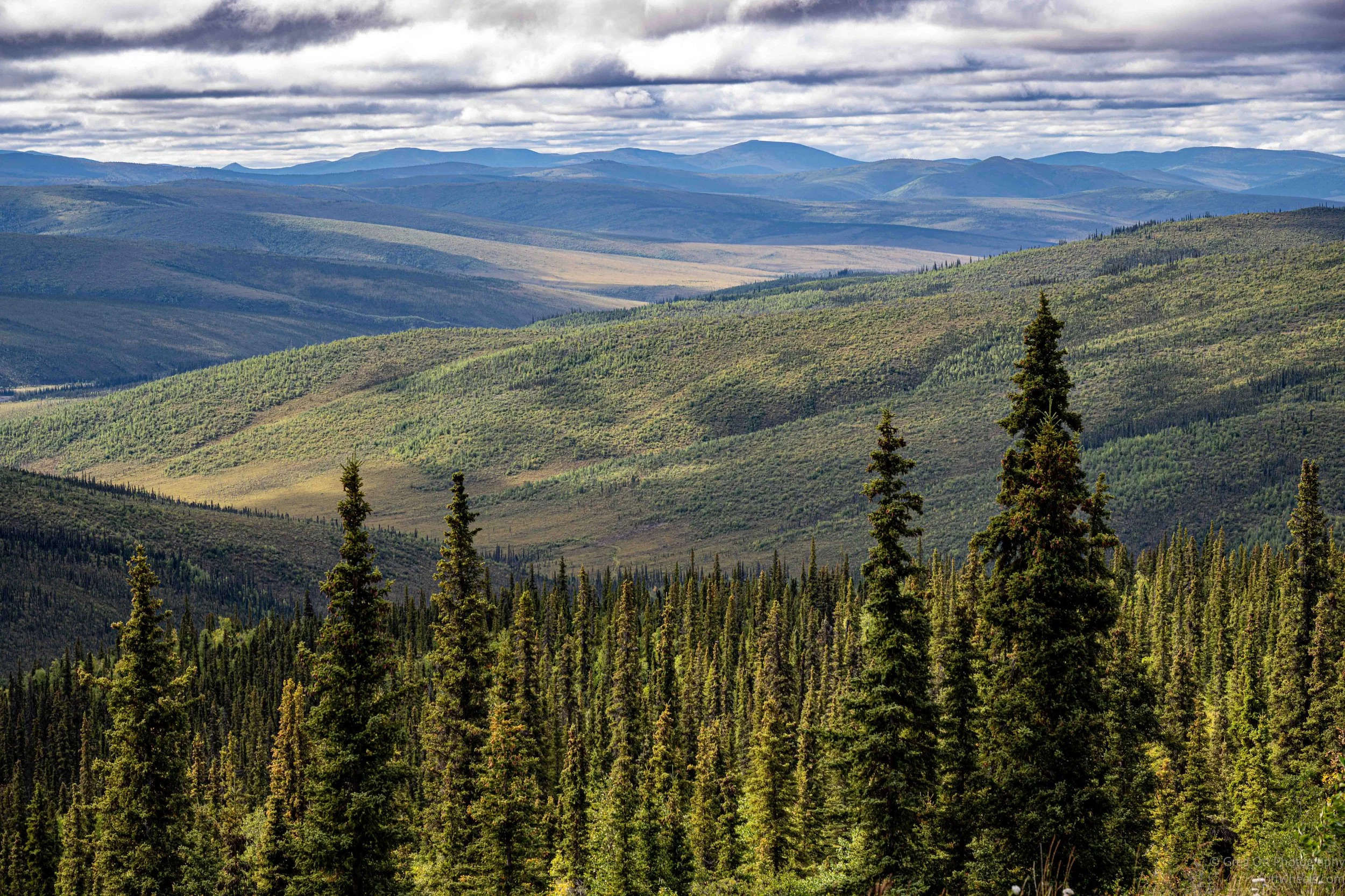
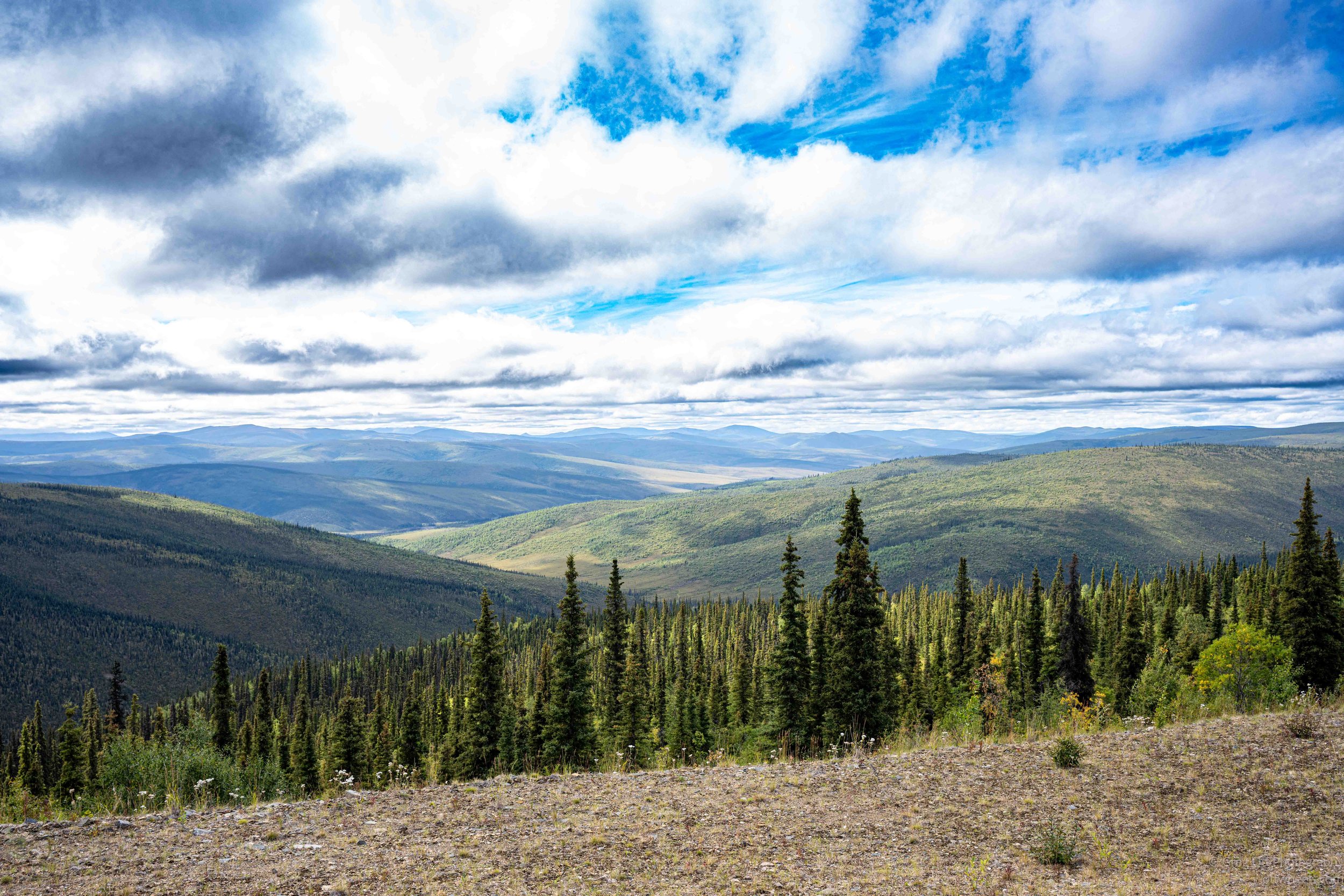
From the Little Gold Creek border crossing, the Top of the World Highway follows the high ridges toward Dawson City for roughly 100 kilometers. The name makes sense almost immediately. Instead of running through the valleys, much of the road stays high above them, with long views across rolling mountains and valleys stretching toward the horizon. There were very few buildings, almost no traffic and long stretches where I seemed to have the entire landscape to myself.
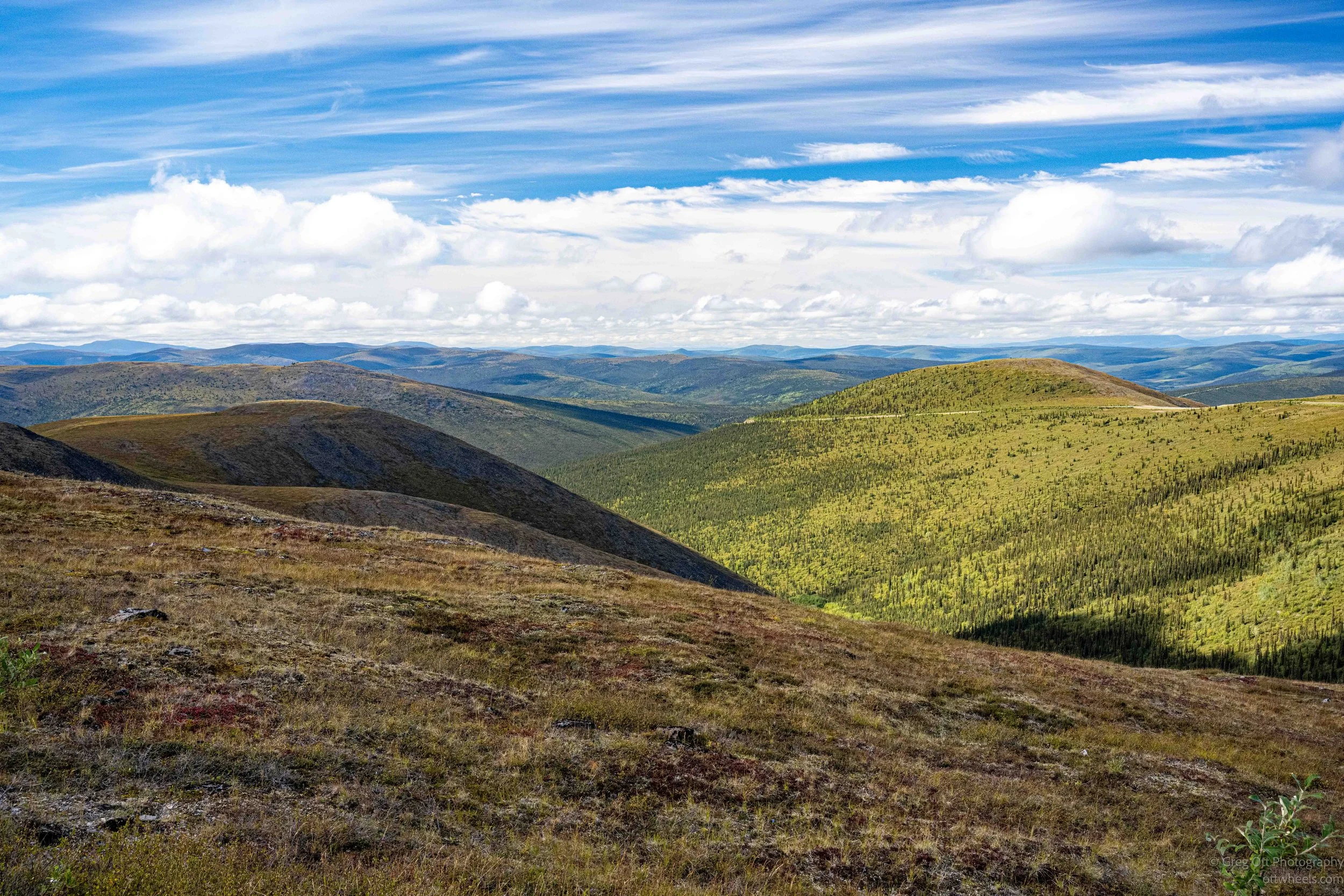
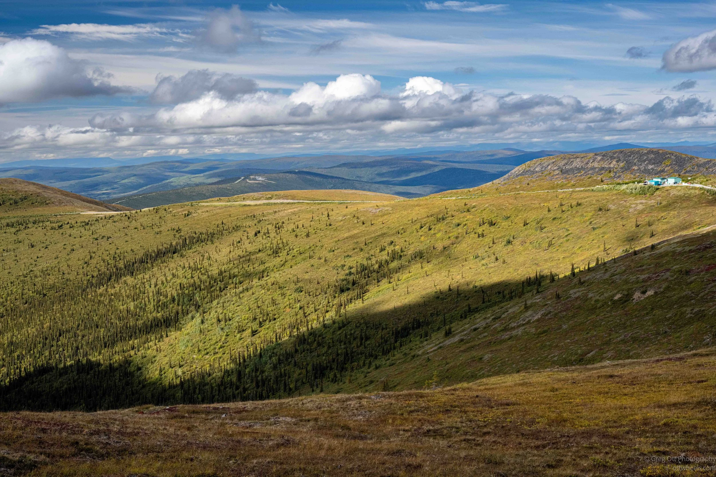
I was trying not to stop too often. Dawson City was still ahead of me, and stopping every few miles for another photograph was not going to get me there. The problem was that the views were spectacular. I would come around another bend or crest another ridge and suddenly have another enormous view in front of me. I’d tell myself I already had plenty of photographs of mountains and valleys, drive another few miles, see something slightly different and start looking for another safe place to pull over.
The road continued along the ridges through a landscape that felt much more open than I had expected. At times I could see the highway ahead tracing its way across the mountains, disappearing around one ridge and appearing again on another. There wasn’t one particular viewpoint that made the drive memorable. It was the entire drive—the elevation, the distance you could see, the lack of traffic and the feeling of traveling across the top of this enormous landscape.
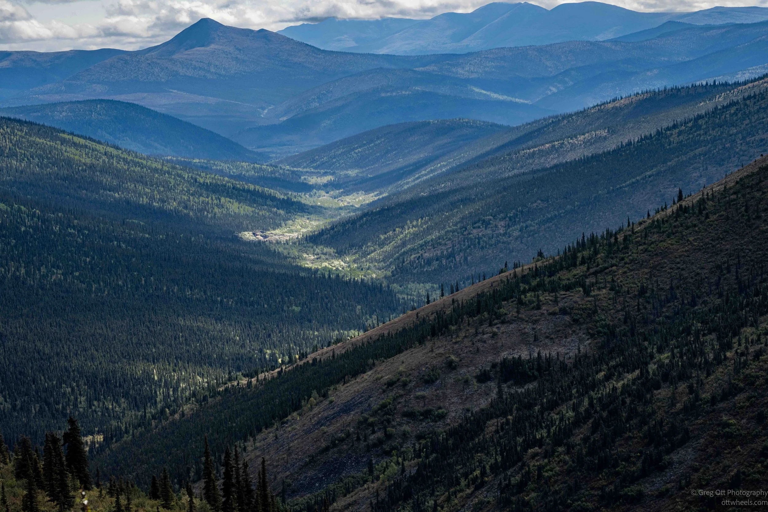
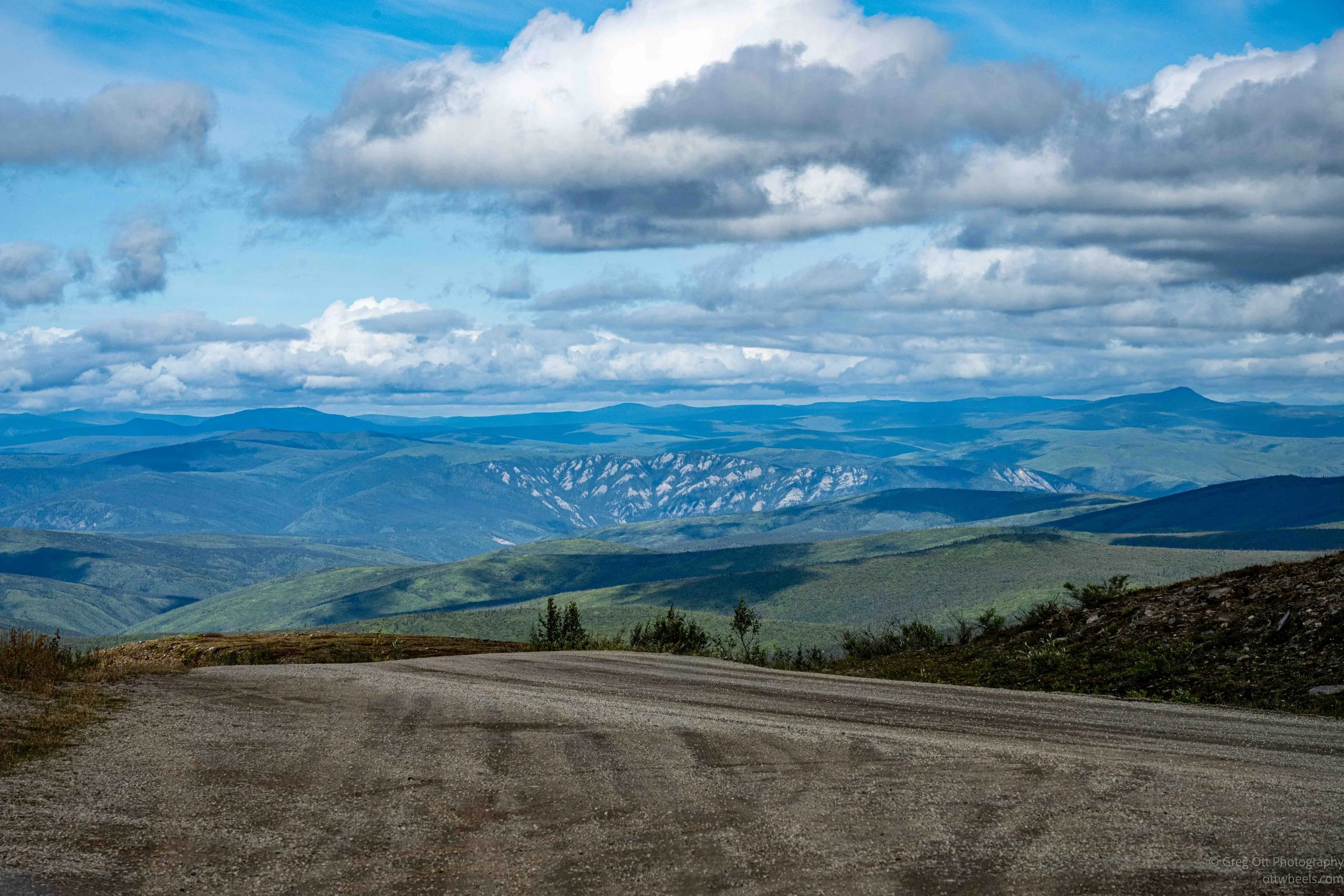
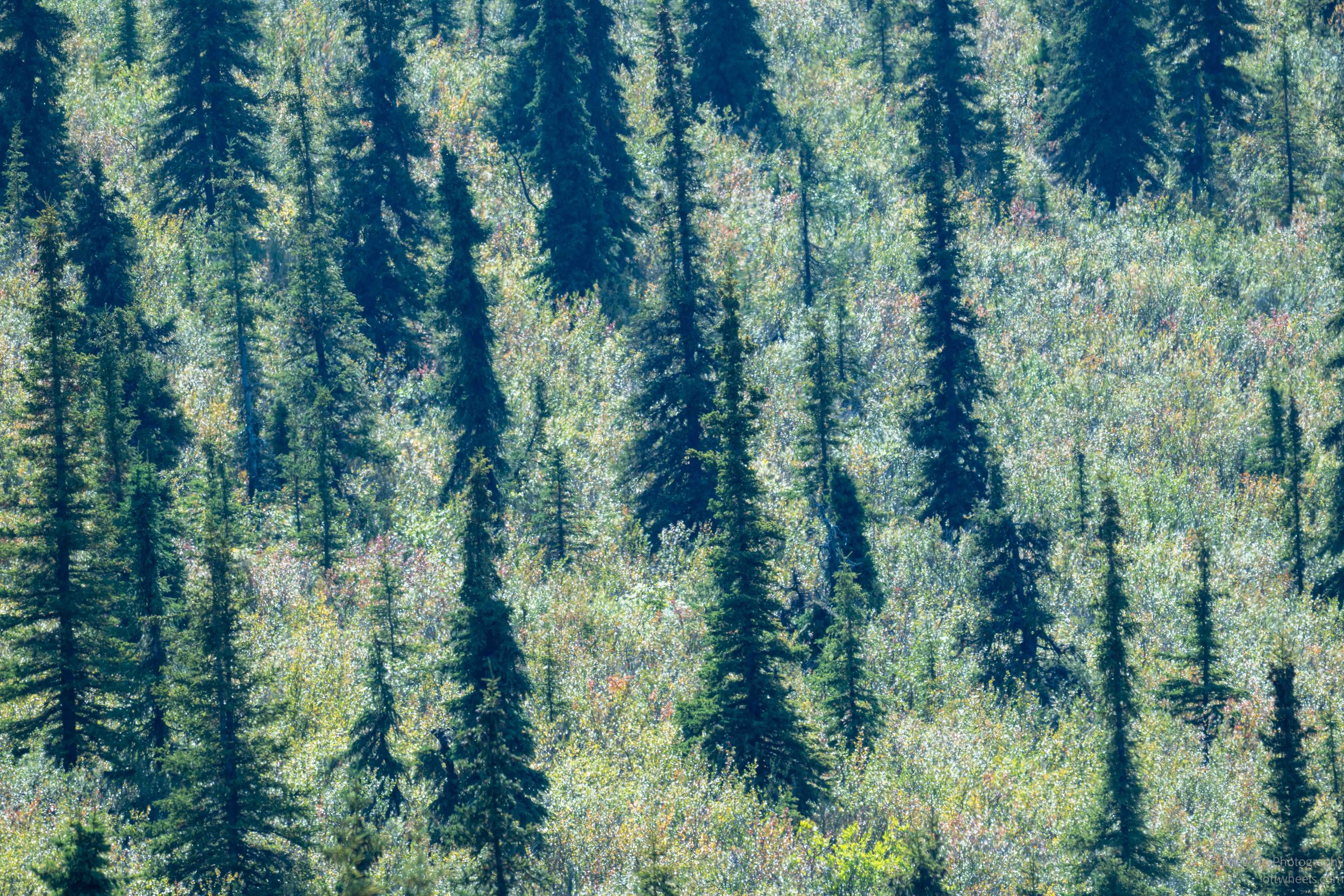
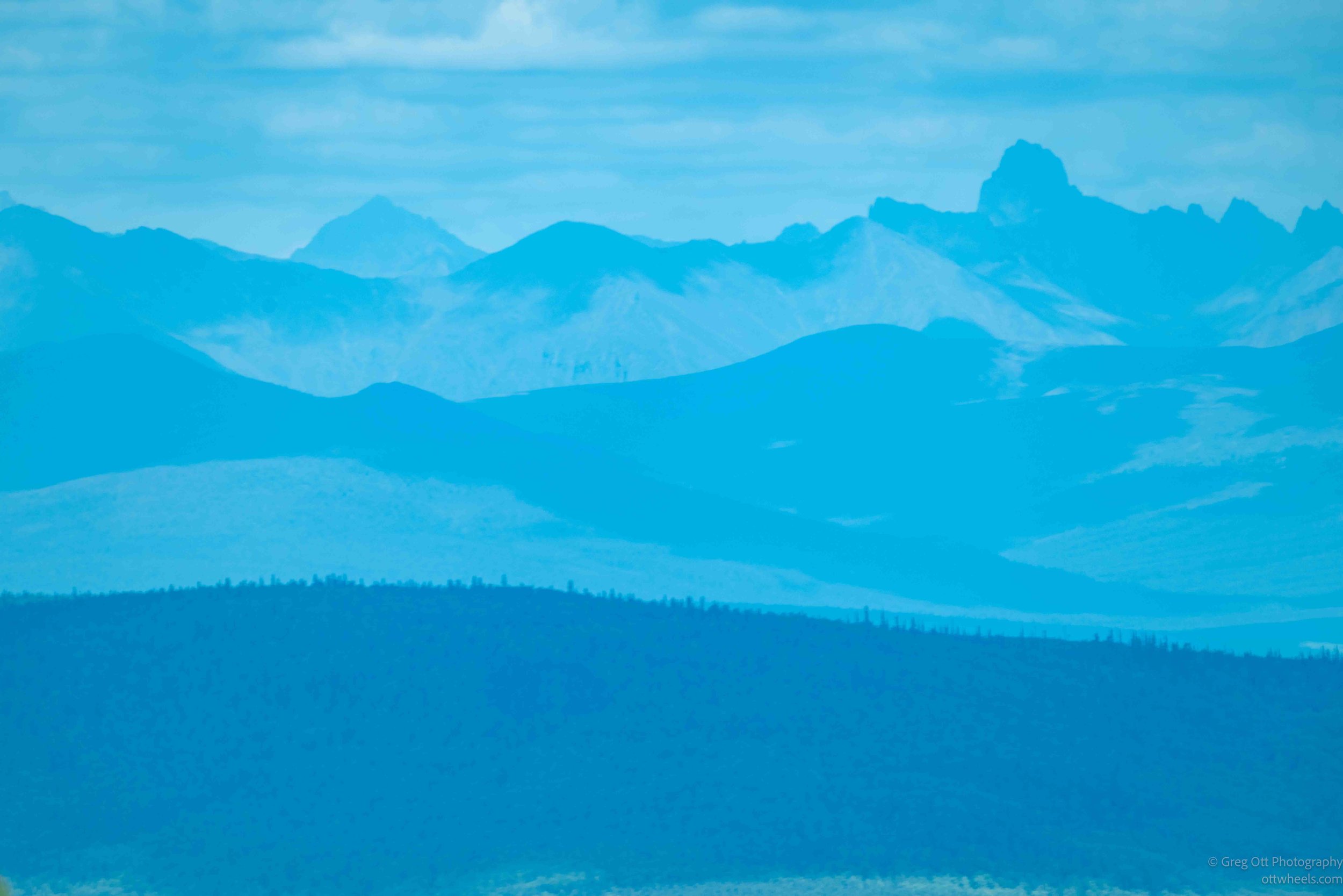
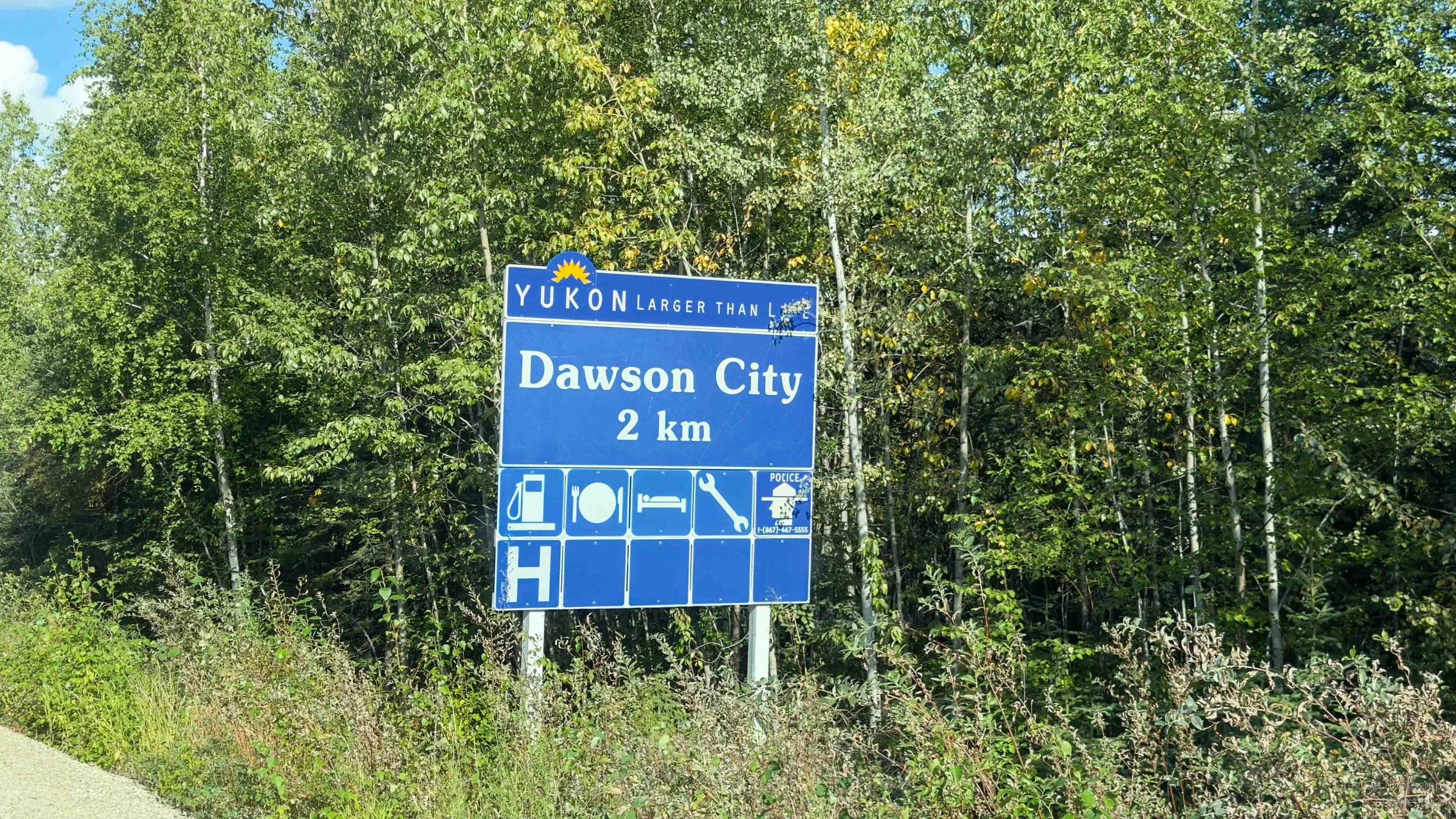
Eventually the highway began its long descent toward the Yukon River and Dawson City. After spending hours high above the valleys, dropping back down toward the river felt like returning to civilization, although Dawson City isn’t exactly the kind of place that makes a dramatic return to civilization. First, I still had to get across the Yukon River.
Ferry Crossing at Dawson City
As I got closer to Dawson City, I began to think there was something wrong with Google Maps. It was telling me I still had something like 28 minutes to go, even though Dawson City was only seven kilometers away. That didn’t make any sense. I stopped, entered the destination again and got basically the same answer. Maybe there was construction. Maybe there had been an accident. Google and I had been through enough together that either explanation seemed possible.
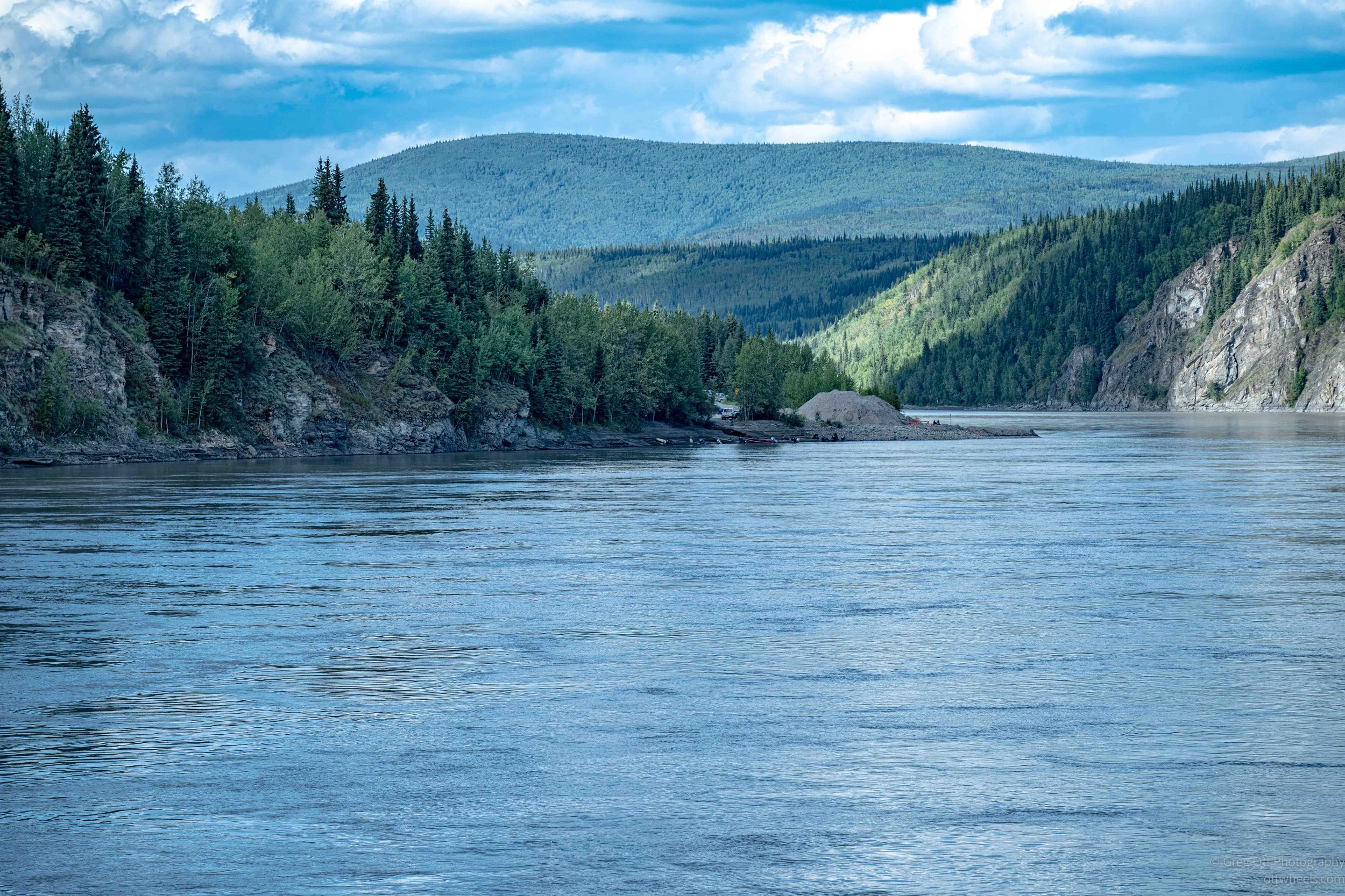
A couple of kilometers later, I understood. There was a fairly substantial obstacle between me and Dawson City: the Yukon River.
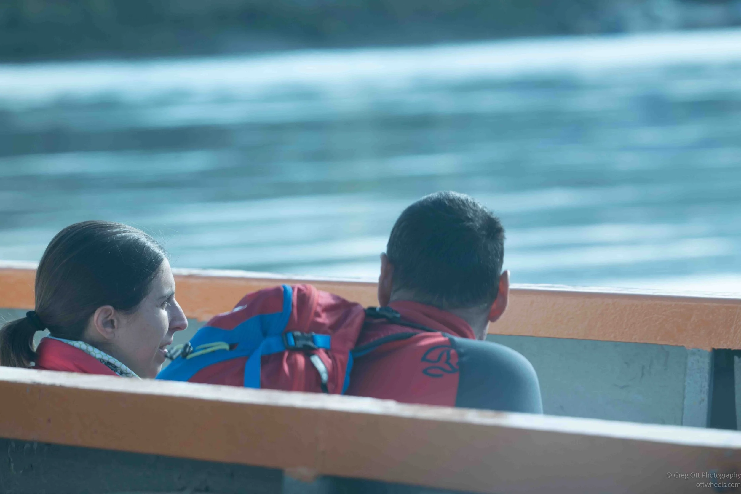
There is no bridge here. The Top of the World Highway ends on the west bank of the Yukon River, directly across from Dawson City, and the George Black Ferry carries vehicles across. The ferry is operated by the Yukon government, is free, and runs 24 hours a day during most of its summer season. The crossing itself takes only six or seven minutes.
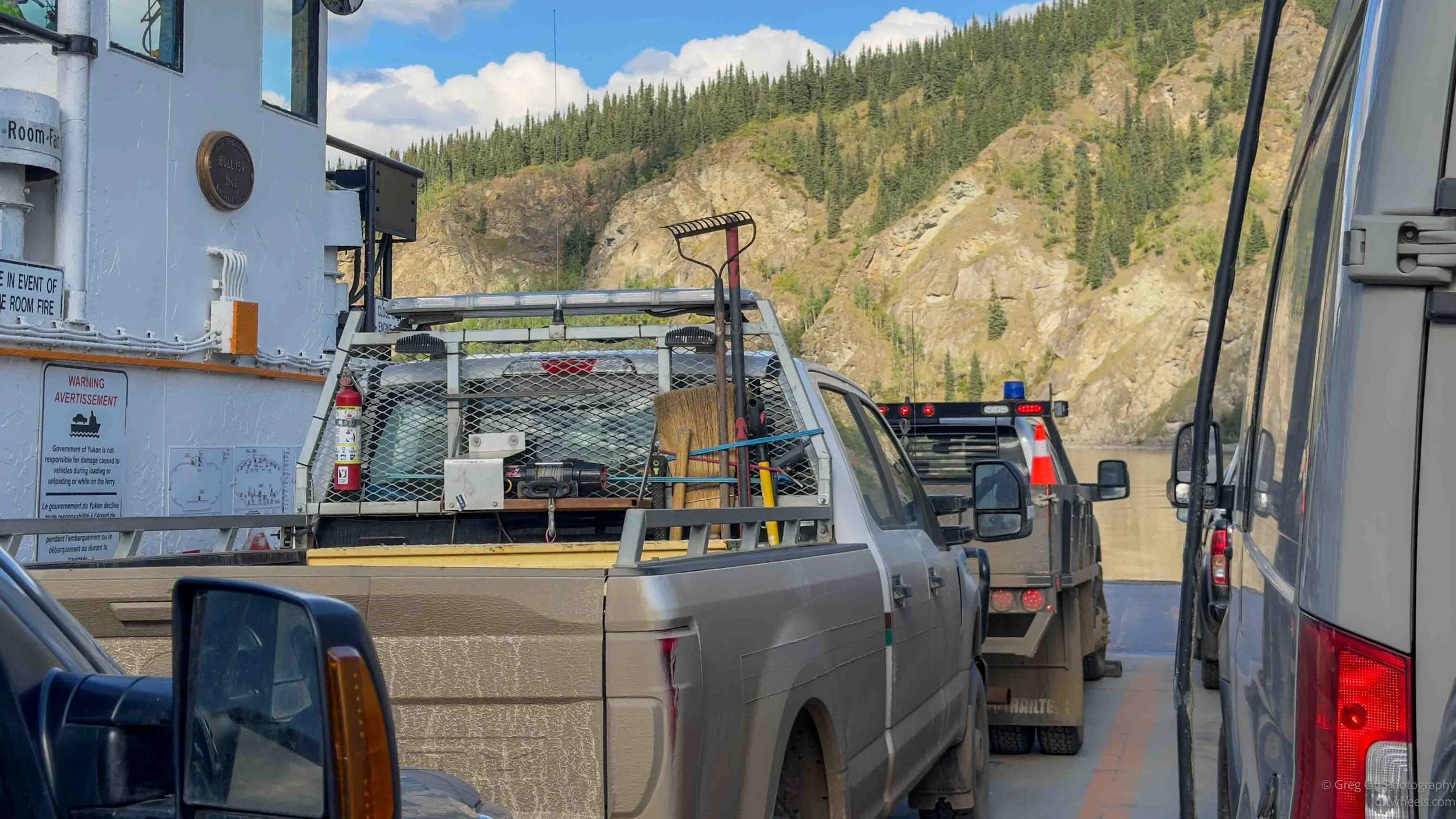
As I pulled up, there was no line and the ferry was already loaded, except for what appeared to be one remaining space exactly the size of a 22-foot van. A woman on the ferry waved me forward, and another crew member guided me into the space behind two other vans. There was no ticket booth, no obvious place to pay and nobody asking me for money. I sat there for a moment wondering when the bill was going to appear.
Signs instructed everyone to remain in their vehicles, which limited my photography. Two hikers were sitting off to the side in front of me, speaking French and pointing out various things along the river. I counted six crew members during the short crossing and started wondering about the economics of transporting a handful of vehicles back and forth across the Yukon River all day. It wasn’t until later that I realized there really wasn’t an economic model to figure out. The ferry is simply part of the territorial highway system, connecting the Top of the World Highway with Dawson City and the North Klondike Highway. I was the last off and drove off into Dawson City.
I also wondered what happened in winter and did some searches. The answer is very Yukon. The ferry normally operates from around mid-May until mid-October. Once winter settles in and the river freezes sufficiently, the government builds an ice bridge across the Yukon River and vehicles simply drive across it. There are periods during freeze-up and breakup when neither crossing is available, and in some winters the river conditions don't cooperate enough for an ice bridge to be built at all.
There was a much longer line waiting for the ferry on the Dawson City side. Most of those vehicles were headed in the direction I had just come from, preparing to drive the Top of the World Highway toward Alaska. After spending the last several hours on it, I understood why they wanted to make the drive. I also knew something they were about to discover: the pavement on the other side wasn't going to last very long.
Dawson City
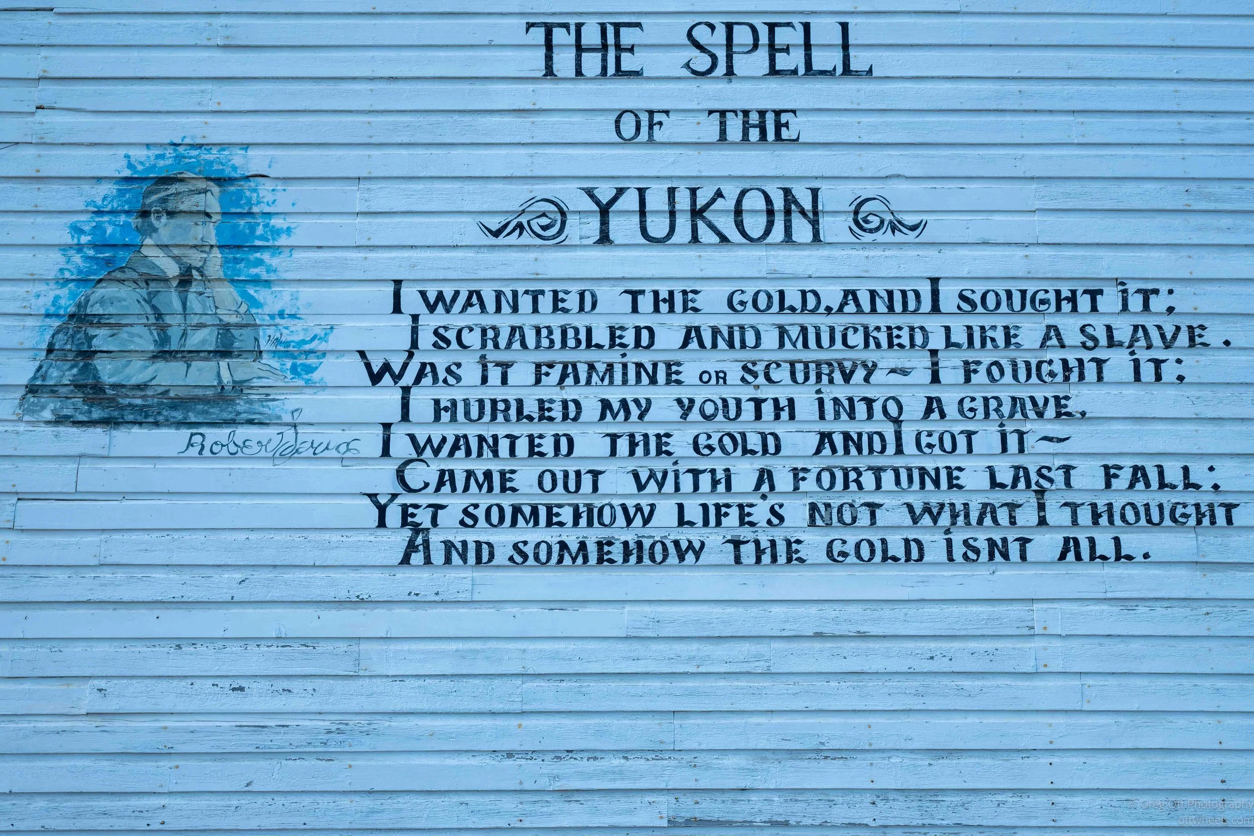
Arriving in Dawson City connected another piece of my Alaska and Yukon trip. When I was in Skagway in June, I had learned about the thousands of people who came north during the Klondike Gold Rush, hauled a year's worth of supplies over the Chilkoot or White Pass, built or bought boats and then traveled more than 500 miles down the Yukon River. Dawson was where they were all trying to get.
The irony was that by the time most of them arrived, Dawson was already a city and most of the good gold claims were taken. Gold had been discovered on Bonanza Creek in August 1896, and a town quickly grew where the Klondike and Yukon rivers meet. When word finally reached Seattle and San Francisco in 1897, the rush began. Of the roughly 100,000 people who set out for the Klondike, only about 30,000 made it to Dawson. Most arrived in 1898 to find a booming city of perhaps 20,000 to 30,000 people, with stores, saloons, restaurants, hotels and hundreds of businesses. Imagine spending a year getting there, hauling everything you owned over mountains and down the Yukon, only to discover you were late.
The area wasn't empty before the miners arrived. Indigenous people had lived along the Yukon and Klondike rivers for generations. The sudden arrival of thousands of people looking for gold changed their lives dramatically and pushed them away from places they had traditionally lived and gathered. Like so many places I had visited in Alaska and the Yukon, the history didn't really begin when the outsiders showed up, although that's usually where the familiar story starts.
The boom itself was remarkably short. Dawson became the capital of the newly created Yukon Territory in 1898, but by 1899 another gold discovery near Nome, Alaska, was already pulling people away. Mining around Dawson also shifted from individuals with picks and shovels to large companies using heavy machinery and dredges. By 1918, Dawson's population had fallen below 1,000.
What struck me was how quickly all of this happened. Gold was discovered in 1896, the outside world heard about it in 1897, the great wave of stampeders arrived in 1898, and by 1899 many were already leaving for somewhere else. In about three years, Dawson went from a small settlement beside two rivers to one of the largest communities in western Canada and then began shrinking again. I had unknowingly been following pieces of the stampeders' route since Skagway, and now I had finally reached the place they had all been trying so desperately to get to.
Walking Around Dawson City
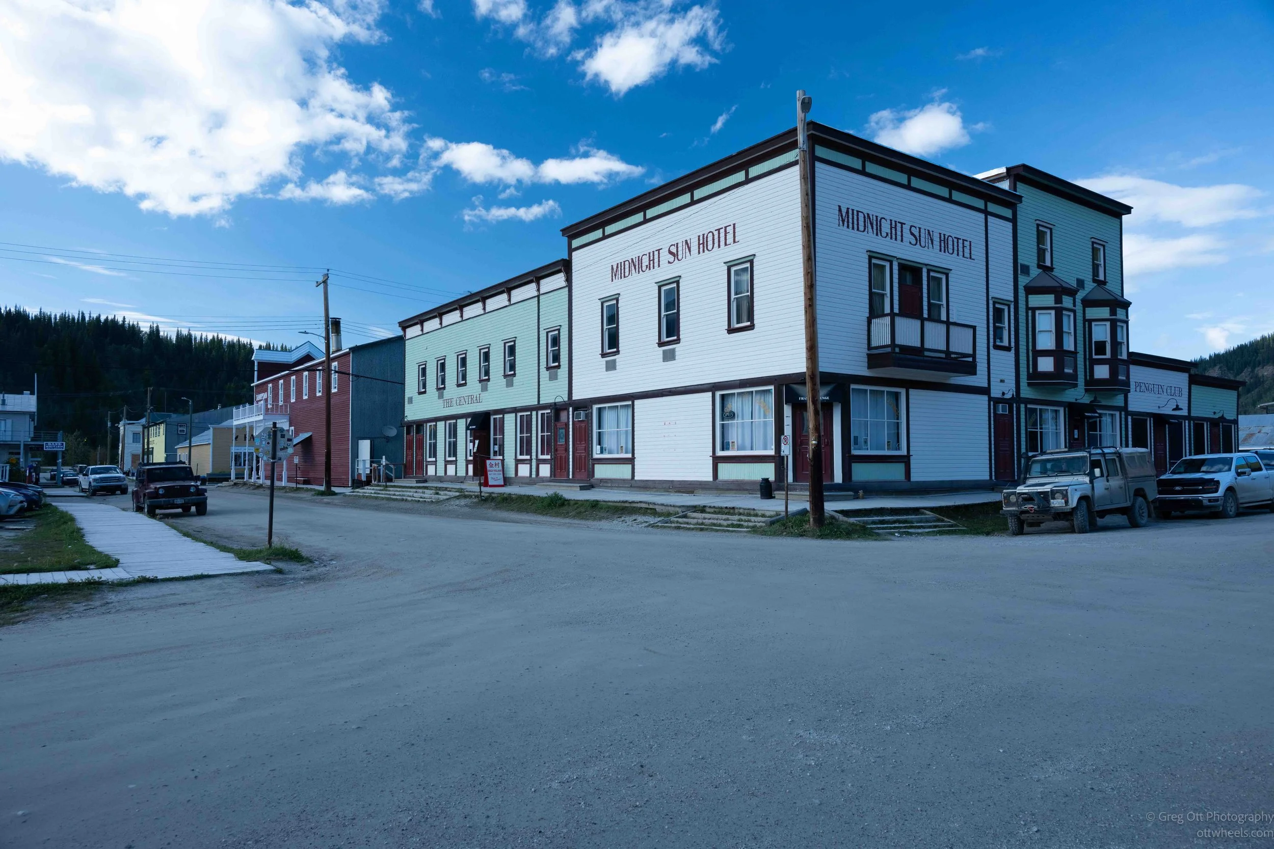
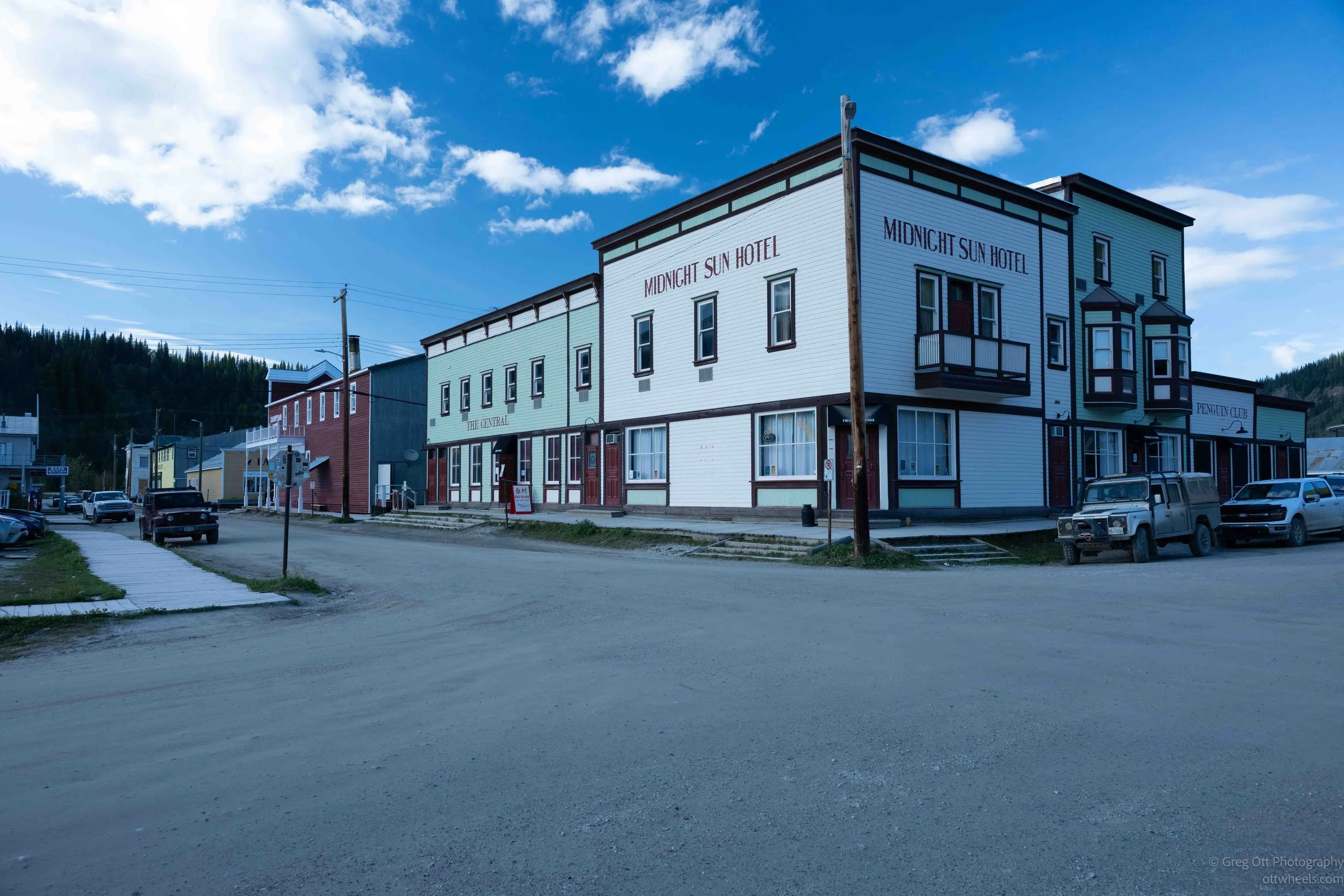
I spent the next couple of hours walking around Dawson City. Most of the streets aren't paved unless there is some particular reason for them to be, and after a recent rain there were plenty of mud puddles to negotiate. Even many of the sidewalks were wooden boardwalks. I found a place to park the van and walked to the visitor center, where I picked up some information and looked through the various tours. One of the longer tours took you inside several historic buildings, but I had missed the last one for the day. I decided I was perfectly capable of wandering around on my own and getting lost without professional assistance.
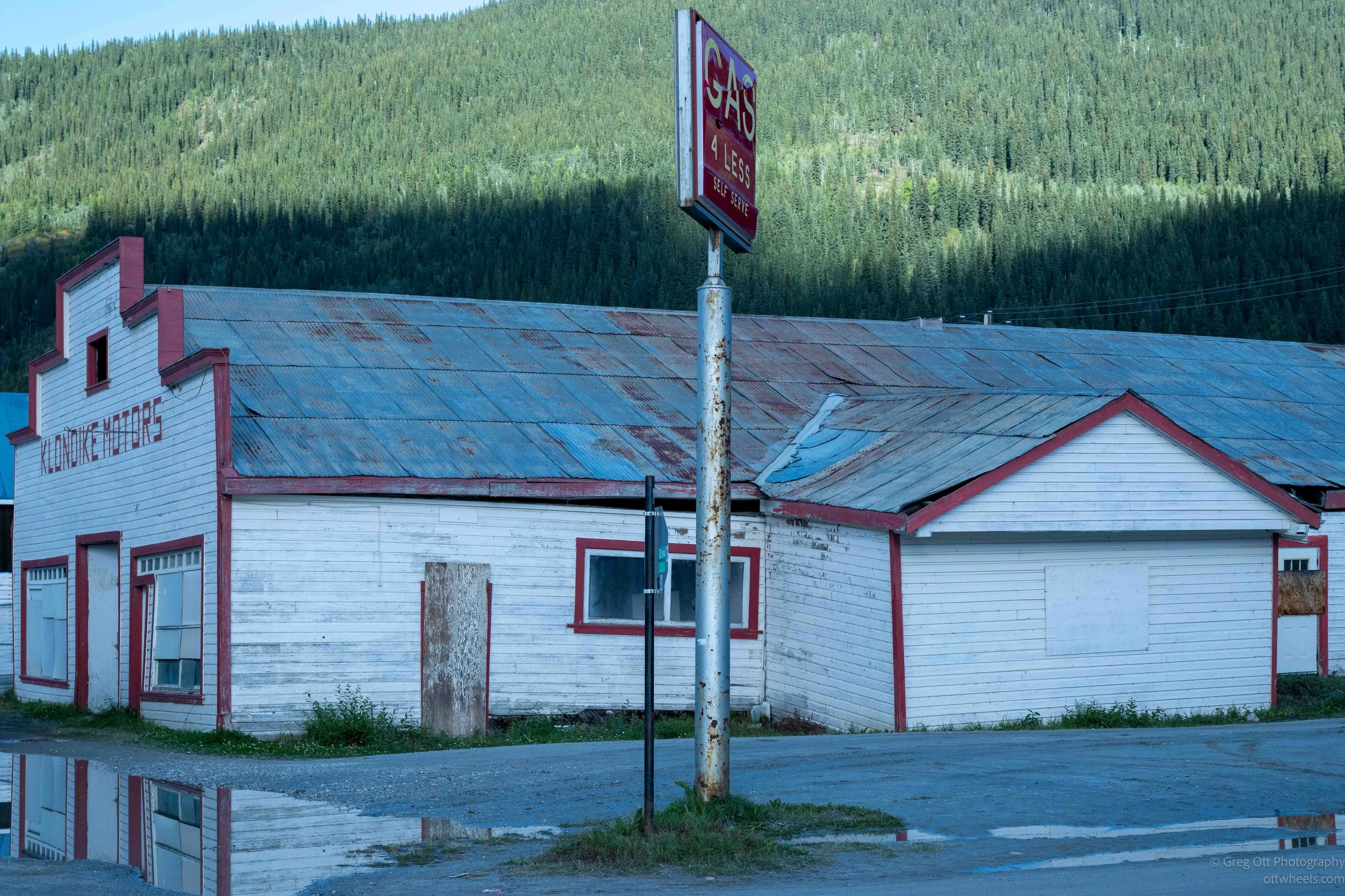
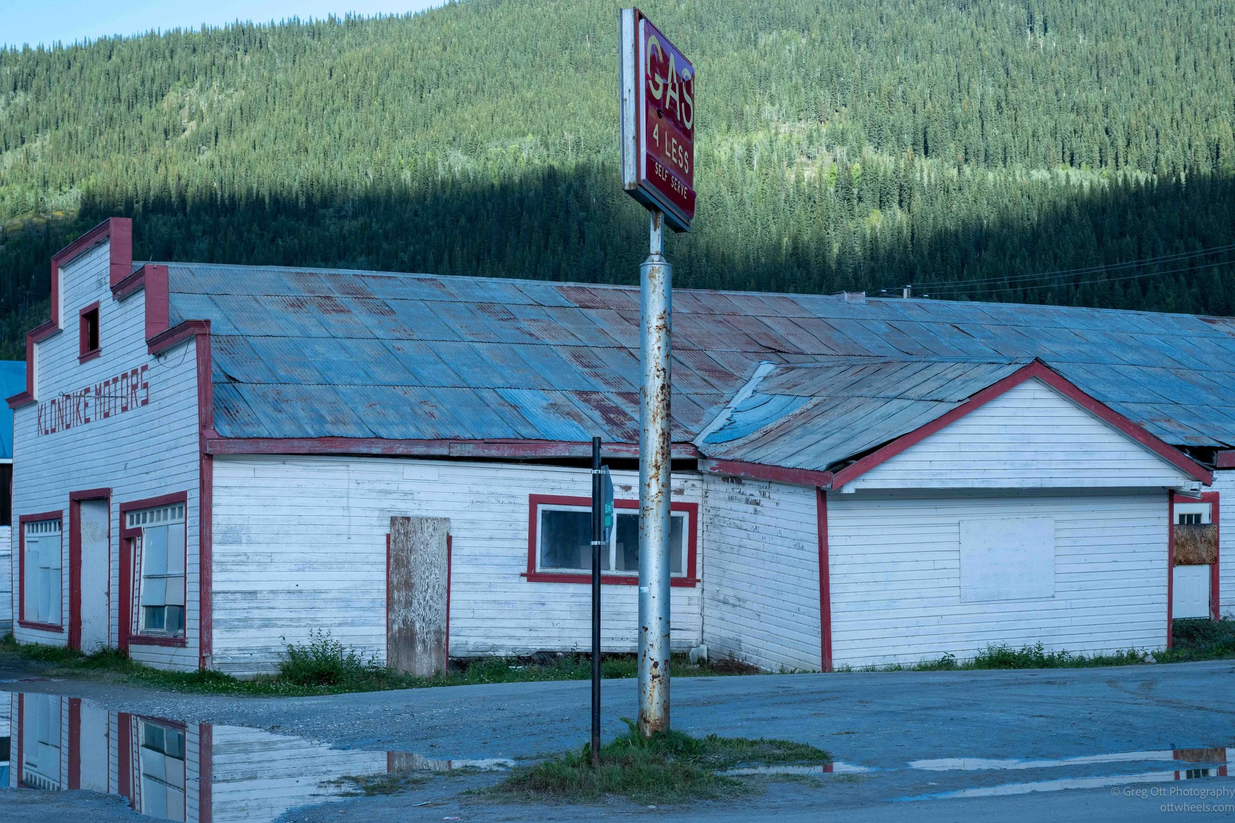
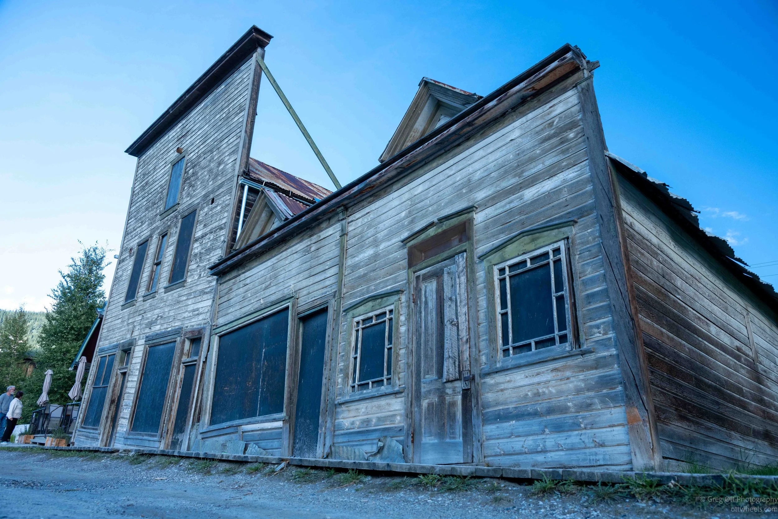
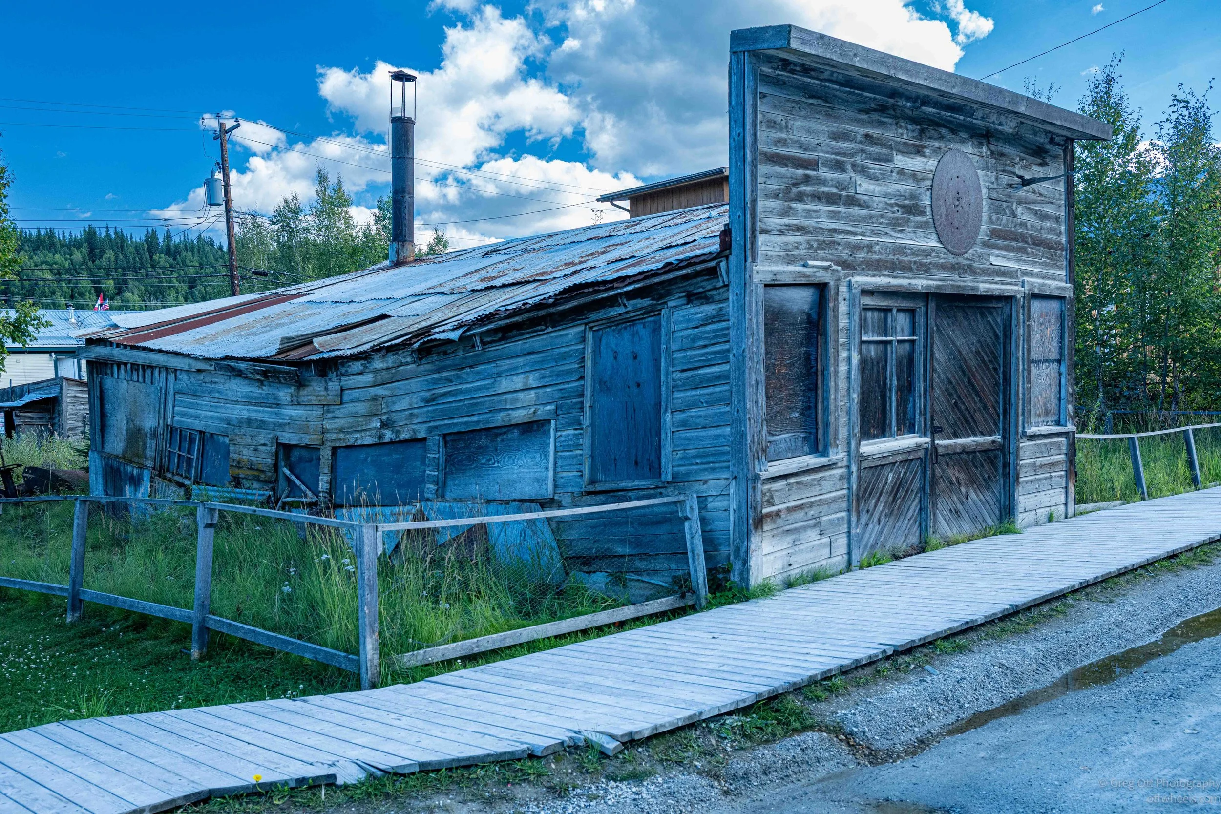
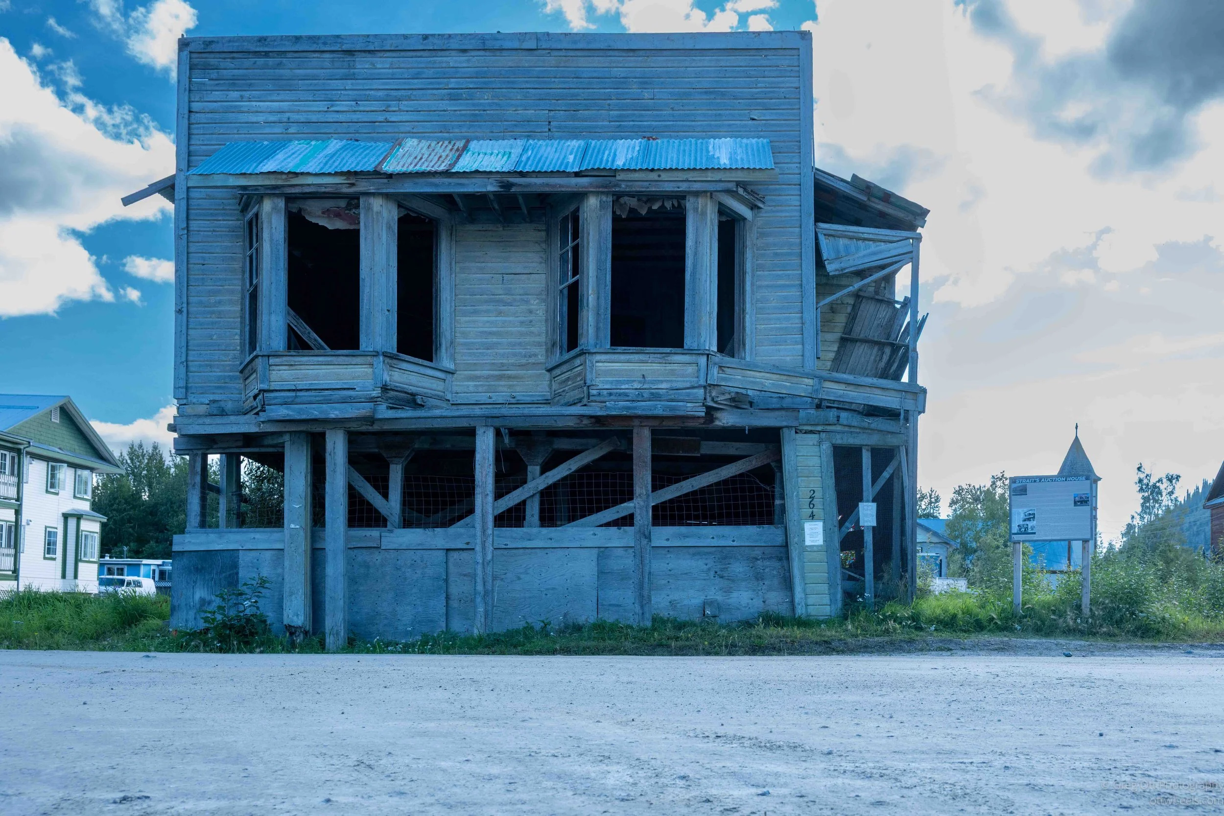
Dawson is an interesting place to photograph because it hasn't been polished into a perfect recreation of a Gold Rush town. There are beautifully restored buildings sitting not far from others that look as though gravity has been patiently working on them for the last hundred years. Some are leaning badly, others are boarded up, and a few seem to be held together with whatever wood or sheet metal happened to be available at the time. The permafrost underneath the town hasn't helped. As the ground freezes, thaws and shifts, some of the old buildings have moved with it. Rather than straighten everything, several have been preserved pretty much where they ended up.
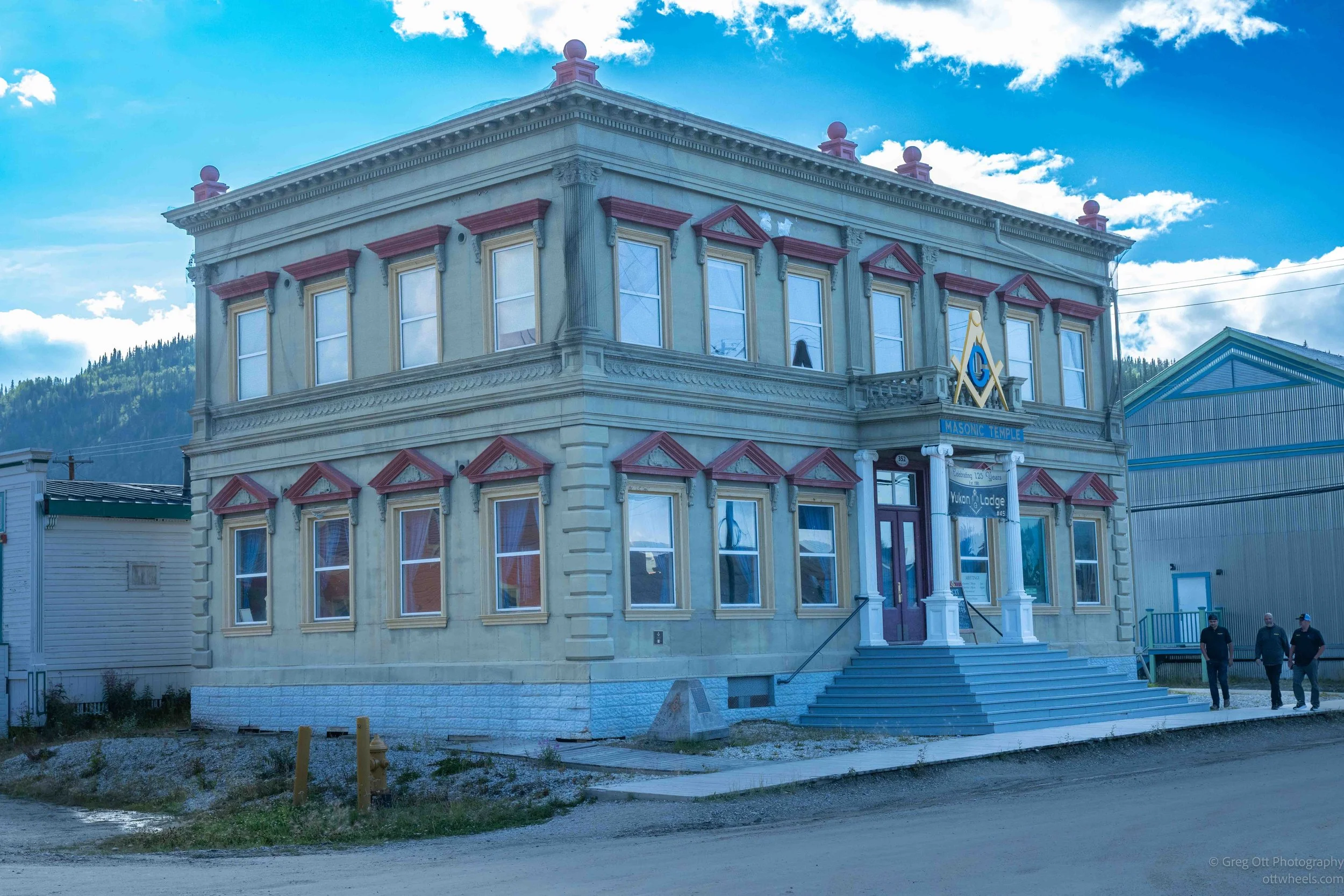
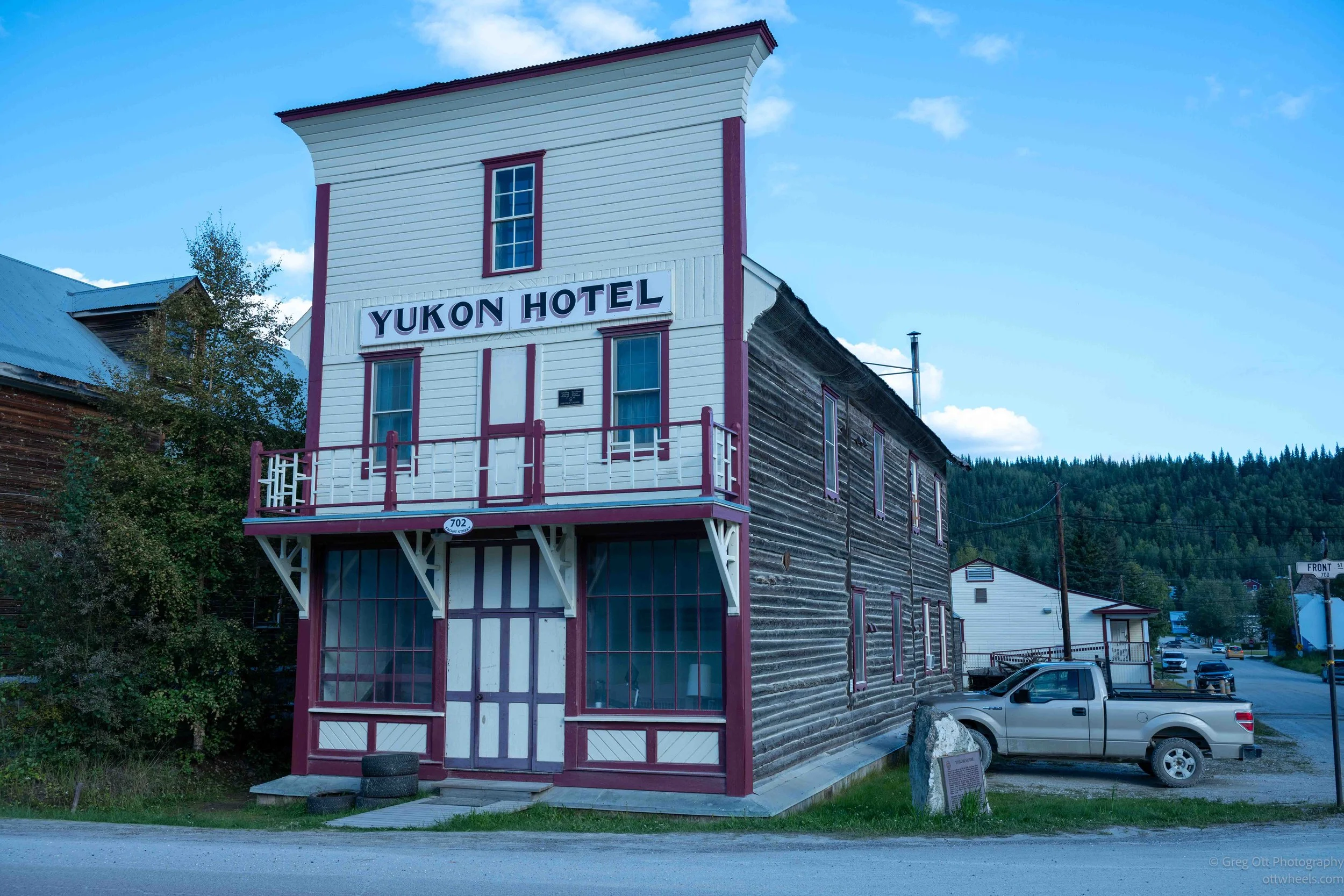
There are reminders of the Gold Rush everywhere. The old Yukon Hotel still stands with its narrow false front facing the street. The Masonic Temple looks surprisingly substantial for a town that appeared almost overnight. The Diamond Tooth Gerties Gambling Hall continues the gambling and entertainment tradition that was a big part of Dawson during the boom.
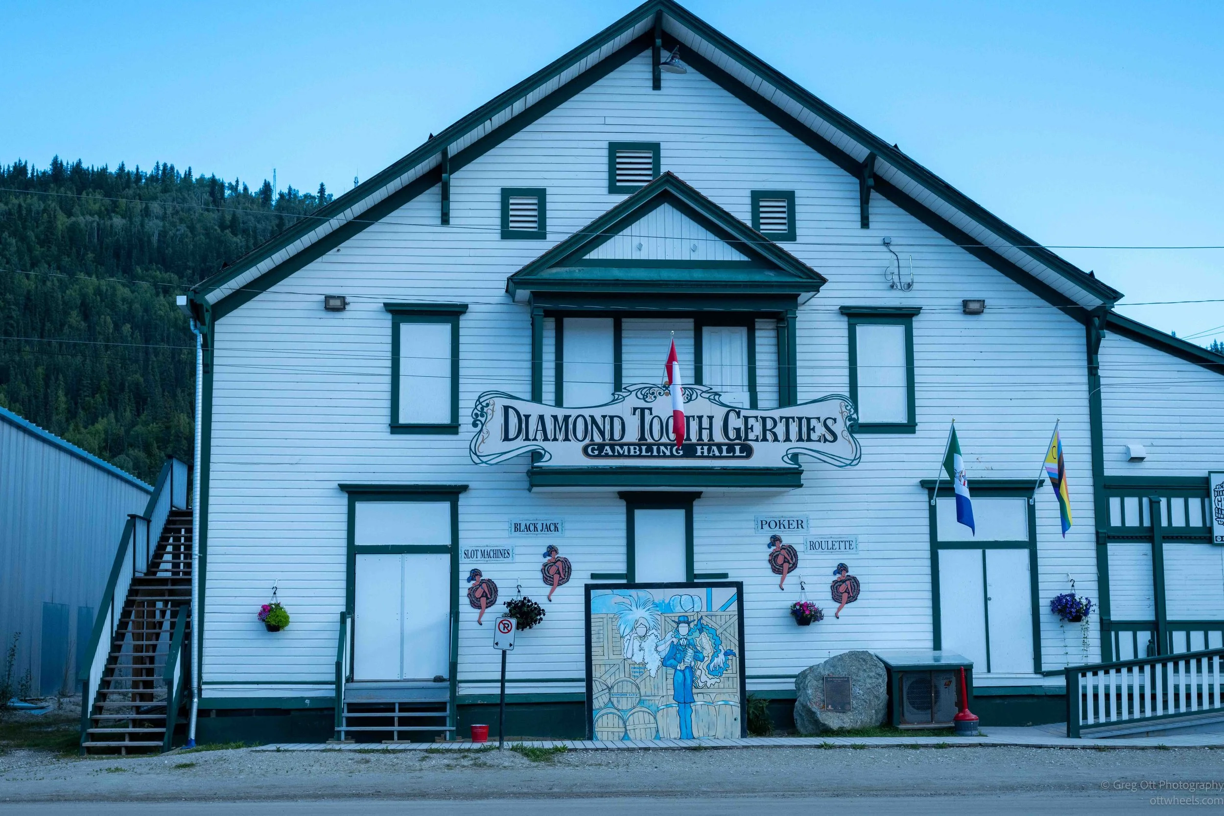
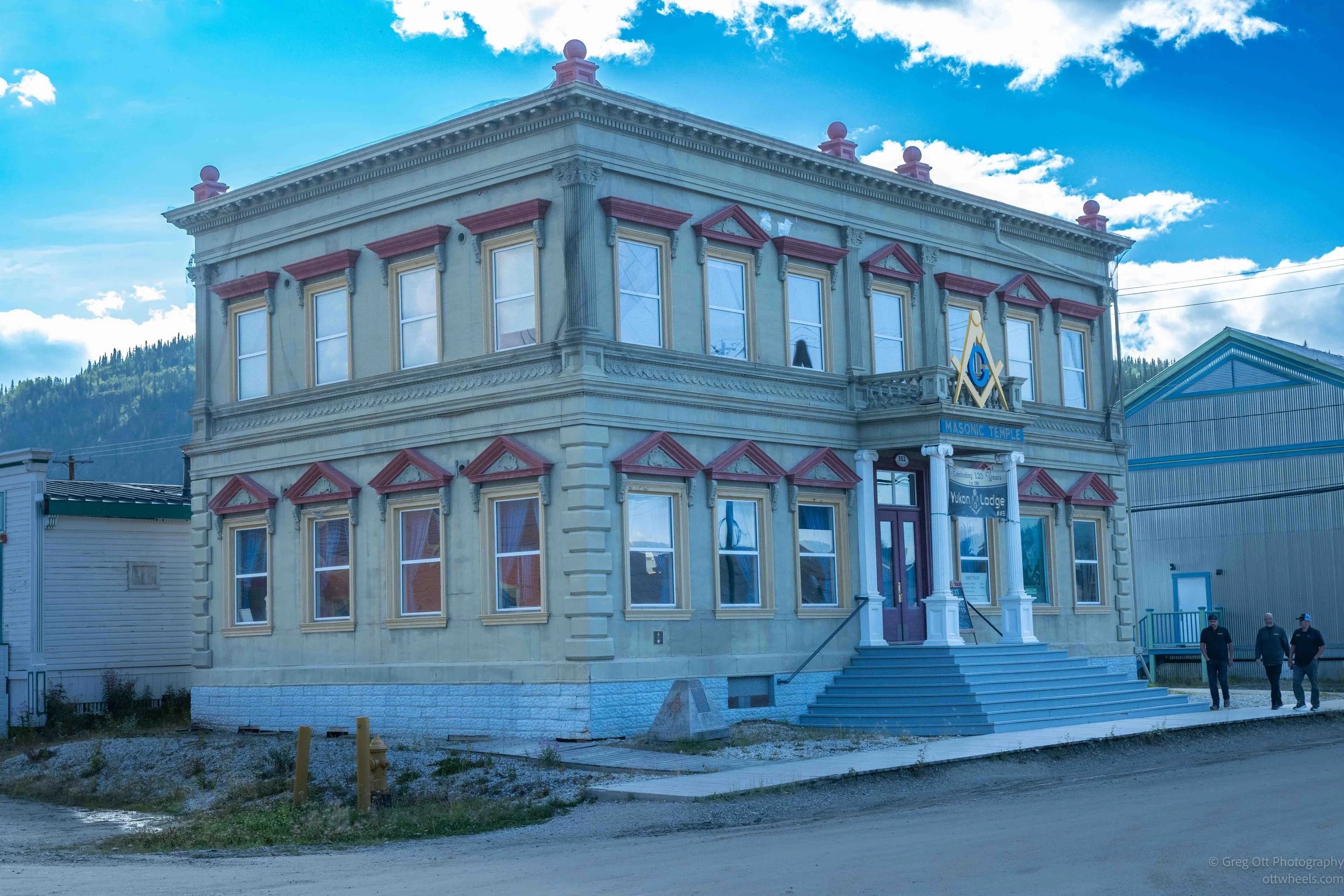
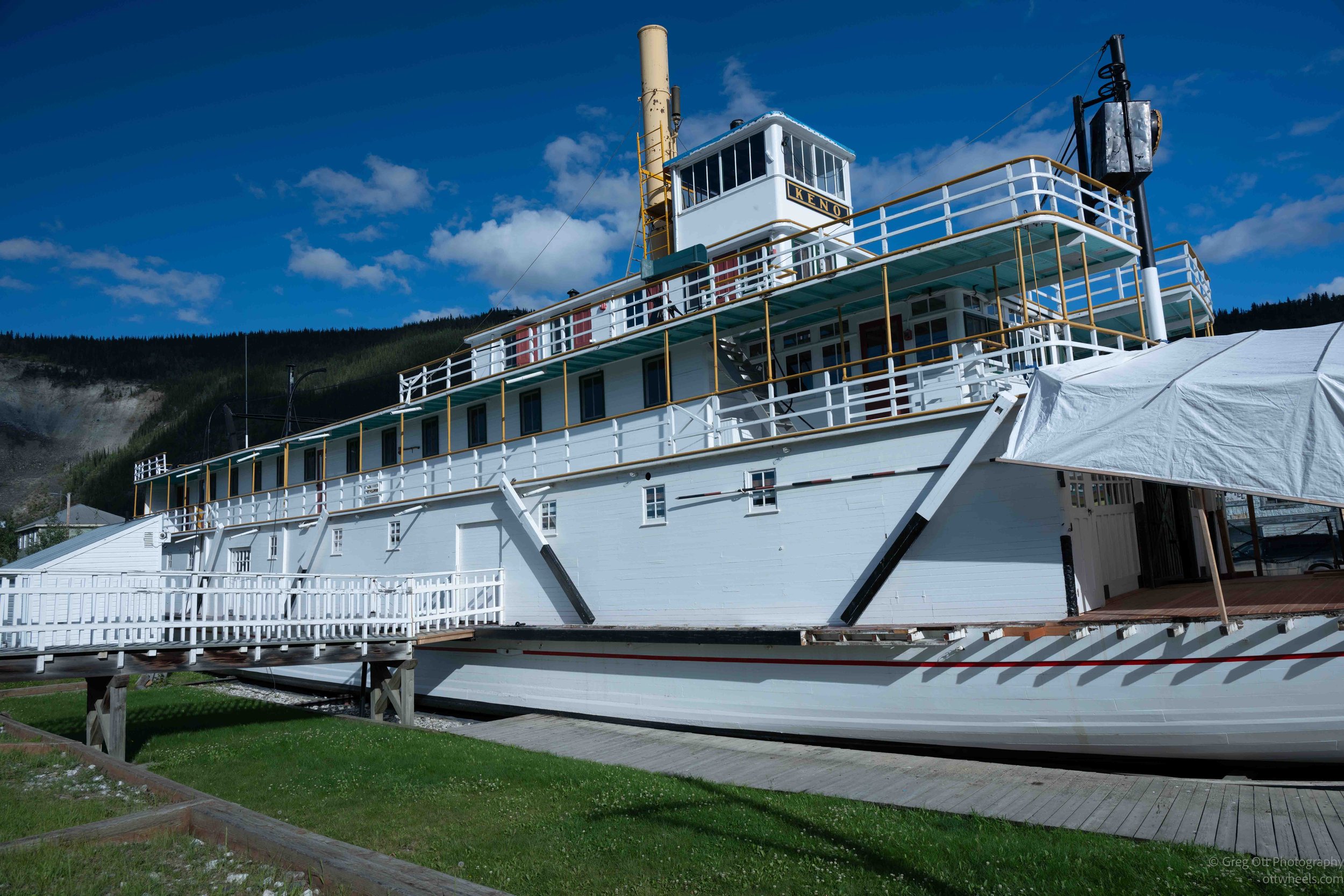
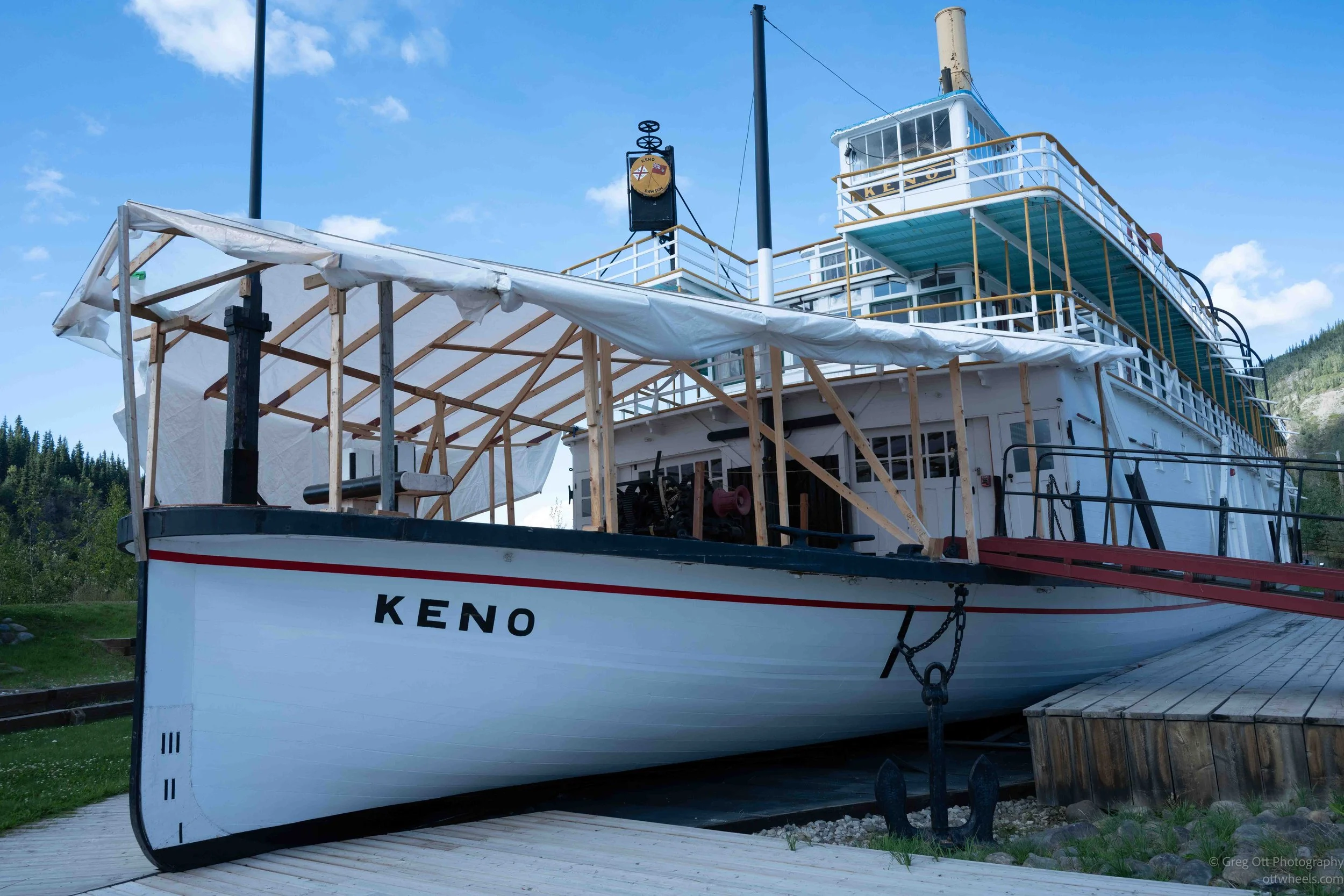
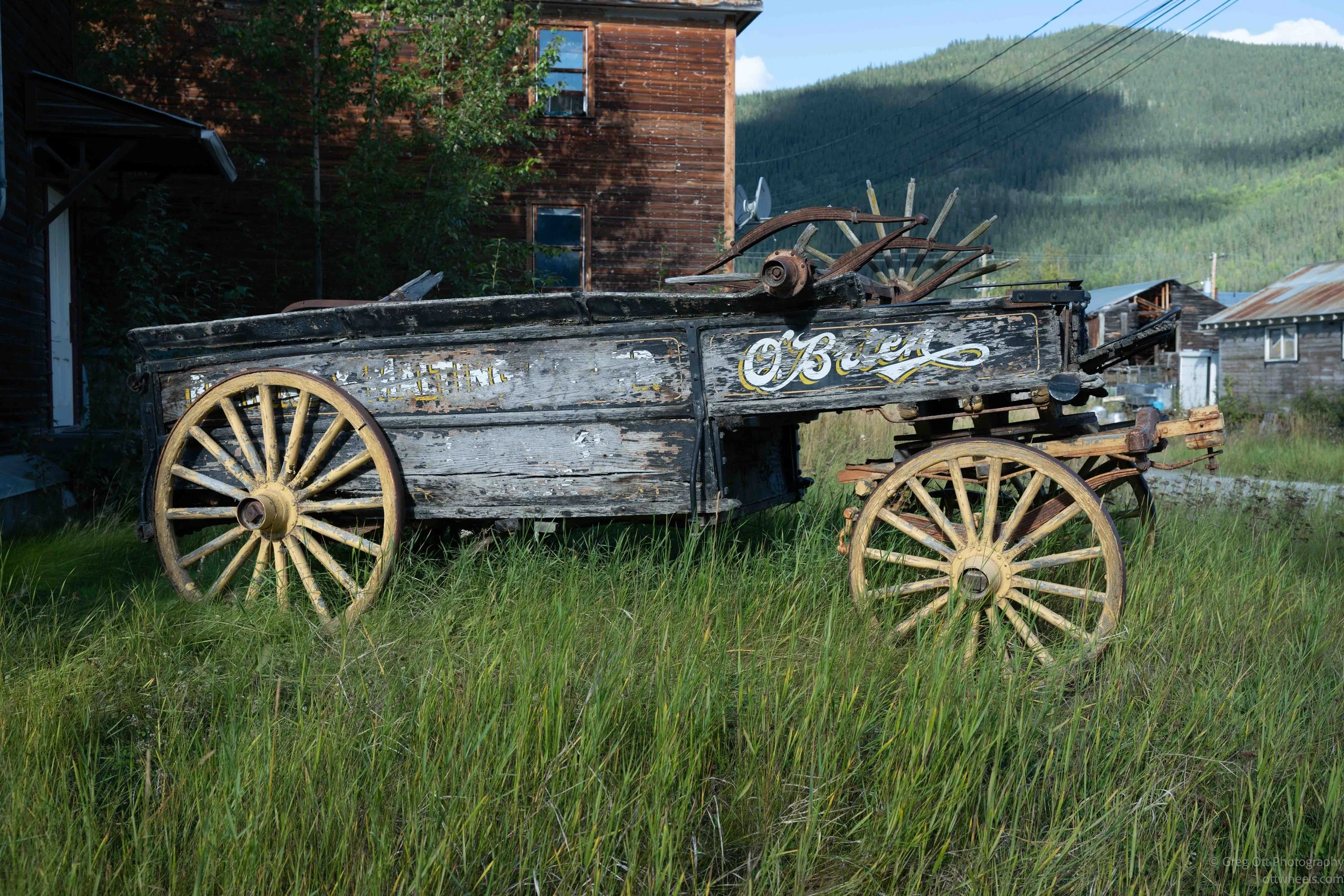
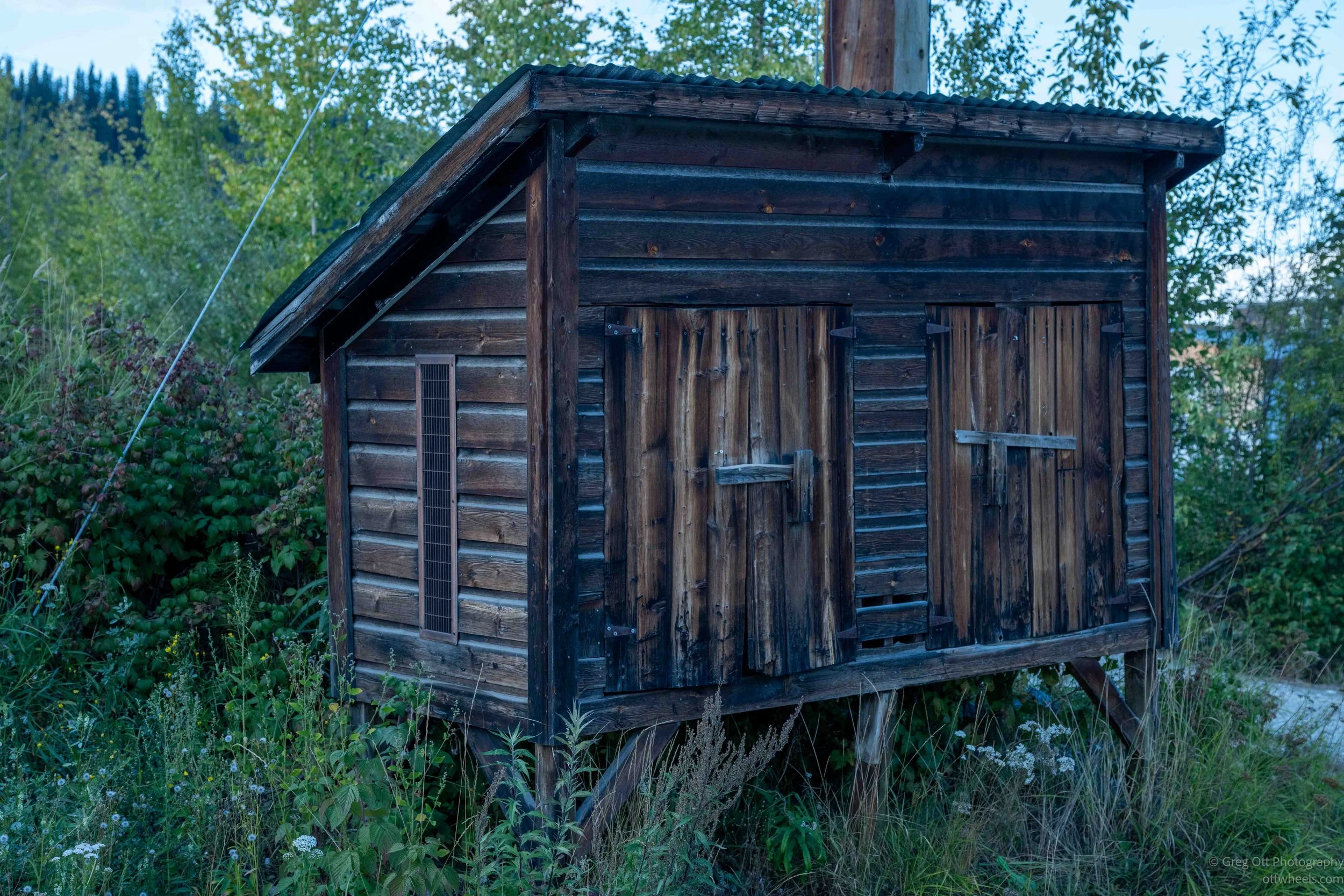
Down by the river is the sternwheeler Keno, another reminder that before roads reached this part of the Yukon, riverboats were how people, food, equipment and just about everything else moved through the region. Then I would turn a corner and find an abandoned building, an old wagon sinking into the grass or another structure slowly losing its argument with the ground. It made the history feel less reconstructed and more like pieces of the old town were still scattered throughout the current one.
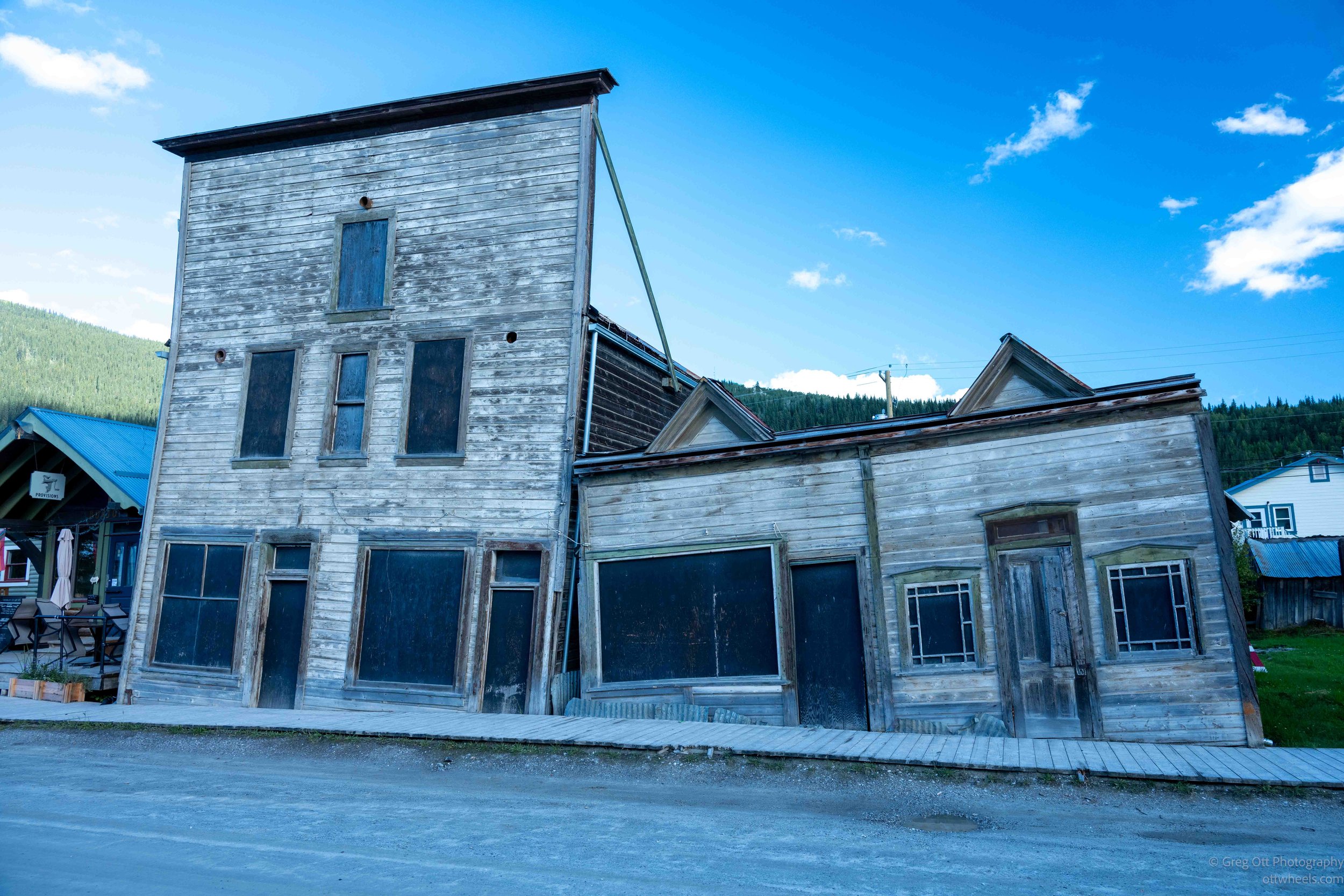
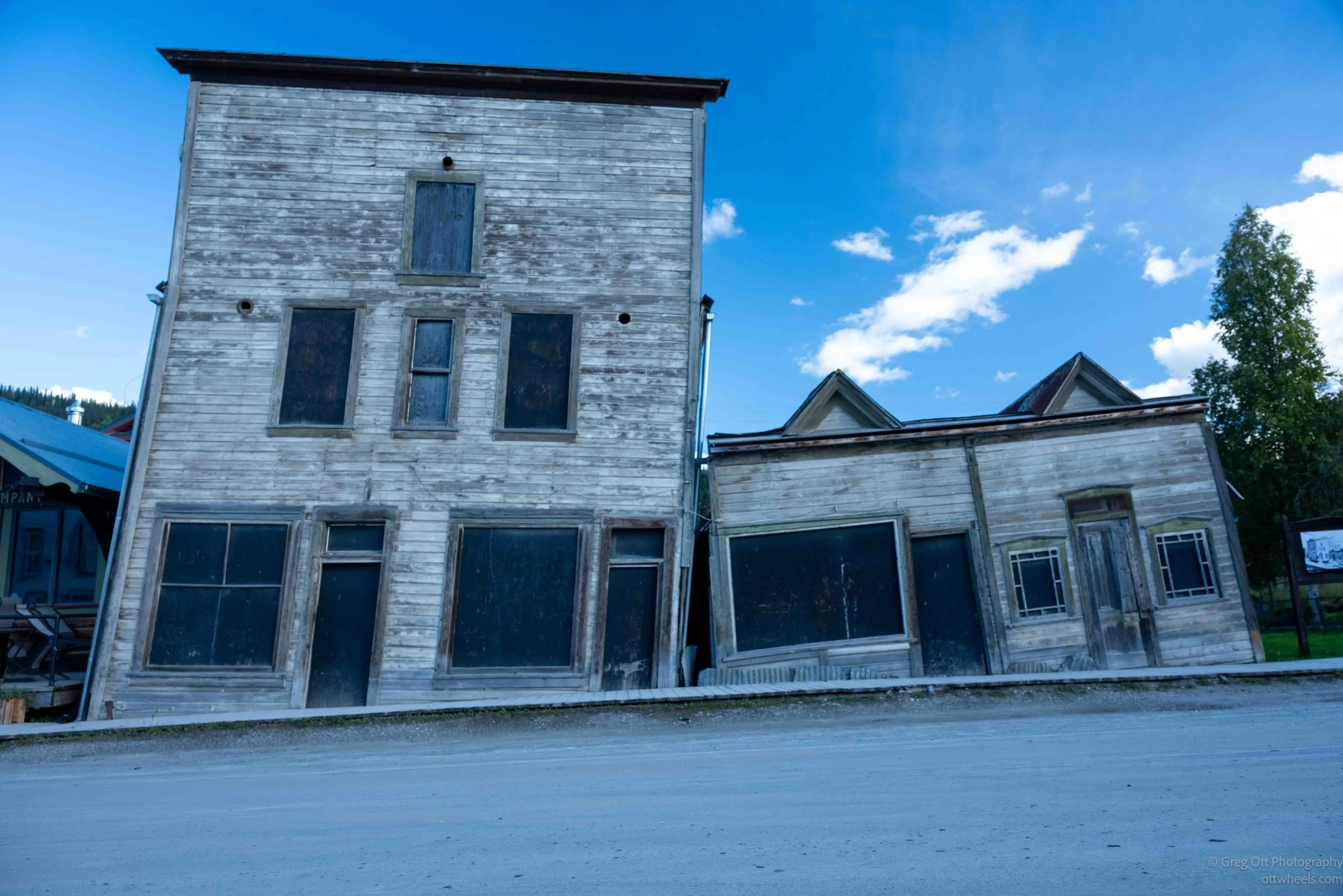
After walking and photographing for a while, I decided it was time for ice cream. That turned into more of an adventure than expected. The shop only accepted cash, and I didn't have any with me. I tried several other shops and two restaurants and got essentially the same answer: cash only. One person explained that communications were unreliable and card transactions could be difficult, although apparently the nearby ATMs had no trouble communicating with the outside world. Another person summed it up more directly: “Cash is king up here.”
Eventually I walked back to the van to get my Canadian cash. Along the way I kept thinking about how shortsighted that seemed today. Several businesses and at least one restaurant had already lost my business, and I couldn't possibly be the only visitor who normally doesn't carry cash. Maybe it was really the unreliable communications, maybe it was the three percent or so that credit-card companies take from every transaction, or maybe Dawson simply hadn't completely accepted the idea that the Gold Rush was over and we weren't all walking around with little bags of gold anymore. Whatever the reason, I learned quickly that if I wanted ice cream in Dawson City, I needed cash.
At the end of my walk, I ended up back at the ice cream shop, this time with cash in hand. The portions were huge. Apparently that 3% they were saving on credit-card fees was being put right back into the product delivered to the customer. At least that’s what I told myself.
I sat outside eating my ice cream and started talking with a couple from Vancouver Island. She had been born in Hong Kong and moved to Canada before Hong Kong was turned back over to China. They told me about their trip north and we talked for quite a while. She was still working and mentioned that one of the things that mattered to her was making sure her house, which overlooked the water, would eventually go to her children. I asked what seemed like an obvious question: Did her kids actually want the house? She stopped for a moment and said she had never asked them. It was one of those little conversations with strangers that starts with travel and somehow ends up somewhere completely different.
Cancan
The cancan show was one of the reasons I had come to Dawson City. Several people I met while traveling through Alaska and the Yukon had told me that if I made it to Dawson, I needed to see the show at Diamond Tooth Gerties. The casino opened at 7 p.m. To enter, I needed a membership, which cost $30 for the day. Once inside, the show itself was included.
They wanted me to leave my bag at the entrance, but I explained that it contained my camera equipment and I wasn't comfortable leaving it there. The manager came over, listened to my explanation, and solved the problem by taking me to his office, where I could leave the bag while keeping my camera with me.
The show started at 8:30. I deliberately picked a table in the second row rather than sitting right up front, figuring that would reduce my chances of being dragged into the performance. It didn’t. That strategy would prove to be unsuccessful. Around 8, as the room began filling, a couple asked if they could join me. They were retired schoolteachers from Las Vegas who had co-taught fourth grade in the same classroom for almost 30 years. They asked about my photography, then told me their daughter was becoming interested in photography and pulled out some of her horse photographs to show me. By the time the show started, we had been talking for half an hour.
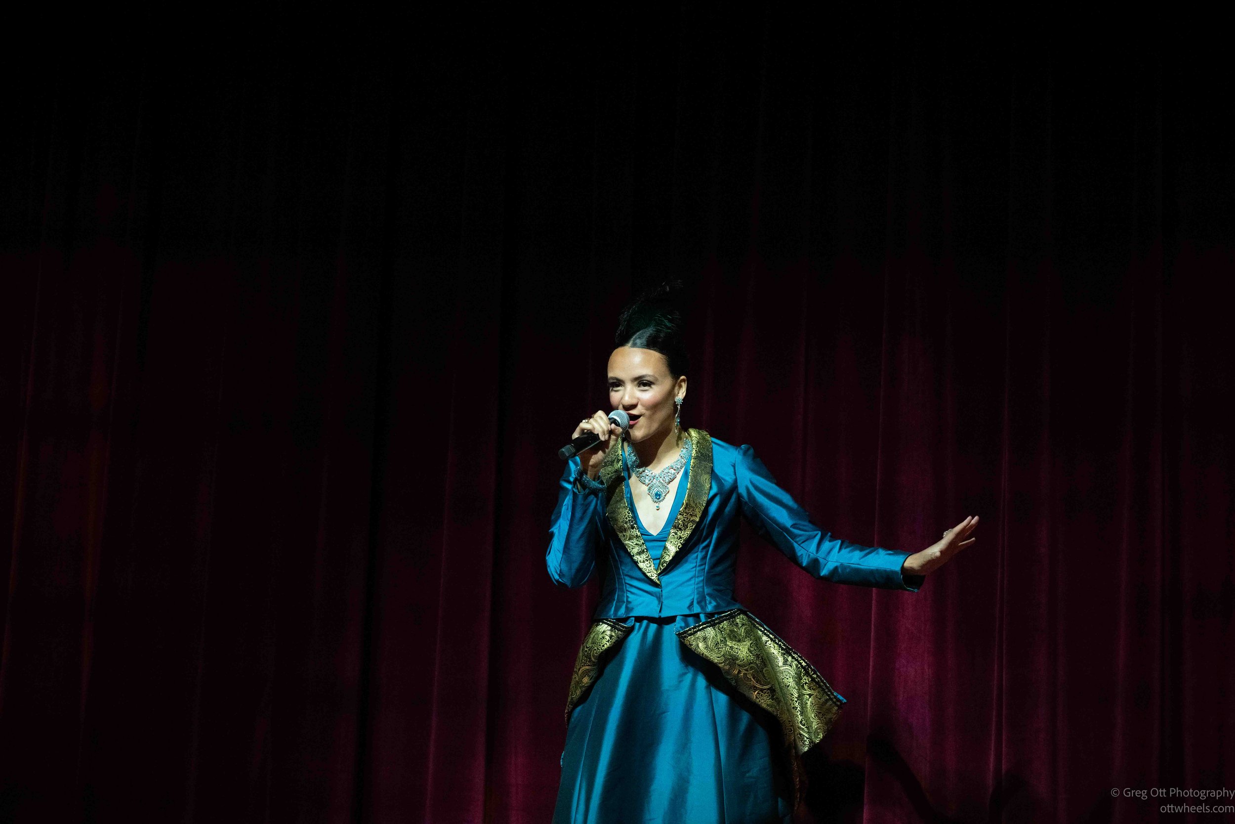
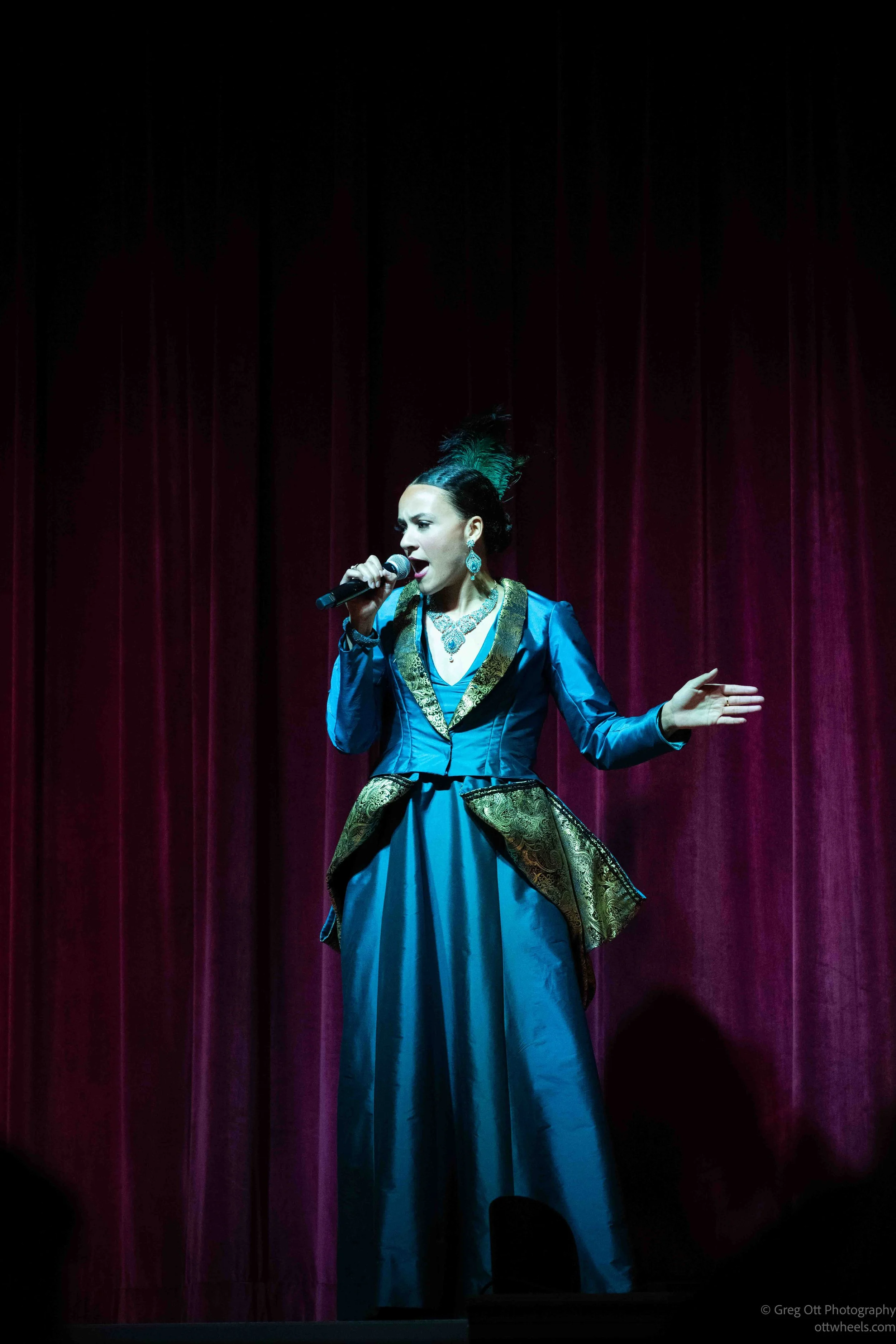
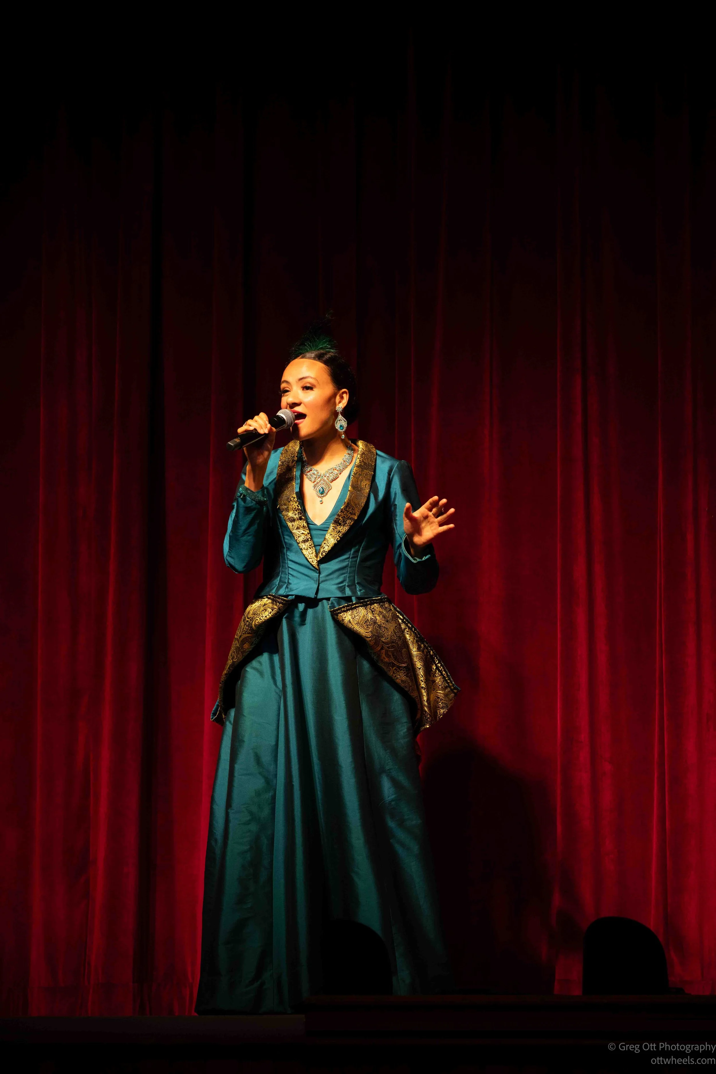
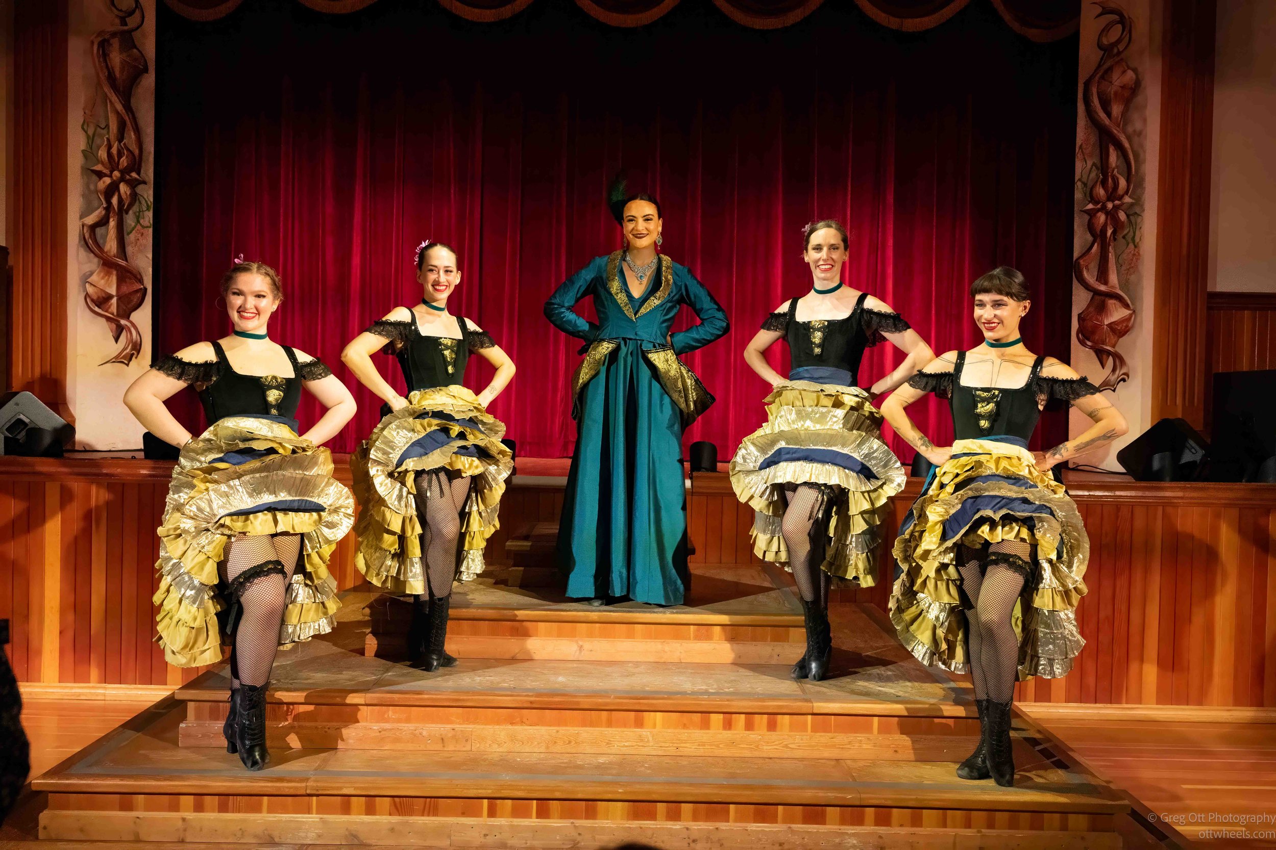
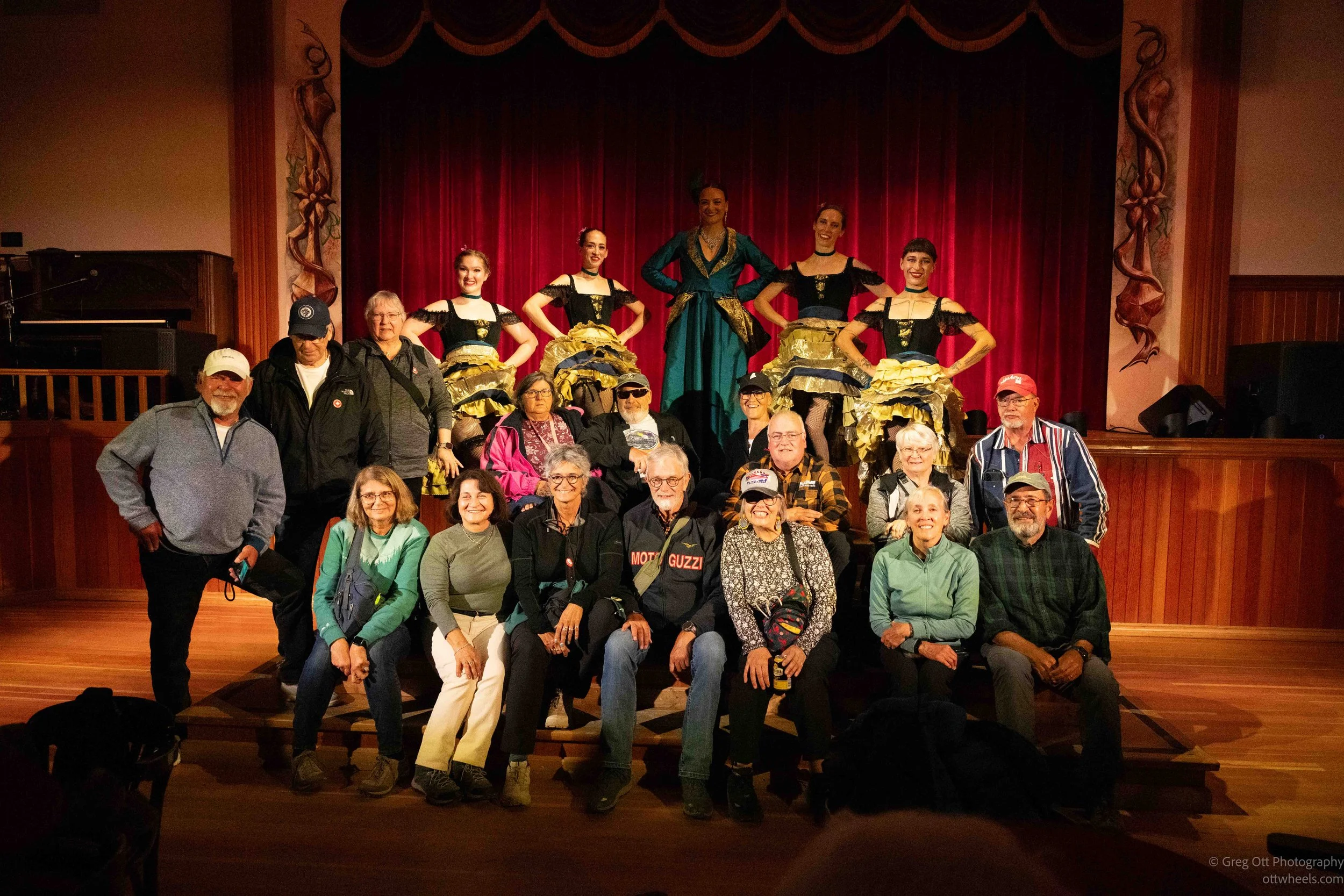
At exactly 8:30, the curtains opened and the show took off. A singer in an elaborate blue and gold dress served as the host and vocalist, with four dancers performing a fast-moving series of routines. It wasn't simply four women standing in a line doing the stereotypical cancan. There was a lot more choreography than I expected, with the dancers constantly moving across the stage, changing formations and costumes and working through routines that were sometimes athletic and sometimes deliberately comic.
Of course, there was plenty of the traditional cancan: enormous layers of brightly colored skirts, synchronized kicks and skirts flying everywhere. Purple, blue, orange, pink, green and gold seemed to fill the stage. At one point one of the dancers went into a handstand with her legs in the air while the others continued around her. Another routine had all four dancers performing with transparent blue umbrellas, followed by another costume change and another completely different number. The pace rarely slowed.
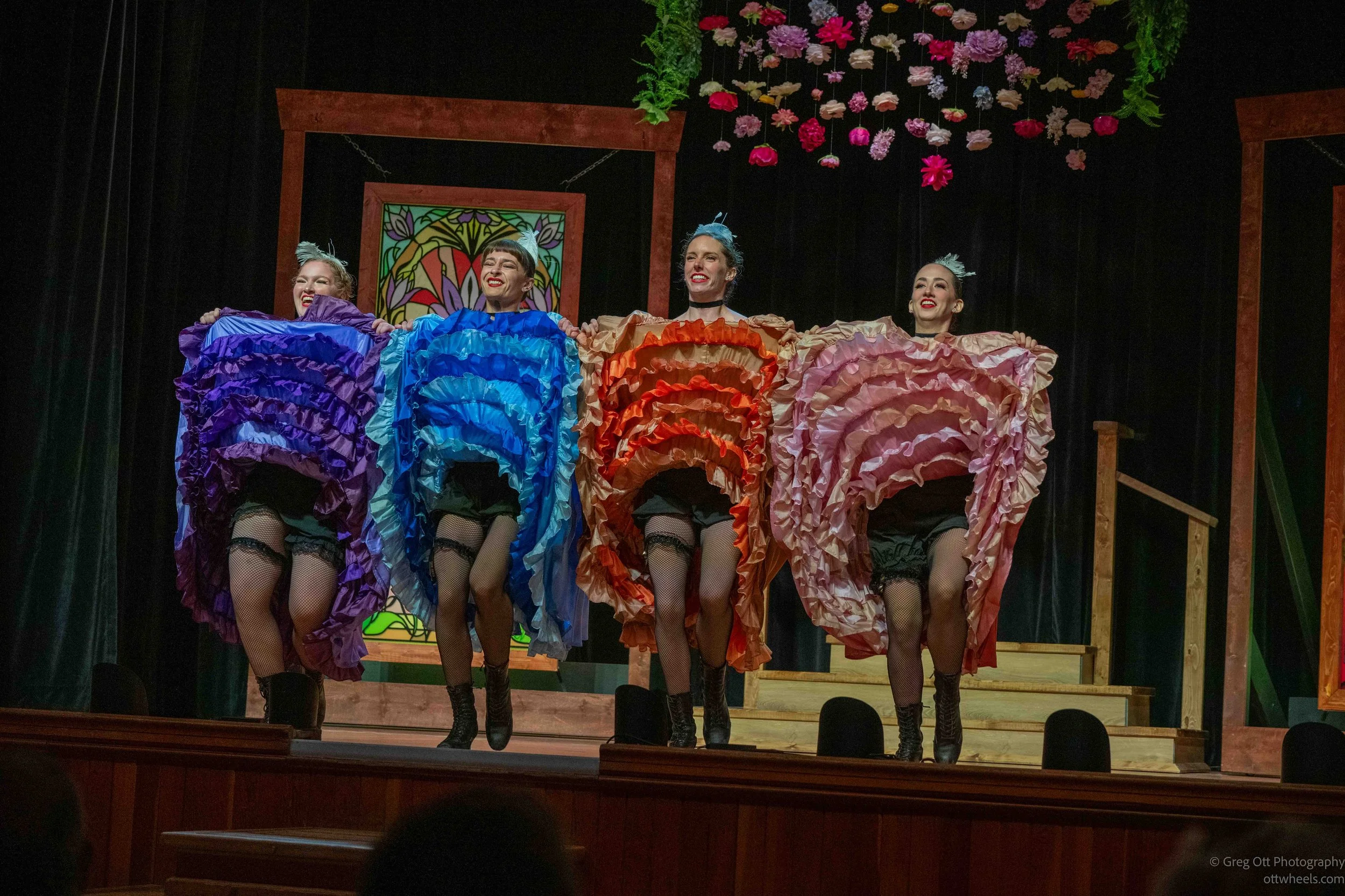
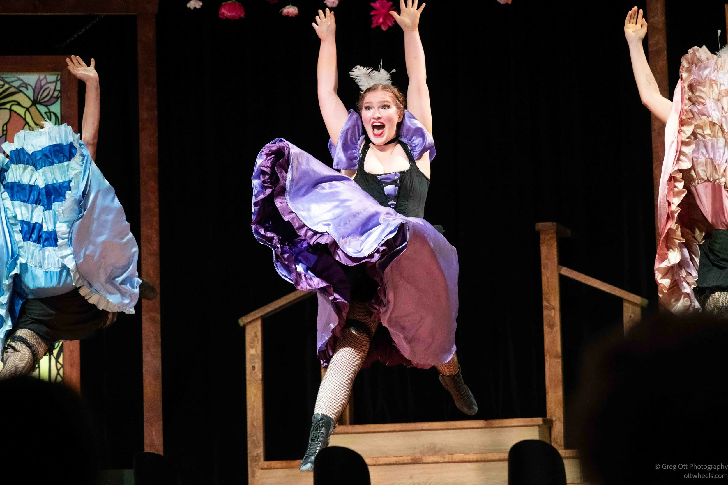
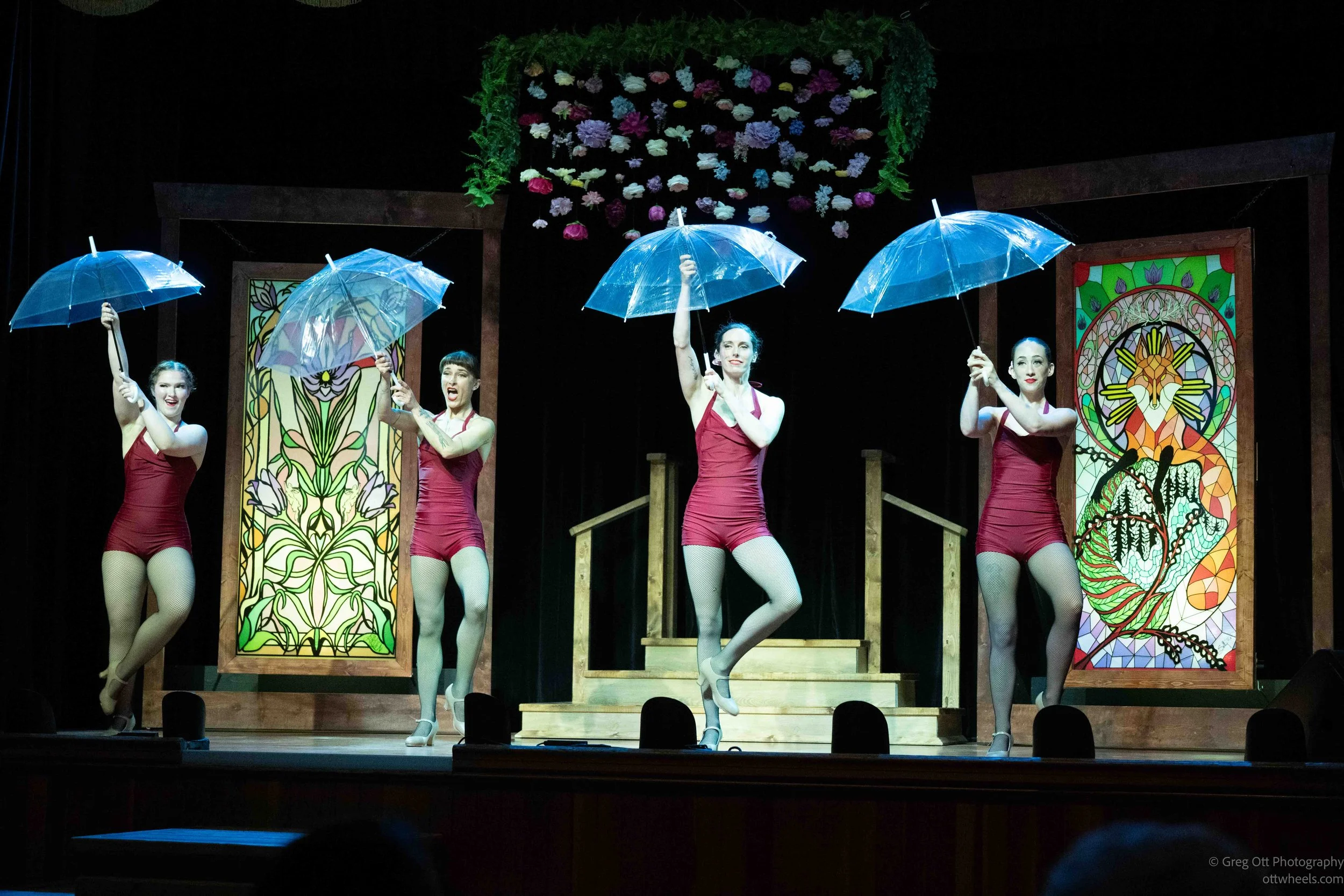
What surprised me most was how physical the performance was. The photographs make that even more obvious than it seemed while I was watching. There were high kicks, jumps, handstands and dancers launching themselves into the air while somehow managing all those layers of fabric. The facial expressions were part of the performance too. Everything was exaggerated just enough to make it funny without turning the entire thing into a parody.
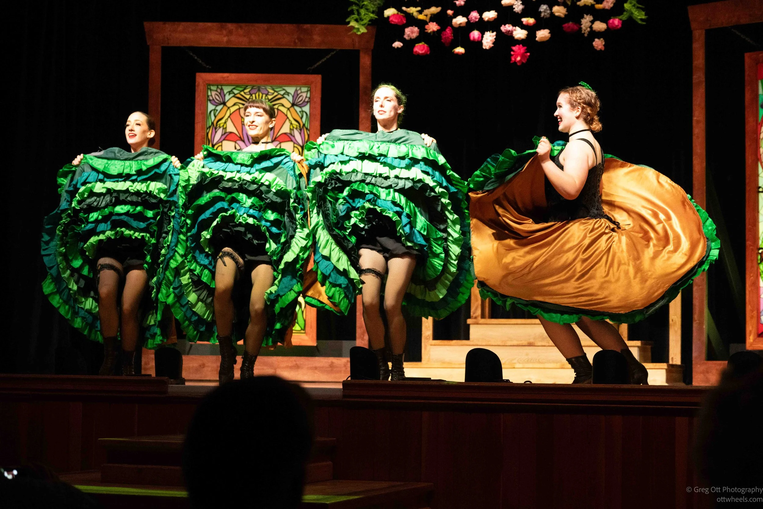
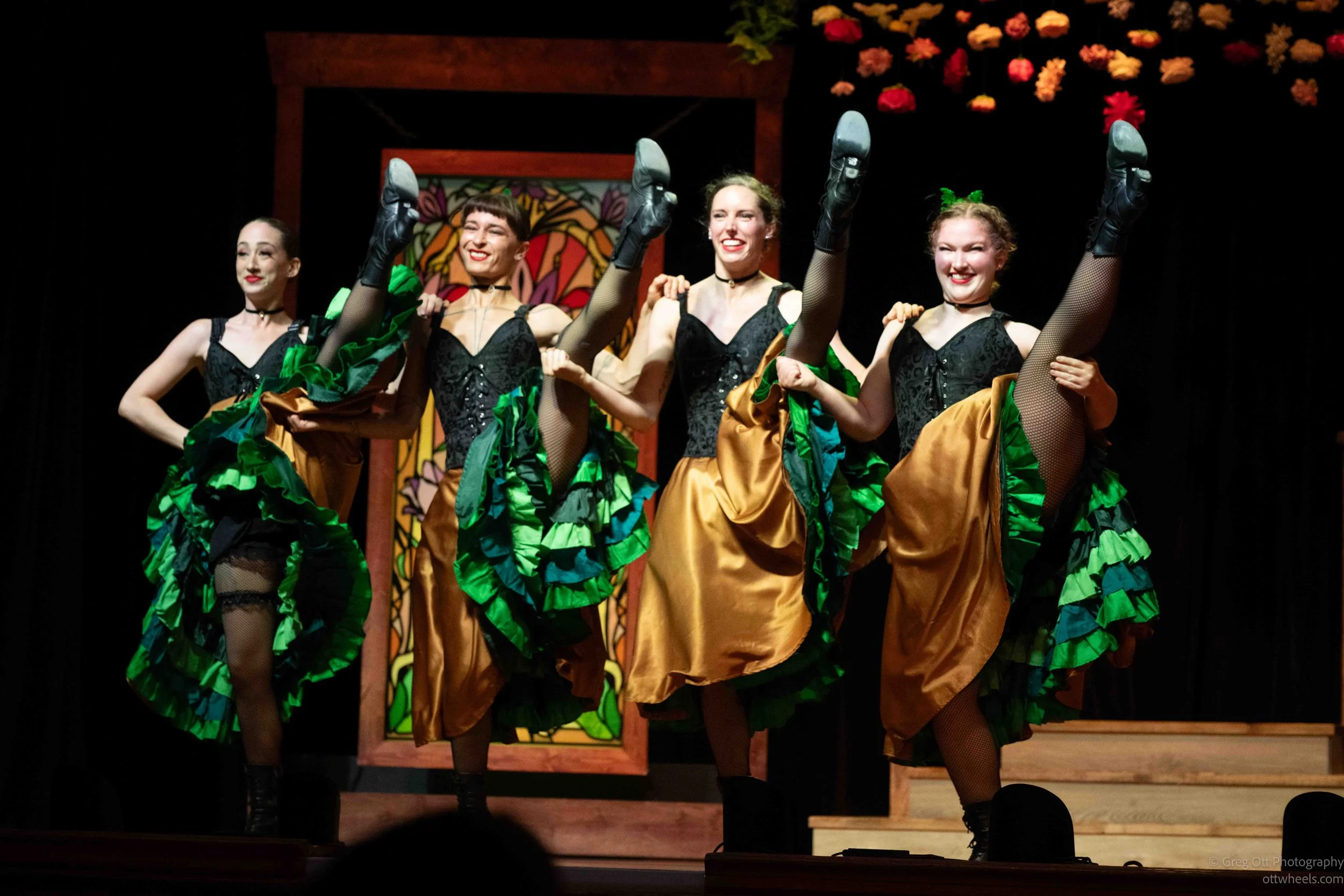
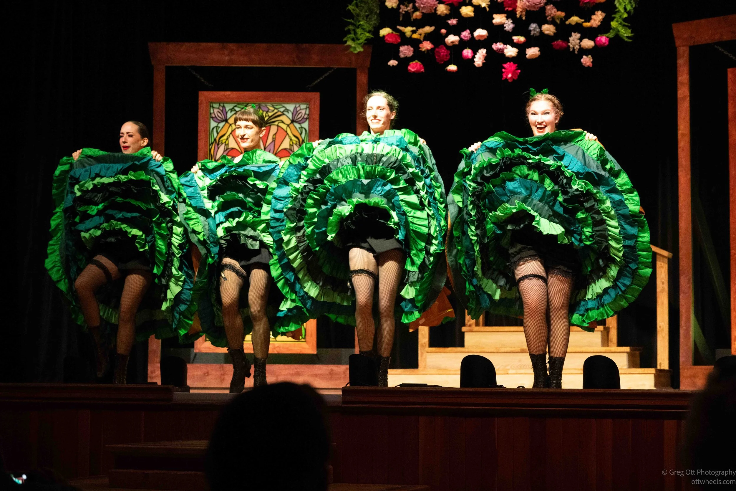
The singer tied the different numbers together, sometimes performing alone against the red curtain and other times singing while the dancers worked around her. The costumes kept changing, but the show maintained the same playful Gold Rush saloon atmosphere throughout. It was polished, energetic and much better produced than the little tourist-town performance I had half expected.
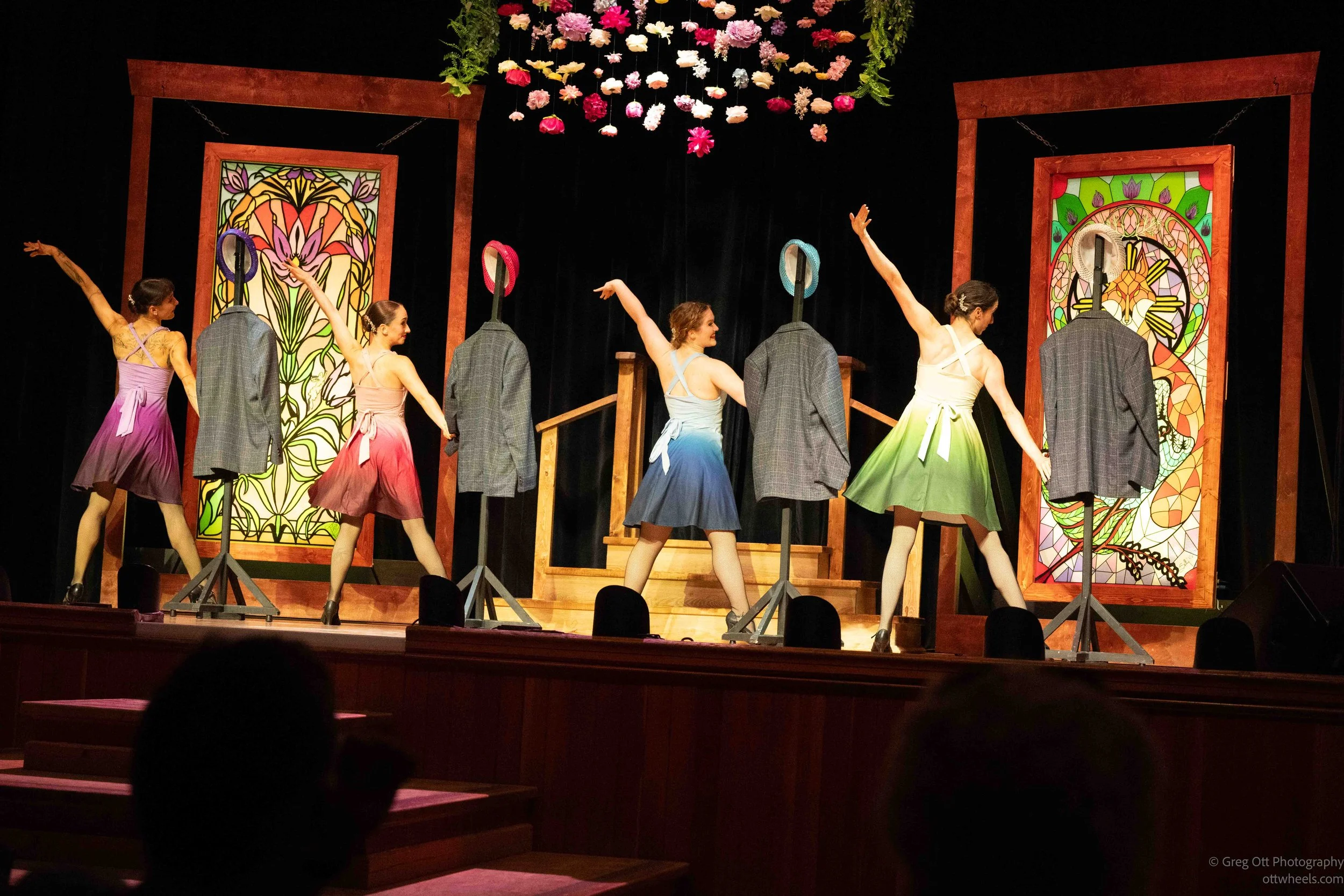
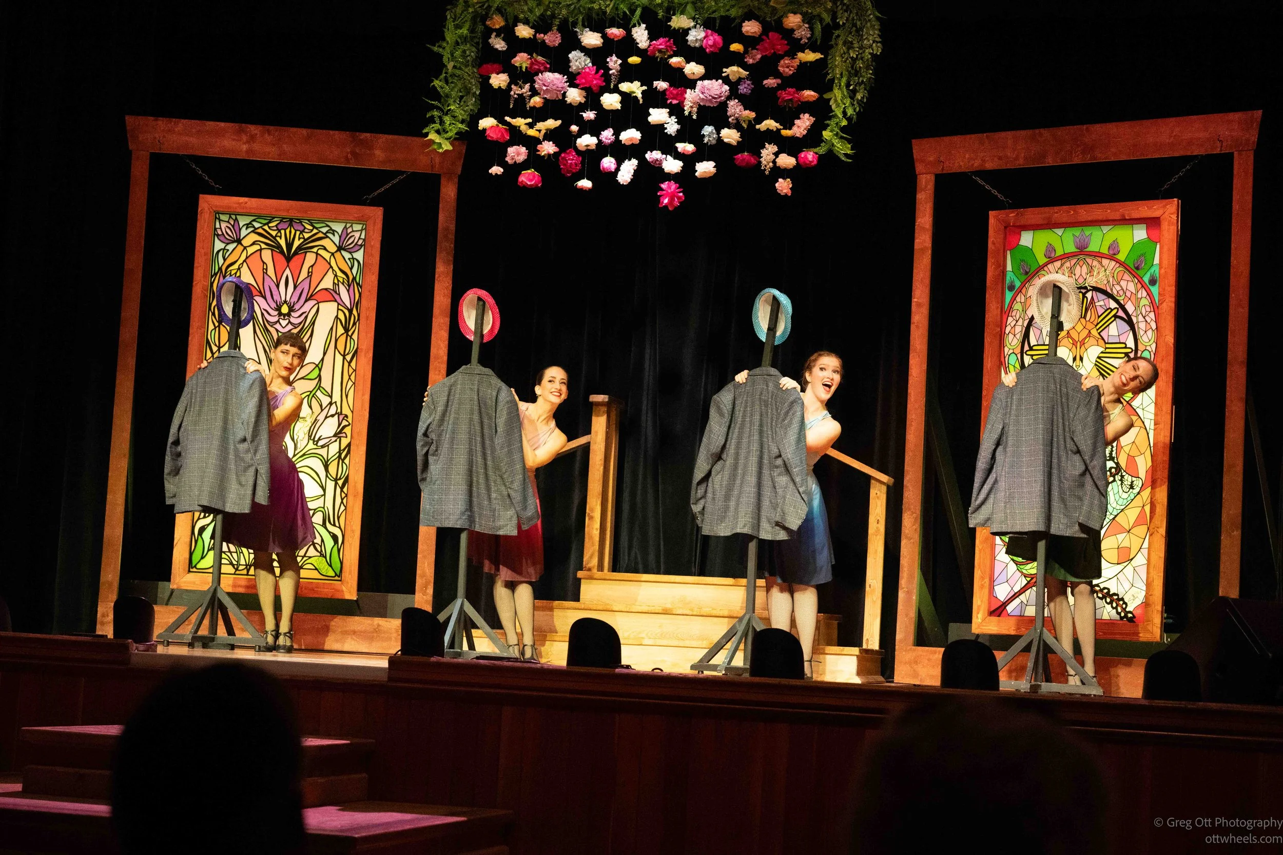
And then there was the audience participation.
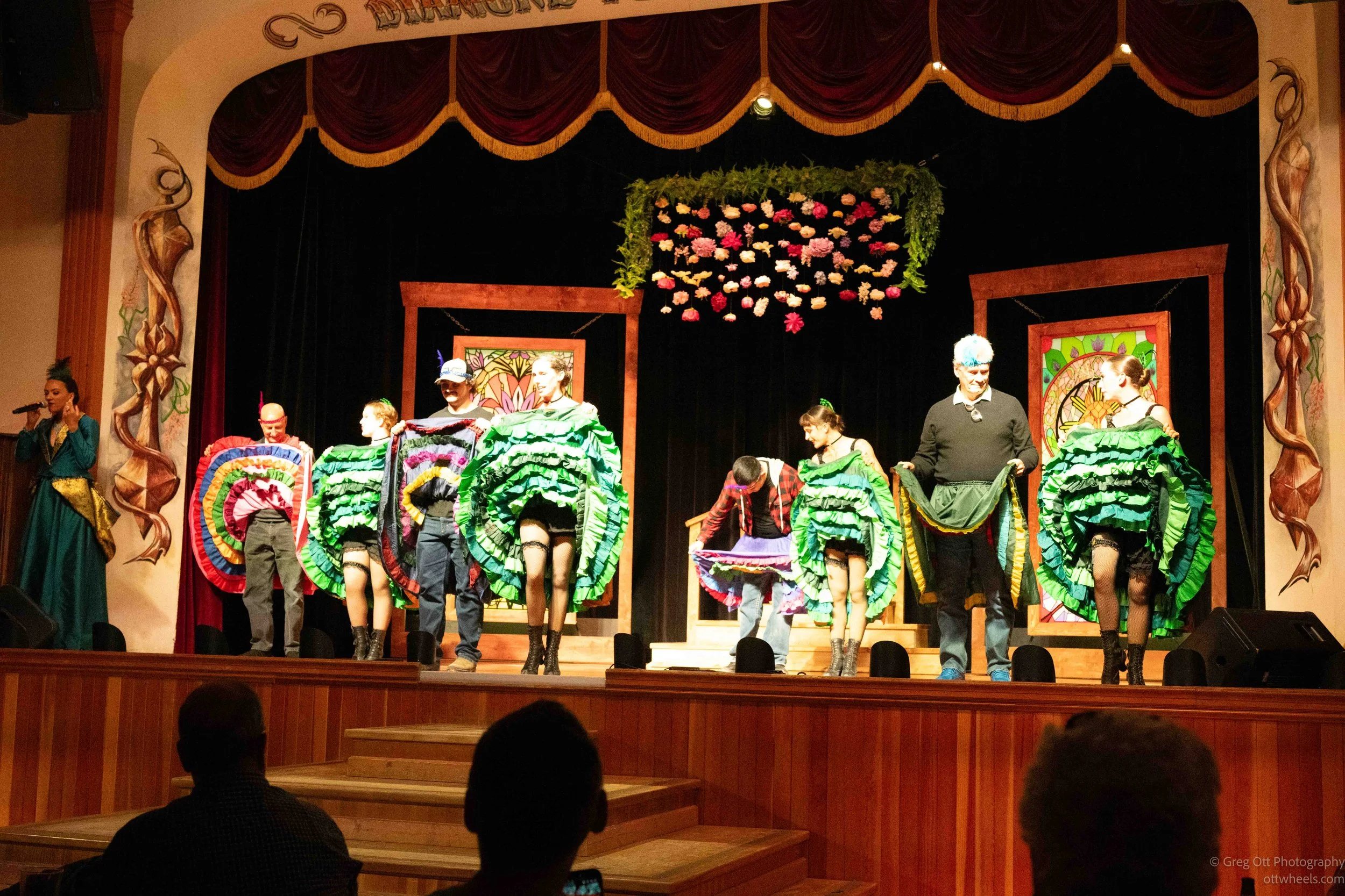
My carefully selected second-row table apparently provided no protection whatsoever. The performers came looking for volunteers, and sitting one row farther back did not make me invisible. So much for that plan.
Midnight Dome
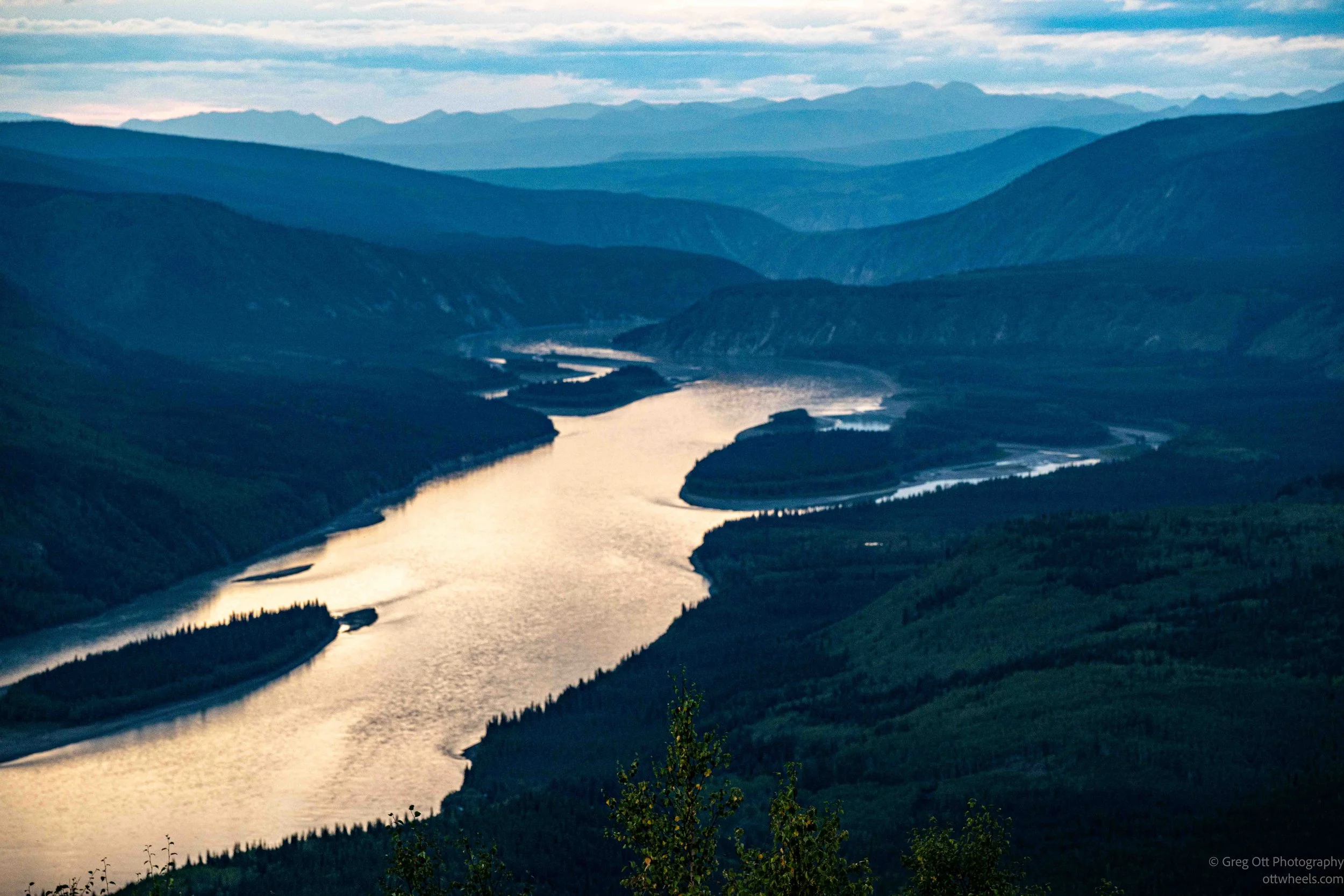
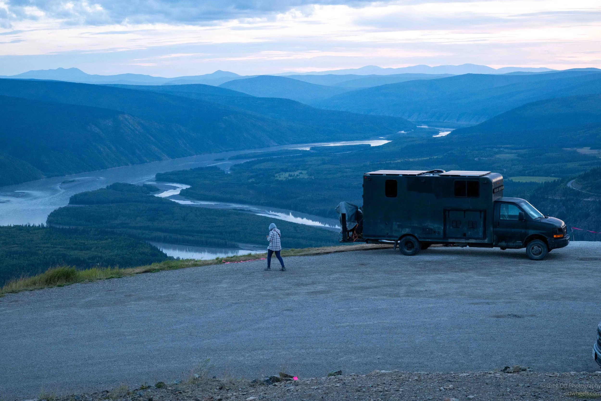
After the show, I drove up to Midnight Dome because it was on my itinerary as a place to look out over Dawson City and the Yukon River. From the top, I could see the river winding through the valley below and the mountains fading into layer after layer in the distance. On the other side, I could see the enormous scars left by mining along the Klondike valley. Even from that distance, the scale of the mining operation was impressive.
I ended up meeting a Swiss couple and talking with them for about 45 minutes. They were from Zurich and were spending 18 months traveling, mostly through Canada. They wanted to see more of the United States, but with the current administration's limits on travel, they were only able to spend a few months there. They had also hoped to spend more time in Alaska, but he said, "That too will have to wait for another trip." I couldn't help thinking about the tourist dollars the U.S. was losing from travelers like them.
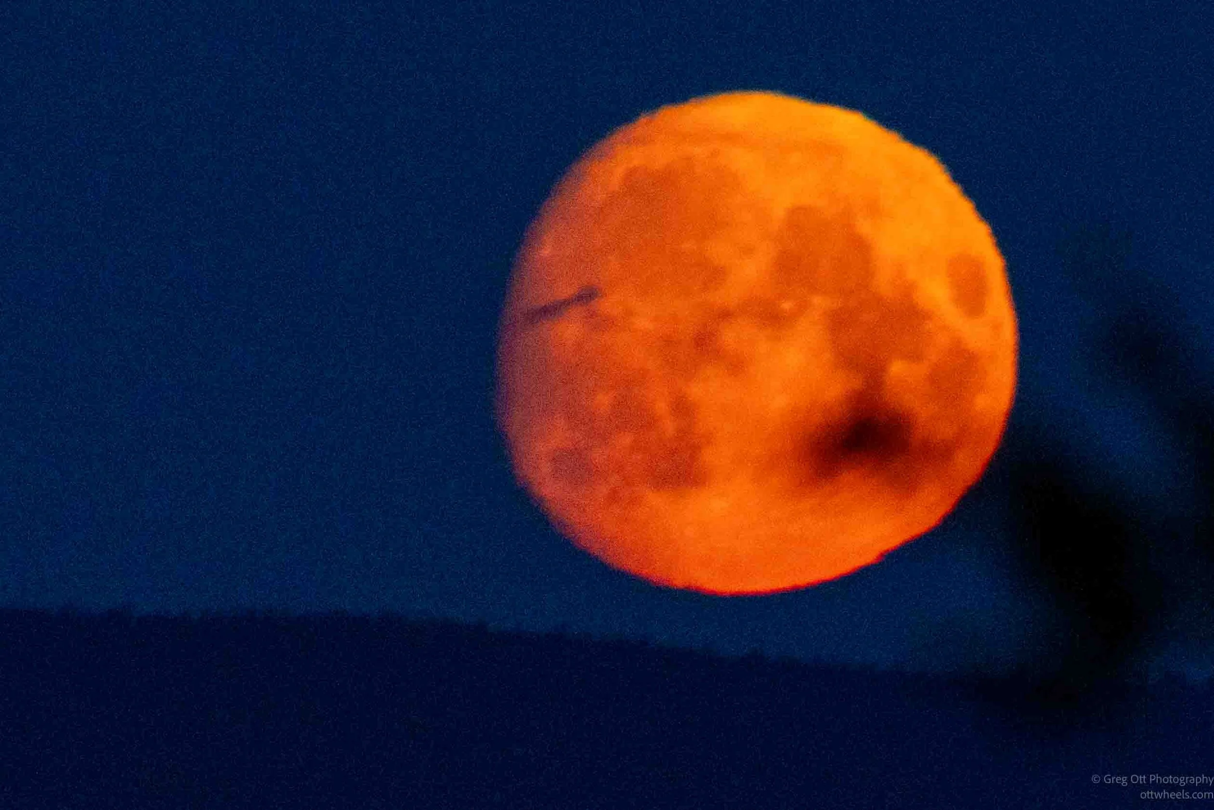
As we were talking, the moon began rising above the distant mountains. It was a waning moon, but near the horizon it appeared enormous and deep orange-red. The color came from viewing it through so much of the Earth's atmosphere, which scattered much of the blue light and left the warmer reds and oranges. Against the almost completely dark sky, it was spectacular.
There were already eight campers and vans scattered around the top of Midnight Dome. I had been planning to drive back down after taking a few photographs, but looking out over the Yukon River in the fading light, with the moon coming up in the distance, I couldn't think of much reason to leave. I decided to stay there for the night.
The drive across the Top of the World Highway and into Dawson City had been one of those days that reminded me why I was making this trip. The spectacular views along the highway, crossing the Yukon River on a ferry, walking streets that still carried so much of the Gold Rush history, and ending the evening high above it all on Midnight Dome made the entire day feel connected. I had also spent hours talking with people I had never met before—from a Belgian motorcyclist at the border to a couple from Switzerland on top of a mountain. I started the day driving across an almost empty landscape and ended it watching an orange moon rise over the mountains.