Davis Dam and Laughlin, NV
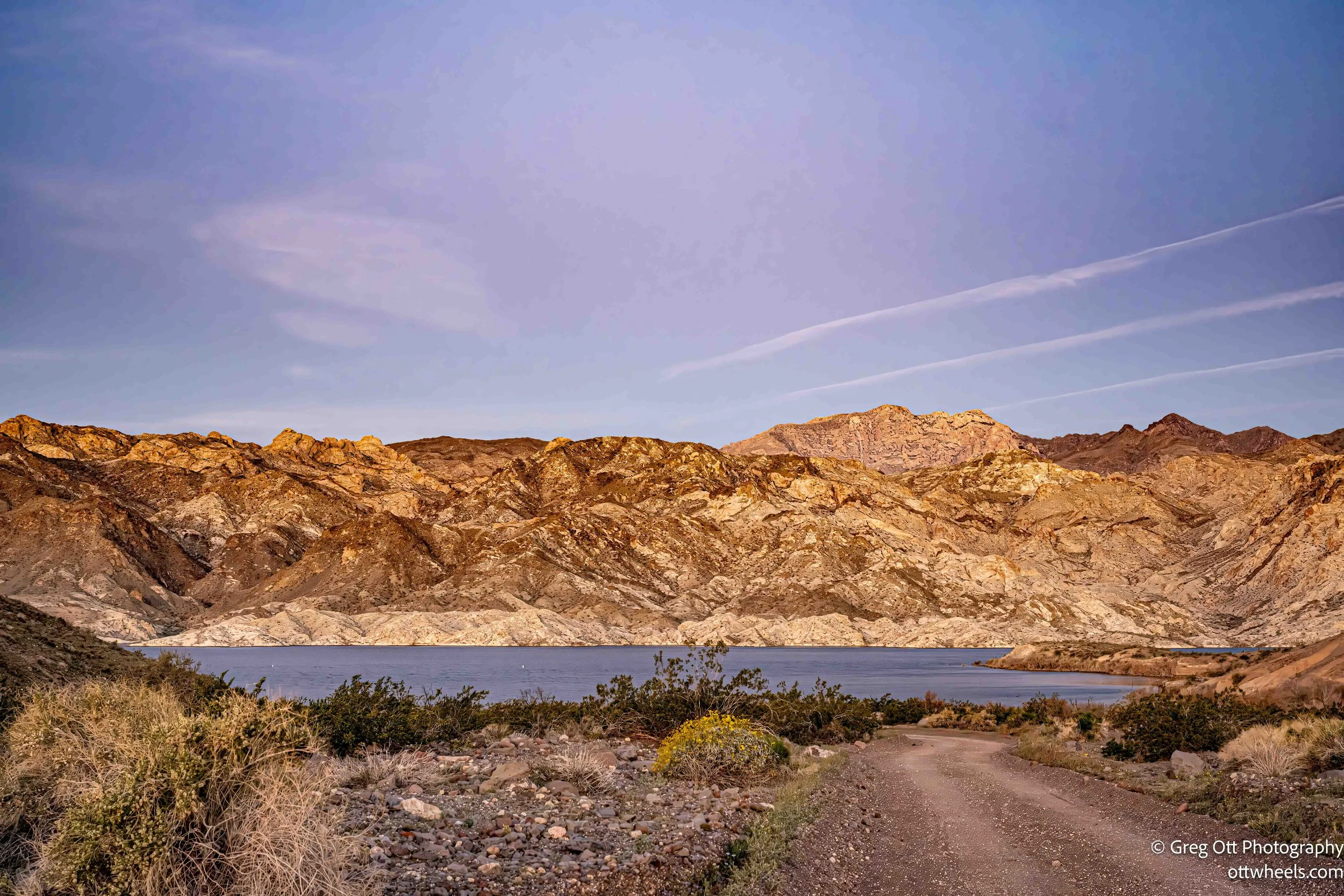
I woke around 6:30 and eased out of my lakeside spot. The neighbors who were worried I might block them in were still asleep, their windows dark, their concerns apparently resolved by unconsciousness. I rolled a quarter mile up the hill and pulled over where the view opened up. The sun was just clearing the horizon, lighting the mountains beside Lake Mohave in a soft wash of gold. The water was still. The desert was quiet. It was one of those simple moments that makes you glad you got up early.
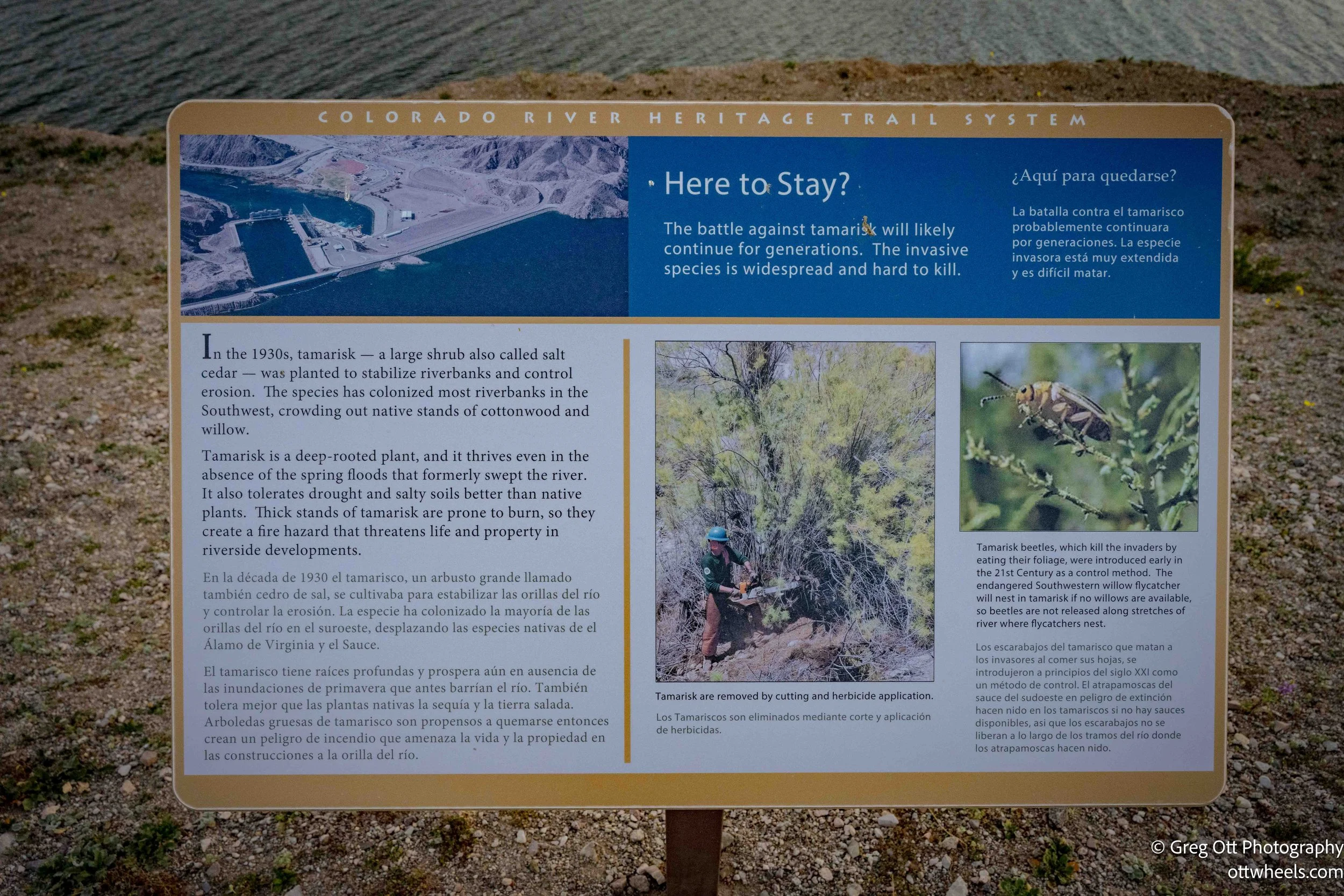
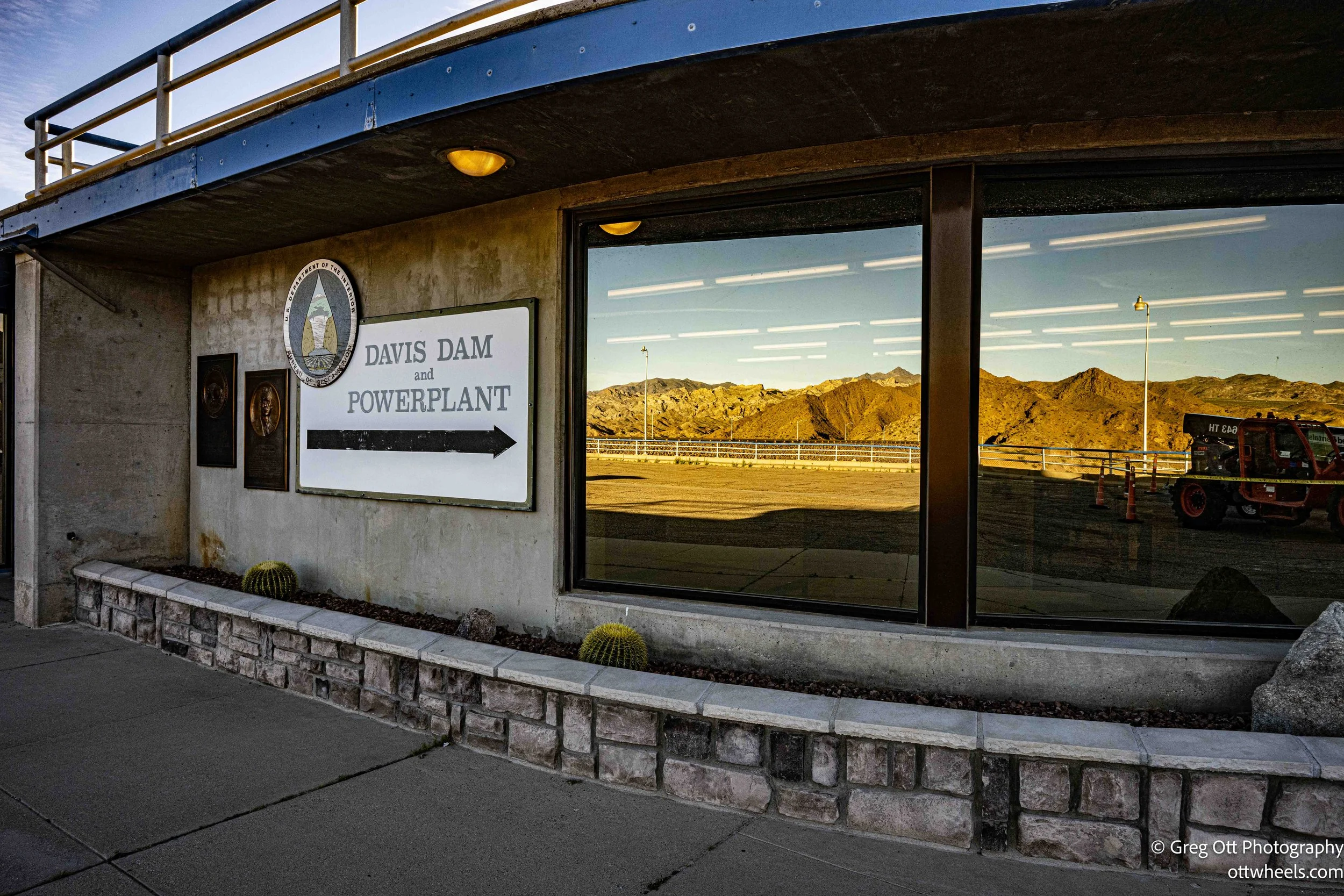
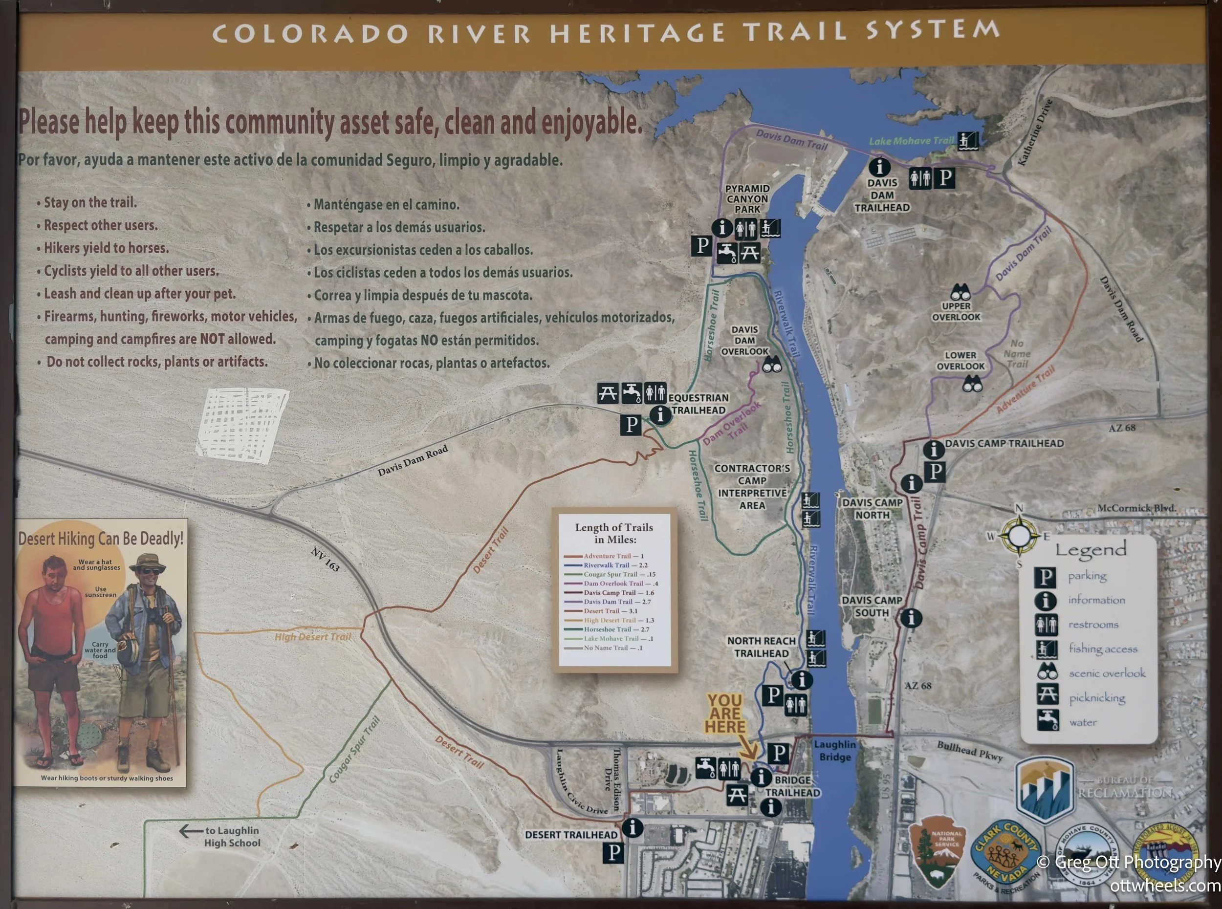
My first stop was Davis Dam, just a few miles down the road. I turned onto Old State Route 68 toward the dam. The road itself was blocked at the structure, but it was early and only a few cars were scattered around. Birds were calling from every direction. I wandered slowly, reading the plaques—construction details, environmental impact, invasive plant species, fish habitat, recreation, electric generation. It was more than an earthen wall holding back water. It was an entire system.
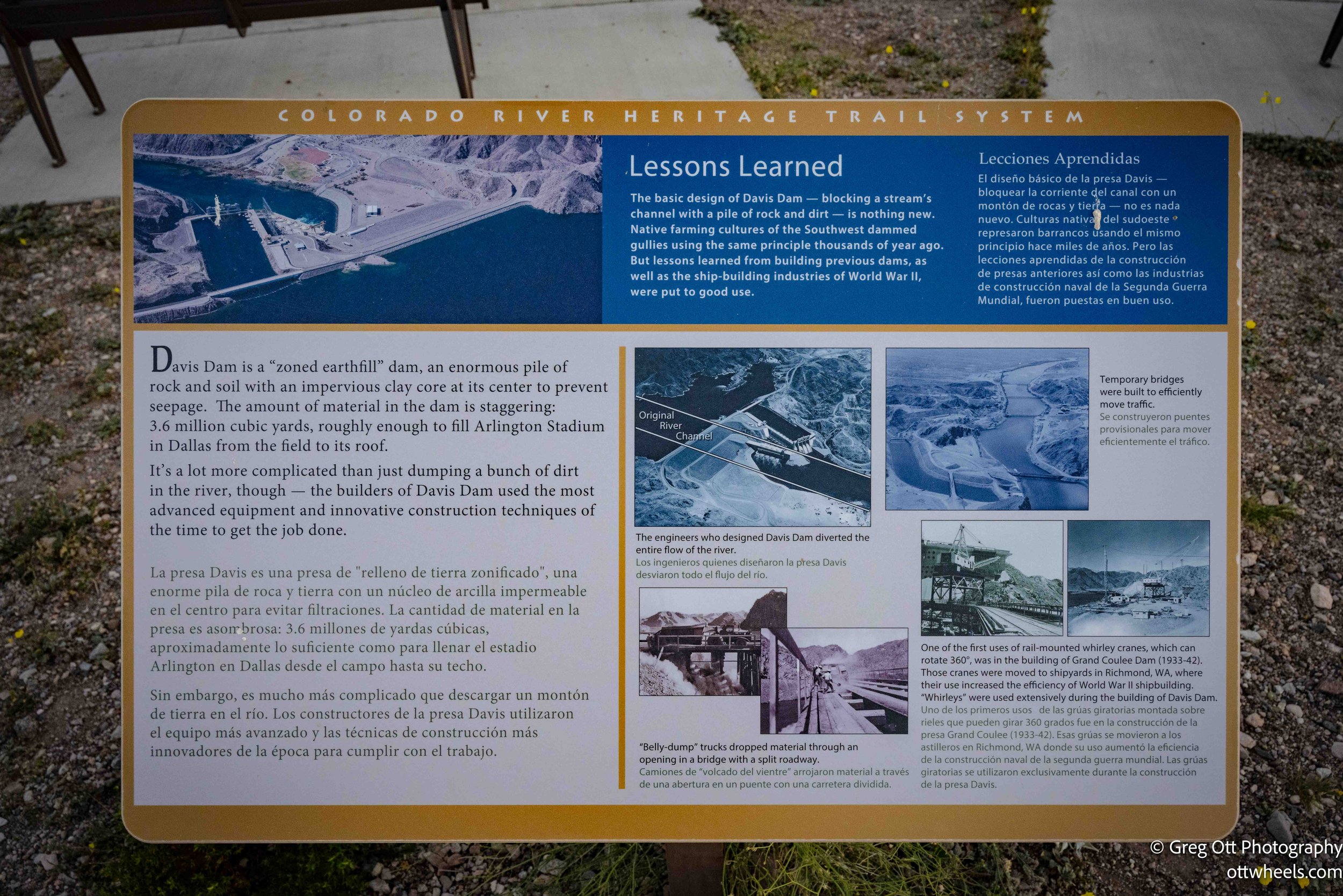
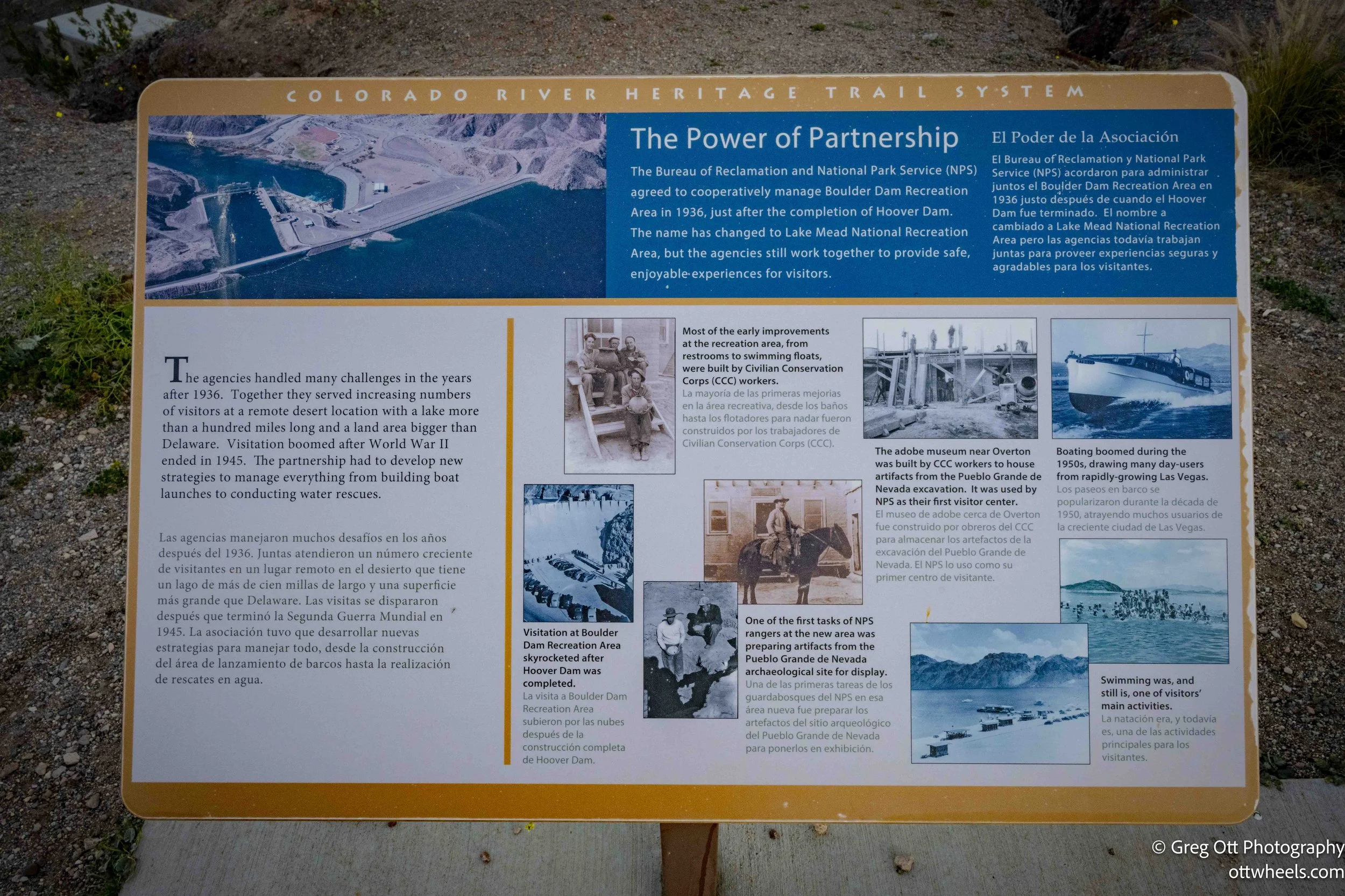

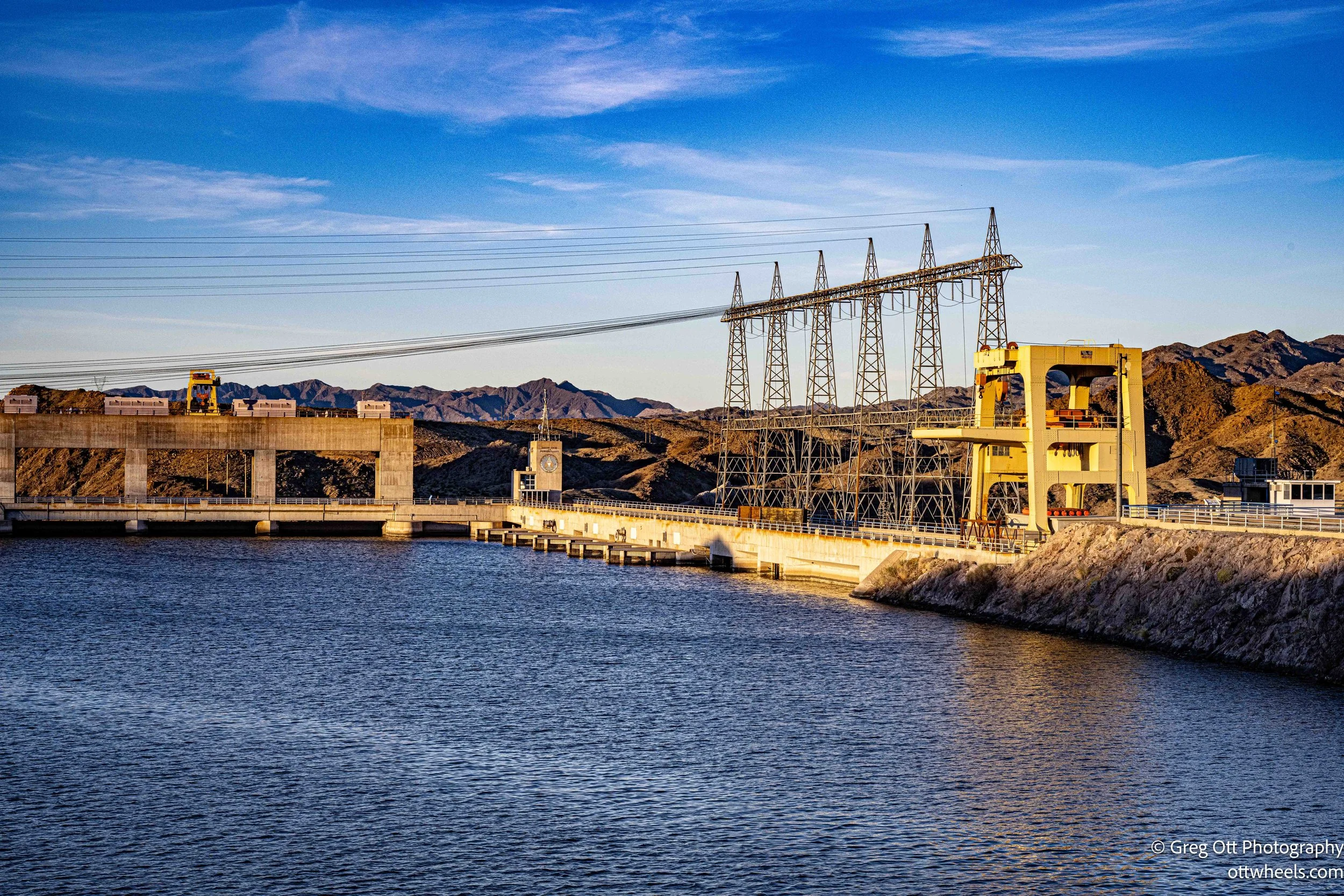
Construction on Davis Dam began in 1942 during World War II and was completed in 1951. The dam was built by the U.S. Bureau of Reclamation as part of the broader Colorado River storage and power system. Its primary purpose was to regulate releases from Hoover Dam, smoothing out water flow for downstream users in Arizona, California, and Mexico. Hoover created Lake Mead. Davis created Lake Mohave. Together, they turned a once-wild river into something engineered and scheduled.
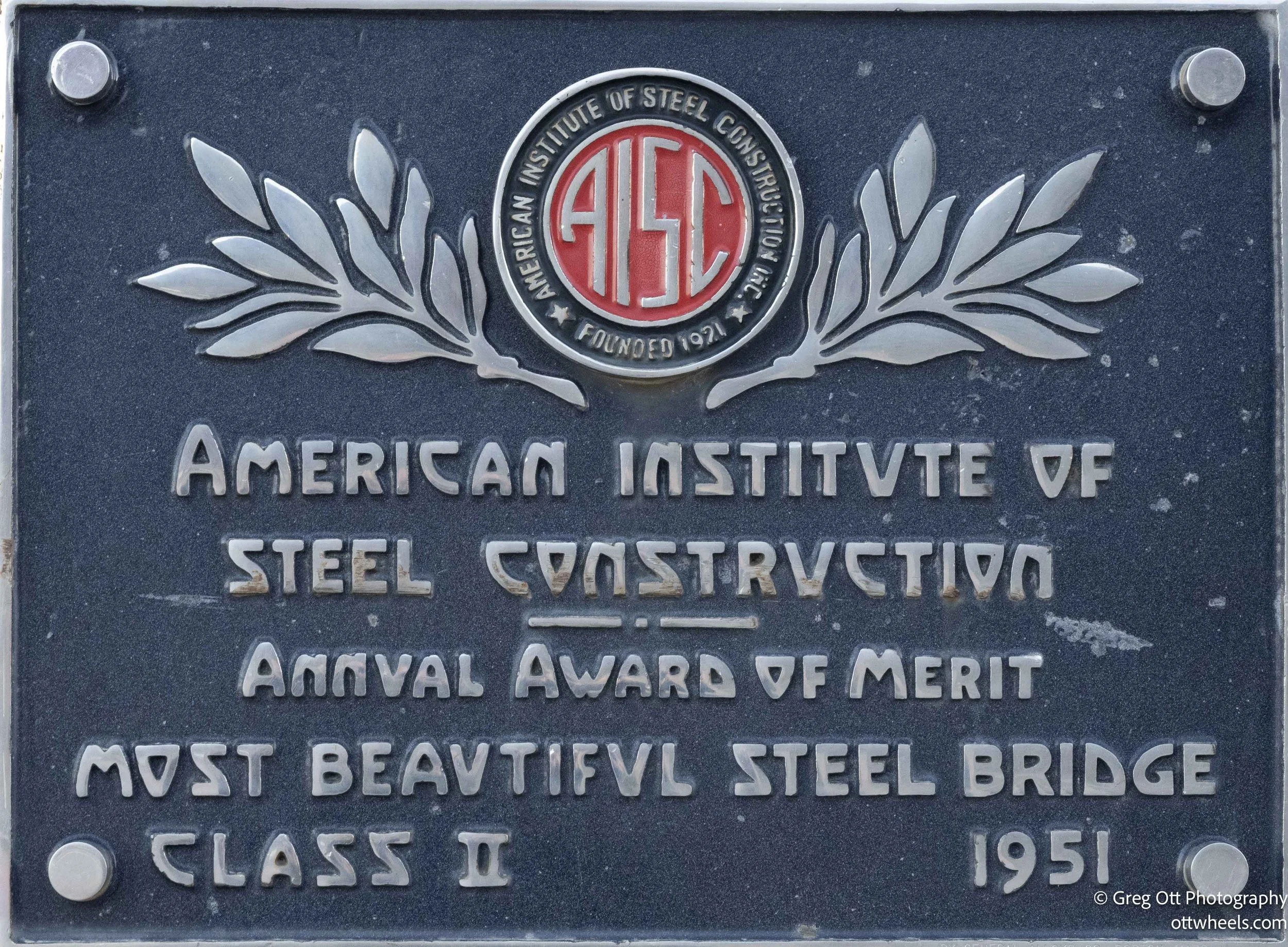
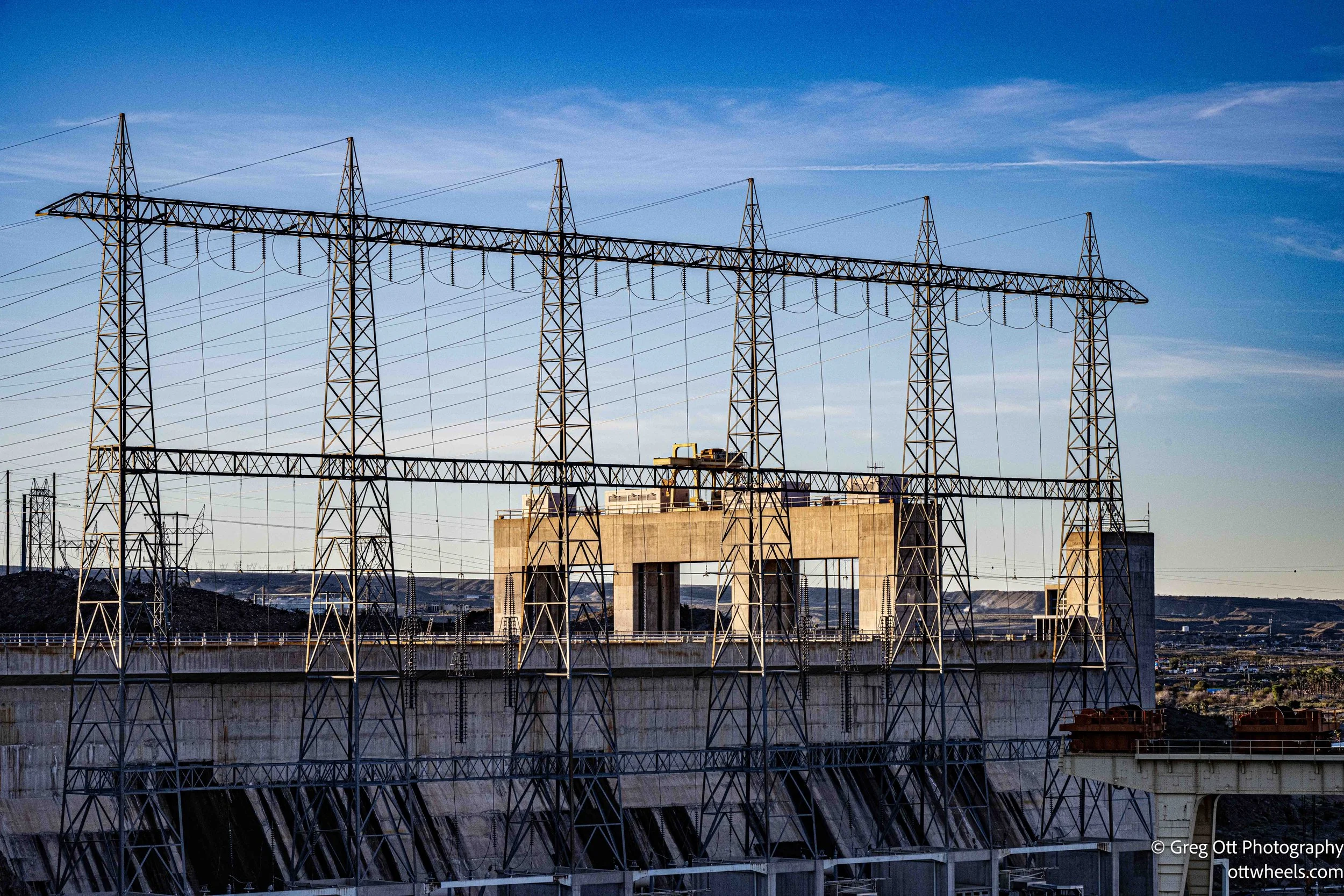
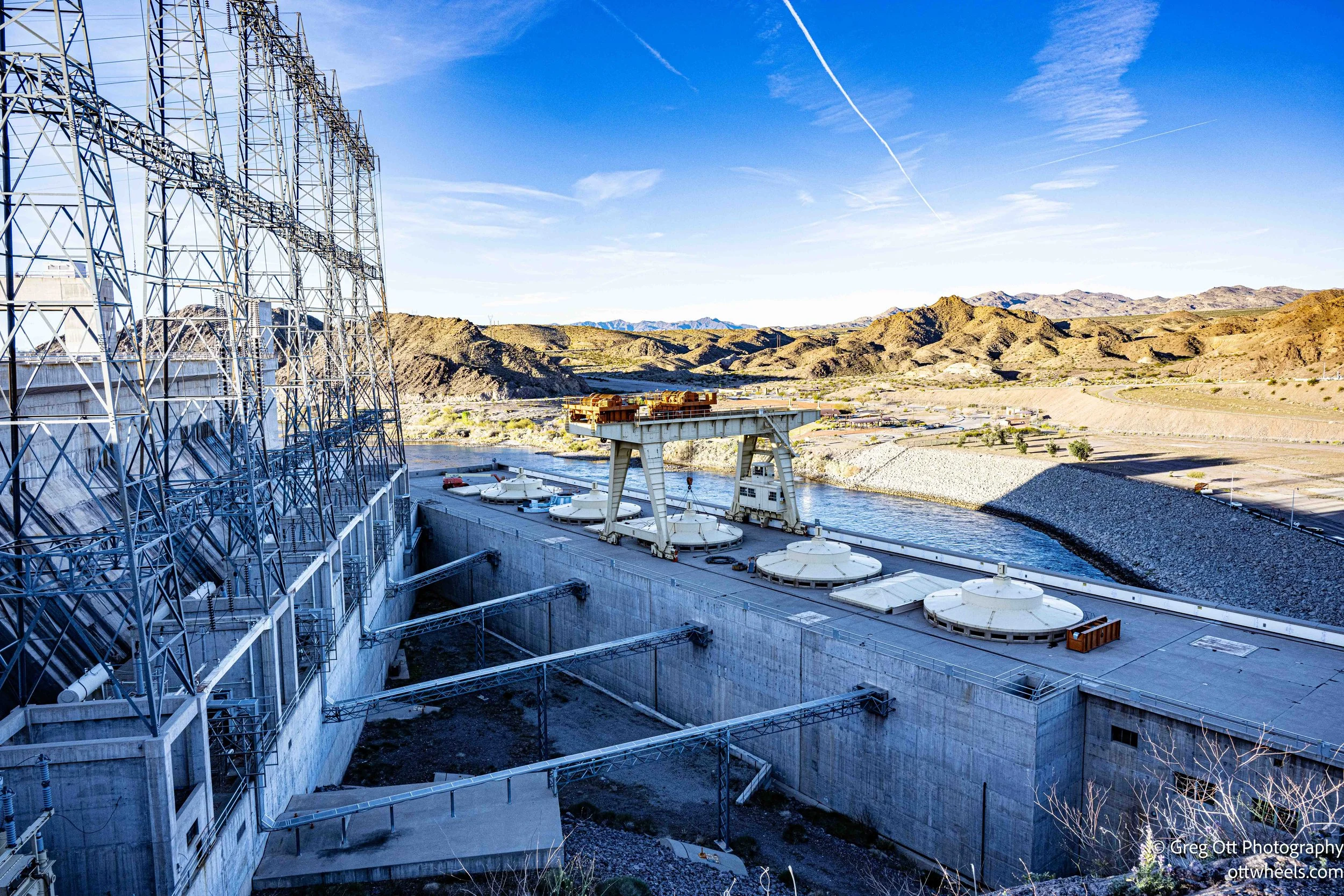
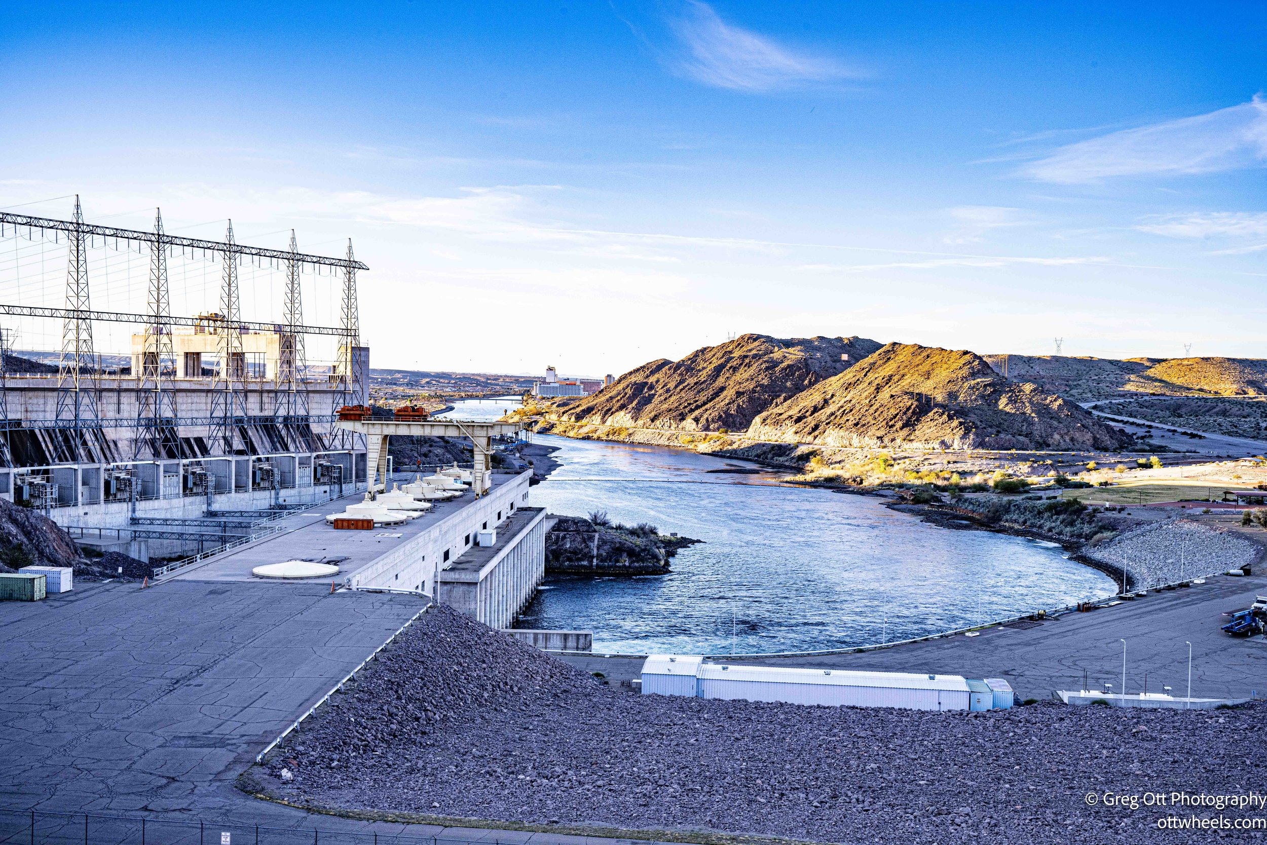
Davis is an earthen dam—less famous than Hoover, less dramatic—but massive in its own right. It stretches roughly 1,600 feet across and rises about 200 feet above the riverbed. At its base, it is nearly a quarter mile wide. When I hear “earthen dam,” I think fragile. But that’s not how it works. These structures are engineered with layered earth, rock, and compacted fill, designed to absorb pressure rather than resist it like concrete. They are often less expensive to build and maintain, and in many cases more adaptable to the landscape. The power plant at the base of the dam contains five large generators capable of producing over 250 megawatts of electricity—enough to power tens of thousands of homes. The revenue from that electricity helped repay construction costs far faster than irrigation projects alone ever could.
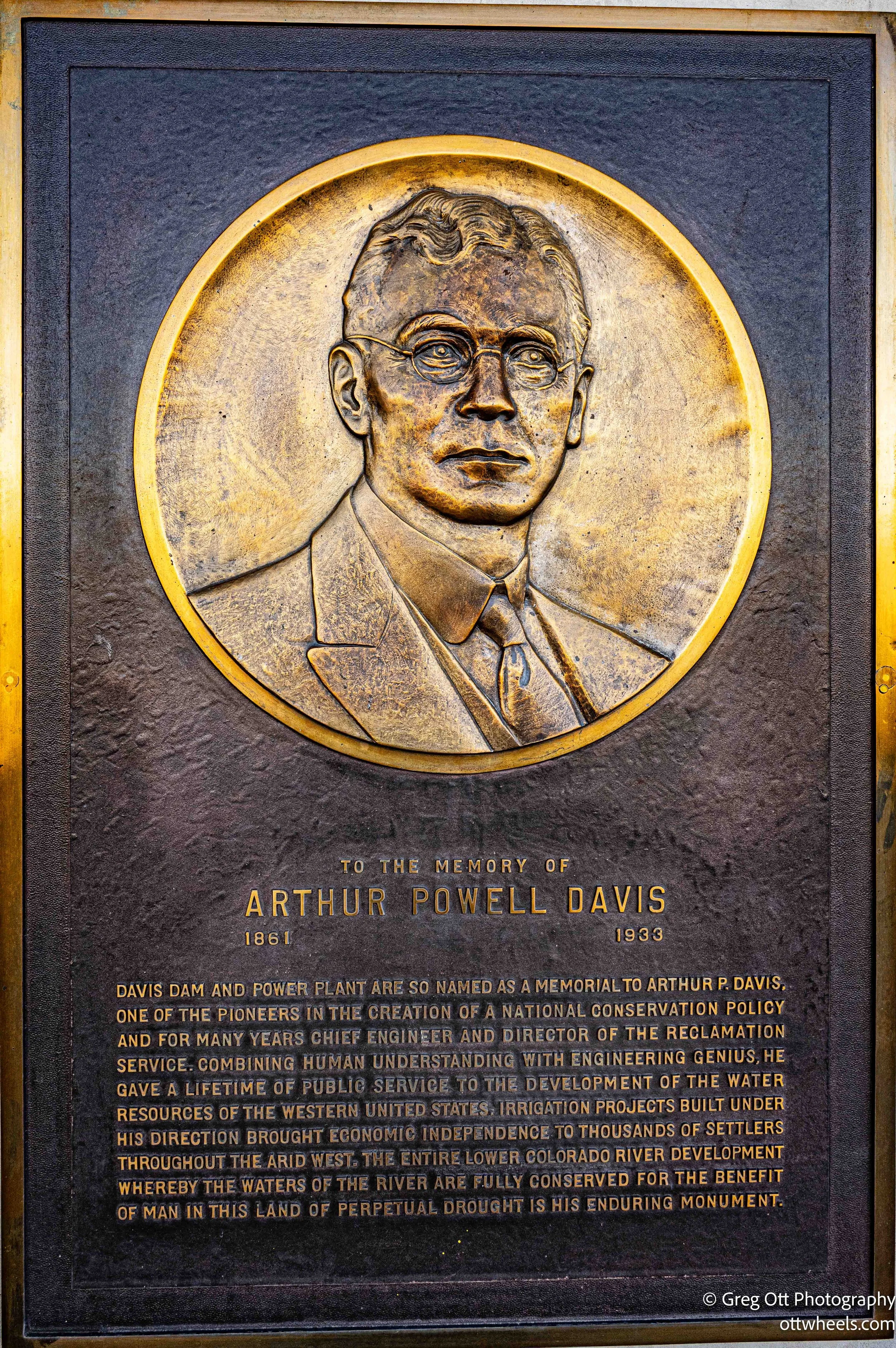
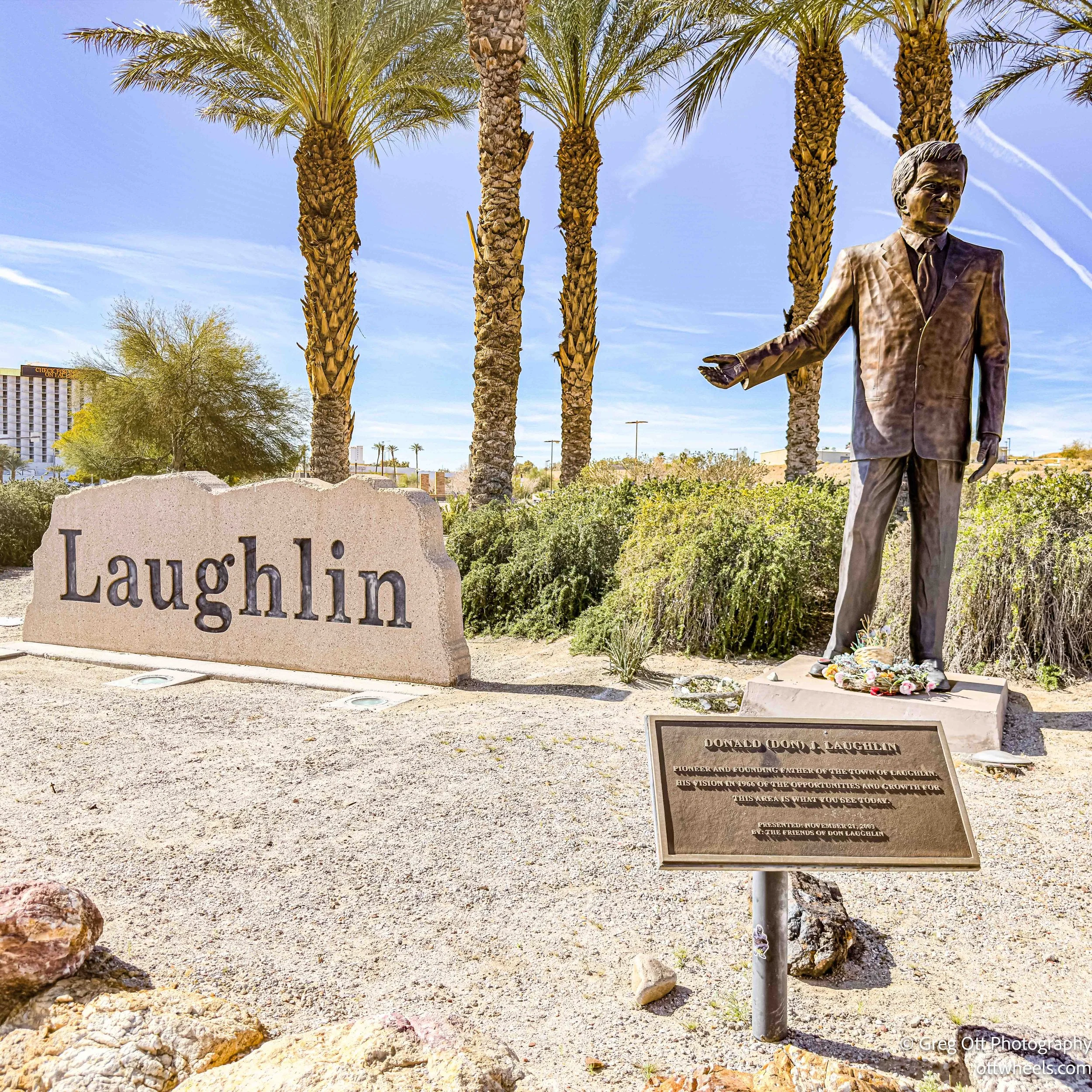
The dam is named after Arthur Powell Davis, a hydraulic engineer and director of the Bureau of Reclamation in the early twentieth century. He was the nephew of John Wesley Powell—the one-armed Civil War veteran who famously explored the Colorado River through the Grand Canyon in 1869. Arthur Powell Davis spent much of his career pushing for systematic development of the Colorado River Basin. He believed the river could be measured, studied, and managed for agriculture and growth in the arid West. Naming the dam after him was a nod to that vision—less romantic than his uncle’s expedition, but arguably just as transformative.
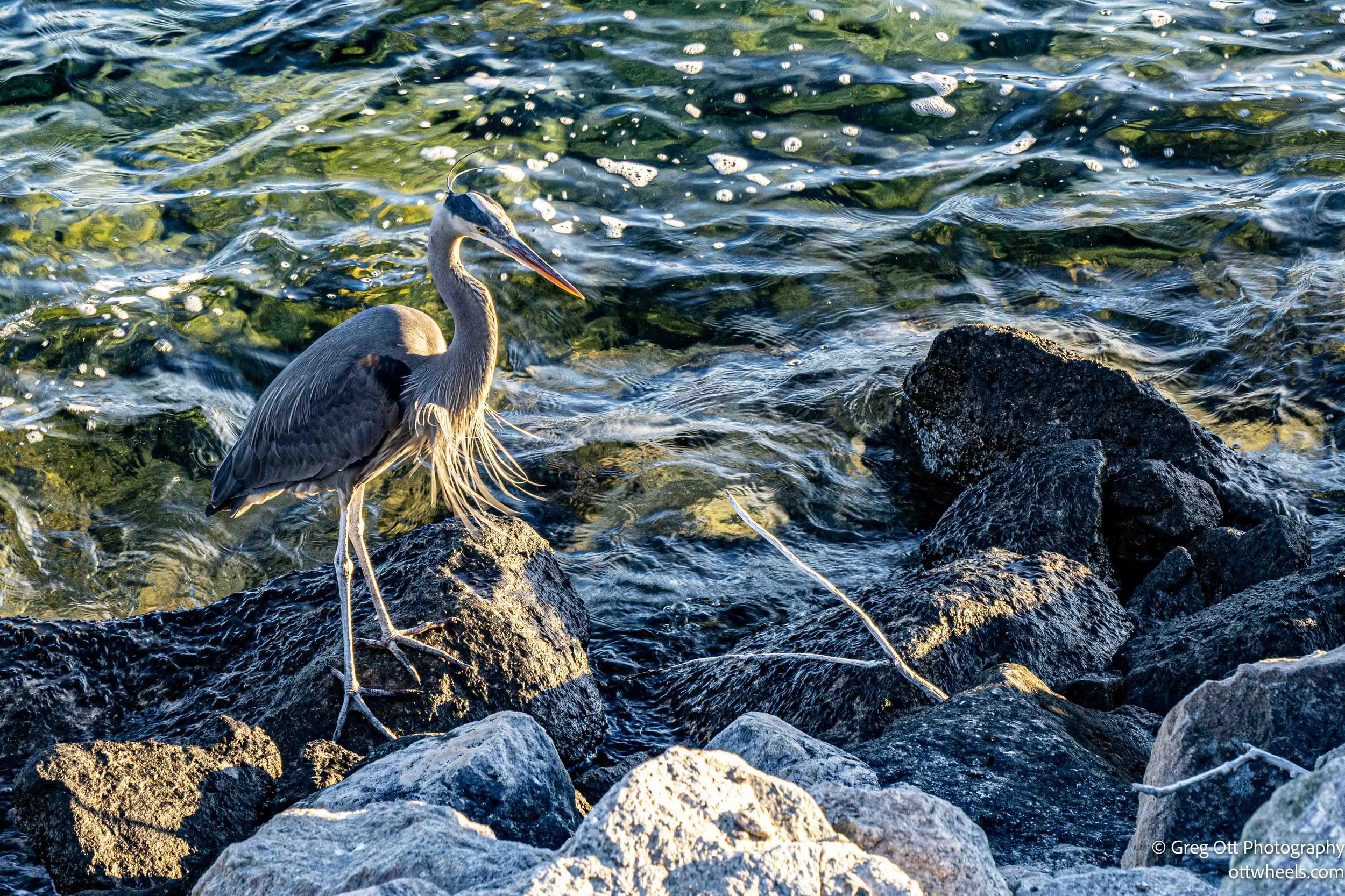
I walked across the top of the dam and around the administrative buildings. Below me, on the rocks near the waterline, a gray heron stood frozen, waiting for something invisible beneath the surface. It saw me. I know it did. But it didn’t flinch. I stood there for 20 minutes with the camera ready, expecting a sudden strike. Nothing. No drama. Just patience. Eventually I moved on.
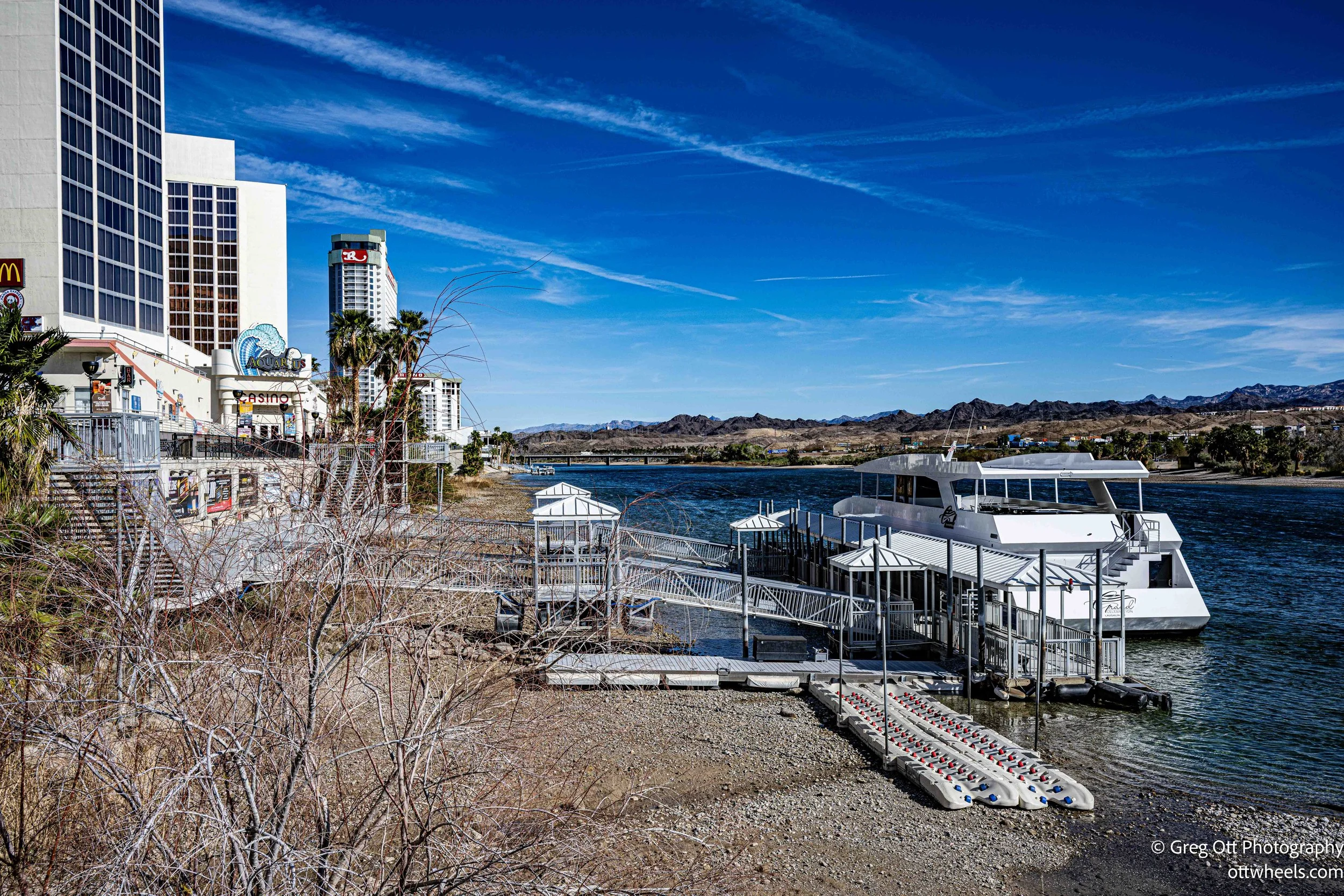
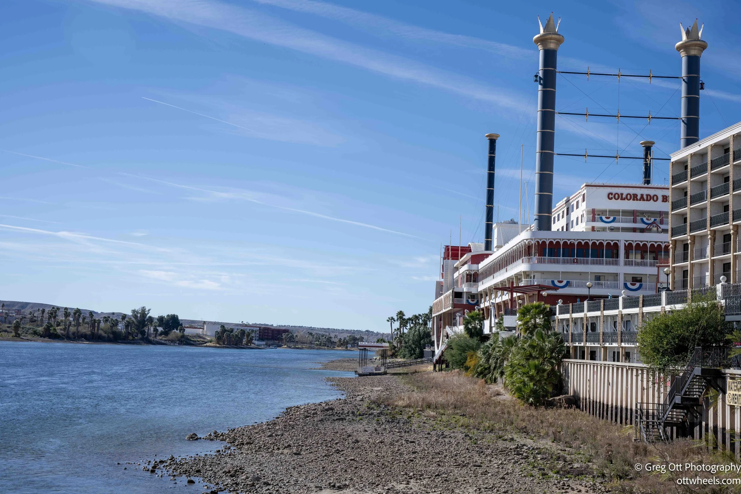
Downstream, I could see Laughlin hugging the river. The Colorado River slid south from the base of the dam, controlled and deliberate now. Below the observation area were the penstocks—massive steel pipes carrying water downhill through the turbines. The plaques explained it simply: water enters the intake towers, flows through those huge pipes, spins the turbine blades, which turn generators, which create electricity. Gravity does the work. The river falls. We flip on lights hundreds of miles away.
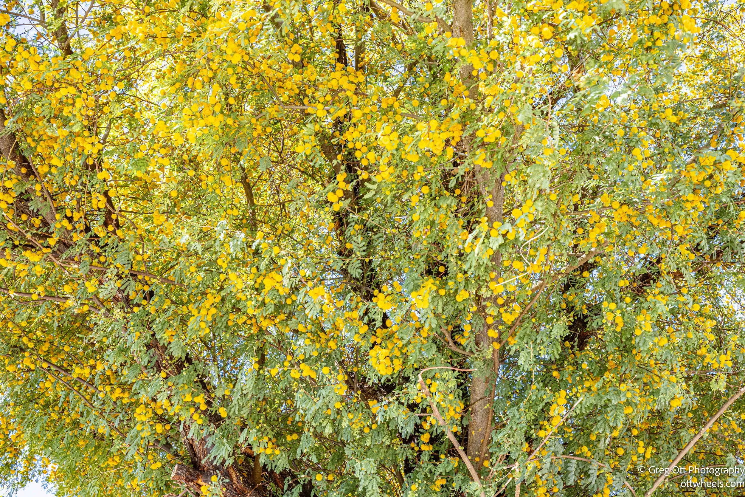
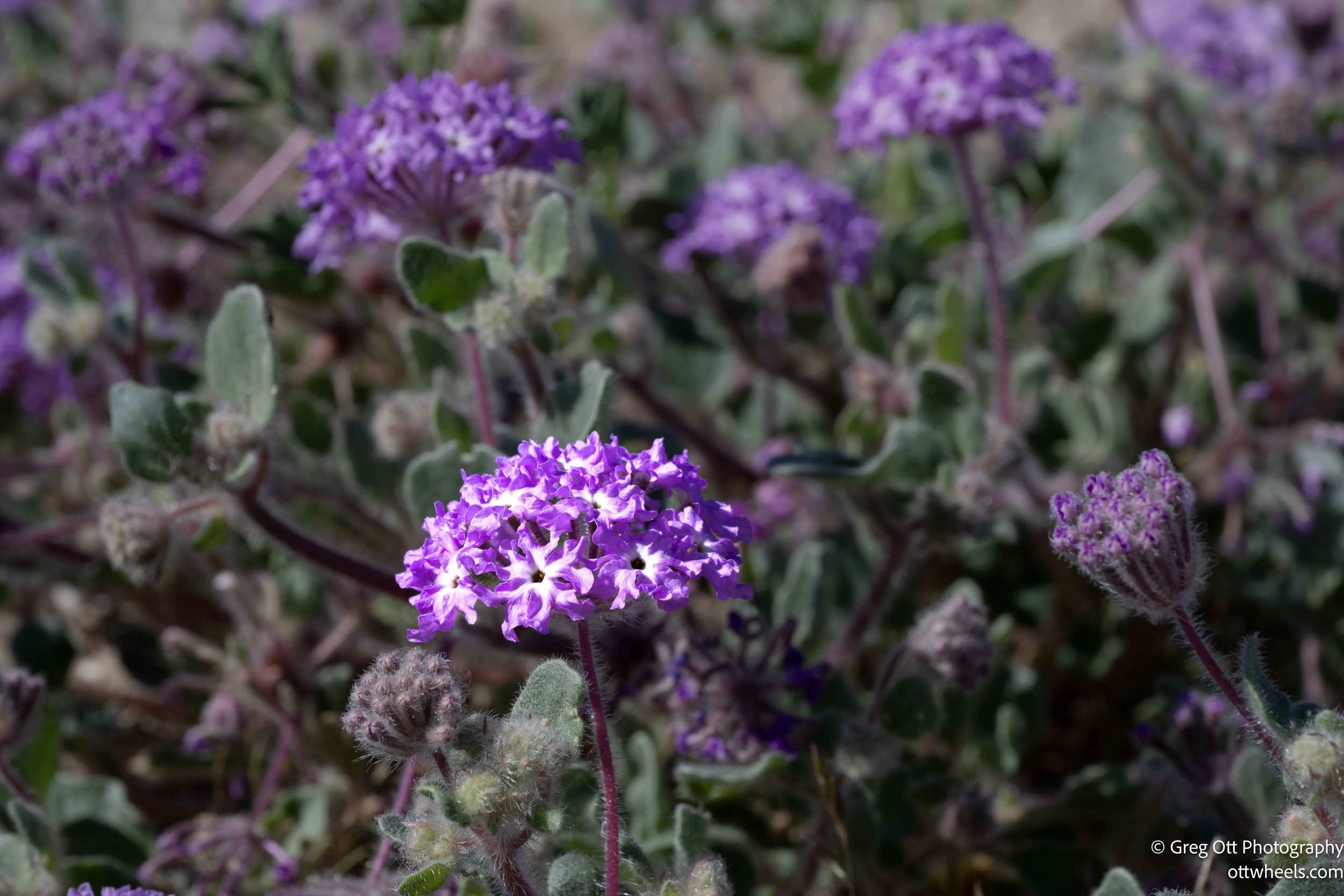
The wind picked up as I left the dam. The air turned fragrant. Small wildflowers were pushing through the gravel. A few trees were in bloom. Across Lake Mohave the mountains were bright and sharp. Above me, the sky was laced with white jet trails from planes heading to and from Las Vegas. Even in the quiet desert, you’re never that far from the grid.
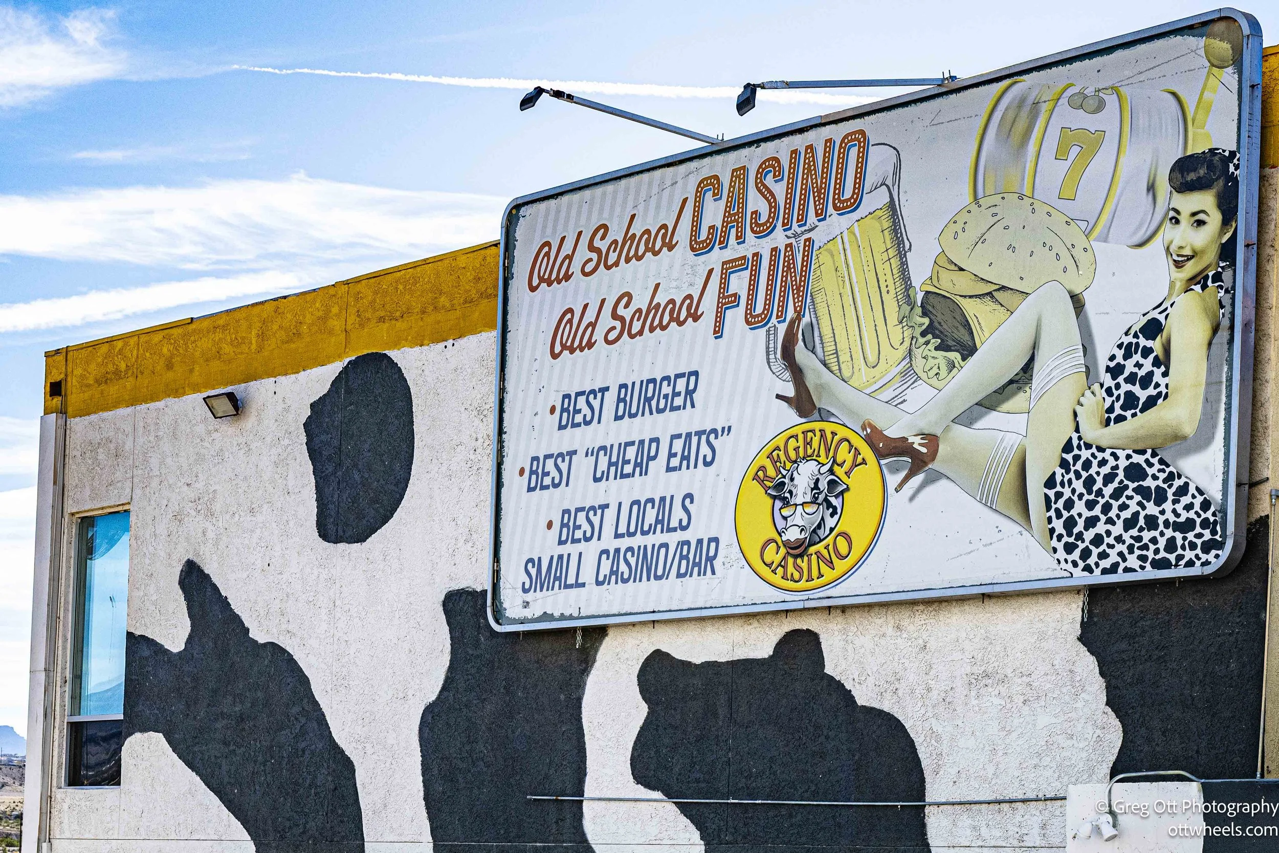
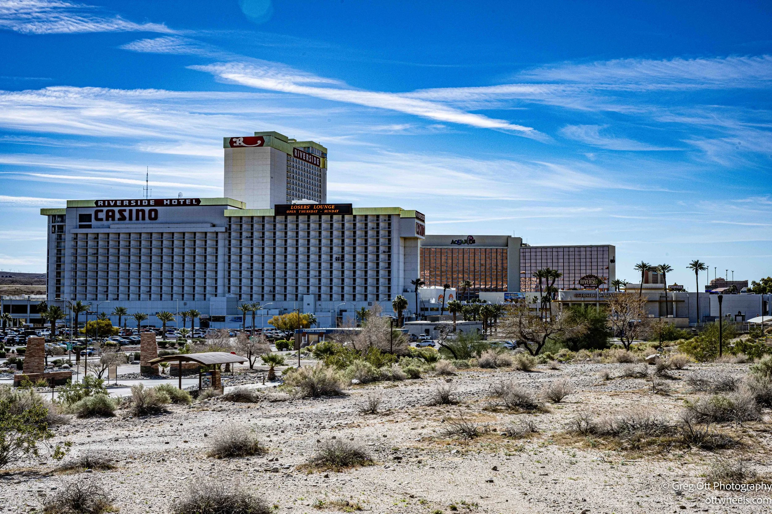
Laughlin, Nevada
The only reason I was in Laughlin was because I’d already been to most of the other places nearby at some point. I wasn’t especially excited about it. My research mentioned the Riverwalk, but I didn’t realize there was an entire network of paved bike trails weaving through town and even crossing into Arizona. Had I known, I would have planned a ten- to fifteen-mile ride.
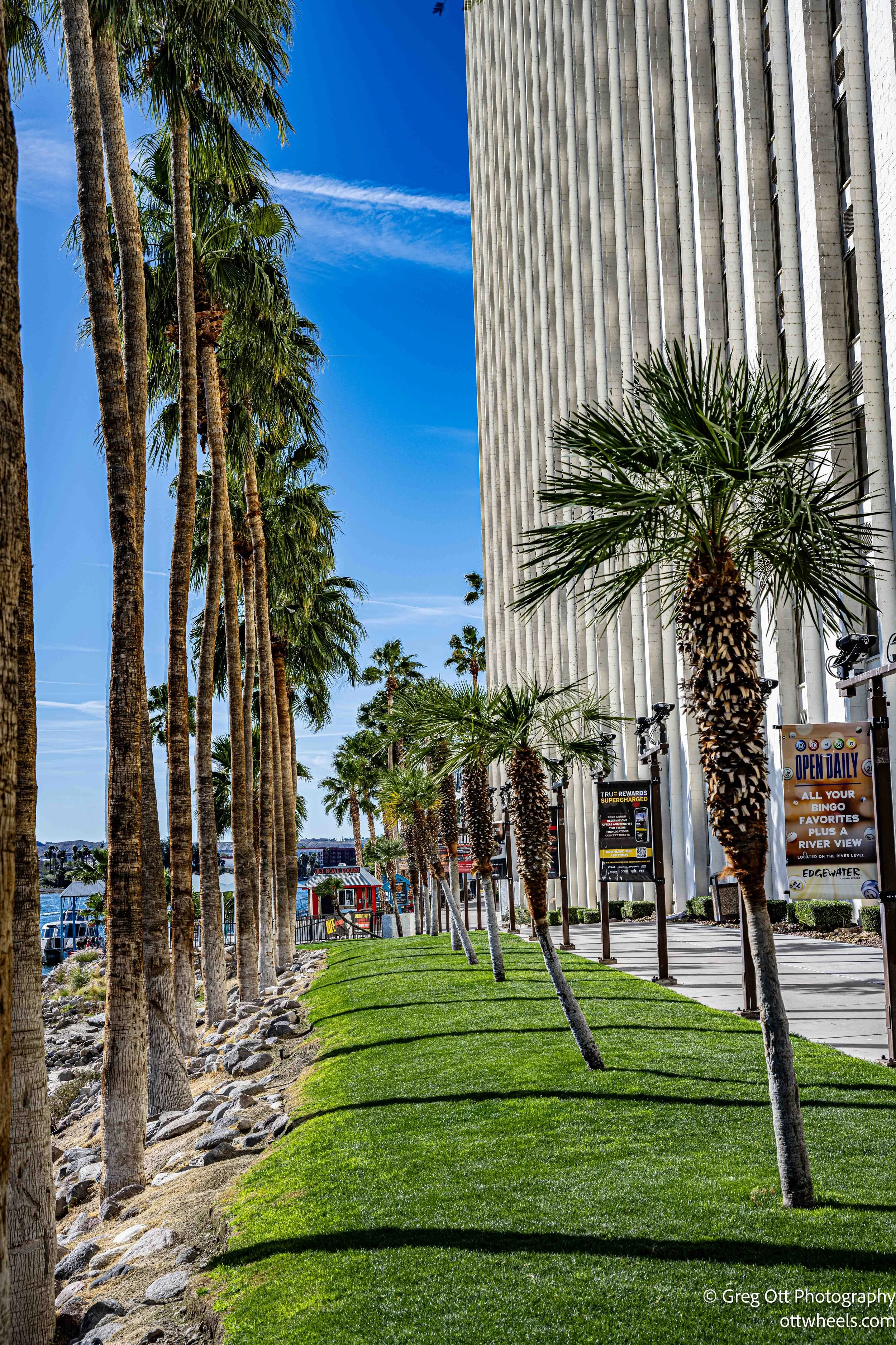
I tried to park near a Starbucks first, but it was tucked inside Harrah's Laughlin and the parking situation wasn’t ideal for a tall van. I ended up at Aquarius Casino Resort instead. From there, I walked down to the river, assuming that was where the Riverwalk ran. It did—until it didn’t. I followed it until I hit a barrier at one of the casino properties. No clear continuation. It felt like the city and the casinos had each built their own sections without fully connecting the dots.
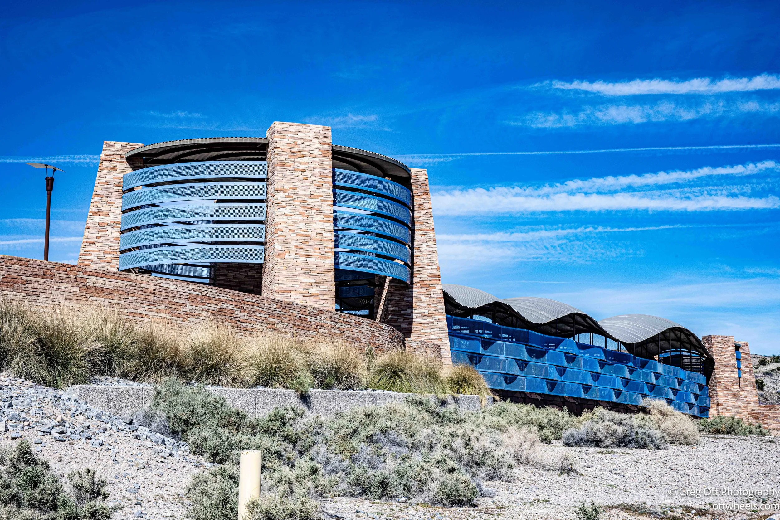
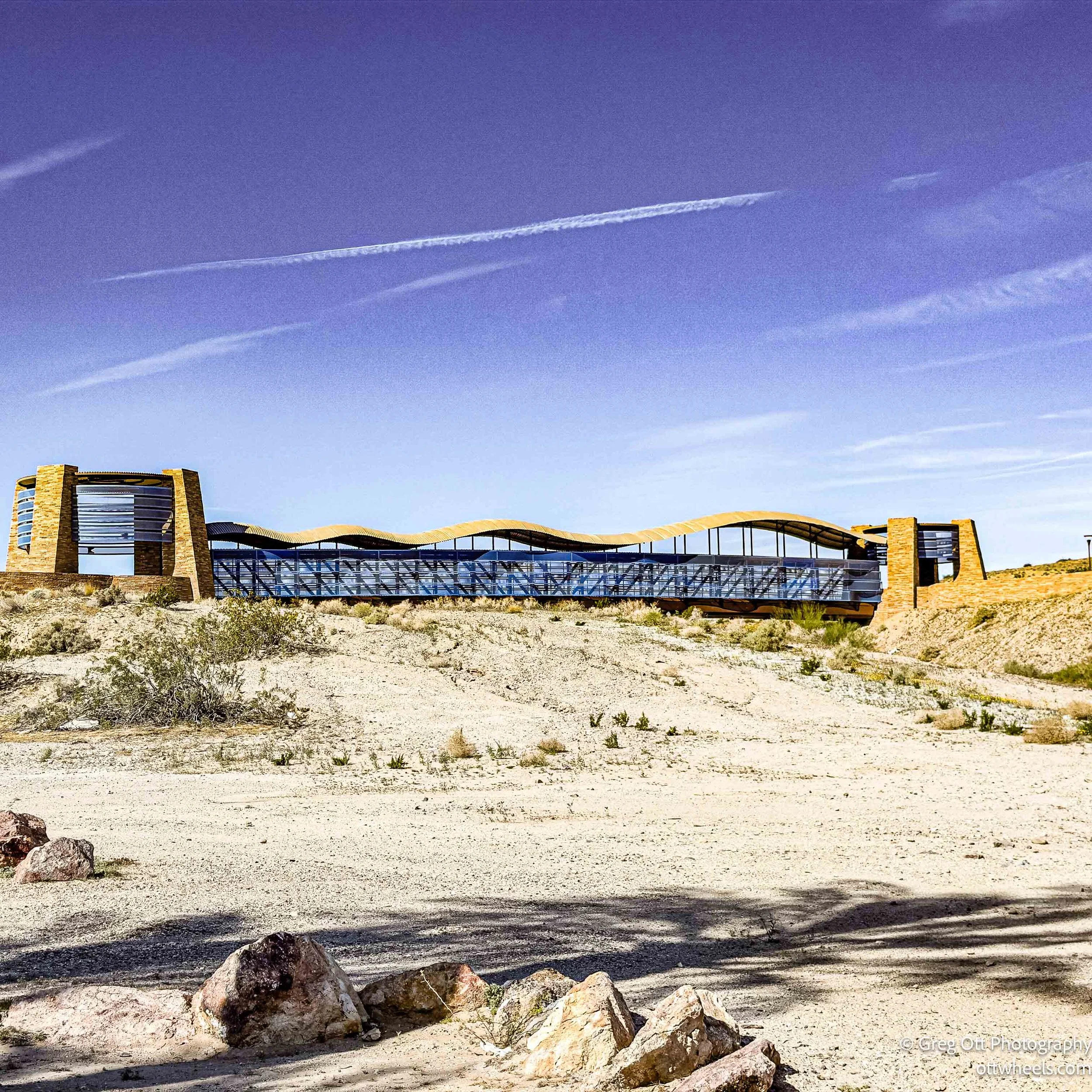
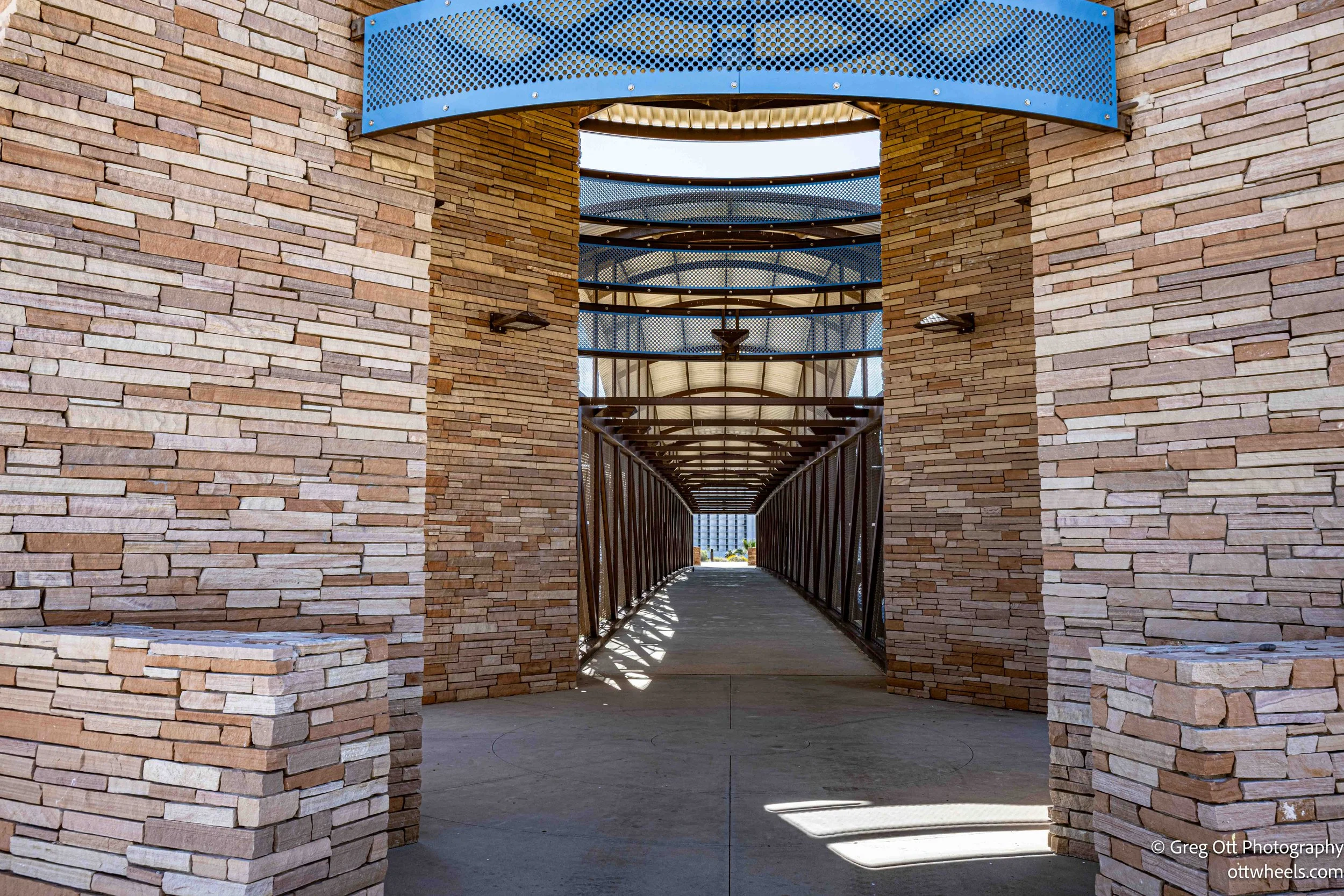
In the other direction, though, I found a surprisingly lush park along the river. Across the street was a clean, modern overpass arching over the road, which I walked just to see the view. Signs were posted everywhere: no camping, no fires, pets on leash. As I stood there, about ten homeless people came up the bike path. Two dogs were off leash. A man walked past carrying firewood. The contrast between posted rules and lived reality was hard to ignore.
In the other direction, though, I found a surprisingly lush park along the river. Across the street was a clean, modern overpass arching over the road, which I walked just to see the view. Signs were posted everywhere: no camping, no fires, pets on leash. As I stood there, about ten homeless people came up the bike path. Two dogs were off leash. A man walked past carrying firewood. The contrast between posted rules and lived reality was hard to ignore.
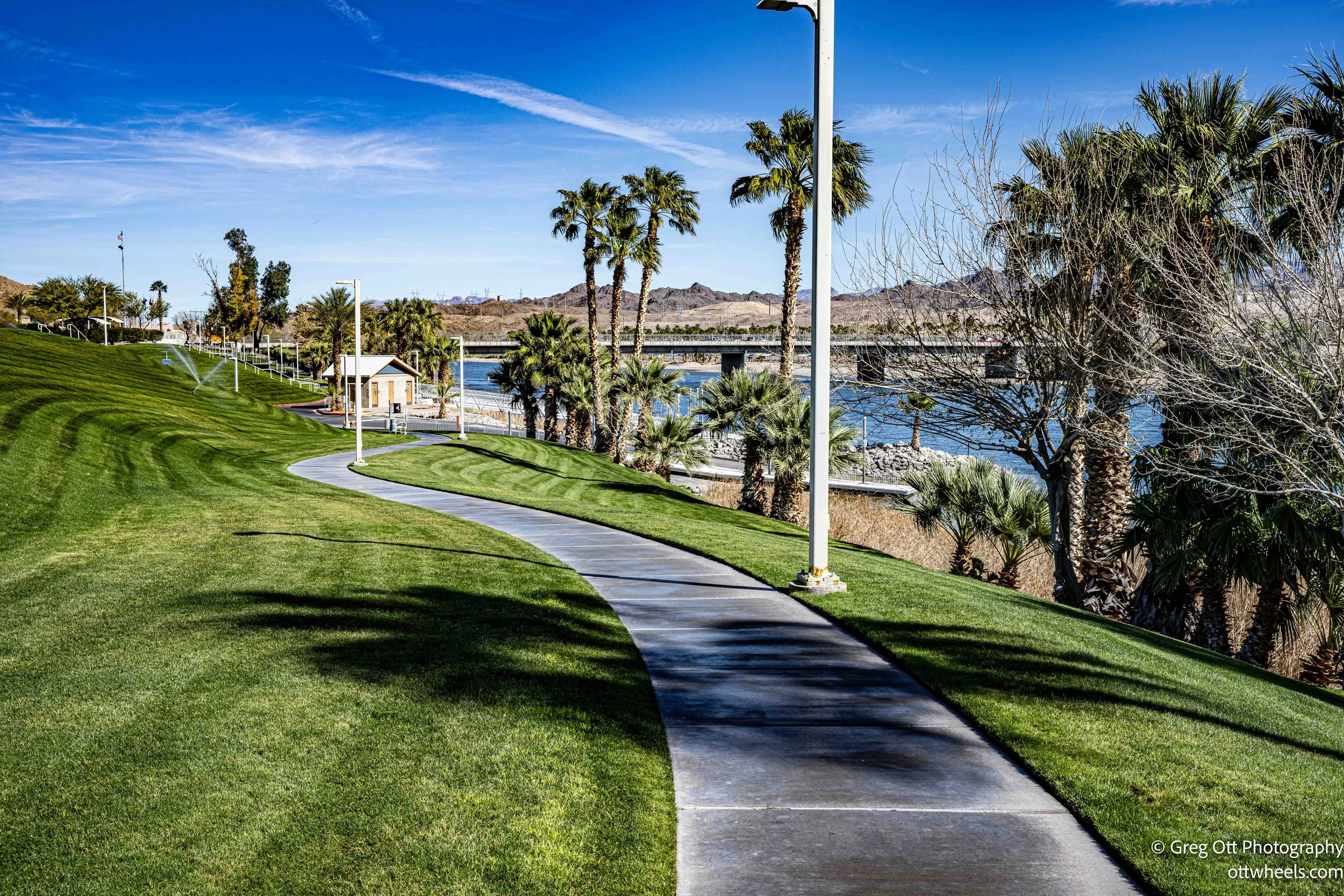
Near the restrooms, I found a large bike route map. That’s when I realized what I’d missed—miles of paved trails looping through town, along the river, and across into Arizona. By then I had already walked several miles and it was pushing noon. Otherwise, I would have grabbed the bike and made an afternoon of it.
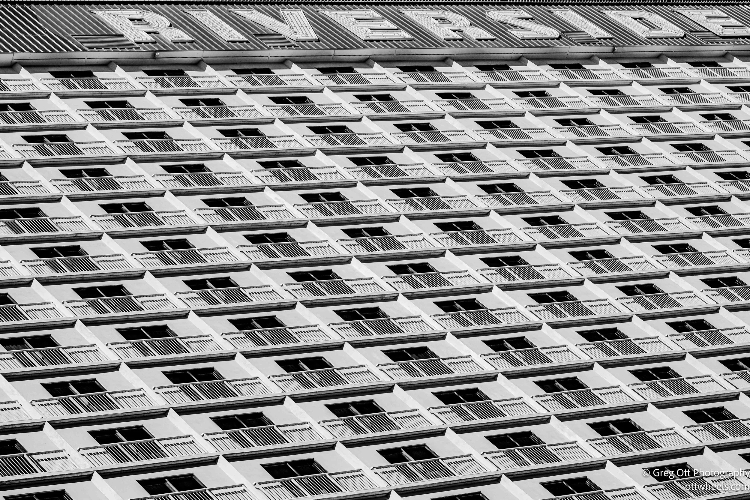
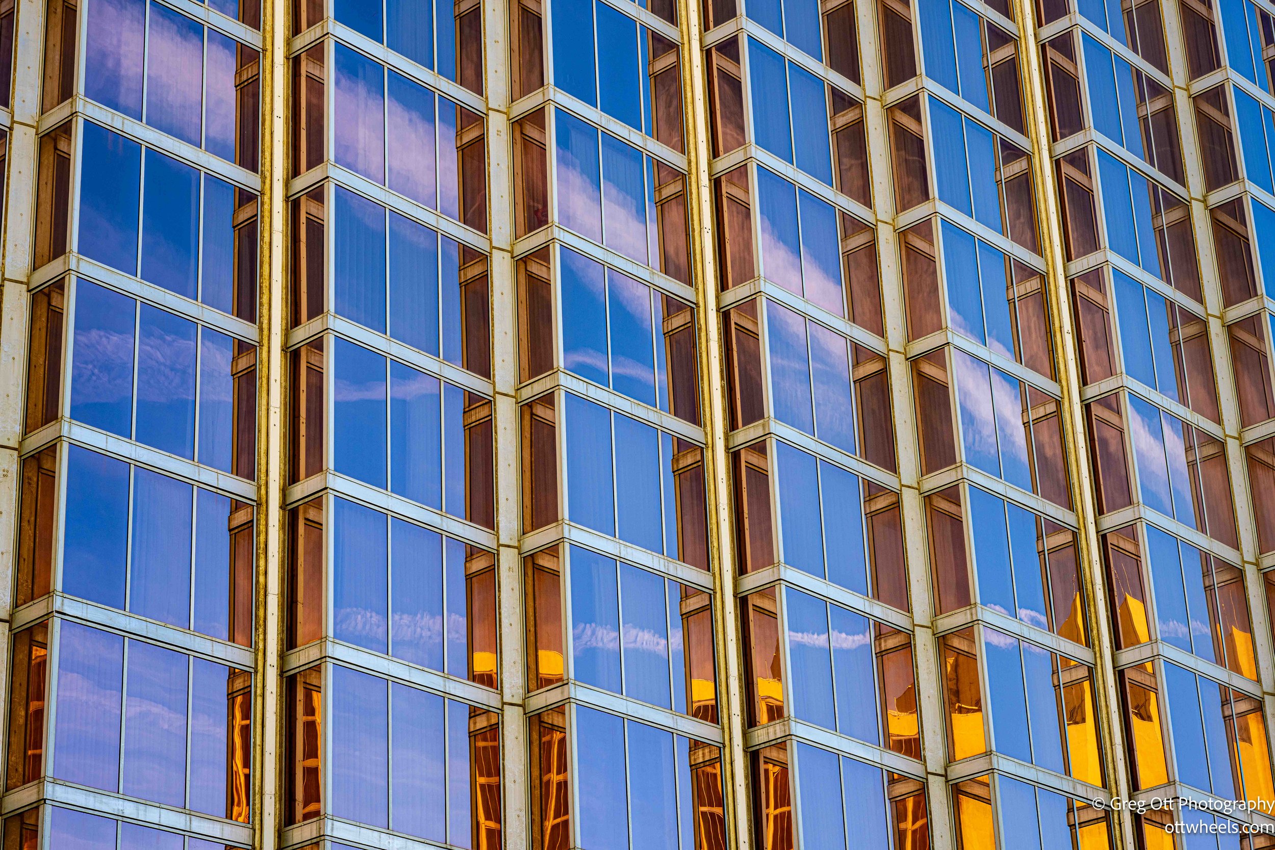
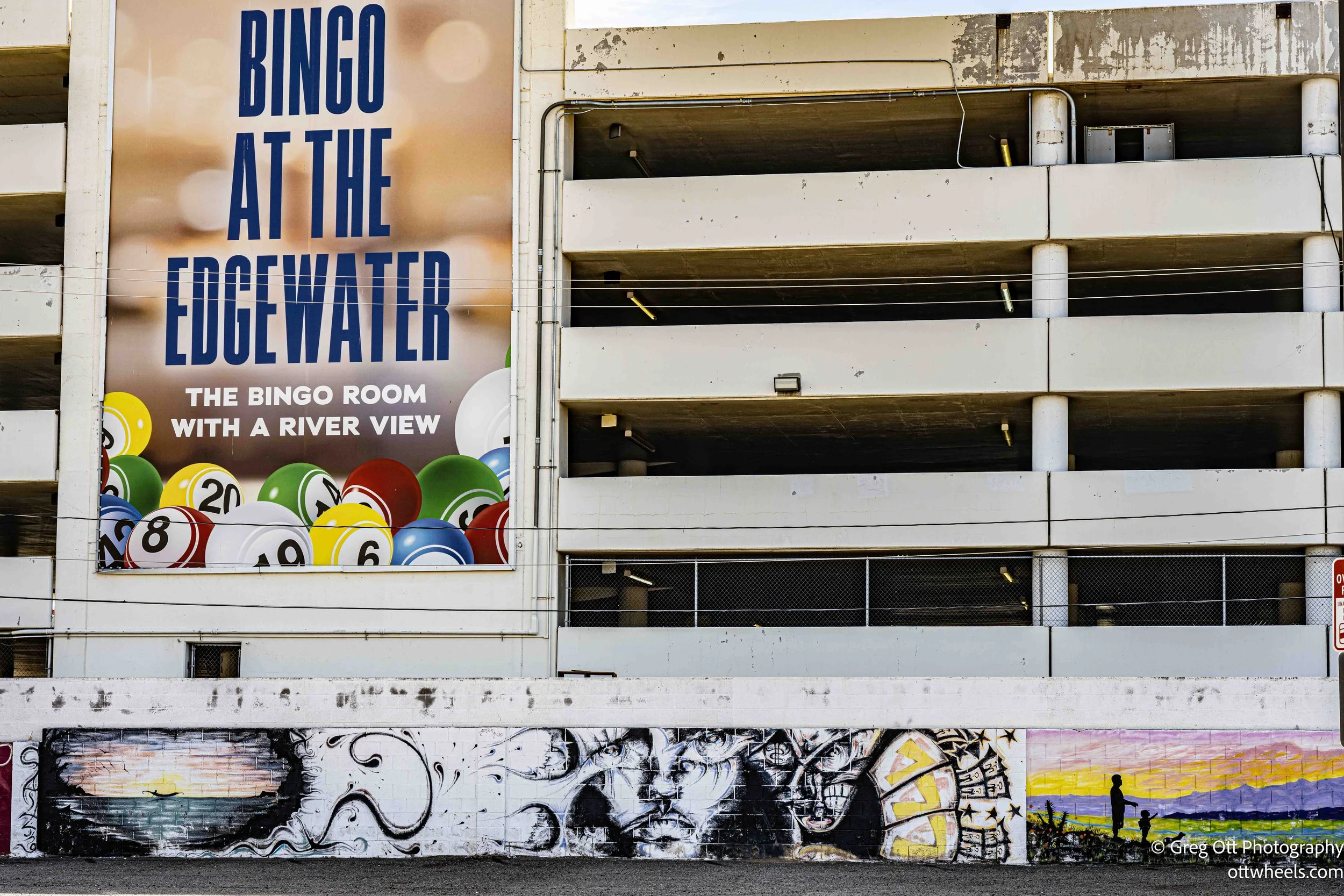
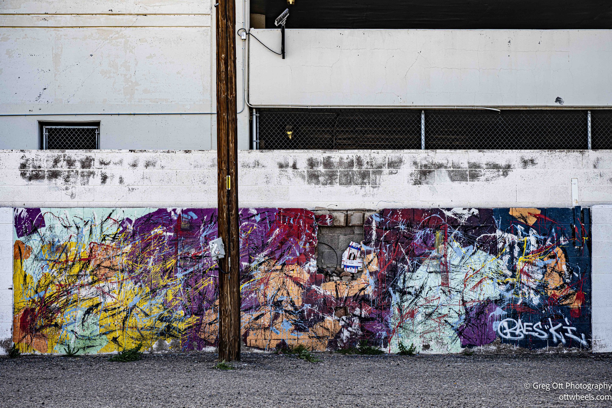
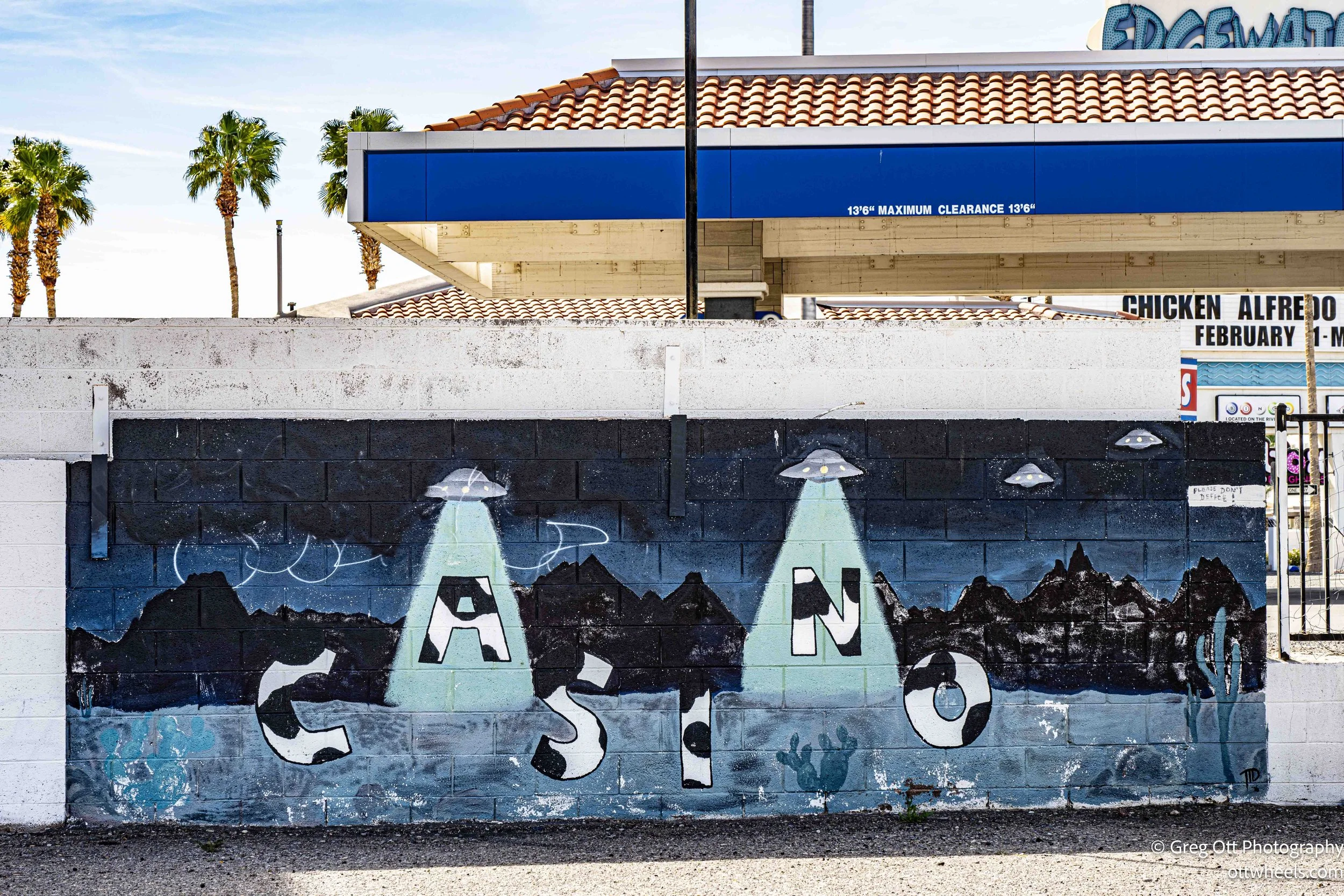
I ducked into one of the casinos thinking I might grab lunch. It was 1 p.m. There was a 40-minute wait and people were literally standing in line. I stepped back outside, returned to the Riverwalk, and took a few photos—reflections in glass towers, bits of street graffiti, sharp angles against the river. By 2 p.m., I was done. I pointed the van toward Valley of Fire State Park.
I tried to avoid Las Vegas, but Google routed me straight up I-15 through the city. My energy was dropping fast. I thought I’d stop at Starbucks, but that detour turned into a maze of side streets and a long drive-thru line. That’s when I realized the issue wasn’t caffeine. It was food. I hadn’t eaten since early morning and my blood sugar had quietly fallen off a cliff. I pulled into Roberto's Taco Shop and ordered two chicken tacos. They were simple and perfect. Within minutes, I felt human again.
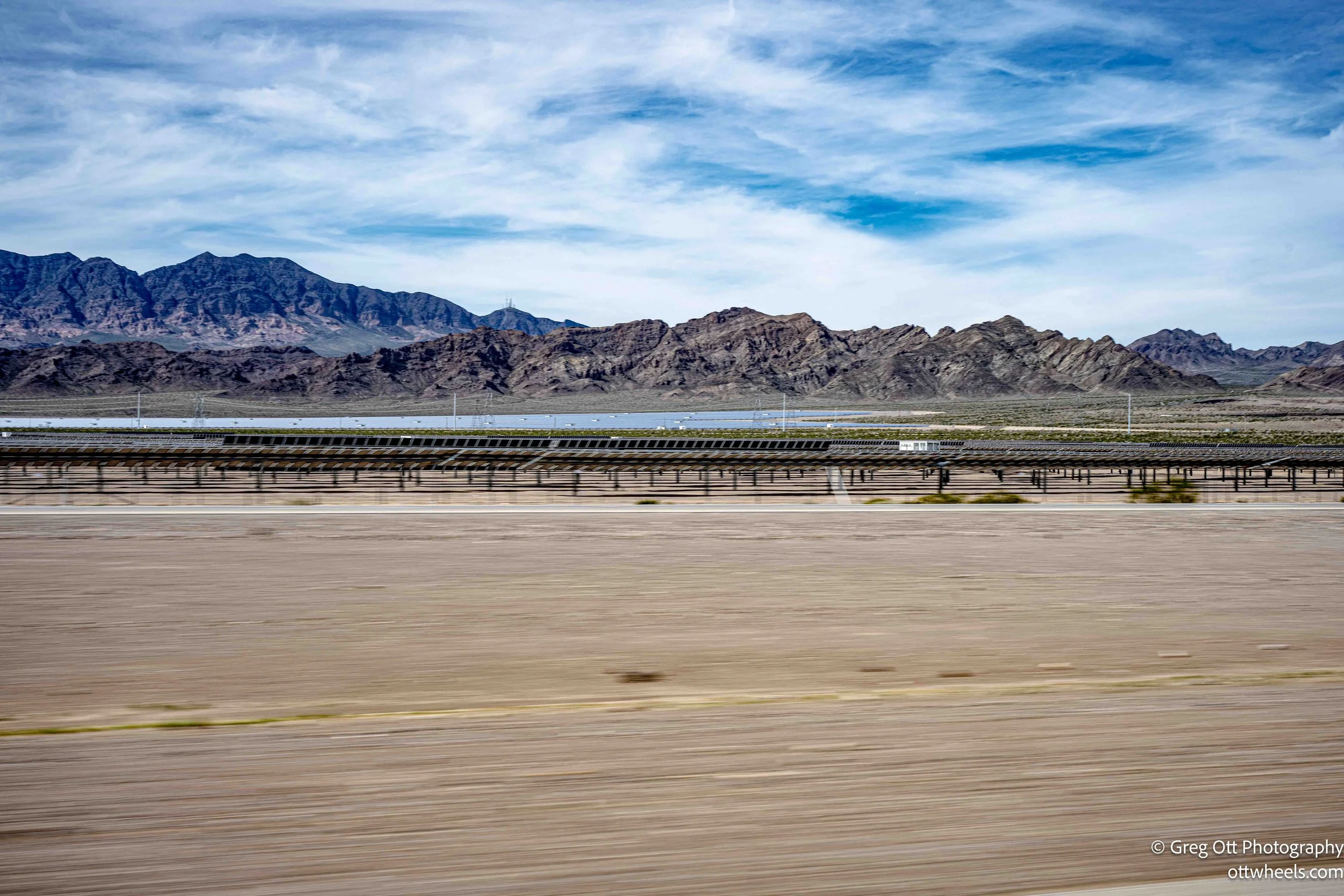
North of Las Vegas, I was struck by the scale of solar development along the highway. For long stretches—ten, maybe 20 miles at a time—massive solar arrays lined both sides of the road. After parking later that evening, I did a little research. Nevada is one of the leading solar-producing states in the country. Projects like the Copper Mountain Solar Facility and the Moapa Southern Paiute Solar Project each generate hundreds of megawatts of electricity. Statewide, Nevada has several gigawatts of installed solar capacity—enough to power hundreds of thousands of homes. Much of it feeds into the Southwest grid, supplying Las Vegas and even parts of California. It was hard not to think about the contrast: water spinning turbines at Davis Dam in the morning, sunlight hitting photovoltaic panels in the afternoon. Two very different ways of capturing what the desert gives.
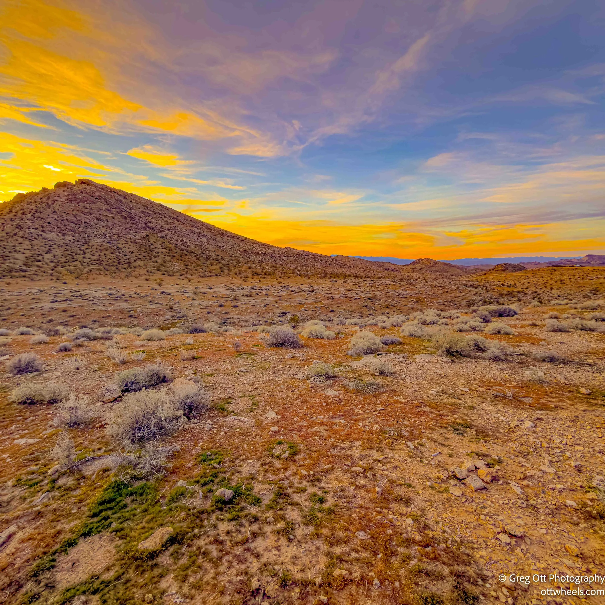
I reached Valley of Fire around 4:30. There was an entrance fee and I only had about 90 minutes of daylight left. I grabbed a trail map and decided I’d return in the morning. The campground was full, but I had passed BLM land about four miles back. I turned around, drove down the dirt road about half a mile, and found a quiet pullout with a wide western view.
I opened the side door and the back doors and let the breeze move through the van. It was about 70 degrees—perfect. I curled up for a short nap as the light softened.
After sunset, I left the side door open a while longer. The air was still warm. I took my time making dinner. It would be another early night. I wanted the energy for the hike in the morning.