Dalton Highway to Fairbanks, AK
I didn’t sleep well that night. Everything was fine until around 3 a.m., when an alarm went off just outside my door. I went out to investigate, mostly concerned that there might be a fire, but I didn’t see or smell any smoke. After about five minutes, the alarm cleared itself, only to start again a few minutes later. Someone came out of a room down the hall and disappeared around the corner. There were instructions on the display explaining how to acknowledge and clear the alarm. I decided not to touch anything.
I was finally back in a deep sleep when, around 4:30, a bright orange strip of light appeared on the wall beside my bed. The sun was coming through a narrow gap between the blinds and the wall. I got up and took a few photos of the sunrise over Prudhoe Bay. They were more documentation than stunning photography.
I had agreed to meet Will, our driver for the trip back to Fairbanks, at 7 a.m. for breakfast. He appeared in the cafeteria and announced, “It looks like we have two more.”
One was a cyclist who had set out to ride from Deadhorse to Fairbanks but made it only about 70 miles before developing mechanical problems. The other was a biologist doing whale research in the Arctic, studying the effects of oil development and climate change on a particular species. Somehow, we now had three computer science majors and a biologist in the van.
The biologist had a large truck she could have driven back to Fairbanks, but like me, she had decided not to make the drive herself. Her assistant waited until we were packed and then headed south in the truck.
Will and one of the Deadhorse Camp staff removed a rear seat so we could fit the cyclist’s bike inside. That left us with three rows. I grabbed the front seat, the biologist took the second row and the cyclist settled into the third. We pulled out sometime before 8 a.m., with two more passengers to pick up several hours down the road. I had read from multiple sources that the trip from Deadhorse to Fairbanks takes roughly 18 hours. We had a long day ahead of us.
Before leaving Deadhorse, I had finally learned where its strange name came from. There are several versions of the story, but the most accepted one involves a company called Dead Horse Haulers, which hauled gravel during construction of the original Prudhoe Bay airstrip. People began calling the airstrip “Deadhorse,” pilots picked up the name, and eventually it stuck to the surrounding area. Exactly how Dead Horse Haulers got its name is less certain, with several stories still circulating. I was told, the company would haul anything including a dead horse.
As we left camp, a mileage sign showed 405 miles. There weren’t many mileage signs along the way, so every few hours we seemed to be calculating in our heads how far we had traveled and, more importantly, how much farther we still had to go.
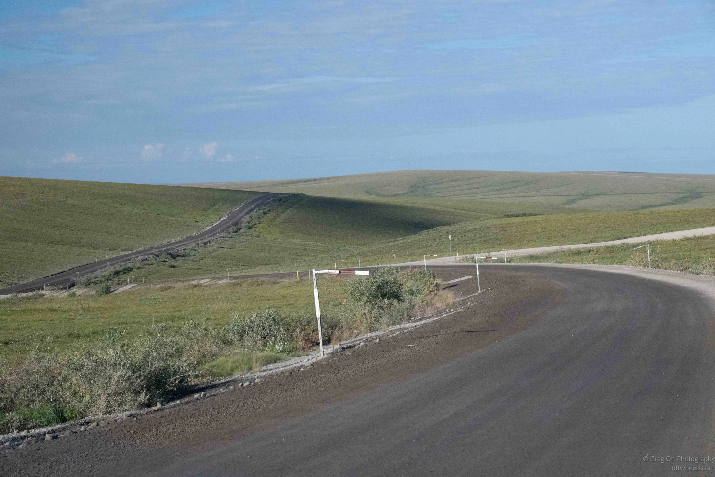
Along the road were tall metal marker poles with an upside-down “L” at the top and reflective material across them. They marked the edge of the highway when snow or poor visibility made the road itself difficult to see.
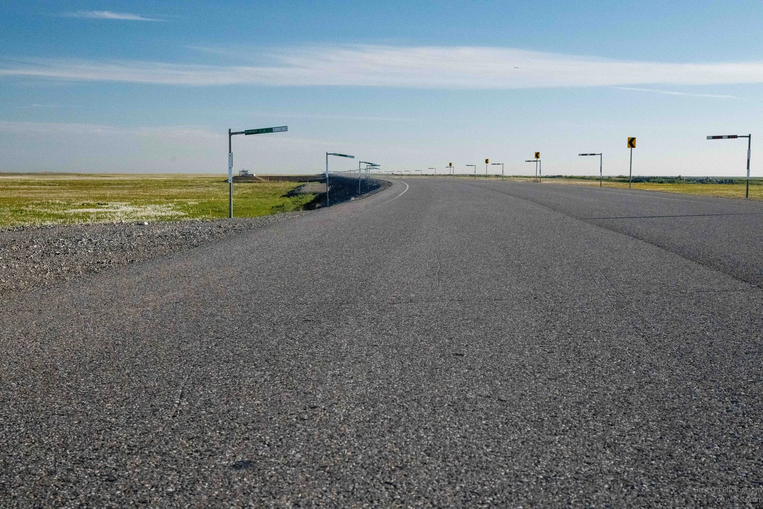
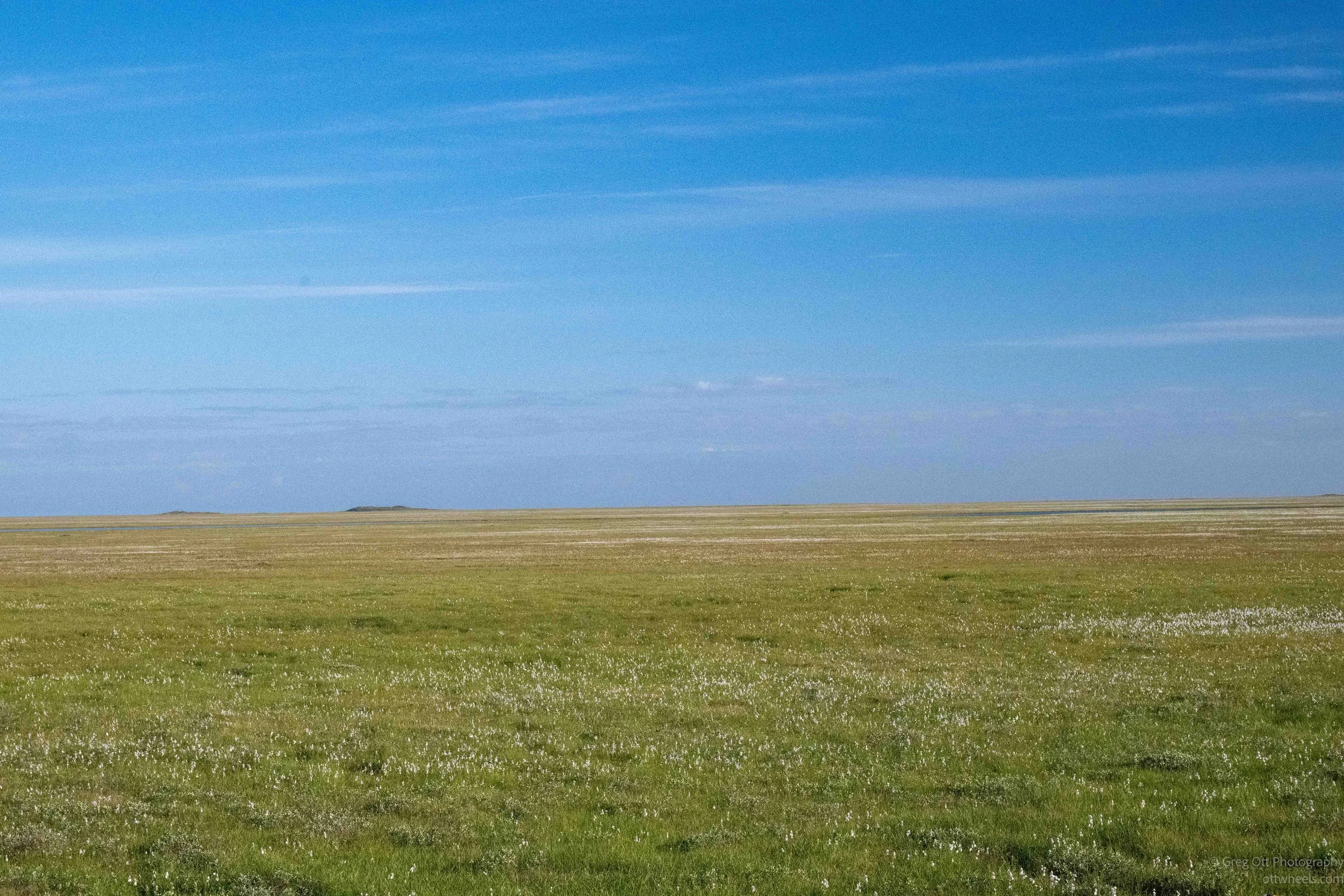
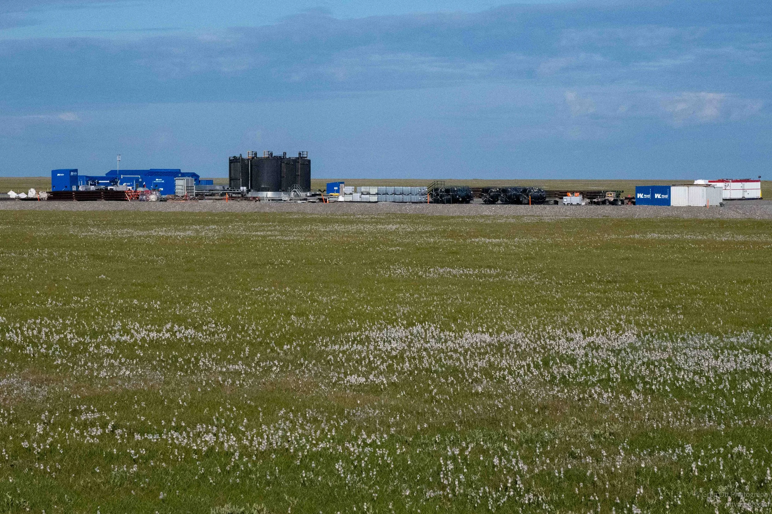
Building a road across permafrost creates its own set of problems. Much of the Dalton is built on a thick gravel embankment that helps insulate the frozen ground and distribute the weight of the road. Even so, thawing and shifting permafrost continue to cause settlement, dips and other problems, which is one reason the highway requires so much maintenance.
For a while after leaving Deadhorse, the road was paved. I think that’s just to make you feel like, This isn’t that bad. Why are there so many horror stories? And why didn’t I just drive here? That feeling doesn’t last very long.
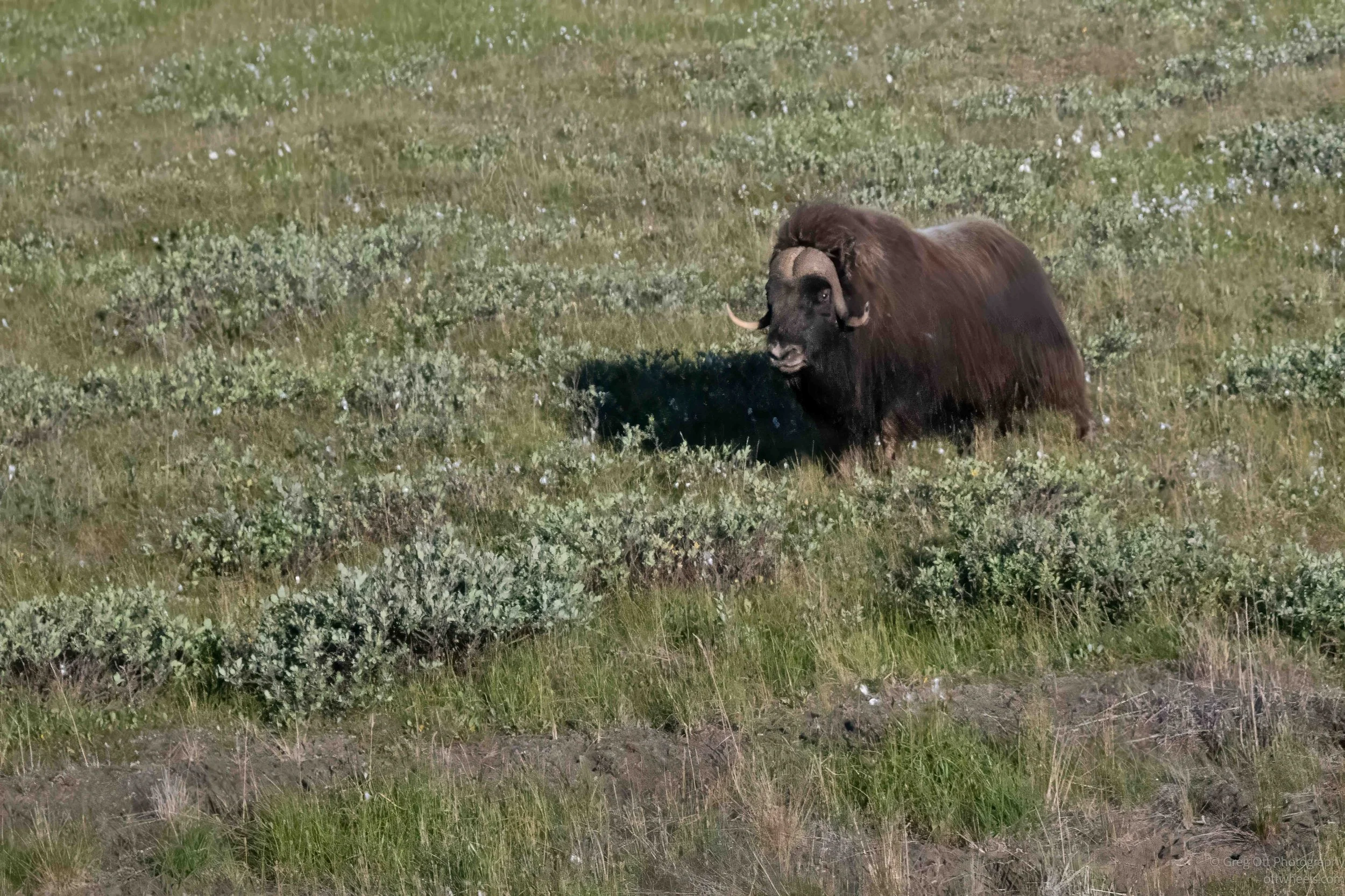
Not far down the road, a muskox was standing in the tundra grazing. Somehow, it looked bigger than I had pictured. We slowed down long enough for me to get a photograph.
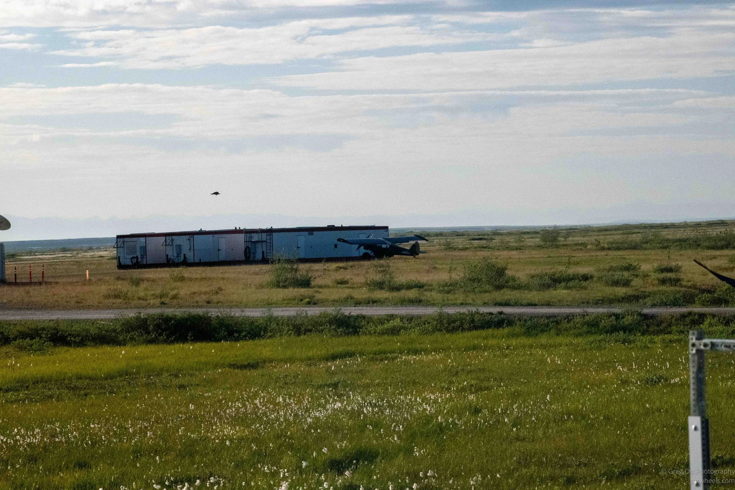
We were becoming quite a cast of characters. Everyone was intelligent, informed and adventurous, and the conversations wandered through AI, hydrophones, spies, living abroad, travel, life in the Arctic, hiking the Appalachian Trail, long-distance bike rides, Baja adventures, San Diego, cuts to scientific research and plenty more. With this group, there wasn’t much danger of running out of things to talk about during an 18-hour drive.
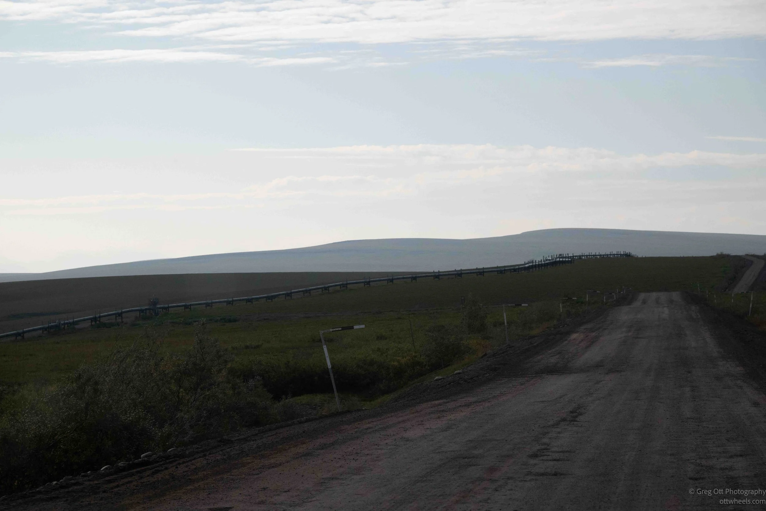
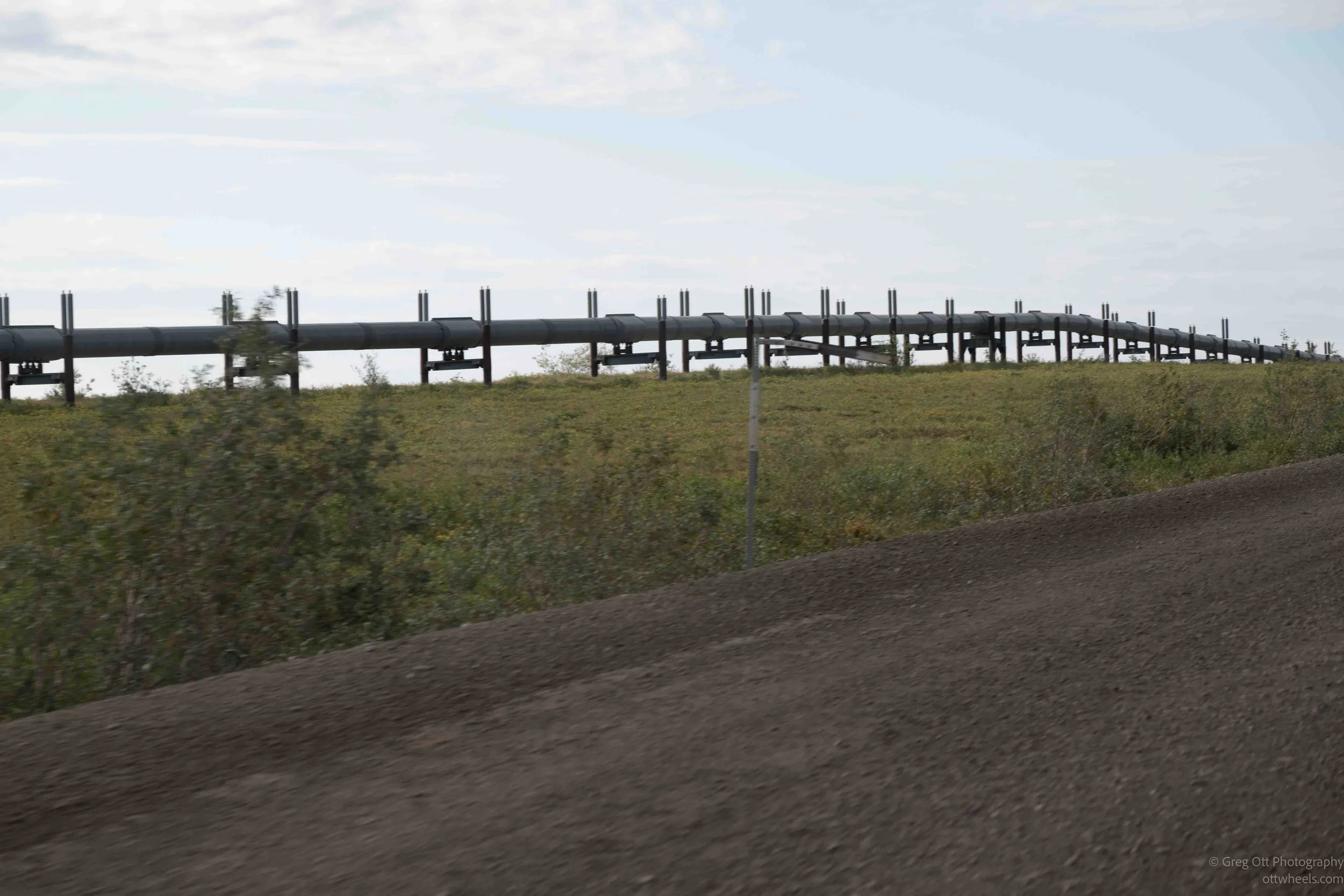
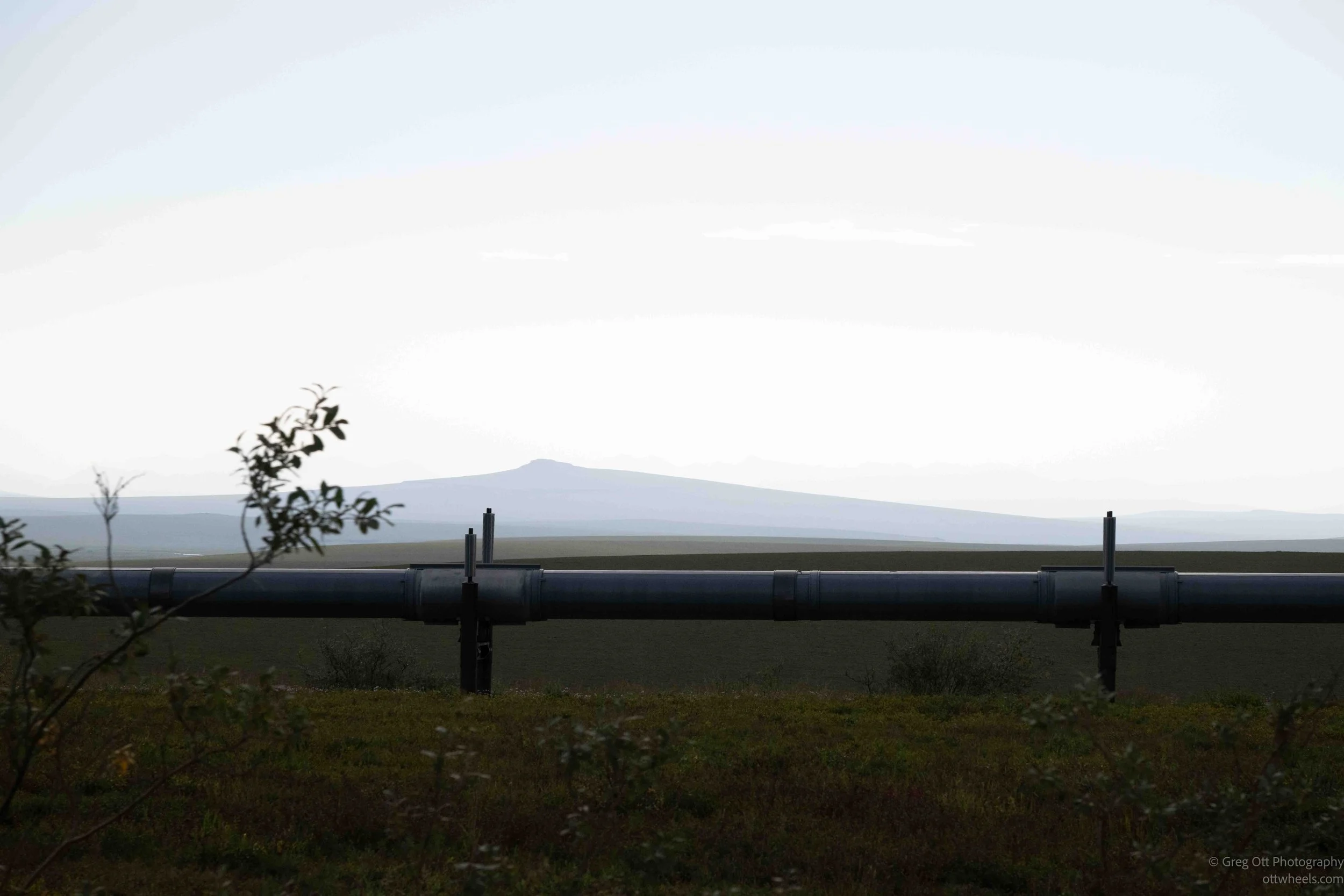
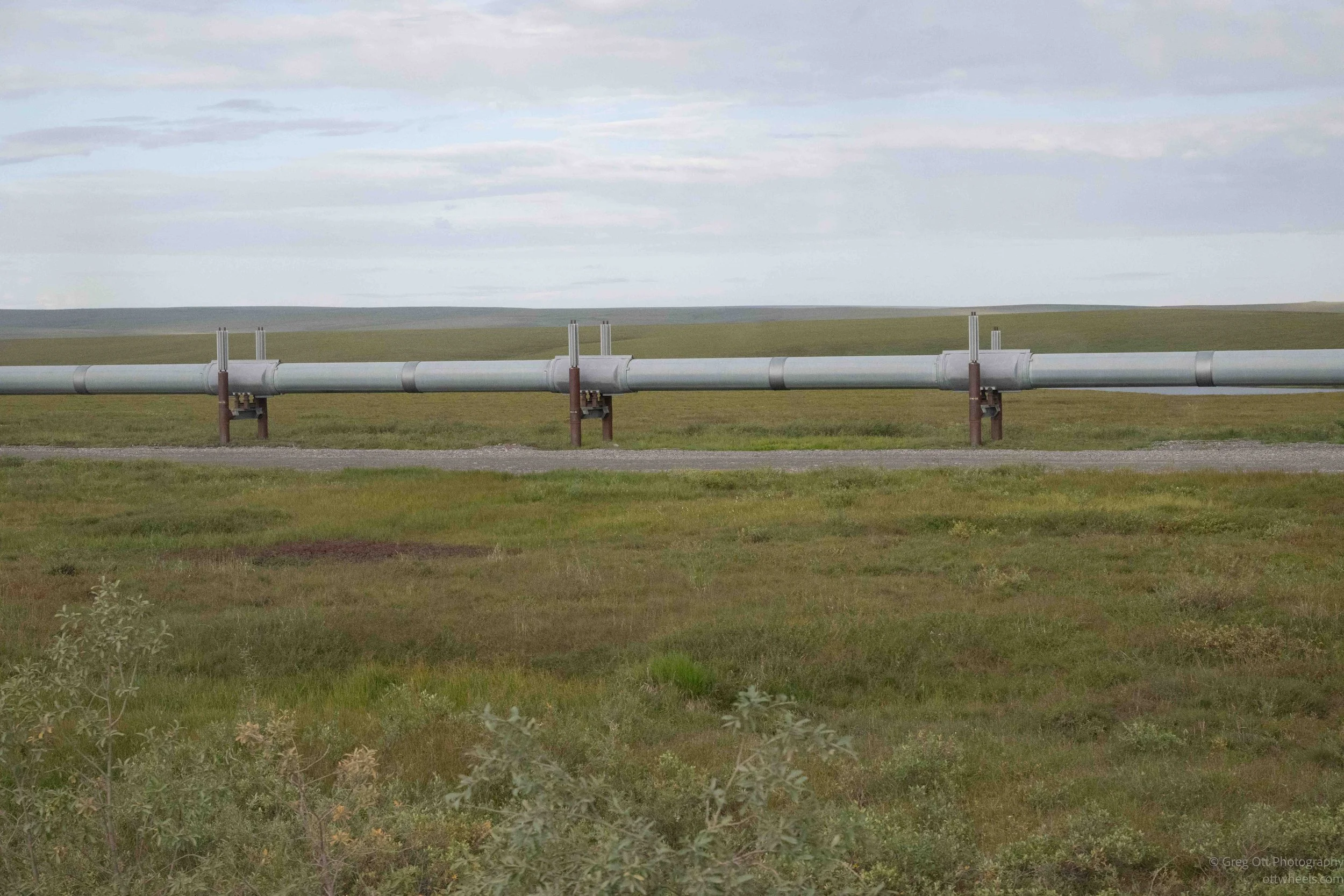
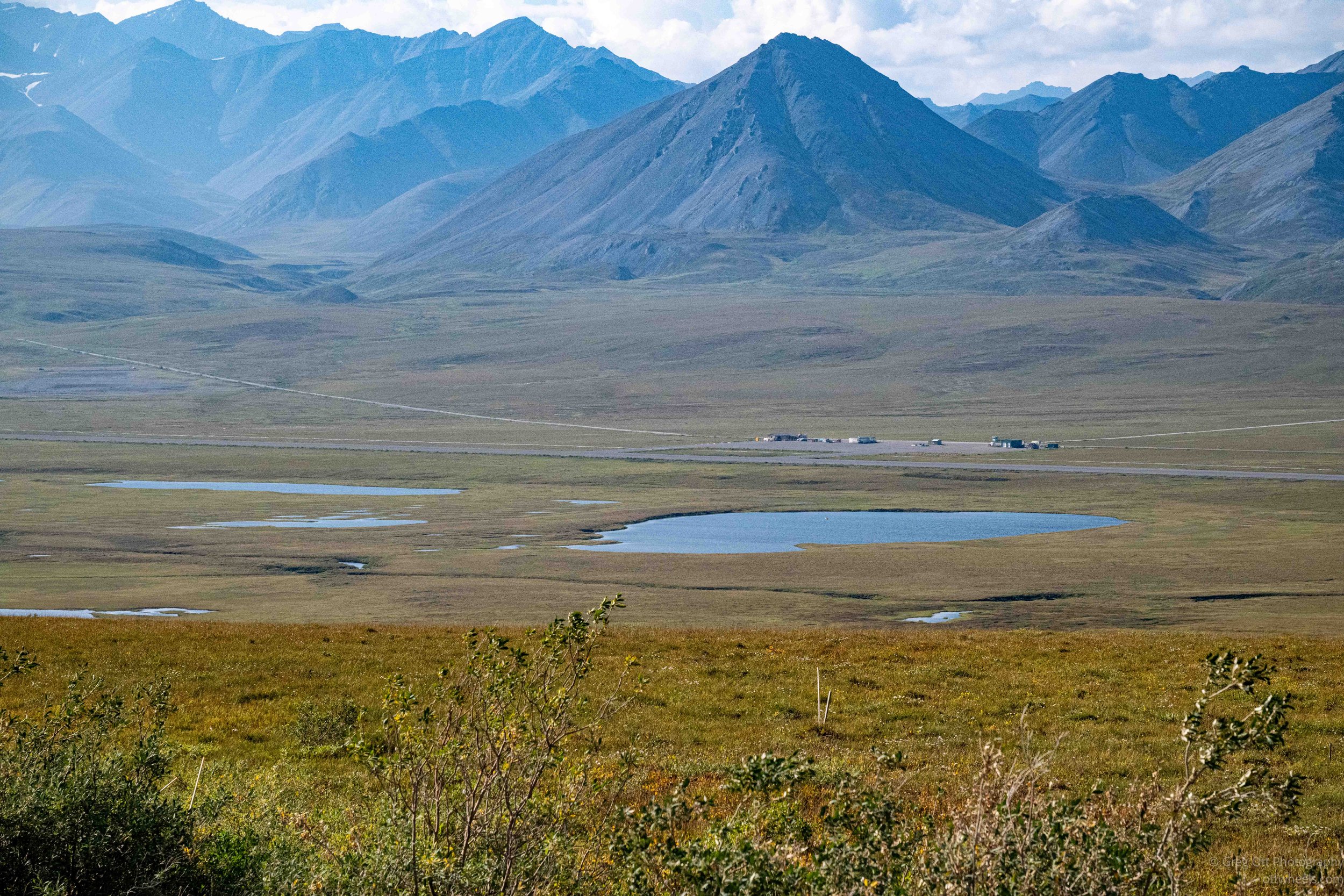
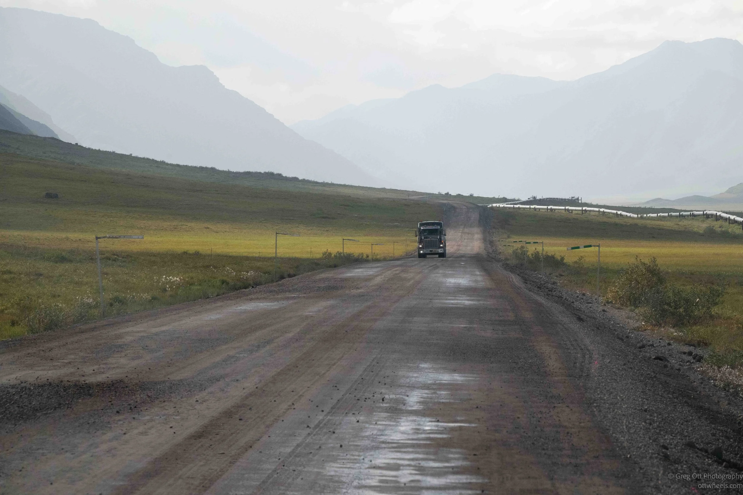
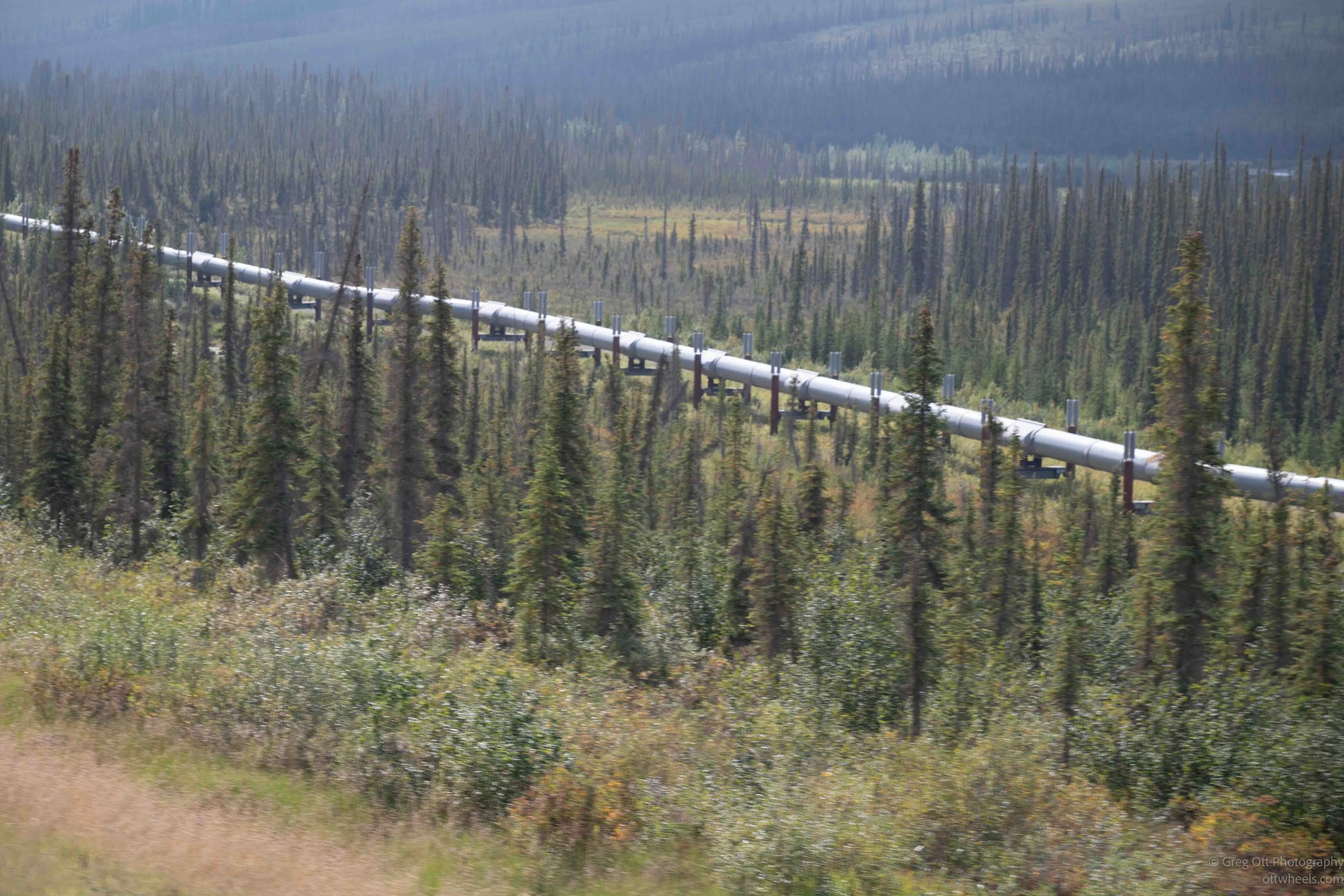
Will periodically leads tours along the Dalton Highway, so whenever we had a question about something we passed, he usually had an answer. There are almost no houses or communities along this stretch of Alaska. For mile after mile, there is little evidence that anyone lives here at all. One of the few constant signs of civilization is the Trans-Alaska Pipeline, which follows the highway for much of the journey.
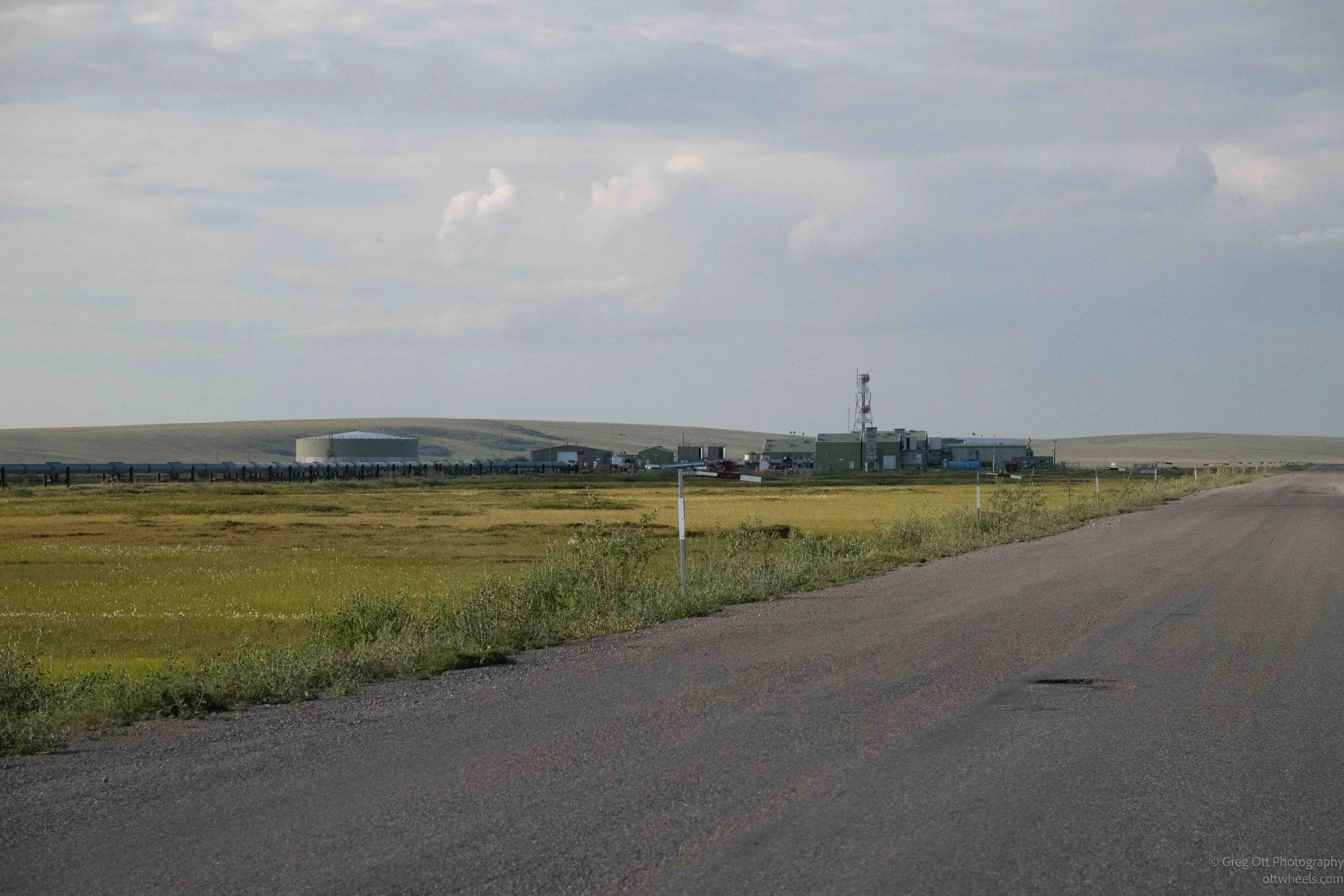
Every so often, we would pass an industrial complex connected to the pipeline. These were pump stations, built to keep the oil moving on its roughly 800-mile journey from Prudhoe Bay to Valdez. TAPS was originally designed for 12 pump stations, although only 11 were built. Today, with much less oil moving through the pipeline than during its peak years, only four are needed to actively pump the oil.
The stations are much more than pumps sitting beside the pipe. They contain valves, electrical and control systems, communications equipment and other infrastructure needed to operate and maintain the pipeline. In a landscape where you can travel for hours without seeing a town or a house, these isolated industrial compounds become surprisingly noticeable landmarks.
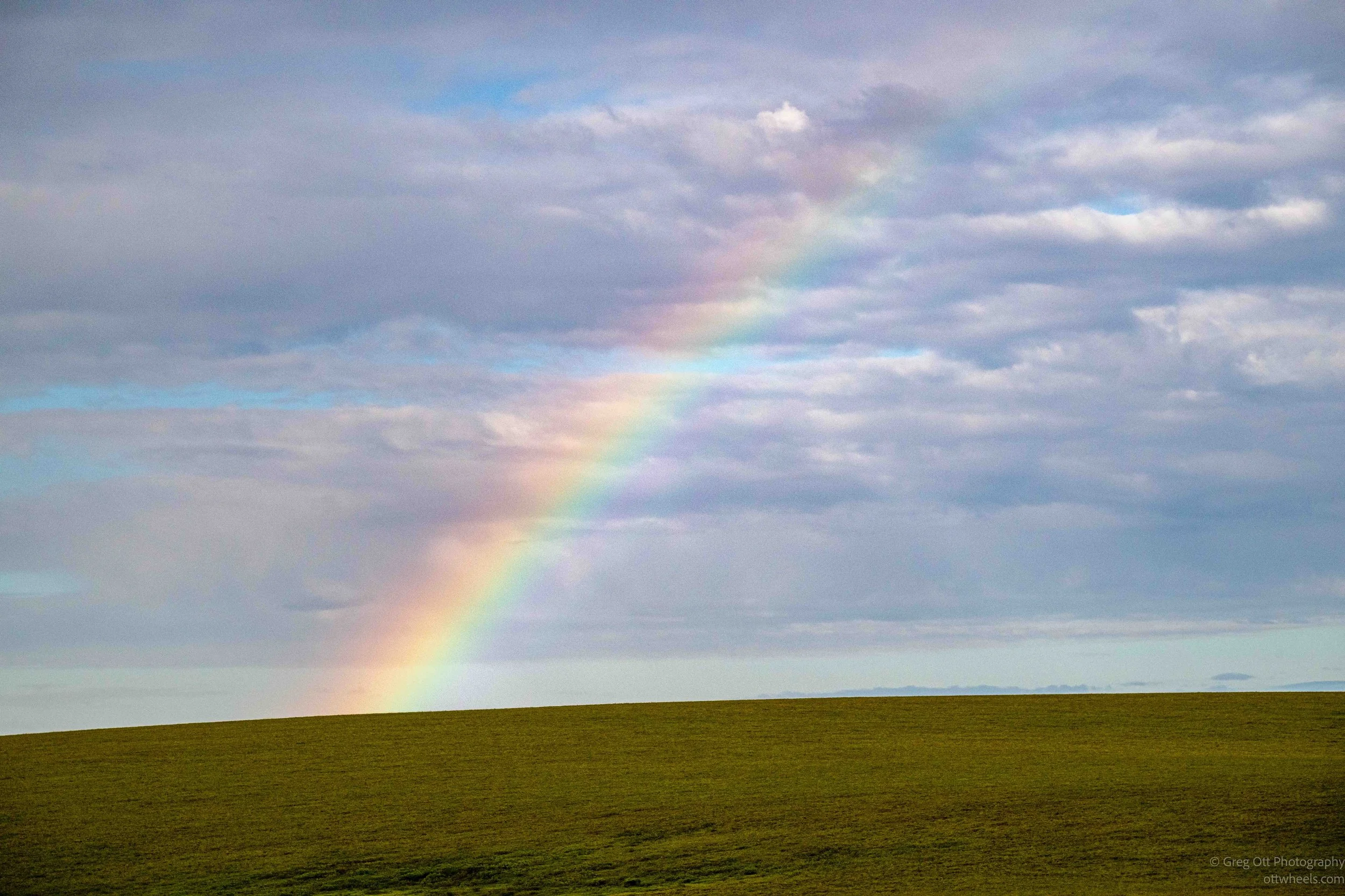
About two hours into the trip, a rainbow began forming to the west, with rain falling over the distant hills. I lowered the window to get a shot and was surprised by how warm the air felt.
By now we were traveling on dirt and gravel, with the pipeline almost always somewhere nearby. This far north, there were few trees. The road and pipeline often traveled together, but occasionally one would suddenly head off on a more direct route. The road has to accommodate trucks and manageable grades, while the pipeline has its own engineering constraints involving terrain, unstable ground and river crossings. They followed their own paths through the same landscape, but neither was ever far from the other—like twins traveling together but occasionally choosing different routes.
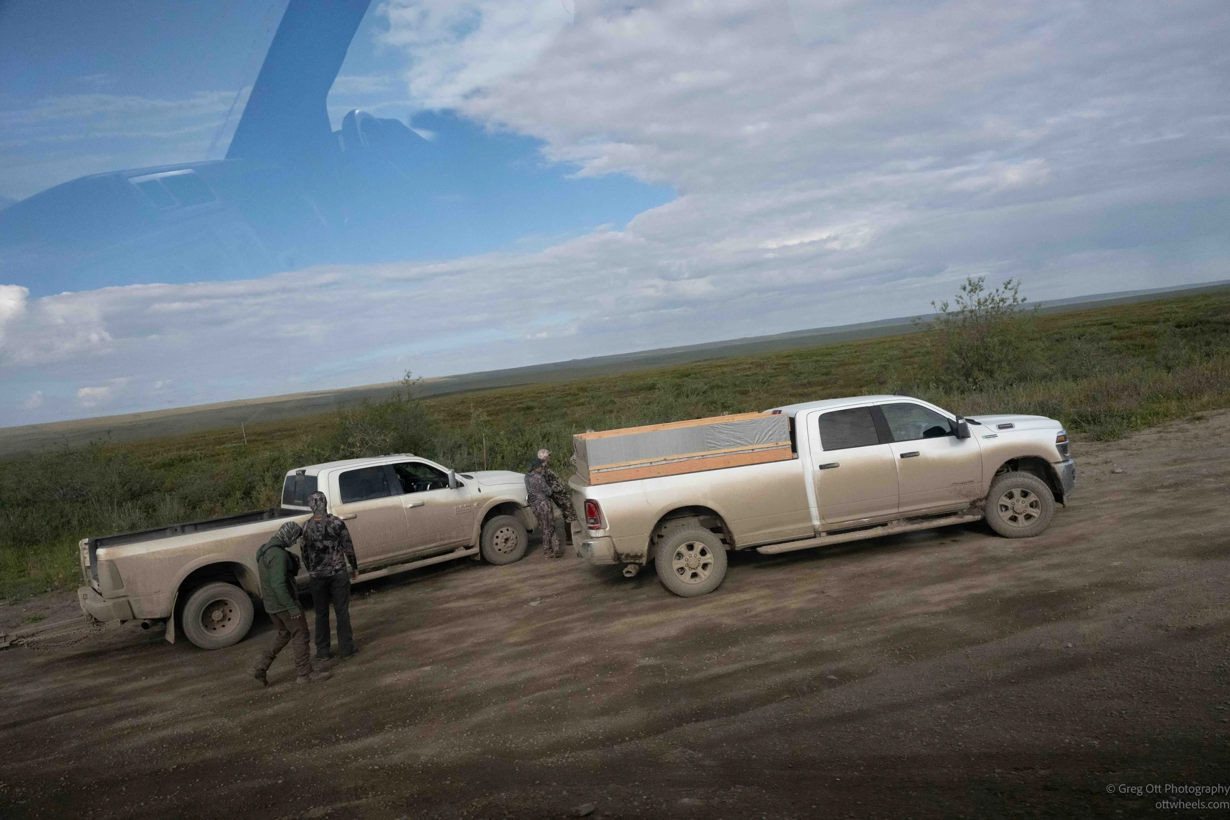
Scattered along the highway were groups of hunters. Sometimes we would see a lone fisherman with a truck far off in the distance, and I wondered how he had even gotten there. There didn’t seem to be a road leading toward the water. The hunting camps ranged from basic to surprisingly elaborate, with tents, cooking areas, places to clean a kill and, in a few cases, even their own portable toilets.
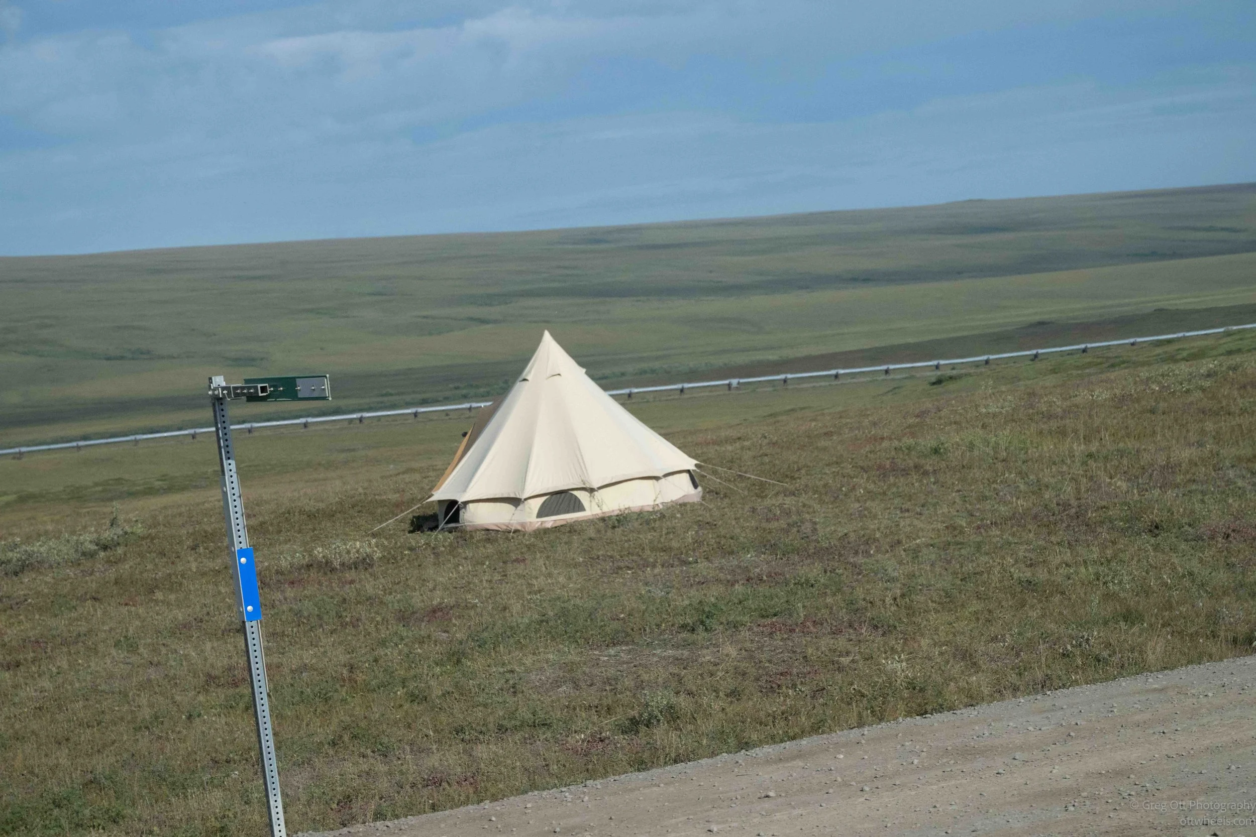
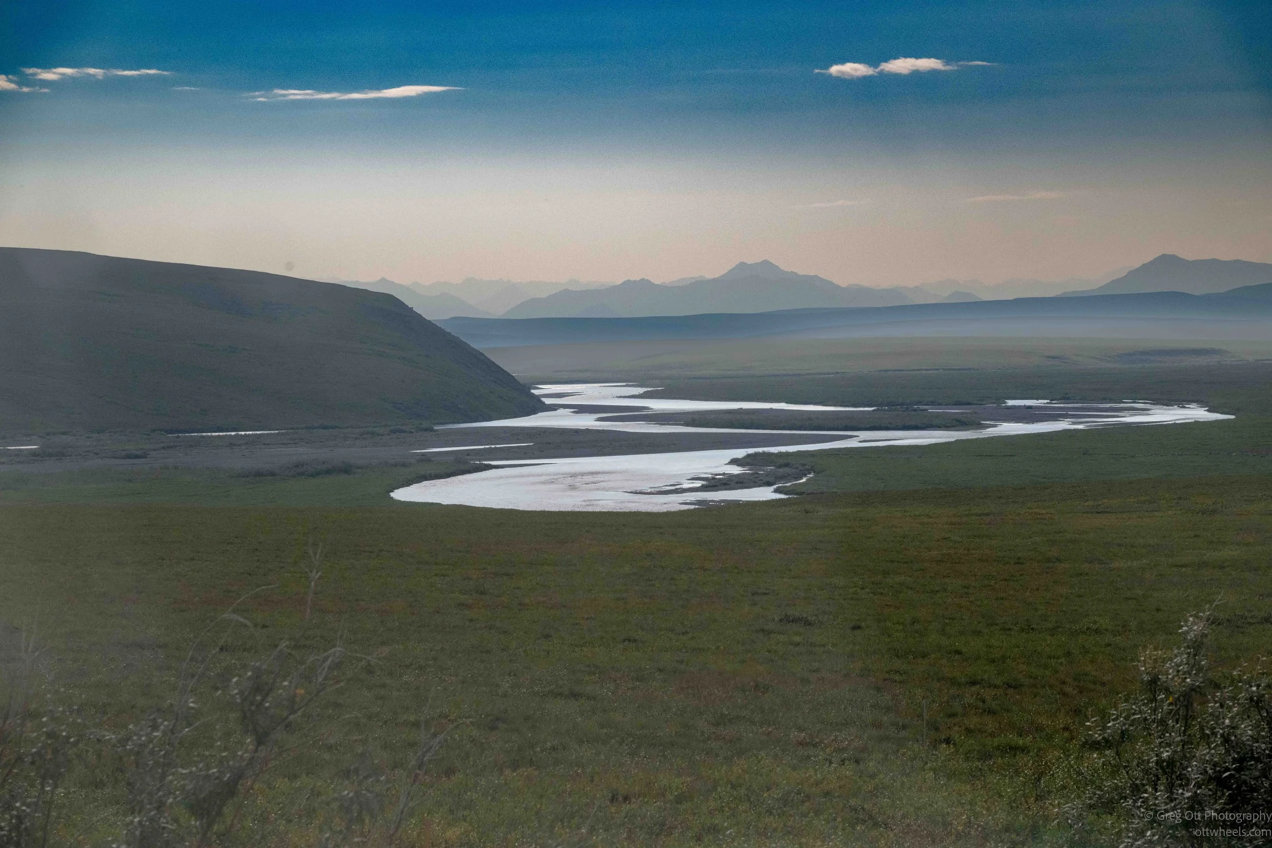
We stopped for several highway construction projects. At one, we waited about 20 minutes with a view across a broad valley and multiple layers of mountains. The pipeline wandered down into the valley in a way that didn’t seem like the most direct route. I kept looking at it and wondering why. There was undoubtedly something about the terrain or geology that dictated where it went. This was built in the 1970s, long before today’s computer modeling and optimization tools. They were solving enormous engineering problems in some very difficult terrain.
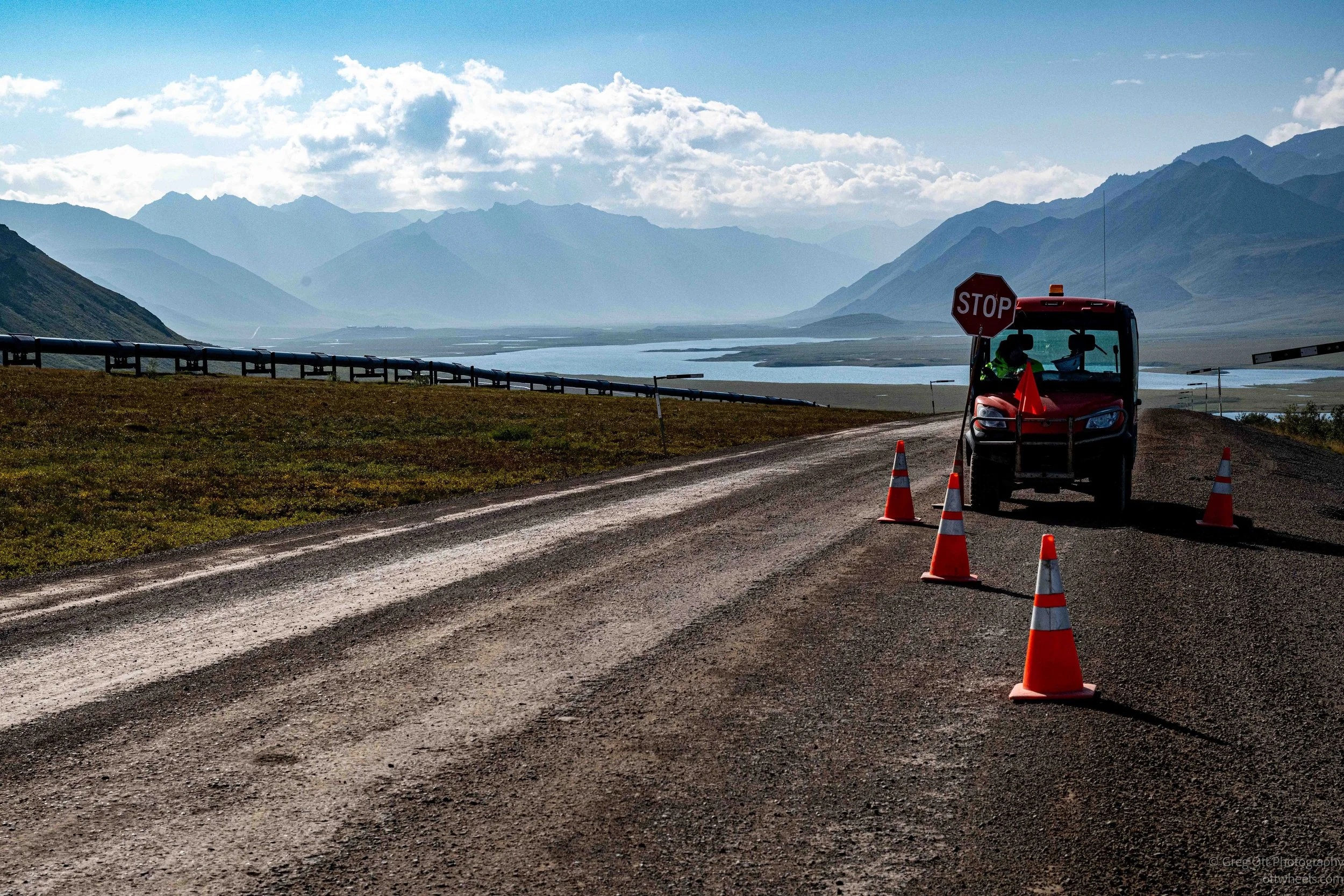
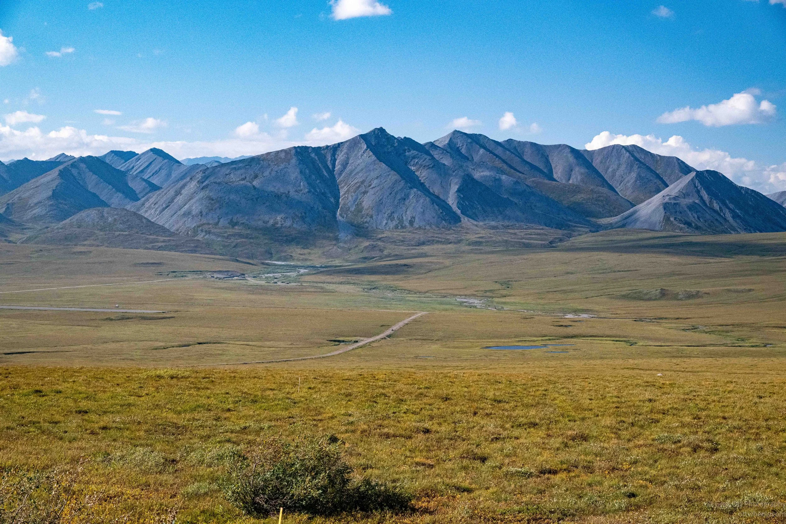
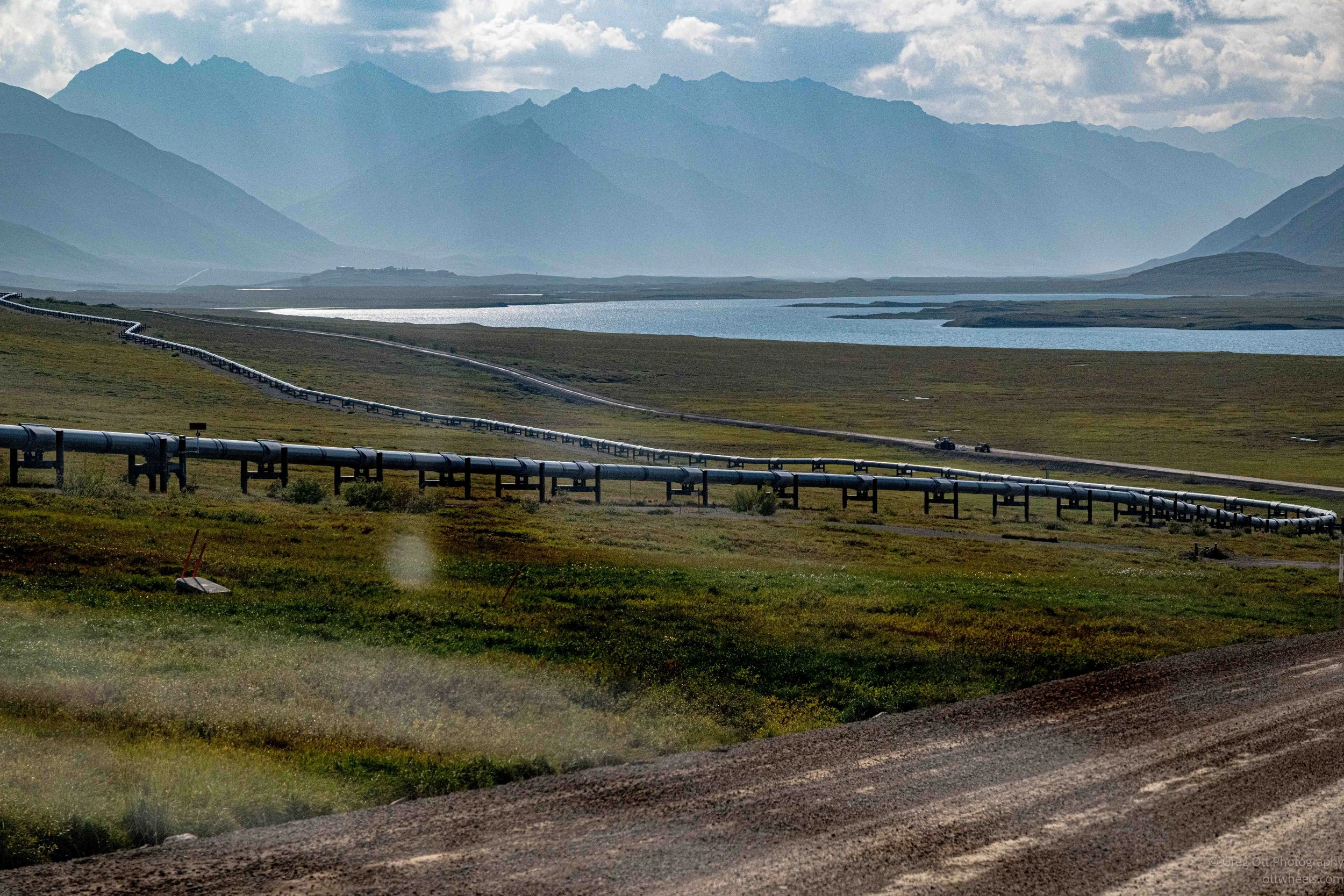
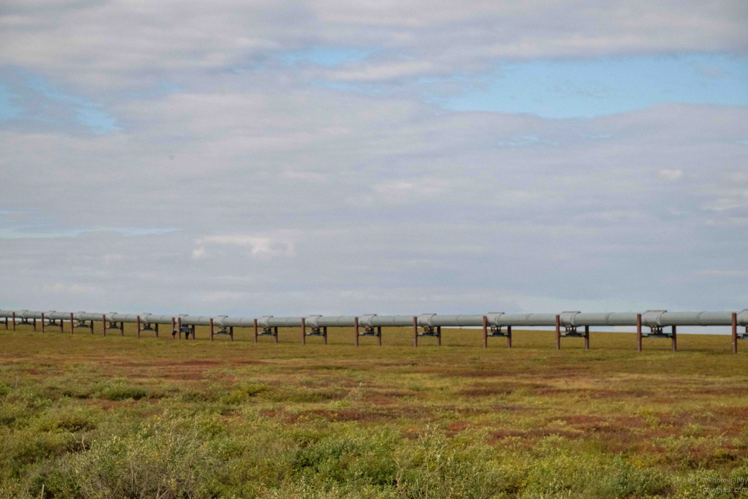
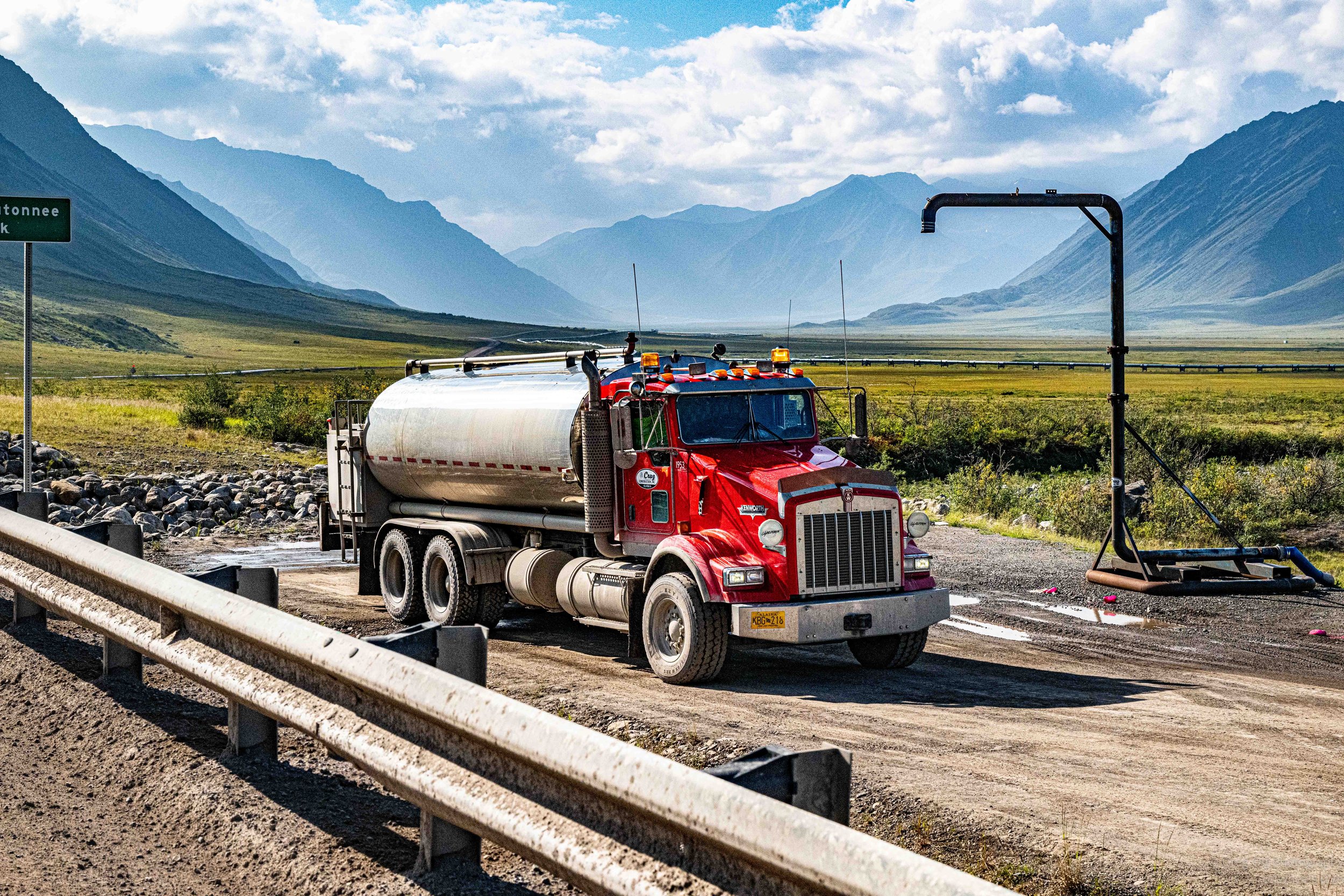
The Dalton was originally built by Alyeska as a haul road for construction and operation of the pipeline. The state eventually took over the highway, and Alaska DOT now maintains it. Maintenance crews are stationed at camps along the route, and keeping this road open is a continuous job. I watched tanker trucks filling with water from nearby waterways. The water is spread over the gravel during grading to help control the tremendous amount of dust.
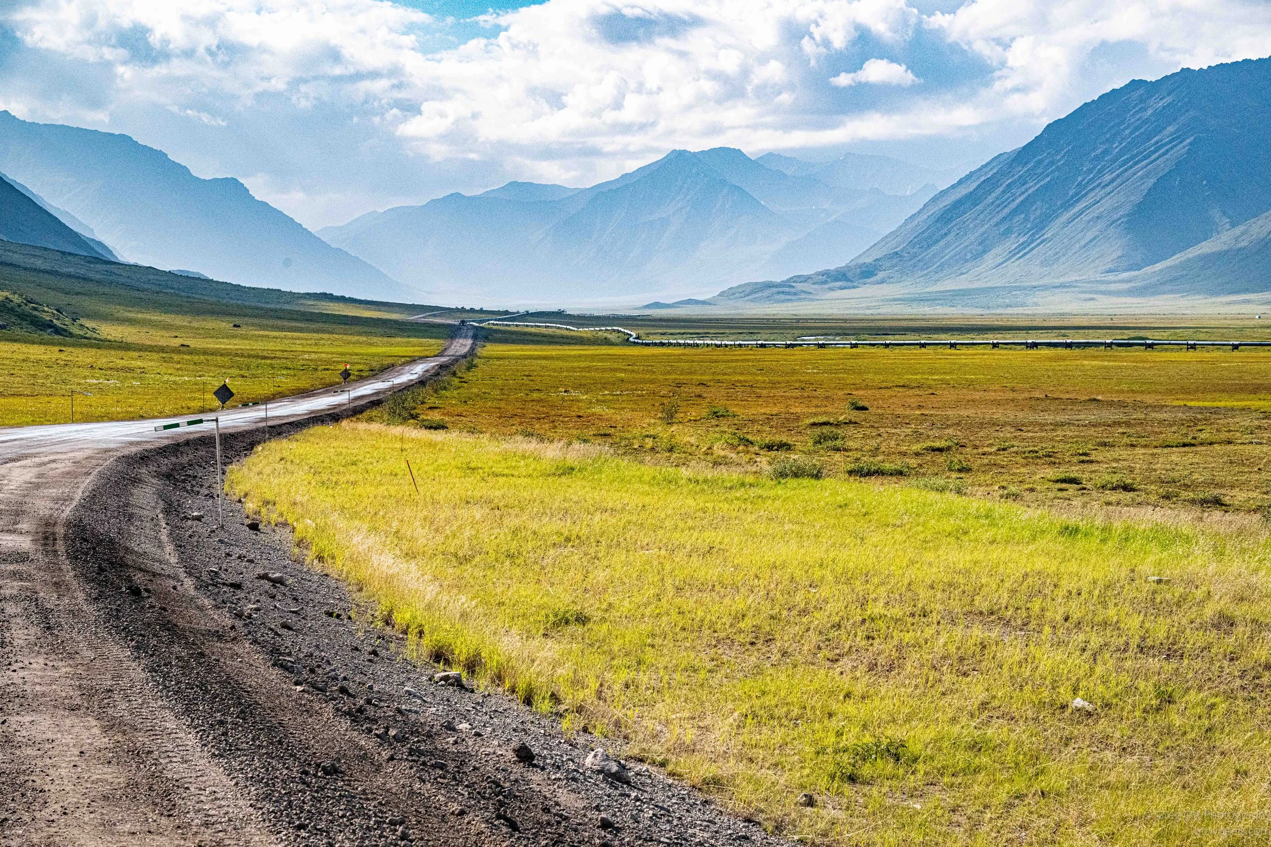
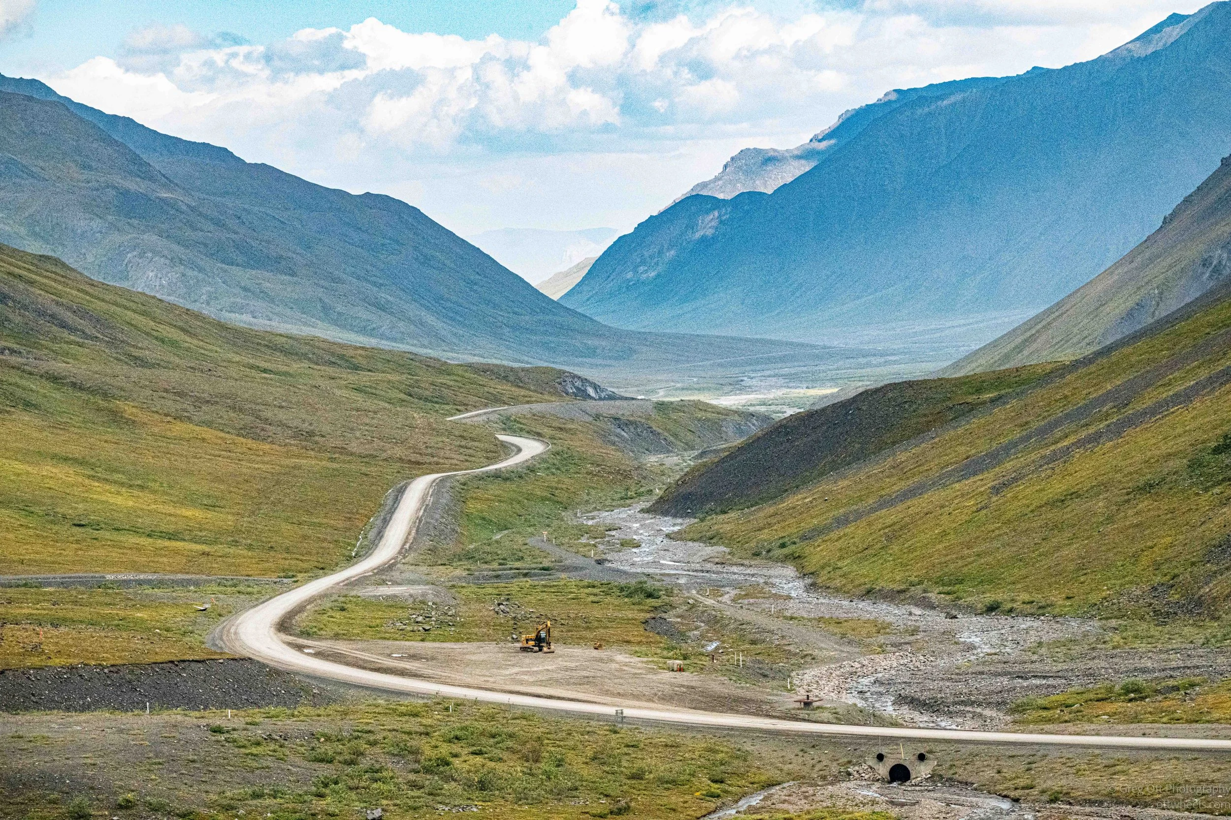
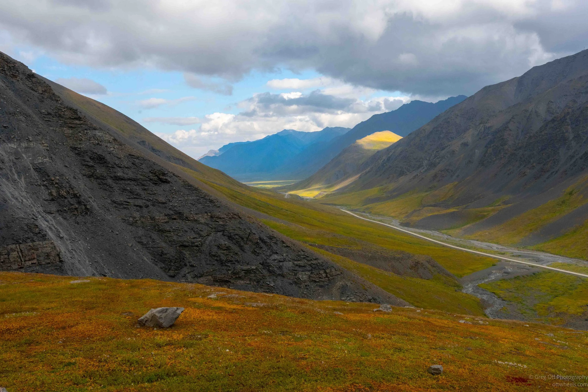
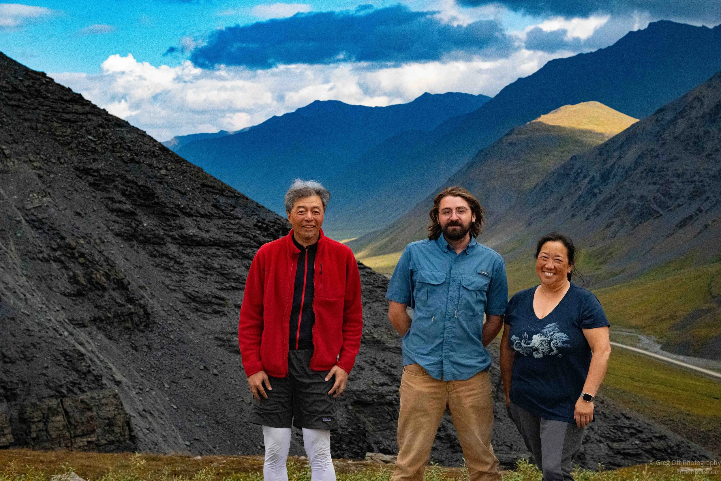
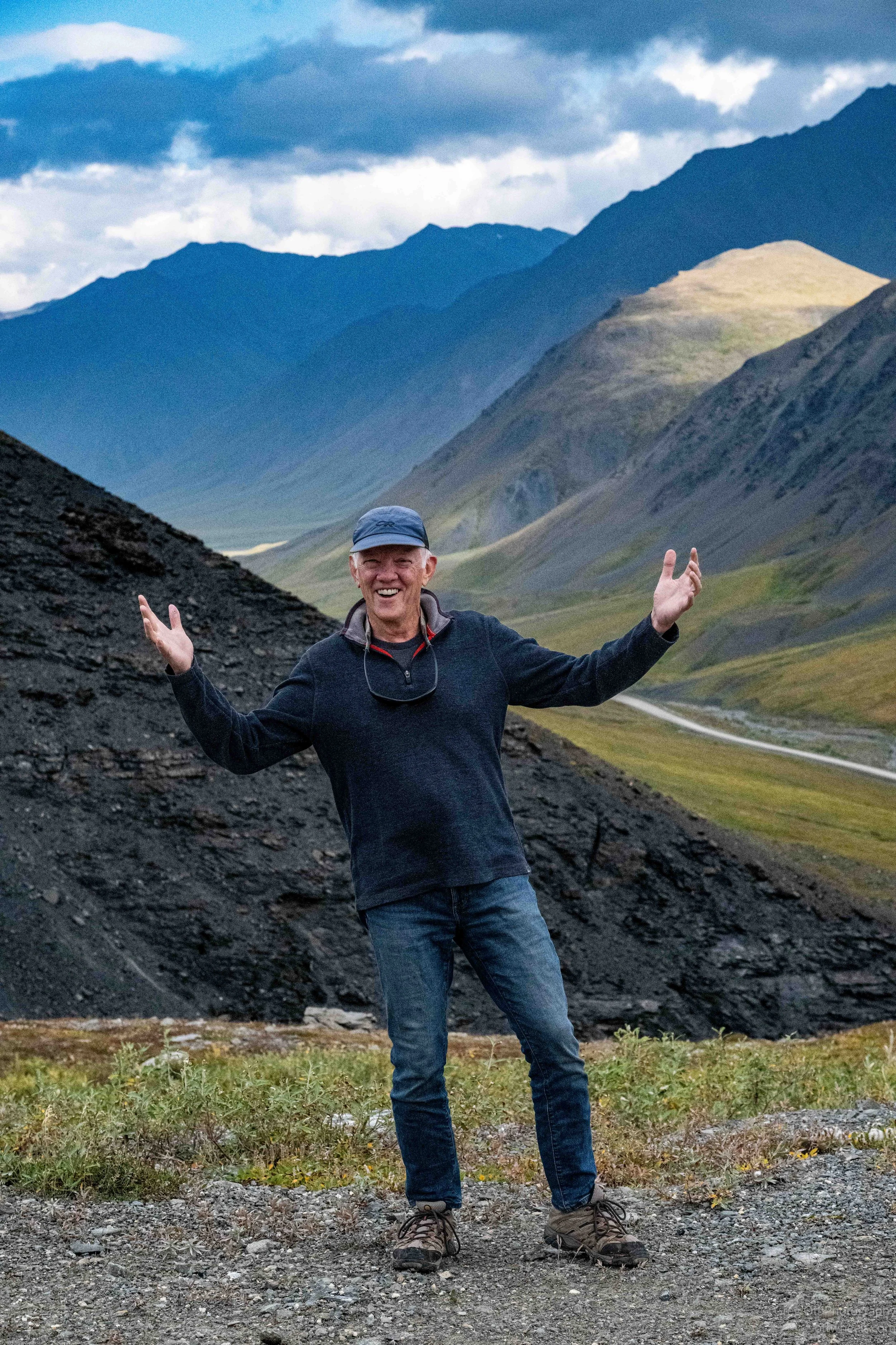
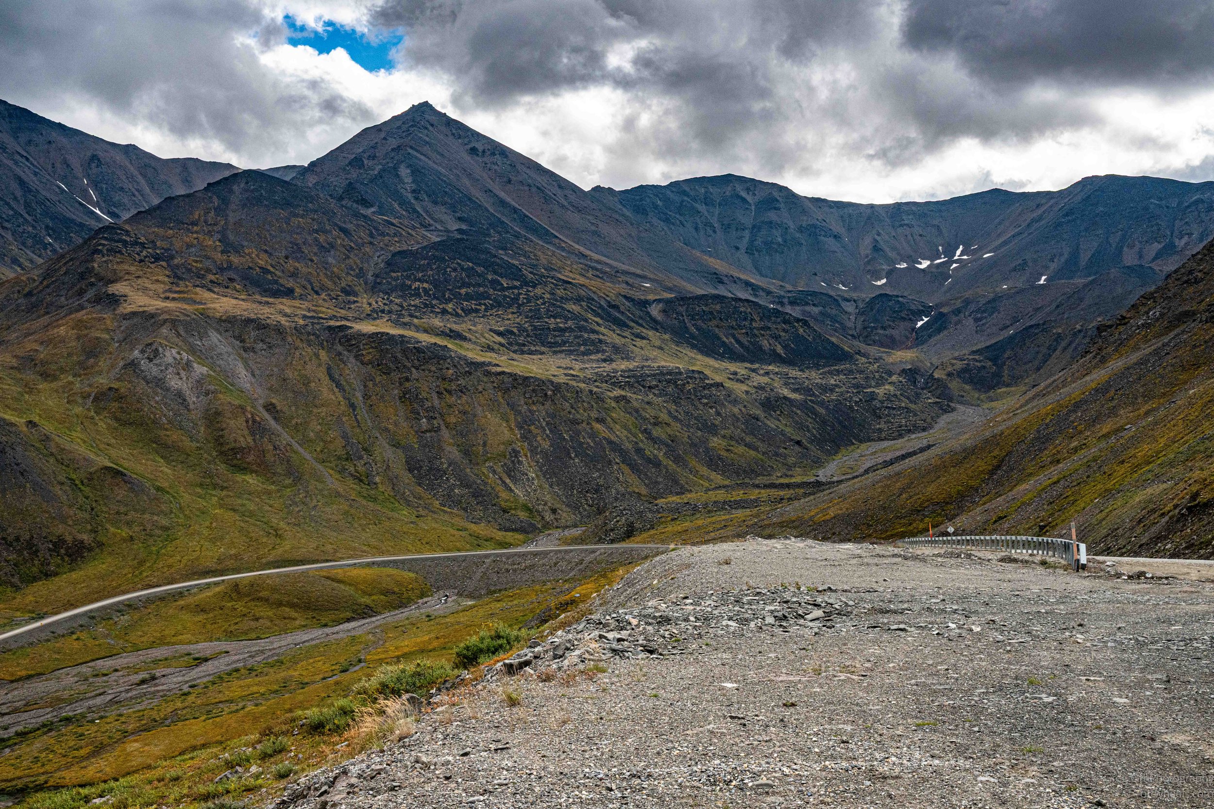
Our first real scenic stop was in the Brooks Range, looking back across the valley we had just traveled through. From the hillside, the Dalton Highway was little more than a thin line winding between the mountains, with a braided stream running alongside it. There were no trees, just tundra beginning to turn its late-summer shades of yellow, orange and red against the dark slopes. Heavy clouds covered most of the sky, but openings allowed patches of sunlight to move across the valley and briefly illuminate the mountainsides. It was our first chance to get out, look back and appreciate just how empty and enormous the Brooks Range really is.
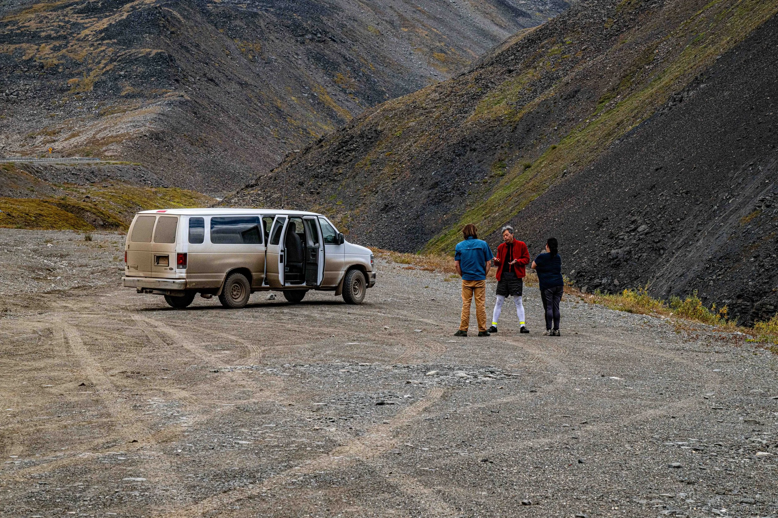
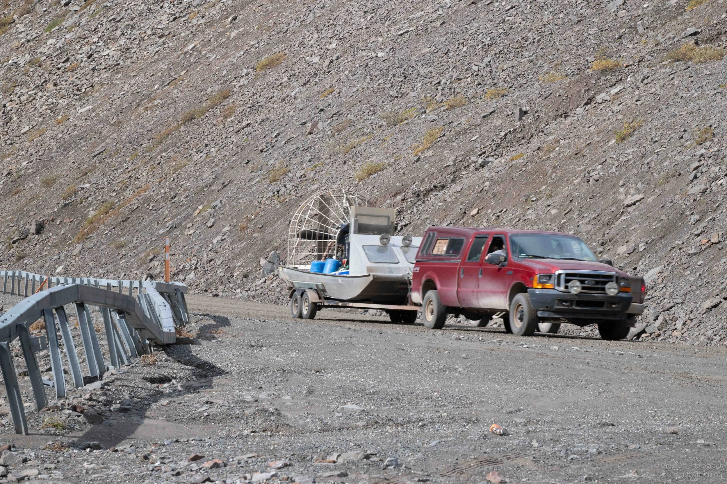
Periodically, vehicles would pass that raised more questions than they answered. At one stop, two trucks went by hauling airboats. The hunters inside waved as they passed. There seemed to be a camaraderie among the people willing to venture onto the Dalton.
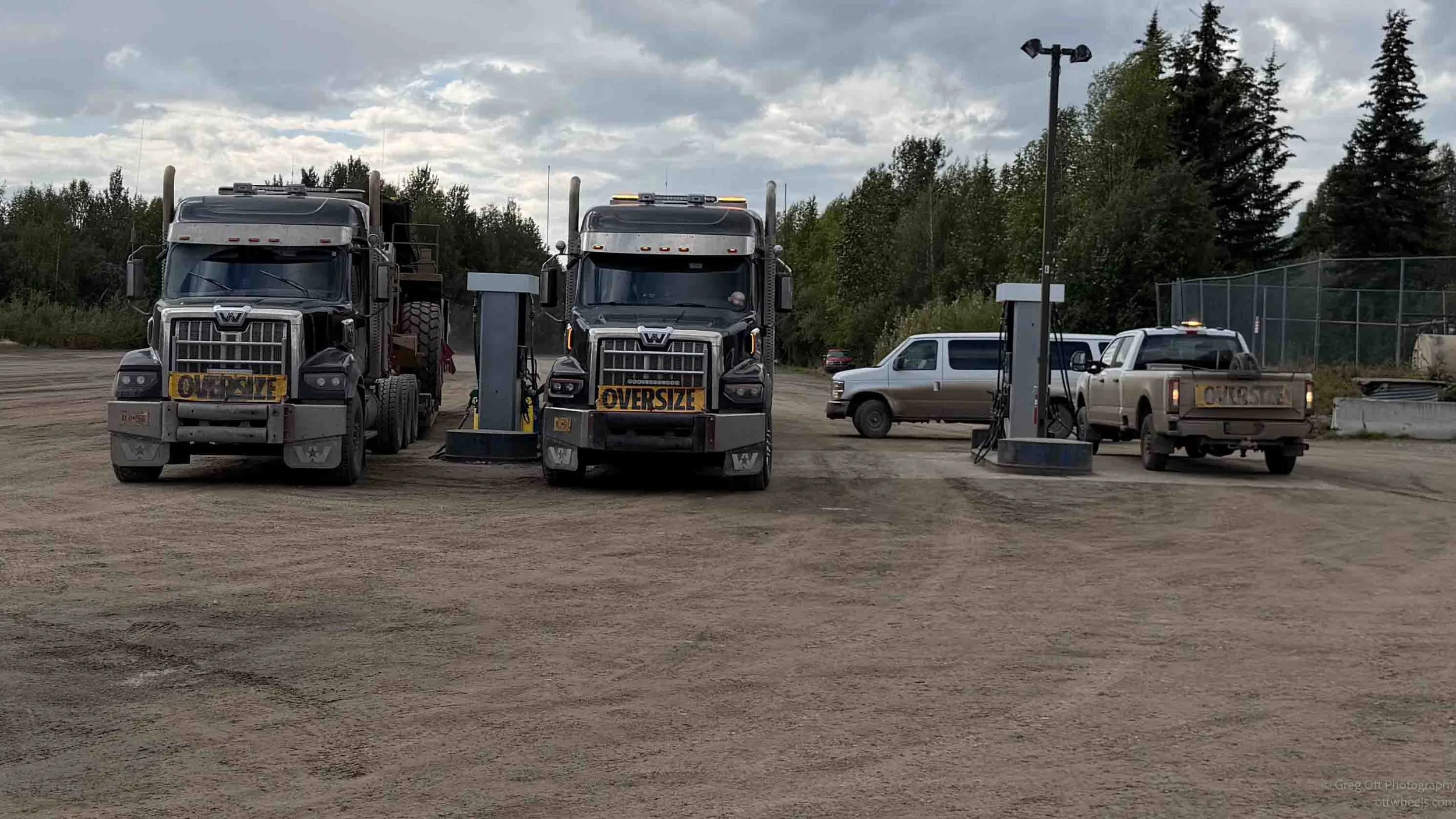
We also periodically encountered enormous wide loads, always with escort vehicles ahead and behind. CB radio is still an important part of life on the Dalton, with truckers generally using Channel 19. We often knew a wide load or some other problem was coming before we could see it. Of course, half the time the message was so garbled that none of us had any idea what had just been said.
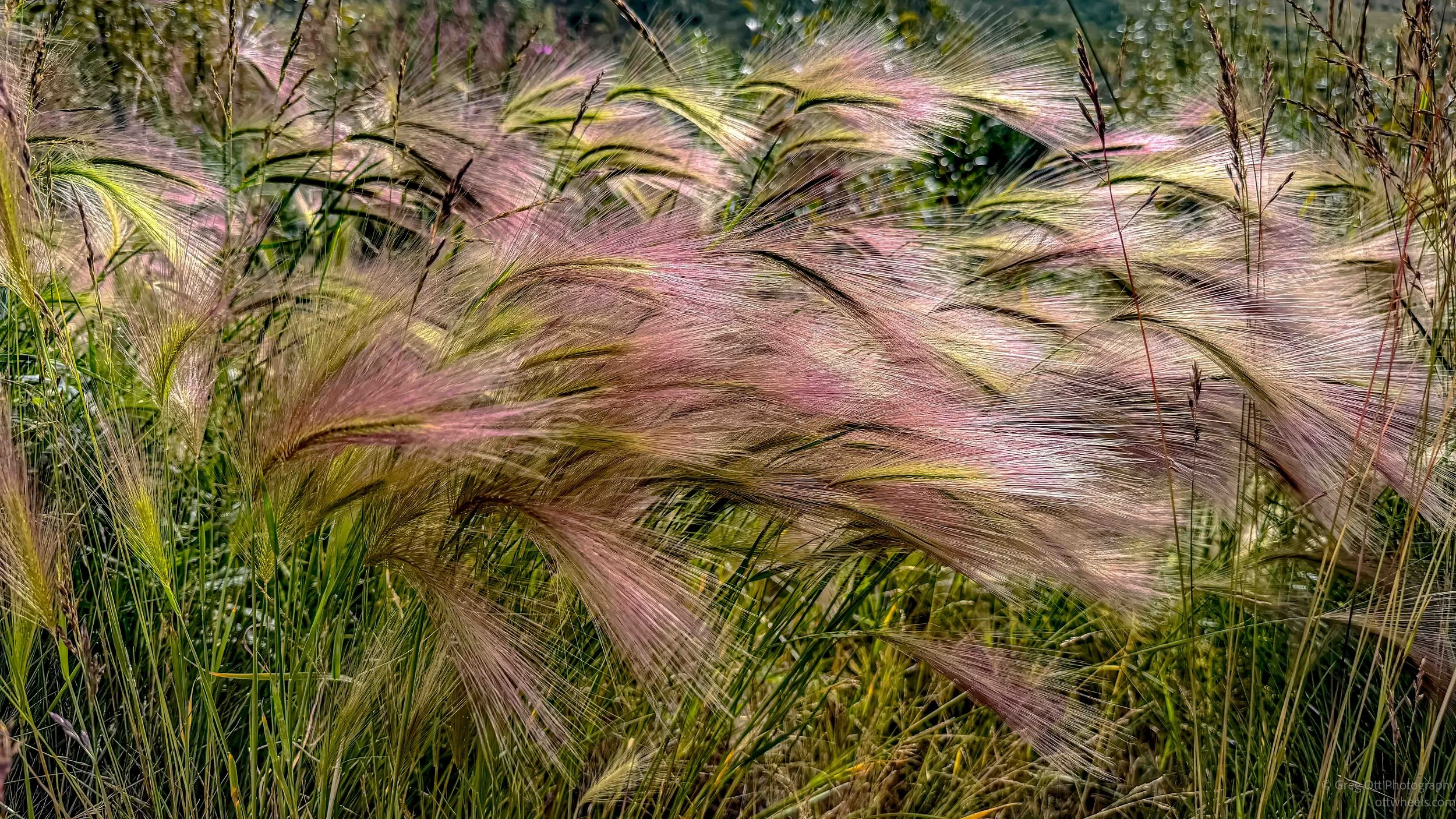
Our first bathroom break came later than intended because the planned stop was closed for road construction. We eventually pulled into a large gravel turnout with a single pit toilet. Nearby, sunlight was hitting tall grasses and bringing out incredibly vivid late-summer colors. I took a lot of photographs, knowing I’d probably throw most of them away.
Coldfoot
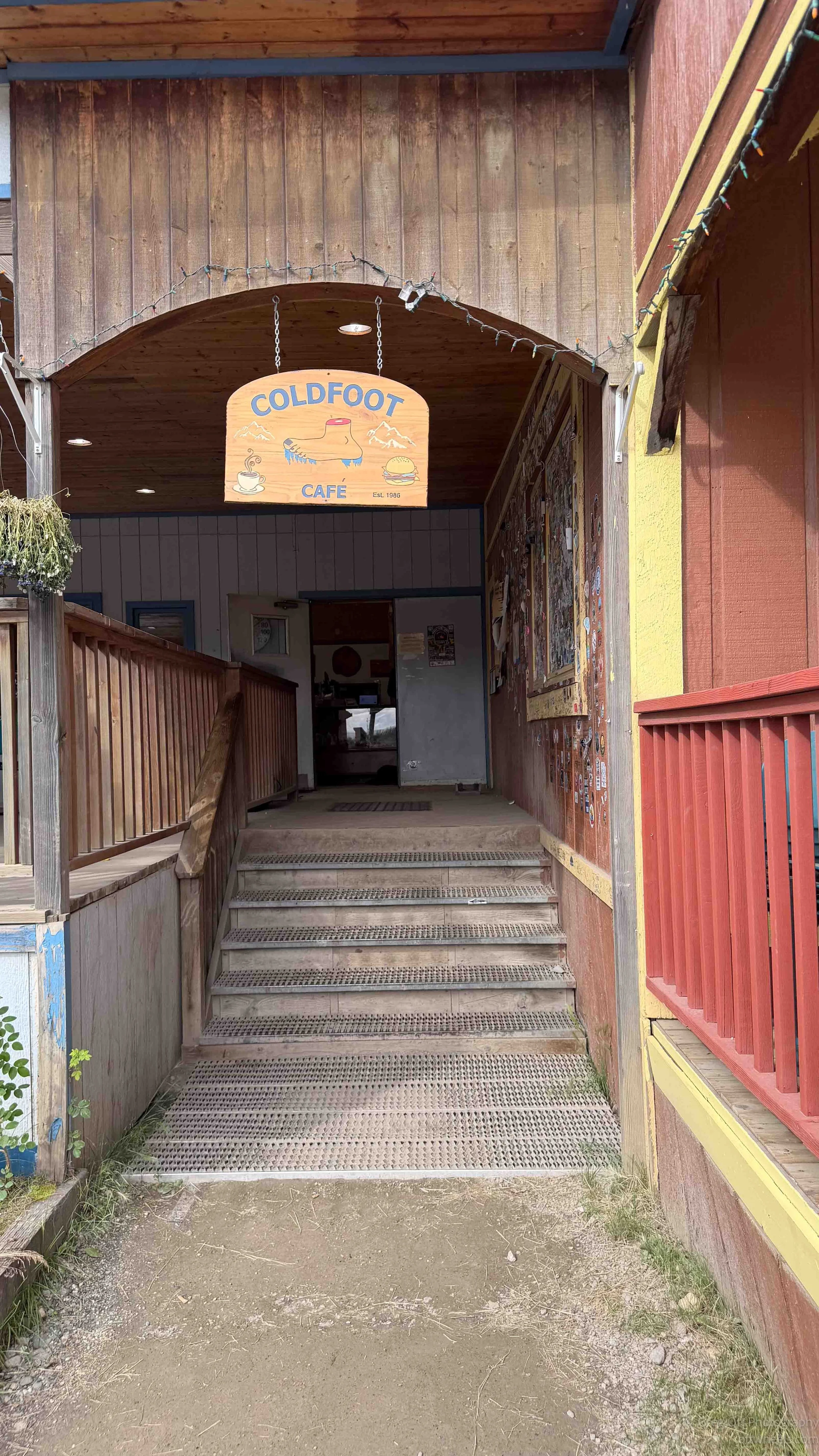
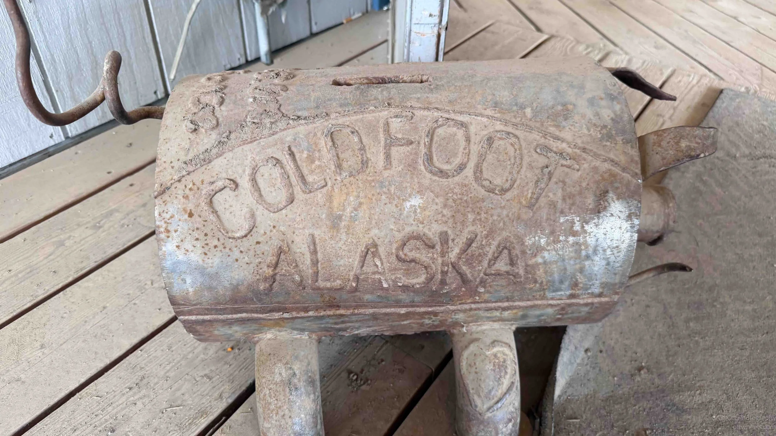
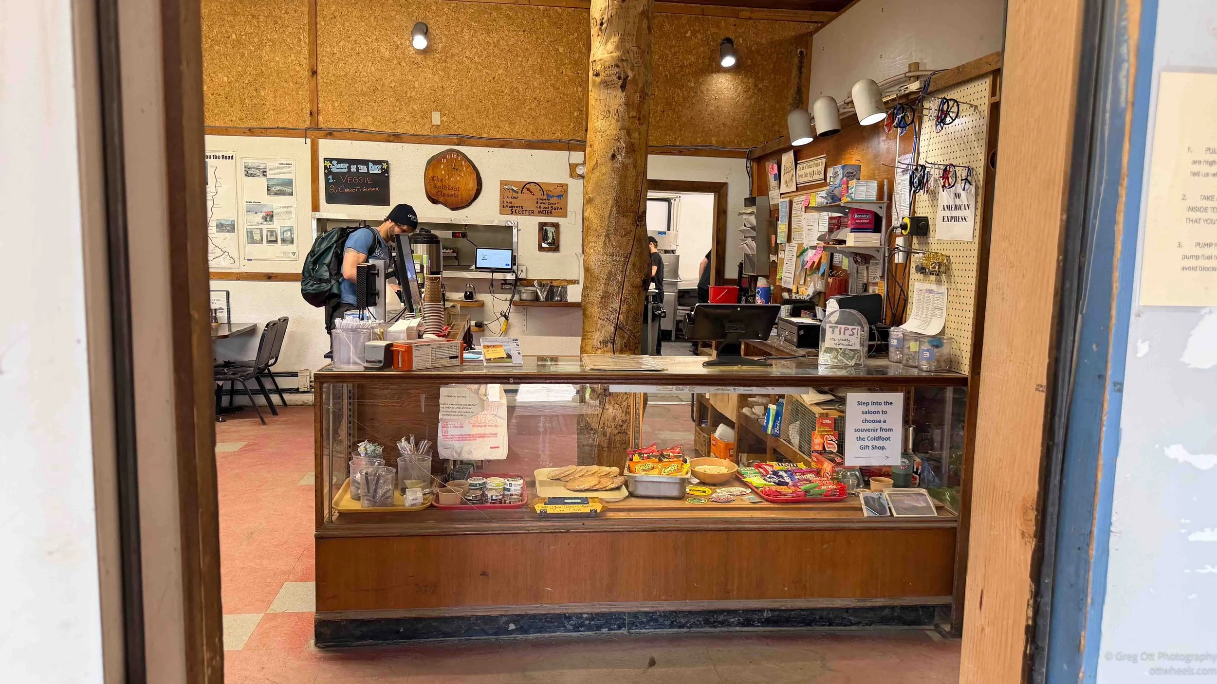
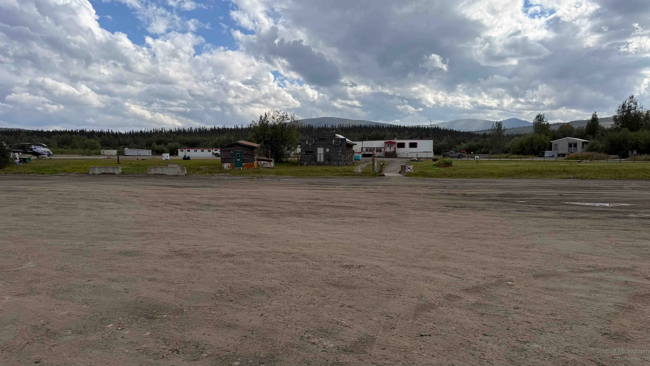
There are only a few significant stops along the Dalton, and Coldfoot was our first. Calling it a town is probably generous. It is essentially a small collection of buildings serving truckers, pipeline workers and travelers, with fuel, lodging, a post office, the Coldfoot Cafe and a visitor center across the highway. In this part of Alaska, that qualifies as a major stop.
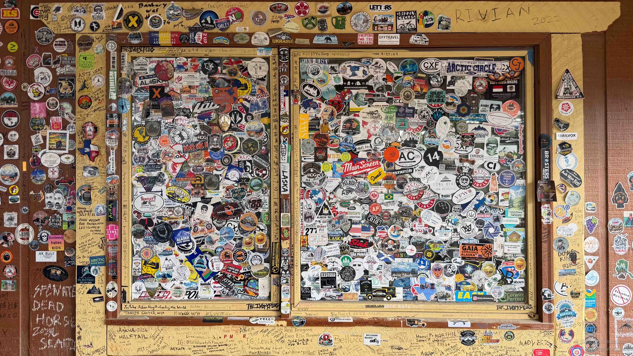
We stopped at the cafe for lunch, where I ordered vegetable soup, a veggie burger and coffee. The soup was more like a thick pumpkin soup with a strange flavor and an undertone of burnt seeds. My veggie burger turned out to be a very rare hamburger, and my request for real cream resulted in a search before they finally found some. Outside, one wall was almost completely covered with stickers left by travelers who had passed through over the years.
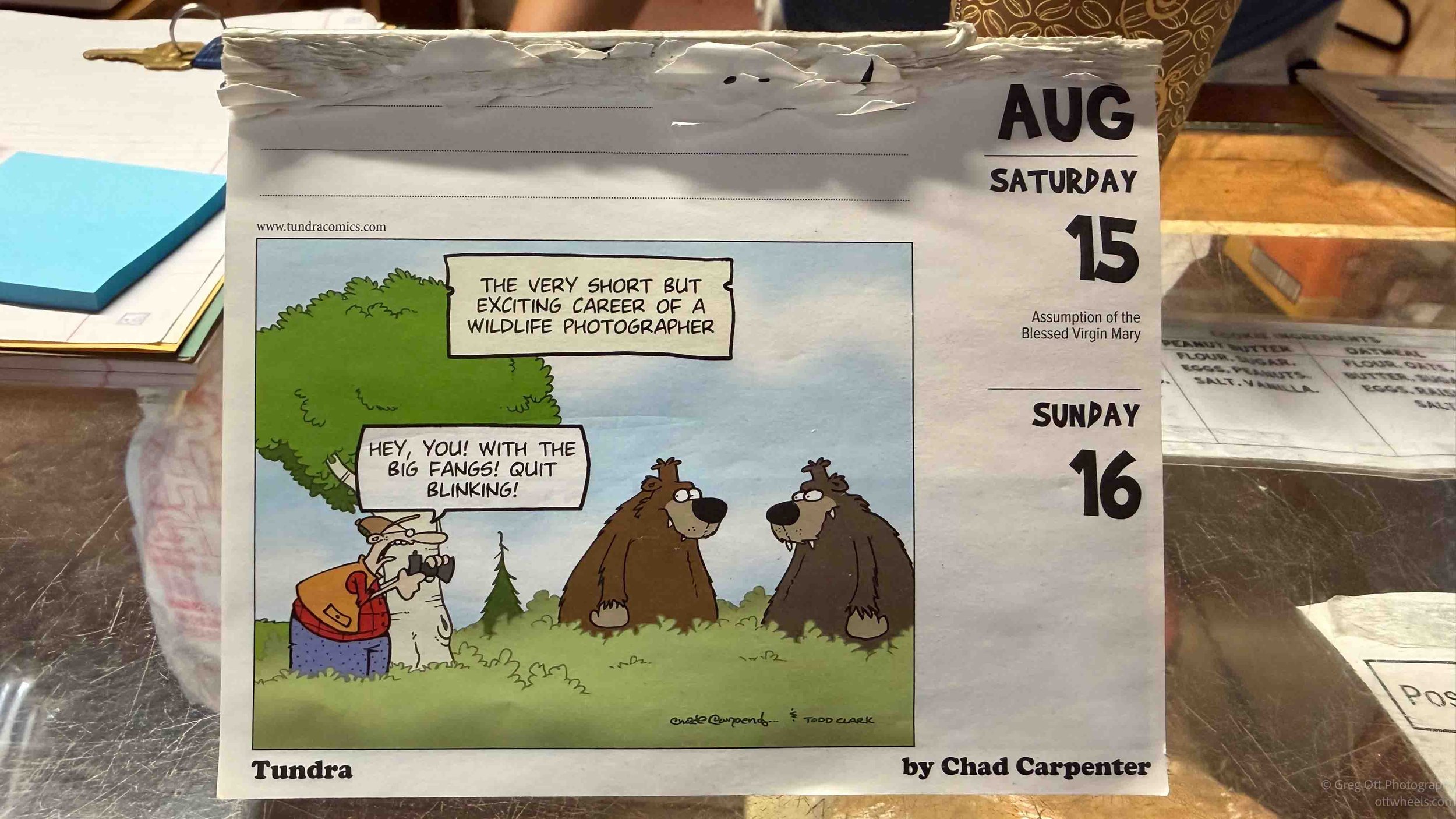
Sitting on the counter was a Tundra cartoon calendar showing a wildlife photographer standing a few feet from two bears yelling, “Hey, you! With the big fangs! Quit blinking!” The title was “The very short but exciting career of a wildlife photographer.” Given some of my recent photographic adventures in Alaska, it seemed strangely appropriate.
The Coldfoot stop was owned by the same company that owned Deadhorse Camp and several other businesses I had encountered along the way. Sukakpak, Inc., named after Sukakpak Mountain just north of Coldfoot, has assembled an interesting collection of businesses that keep people moving through northern Alaska. The group is connected with Northern Alaska Tour Company, Dalton Highway Express, Wright Air and Warbelow’s Air Ventures. Even the shuttle I was riding was part of the operation.
After spending a few days up here, I began to realize that many of the planes, vans, tours, rooms and places to eat that I had been using were all connected. In a part of Alaska with so little infrastructure, Sukakpak seemed to be everywhere.
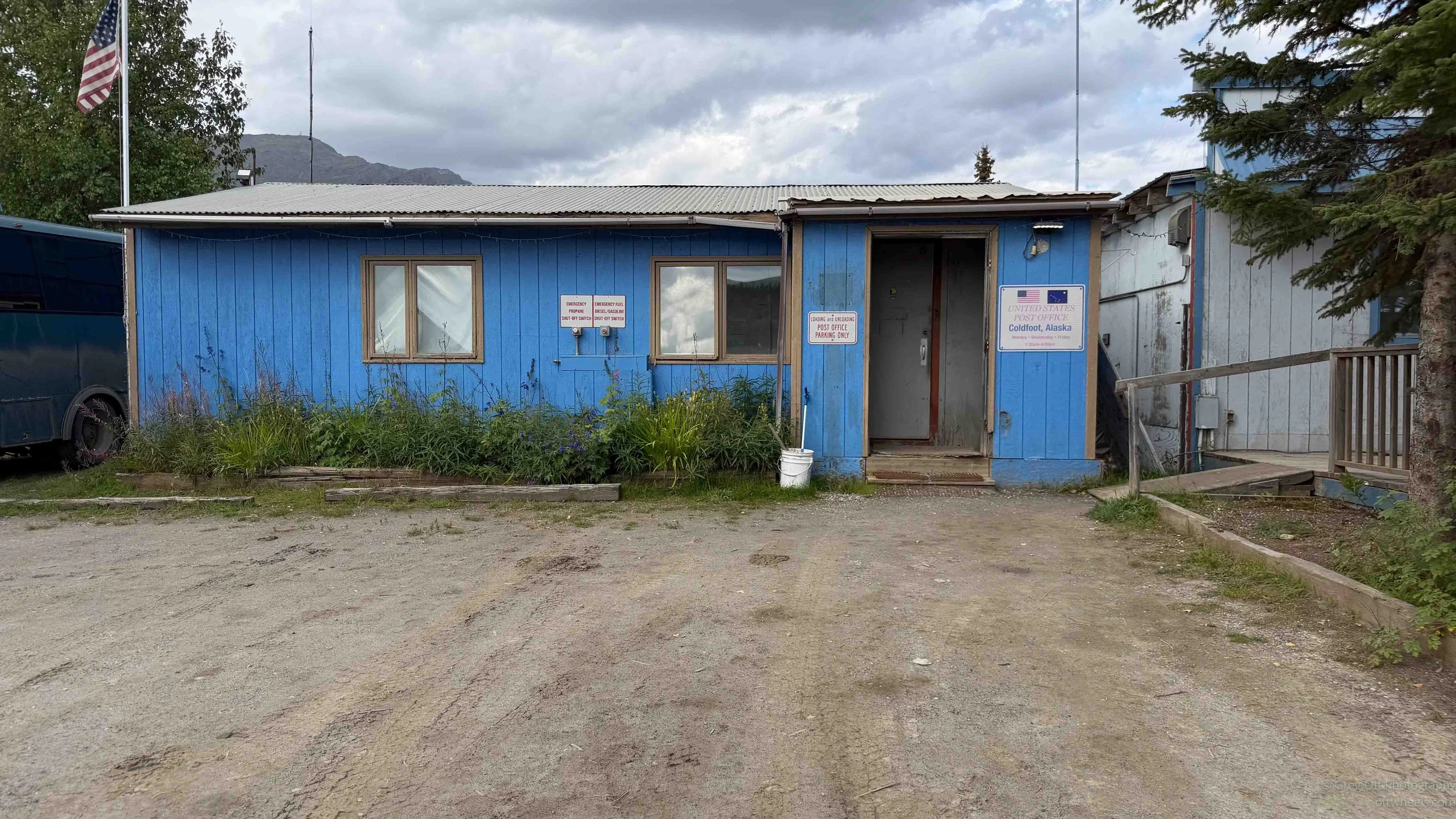
The post office next door was small, but not the smallest I’ve seen. That was at the Ochopee, FL postoffice.
Cost of Driving the Dalton
I kept telling Will how happy I was that I hadn’t driven the van up the Dalton Highway. An engineer had convinced me that the wear on the van and the risk of something breaking simply weren’t worth it. By the time I reached Deadhorse, I had met two people with cracked windshields and another with a very expensive setup that had suffered broken shear bolts, tire damage and components shaken loose inside. People repeatedly warned me about flat tires and the heavy wear on tires from the road. On our drive back, we were struck twice by rocks thrown up by passing trucks. I was increasingly convinced I had made the right decision. The BLM overview of the Dalton Highway is here.
-
The round trip from Fairbanks to Deadhorse and back would have been about 1,000 miles. I estimated the additional wear on my 9,000-pound campervan at $1.00 per mile, accounting for the gravel, washboard, potholes, vibration and added stress on the tires, suspension and everything built into the van.
For comparison, the IRS mileage rate in August 2026 is 76 cents per mile for normal business driving. That rate is intended to represent the overall cost of operating an ordinary vehicle, including both fixed and variable expenses, and many drivers already consider it low compared with the actual cost of owning and operating a vehicle.
My $1.00-per-mile figure is not an IRS-style operating-cost estimate and does not include fuel, which I calculate separately below. It is simply my estimate of the additional wear imposed by taking a 9,000-pound campervan over 1,000 miles of the Dalton Highway. Given the road conditions and the complexity of a campervan—with its suspension, tires, cabinetry, appliances, plumbing and electrical systems constantly being shaken—I think $1.00 per mile may actually underestimate the real cost of that wear.
These calculations are based on one person traveling. With two or more people sharing the cost, driving may make more sense. On the other hand, I didn't take the cheapest flight available. I booked fairly late and paid for a seat upgrade, so someone booking earlier and choosing the least expensive fare could potentially make the fly-and-shuttle option even cheaper.
Cost to Drive
Fuel: 1,000 miles ÷ 12 mpg × $4.75 = $396
Estimated additional vehicle wear: 1,000 miles × $1.00 = $1,000Estimated cost to drive: $1,396
Cost to Fly and Take the Shuttle Back
Alaska Airlines: $559.40
Additional airline charge: $36.00
Dalton Highway Express: $435.00Actual cost: $1,030.40
The Difference
Drive the van: $1,396
Fly and shuttle: $1,030Flying and taking the shuttle saved about $366.
And that calculation doesn't include anything actually breaking. One damaged tire, cracked windshield, suspension problem or component shaken loose inside the van could have increased the cost considerably. I met people in Deadhorse with cracked windshields, tire damage, broken shear bolts and components shaken loose inside their vehicles. We were also struck twice by rocks thrown by passing trucks on the trip south.
Instead, I flew north, traveled the entire Dalton Highway south, and left my van safely parked in Fairbanks. I think I made the right decision.
Arctic Circle
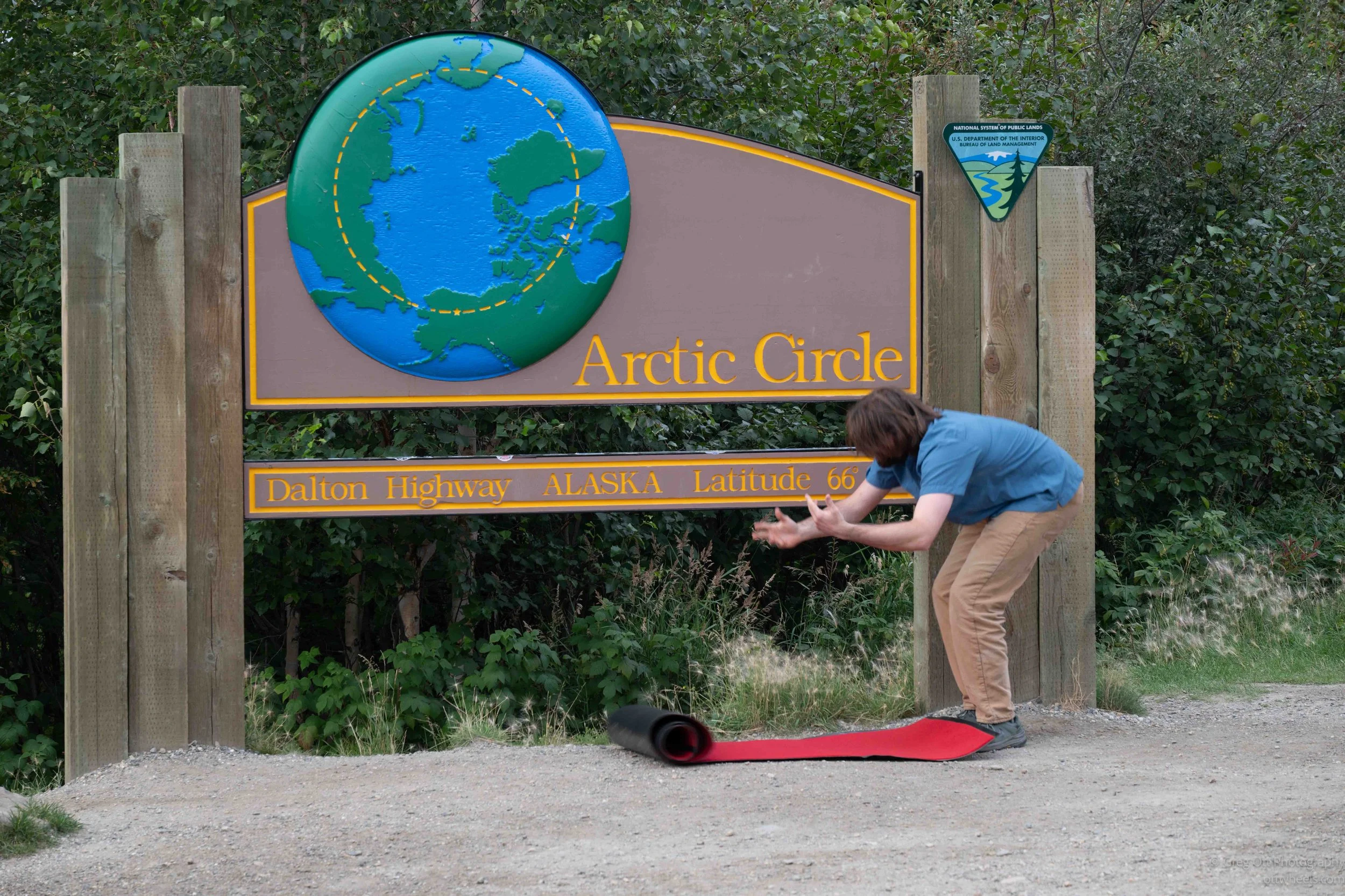
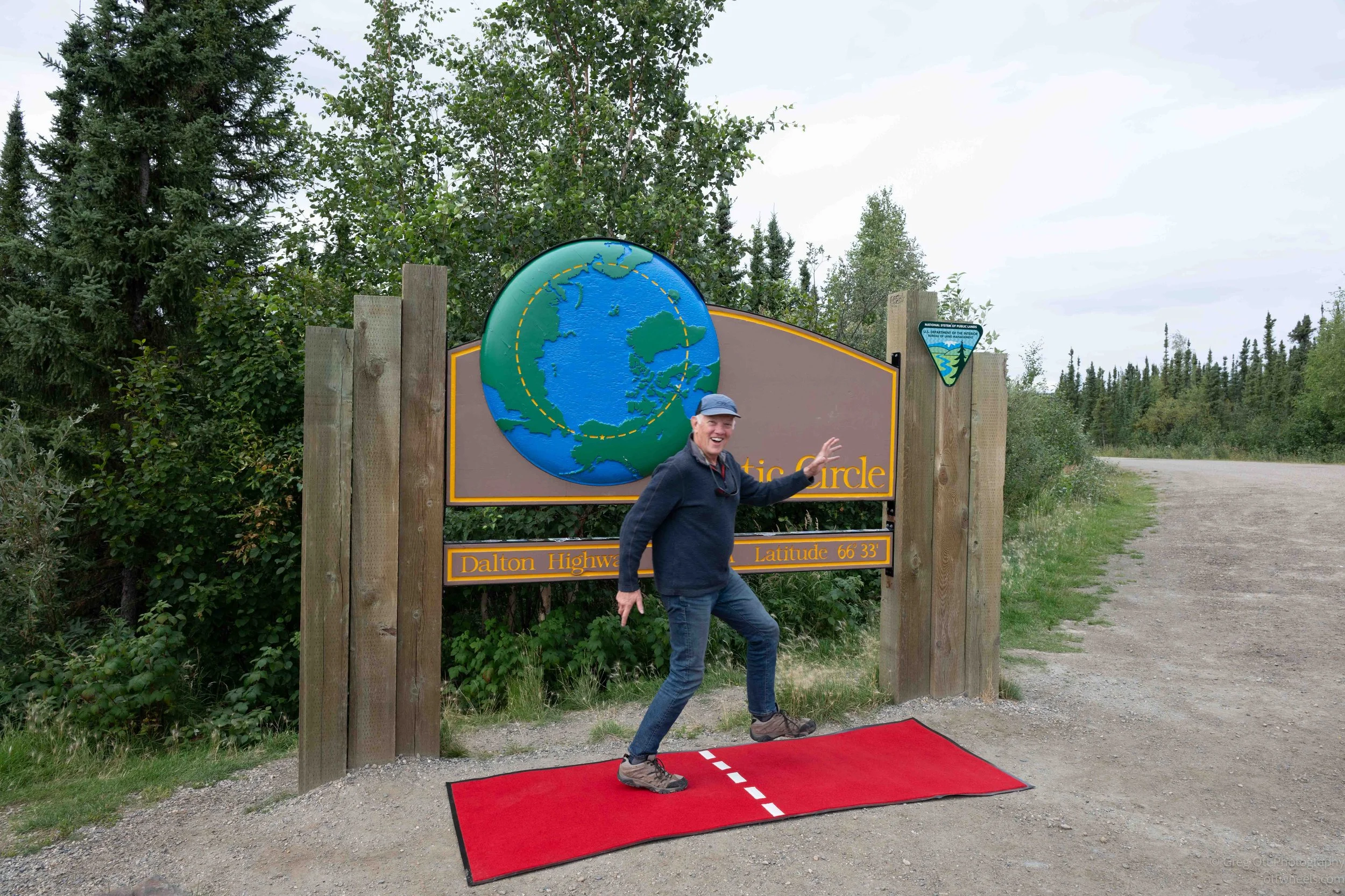
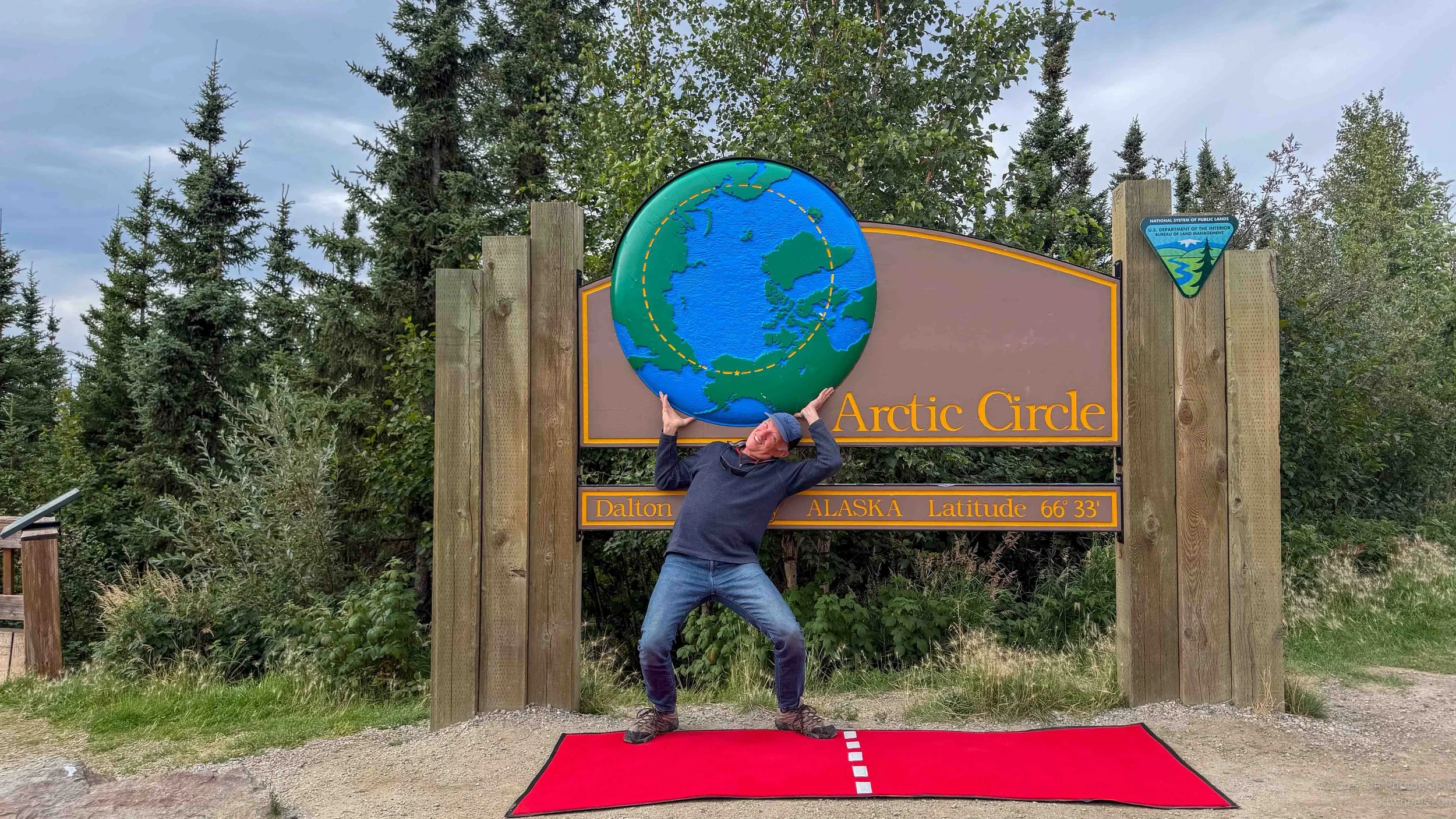
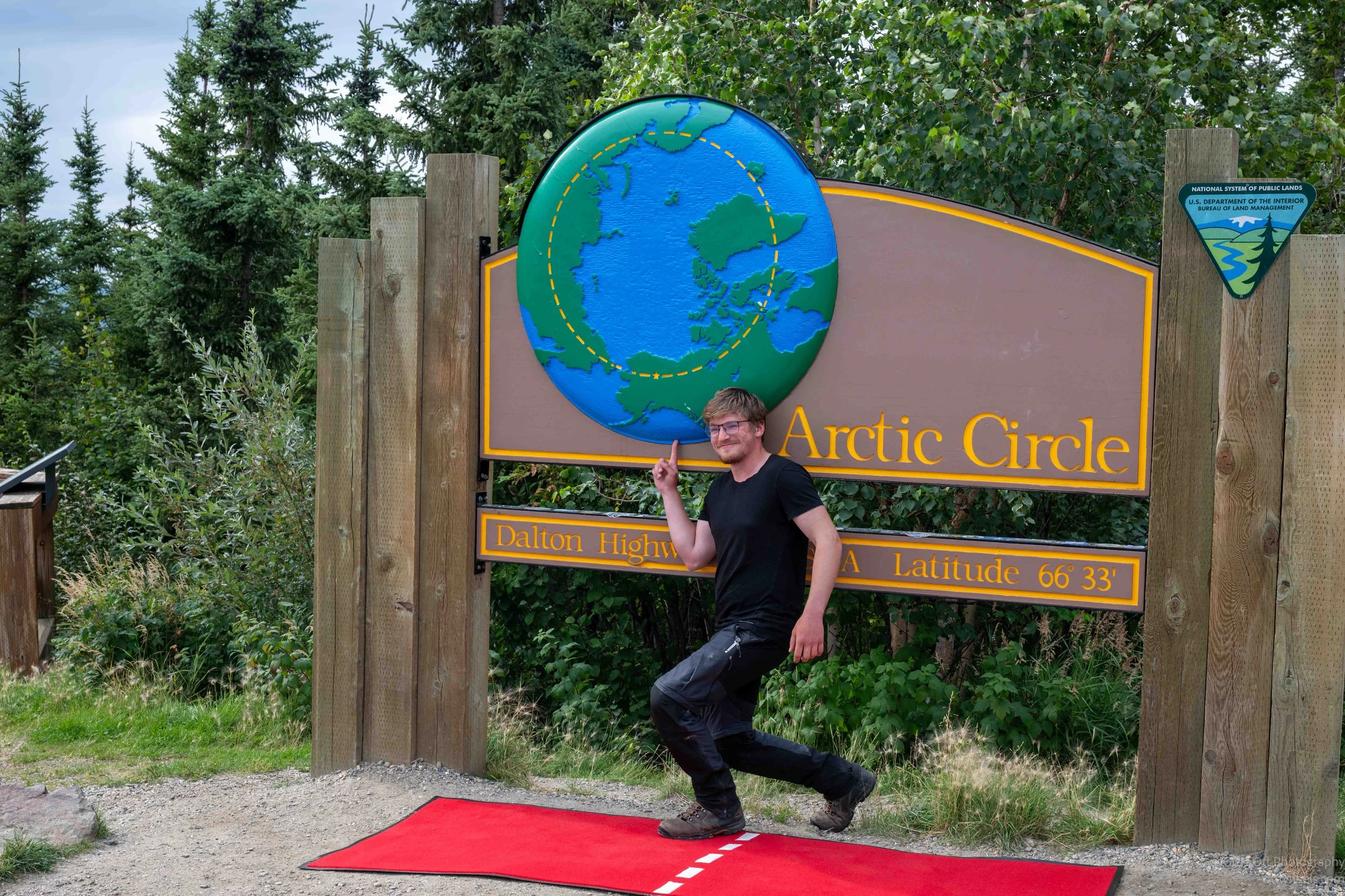
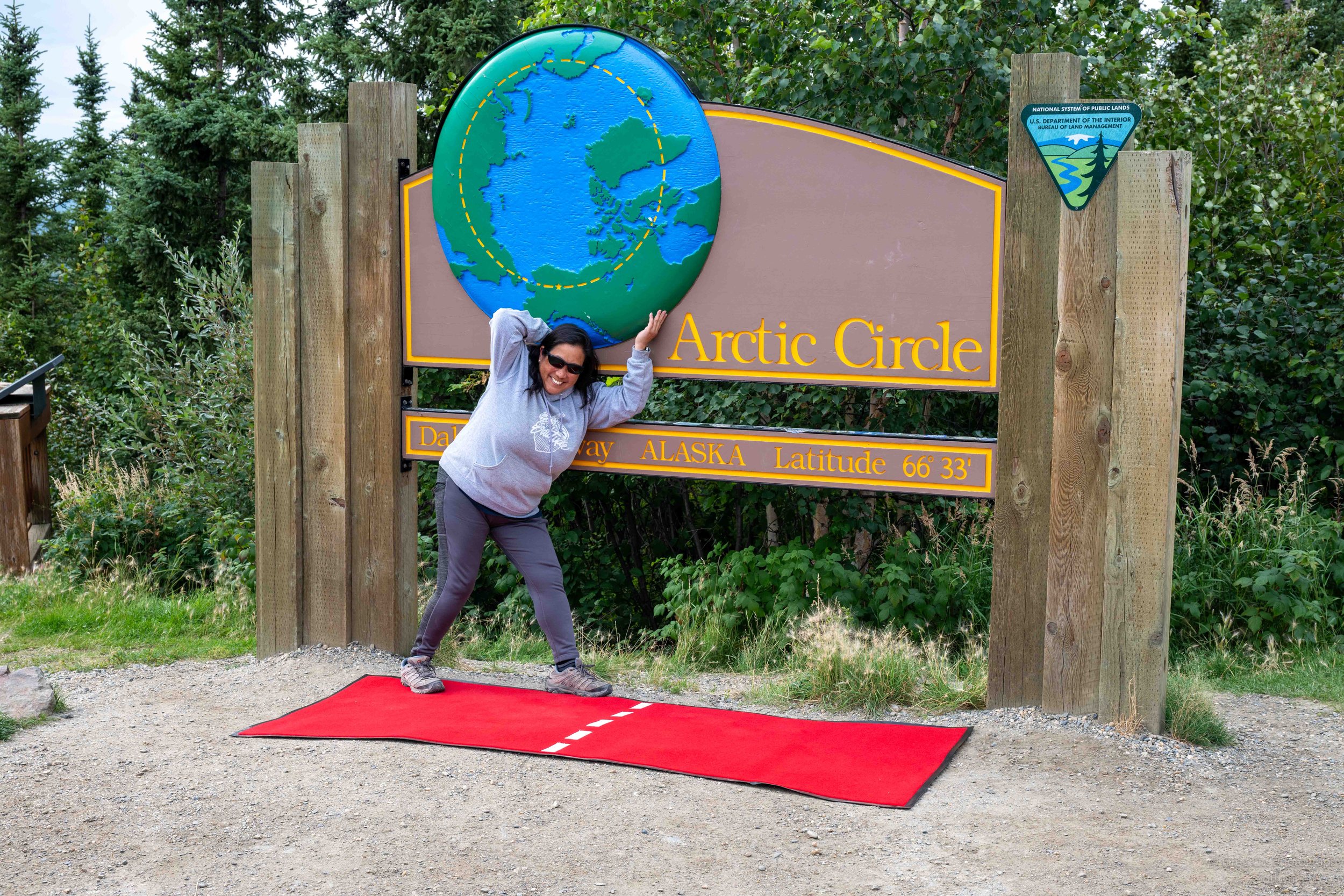
The Arctic Circle sign was one of the stops I had been looking forward to, and I wasn’t the only one who seemed excited about it. Will pulled out a special red carpet, which I had seen in photos and assumed was actually part of the site. He rolled it out with a little fanfare as we all clapped. Then we took turns walking across the Arctic Circle and posing for the obligatory silly photos.
Yukon River Bridge
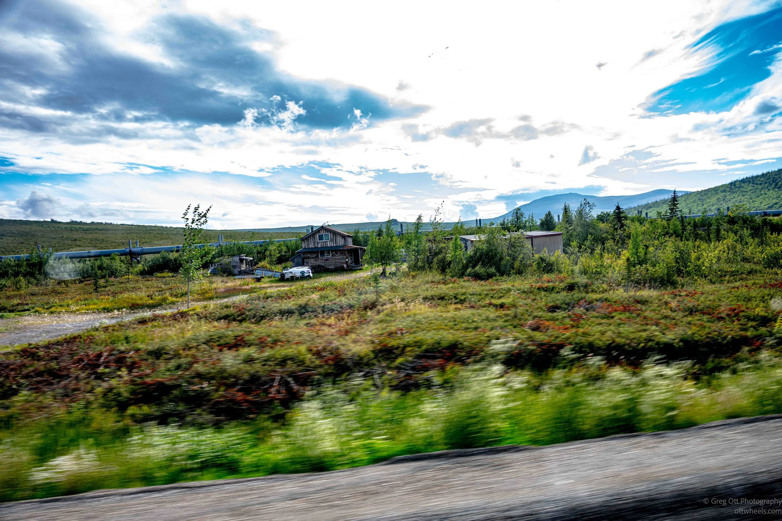
We stopped again at the Yukon River Bridge, which had another store, restaurant and gas station. We filled up and we had about 20 minutes to walk around, so I went to check out the river and bridge. Just before we arrived at the Bridge there was the only house I saw the entire trip.
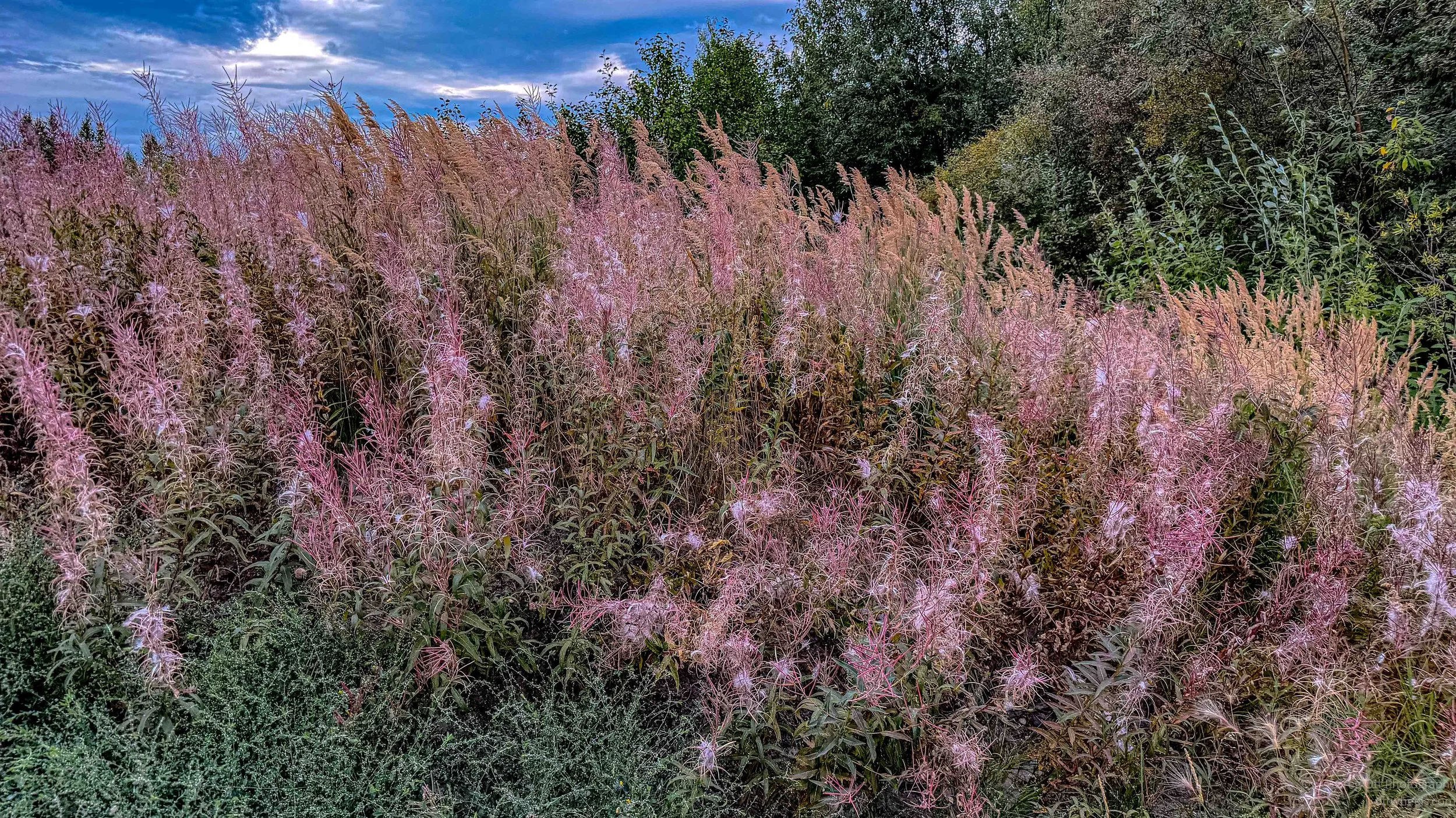
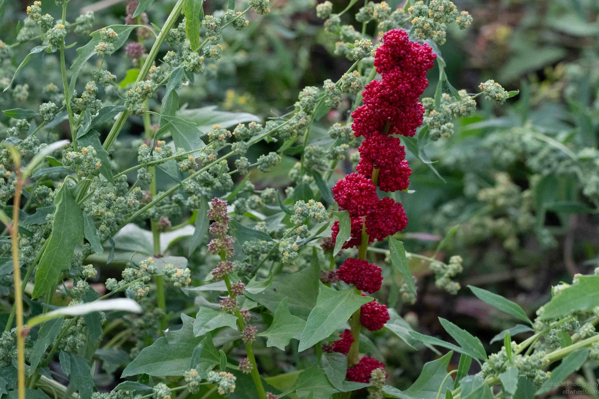
Near the river was a bright red plant called strawberry blite, or Indian paint, which is native to Alaska. I had never seen one before, and it was hard to miss. Nearby was a wall of pinkish fireweed that looked completely different from the purple flowers I remembered when I entered Alaska in June. This was fireweed near the end of its season, after the flowers had faded and the seed pods had opened.
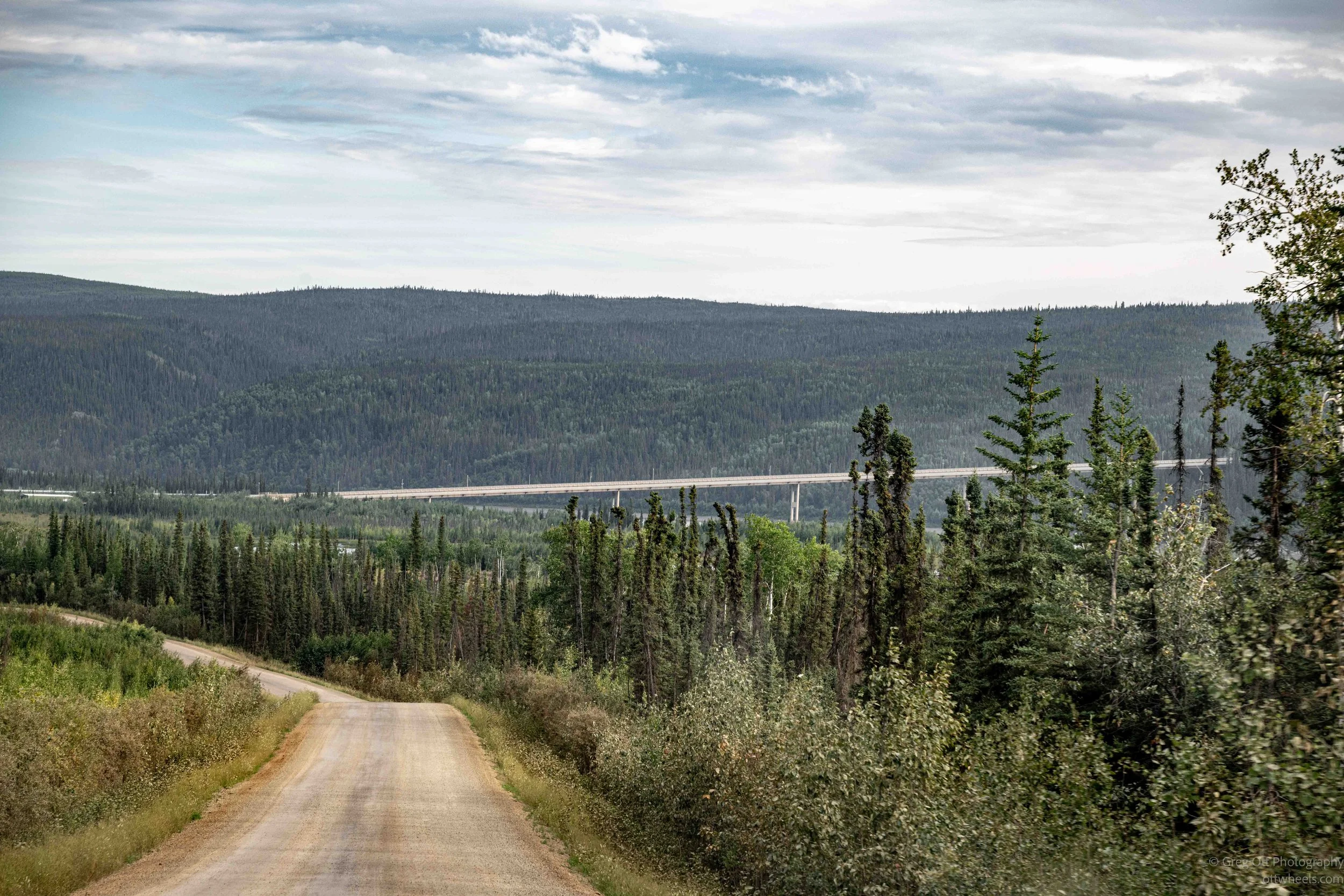
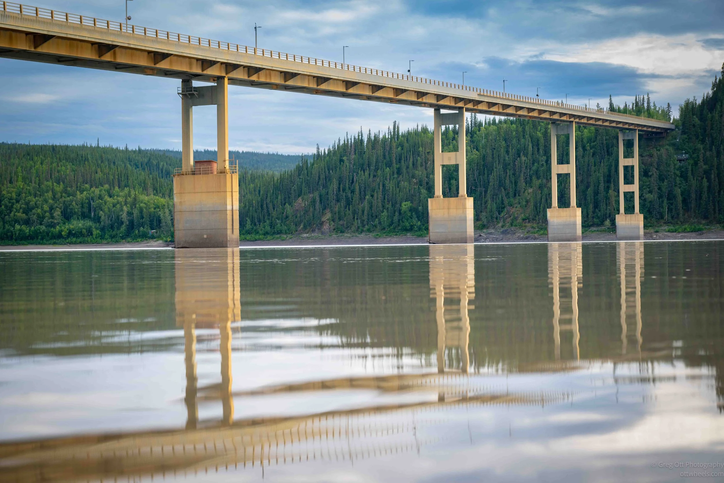
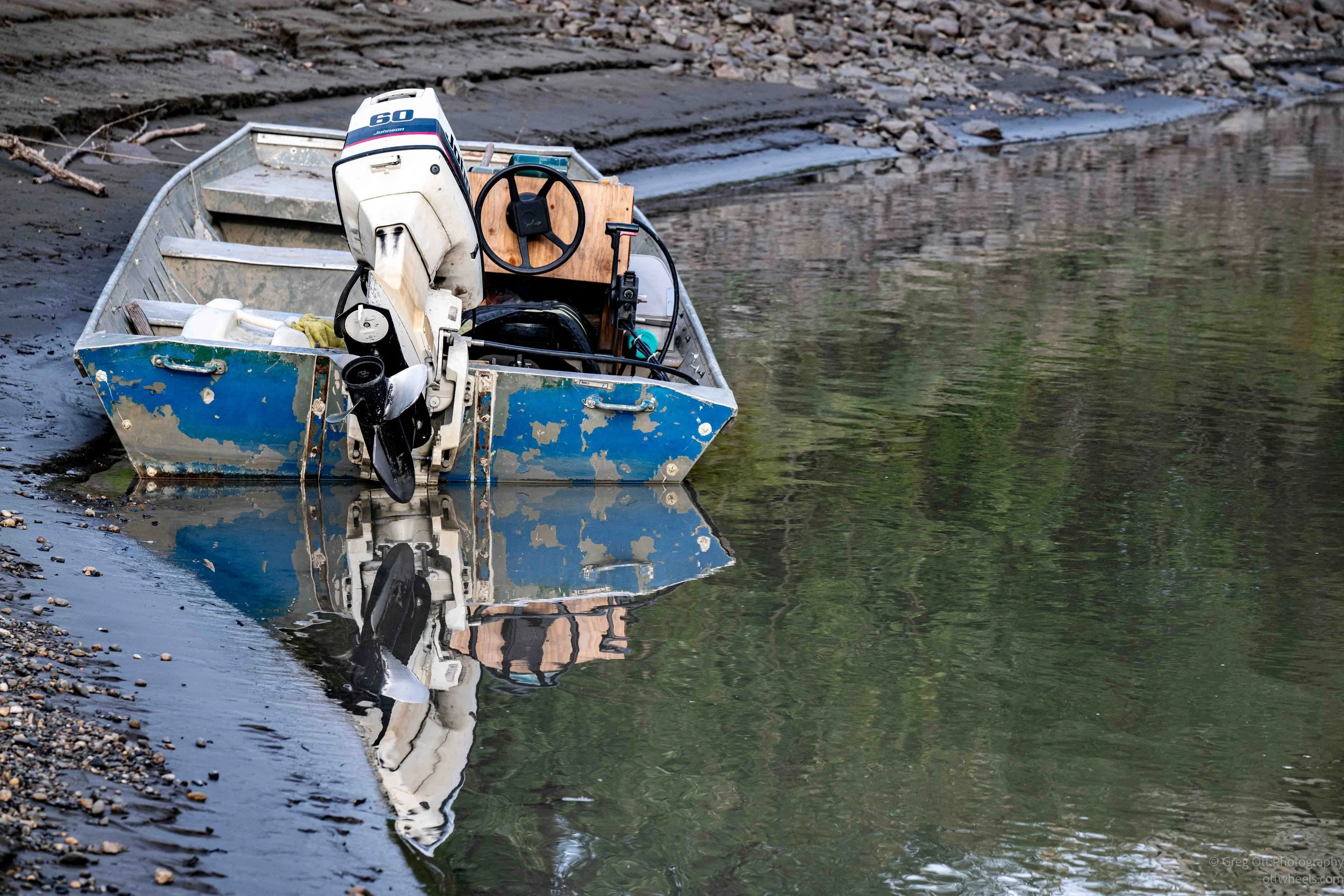
The Yukon River seemed low and wasn’t moving particularly fast. I grabbed a few photos of the bridge and a boat nearby, then noticed a large landslide scar on the other side of the river. The slide occurred in 2012, only a few hundred feet from the bridge. It didn’t damage the bridge, but its proximity raised concerns about the stability of the surrounding slopes and the possibility of future slides.
The Old Wildwood General Store
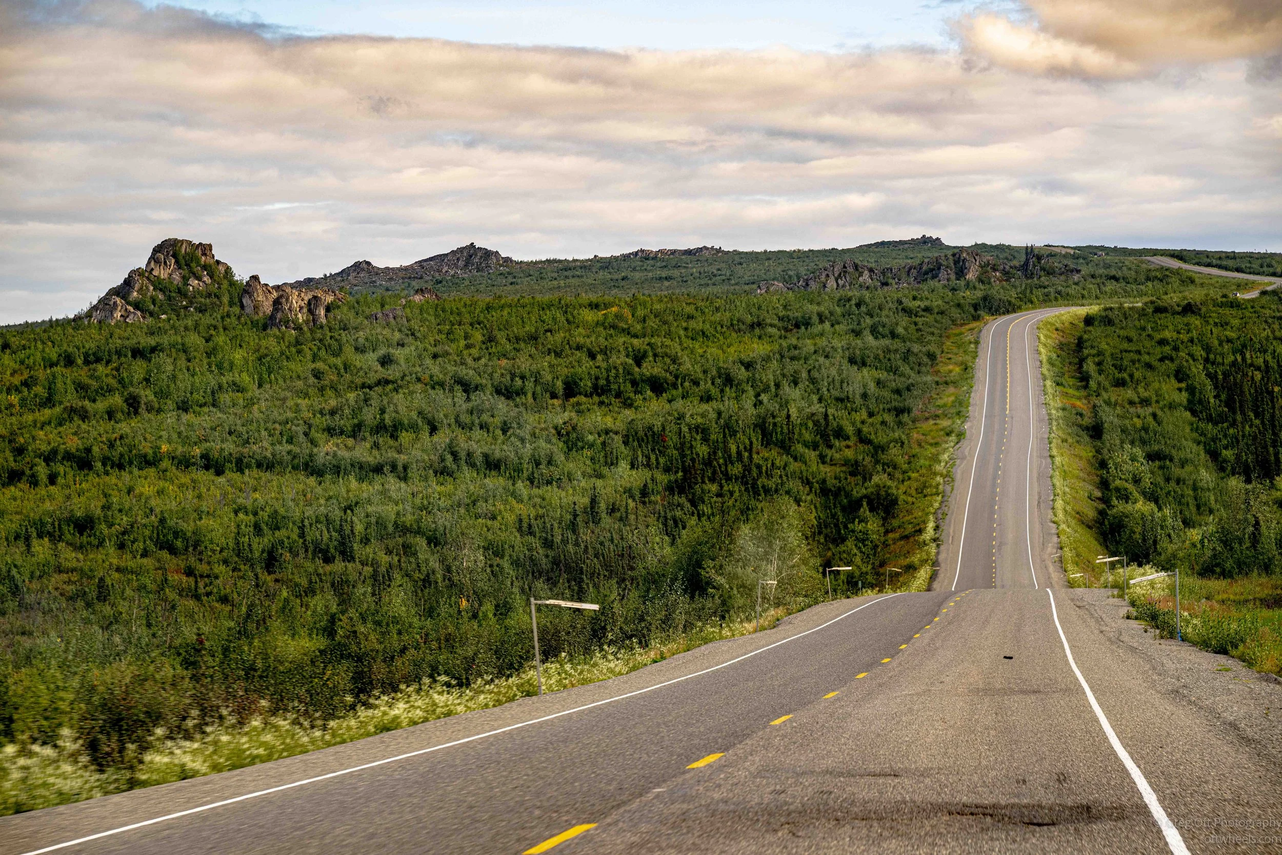
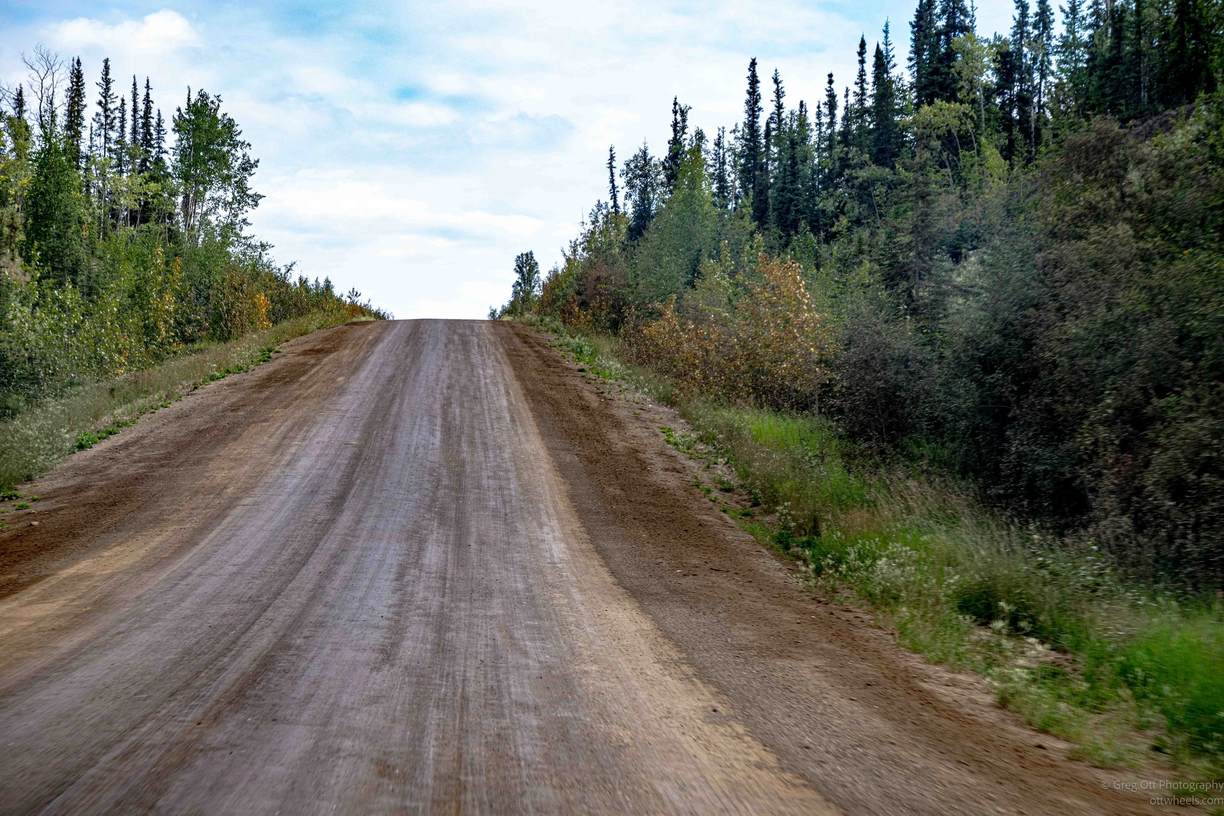
We drove for several more hours. Every so often we’d pull over to let a trucker pass. They could easily do 70 mph on stretches where we were often doing 45 in the van. The road was rough in places, although Will said it was much better this year. Much of it had recently been graded, making the worst sections manageable, but there were still potholes that seemed eight inches deep that we carefully maneuvered around.
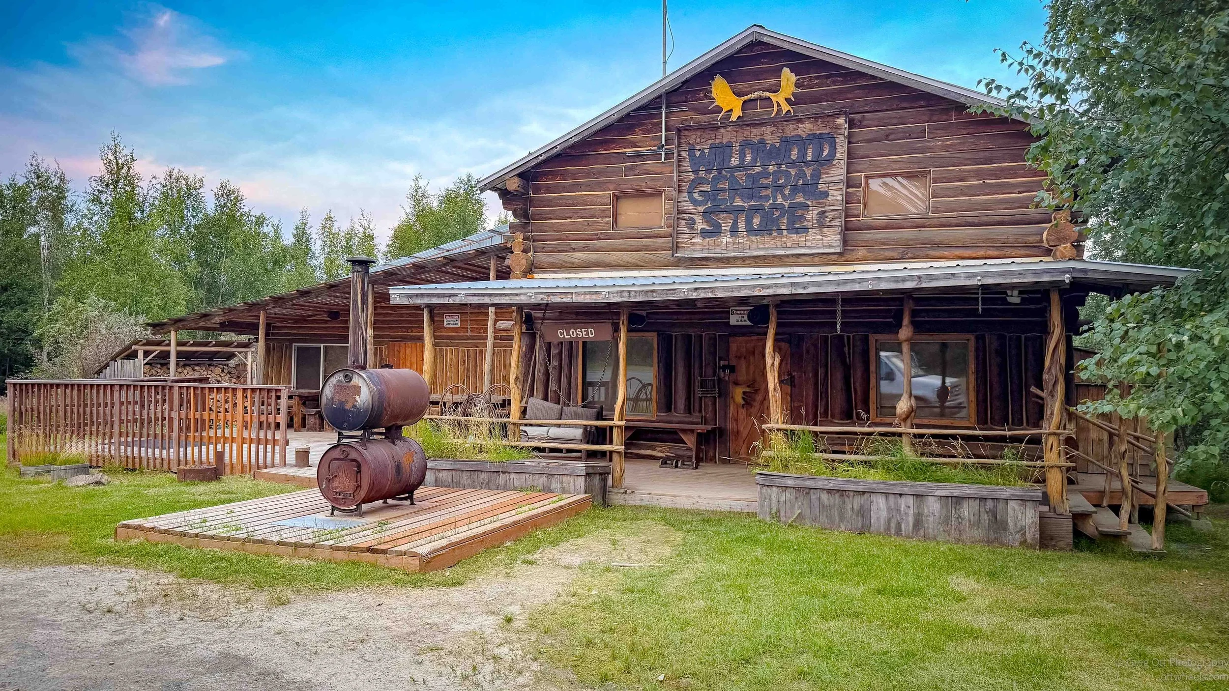
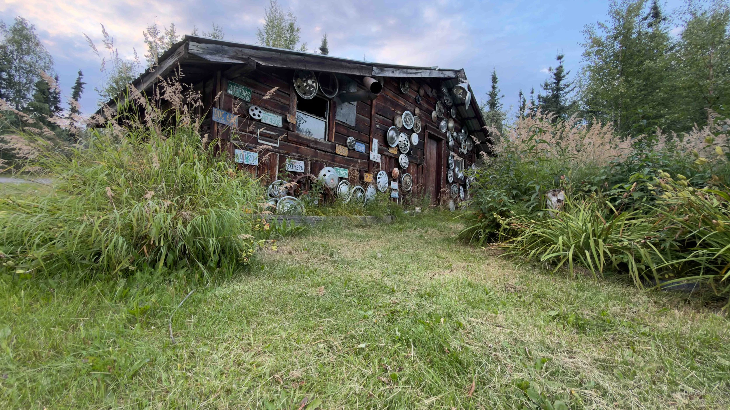
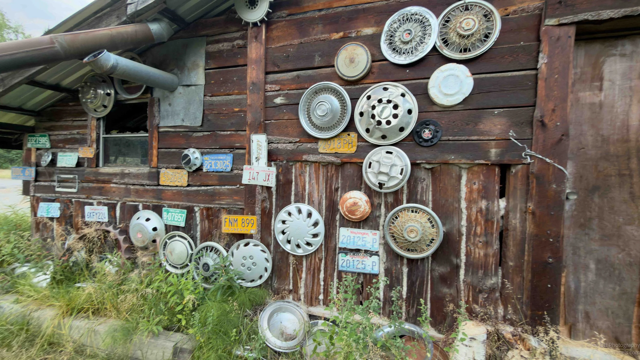
Eventually we came to our final stop, the old Wildwood General Store in Joy, Alaska. Yes, the company owned this too, along with some of the surrounding land. There were two remarkably clean pit toilets, and Will had the keys. We had about 15 minutes to walk around, but the story behind the place turned out to be more interesting than the stop itself.
Joe and Nancy Carlson moved to this remote stretch of the Elliott Highway and raised an enormous family here. They eventually raised 25 children, 20 of them adopted. Their kids started selling lemonade to truckers and pipeline workers passing the homestead, and apparently the truckers stopped. That little lemonade stand eventually grew into the Wildwood General Store, which the Carlsons opened in 1983, selling supplies and even gasoline from cans to people traveling this lonely road.
After decades of raising children and running the place, Joe and Nancy eventually began stepping away from Wildwood. Will told us that their version of retirement was to travel around the country visiting their many children, sometimes staying with them for extended periods before moving on to visit another. With a family that large, I suppose they could travel for quite a while without running out of places to stay. Northern Alaska Tour Company bought the property in 2012, which explained why Will had the keys to the outhouses and why this seemingly random old homestead was one of our stops.
Back in Fairbanks
We made it back to Fairbanks a little after 11 p.m. We dropped the cyclist off at a hotel, while the rest of us continued to the airport. Will dropped me off at long-term parking, and I said goodbye to everyone.
It was a little sad and strange knowing I would probably never see any of them again. After traveling so many miles together, sharing meals and talking about everything from Alaska to our lives back home, you begin to form a bond. We had started the trip as strangers, but after 18 hours together, it felt different saying goodbye. The Dalton Highway had certainly been an adventure I wouldn’t soon forget.
I found the van exactly where I’d left it. It was late, the parking lot was quiet and I didn’t hear a single plane. Everything in the van was still running, and I had plenty of electrical capacity. Relieved, I crawled into bed and was asleep within minutes.