TOK, AK
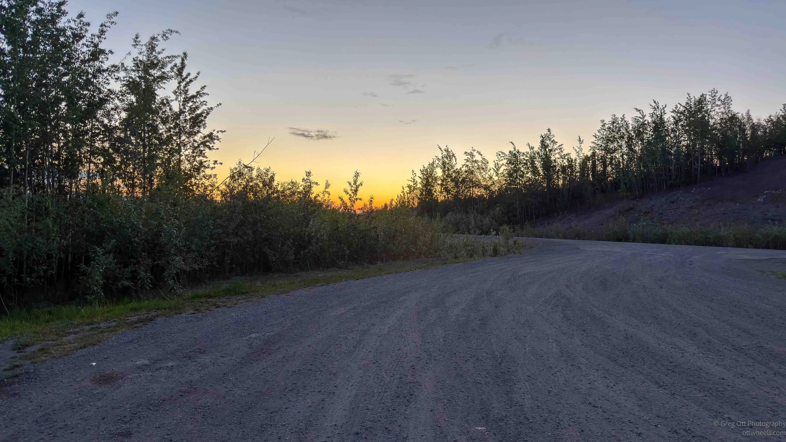
I stayed at a roadside stop about ten miles from the Alaska–Canada border. Sleep was hit or miss. Mosquitoes kept finding their way into the van, and once you hear that faint buzzing sound, it's impossible to ignore. I woke up sometime around 1 a.m. and looked out the window. I was surprised by how bright it still was. The northern sky had a yellow glow to it, as if the sun was about to rise instead of having barely set.
The mosquitoes in Alaska seem more clever than the ones farther south, if mosquitoes can ever be called clever. When you turn on a light, they don't come looking for you. They hide. They wait. You leave the light on for a few minutes, hoping to spot them, and eventually give up and turn it off. Then, almost immediately, you hear that familiar buzzing sound. Or maybe you don't. Once you've heard it, it somehow stays lodged in your ears and your brain.
Eventually I rolled out of bed around 9 a.m. I wasn't particularly hungry, so I climbed into the driver's seat and headed toward the border. Another rabbit was sitting at the entrance to the rest stop. The rabbits up here seem to have a habit of hanging out in places that don't appear especially safe. The border was relatively close, but it would be another 40 minutes before I reached customs.
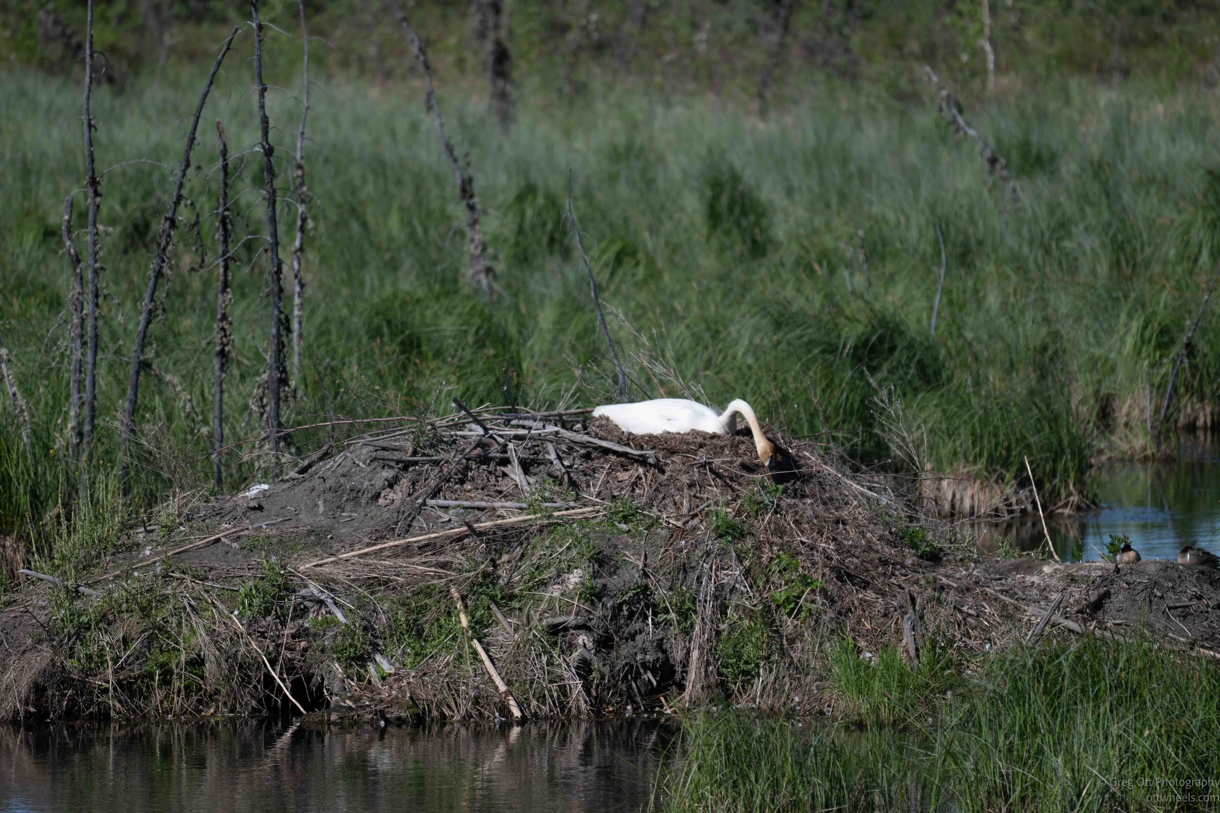
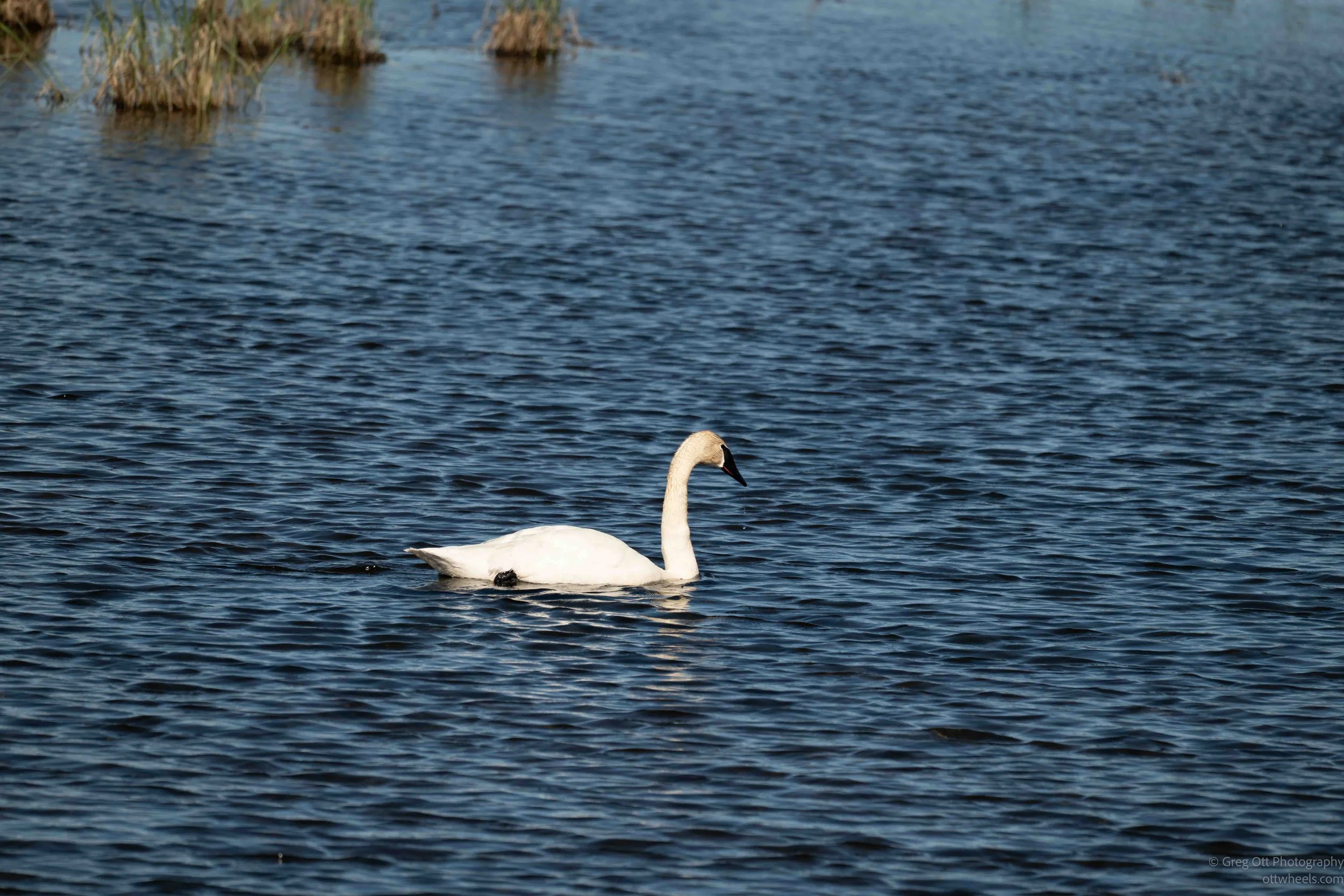
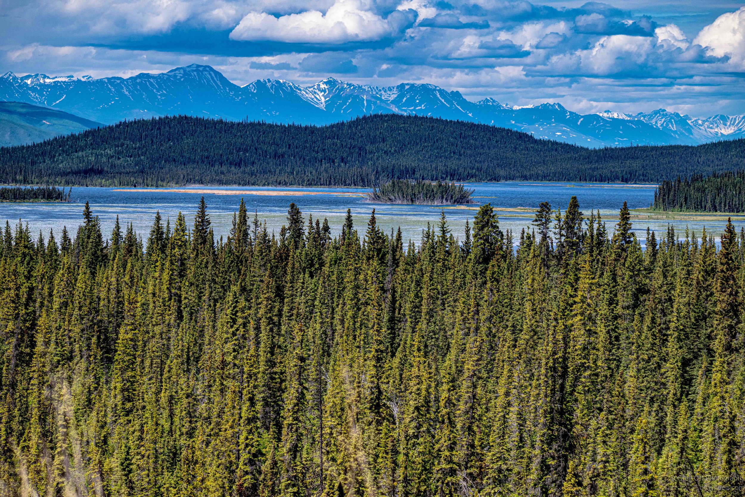
I pulled over and spent a few minutes watching two geese in a pond. Another camper pulled over to take photographs. I thought the birds might be taking turns sitting on a nest, but eventually one wandered off into the water to feed on aquatic plants while the other remained nearby. There wasn't much excitement, but after days of driving, it was a nice excuse to slow down and watch something besides the highway.
Thermosyphons
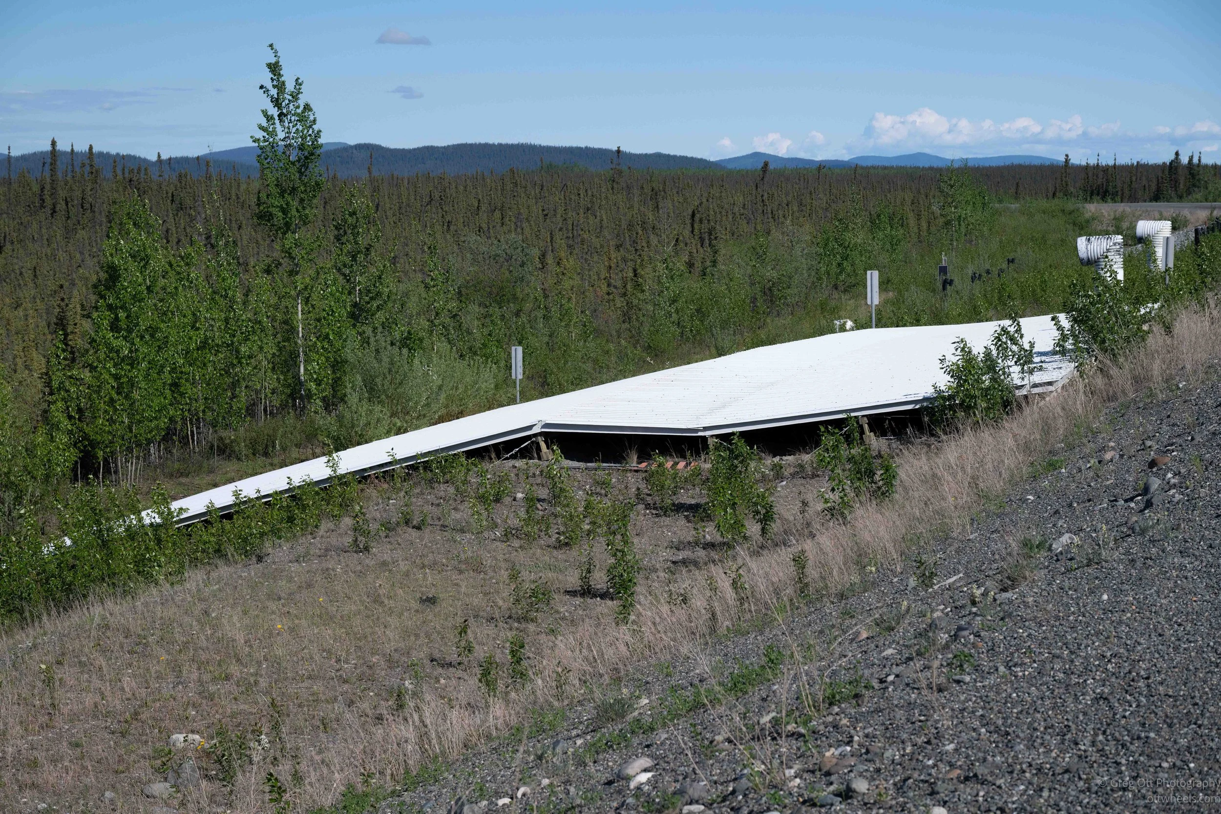
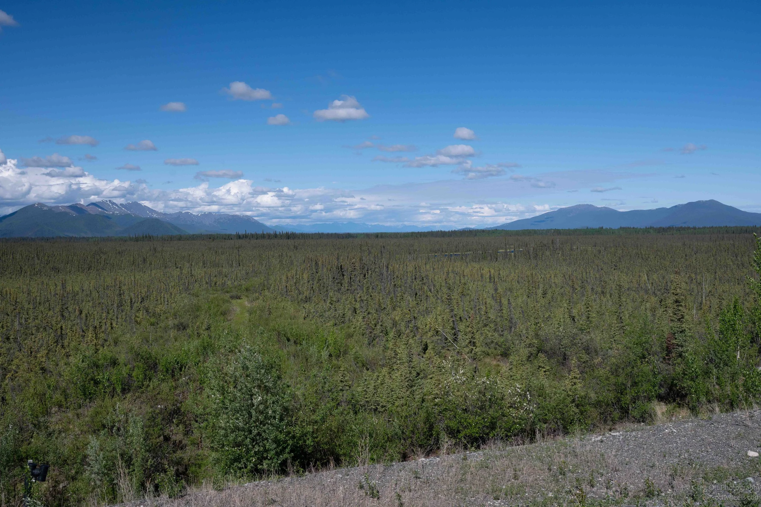
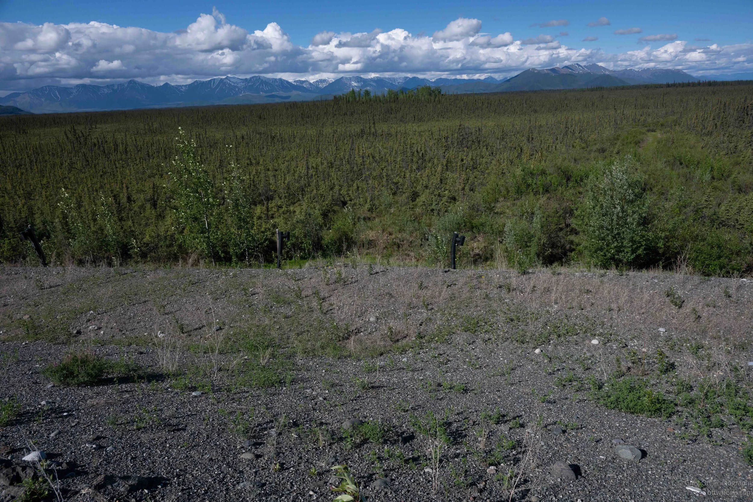
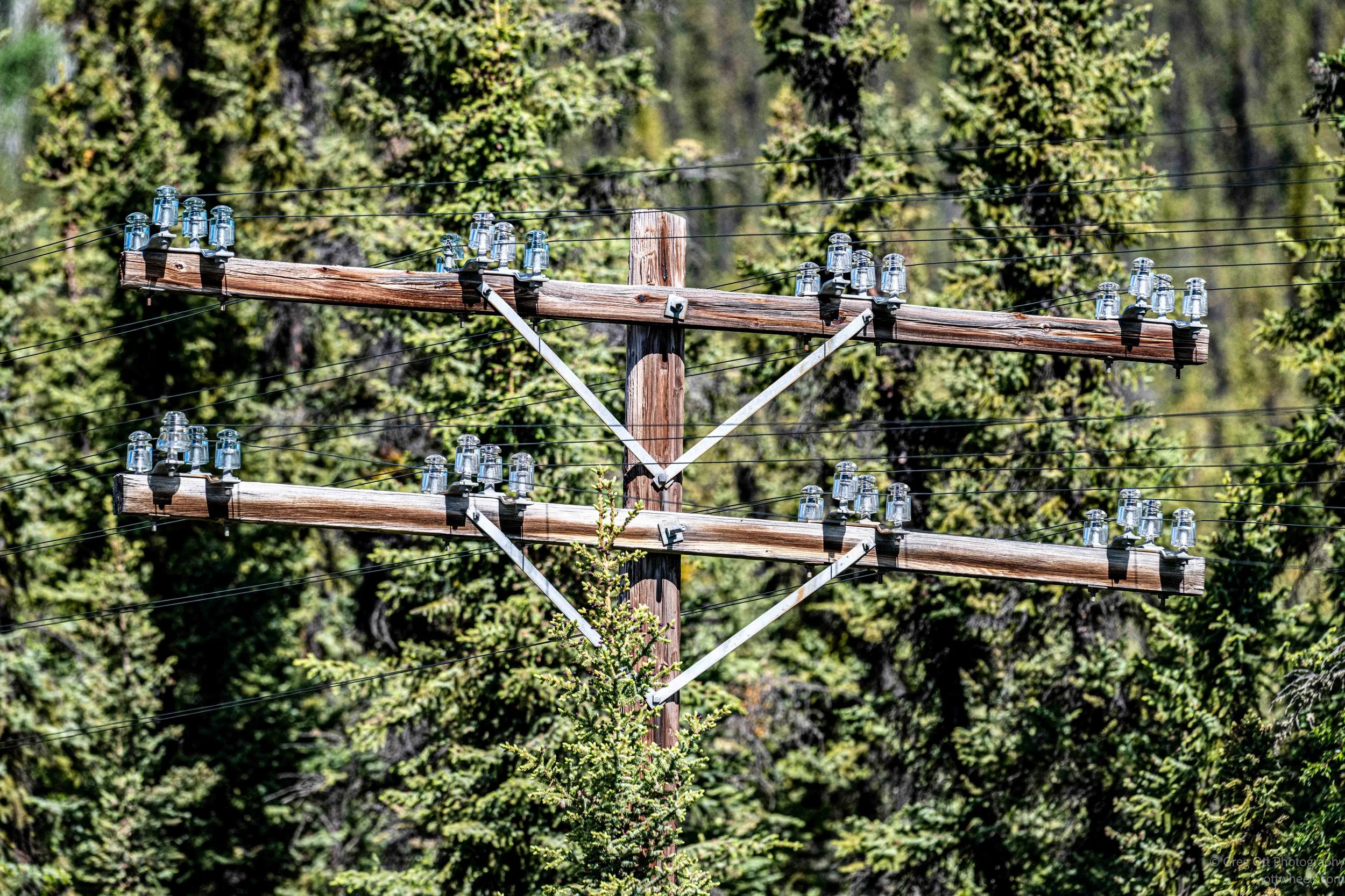
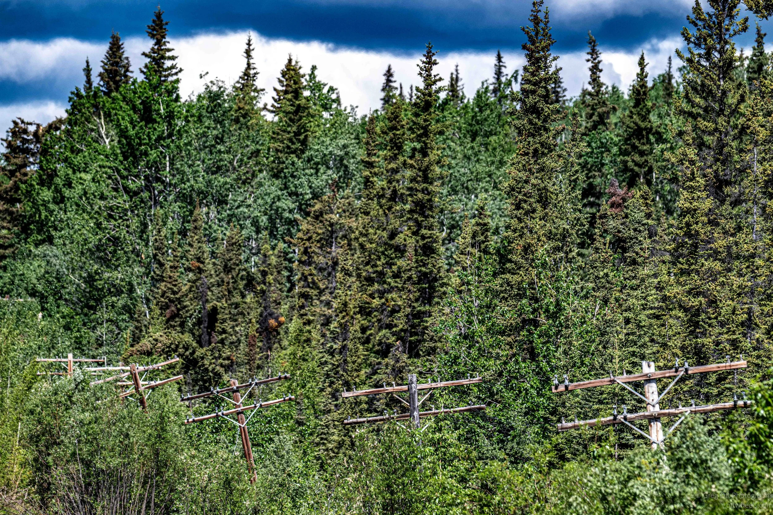
As I've been driving through the Yukon and Alaska, I've periodically come across structures along short sections of highway that I couldn't explain. Some look like strange buildings sloping away from the side of the road. Others consist of rows of tall white pipes lining the highway, sometimes dozens of them, often varying in height. They seem completely out of place in the middle of the wilderness.
One example near the Alaska border caught my attention. There was a large sloped structure built into the road embankment with white pipes extending for hundreds of feet on either side. My first thought was that it might be some kind of wildlife crossing or drainage system. After asking a lot of questions online, I learned about thermosyphons.
Much of the Yukon and Alaska is built on permafrost—ground that has remained frozen for thousands of years. When that frozen ground thaws, the ice in the soil melts and the surface can settle, shift, and collapse. That's obviously a problem when you're trying to keep a highway level and safe.
Thermosyphons are passive cooling devices designed to keep the ground frozen. During the winter, they pull heat from the soil and release it into the colder air above. They require no electricity or pumps. In some places, engineers also build special embankments and ventilation structures to help keep the ground cool beneath the roadway.
It was one of those things I had never thought about before this trip. In most places, roads are built on dirt and rock and that's the end of the story. Up here, maintaining a highway means fighting physics and climate year-round just to keep the ground underneath from melting. Suddenly a lot of the oversized road embankments and strange roadside structures I'd been seeing started to make sense.
The final miles to the border were all about avoiding potholes, rocks, and deep dips in the road. Traffic was almost nonexistent. At 10 a.m. I could go several minutes without seeing another vehicle.
A Catholic Church
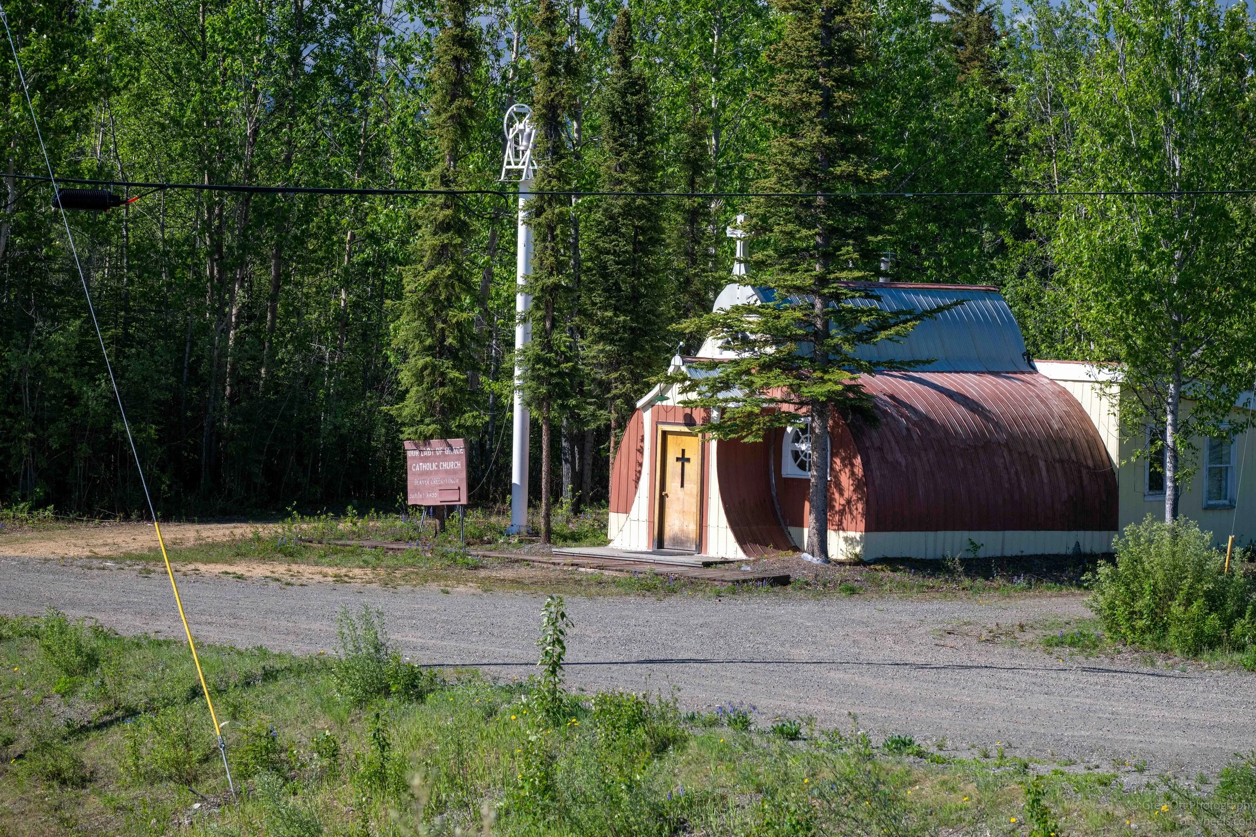
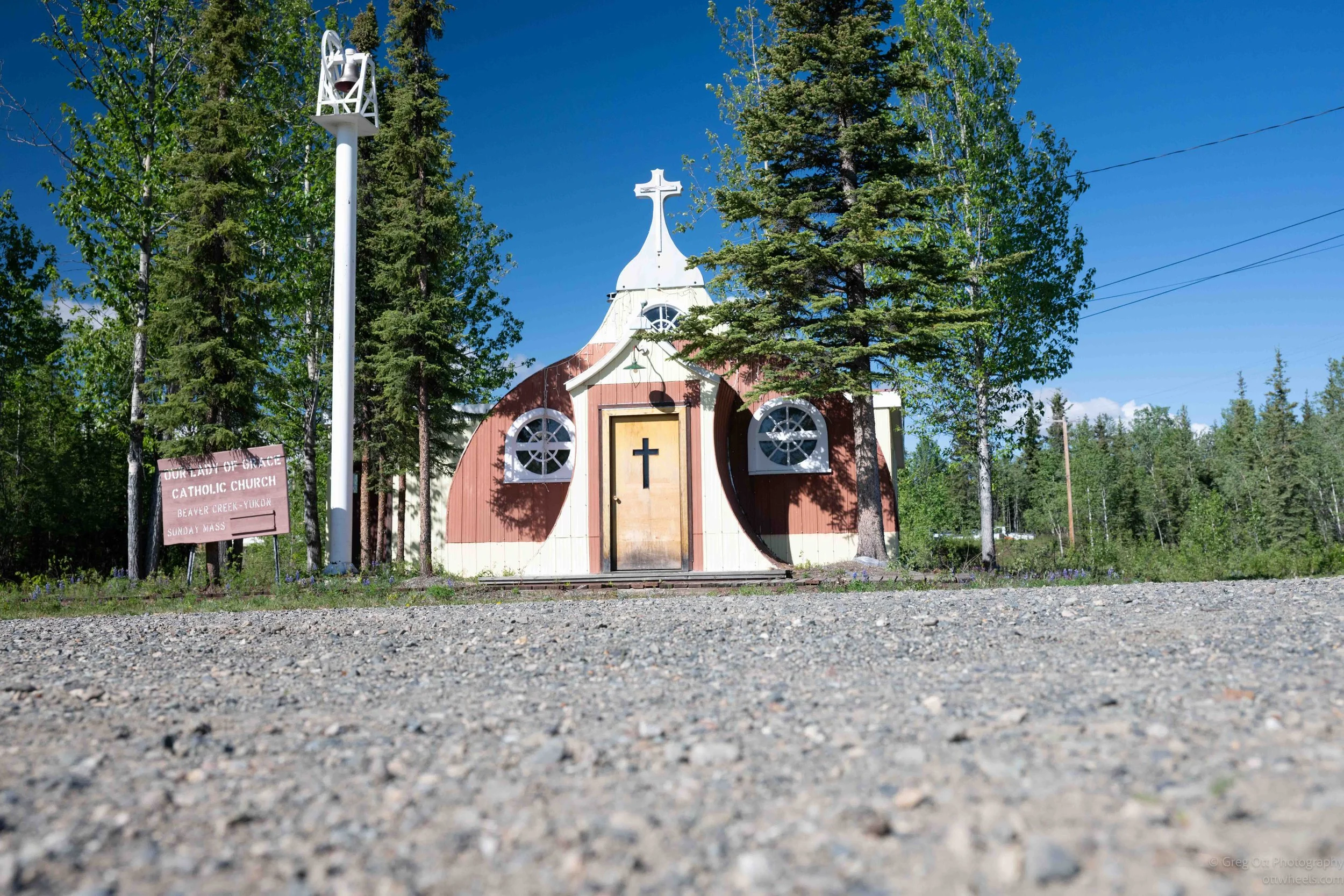
Just before the U.S. border crossing, I noticed a small Catholic church (Our Lady of Grace at Beaver Creek, YT), that appeared to be a converted Quonset hut. It serves the local Indigenous community and stood out because of its simple, practical design. Throughout the Yukon, I had also noticed many road signs and public displays that included Indigenous languages alongside English.
Canada has its own difficult history when it comes to Indigenous peoples. One of the most painful chapters involved the residential school system, where Indigenous children were separated from their families and communities in an effort to assimilate them into mainstream Canadian society. Many of those schools were operated by Christian denominations, including the Catholic Church. In recent years, the discovery of unmarked graves and burial sites associated with former residential schools brought renewed attention to that history.
At the same time, Indigenous culture seemed far more visible throughout the Yukon than I expected. Indigenous place names, languages, artwork, and cultural references were woven into everyday life. While the past cannot be changed, there appears to be a conscious effort to preserve and celebrate those cultures rather than allow them to disappear.
Throughout the Yukon and eastern Alaska I noticed more and more signs that included Indigenous languages alongside English. This wasn't limited to visitor centers or historical displays. Even ordinary road signs often carried traditional names. One example was Ptarmigan Road, where the English name appeared alongside names in two local Indigenous languages. It was another reminder that despite a difficult history, there is a real effort throughout the North to preserve and celebrate Indigenous languages and culture.

US Border Crossing
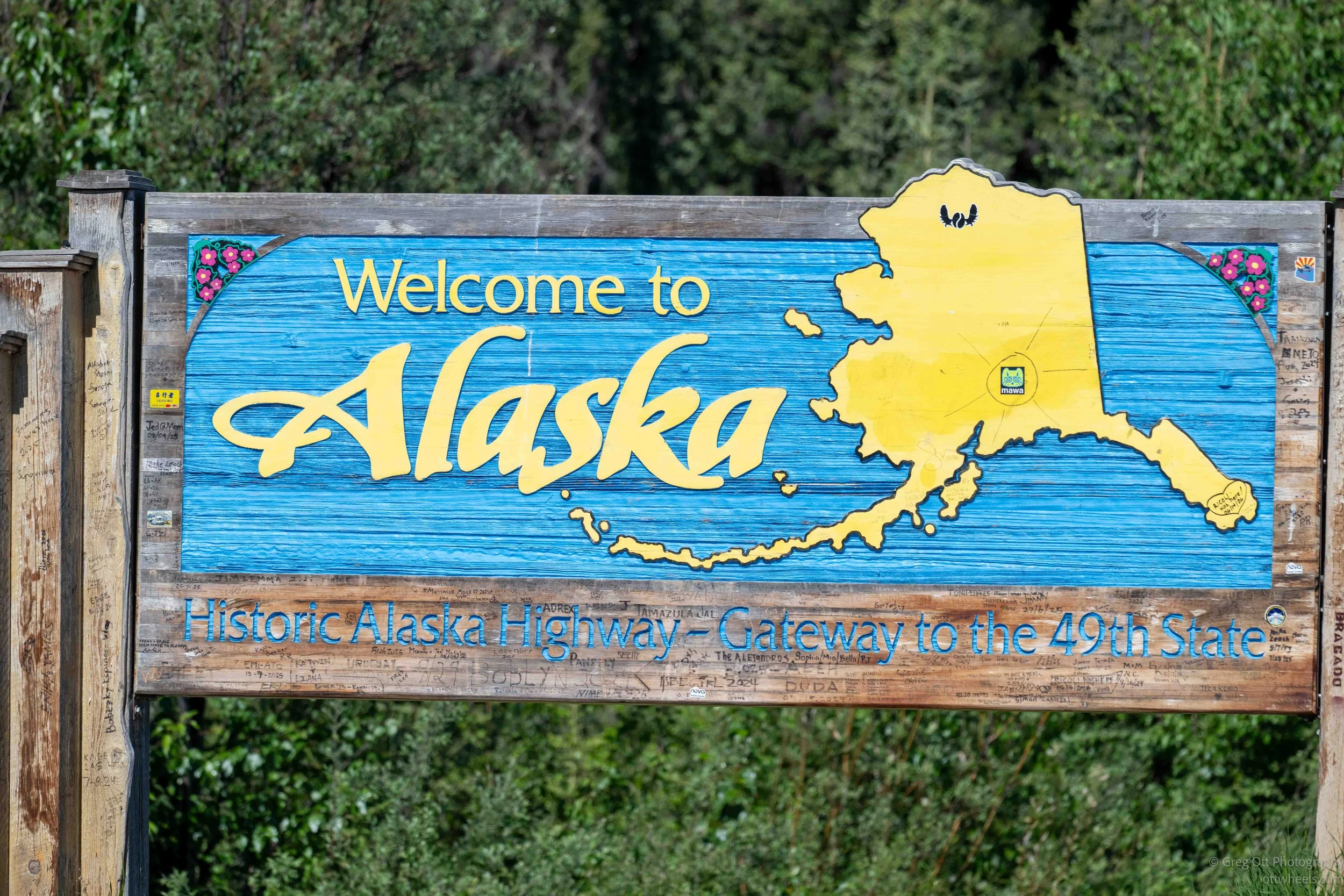
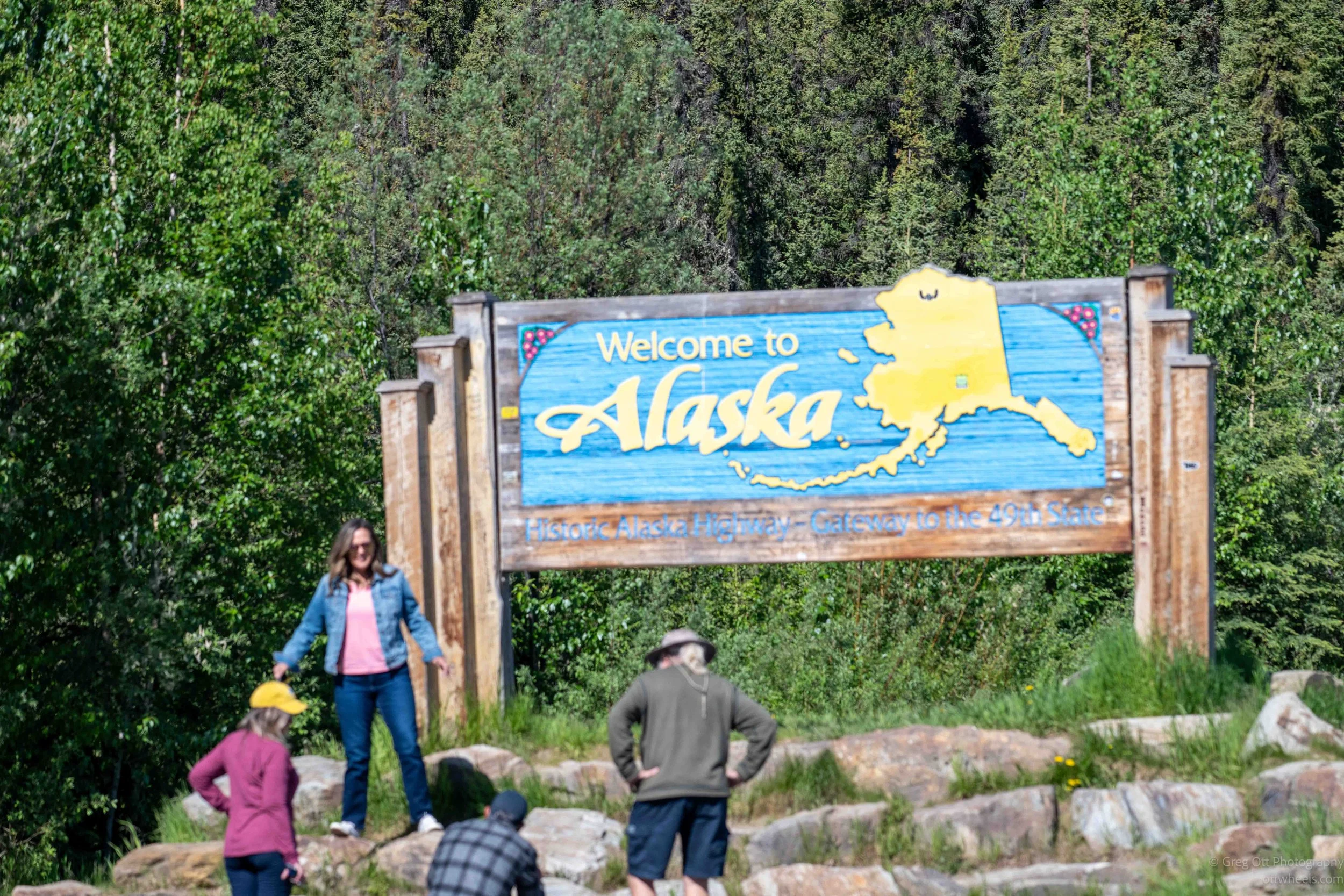
I saw a sign for alaska and pulled out my long lens to grab a photo. Others were getting there photos taken with the sign. It was also a rest stop.
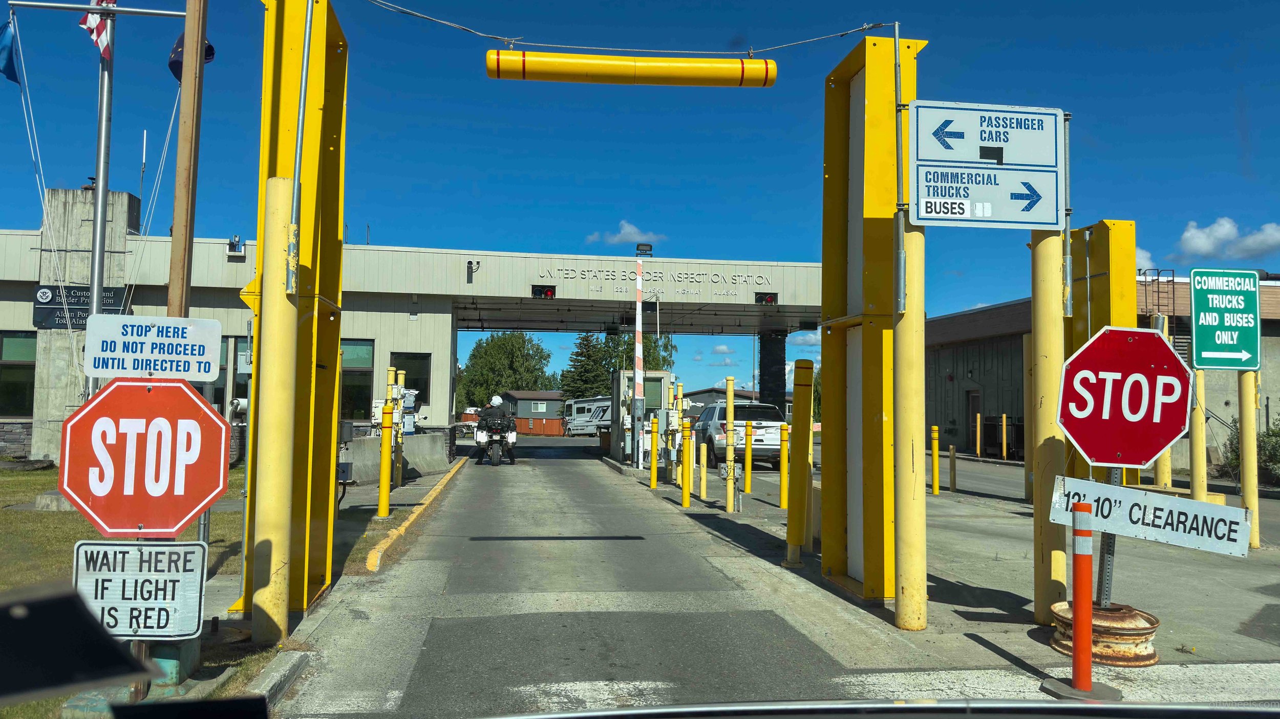
The U.S. Customs crossing was quick. There was a motorcycle ahead of me, and beyond that I could see officers inspecting a large boat being towed through the checkpoint. I was hoping they didn't decide to take a closer look at my van.
A few minutes later it was my turn. The officer asked where I had been, whether I had anything to declare, and then we chatted briefly about travel. He handed back my passport and waved me through. Other than crossing internal borders in Europe, it was one of the fastest border crossings I've experienced.
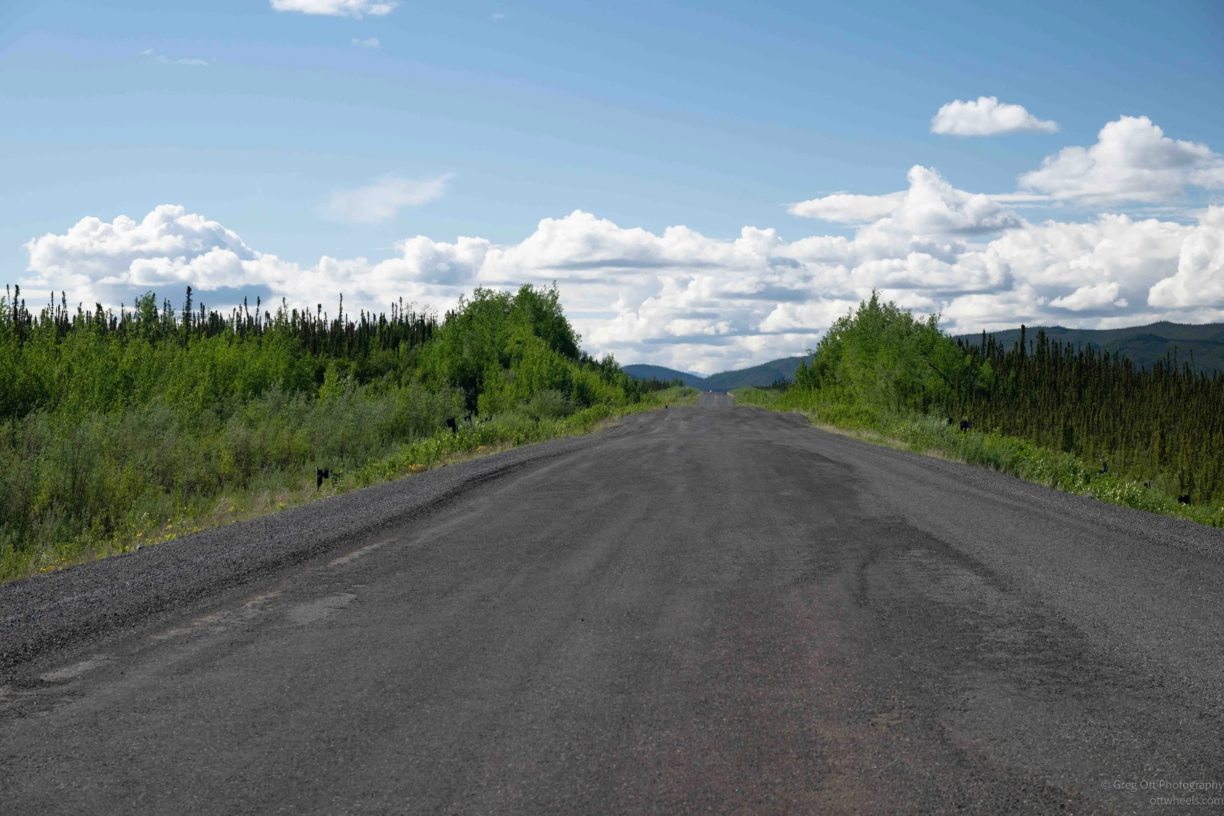
One thing became obvious immediately. The highway on the Alaska side was dramatically better than the final couple hundred miles of the Alaska Highway in Canada. In fact, it looked almost brand new for the next thirty miles. I'm guessing much of it had been rebuilt recently.
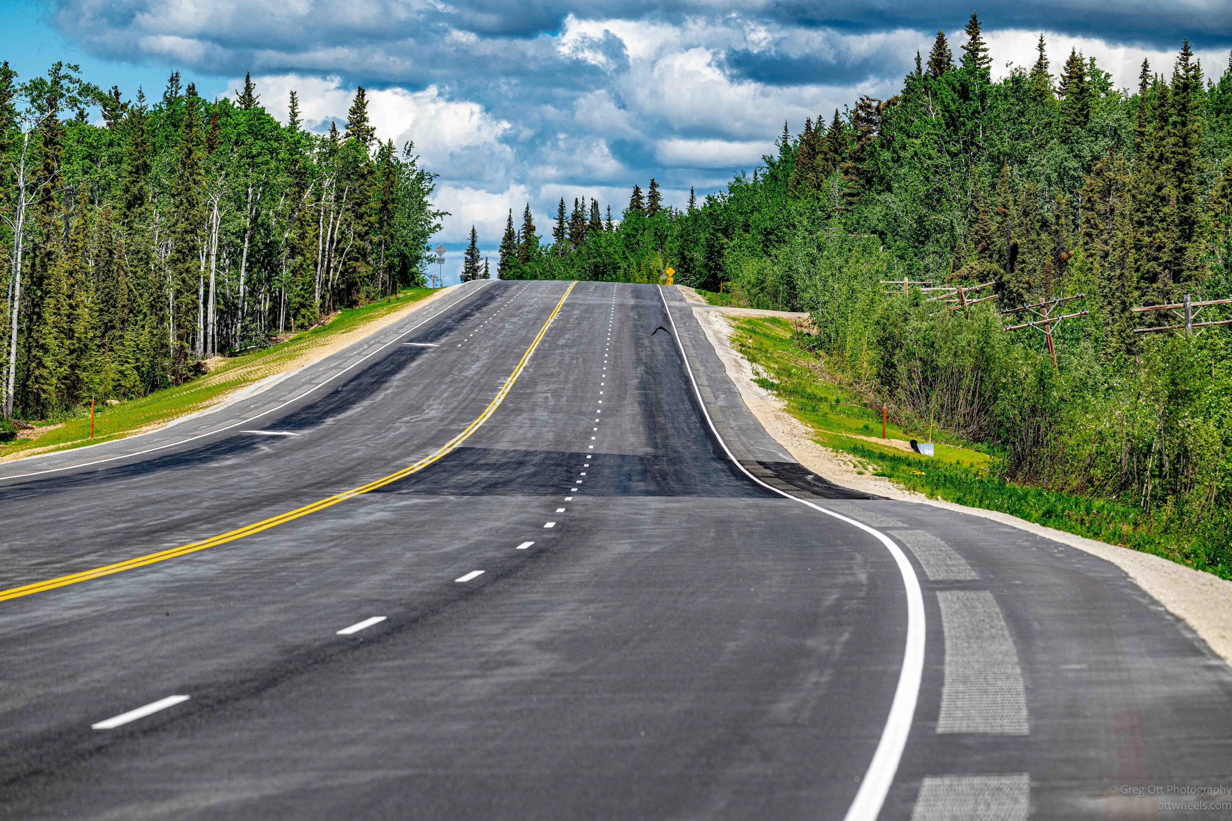
That didn't stop Mother Nature. In a couple of places the pavement had already sunk and separated where the ground underneath had shifted. Now that I’ve learned about thermosyphons, I have a much better appreciation of what highway crews are up against up here.
Freshly planted grass was beginning to emerge along the shoulders of the road. Small maintenance crews were cleaning debris from the roadside. And for miles there were wildflowers. Lots of them. It reminded me of Lady Bird Johnson's highway beautification efforts in Texas. Naturally, I had to stop and take photographs.

Tok, Alaska
My destination was Tok, Alaska. With a population of only a little over 1,000 people, it isn't a large town, but almost everyone driving into Alaska from the lower forty-eight passes through it. The town became an important logistical hub during construction of the Alaska Highway in 1942 and remains a crossroads for travelers heading toward Fairbanks, Anchorage, Valdez, or Wrangell–St. Elias.
There are several theories about how Tok got its name. One popular story claims it was shortened from "Tokyo" during World War II, though historians generally consider that unlikely. Another explanation is that it originated from a local Indigenous word. Whatever the source, the name stuck.
I stopped at the visitor center, which was quiet that morning. I spent a few minutes in the natural history and Tok history section in the back. One of the staff members recommended Eagle Trail State Recreation Site about thirteen miles south of town and said it offered some of the better hiking opportunities and views in the immediate area.
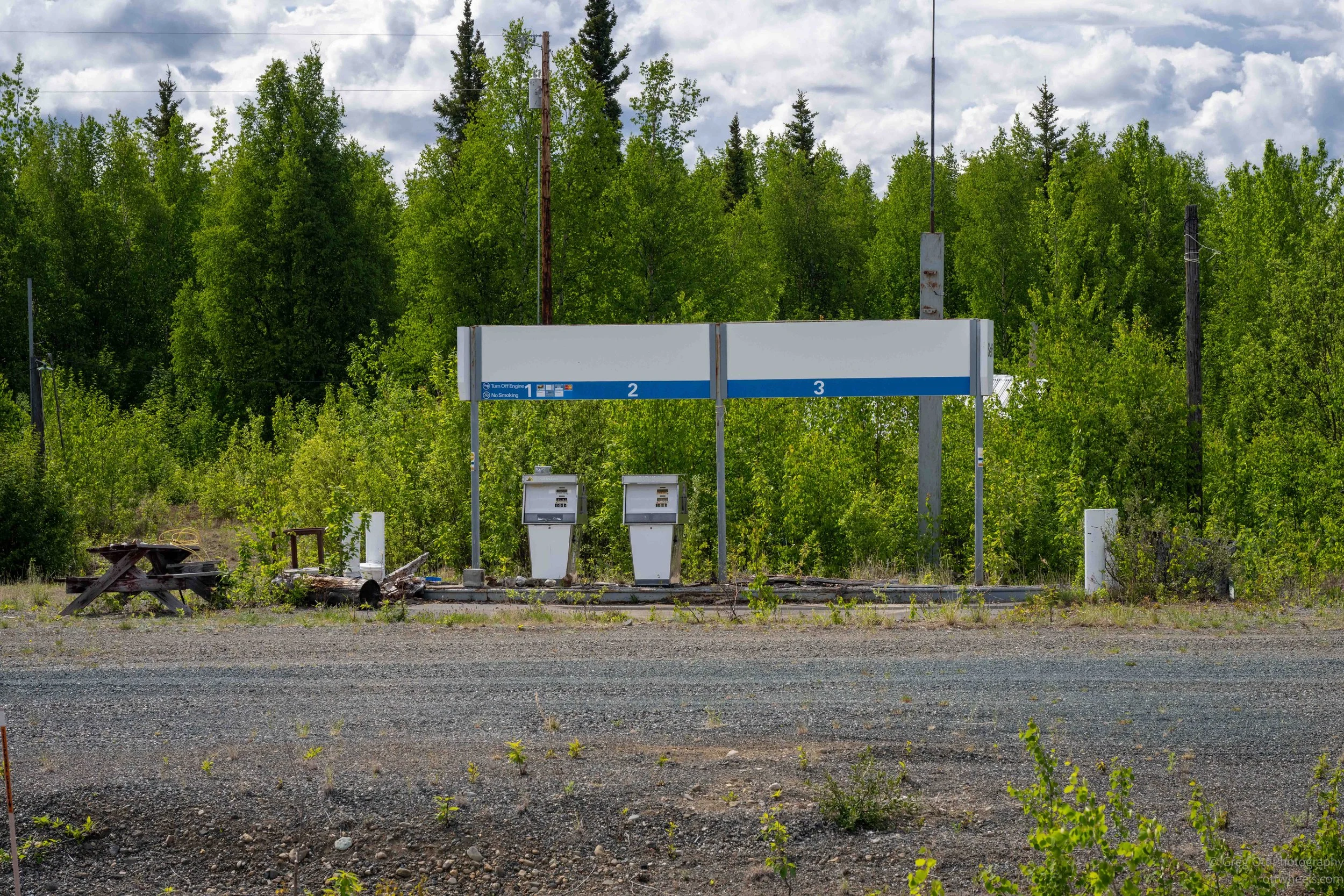
From there I stopped for fuel at the Shell station, which had a hunting supply store attached. Then I headed to Three Bears Grocery to restock supplies. Groceries are a lot like fuel in Alaska—you buy them when you have the opportunity.
I was pleasantly surprised by the store. The selection was excellent, and they even carried a number of Kirkland products from Costco. Outside, rows of RVs and campers filled the parking lot. The attached liquor store also carried several Kirkland wines, which was not something I expected to find in Tok.
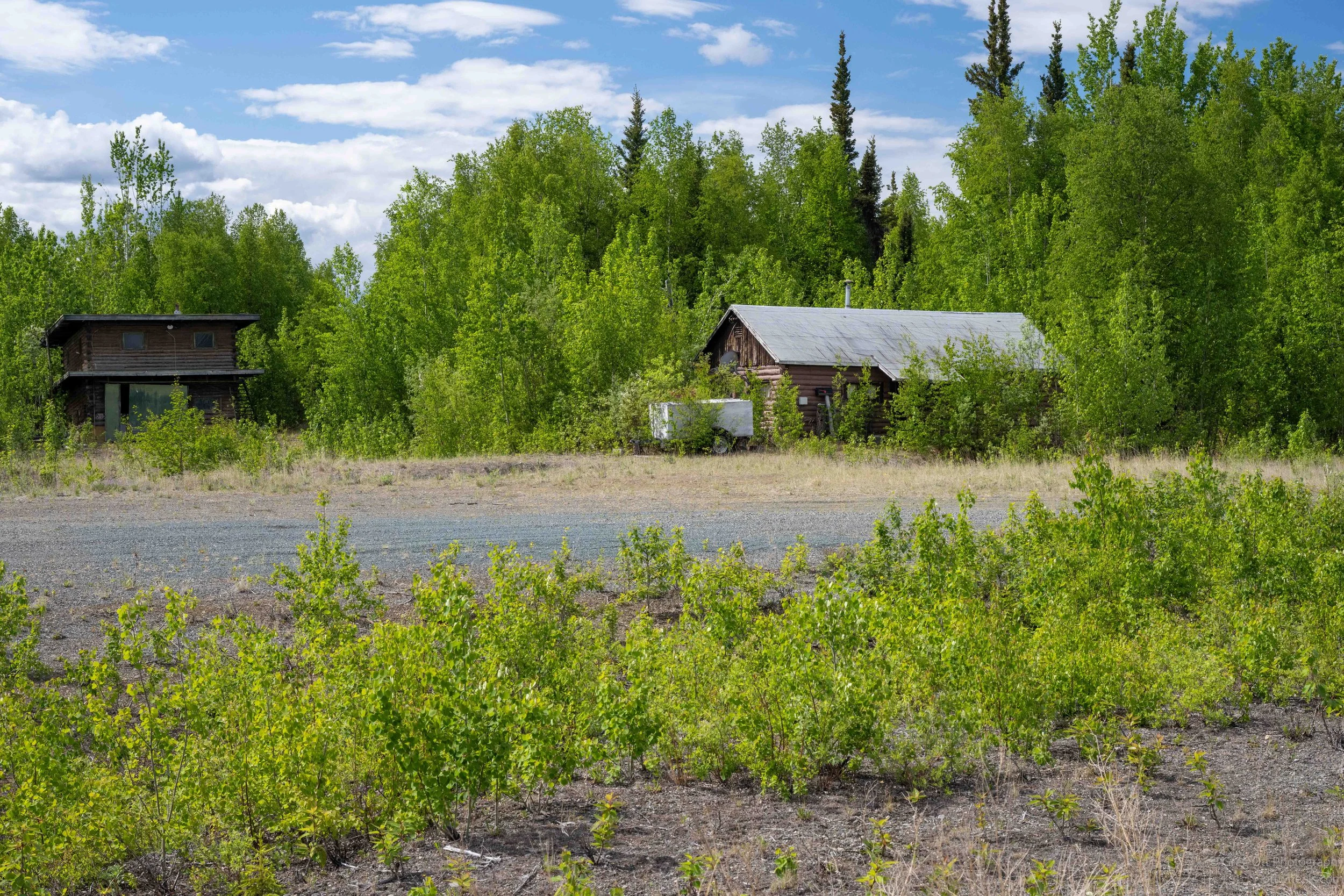
After shopping, I drove south to Eagle Trail State Recreation Site. Along the way I passed a surprising number of abandoned or closed businesses. It felt like if you weren't located directly in Tok, survival as a small business became much harder.
At the campground I drove around for a while looking for a site where Starlink would work. There was only one other camper in the park. I filled out the self-registration envelope, dropped eighteen dollars into the payment box, parked, and started dinner.
I had read that most travelers allow three days to get from Whitehorse to Glennallen and the Wrangell Mountains. This next section is Block 3 of my Alaska itinerary. I'm planning to stop in Slana along the way, so it may take me a little longer. At this point, though, I'm in no hurry. The farther north I travel, the more I find myself stopping for things I never planned to see.