Multnomah Falls & Hood River, OR
I woke up again in Longview, WA, and for once the street had been genuinely quiet. Slept well. That alone felt like a win. I drove the mile or so to Starbucks, grabbed a seat, and spent a couple of hours catching up on the travel log and mapping out the day. Somewhere between the coffee and the planning, though, I noticed I was dragging. Low energy, a little apprehensive about getting on a trail. Some mornings on a trip like this just start that way — there's no explaining it.
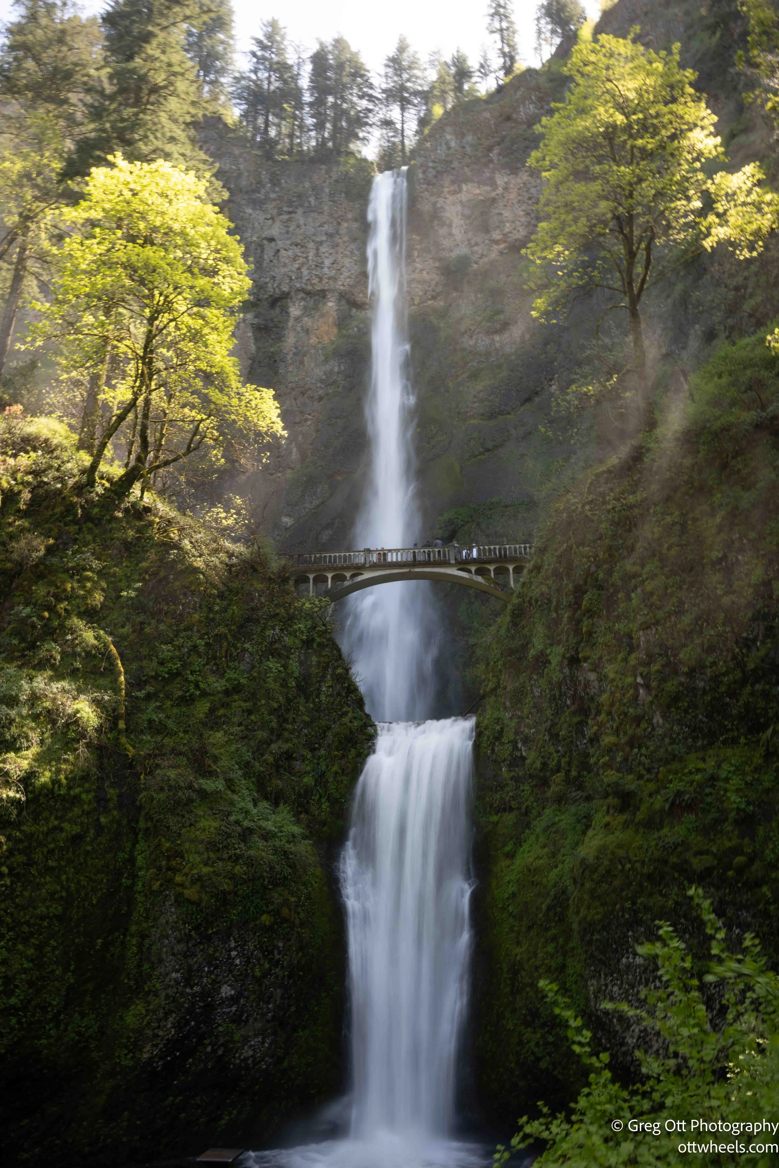
Multnomah Falls
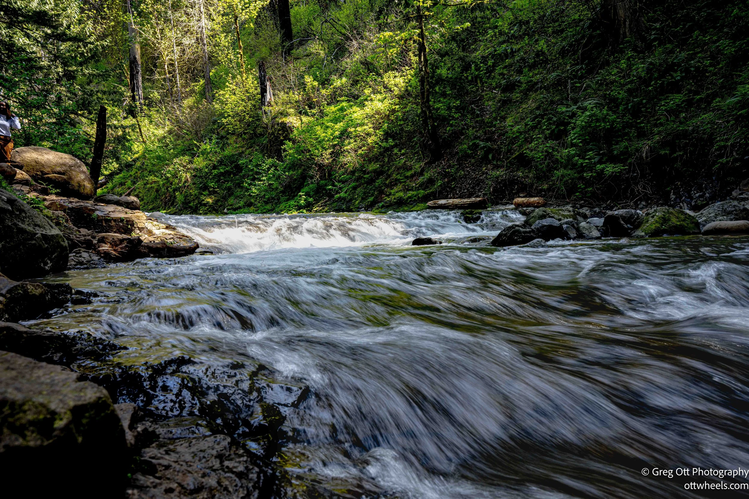
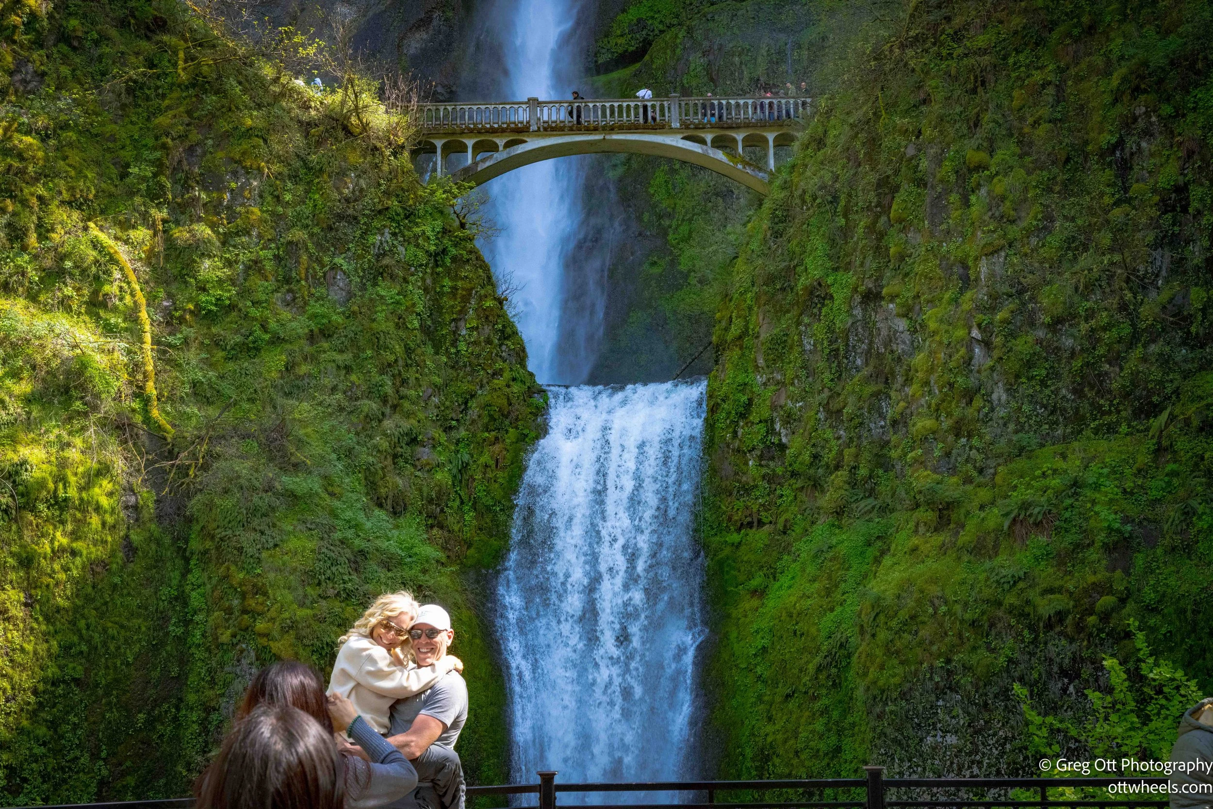
Multnomah Falls is one of those places that lands on every Pacific Northwest bucket list, and for good reason — it's genuinely stunning. It's also genuinely popular, which means if you're expecting a quiet moment alone with a 600-foot waterfall, you might want to recalibrate. I knew going in it was going to be crowded, and it was.
The falls are right off I-84, about an hour from Longview with a pass through Portland. I pulled in a little after noon and the parking lot was already packed. Getting a van into a regular spot felt like a puzzle with no clean solution, so after circling around I found a spot at the far end marked for RVs. That worked. From there it's a short walk along a path to the trailhead.
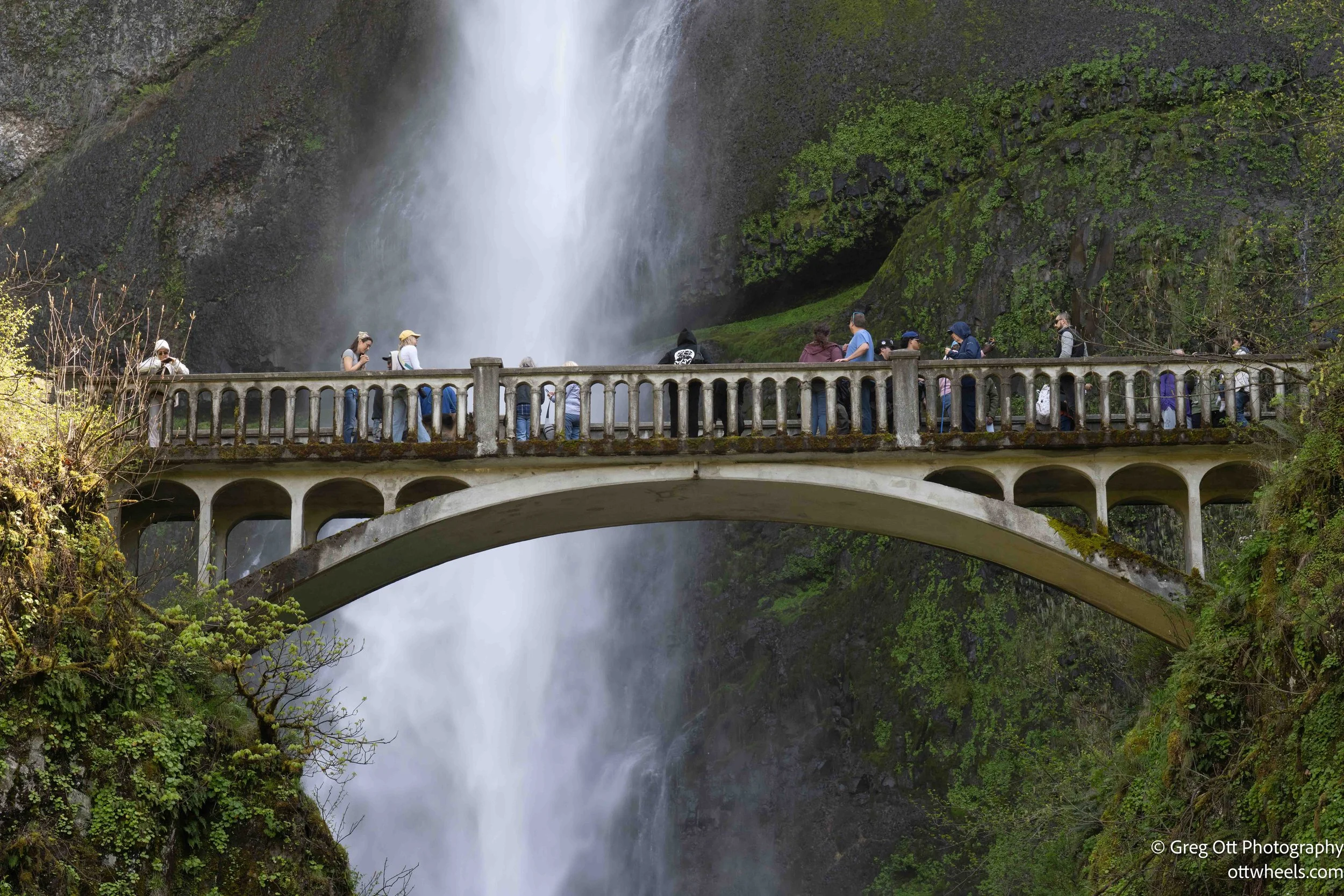
AllTrails showed two options: a 5.2-mile route rated hard, and a 2.4-mile moderate. I went with the moderate. Honest assessment — it earned that rating. It's not casual. Most of the climb is steep, with 11 marked switchbacks winding up the hillside through dense forest. A lot of people stop at the bridge in front of the lower falls, snap their photo, and call it done. That's a perfectly reasonable choice. But if you go to switchback four and feel like you're almost there, let me save you the disappointment: you're not. Someone on the trail cheerfully reminded me of that when I was quietly convinced we were getting close. I pulled up AllTrails. She was right.
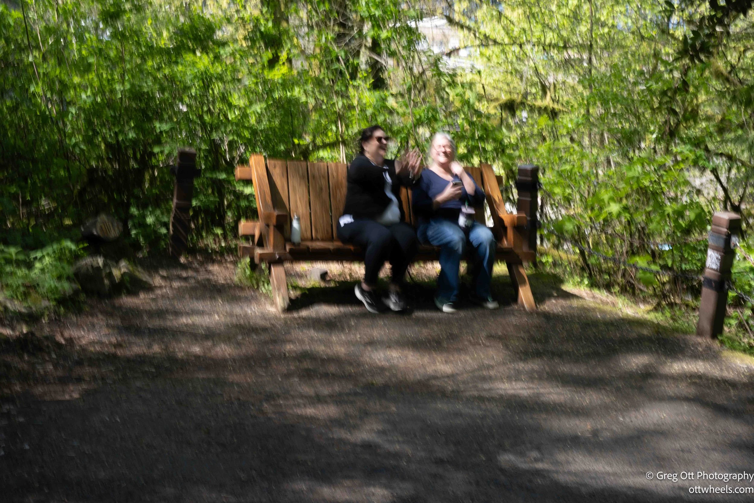
Along the way I fell into pace with two women — Jennifer and Lori — who were doing what I've come to think of as yo-yo hiking: burst of speed, stop, breathe hard, recover, repeat. I've been there. When I caught up to them at a stopping point, I mentioned that slowing down and finding a steady rhythm usually works better than pushing and resting. I also told them about resonant breathing — inhale for a count of four, exhale for six. It sounds almost too simple, but that extended exhale has a way of activating the parasympathetic nervous system, which dials down the anxiety your body starts throwing at you when your heart rate spikes on a steep grade. They seemed open to it. I told them they were going to make it, and I meant it.
Lori had just flown in from LA and was still finding her legs — both literally and elevation-wise. Jennifer was keeping pace beside her. The trees on the way up blocked most of the wider views, which was a little disappointing from a photography standpoint, but it kept the trail shaded at least.
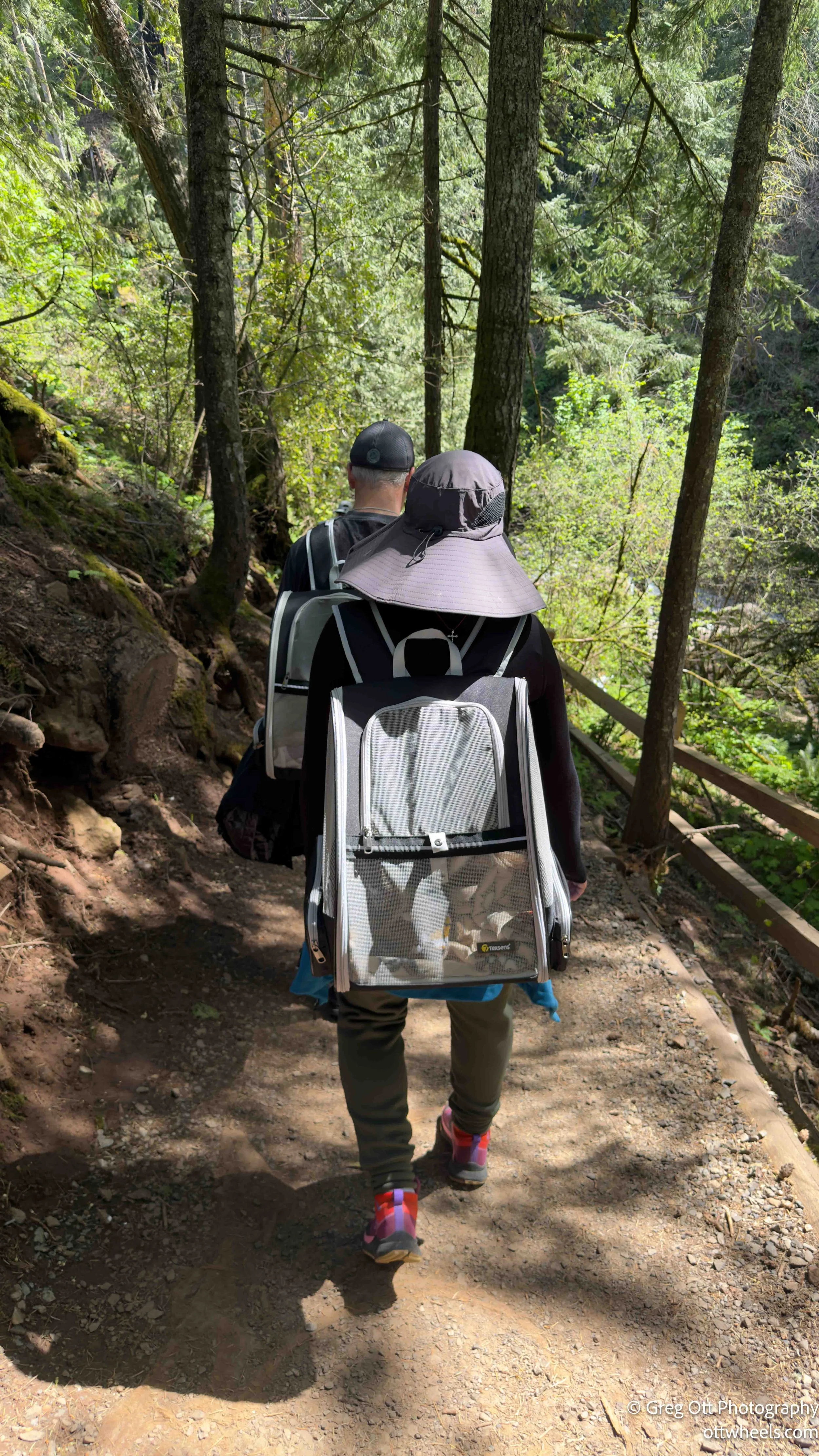
At the top, the trail splits — one direction continues up, and the other leads out to a viewpoint overlooking the Columbia River. AllTrails had me heading toward the river viewpoint. Up there I crossed paths with a couple who had two small dogs tucked into backpack carriers. Both dogs were completely unfazed — just laying there, heads resting, watching the world go by like it was the most normal thing imaginable. It reminded me of a woman I'd seen back in Indianapolis who was walking her parrot in a similar setup. The difference was the parrot had opinions about the whole experience and was not keeping them to himself.
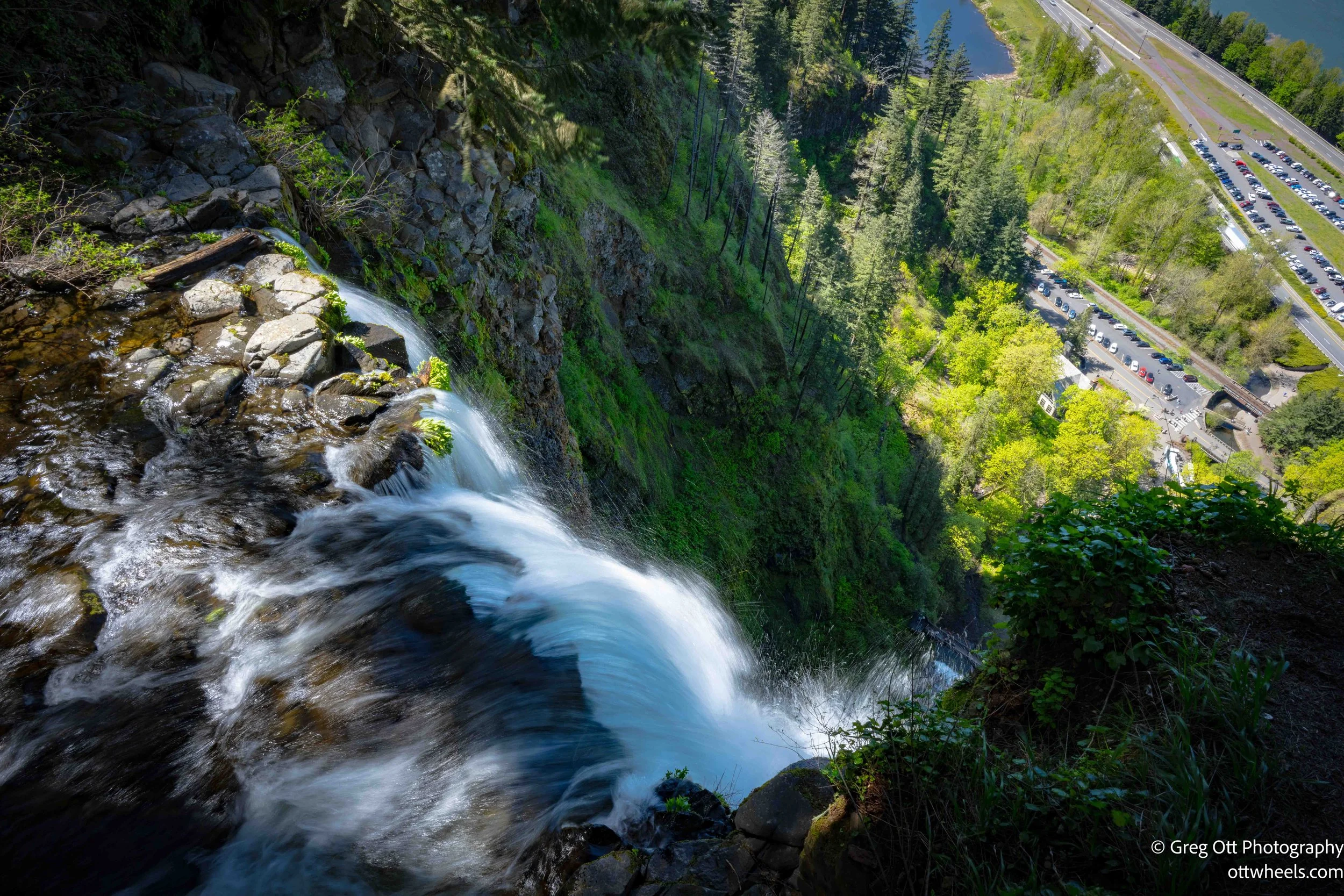

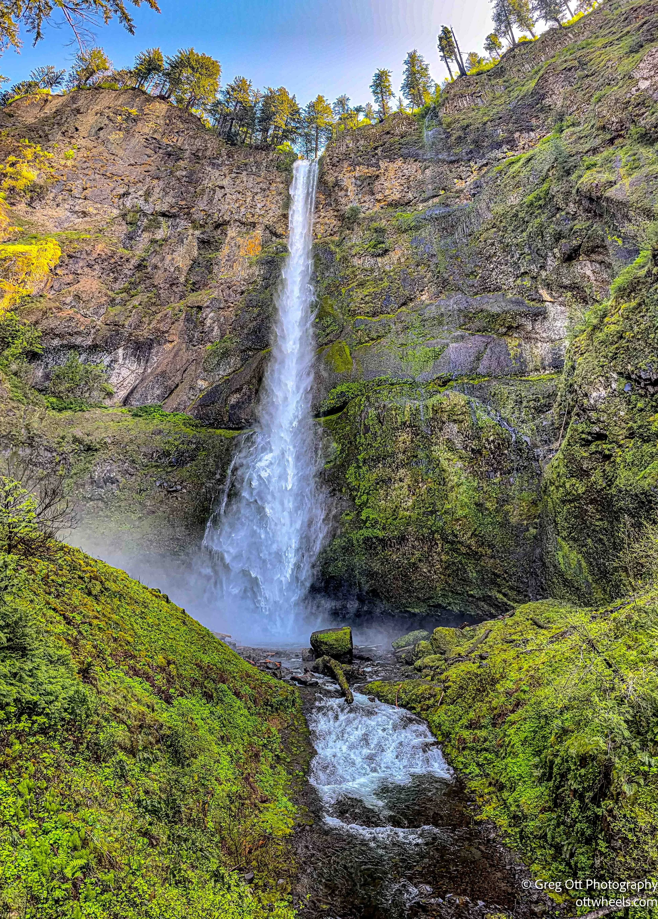
The viewpoint sits right at the lip where the water begins its 500-foot drop. I spent some time trying to do justice to it with the camera — capturing moving water well is its own challenge — then started back down.
The descent was dramatically easier, which is always a small mercy after a climb like that. The hike down turned into a photography walk. On the way up, the goal was the summit. On the way back, I was stopping anywhere I could find a gap in the trees. There was one spot near the falls where the spray was so heavy it was basically rain — I passed on trying to get a shot there. At the bridge at the base, it was elbow-to-elbow with people taking photos, which is completely understandable. It's a good shot.

Back at the bottom, I caught up with Jennifer and Lori again. They'd made it. We chatted for a few minutes and I headed over toward the lodge restaurant, thinking I'd grab something to eat. After about ten minutes of waiting and watching a dining room where the service had essentially stalled, I made the call to cut my losses. Some meals aren't worth the wait.
Back at the bottom, I caught up with Jennifer and Lori again. They'd made it. We chatted for a few minutes and I headed over toward the lodge restaurant, thinking I'd grab something to eat. After about ten minutes of waiting and watching a dining room where the service had essentially stalled, I made the call to cut my losses. Some meals aren't worth the wait.
I was almost back to the van when I heard my name. Jennifer and her husband had pulled up, with Lori in the back seat. He rolled down the window and said they were heading for ice cream. That's exactly the right reward after a hike like that. They'd earned every bite.
Hood River, Oregon
I packed up and made the thirty-minute drive east to Hood River, which sits right on the Columbia with Mount Hood as its backdrop. Managed to find parking in the center of town — no small thing — and since it was close to 5 pm and parking went free at 6, I paid for an hour and started walking.
Dinner was at Pietro's Pizza. I asked if they sold pizza by the slice, and they didn't, but they had a six-inch personal pizza that was essentially a glorified slice. Possibly the smallest pizza I've ever ordered. I had a side salad with it and a glass of water, which felt appropriately modest after the day's output.
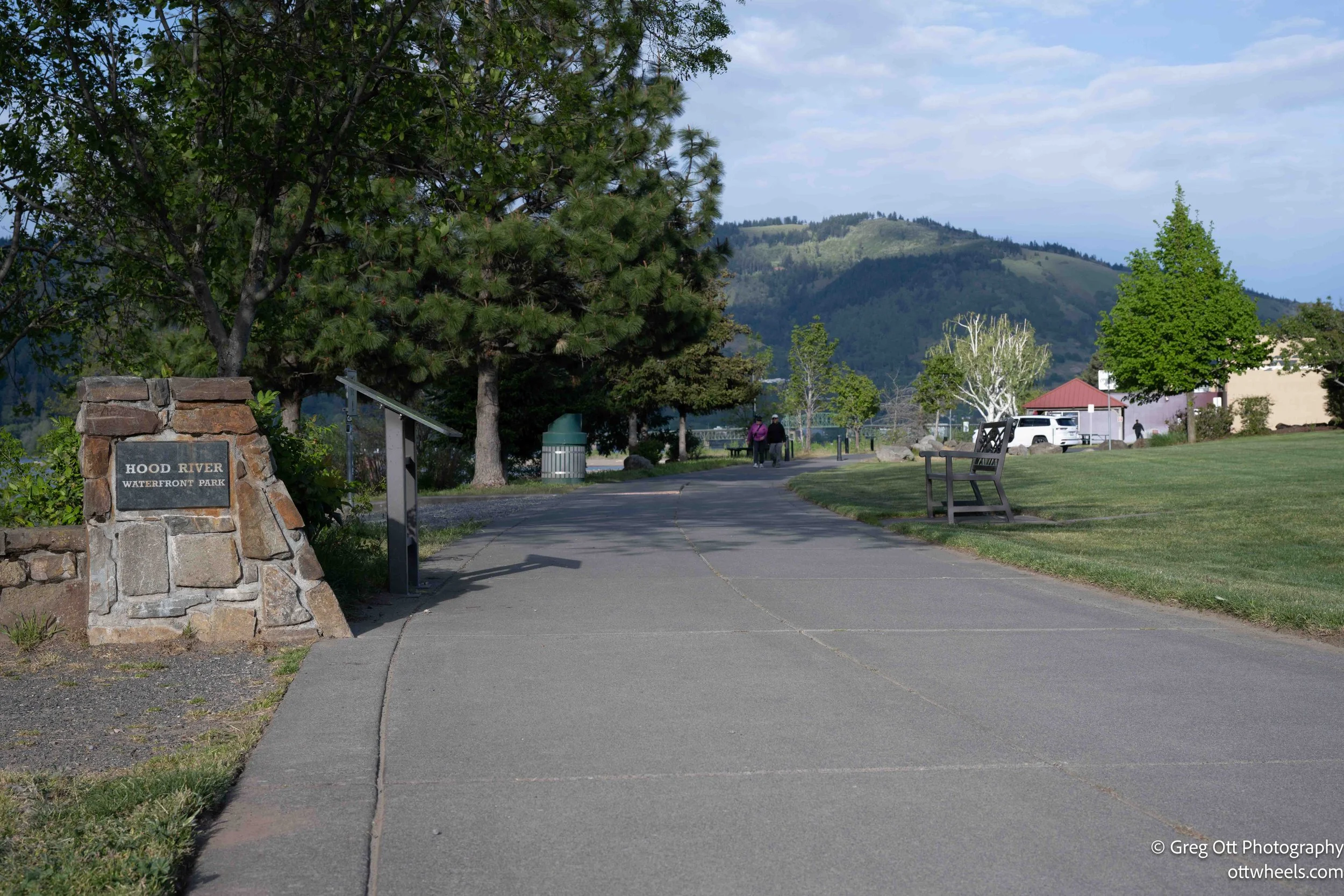
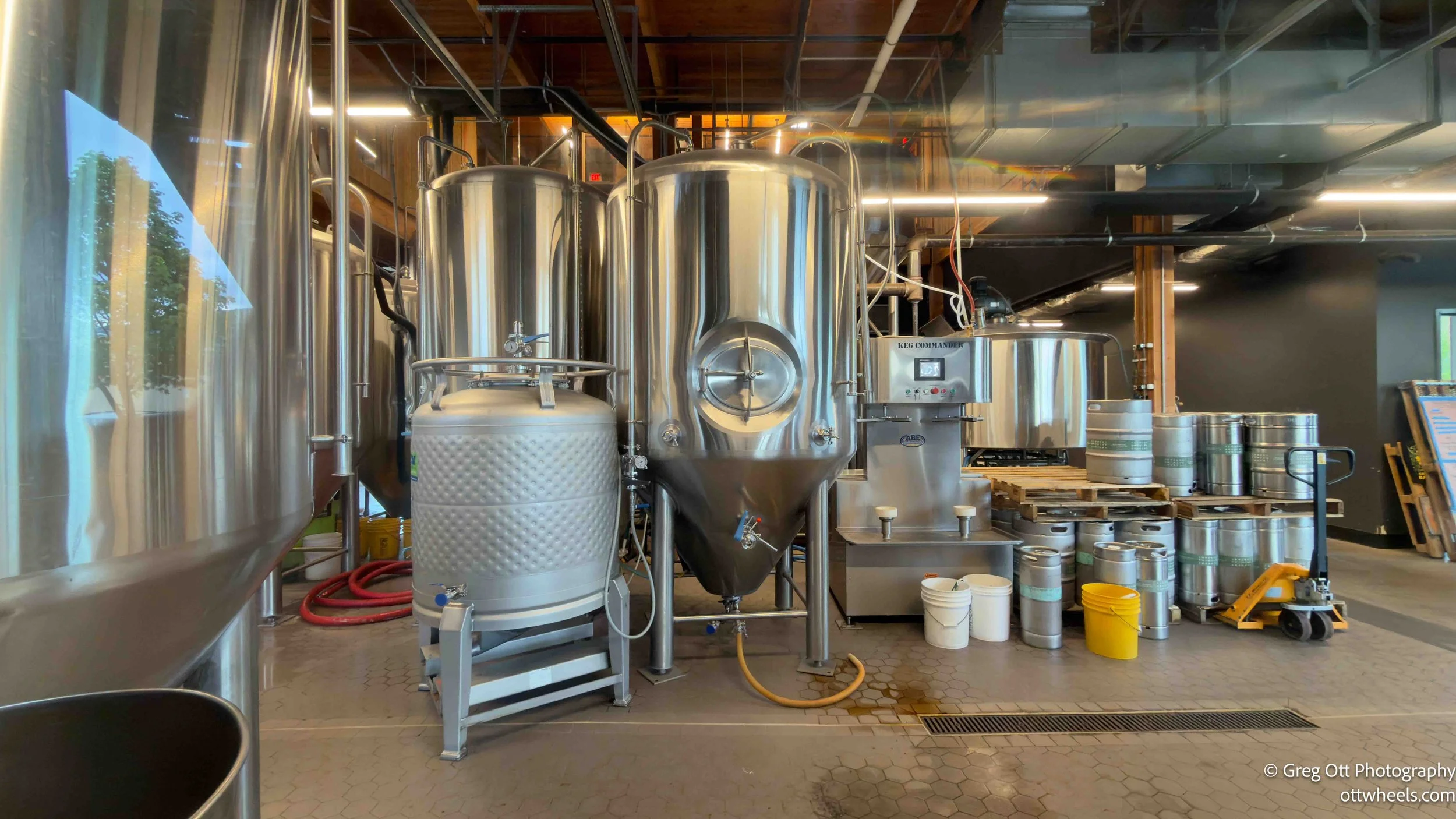
After dinner I walked down to the river walk, which turned out to be at least a mile out on the other side of I-84 — a newer part of town with more parking, open space, a couple of breweries, play areas for kids, and restaurants with outdoor seating. It had a younger, more relaxed energy than the main street. I wished I had come here first.
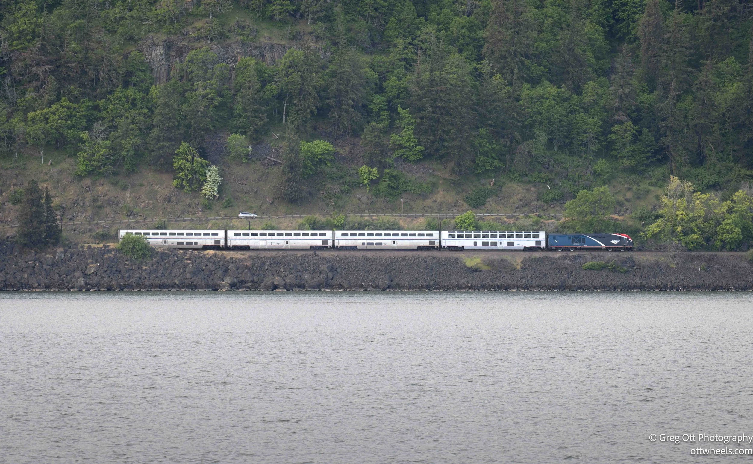
I stood at the edge of the Columbia River and just watched it move. There's something about a big river that's hard to describe — the sheer volume of water, the way it keeps going regardless of anything happening on the banks. A few boats cut across. Then, on the far side, an Amtrak passenger train appeared, heading upriver at a steady pace — not fast, but solid, purposeful. I stood there longer than I probably needed to.
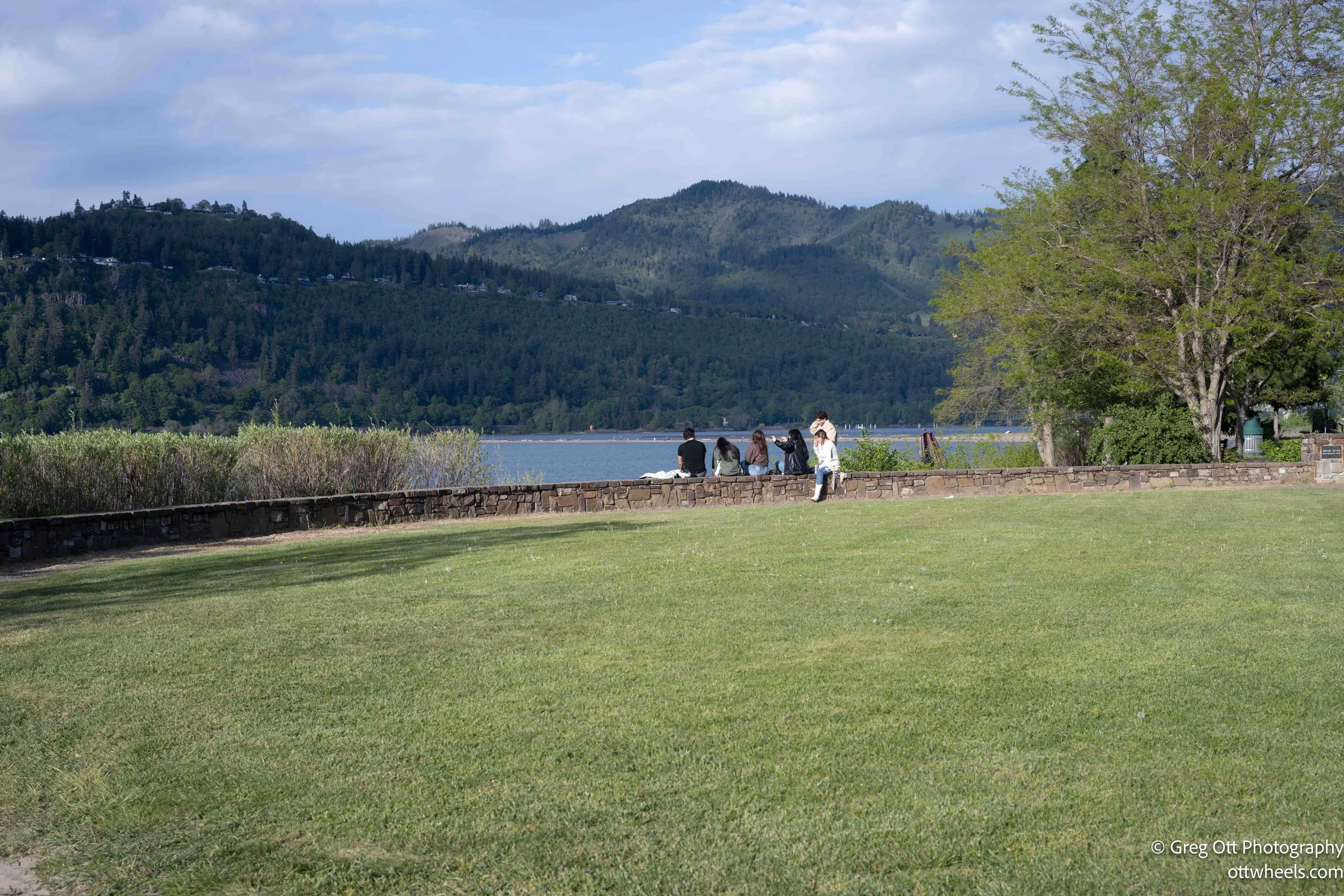
I followed the bike path out to a park and watched the sun drop toward the valley. The light was bright and I'd left my neutral density filters in the van, which meant I was working with what I was given. Sometimes that's fine. You adapt, you find the shots that work in the available light, and you move on.
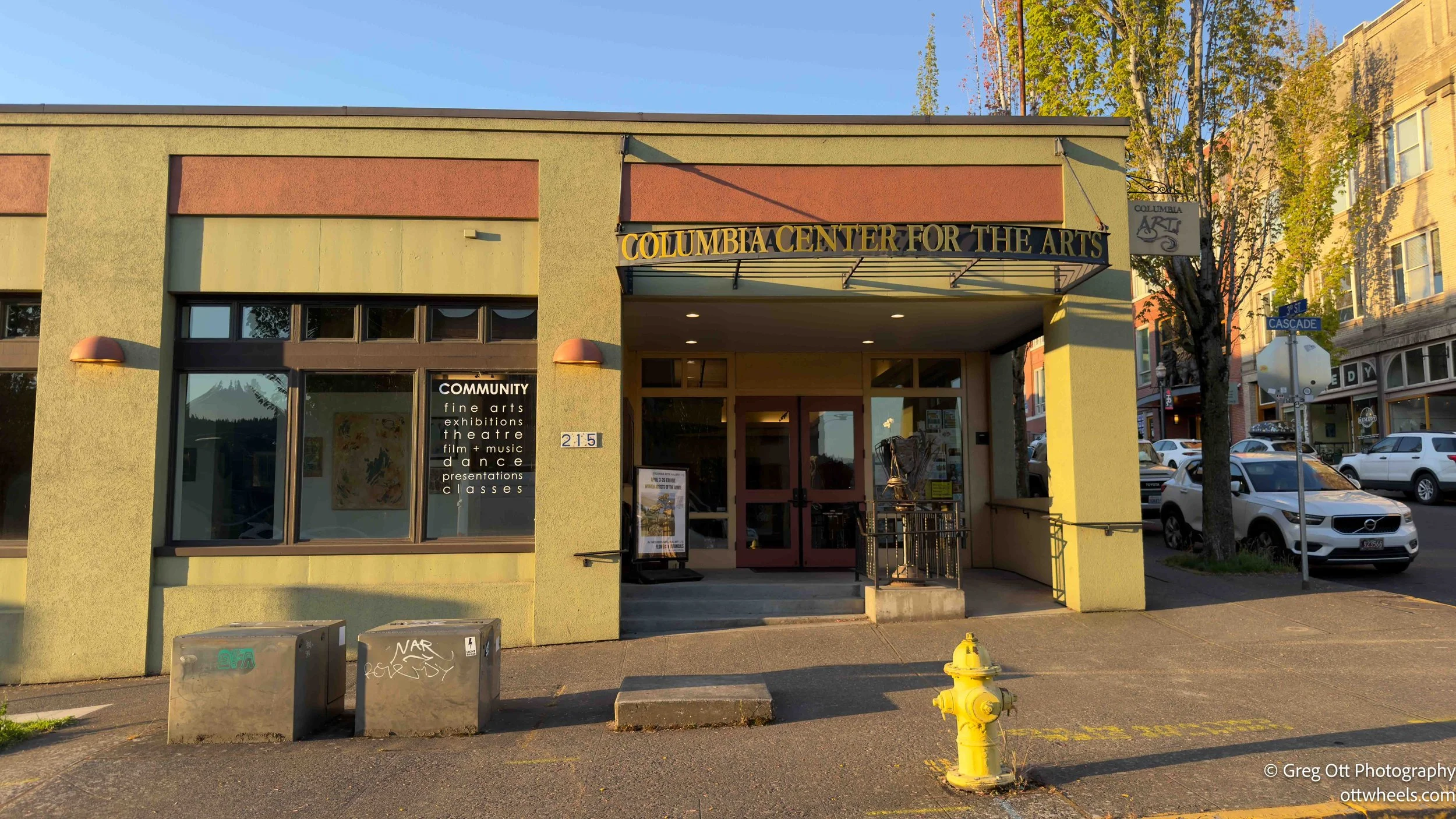
By the time I walked back into town, the sun was nearly down and the light on the storefronts was doing interesting things. I was shooting window fronts and trying to decide what to do next when I passed a building I'd noticed earlier — the Columbia Center for the Arts. A woman was standing near the front door. I asked if the gallery was still open.
"It's open for another fifteen minutes," she said. "And you're welcome to stay for the showing of Confluence."
Confluence is a documentary about the ongoing effort by indigenous communities along the Columbia River to protect their right to plants — a food source and a cultural cornerstone — while simultaneously fighting the impact of large-scale hydroelectric infrastructure. The film was free. Apparently it has won awards on the documentary circuit.
Before it started, an executive from ColumbiaRiverKeeper.org gave some context — an organization that works to protect the river, support communities along its banks, and preserve tribal land rights and heritage. The film itself was quietly devastating in the way that well-made documentaries can be: thorough without being preachy, patient with complexity, and honest about what's been lost and what's still being fought over. For me it was genuinely educational. The history of how tribal land has been taken, repurposed, and in many cases flooded by the dams themselves — I didn't know the half of it.
After the film, four panelists took questions: three tribal members and one of the film's directors. They stayed for about forty minutes. At one point I asked whether the film was available somewhere — whether I could share it. The answer was effectively no. Teachers can request special permission. But it's not on YouTube, not available for general streaming.
I understand that distribution rights and licensing are complicated, but I couldn't quite reconcile the stated goal of getting the word out with the practical reality of keeping the film locked up. That's a tension worth sitting with.
It was going on 10 pm by the time I got back to the van. The bars were still going. Music spilled out onto the street from a few different directions as I walked — different styles, different volumes, overlapping into something that sounded like a town still awake and not particularly interested in calling it a night.
I'd planned to park at a spot I'd found with an app, but the street was too active. Hood River has steep grades and I drove around longer than I wanted to before I found it — a quiet street with all the lights off, a plumber's truck at the curb, tall bushes beside it, and absolutely nothing moving. I pulled up behind the truck, turned off the engine, locked the doors, and went to sleep.