Harris Beach and Samuel H. Boardman Scenic Corridor
It was a noisy night in Brookings, Oregon. A flatbed tow truck idled across the street between runs, vehicles with loud mufflers proclaiming their freedom to make as much noise as they want, and tractor trailers up the hill hitting their air brakes. Other than that, I slept surprisingly well—at least according to my sleep app.
Harris Beach State Park
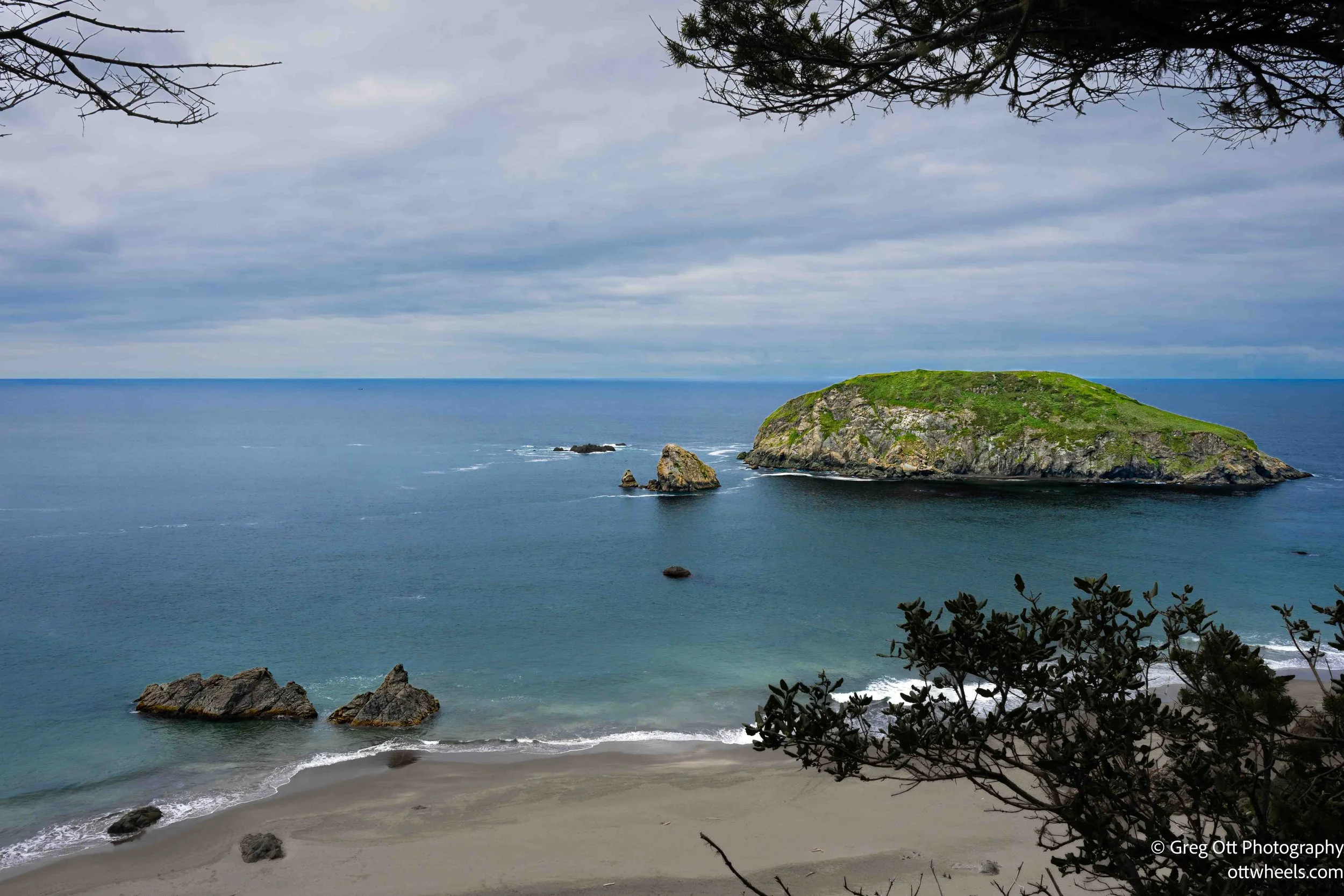
I made my way to Harris Beach State Park for some views of the coast. I scanned the QR code and paid the $12 day-use fee through ReserveAmerica. I thought it was a little steep, especially considering some states charge not much more than that for a full year pass. The park opens up quickly once you’re inside. Wide views of the ocean, large rock formations just offshore, and campsites sitting up on the hill above it all. It’s clean, simple, and easy to access. There were only a couple of cars in the lot when I arrived.
I stayed in the van, made breakfast, and pulled a double espresso. That alone made the stop worthwhile. Most people come here for the beach or the campground, but for me it was just a good place to ease into the day.
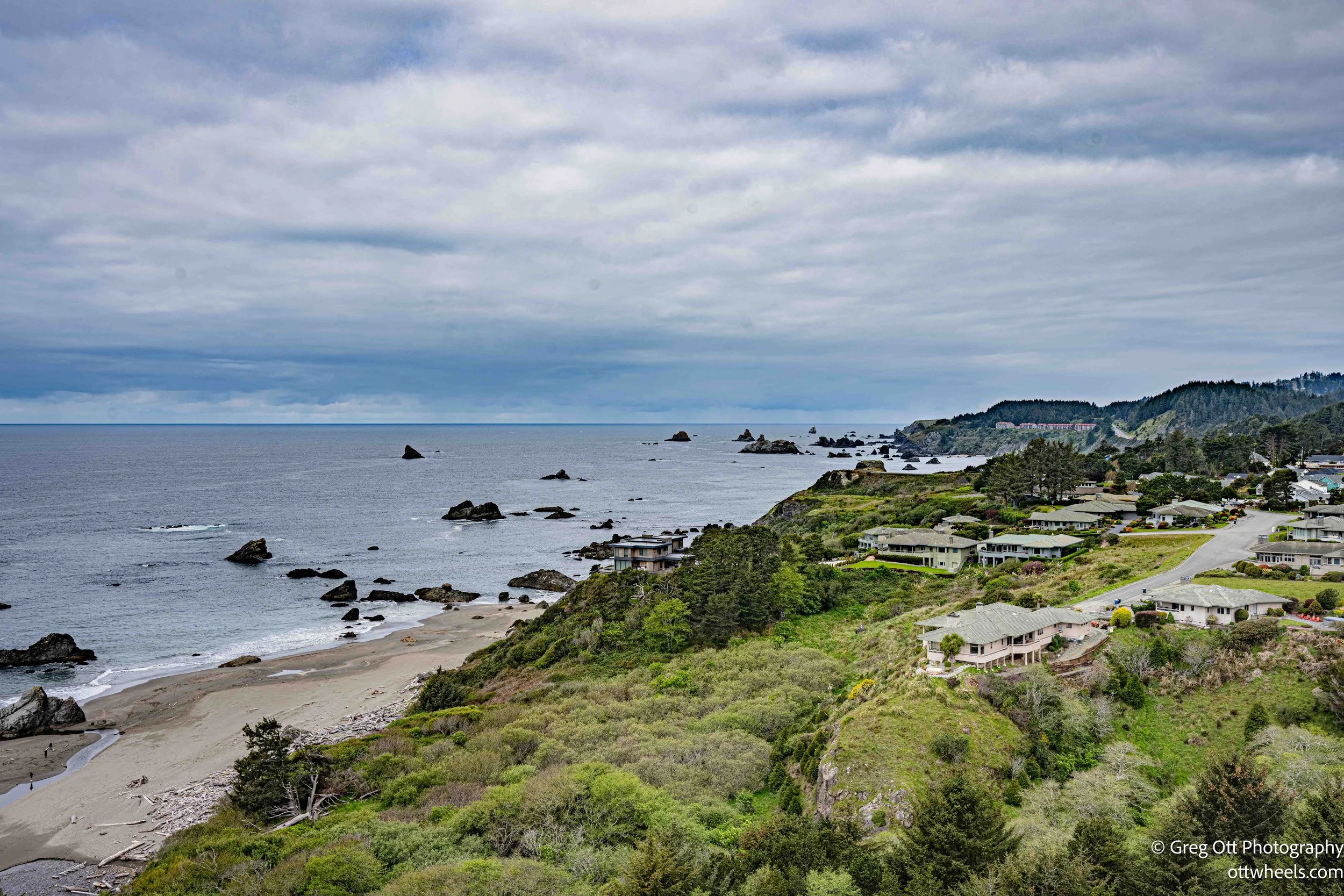
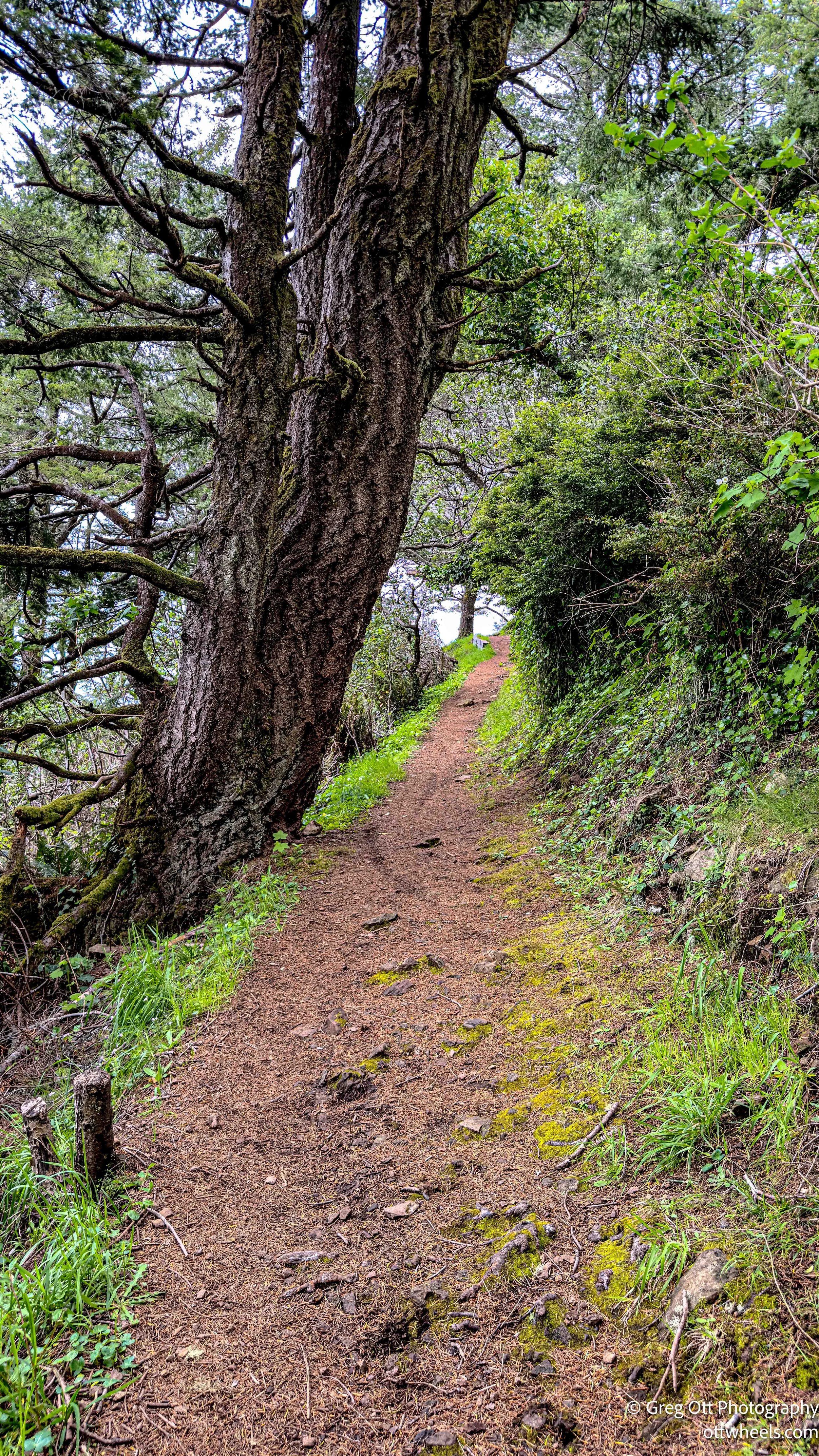
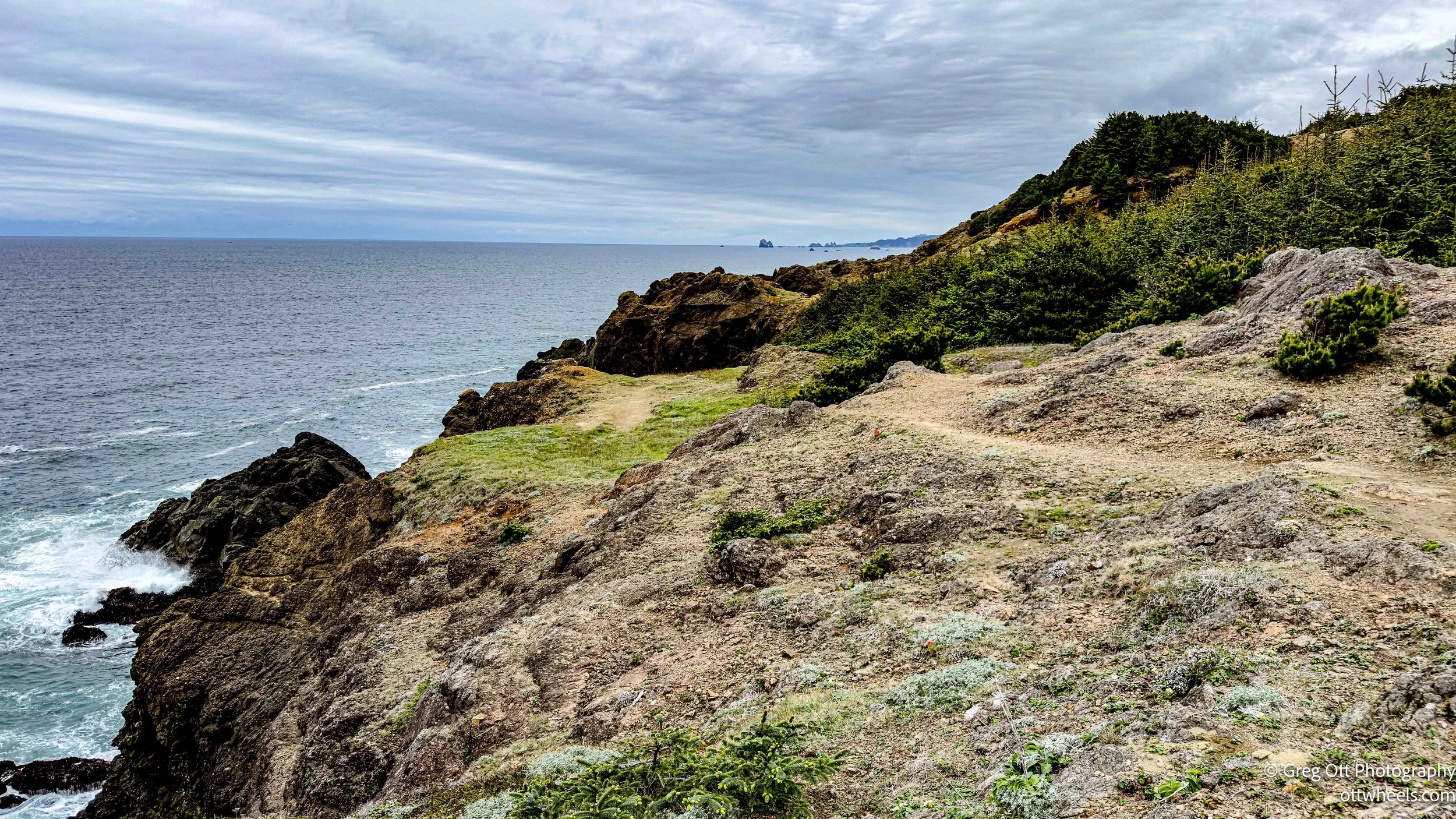
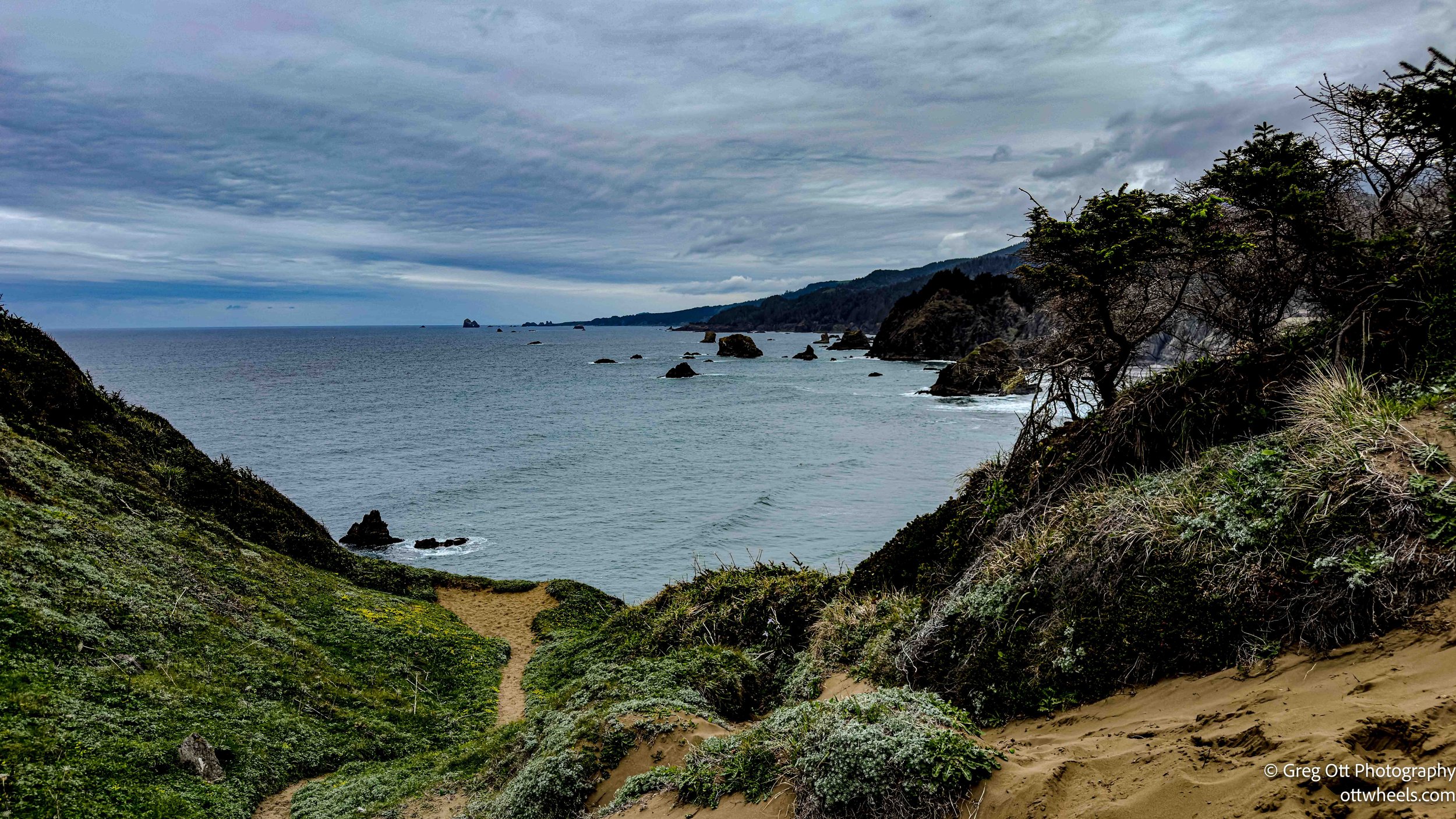
The Harris Beach to Harris Butte trail showed up on AllTrails. About half a mile uphill. Short, but enough to get moving. The climb comes quick, and before long you’re looking back over the beach and out toward the offshore rocks. I grabbed a few shots of the rock formations offshore, some flowers along the trail, and the coastline stretching north. There are homes perched on the cliffs that look like they’ve locked in some of the best views on the coast.
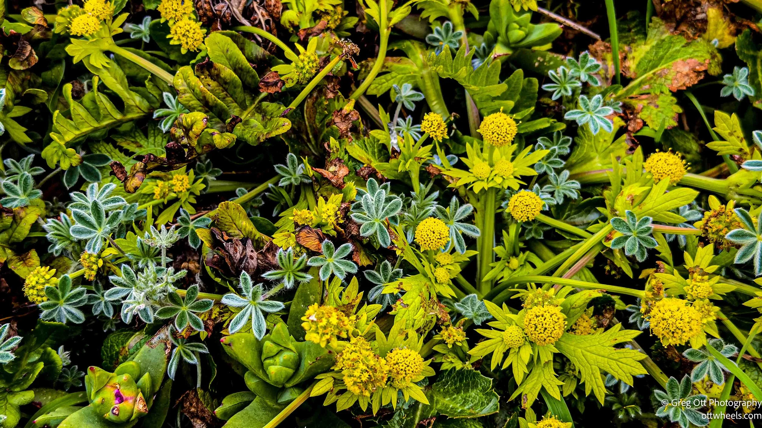
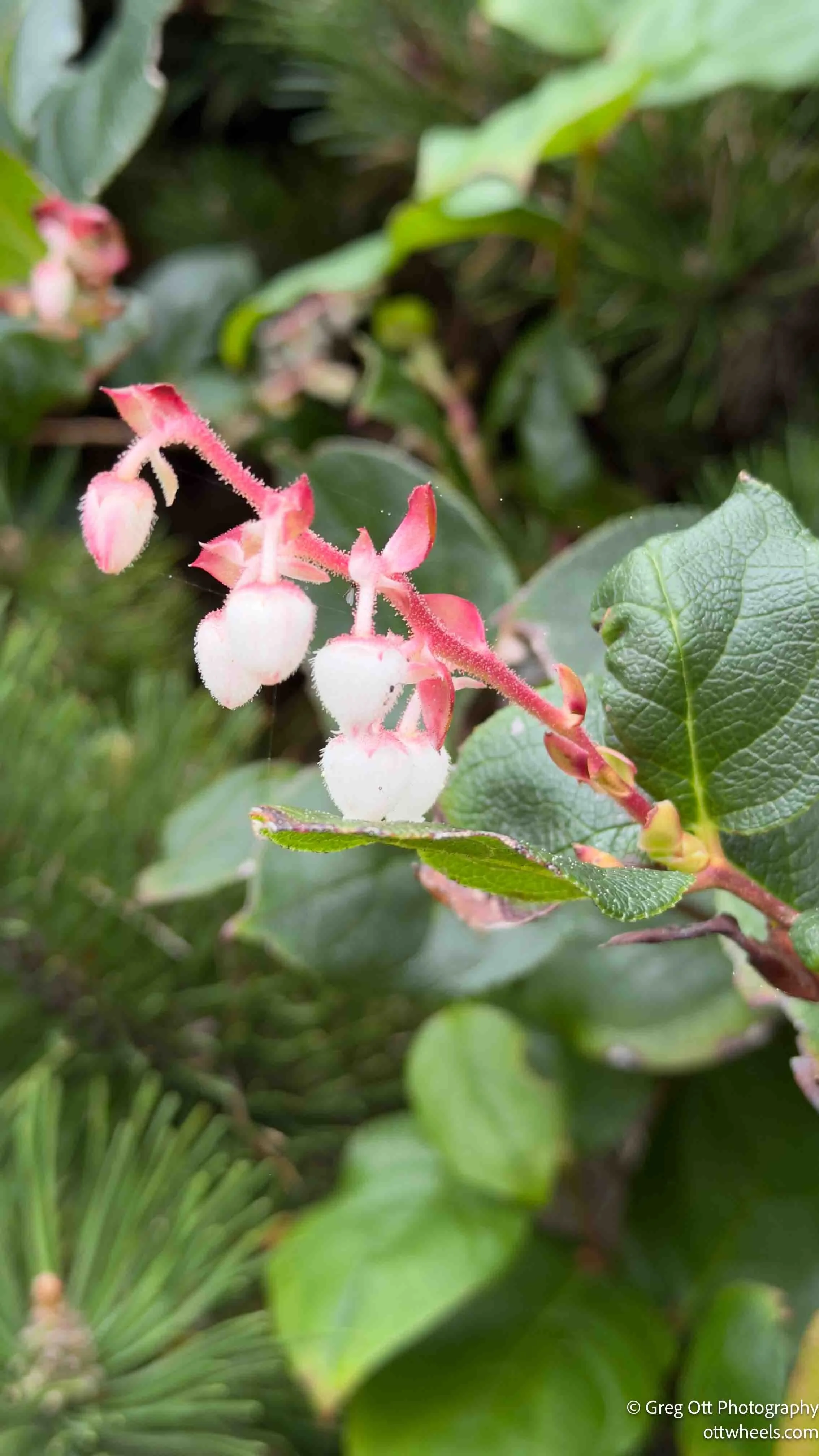
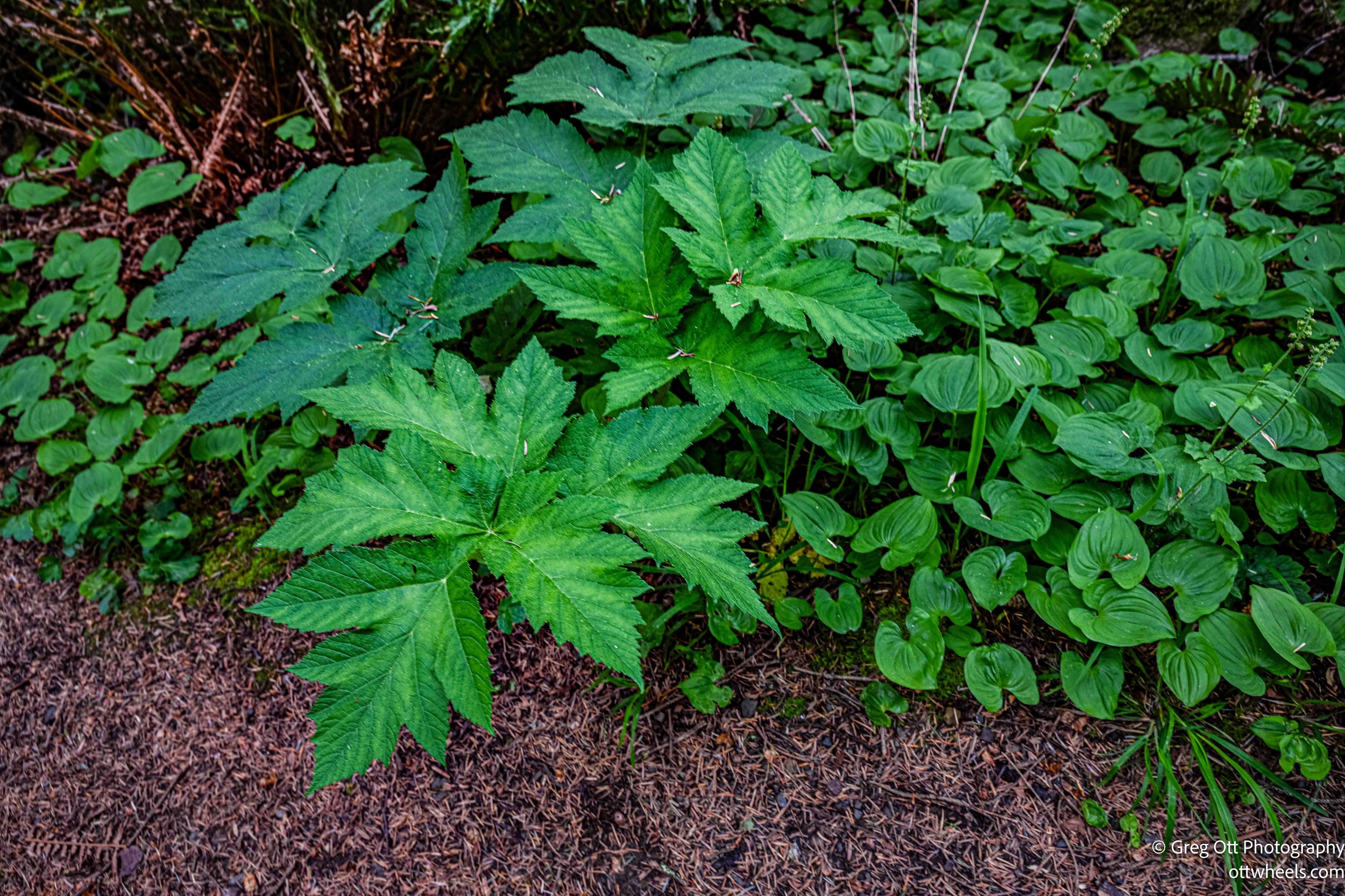
Down below I walked around the area taking in all the flowers before heading to the beach. There were a few I had never seen before. One of the oddest things I’ve seen is a pine needle that must have been blown with high wind and was sticking in a huge leaf near the ground.


On the beach, I took my time walking along the sand. A narrow stream cut across the sand, winding its way from the hills to the ocean. It was just deep enough to stop you from attempting a crossing. It split the beach into two sections, and that was enough of a barrier to turn most people around.
Samuel H. Boardman Scenic Corridor
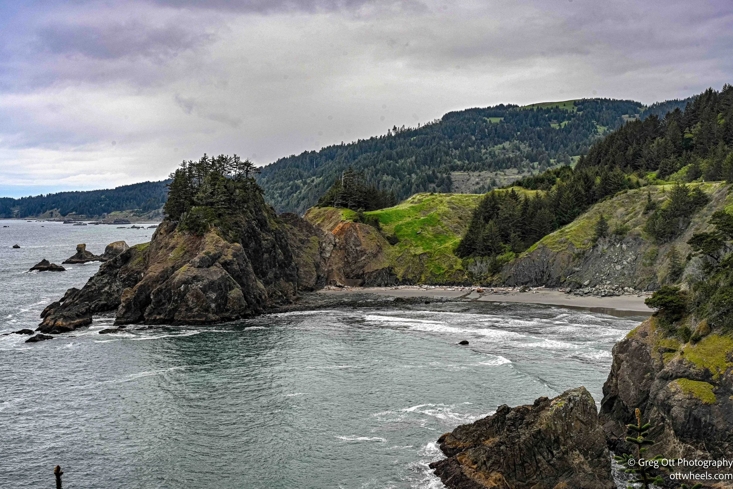
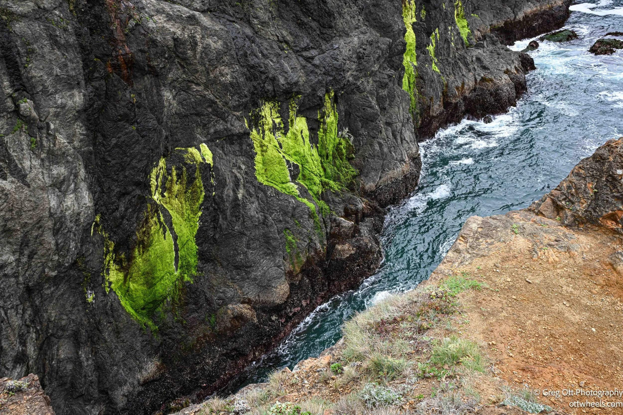
I had the Samuel H. Boardman Scenic Corridor on my agenda for the afternoon. Going in, I thought it was just a scenic drive. It’s not. It’s a series of stops—some quick viewpoints, others full hikes. The information out there didn’t make that clear, and it took a bit to figure out what was worth stopping for. Stops along the corridor include:
Arch Rock Viewpoint
Natural Bridges Viewpoint
Secret Beach
Indian Sands Trailhead
Whaleshead Beach
Cape Ferrelo Viewpoint
Some are a quick walk. Others are real hikes.
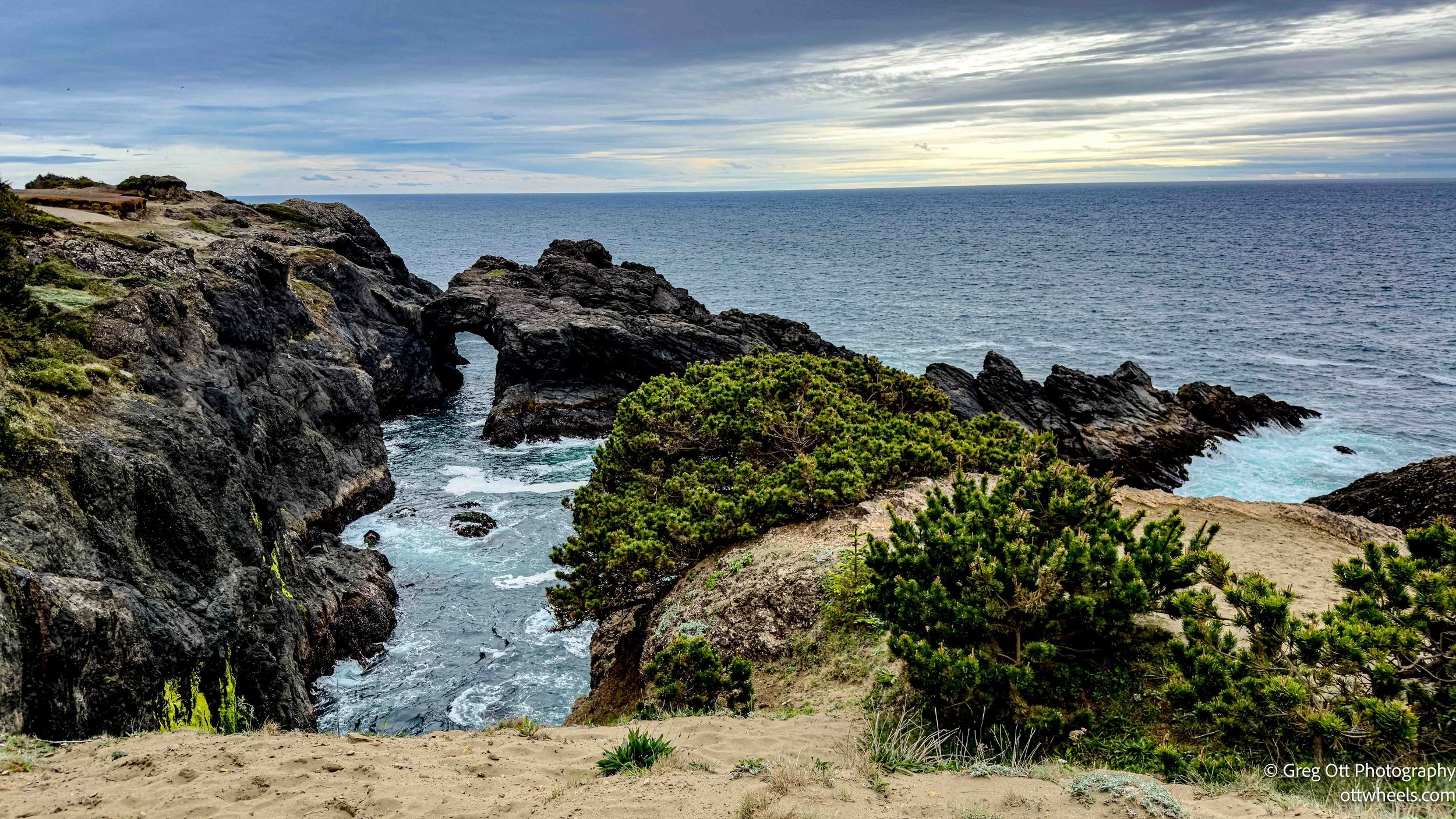
Arch Rock Viewpoint
I pulled over at Arch Rock and asked a couple of locals if there was a way to get closer for photos. They thought the path to the right of the viewpoint might lead there. Another couple decided to find out. AllTrails made it look like the path stayed high and ended near Highway 101, which wasn’t helpful.
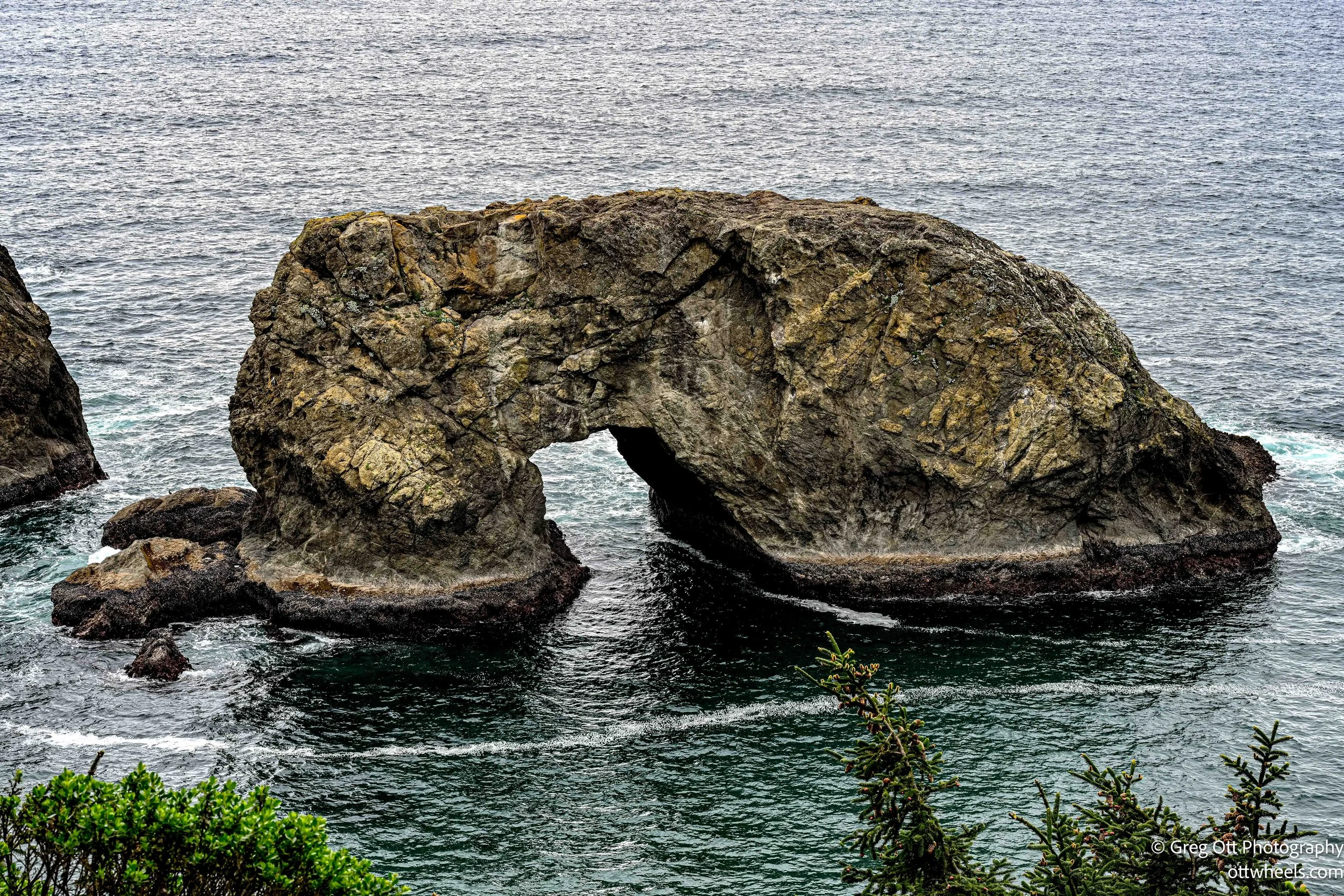
Later, by accident, I stopped at a turnout about half a mile north. I saw a trail and, for some reason, just started walking. It was narrow and slippery in spots, not maintained like the main trails. But it led to a much better vantage point—lower, closer, and more direct to the arch. Exactly what I was looking for.
It ended abruptly at a cliff. The mud near the edge looked wet and unstable, so I kept my distance. On the way back up, I lost traction a couple of times. Steep enough to make you pay attention.
Natural Bridges Viewpoint
Natural Bridges was more straightforward. There’s a clear trail leading to an overlook with a direct view of the rock formations. There was a sign posted: “No Beach Access.” I took that to mean exactly what it said.
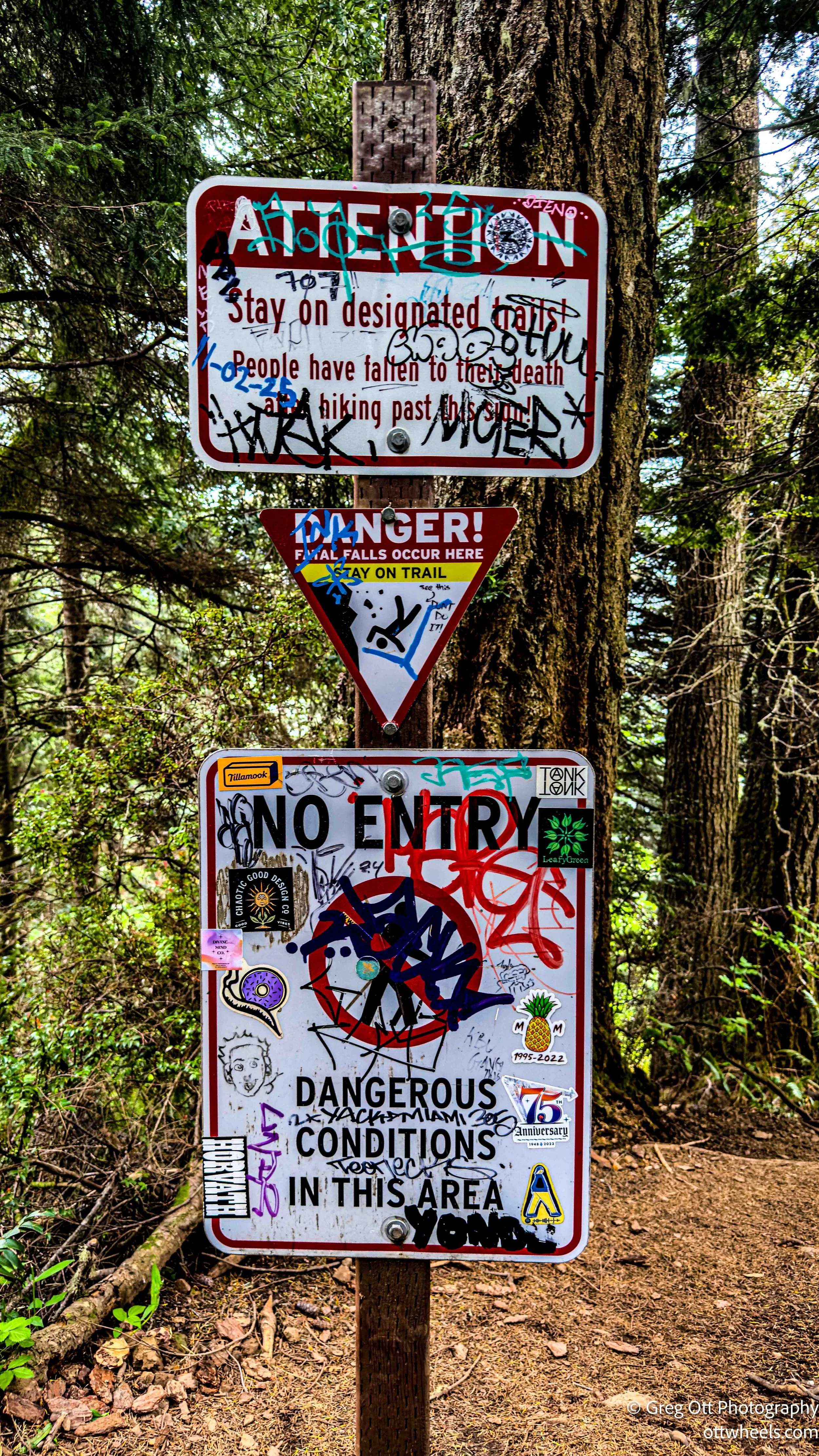
A young couple kept going past the overlook, following a narrow trail that wrapped around the cliffs and eventually climbed back up toward Highway 101. There were several paths heading down toward the beach, all of them looking questionable. One had multiple warning signs, including one that read, “People have fallen to their death after hiking past this sign!” That was enough for me. No reason to test that.
Back at the platform, I met a couple traveling in a van with a golden retriever that wanted to be friends with everyone. They were from Northern Oregon and Washington and did longer trips—one to two months at a time—but not full time. We gave each other quick tours of our vans, swapped a few notes, and then went our separate ways.
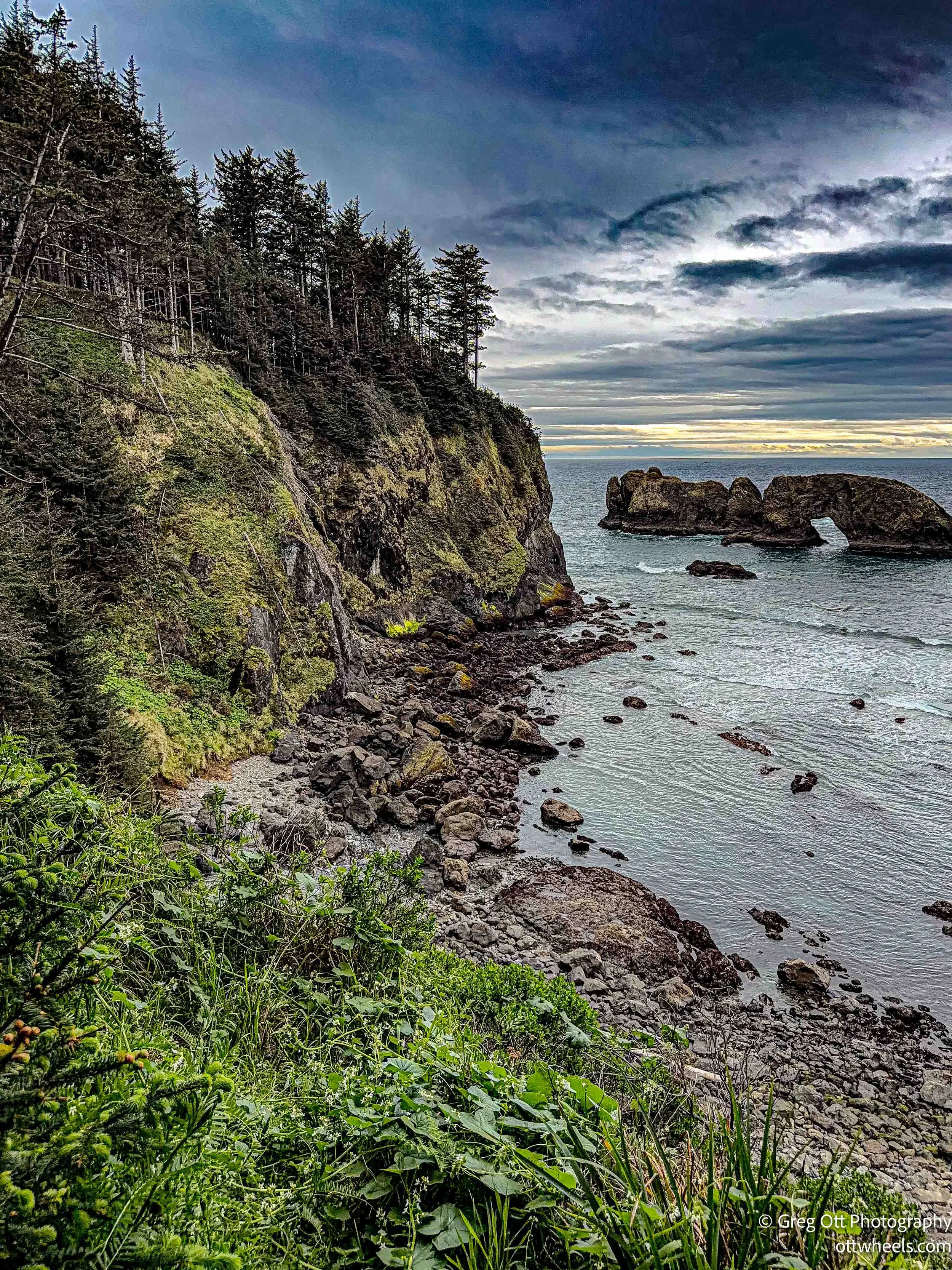
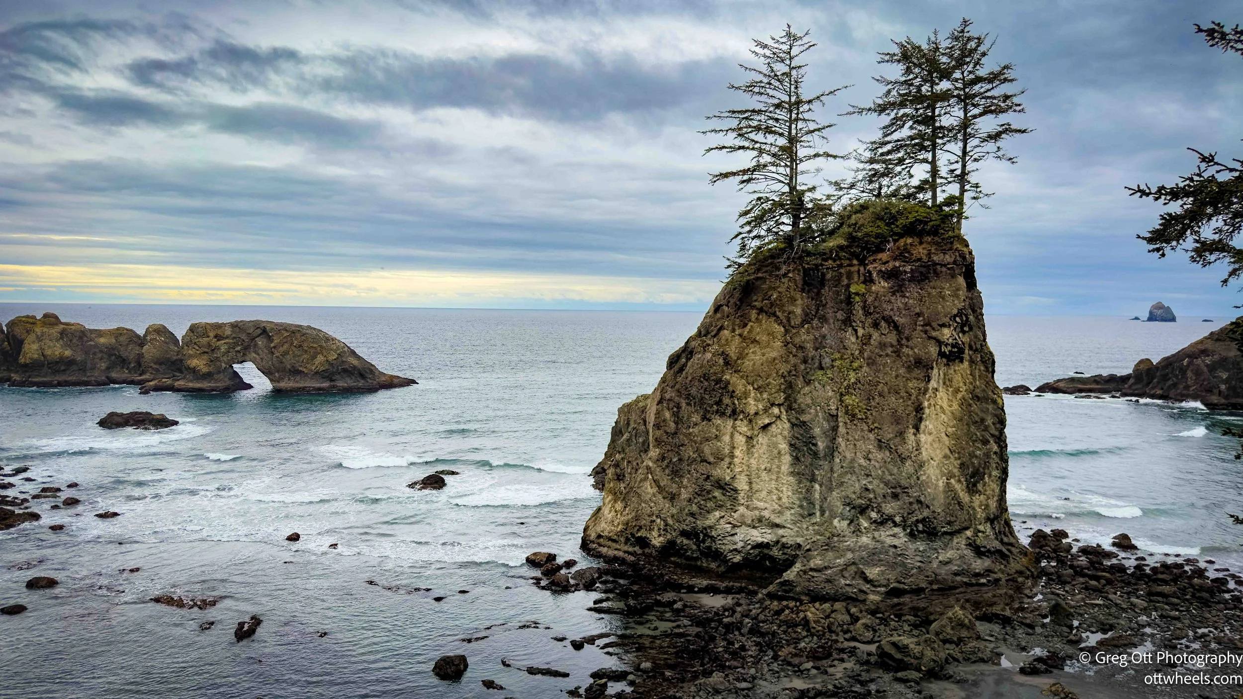
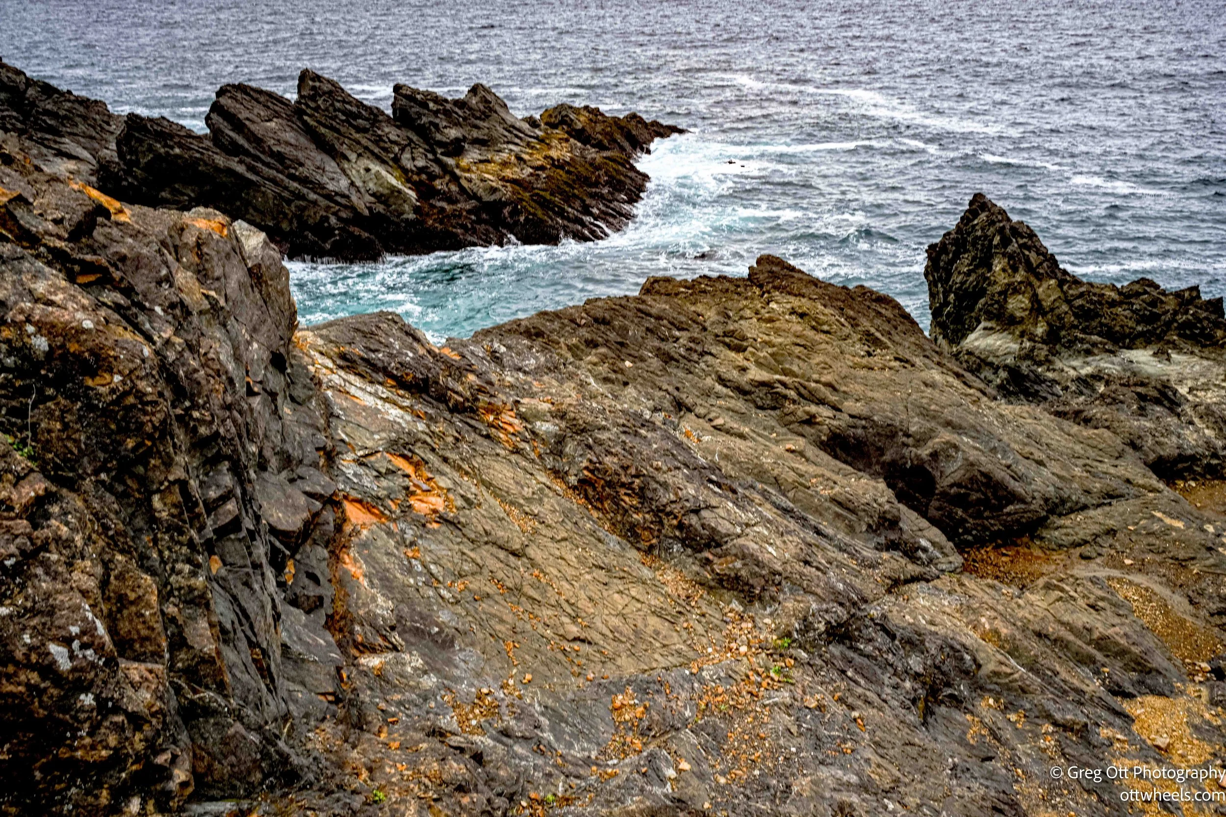
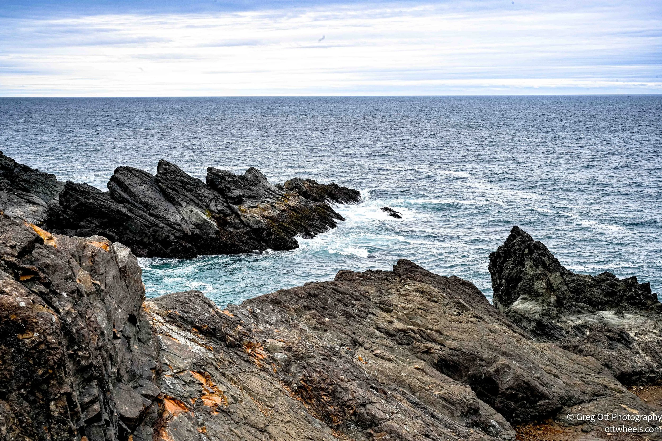
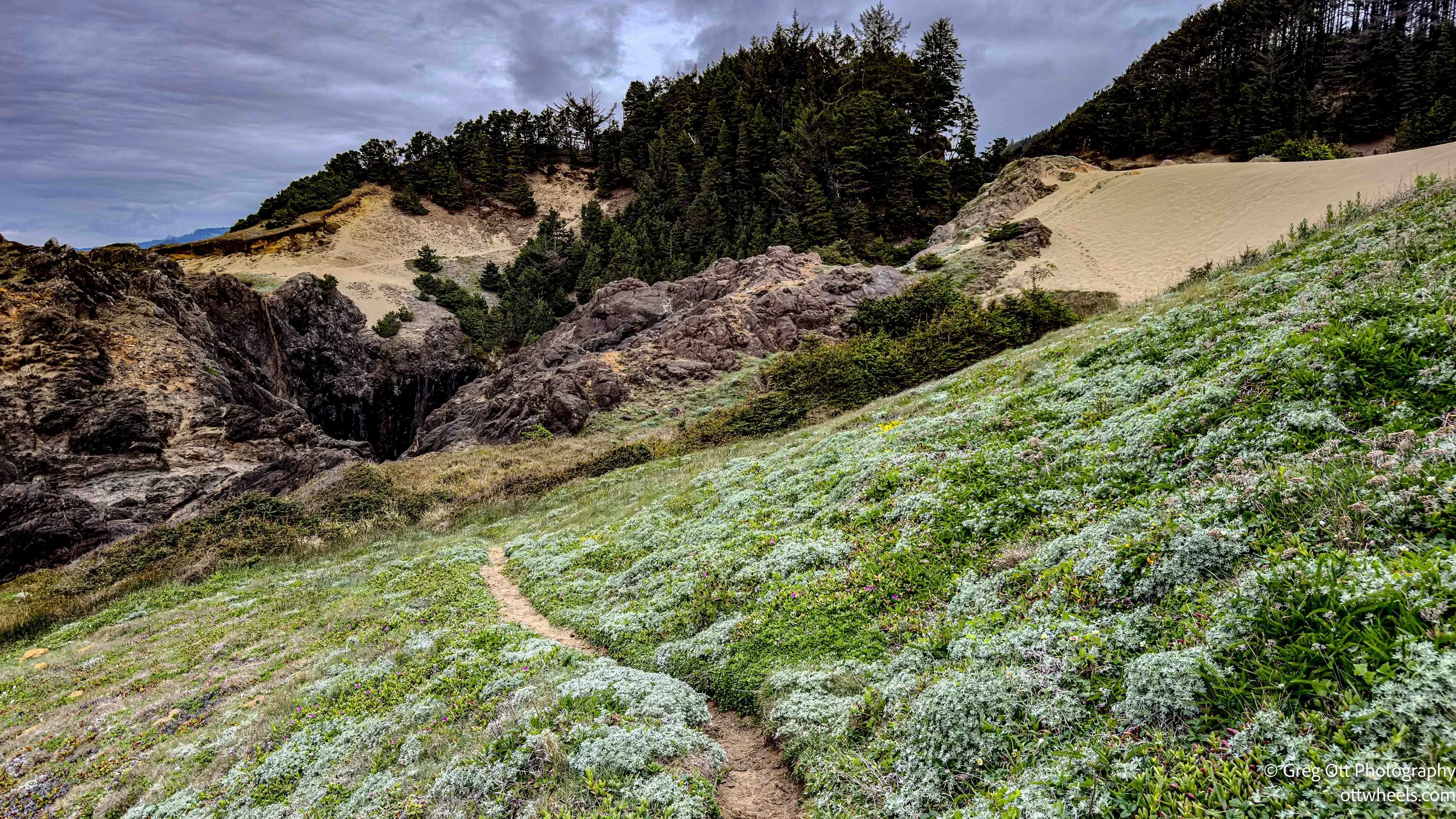
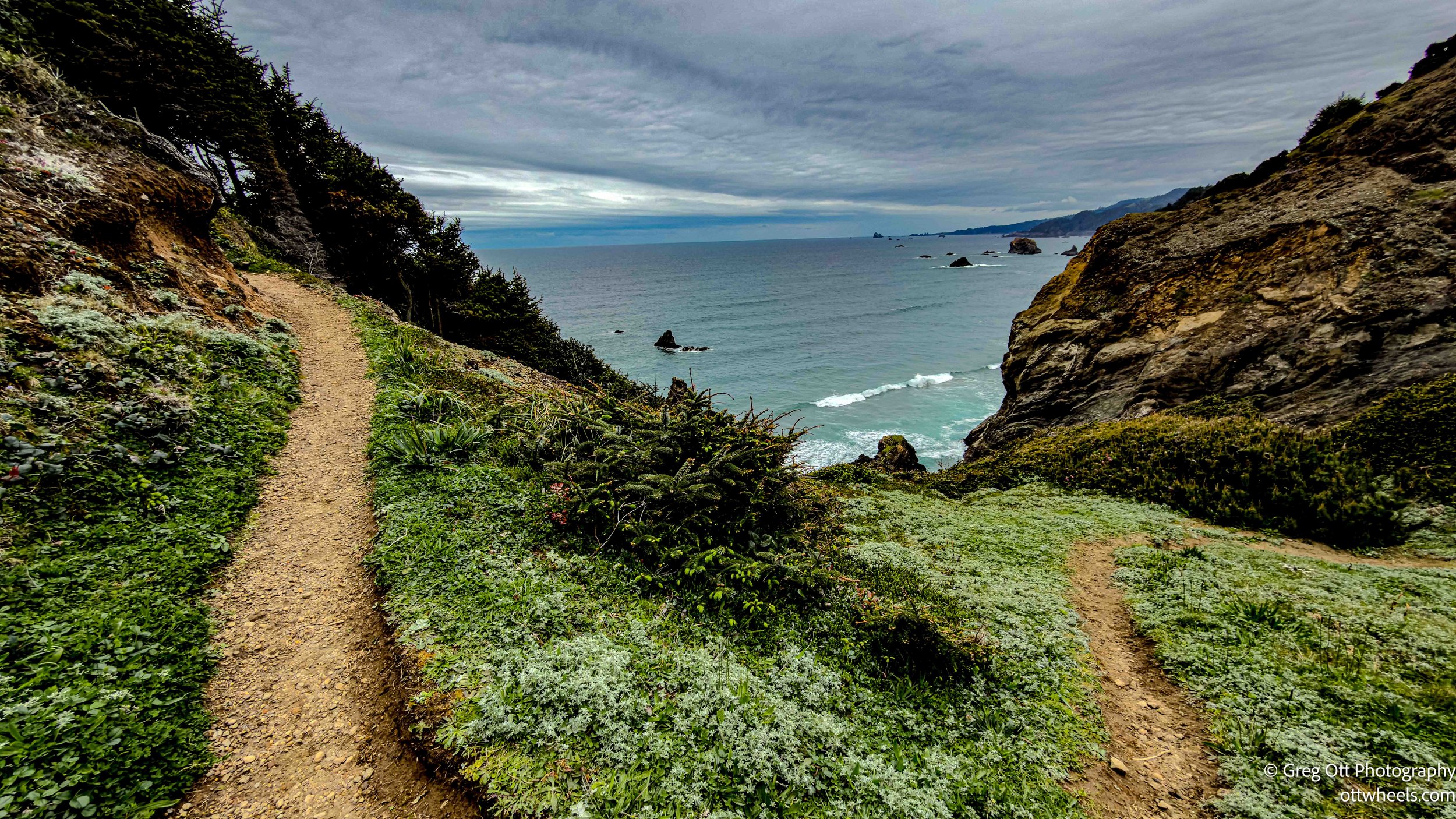
Indian Sands Trail
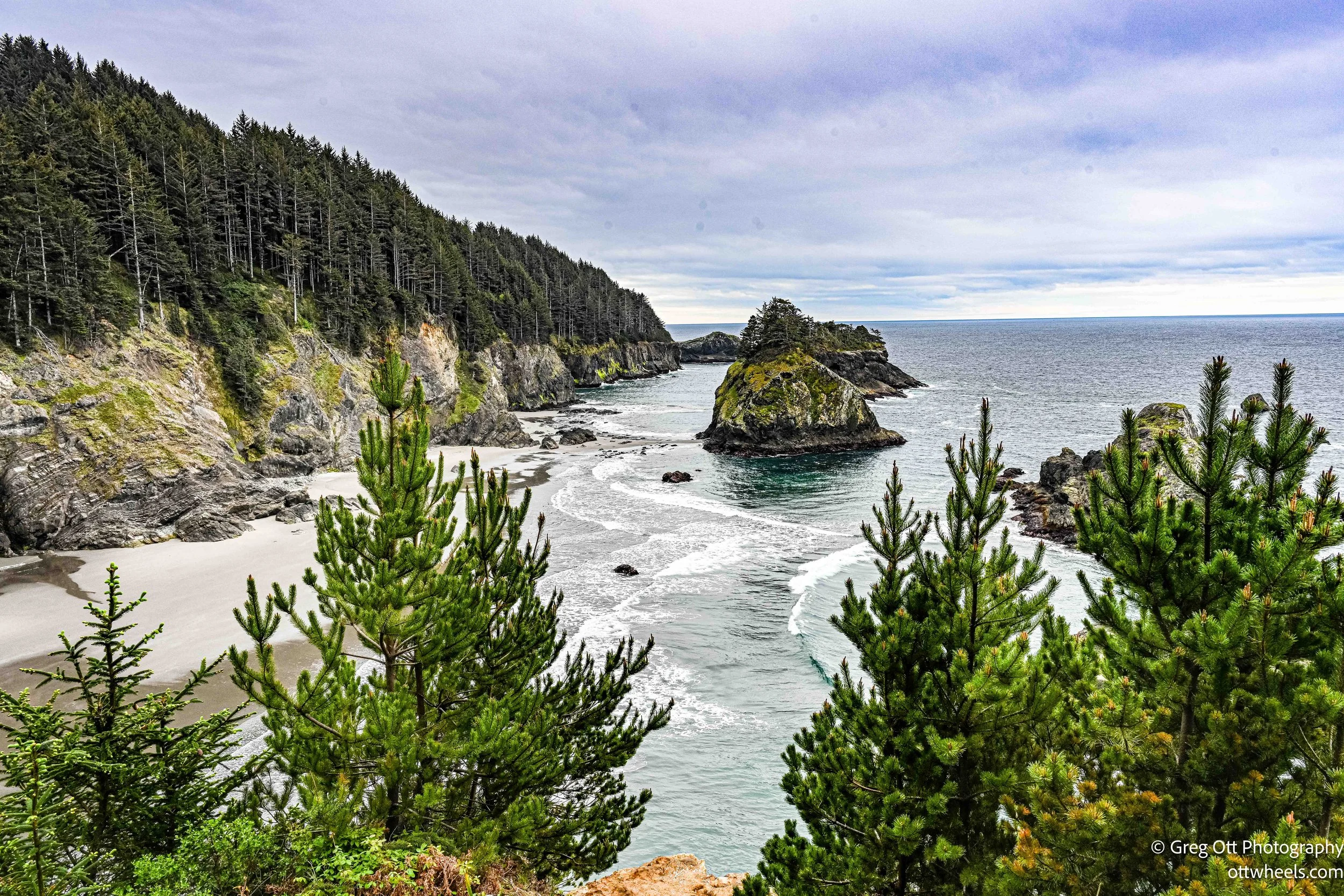
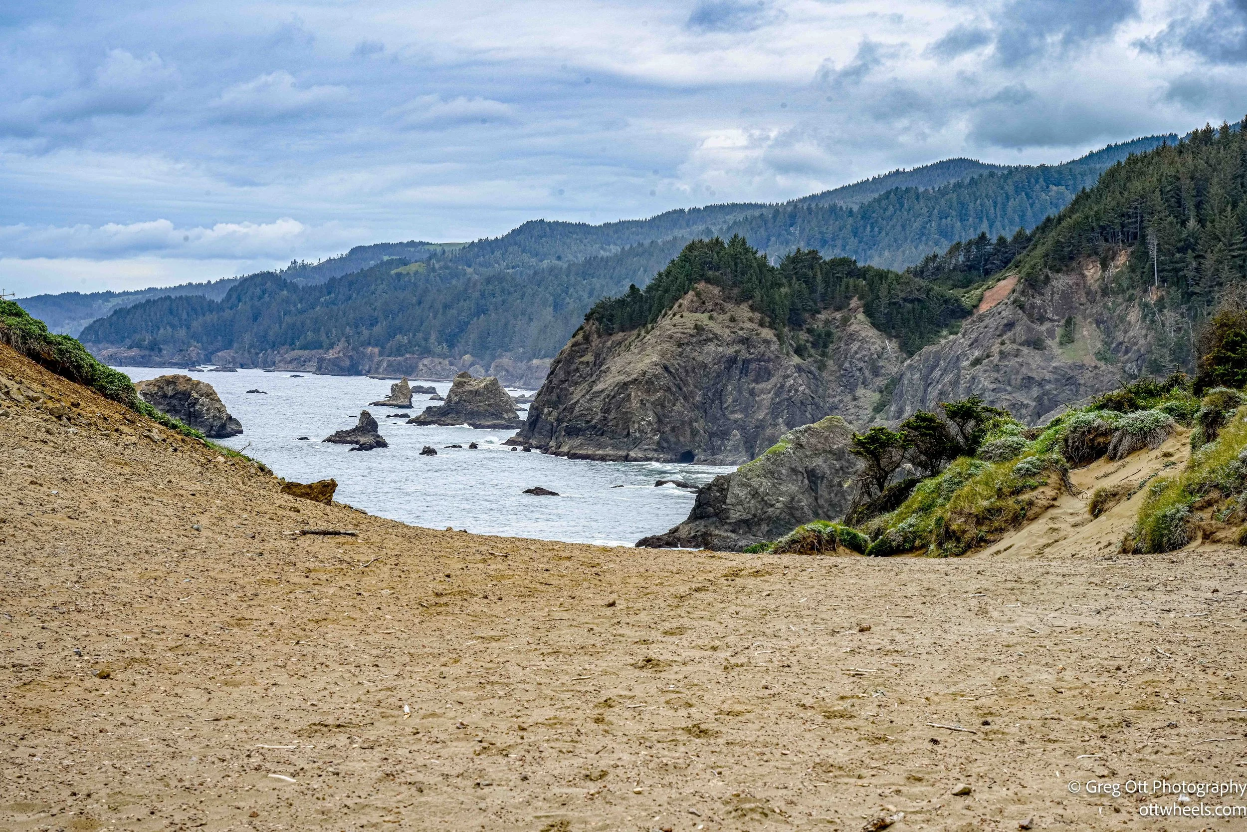
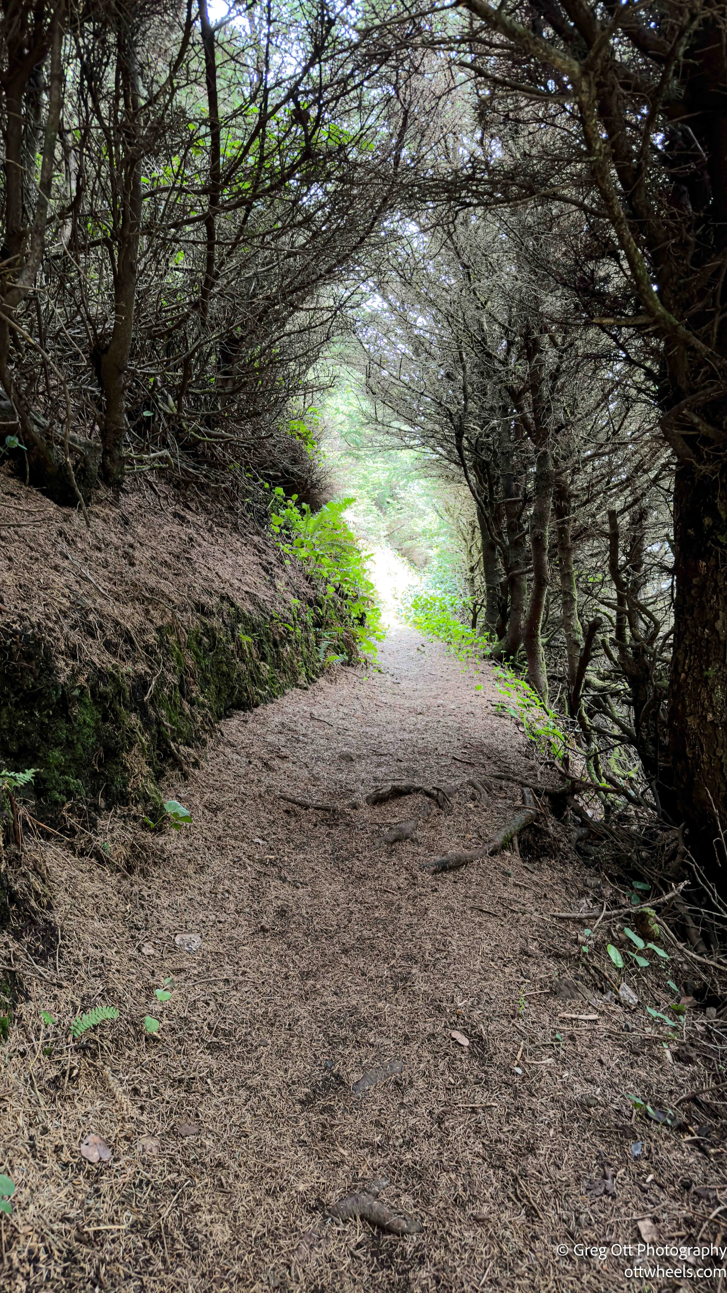
This was easily the highlight. The trail starts easy, dropping through the forest before opening up to the cliffs. Early on, I passed a guy, probably in his 70s, running up a steep section. I said, “How are you doing?” and without slowing down he said, “I am so happy!” That pretty much set the tone. If you’re on this trail, you can’t help being happy.
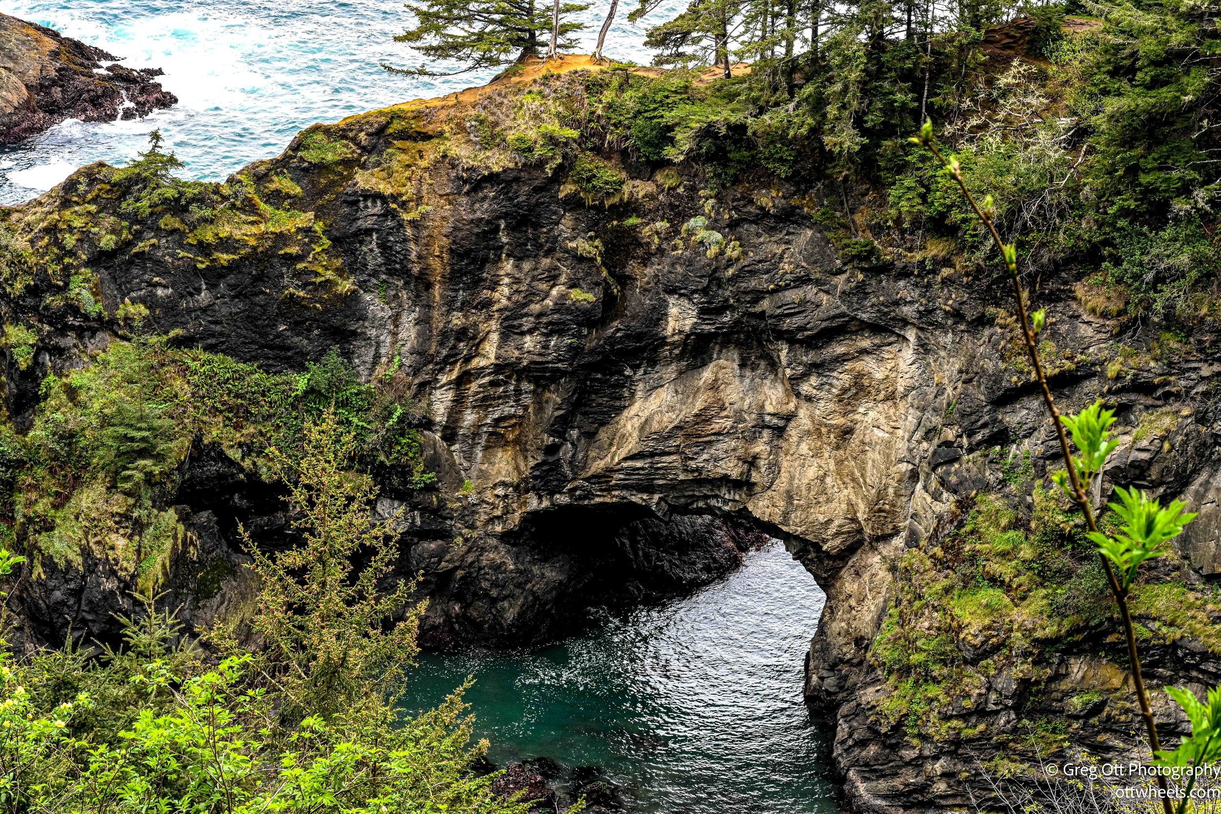
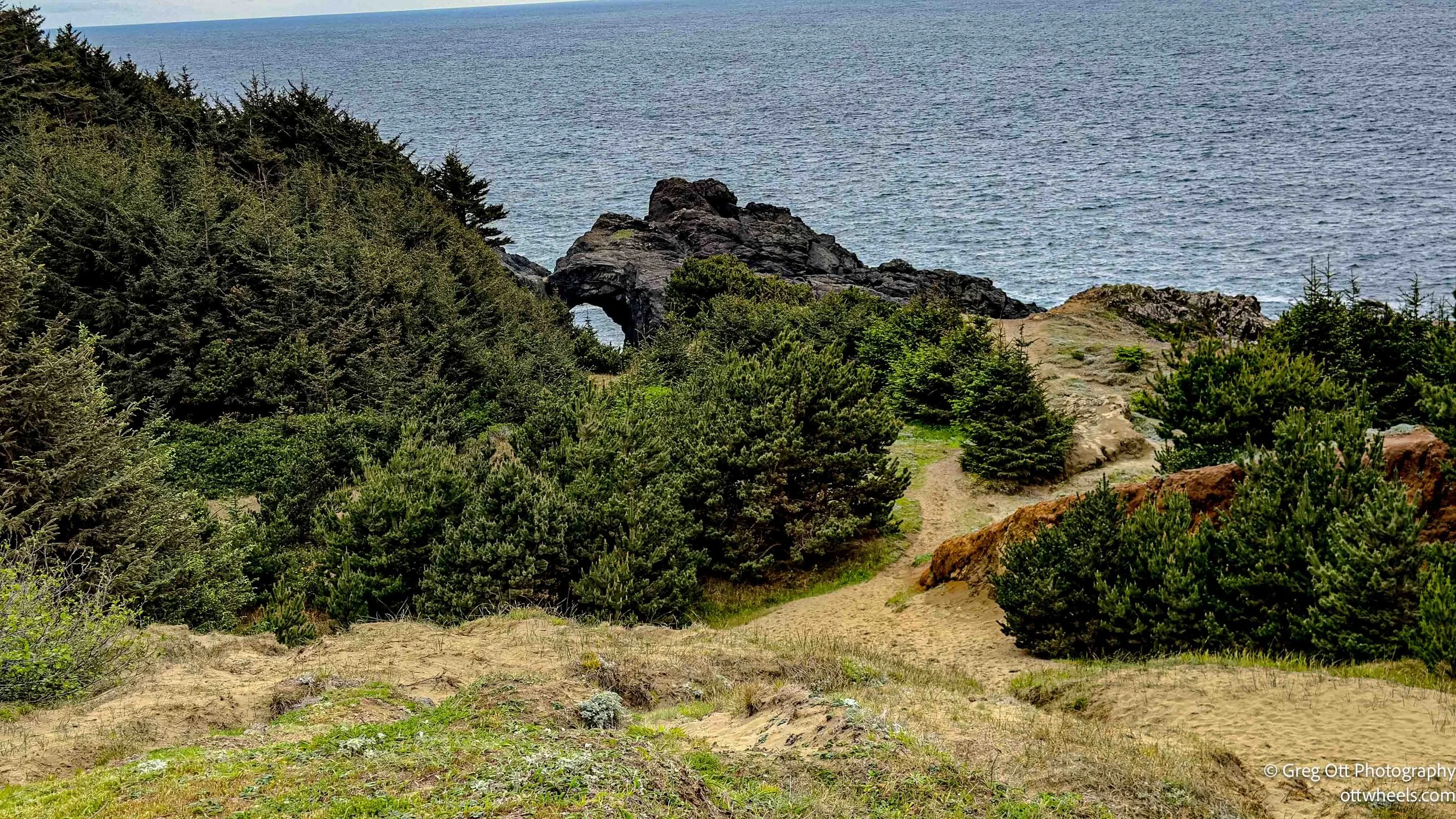
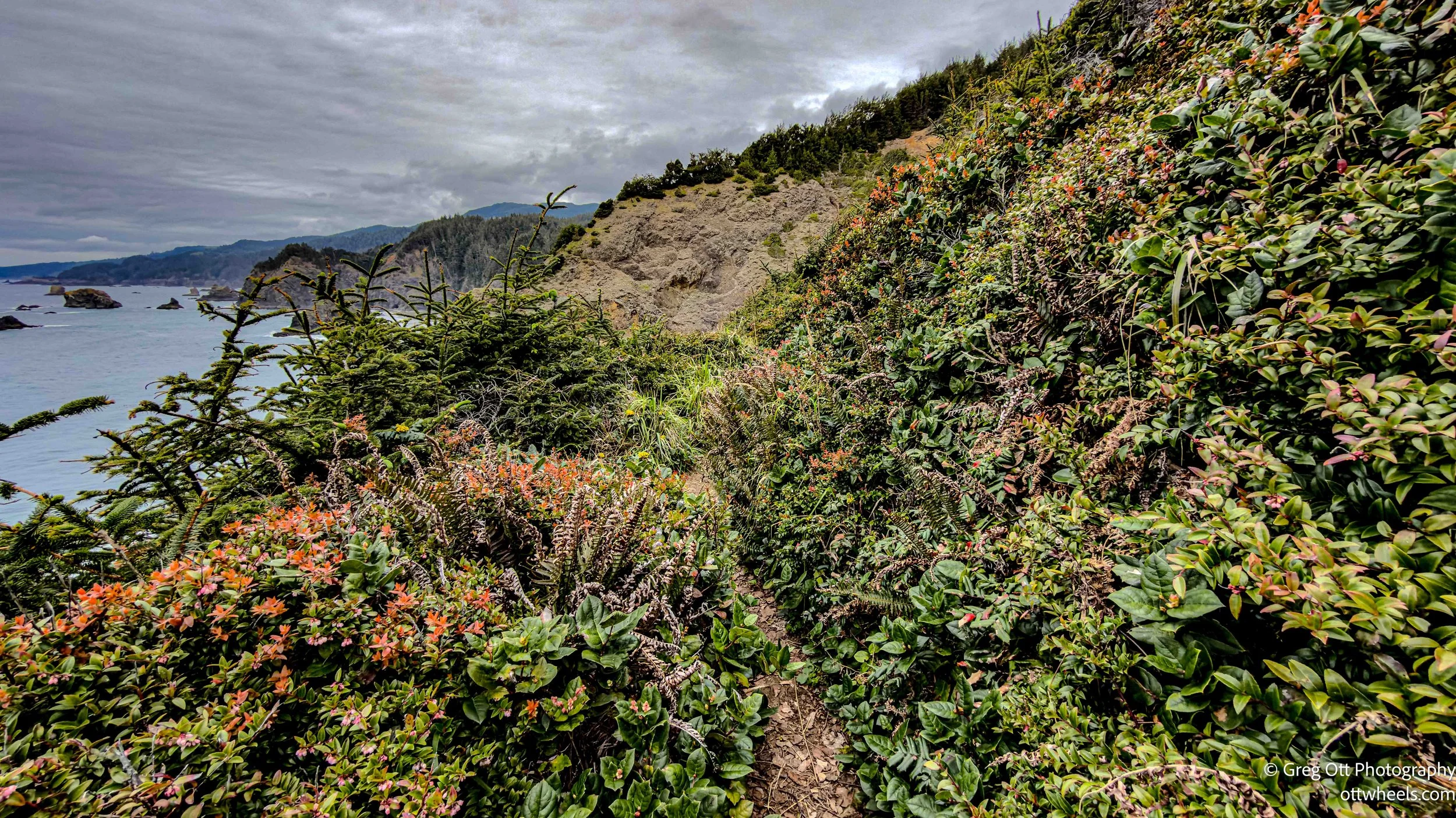
As the trail opens up, you’re suddenly a couple hundred feet above the ocean. The views are immediate—rugged coastline, waves crashing below, and a natural arch carved into the rock that you can see clearly from above. It’s one of those spots where you stop longer than you planned.
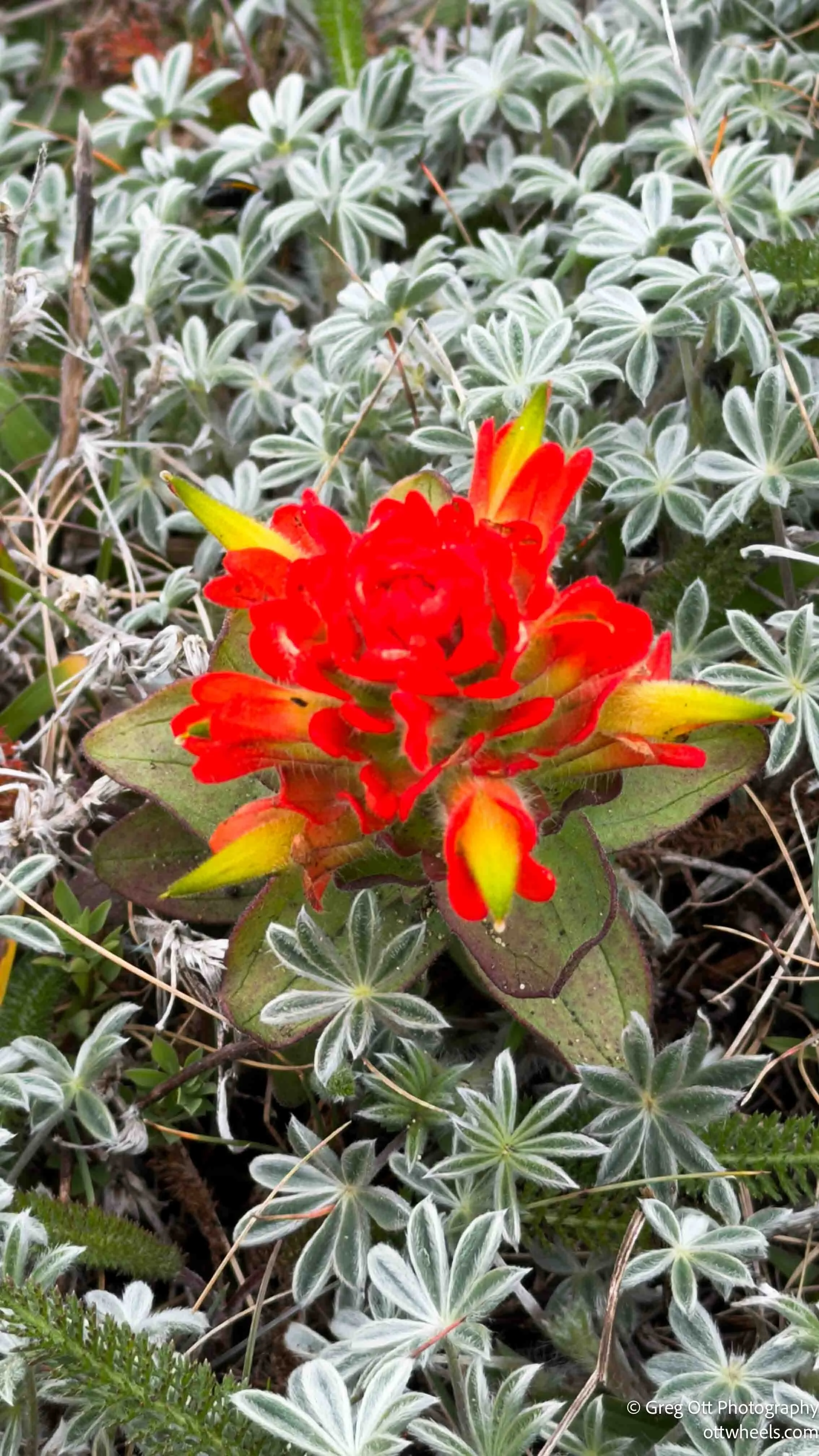
The trail itself keeps changing. One minute you’re in dense forest, the next you’re out on exposed cliffs. Wildflowers line the path, some of them unlike anything I’ve seen before. One in particular was so bright orange it almost didn’t photograph correctly.

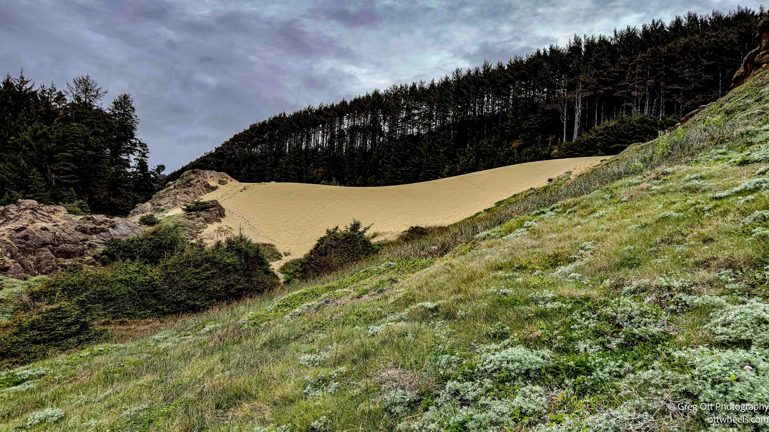
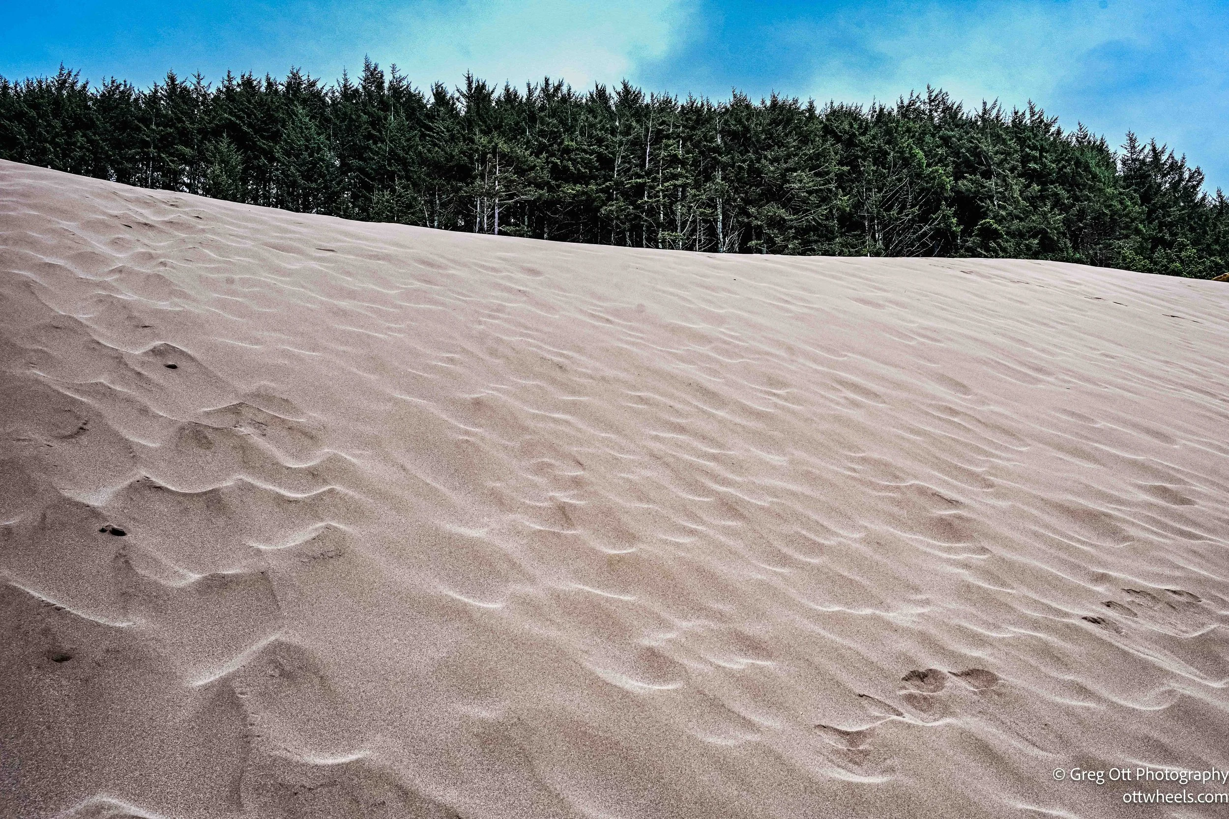
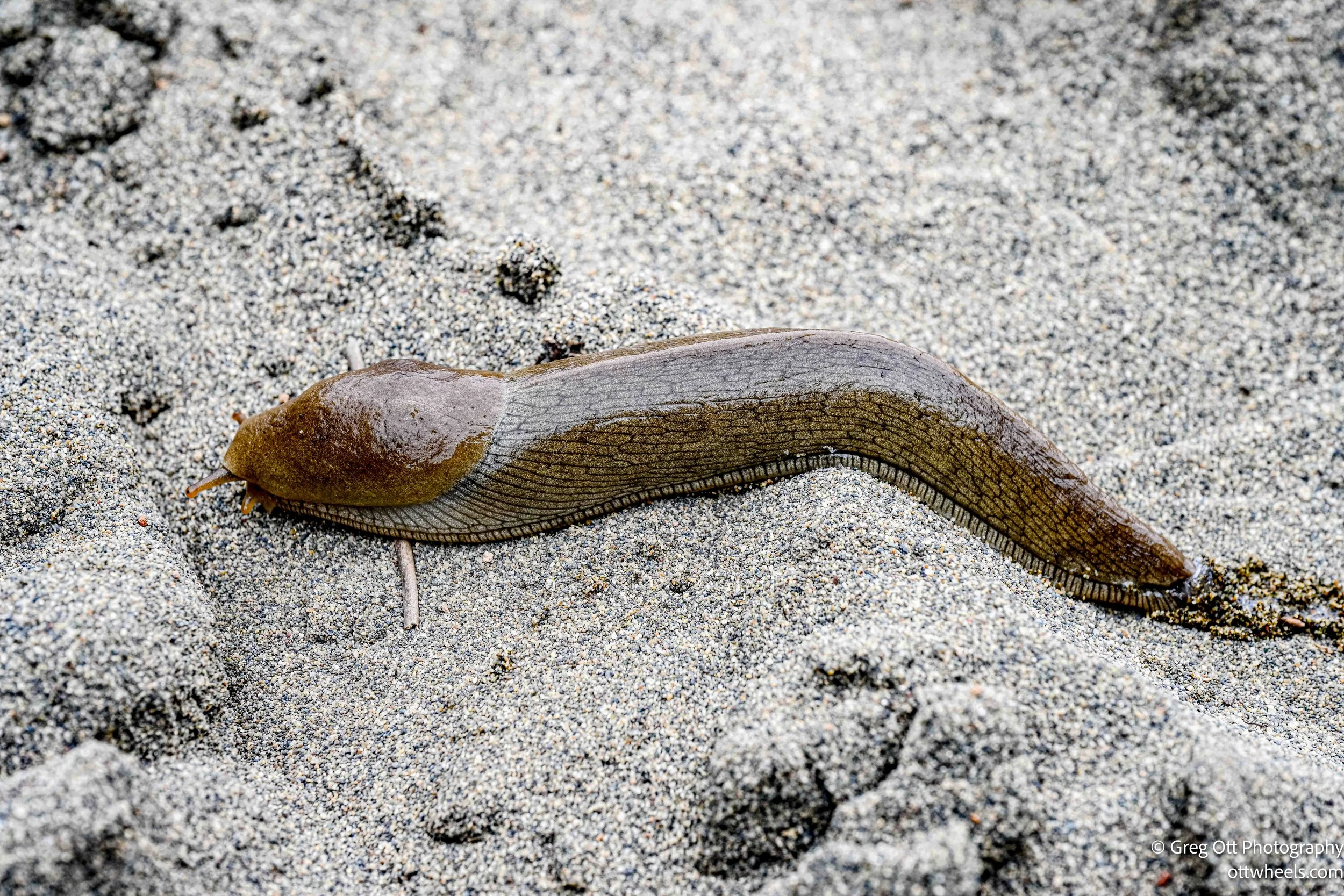
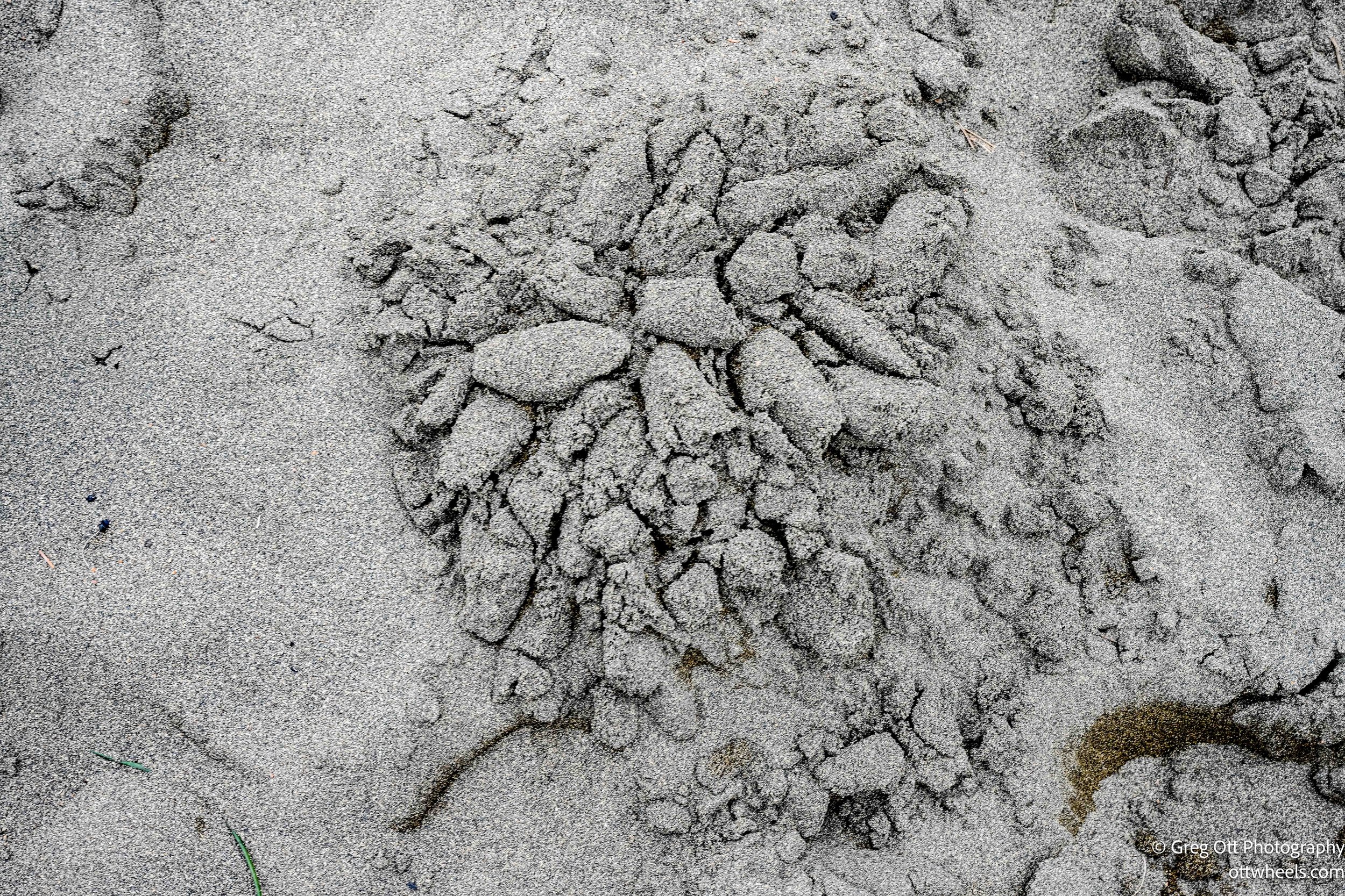
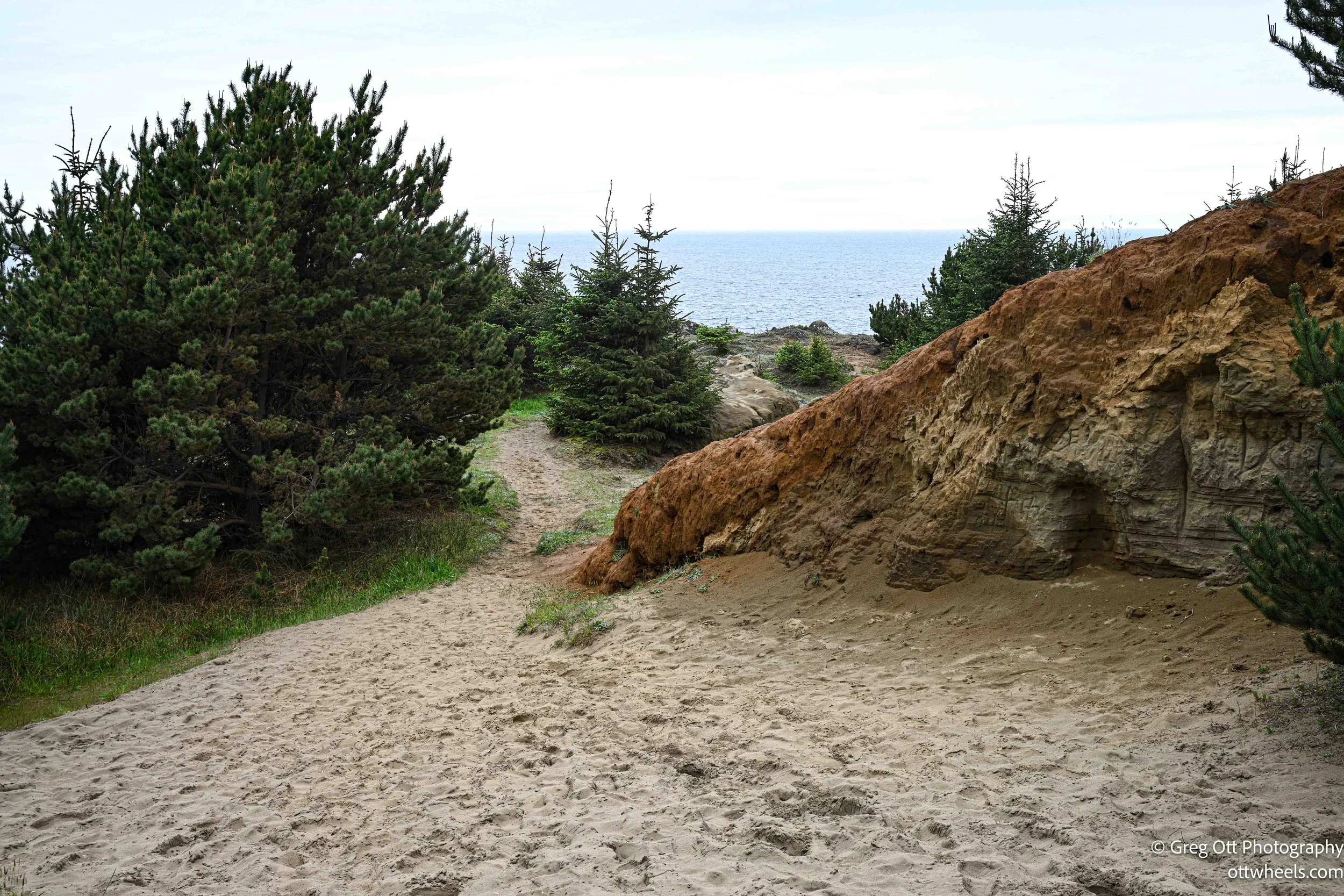
Then there’s the sand. Not on the beach—on the hillside. A full dune climbing up the slope. It’s steep, loose, and awkward to walk on, and it doesn’t feel like it should be there. There was a huge slug finding its way across the sand and nearby a strange formation perhaps left my a group of slugs.
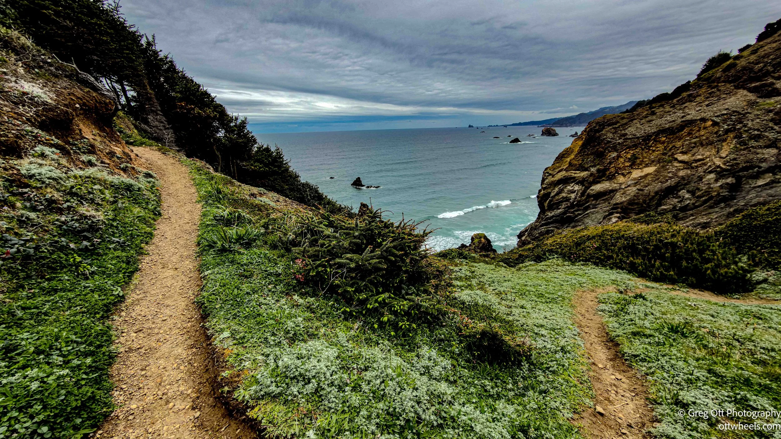

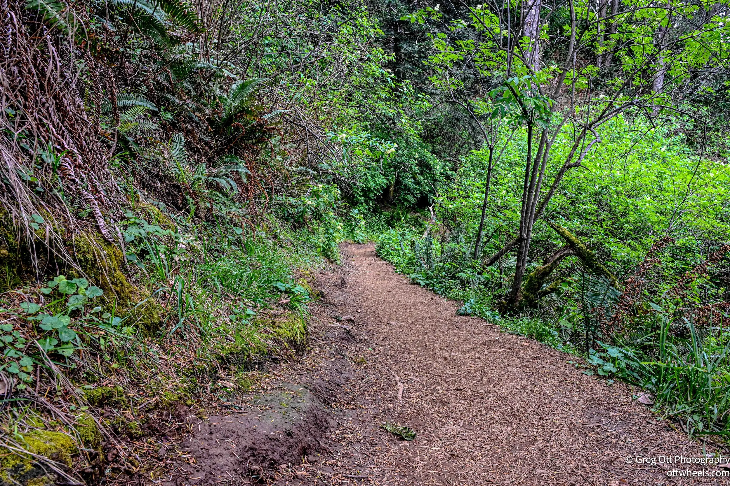
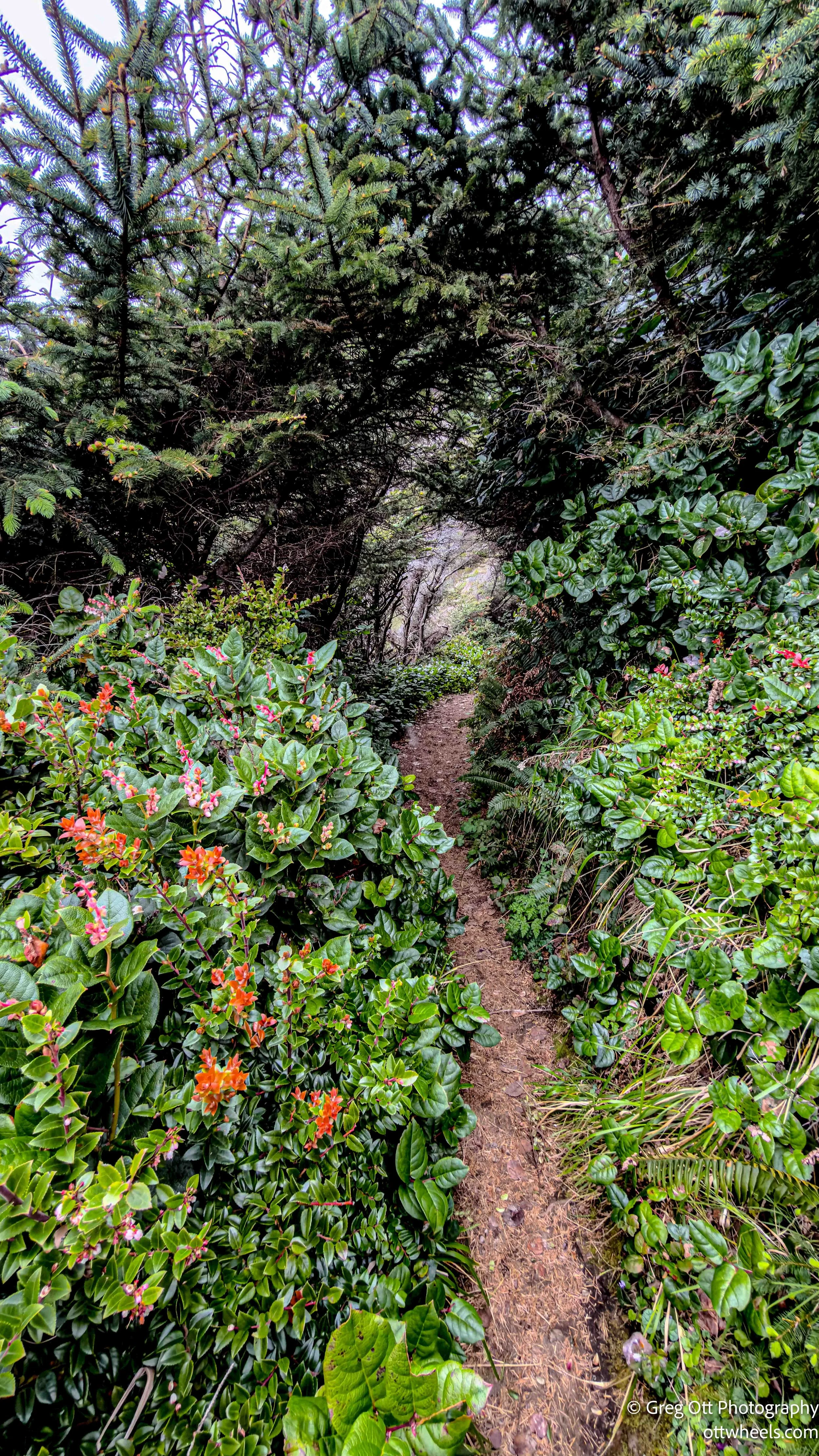
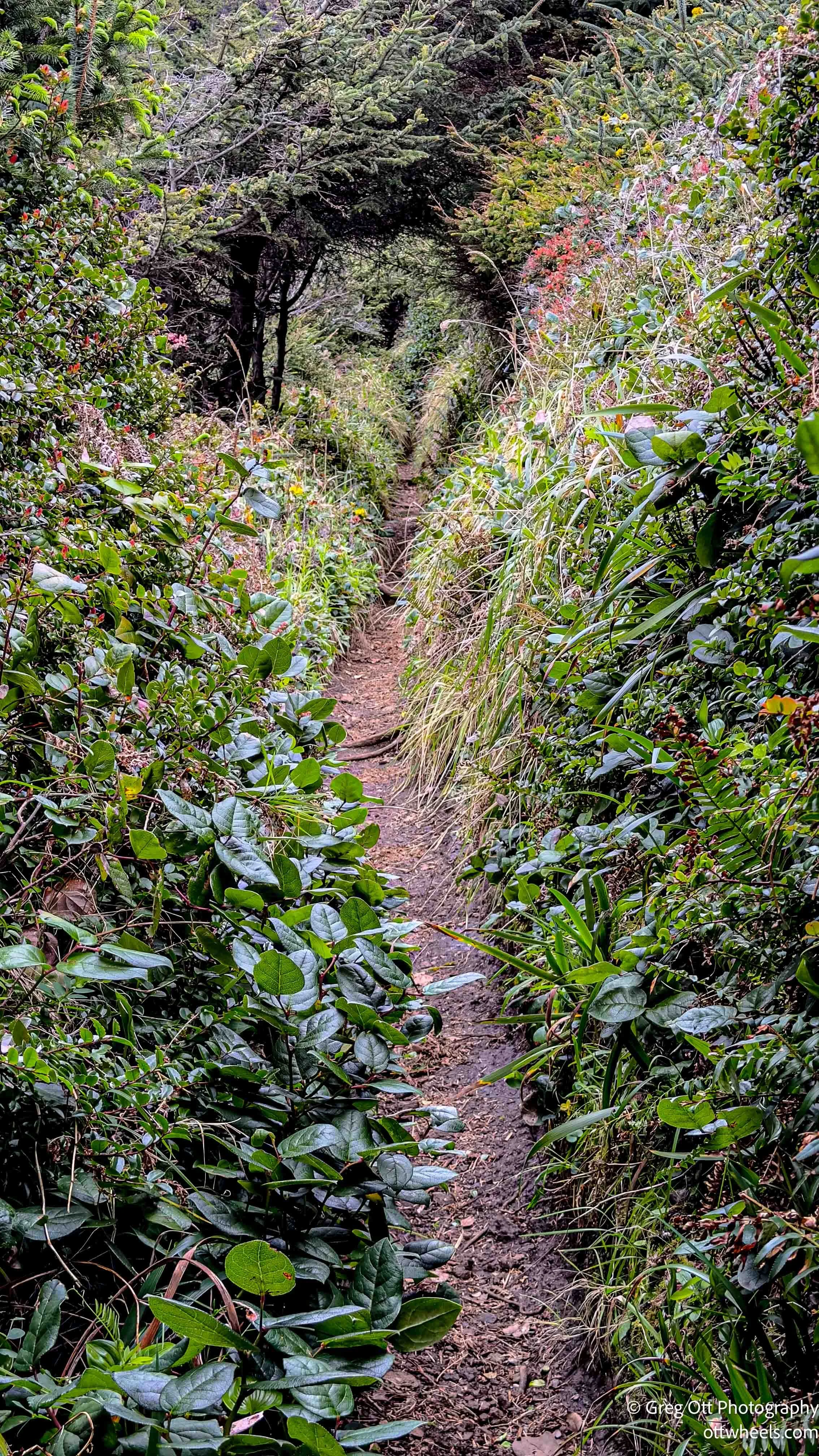
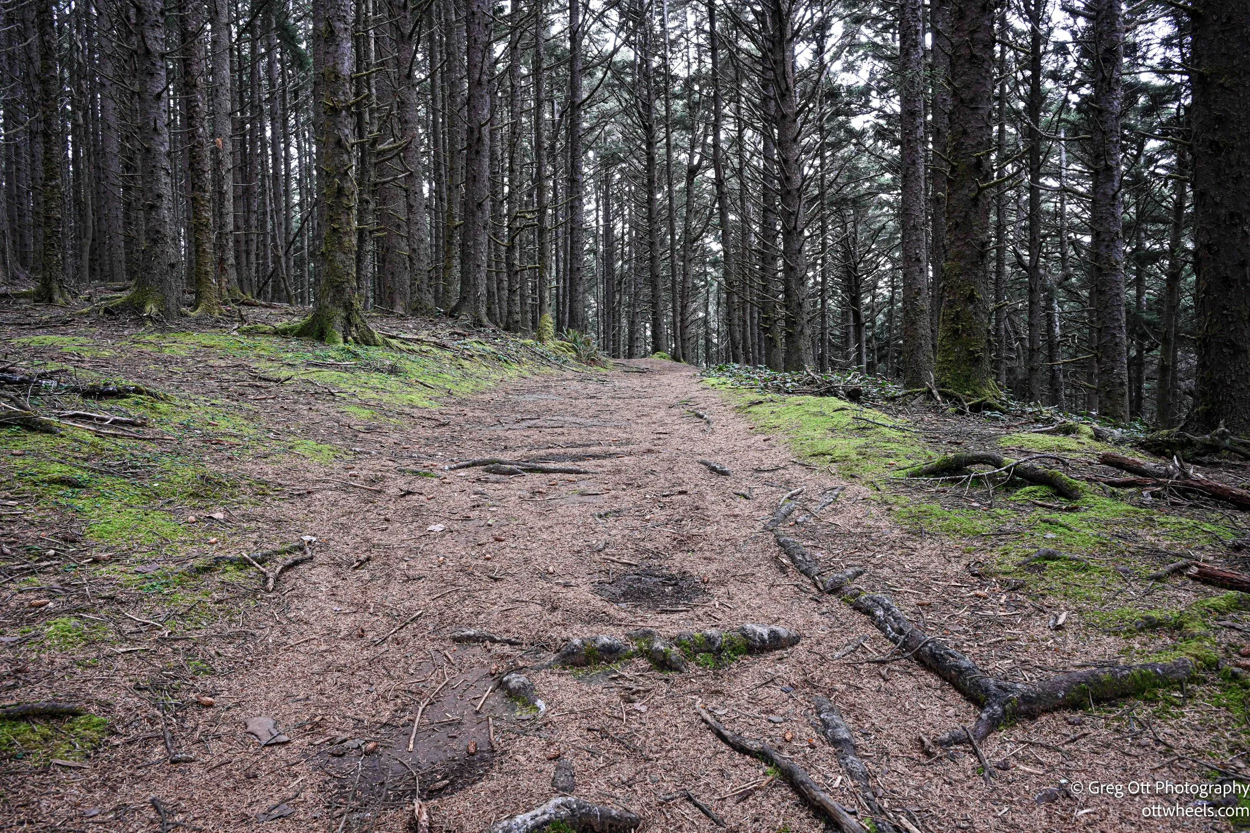
Further along, the trail narrows. Sections are cut into the side of the hill, with brush growing overhead and closing in around the path. It feels like walking through a tunnel that the landscape is slowly trying to reclaim. You can hear water running below you—streams moving through the canyon—but you rarely see them through the thickness of the growth.

The ending changes the tone again. What started as an easy walk turns steep and uneven. Roots, loose dirt, and narrow footing force you to pay attention.
At one point, I passed a tree with a large hole beside it, almost like a well. Looking down, there was a fast-moving stream about 12 feet below. No sign, no warning—just there. It makes you slow down a little and stay aware of where you’re stepping.
End of the Day
The weather started to shift. It cooled off, and a light drizzle moved in—just enough to feel refreshing. I found a rural spot near Hunter Creek outside of Gold Beach. It was raining when I fell asleep. A much better soundtrack than the night before.