Kuskulana Bridge
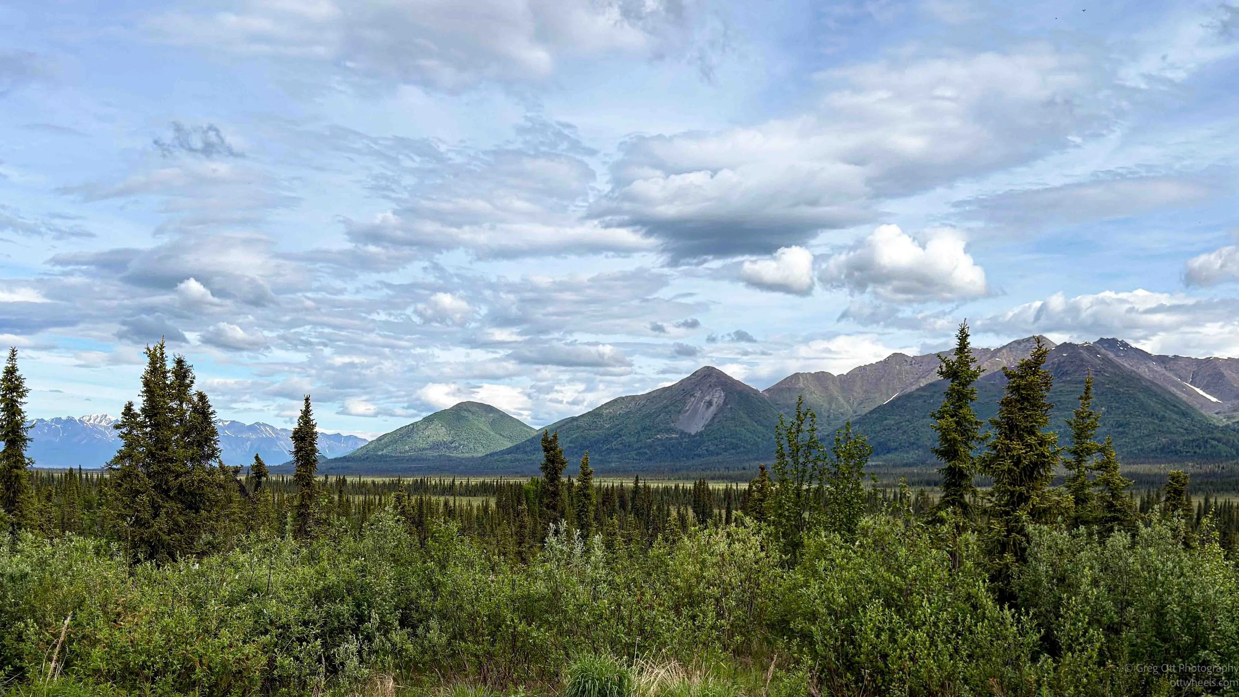
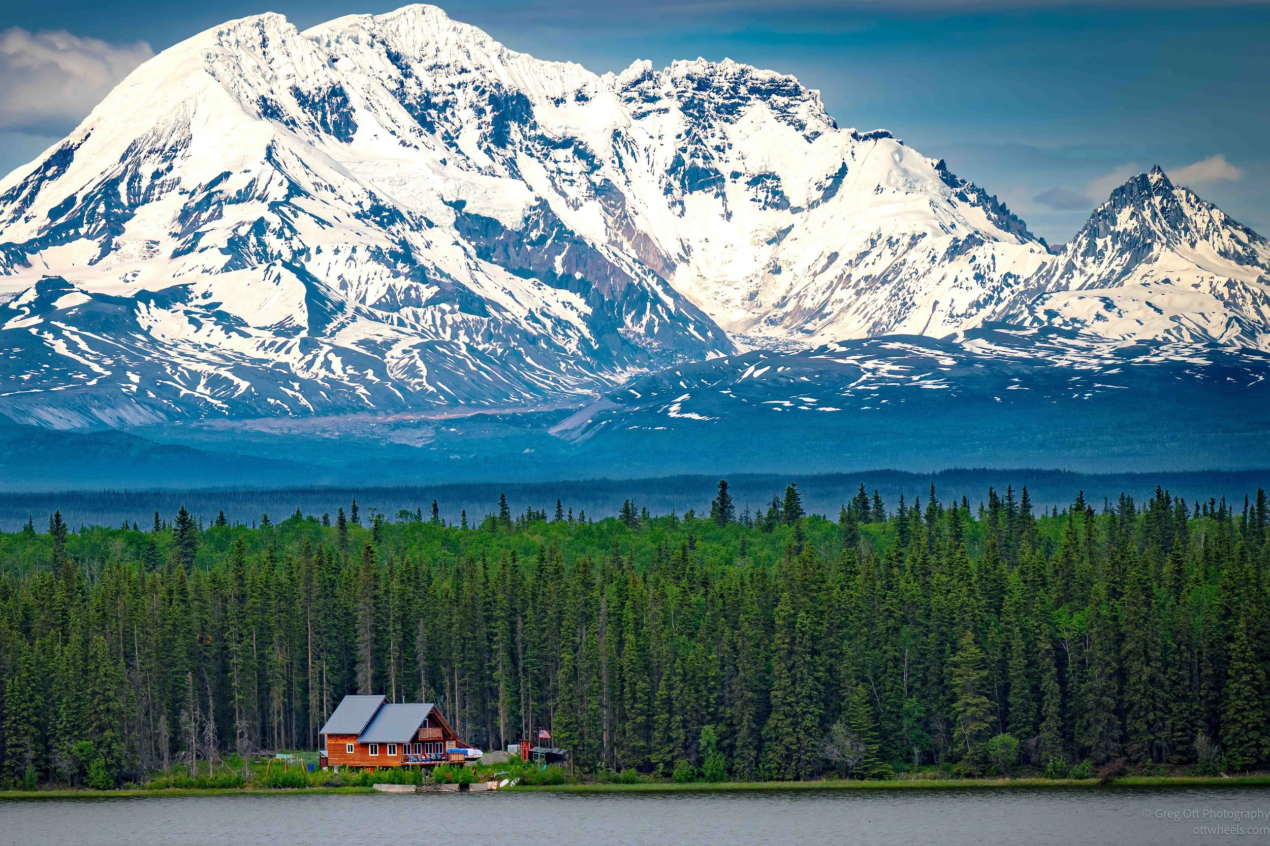
There was no traffic on Nabesna Road last night. The pullout near the Caribou Creek Trail had been absolutely quiet. Before turning in, I stepped outside and took in the view. Mountains rose behind me while a lake sat in the valley below. It was one of those places where there was nothing to hear but the wind and the occasional bird.
My itinerary called for a visit to an old mining area that included a mill, power plant, and a concentration of buildings that once made up a larger mill complex. Google Maps, however, had other plans. It first sent me in the wrong direction, then corrected itself, and eventually delivered me to a quarry where gravel for the roads is produced. The quarry happened to be directly across from the ranger station, so I stopped in to see the ranger I had spoken with the day before. She remembered me immediately. When I told her where I had spent the night, she smiled and said it was her favorite area in that portion of the park.
I then asked about the mine I had been trying to reach. Her answer changed my plans. She said she would not recommend attempting it right now. The road was nearly impassable, the hike would be difficult, and the area itself remains heavily contaminated from decades of mining activity. Lead, arsenic, mercury, copper, and other heavy metals are still present in the soil and water. Cleanup efforts involving both the private landowner and the National Park Service continue today. That was enough for me. Time for another change of plans.
Instead of continuing deeper into the Nabesna area, I jumped ahead to the next day on my itinerary and decided to head for the South District of Wrangell–St. Elias National Park and the McCarthy-Kennecott area. The ranger confirmed the road was open, although rough in places. It would take about three hours to get there. The drive south was mostly uneventful. I stopped for gas several times and pulled into one station to make a sandwich and pour another cup of coffee. Near Glennallen, where several highways converge, I found another gas station packed with vehicles. Every pump seemed occupied. After waiting my turn, I managed to squeeze in, add about five gallons, and continue south.
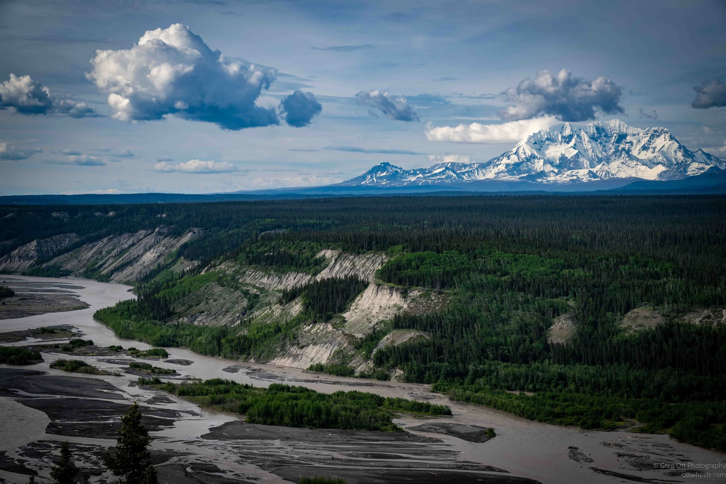
A few miles later I stopped at the National Park Service office just off Route 4. The office officially closed at 5:00 p.m., but when I arrived at 4:50 the staff were already outside letting visitors know they were done for the day. One ranger waved me over and said, "We're closed now. You can come back tomorrow at 9:00." Fair enough. As I continued toward Chitina, I found myself stopping frequently. The landscape kept demanding it. Every few miles there seemed to be another overlook, another mountain range, or another river valley stretching off into the distance.
South of Glennallen the highway begins climbing through the mountains. At one point the views became spectacular, but there were almost no safe places to pull over.
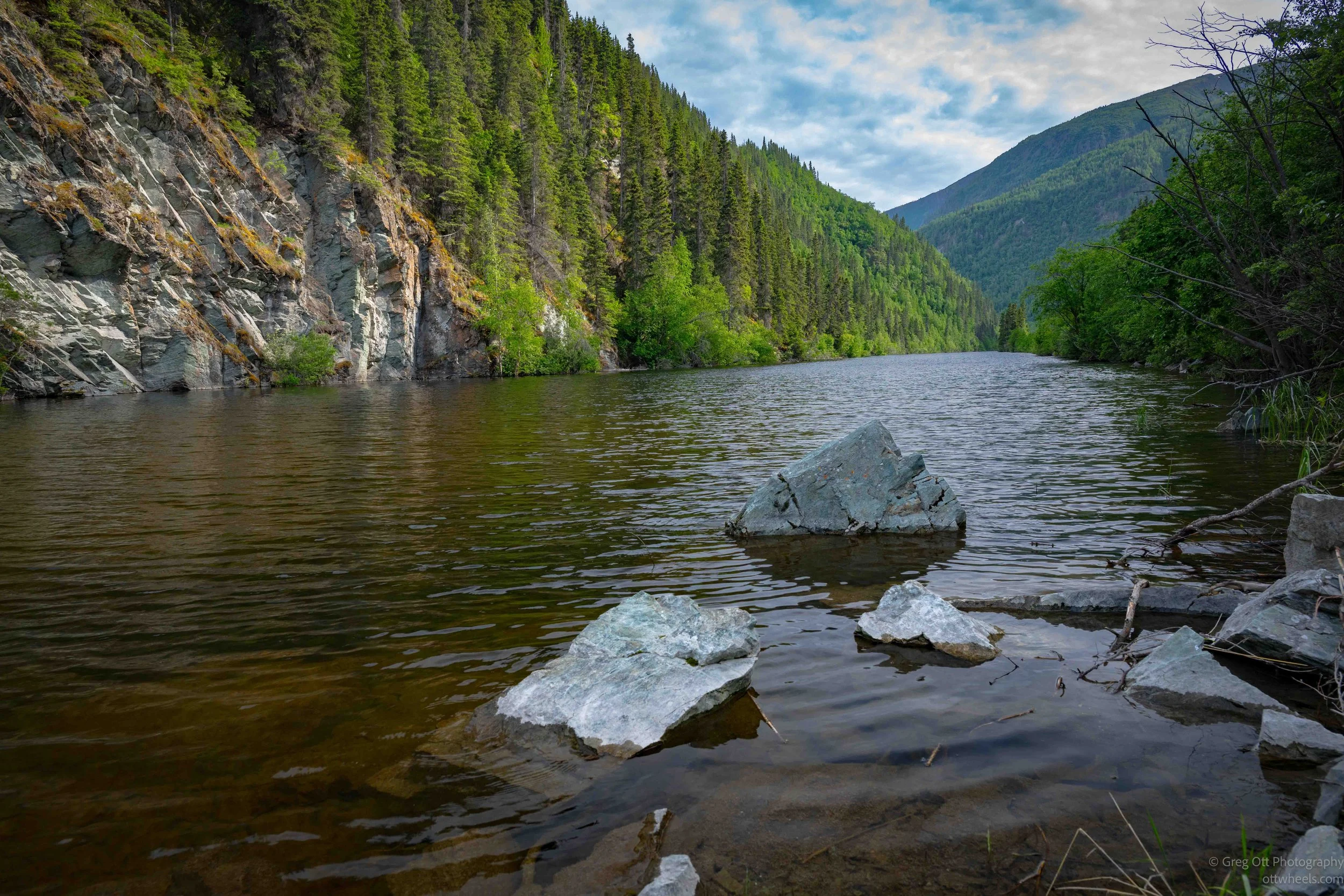
The road wound upward through broad valleys and eventually brought me to Three Mile Lake, just north of Chitina. The narrow lake hugs the base of the surrounding mountains, and I stopped for a few photographs before continuing.
Chitina is a small town with a National Park Service office, a few historic buildings, and a restaurant serving Copper River salmon. A large turnout near town contained park information displays and plenty of RVs. The food truck outside the restaurant was doing a brisk business, and I was tempted to stop for dinner. The line was long, though, and the wind had picked up considerably, so I kept moving. I spent a few minutes reading the interpretive signs before continuing toward McCarthy.
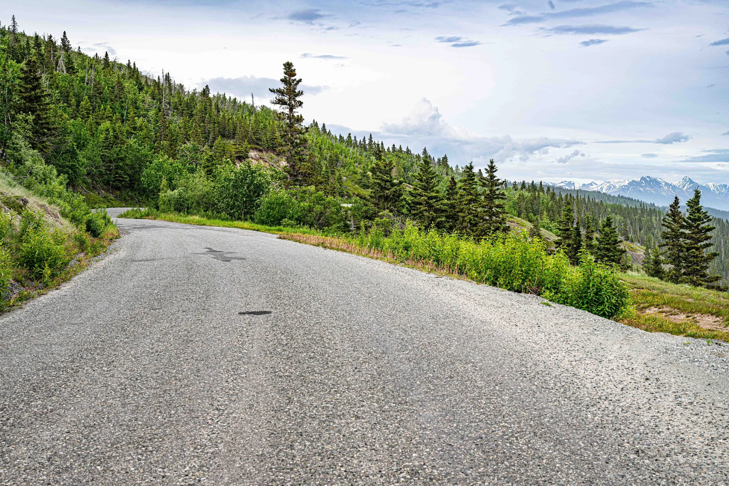
Not far beyond town, I reached the large entrance sign for the McCarthy Road. The sign reads almost like a warning label. Bring enough food. No services until McCarthy. Watch for railroad spikes. Expect rough roads. Observe the 35 mph speed limit. Beware of falling rocks. It almost makes you wonder if you should turn around. The pavement ended shortly after the sign. The road narrowed and became obvious evidence of its former life as a railroad bed. The old Copper River and Northwestern Railway once ran through here, carrying copper ore from Kennecott to the coast. Today, vehicles follow much of that same route.
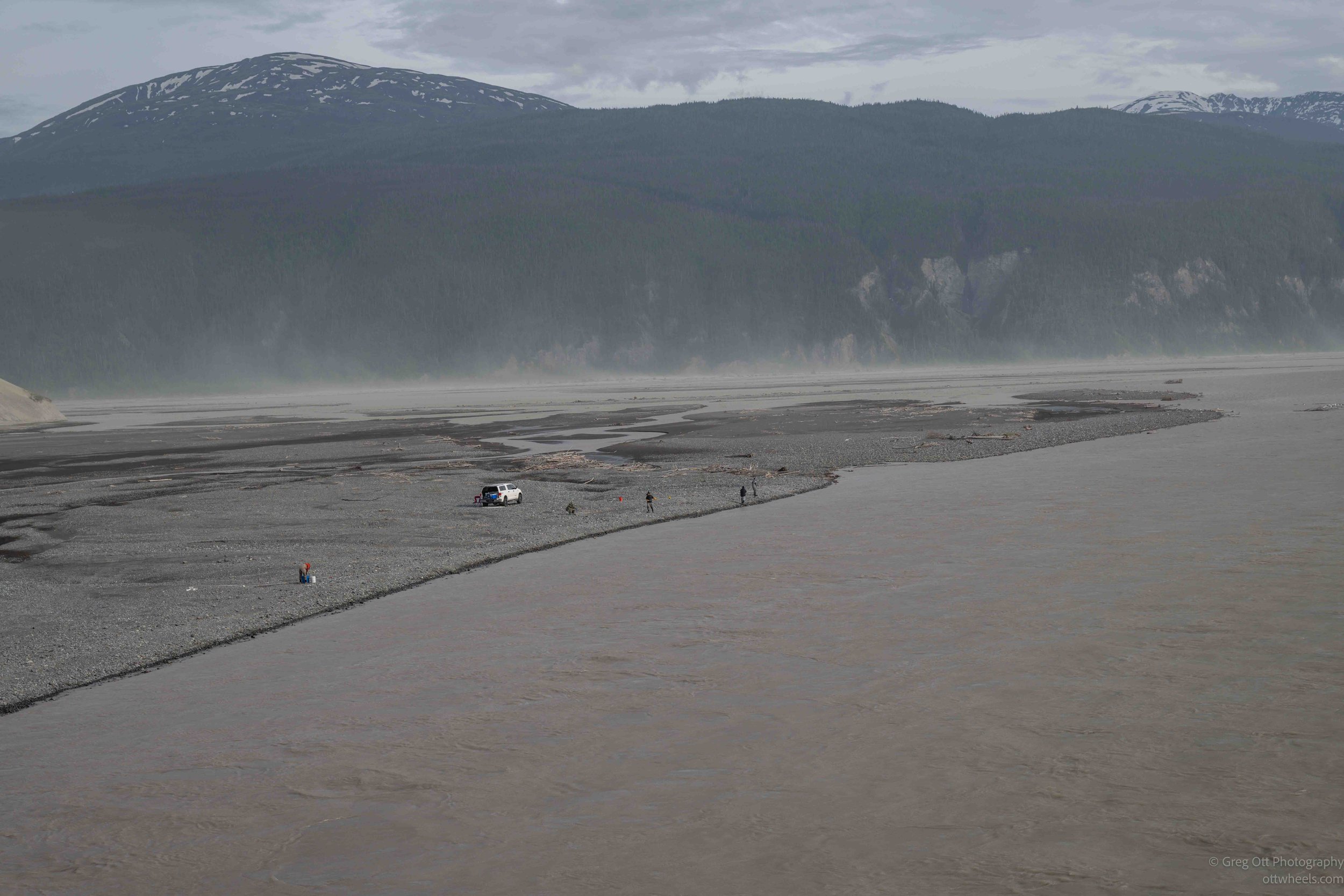
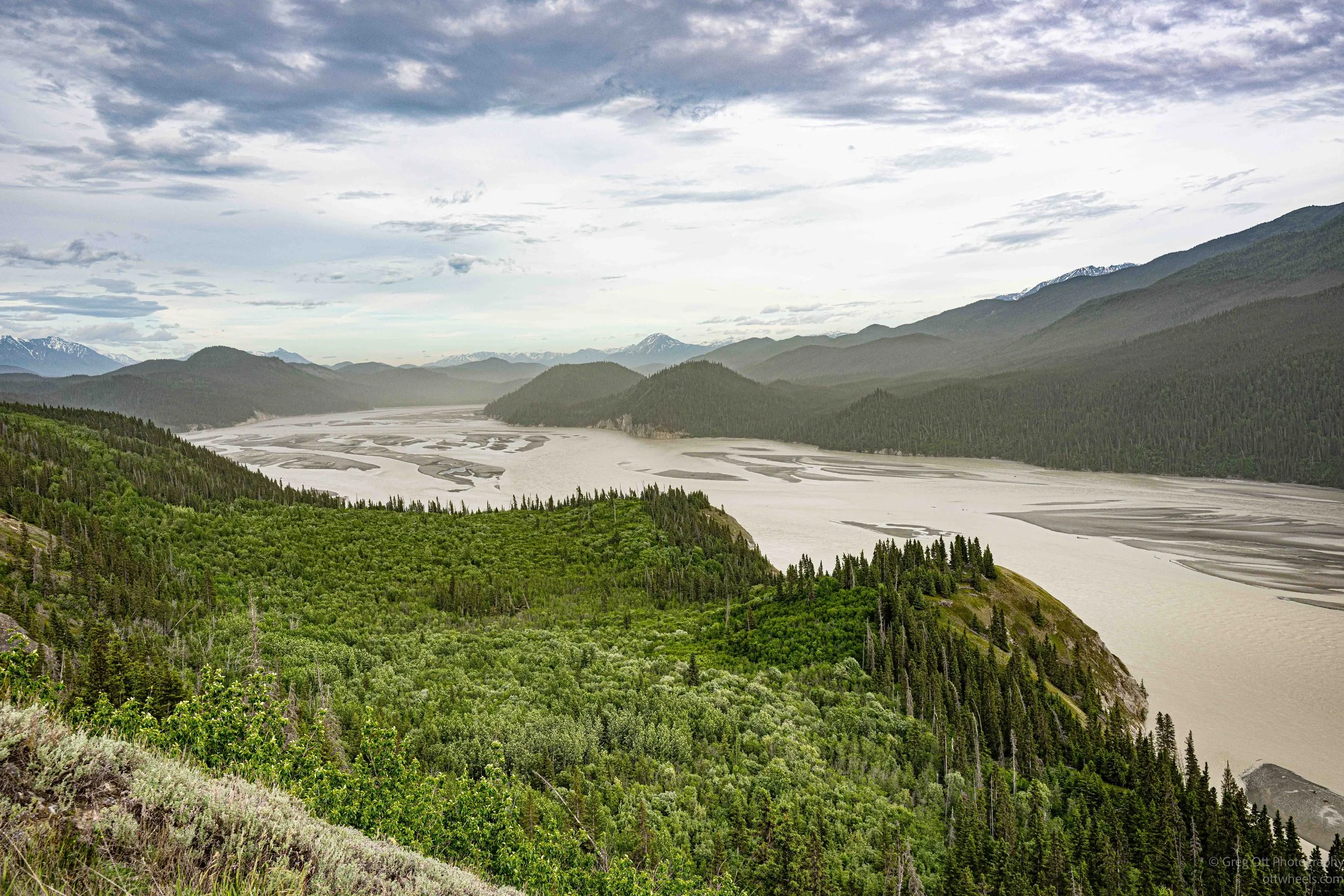
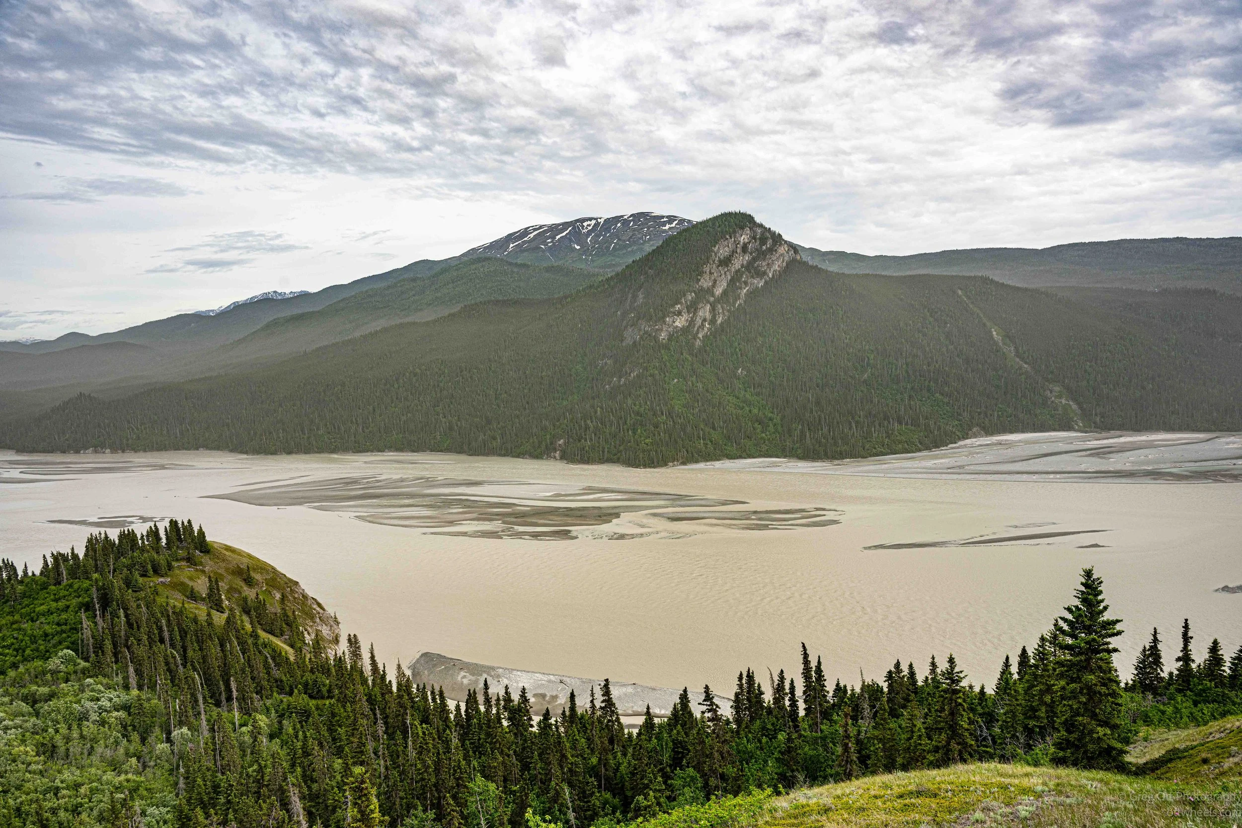
A few miles later I reached the Chitina Bridge, spanning the confluence of the Copper and Chitina Rivers. I pulled over and walked onto the bridge to photograph the activity below. Fishermen lined the riverbanks, spread out along the muddy water. Most were likely targeting sockeye salmon, known locally as reds, with a few king salmon mixed in depending on the timing of the run.
What really caught my attention, though, were several strange structures rotating slowly in the current. At first they looked like oversized ferris wheels floating in the river. They were fish wheels, a traditional harvesting method still used by permitted subsistence fishermen. The river current turns large basket-like paddles that continuously scoop fish from the water and deposit them into holding pens. Once installed, the river does most of the work. The wheels turn day and night, harvesting salmon as they push upstream.
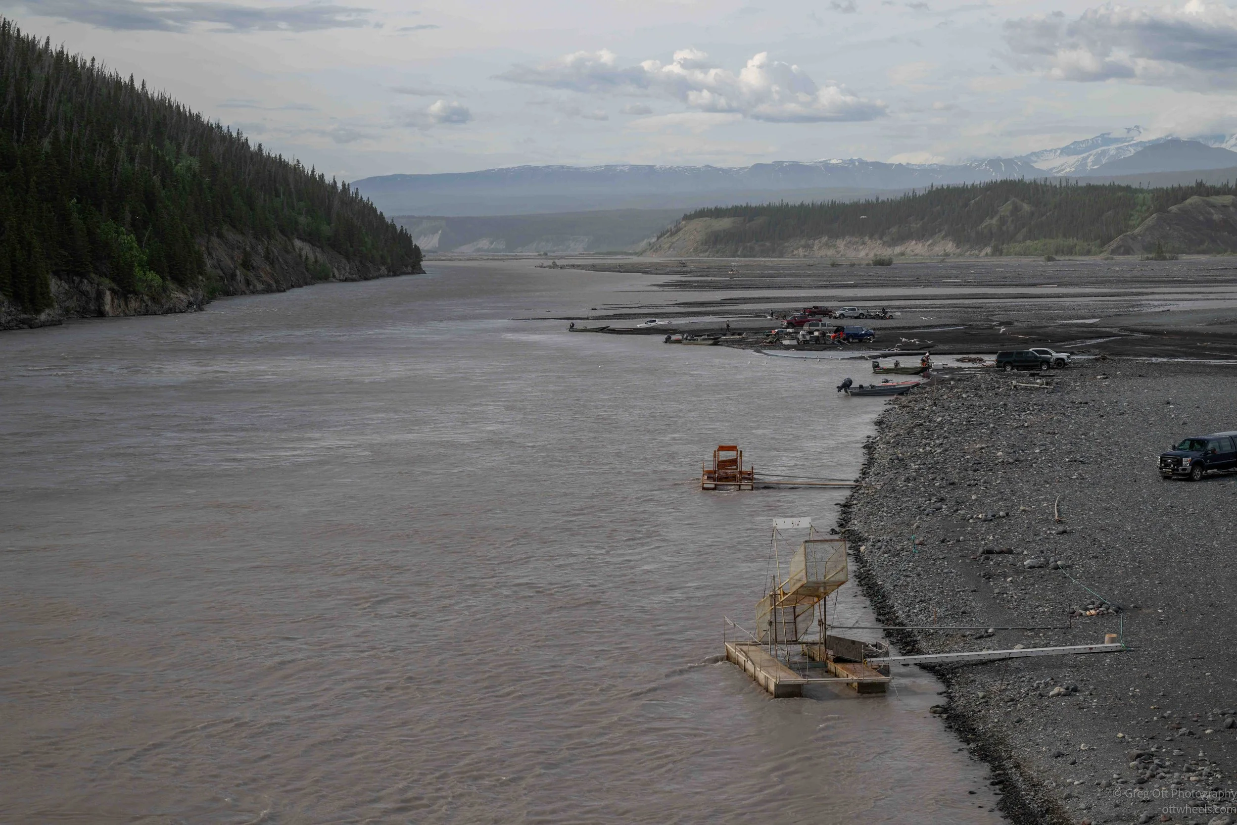
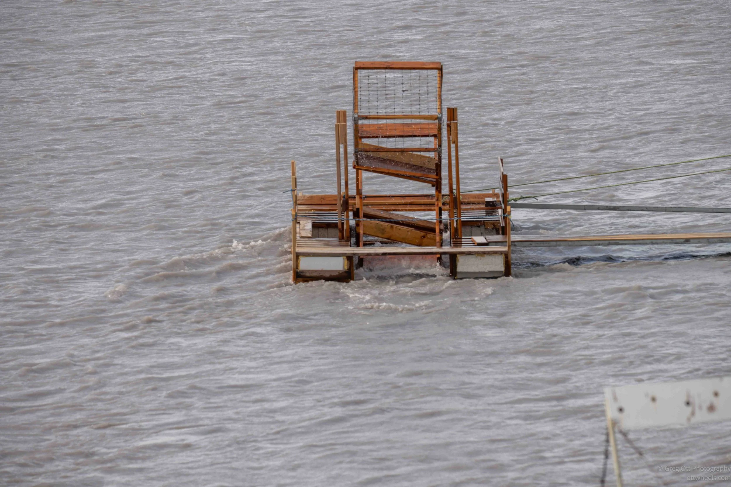
The Copper River is famous for both its salmon runs and its subsistence fishing traditions. Looking down from the bridge, with dipnetters working the shoreline and fish wheels turning steadily in the current, it felt like I was watching a scene that has played out here for generations. I sat there for quite a while. I saw people land fish with nets and rods, but I never actually saw a salmon enter one of the fish wheels. The current was fast, the water was muddy, and most of the action happened below the surface.
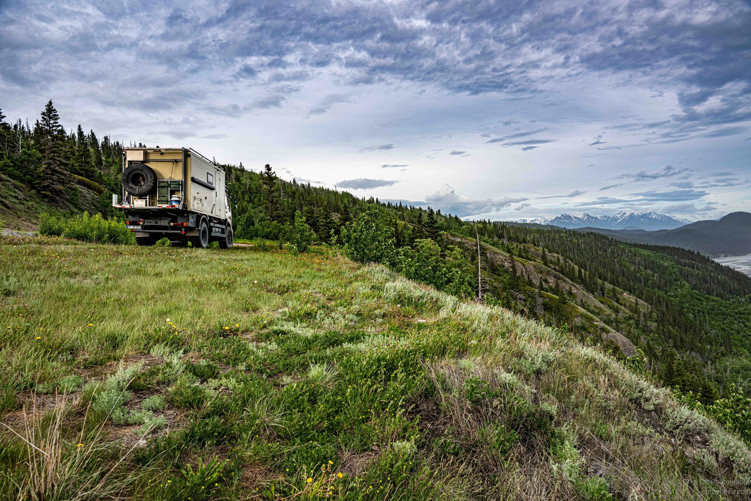
Beyond the bridge, the road became noticeably rougher. I slowed down and settled into a comfortable pace. The scenery was impressive, although increasing wind and moisture in the air reduced visibility at times. During one stop I noticed a massive Mercedes expedition vehicle parked at an overlook. It carried German license plates. I had seen another similar vehicle near Tok a couple of days earlier and wondered if they were traveling together.
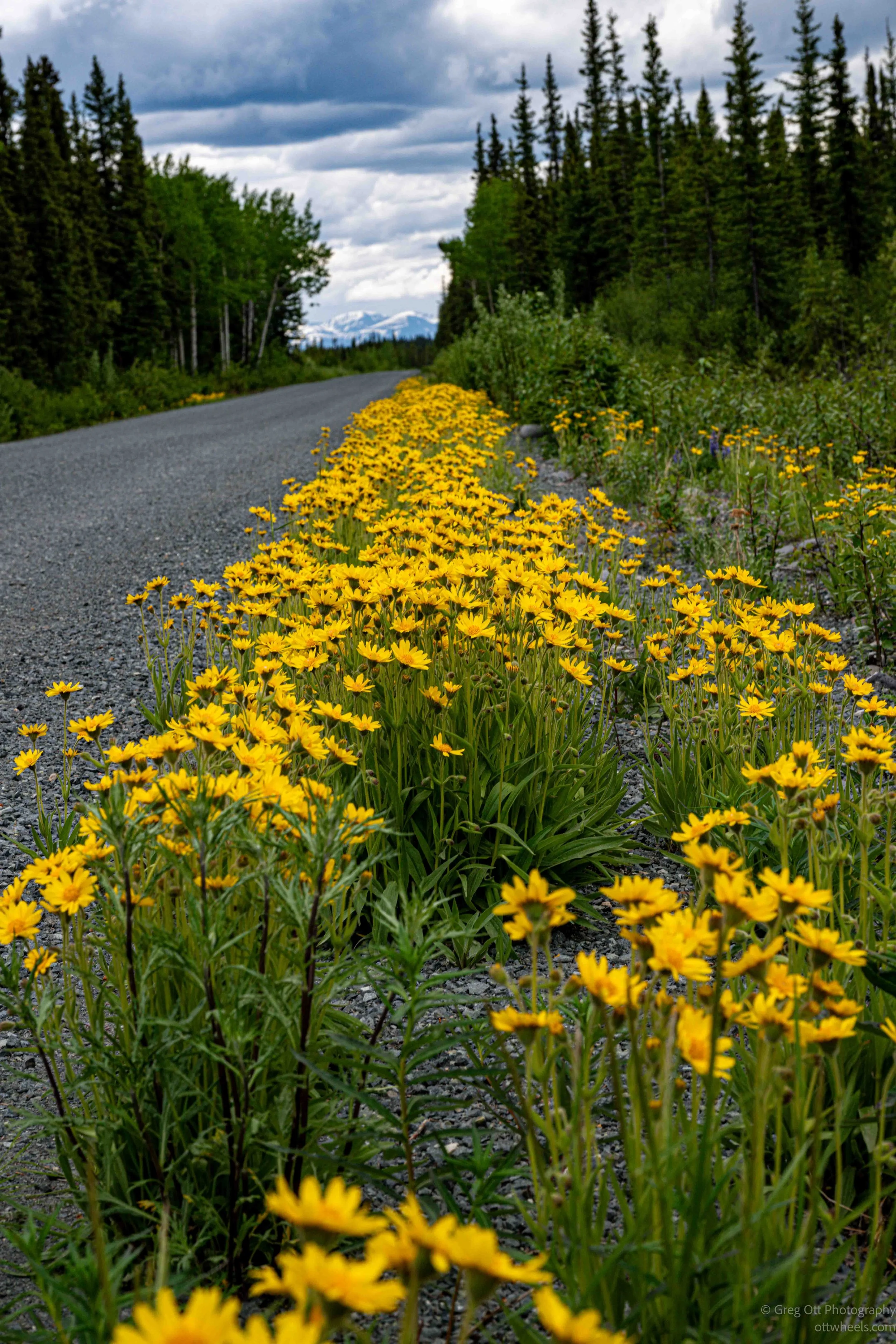
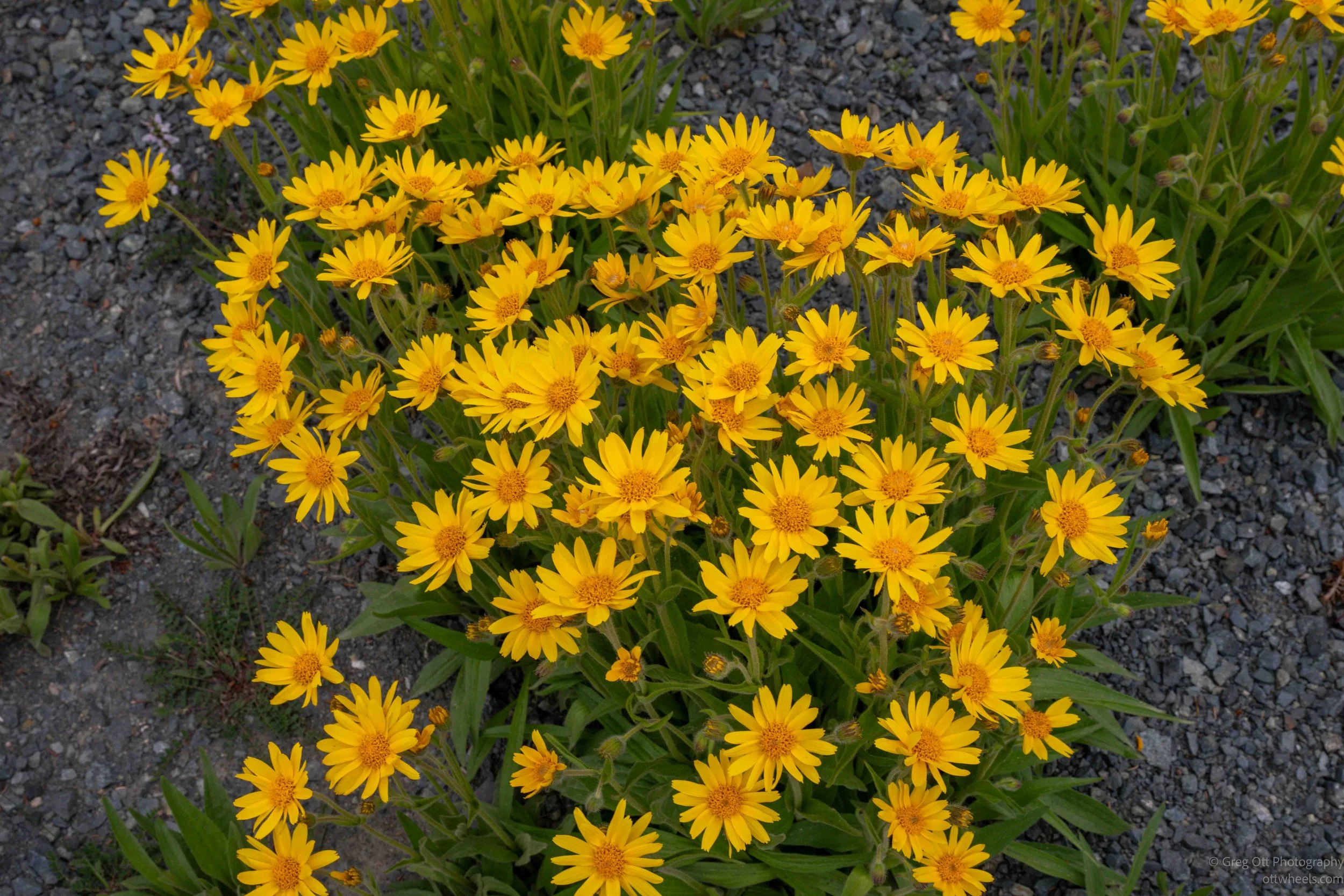
While walking around the overlook, I noticed dandelions everywhere, which brought back memories. My mother occasionally made dandelion salads when I was growing up. The leaves are surprisingly good mixed with other greens such as arugula, spinach, or radish sprouts. They're bitter on their own but work well with a balsamic dressing. Looking at the field around me, I briefly considered gathering some for dinner. These certainly hadn't been sprayed with lawn chemicals. My father had his own use for dandelions. He made dandelion wine. I remember trying it once and deciding that was enough dandelion wine for the rest of my life.
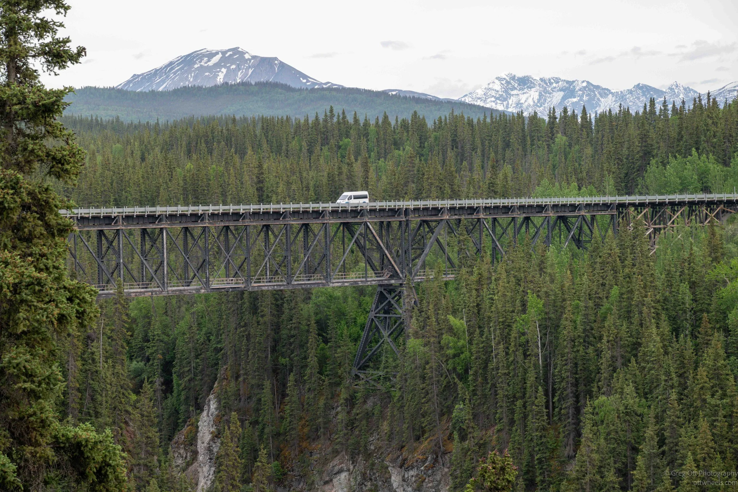
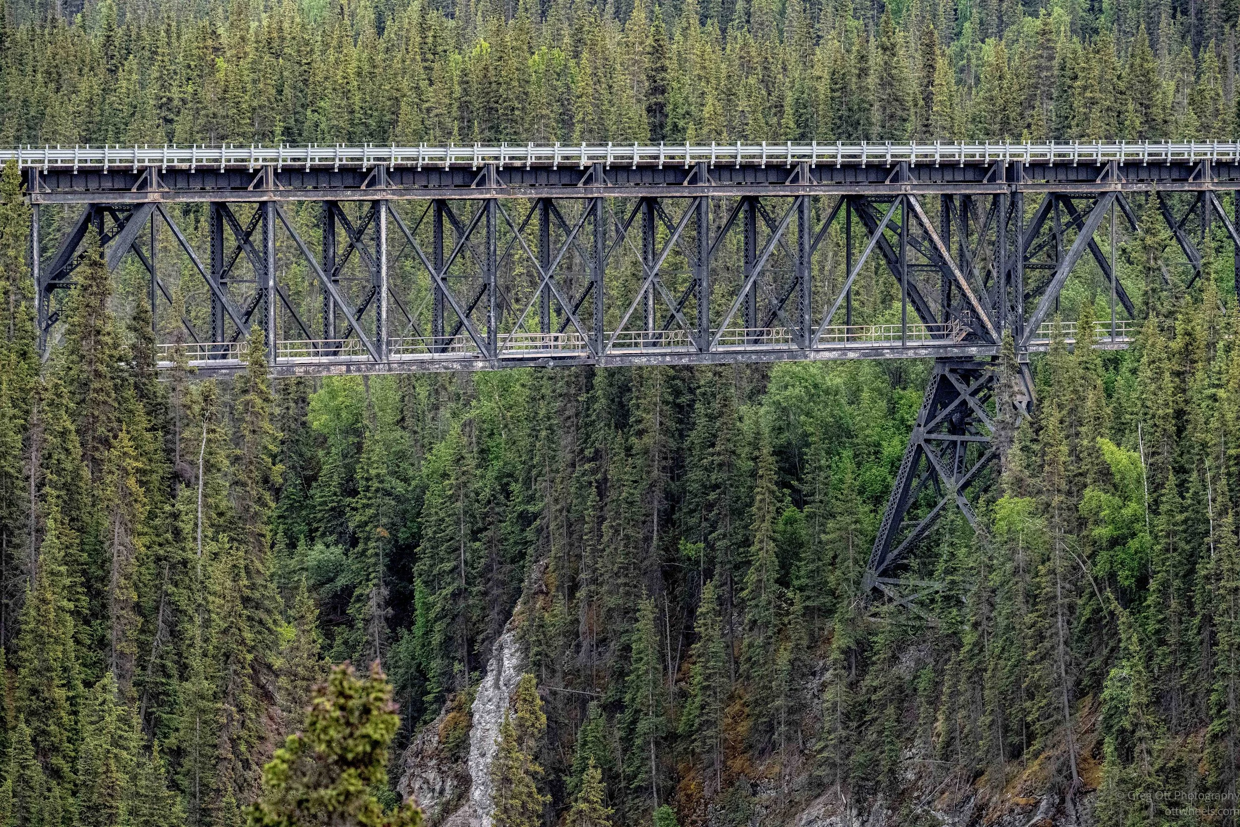
Eventually I reached the Kuskulana Bridge, which had actually been my original destination for the day. The bridge is a narrow, single-lane structure suspended 238 feet above the Kuskulana River. Built in 1910 for the Copper River and Northwestern Railway, it carried trains serving the Kennecott mines. Construction took place during brutal winter conditions, with crews reportedly working around the clock in temperatures approaching minus fifty degrees. The bridge was later converted for vehicle traffic. For many years drivers crossed on bare wooden decking without any guardrails whatsoever. Guardrails weren't added until a major renovation in 1988.
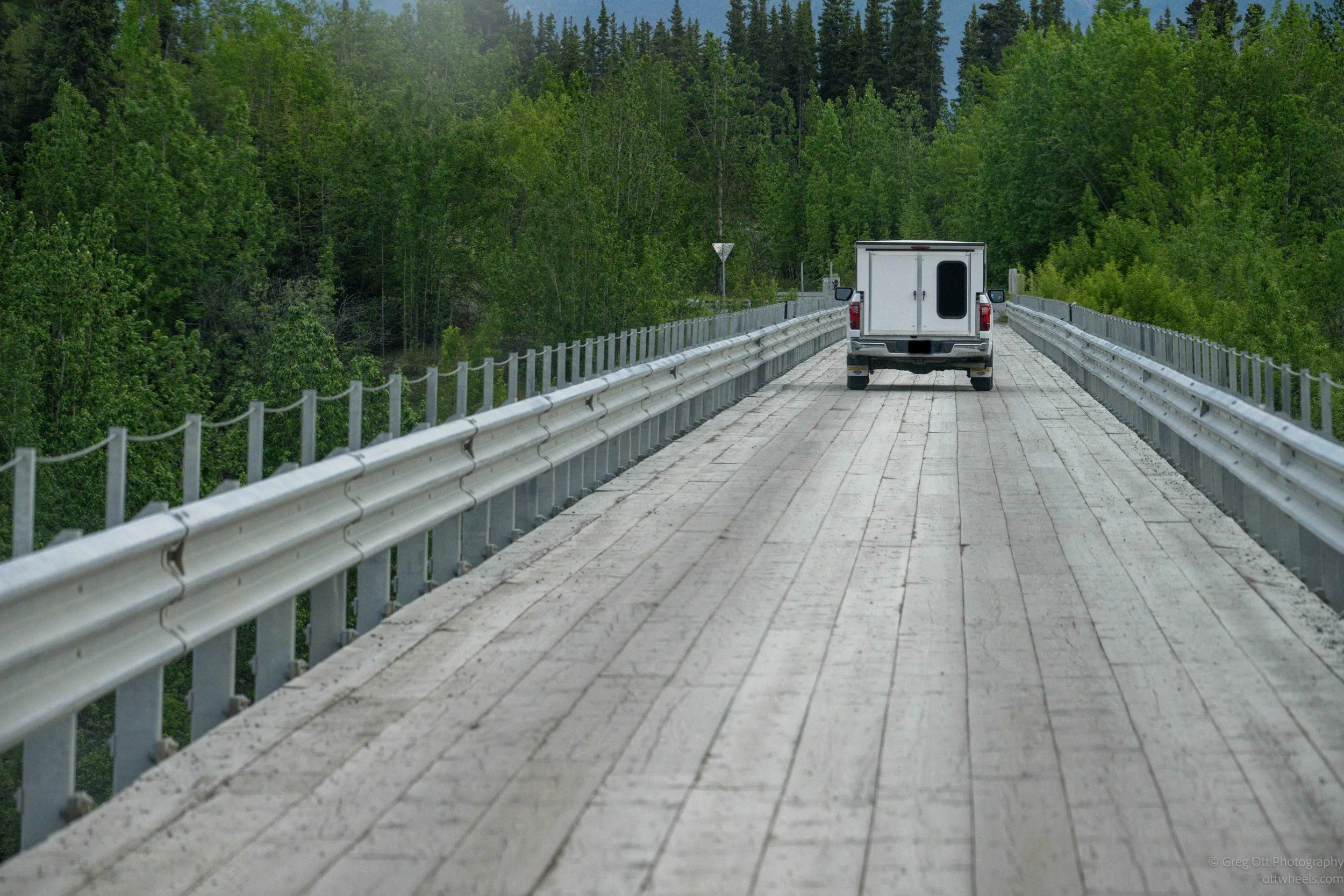
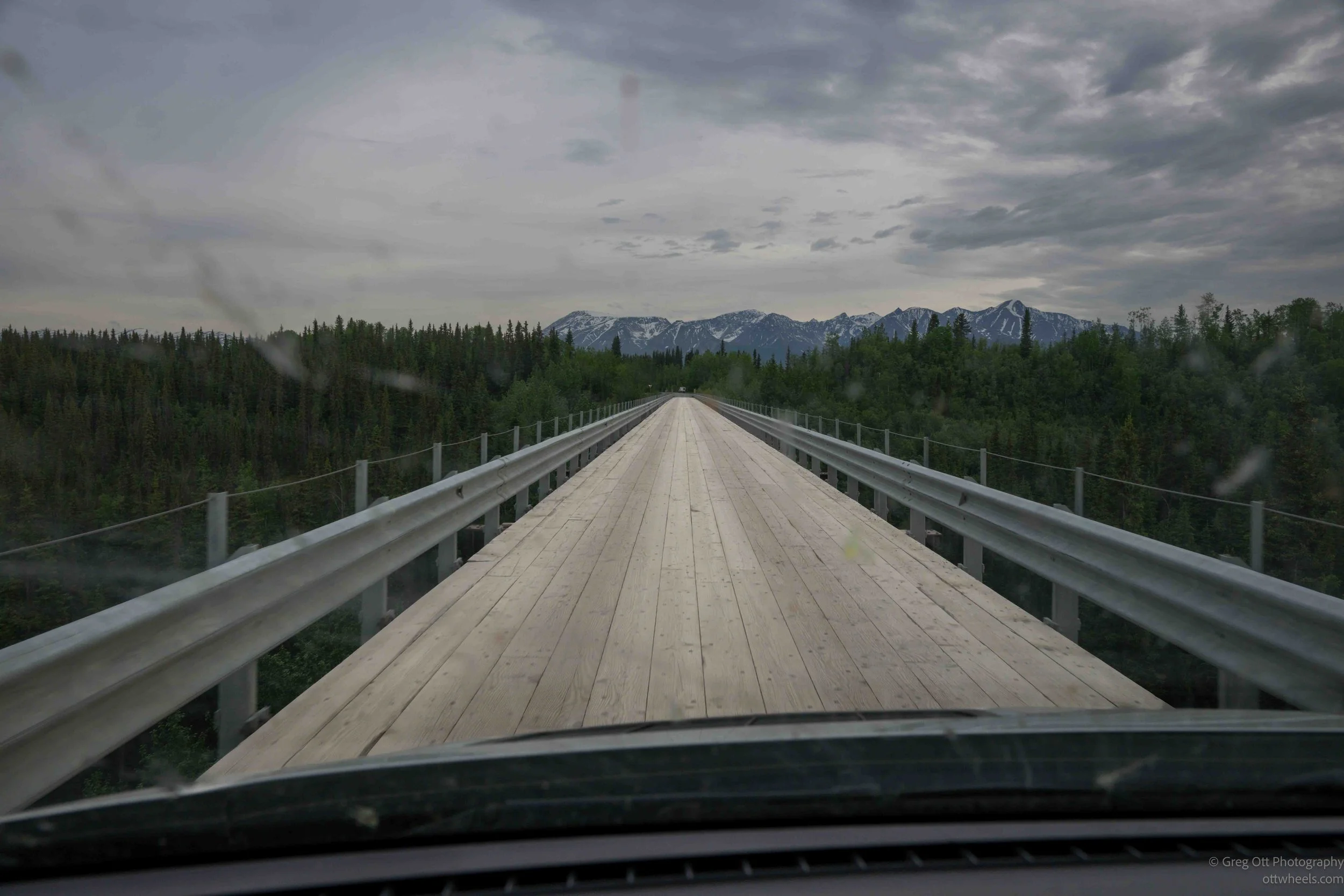
When I arrived, another vehicle passed me, and I waited for them to cross. Once they cleared the bridge, I eased forward onto the deck. The canyon dropped away on both sides and the glacier-fed river wound through the bottom far below. Even with guardrails, it gets your attention. I kept thinking about what it must have been like crossing this bridge decades ago with no guardrails and a 238-foot drop. Absolute craziness.
On the far side of the bridge is a rest area with vault toilets and interpretive displays describing the bridge's construction and history. The site was quiet, clean, level, and surprisingly spacious. In other words, just about everything I look for in an overnight stop. Online information suggested overnight parking was permitted, and there was nobody else around. I did notice a few campers farther down the road, which likely belonged to a nearby campground, but the rest area itself was nearly empty.
After the amount of driving I had done today, I didn't need much convincing. I decided this would be home for the night. It had been a much longer day than I expected, carrying me from the remote Nabesna region to the doorstep of McCarthy and Kennecott. Tomorrow, I would finally see the part of Wrangell–St. Elias that most visitors come here for.