Burned Forests and Idaho City
It was Sunday morning and the official start of the off season in the Sawtooth area. The last campground was being shut down before noon. There was no one else in the BLM area where I had parked for the night. The morning temperature was in the high 30s, and my heater was running, pumping warmth through the floor of the van. It felt good on my feet as I tucked everything back into place before moving on.
I drove to Redfish Lake and parked in a large lot about a hundred yards from the lake and walking path. There were no vehicles in sight, although a woman was walking her dog. I opened the side door and the sun came streaming in. I could feel the fresh air coming through the screen as I made breakfast.
I tried to do some writing, but it was easier to just look out at the lake and enjoy the silence. I was cherishing the calm before heading toward Boise and the Idaho State Capitol.
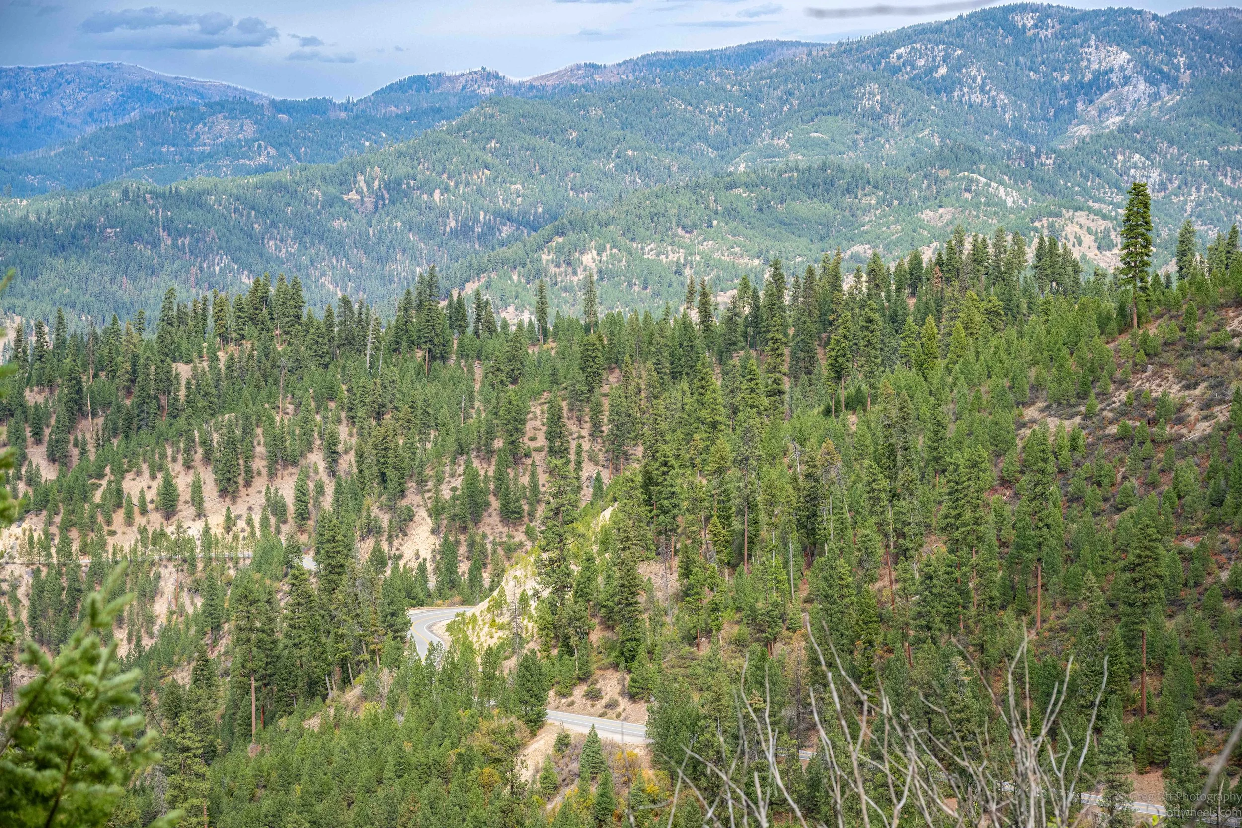
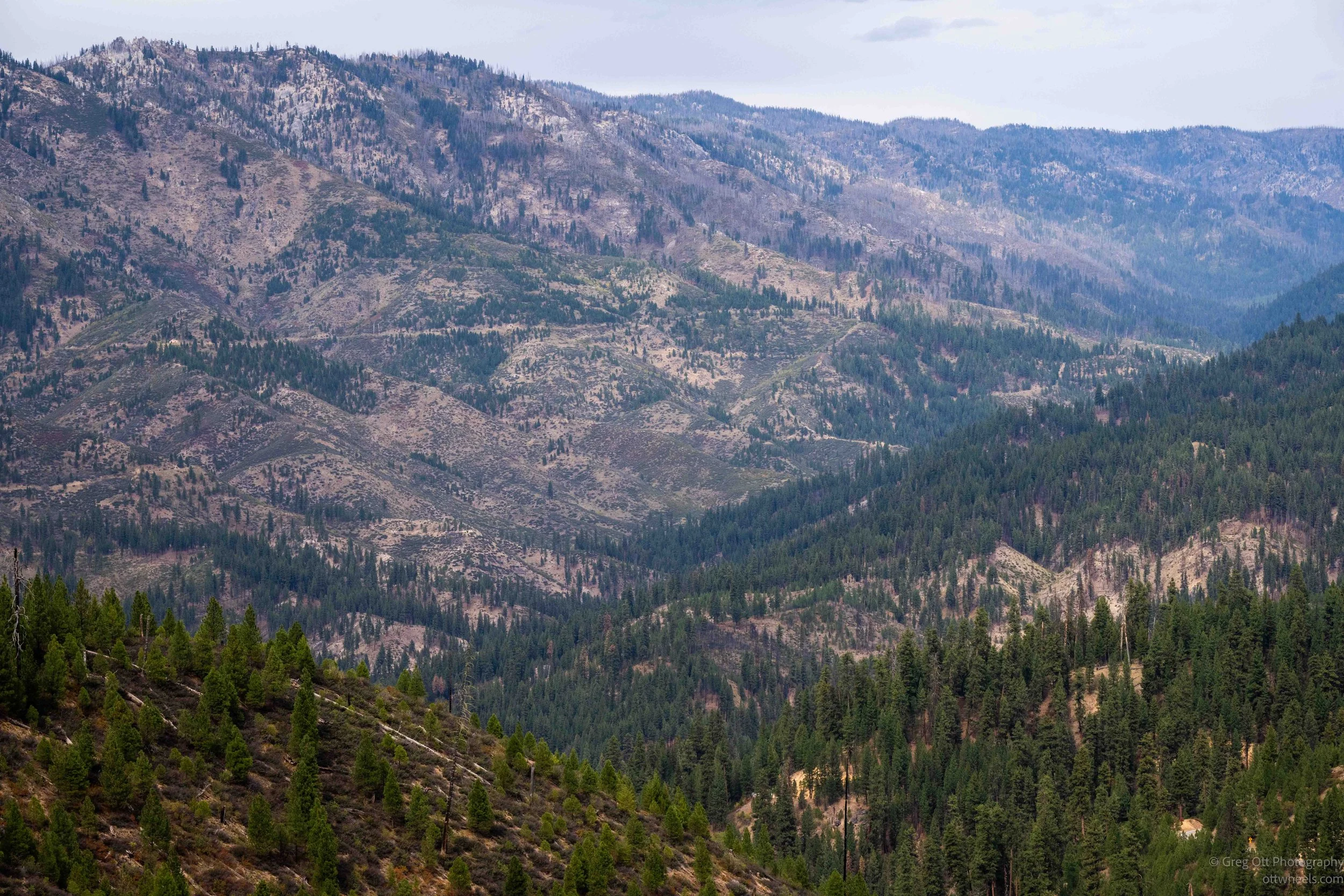
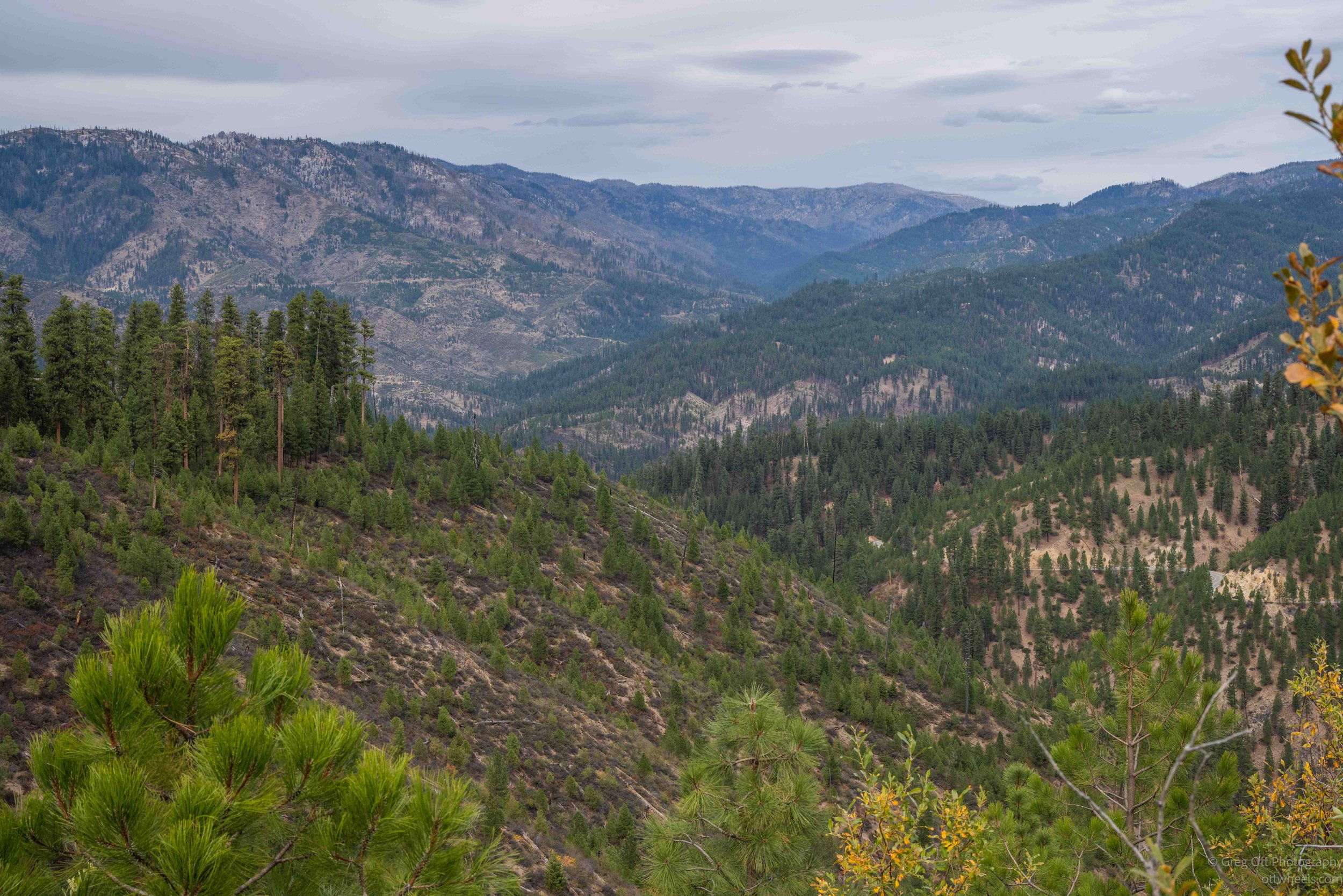
I left Stanley and headed toward Idaho City on Highway 21, the Ponderosa Pine Scenic Byway. It was about a 90 mile drive through the mountains that shouldn’t have taken four hours, but it did. I wasn’t in a hurry, and I stopped many times along the way, mostly because I kept being drawn to the burned forest and the views from the turnouts. There were entire hillsides covered with black trunks, sometimes stretching across a valley and all the way up the next mountain.
Through the Burned Forest
At first I assumed I was looking at the remains of one enormous fire, but the story was more complicated. This part of Idaho has burned repeatedly. I read that one of the largest was the Lowman Fire in 1989, when lightning started more than 100 fires in the Boise National Forest. Four eventually burned together, creating a fire complex of nearly 50,000 acres. At one point the fire moved almost six miles in a single afternoon and burned into the community of Lowman.
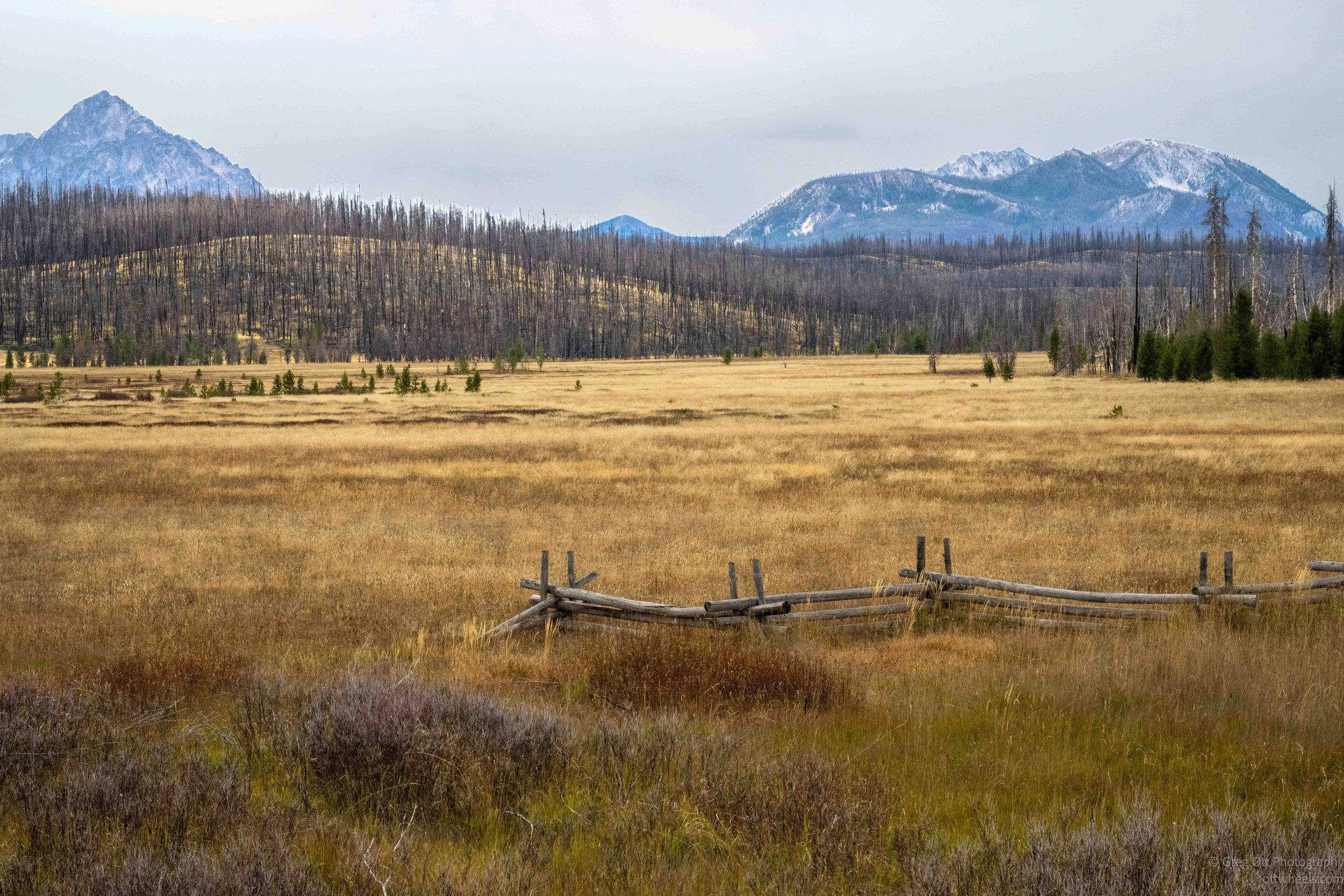
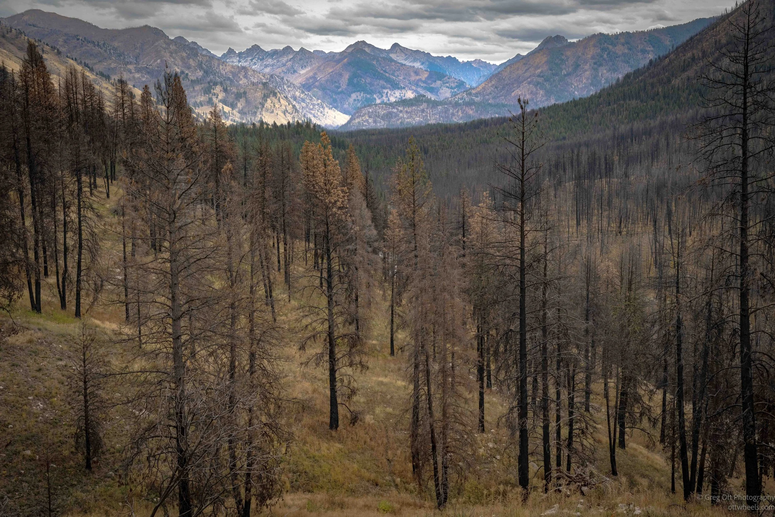
Looking across some of the hillsides, I noticed that many of the dead trees were fairly small. They didn’t look like an old mature forest that had simply burned once. I started wondering if I was looking at trees that had grown after an earlier fire and then burned again. That seems to have happened in at least some of these areas. The country around Lowman has burned many times, including major fires in 1988, 1989 and again in 2016. What looked from the road like one enormous burn was really the result of fires from different years.
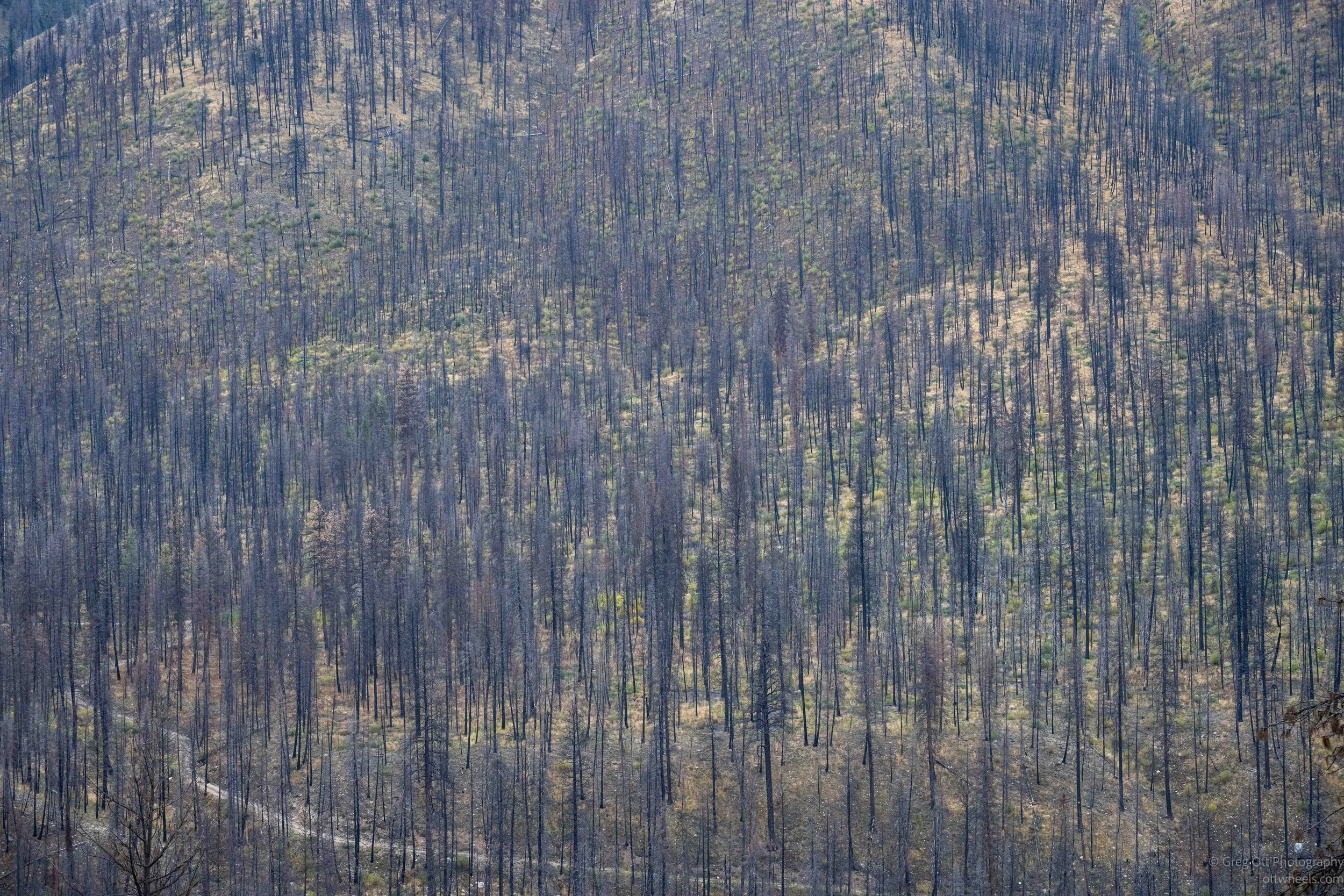
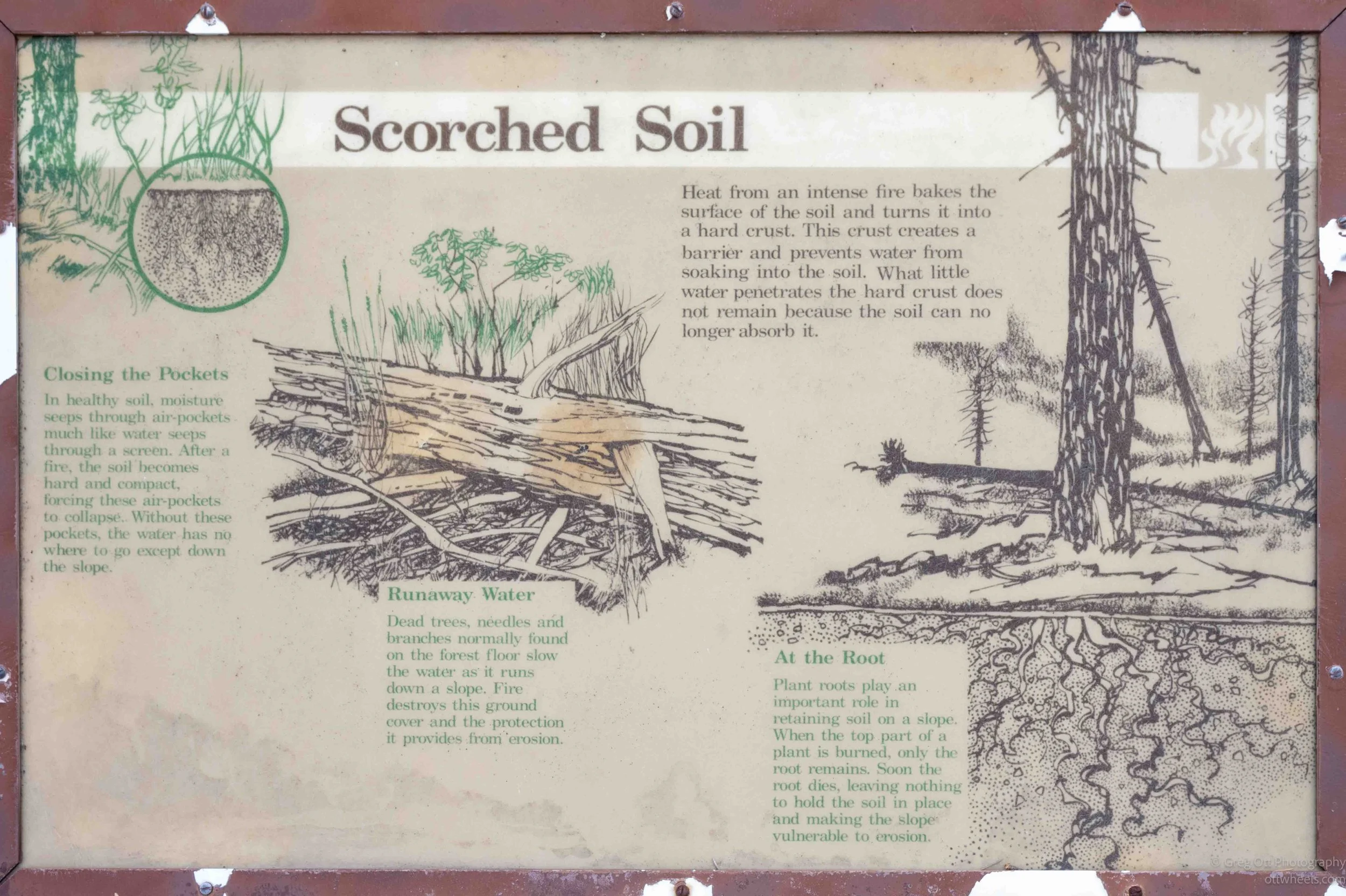
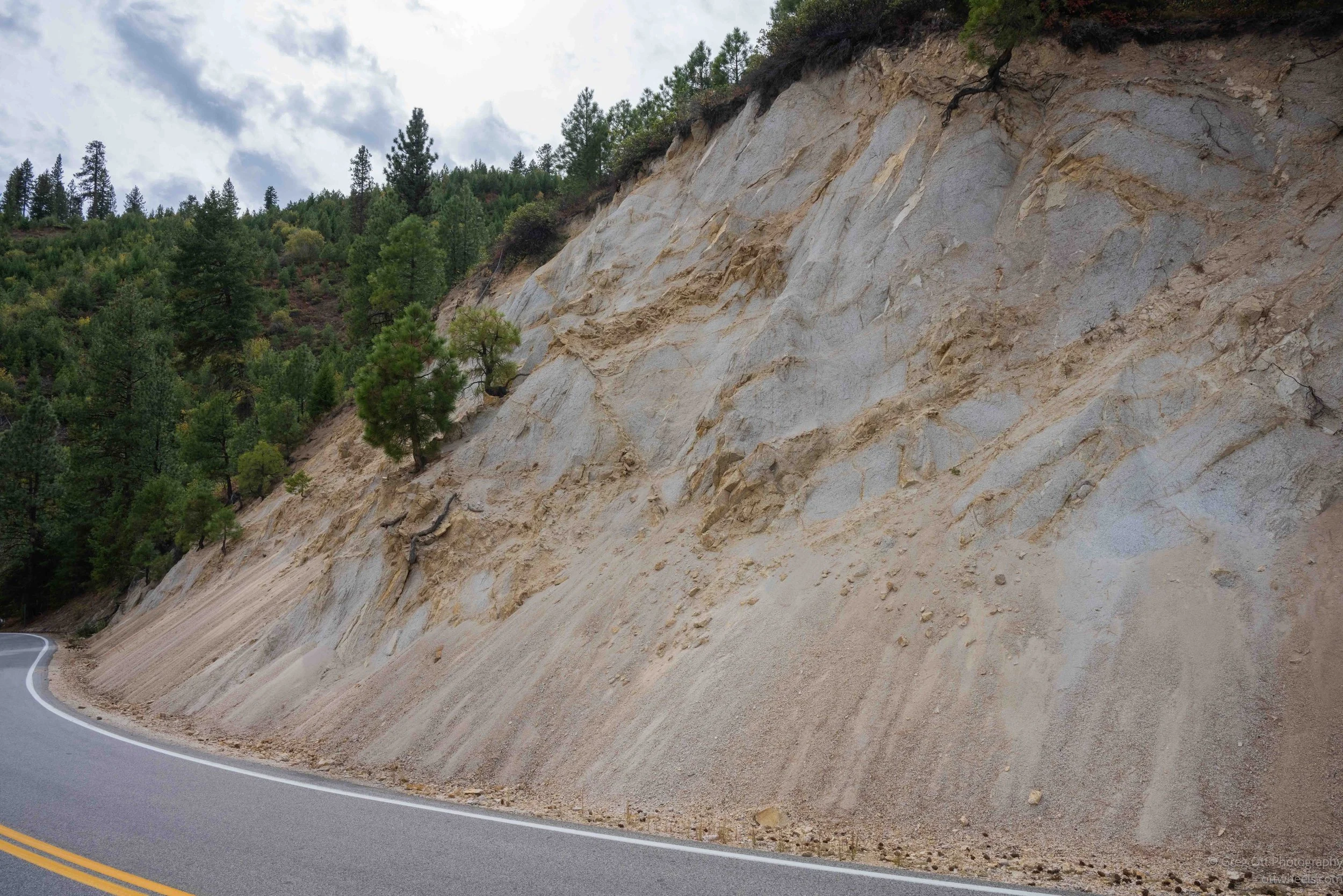
In places the contrast was remarkable. Blackened trunks covered one slope while young green pines were already growing underneath them. A few miles later I would be back in thick green forest, then around another bend the mountains would once again be covered with dead trees. Small streams ran through the valleys, and every once in a while I passed a house tucked into the forest. Seeing those houses surrounded by trees made me think a little differently about the enormous burned areas I had been photographing.

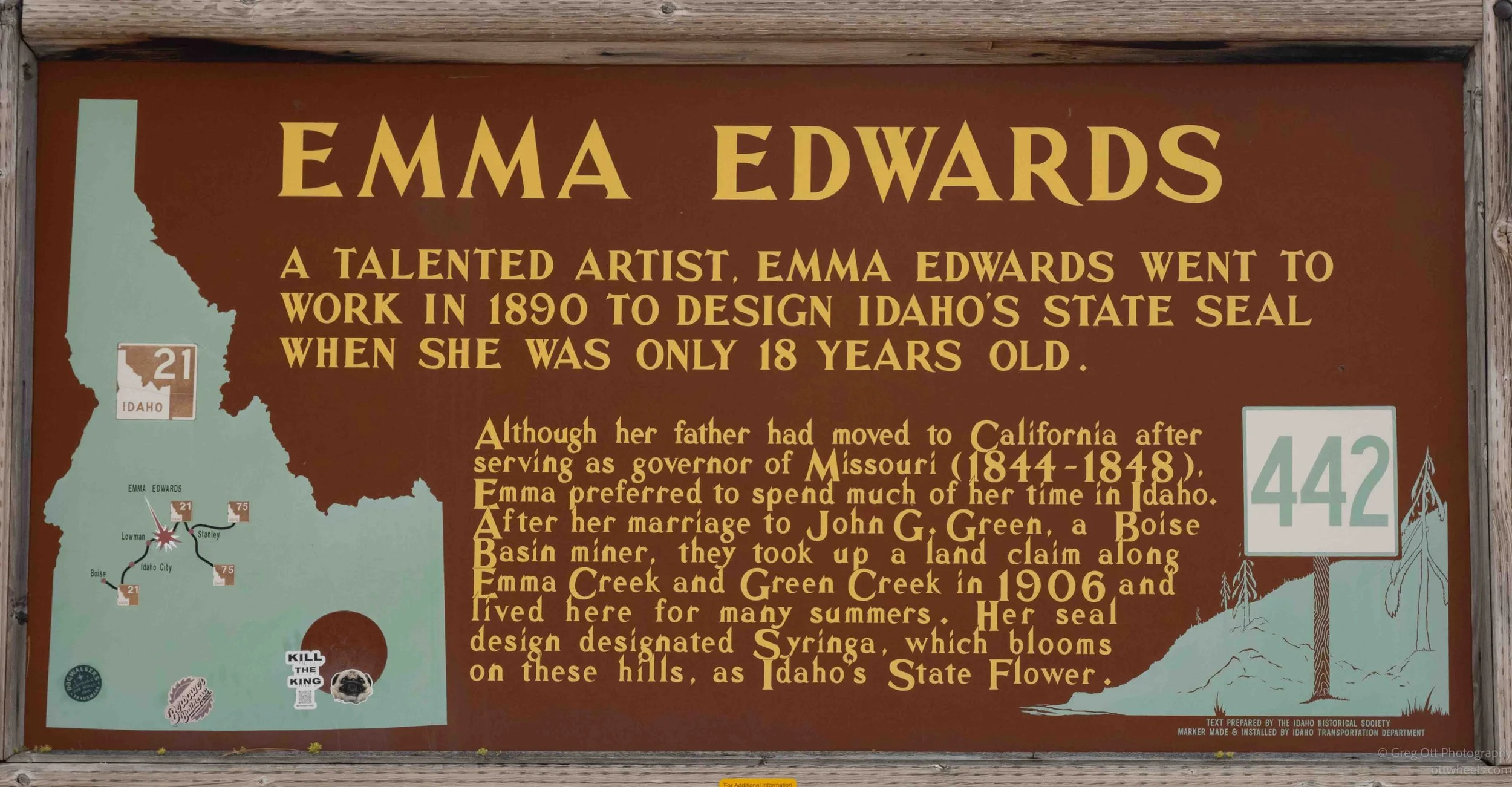
I stopped beside the South Fork of the Payette River near Lowman when I saw a historical marker for Emma Edwards Green. She designed Idaho’s Great Seal in 1891 and is believed to be the only woman to have designed a state seal in the United States. She later married a Boise Basin miner and spent many summers on a land claim along nearby Emma Creek and Green Creek. I would hear her story again a few days later when I toured the Idaho State Capitol in Boise.
The sign said she was only 18 when she designed the seal. That apparently isn’t correct. Emma was born in 1856, which would have made her about 34 when she came to Boise in 1890 and created the design. I thought it was interesting that even a historical marker could get part of the history wrong.
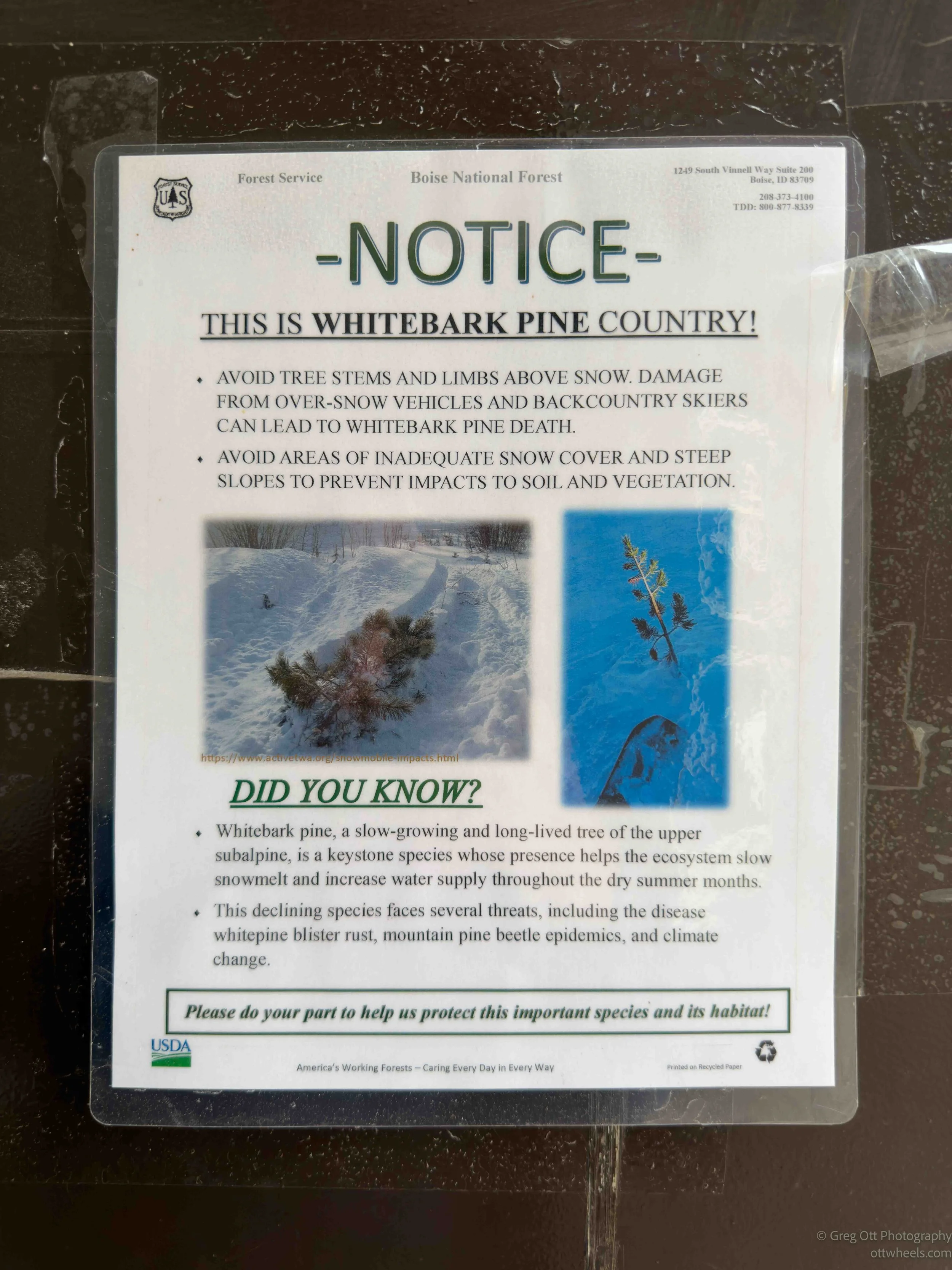
I stopped to use a restroom in the Boise National Forest and saw a Forest Service poster about whitebark pine. At first I misread the warning and thought “whitebark pine death” was some condition that could kill me. What it was actually saying was that snowmobiles and backcountry skiers can damage the trees, sometimes badly enough to kill them. The poster explained that whitebark pine is a slow growing tree found high in the subalpine forest and that it helps slow snowmelt and maintain water later into the summer. It is already under pressure from blister rust, mountain pine beetles and climate change, so the Forest Service was asking people to be careful around the trees, especially when they are partly buried under snow.
I continued south toward Idaho City, still stopping whenever another view of the burned mountains made me pull over. Gradually the forest became greener again, although the scars from the fires never completely disappeared.
Idaho City Walk
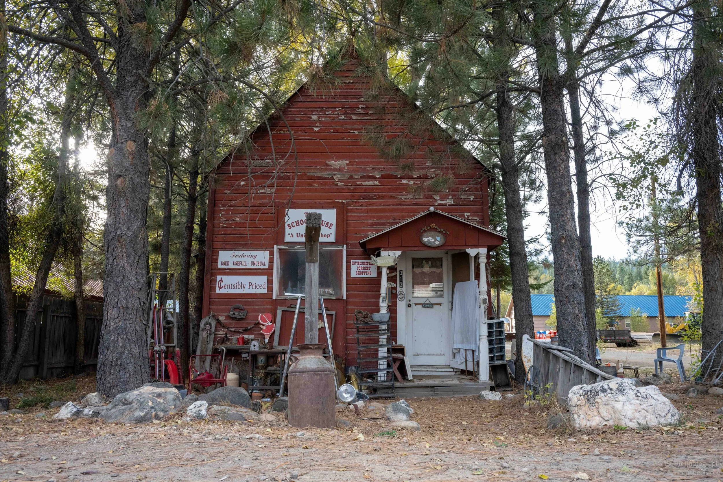
Idaho City was totally unexpected and wasn’t on my itinerary. I had missed lunch and was looking for somewhere to eat when I started noticing all the old buildings as I drove through town. I turned around at the edge of town and drove back. I ended up spending the next three hours walking around, reading signs, taking photographs and talking to strangers who were doing much the same thing. One woman told me she had simply been driving toward Boise, saw the town and had to stop too.
As I walked around and read the signs, I found out that Idaho City grew out of the Boise Basin gold rush. Gold was discovered here in 1862, and the town, first called Bannock or West Bannock, grew almost overnight. By 1863 and 1864, more than 6,000 people were living here, briefly making it larger than Portland. There were newspapers, breweries, bakeries, theaters, restaurants, blacksmiths and plenty of saloons.
I also noticed how many of the surviving commercial buildings were brick. That made more sense when I learned that fires had repeatedly destroyed large parts of the town. As the easily worked gold disappeared, the miners moved on and the population dropped dramatically. Walking around, it was hard to imagine that this quiet little town had once been one of the largest communities in the region.
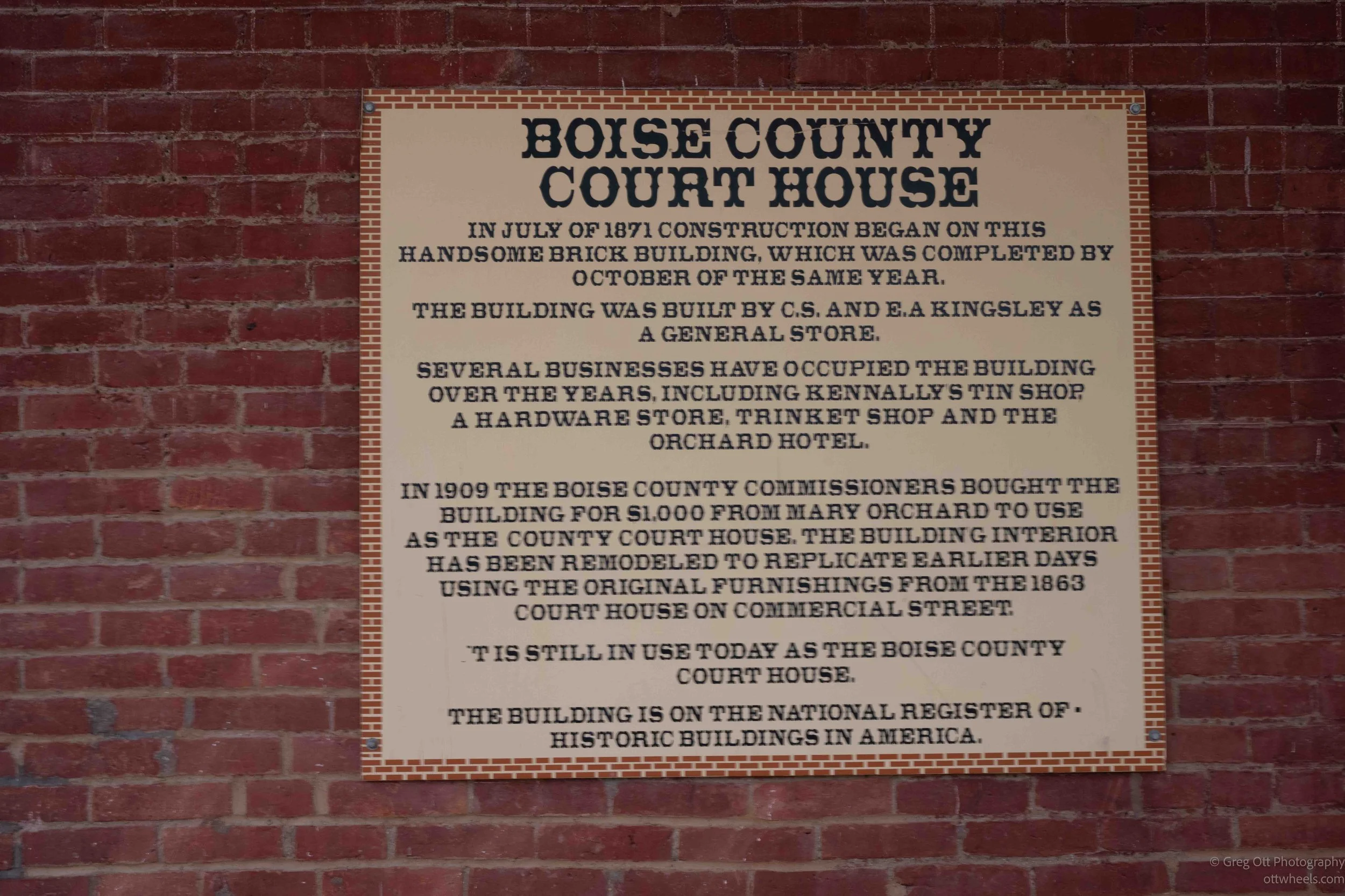
One of the first buildings I stopped at was the Boise County Courthouse. The sign said it was built in 1871 as a general store and purchased by Boise County in 1909 for $1,000. It is still used as the county courthouse today. I liked that. This wasn’t simply a collection of old buildings being preserved for tourists. Some of them were still being used.
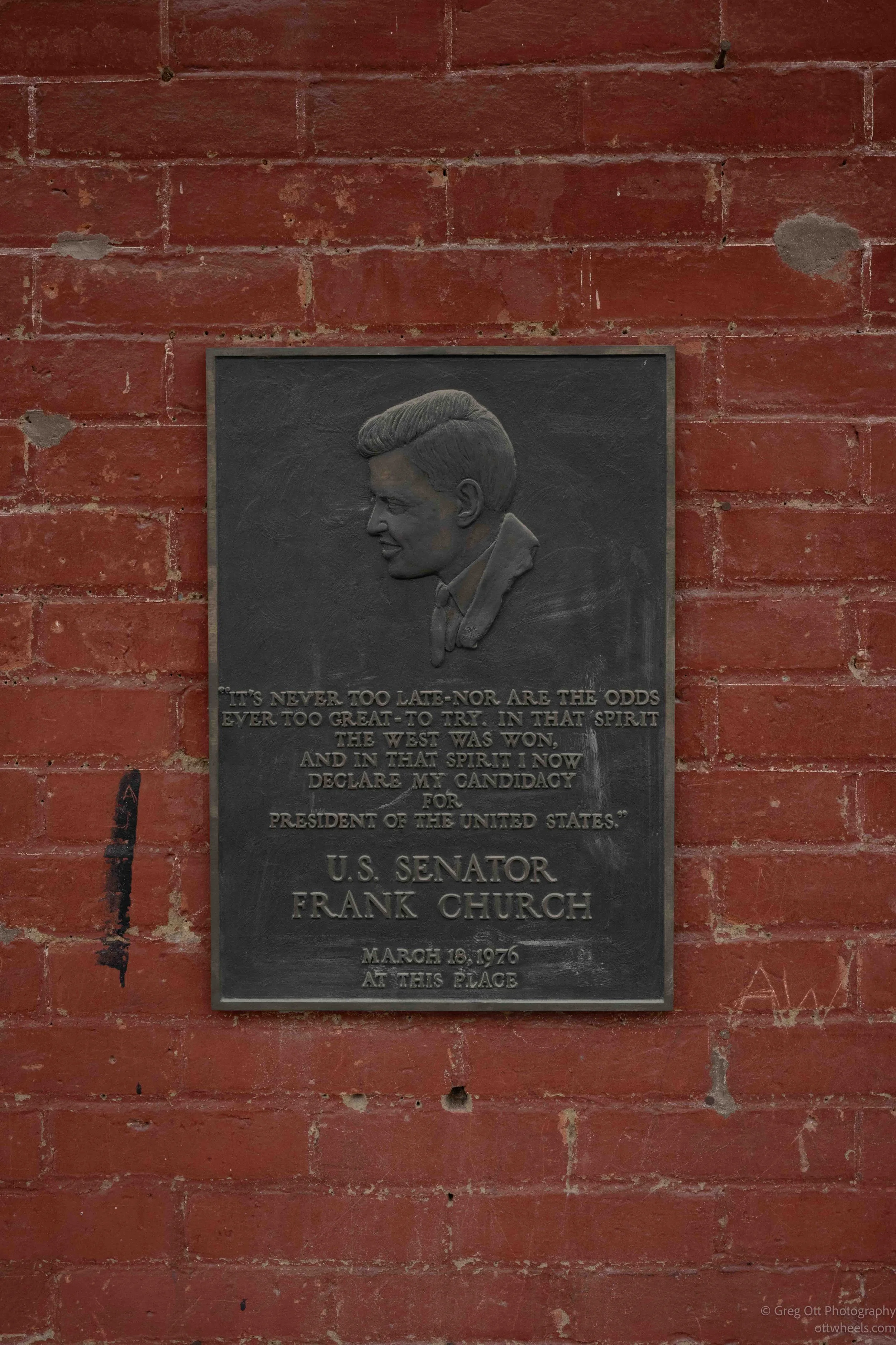
Idaho City remained the Boise County seat long after the gold rush ended. One plaque that caught my attention was for Senator Frank Church. I read that on March 18, 1976, he stood here and announced his candidacy for President of the United States. Idaho City had a personal connection for him because his grandfather had settled here during the gold rush and his father was born here. Church later won the Democratic presidential primaries in Idaho, Montana, Oregon and Nebraska before Jimmy Carter secured the nomination.
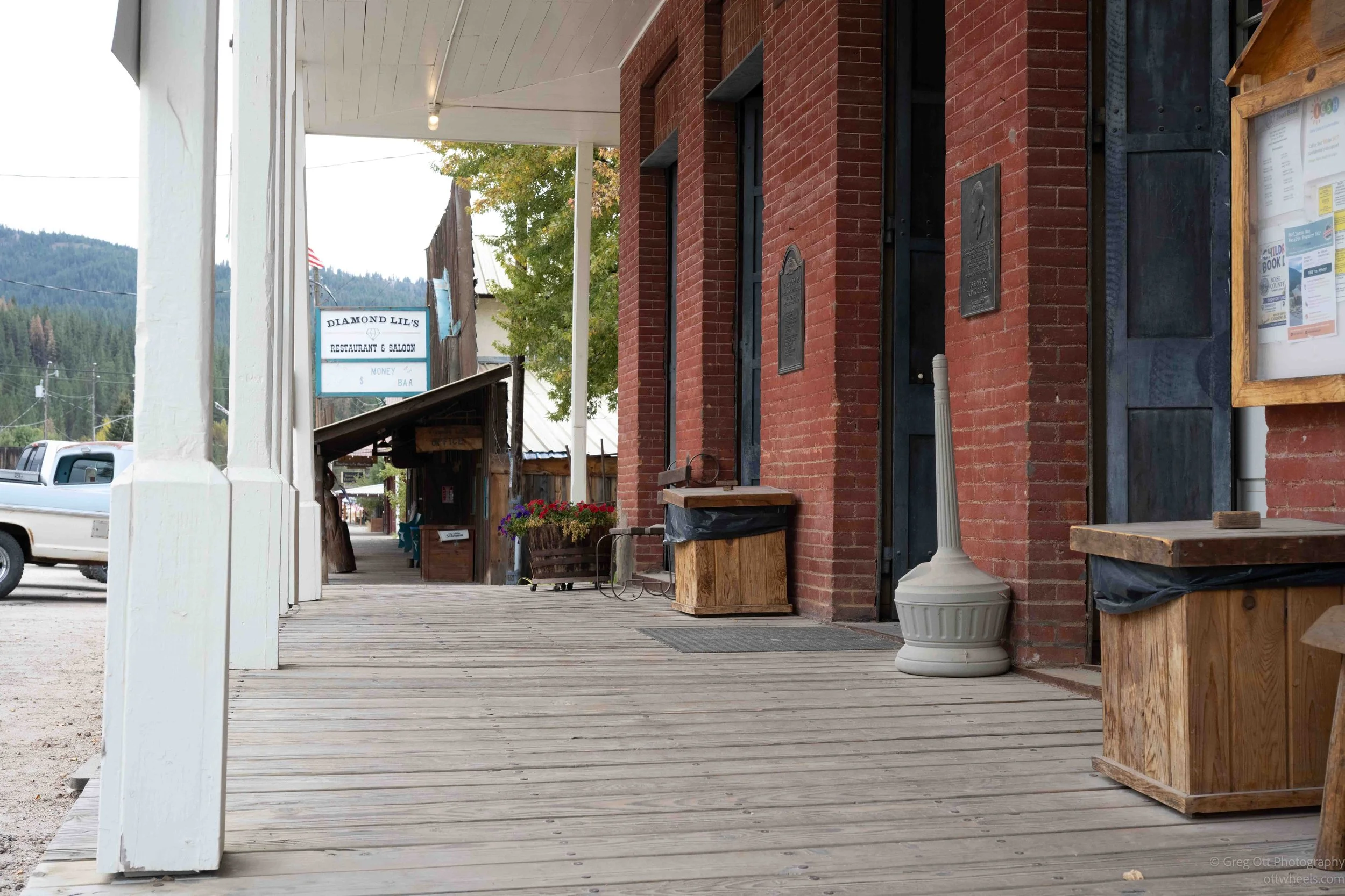
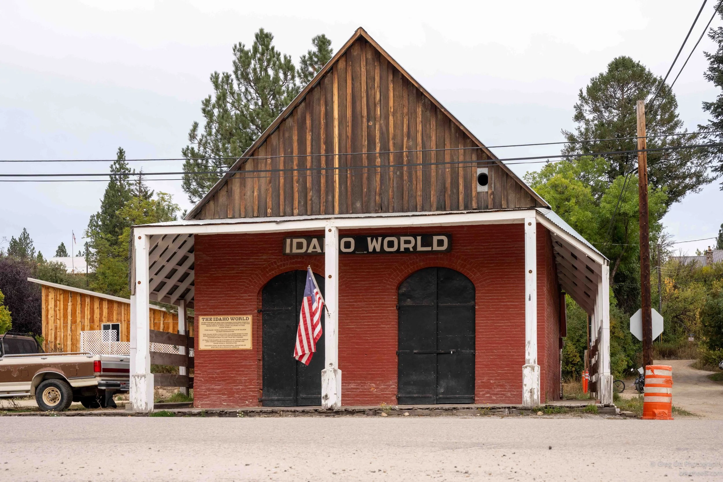
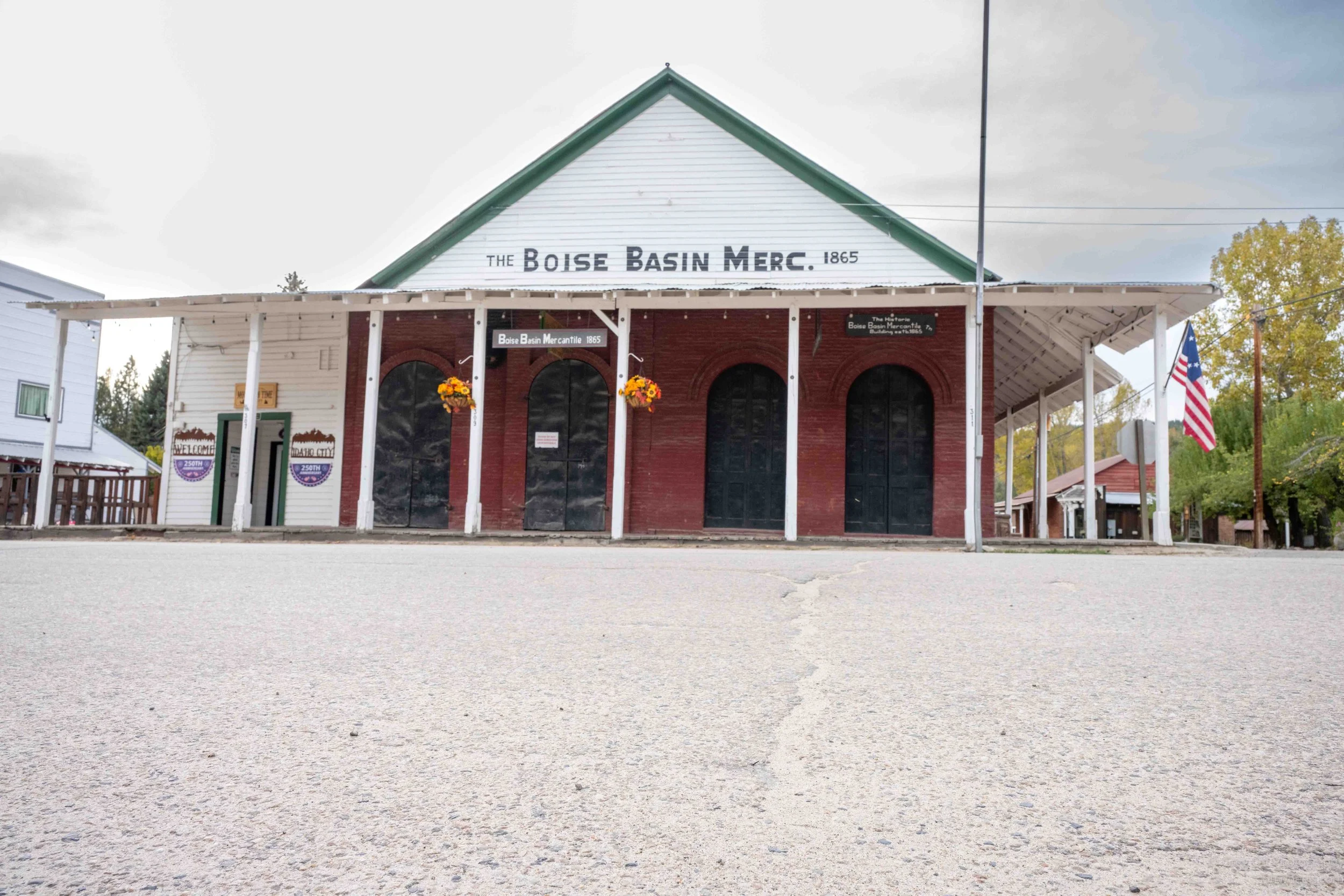
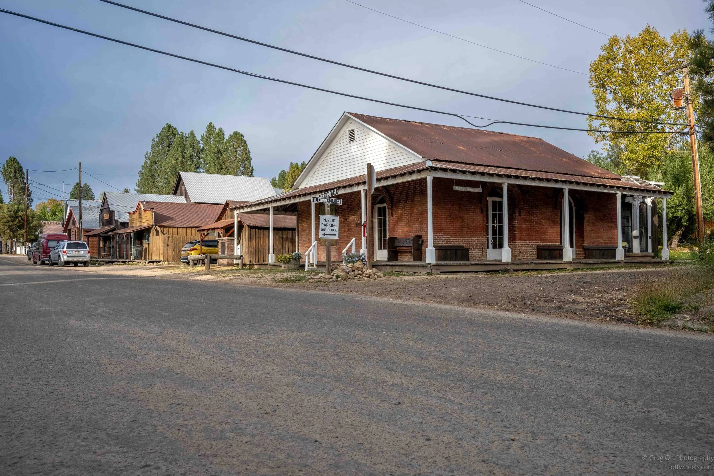
A little farther along was the old Idaho World building, followed by the Boise Basin Mercantile and several wooden storefronts that looked as if they hadn’t changed much in more than a century. The streets were quiet, and the mix of brick, weathered wood, metal roofs and dirt shoulders gave the town a very different feel from most places I had been driving through.
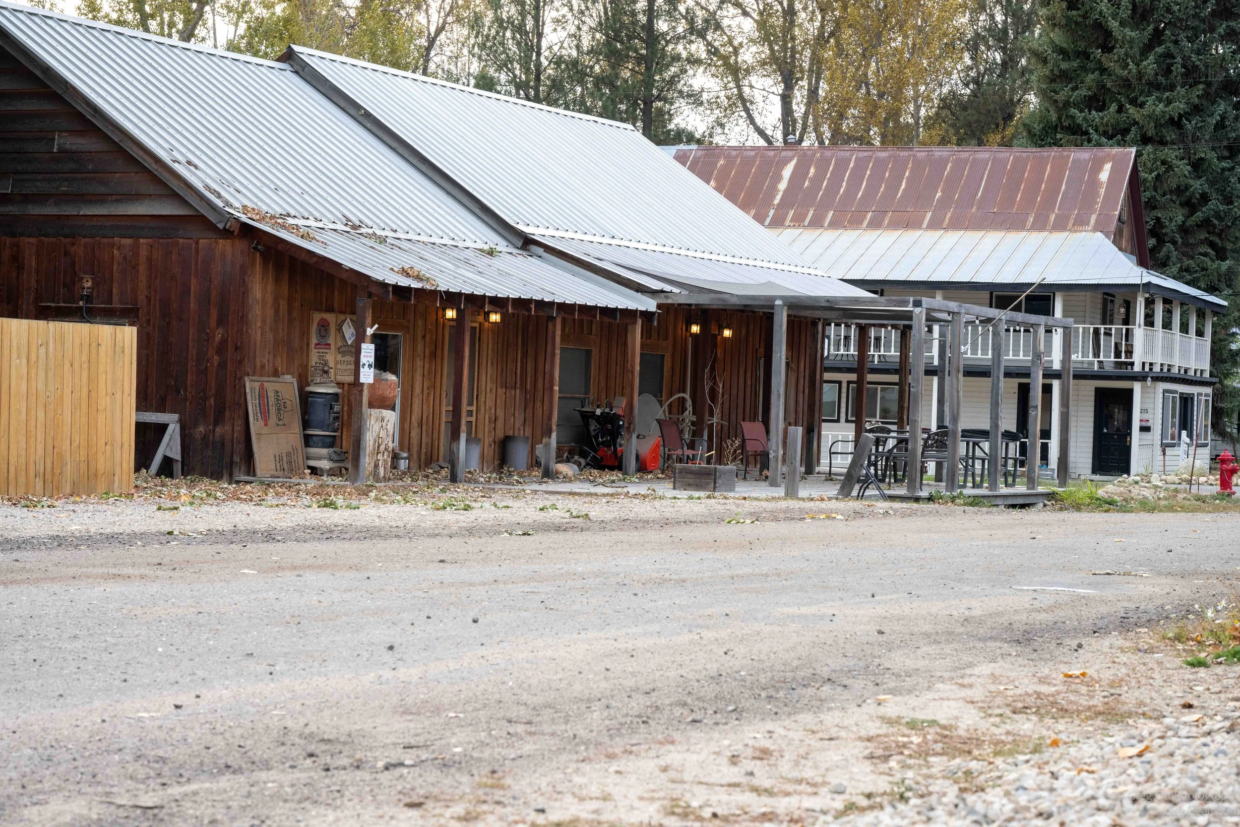
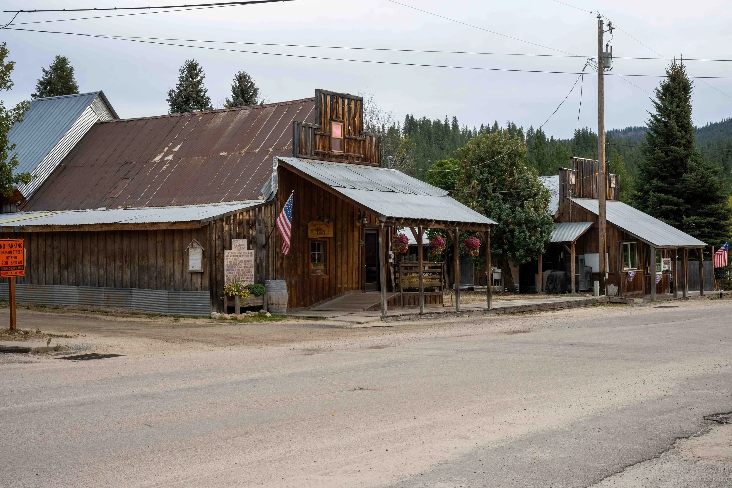
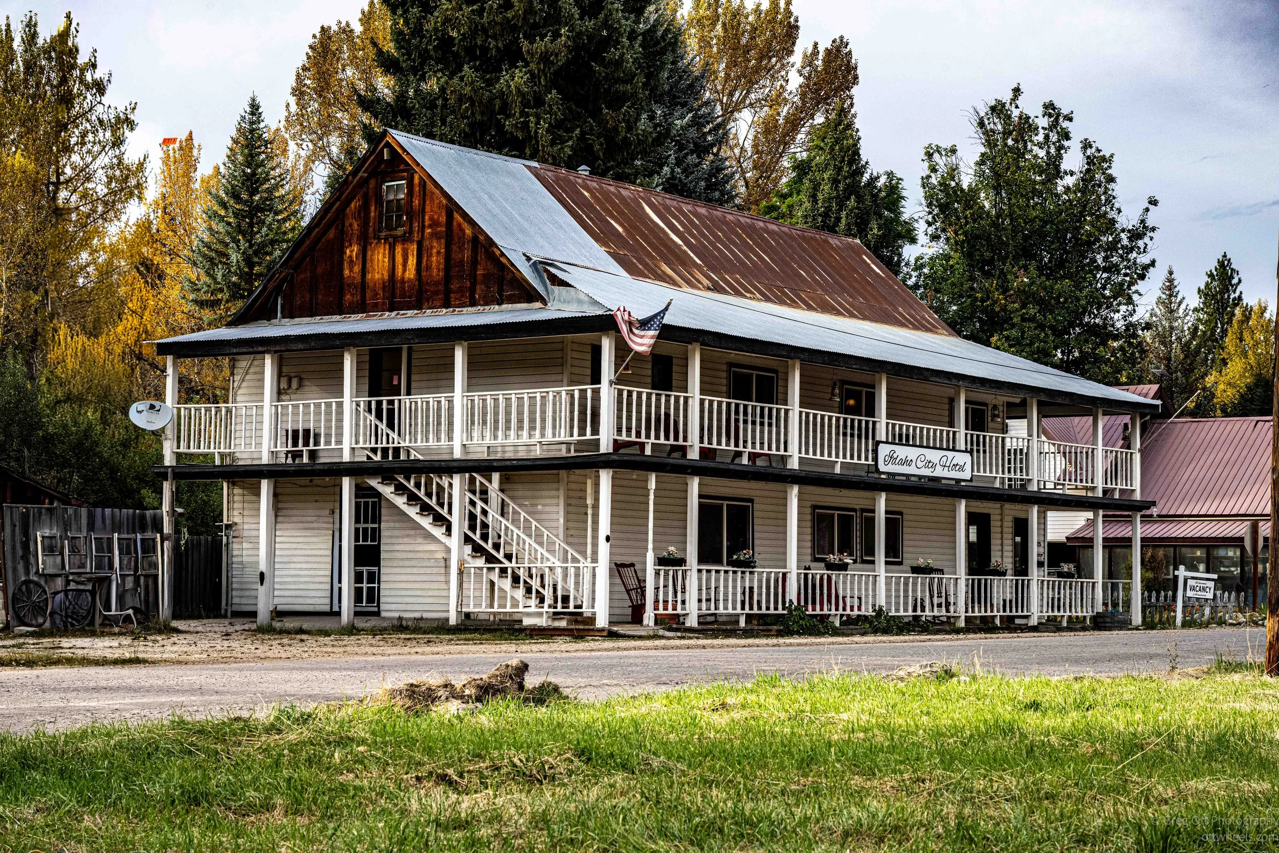
I passed the Idaho City Hotel, several old houses and small shops, then came to the Boise Basin Museum. It seemed like there was another historical marker every few hundred feet, and I kept stopping to read them.
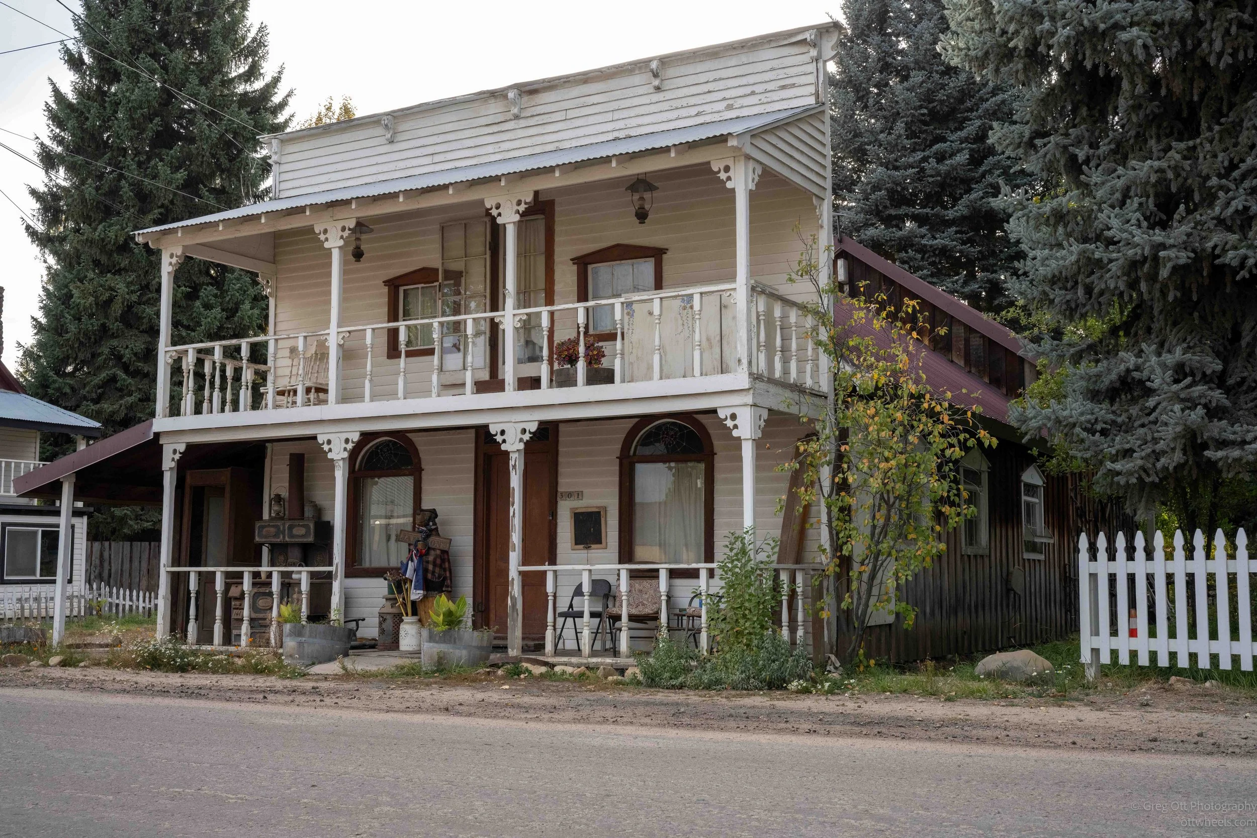
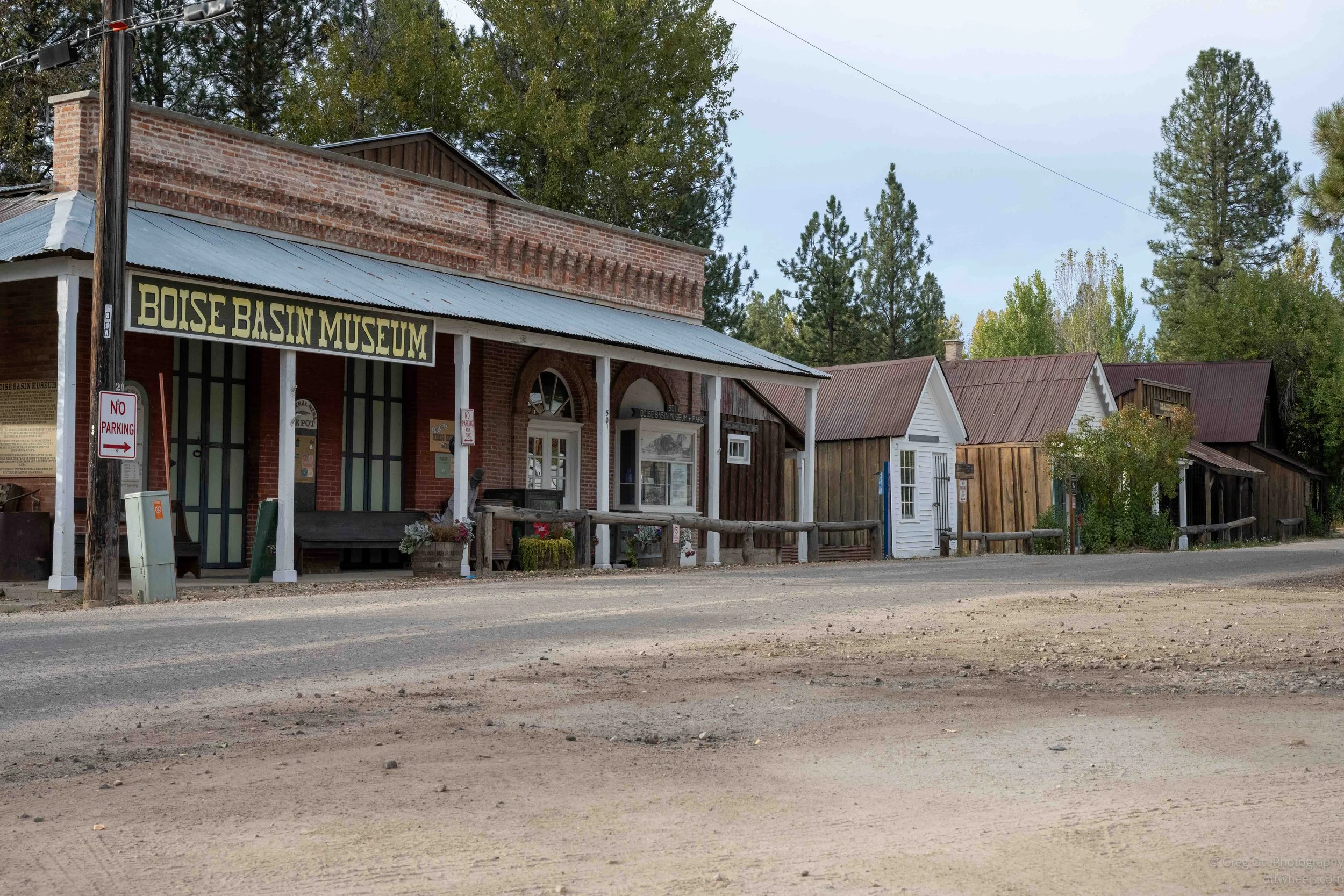
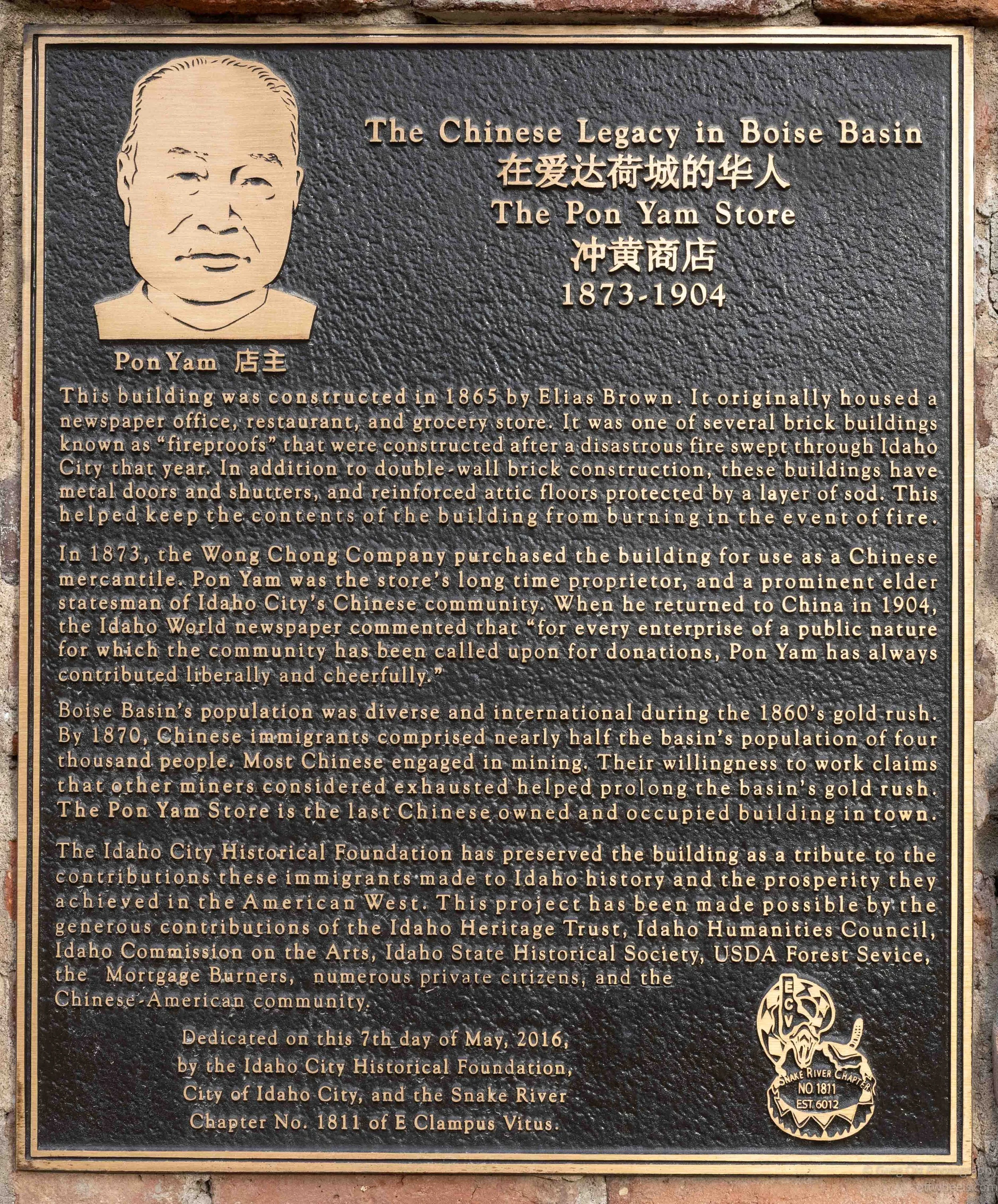
One of the more interesting ones told the story of the Chinese community that once lived here. The plaque for the Pon Yam Store said that by 1870 Chinese residents made up nearly half the population of Idaho City. Pon Yam operated a store here from 1873 until 1904 and became a prominent member of the community. The building is apparently the last Chinese owned and occupied building remaining in town. The chinese are now gone.
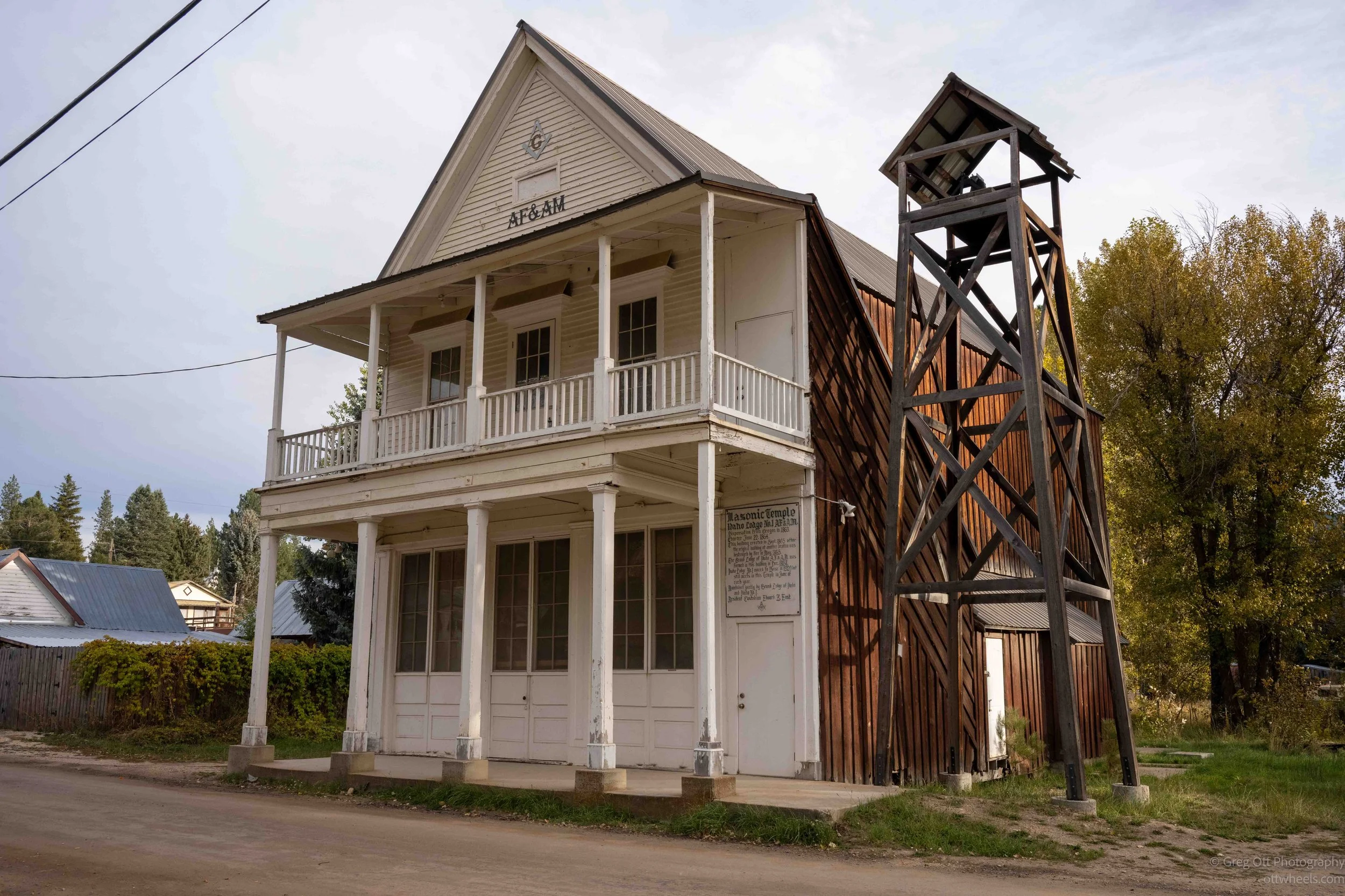
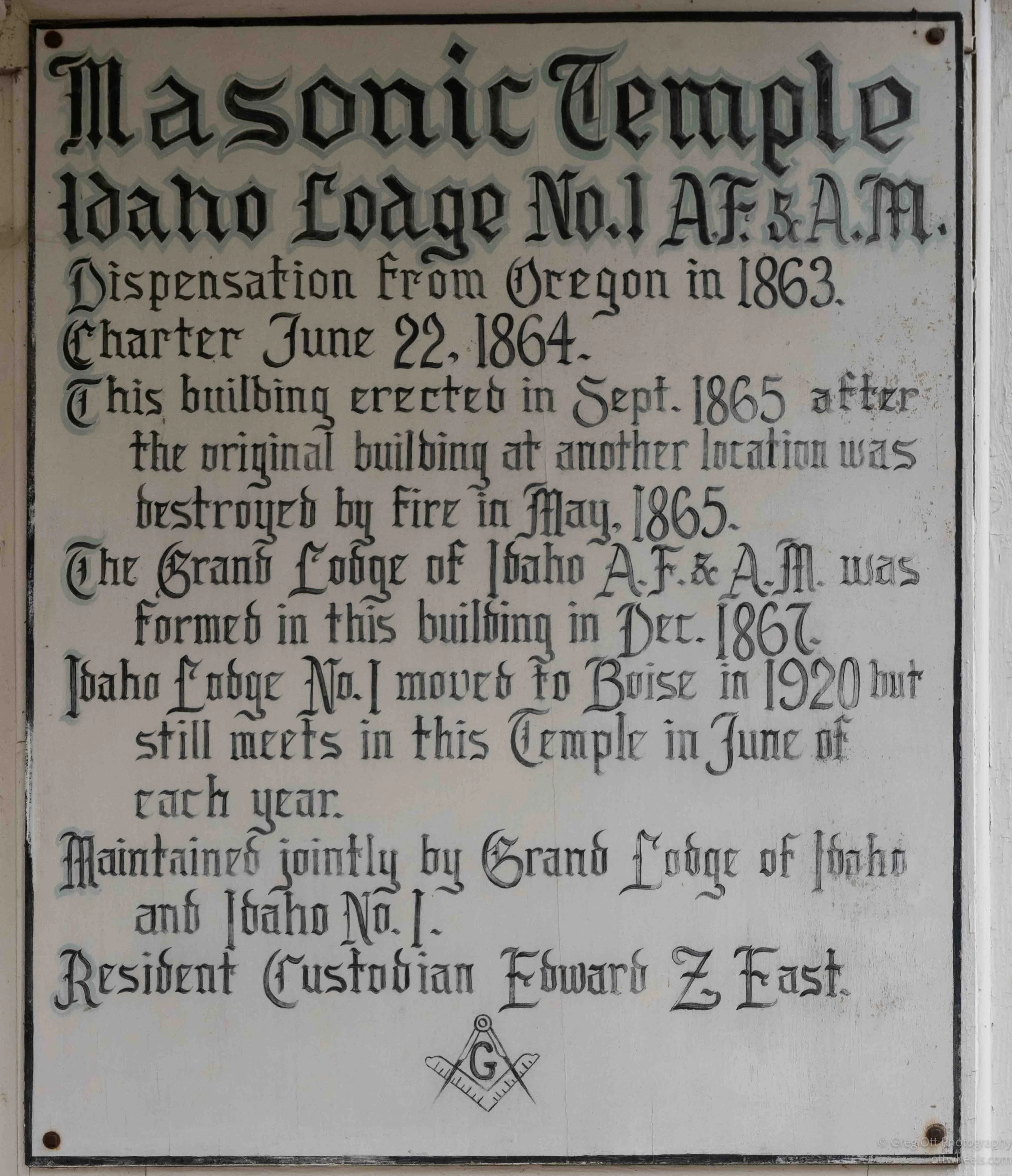
I also passed the old Masonic Temple, with its tall wooden bell structure standing beside it. By this point I had stopped thinking very much about lunch. There was simply too much to look at.
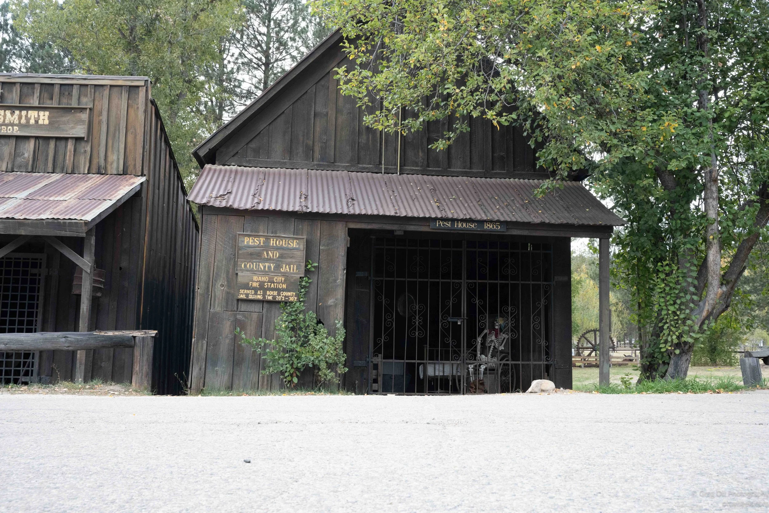
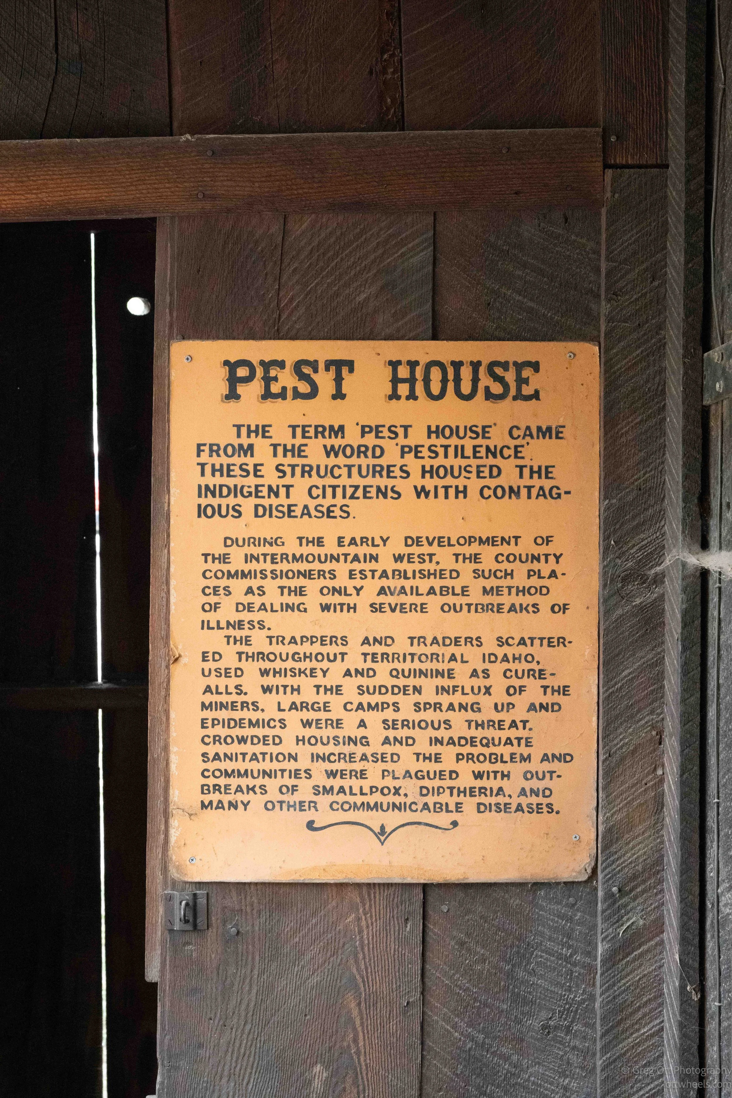
Near the end of my walk I came across a small dark wooden building marked Pest House and County Jail. The name stopped me. I had never heard the term “pest house” before.
The sign explained that “pest house” came from the word pestilence. These buildings were used to isolate people with contagious diseases. In early mining communities, crowded housing and poor sanitation made diseases such as smallpox and diphtheria a serious problem. Before hospitals and modern public health systems, isolating sick people was sometimes one of the few things a community could do.
I had started the afternoon simply looking for something to eat and ended up spending three hours wandering around a town I hadn’t even planned to visit.
Drive to Boise
By the time I finished walking around Idaho City, it was getting close to 6 p.m. and I was hungry. I debated staying there for the night and touring the museum on Monday, or continuing on to Boise. My stomach won. Boise was a little more than an hour away, and Lucky 13 Pizza had great reviews. The food options in Idaho City weren’t competing very well.
I made it to Lucky 13 on the edge of Boise and brought a book inside with me. I’d been reading Roadside Geology of Montana for a couple of weeks. I originally bought it because I was traveling through Montana, but it turned out to cover much more than just the geology of that state. The diagrams, photographs and stratigraphic sections helped me understand some of the things I had been reading about in national parks, museums and online.
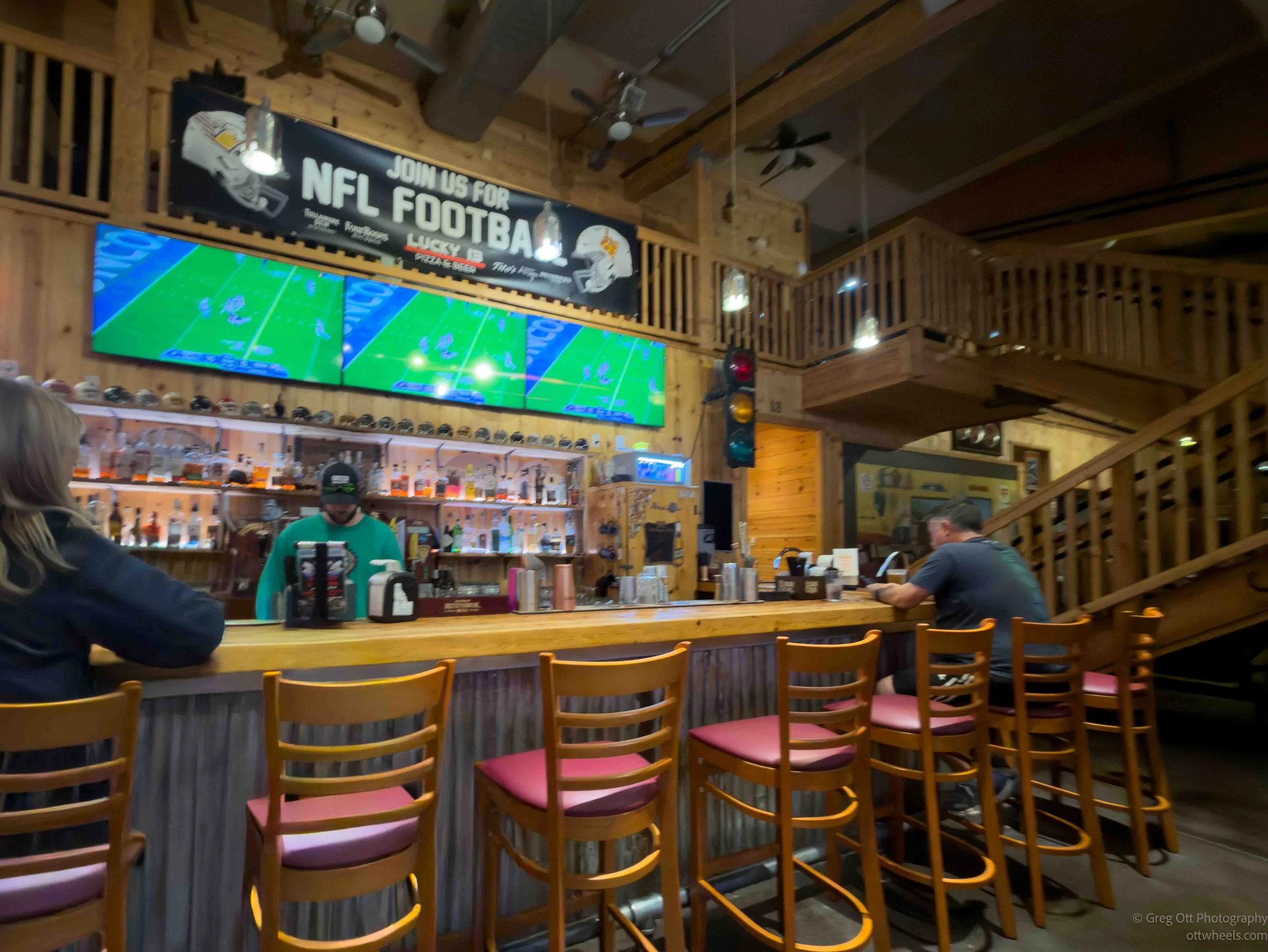
I sat at a high top table near the bar. The Chargers and Broncos were playing on a screen in front of me, and I ordered a small veggie pizza and a local stout. About halfway through the pizza, the server asked what I was reading, so I showed him the book. “Geology is so cool,” he said. He was a student at Boise State and loved hiking, camping and rock climbing. I told him what I was doing and that I still needed to find somewhere to stay for the night. He looked outside and said, “Just stay here. It’s quiet. No one will bother you in this neighborhood.”
The pizza was excellent, and I ended up hanging around until about 9:30, reading and watching the crazy ending of the football game.
I took his advice and stayed in the parking lot. There were trees all around me, almost no traffic, and by then the area was mostly dark. The surrounding neighborhood was filled with high end condos and apartments, and I noticed people still out walking at 10 p.m.
I climbed into the van and read until about 11:30, this time getting into the geology of Yellowstone. I learned that the Yellowstone hotspot remains roughly in the same place while the North American Plate slowly moves across it, leaving a trail of older volcanic areas across the Snake River Plain. Yellowstone has had enormous eruptions in the past and will have volcanic activity again someday, although no one knows when or exactly what that will look like. Heat from the magma below Yellowstone warms groundwater and powers the hydrothermal system that produces Old Faithful and the thousands of geysers and hot springs throughout the park.