Denali Grand Tour with Glacier Landing
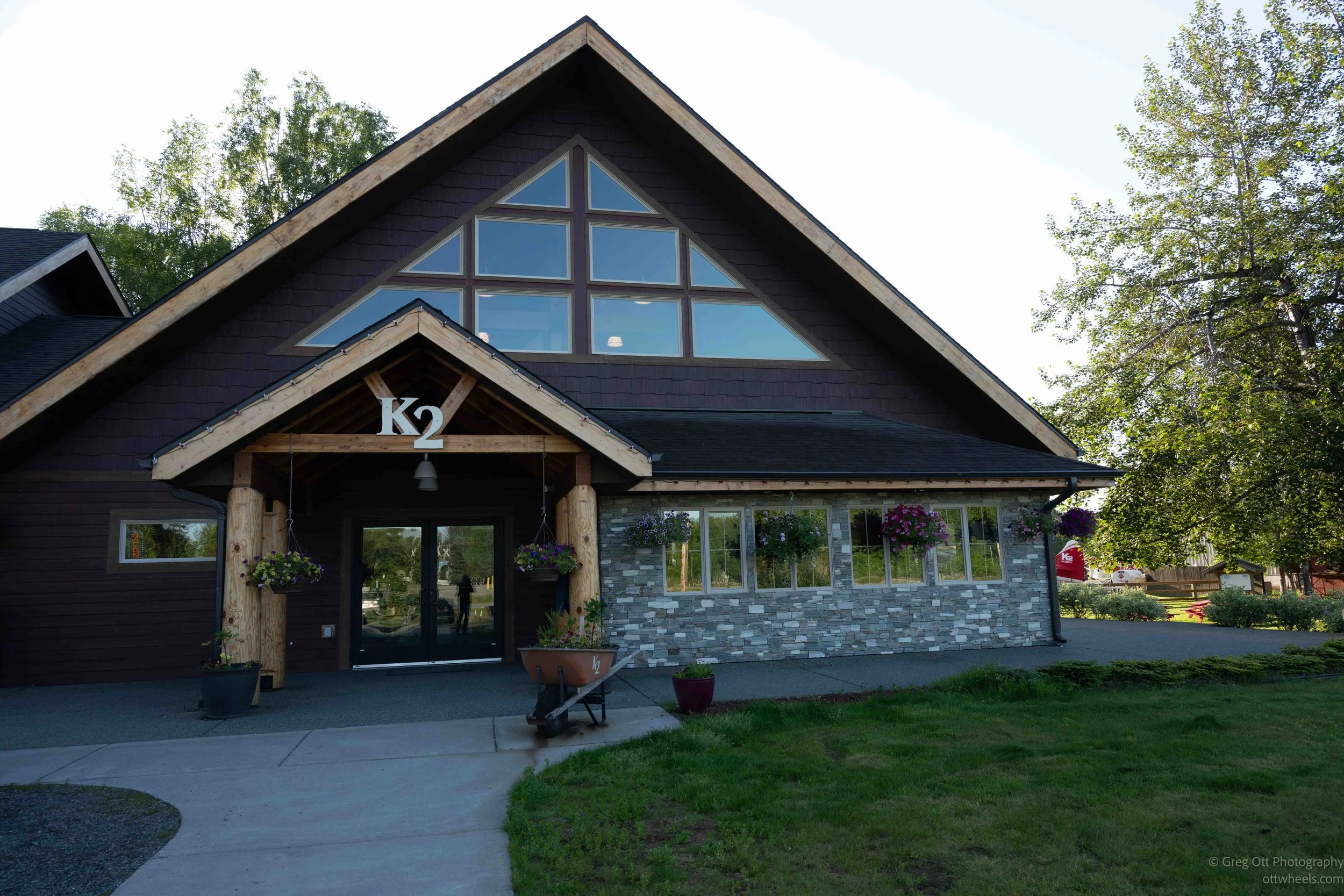
I woke at a boondocking site about five minutes outside Talkeetna, Alaska, at 6:30 a.m. I drove to the K2 Aviation airport. My flight was at 8:30, and they asked passengers to check in by 8. The parking lot was empty, and my early arrival gave me time to make breakfast, clean my lenses, pack some warm clothing, use the restroom, and check in.
The check-in facility is modern and clean, with restrooms, a gift shop, and a comfortable lounge area. It was a beautiful day. At 8 a.m., I stood in the short check-in line, gave the woman at the counter my name, stepped on the scale with my backpack, and she told me I was all set. Because we were landing on the glacier inside Denali National Park, we needed a park pass for the day. I had my America the Beautiful pass and asked what I needed to do. She smiled and said it was entirely on the honor system.
K2 Aviation has a nice display showing the different flight routes they offer. I chose the Denali Grand Tour with Glacier Landing. After reading through the descriptions, I pieced together what we would be seeing, beginning with the braided rivers and forests of the Susitna Valley before climbing into the heart of the Alaska Range. We would fly past towering granite peaks, hanging glaciers, and endless fields of snow before landing on the Ruth Glacier inside the Don Sheldon Amphitheater. After about 15 minutes on the ice, we would retrace our route toward Talkeetna, trading glaciers for tundra, wetlands, and winding rivers as we descended. The scheduled flight was two hours, although ours ended up taking about 15 minutes longer.
Departure from Talkeetna
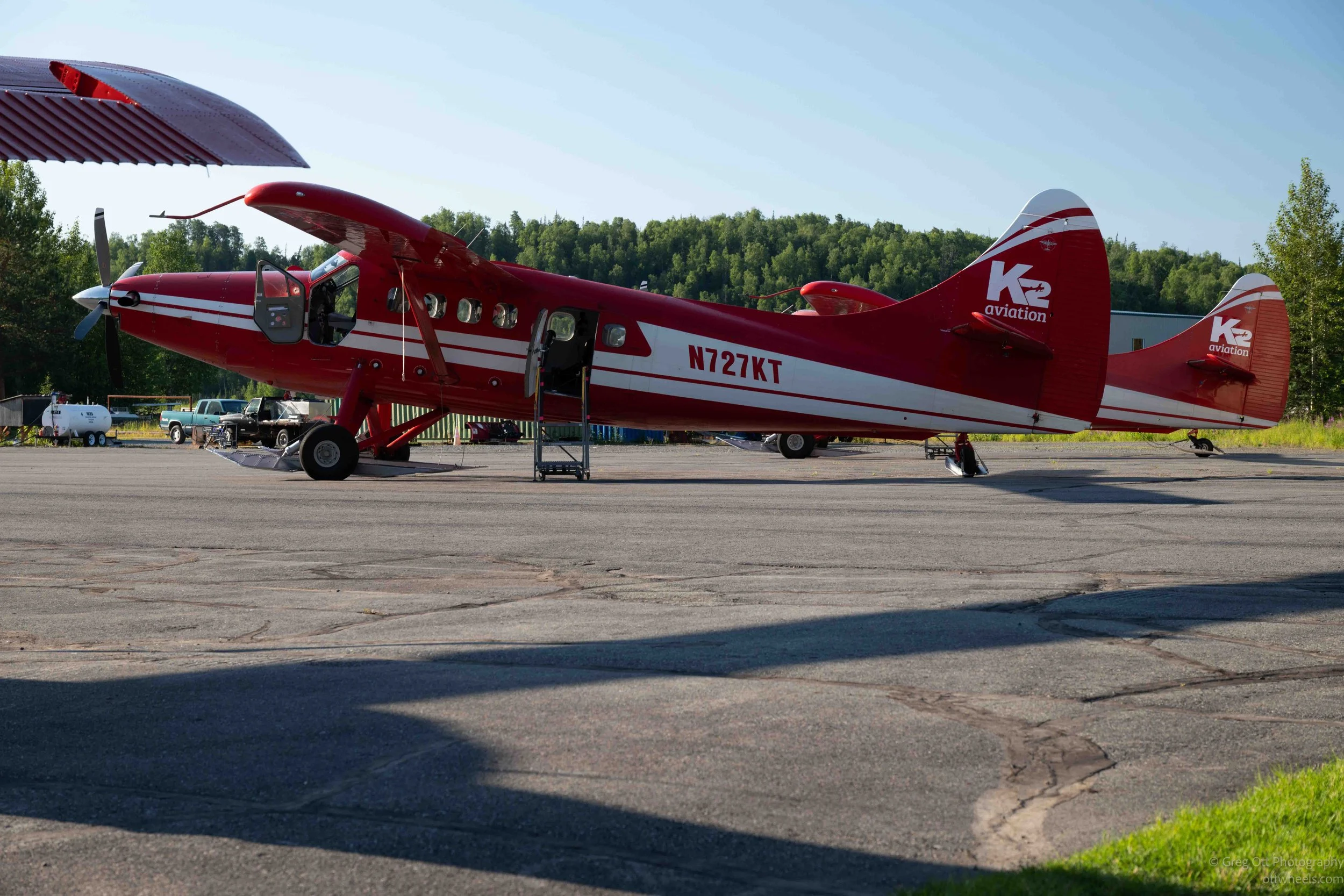
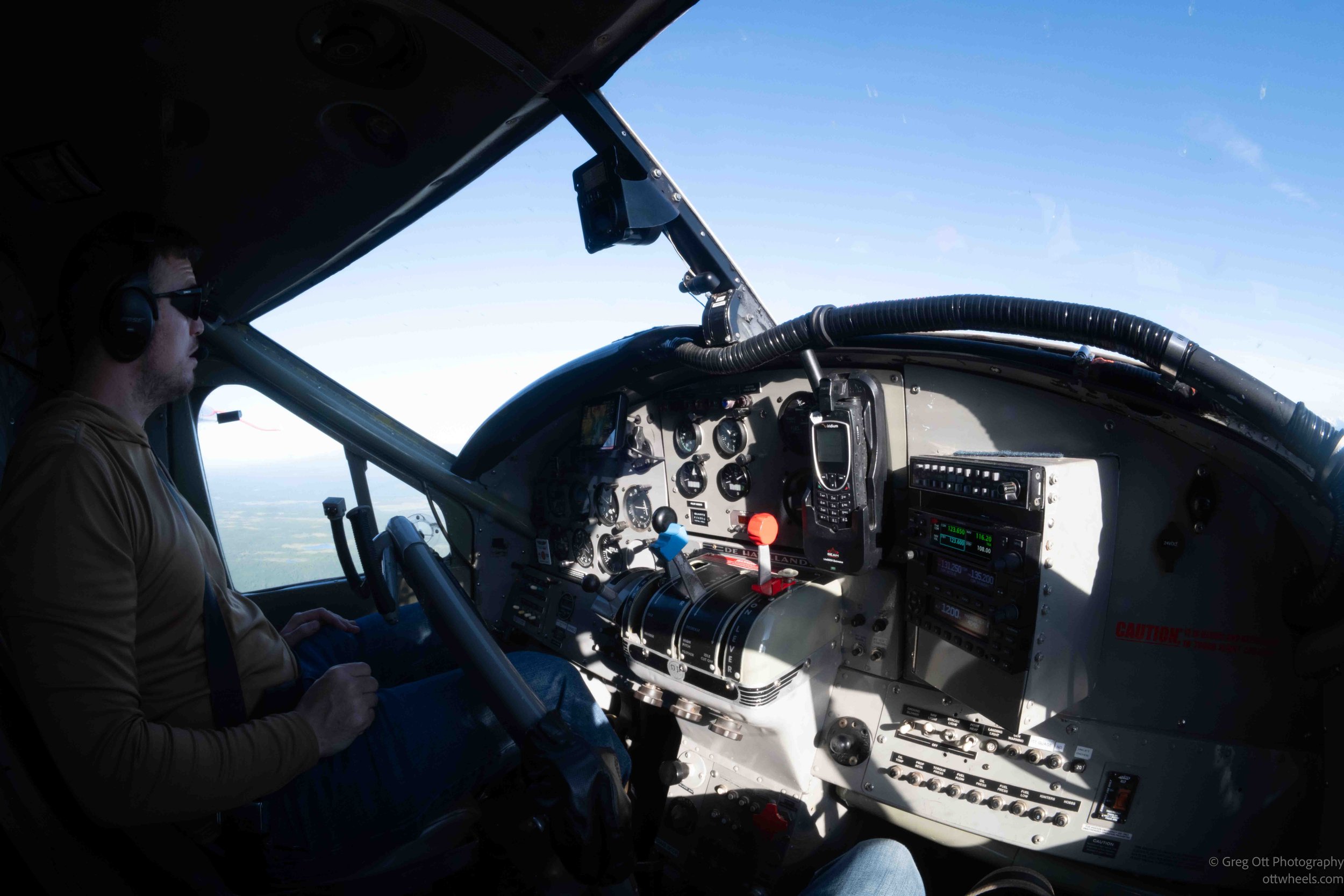
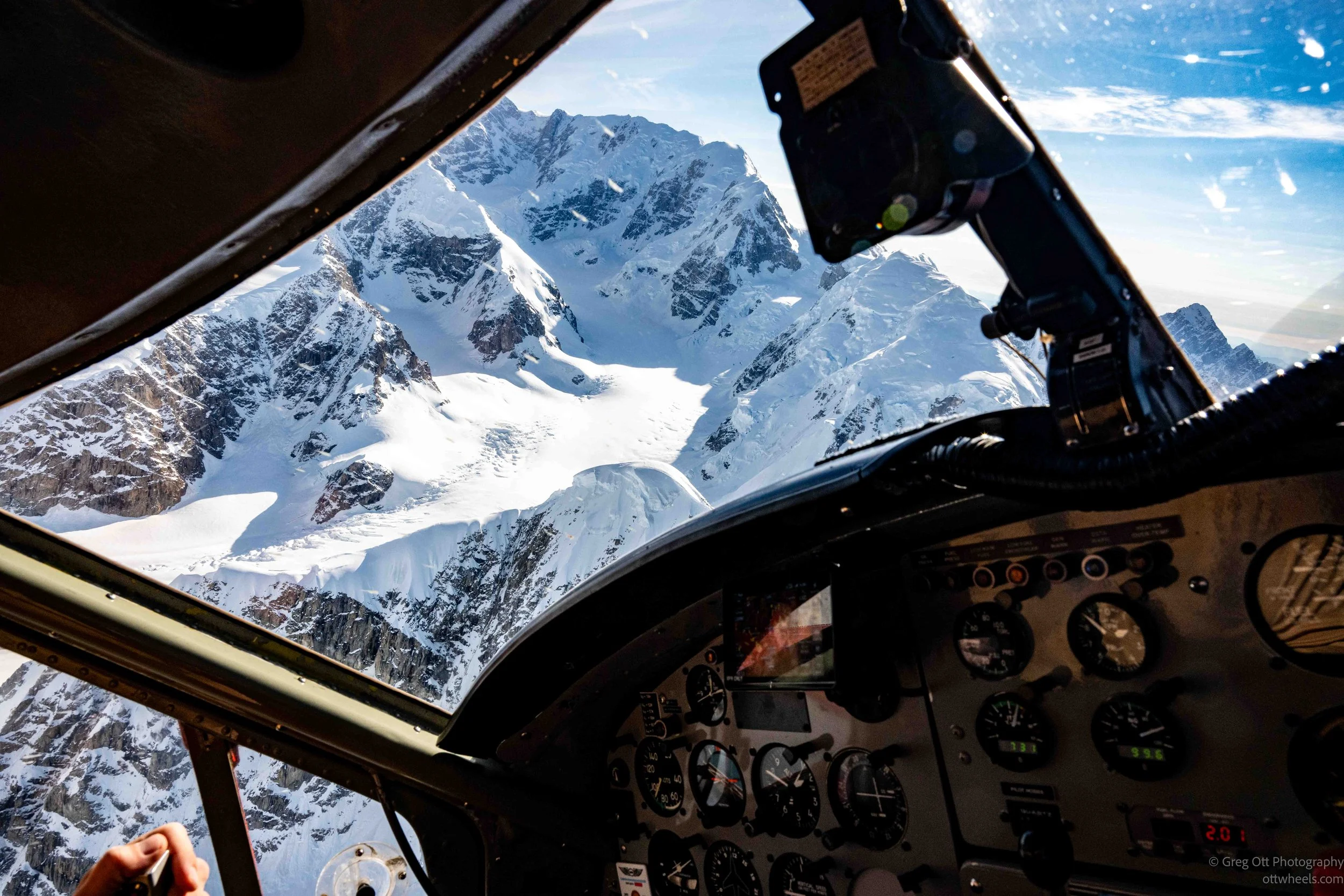
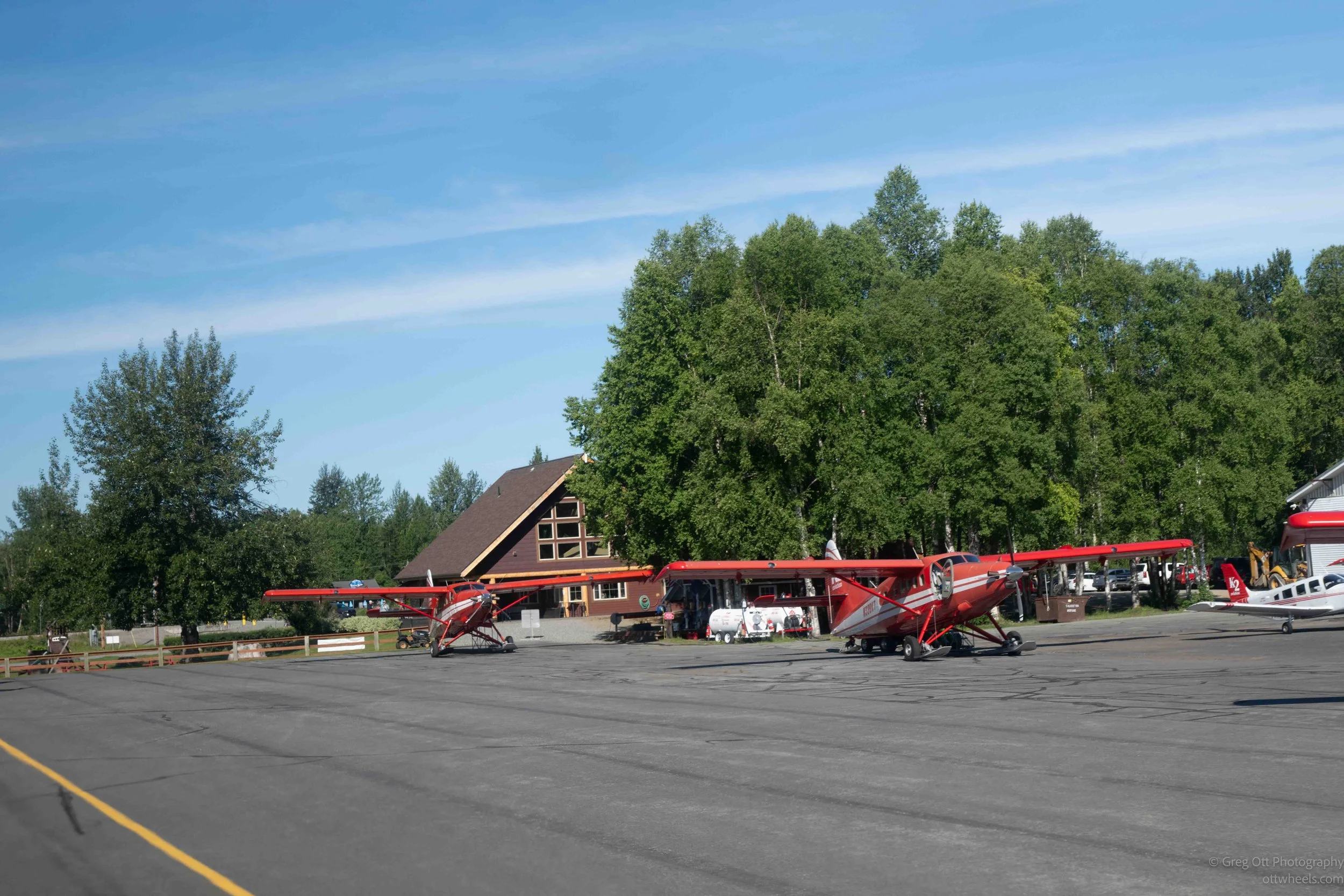
The adventure began at Talkeetna's small airstrip, where the red ski-equipped airplane waited on the tarmac against a backdrop of spruce forest. I'm traveling alone, and as often seems to happen, I ended up sitting beside the pilot. It has happened in a kayak, an airboat, and now an airplane. Having the front seat gave me an unobstructed 180-degree view.
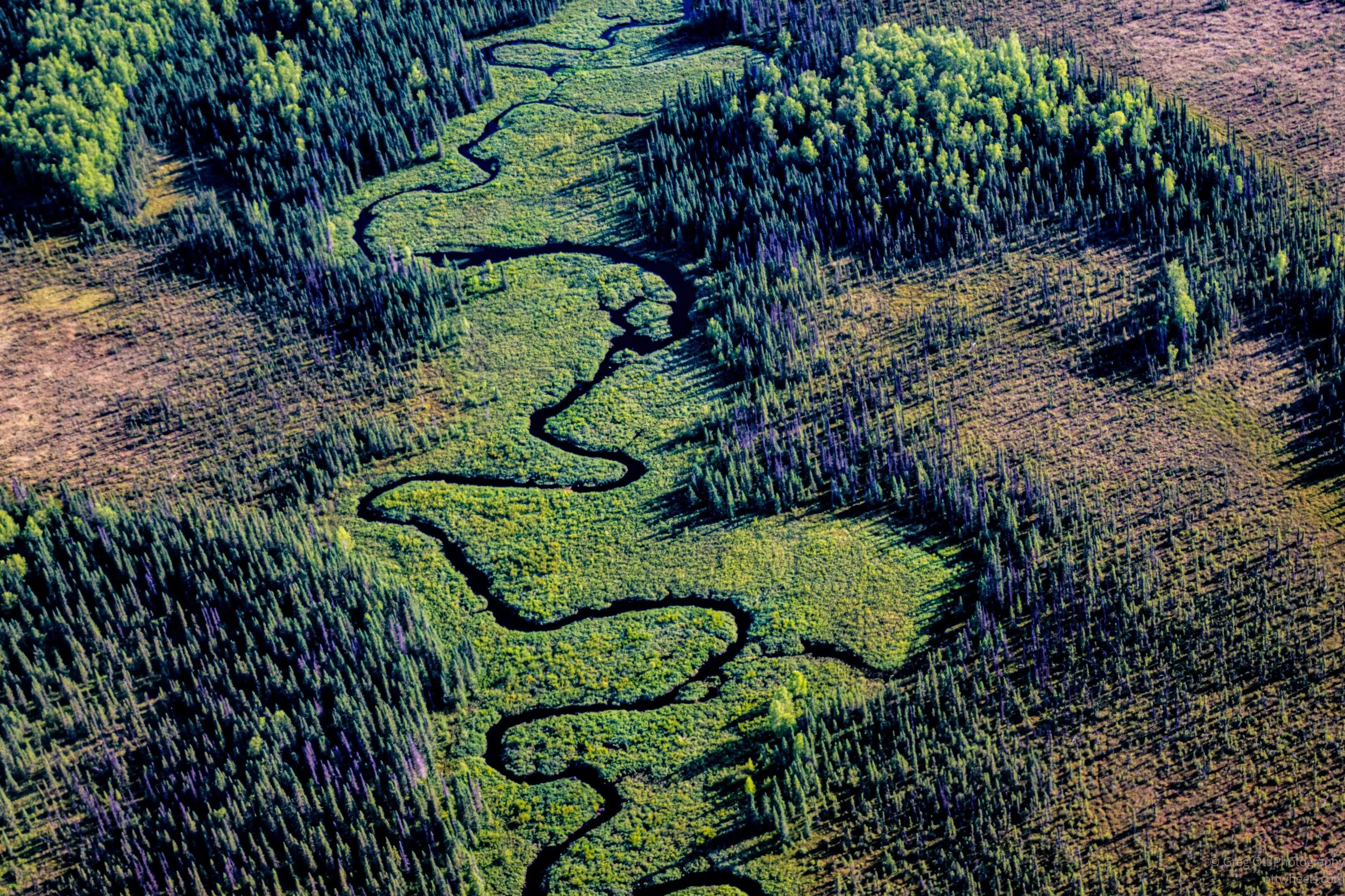
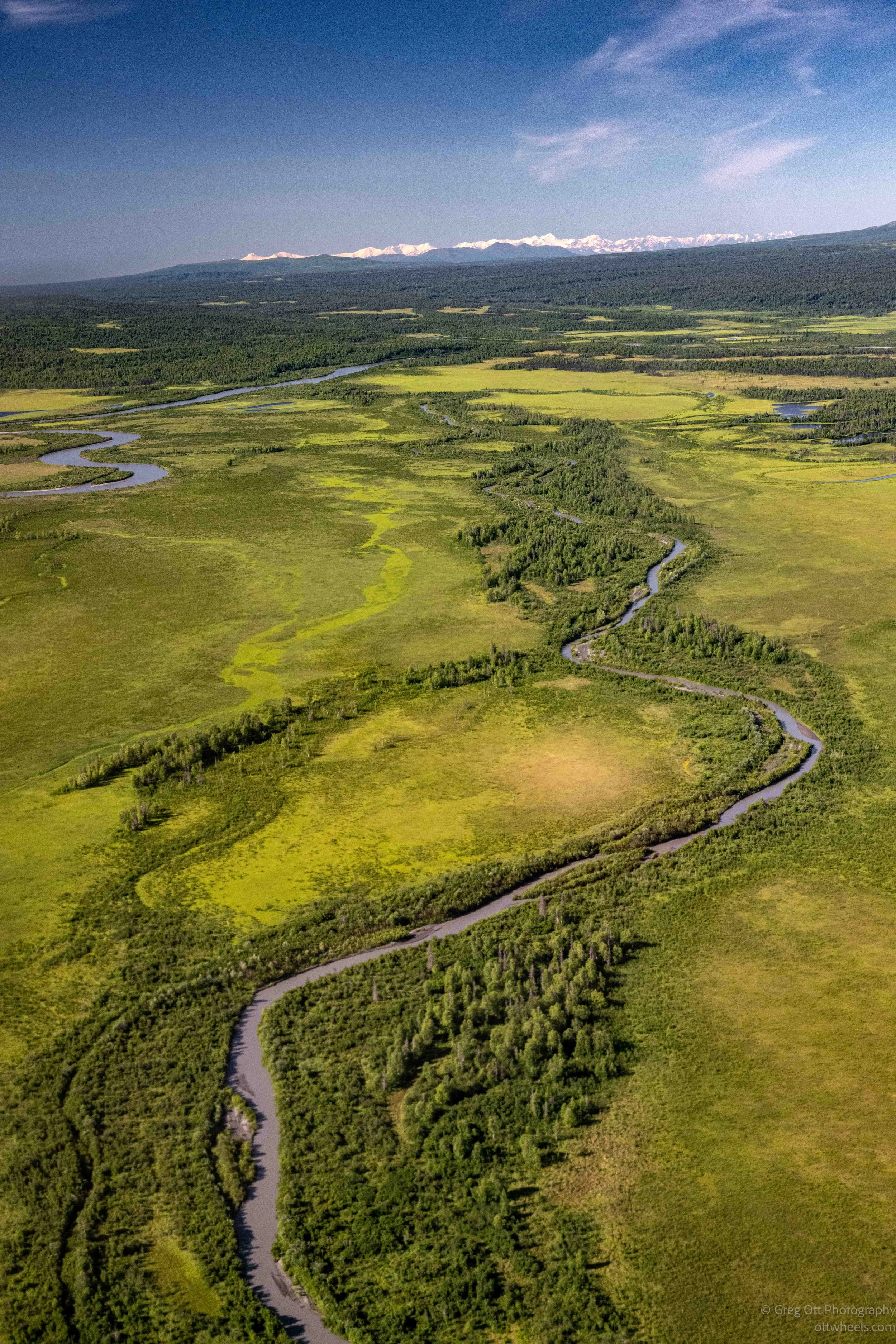
Within minutes of takeoff, I was looking down at the Susitna Valley as braided rivers wound through the forests below. It was a peaceful start to the flight, and at that point I had no idea just how dramatically the scenery was about to change.
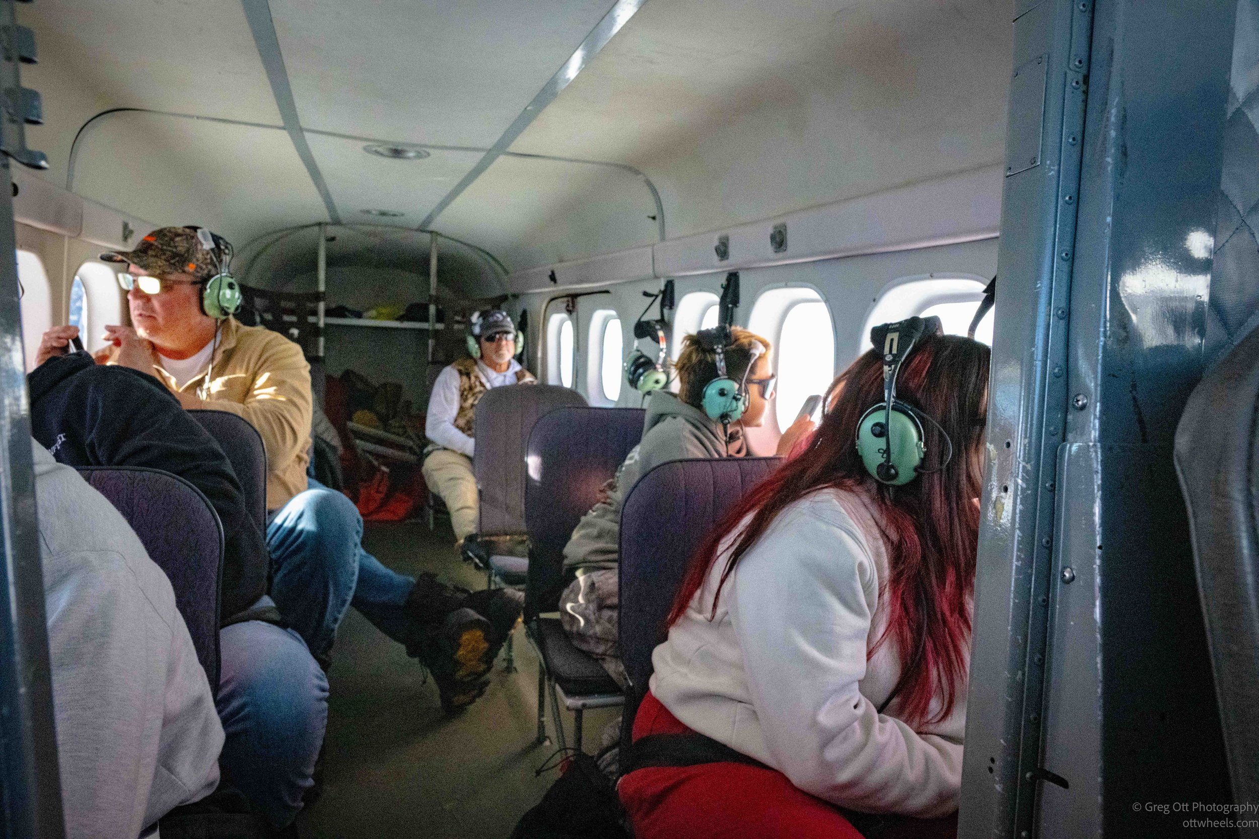
Each passenger wore a headset, so we could hear everything the pilot was saying. The microphones also allowed us to ask questions during the flight, although no one did. The pilot pointed out glaciers, peaks, waterways, and other landmarks as we flew, and I tried to keep track of as many names as I could.
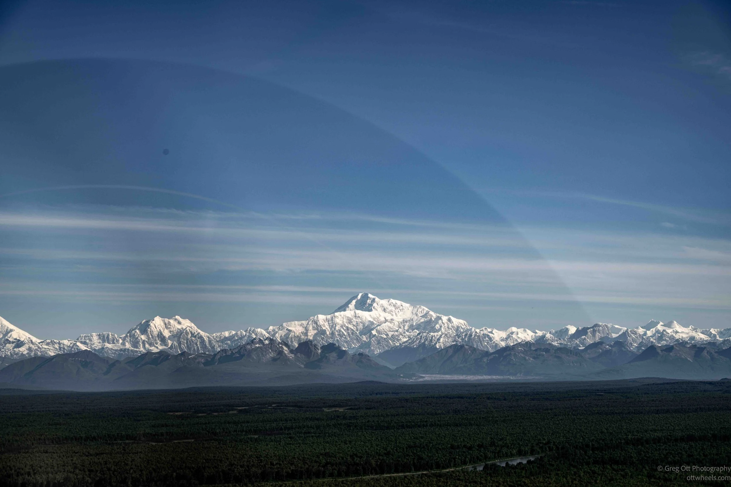
The weather was perfect. Our pilot said, "This is one of those five percent days in Alaska." He was referring to the fact that so many days here are rainy, overcast, windy, or simply not ideal for flightseeing. I had to agree. The views were spectacular, and the sky was remarkably clear. Usually there's enough moisture in the air to create a haze that softens distant landscapes and prevents truly crisp photographs.
Into the Foothills
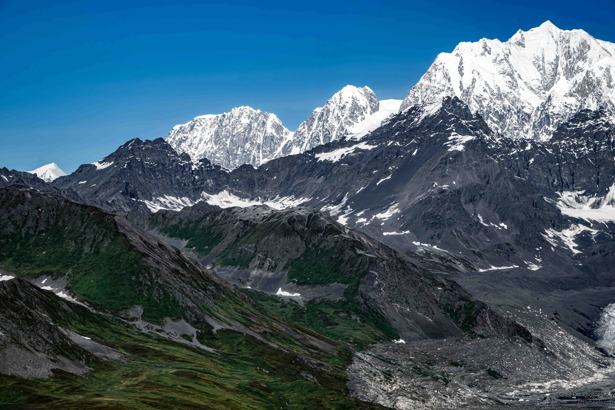
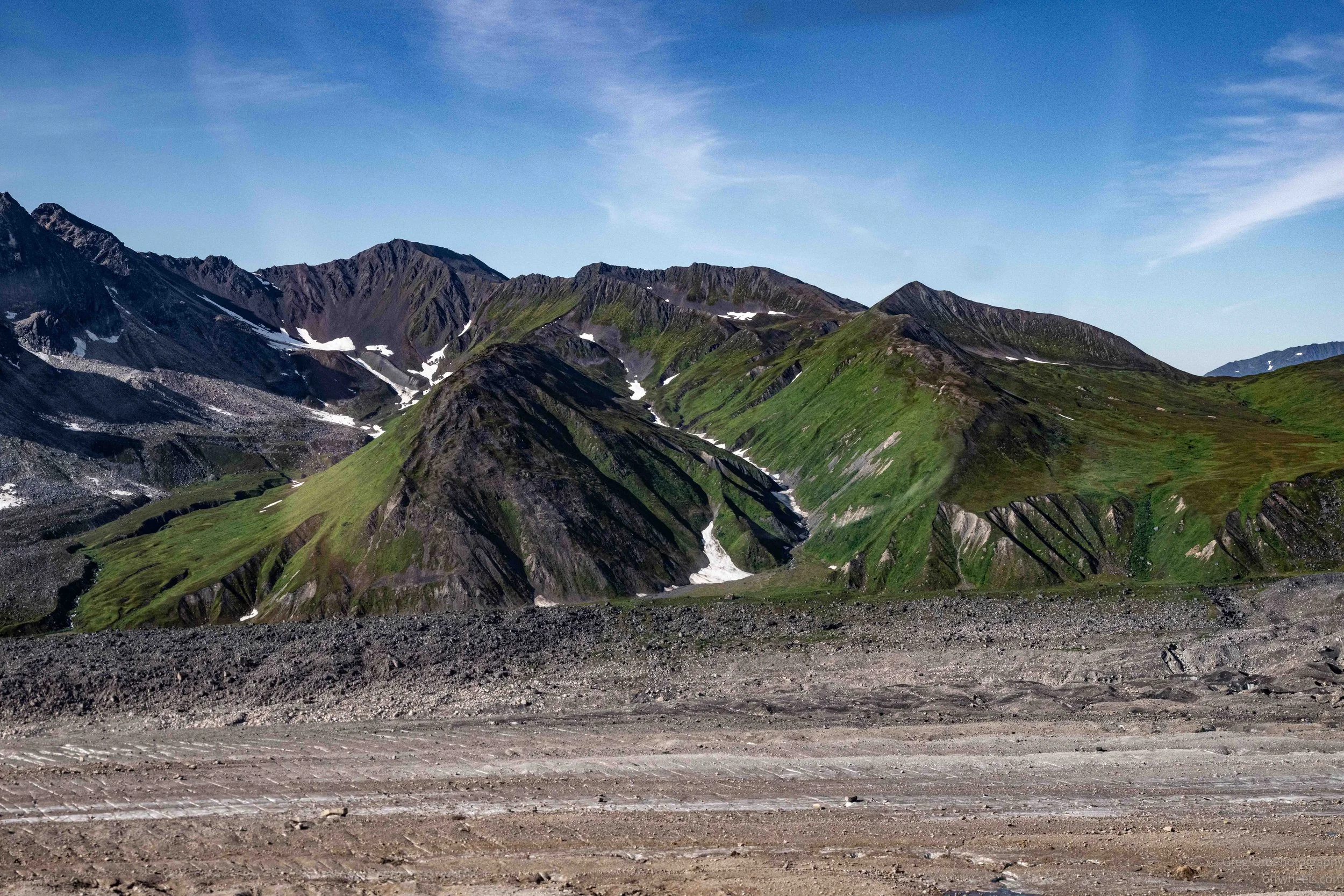
As we continued toward the Alaska Range, the forests slowly gave way to rolling foothills streaked with patches of snow. Glacial valleys began cutting between the ridges, and the first major peaks appeared ahead. It felt like we were leaving one landscape behind and entering another.
Entering High Alpine Country
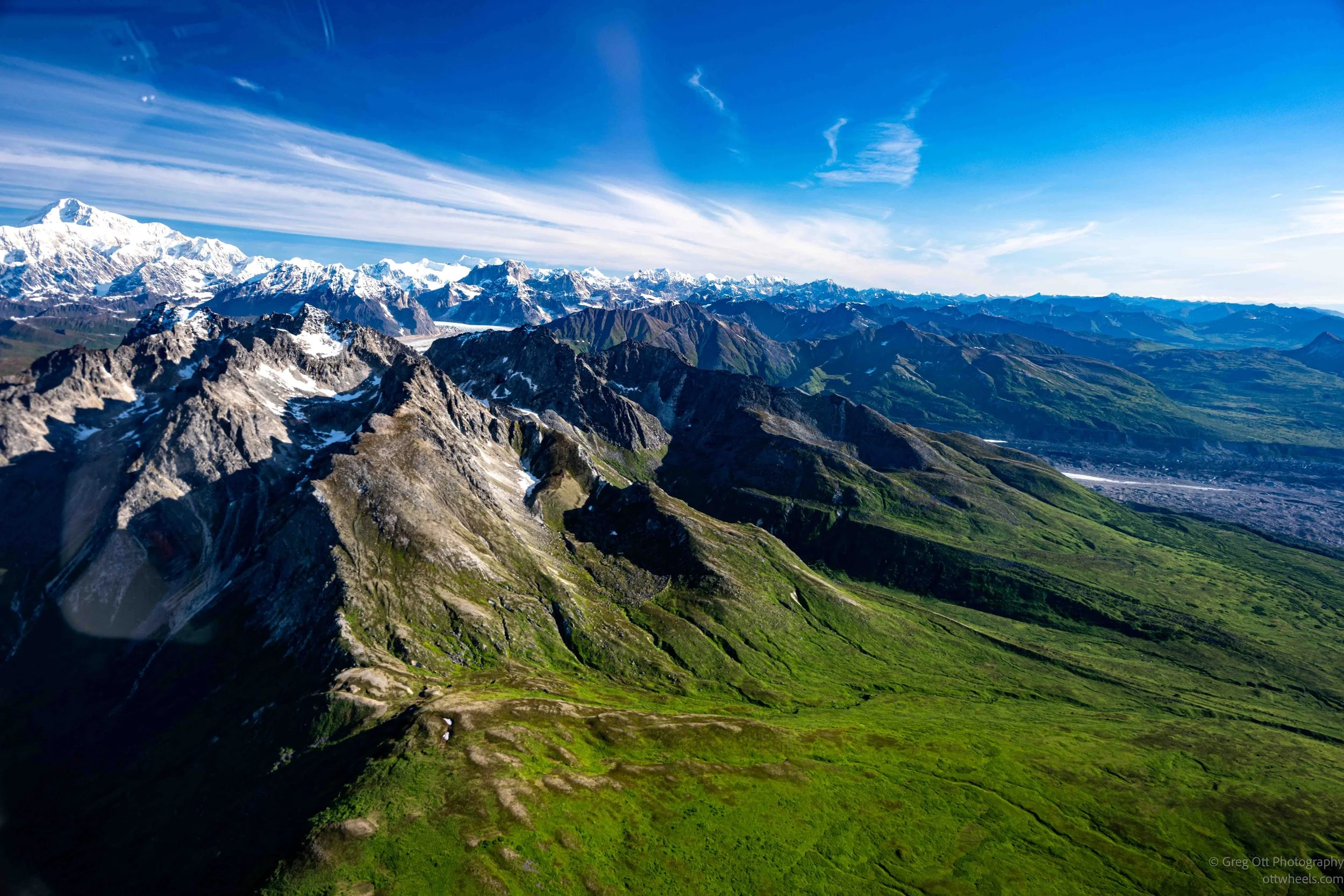
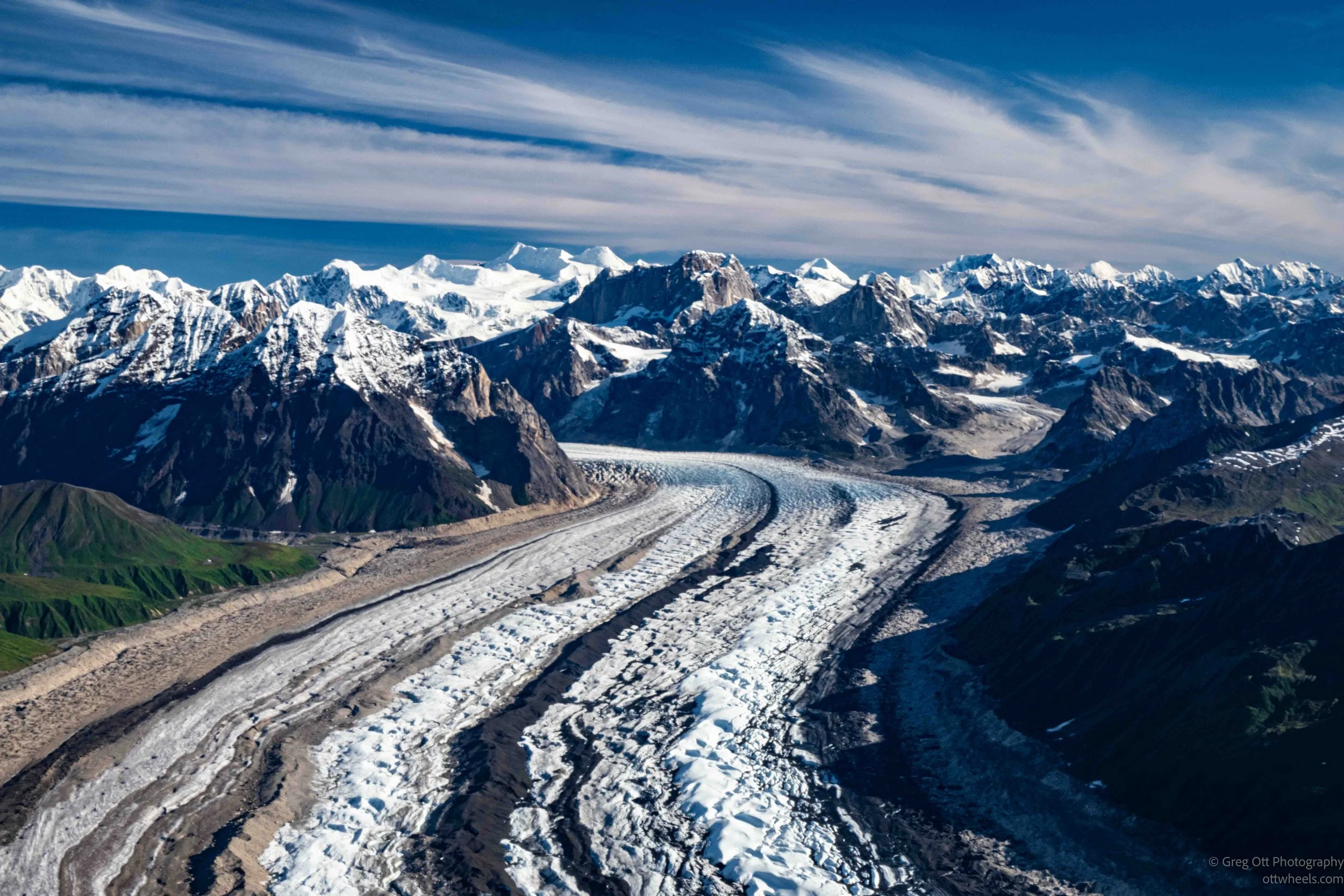
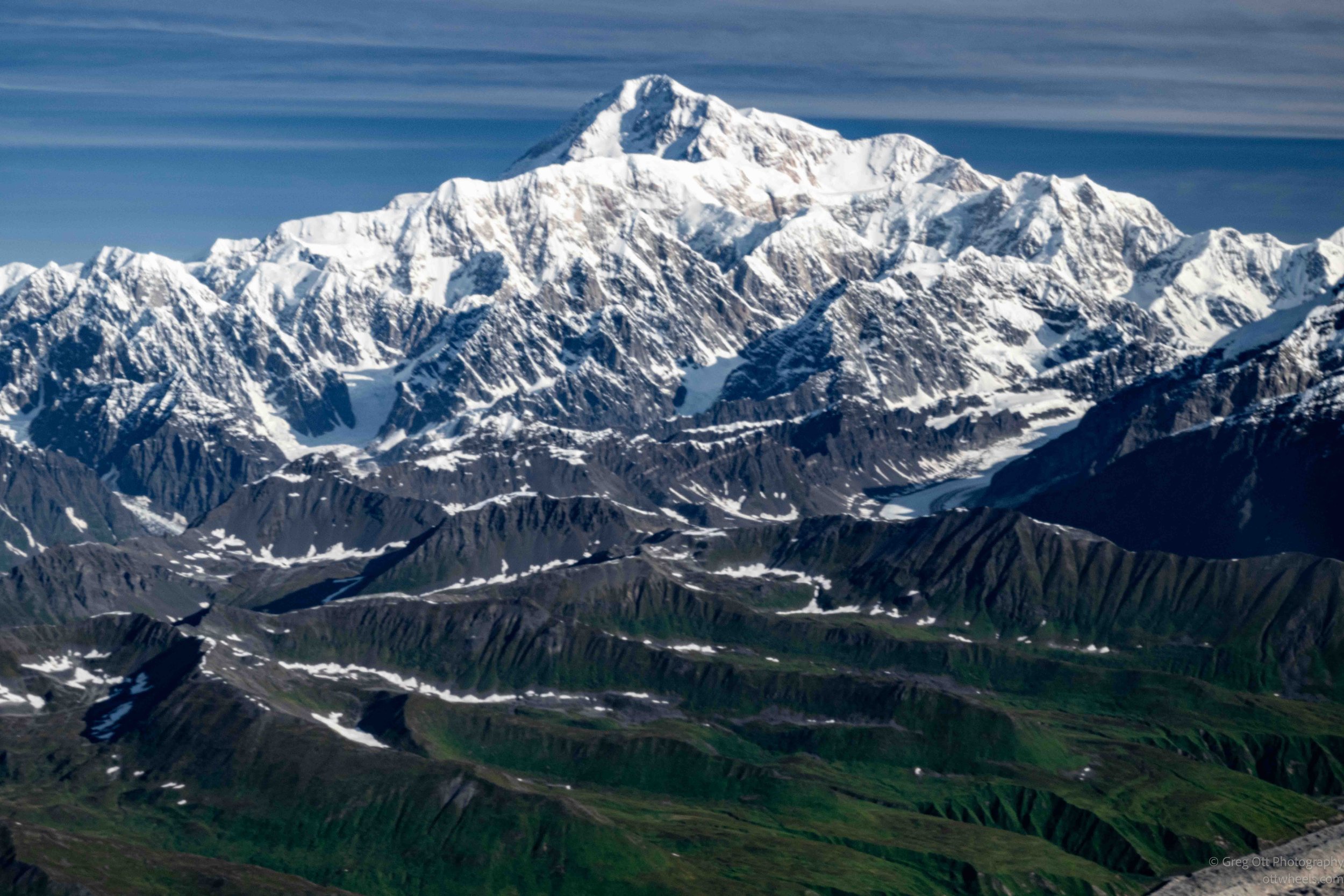
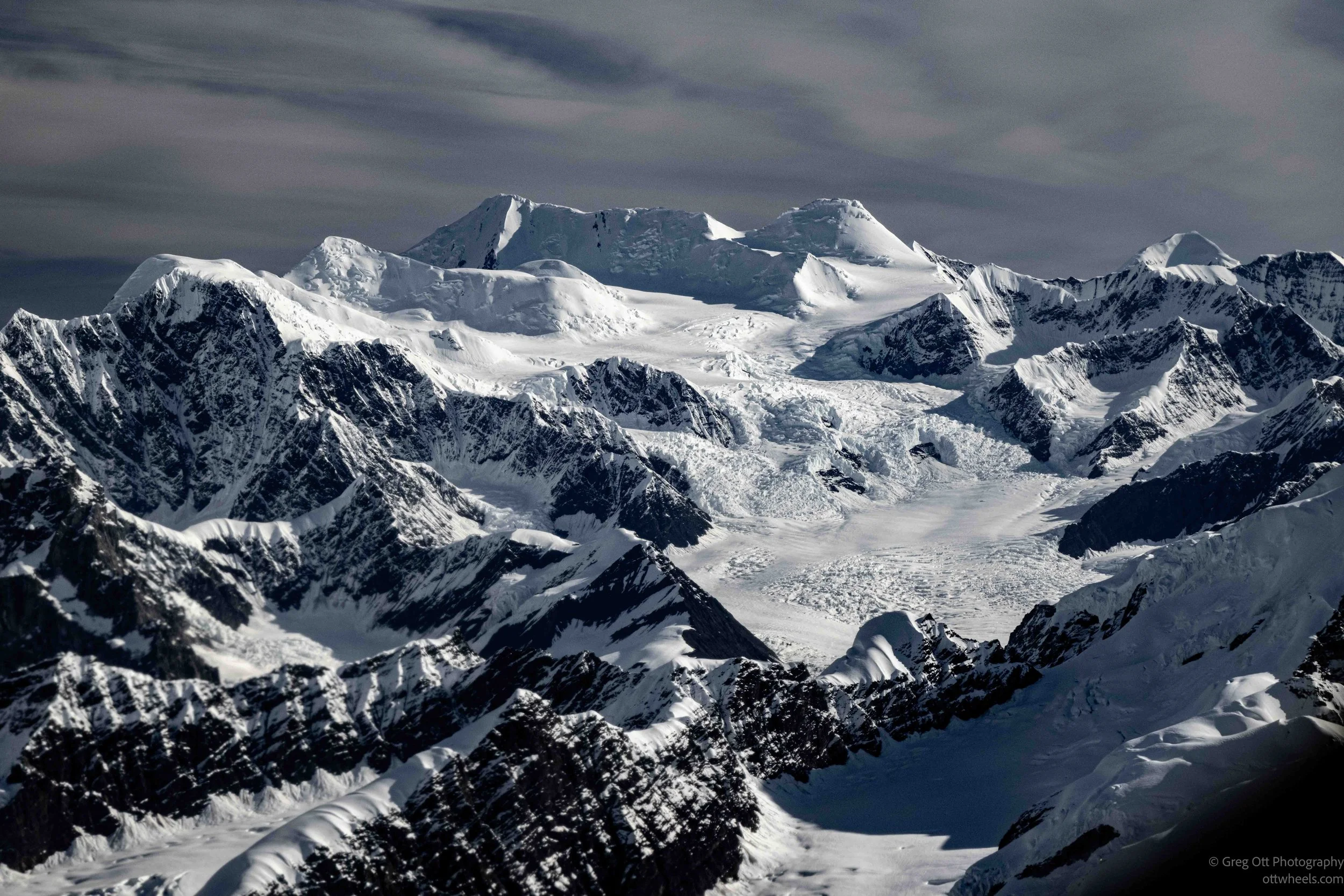
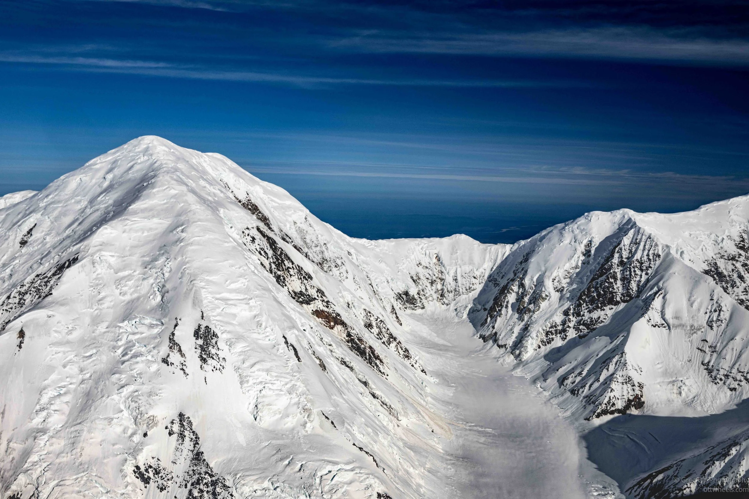
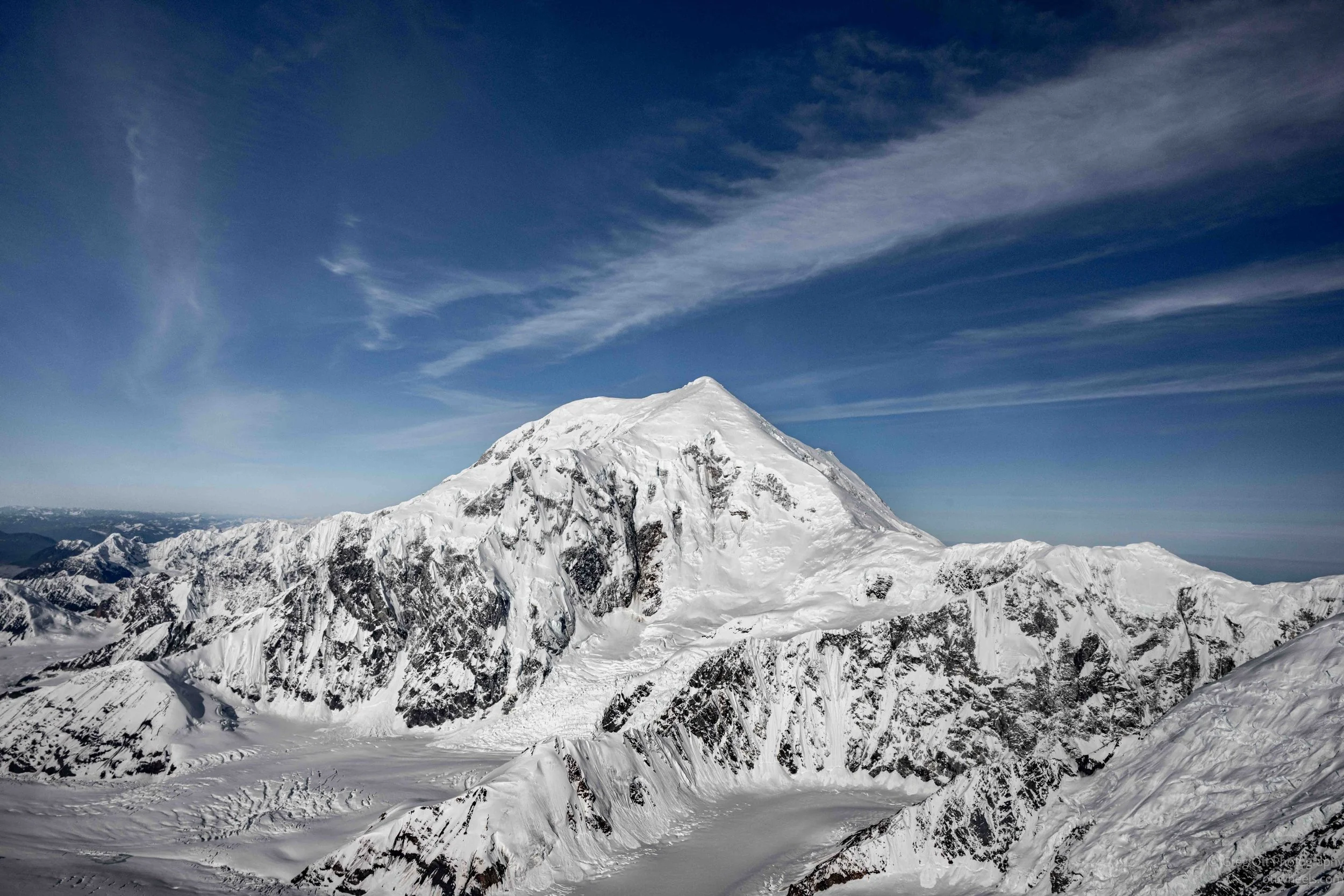
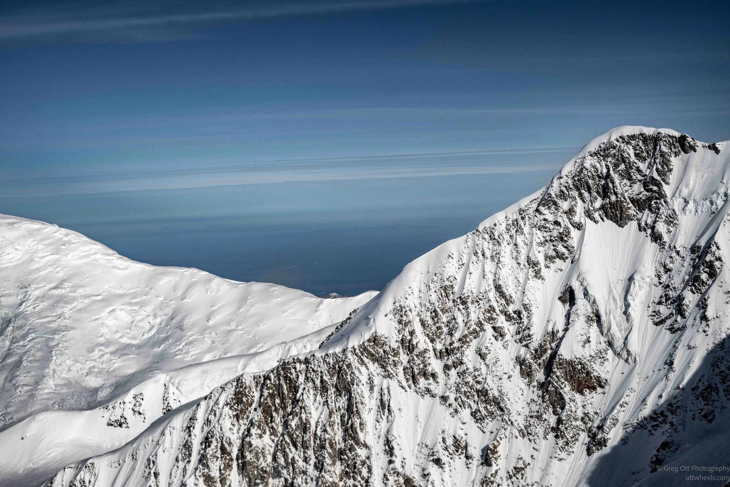
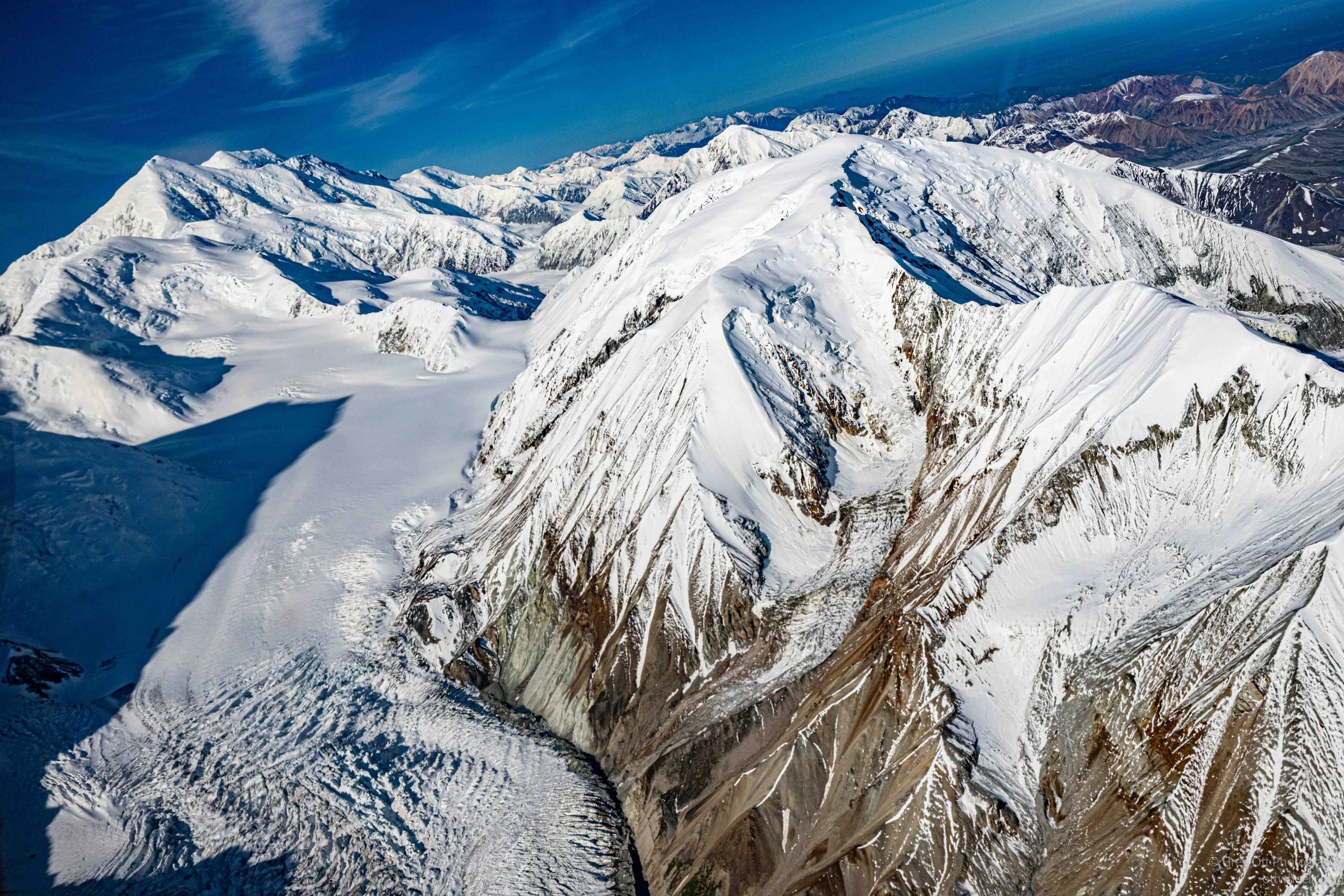
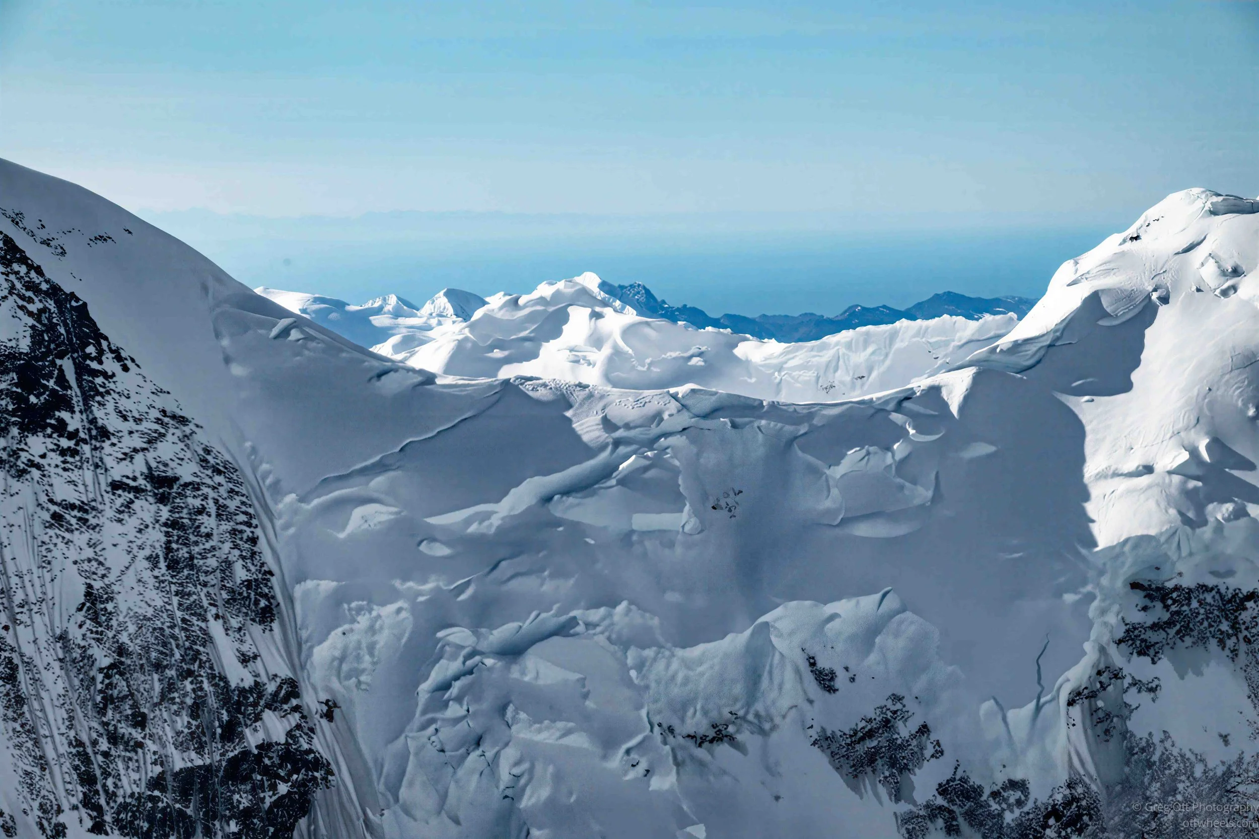
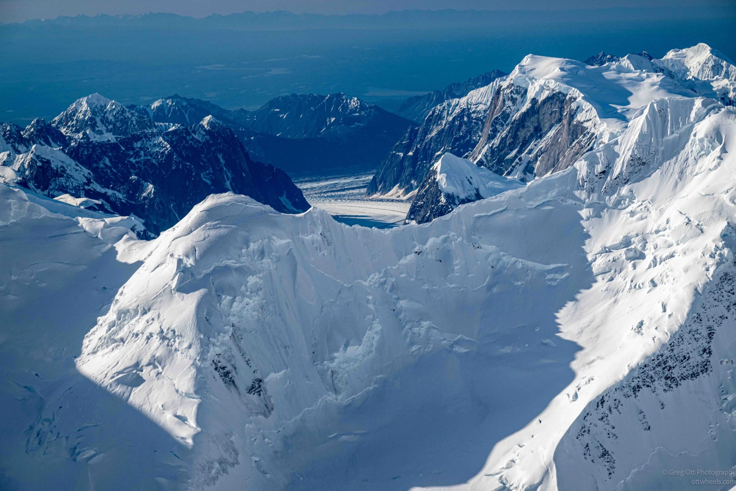
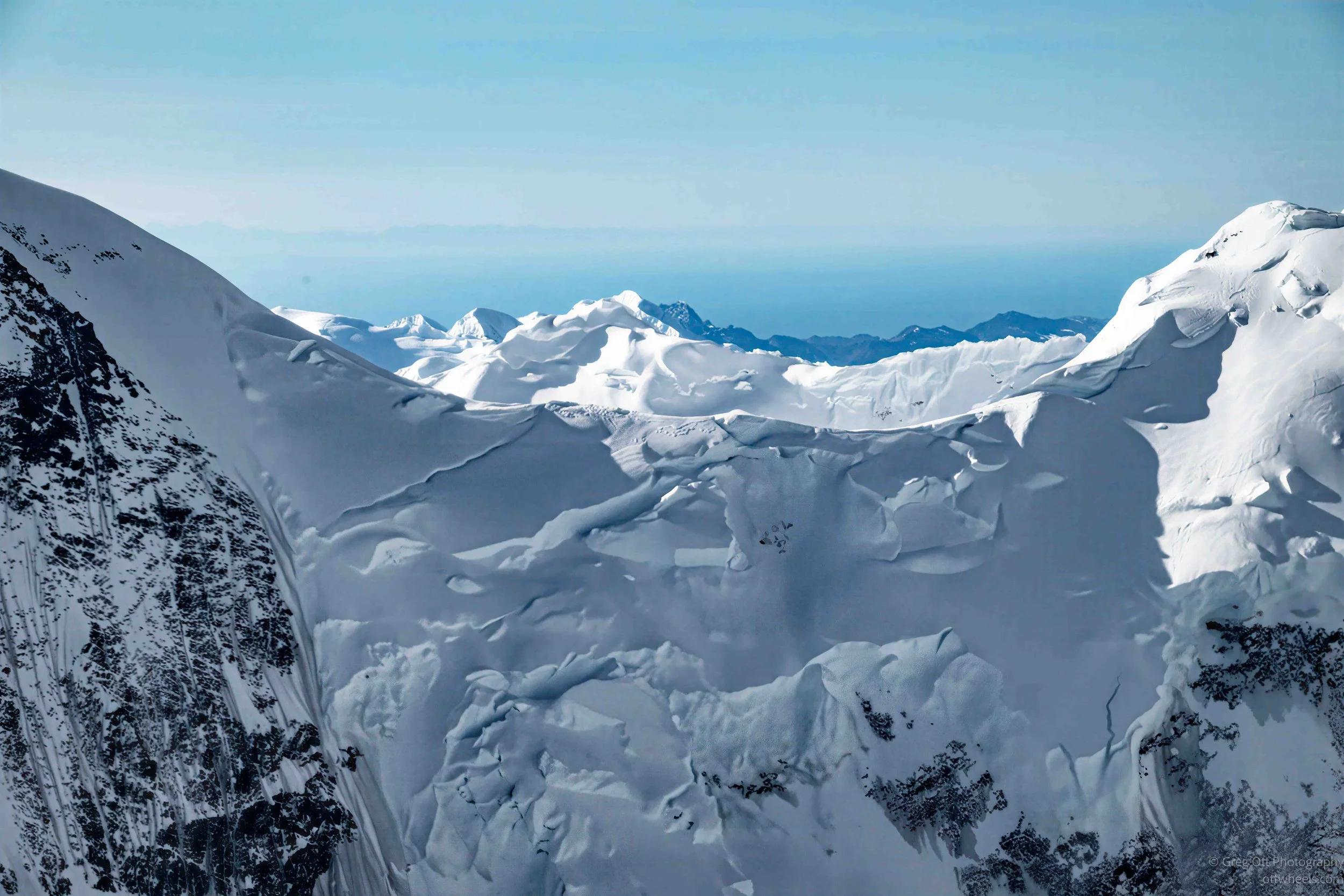
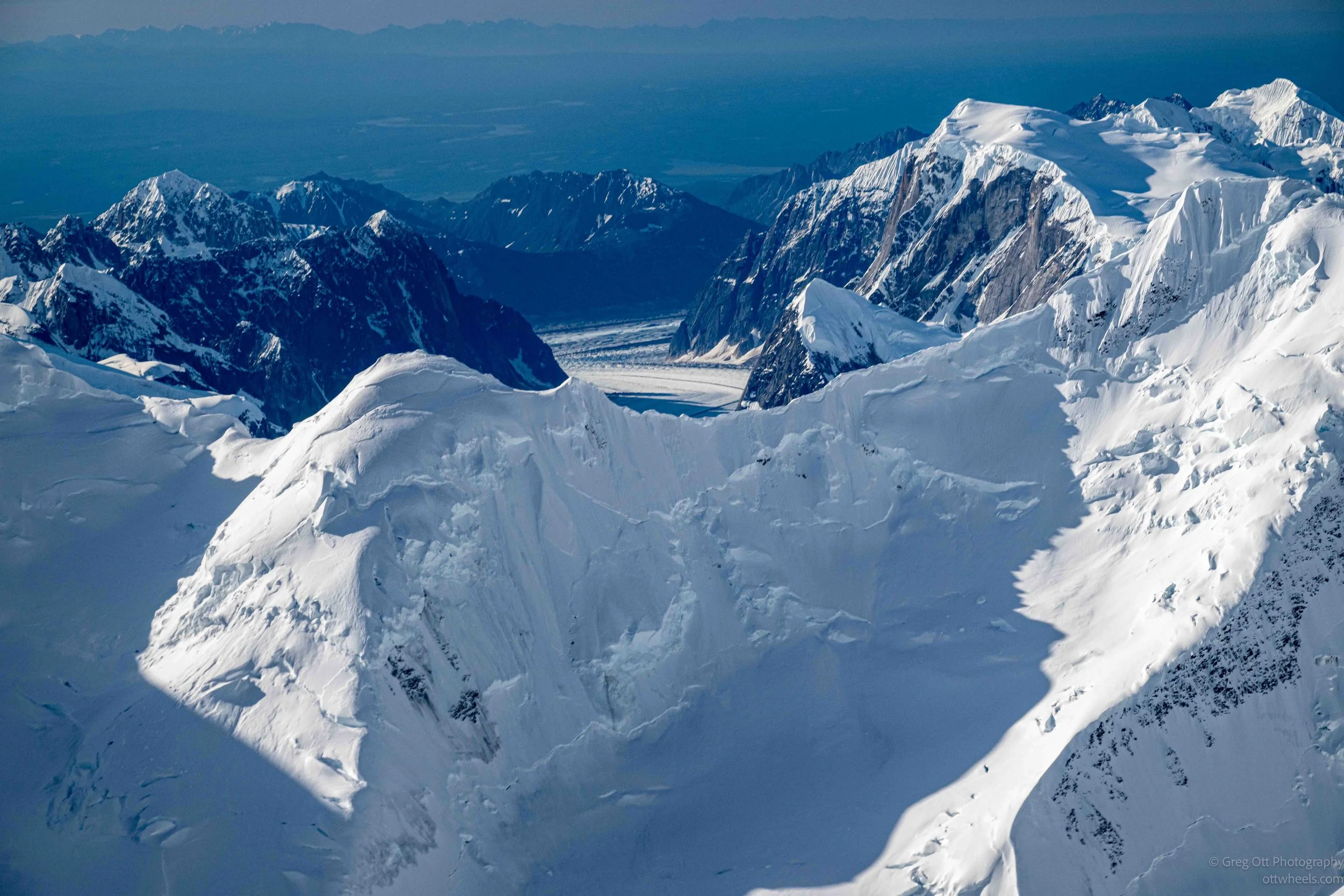
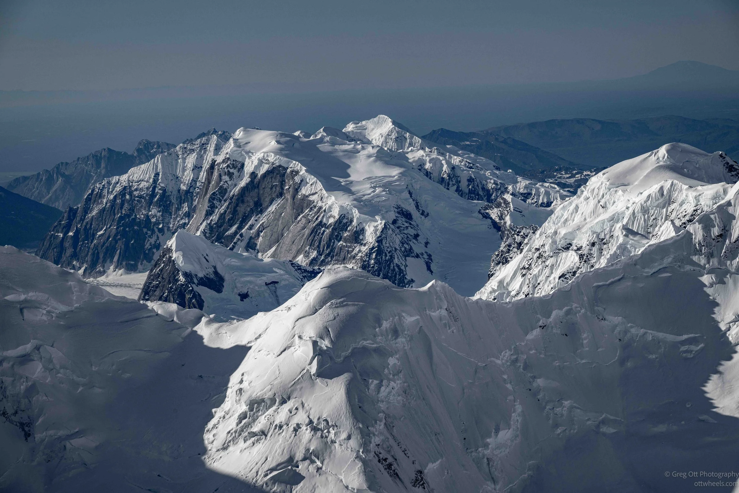
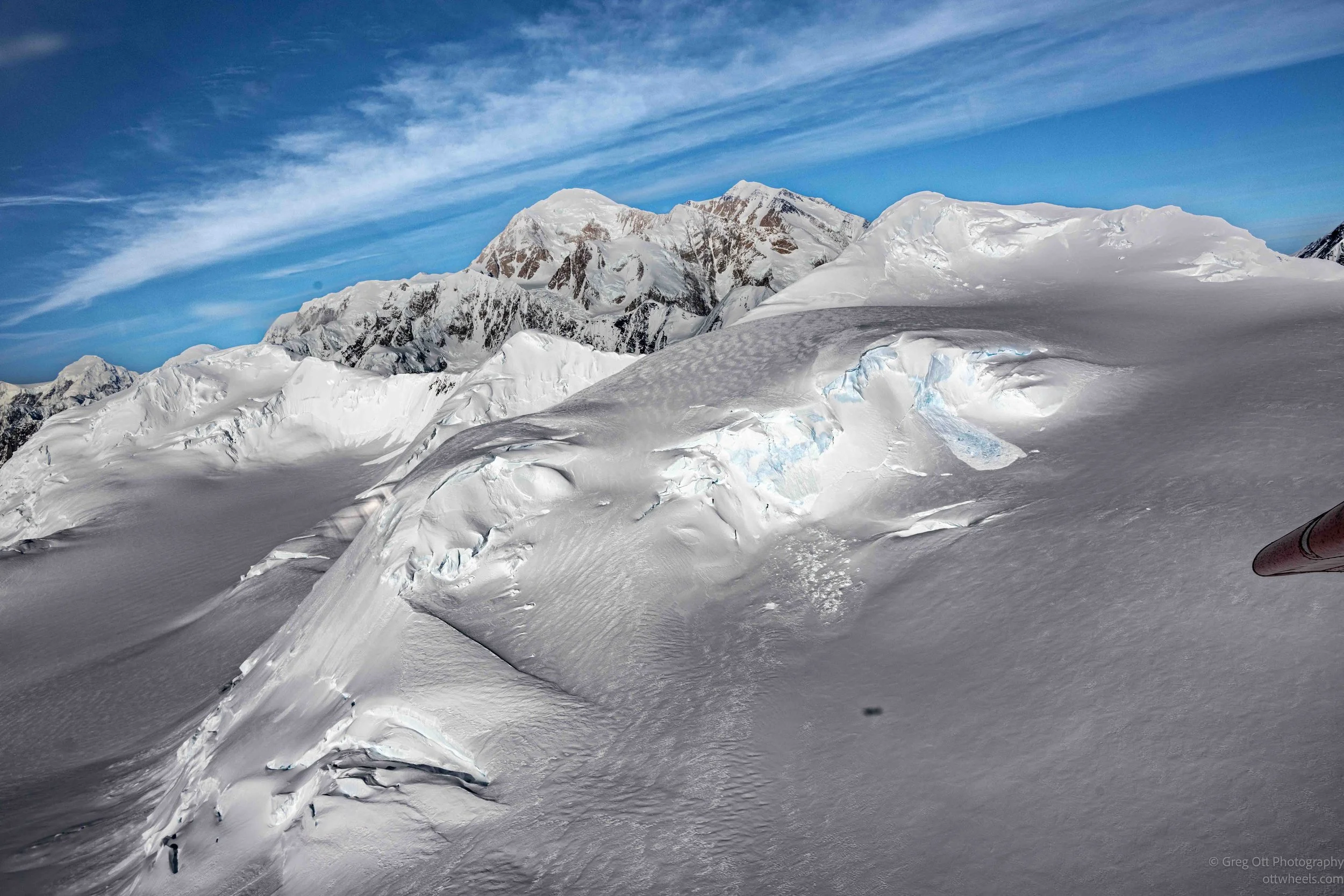
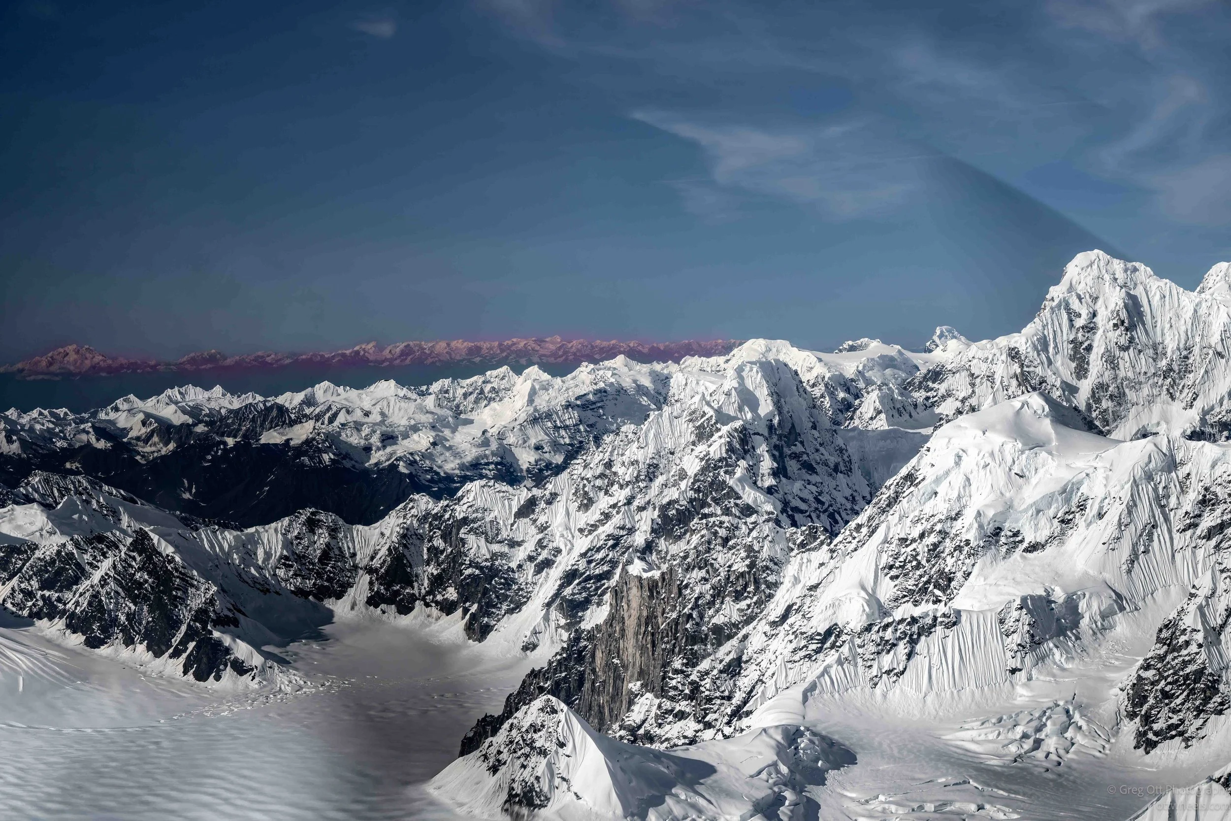
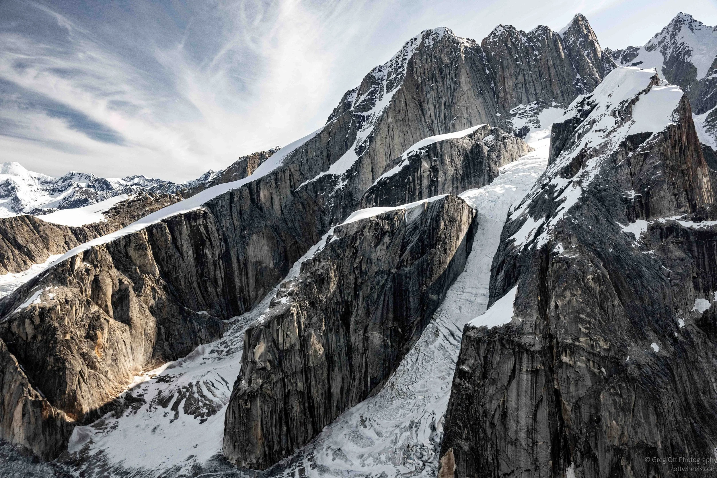
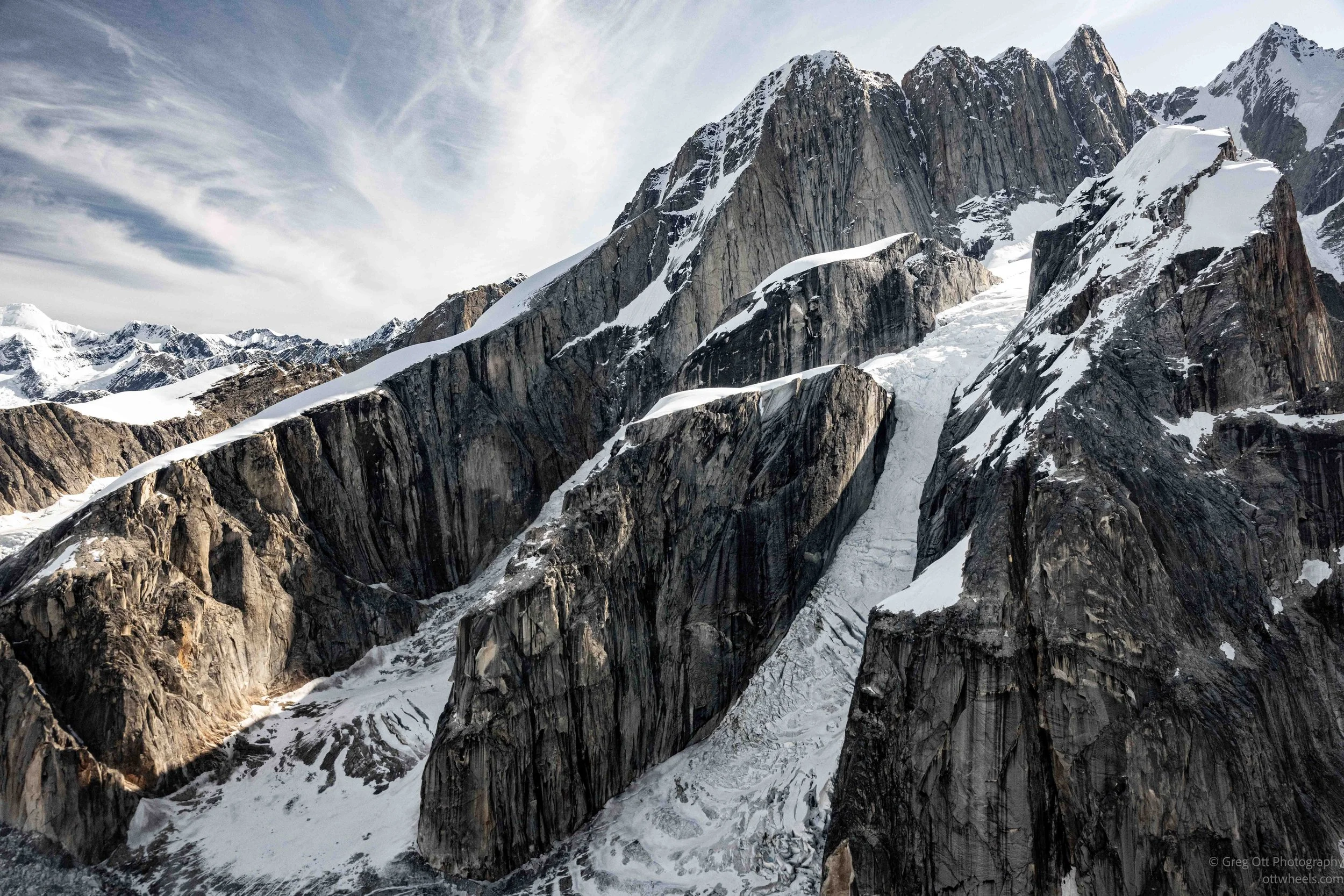
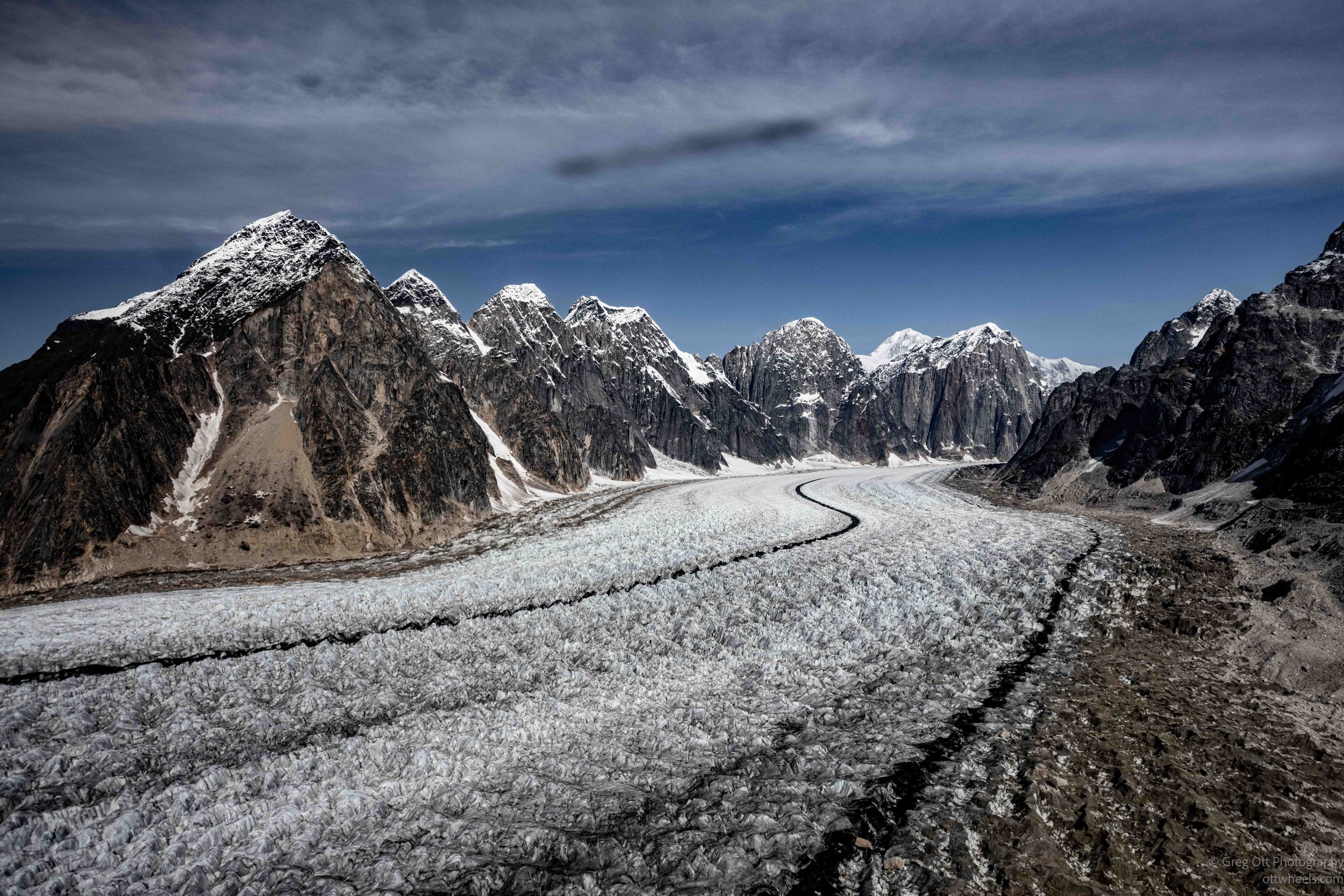
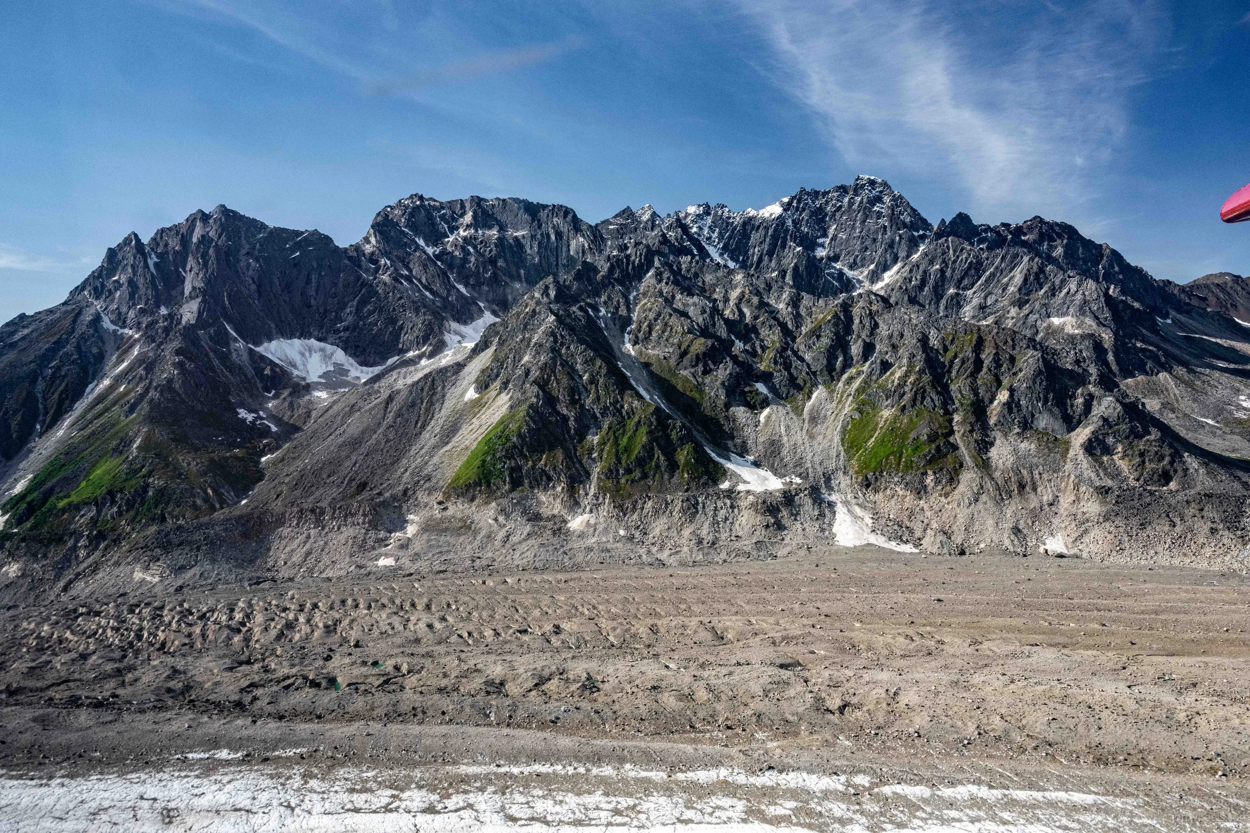
Before long, the rivers had disappeared beneath us, replaced by snowfields, glacier ice, and rugged mountain ridges stretching to every horizon. Looking out the window, it became almost impossible to judge distance or scale because everything was so much larger than it appeared from the ground. Every few minutes another glacier or mountain came into view.
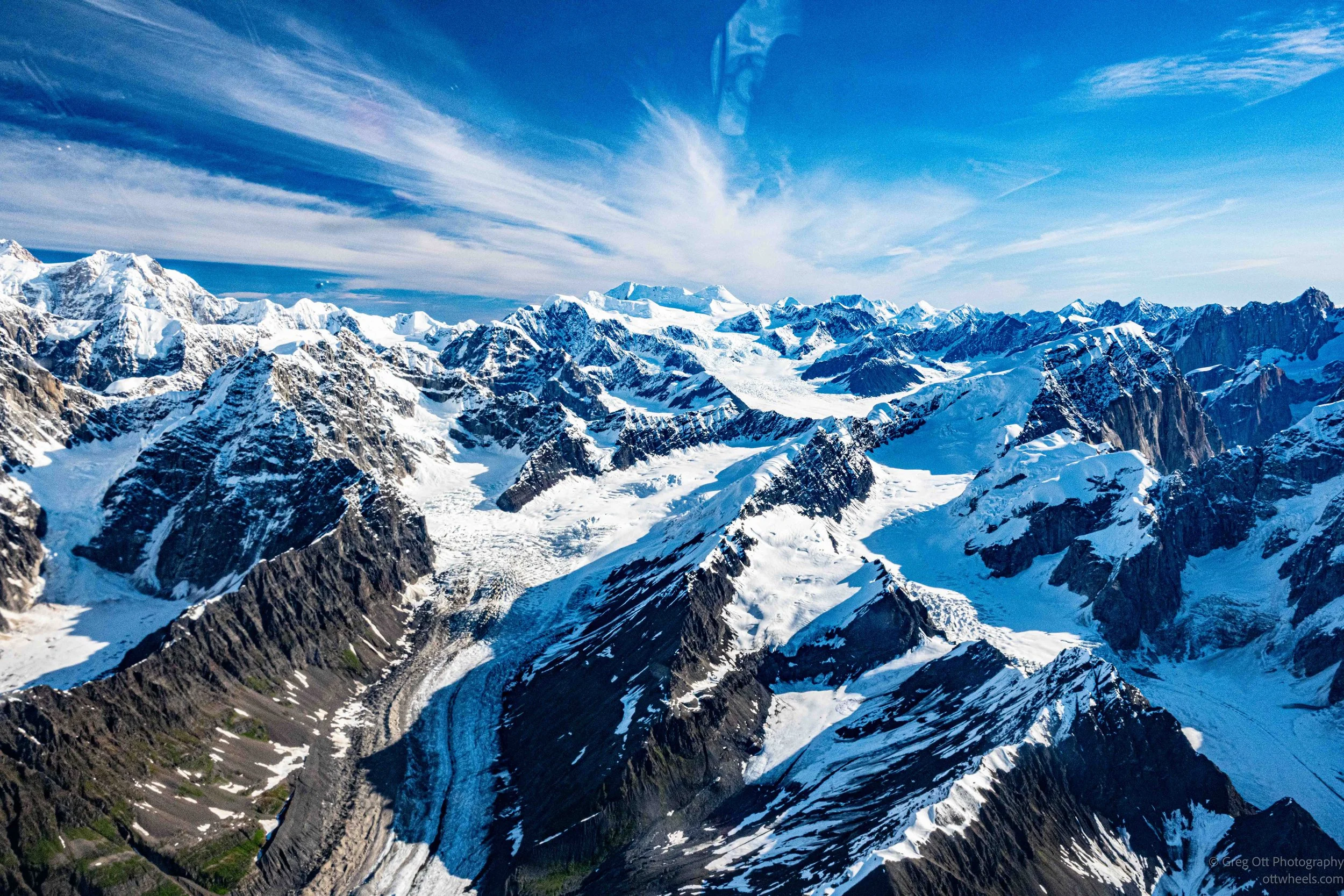
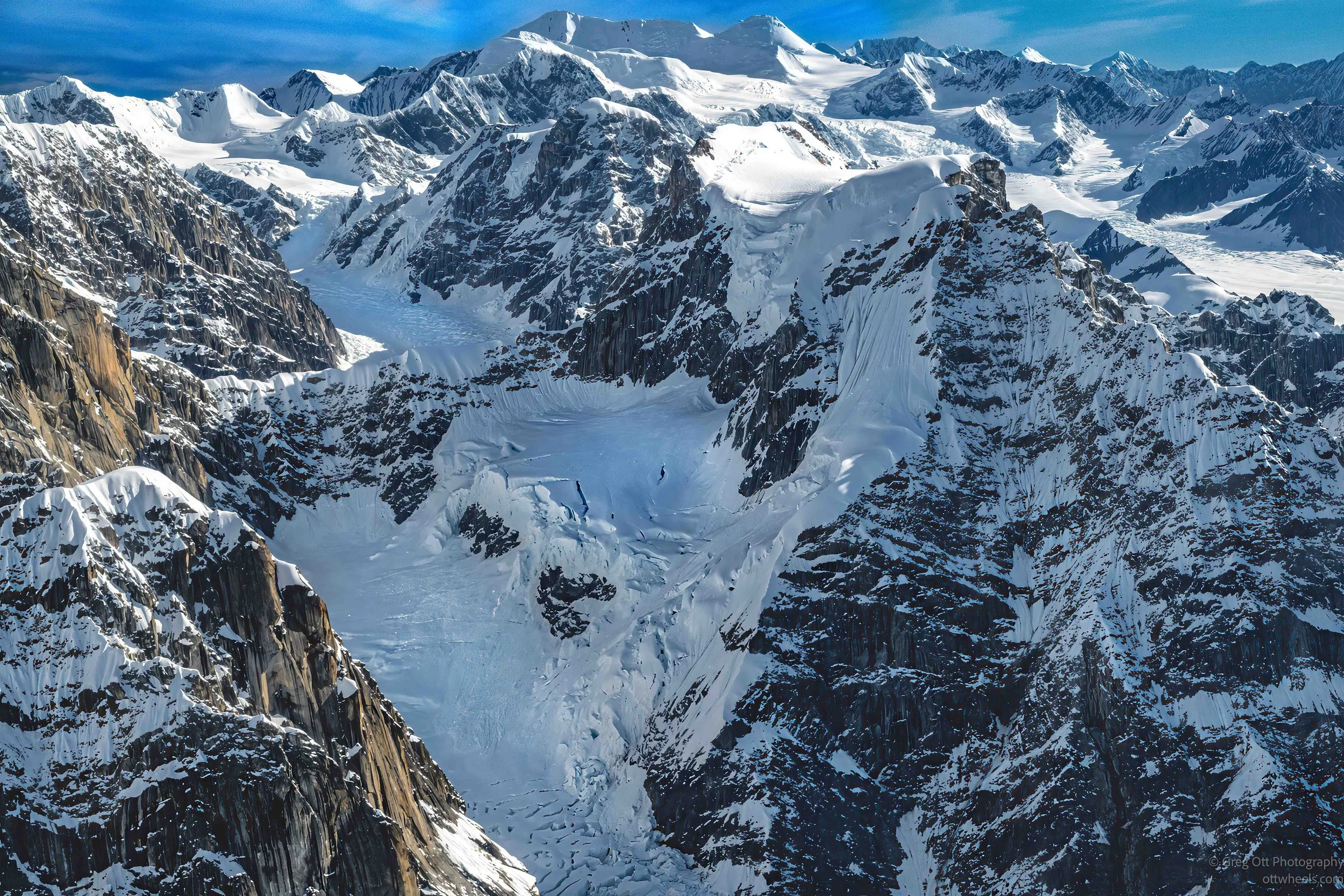
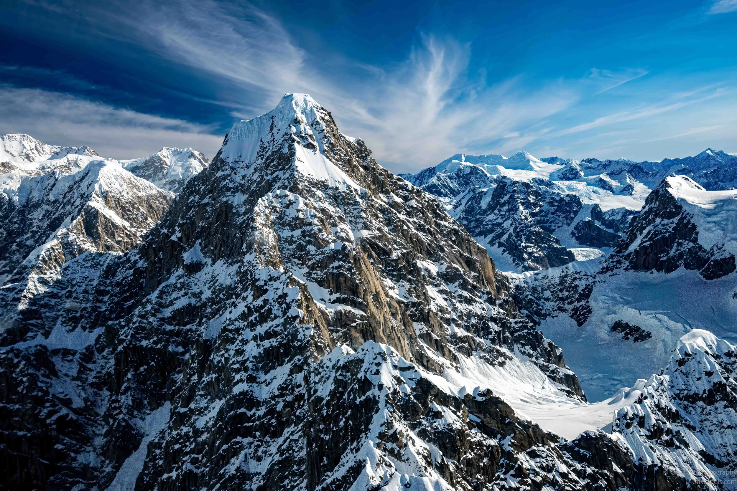
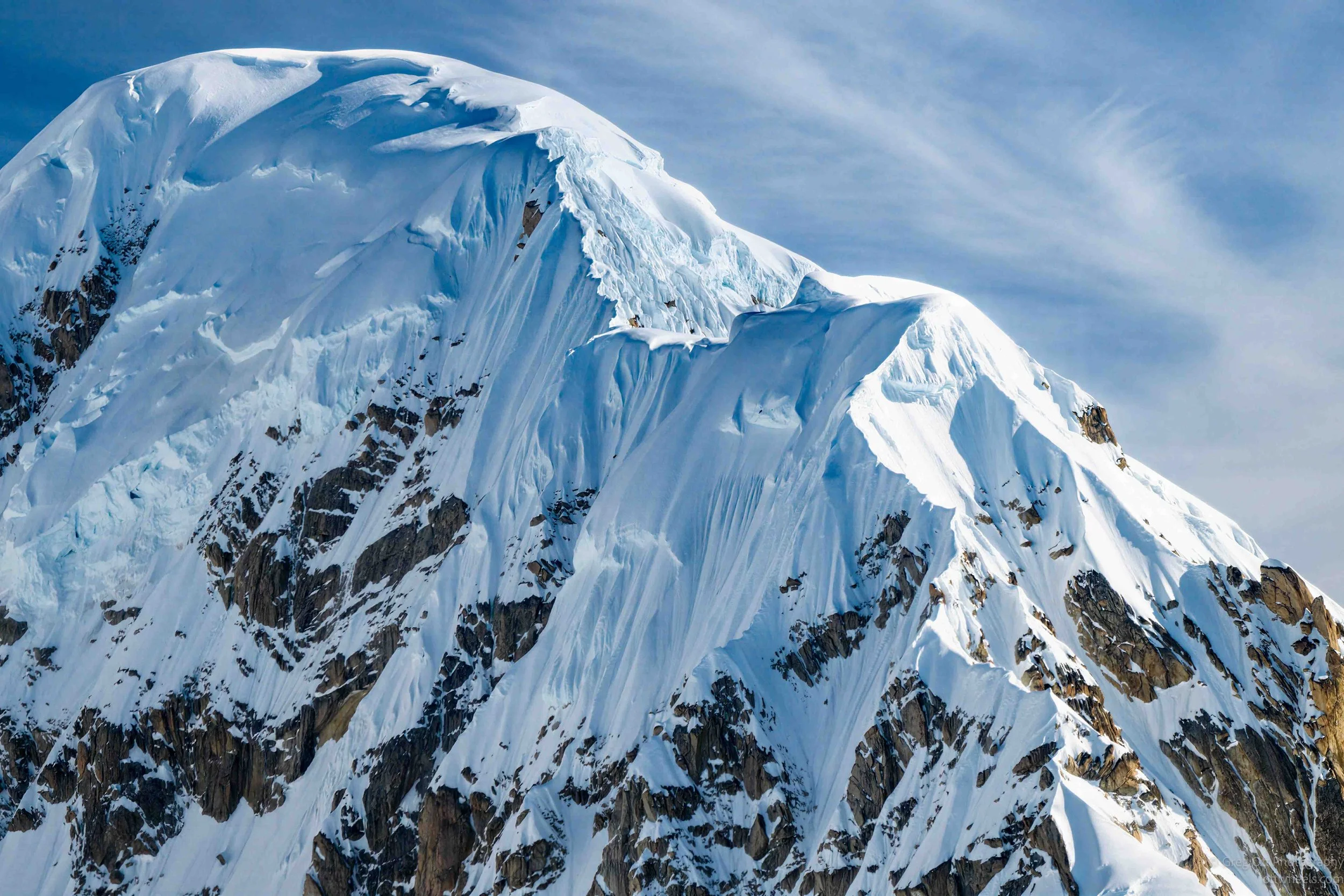
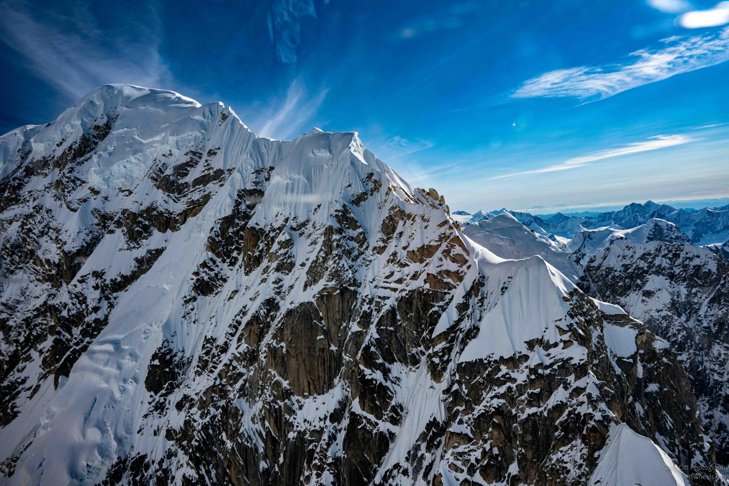
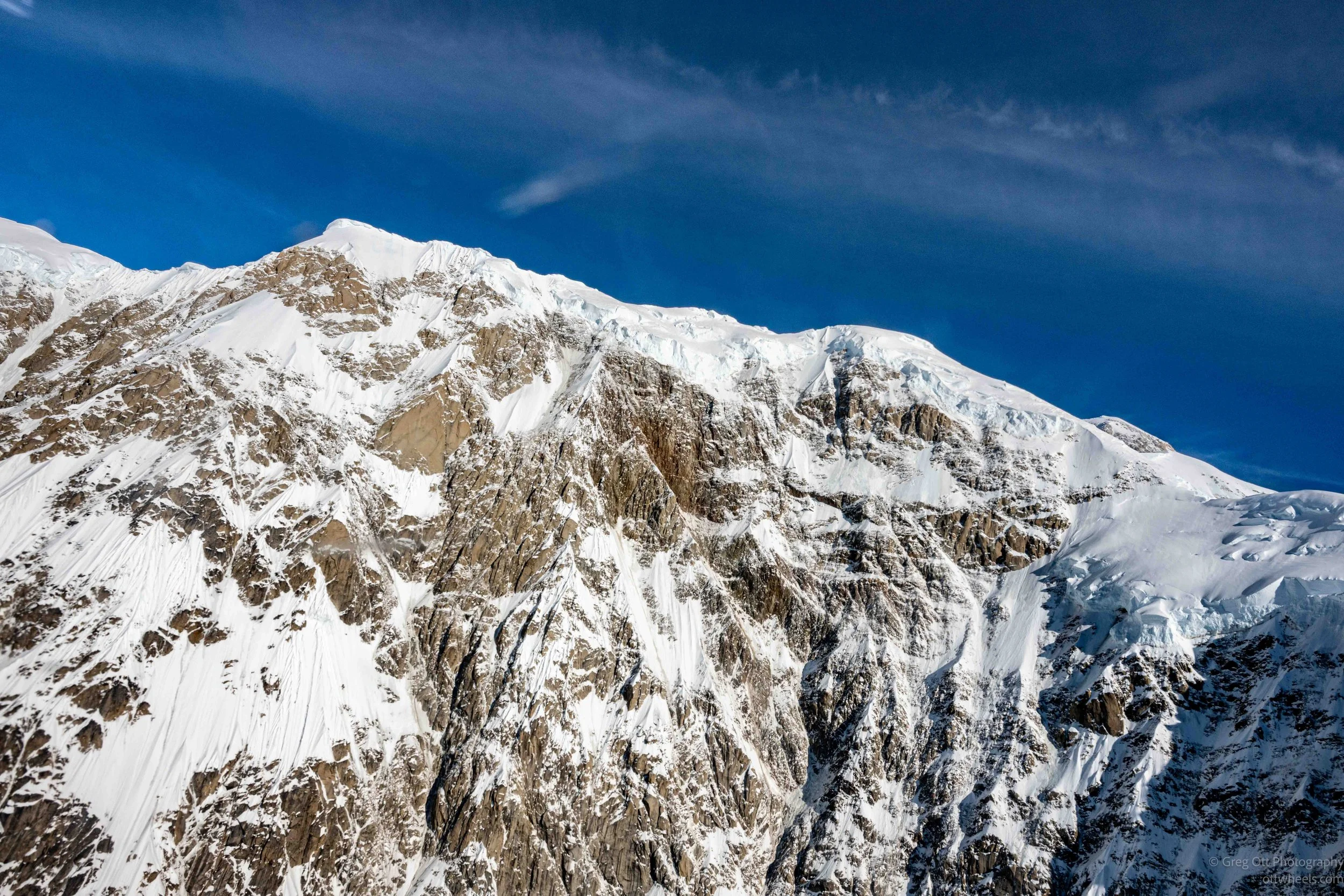
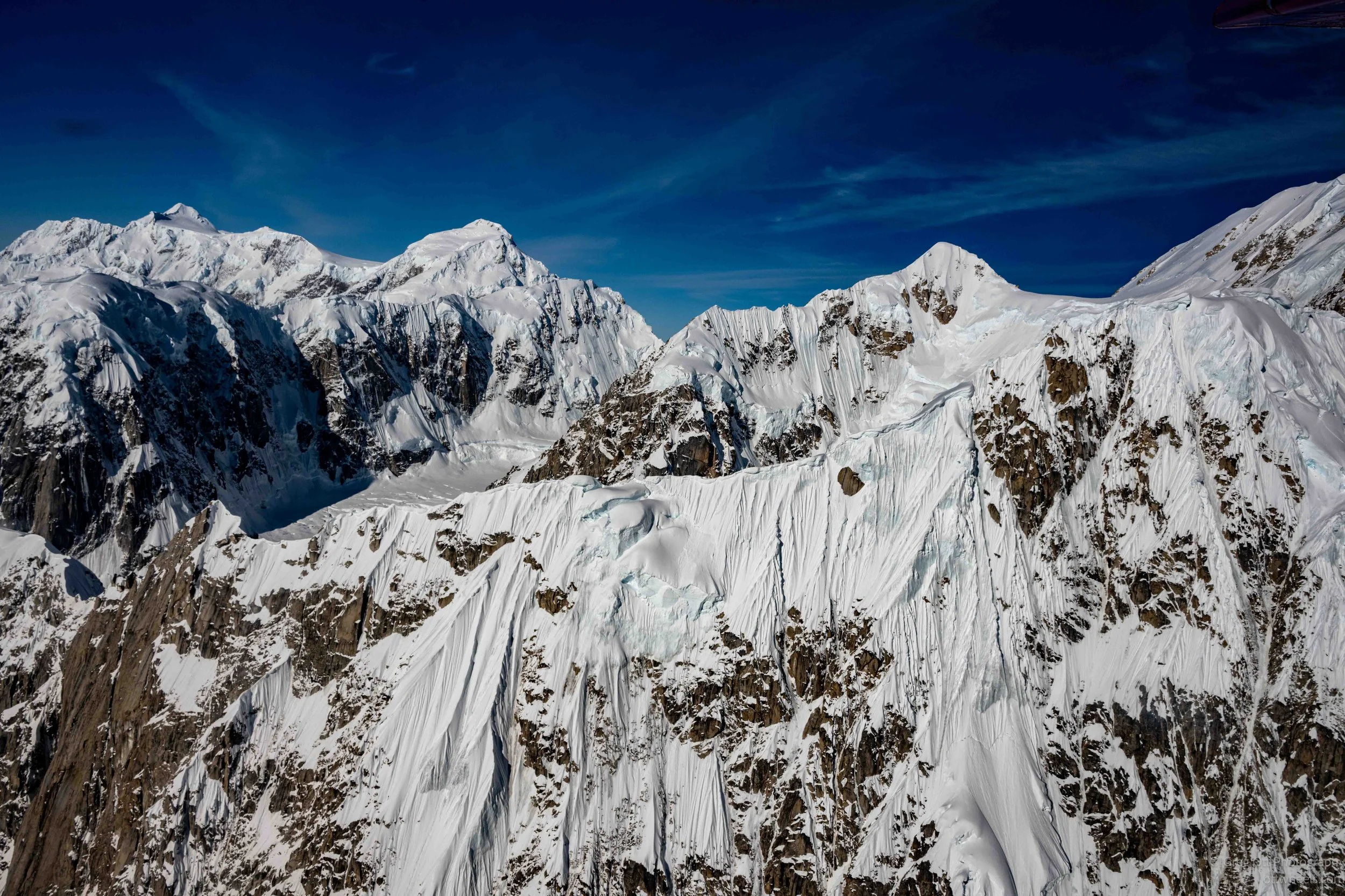
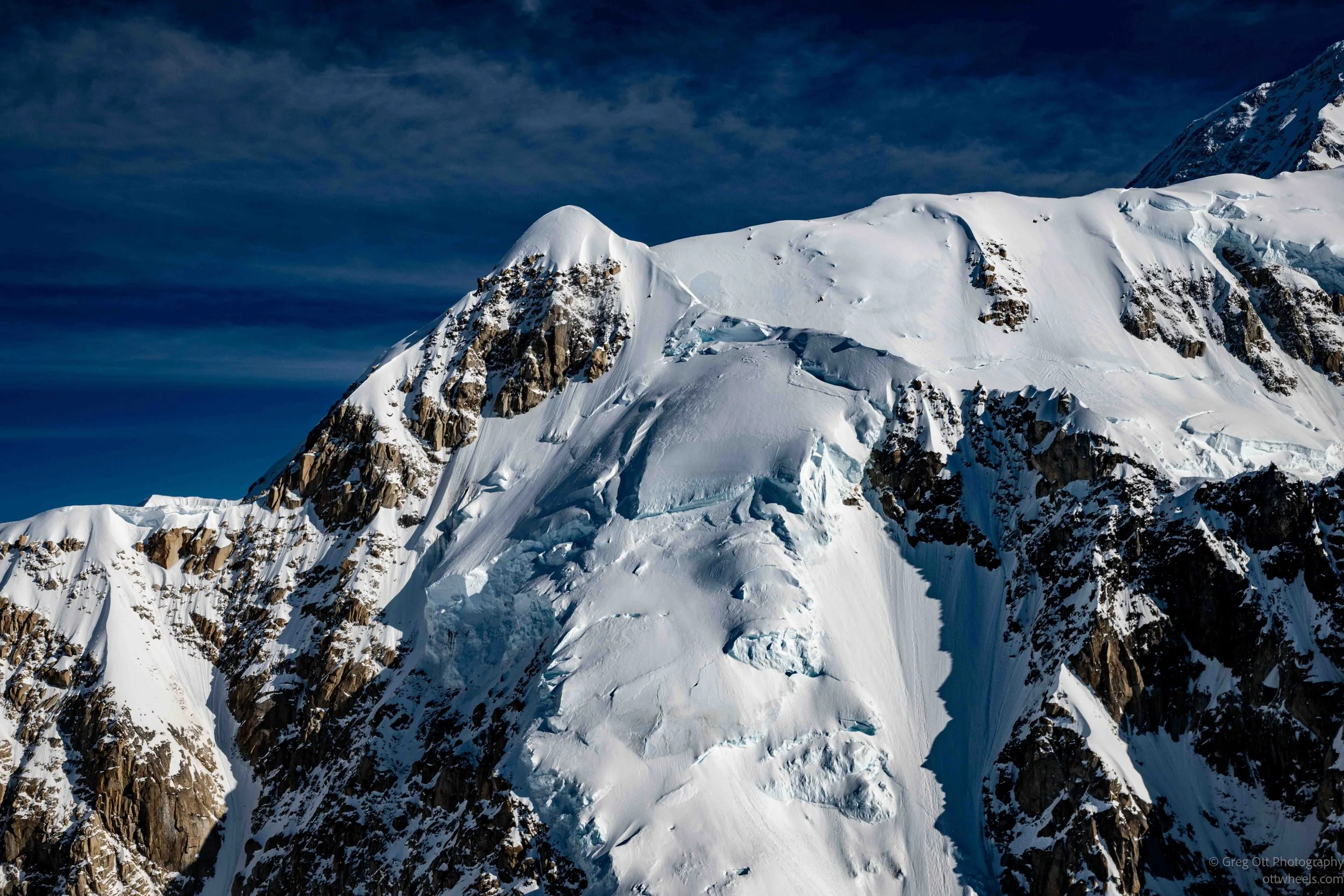
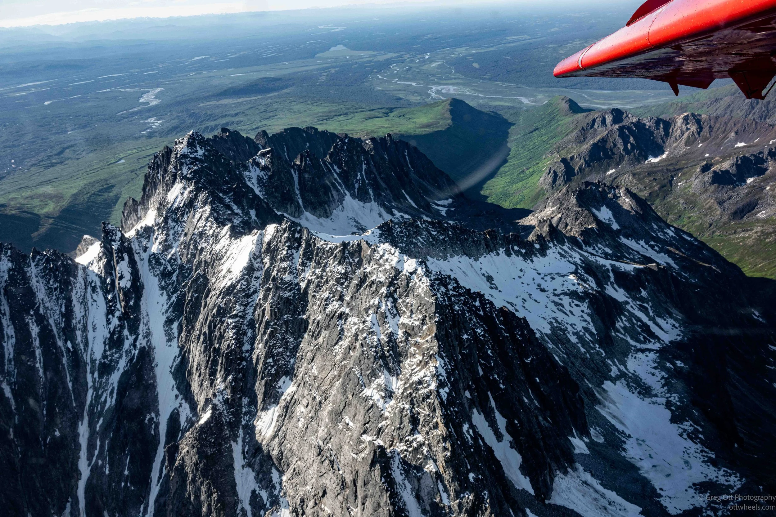
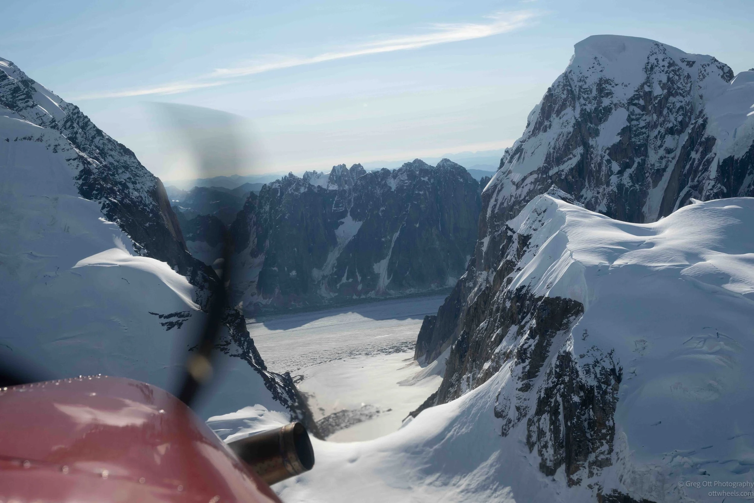
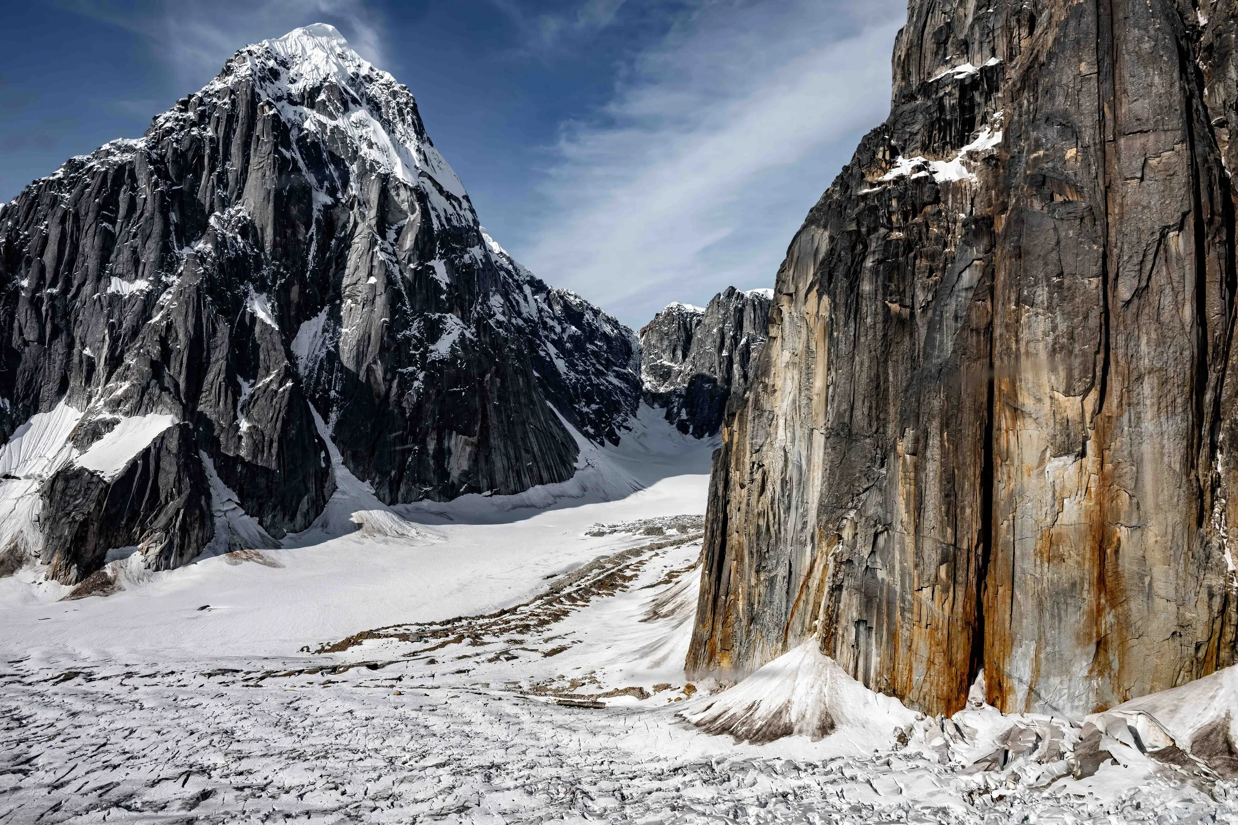
At one point we were flying very close to granite walls on the right while heading directly toward a mountain. It was obvious we weren't going over it. I glanced over at the pilot, and he was completely focused. Moments later, we banked gently away from the ridge, giving me an incredible view of the sheer rock wall beside the airplane. Looking down, I couldn't help but think that no one had ever walked in that part of the mountains.
Approaching the Glacier
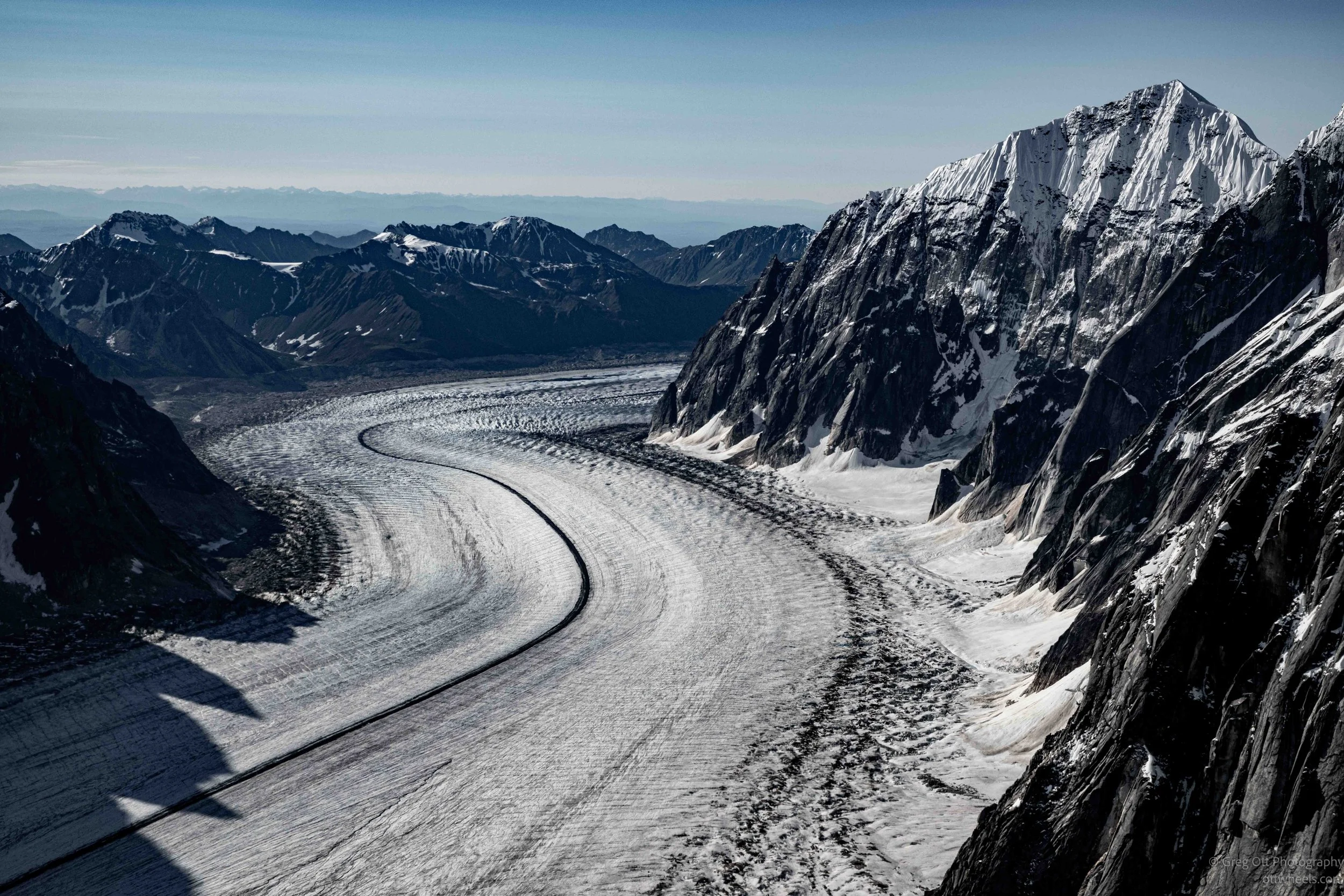
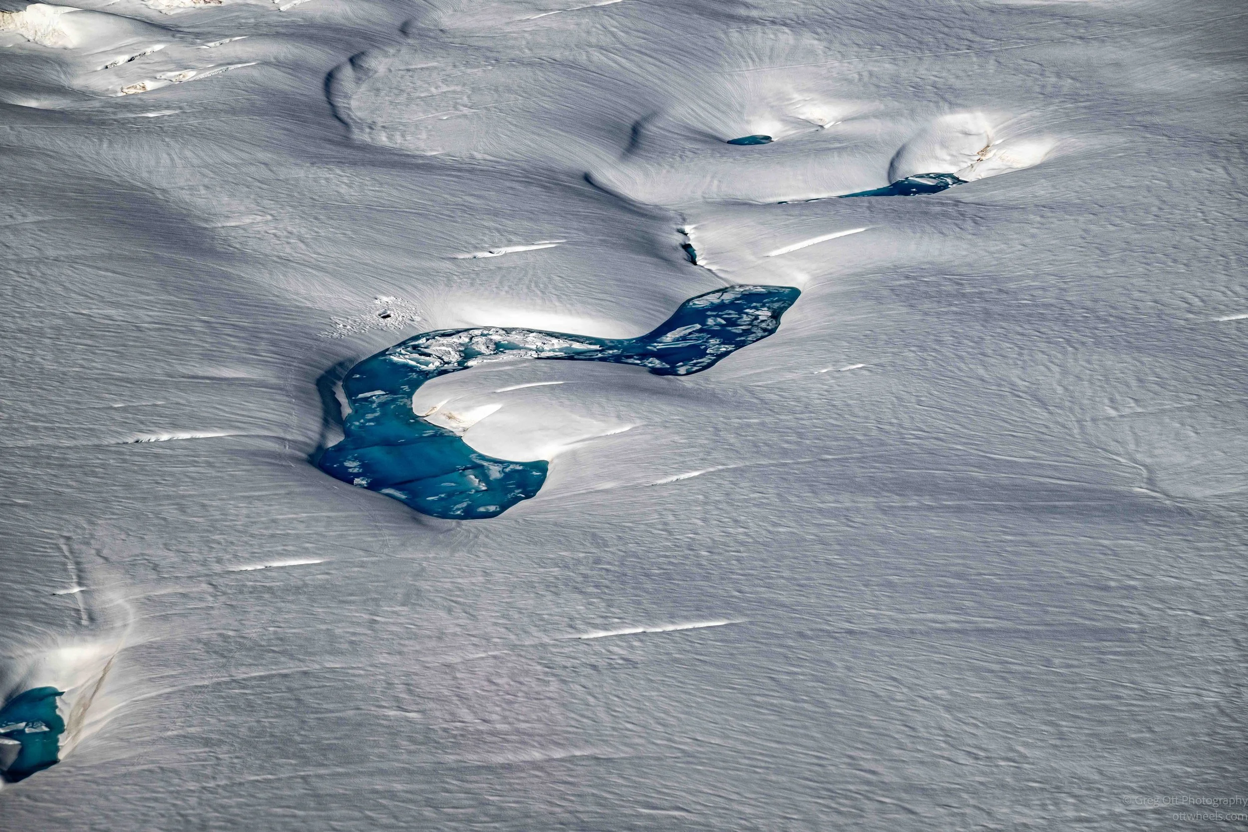
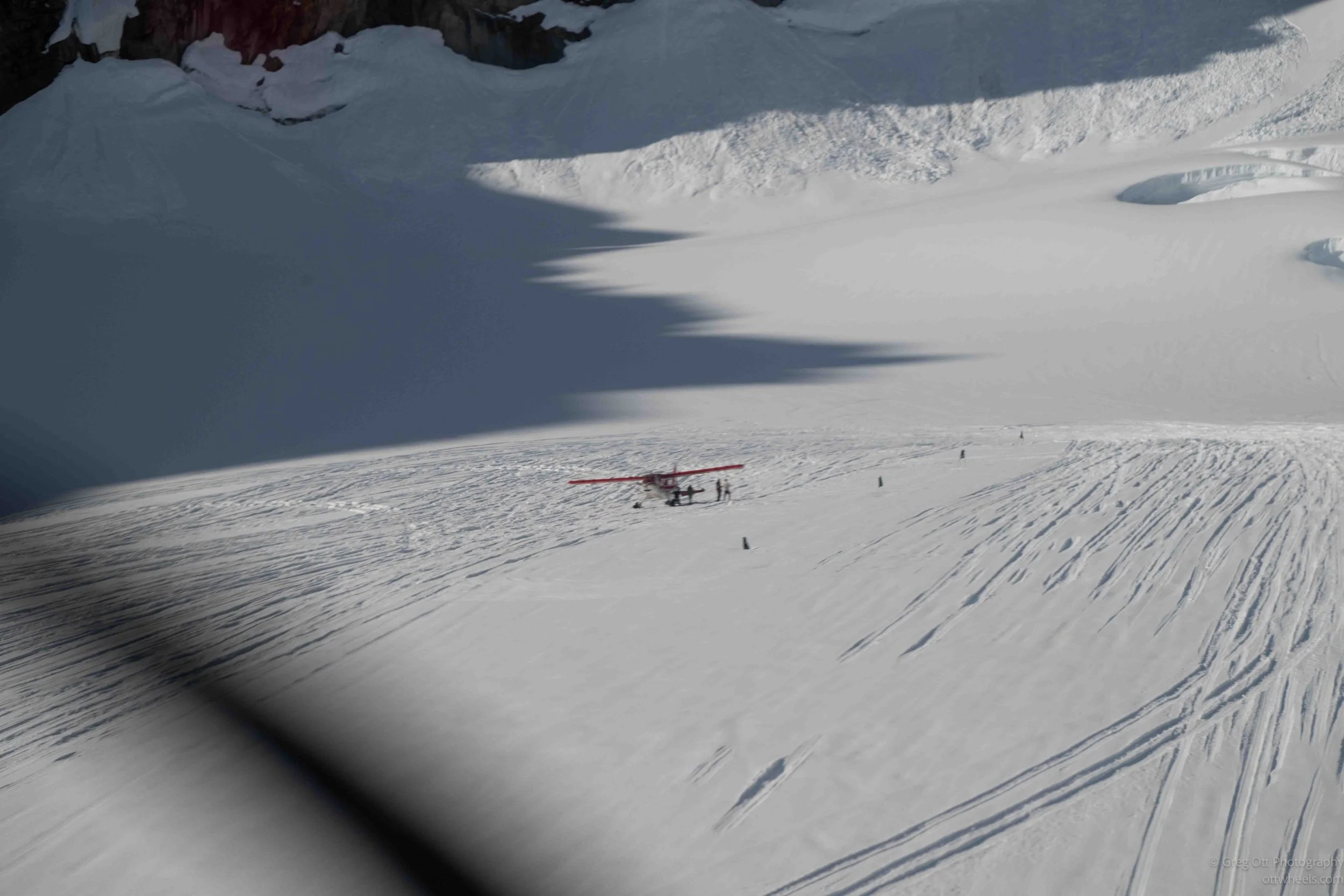
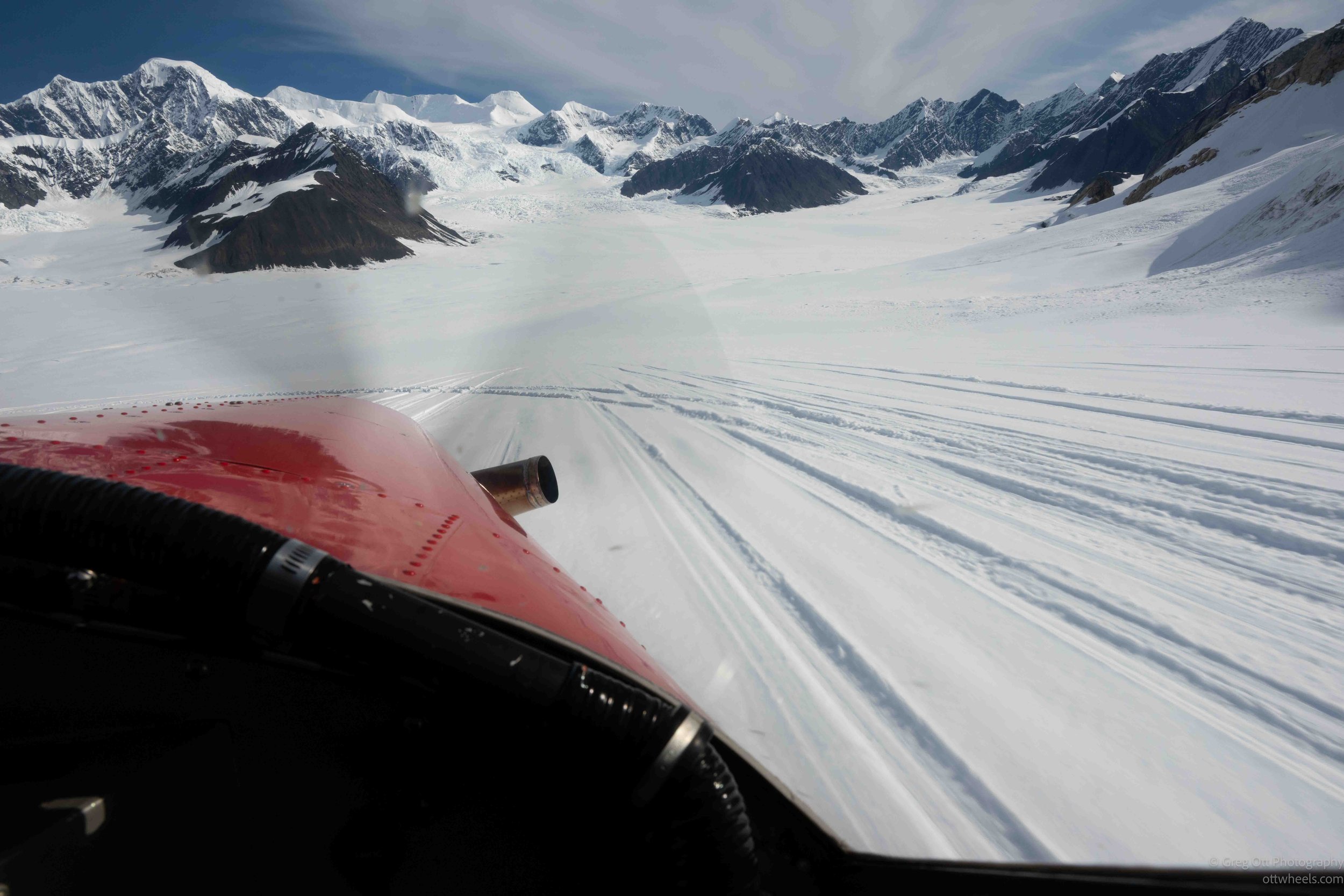
I could see several airplanes in the distance ahead of us. They looked like tiny ants sitting on the glacier. As we descended toward the Ruth Glacier, the mountains seemed to close in around us. A brilliant turquoise meltwater pool stood out against the white ice below, while shadows from the surrounding peaks added texture to the glacier's surface. The entrance to the Don Sheldon Amphitheater was every bit as impressive as I had hoped.
Landing on the Ruth Glacier
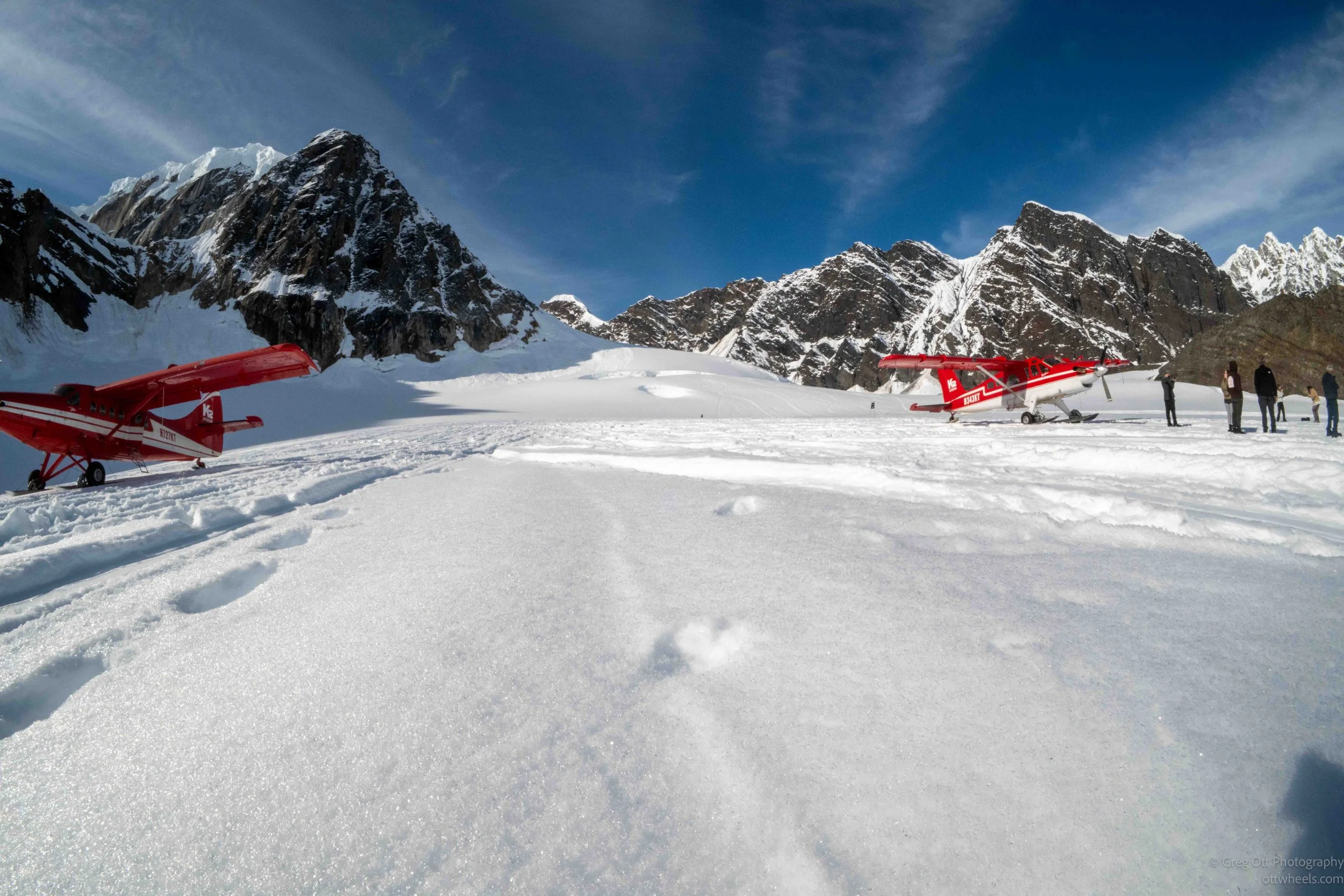
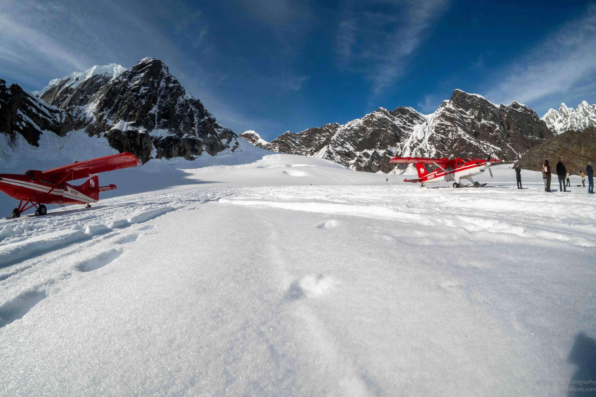
The landing was much smoother than I expected as the skis settled gently onto the Ruth Glacier. We taxied in a wide horseshoe before stopping parallel to another K2 airplane that had landed about 15 minutes ahead of us.
Exploring the Amphitheater
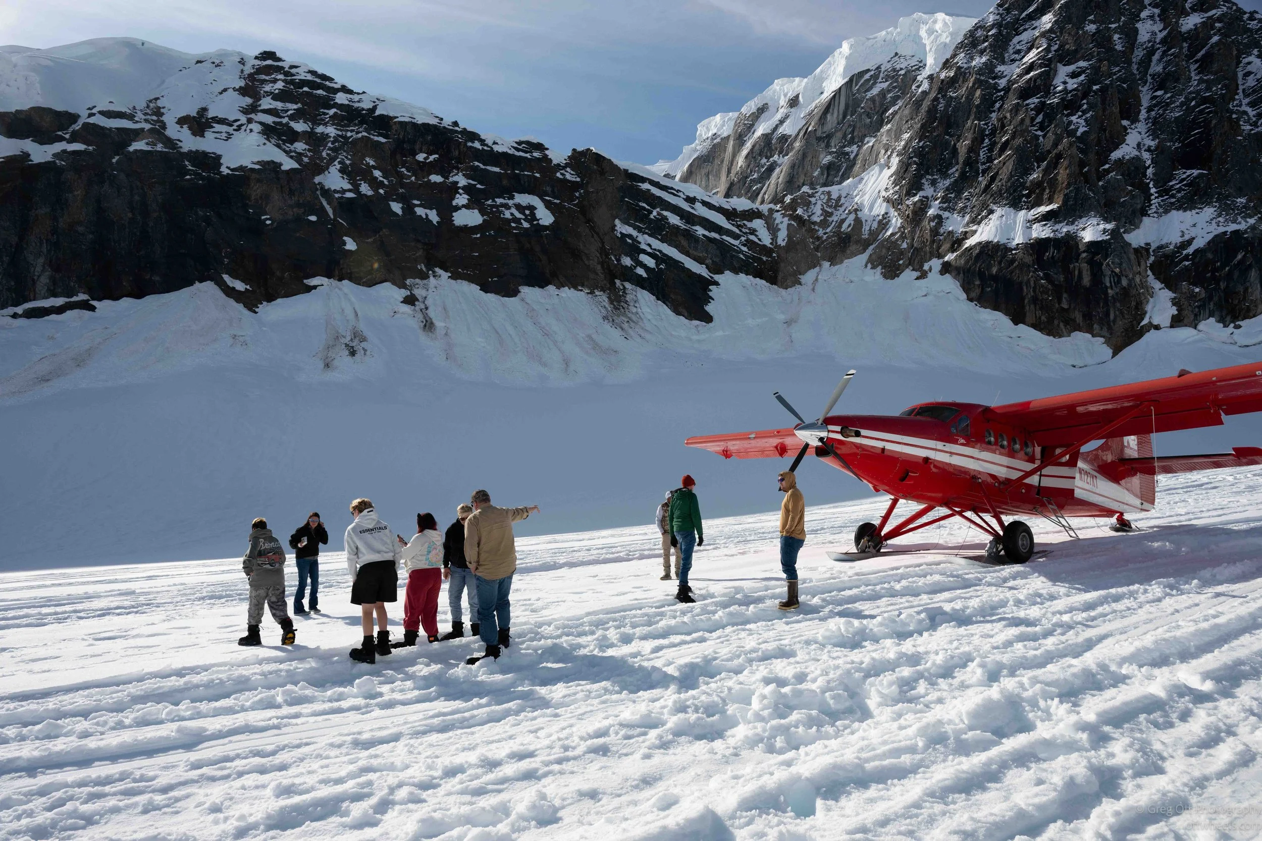
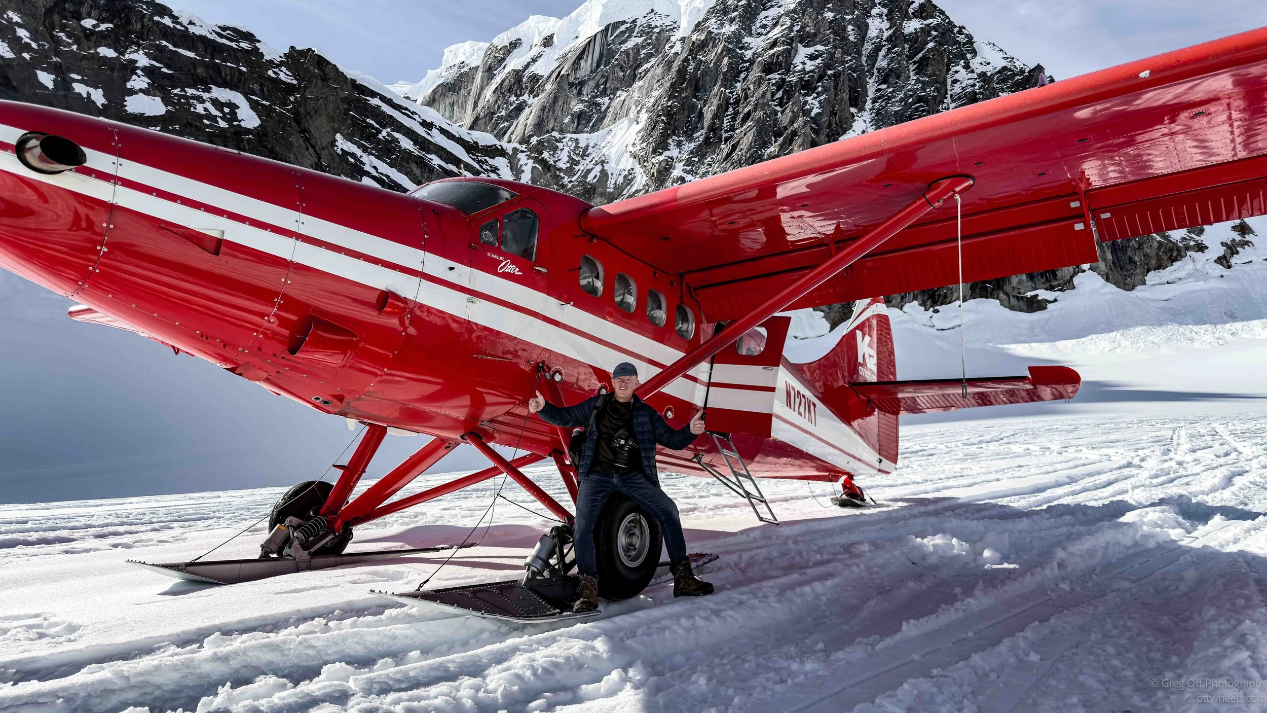
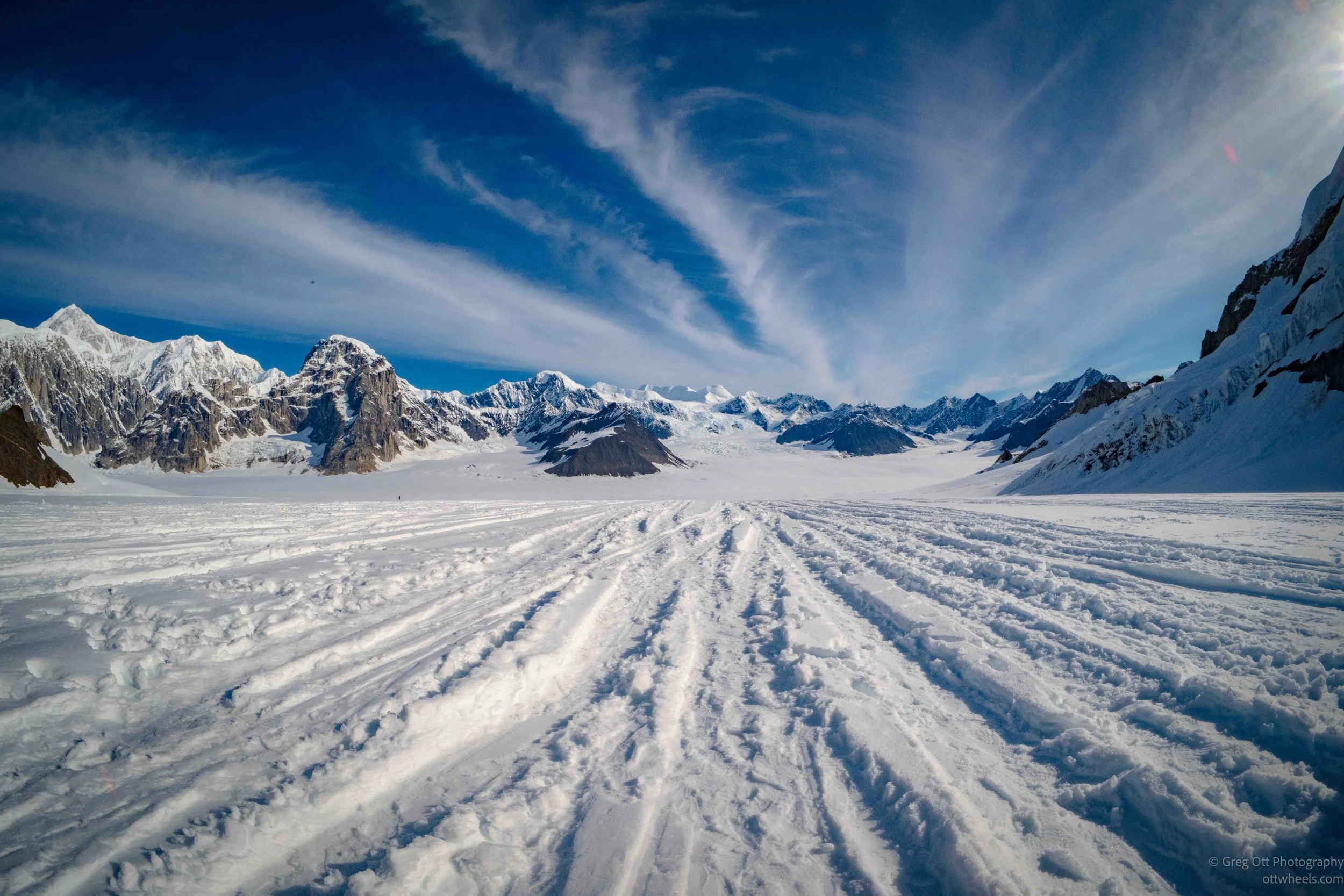
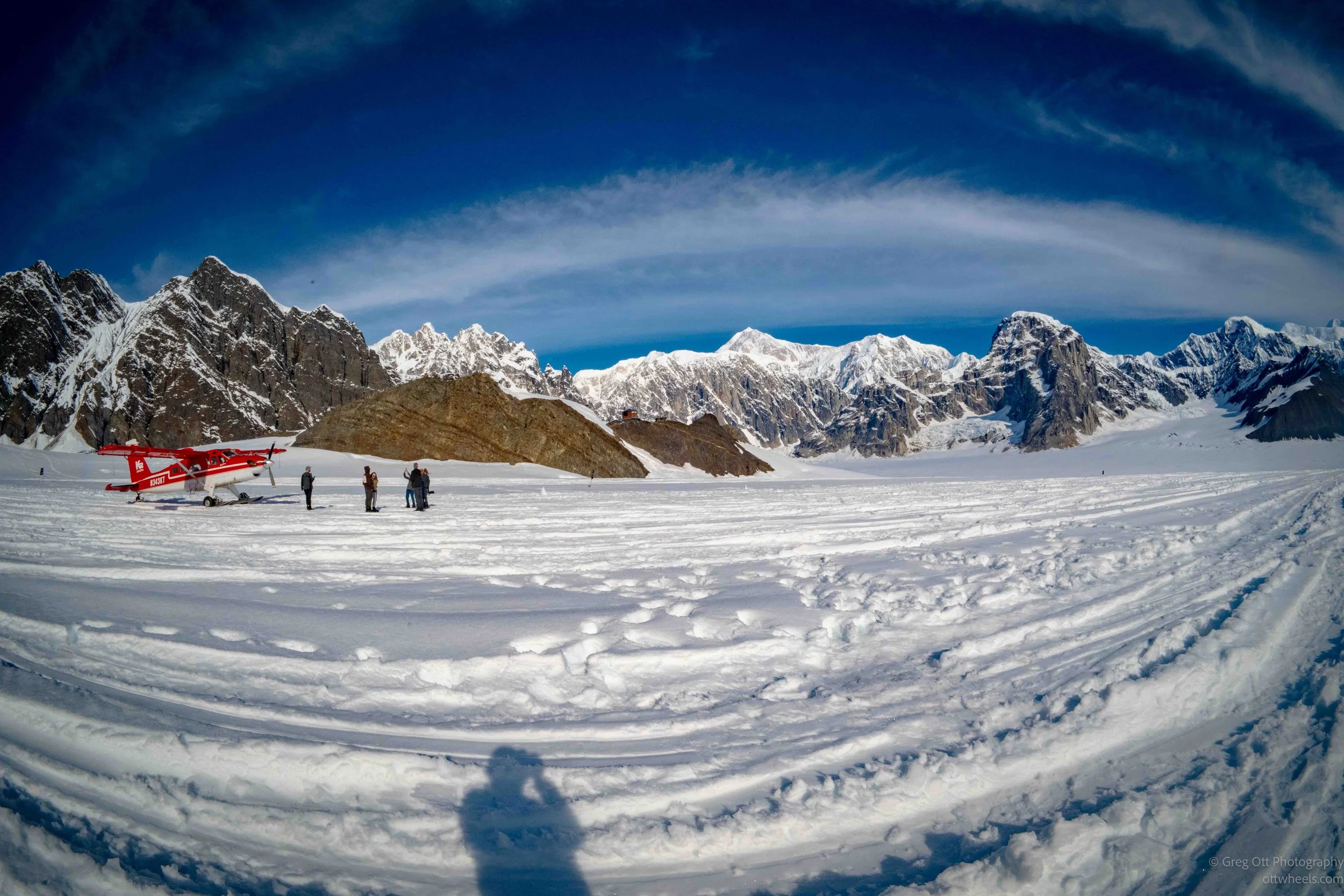
Standing in the Don Sheldon Amphitheater was surreal. Surrounded by towering granite walls and snow-covered peaks, I found myself constantly turning in circles, never quite knowing where to point the camera next. The little red airplane looked surprisingly small against the enormous landscape.
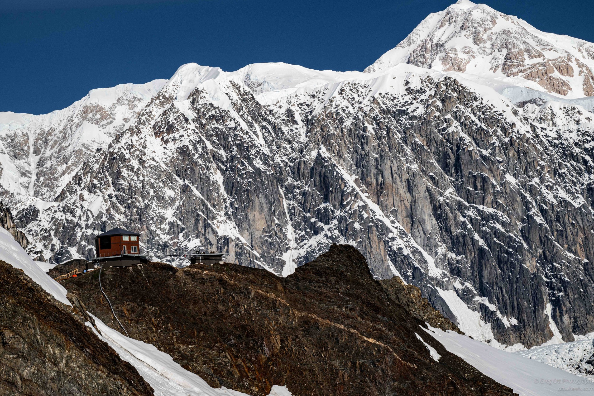
From the glacier, I could see the famous Don Sheldon Mountain House perched on a rocky outcrop high above the ice. After everyone had time to explore and take photographs, we climbed back aboard for the flight home. The takeoff was downhill, and it felt like we had traveled only about 100 feet before becoming airborne. For a few moments the airplane still seemed to be descending, but so was the glacier beneath us. As we picked up speed, we began weaving between the surrounding peaks while the glacier stretched away below.
A Closer Look at the Glacier
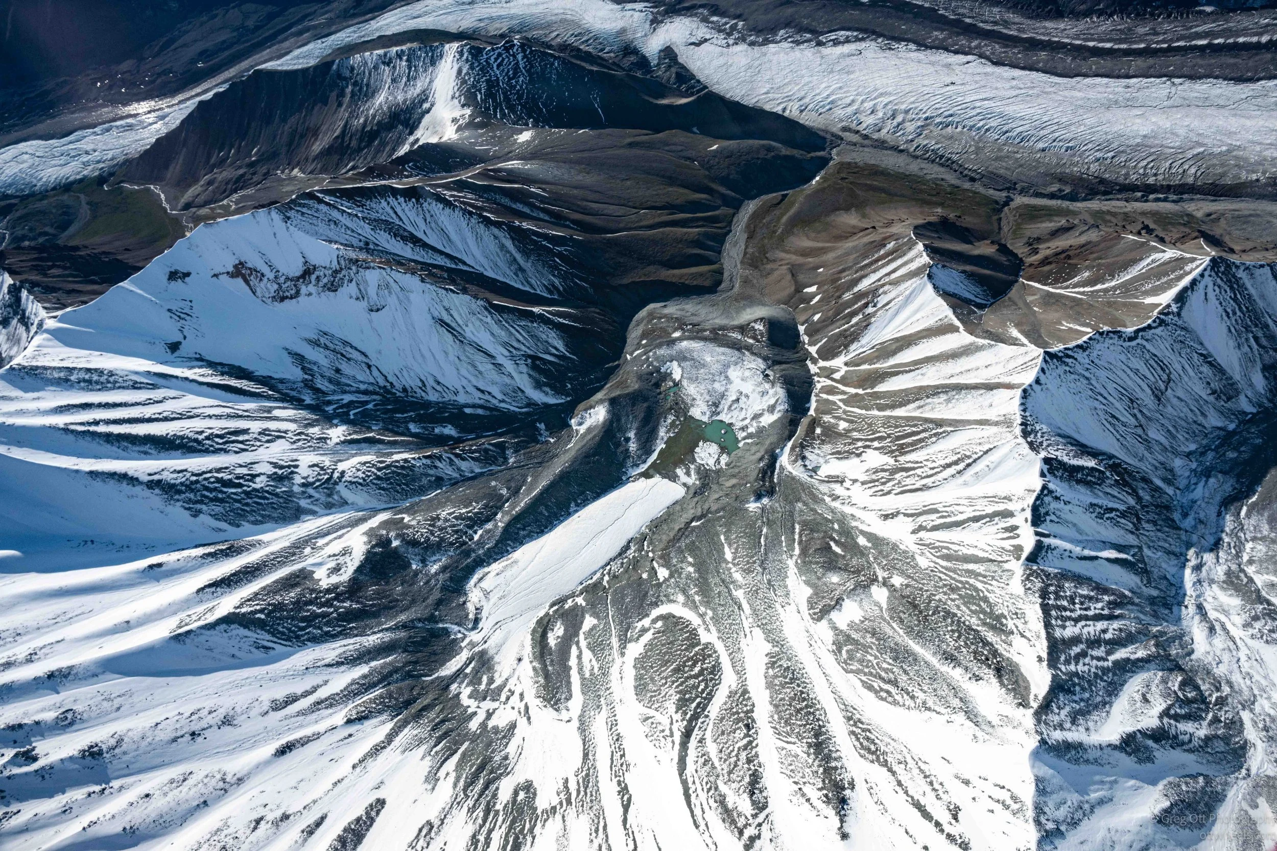
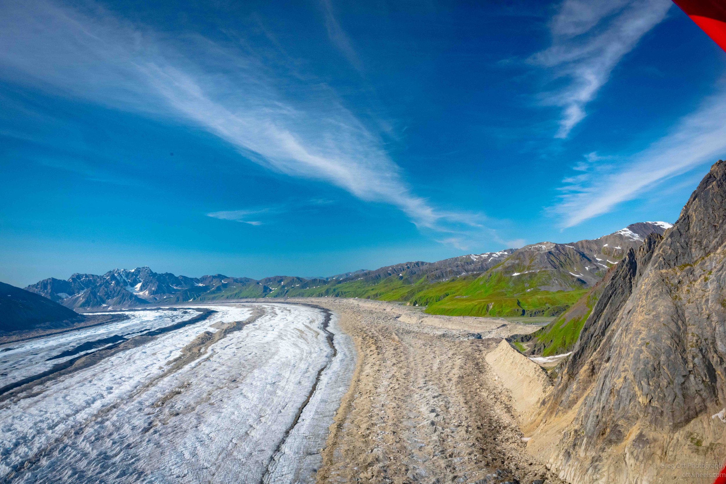
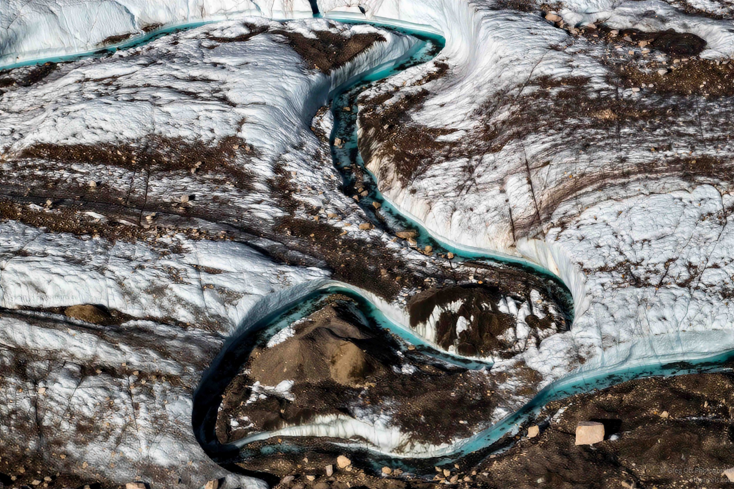
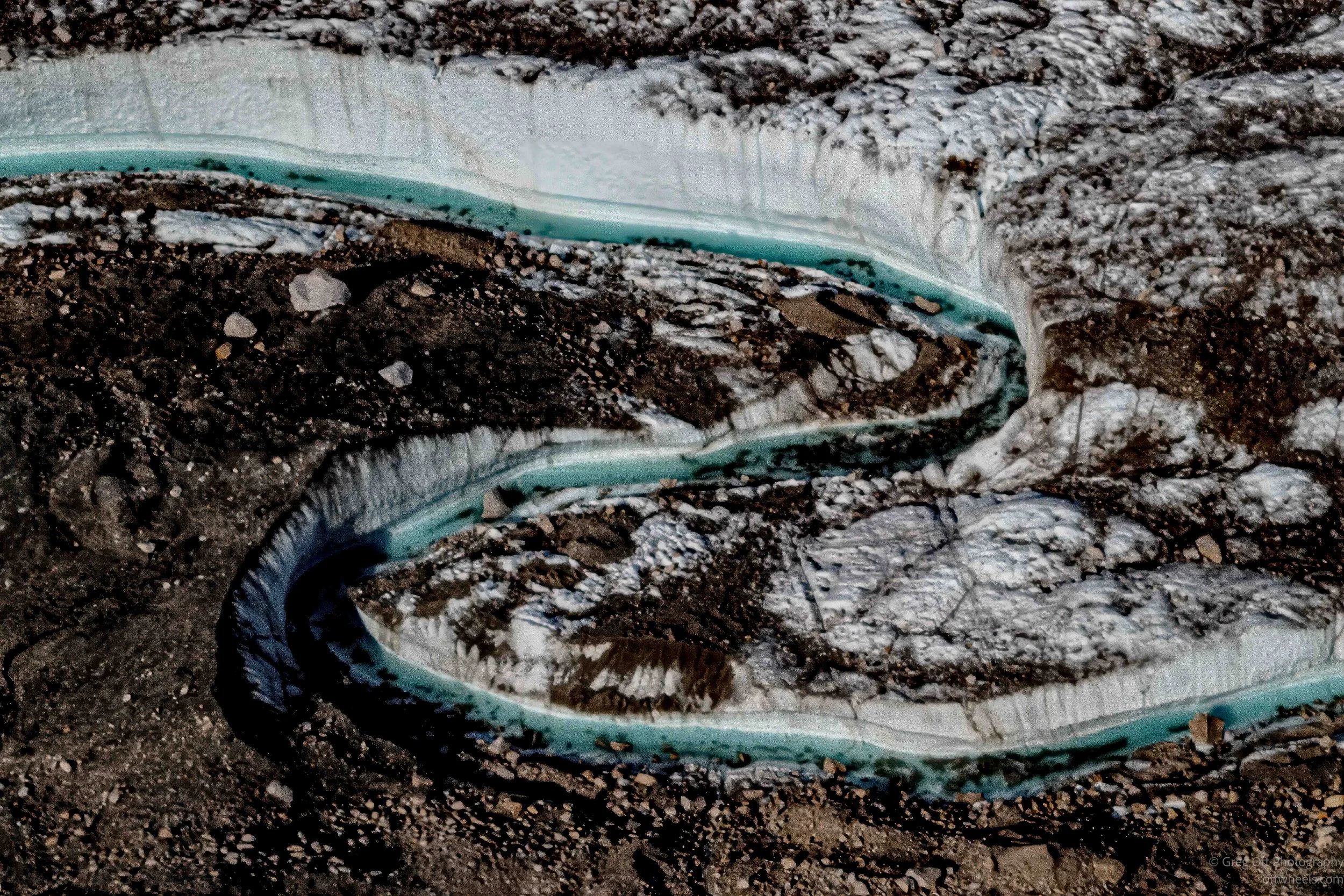
Back in the air, I started noticing details that weren't obvious while standing on the glacier. Deep crevasses fractured the ice into intricate patterns, dark moraine bands traced the glacier's slow movement, and ribbons of turquoise meltwater wound across the surface. The farther we flew, the more texture the glacier seemed to reveal.
Leaving the High Country
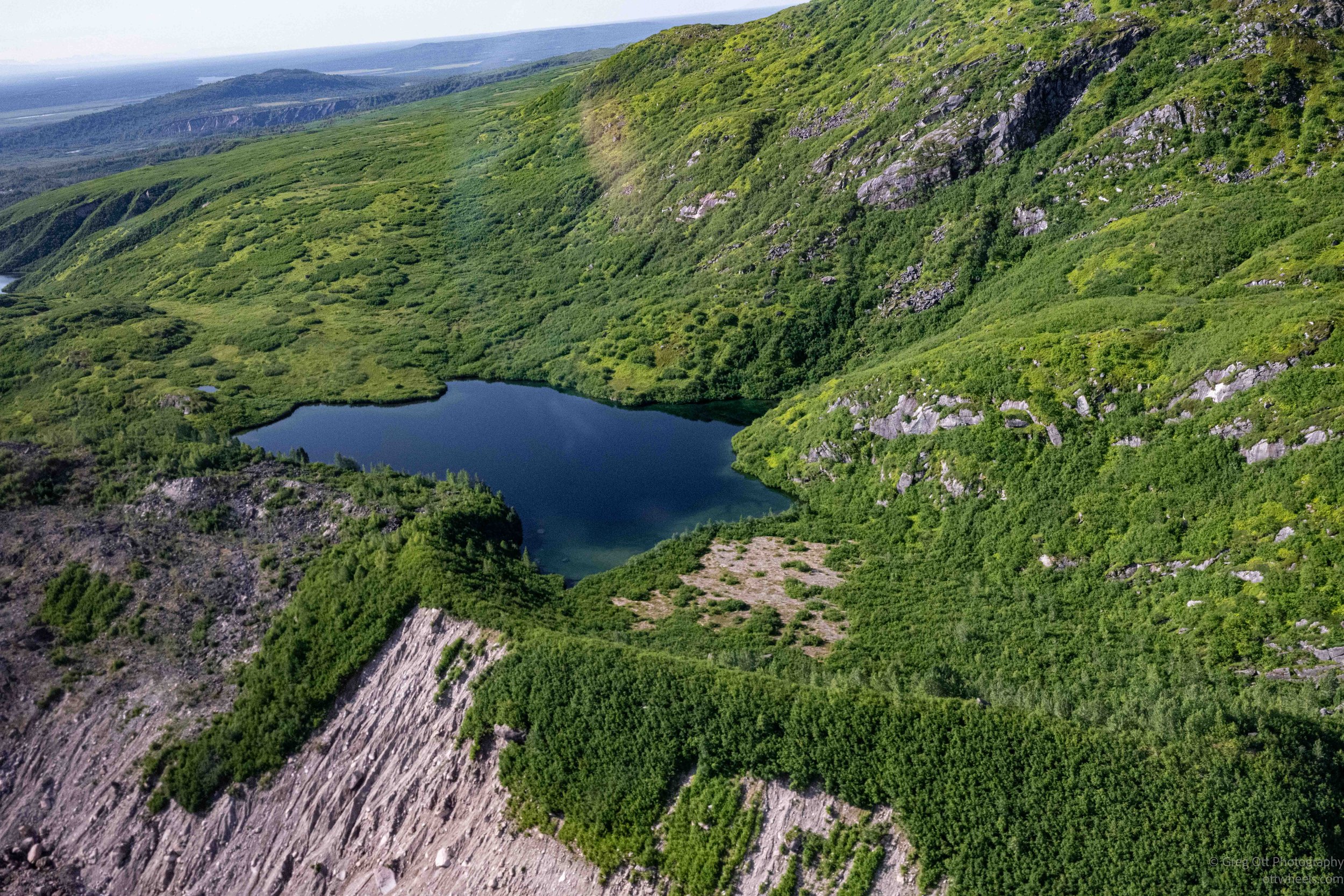
Eventually the glacier began to narrow, and patches of green appeared along its edges. Rocky moraines gave way to alpine vegetation, and small mountain lakes, known as tarns, dotted the landscape below. From the air, I could clearly see where the world of ice ended and the mountains slowly reclaimed the valley.
Tundra and Wetlands
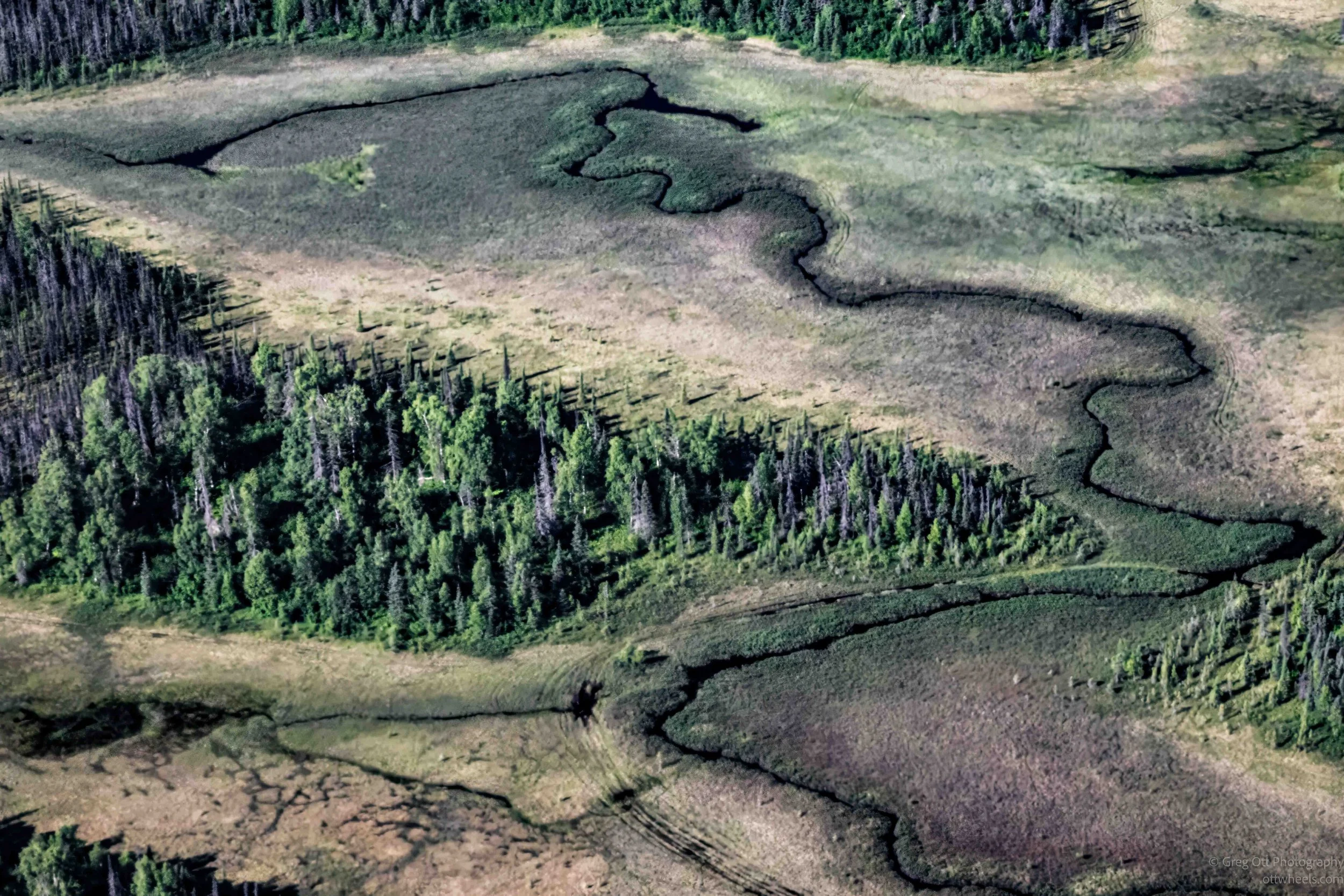
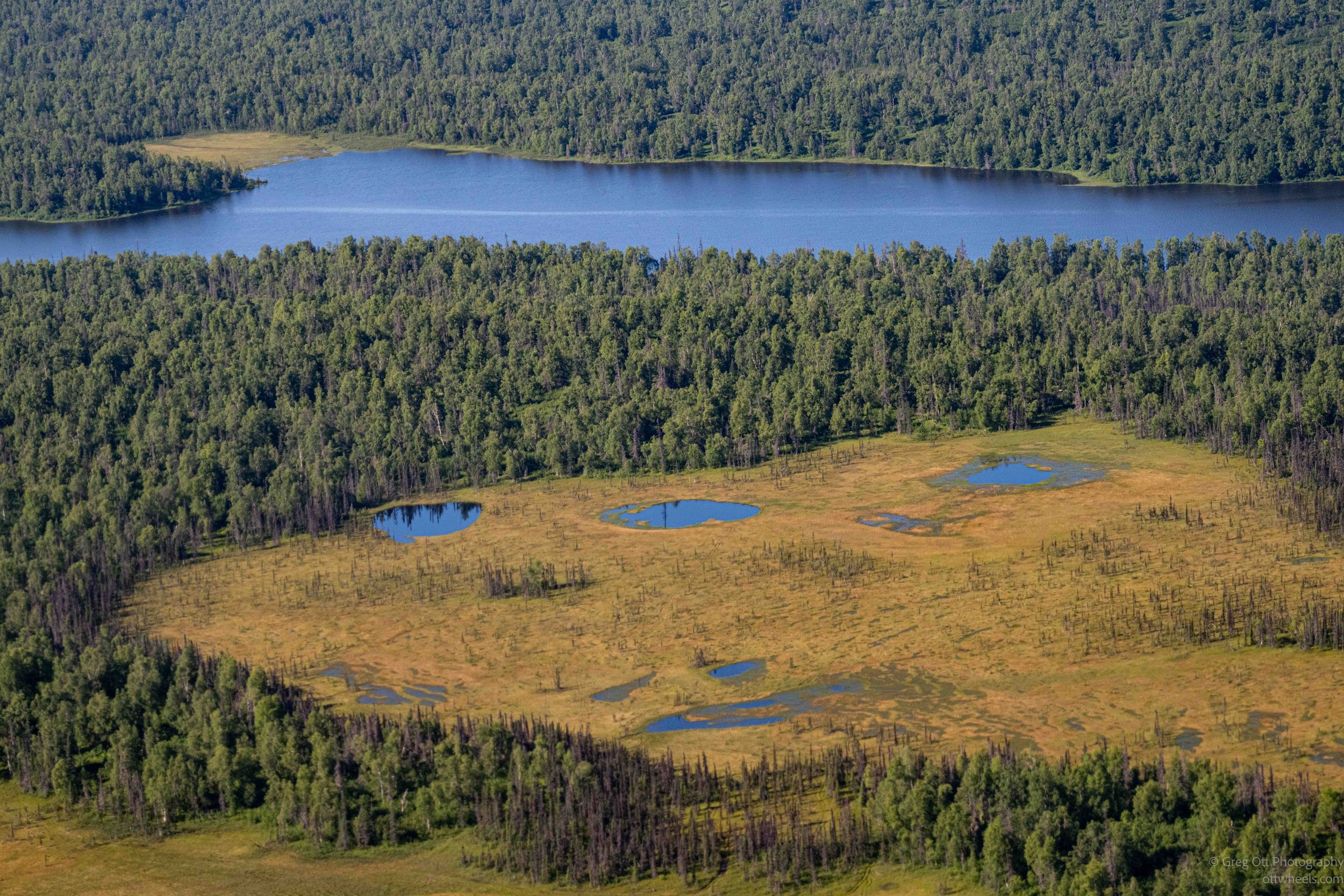
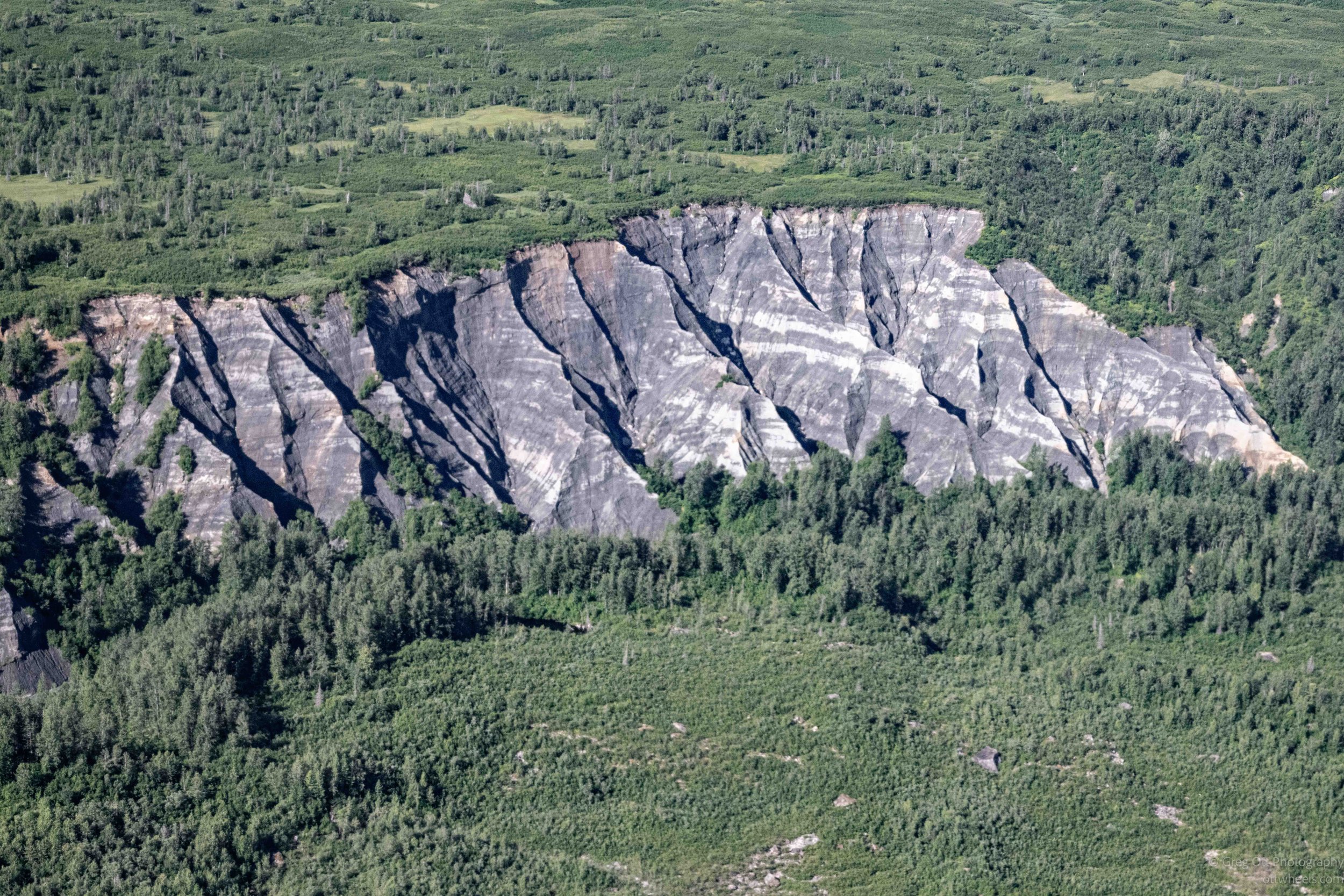
The rugged peaks gradually slipped behind us as the landscape opened into broad stretches of muskeg, ponds, and winding rivers. Forests filled the valleys once again, and it was hard to believe that only a short time earlier we had been standing on a glacier surrounded by towering walls of rock and ice.
Returning to Talkeetna
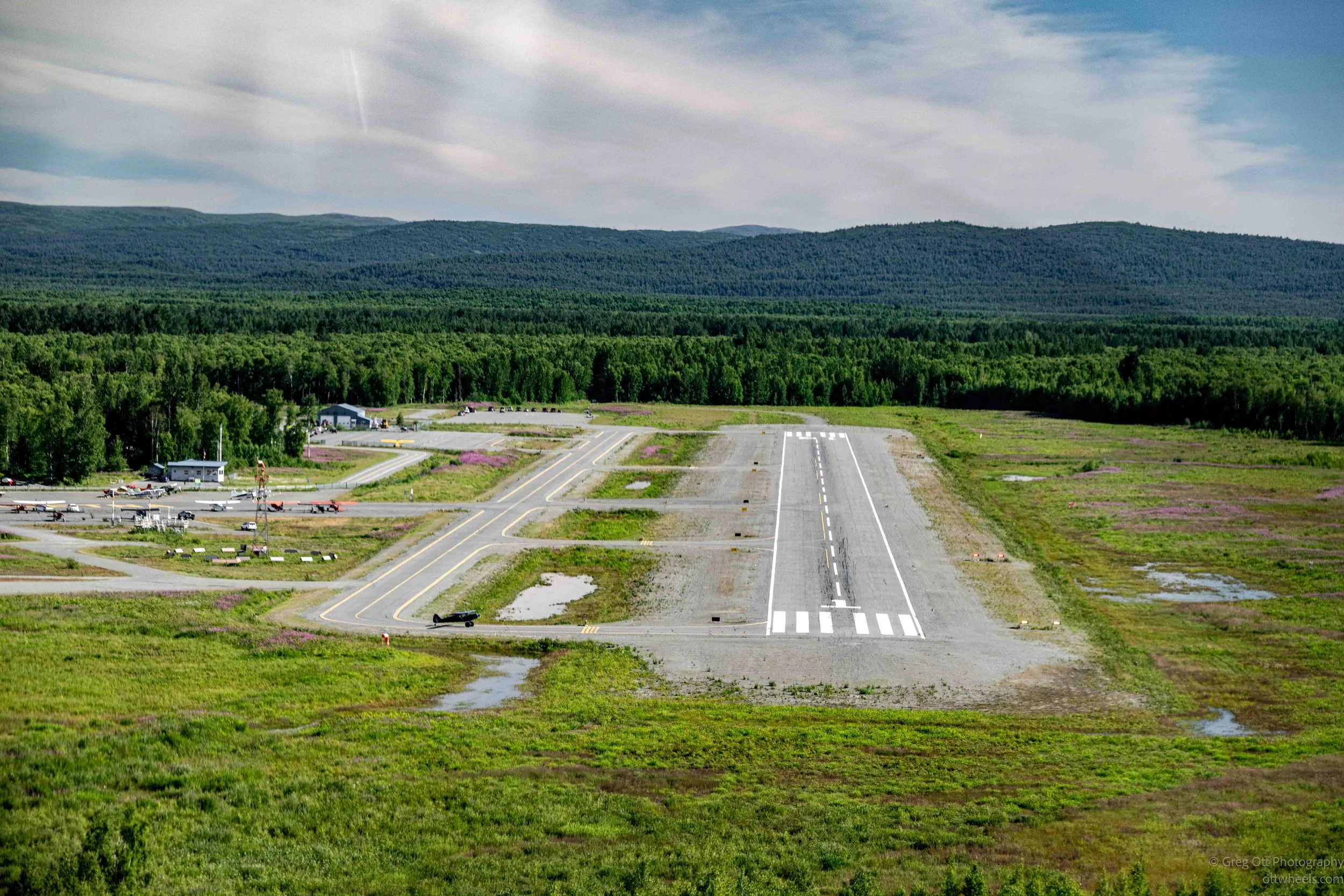
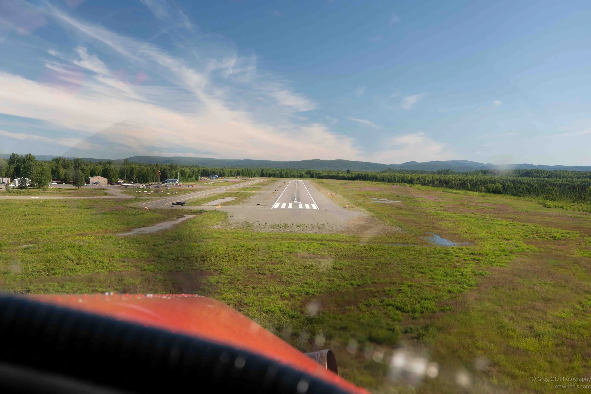
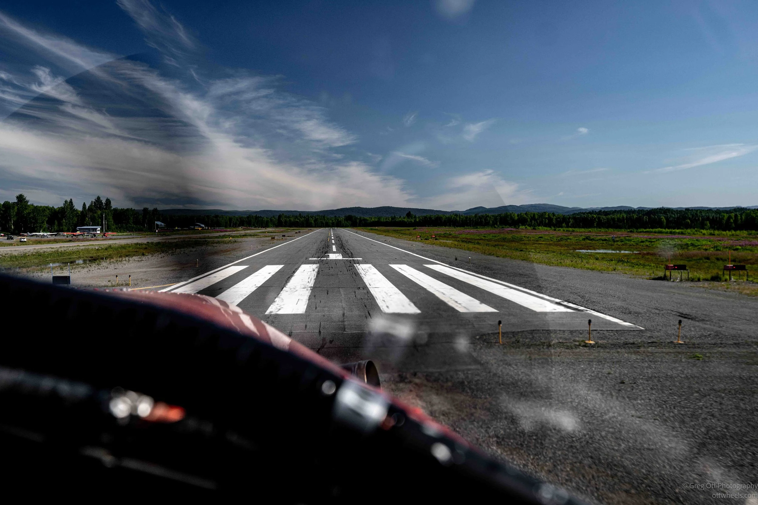
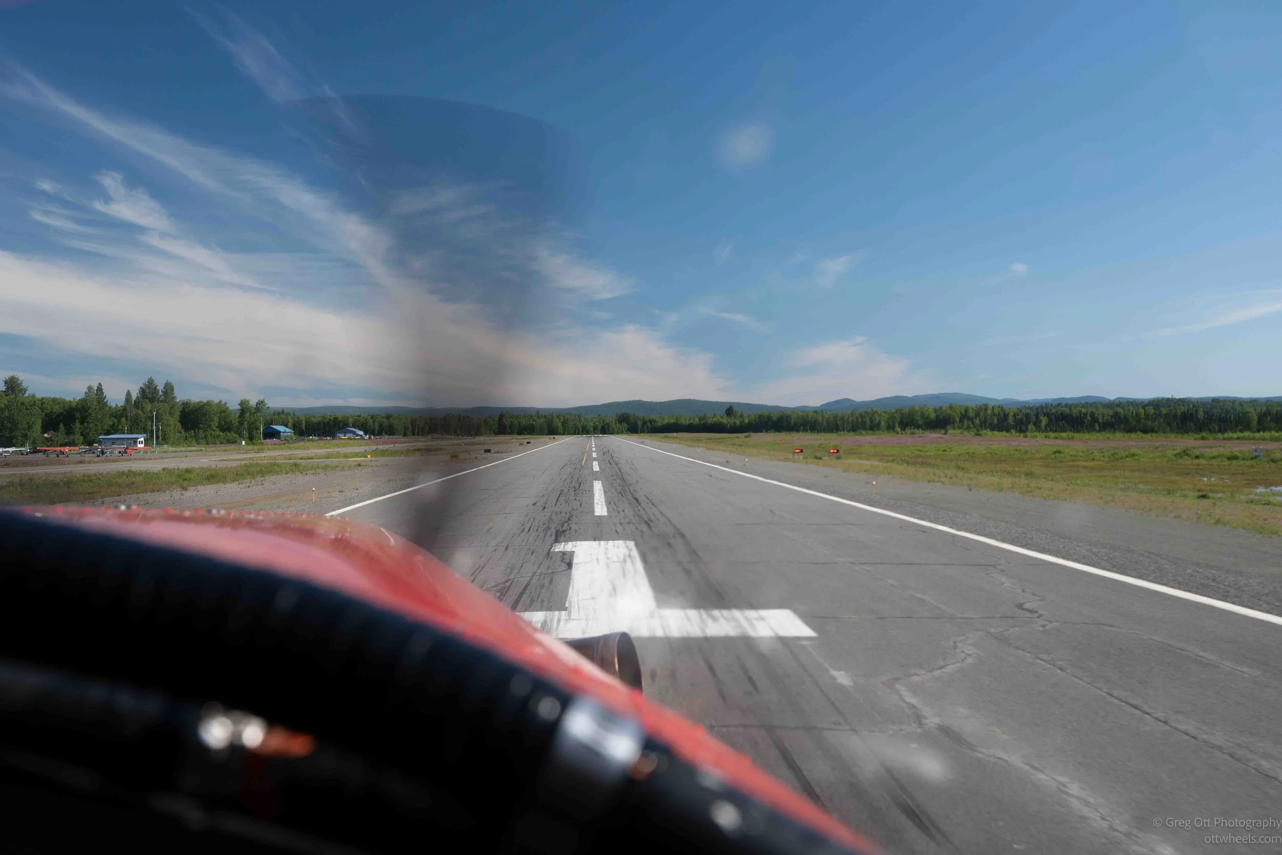
Soon Talkeetna came back into view, and we lined up for our approach to the airstrip. The runway steadily filled the windshield before the wheels touched down and carried us back to where the journey had begun. Looking back toward the mountains, it was amazing how quickly they had gone from filling every window to becoming a distant line on the horizon.
Like many experiences in Alaska, the flight made me realize just how small we really are. Standing on the Ruth Glacier lasted only a few minutes, but seeing that immense landscape from the air is something photographs can only hint at. It was one of those rare experiences that stayed with me long after the engine had shut down.
Back at the van, the day felt completely different. The sun had warmed things up enough that I changed into shorts, repacked my camera gear, and made the quarter-mile walk into Talkeetna to spend the rest of the afternoon exploring the town. That turned into an adventure of its own, which I'll pick up in the next blog post.