Bruneau Canyon & Twin Falls
I woke at Bruneau Dunes State Park rather late, around 9:30. I could have easily slept another couple of hours, but I needed to get the day started. It had been a late night photographing the stars, and I realized I still had a lot to learn about astrophotography.
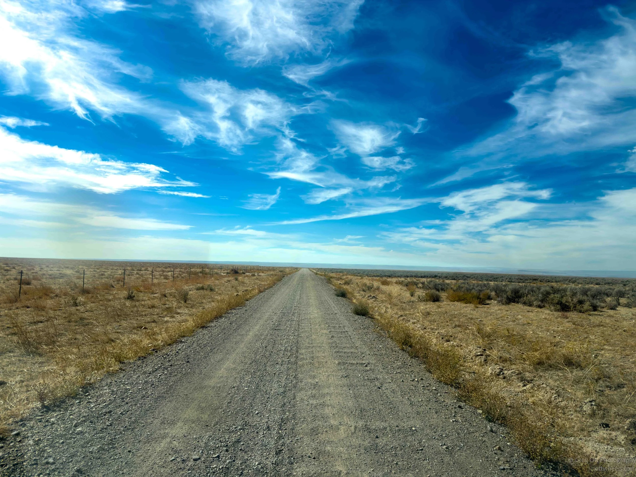
I left the campground and drove toward Bruneau Canyon Overlook. The road to the canyon was dirt and washboard most of the way. It was about 12 miles, and for much of it I couldn’t drive more than 10 mph. I didn’t see another vehicle the entire way. There’s something about driving roads like that that just gets on your nerves. The reward, however, was the view.
Bruneau Canyon
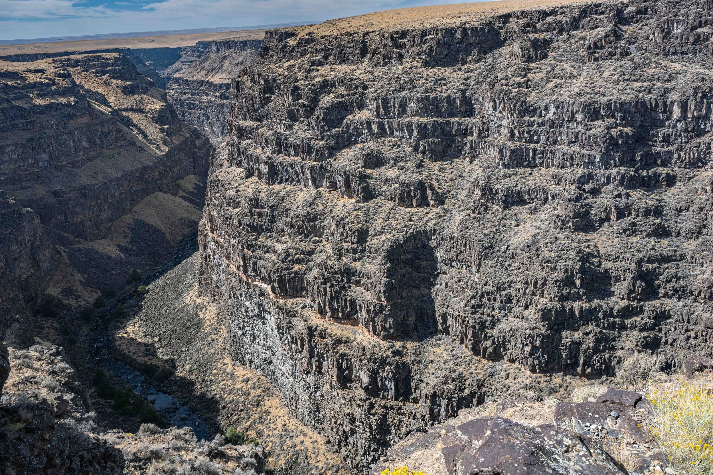
Bruneau Canyon isn’t long on a Grand Canyon scale, but standing at the edge, it is still impressive. The canyon cuts sharply through the otherwise open high-desert landscape, with dark layers of basalt and rhyolite dropping about 800 feet to the river below. From the overlook, the opposite rim is roughly 1,300 feet away.
As usual, I spent some time reading the interpretive signs along the walkway. They described the history of the Shoshone, Paiute and Bannock people, the fur trappers who explored the region in the early 1800s, and the ranchers who began settling the Bruneau Valley in the 1860s. One of the signs explained the Owyhee Initiative, an effort that began in 2001 to bring ranchers, Native American tribes, conservationists and recreation groups together to protect the canyonlands while preserving the ranching economy. After six years of negotiations, the agreement eventually became part of federal legislation signed into law in 2009. I thought it was an interesting example of people with very different interests finding a way to work together. Another sign described the landscape particularly well: "isolated, starkly scenic, extreme and often unforgiving."
The canyon was formed over millions of years as the Bruneau River cut its way through layers of volcanic rock. Ancient eruptions covered much of the surrounding landscape with basalt and rhyolite, and the river gradually carved a deep, narrow gorge through these deposits. Periods of greater water flow helped accelerate the erosion. Looking across the canyon, you can clearly see the different layers of rock exposed in the steep cliffs. The contrast between the relatively flat desert plateau and the canyon dropping hundreds of feet below is remarkable.
I initially thought I was looking down at the Snake River, but this is actually the Bruneau River, which carved the canyon below the overlook. Much of the river is protected as a Wild and Scenic River, and farther upstream it runs through some extremely remote country. From 800 feet above, the water looked almost peaceful, although sections of the Bruneau are serious whitewater, with Class II–IV rapids.
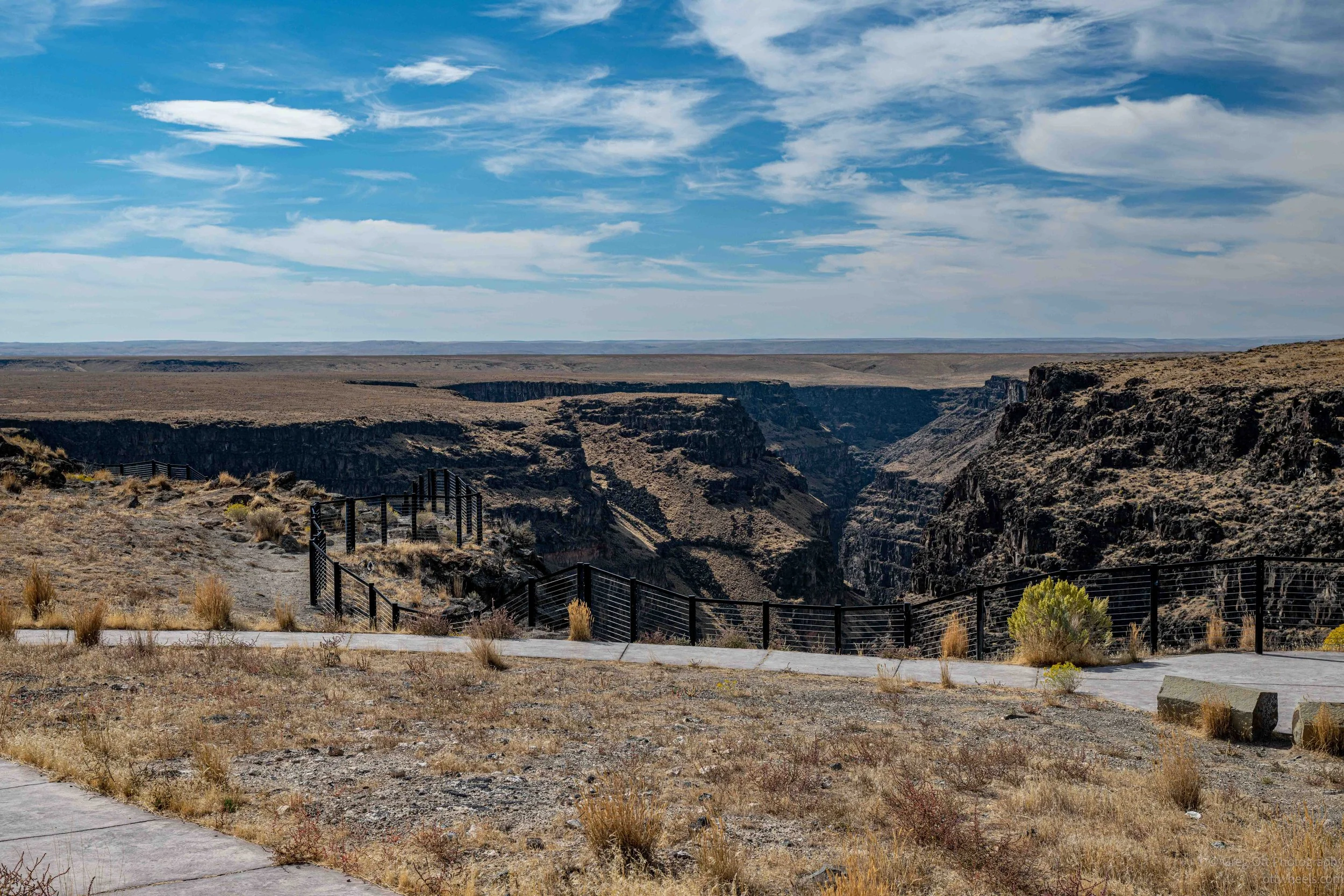
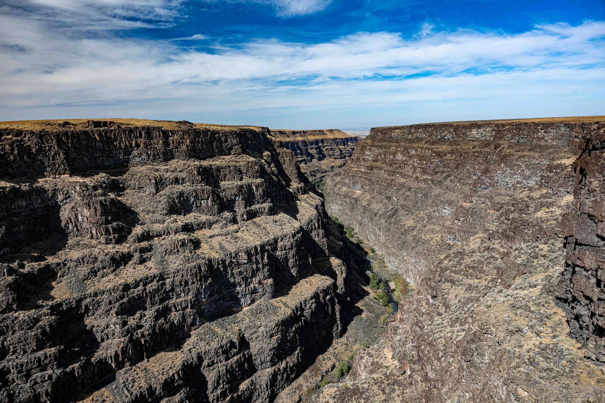
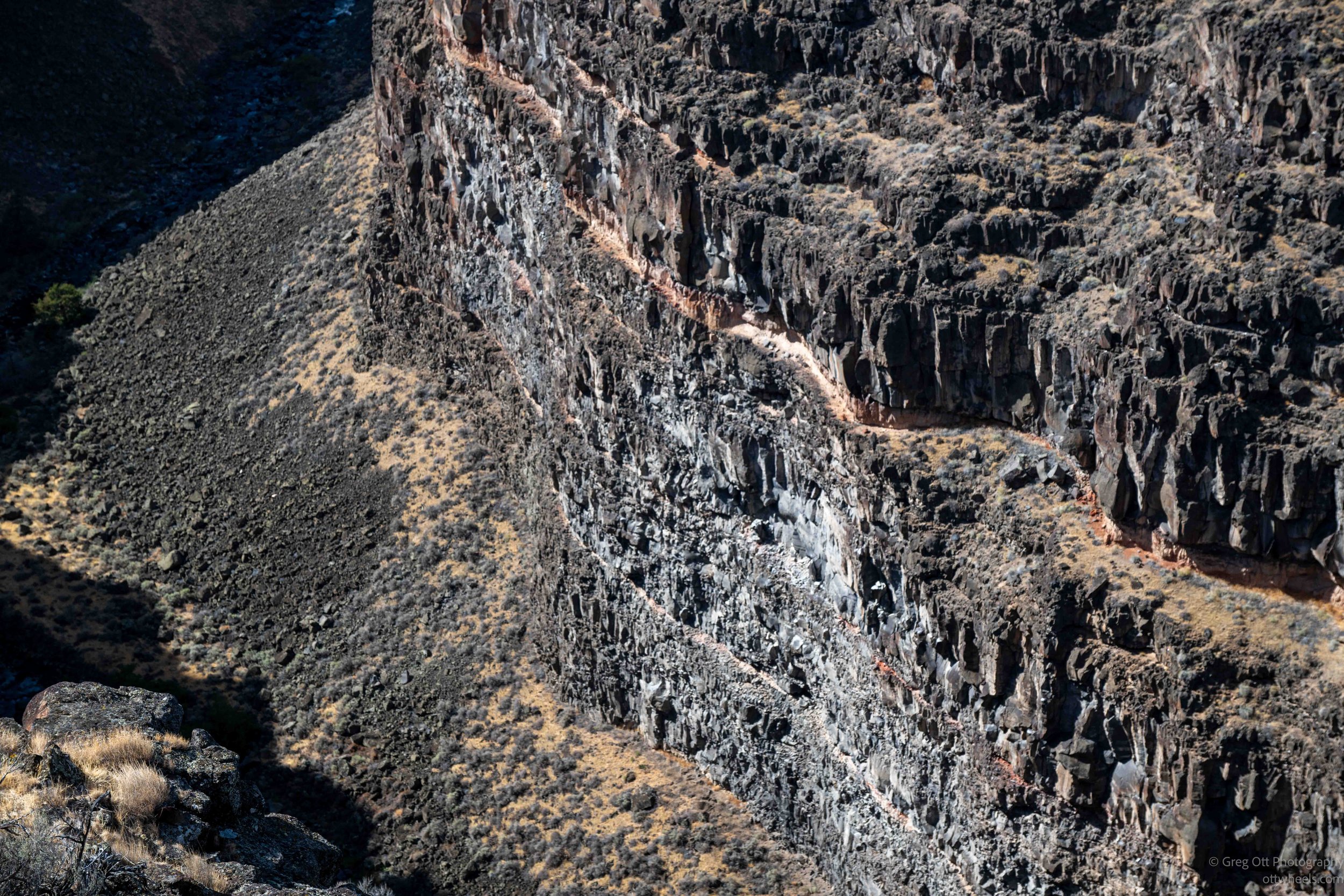
Standing there, I thought how much fun it would be to take a raft trip through the canyon and maybe camp along the way. At that moment, I didn’t realize how difficult this river can be to kayak or raft. From the rim, you only get brief glimpses of the river between the cliffs. Down there, the perspective would be completely different, surrounded by those enormous canyon walls instead of looking down into them.
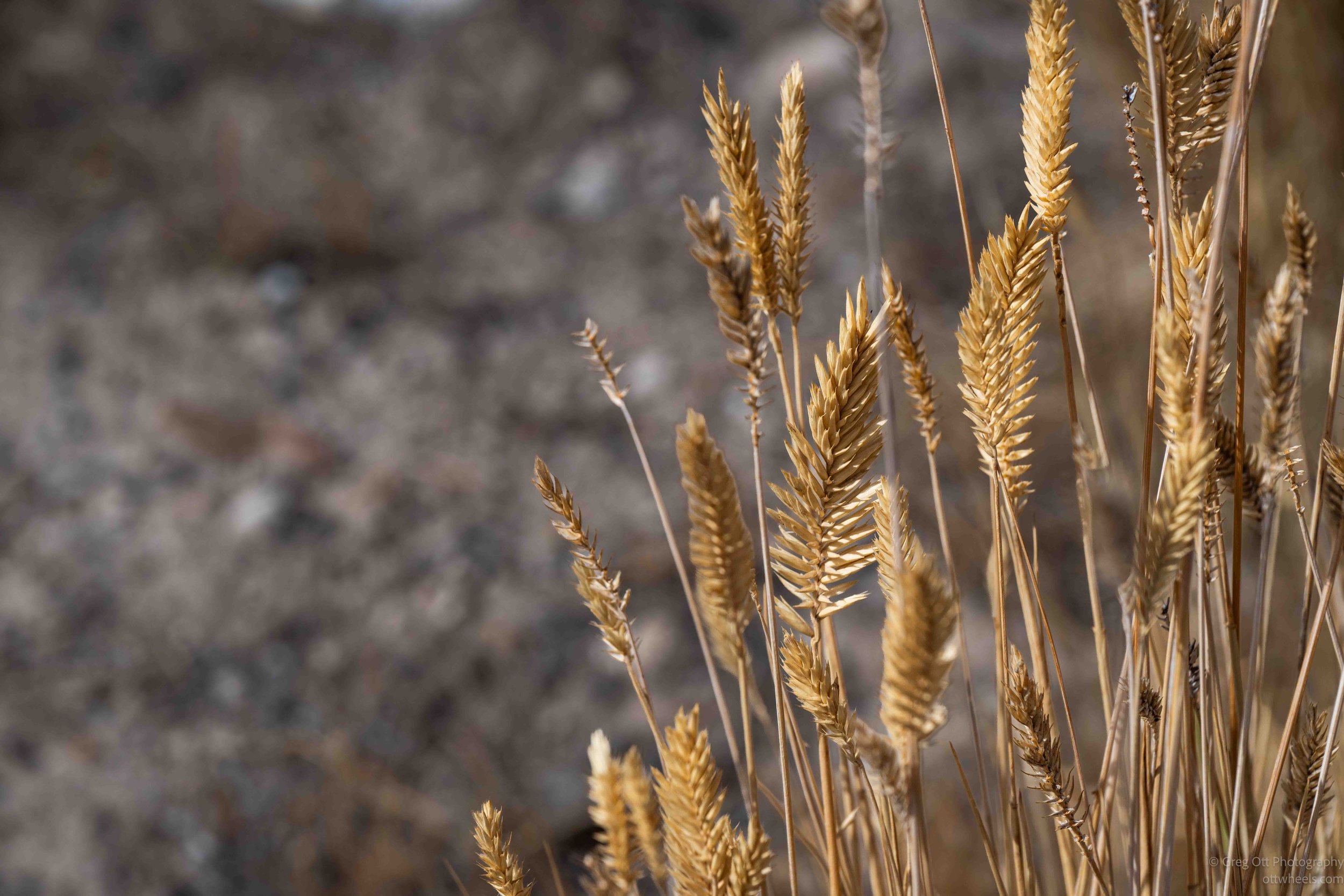
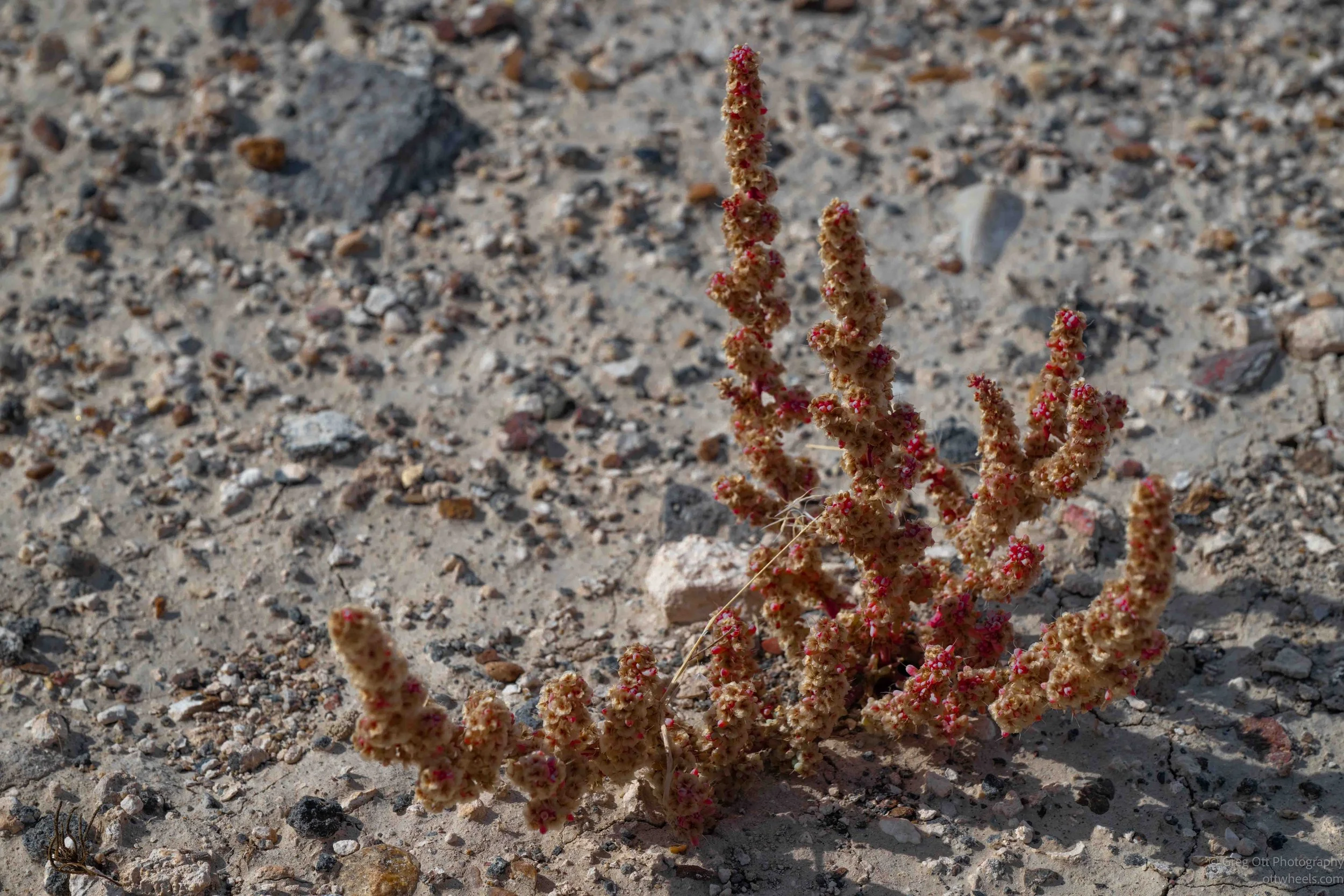
It was nice just standing there enjoying the spectacular view. There was almost no sound except a light wind moving across the plateau and the occasional raven calling somewhere over the canyon. I spent about an hour wandering along the overlook, taking photographs and looking into the different branches of the canyon. I wasn’t in any hurry to leave — partly because it was so peaceful, and partly because I knew that twelve-mile washboard road was waiting for me on the way back.
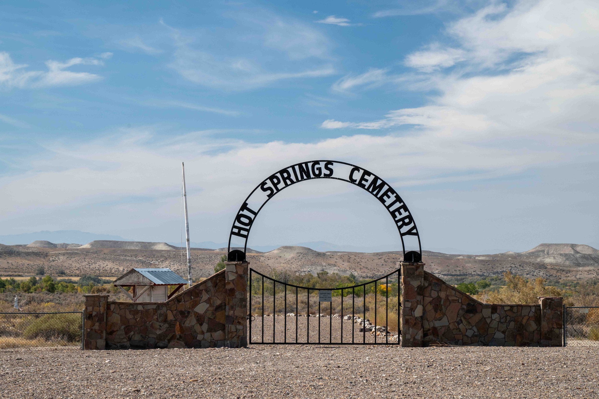
Once I was back on paved roads, I slowed down and took my time exploring the backroads on my way toward Box Canyon. I stopped at Hot Springs Cemetery because it looked so different from the cemeteries I was used to seeing in the East. There was no grass, just bare earth and gravel surrounding the graves. It reminded me of some of the cemeteries I had seen in western Texas and southern Arizona, where the dry climate creates a completely different landscape.
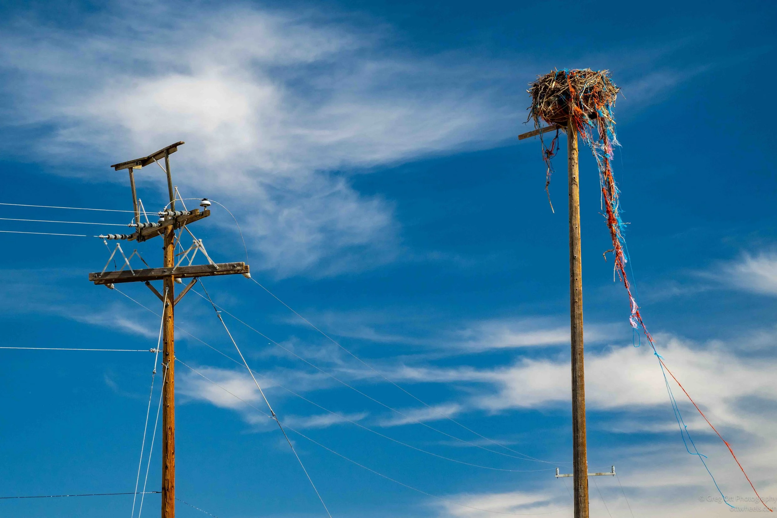
A little farther down the road, I noticed an osprey nest perched high on an isolated pole. The nearby power lines ended at the last utility pole before going underground, so it looked as though this pole had been installed specifically for the ospreys. What caught my attention was the collection of colorful threads and strips of material hanging from the nest and blowing in the wind. I later learned that ospreys sometimes collect baling twine and other synthetic materials from nearby agricultural fields to build their nests. Unfortunately, these materials can be dangerous if the birds become entangled in them. I pulled over and watched for about ten minutes, hoping one of the birds would return, but there was no activity around the nest. Only one truck passed me the entire time. It was another reminder of how quiet and isolated some of these backroads can be.
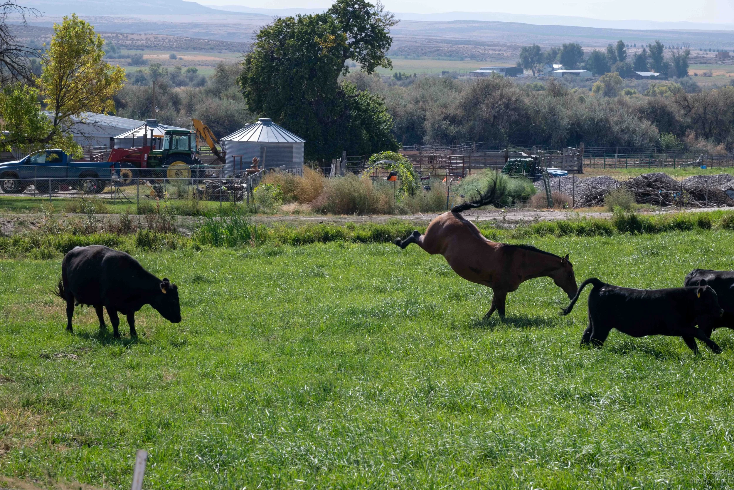
A few miles later, I came across a farmer letting his cattle and a horse out into a pasture. You would have thought they had been locked in a barn all winter and hadn’t been outside for months. Some of the calves immediately took off running, and the horse joined in, bucking and kicking its hind legs into the air. They chased one another around the pasture as if they were having the time of their lives. It was hilarious to watch. The horse and one of the calves seemed to be particularly good friends, running together and staying close even after the excitement settled down. I spent quite a while watching and photographing them.
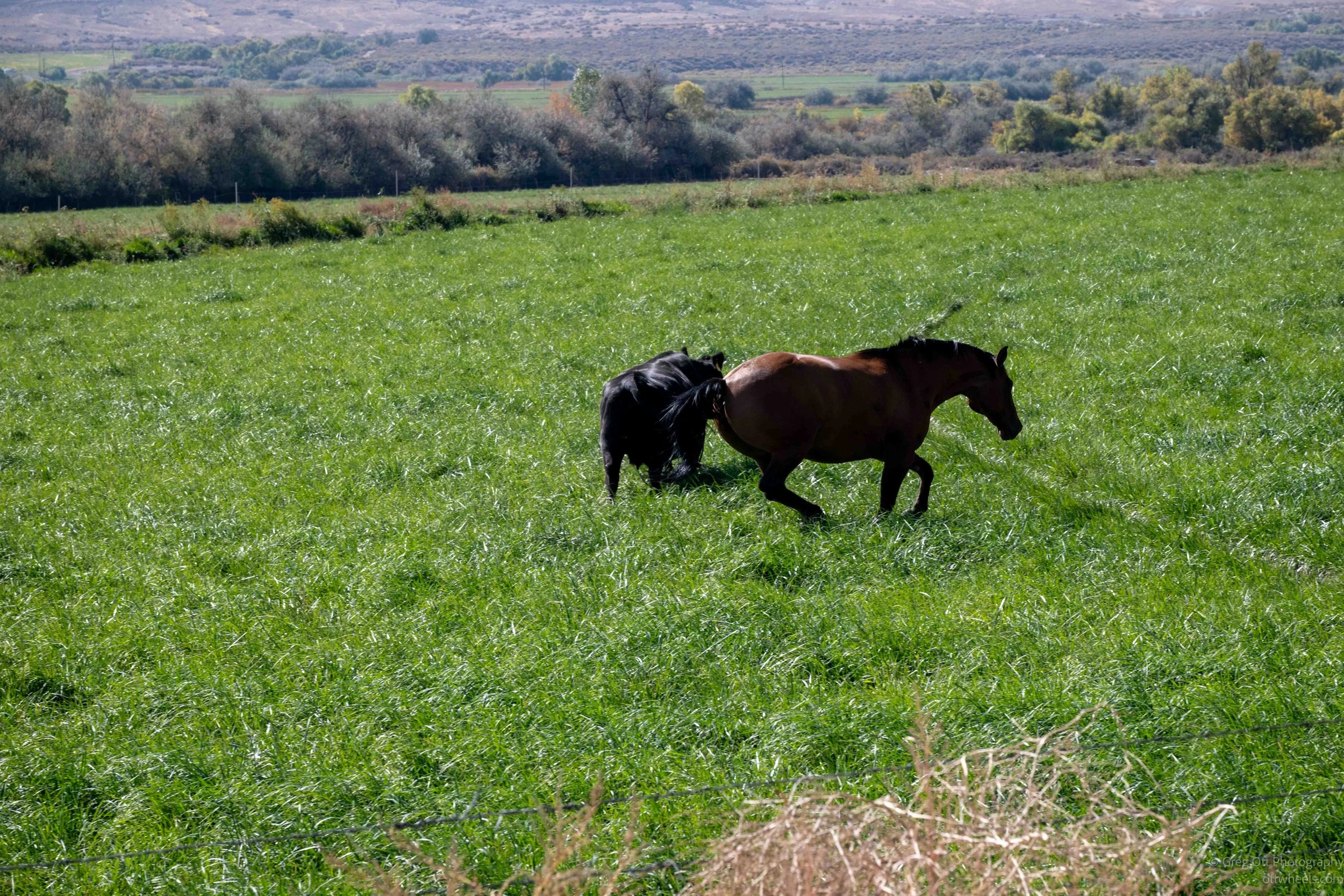
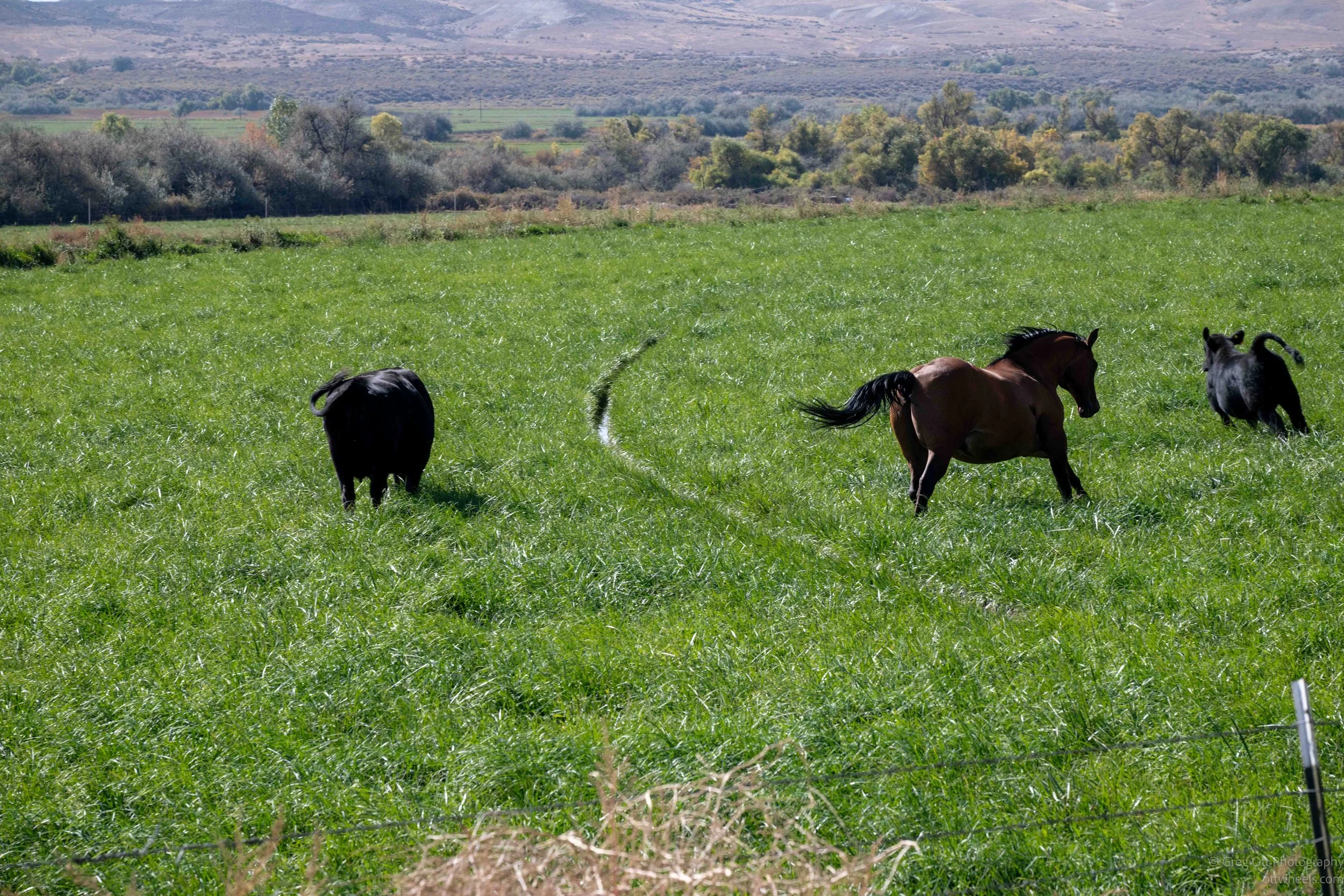
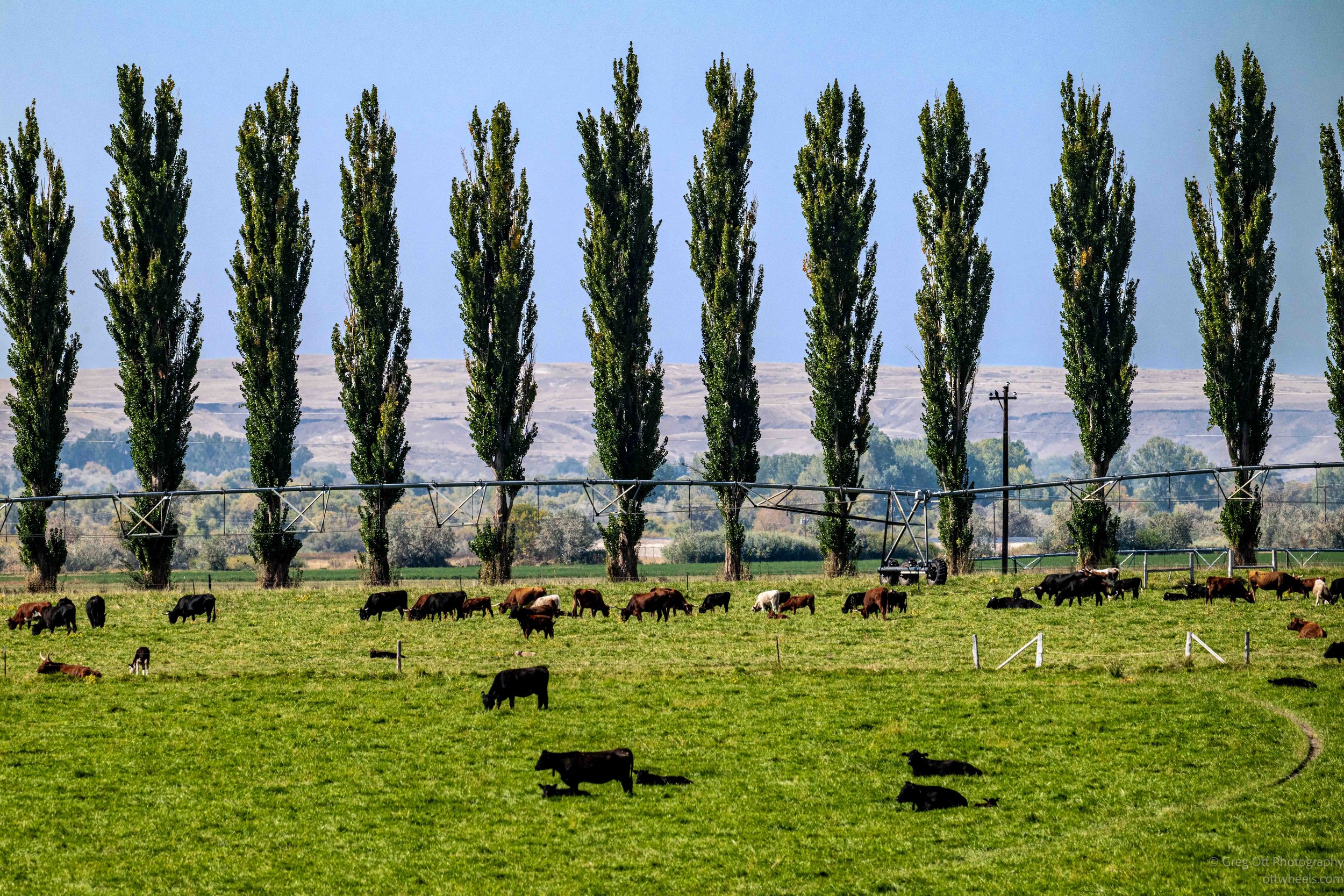
The farmer eventually passed me on an ATV with a big smile on his face and gave me a wave. He was heading down a dirt road to turn on the irrigation system. A little farther along, I stopped again to photograph another group of cattle grazing in a lush green pasture bordered by a row of unusually tall poplar trees planted as a windbreak. The contrast between the bright green grass, the dark vertical lines of the trees and the dry hills in the background caught my attention. It was such a different landscape from the desert I had been driving through earlier in the day.
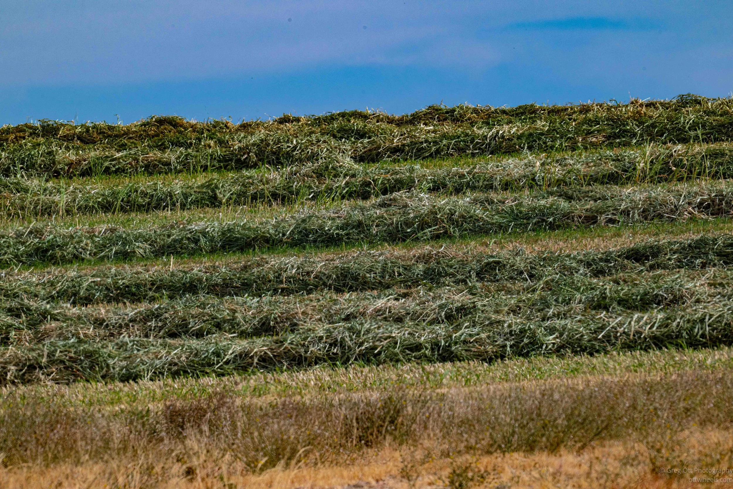
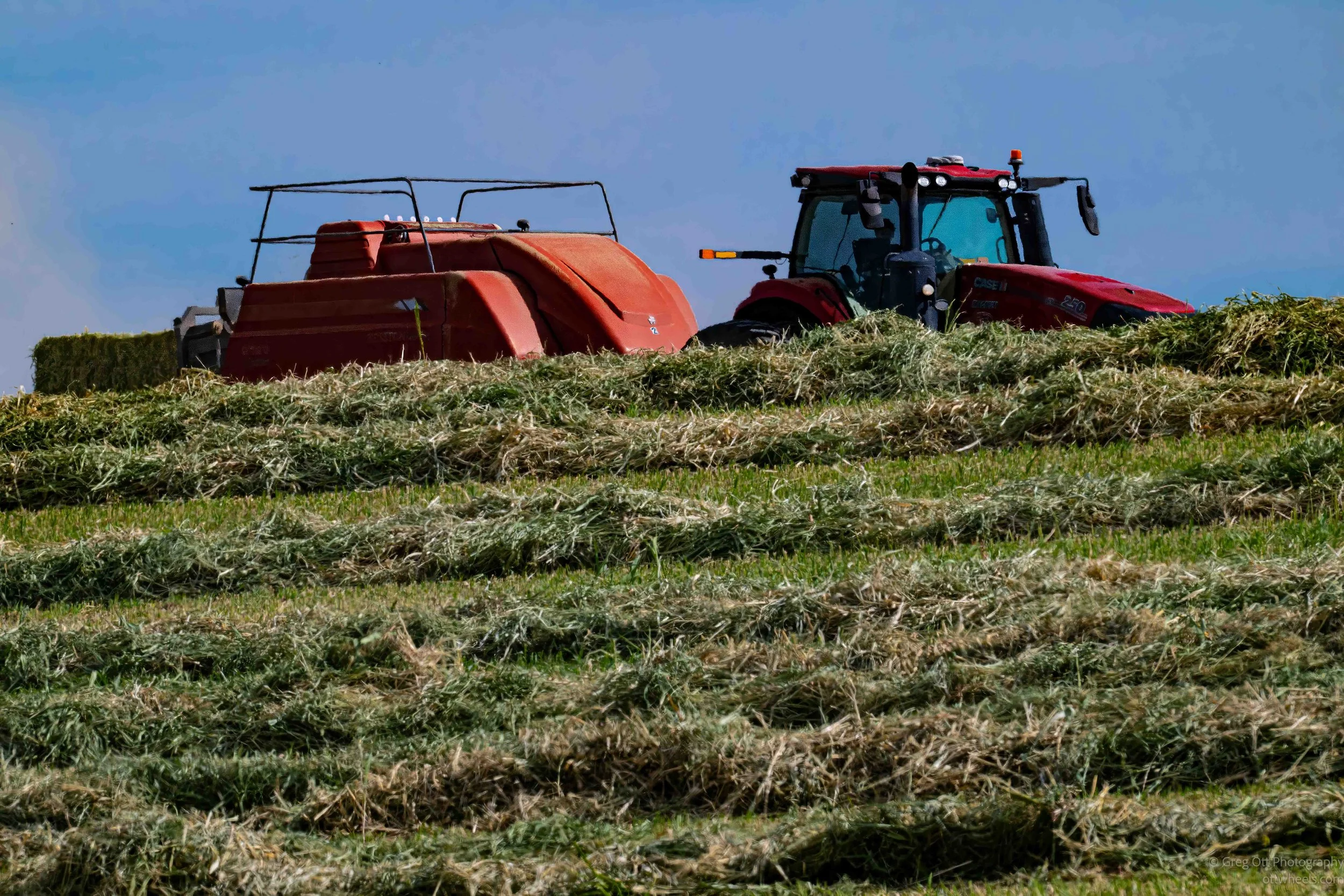
At one point, where several country roads came together, I noticed a farmer baling hay on top of a hill. Something about the scene caught my attention. The long rows of freshly cut hay created repeating patterns across the hillside, while the tractor and baler appeared almost flat against the sky. There was very little sense of depth, making the whole scene look almost two-dimensional. I pulled over and spent some time photographing the patterns and the machinery working its way across the field. It was one of those ordinary farming scenes that became much more interesting when viewed through the camera.
Malad Gorge State Park
I drove to Malad Gorge State Park near Hagerman, Idaho, thinking it might be a good place to get out and do some hiking. The main attraction is Devil’s Washbowl, where the Malad River flows through a narrow canyon with nearly vertical basalt walls dropping about 250 feet to the river below. A bridge crosses directly over the gorge, providing an impressive view of the water flowing between the steep cliffs and the enormous boulders scattered along the riverbed.
As usual, I spent some time reading the interpretive signs. The geology was interesting. Millions of years ago, volcanic eruptions covered much of the Snake River Plain with layers of basalt. Ancient waterfalls, sometimes called cataracts, gradually retreated upstream as water eroded the rock beneath them, helping carve the deep gorge. Underground springs also contribute enormous amounts of water from the Snake River Plain aquifer, one of the largest groundwater systems in the country. The signs explained that much of this water originates from precipitation and irrigation that slowly filter through the porous volcanic rock before emerging as springs along the canyon walls.
One of the signs also described an unusual episode from 1880, when three escaped prisoners from the territorial prison in Boise hid in the gorge after stealing horses and supplies from nearby ranchers. A posse eventually tracked them down, leading to a confrontation and a chase through the canyon. After several days, the exhausted prisoners were captured. It was an interesting bit of history for such an isolated place.
I spent some time photographing the gorge, particularly the narrow passage beneath the bridge and the rugged basalt walls. It was an impressive sight, although after seeing so many canyons on this trip, I think I was becoming a little spoiled. The hiking opportunities appeared to be limited to a few short trails and viewpoints, with a $12 admission charge. Since I was hoping for a longer hike, I decided to enjoy the views from the bridge instead. After about 30 minutes of exploring and taking photographs, I continued down the road.
Box Canyon
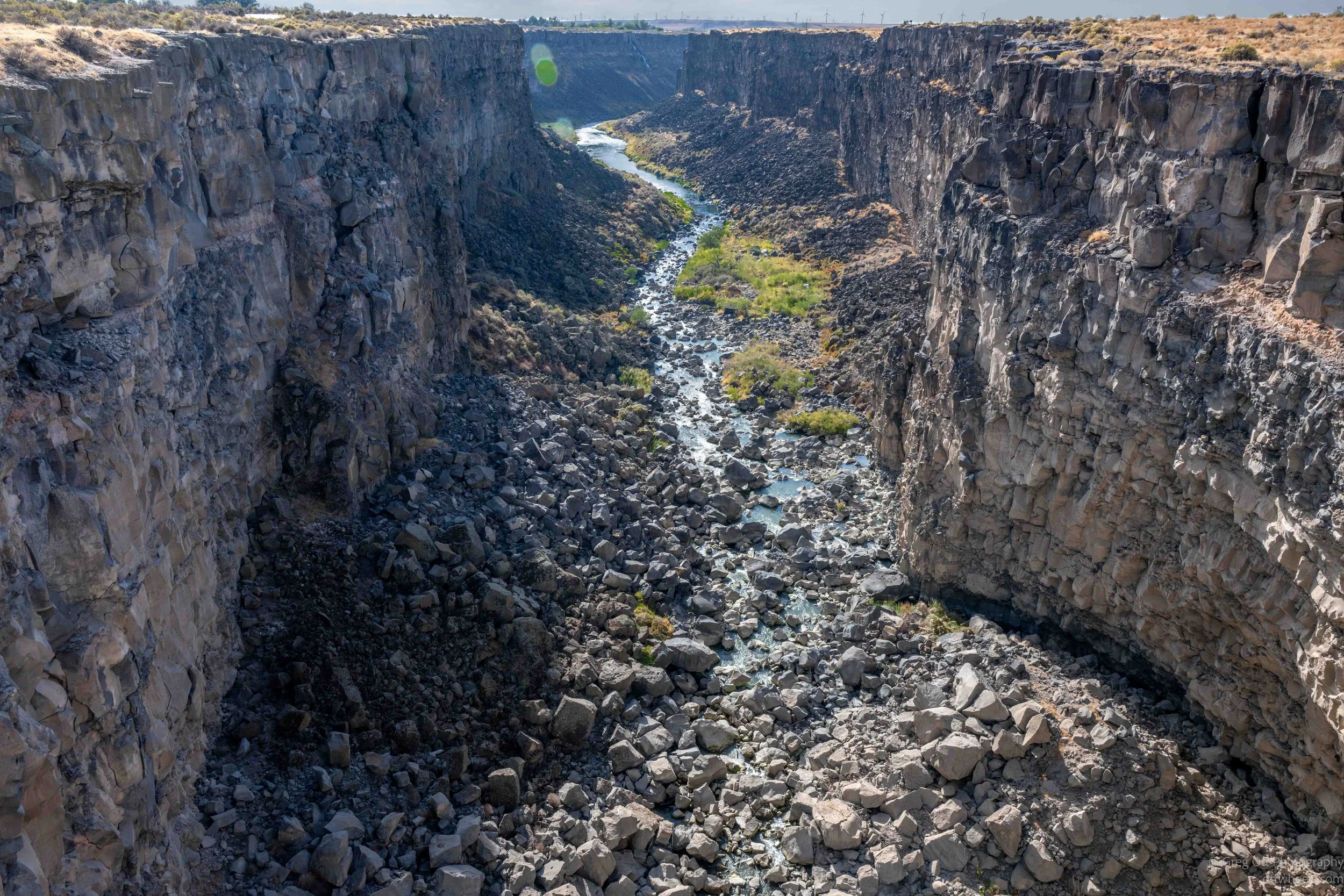
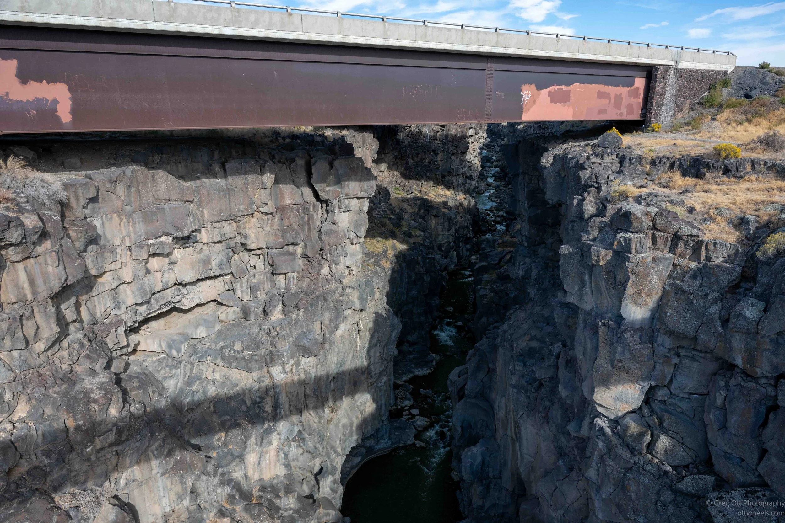
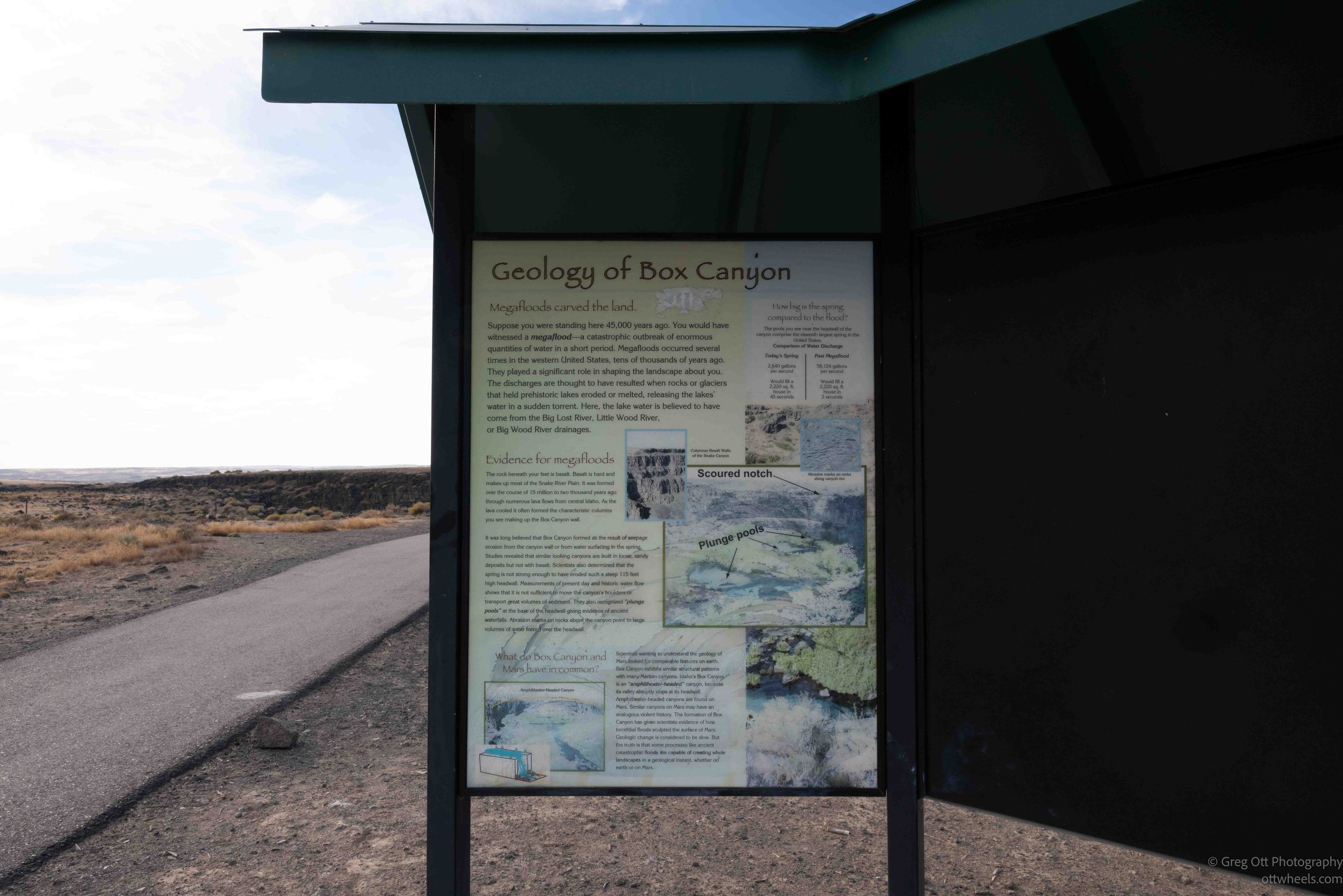
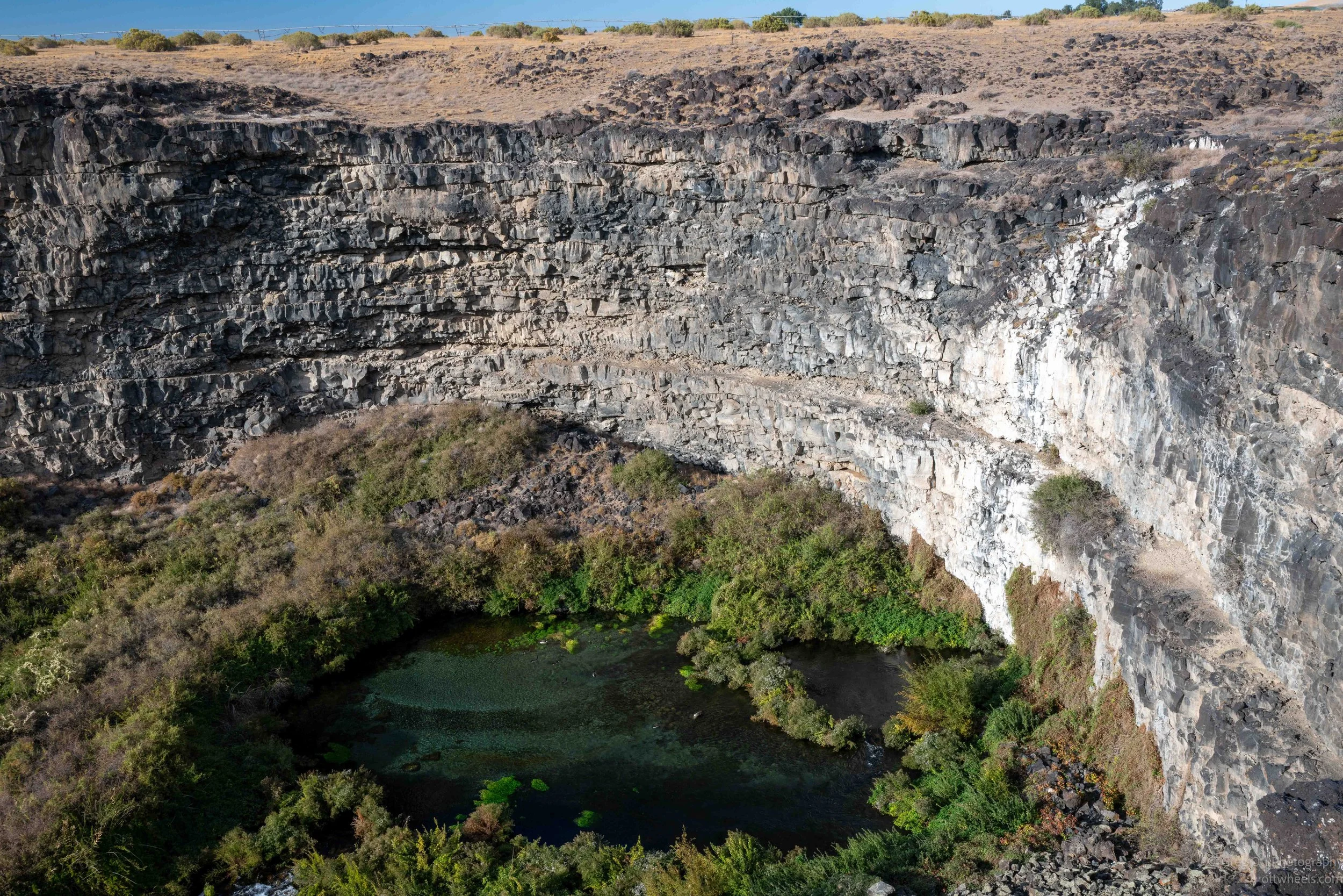
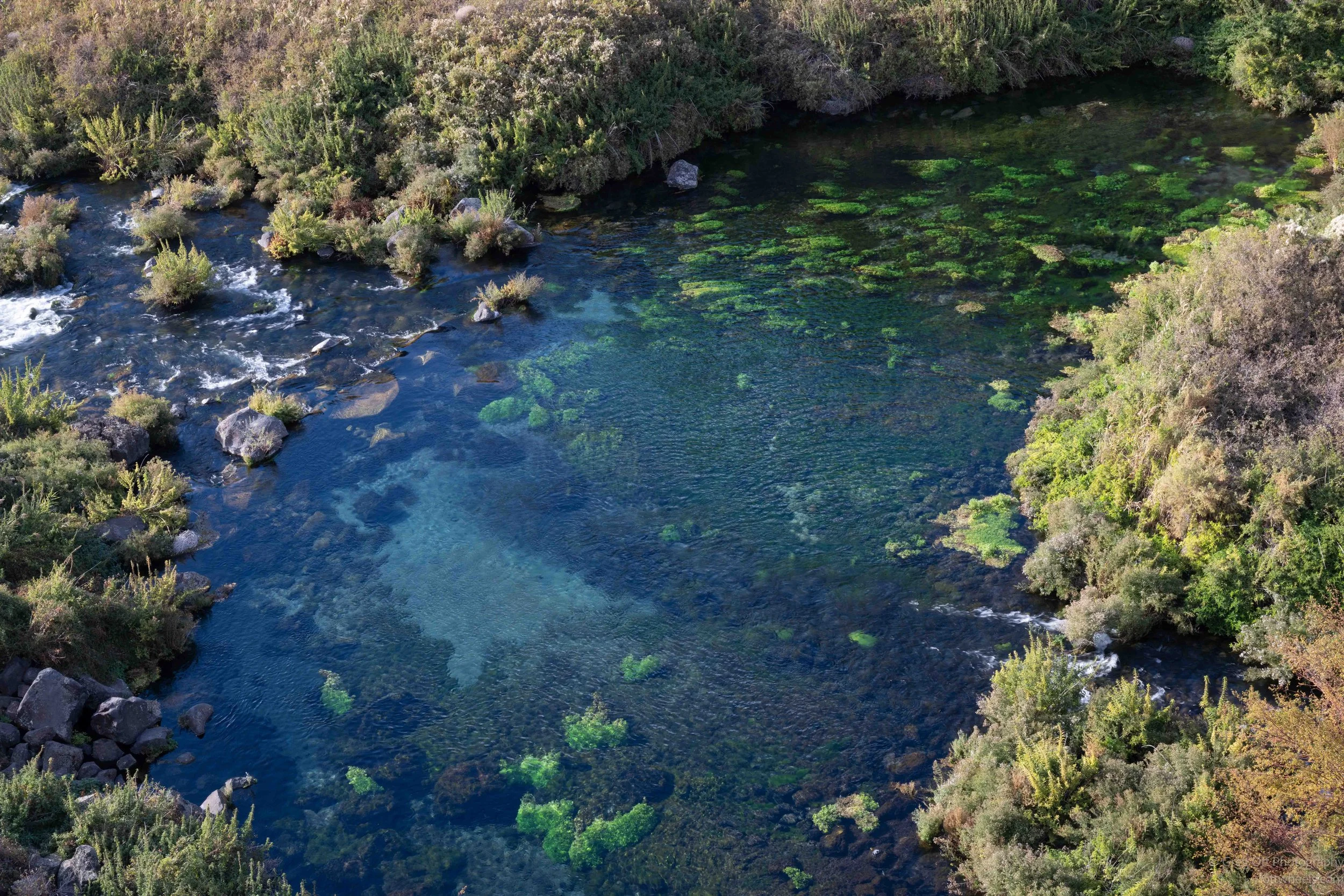
My next stop was Box Canyon, another section of Thousand Springs State Park near Hagerman. The canyon has an interesting geological history, shaped by ancient floods and the enormous amount of groundwater flowing through the Snake River Plain aquifer. The springs emerge near the base of the basalt cliffs, feeding a stream that flows through the canyon. Thousands of gallons of water pour from the springs every minute, creating a surprisingly lush environment in the middle of an otherwise dry, sagebrush-covered landscape.
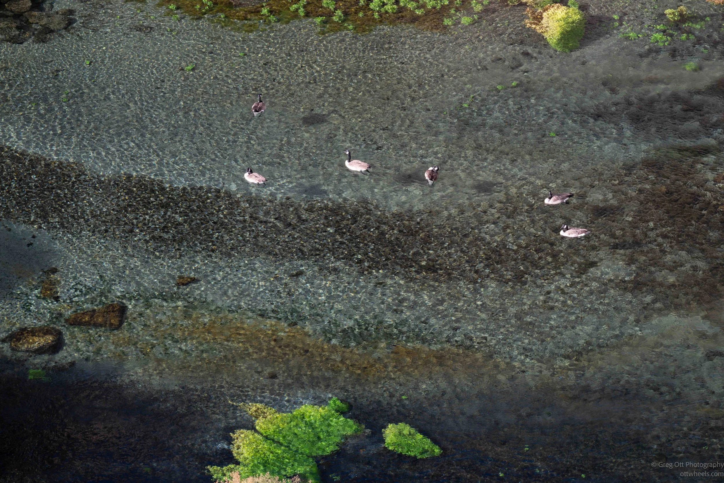
From the overlook, the contrast was striking. The surrounding plateau was dry and brown, with little indication of what was hidden below. At the bottom of the canyon were pools of crystal-clear water in beautiful shades of blue and green, surrounded by thick vegetation. I could see the rocks and aquatic plants beneath the surface, even from high above. Several ducks and geese were floating around in the shallow water. It was a beautiful and peaceful setting, and I spent some time photographing the patterns and colors in the water.
I would have enjoyed getting down to the stream and exploring the canyon from below, but I couldn't see an obvious way to reach it from where I was standing. There was hardly anyone around, and after spending some time enjoying the views and taking photographs, I walked back to the van to figure out where I was going next. I was still hoping to find somewhere to get out and take a longer hike.
Twin Falls
I eventually made it to Twin Falls, where it looked like some kind of street festival was happening downtown. I found a place to park a few blocks away and took a nap. Sometime after 7 p.m., I walked downtown to what turned out to be an Oktoberfest celebration.
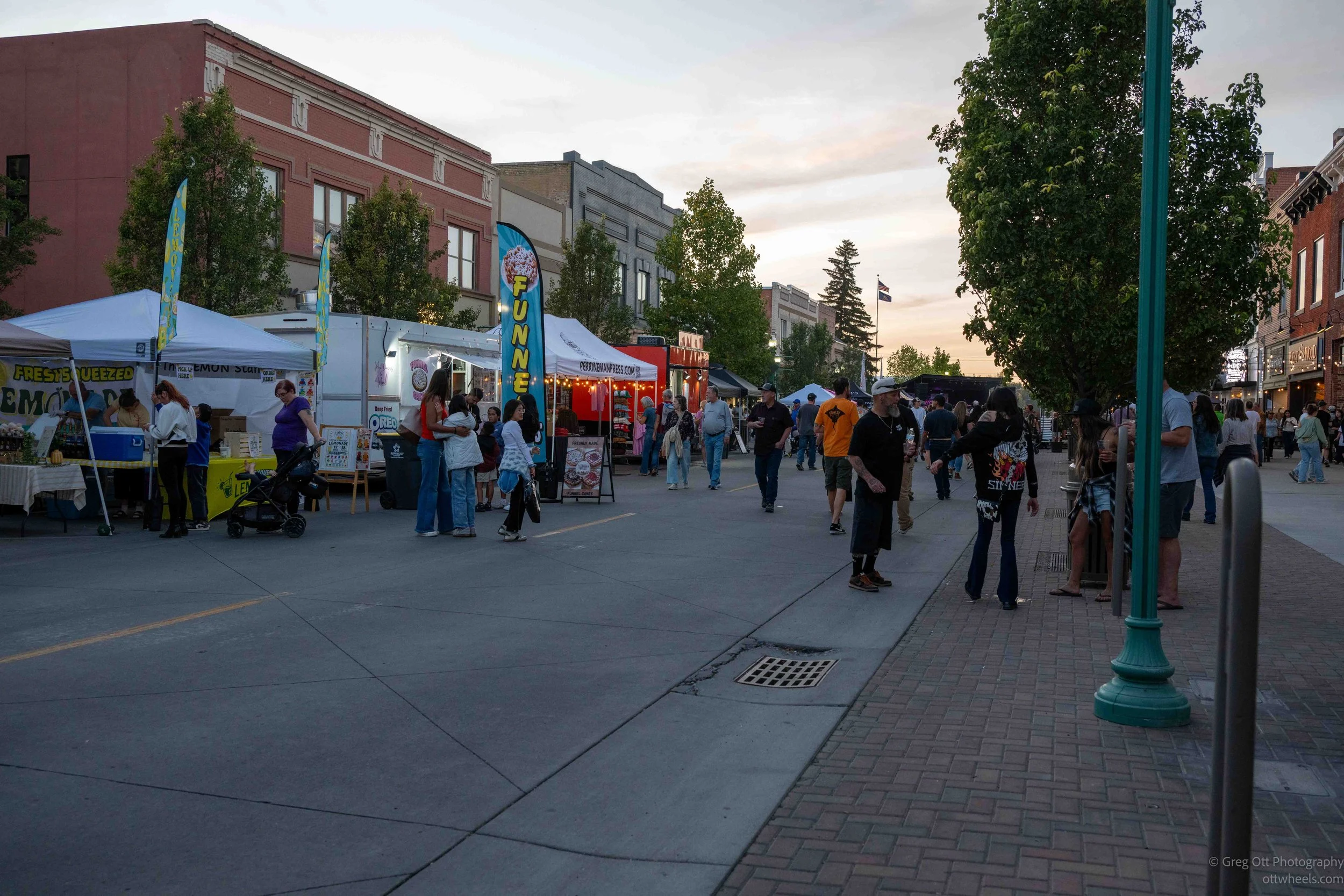
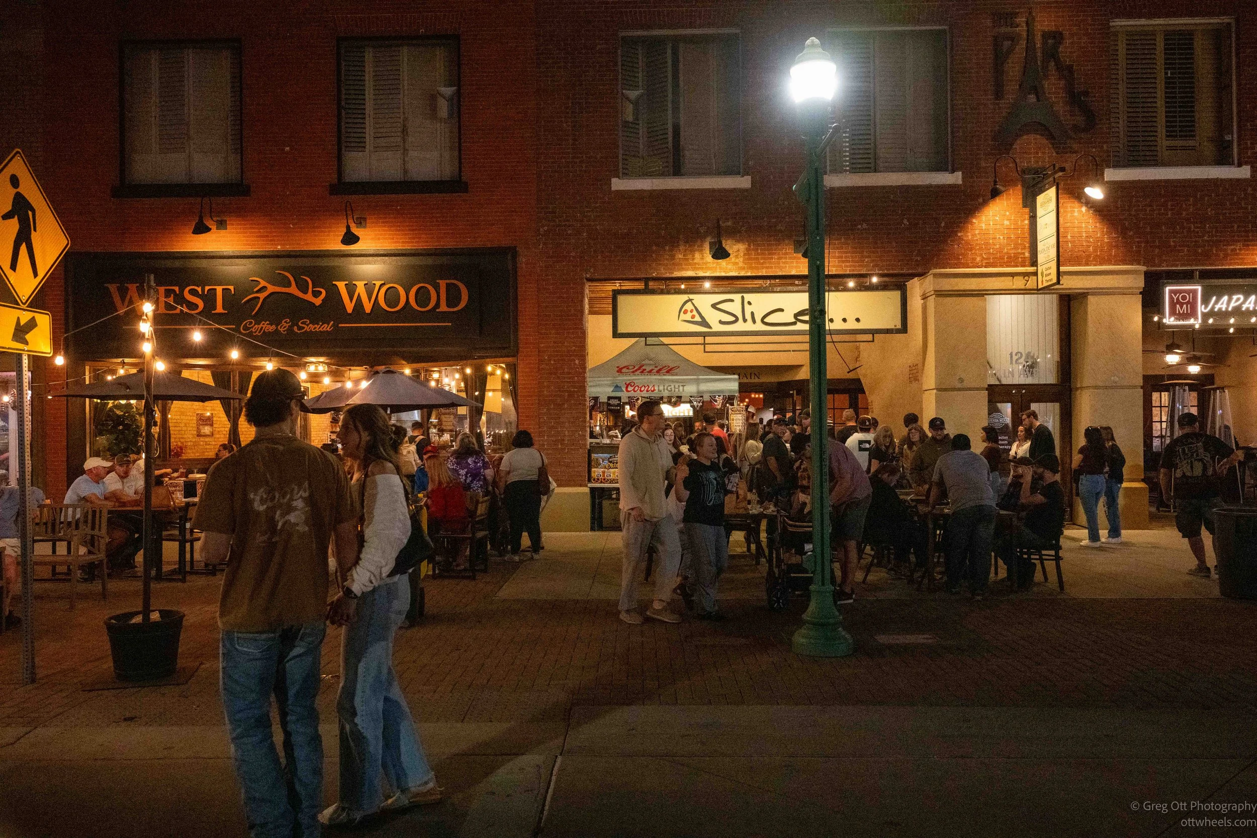
The streets were closed to traffic, with booths selling everything from jewelry to real estate services, along with food trucks and local businesses promoting their products. I wandered around for a while, watching people and hoping the band would be good. The longest lines were for beer and food, and several downtown restaurants were staying open later than usual.
None of the food looked particularly appealing, but I decided to try what was advertised as a fruit drink. I don't remember exactly what they called the one I ordered, but I watched them make it. A large spoonful of sugar, several pumps of berry flavoring, ice, water and then more sugar on top — all for $10. I'm not sure there was anything resembling an actual berry in the drink. Bad choice!
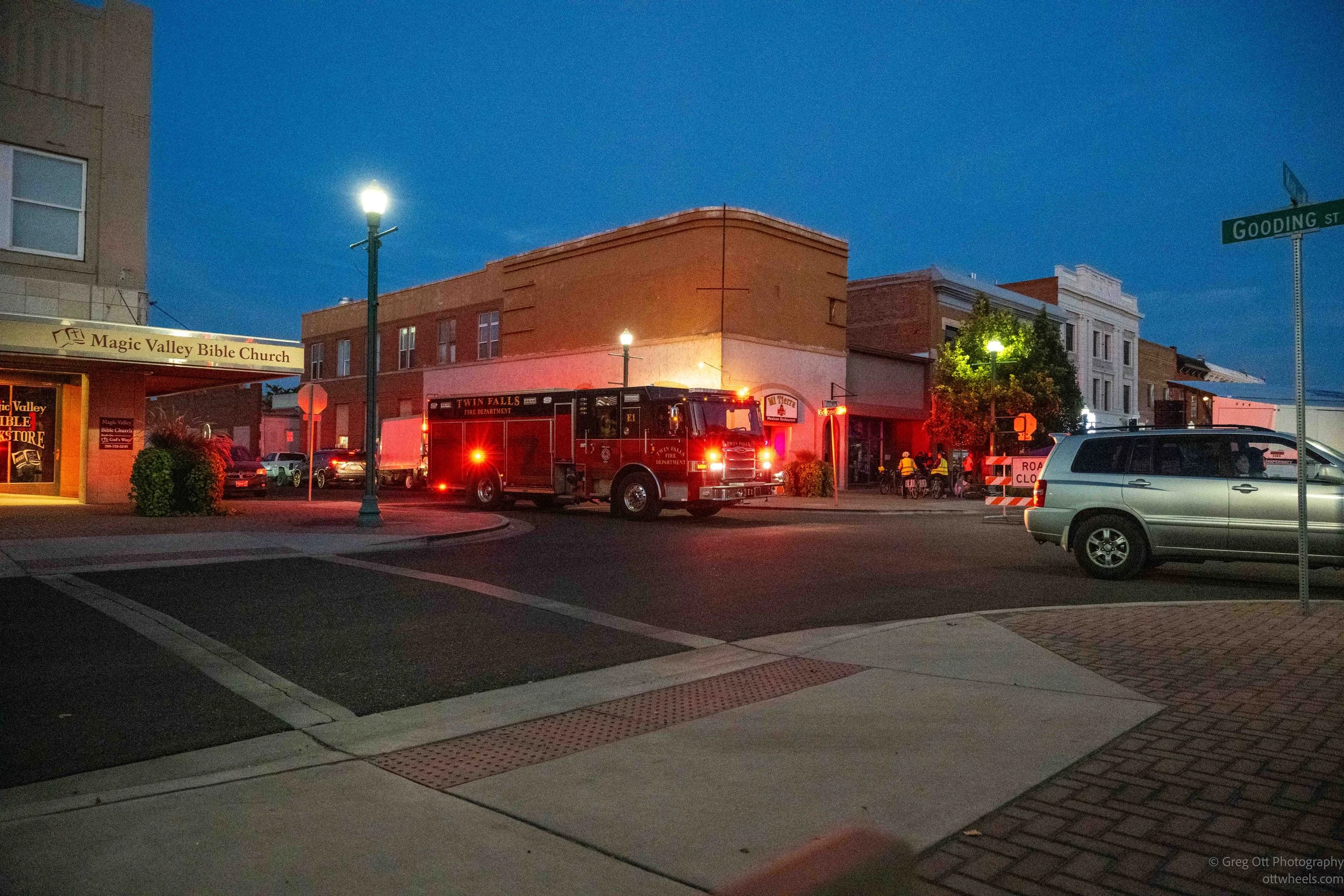
I walked to the end of the street and found a bench where I could sit and enjoy my sugar drink while pretending I was hydrating. Suddenly, a fire truck, ambulance and several other emergency vehicles with flashing lights came driving past. The excitement lasted a few minutes, and then things returned to normal.
I stayed for the first set of the band. At one point, they announced that they were heading to the Whisky a Go Go in Los Angeles for a show in a few weeks. That brought back some memories. It's the club where The Doors got their start, and I had been there several times for shows. Probably the most iconic group I saw there was the L.A. band the Go-Go's in the 1980s.
It was the era of slam dancing, with people throwing themselves around on the dance floor and occasionally coming away with bloody noses or worse. I was never into getting my head slammed around, but every visit to the Whisky was interesting. Sorry, I just got lost in some fun memories.
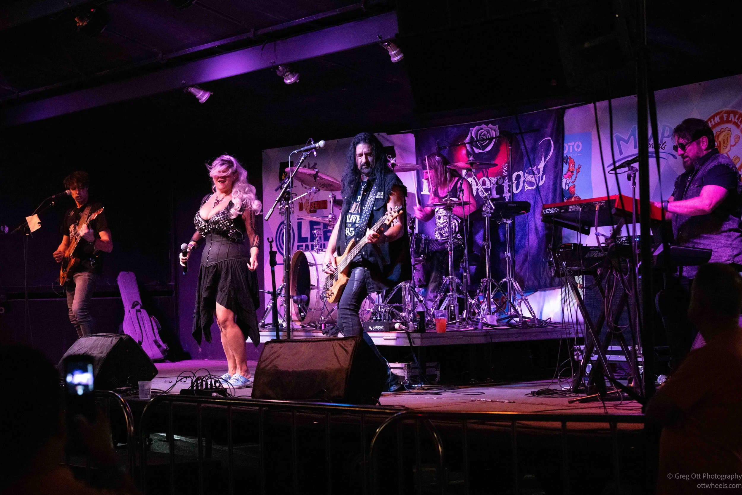
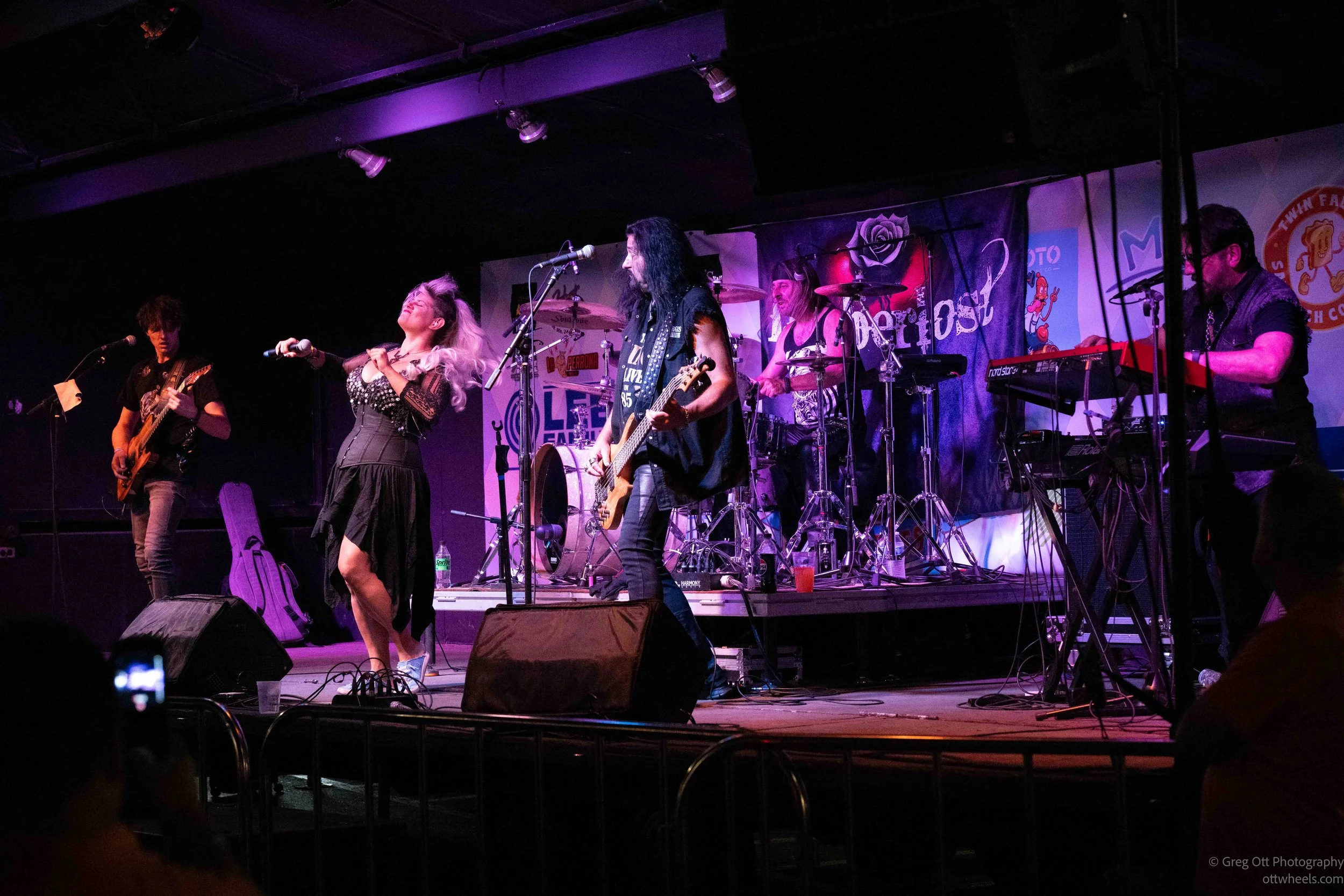
The band was loud, and I felt sorry for the people trying to enjoy dinner at the nearby restaurants. A few people were really into the music, but most were standing farther away where they could actually talk to one another. I continued walking around downtown, enjoying the activity and watching people. It was nice to see a downtown area with so many people out enjoying the evening.
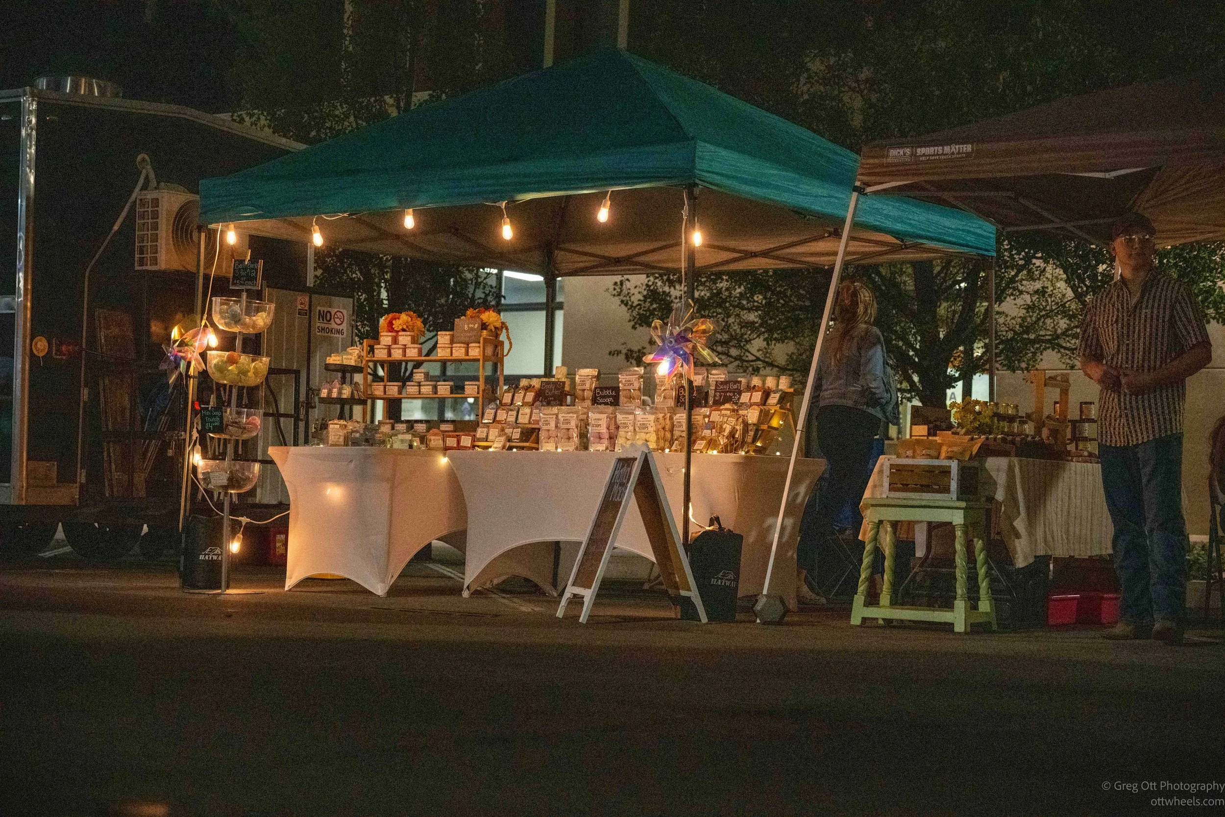
There were still vendors selling their products, with their booths illuminated by strings of lights as it grew darker. I wandered through a few more of them, not really looking for anything in particular.
As I continued walking, I came across a tiny house on display and decided to take a tour. I ended up spending about 45 minutes talking with the builders. They told me it had cost them about $50,000 to build, and they were trying to sell it. One of the challenges was financing, with interest rates over 7 percent. Apparently, it can also be difficult to find a place where you can permanently park one of these houses.
They had considered offering their own financing, but that introduced another set of problems, particularly collecting payments if something went wrong. One of the builders was in the military part-time and wanted to know where I was from and hear about my travels. When I mentioned photography, he told me his wife was also interested in it and gave her a call.
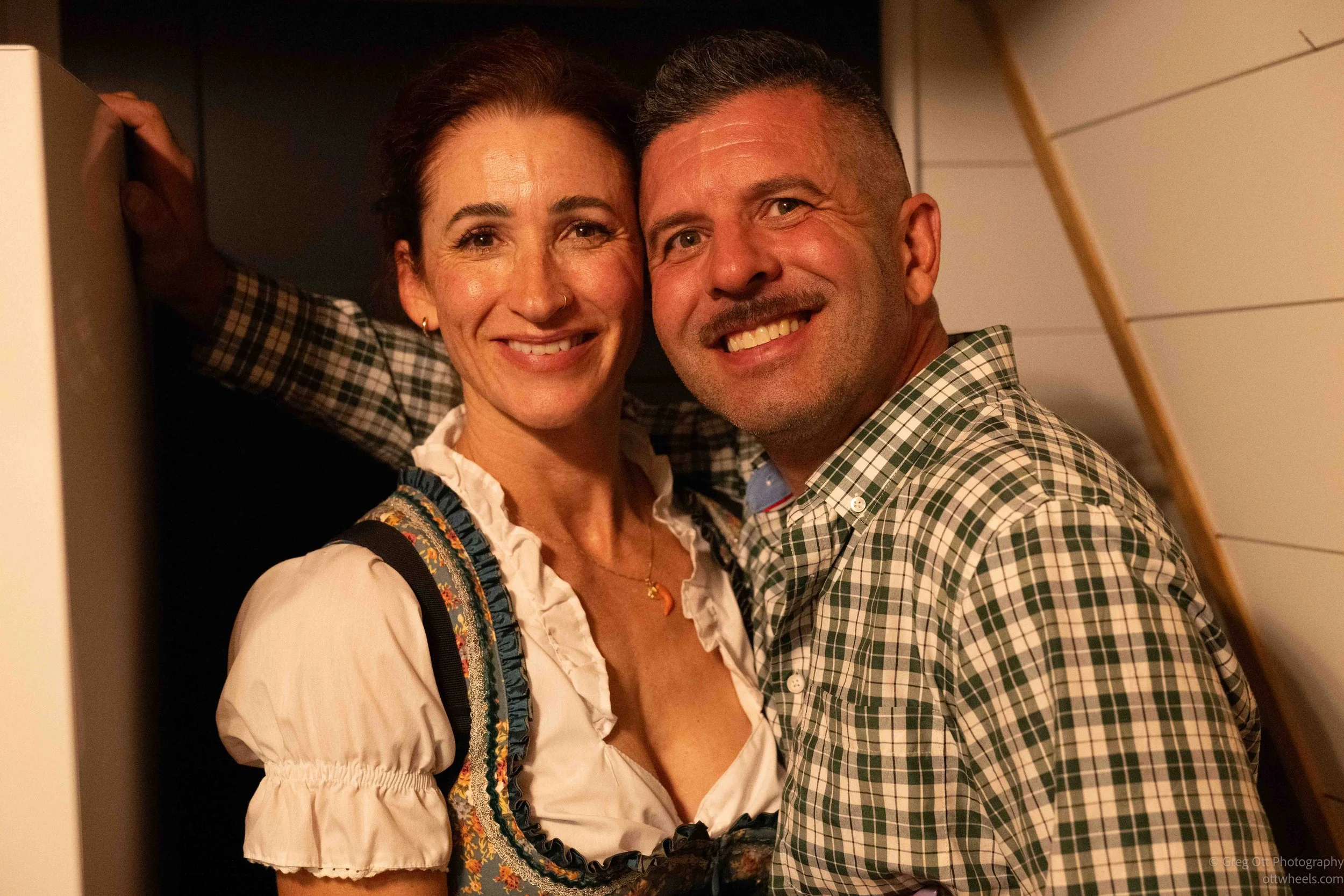
She arrived about ten minutes later, and we spent some time talking about her photography. She showed me her Instagram page, and we compared some of our experiences. Before leaving, I asked if I could take a photograph of the two of them. What started as a quick look inside a tiny house had turned into an enjoyable conversation.
I eventually left Twin Falls and drove about 30 minutes out of town to a large open field that appeared to be some kind of trailhead. I didn't realize until the next morning that it was also an ATV hotspot. When I arrived, though, it was completely dark and quiet. It seemed like a good place to stop for the night.