Craters of the Moon
9/22: Idaho Falls - New Tires
I was waiting for the new tires to come in to Discount Tires. By mid afternoon they arrived and I drove over to get them installed. With the wait and installation it took about 45 minutes. Instead of driving through the late afternoon, I planned the next few days in Idaho. I was hoping to see some old friends in Sun Valley. I called them and they changed their plans and remained in New York. It was nice to have a long conversation and I told them I would try to see them sometime in NYC. It was dinner time and I ended up going to Mahana Fresh of Idaho. This was supposed to be a health meal but it fell very short of my expectations.
9/23: Drive to Craters of the Moon
It was a full day today. I left the turnout by the Mazda dealer in Idaho Falls and drove over to Fred Meyer. I was out of coffee and was hoping they had my favorite Lavazza Italian Roast. They did, so the day started well. I had already eaten breakfast and had a full tank of gas, and by about 9:30 I was headed toward Craters of the Moon National Monument and Preserve. The drive was less than two hours, and I wasn't in any hurry. For the next few hours, I kept finding interesting places to stop along the way.
Three Buttes
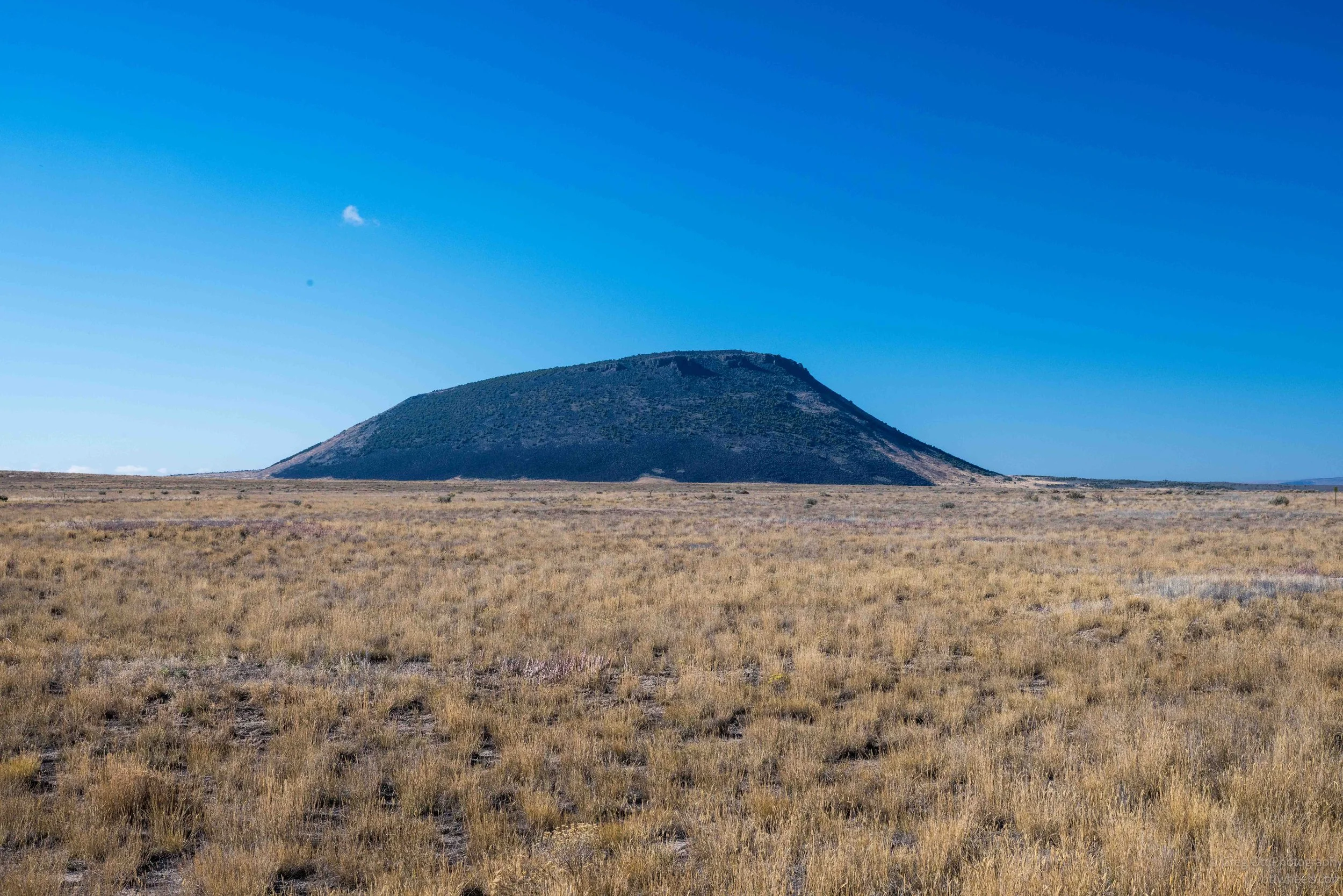
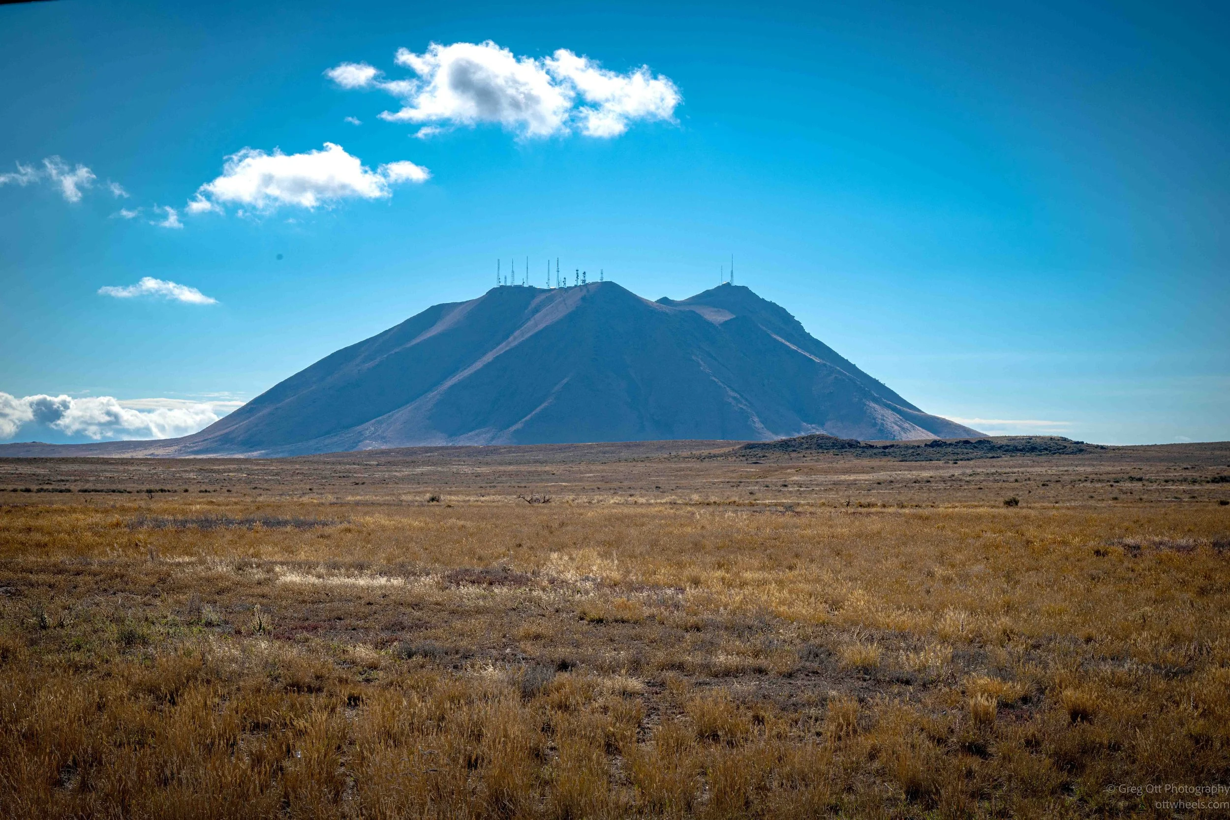
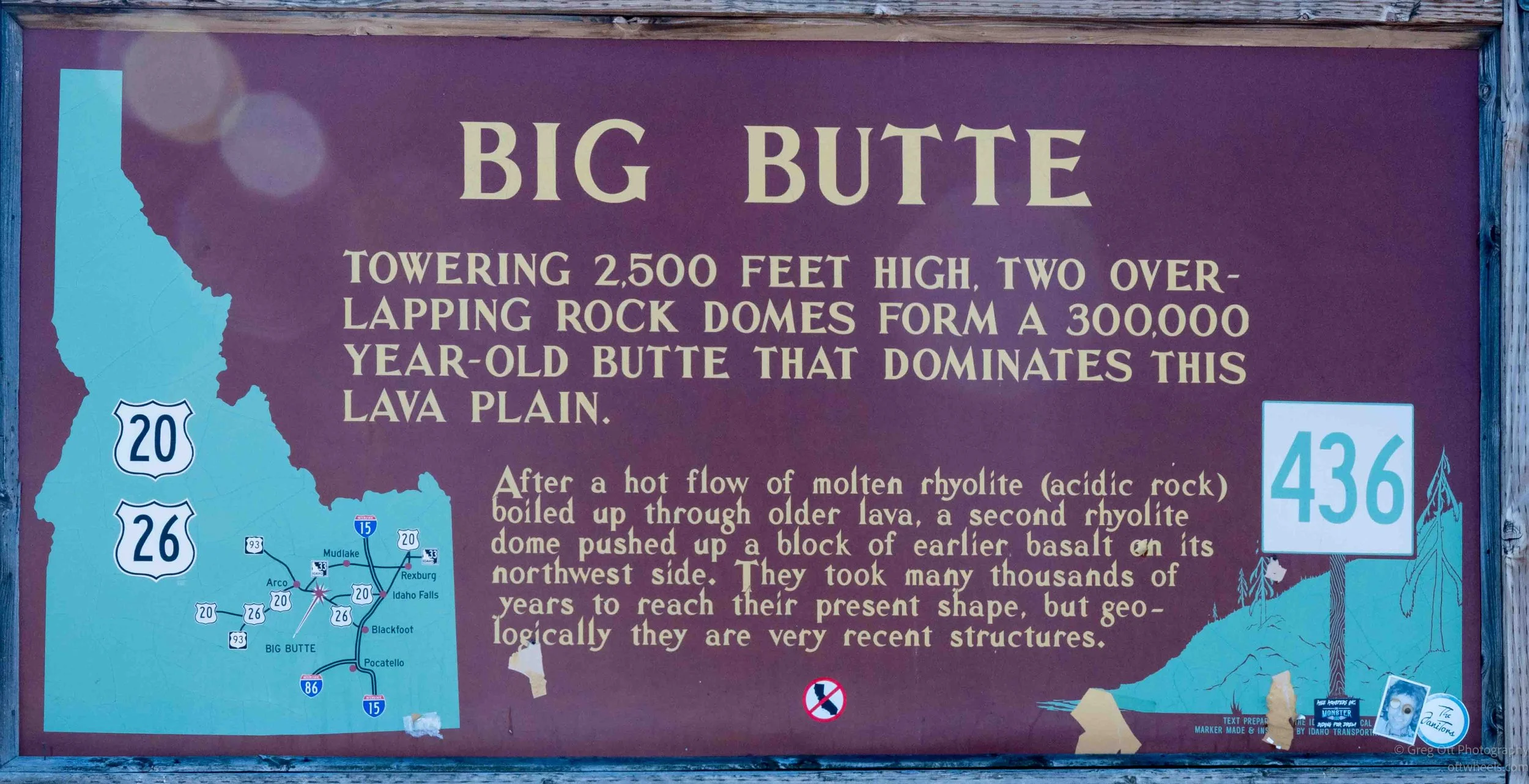
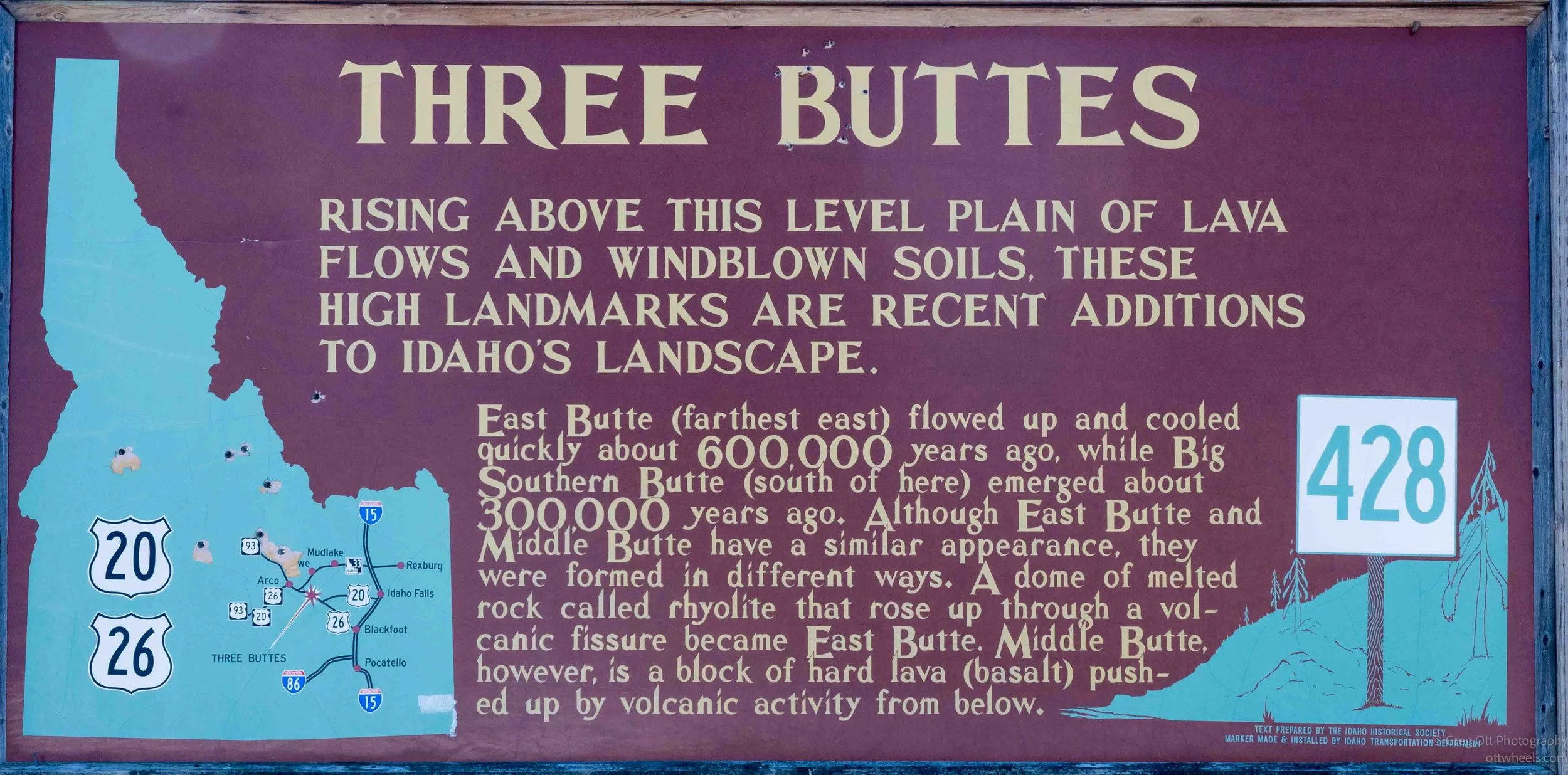
I passed one of those brown Point of Interest signs and decided to pull in. The stop overlooked a broad, nearly level plain with several isolated buttes rising out of it. A roadside marker identified them as the Three Buttes (Big Southern Butte, Middle Butte, and East Butte) and explained that, geologically speaking, they are relatively recent additions to Idaho's landscape. East Butte formed about 600,000 years ago, while Big Southern Butte emerged about 300,000 years ago. East Butte and Middle Butte look similar from a distance, but they were formed differently. East Butte is a dome of rhyolite—molten, silica-rich rock that pushed upward through a volcanic fissure—while Middle Butte is actually a block of older basalt that was shoved upward by volcanic activity beneath it.
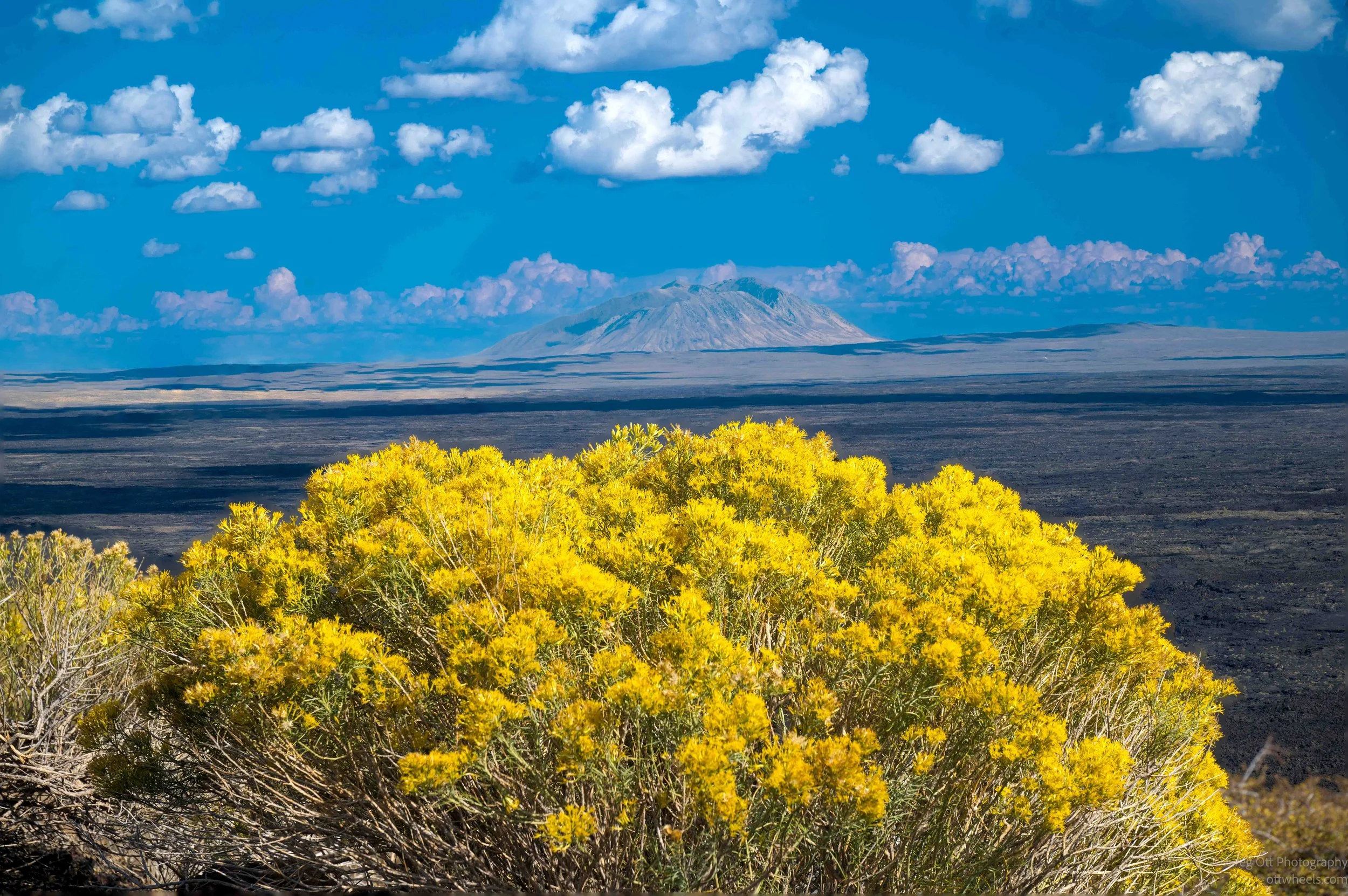
Big Southern Butte was the one that really stood out. It rises about 2,500 feet above the surrounding lava plain and is made up of two overlapping rock domes that formed roughly 300,000 years ago. According to the sign, molten rhyolite first pushed up through older lava, followed by a second rhyolite dome that lifted a block of earlier basalt along its northwestern side. Standing there looking across the flat, dry plain, the buttes suddenly made a lot more sense. They weren't just random hills sitting out in the middle of nowhere; they were pieces of the same volcanic story I was about to spend the rest of the day exploring at Craters of the Moon. I spent about fifteen minutes reading the signs, taking a few photographs and looking across the landscape before getting back on the road.
Experimental Breeder Reactor No. 1
I was off again, but I didn't get very far. A few miles later I saw another sign, this time for something nuclear, and turned off toward EBR-I—the Experimental Breeder Reactor-I. Before getting out of the van, I watched a couple of YouTube videos about the site so I had some idea what I was looking at. The museum itself was closed for the season, but there was still quite a bit to see outside.
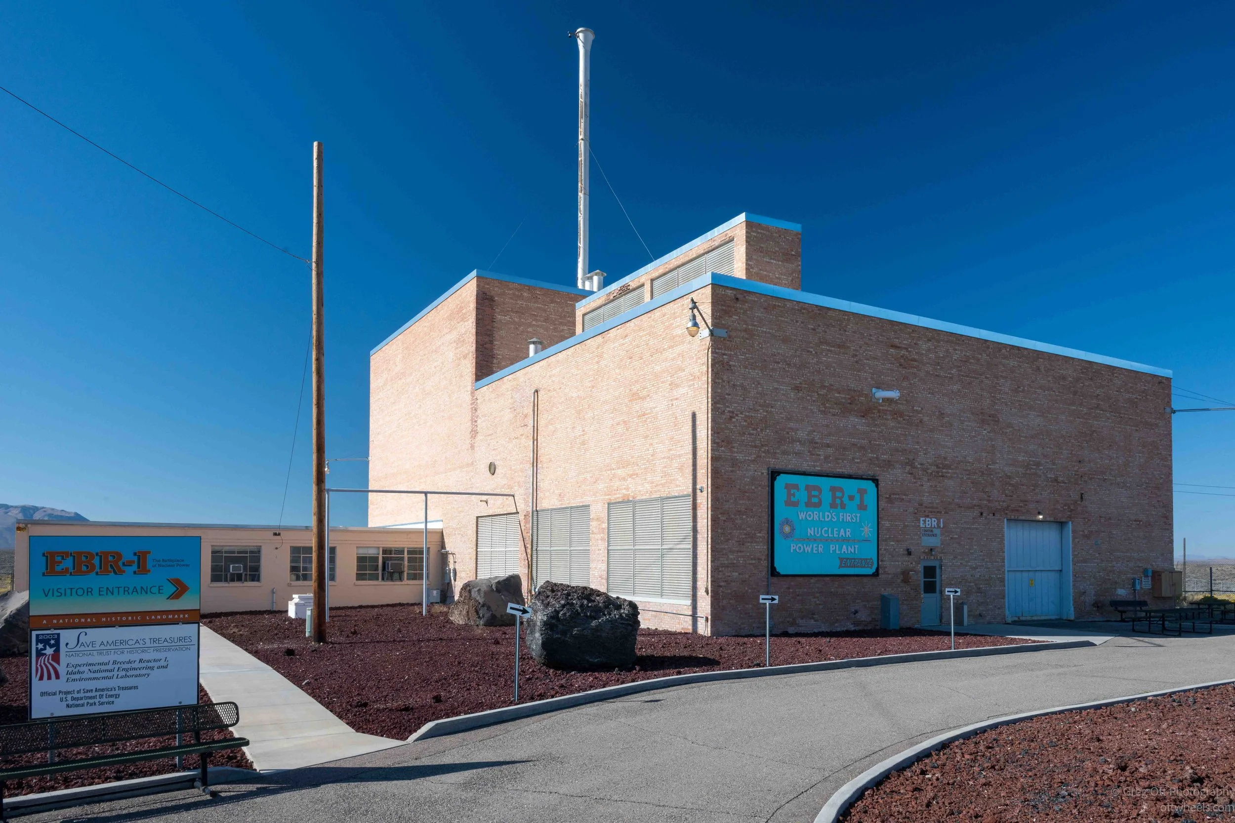
EBR-I is one of those places that doesn't look particularly dramatic until you understand what happened there. On December 20, 1951, it became the first power plant in the world to produce a usable amount of electricity from nuclear fission, initially lighting four 200-watt bulbs. The next day the reactor produced enough electricity to power the entire building. EBR-I later became a National Historic Landmark.
What really caught my attention were the two enormous rusting machines sitting outside the museum. They were part of the Heat Transfer Reactor Experiment program, an attempt during the 1950s to develop a nuclear-powered aircraft. The idea was to use heat from a reactor to power jet engines, potentially allowing an aircraft to remain airborne for extremely long periods without conventional fuel.
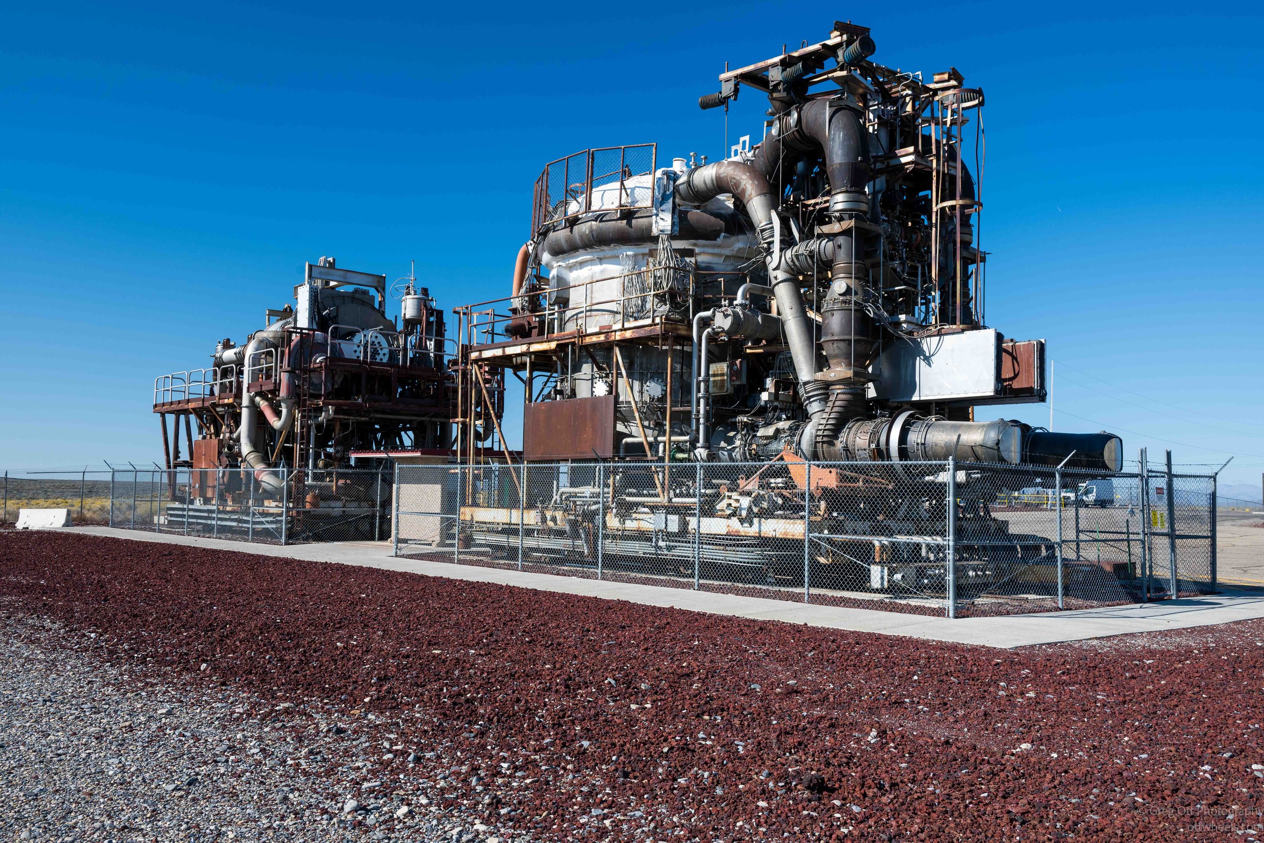
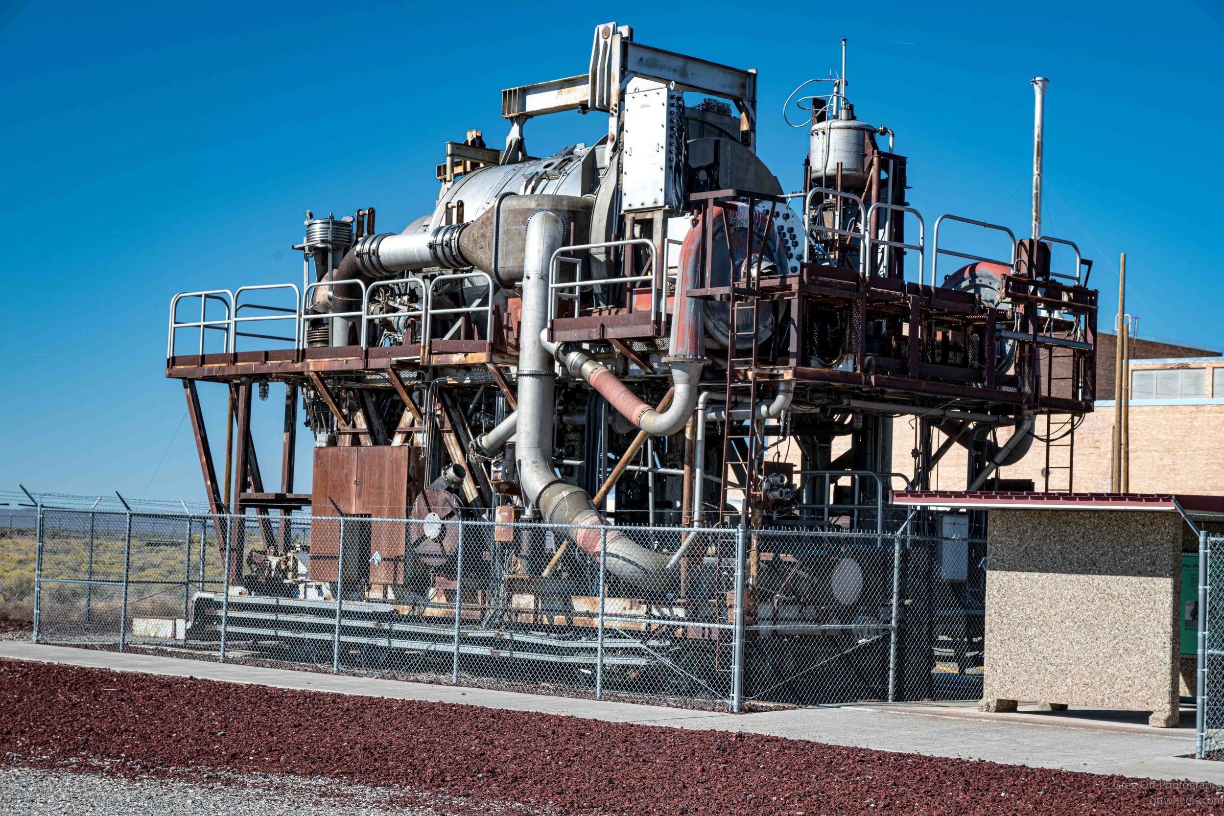
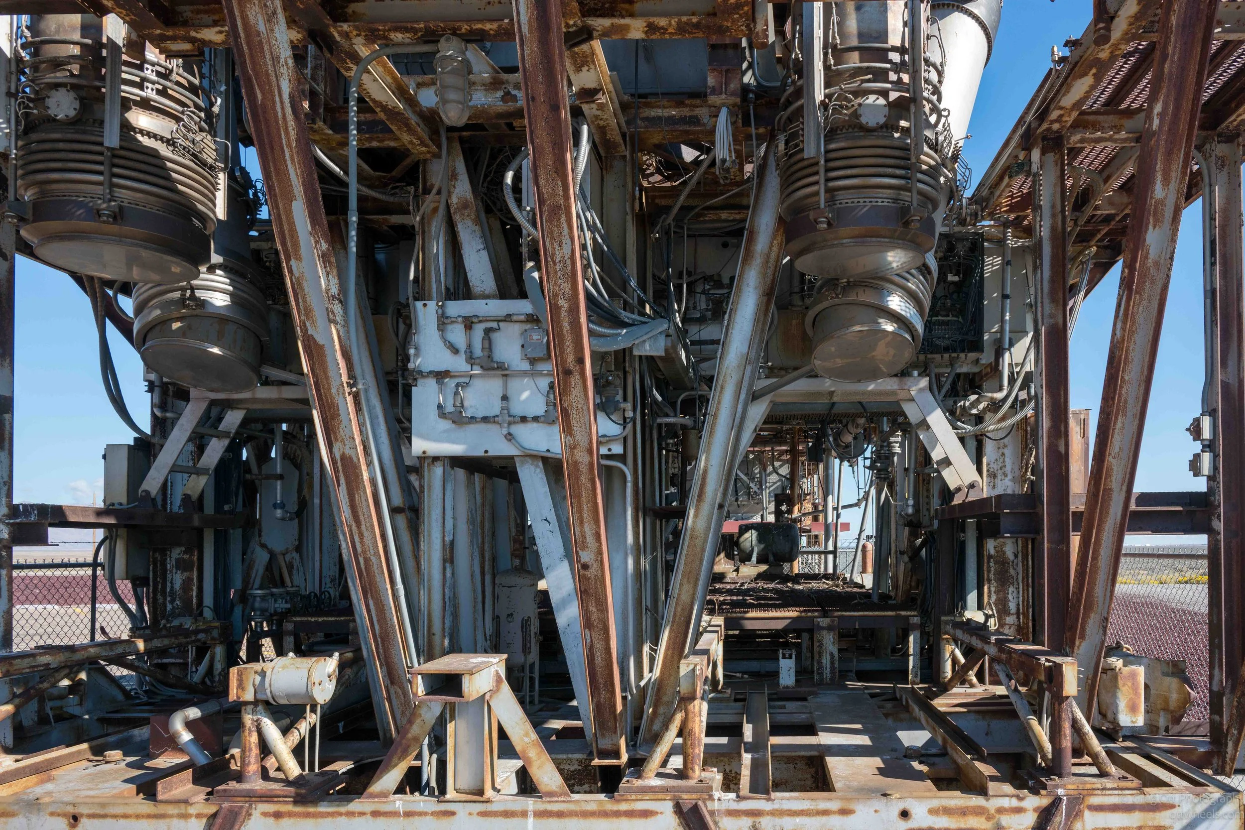
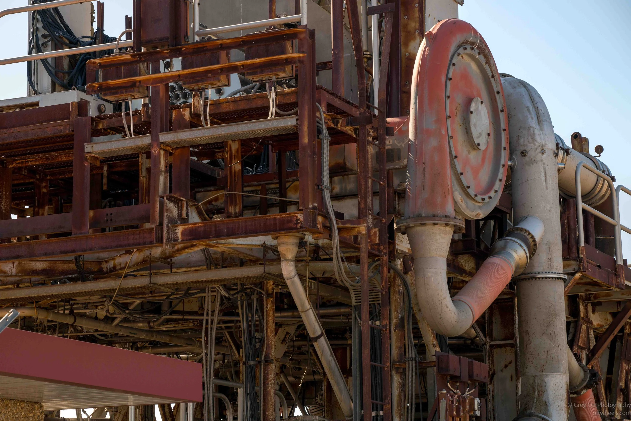
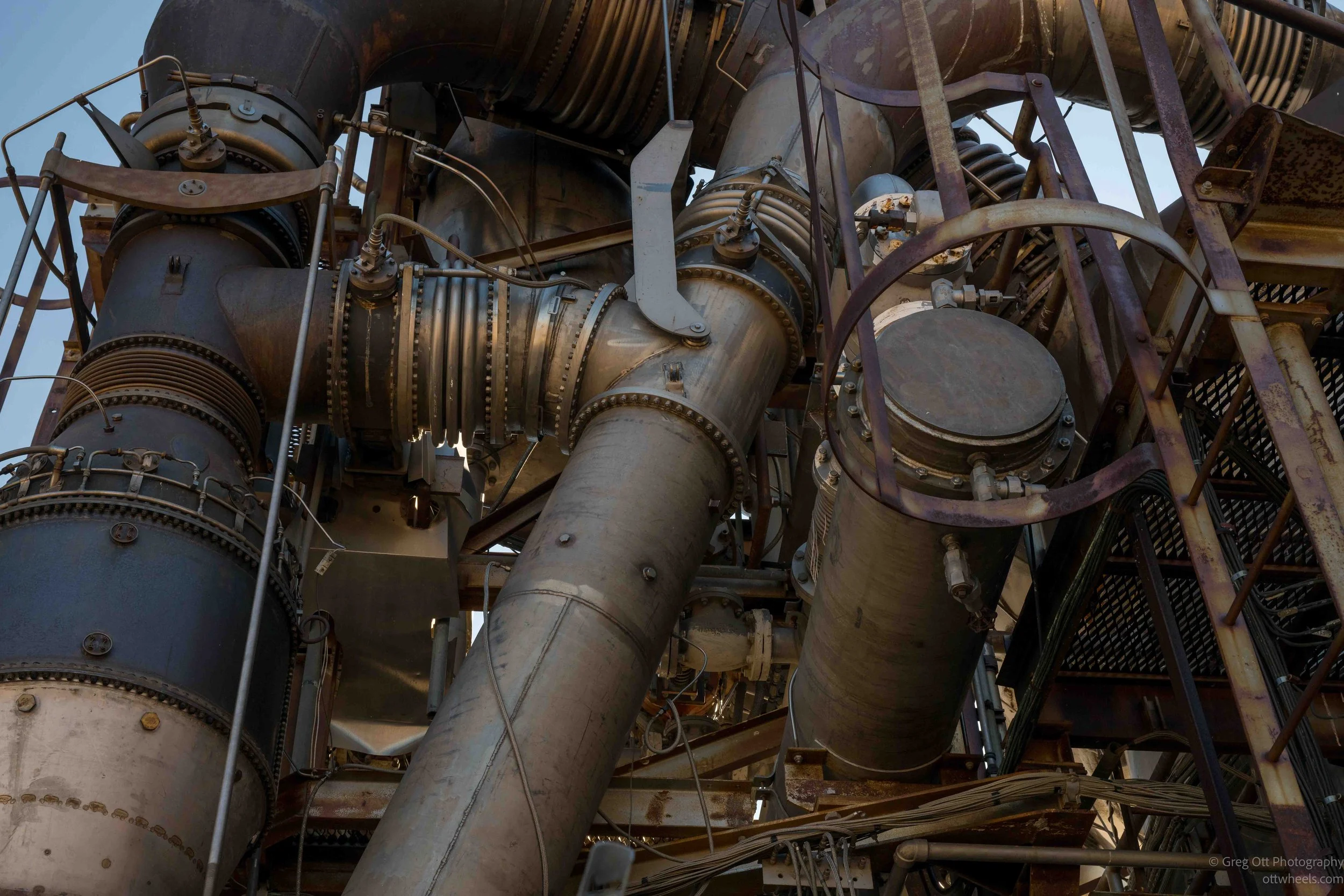
I found the HTRE installations fascinating. Huge pipes twisted through the framework, with expansion joints, turbines, valves, wiring and heavy steel supports packed together in almost every direction. They looked less like museum pieces and more like something left behind in a futuristic dystopian movie. It was exactly the sort of mechanical complexity I like photographing.
The information panels explained that HTRE-I demonstrated the basic principle of using reactor heat to power turbojet engines. HTRE-2 became a materials test reactor, while HTRE-3 was built in a more aircraft-like configuration and could run two turbojet engines at the same time. The nuclear-powered bomber was never built, and the program was canceled in 1961.
There was also a darker side to the history. A display described the 1961 SL-1 accident, when three military reactor operators were killed during startup of an experimental reactor about nine miles away. A sudden power surge caused a steam explosion, and the accident remains the only U.S. reactor accident to have directly caused fatalities.
Rest Stop
There was a rest stop not far down the road, and by this point I was beginning to realize how much history was packed into what looked like an empty stretch of Idaho desert. I stopped and ended up reading every sign. People have lived and traveled through this area for more than 10,000 years, and Big Southern Butte was an important source of obsidian for Native American groups. Later, emigrants followed Goodale's Cutoff across this part of the Snake River Plain, using Big Southern Butte as a landmark before turning west along the northern edge of what is now Craters of the Moon.
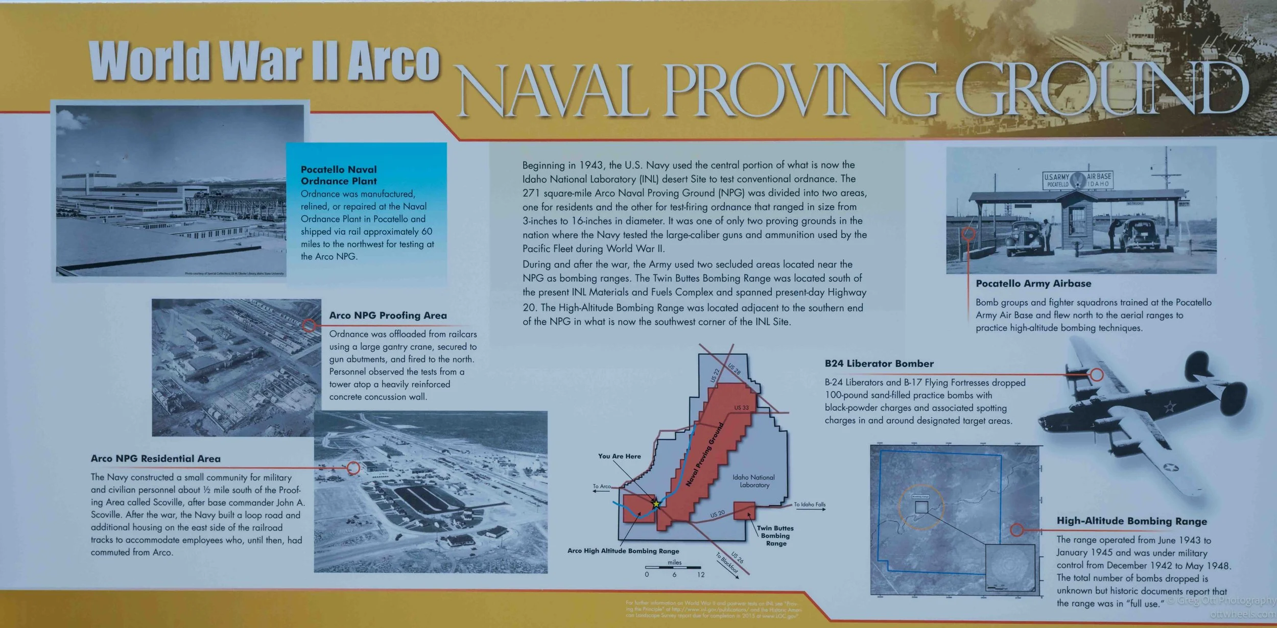
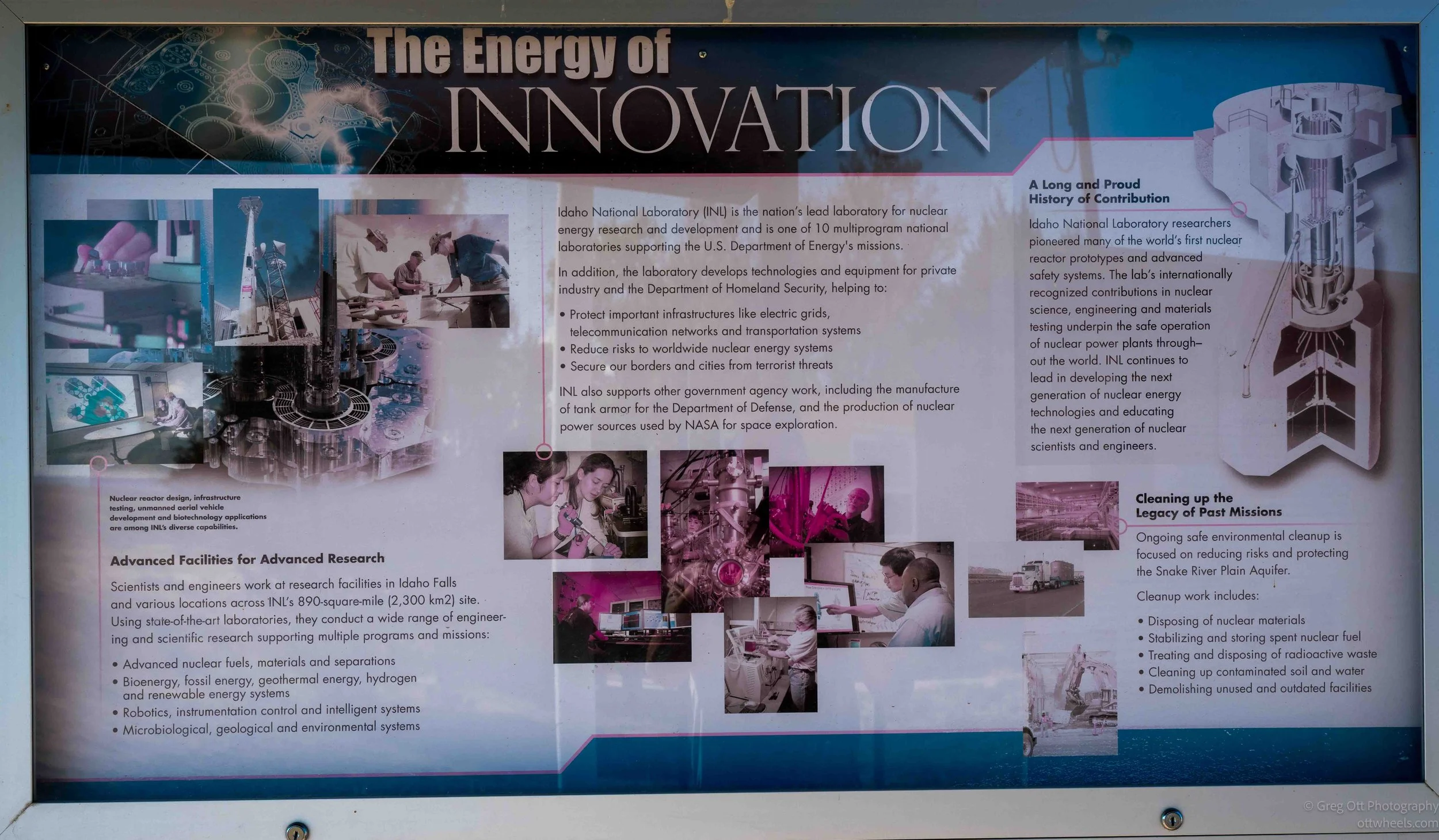
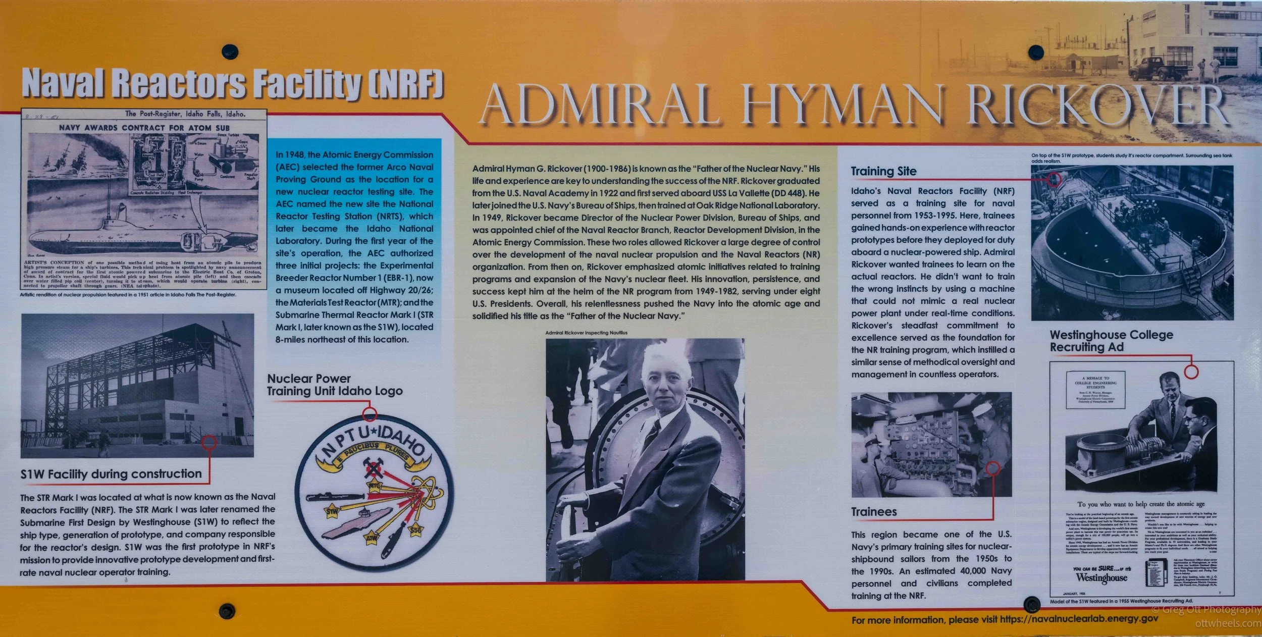
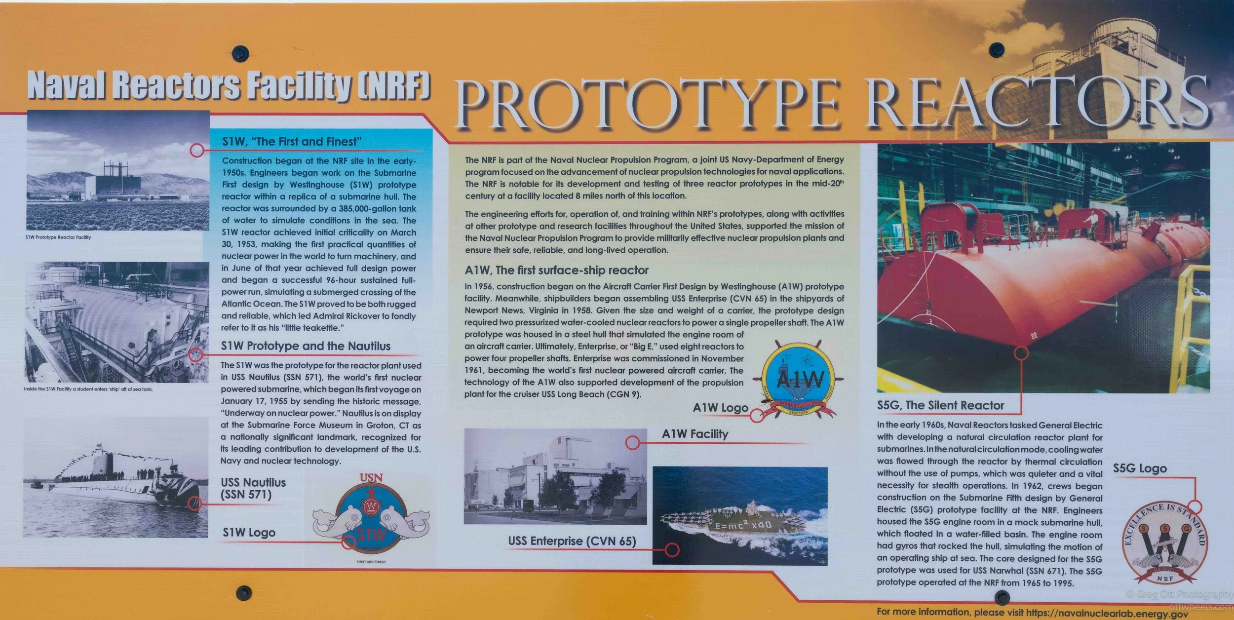
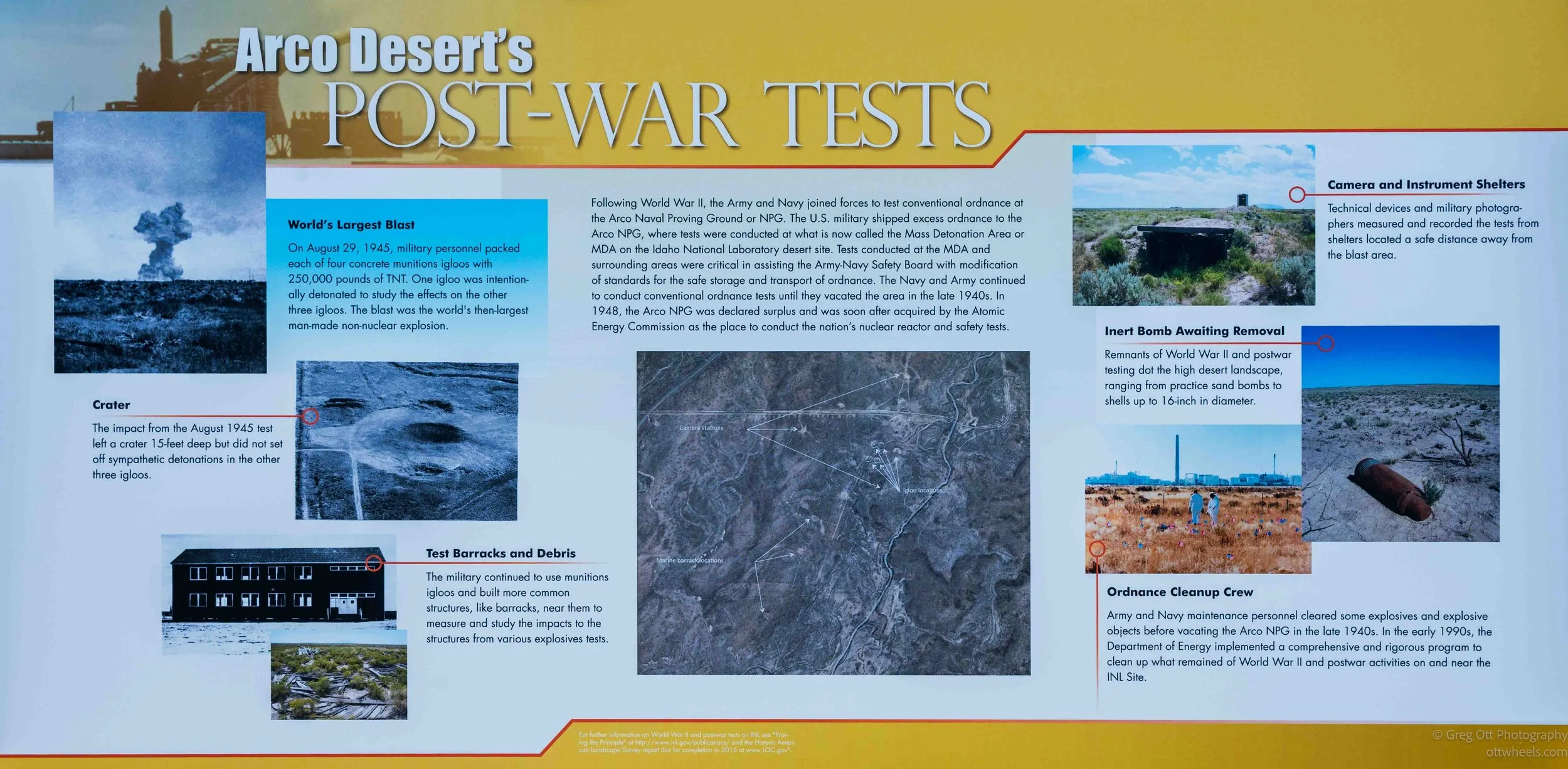
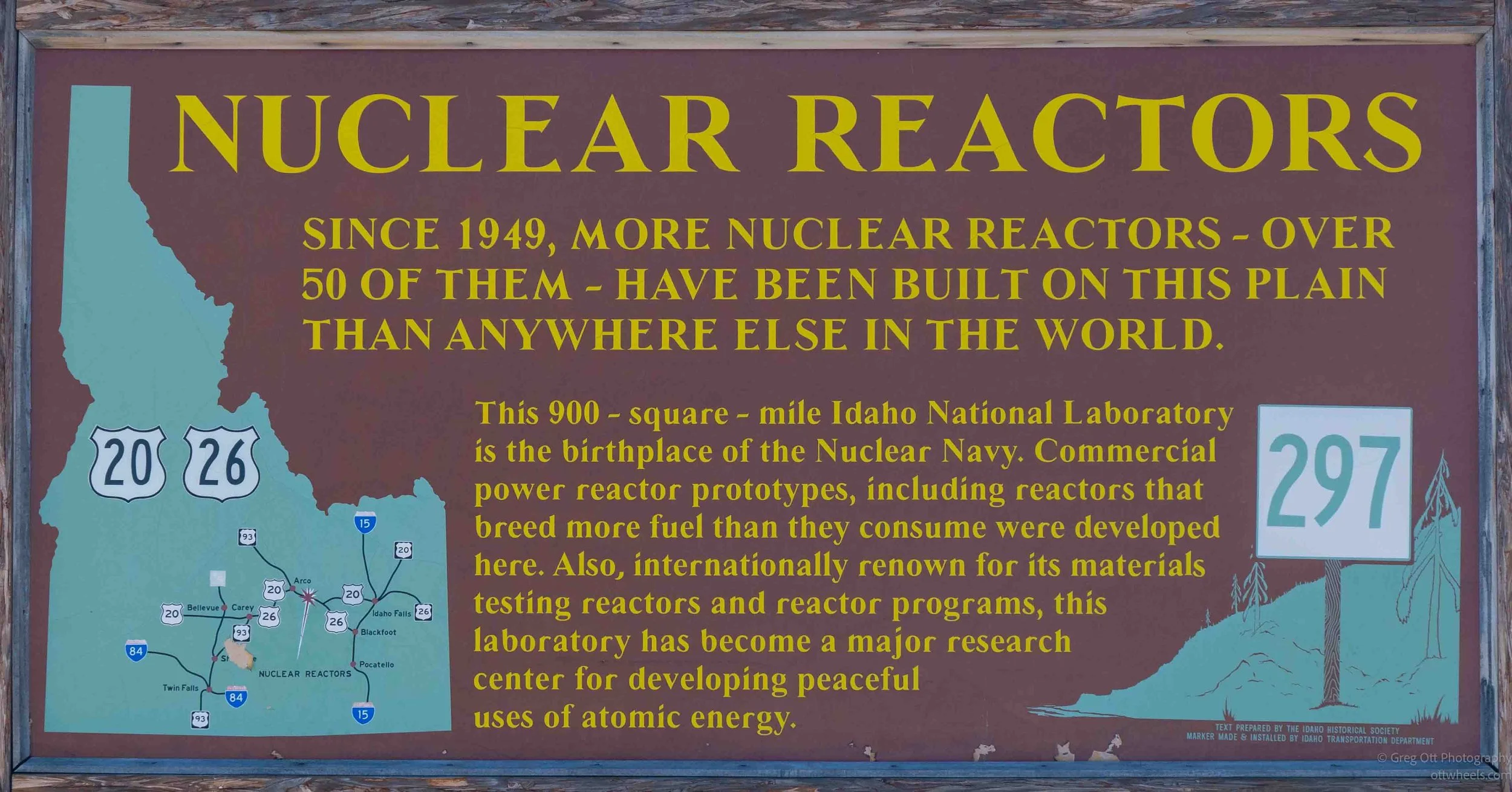
The history then jumped rather dramatically into the twentieth century. During World War II, the Navy used this area as the Arco Naval Proving Ground to test large-caliber guns and ammunition, while nearby bombing ranges were used by military aircraft. After the war, the site shifted toward nuclear research. Since 1949, more than 50 reactors have been built and operated on this plain, including experimental reactors that helped develop nuclear power and the reactors used to train generations of U.S. Navy submarine crews. The signs also covered Admiral Hyman Rickover and the work here that contributed to the nuclear propulsion systems eventually used in submarines such as the USS Nautilus and later aircraft carriers.
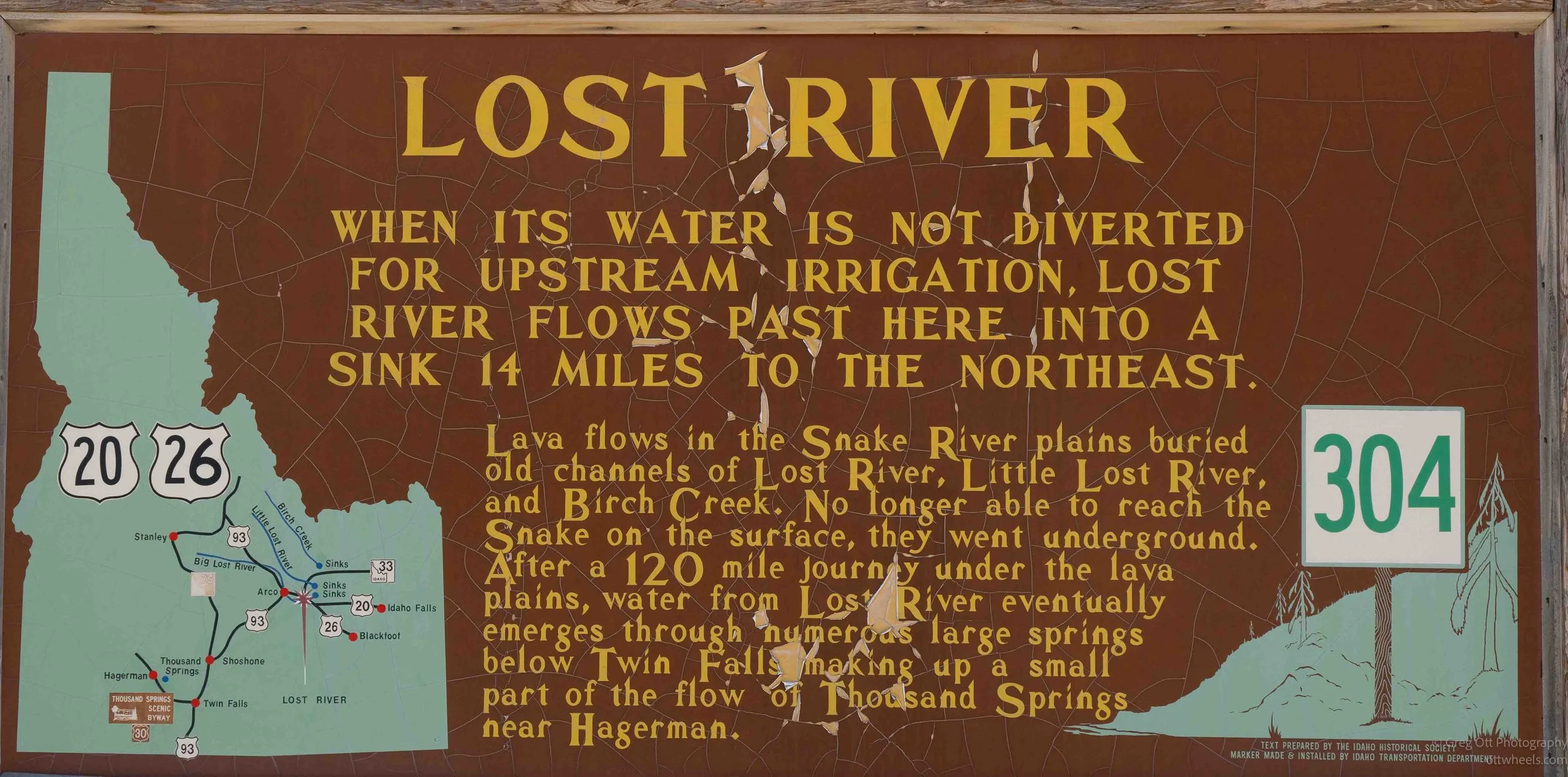
Even the landscape had a surprise. The Lost River flows out onto the Snake River Plain and then simply disappears into the ground, its old surface channels buried by lava flows. The water continues underground for roughly 120 miles before eventually emerging again through large springs near the Snake River. Between ancient travel routes, the Oregon Trail, bombing ranges, experimental nuclear reactors and a river that vanishes beneath the lava, what I had expected to be a quick rest stop turned into another fascinating half hour of reading.
Arco Idaho
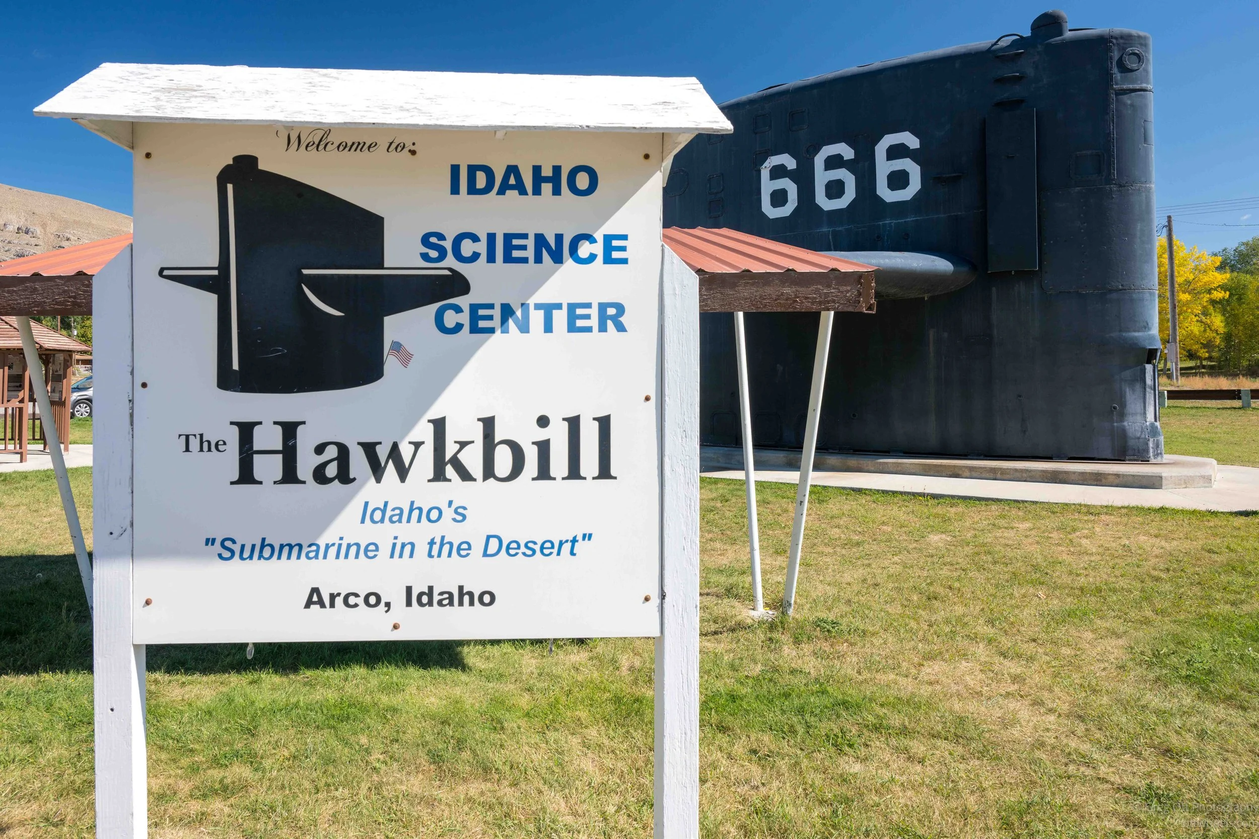
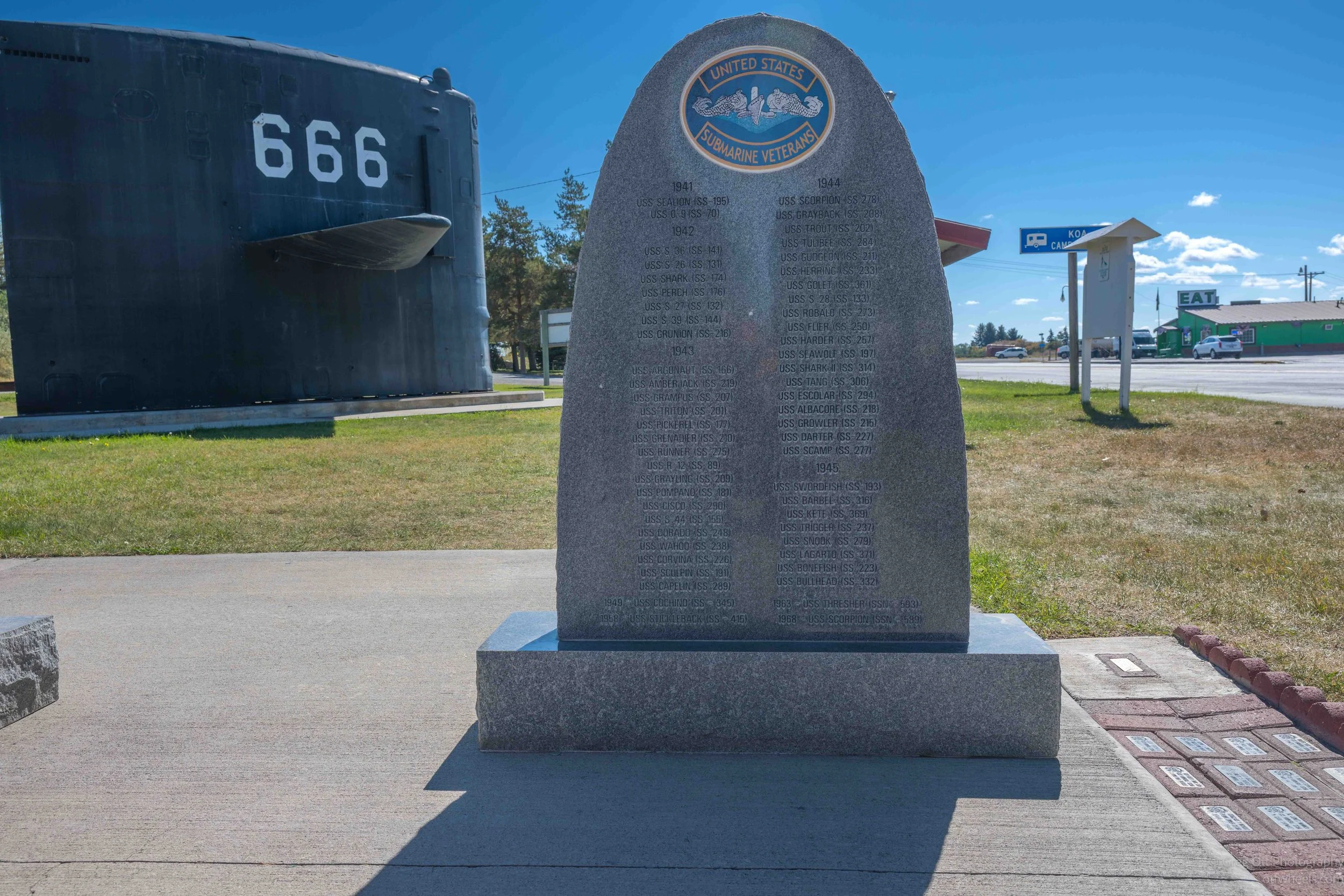
I made it to Arco and thought I was finally done stopping. Craters of the Moon was only about ten miles away, but as I entered town I saw what looked like the top of a submarine sitting in a park, with a huge 666 painted on the side. Technically, it is the submarine’s sail—the tower-like structure that rises above the hull—not a turret. A nuclear submarine sail marked 666 sitting in the middle of the Idaho desert was enough to get me to pull over again.
The sail came from the USS Hawkbill (SSN-666), a Sturgeon-class nuclear attack submarine commissioned in 1971 and decommissioned in 2000. With the hull number 666, the crew embraced the obvious connection to the biblical “number of the beast,” and the submarine became known as The Devil Boat. One of the displays even quotes Revelation 13:18. The Hawkbill’s emblem carried a cartoon fish with a pitchfork, and the connection became part of the submarine’s identity rather than something the crew tried to avoid.
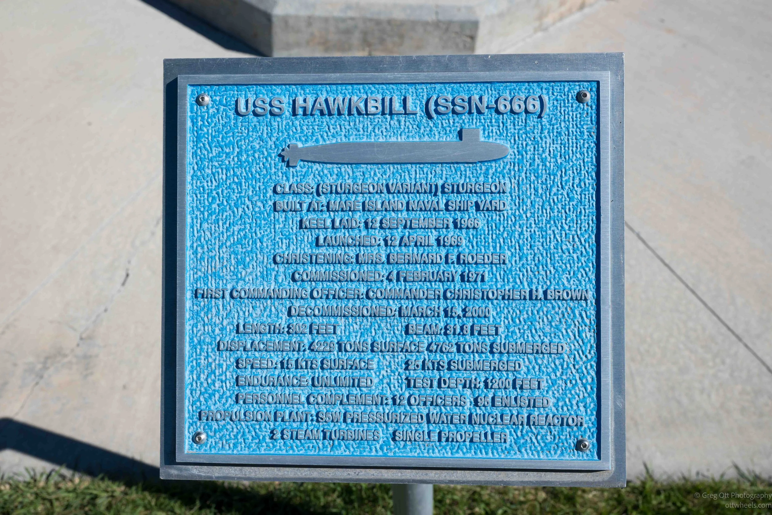
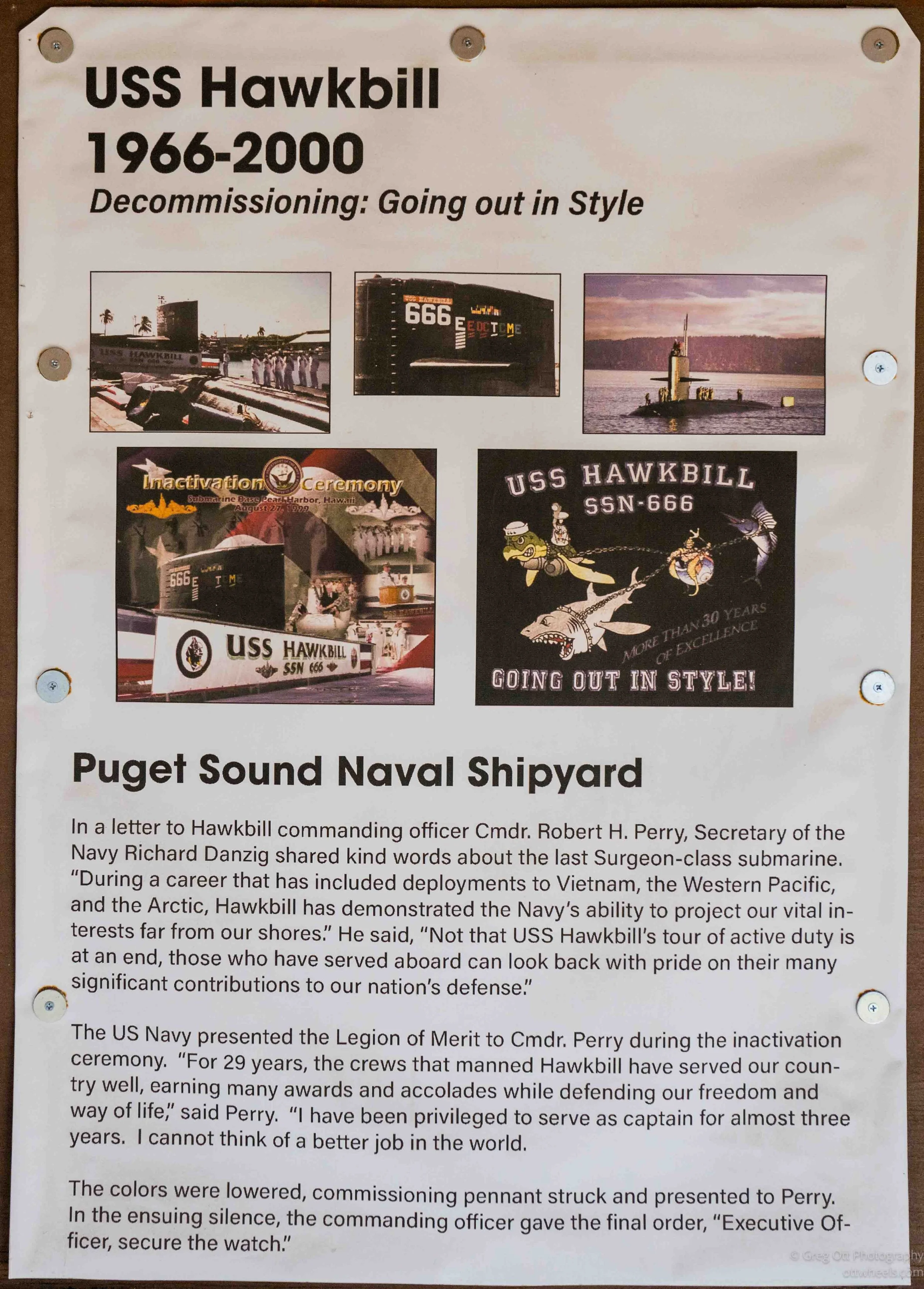
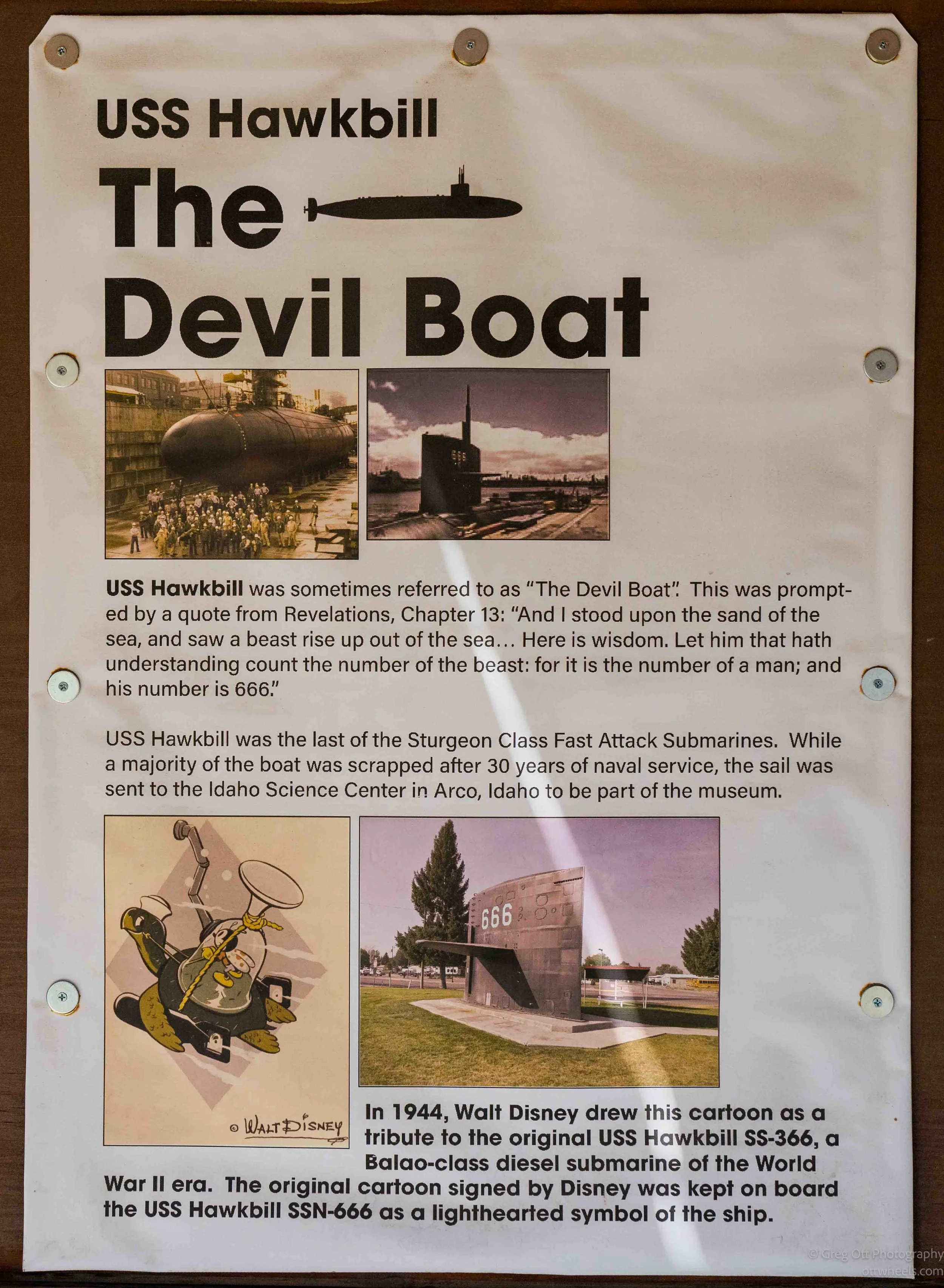
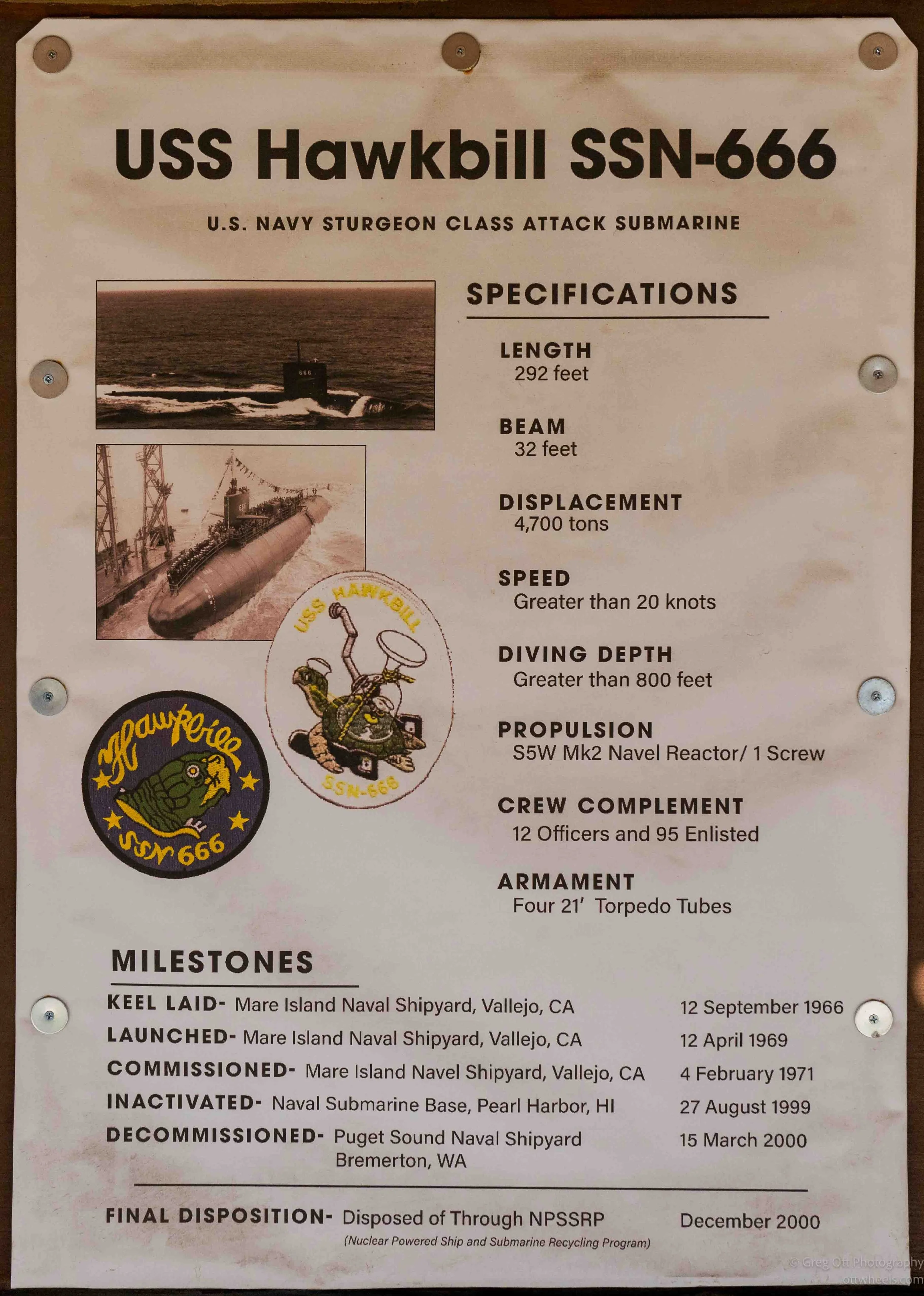
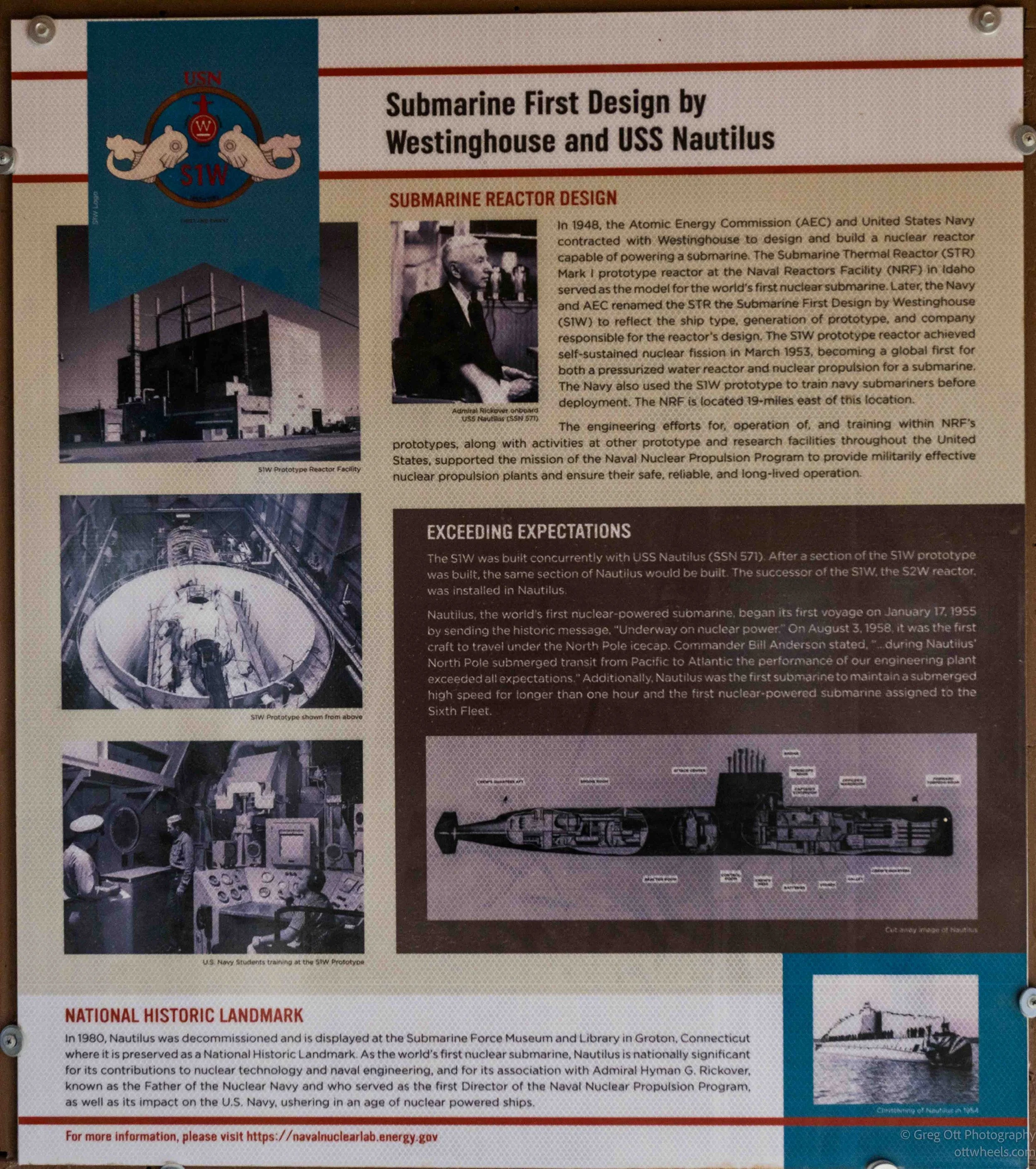
The Hawkbill had a long career, including Arctic operations. In May 1986 it surfaced at the North Pole with two other submarines, and later took part in the Navy’s SCICEX program, which used nuclear submarines to carry civilian scientists beneath the Arctic ice to collect information on geology, physics, chemistry and biology. When the Hawkbill was dismantled, its sail was brought to Arco and preserved here, which makes considerably more sense once you understand the area’s long connection with the Navy’s nuclear program.
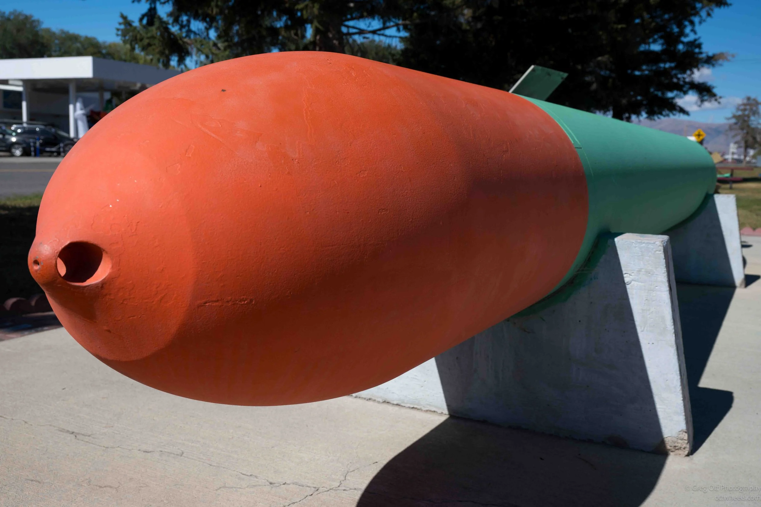
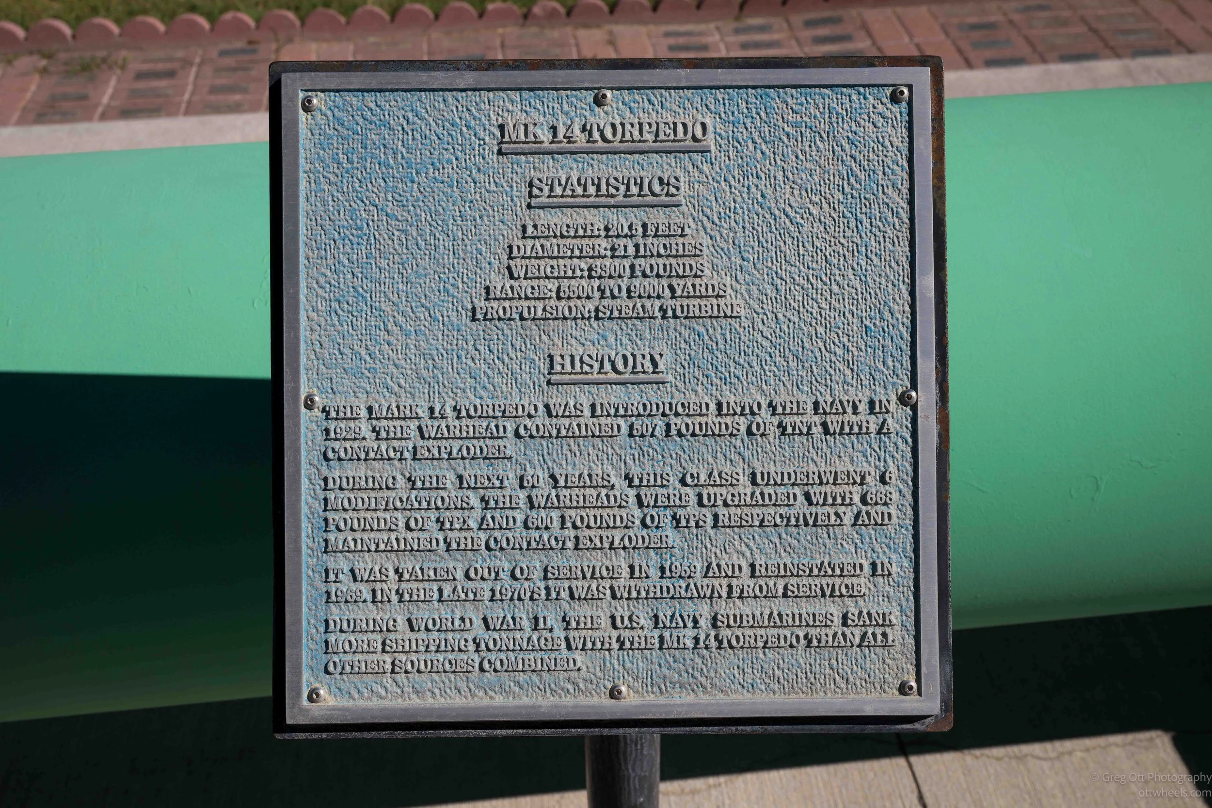
The little park turned out to have quite a bit more than the sail. There were displays on the development of the reactors that powered the USS Nautilus, later aircraft carriers such as the USS Enterprise, and other naval reactor prototypes tested at the nearby Naval Reactors Facility.
Arco Number Hill
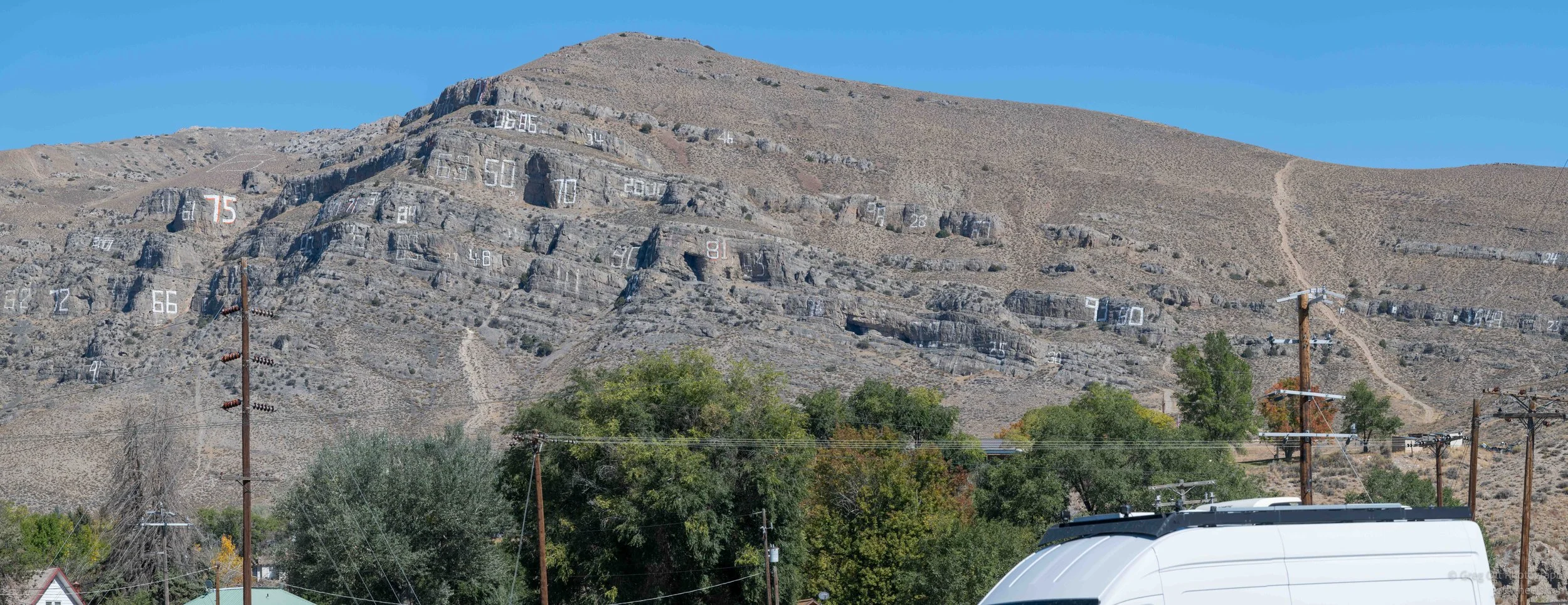
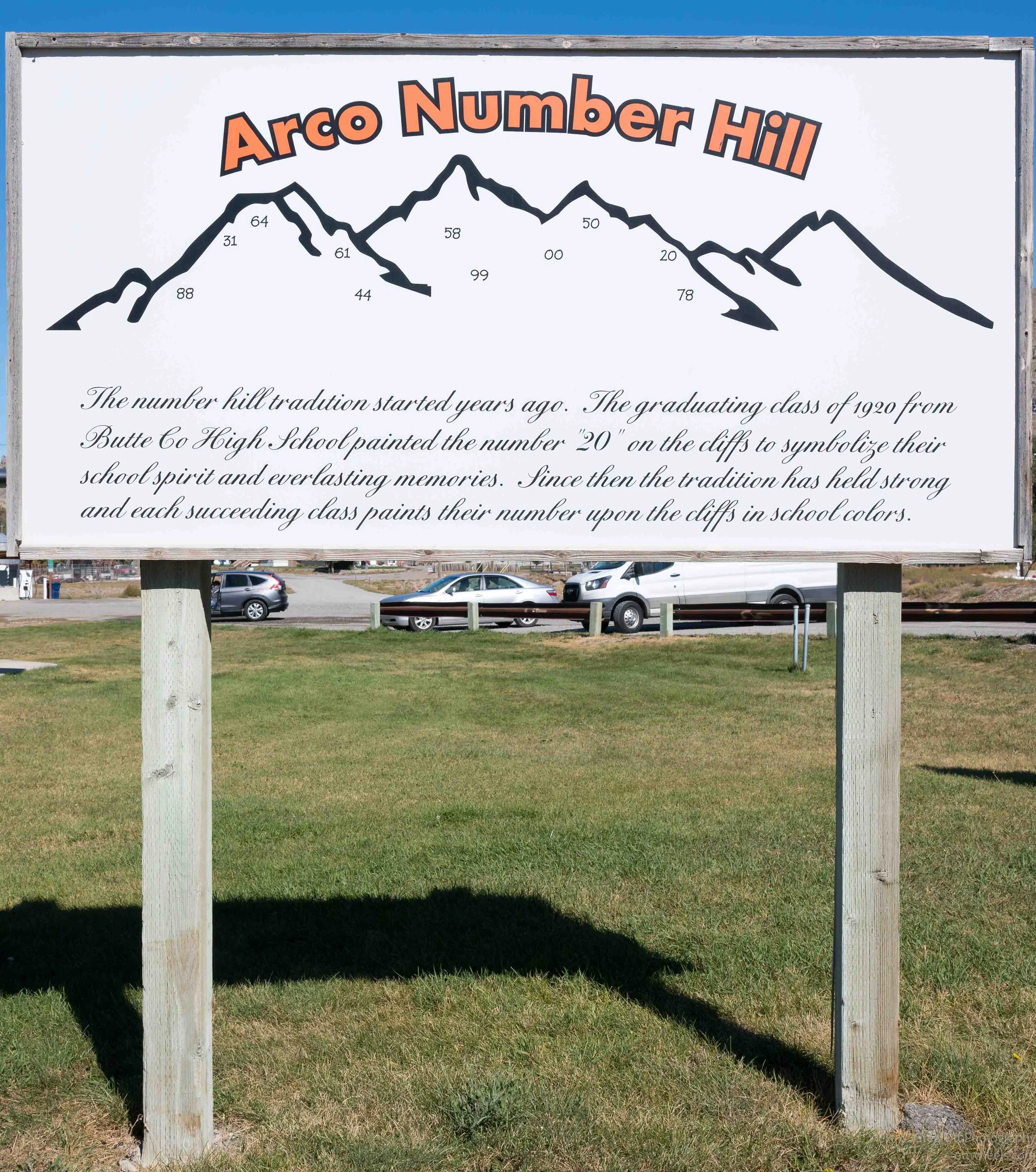
Behind all of it was another wonderfully odd Arco landmark: the mountainside covered with giant painted graduating-class numbers, a tradition that began with the high school class of 1920. I had been trying to get to Craters of the Moon all morning, but Idaho kept putting things beside the road that were too strange and interesting to drive past.
Crater of the Moon National Monument
I finally arrived in Crater of the Moon National Monument and Preserve early afternoon and stopped at the visitor center. The ranger made some suggestions for where to go for the best photographs and gave me a map. She told me they have camping across the street and I would need to check at the entrance gate. I bought a guide to the park which was marked down from $13 to $3. I later heard that the store is going out of business. So many of the concessions are outsourced at the National Parks. At the gate, I book a campsite. I showed the ranger my parks pass and asked how much it would be. She said, “It’s not going to break the bank. It’s $7.50 for the night with your pass.”
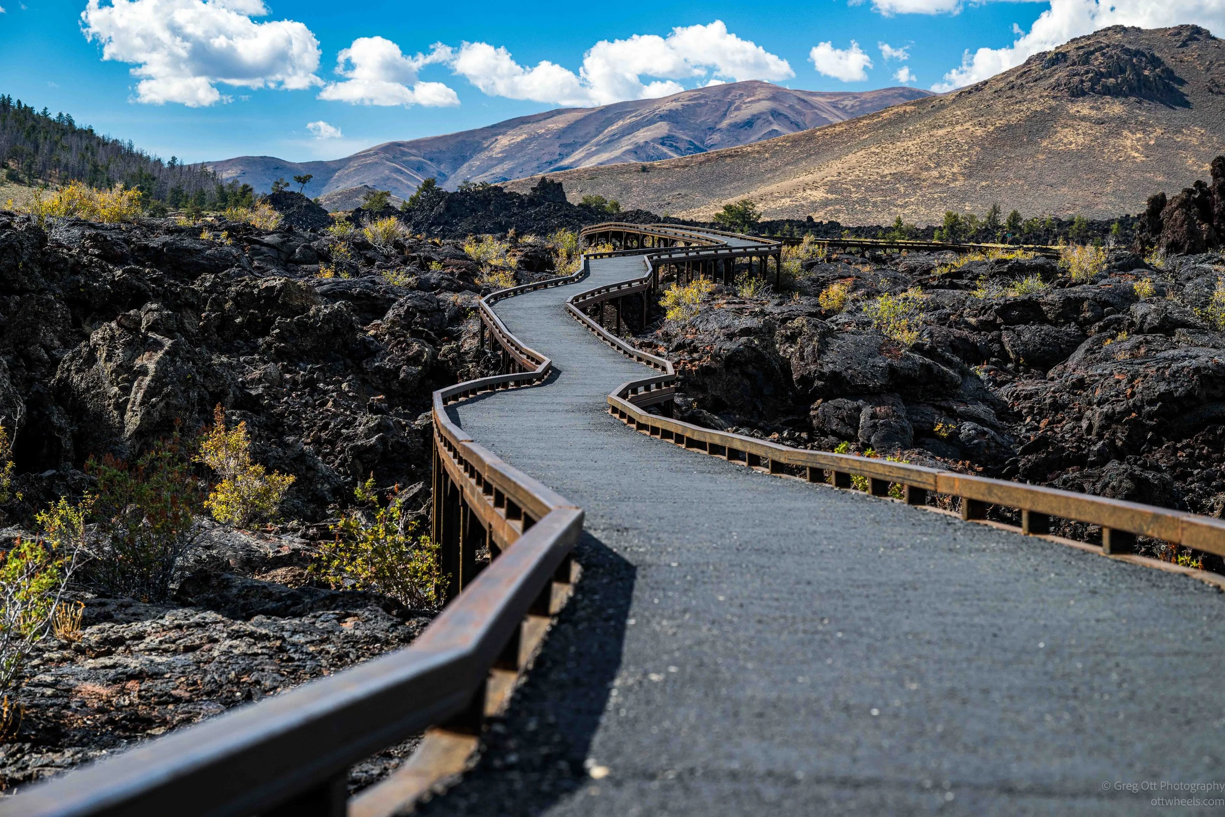
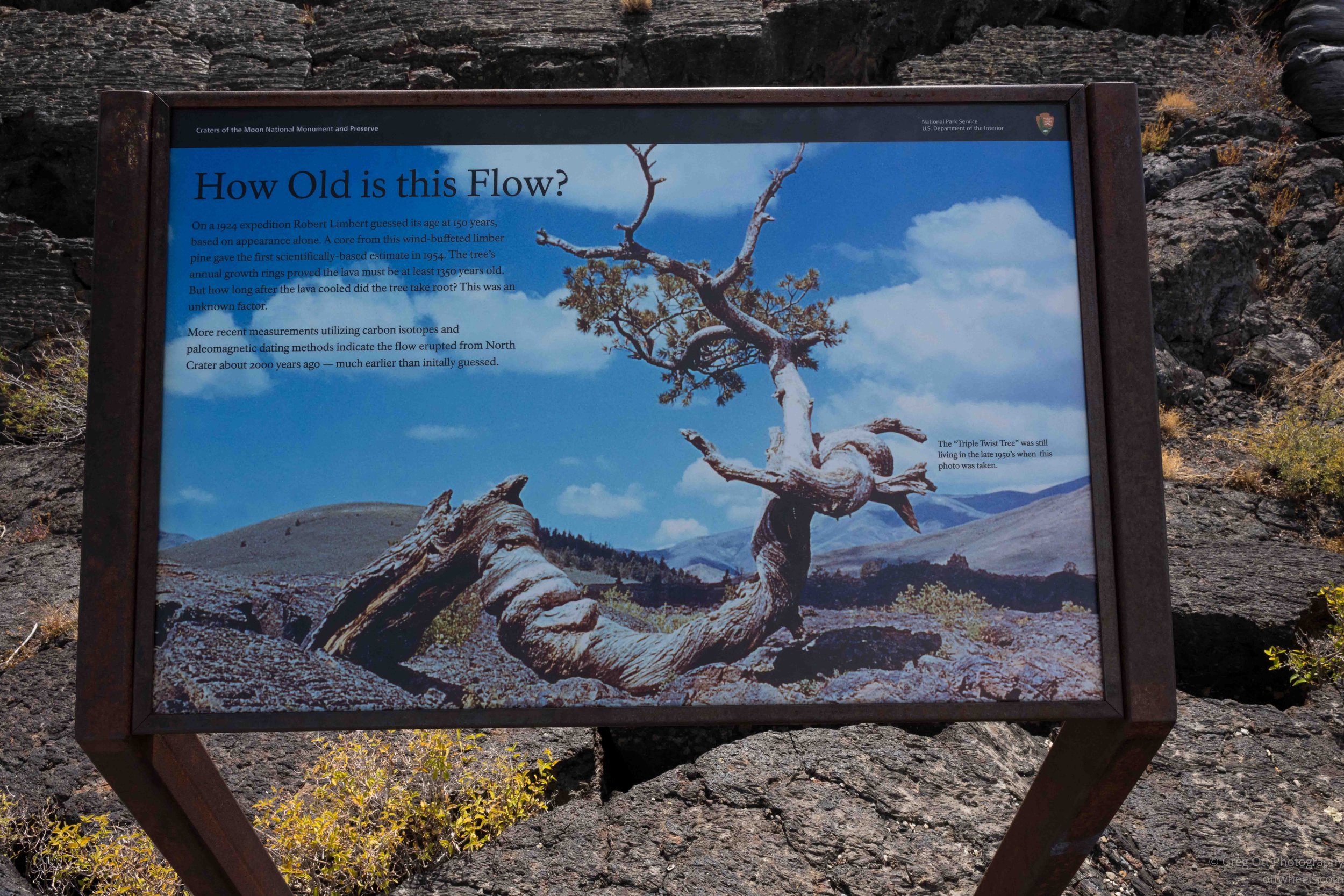
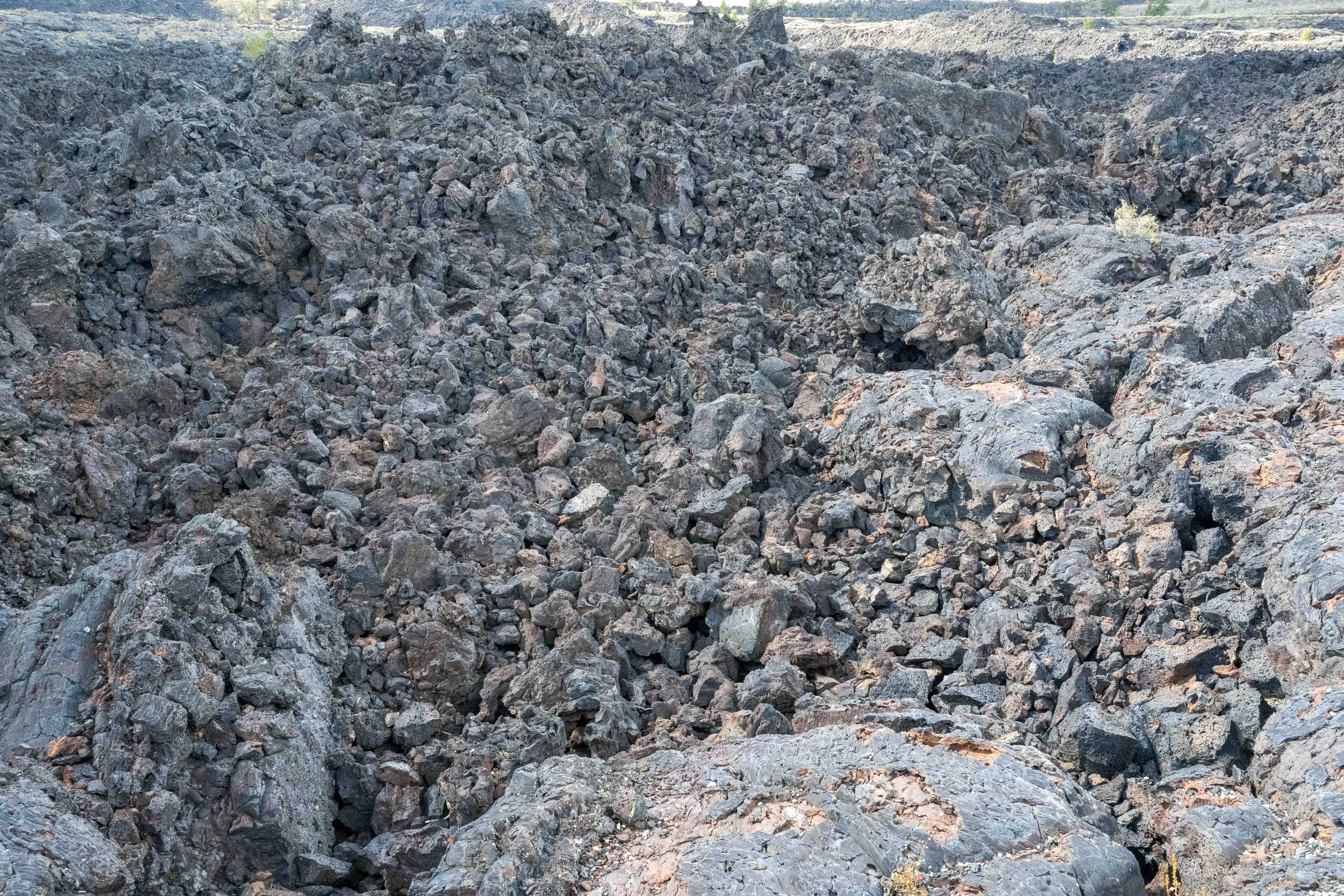
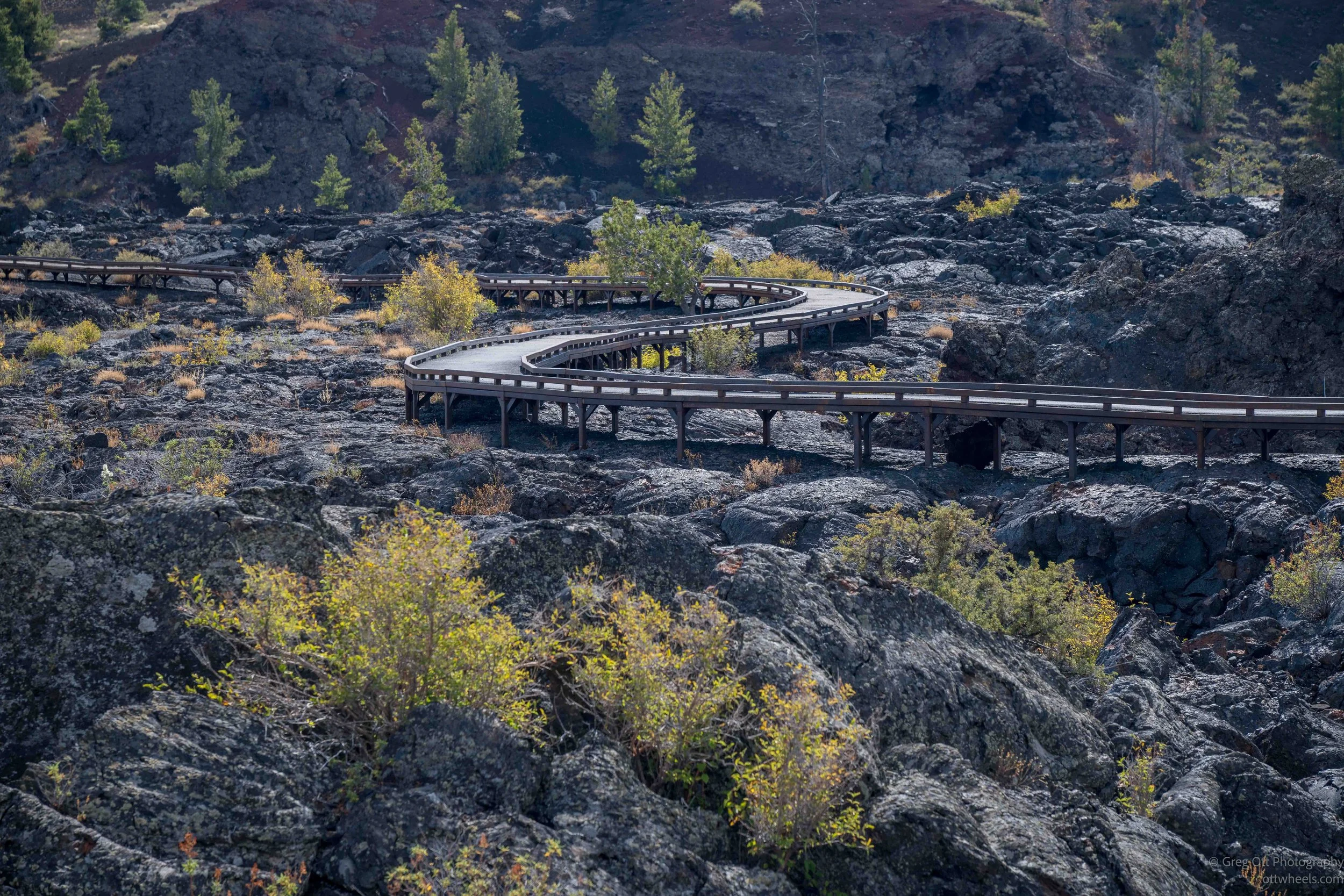
After finding my camp sight, and drove to Devils Orchard Nature Trail. I walked the short loop through one of the stranger sections of Craters of the Moon. A raised walkway winds through broken lava with chunks of old cinder cones standing upright like pieces of ruined buildings. Some of them were actually torn from the walls of nearby cones and carried along by moving lava before being left where they are today. The signs along the trail explained the different forms of lava, including the rough, jagged ‘a‘ā lava and places where pressure beneath a hardened surface buckled the crust or squeezed molten lava up through cracks. Seeing the photographs on the signs helped make sense of what I was looking at, because without them it would have been easy to see it all as just another field of black rock.
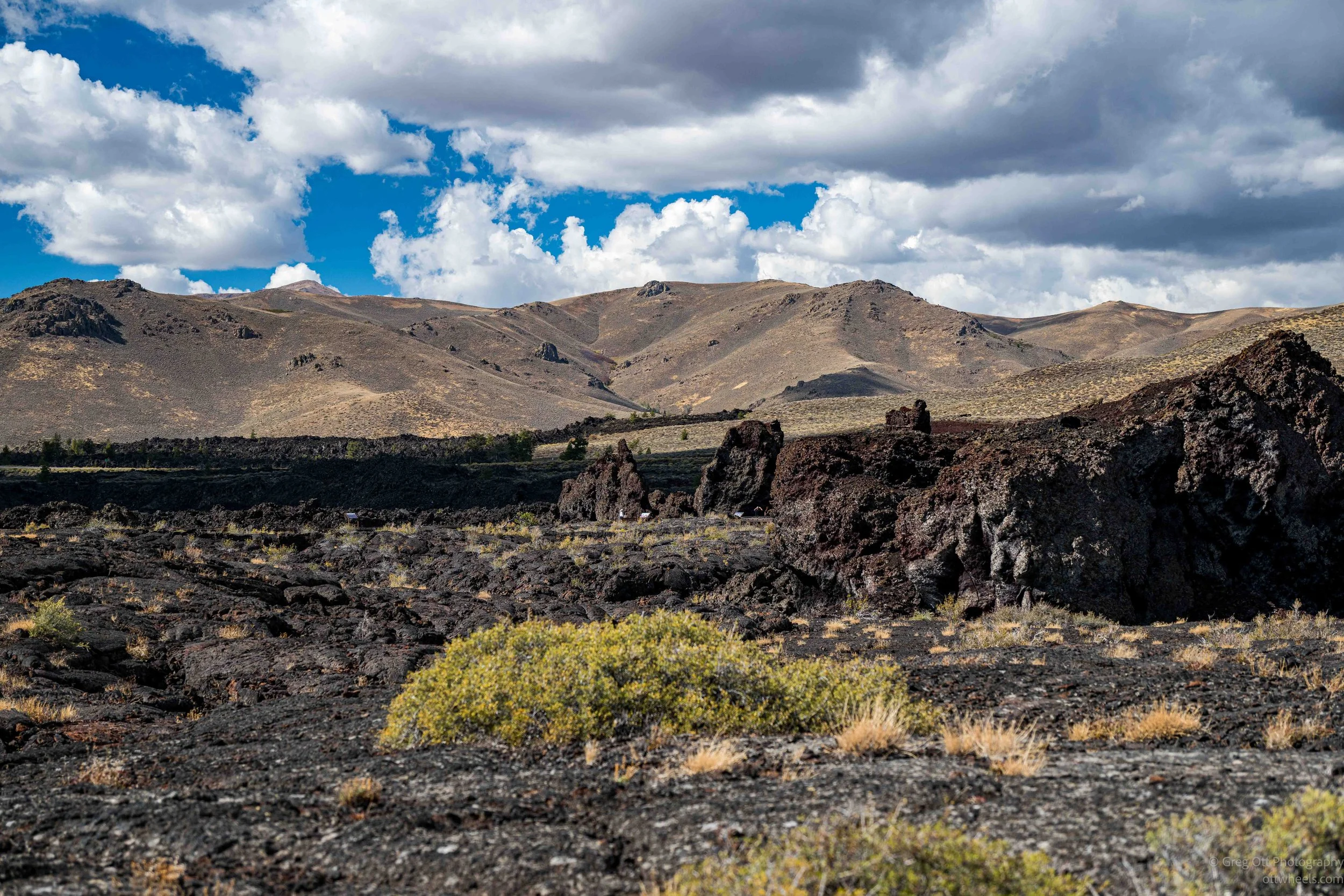
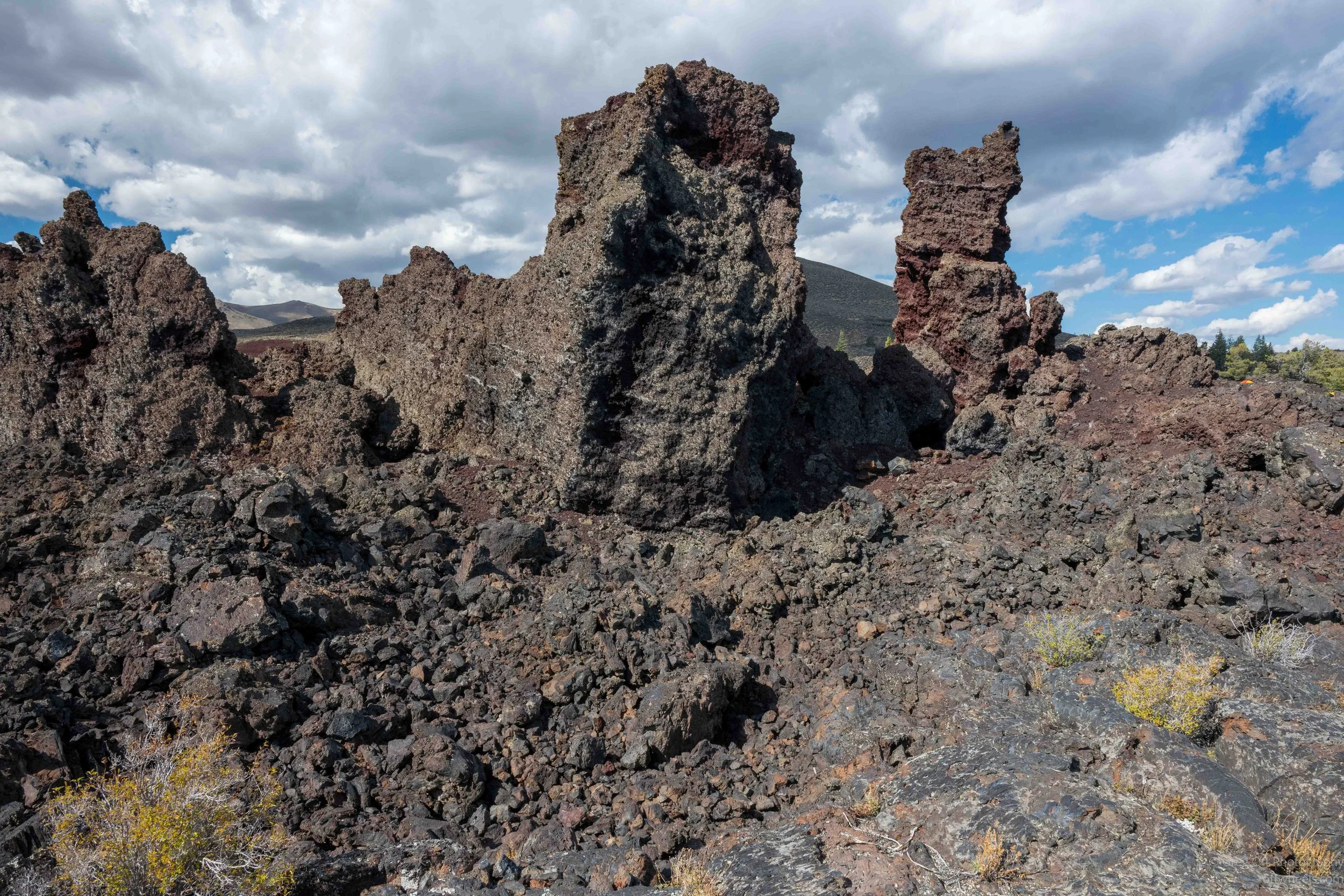
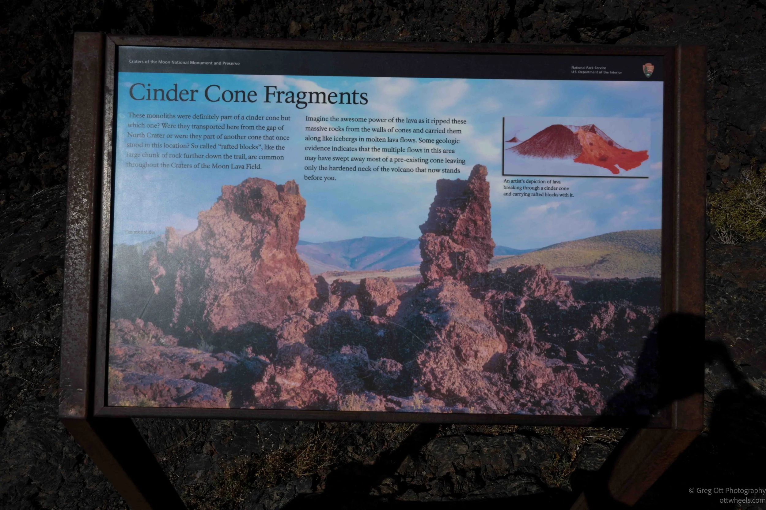
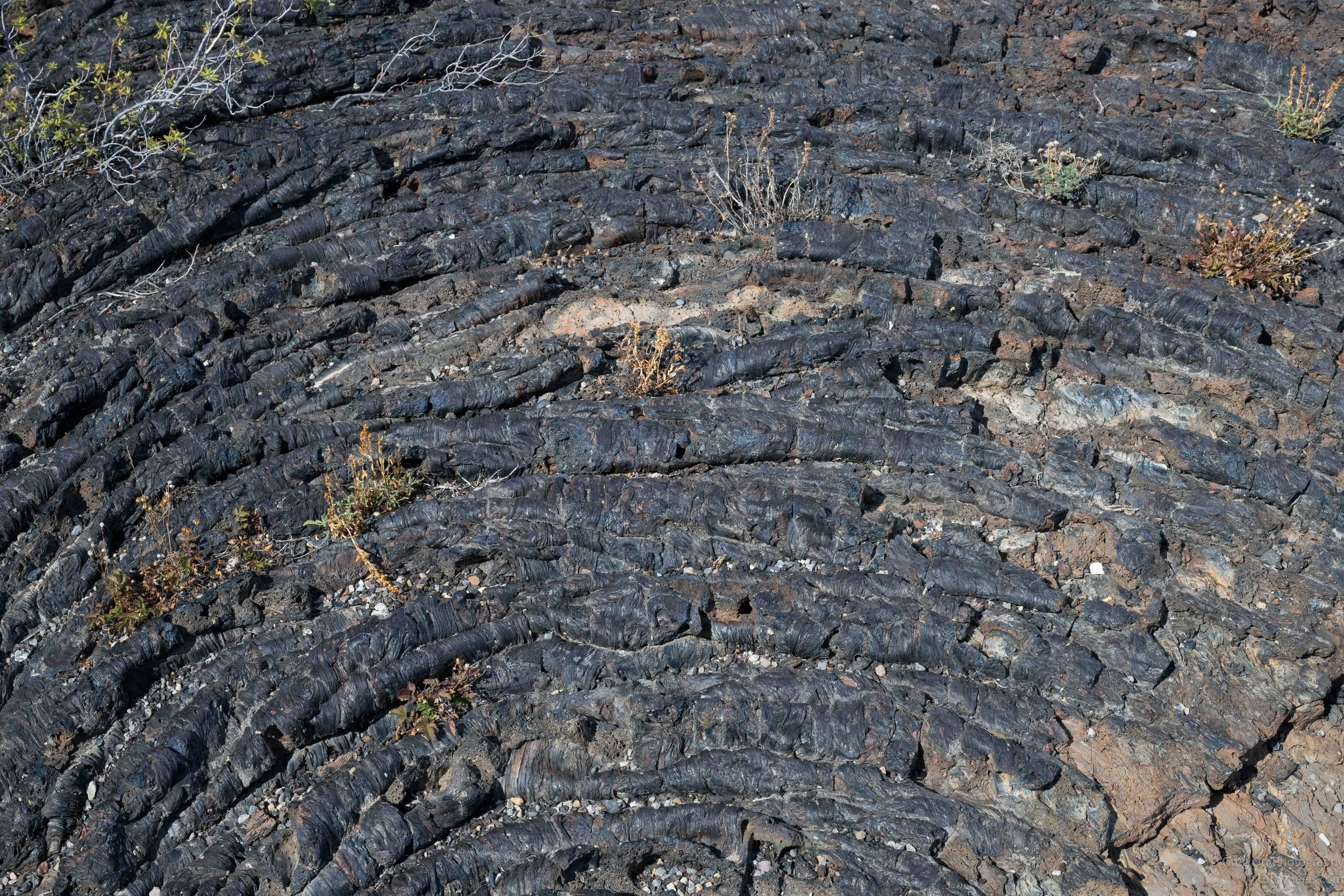
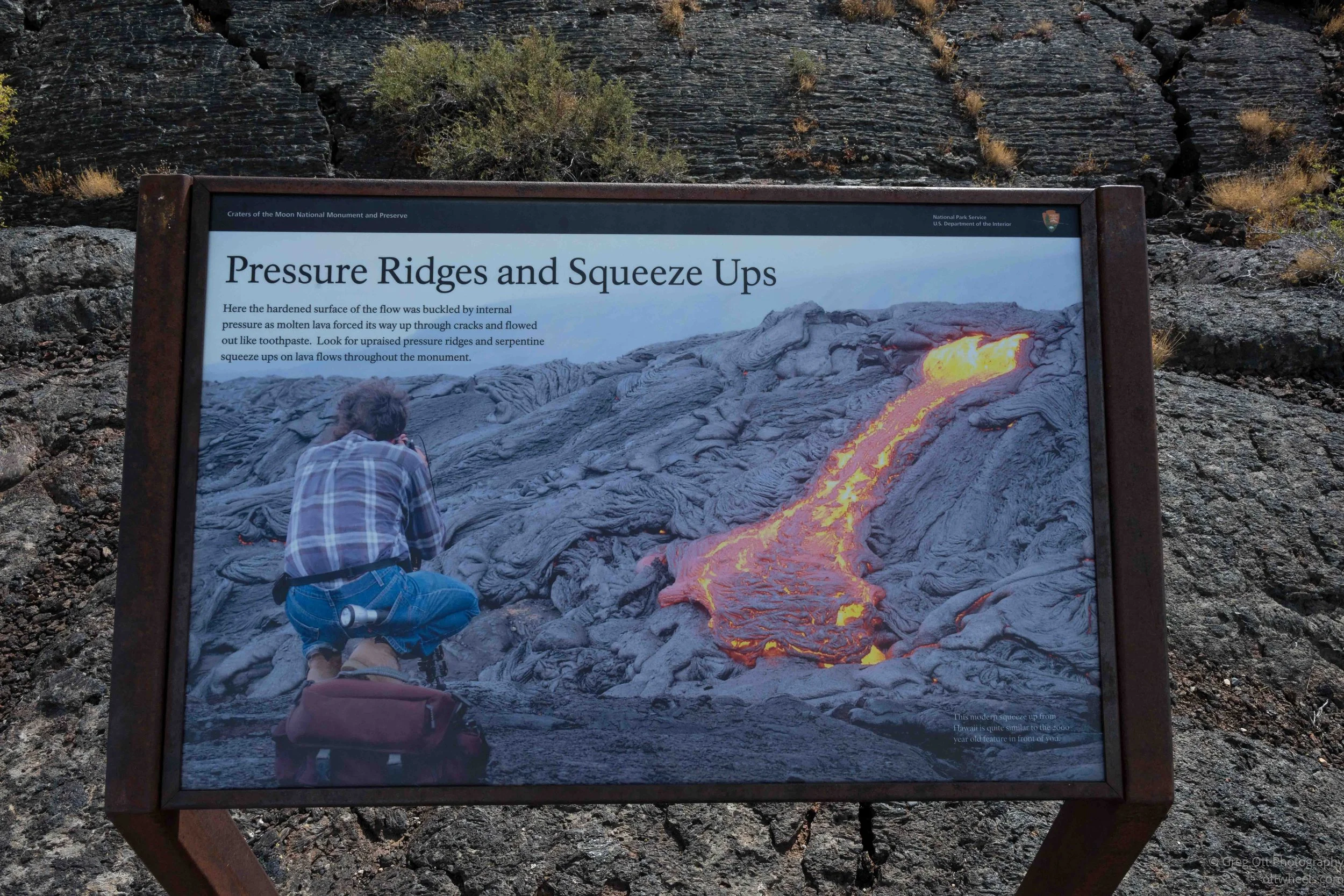
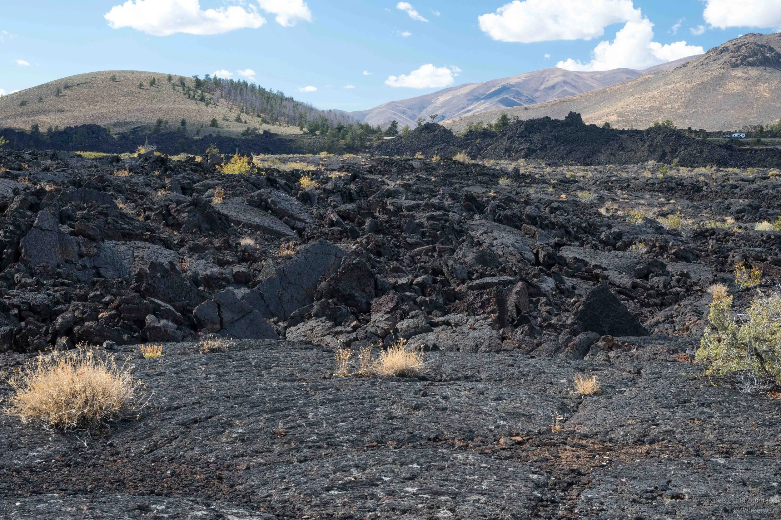
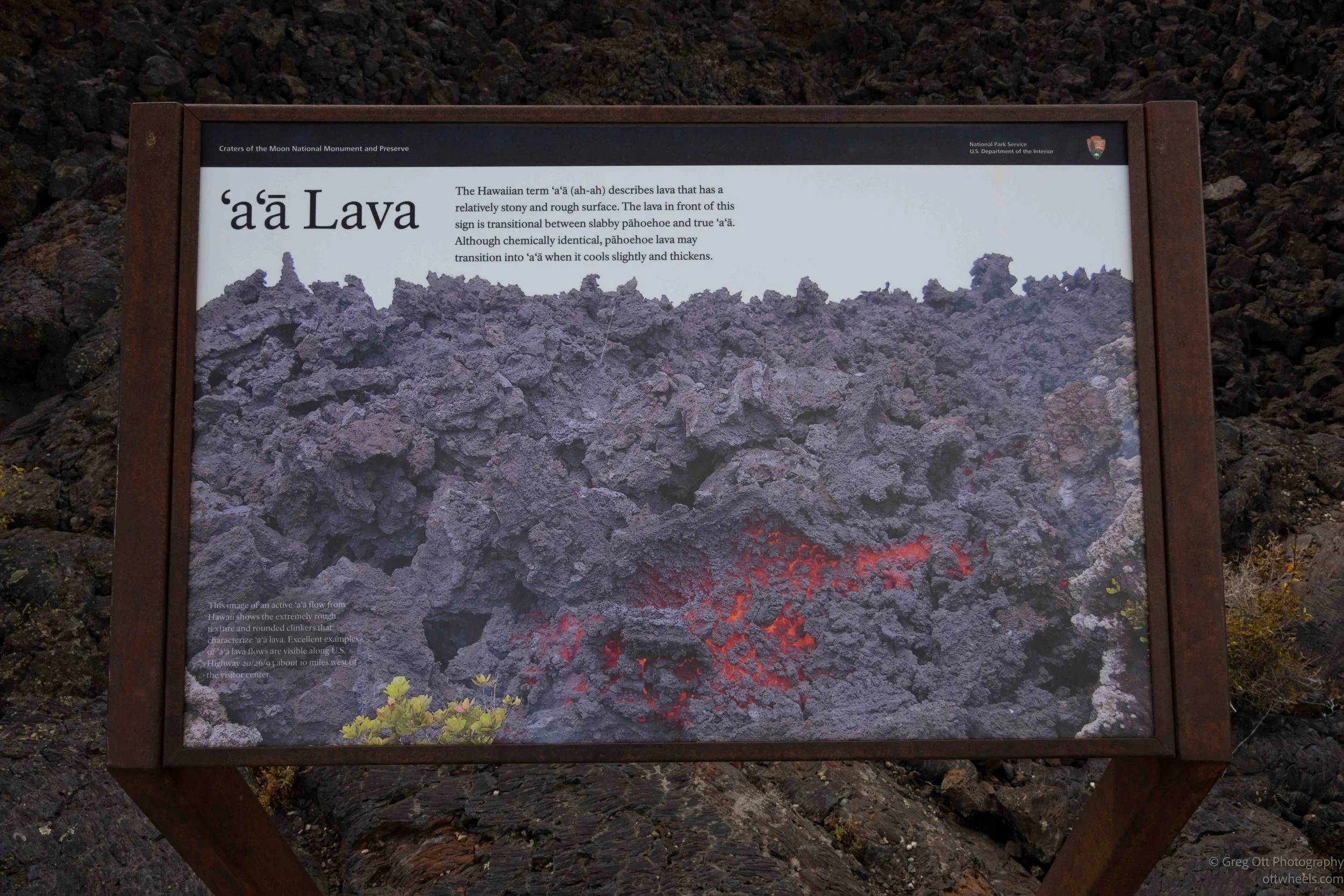
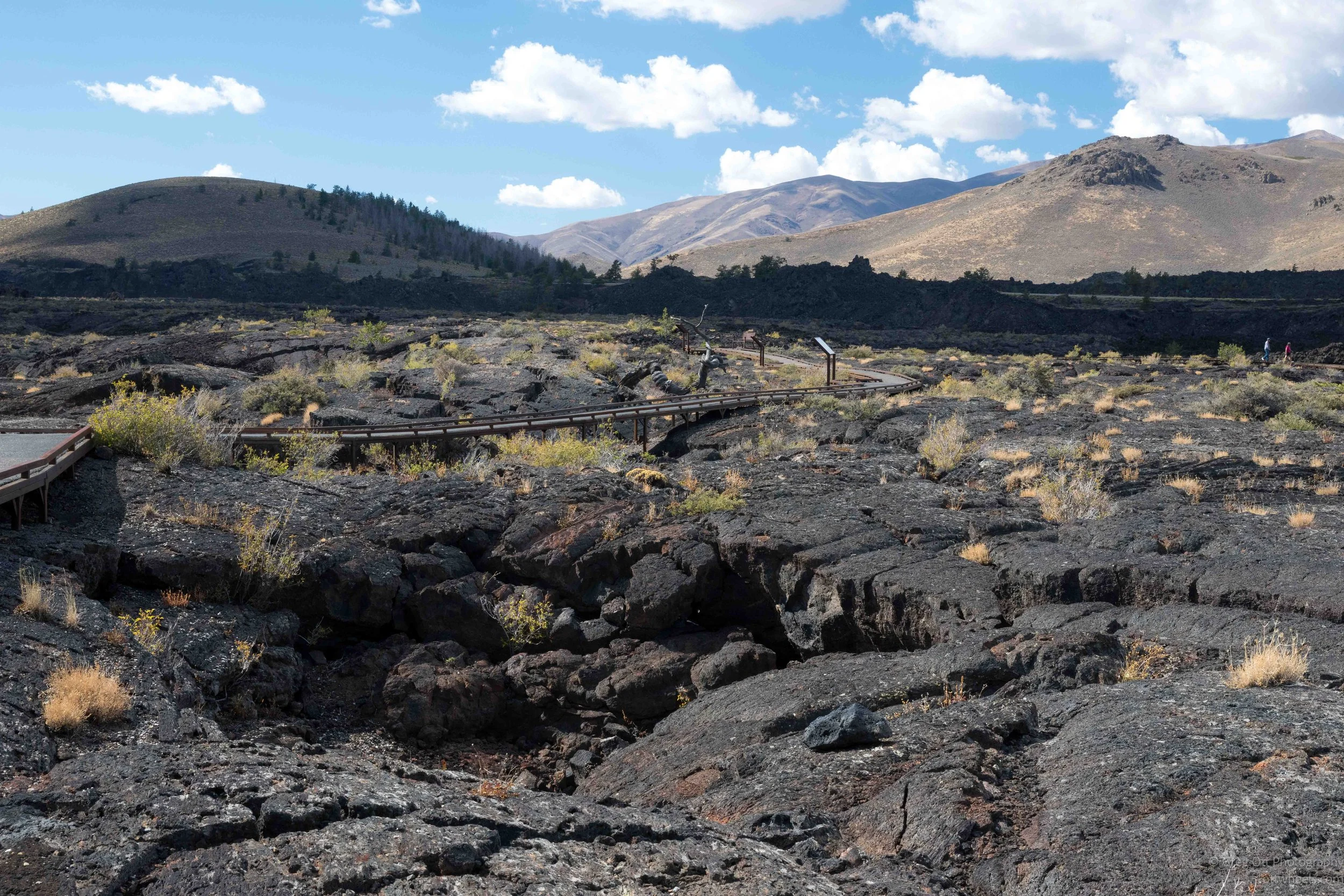
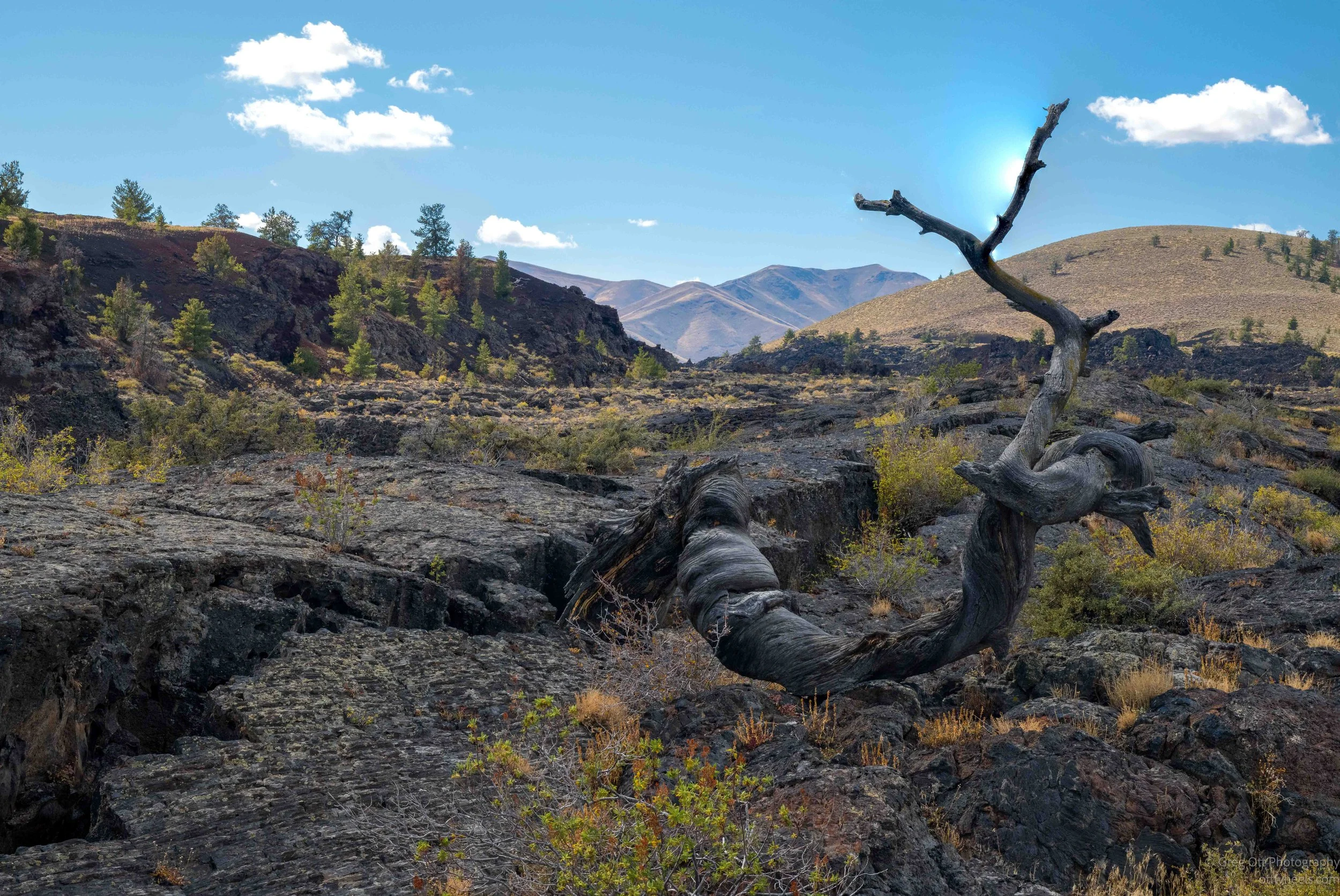
One of the things that caught my attention was an old twisted tree lying across the lava. A photograph on the nearby sign showed the same tree when it was still alive in the late 1950s. Scientists once used its growth rings to estimate the age of the flow, but later dating showed that the North Crater flow erupted roughly 2,000 years ago. The farther I walked, the more detail I began to notice—the rope-like folds in the hardened lava, deep cracks where the surface had pulled apart, isolated plants finding places to grow, and the brown hills rising behind all that black rock. From a distance the lava field can look almost flat and uniform. Walking through it, it was anything but.
Inferno Cone
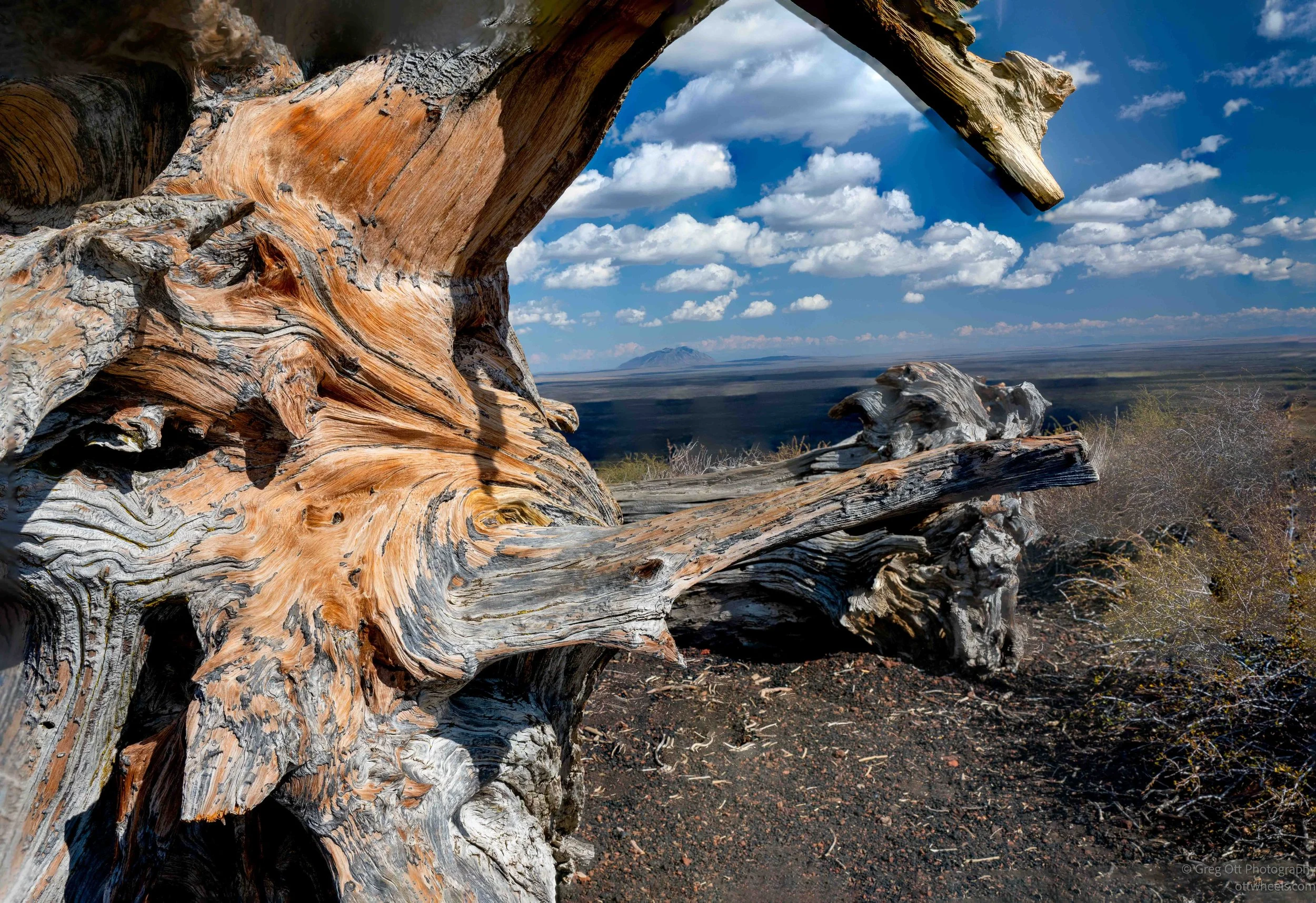
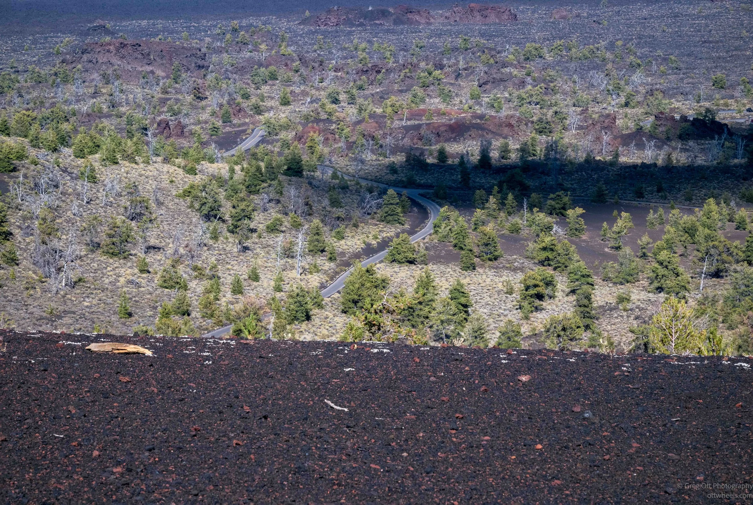
From there I drove over to Inferno Cone, one of the stops along the loop road. The trail looked short, but it went almost straight up the side of the cinder cone. The loose black cinders made the climb feel steeper than it first appeared, and I stopped a few times to look back at the road dropping away below me. Near the top, the landscape opened up quickly. What had looked fairly flat from the road suddenly became a mix of dark lava flows, cinder cones, scattered trees and distant mountains.
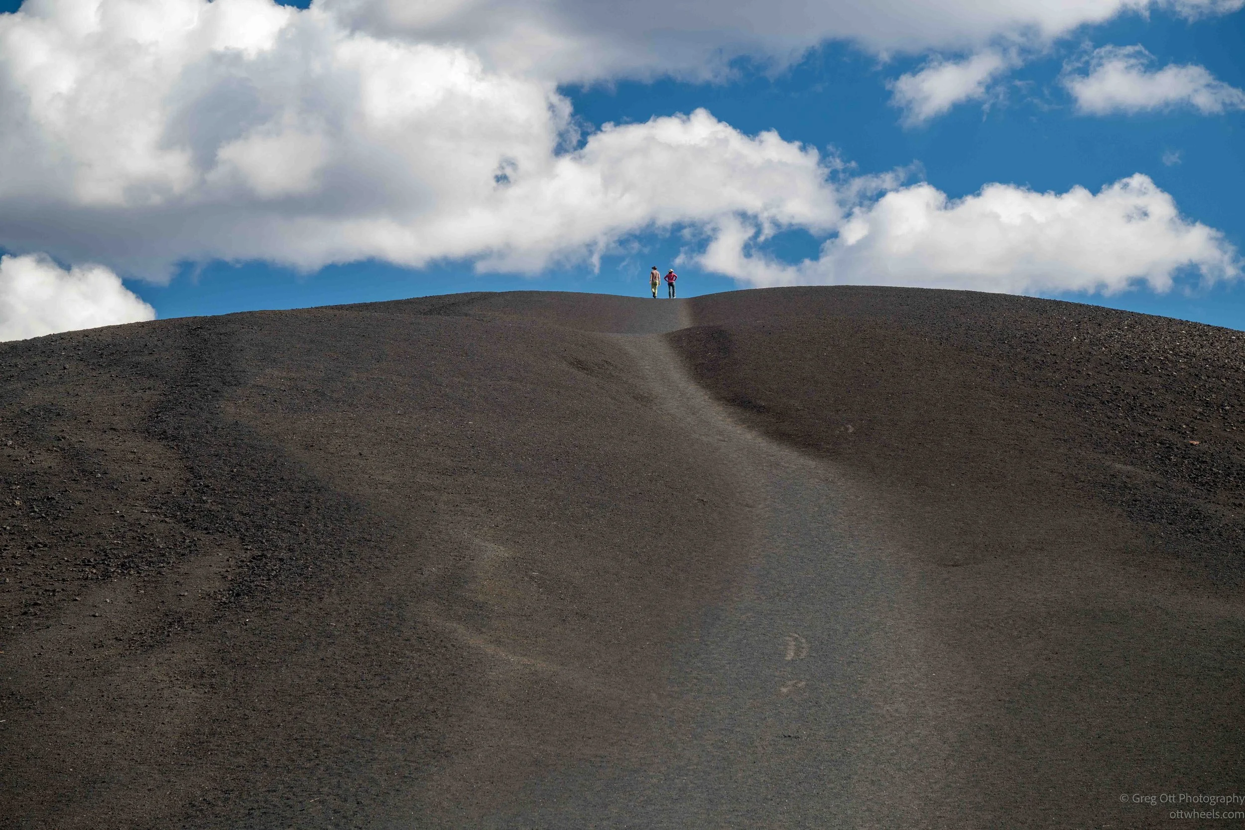
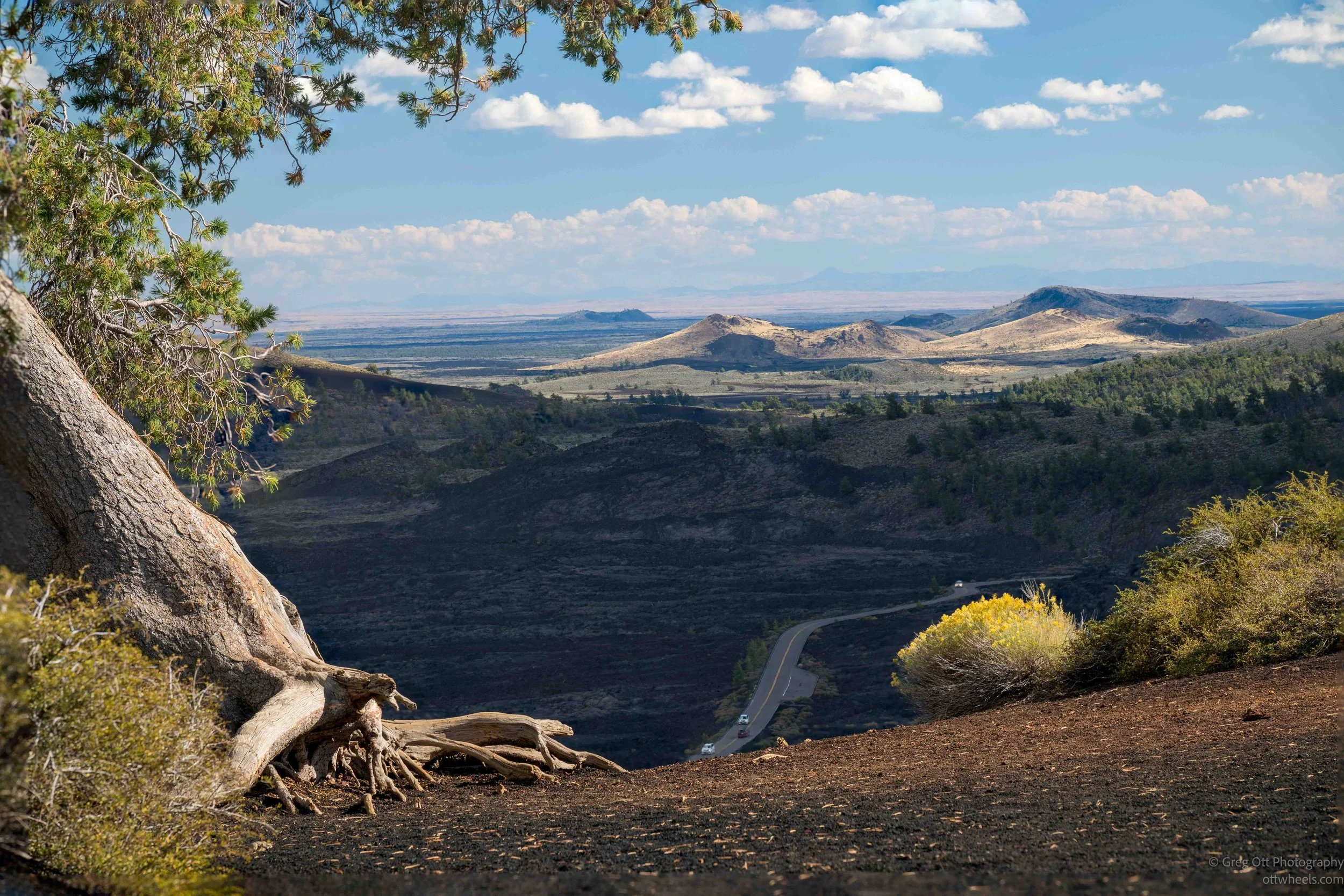
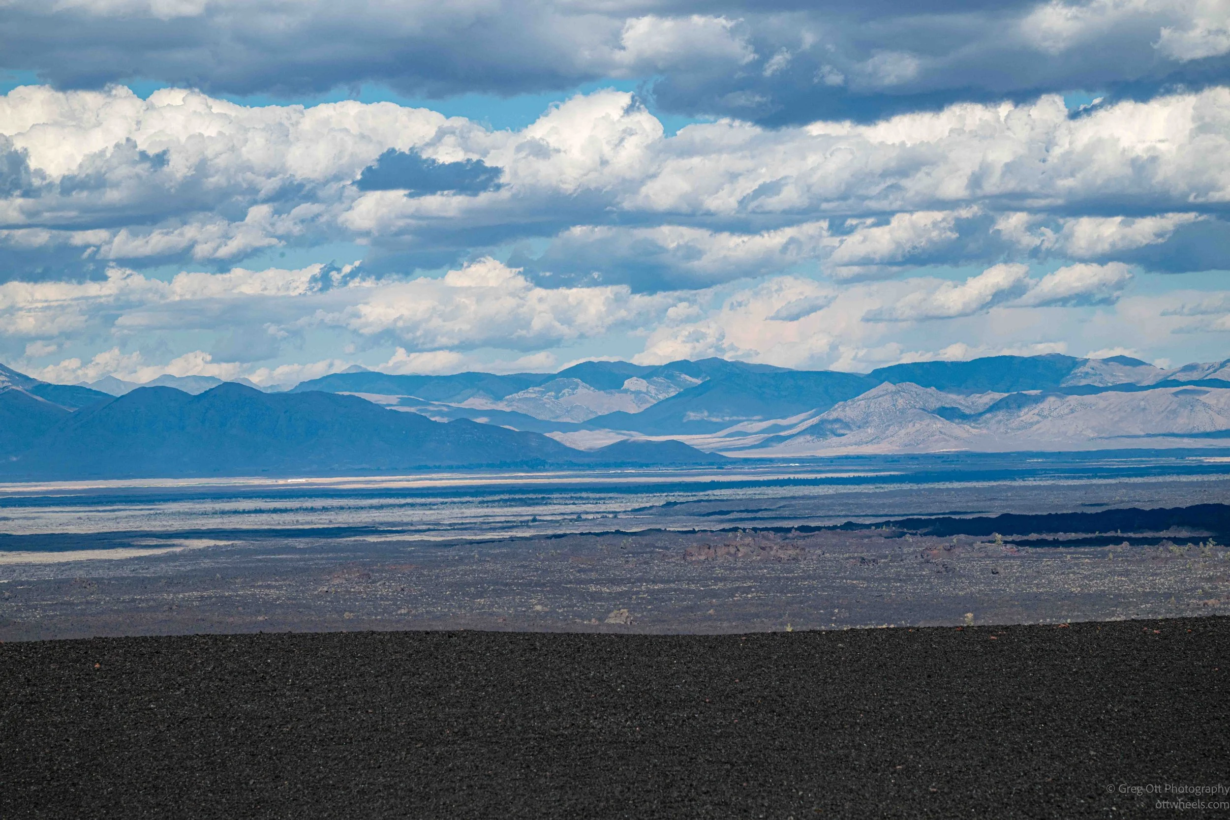
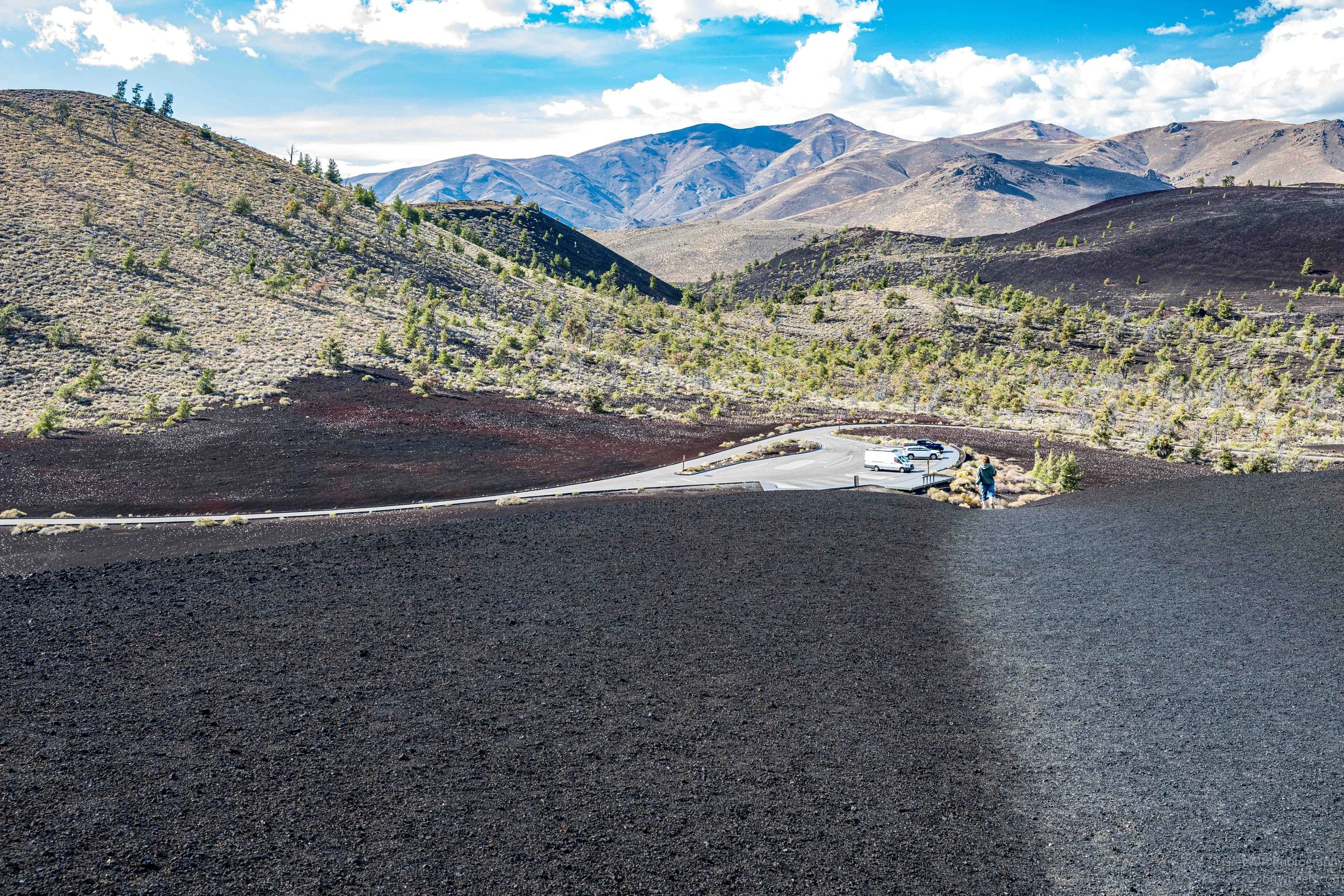
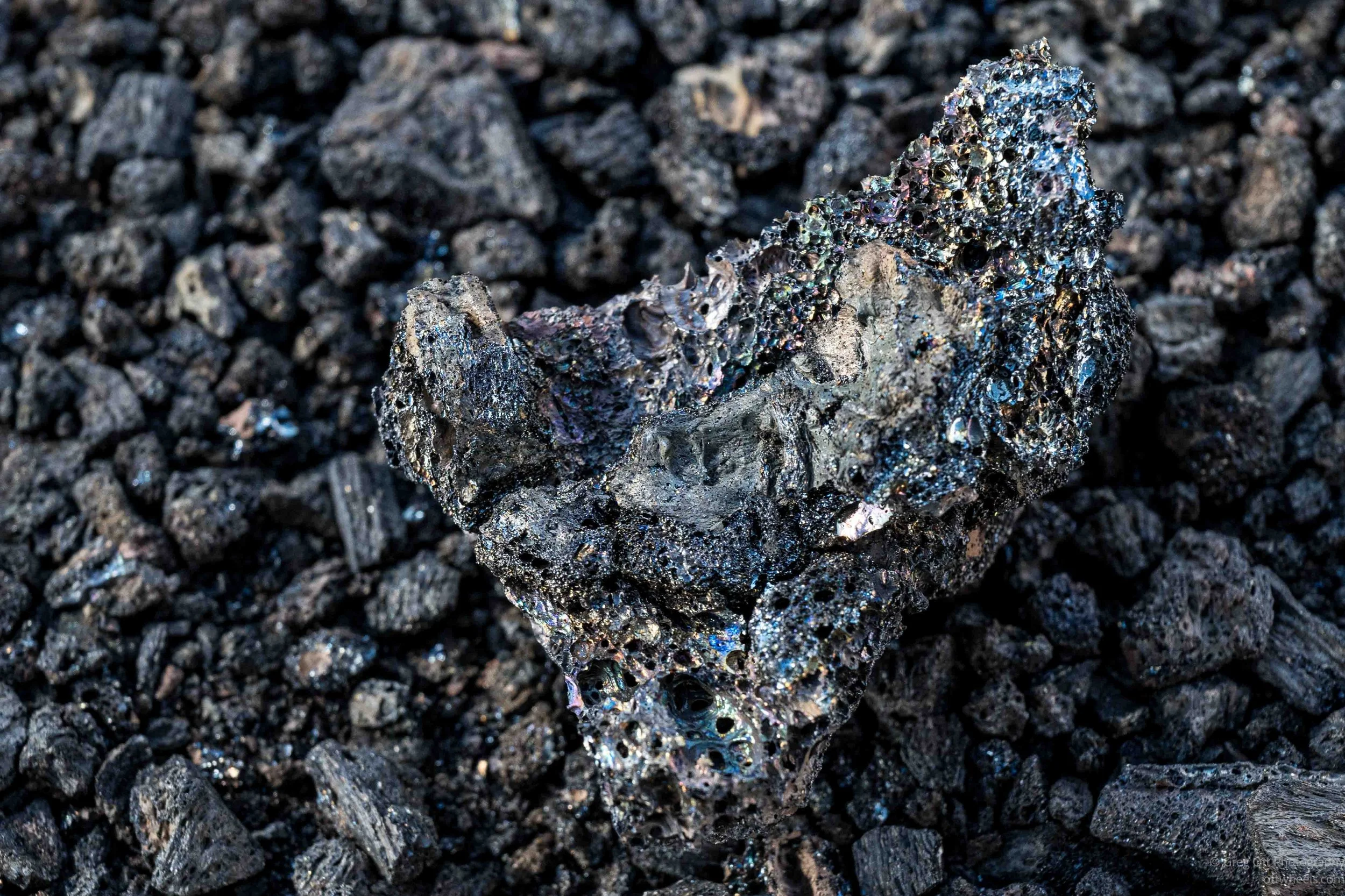
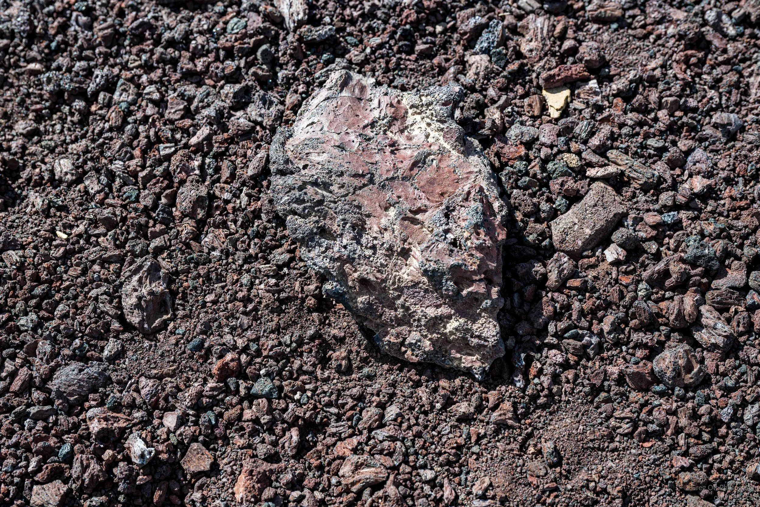
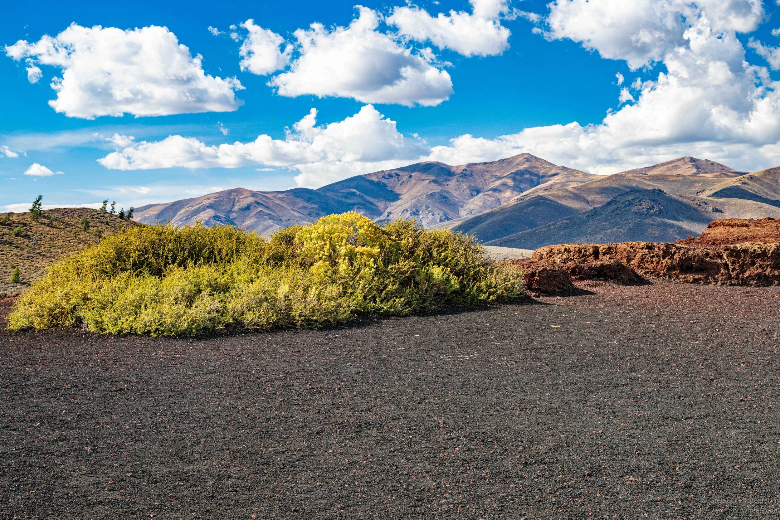
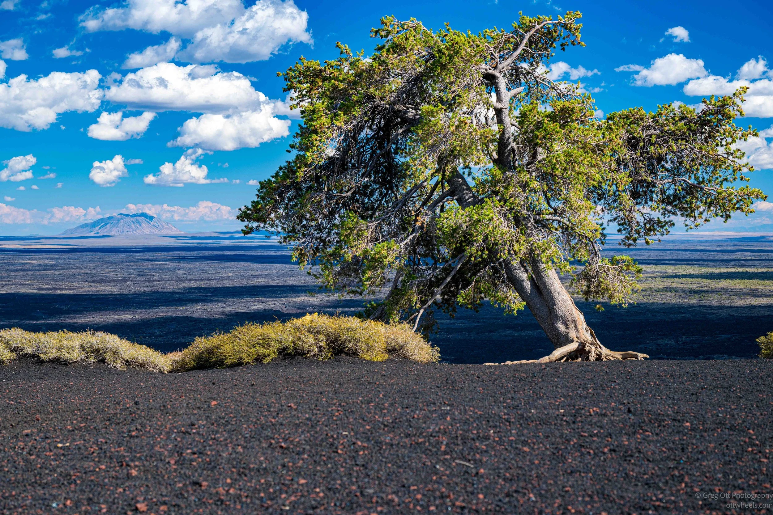
At the top I had a nearly 360-degree view of Craters of the Moon. From there I could see how enormous the lava field really was, stretching across the Snake River Plain in long dark bands. In other directions were rounded volcanic hills, mountains and patches of vegetation pushing through the black ground. Even the small details were interesting. Some of the volcanic rock had a shiny, almost metallic surface, while other pieces were red, brown and porous. The climb was short, but it gave me a much better sense of the scale of the place than I had from down along the road.
The Spatter Cones
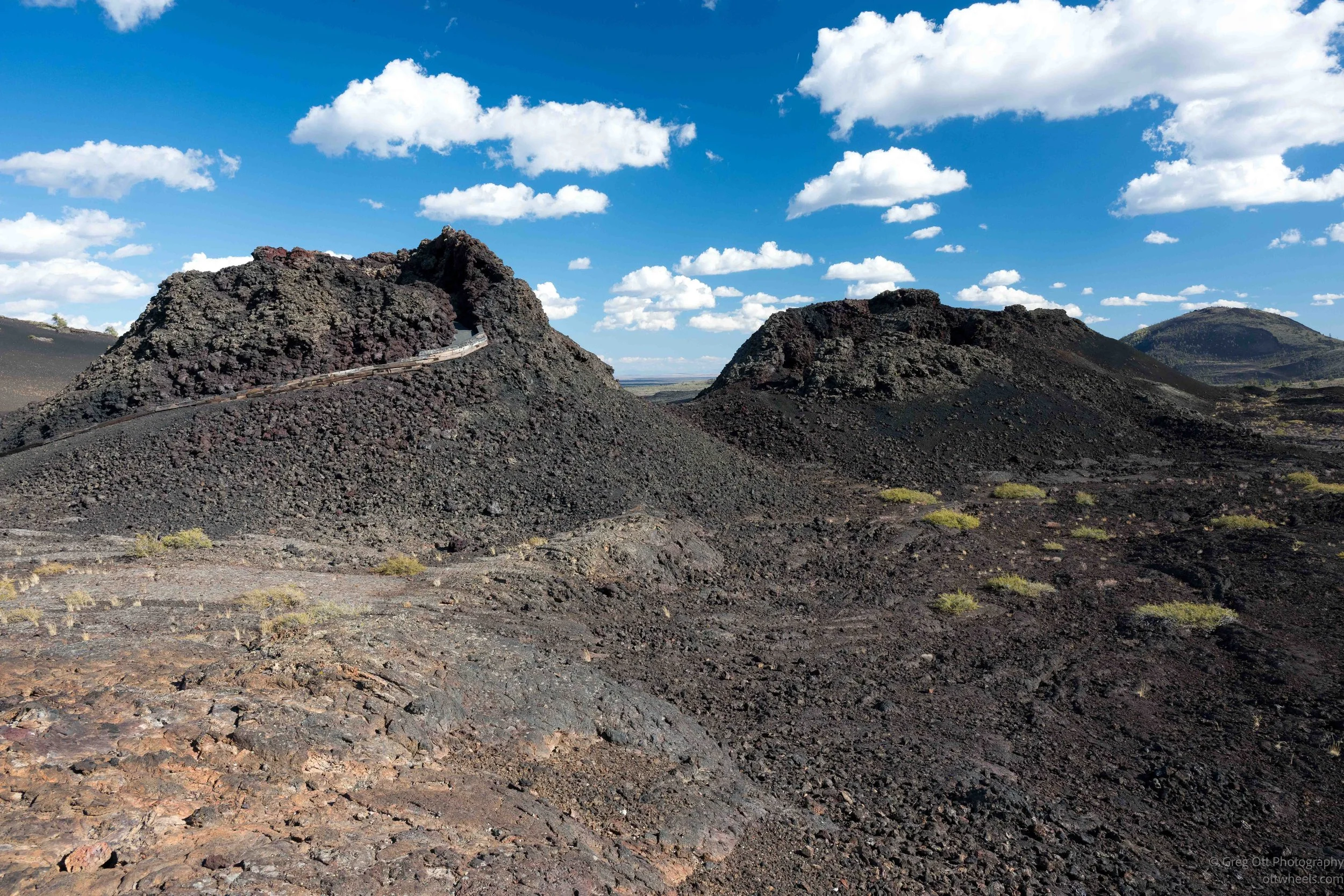
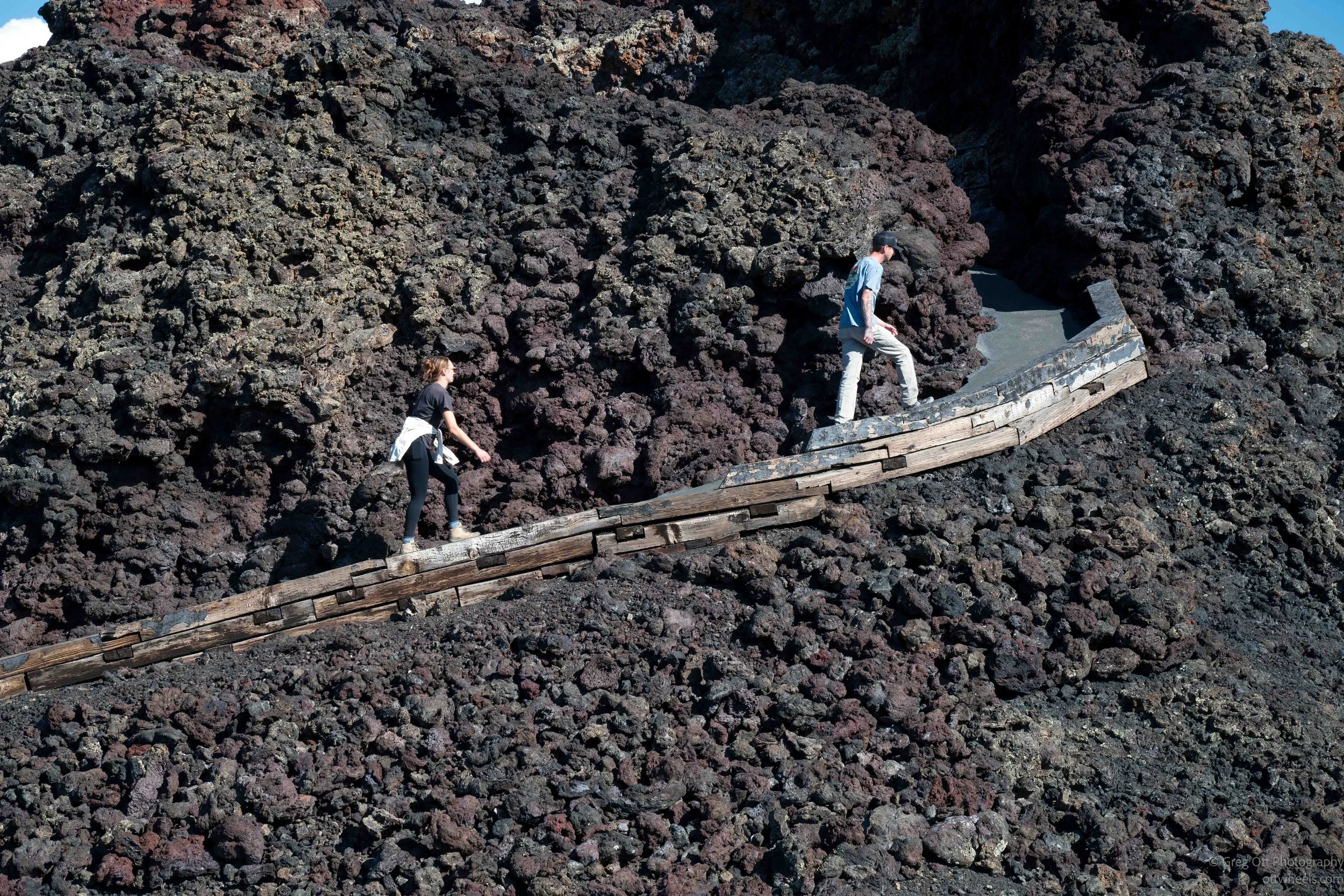
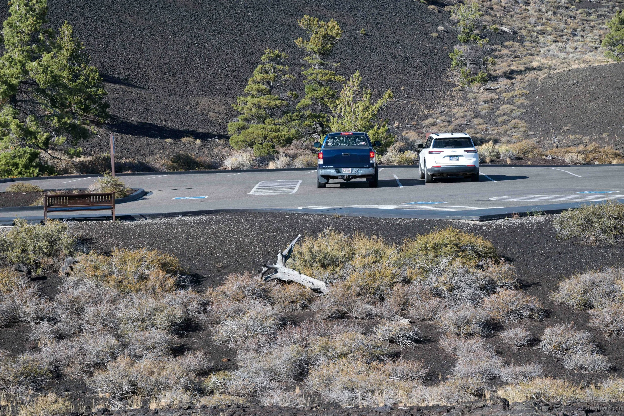
It wasn’t far to the next stop, the Spatter Cones. I pulled into the parking lot just as a couple was getting out of a pickup. Written across the back window were the words “Just Married!” along with a message asking people to wish them well. I grabbed a photo of them walking up the outside of the cone and then followed them up the trail.
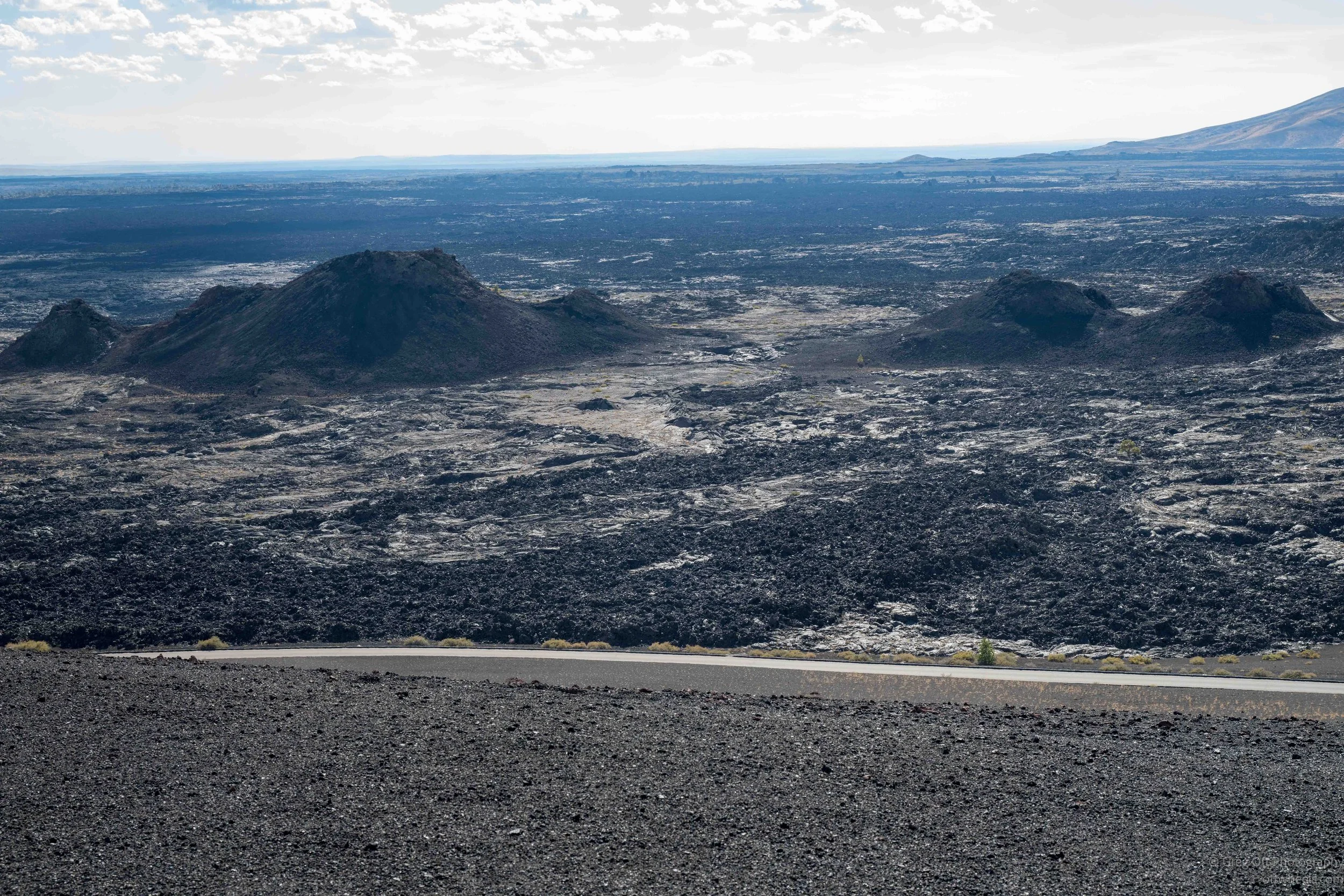
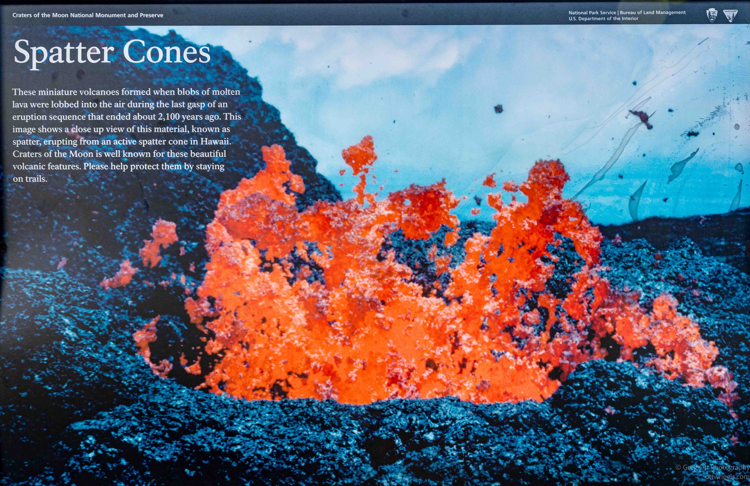
When I caught up with them, I wished them well. She laughed and said, “You’re the first person that has said that.” That surprised me, considering the message was written across the back of their truck. We talked for a few minutes. Their names were Elaina and Kelab, and they were from Colorado. From there I continued up through the Spatter Cones, small volcanic vents formed when blobs of molten lava were thrown into the air and welded together around the openings. Up close, the cones were jagged and irregular, much rougher than they looked from the parking lot.
Tree Molds Trail
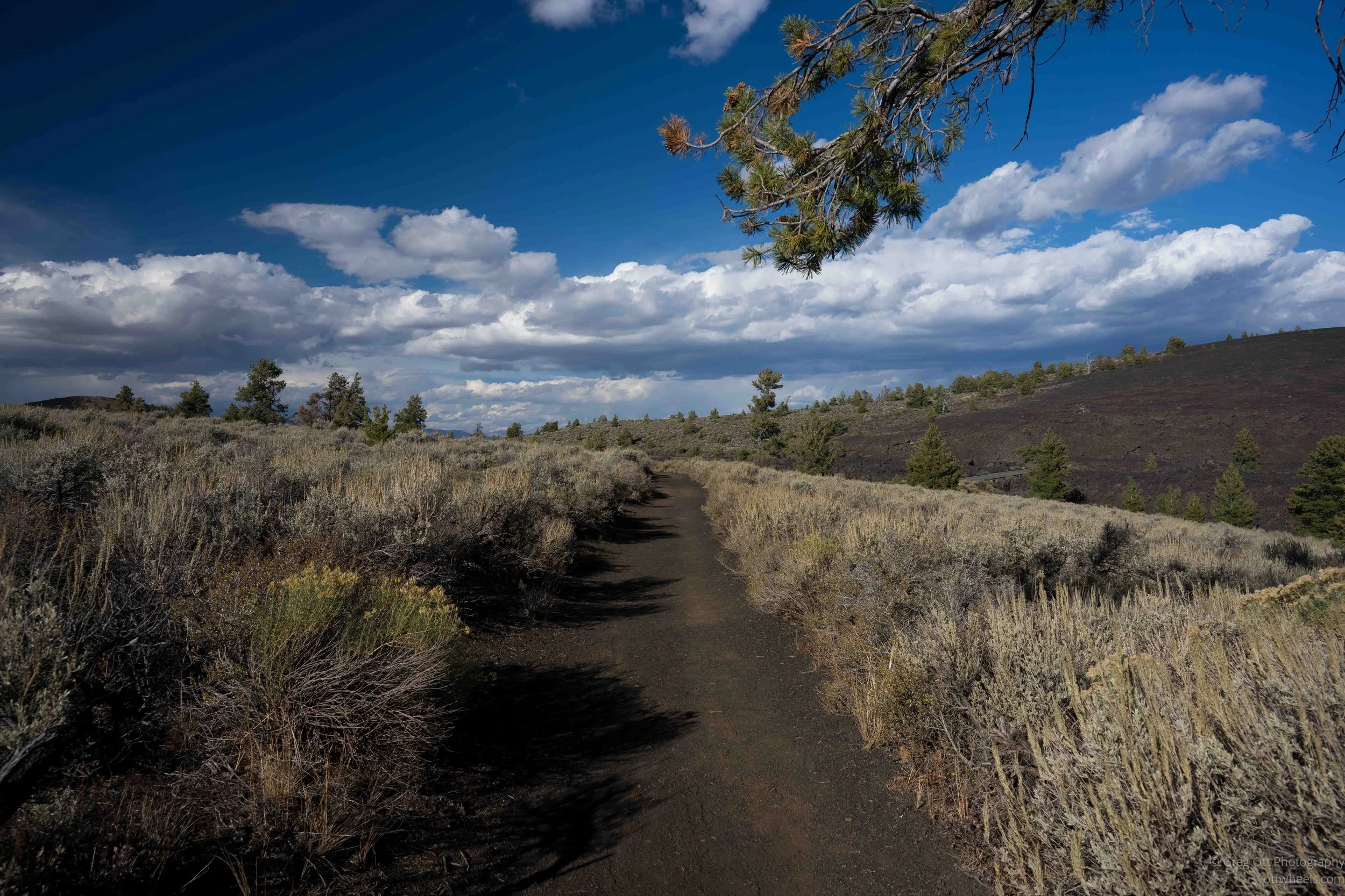
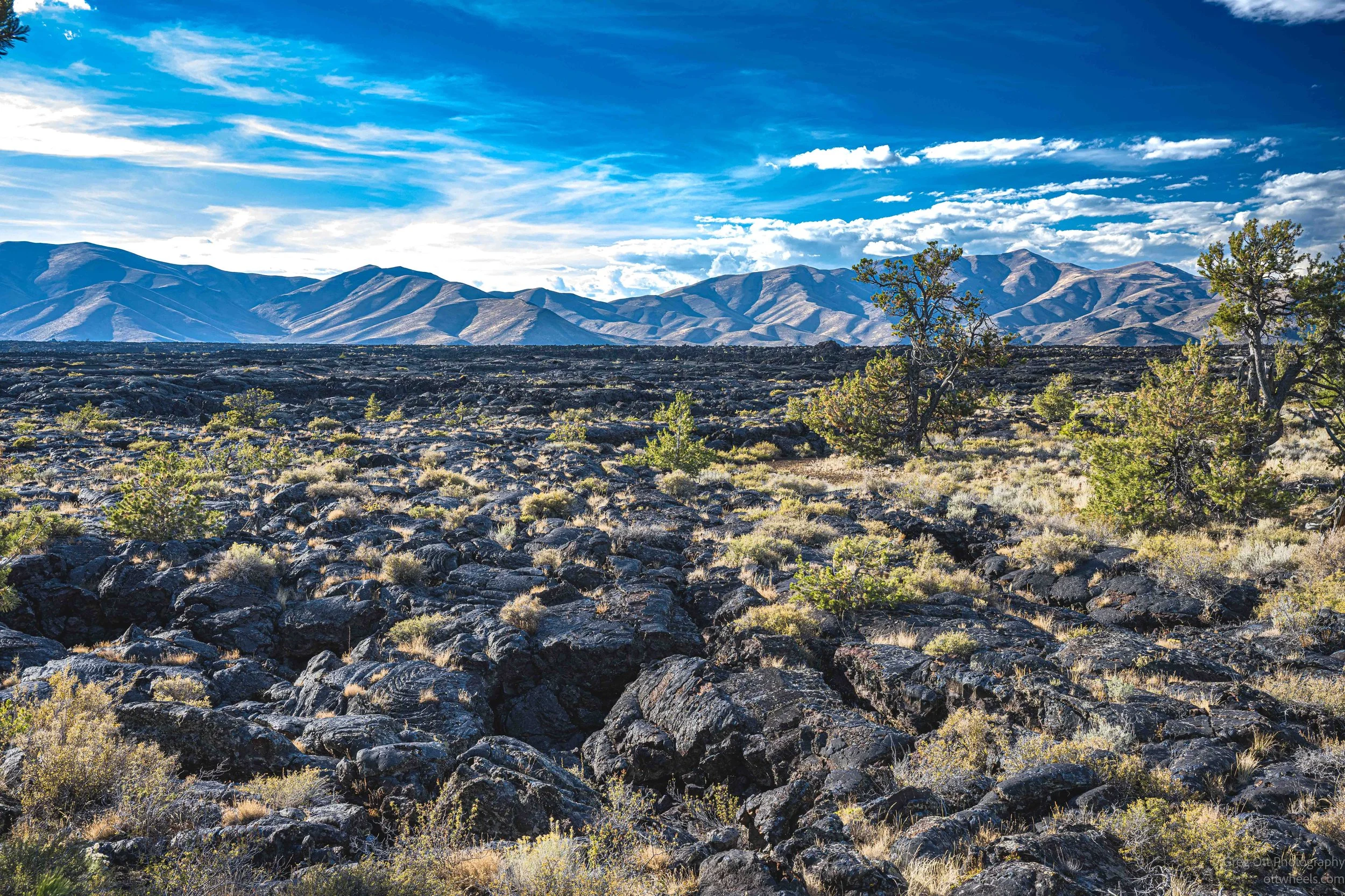
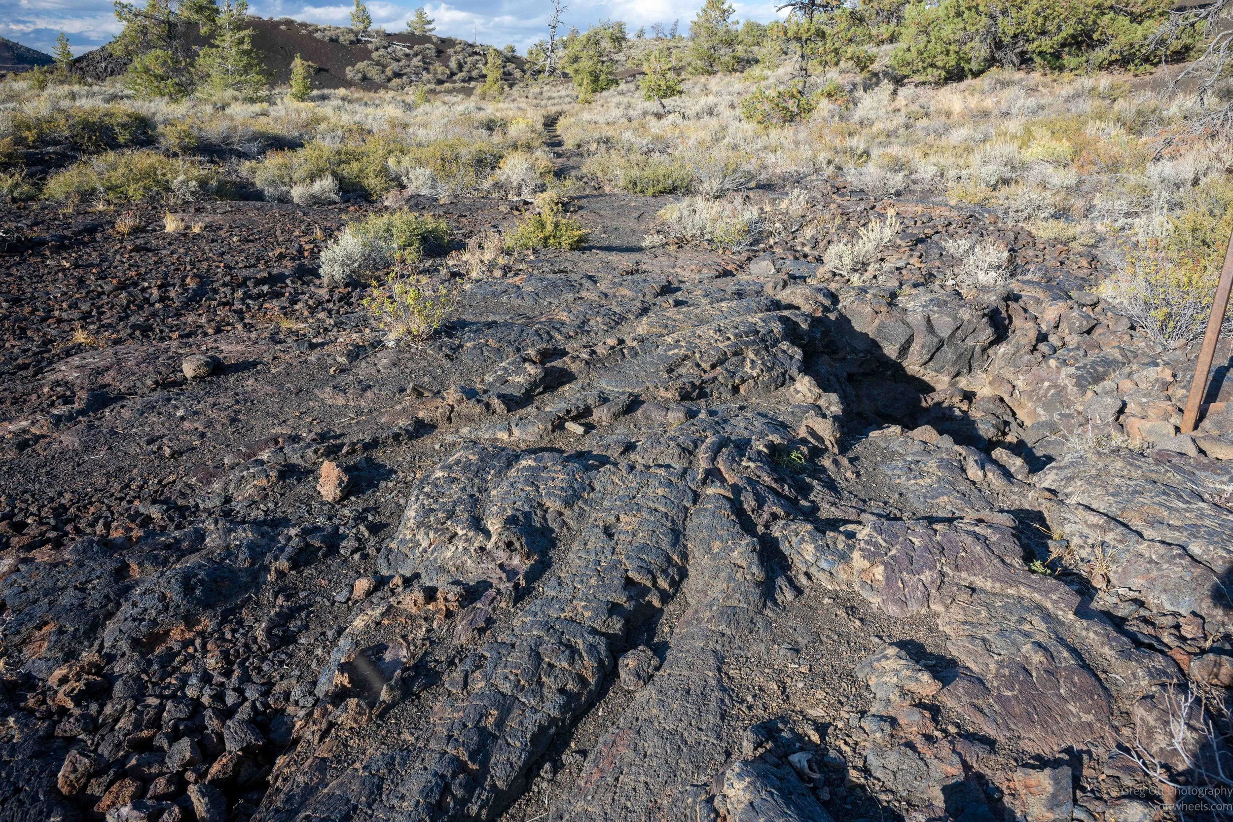
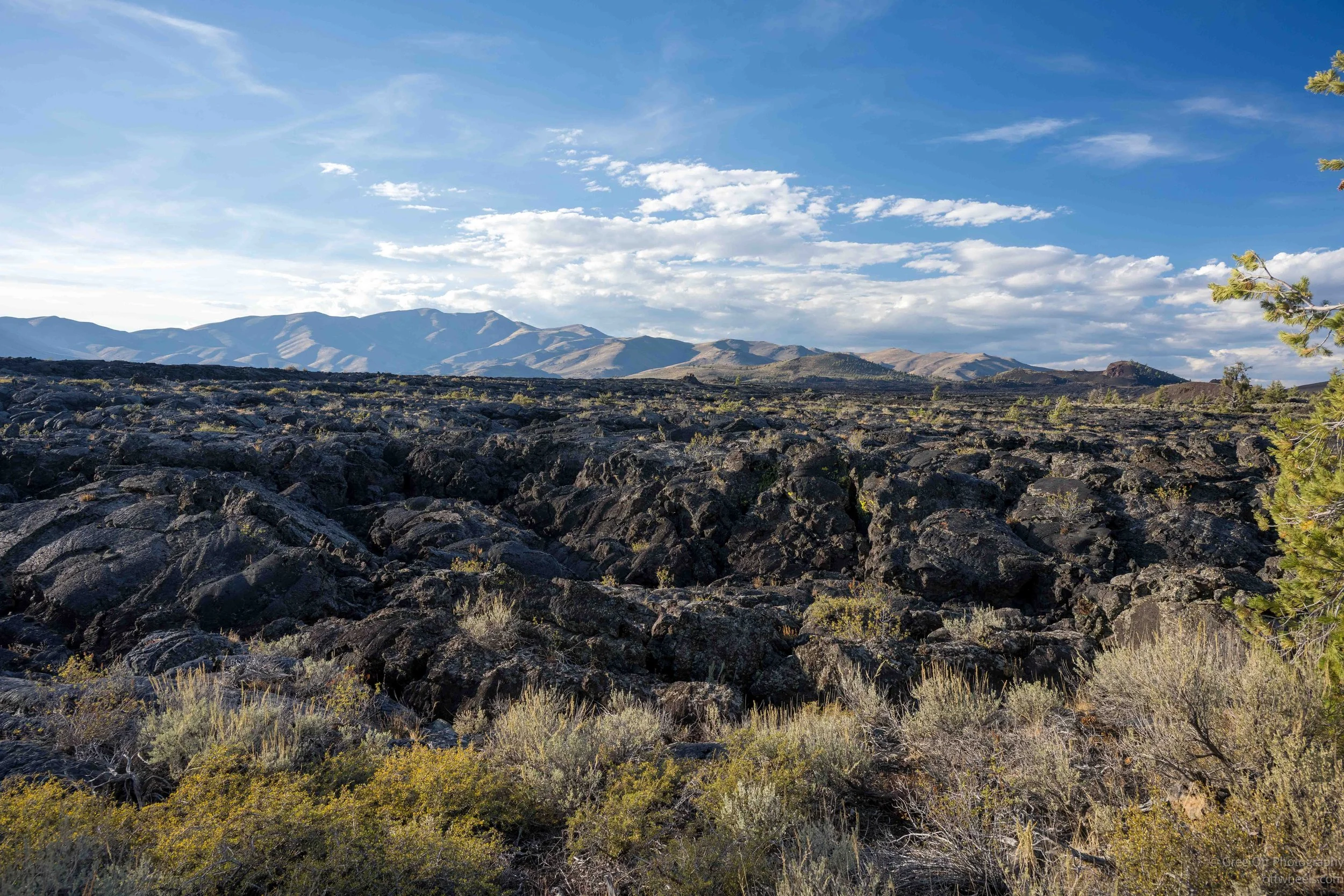
It was getting close to the end of the afternoon when I drove to the Tree Molds Trail. The maintained trail ran about a mile out to the tree molds, and when I looked at my watch I thought I had plenty of time. There was only one other car in the parking lot, and once I started walking I never saw another person. The trail itself was mostly a soft mixture of cinders and soil. On one side there were sagebrush, small pines and other vegetation, while on the other side stretched a huge field of broken black lava. It still surprises me that after more than a thousand years, some parts of these lava fields remain almost completely barren while vegetation has taken hold only a short distance away.
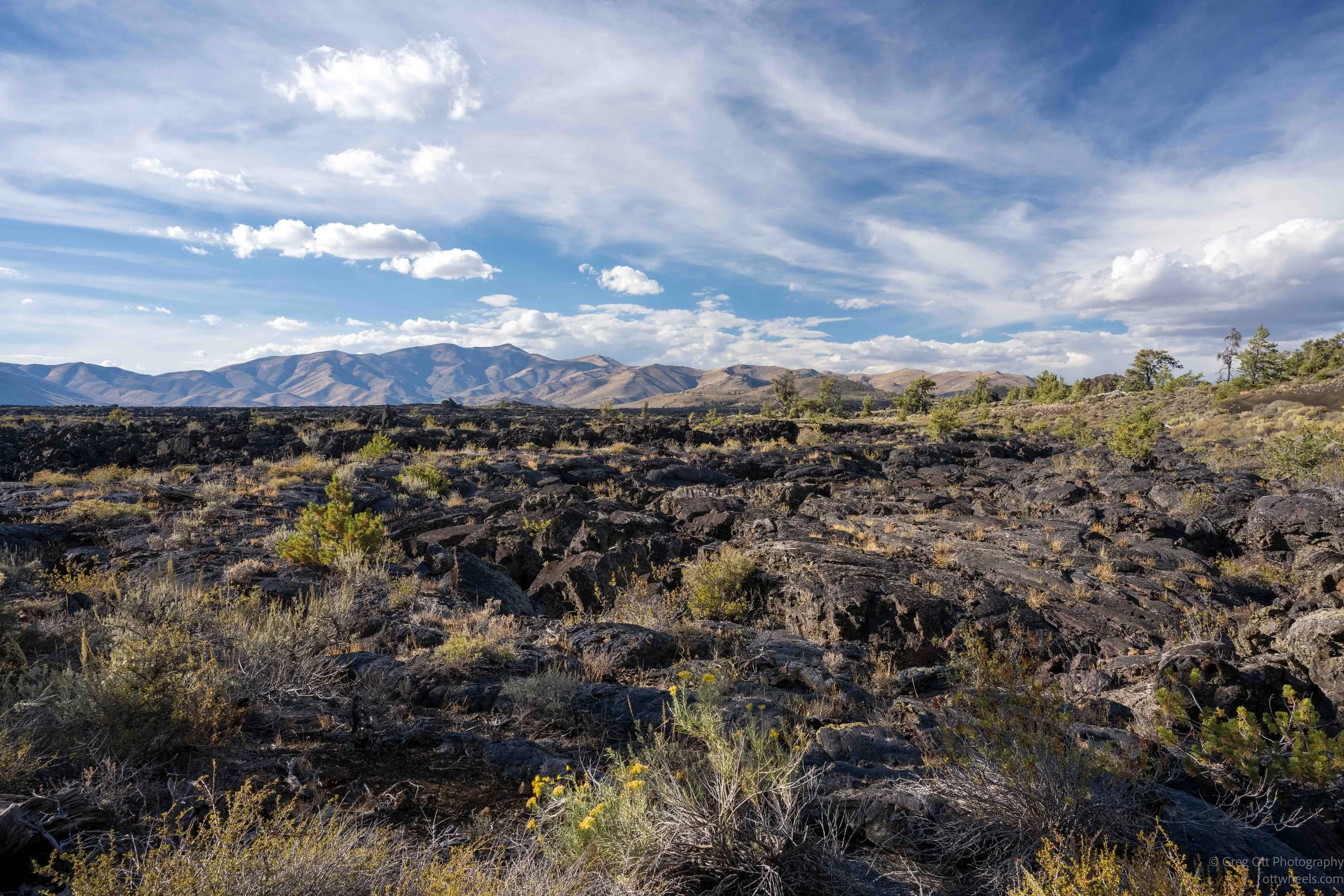
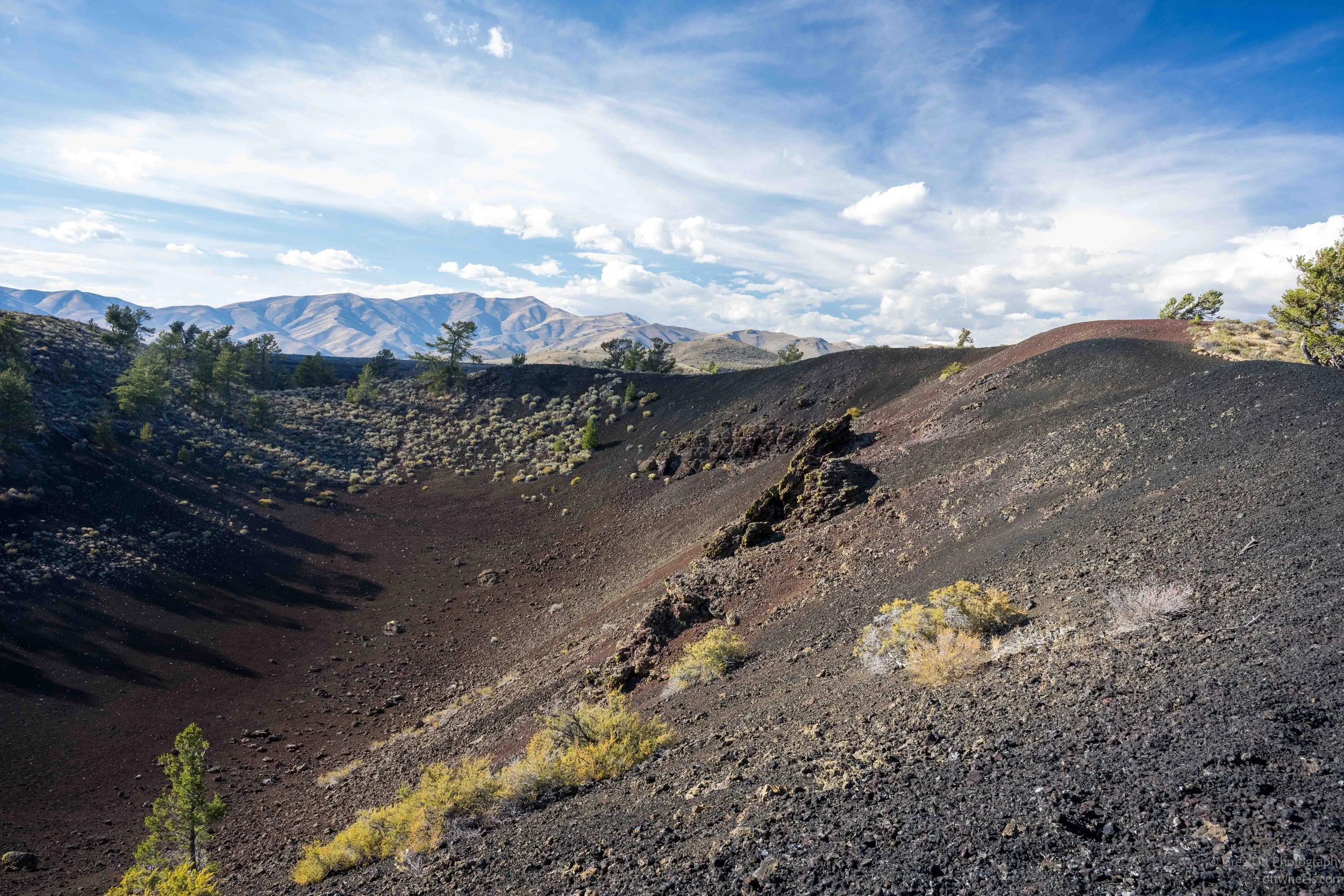
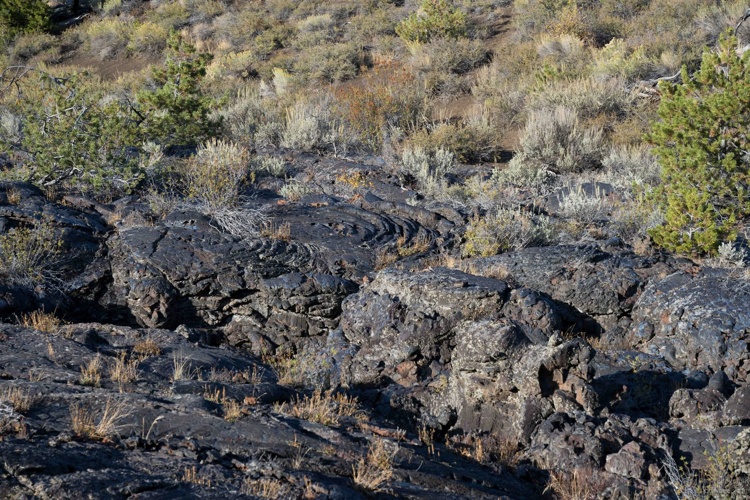
Near the beginning of the trail I passed what looked like a small crater. There wasn’t a sign explaining it, but the shape seemed pretty obvious. From there the trail moved back and forth between areas of loose cinders and solid lava. Some of the lava had cooled into smooth, folded surfaces, while other sections were broken into blocks with cracks between them. In places the lava field seemed to go on forever, with the mountains rising beyond it. There was something beautiful about the scale of it, particularly late in the afternoon when the lower sun began bringing out the texture in the rocks.
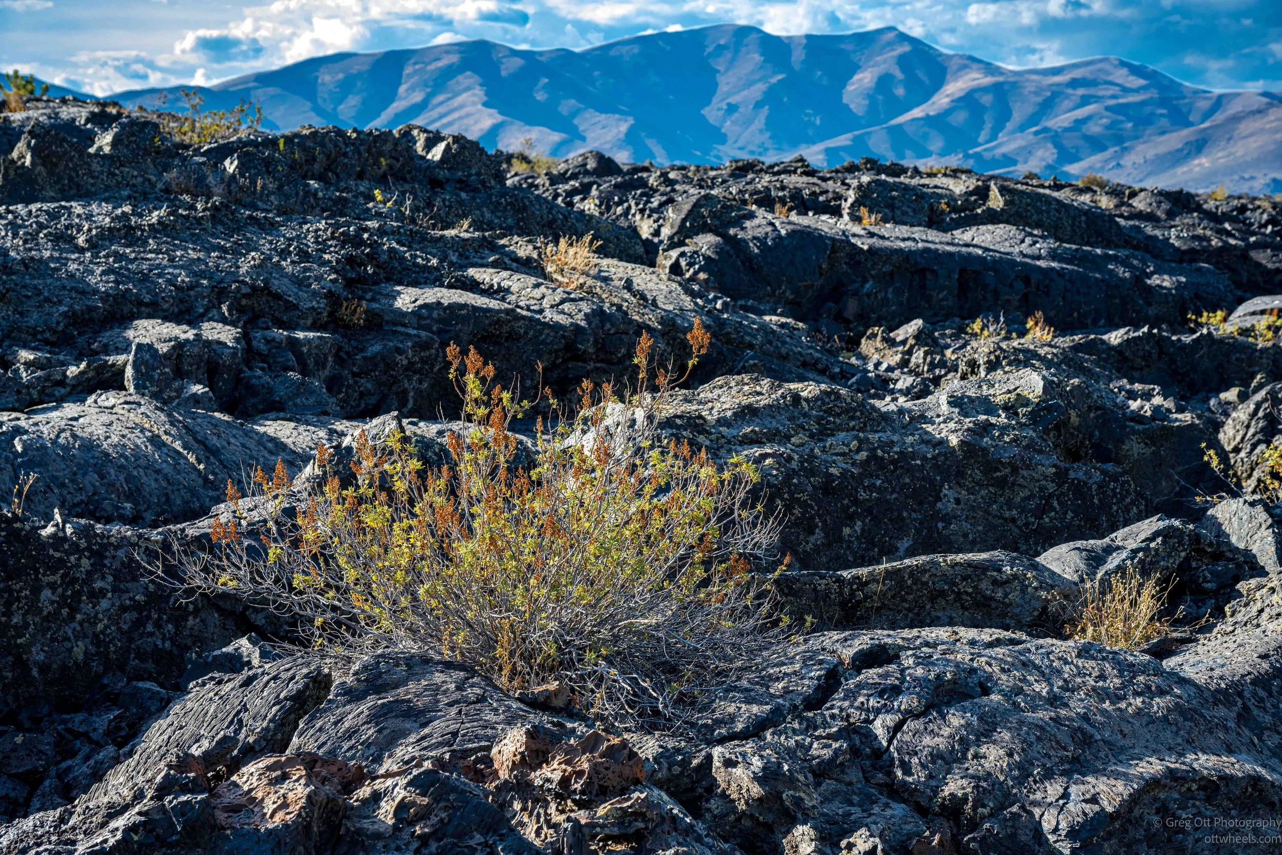
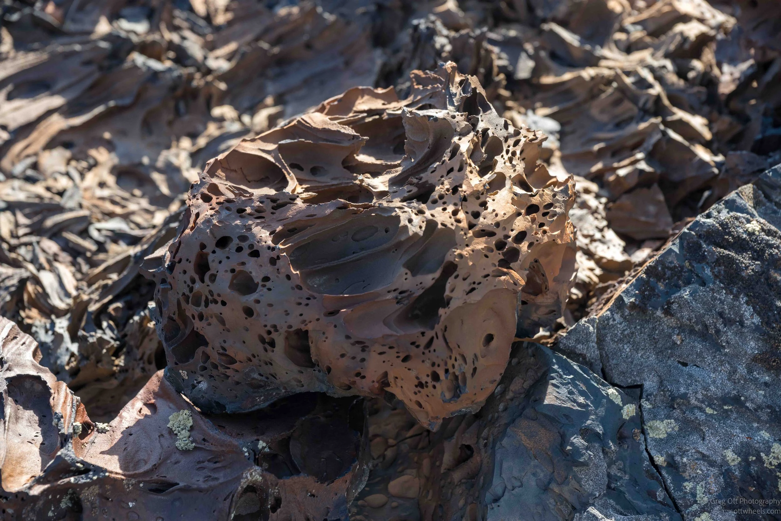
The closer I looked, the stranger some of the rock became. There were pieces filled with holes left by gas bubbles trapped as the lava cooled. Some were black and porous like the rock I had seen elsewhere in the monument, but others were reddish brown and had much larger cavities and thin walls between them. I don’t know the exact geological name for every variation I saw, but they were clearly formed under very different cooling conditions. Other areas had lava that looked almost layered or folded, as if I were looking at a frozen surface that had once been moving.
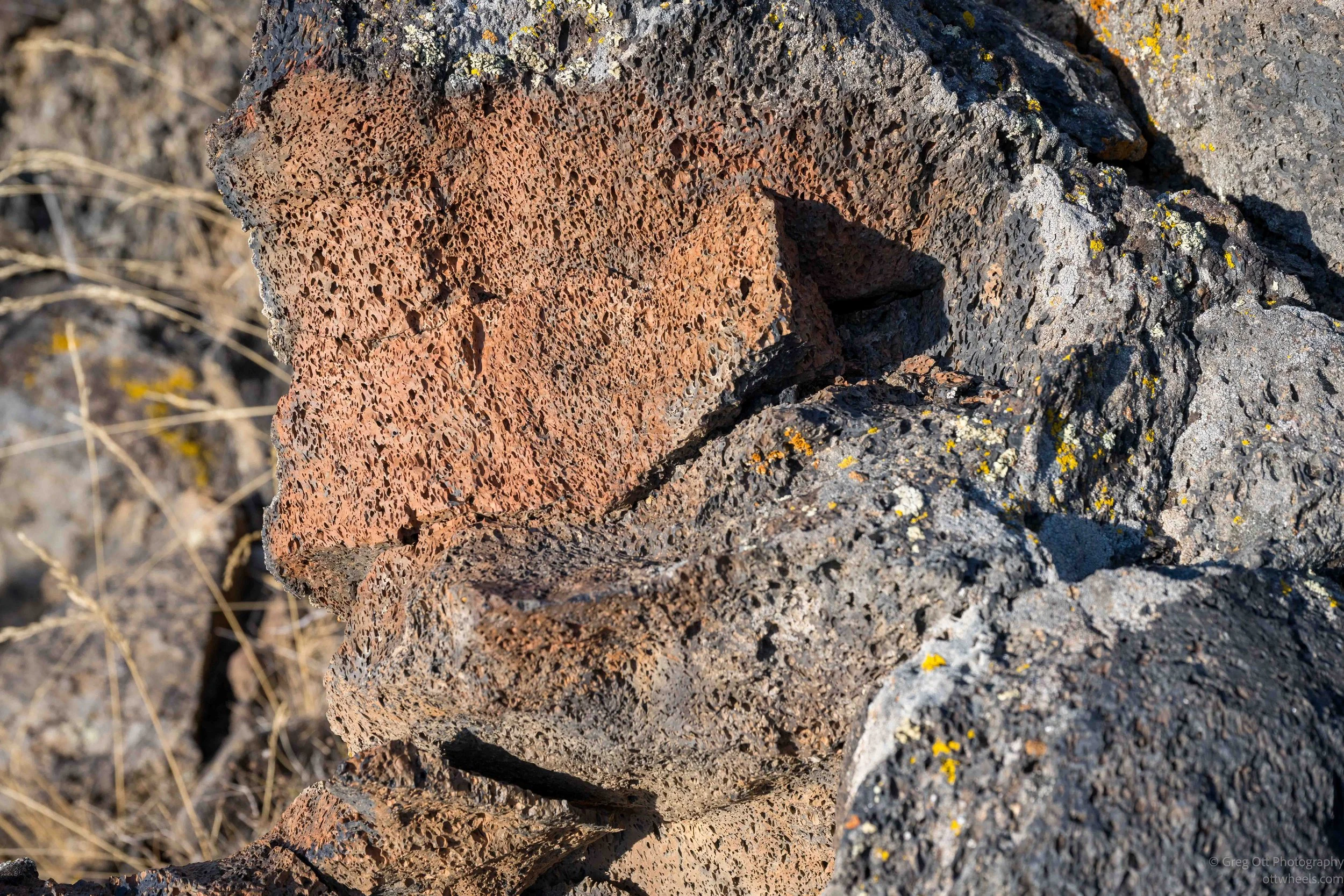
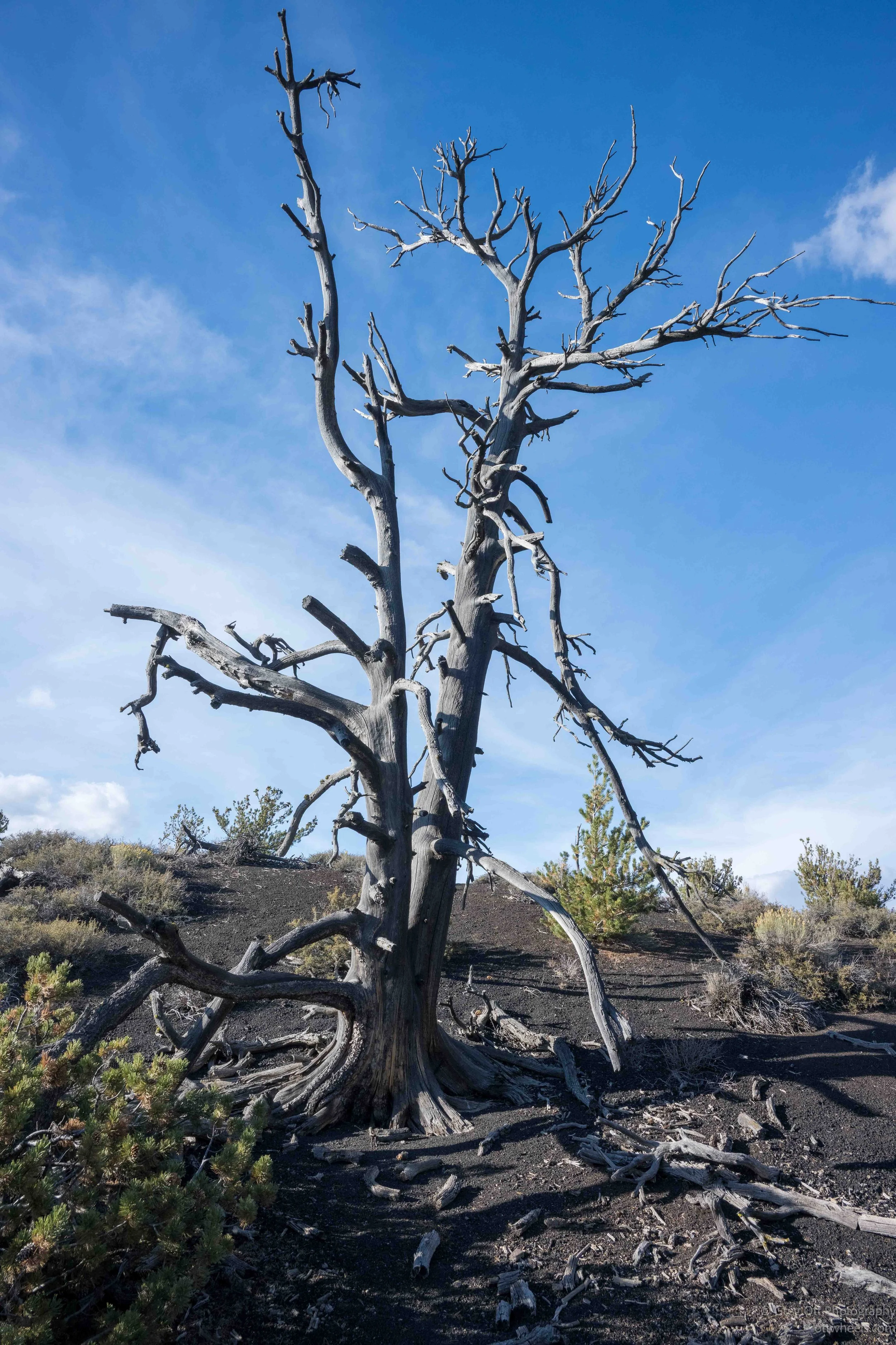
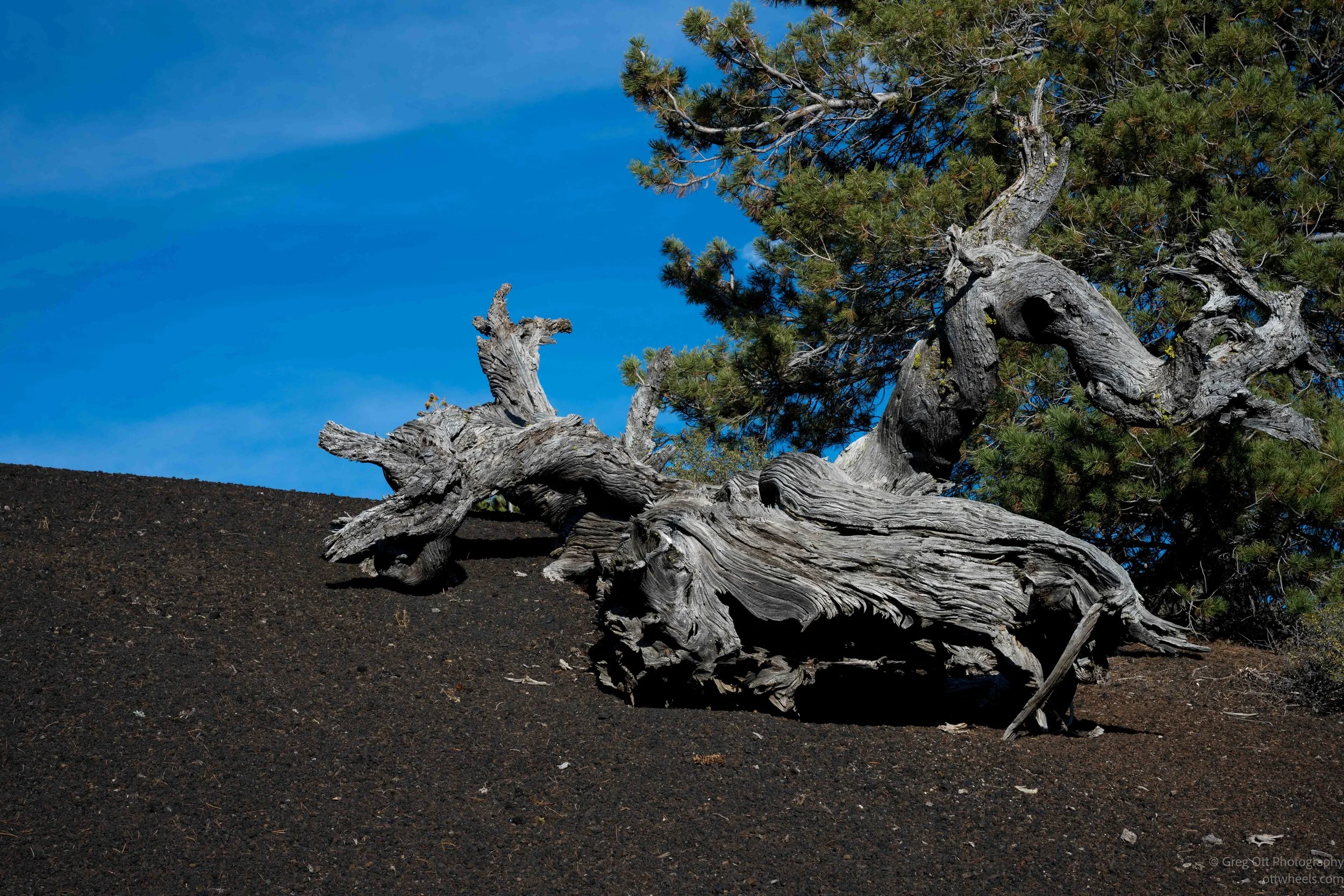
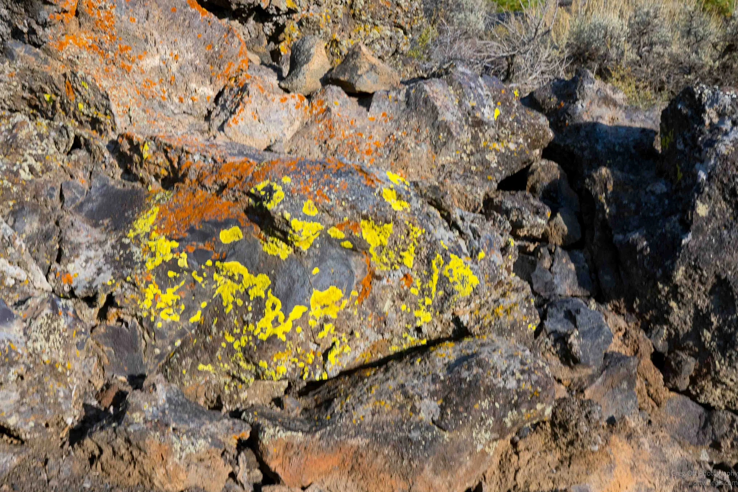
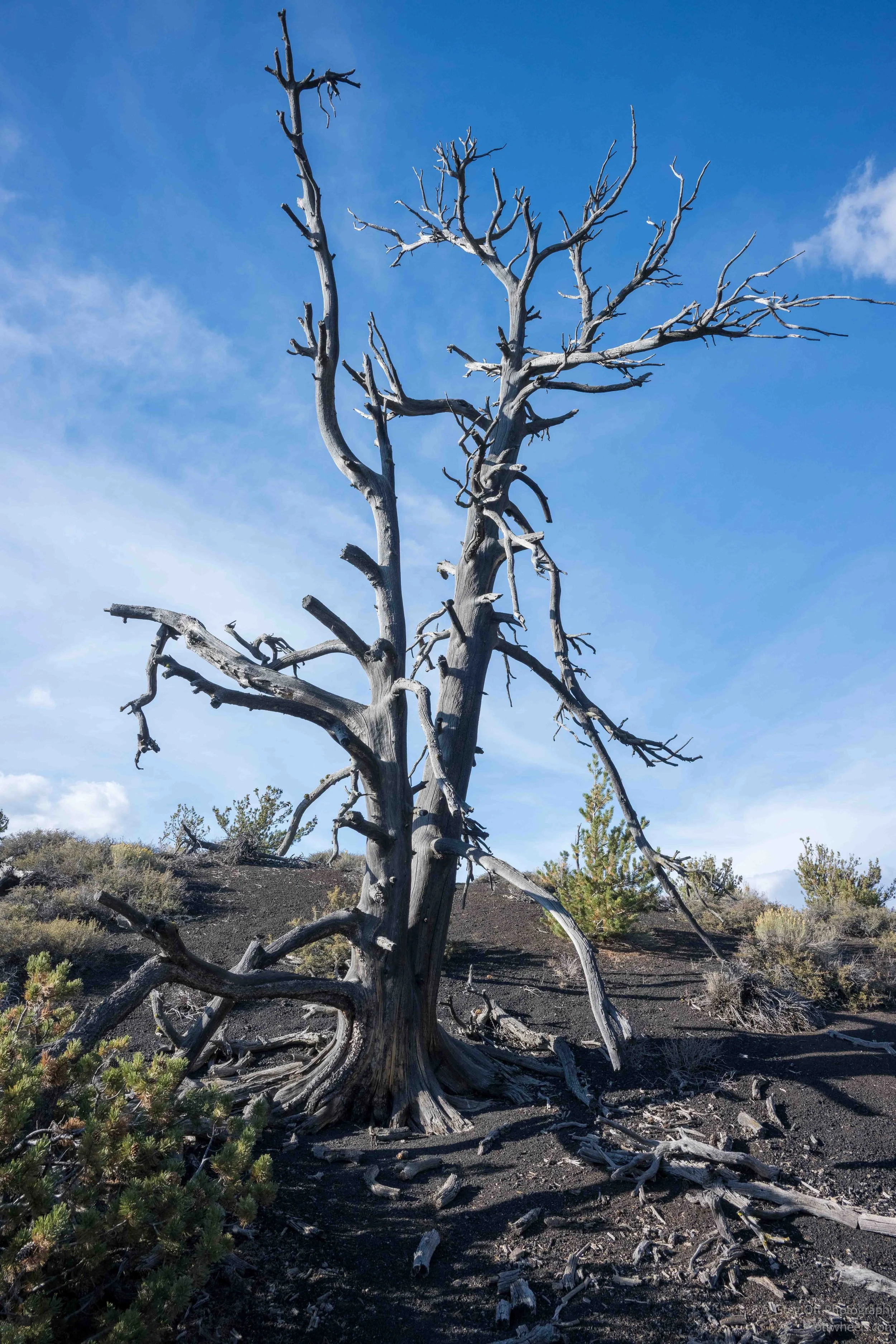
Color also began appearing where I hadn’t expected it. Bright yellow and orange-red lichens covered some of the darker rocks, sometimes in small spots and sometimes across much of a surface. They stood out sharply against all the black and brown lava. There were also old tree trunks lying across the cinders and several dead trees still standing. Their weathered gray wood looked almost sculptural against the dark ground.
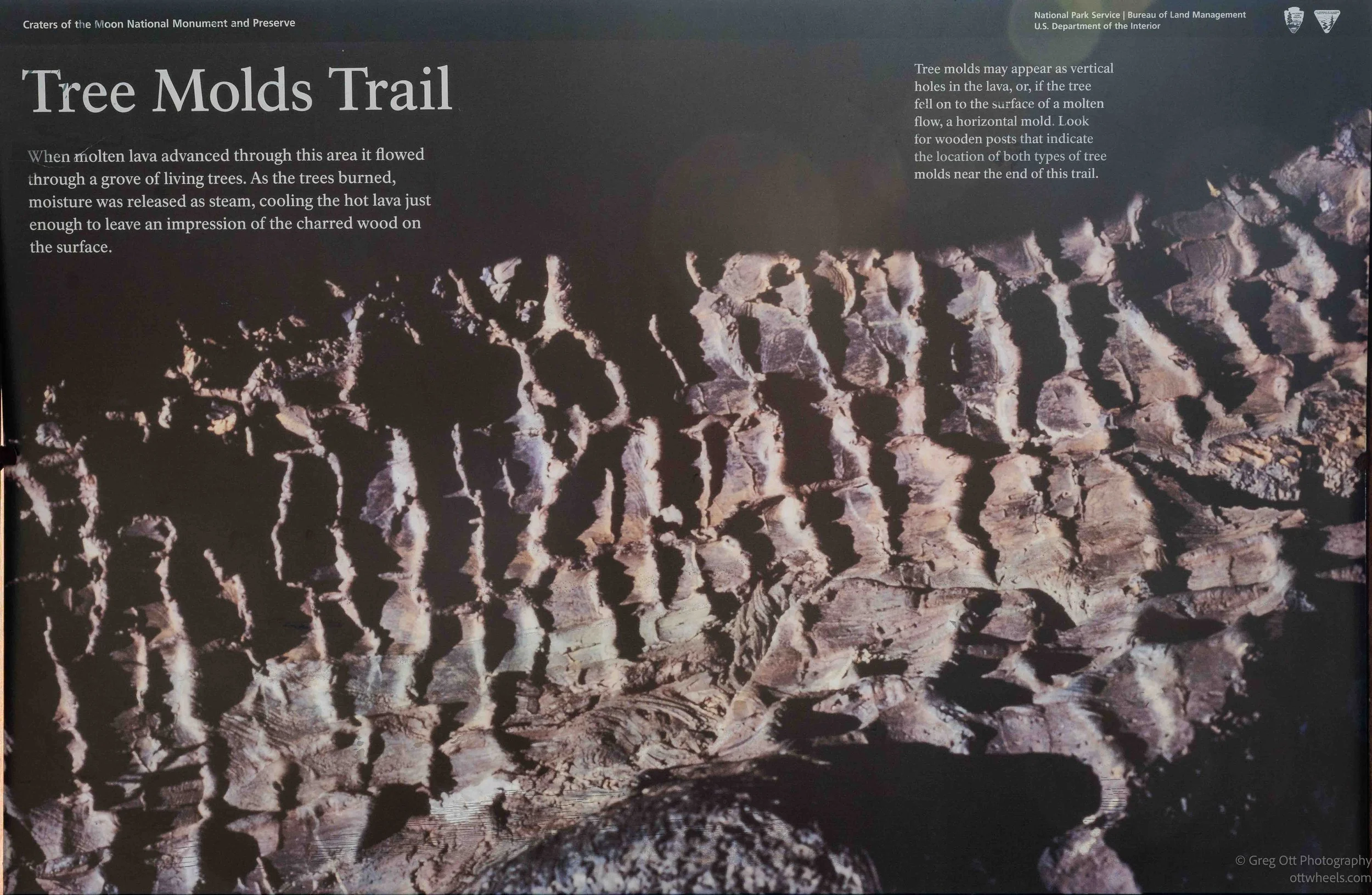
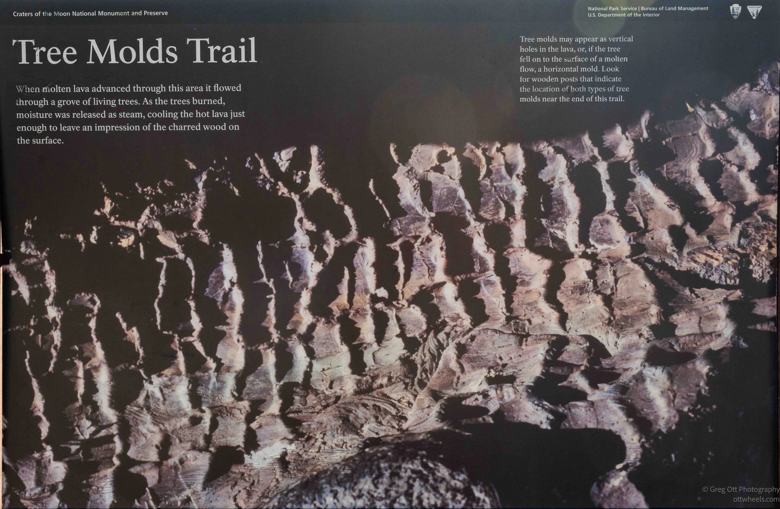
Eventually I reached the area where the tree molds were supposed to be. I’m still not completely certain which formations I was looking at, but I think I found at least some of them. The sign explained that molten lava once flowed through a grove of living trees. As the trees burned, moisture released as steam cooled the lava immediately around the trunks, leaving impressions of the wood behind. Some molds are vertical holes where a tree once stood, while others are horizontal impressions left by trees that fell into the lava. That helped explain what I was seeing. Several places looked almost like pieces of wood embedded in the lava, except they weren’t petrified trees at all—they were impressions left behind after the trees disappeared.
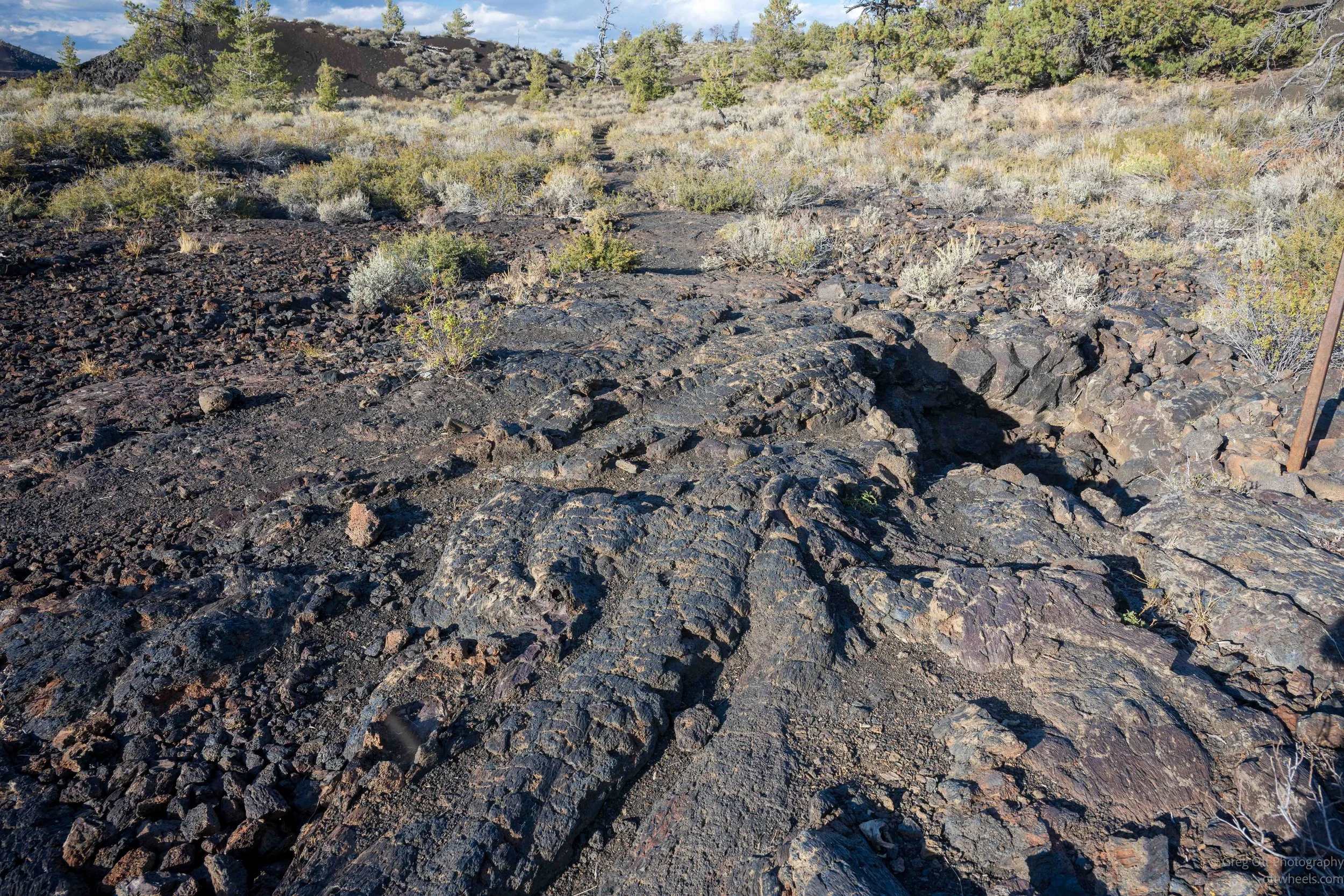
There were also walls and piles of extremely rough lava that seemed to rise abruptly out of otherwise flatter terrain. Some of that rock was full of bubbles, while other sections had sharp, almost square edges. I had to watch where I stepped because a fall onto it would have been unpleasant. The contrast was interesting: soft cinders underfoot in one place, smooth folded lava nearby, and then suddenly a wall of razor edged rocks.
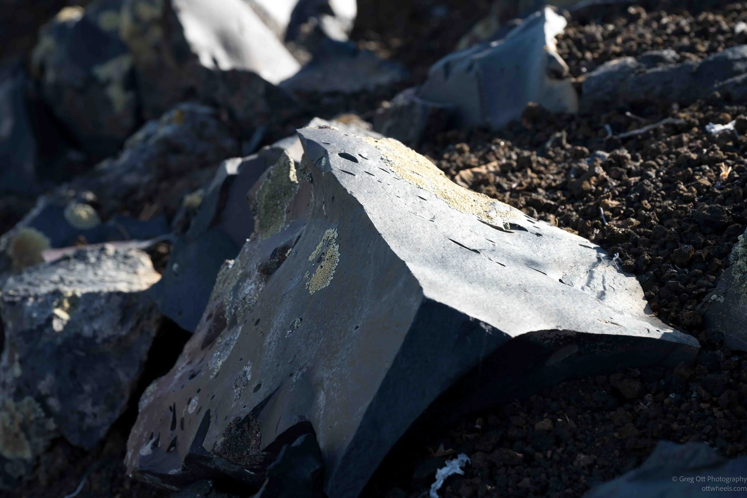
When I reached the end of the maintained trail, I decided to continue for another half mile or so. There were no markers and not much of a trail, but I could follow a natural route between the edge of the lava flow and the vegetation. I was hoping I might find more unusual formations farther out, but I really didn’t. By then the afternoon was disappearing quickly. I hadn’t brought a flashlight, and I didn’t want to end up using my phone to find my way back, so I picked up the pace. I made it back to the van about thirty minutes before sunset.
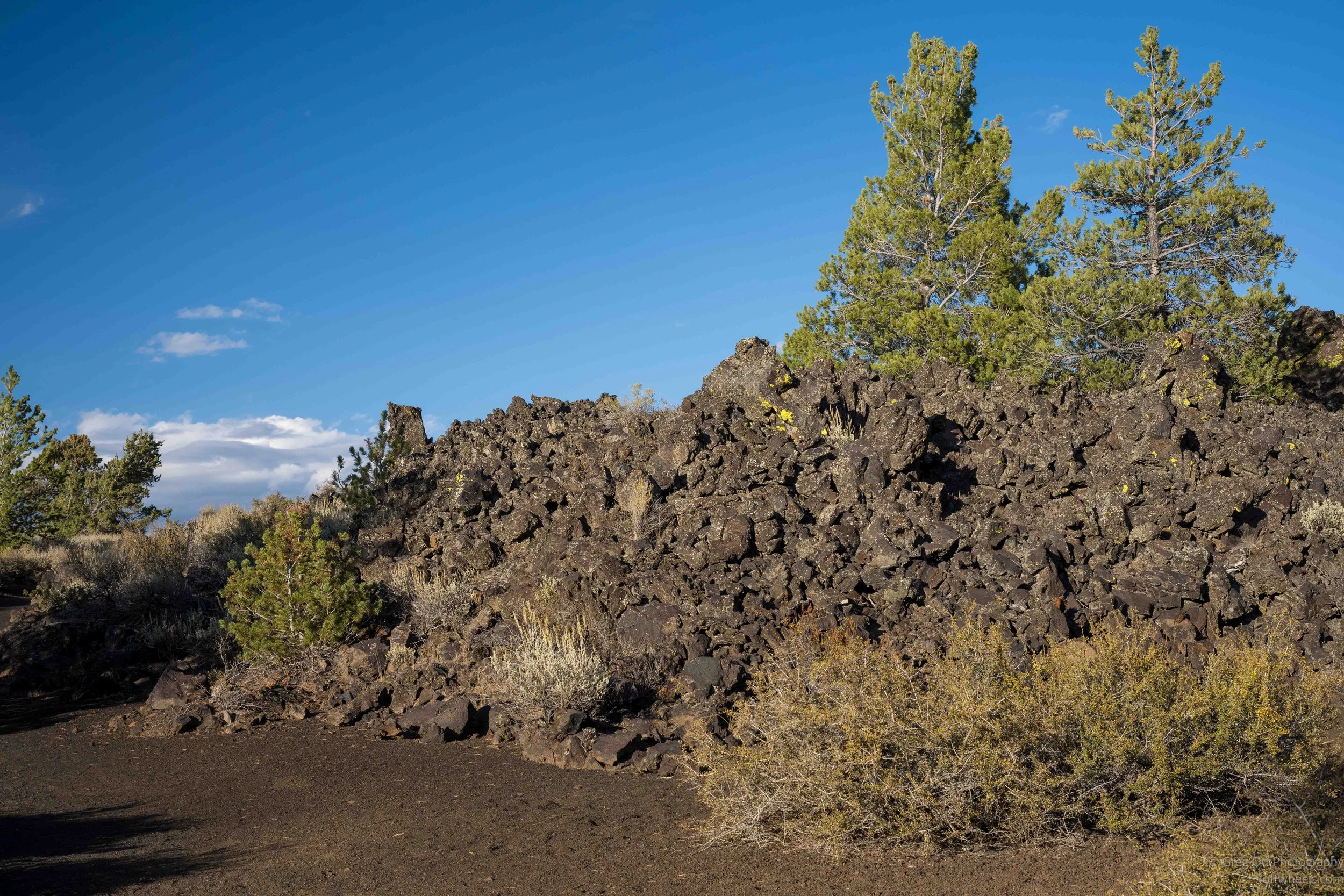
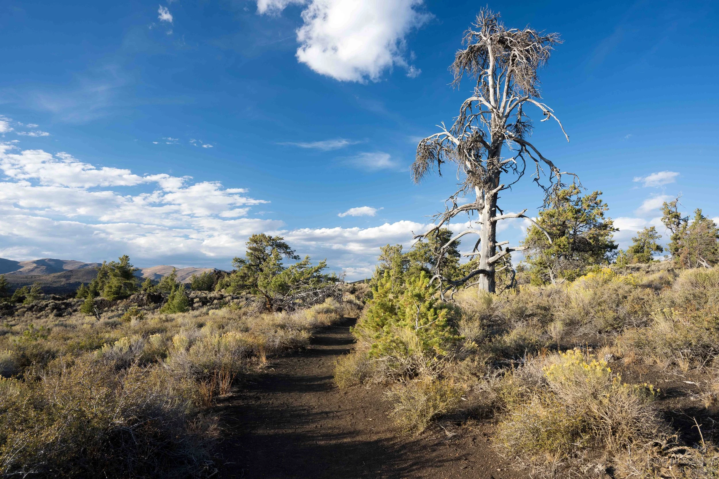
As I drove back to the campsite, it was getting dark, and I was glad to know I already had a place to stay. A few campfires were burning when I pulled in, but I didn’t have the energy to go over and introduce myself to the neighbors. I made dinner, climbed into bed and thought back over the day. I had started the morning crossing things off a list, but somewhere along the way it had turned into another day of unexpected connections, small discoveries and things I hadn’t known when I woke up. That has become one of my favorite parts of traveling this way.