Understanding Unalaska / Dutch Harbor
Many people who find this page aren't regular readers of my blog. They arrive here because they're planning a trip to Dutch Harbor, researching the Aleutian Islands, or simply curious about one of the most remote communities in the United States.
Dutch Harbor isn't a typical tourist destination. People don't come here for souvenir shops, cruise ship excursions, or crowded attractions. They come to experience a place that feels different from almost anywhere else in America—a community shaped by the sea, commercial fishing, the Unangax̂ people, World War II, active volcanoes, and a climate that reminds you every day that nature is still in charge.
My own interest in the Aleutians actually began much farther west. My original goal was to reach Attu Island, the westernmost island in the chain (which is actually east of Dutch Harbor, see below) and the site of one of the only World War II battles fought on American soil. Getting there has turned out to be far more difficult—and expensive—than I had imagined. Dutch Harbor became my gateway into the Aleutians instead.
I had signed up for what was advertised as a three-hour photography and birding tour with Aleutian Life Tours (Tripadvisor or email: aleutianlifestudios@gmail.com). It eventually lasted more than five hours. Looking back, calling it a birding tour doesn't really do it justice. It became a conversation about so much more. Dennis Robinson was the perfect person to have that conversation with.
Dennis, My Guide
When I booked my tour with Aleutian Life Tours, I didn't know much about Dennis Robinson. I had heard great things about the company, and when I arrived, Lynda suggested that Dennis (her husband) would be the perfect guide for me. Looking back, I don't think I could have had a better introduction to Unalaska.
Dennis is much more than a tour guide. He was born and raised in Unalaska and has spent most of his life helping shape the community. Over the years he has served on the Unalaska City Council for nearly two decades, been a director of the Ounalashka Corporation, and served as President of the Qawalangin Tribe (Wikipedia listed as Chief). He has also worked with regional organizations on fisheries, transportation, economic development, and other projects that have helped transform Dutch Harbor into one of the world's busiest commercial fishing ports.
What struck me most wasn't his list of accomplishments—it was the way he told stories. As we drove around the island, nearly every stop had a personal connection. Sometimes it was a project he had worked on. Other times it involved his family, neighbors, or people he had known for decades. It quickly became clear that he wasn't repeating facts from a guidebook. Much of what he shared came from a lifetime of living on the island and helping build the community.
At one point I asked Dennis where he had studied. He spoke so comfortably about infrastructure, construction, land ownership, and legal issues that I assumed he must have an engineering degree. He laughed and told me he didn't. Instead, he explained that he had left high school while he was young but later returned to earn his GED. In the meantime, he worked alongside his father during the years Dutch Harbor's fishing industry was rapidly expanding, helping build the infrastructure that supported that growth. His education came from solving real-world problems rather than a university classroom, and it showed.
One thing I especially appreciated was that Dennis never volunteered any of this information. I only learned about his background because I kept asking questions and later read online. He wasn't trying to impress me with his résumé. He was simply sharing the story of the island he has called home his entire life.
The Fishing Industry: It Isn't Just Big—It's Everywhere
Before coming to Dutch Harbor, I knew it was one of the largest commercial fishing ports in the United States. That is one of those facts you can read, understand intellectually, and then quickly forget. Then you see it.
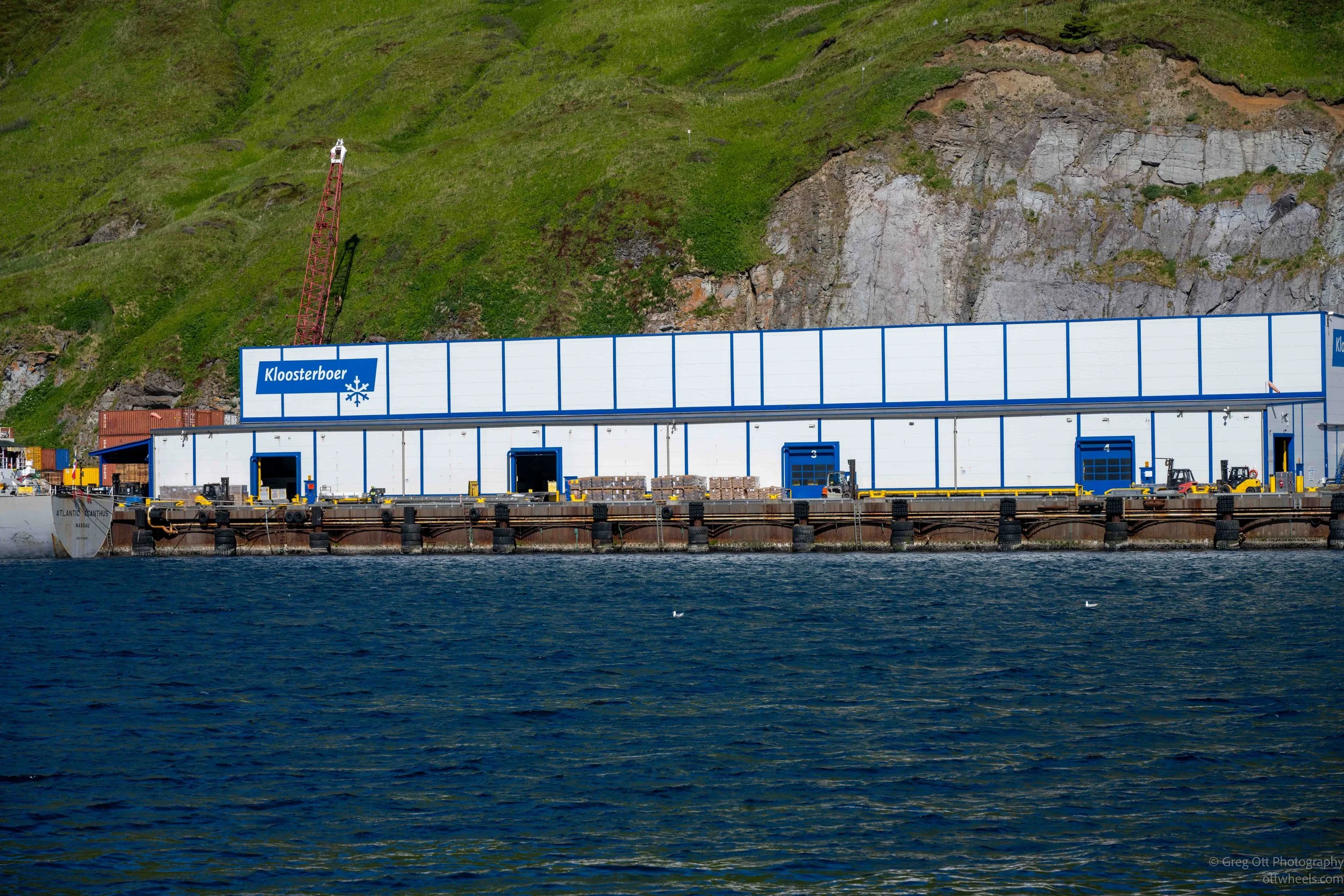
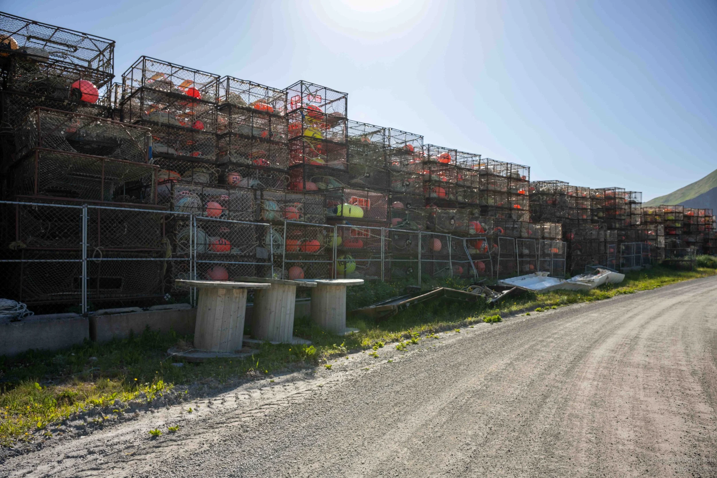
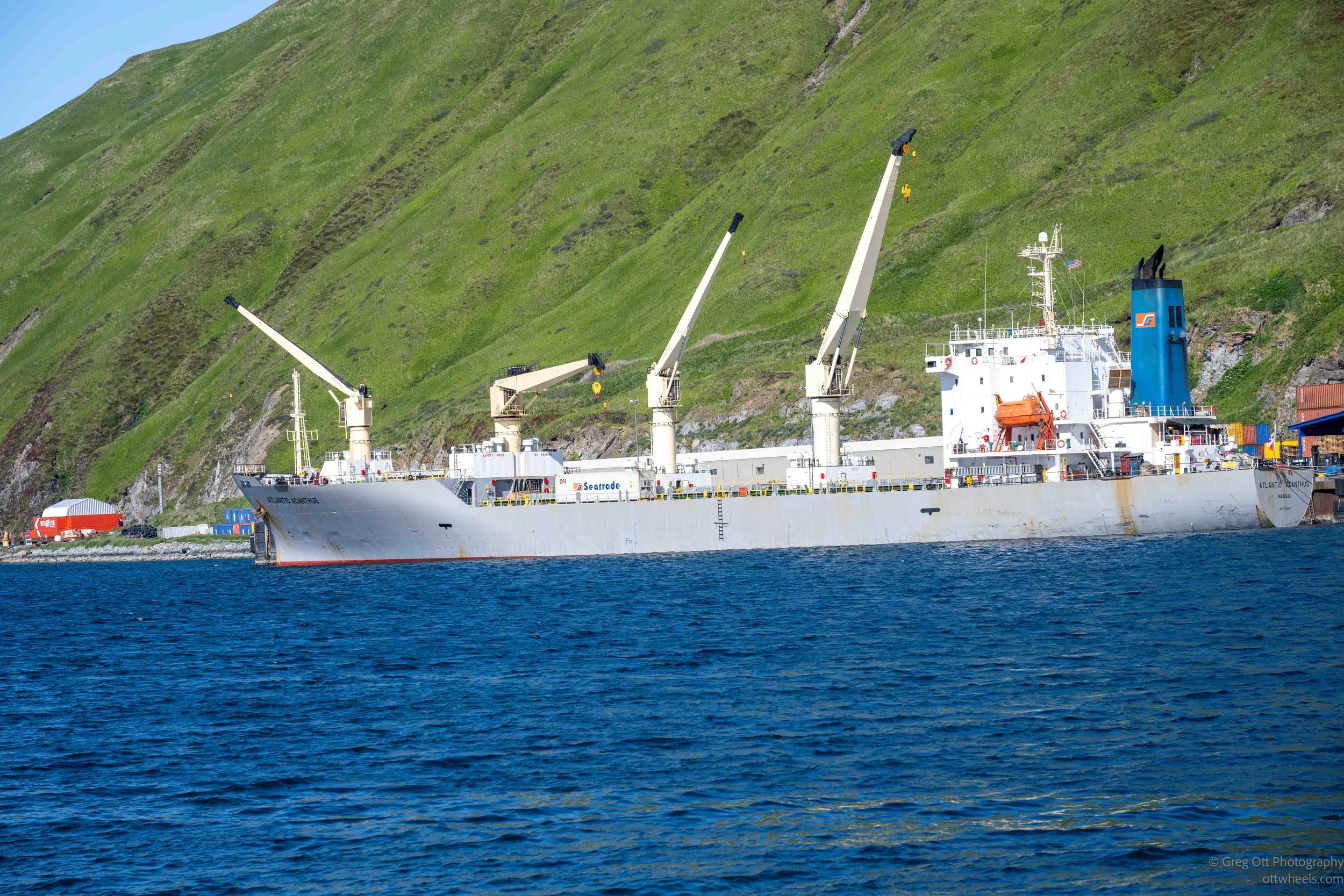
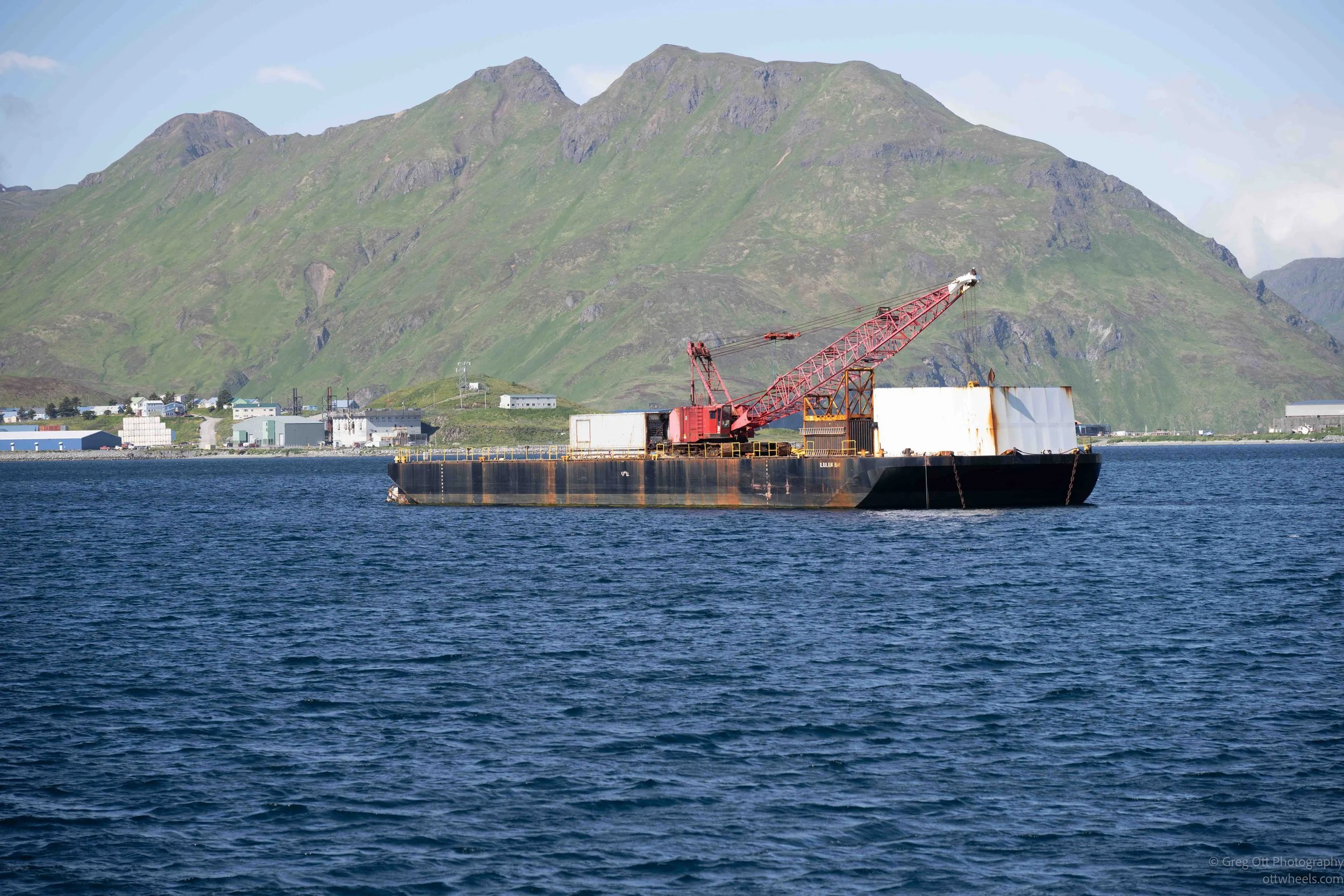
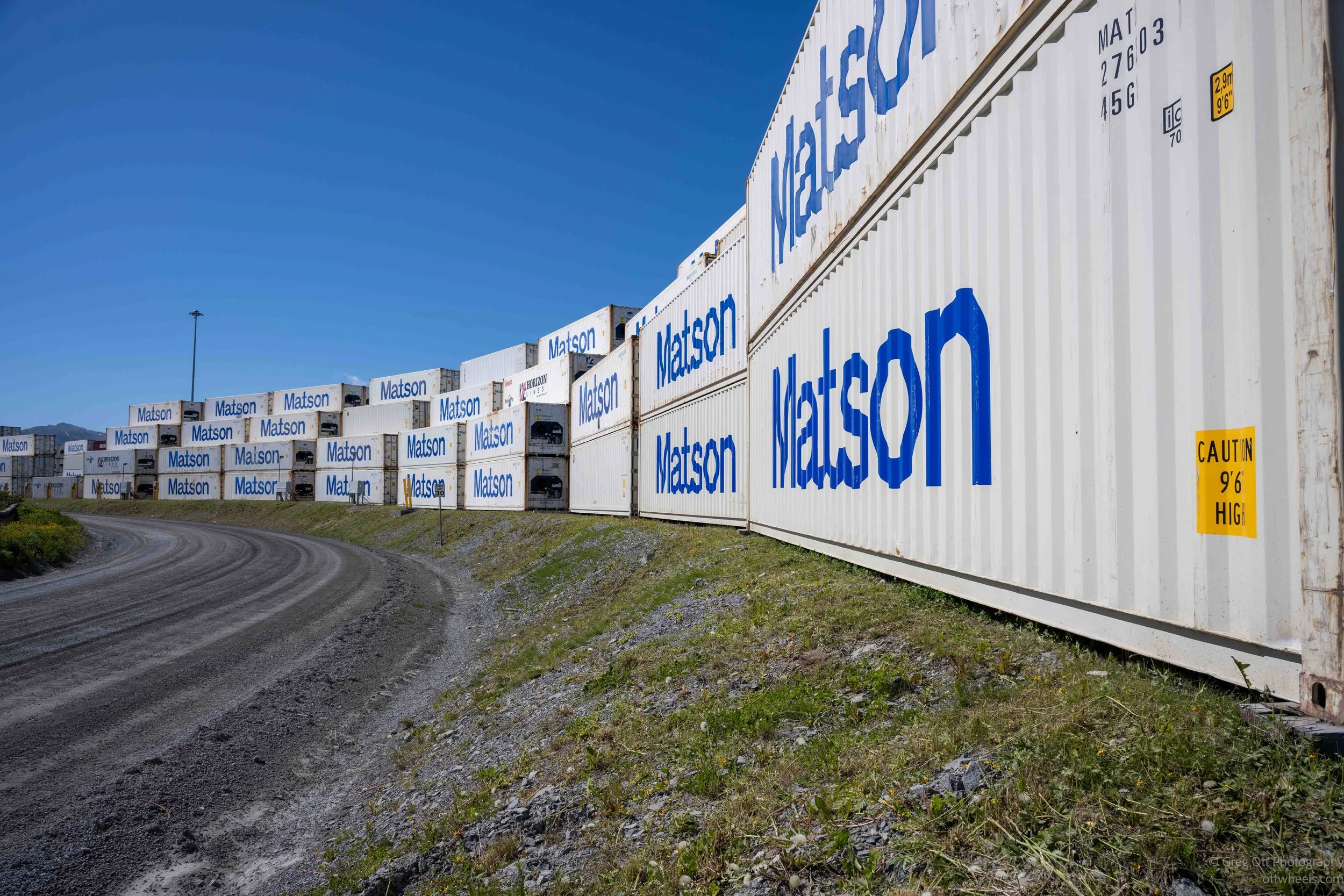
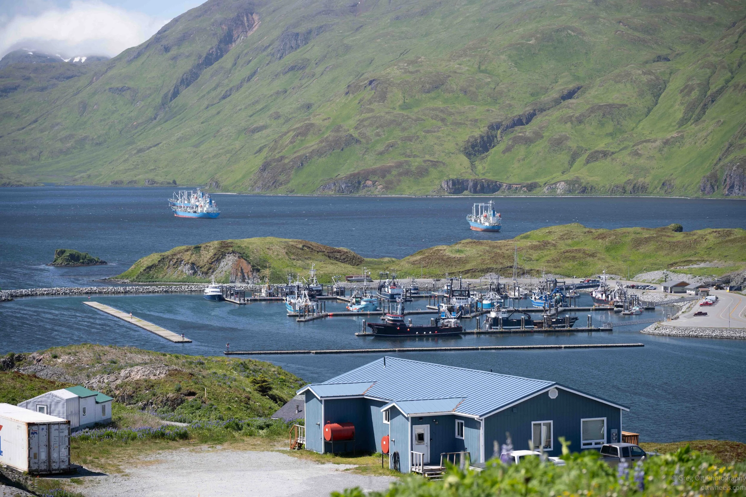
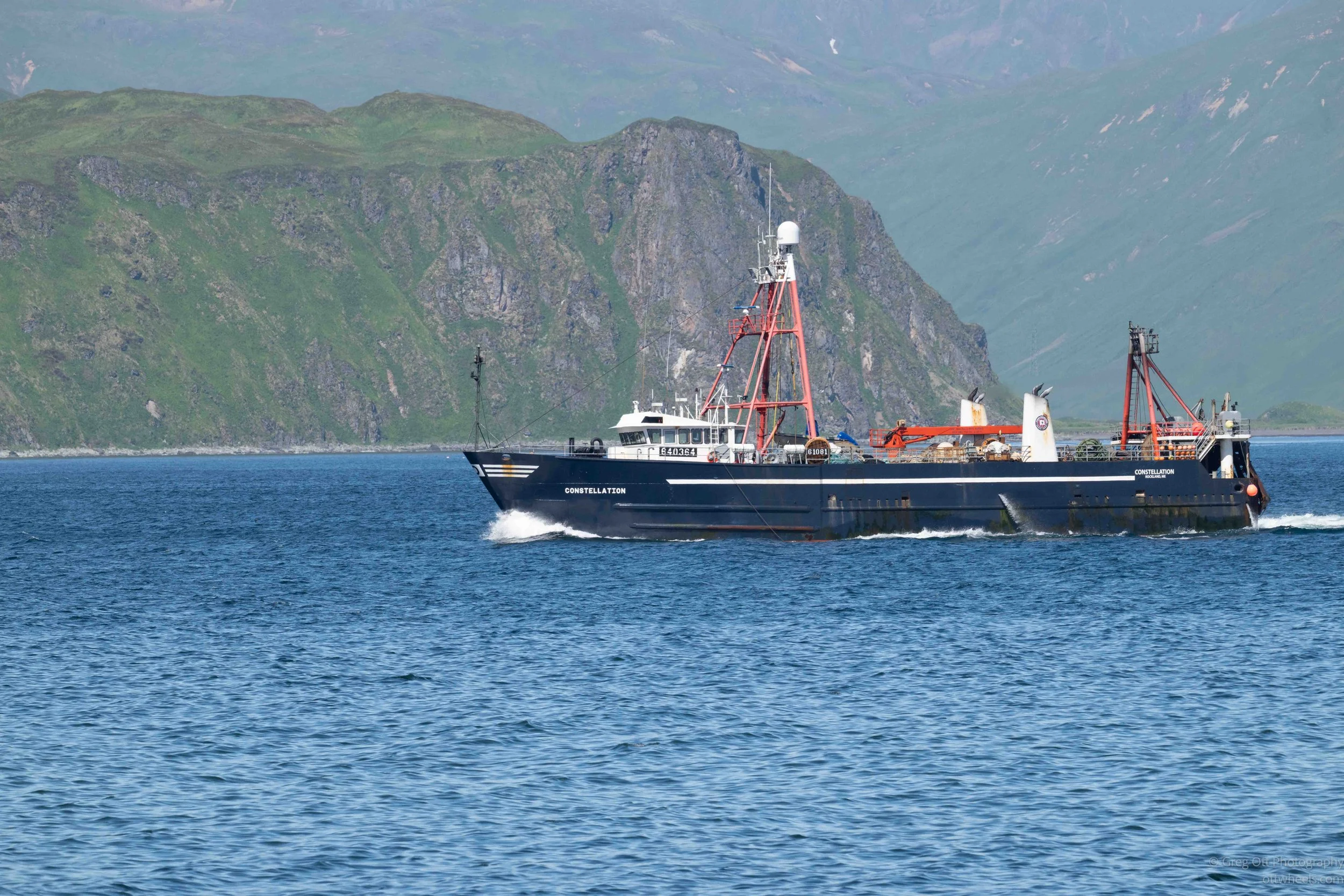
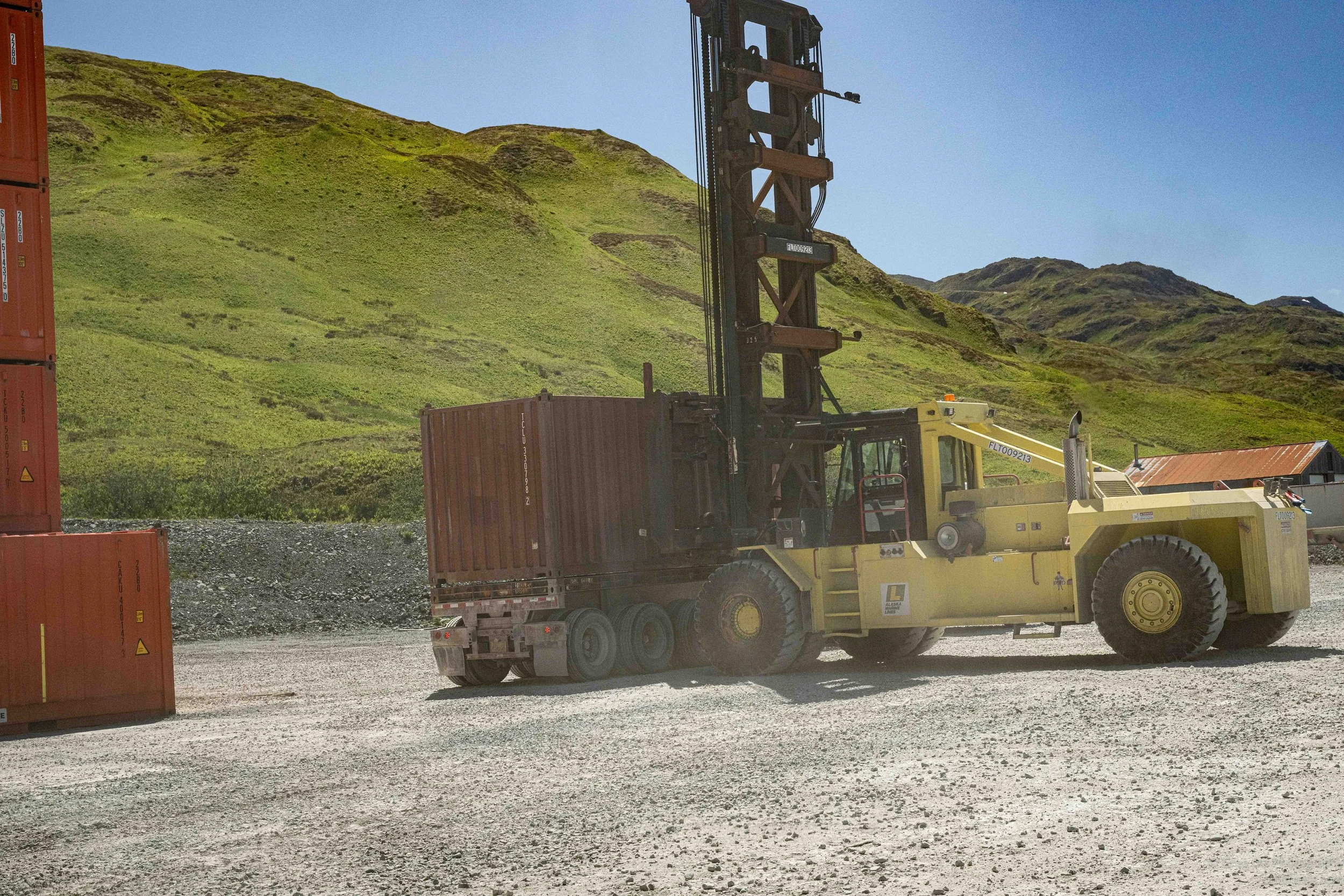
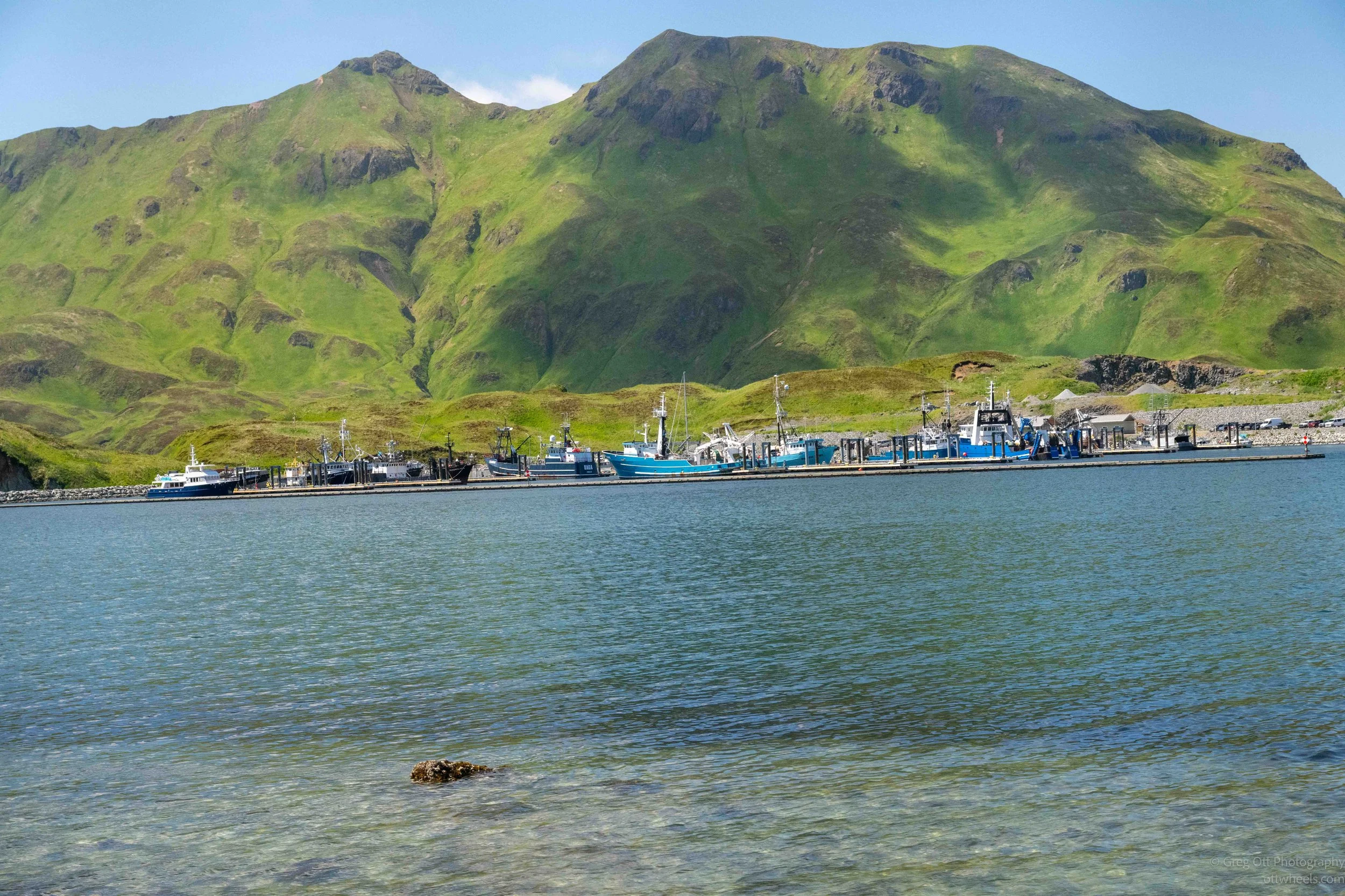
As Dennis drove me around the harbor, the scale slowly began to sink in. Fishing boats were everywhere. There were massive factory trawlers, crab boats, longliners, tenders, tugboats, barges, and smaller working vessels moving between them. Behind the boats were seafood-processing plants, fuel docks, machine shops, welding companies, warehouses, marine-repair facilities, and row after row of refrigerated shipping containers. In some areas, there were so many containers stacked together that they seemed to form their own industrial city.
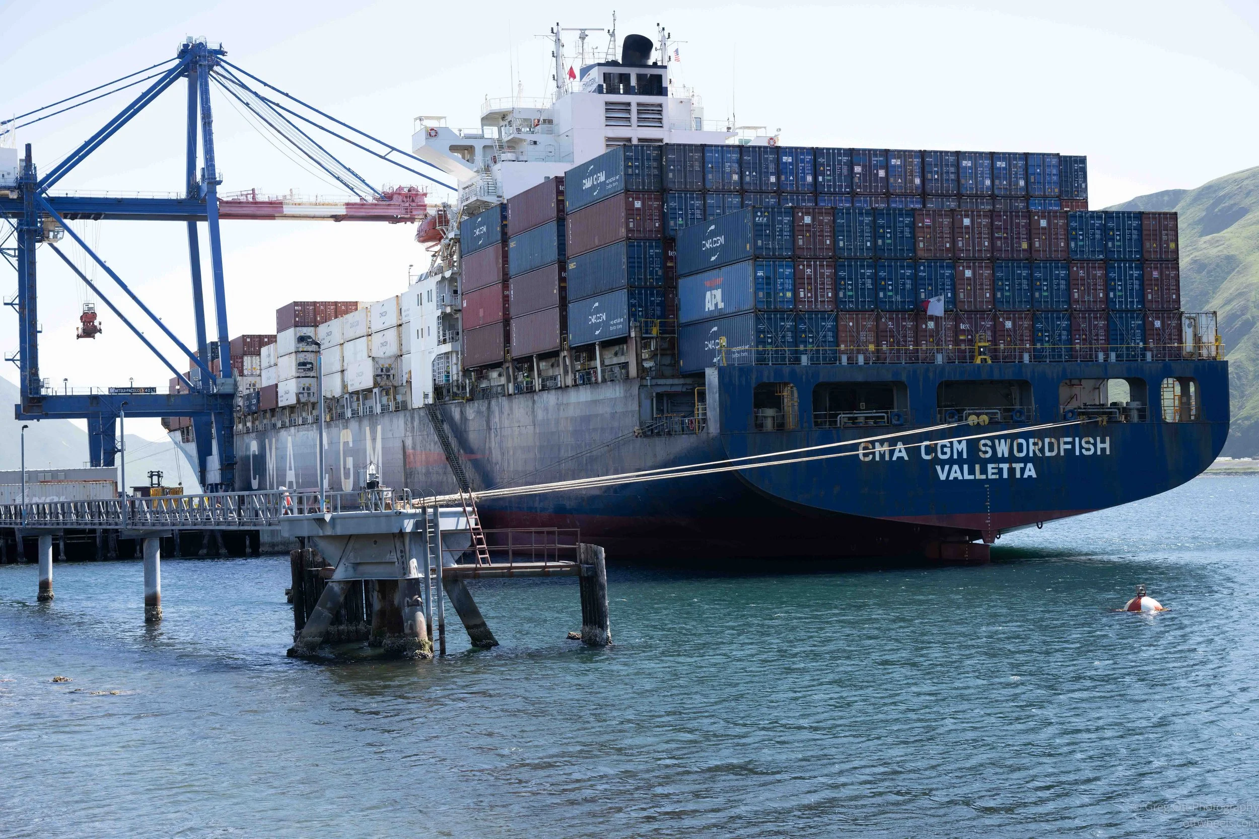
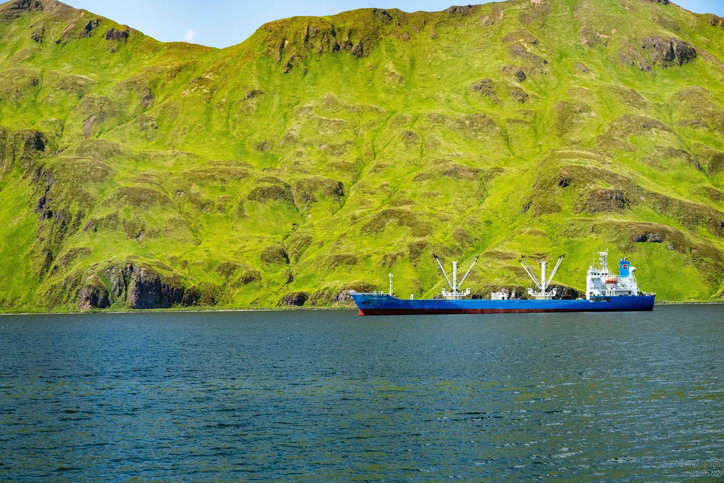
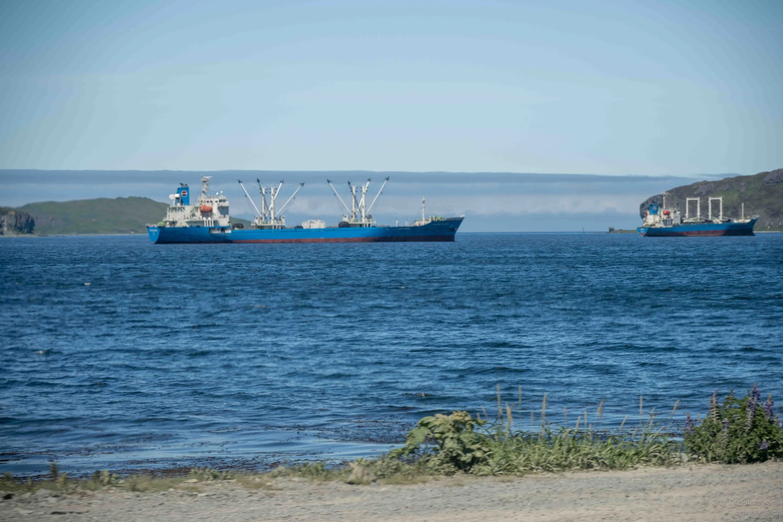
Another thing that surprised me was learning that Dutch Harbor isn't simply a fishing port. It is also one of Alaska's most important cargo transshipment ports and home to the westernmost container terminal in the United States. Dennis explained how containers move not only seafood but also cargo between western Alaska, the Lower 48, and international destinations in Asia and Europe. Looking across the harbor at thousands of containers, it became obvious that this wasn't just a place where fish are caught. It's one of the logistical crossroads of the North Pacific.
At first, the waterfront looked chaotic. Boats were coming and going, equipment was being moved, fish were being unloaded, and people were working in every direction. After Dennis began explaining what I was looking at, the harbor started to make sense. It was not chaos. It was an enormous industrial system spread across miles of shoreline, with each vessel, processing plant, repair company, and shipping container performing a specific role.
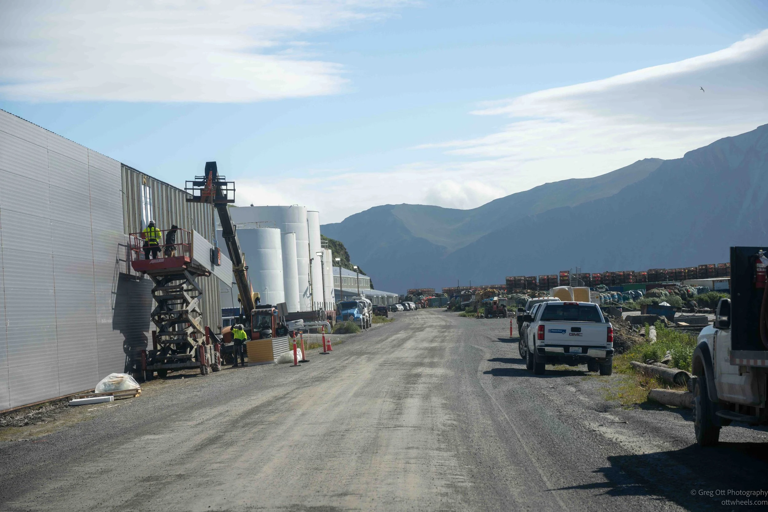
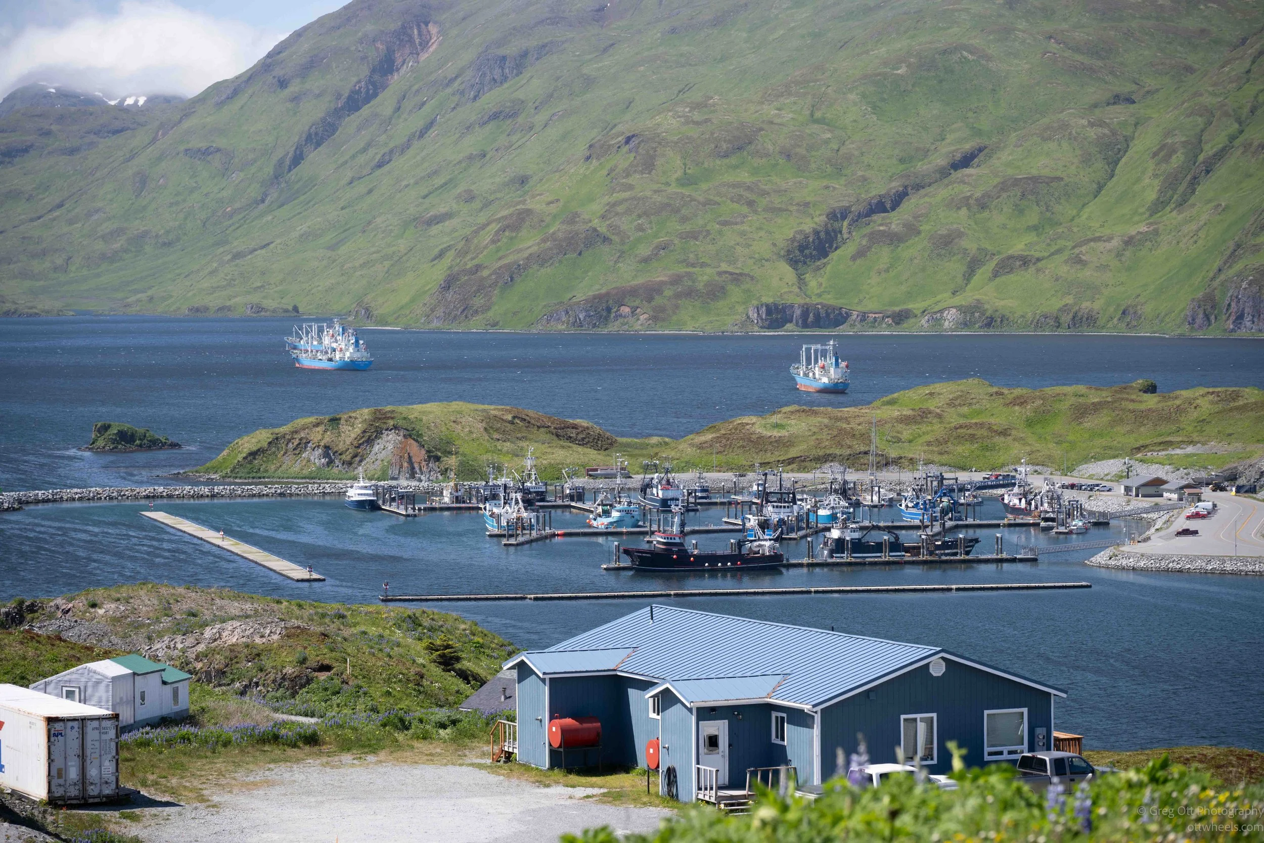
Dennis explained that the boats are designed around different fisheries and different ways of handling the catch. Some vessels catch, process, package, and freeze the fish while still at sea. Others bring their catch back to one of the large processing plants around Dutch Harbor. Smaller boats may transfer fish to larger vessels, while tenders collect catches from fishing boats and transport them to shore.
Some of the equipment was unlike anything I had seen before. Dennis described fishing gear that moves along the ocean bottom using large, soft wheels that look almost inflated. The wheels allow the equipment to follow the contours of the seafloor. Every fishery seemed to have its own vessels, equipment, regulations, and specialized way of operating.
The crab boats were the vessels most familiar to me, largely because of Deadliest Catch. Dennis said the first two seasons of the program were much closer to the reality of life aboard the boats. The crews worked, the cameras followed them, and whatever happened became the show. As the series became more successful, Hollywood became more involved, and the episodes became increasingly scripted.
Dennis pointed across one of the bays toward the F/V Saga, one of the boats featured on the program. It was sitting quietly in the water and was apparently for sale. I suggested that Dennis buy it and convert it into a tour boat. He laughed, although after spending the day listening to his stories, I thought he could probably keep every seat filled.
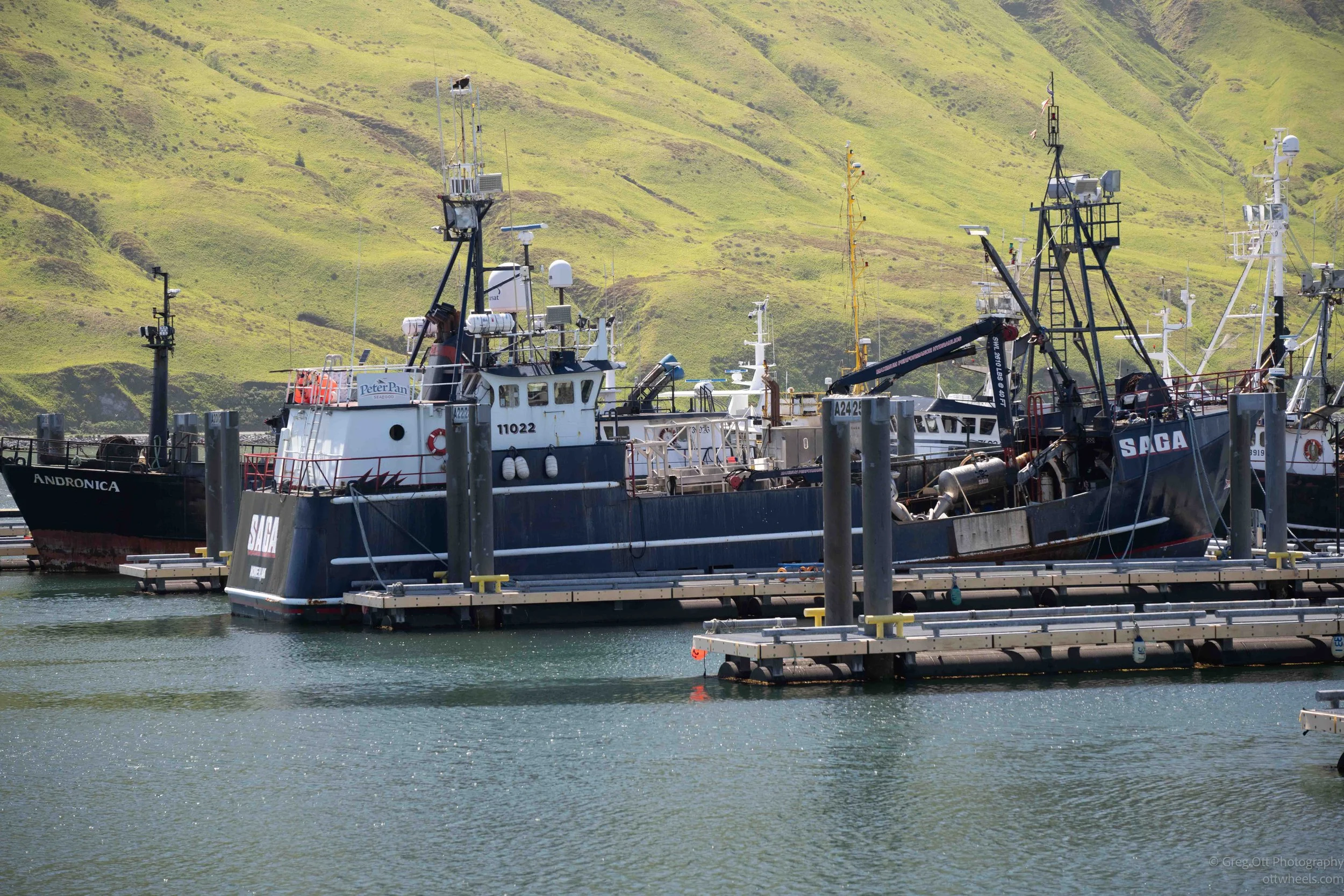
The fishing boats are only the most visible part of the industry. Supporting them is an entire network of companies that most visitors would never think about. There are businesses that rebuild diesel engines, repair electronics, fabricate steel, weld broken equipment, tow disabled vessels, haul boats out of the water, and perform salvage operations when something goes wrong at sea.
Dennis told me about tugboats used to bring disabled fishing vessels safely back into port for repairs. In waters as rough and unpredictable as those surrounding the Aleutian Islands, recovering a damaged boat can become a major operation. Salvage and repair companies have to be prepared to respond quickly because a disabled vessel can become a much larger problem in a very short amount of time.
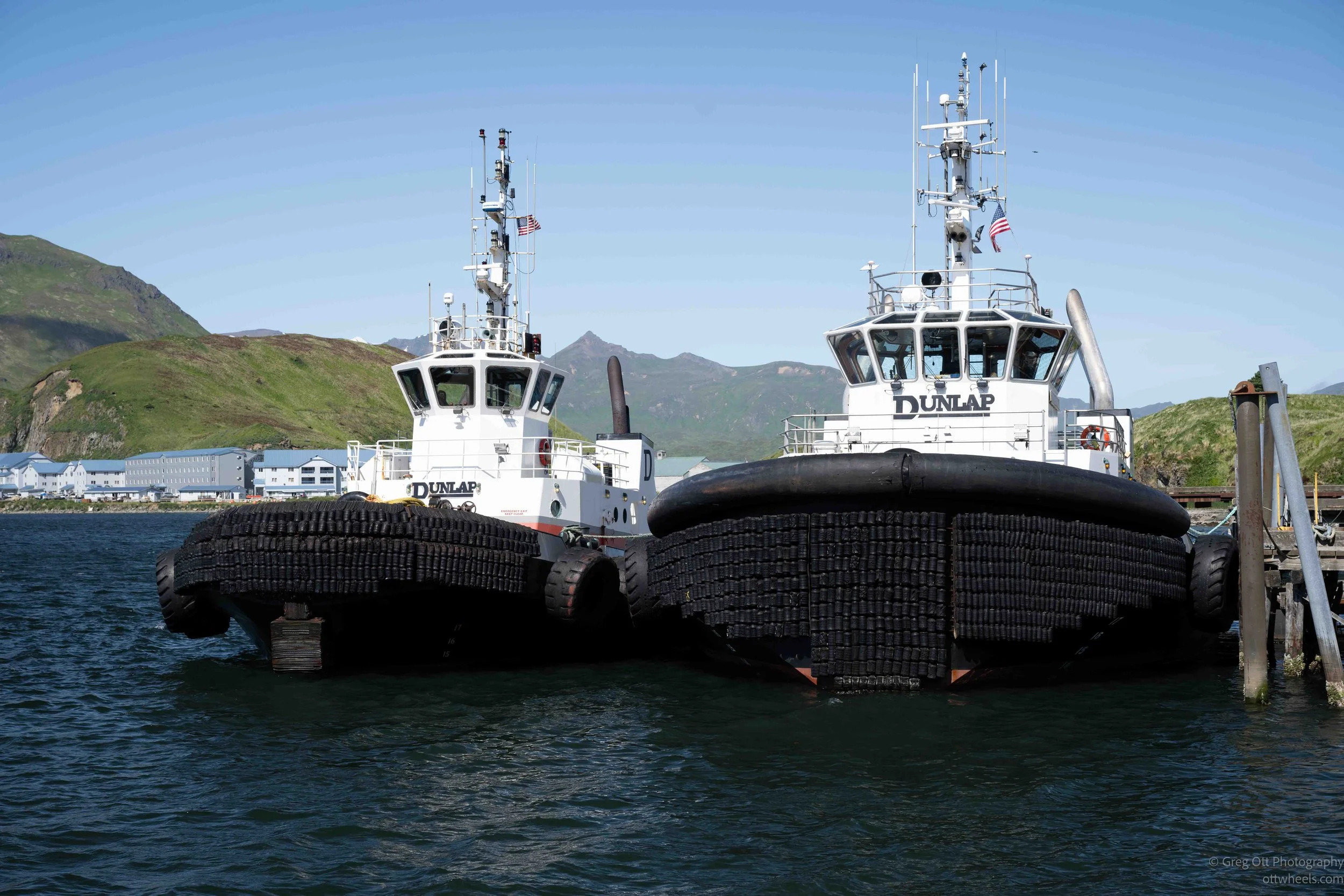
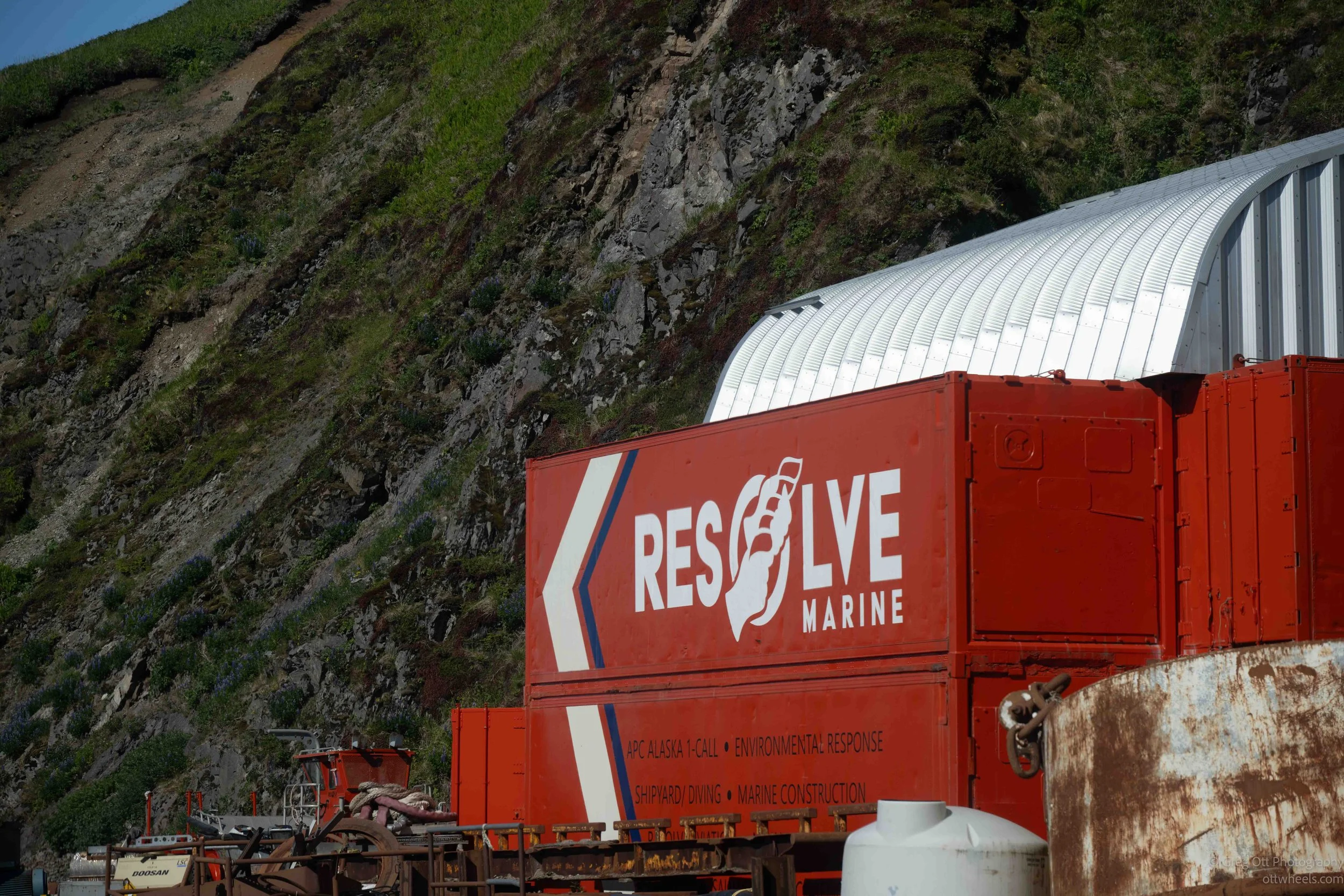
The industry also employs far more than fishermen. Many of the people I had seen at the airport and around the hotel were connected to fishing in some way. They were engineers, cooks, mechanics, captains, processors, cleanup crews, electricians, welders, office workers, technicians, and people arriving to work aboard the boats. Dutch Harbor may feel isolated, but people are constantly moving in and out because the industry requires an enormous and highly skilled workforce.
The seafood-processing plants themselves operate on a scale that is difficult to appreciate until you see them. Boats unload directly into the plants, where the fish are cleaned, processed, frozen, packaged, and prepared for shipment. Other vessels process the fish at sea and arrive with finished products already frozen and ready to be transferred into refrigerated containers.
What surprised me most was how little of the catch is wasted. Dennis explained that processors are required by law to use virtually everything. The portions people eat become frozen fillets, crab sections, and other seafood products. The bones, skin, and remaining material are not simply thrown away. They are dried and processed into fish meal, oils, fertilizers, animal feed, and other products. The finished fish meal is loaded into dry shipping containers and transported off the island. It's surprising that the air doesn't smell. They must have filtration systems inside the buildings. At this scale, even the leftovers become part of the economy.
The refrigerated containers were everywhere because getting the finished seafood off the island is another major part of the operation. Product has to remain frozen as it moves from the processing plants to cargo ships and eventually to markets around the world. The huge number of containers gave me a much better sense of the volume of seafood passing through Dutch Harbor than any statistic could have.
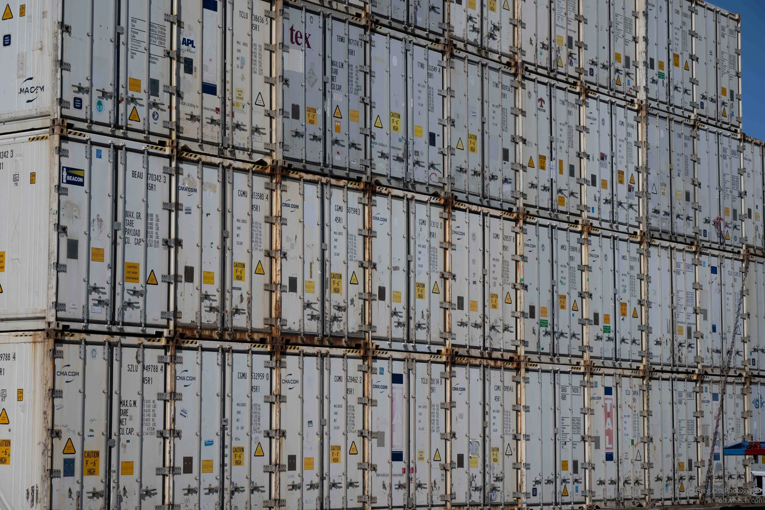
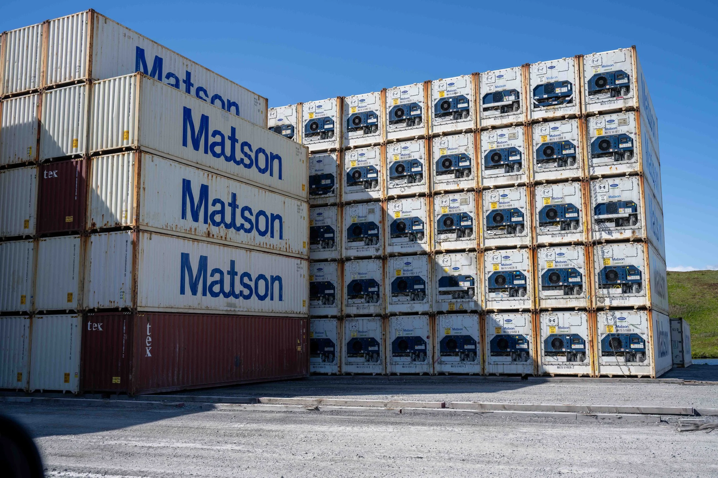
The fishing industry also helps pay for much of the community. Revenue and taxes generated by the industry support roads, schools, utilities, public buildings, and many of the community projects Dennis pointed out during the tour. The city and the fishing industry are so closely connected that it is difficult to separate one from the other.
That relationship extends to the island's water supply. Seafood processing requires enormous amounts of fresh water, making the industry the community's largest water user. Dennis explained that usage has to be carefully monitored so the system is not pushed beyond what the island can provide. Dutch Harbor may be surrounded by water, but producing and managing enough fresh water for both the community and the processing plants is a much different problem.
One of the more interesting connections Dennis made was between the modern fishing industry and the history of the Unangax̂ people. Before World War II, several separate Unangax̂ communities lived on and around the islands. One of those communities had already developed relationships with American businesses and government agencies through fishing and other commercial activity. The others had remained more connected to a traditional way of life.
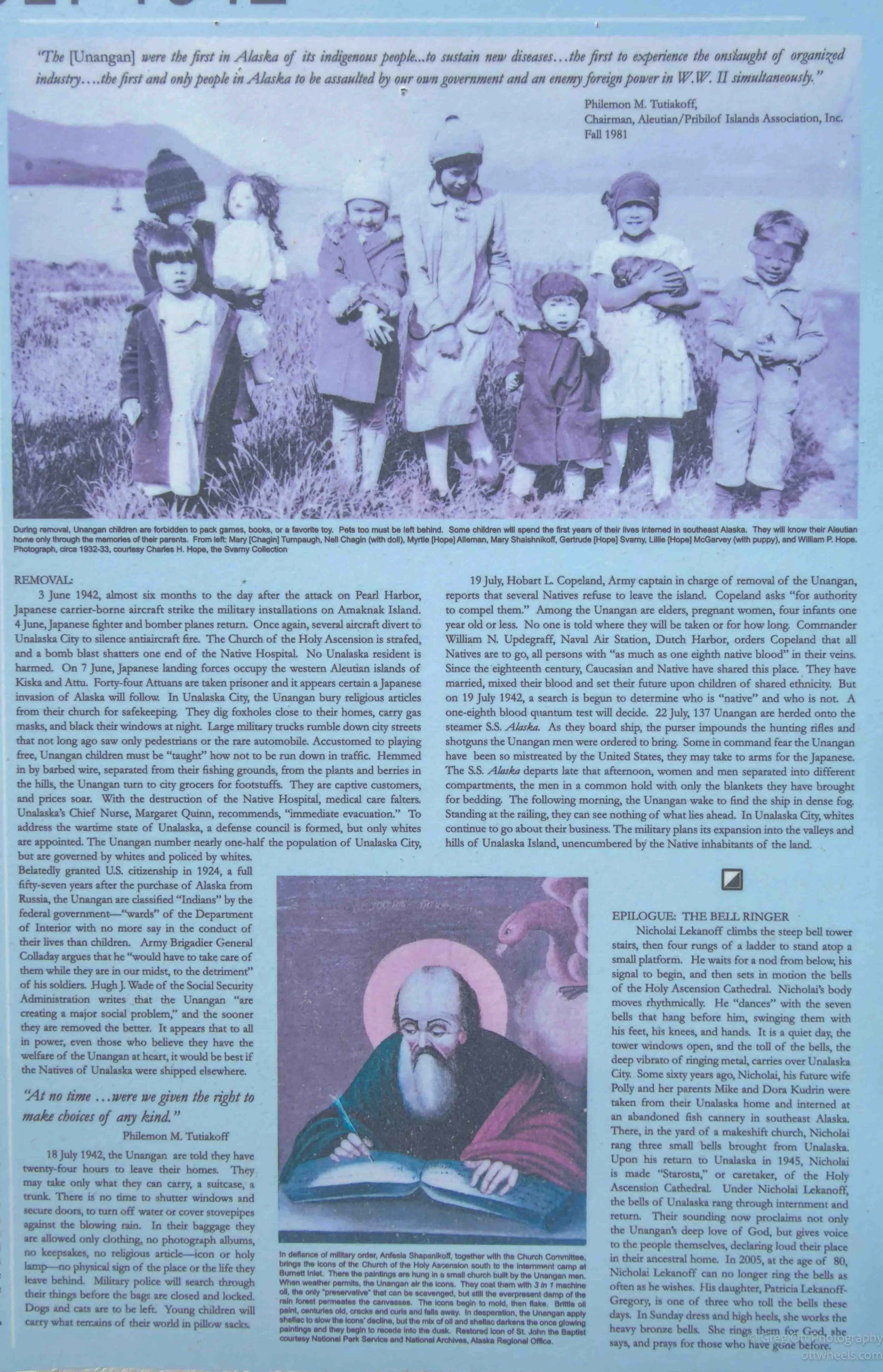
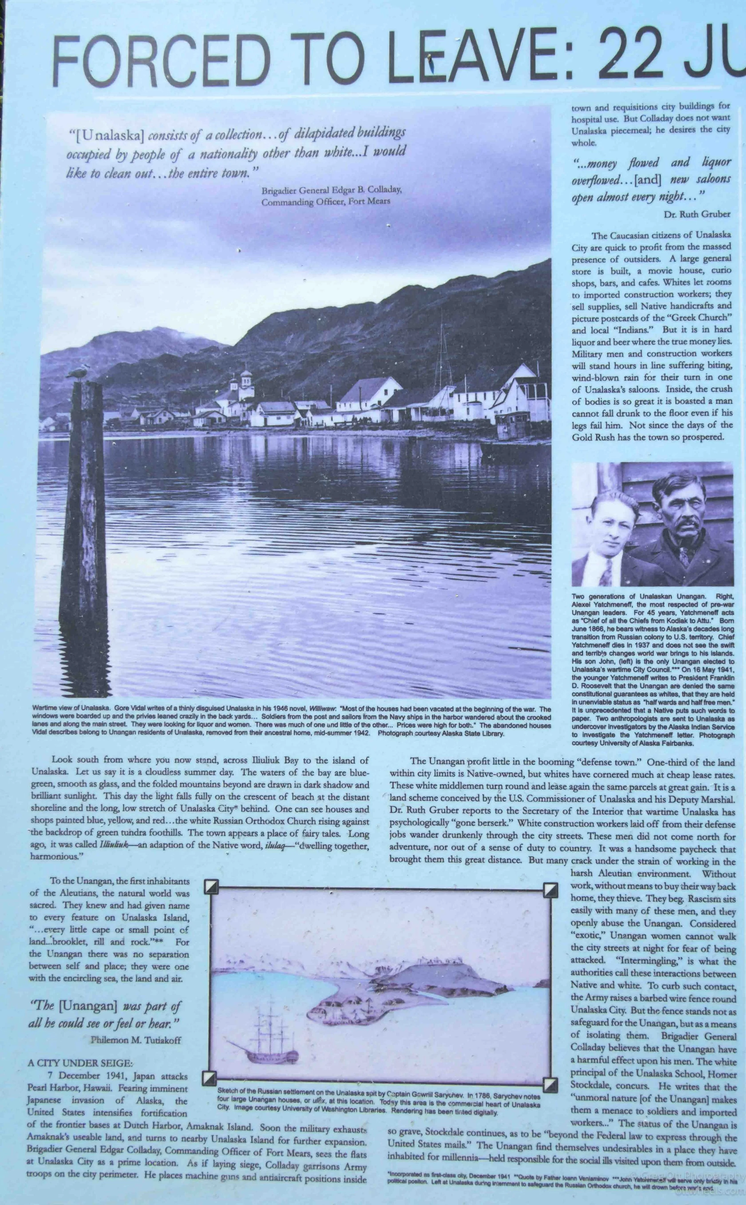
Everything changed after the Japanese bombed Dutch Harbor in 1942. The residents of the villages were removed from the islands, and many were sent to poorly prepared locations in Southeast Alaska. Some people died while they were away. Others never returned. Several of the original communities were never re-established, and families from different villages eventually came together in Unalaska.
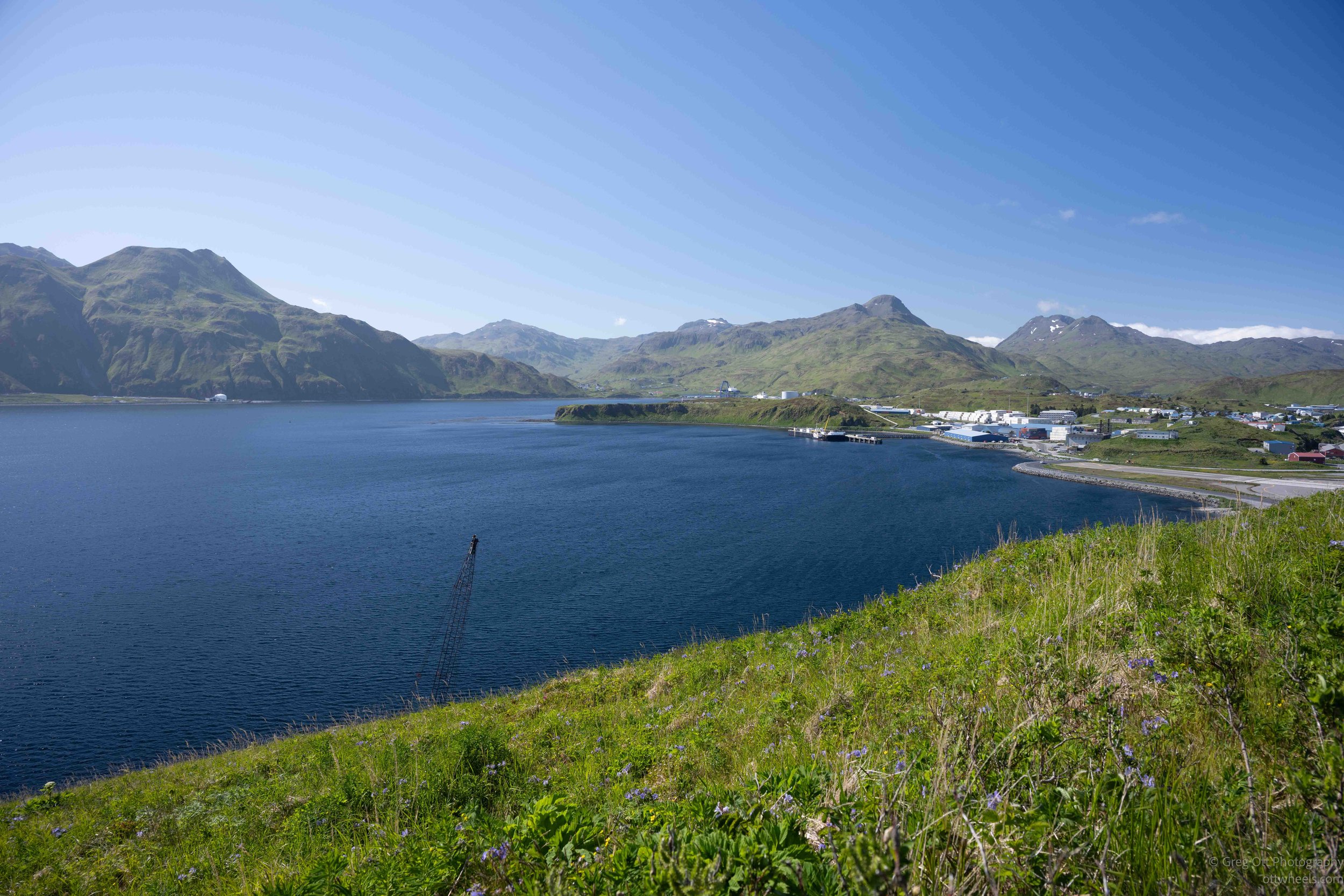
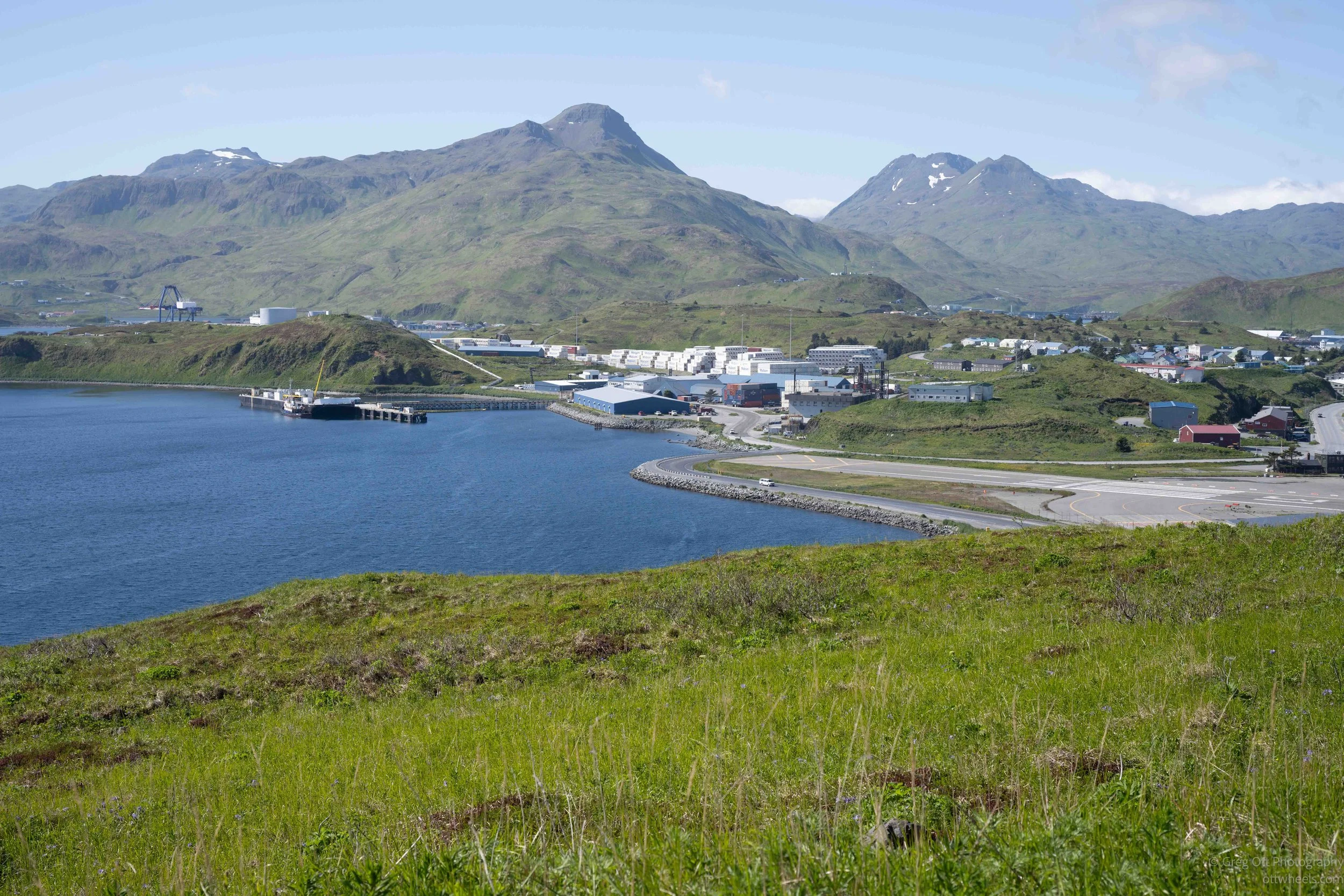
Dennis explained that the different experiences of those communities became one of their strengths. The people from the village that had already worked with outside businesses, government agencies, and the commercial fishing industry understood more about how those systems operated. When the communities came together, they helped people from the other villages adjust to an economy that was changing rapidly.
Years later, the creation of the Ounalashka Corporation gave the community another way to work together, manage its land, and participate directly in the island's economic development. Dennis and his family became deeply involved in that process and in the expansion of the infrastructure needed to support the fishing industry.
The harbor, roads, utilities, water systems, processing plants, and businesses I was seeing did not appear overnight. They were built over decades by people who had lived through war, forced relocation, the loss of their villages, and a complete transformation of the local economy.
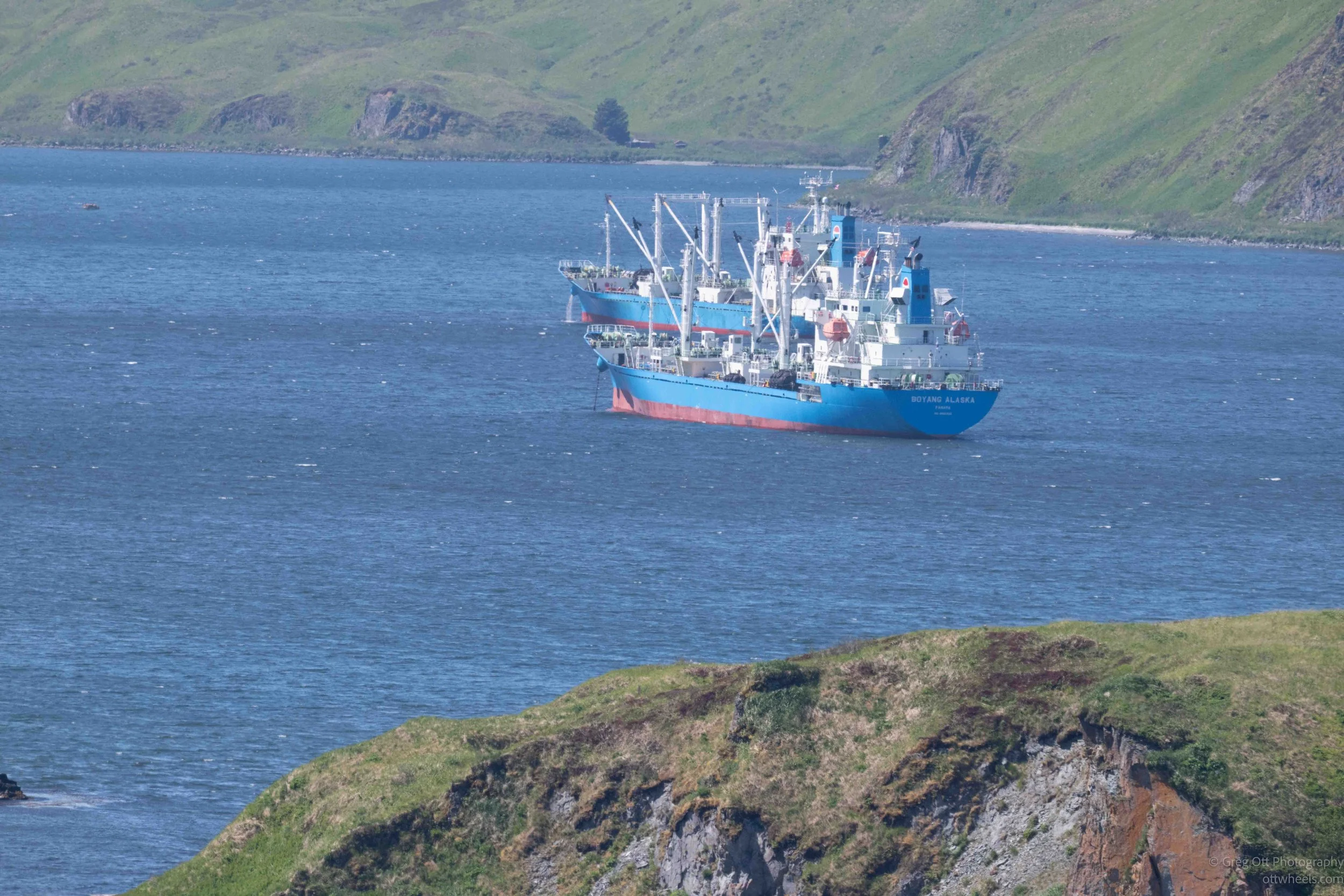
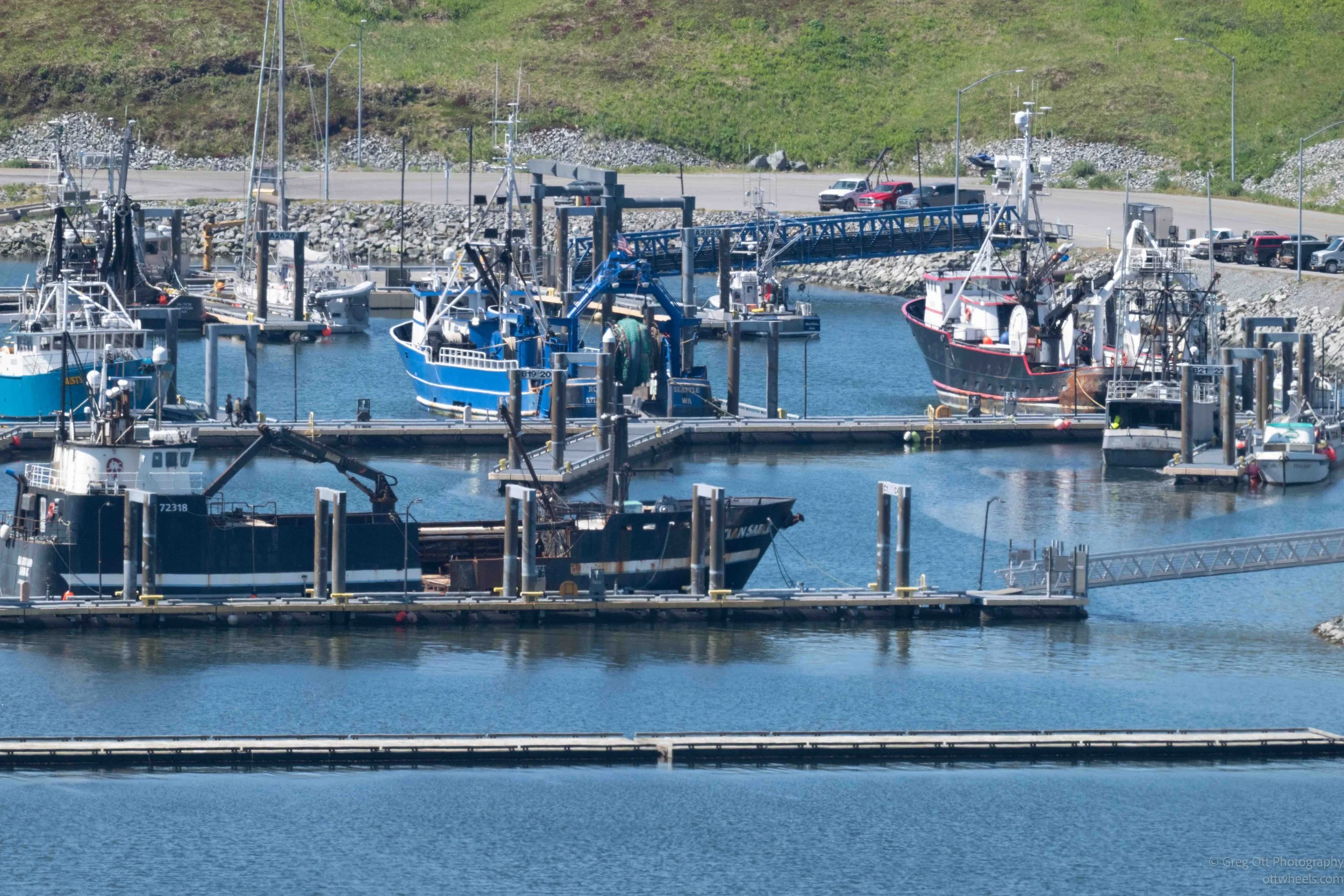
Listening to Dennis, I realized that Dutch Harbor did not simply grow because it happened to be a good place to catch fish. It grew because generations of people adapted to extraordinary changes and learned how to use the fishing industry to rebuild their community.
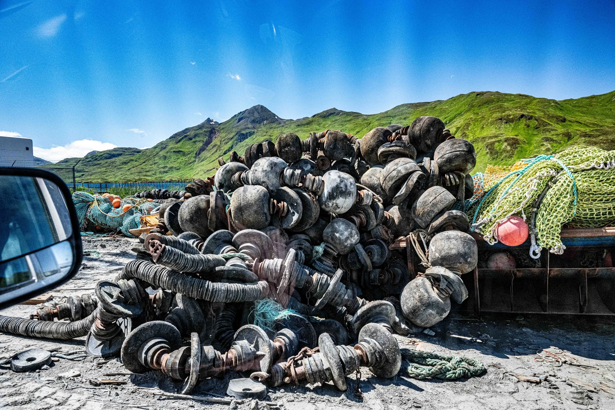
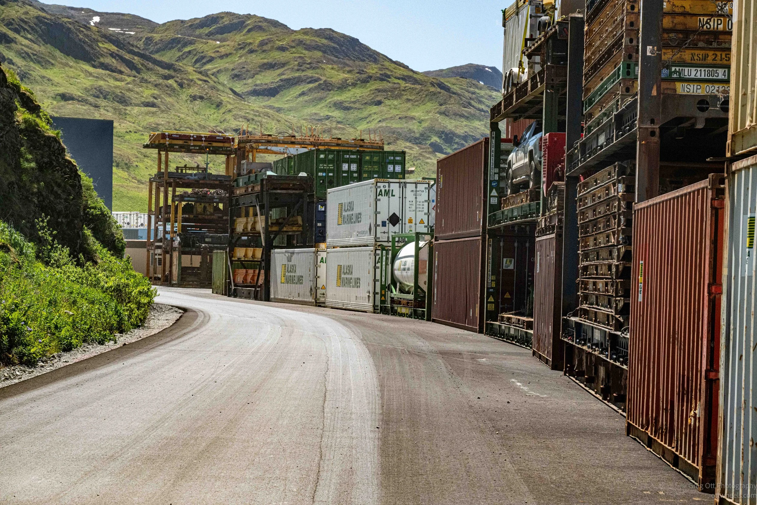
By the time we left the harbor, one thing had become clear. Dutch Harbor is not simply a town with a fishing industry. It is a community built around one.
World War II: Walking Through History
Before coming to Unalaska, I had only recently learned that the Japanese had bombed Dutch Harbor during World War II. Beyond that, I didn't know much. Dennis changed that.
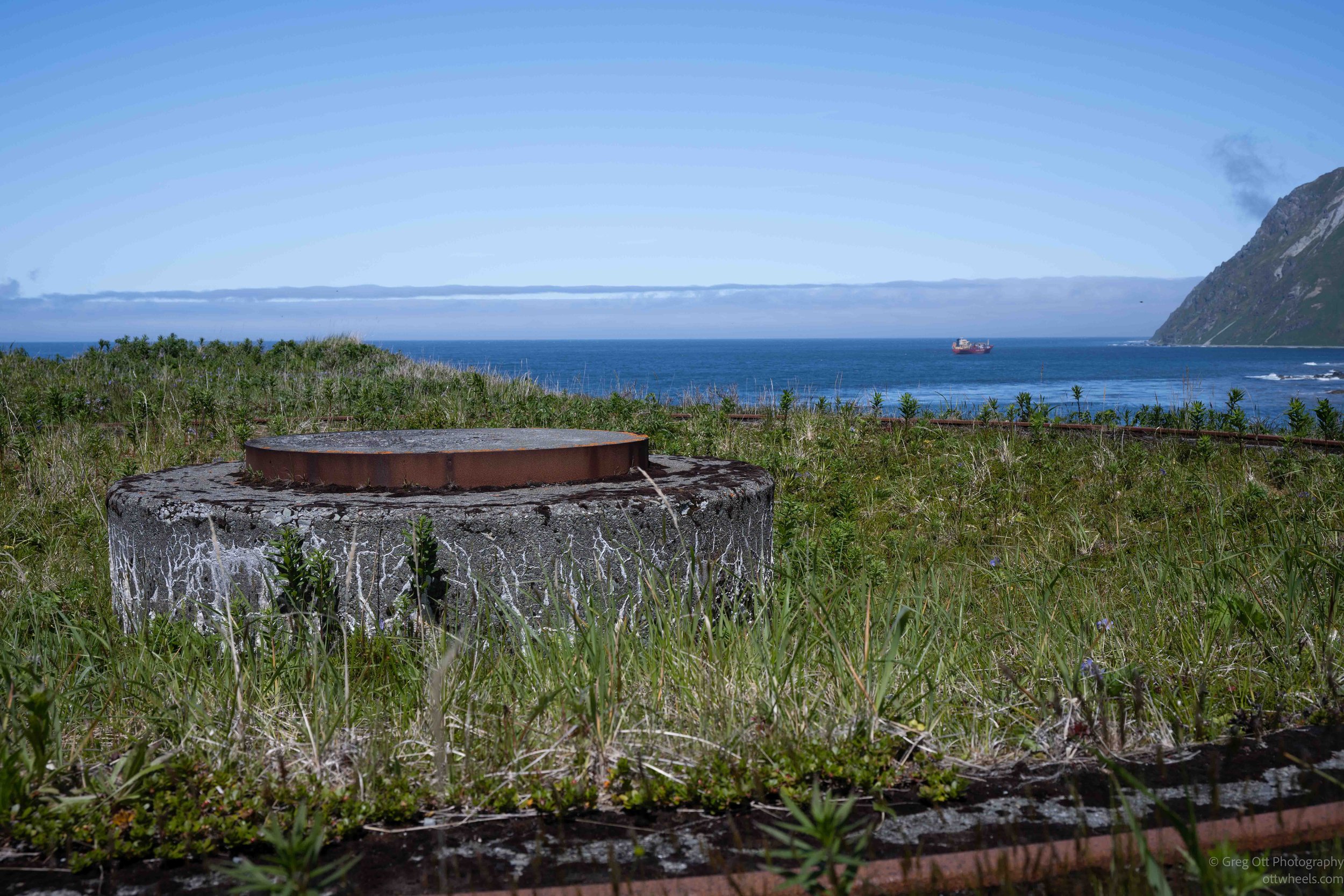
As we drove around the island, World War II wasn't just another topic—it became another major themes of the tour. Every few miles another bunker, gun position, military road, or abandoned building appeared. Dennis would pull out his phone and open the Alaska Digital Archives, showing me photographs taken from the exact spot where we were standing more than eighty years ago. It was an incredibly effective way to experience history. Instead of trying to imagine what the island looked like during the war, I could compare the old photographs with what I was seeing through the windshield.
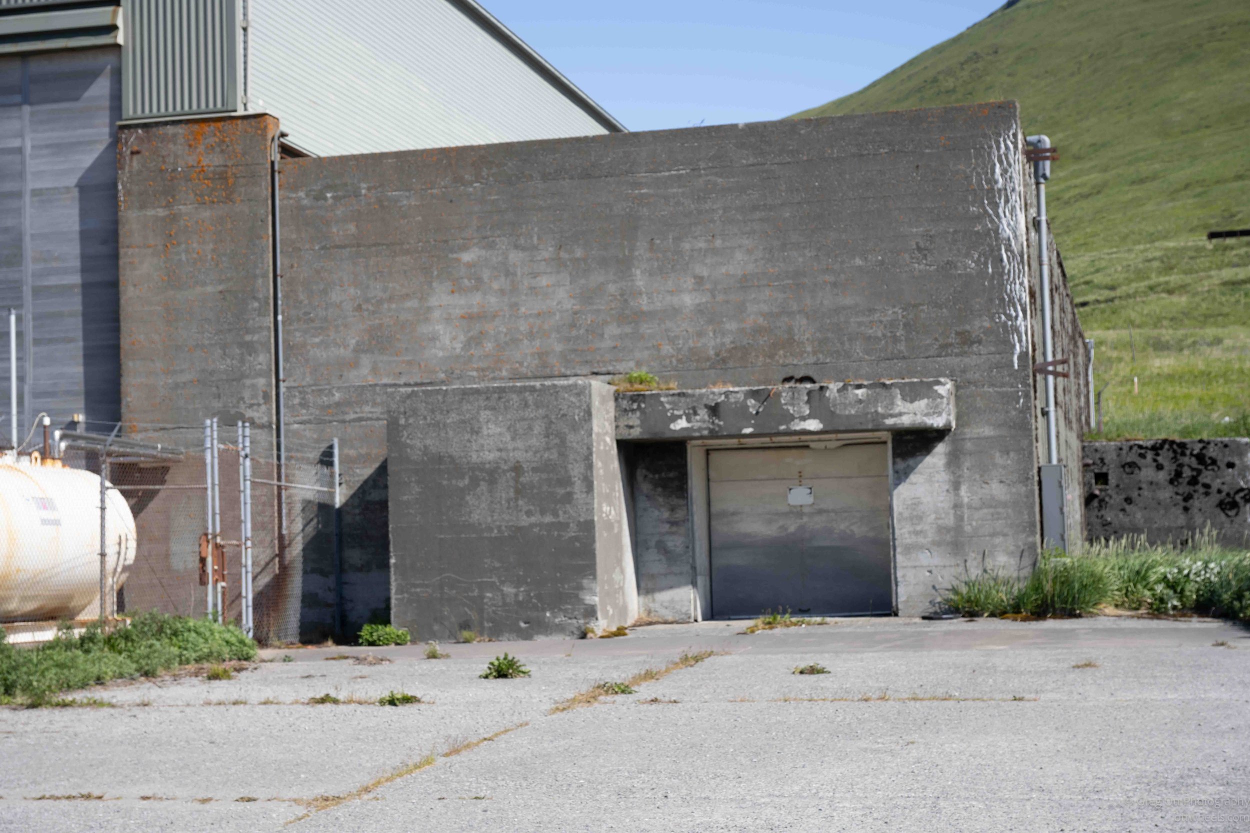
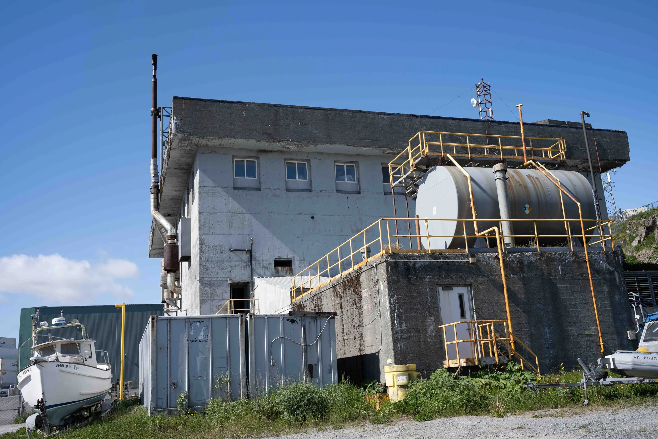
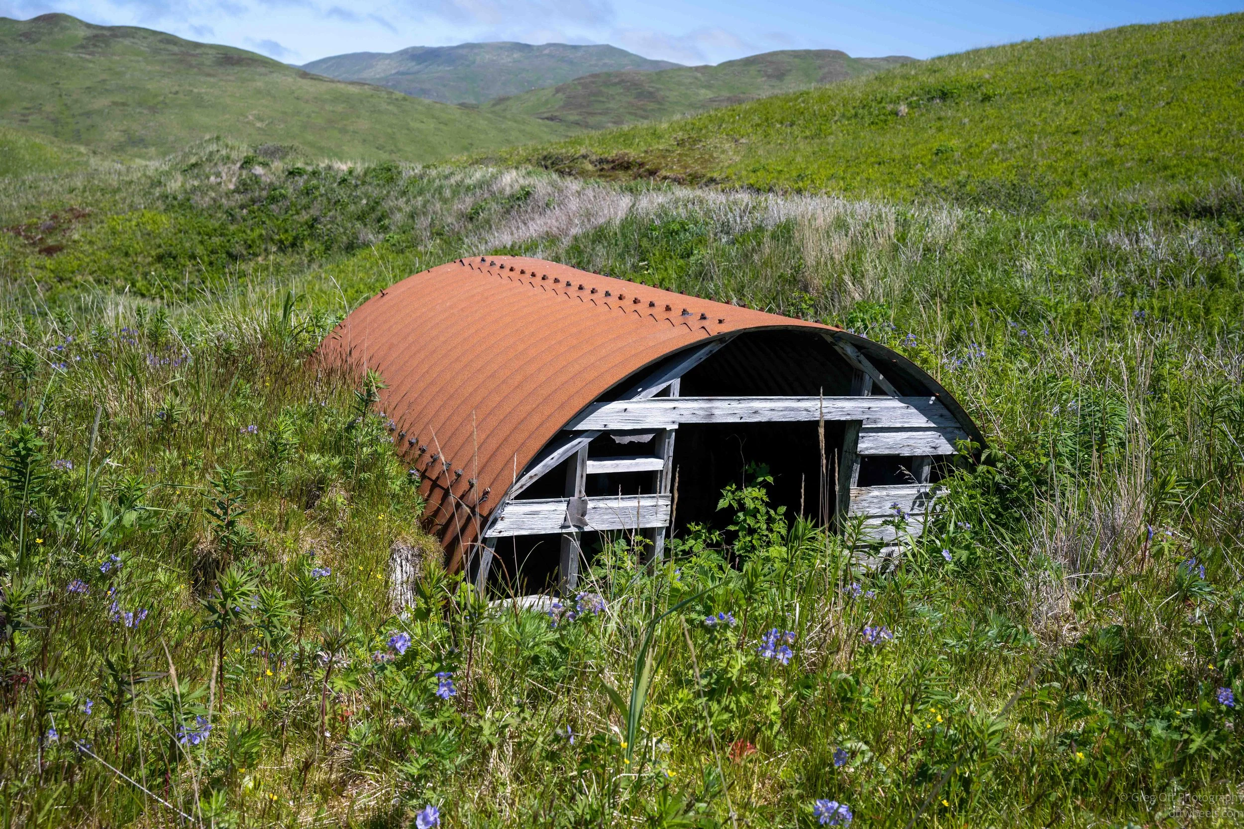
One stop in particular caught my attention. Locals have long referred to one abandoned building as "the hospital." Looking at it today, that seems like a reasonable assumption. Dennis, however, isn't convinced that's what it was.
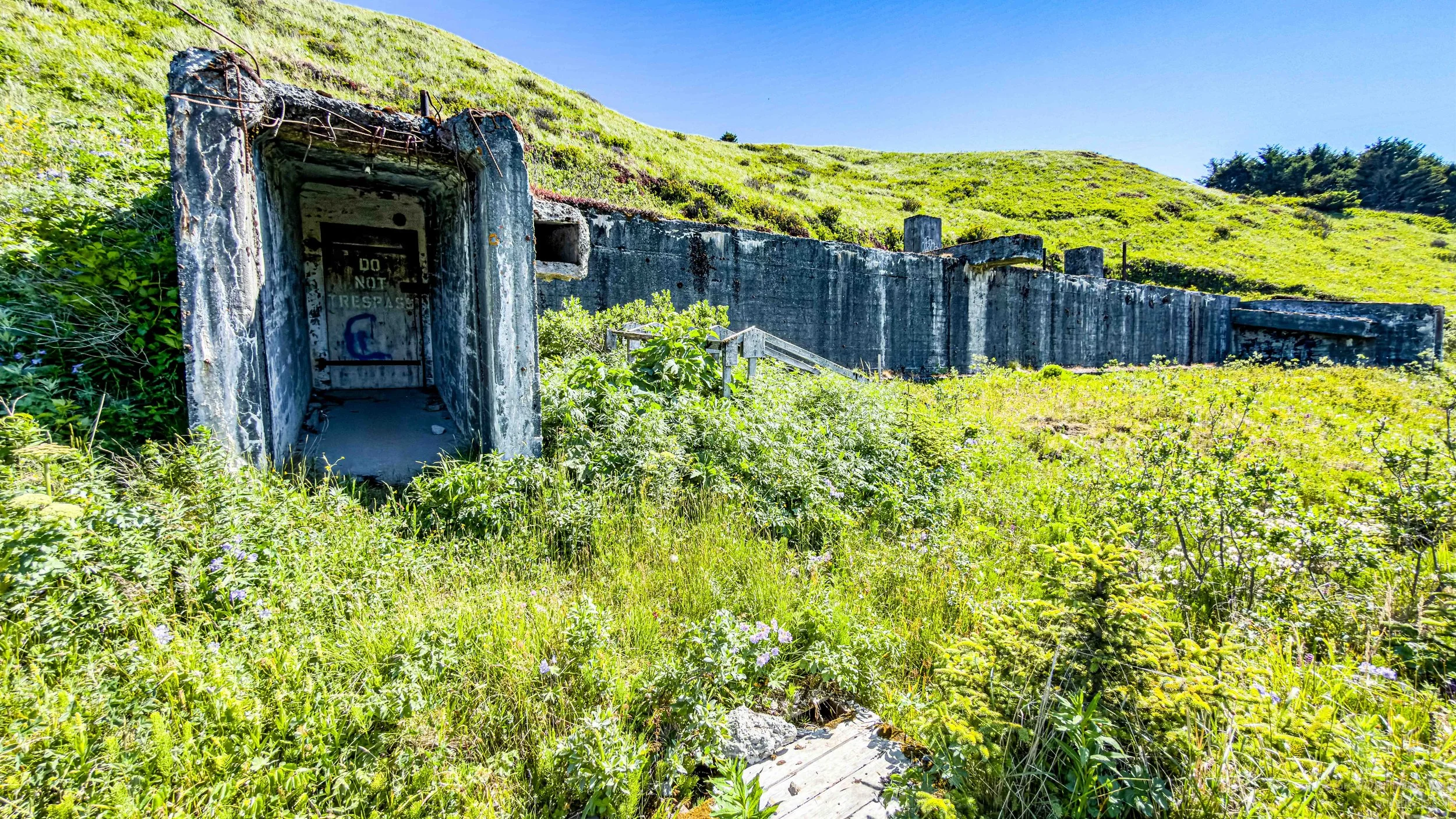
He explained that the actual hospital complex was located farther down the hill and contained the facilities you would expect in a working military hospital. The building everyone calls the hospital is much smaller. Dennis believes it may have served as the morgue instead. His reasoning made perfect sense. If the Japanese invasion everyone feared had actually occurred, casualties could have been substantial, and the military would have needed a dedicated facility separate from the hospital itself. It was one of those moments where local knowledge challenged a story that had simply been repeated for years.
Throughout the tour, Dennis showed me more photographs from the Alaska Digital Archives that brought these places to life. Soldiers stood where I was standing. Military trucks occupied roads that are now quiet. Buildings that had long since disappeared suddenly reappeared on the screen of his phone. Instead of looking at old photographs in a museum, I was looking at them while standing in the exact place where they had been taken.
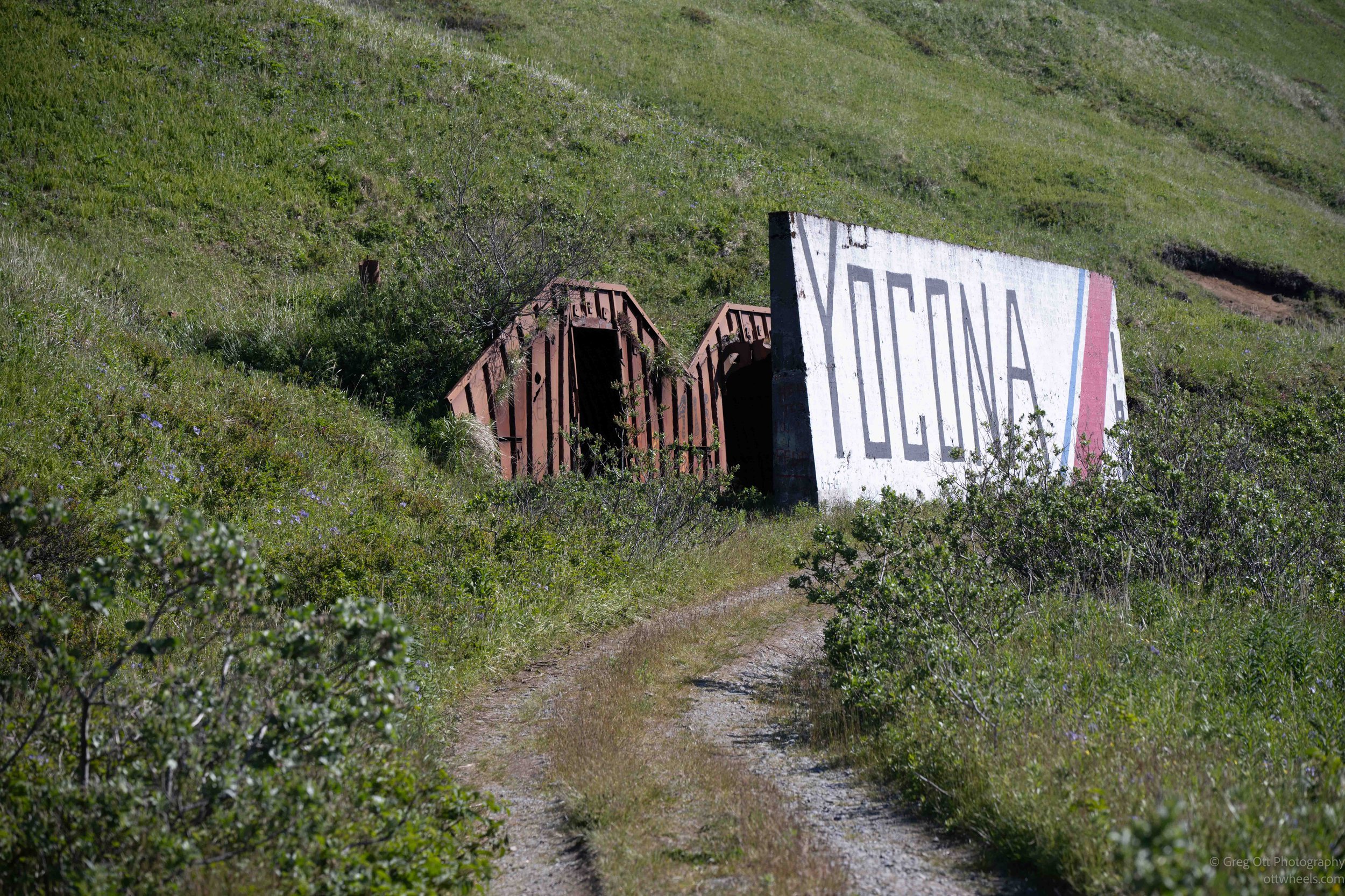
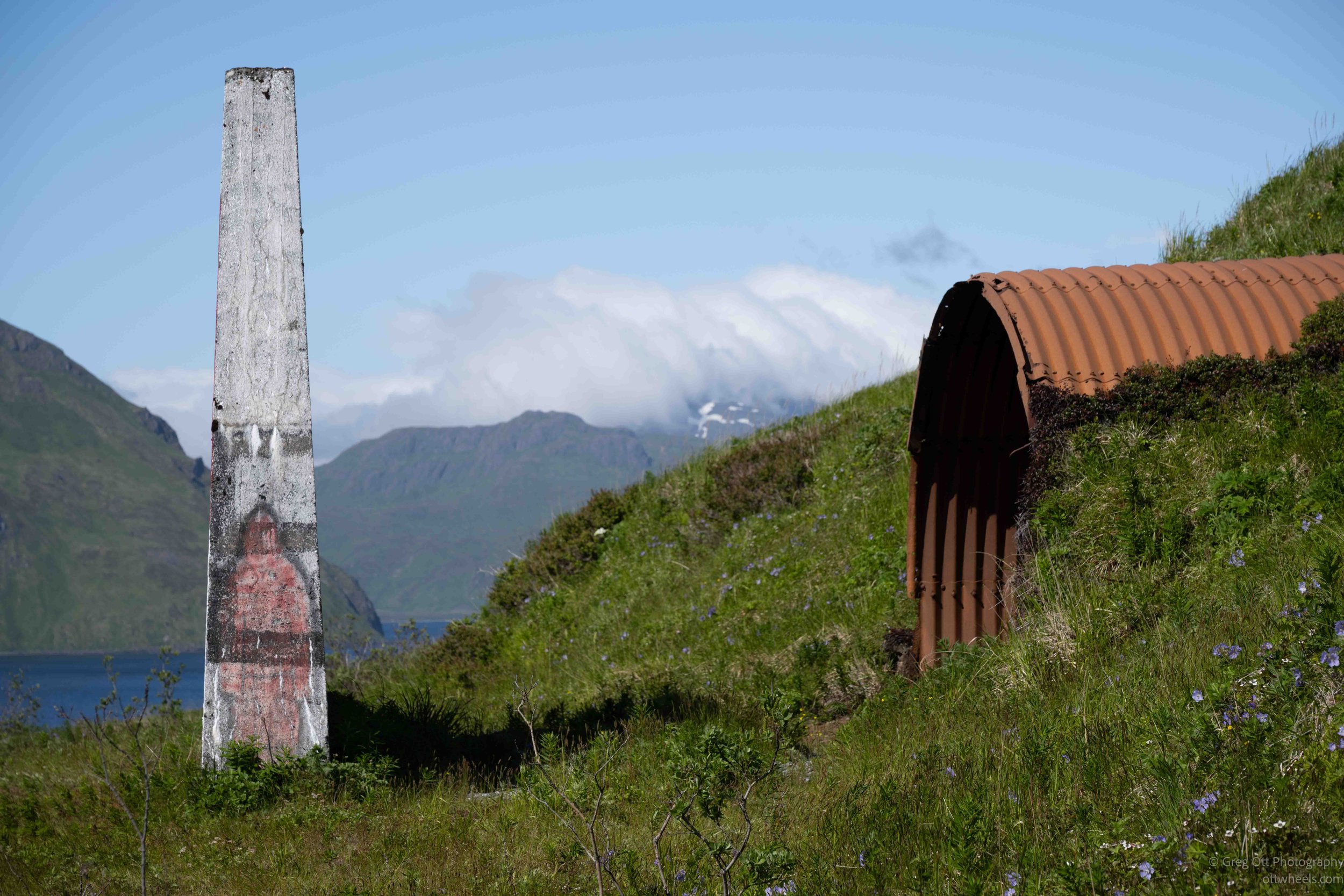
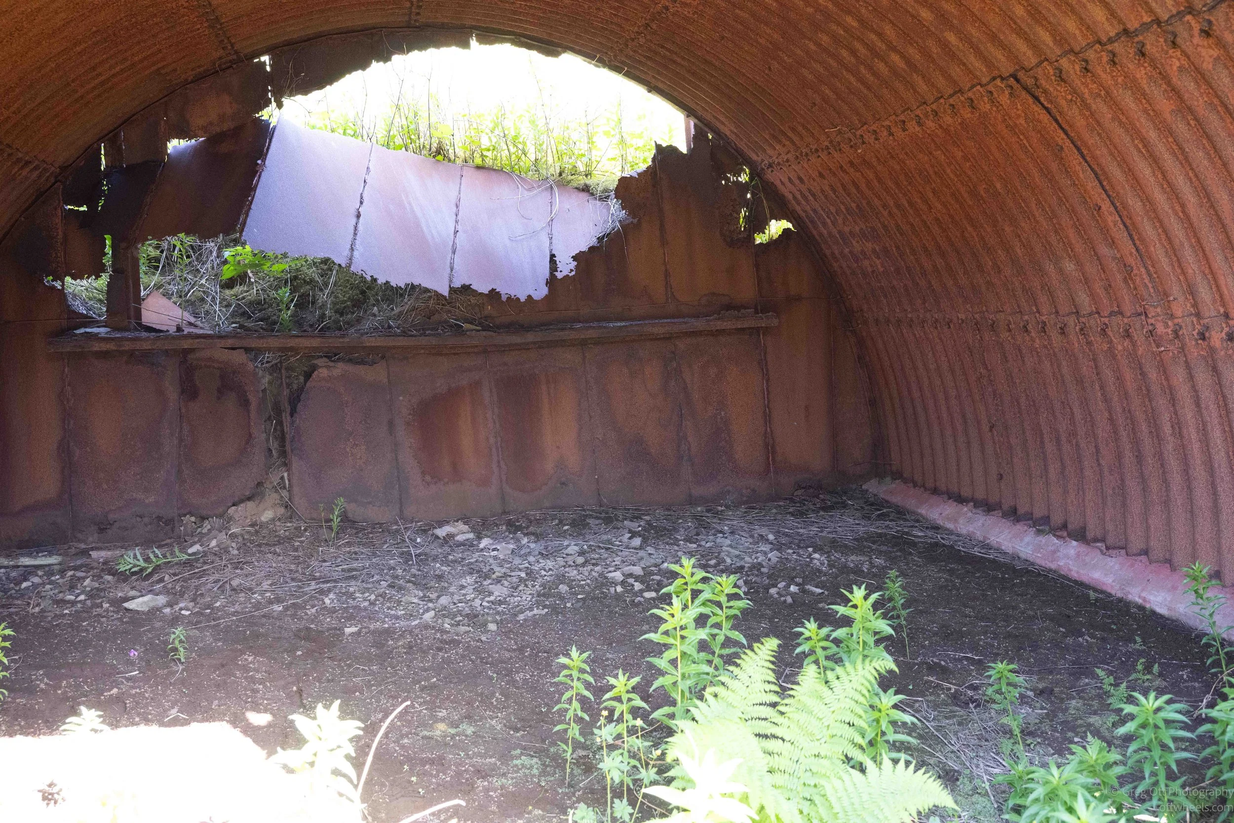
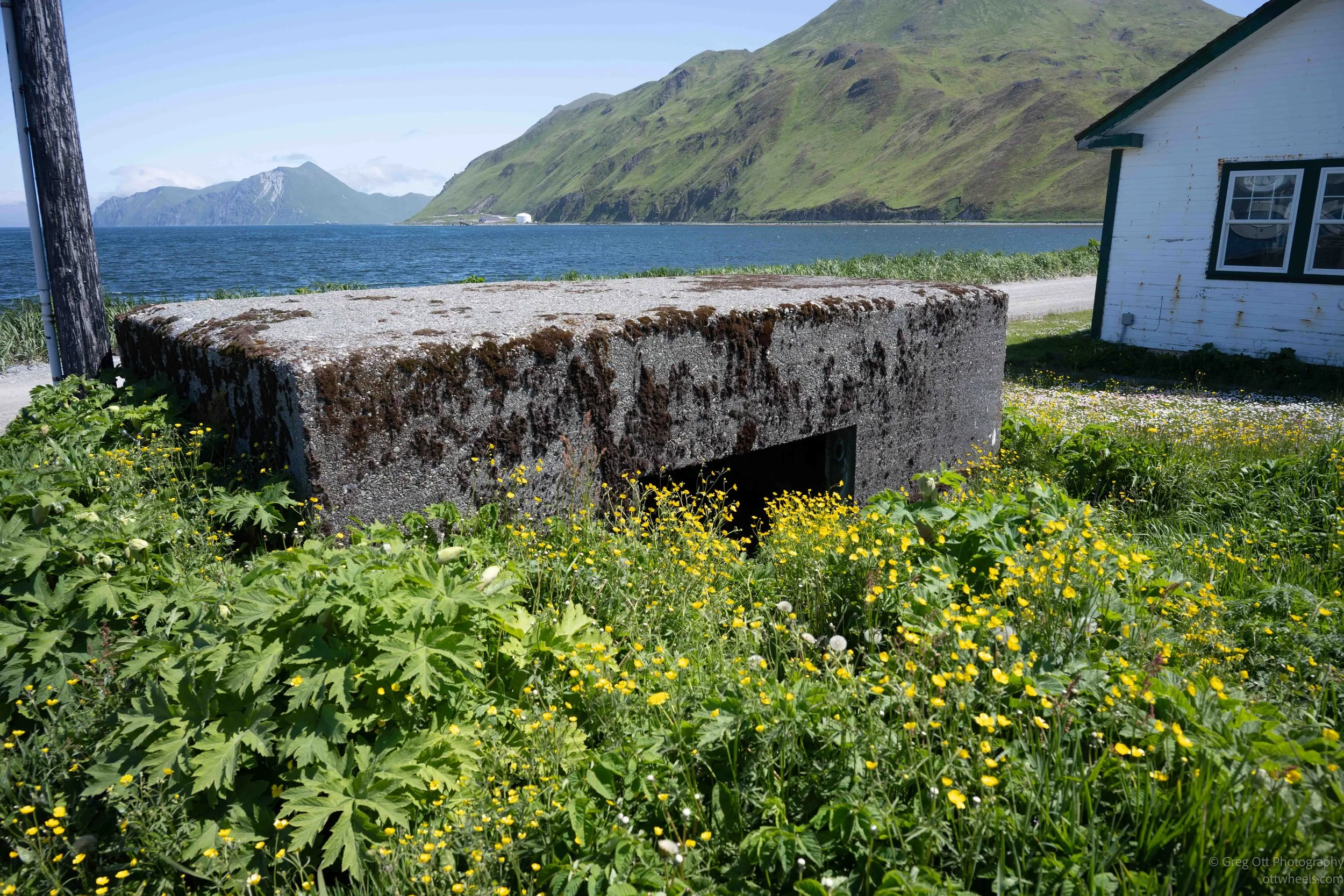
The Japanese bombing of Dutch Harbor in June 1942 changed the island forever. While the military quickly expanded its presence here, the greatest impact fell on the people who had called these islands home for thousands of years. Dennis’ mother, bottom left in the photo and other relatives were forced into camps, “For their protection.”
Where the War Still Lives
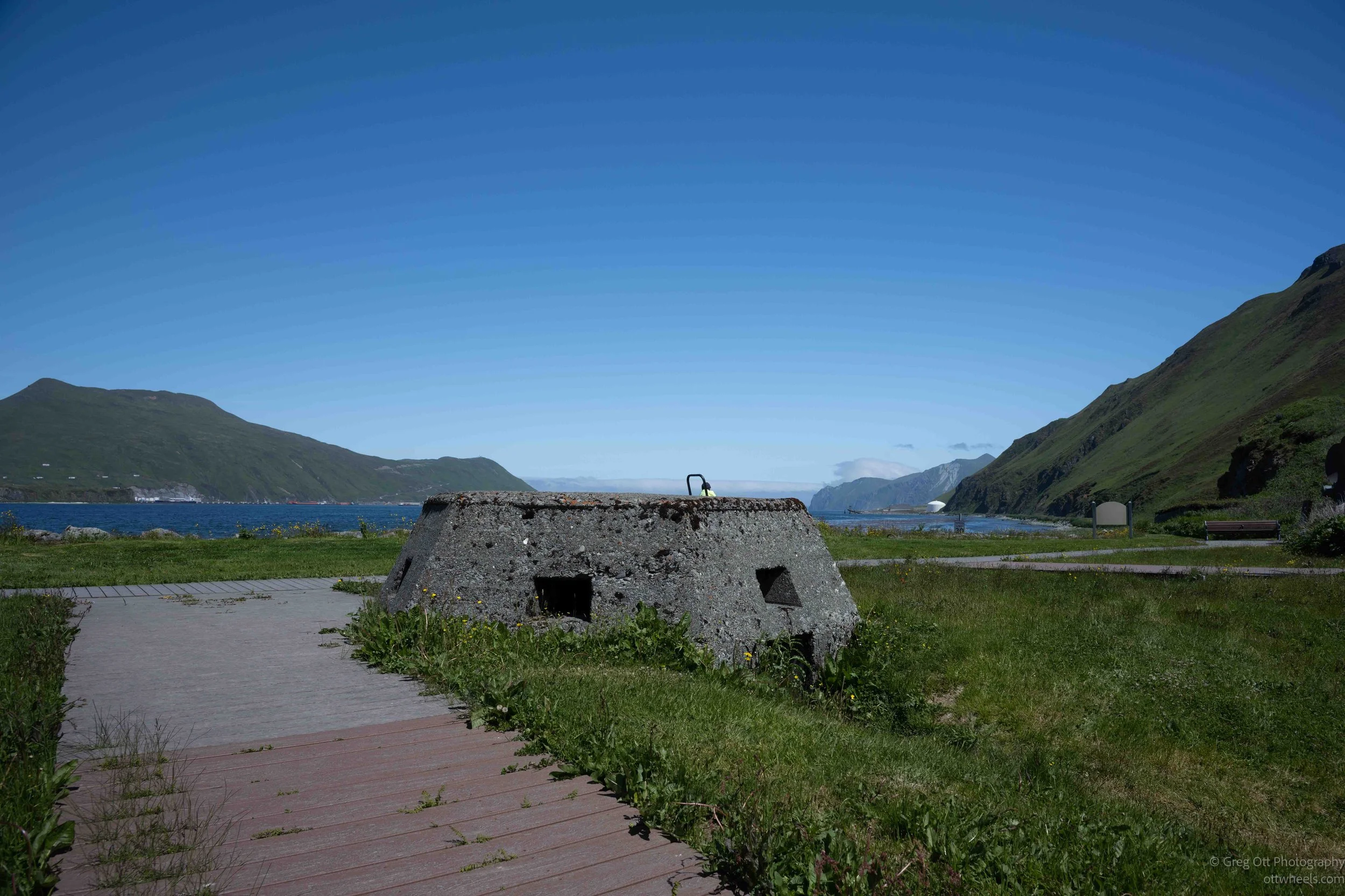
Our next stop was the World War II Memorial overlooking Dutch Harbor. Even before reading the plaques, it was obvious why this location mattered. The memorial sits beside the harbor entrance where ships once steamed in and out, surrounded by steep green mountains that still hide bunkers and gun emplacements. The concrete pillboxes remain exactly where they were built, their firing ports still aimed toward the water. I climbed inside one and looked out through the narrow opening. Instead of enemy ships, I saw a groundskeeper mowing the grass. It was one of those unexpected moments that quietly says more than words ever could. The same opening once watched for Japanese aircraft and ships; today it frames an ordinary summer afternoon.
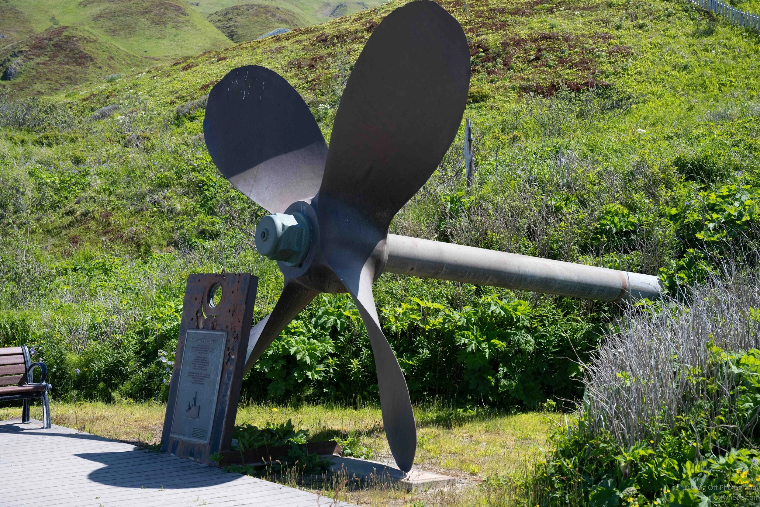
Scattered around the memorial are reminders of the Aleutian Campaign. One of the most impressive is the massive bronze propeller from the SS Northwestern, the passenger and cargo ship bombed during the Japanese attack on Dutch Harbor on June 3, 1942. Standing beside it, I was struck by its sheer size. It's hard to imagine the ship that once turned it through the Bering Sea.
Dennis then told me something that surprised me. Official Navy records say the Northwestern was salvaged and eventually scrapped after the war. Dennis smiled and said, "Let me show you something." Later he drove me to a quiet stretch of shoreline where the rusting bow of the ship still protrudes above the water. Whether the records tell the entire story or not, part of the Northwestern remains exactly where the Aleutian weather has left it.
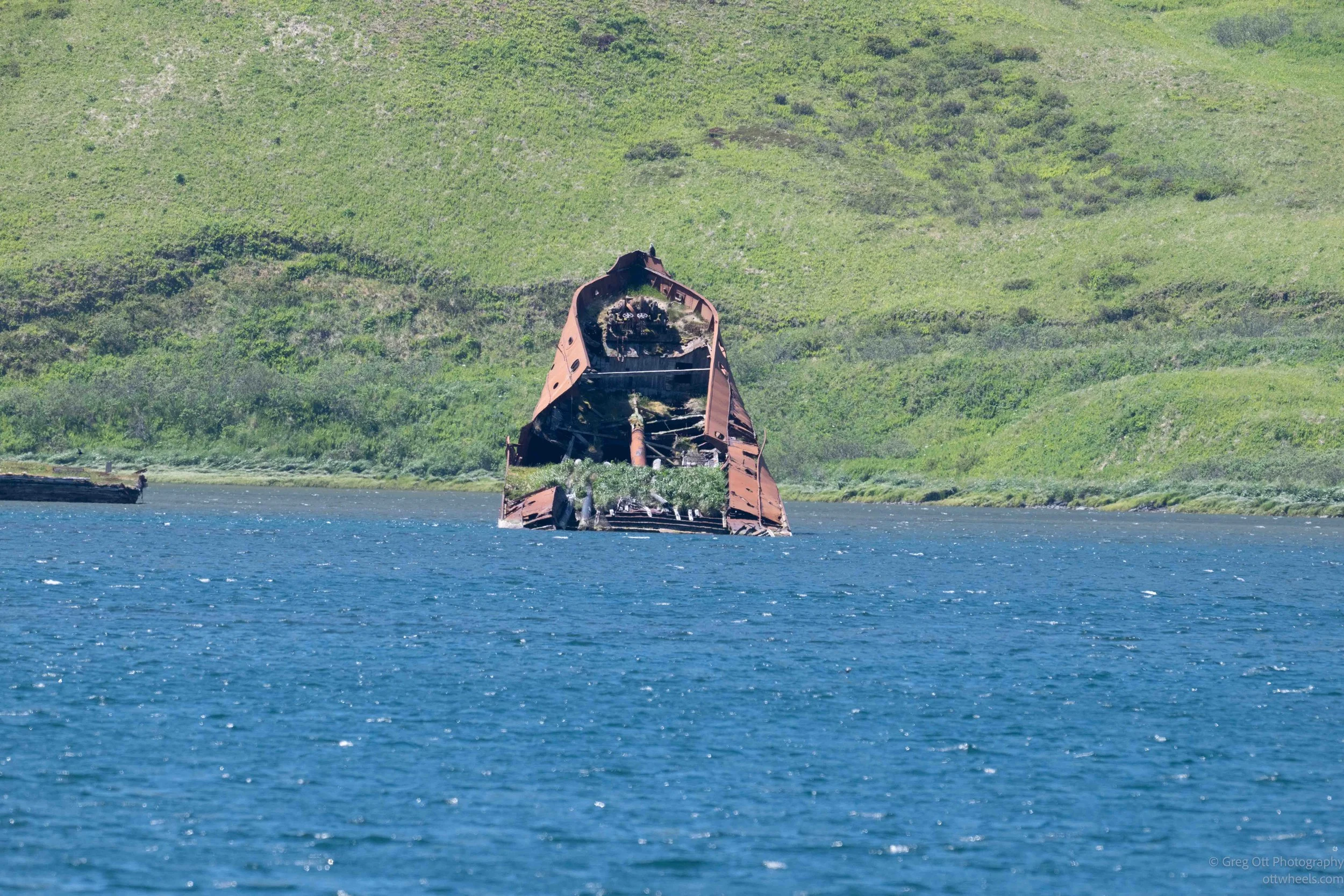
Dennis then told me something that surprised me. Official Navy records say the Northwestern was salvaged and eventually scrapped after the war. Dennis smiled and said, "Let me show you something." Later he drove me to a quiet stretch of shoreline where the rusting bow of the ship still protrudes above the water. Whether the records tell the entire story or not, part of the Northwestern remains exactly where the Aleutian weather has left it.
The memorial itself is about far more than American history. A granite monument honors everyone who fought in the Aleutian Campaign—American, Canadian, Japanese, and Russian alike. Nearby stands a Japanese peace monument inscribed with the simple message, "May There Be Peace on Earth," repeated in many different languages. I found that especially moving. Less than a century ago these countries were trying to destroy one another here. Today they stand together asking for peace.
Dennis also mentioned that at least one Japanese aircraft crashed in the mountains during the attacks. The wreckage is still there. If you know where to hike, you can still visit the crash site, another reminder that this wasn't just another battlefield buried in history books. The war is still scattered across these islands for anyone willing to look.
Standing there, surrounded by bunkers, memorials, rusting artifacts, and peaceful views across the harbor, it became much easier to understand the stories Dennis was telling. The Aleutian Campaign wasn't some distant chapter of World War II. It happened right here, and eighty years later the landscape is still quietly preserving its memory.
Four Villages, One Community
Before arriving here, I thought of Unalaska as a single town on a single island. I quickly learned I was wrong.
Dennis explained that today's community is really the story of several historic Unangax̂ villages whose lives became intertwined because of World War II. Before the war, families lived in separate villages throughout the region, each with its own identity, traditions, and history. Then came the bombing of Dutch Harbor.
Fearing a Japanese invasion, the U.S. government evacuated the Unangax̂ residents from their homes and transported them to camps in Southeast Alaska. The evacuation was supposed to protect them, but conditions in many of the camps were poor. Families were crowded into inadequate housing, disease spread quickly, and many people died far from the islands they had always called home.
When the war ended, not everyone was allowed to return. Several of the villages were never re-established. Instead, families from different communities eventually settled together in Unalaska, creating the town that exists today.
Dennis also described something I had never considered. Before the war, one of the villages had already developed working relationships with American businesses and government agencies through the growing fishing industry, while the others had remained much closer to a traditional way of life. When everyone came together after the war, those differences became an unexpected strength. The people who already understood the commercial world helped the others adapt to an economy that was changing rapidly around them.
Years later, the creation of the Ounalashka Corporation provided another way for the community to move forward together. It allowed local shareholders to manage their lands, participate in the island's economic development, and help shape the future of Unalaska while preserving the culture that had survived so much.
Listening to Dennis, I realized today's Unalaska isn't simply the result of a successful fishing industry. It is the result of remarkable resilience. The community was rebuilt by people who endured war, forced evacuation, the loss of their villages, and the challenge of creating a new future together without forgetting where they came from.
That realization changed the way I looked at everything else on the island.
Volcanoes, Earthquakes, and the Birth of the Aleutian Islands
As we climbed into the mountains behind Unalaska, Dennis explained that the Aleutian Islands are part of one of the most geologically active regions on Earth. The Pacific Plate is slowly sliding beneath the North American Plate, creating the chain of volcanoes that stretches nearly 1,200 miles across the North Pacific. The process continues today. Earthquakes are common, and although the surrounding volcanoes appear quiet, they remain active geological features that continue shaping the islands.
One surprising fact is that parts of Alaska weren't always here. Much of southern and western Alaska formed thousands of miles farther south before fragments of the Earth's crust slowly drifted north and collided with the continent over millions of years. Rather than one ancient landmass, Alaska is a geological patchwork assembled piece by piece.
Dennis sees the volcanoes as more than a reminder of the past. Beneath Makushin Volcano lies a vast geothermal resource that could one day provide inexpensive, renewable electricity for Unalaska. Lower energy costs would benefit residents and the fishing industry, and abundant power could even attract new technology-based businesses. It was fascinating to realize that the same volcanic forces that created these islands may also help shape their future.
Time, Geography, and a Jeopardy Question
I told Dennis about another goal I have for this trip: reaching the northernmost, southernmost, easternmost, and westernmost points in the fifty states (see the List of Extreme Points in United States). I had come to the Aleutians believing Attu was the westernmost point in the United States. I had read that more than once.
Dennis knew exactly where the confusion came from. He turned the conversation into something resembling a Jeopardy question: where are the northernmost, westernmost, and easternmost points in the United States? All three are in Alaska.
The northernmost is Point Barrow, near Utqiaġvik, on the Arctic coast. The westernmost is on Amatignak Island, which lies just east of the 180th meridian at about 179 degrees west longitude. The easternmost is Pochnoi Point on Semisopochnoi Island, which lies on the other side of the 180th meridian and is therefore measured in east longitude.
That is what I had misunderstood about Attu. It sits at the far end of the Aleutian chain and is reached by continuing west from Dutch Harbor, but it lies beyond the 180th meridian in the Eastern Hemisphere. In other words, I had been trying to reach what looked like the western edge of the United States, only to discover that it was actually east of Dutch Harbor by longitude.
The International Date Line follows roughly the same part of the world, but bends around the Aleutian Islands so all of Alaska remains on the same calendar day. Otherwise, it would be possible to travel between two American islands and arrive on a different date without ever leaving the state (see the One Minute Geographer).
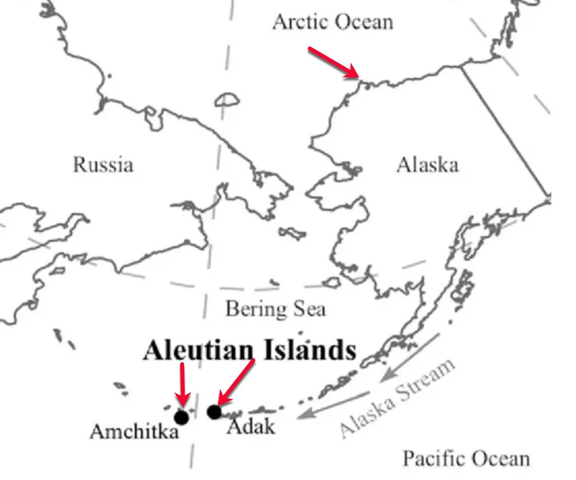
None of this is easy to understand on the flat maps most of us grew up with, especially when Alaska is removed from its actual location and placed in a small box beneath the Lower 48. On a globe, the Aleutian chain curves westward, crosses the 180th meridian, and continues into the Eastern Hemisphere. Here’s alaska overlayed on the Lower 48 (see Alaska’s Digital Archive for more details).
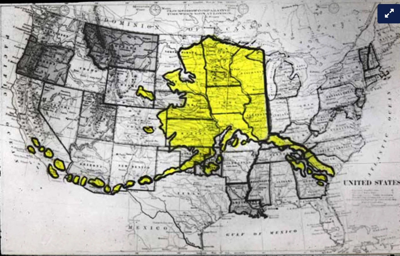
I had gone to Dutch Harbor believing Attu would help me check the westernmost point off my list. Instead, Dennis explained that Alaska's westernmost point was somewhere else—and that the distant islands I had been thinking of as the far west were actually part of what makes Alaska the easternmost state as well.
Community Projects: Building a Town in the Middle of Nowhere
As we drove around the island, another pattern began to emerge. Almost every few miles Dennis would point toward a road, a building, a utility, or an empty piece of land and begin another story.
What made these stories different was that many weren't simply things he knew about—they were projects he had helped bring to life.
Some involved the fishing industry. Others involved transportation, housing, utilities, or long-term planning. One conversation flowed naturally into another until I began to appreciate what it takes to keep a modern community functioning more than 800 miles from Anchorage.
One project Dennis has been especially passionate about is the same one we'd touched on up on the mountainside: developing geothermal energy from nearby Makushin Volcano. For decades, engineers have known there is an enormous geothermal resource beneath the volcano, and Dennis has been involved in efforts to move the project forward. The vision is ambitious: replace a significant portion of the community's diesel-generated electricity with clean, renewable geothermal power. If successful, it could reduce energy costs for residents, strengthen the commercial fishing industry, and make Unalaska even more attractive for future economic development. Although the project has faced funding and financing challenges over the years, the City, the Qawalangin Tribe, and the Ounalashka Corporation continue to pursue it.
We also talked about the community library. In a city this isolated, a library becomes much more than a place to borrow books. It serves as a community gathering place, a learning center, and an important resource for both residents and visiting workers. Like so many things in Unalaska, maintaining services that many of us take for granted requires constant planning, partnerships, and funding.
Another topic that surprised me was the community's water system. The seafood processing industry consumes enormous amounts of fresh water, making careful management essential. Yet despite those demands, Unalaska's water utility has earned recognition within Alaska for the quality of its system and the way it is operated. It's another reminder that providing reliable infrastructure in a remote island community requires far more planning than most of us ever think about.
By the end of the afternoon, I realized Dennis wasn't simply showing me the sights around Unalaska. He was showing me how an isolated island community actually works. Every road, utility line, harbor improvement, and public building represented years of planning, countless funding meetings, and people willing to invest in the future of a place they call home. Those stories rarely make it into travel guides.
For me, they became one of the most interesting parts of the tour.
Community Healthcare
Dennis told me about a man whose foot had been completely severed in an accident. In most places, he would have been rushed directly to a major trauma center, but Unalaska is hundreds of miles from that kind of hospital, and weather can delay an evacuation for hours or even days. The staff at the local clinic could not simply stabilize him and wait. They had to act.
They reattached his foot, kept him stable, and managed his care until he could finally be flown off the island. The work was so successful that he eventually regained full use of it. Dennis said the case later became part of the clinic's renewed application for Level V trauma-center designation. The result demonstrated that this small, remote facility was capable of handling injuries far beyond what most people would expect from a community clinic.
That designation does not mean Unalaska suddenly has a large hospital filled with specialists. It means the clinic has proved it can evaluate serious trauma, perform lifesaving treatment, stabilize patients, and keep them alive until they can reach a higher-level medical center. On an island where distance, weather, and limited transportation can all work against you, that capability is not optional. It is essential.
The story also changed my understanding of what it means to live in a remote community. Residents and workers cannot assume an ambulance will take them to a major hospital in twenty minutes. The clinic staff may be the only medical team available during the most critical hours, and in this case, those hours made the difference between losing a foot and recovering the use of it.
Meeting the Artist Behind the Mariners Memorial
As we drove around the island, Dennis pulled into the site of the new Mariners Memorial overlooking the harbor. Construction was still underway, so I assumed we were simply stopping to look at the progress and then continue on.
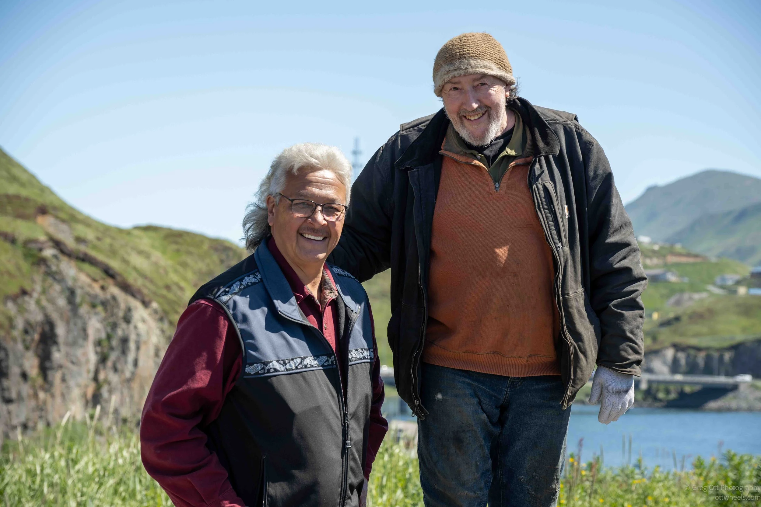
While we were standing there, a pickup truck pulled into the parking area. Dennis smiled, walked over, and introduced me to Karel Machálek, the artist and project manager behind the memorial. Within a minute or two I realized he wasn't from Alaska at all. Karel had grown up near Prague in the Czech Republic. I told him I had visited Prague not long after the Berlin Wall came down and remembered what an incredible city it was. It seemed like an unlikely conversation to be having in the Aleutian Islands.
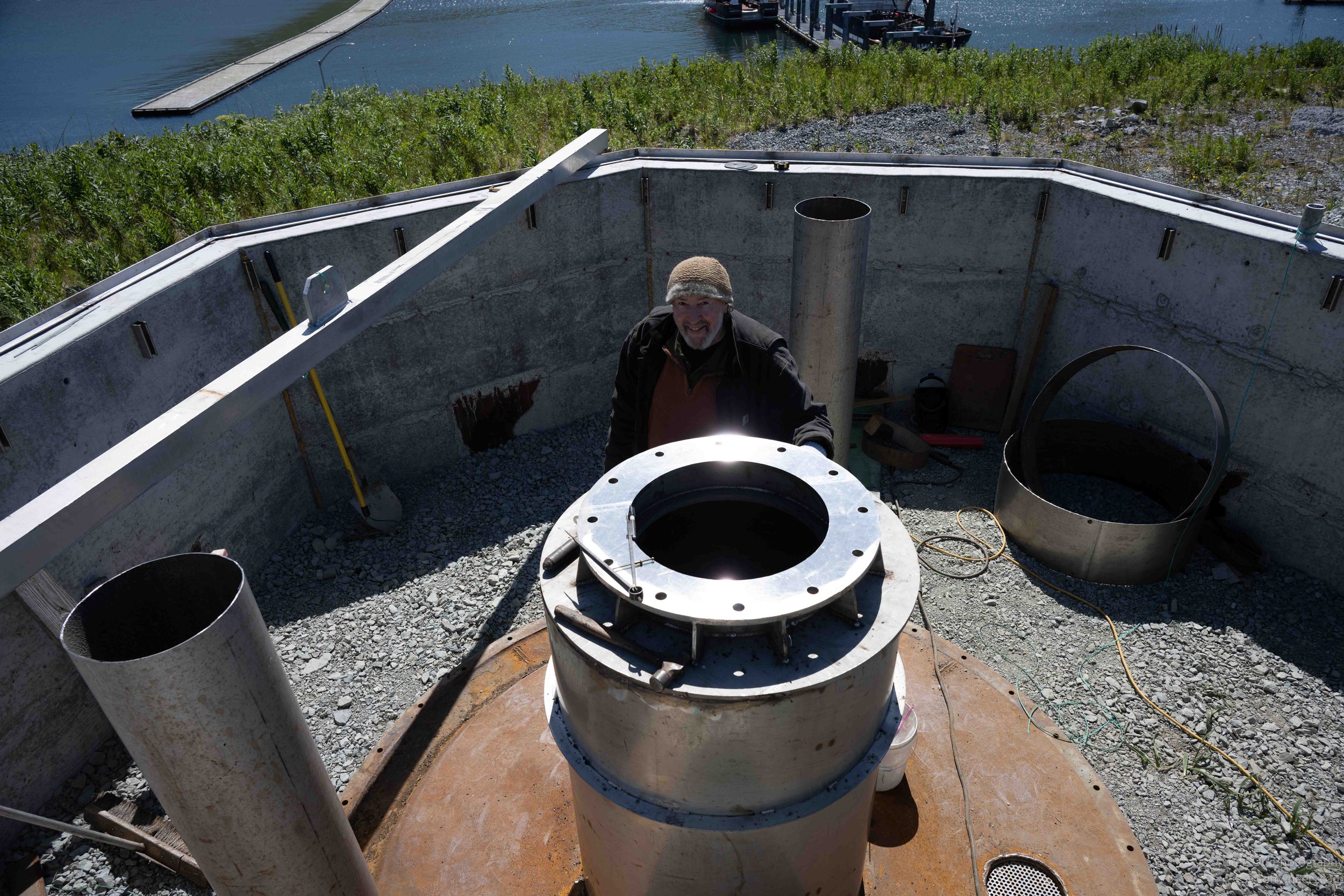
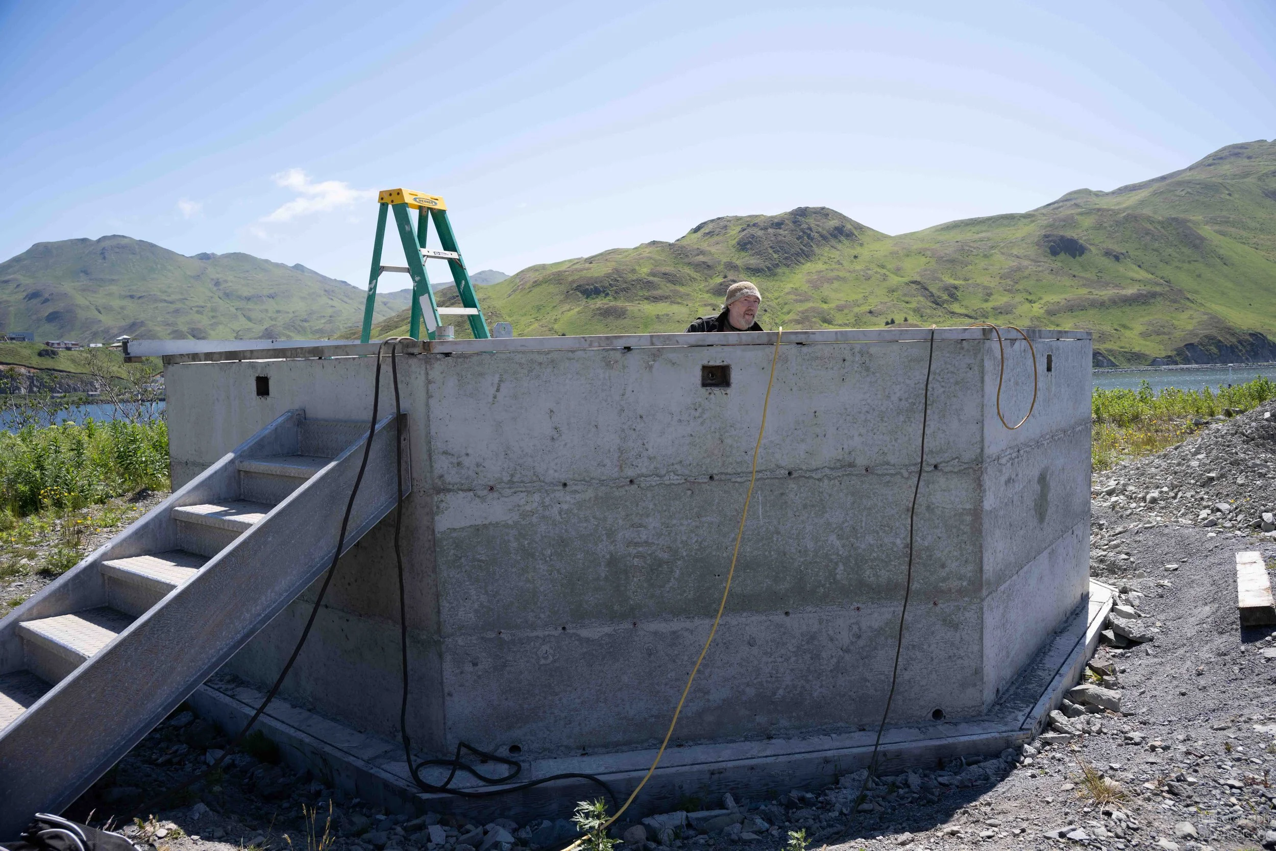
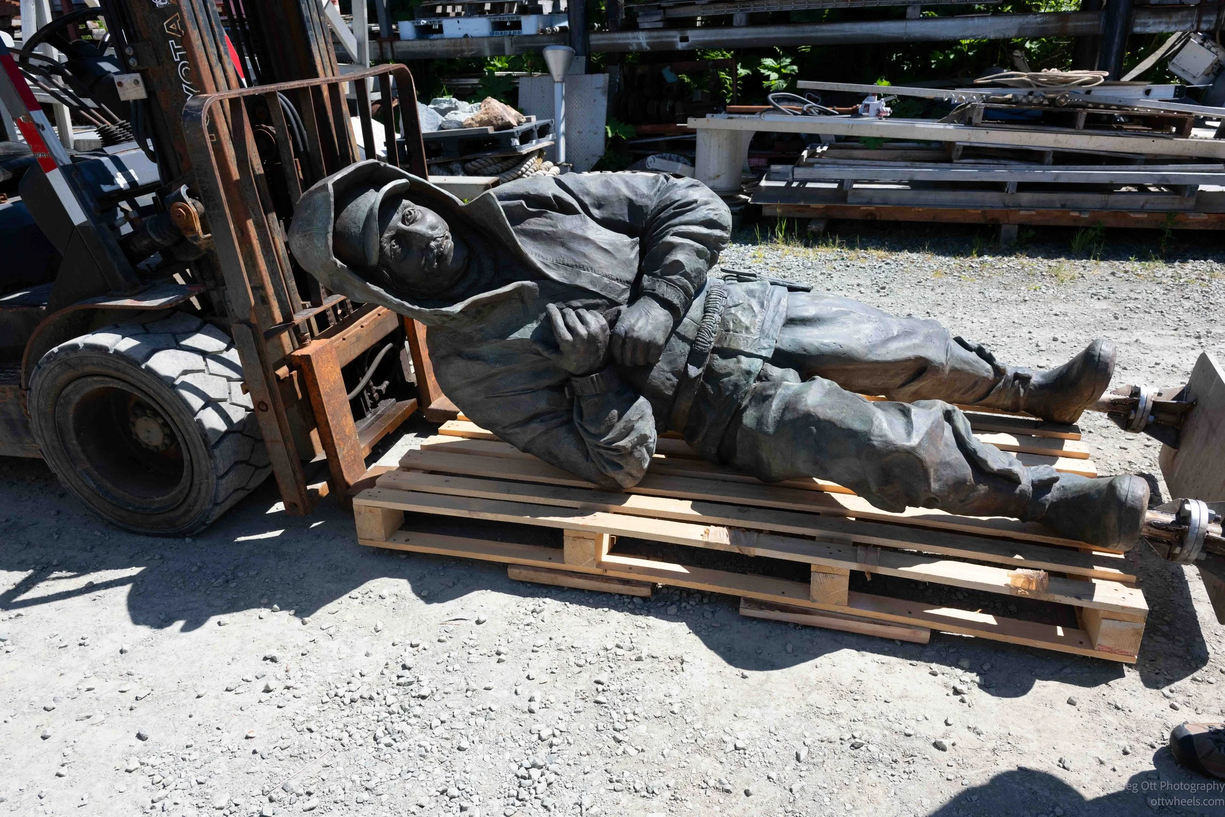
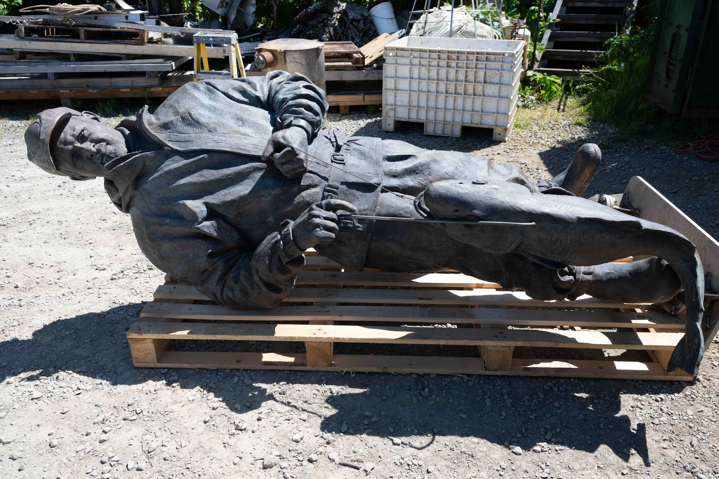
Karel is a sculptor, metal artist, and master welder who splits his time between the Czech Republic and Unalaska. Over the years he has created numerous sculptures throughout the Aleutians, many reflecting the region's maritime history and the people whose lives have been shaped by the sea. Standing beside the memorial, it became obvious that this wasn't simply another commission. He was personally invested in telling the story of the fishing community that has made Dutch Harbor what it is today. The following pieces were in the harbor below, cut using a water cutter.
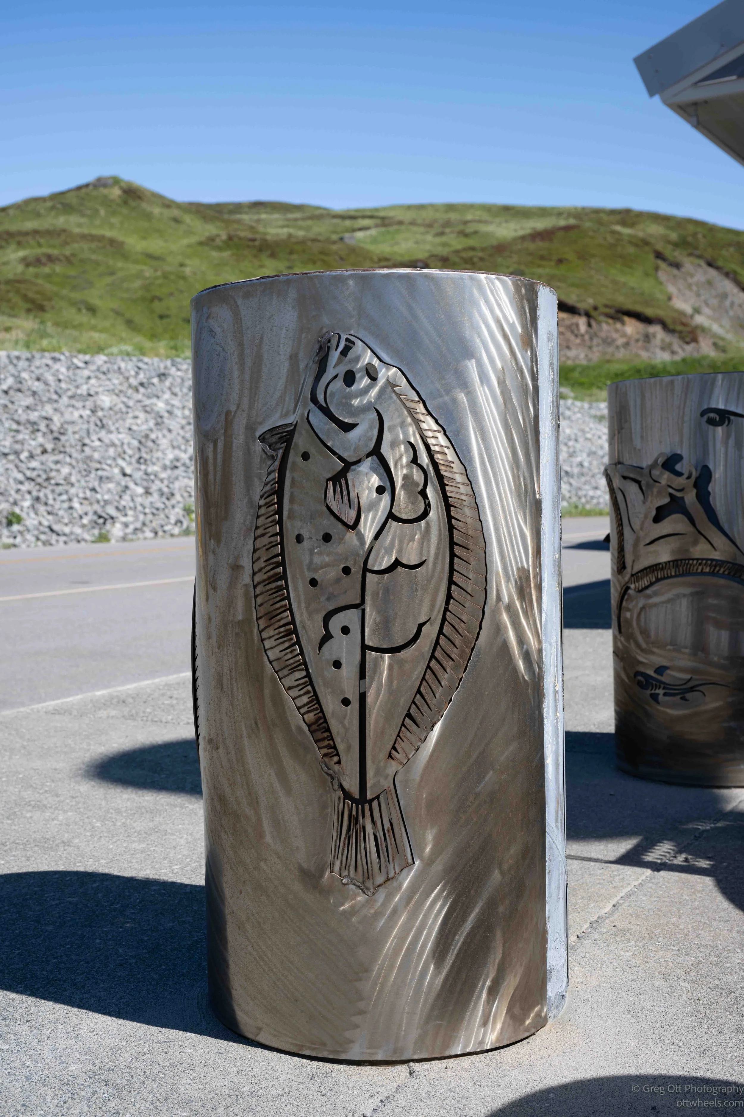
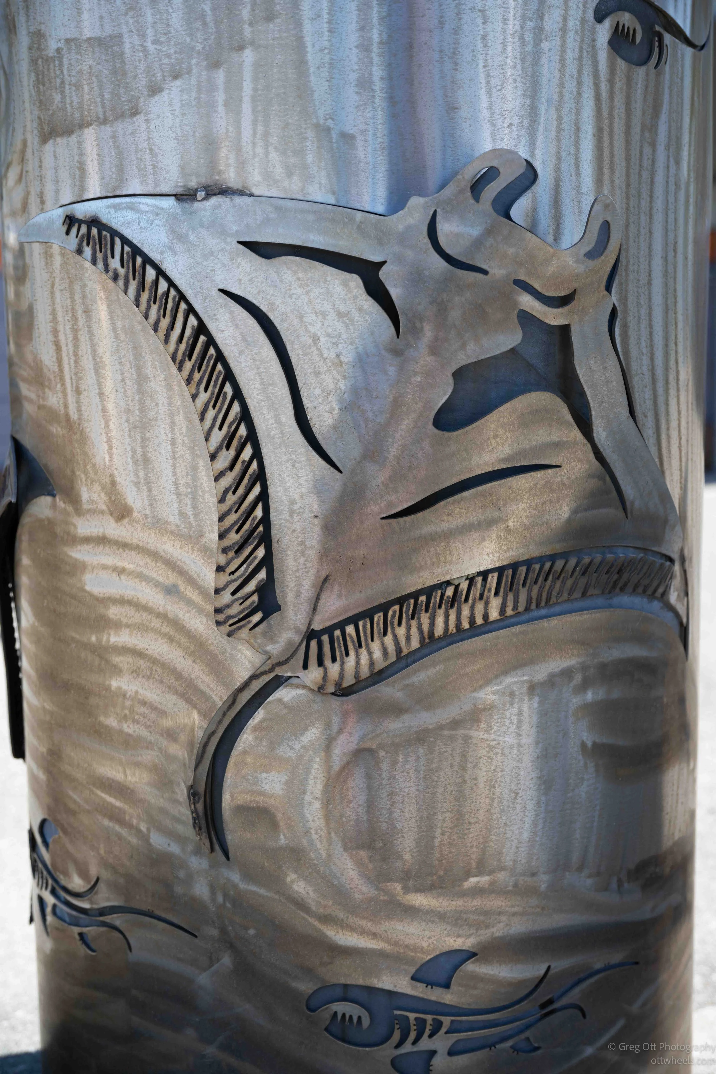
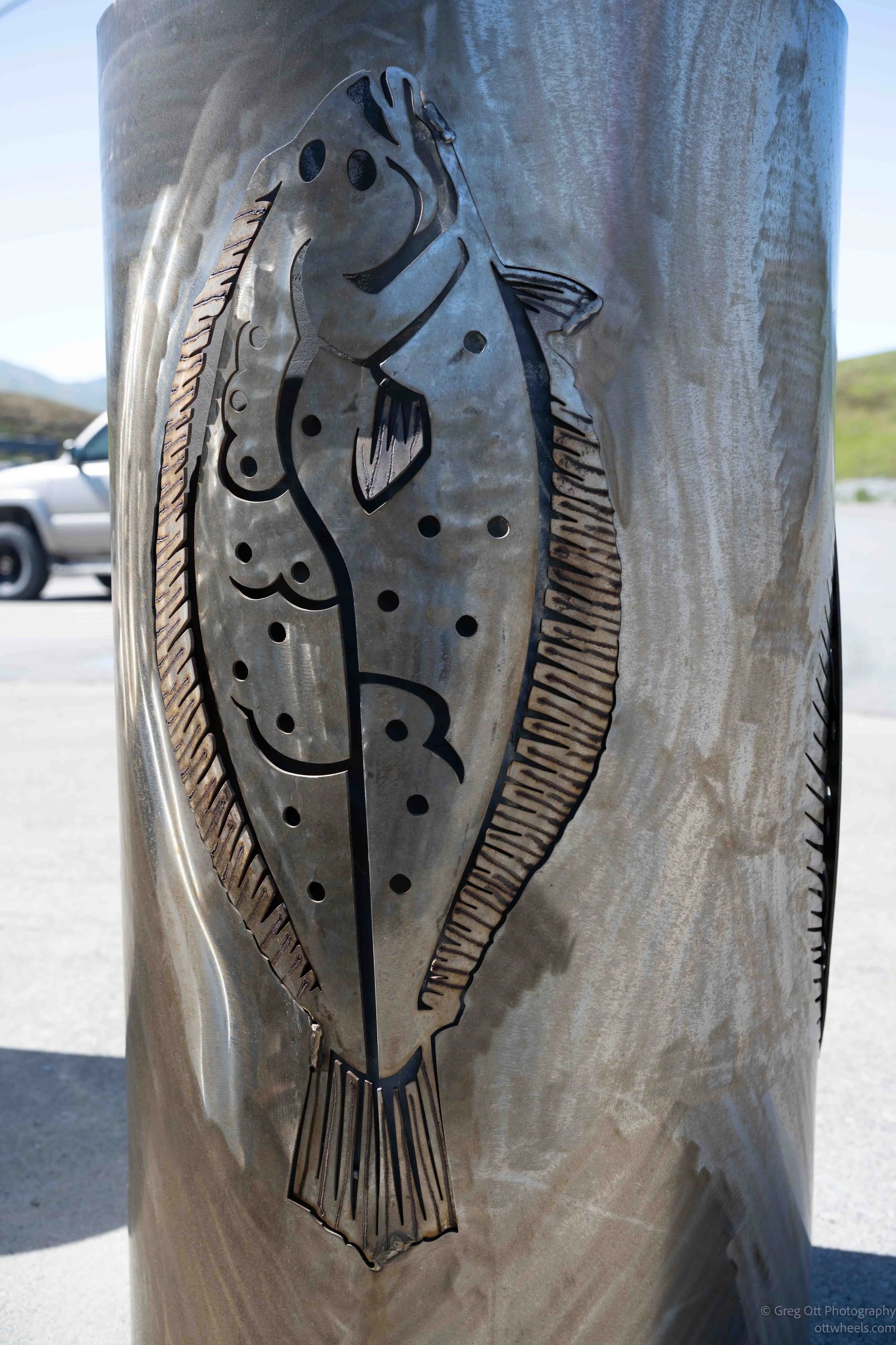
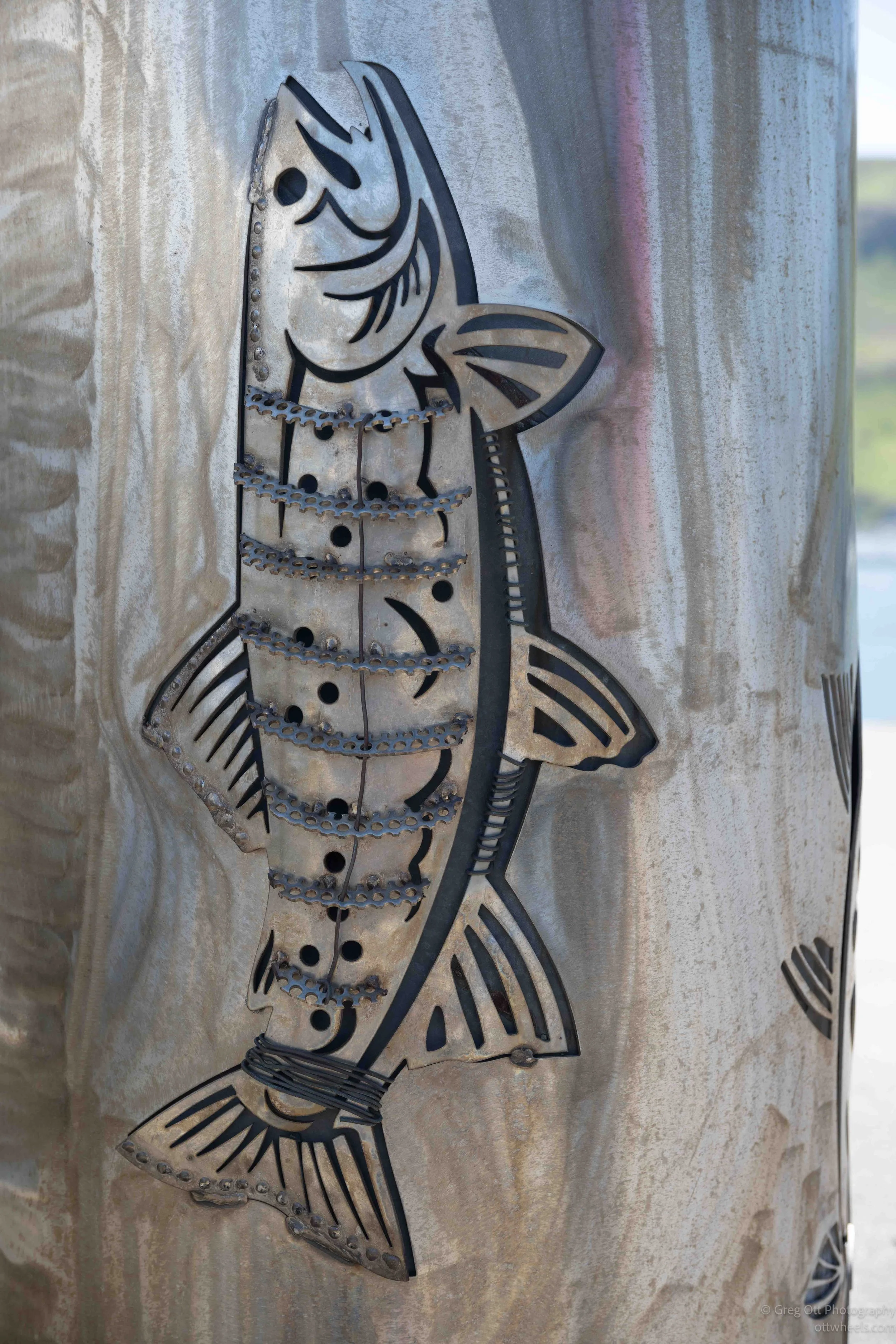
He walked Dennis and me around the site, explaining how the project had evolved from the original concept to what was now taking shape. We talked about the engineering challenges of creating sculptures that have to survive Aleutian winters, hurricane-force winds, salt spray, and decades of exposure to the weather. Three of the bronze figures had already been cast in the Czech Republic before being shipped halfway around the world to Alaska. Looking at the construction site, it was easy to forget how much planning and craftsmanship had already gone into what we were seeing.
As we climbed back into the van, Dennis mentioned that Karel had built a scale model of the entire memorial. "We'll stop by his shop later," he said. "You should see it."
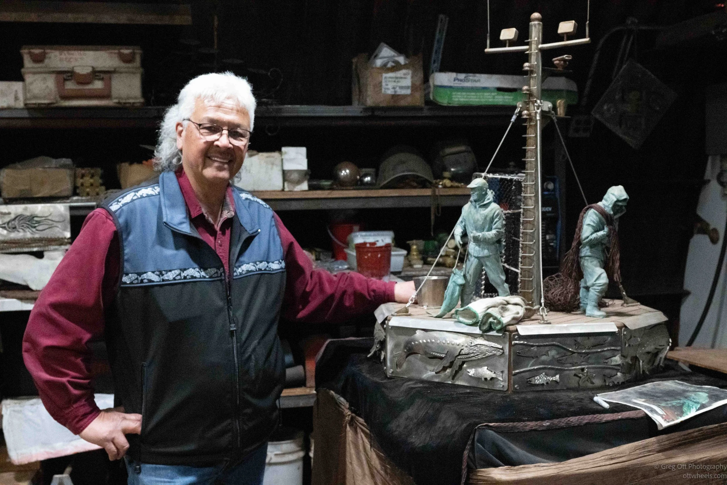
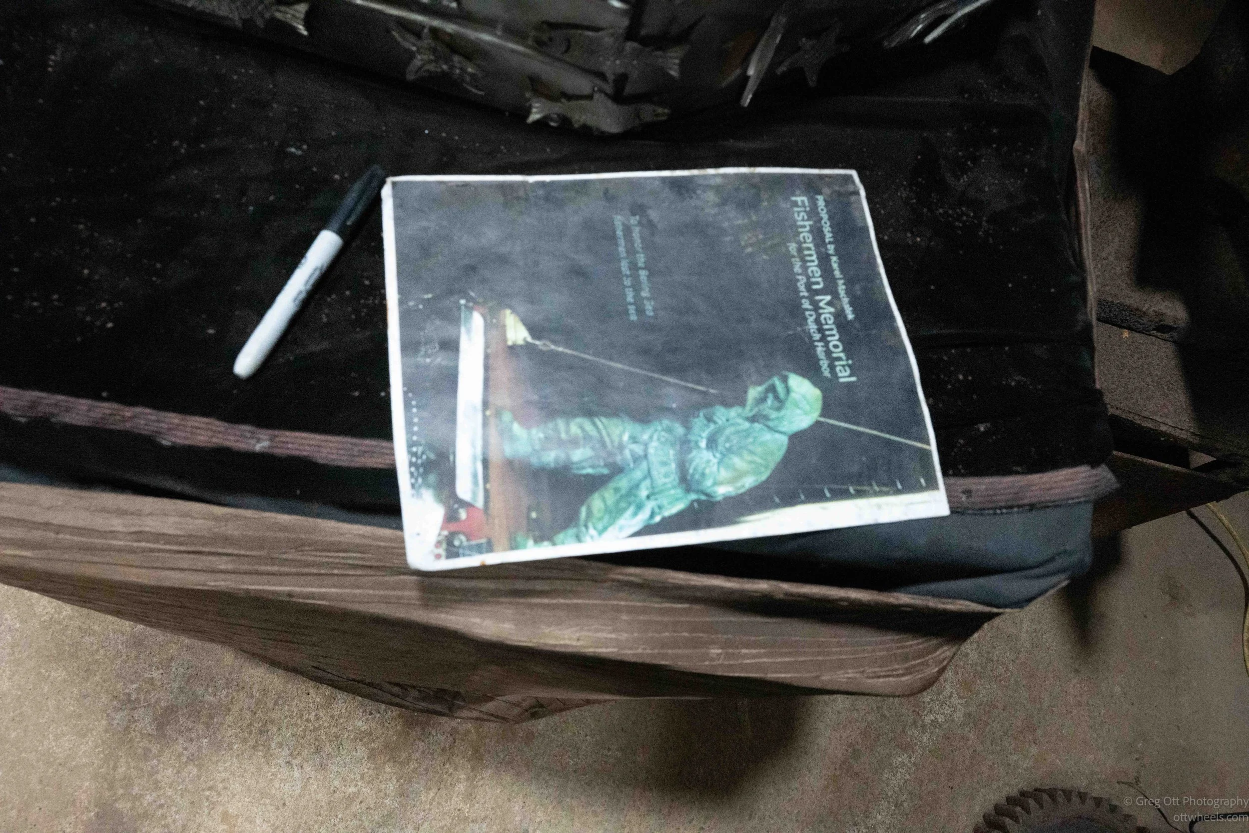
Karel was one of those people you don't forget very easily. He had an energy that filled the conversation and a genuine excitement about the project that made it impossible not to become interested yourself. Before we left, I asked Dennis and Karel to stand together while I made a portrait of them. Looking through the viewfinder, I realized I was photographing two people who had contributed to the community in very different ways—Dennis by helping build it over decades, and Karel by creating a monument that would honor the people who made their living on the sea.
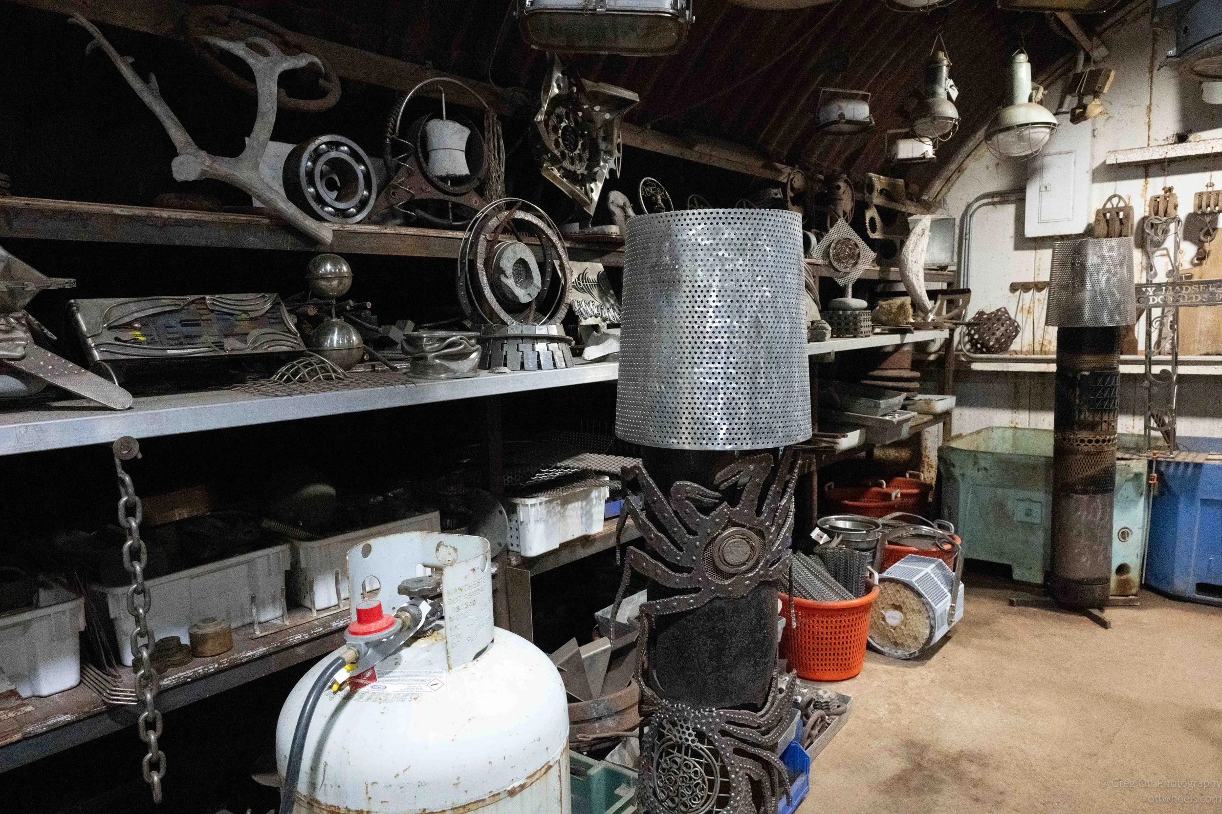
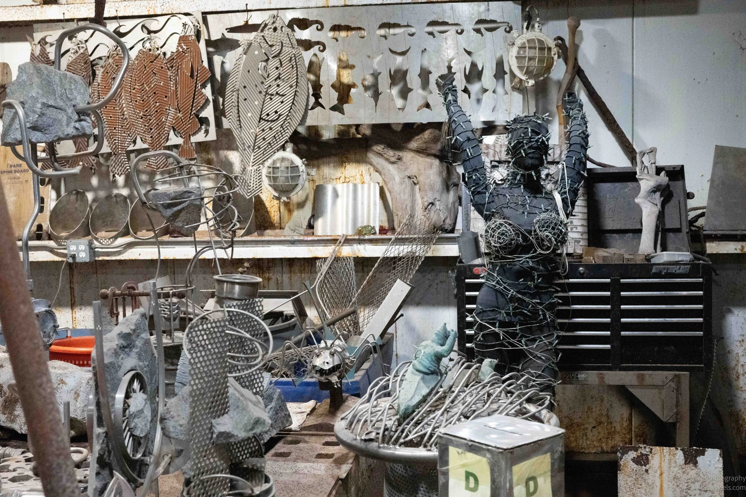
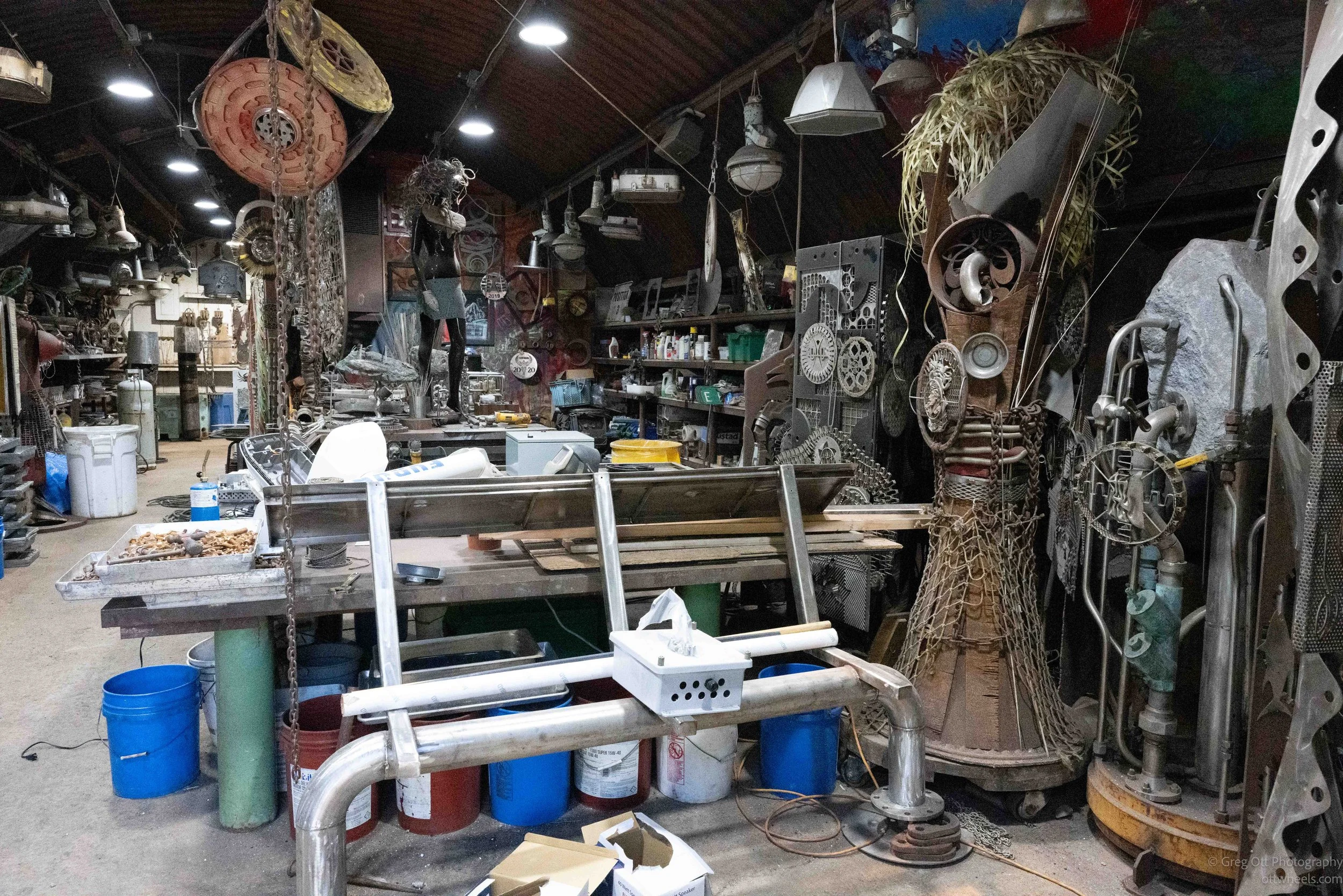
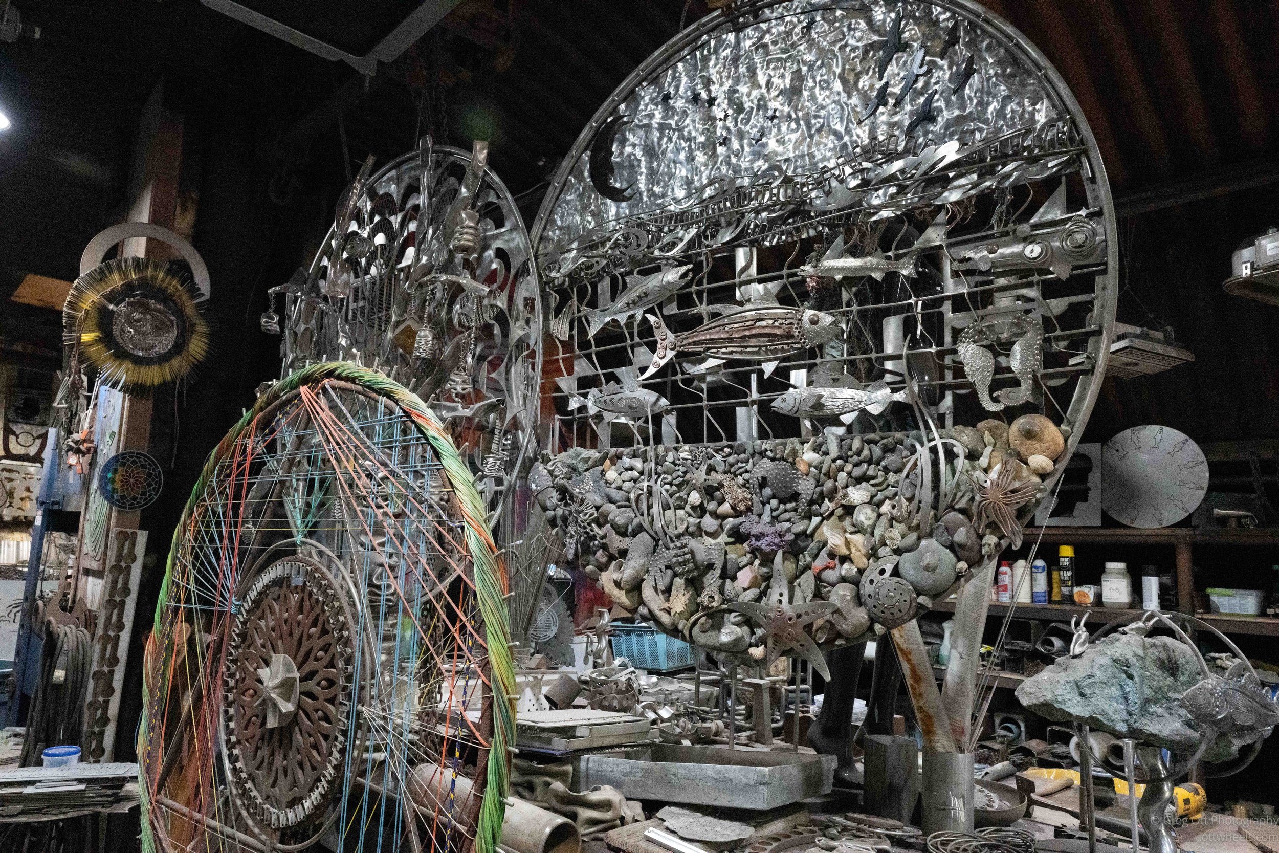
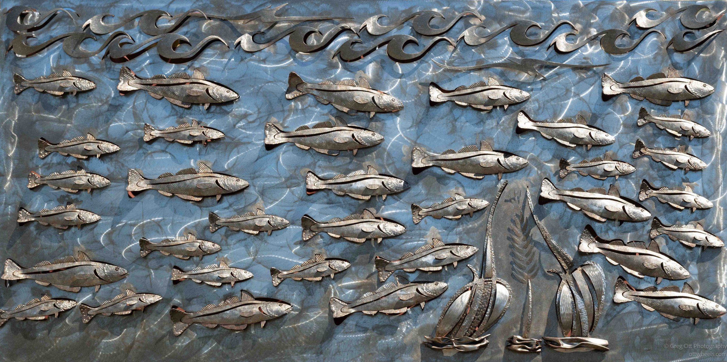
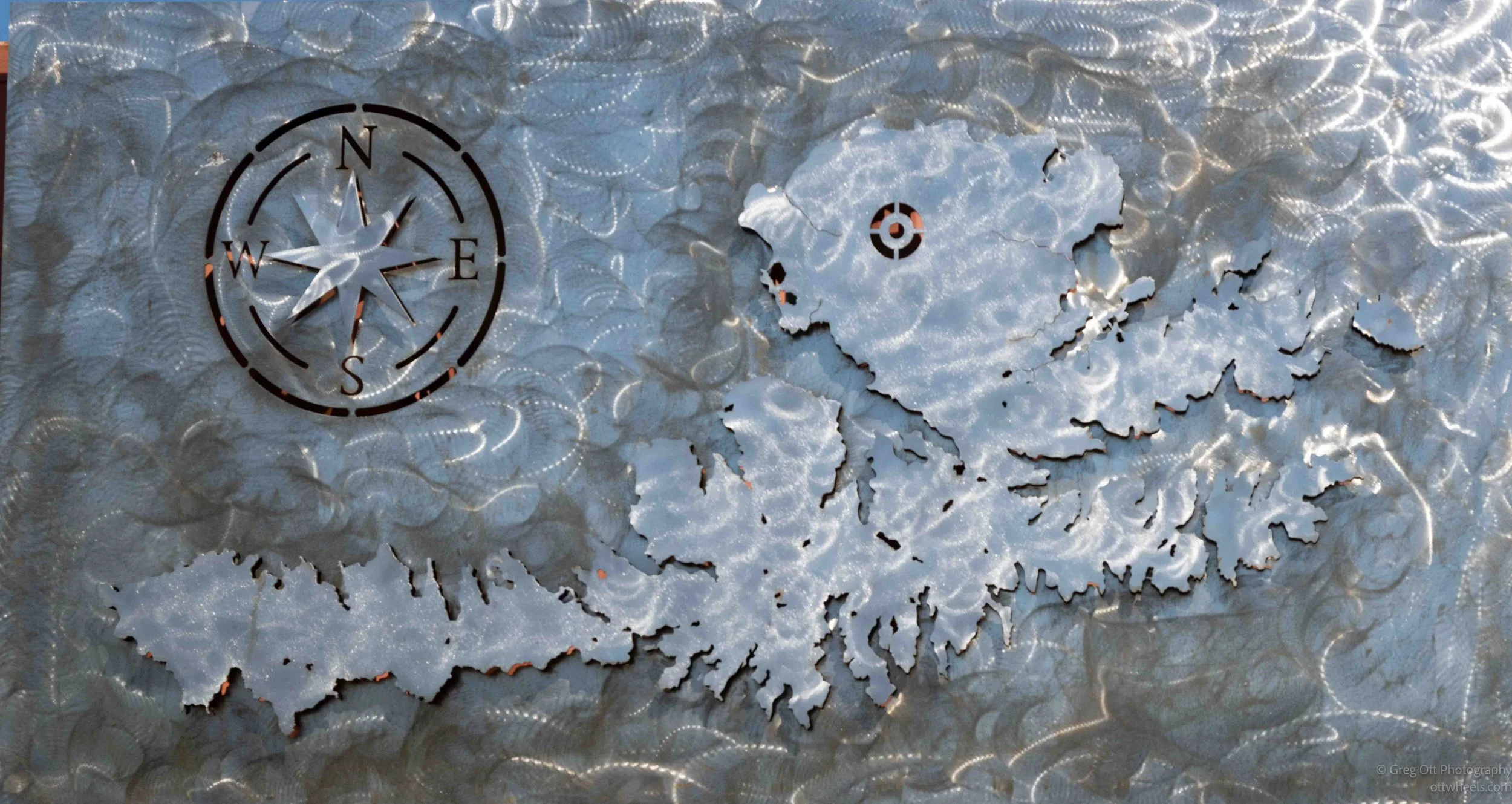
I had no idea that the workshop would end up being just as interesting as the memorial itself.
Birds and Mountains
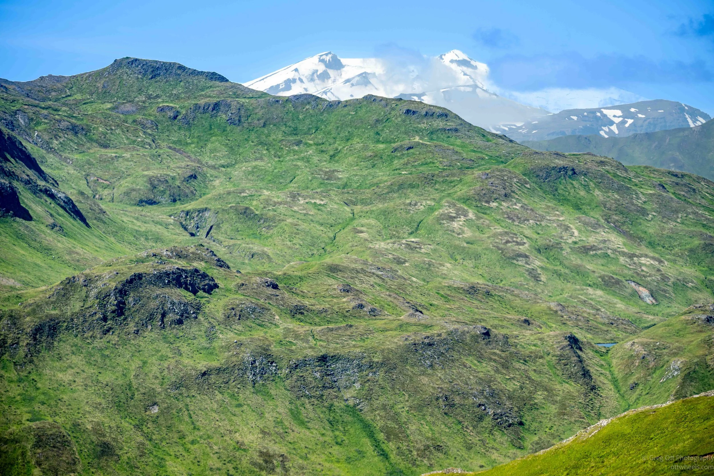
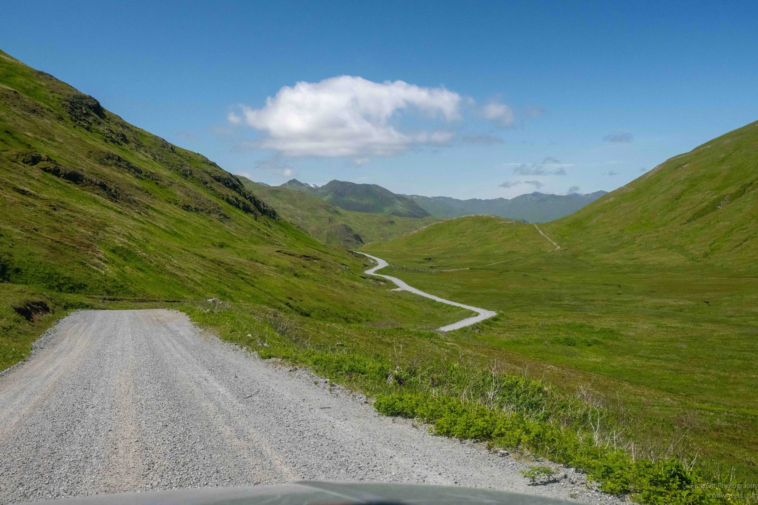
One thing I hadn't expected was just how wild the island becomes only a few miles outside of town. Within ten or fifteen minutes we had left the fishing industry behind and were driving through broad green valleys, along rugged coastlines, and over mountain passes with views in every direction. Other than a gravel road winding through the hills, there wasn't much evidence that people had ever been here.
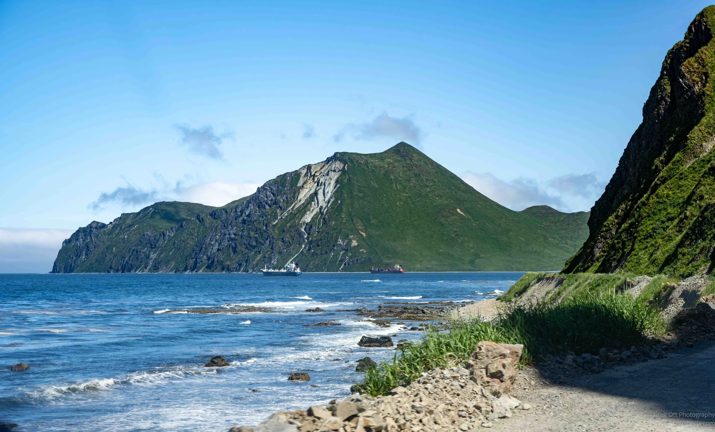
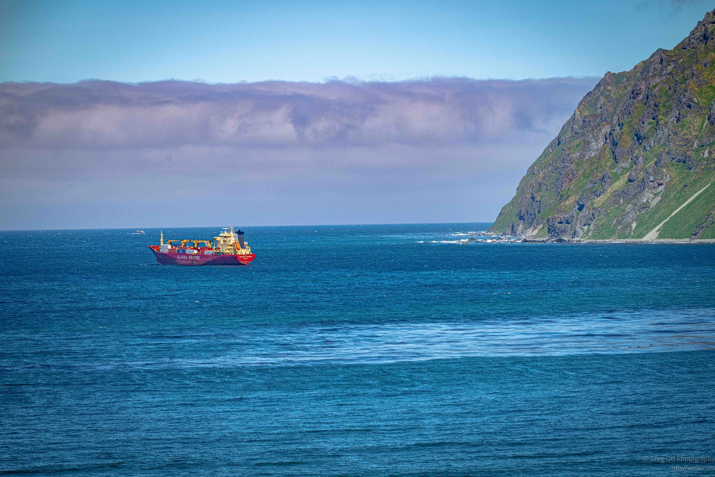
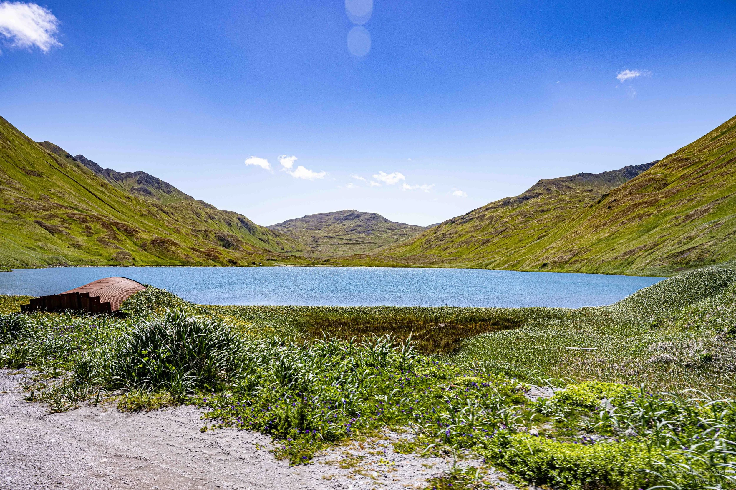
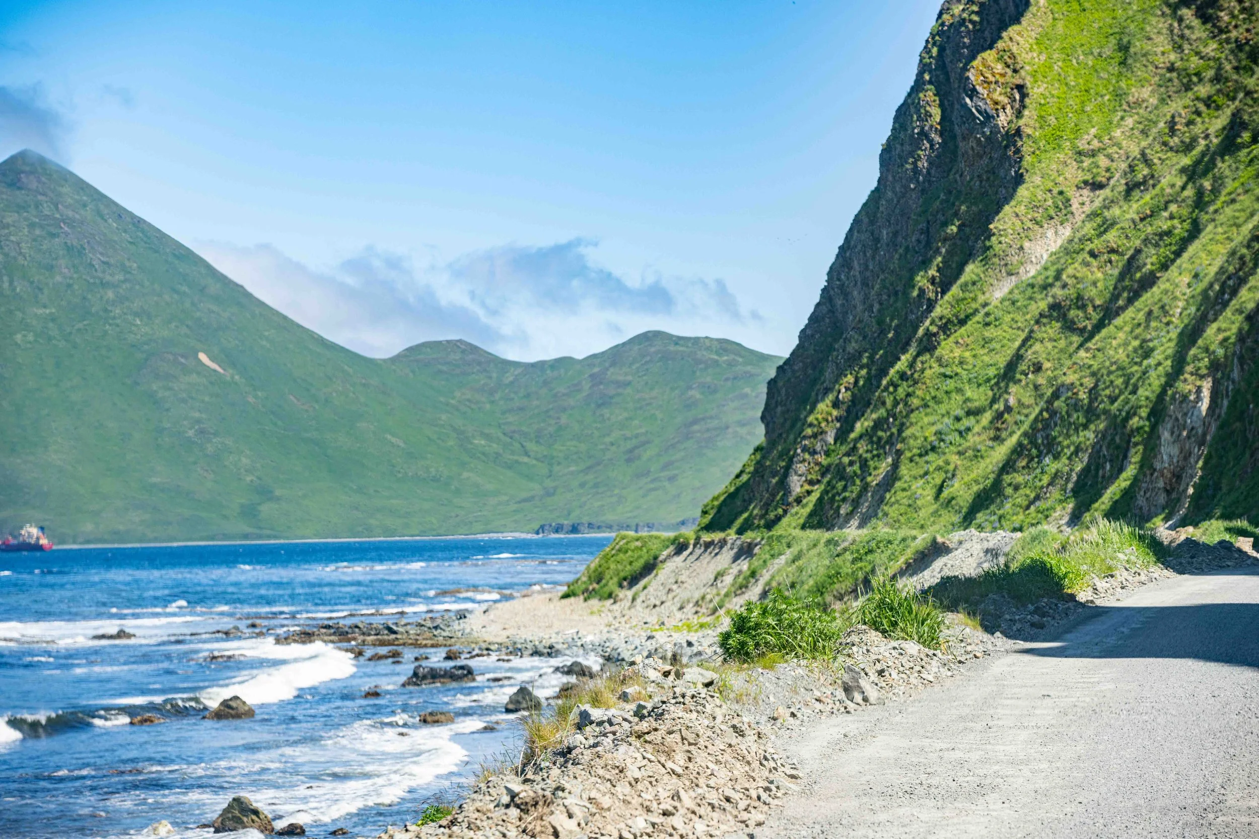
To be honest, it didn't even look like the Alaska I had imagined. Before this trip, Alaska meant spruce forests, glaciers, snow-covered mountains, and grizzly bears. The Aleutians are completely different. The mountains are almost entirely covered in lush green grasses, there are no trees, and the landscape rolls from one volcanic ridge to the next before dropping into the deep blue waters of the Bering Sea. At times it reminded me more of the Scottish Highlands or Iceland than the Alaska most of us picture. Every time we rounded another corner, there was another overlook that made me ask Dennis to pull over for a minute.
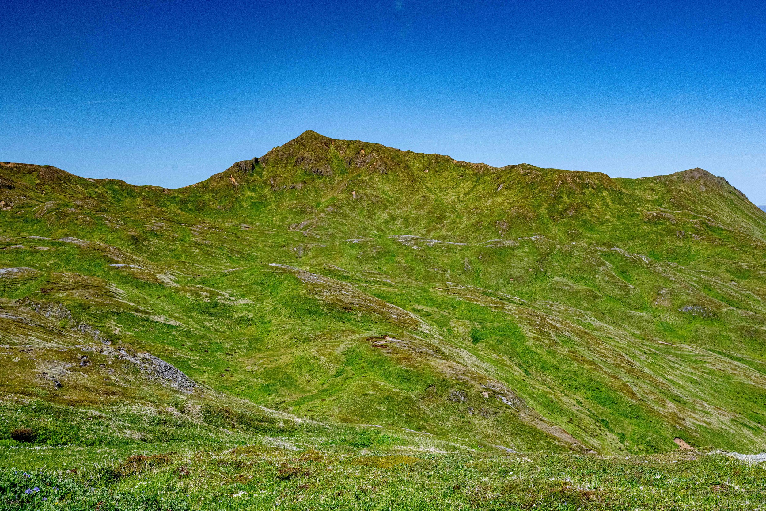
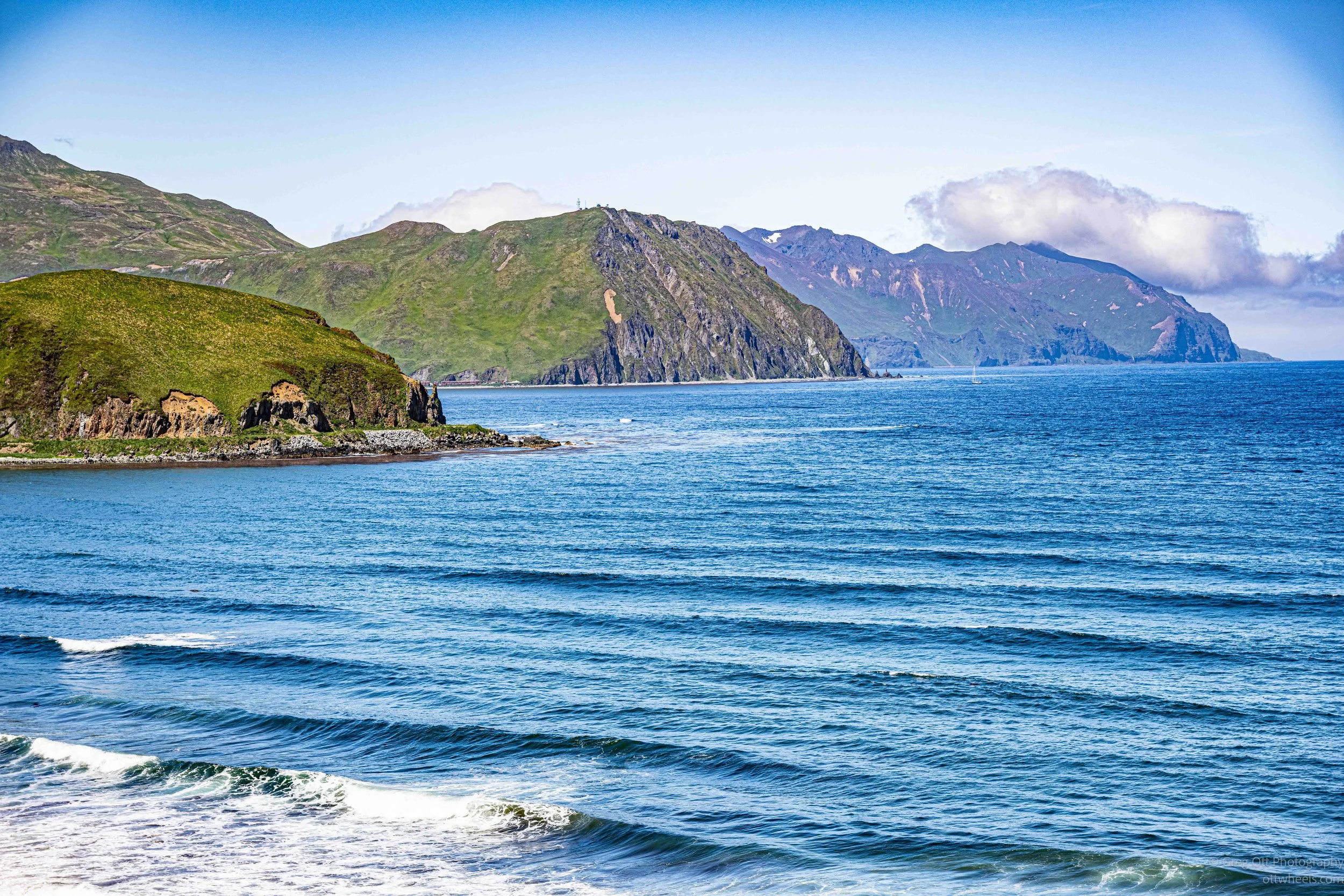
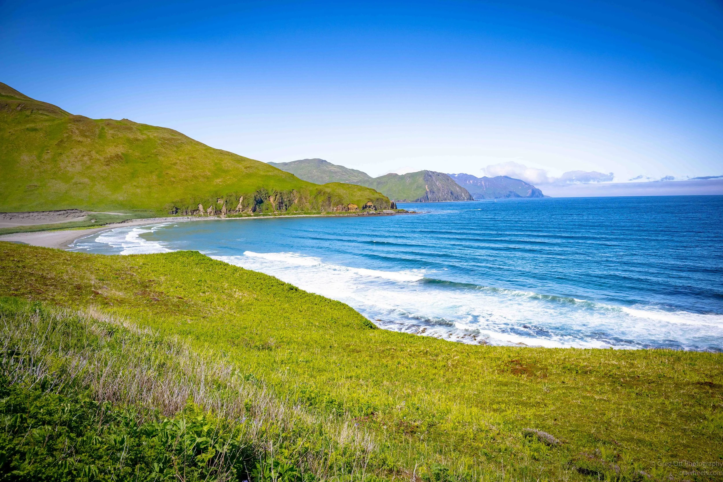
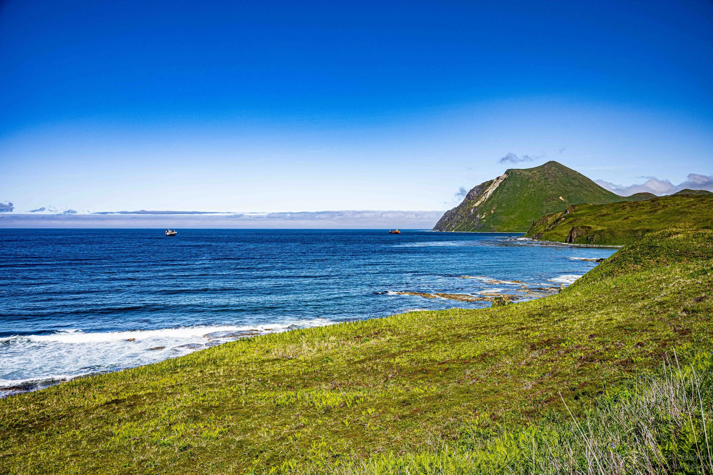

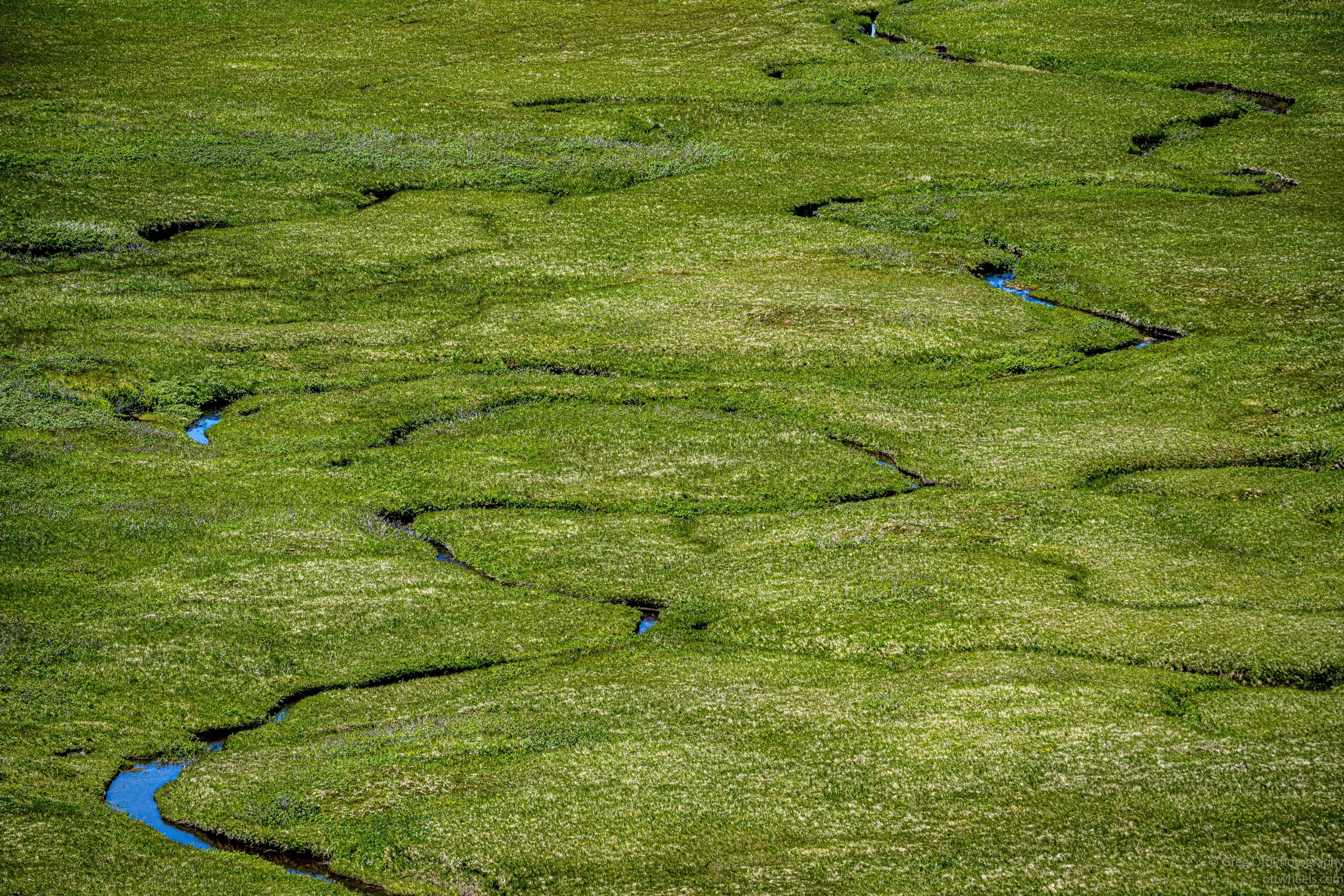
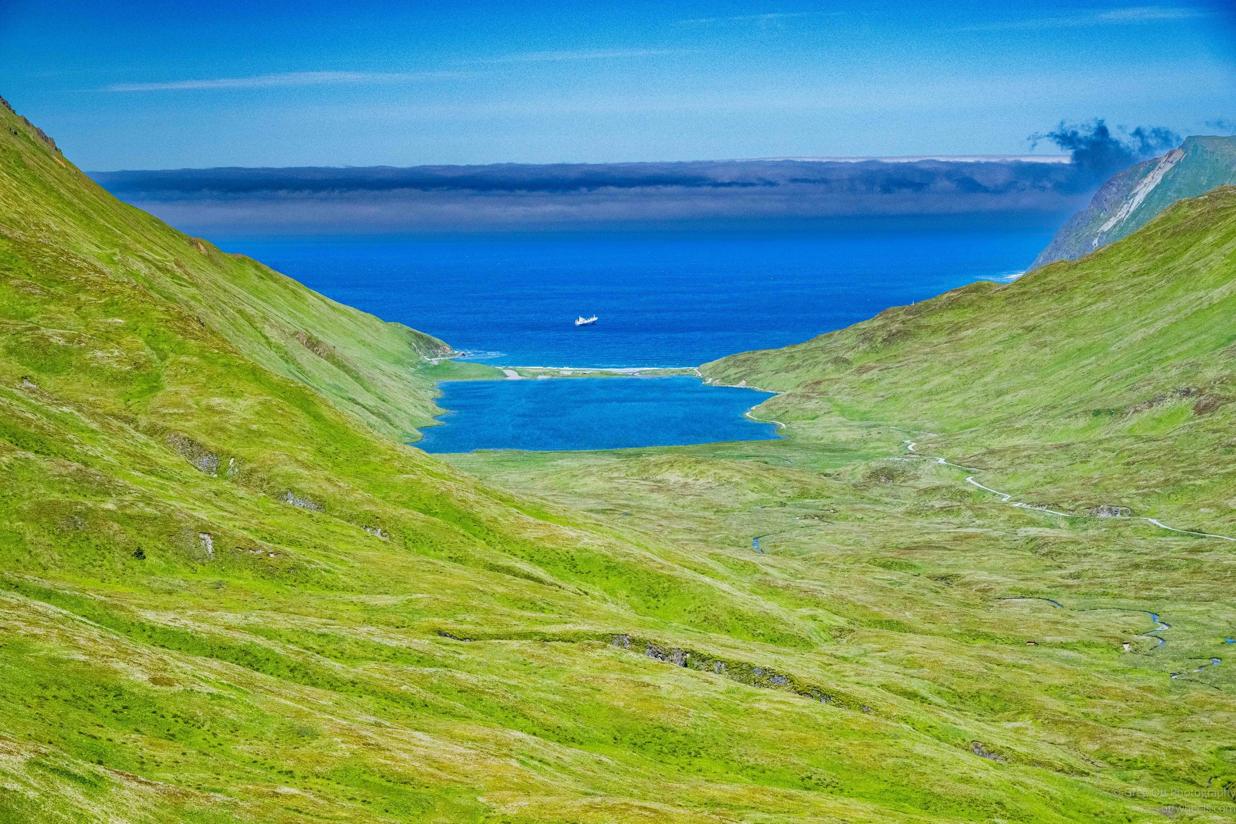
The coastline was spectacular. Steep cliffs dropped into the ocean while cargo ships and fishing vessels moved quietly offshore. Inland, small lakes filled ancient volcanic valleys, and narrow streams wandered through the tundra like blue ribbons. From several overlooks we could see clear across the island, with bays on both sides and mountains stretching as far as we could see. It was hard to believe that one of the busiest fishing ports in the world was sitting just over the next hill.
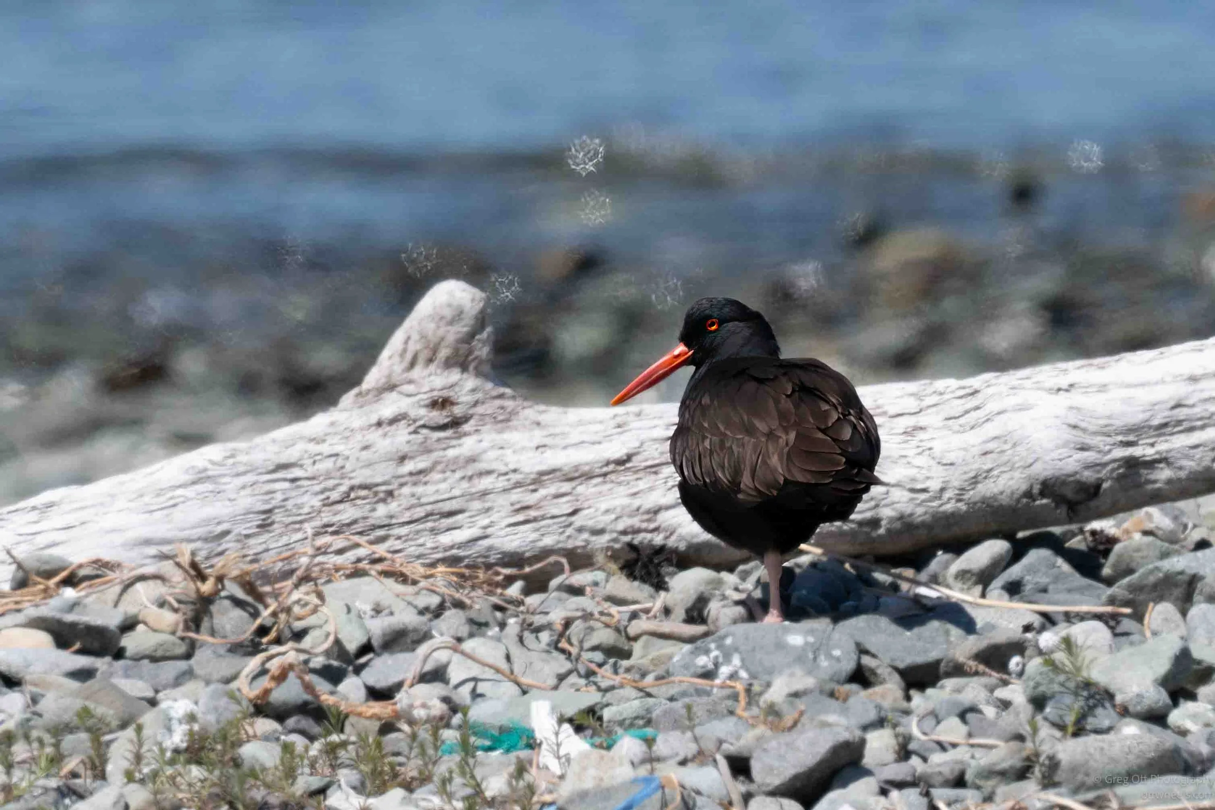
This is where Dennis really impressed me. Every few minutes he'd point toward a distant cliff or rocky shoreline and say, "Pelagic Cormorant." I'd stare in the direction he was pointing and see absolutely nothing. Then it was a Black Oystercatcher. Still nothing. A minute later he'd spot a Pigeon Guillemot, a Glaucous-winged Gull, another Bald Eagle, or a Common Raven.
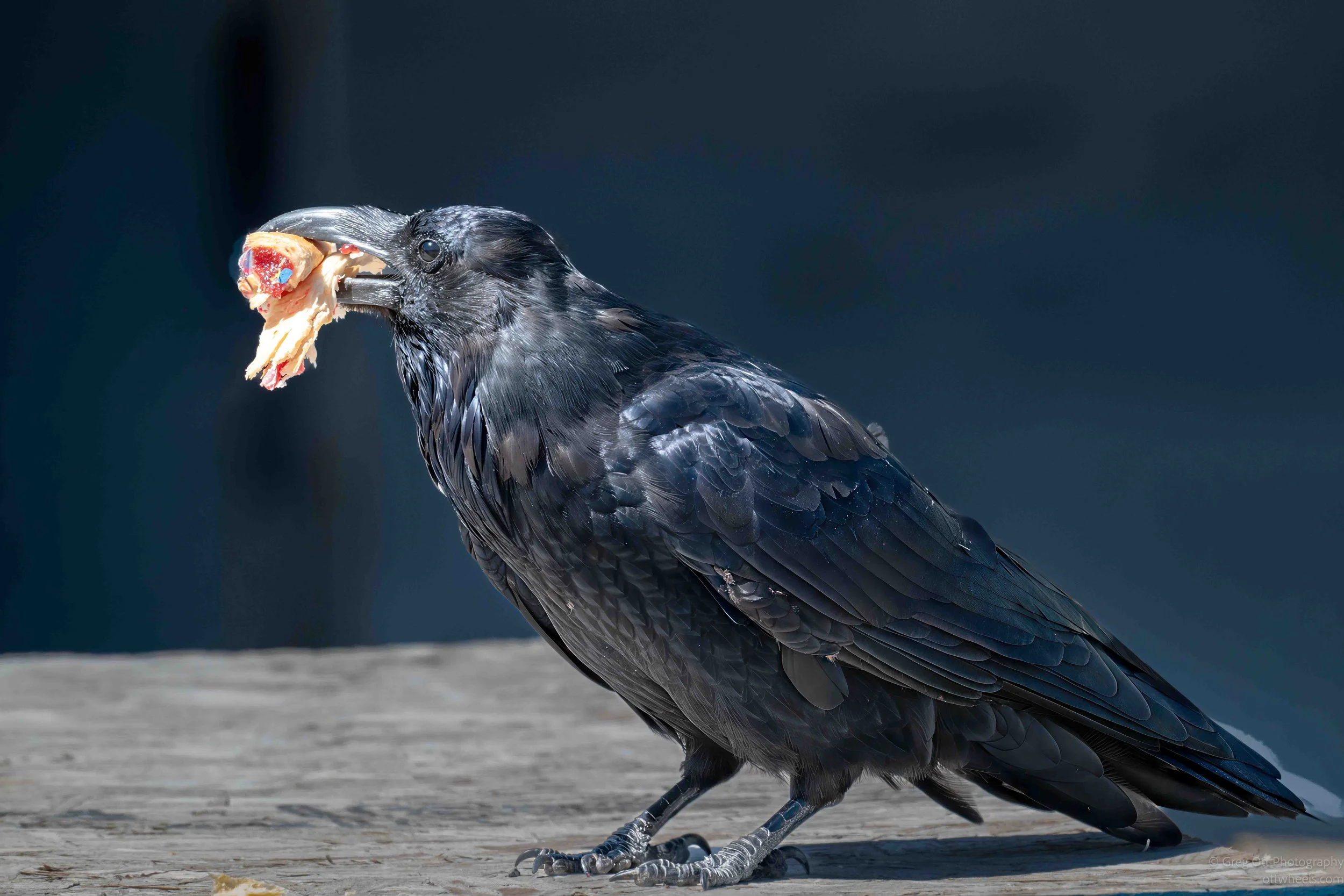
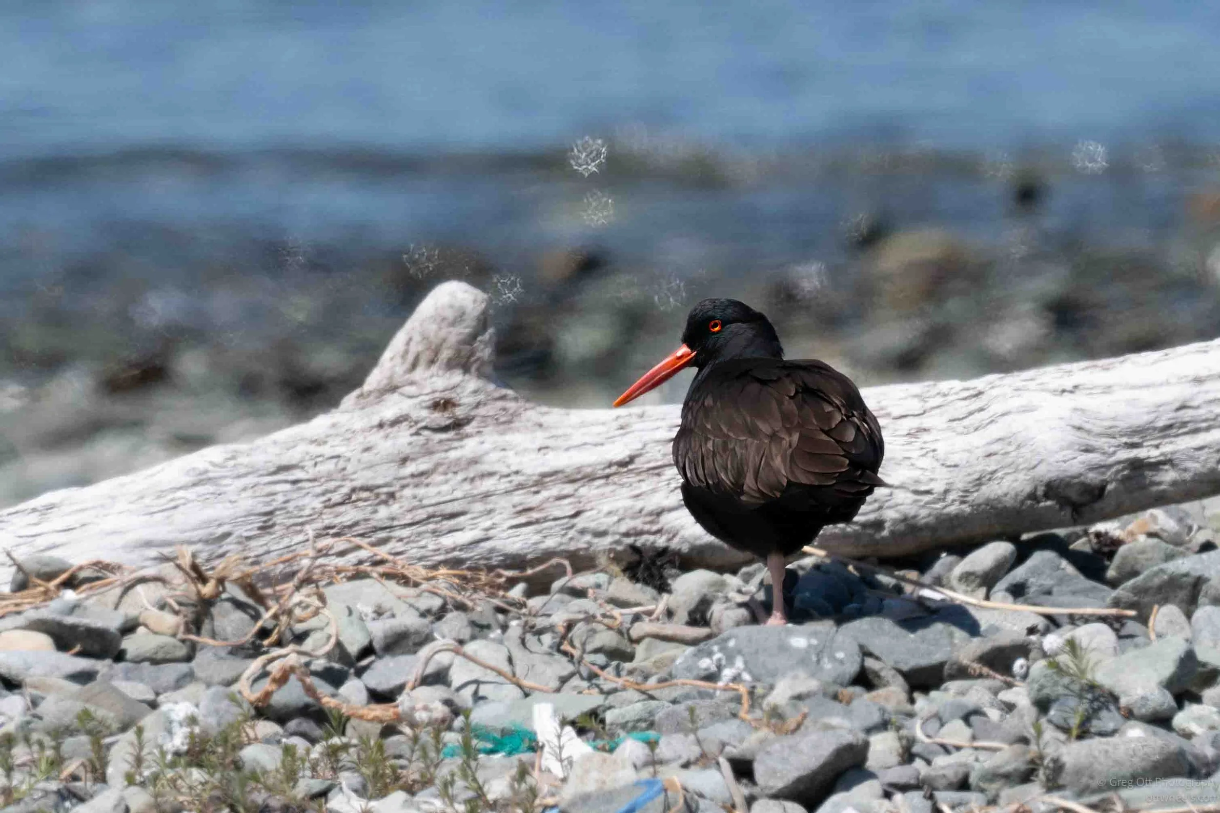
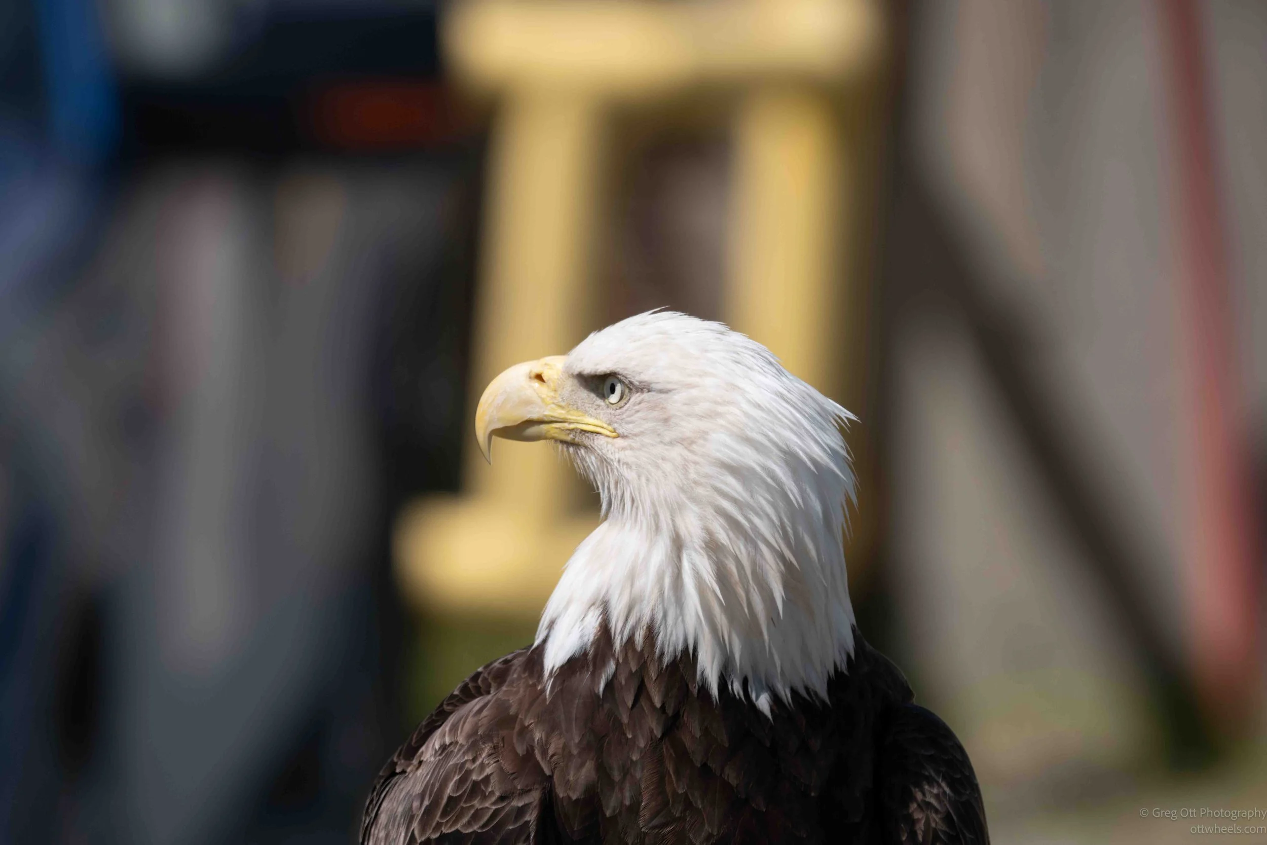
The birds were there. I just wasn't seeing them. Dennis had spent a lifetime on these islands and knew exactly where to look. Once he pointed one out I could usually find it, but there was no chance I would have spotted it on my own. By the end of the afternoon we had seen nearly every common bird around Unalaska that time of year, including Bald Eagles, Pelagic Cormorants, Pigeon Guillemots, Black Oystercatchers, Glaucous-winged Gulls, and Common Ravens. The only common species we didn't find was the Rock Ptarmigan. I did manage photographs of Bald Eagles, Horned Puffins, Black Oystercatchers, and Common Ravens, but several of the others stayed just far enough away to avoid my camera.
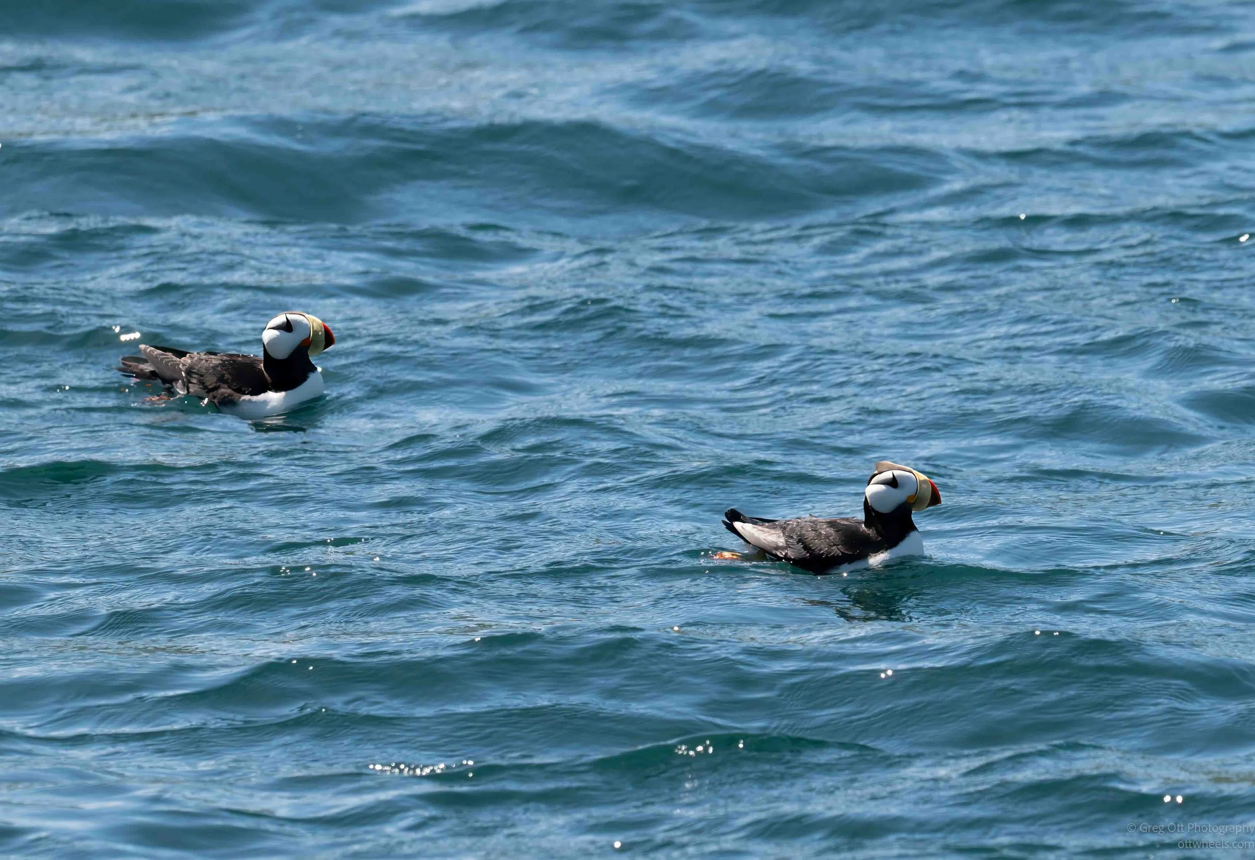
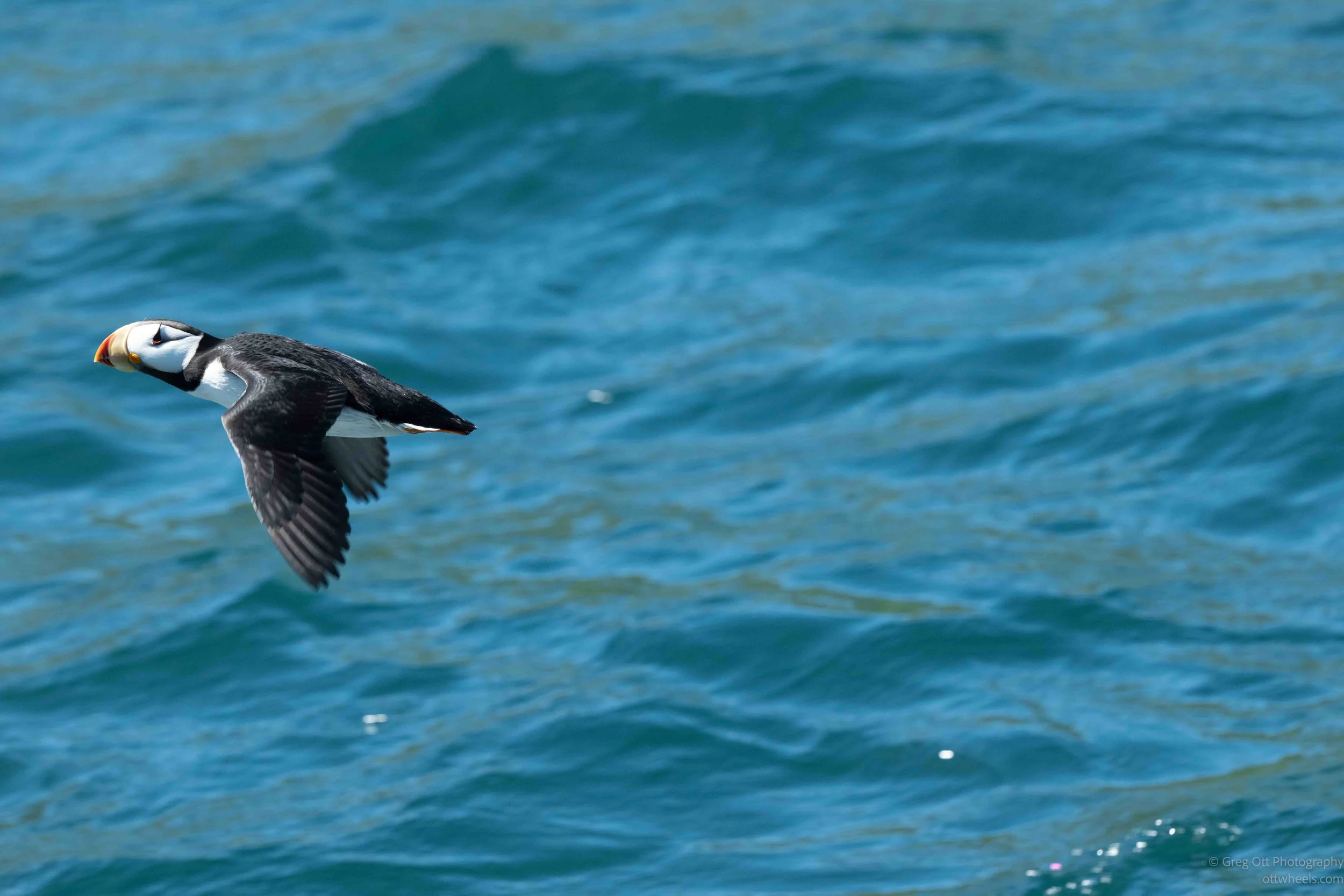
His eyesight didn't stop with birds. We'd pull over at an overlook and he'd point toward what looked like a tiny speck several miles offshore. Before I'd even found it with my binoculars, he was already telling me what kind of vessel it was and what it was probably doing. Sometimes he recognized the boat immediately by its profile or the way it rode in the water. Other times he'd pull out a ship-tracking app that identified every vessel in the area, where it had come from, where it was headed, and other details. Watching him switch effortlessly between identifying birds on the cliffs and ships on the horizon made me realize I wasn't just touring the island—I was seeing it through the eyes of someone who has spent his entire life here.
It was getting late as we drove back along the coast toward the hotel. We sat in his truck for a few minutes while I paid him with a credit card and thanked him for the day. I wanted him to know how much I had enjoyed the tour. It wasn't the polished, scripted experience you might find at a national park or famous historical site. Instead, it was something much better—a deep dive into the history, people, and stories of Dutch Harbor told by someone who genuinely loves this place. Dennis wasn't just reciting facts. He was sharing his community. As I write this, I realize I've left out dozens of stories simply because this post is already so long. By the end, I realized I hadn't just taken a sightseeing tour—I had spent five-plus hours with someone who had lived much of the history he described.
Hopefully, though, it gives you a better sense of what makes Dutch Harbor so fascinating. If you visit, I highly recommend getting in touch with Lynda and Dennis.
Back At The Grand Hotel
I was exhausted, mostly because of whatever had disagreed with me the day before and the lack of sleep that followed. As I got out of the truck, I noticed the same man sitting outside the hotel who had been there when I left that morning. He followed me into the lobby and struck up a conversation at the front desk.
"That's a pretty nice setup you've got there," he said. "Do you do that professionally?"
I laughed and told him I wished I did, but that photography was mostly a passion project. I enjoy documenting what I see and sharing it on my blog. As it turned out, he was a professional videographer who had worked for ESPN, the military, and a number of major companies. For the next half hour, he walked me through the evolution of professional video—from the days of huge tape formats to direct-to-disk recording and modern digital workflows. He had left that world back in the early 2000s, so much of what he described was new to me. It was an unexpected and fascinating conversation. Somewhere along the way, one of the women at the front desk overheard us and asked for the address of my blog.
Eventually, I made it to my room, collapsed onto the bed, and was asleep almost immediately. It had been one of those days packed with history, incredible scenery, and conversations I never expected to have. Those are often the days I remember the longest.