I woke up a few miles outside Casper, Wyoming, after a surprisingly quiet night. There had been little traffic on the nearby road, and I slept well. My first priority was finding a Starbucks where I could enjoy my morning espresso and spend a couple of hours writing and editing photos.
Google Maps sent me across town, a nearly 20-minute drive thanks to interstate construction. When I arrived, I discovered it was essentially a drive-through with no indoor seating. I'd encountered one of these before in Little Rock, Arkansas, but it wasn't what I was looking for.
I searched for another location, and Google sent me through what seemed like every road construction project in Casper. At one point, I encountered a bridge with an 11-foot clearance. My van is 10 feet, 6 inches high, so I stopped to take a careful look before proceeding. I made it through without a problem, although the truck driver behind me didn't seem to appreciate my caution. It didn't cost him any time since traffic was stopped at the next light anyway.
The next Starbucks turned out to be a small counter inside an Albertsons grocery store. I was beginning to wonder how difficult it could be to find a place to sit and have coffee in a city of roughly 50,000 people. Fortunately, there was one more location, ironically not far from where I'd started, and it actually had seating!
By the time I settled in, I'd spent nearly an hour touring Casper in search of coffee. At least I'd seen quite a bit of the city, particularly its road construction. The experience prompted me to take a closer look at the Starbucks app, where I discovered two useful filters: Open Now and Café Seating. That would have saved me considerable time. Something learned for the next town.
Finding a Bicycle Route
While having coffee, I read about Casper's trail system and decided to go for a longer bicycle ride. I've recently started using Ride with GPS to find routes in unfamiliar areas. There's a modest annual subscription fee, but the detailed route information and ability to download GPS files directly to my Garmin Edge make it worthwhile. I found an interesting 45-mile route and drove to the starting point, only to discover it was in an industrial area surrounded by automotive repair shops, with nowhere convenient to park the van. I tried another route of 37 miles but ran into the same problem. Eventually, I returned to the Tate Pumphouse Trailhead along the North Platte River, where I'd stopped the previous day. At least I knew there was parking and easy access to the trail.
Cycling Through Casper
The ride started much like the rest of my morning. I headed toward downtown Casper, but after about a mile, the trail ended at a construction closure. A large orange plastic barrier stretched across the path, leaving no obvious way around it.
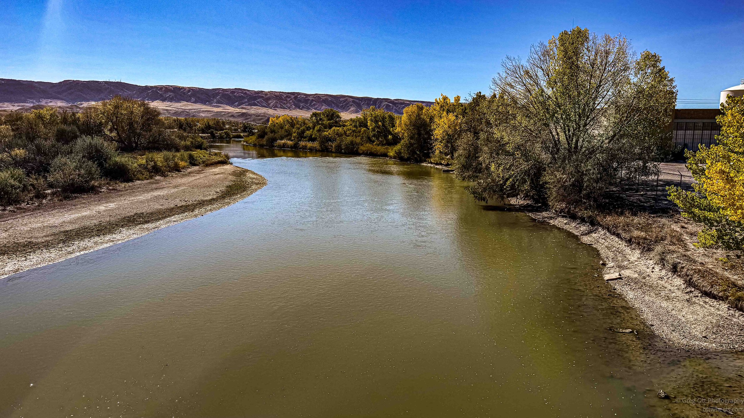
I turned around and headed in the opposite direction. The trail crossed the North Platte River and eventually looped back toward Casper alongside a golf course. It was a pleasant section of riding, and I began to think I might finally have found the trail system I had been reading about.
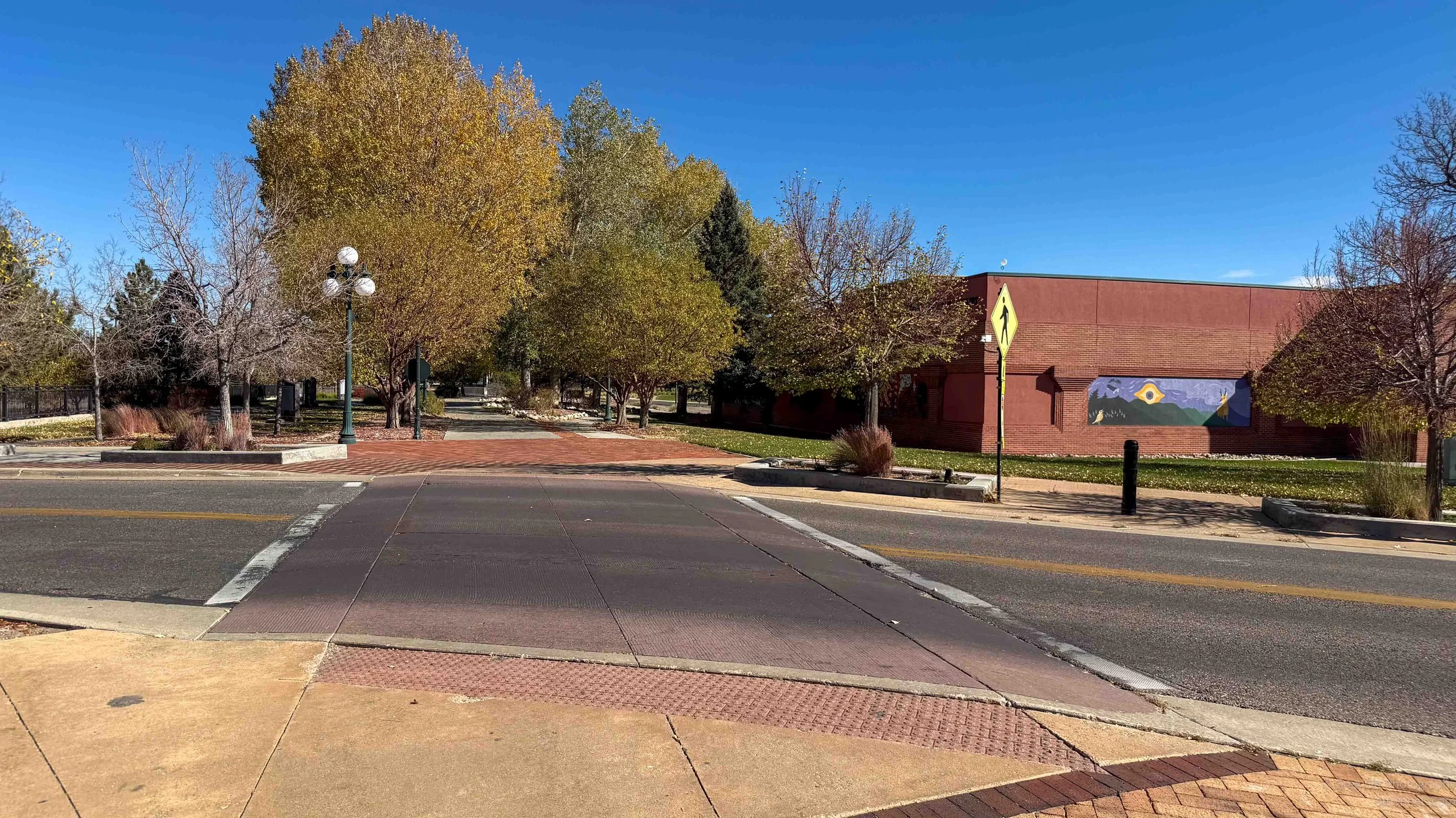
Downtown Casper has made an effort to accommodate bicycles, with sections of streets redesigned to include designated cycling lanes. Unfortunately, some of the businesses along these streets appeared unaware of their new purpose. Delivery trucks were parked directly in the bicycle lanes, forcing me back into traffic.
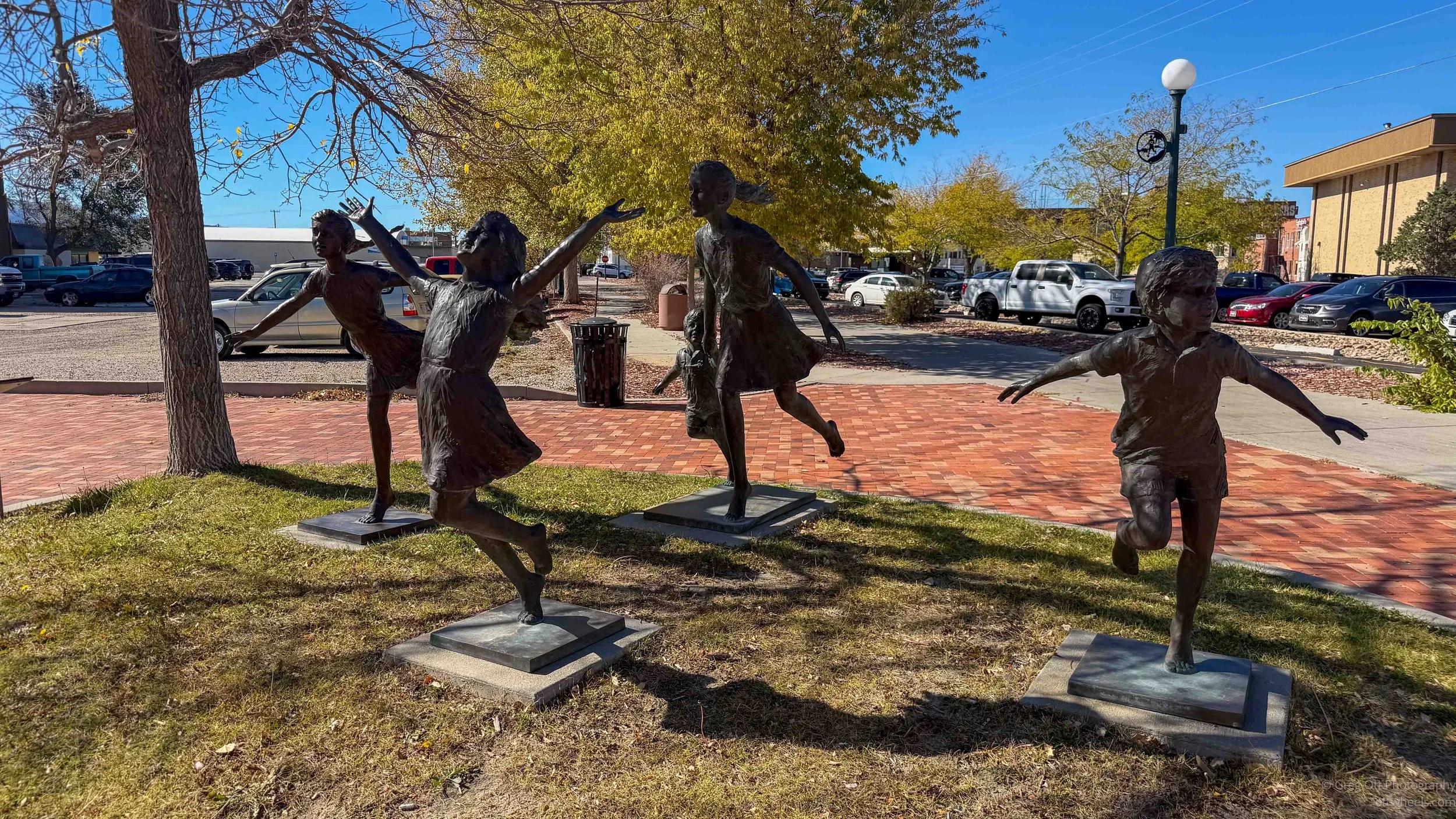
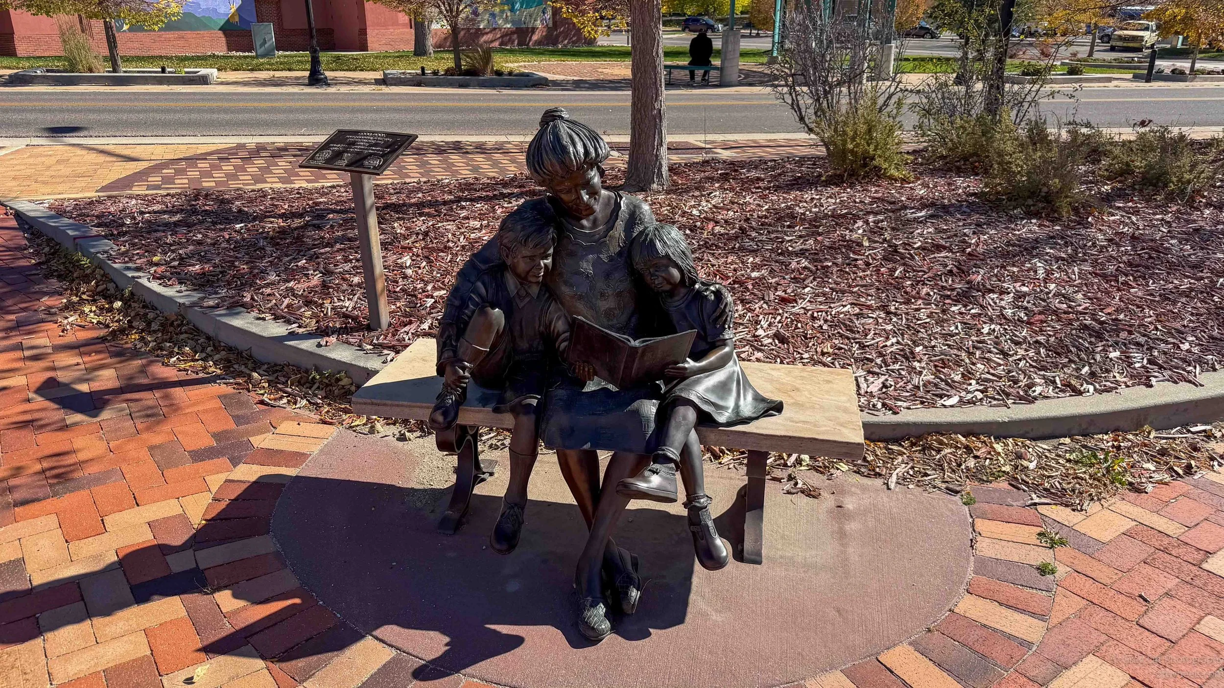
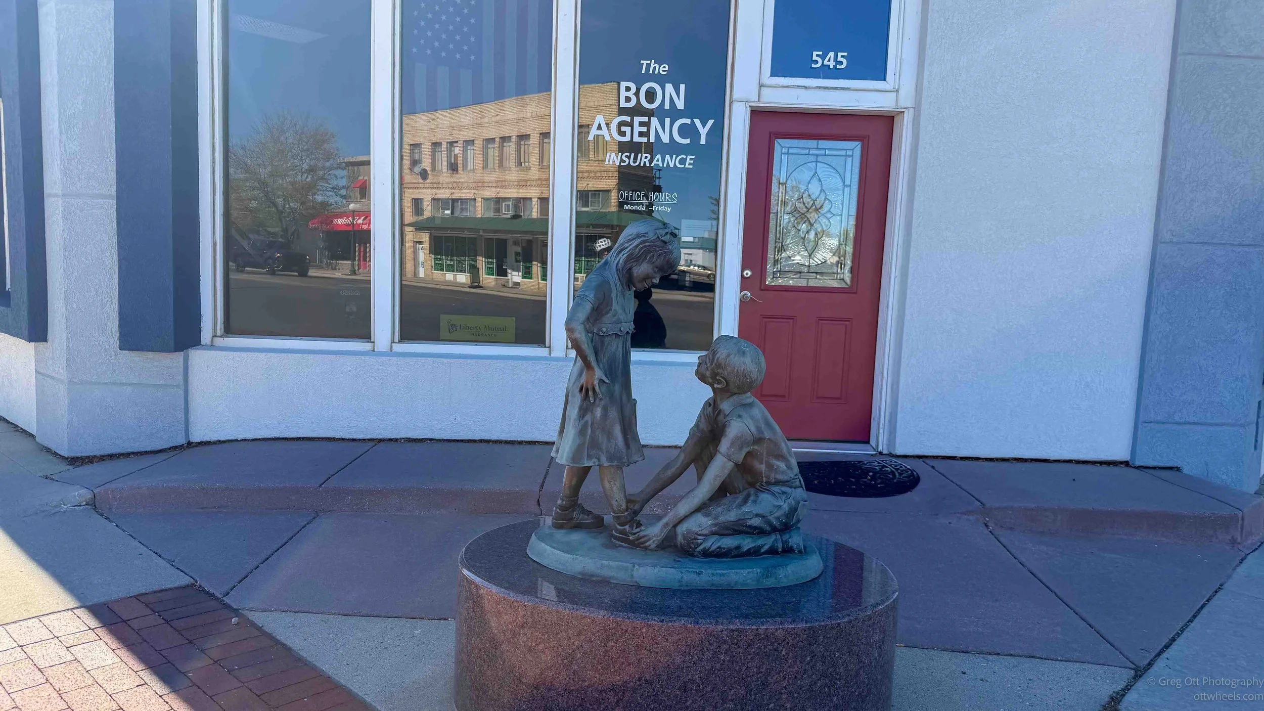
Over the next three hours, I explored various sections of Casper's bicycle routes. There are quite a few marked trails and designated lanes, but I never managed to find a continuous network connecting them. A trail might run for a mile or two before ending, leaving me to figure out how to reach the next section. Sometimes the signs disappeared altogether.
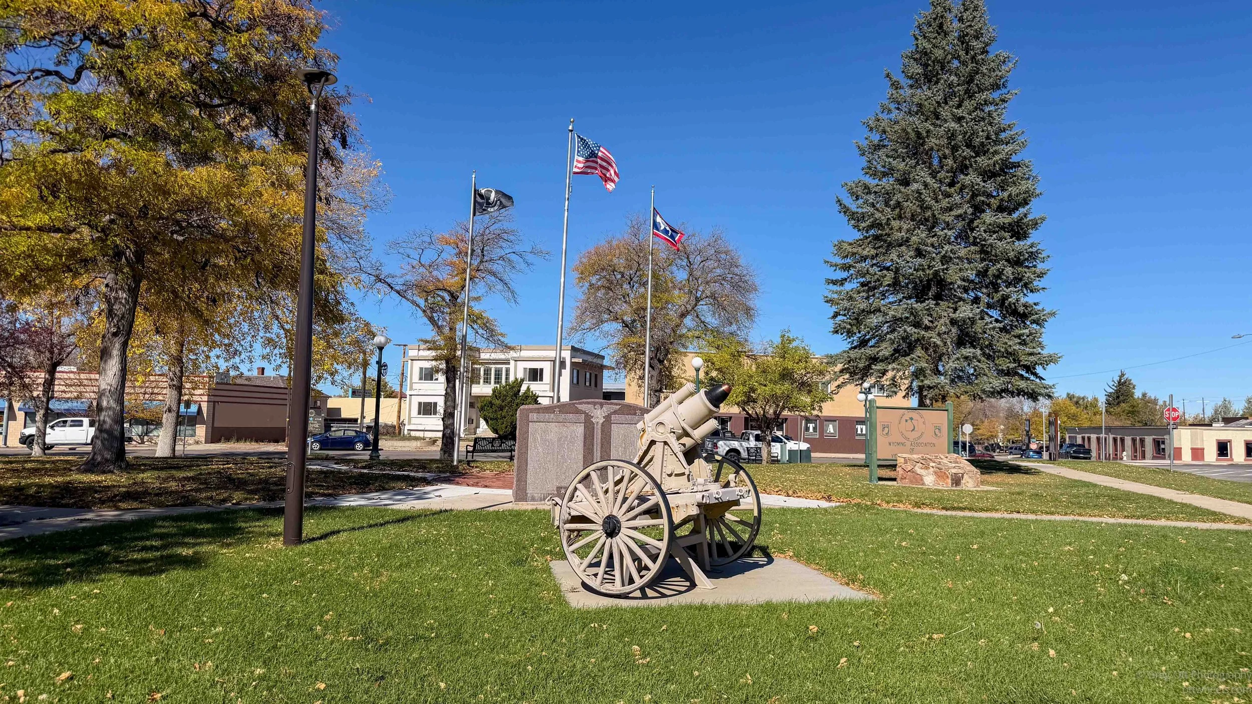
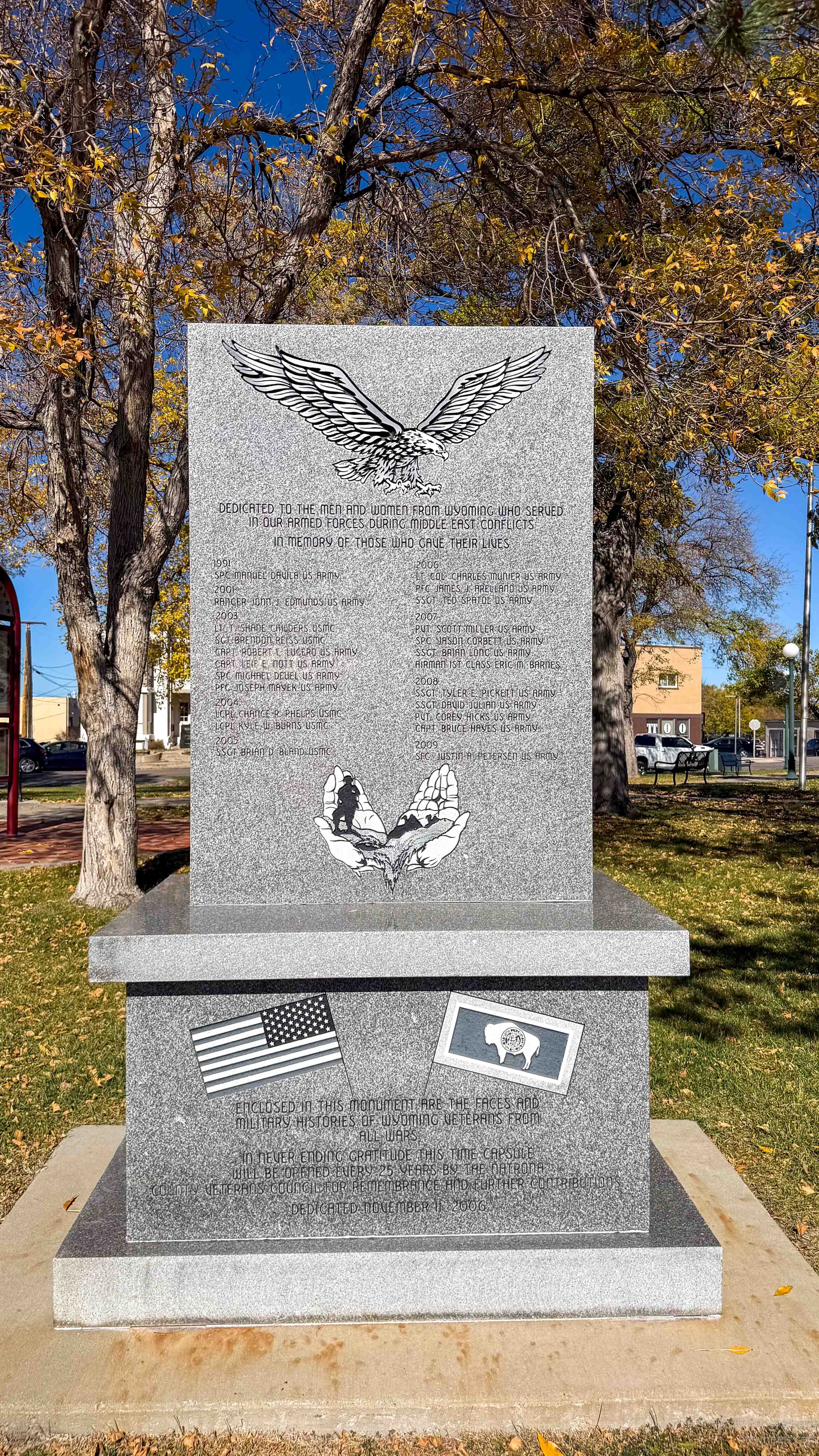
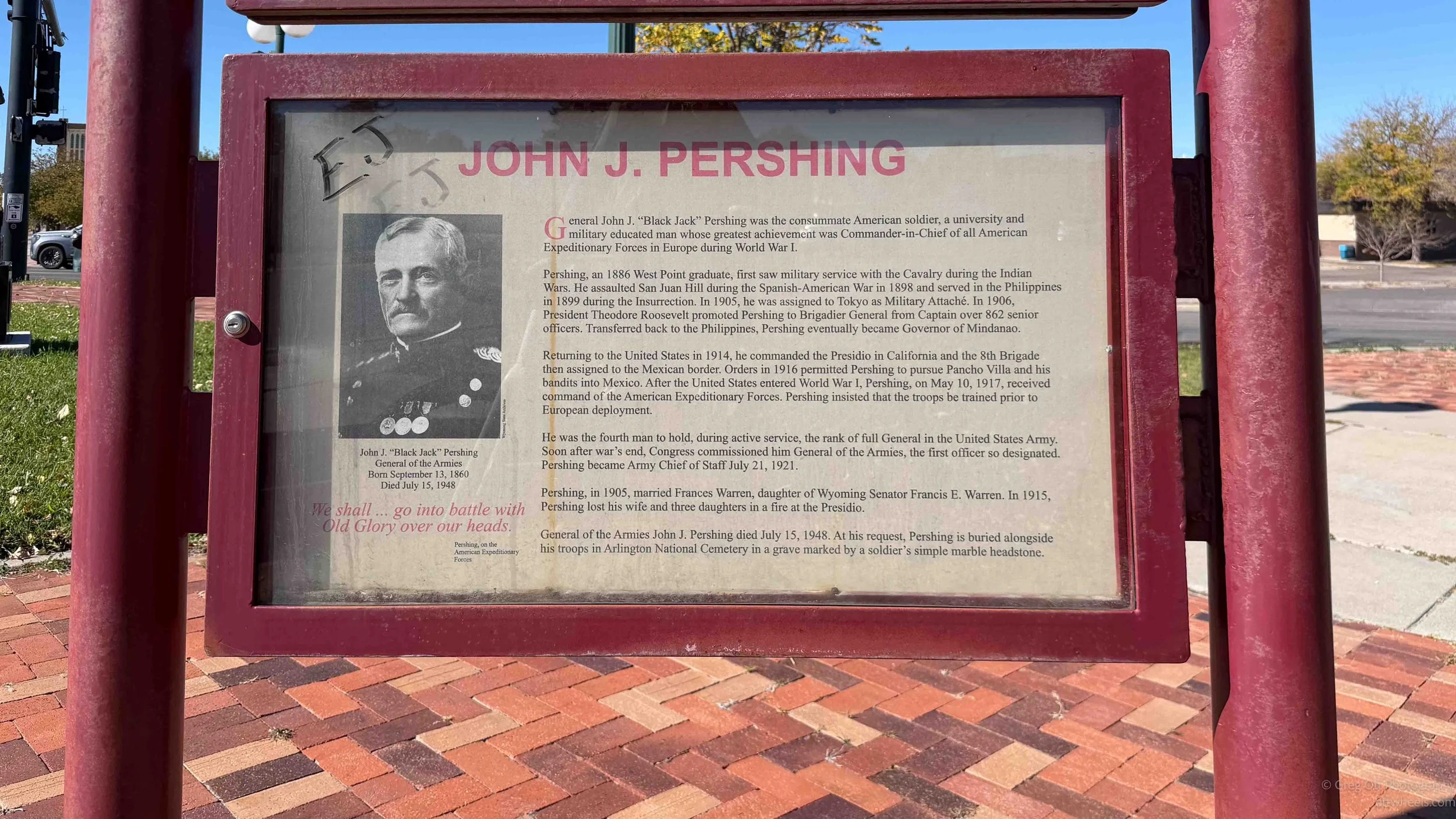
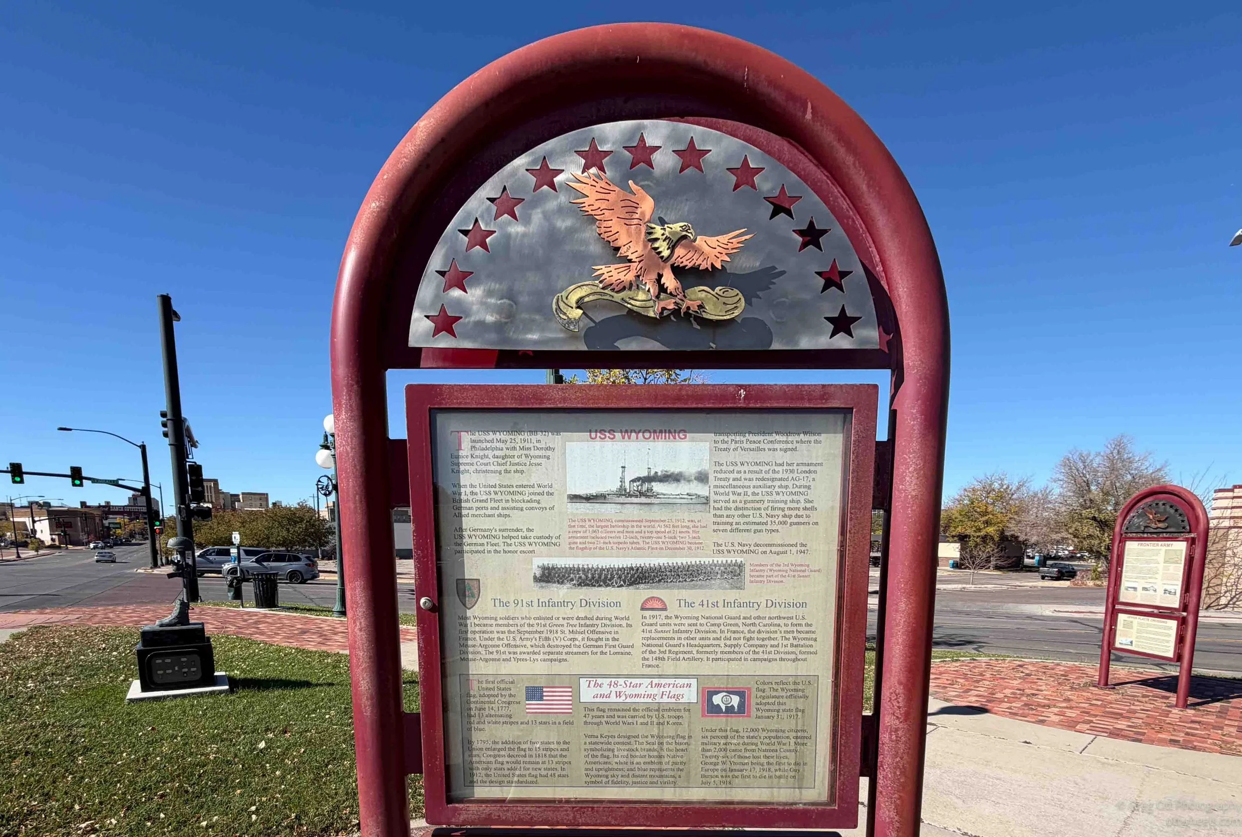
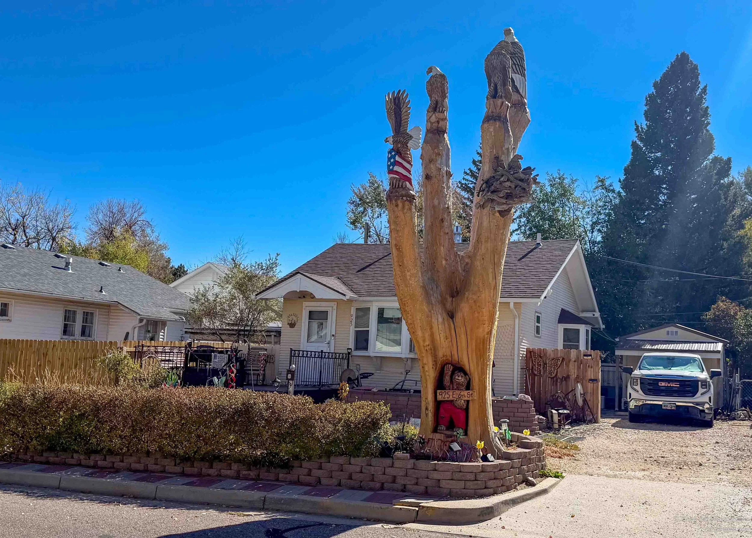
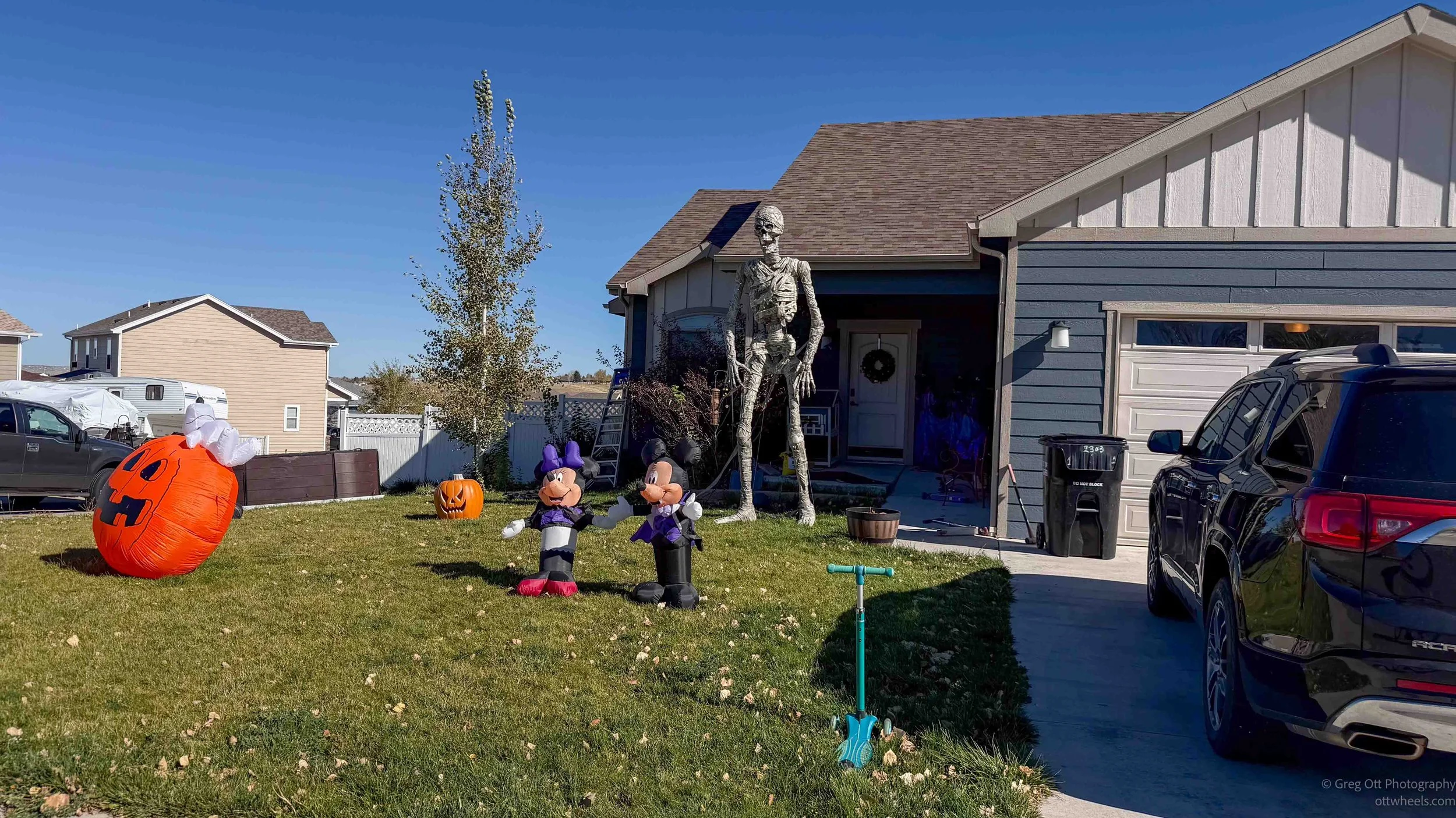
Rather than follow a particular route, I began exploring neighborhoods, climbing hills and trying to avoid the busier streets.
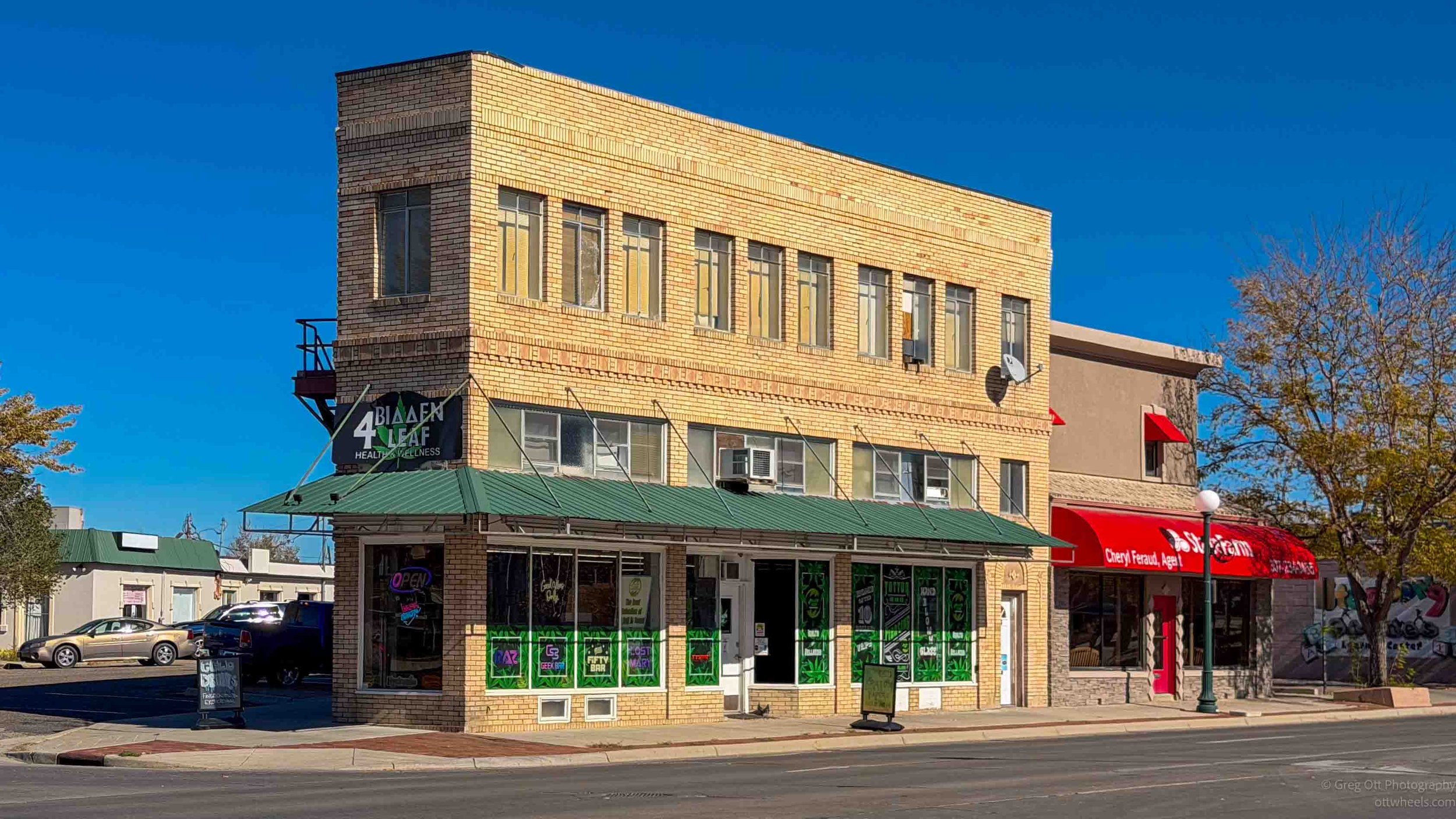
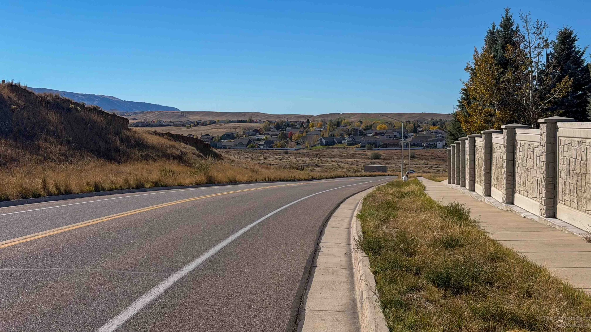
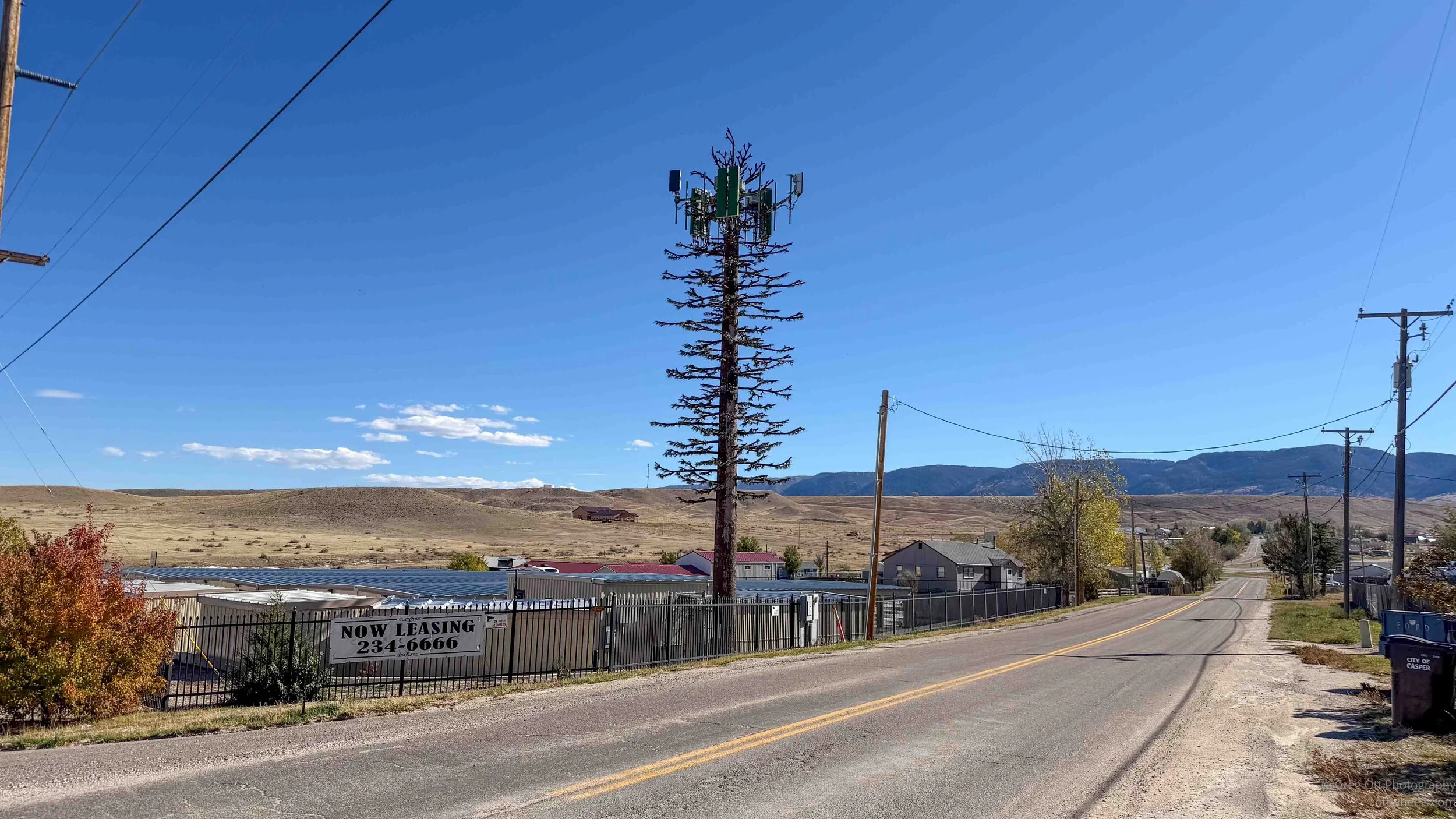
Casper is a sprawling city, with residential development extending well beyond the older downtown area, particularly toward the east. Many of the newer neighborhoods consist of large developments with houses built in similar styles. Farther out, perhaps eight miles from downtown, I came across some enormous homes on what appeared to be irrigated ten-acre properties. It was quite a contrast to the older neighborhoods closer to the center of town.
At one point, I reached a large shopping center where the bicycle routes seemed to disappear entirely. I started working my way back through residential streets, looking for something familiar. I knew generally which direction I needed to travel, but I was now following a completely different route from the one I had taken out.
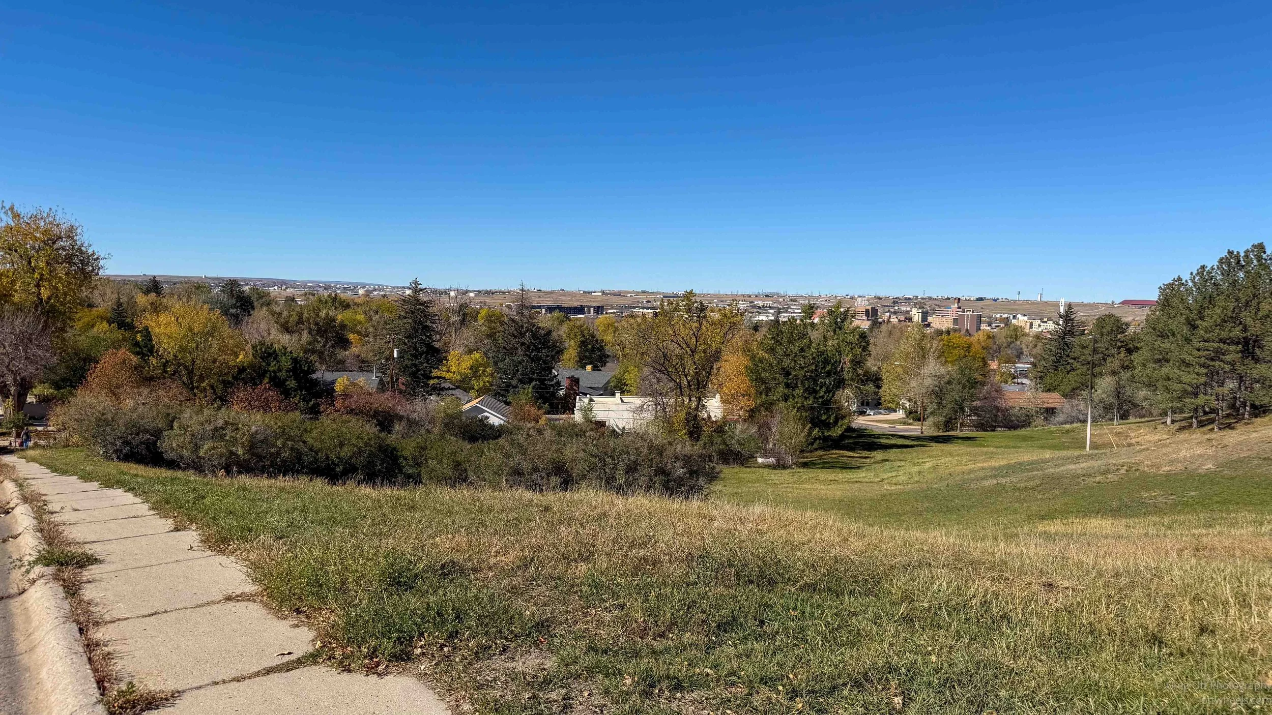
Several times, a marked bicycle route led directly into a cul-de-sac, forcing me to turn around and retrace my path. Eventually, I decided to keep riding uphill. My thinking was that if I could reach a high enough point, I would be able to see downtown Casper and get a better sense of where I was.
It wasn't the most efficient navigation strategy, but it gave me an excuse to explore more of the city and get some climbing into the ride.
Casper promotes its bicycle infrastructure, and I could see evidence that the city is investing in improvements. There are some attractive trails, particularly along the North Platte River, and the newer bicycle lanes downtown are a step in the right direction. What seems to be missing is the connection between them.
I also had several uncomfortable encounters with drivers, mostly pickup trucks turning across my path or pulling out in front of me, only to stop a short distance farther along. It wasn't clear whether they hadn't seen me or simply didn't consider the bicycle part of the traffic.
Cycling infrastructure takes more than painted lanes and signs. It also requires drivers to become accustomed to sharing the road with cyclists. Casper appears to be moving in that direction, but there's still some work to do.
Despite the navigation challenges, I enjoyed the opportunity to explore the city from a bicycle. Riding through residential neighborhoods and along the river gives me a much different impression of a place than driving through it. I also ended up getting considerably more exercise than I had originally planned.
Leaving Casper
I'd been in Casper for about a day and was ready to continue south. Before leaving, I stopped at Planet Fitness for a shower and some time in one of their massage chairs. When I asked about them, the employee mentioned hydro beds and deep tissue machines. I wasn't familiar with the latter, but after he explained how the adjustable rollers worked along your back, I realized it was what every other Planet Fitness I'd visited called a massage chair. After several hours on the bicycle, ten minutes in the chair felt wonderful. I could easily have stayed another thirty.
With a shower behind me and the van ready to go, I found a free camping area at East Allen Lake, somewhere along my route toward Laramie. I didn't know much about the location, other than that it was in a remote part of Wyoming and appeared to be a reasonable place to spend the night. I entered it into Google Maps and headed south, not realizing just how isolated the area was or exactly where I was going to end up.
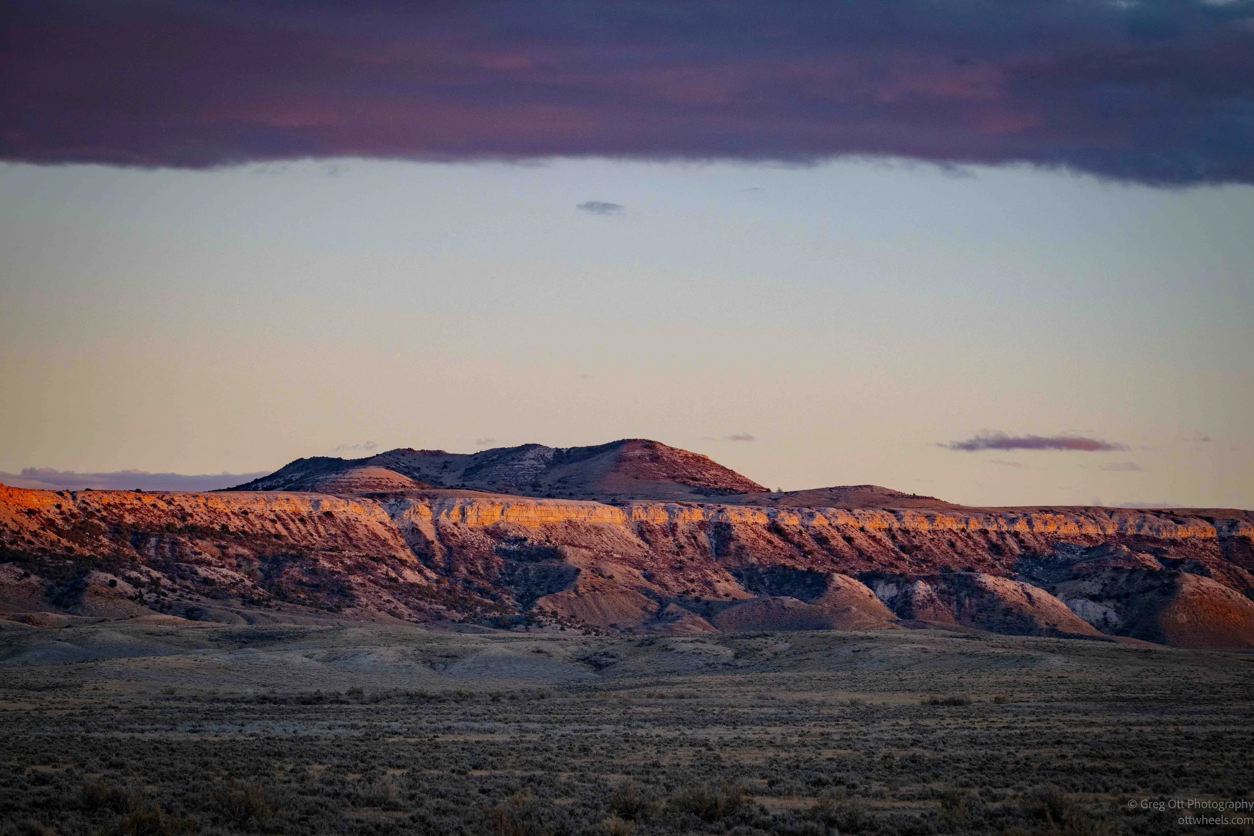
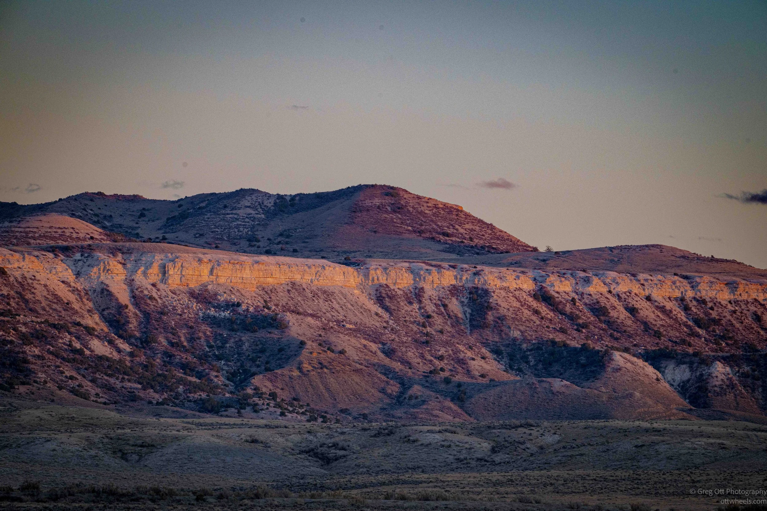
It was a long drive south from Casper, and the sun was already beginning to settle toward the horizon. Much of the drive took place during the golden hour, with the low sunlight illuminating the rolling hills and vast open spaces of Wyoming. I was tempted to stop for photographs numerous times, but I also wanted to reach the campsite before dark. After a day of navigating construction zones, disconnected bicycle trails and unfamiliar neighborhoods, it was nice to be back on the open road. There was very little traffic, and the evening light made the drive particularly enjoyable.