Seward AK
July 12 - Seward AK
The day after my trip around the Kenai Peninsula, I was feeling worse. I now had a low-grade fever and not much energy. After sleeping until 10 a.m., I walked down the street and found Nature's Nectars Coffee Shop. The two people at Nature's Nectars were very friendly. As their website states, "A great cup of coffee and friendly service can make your day." They were truly engaging.
"Where are you from?" was the first question. This led to a conversation about travel. One of them was moving to Albuquerque, New Mexico. We talked about Santa Fe, the artwork, and the tram way in Albuquerque. At the very top of the tram, there is a fun restaurant (Ten 3) where I ate with friends. It was the first time I had tried escargot. That led to a conversation about the strangest foods we'd ever eaten. Eventually, I had my coffee in hand. The coffee was excellent, and the conversation may have been even better.
At the other end of the building is Supaluck's Bakery with its flaky butter croissants. This is my match made in heaven. The conversation was much more businesslike here, and the croissants were excellent. They had already sold out of all the chocolate croissants. I finished this delightful breakfast and headed across the street to the Kenai Fjords National Park Visitor Center.
It was pouring down rain, and I had several layers on along with an umbrella. I stopped at the information desk and picked up a Kenai Fjords guide. The ranger pointed out a few of her favorite trails, recommended what gear to bring, and highlighted the best locations for photography. She mentioned that the Exit Glacier trails would be especially good for macro photography because of the wildflowers. As we finished talking, she said, "The film is about to start in a couple of minutes if you're interested."
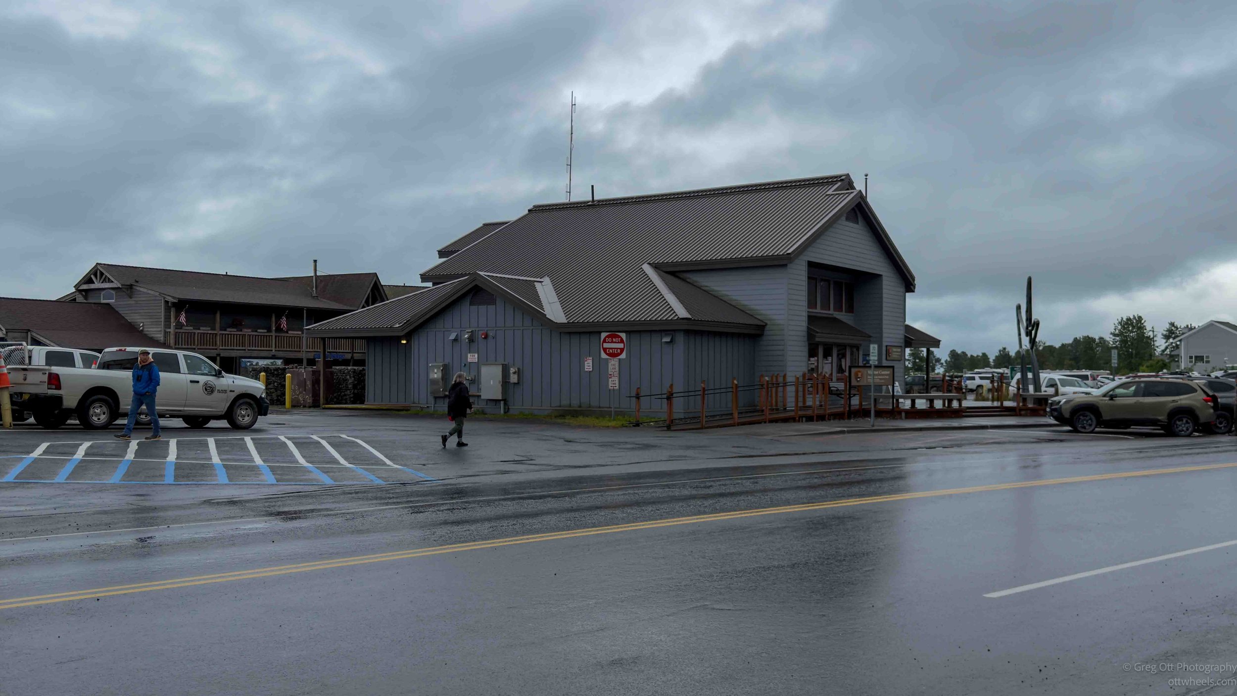
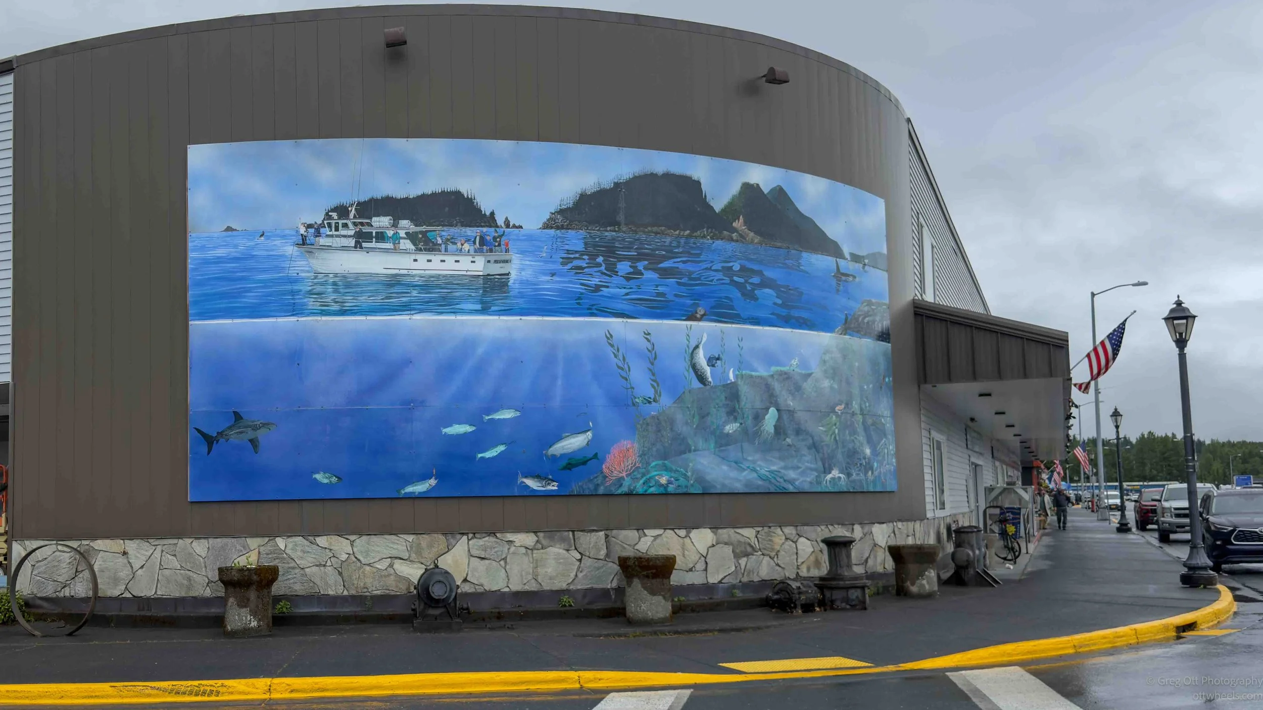
I found a seat just as Where Ice and Ocean Meet began. In hindsight, I wish I had watched it before yesterday's glacier cruise. It explained how the massive Harding Icefield feeds the glaciers that carved the fjords, and how the cold, nutrient-rich waters support everything from tiny plankton to humpback whales, sea otters, and the countless seabirds I had photographed the day before. It also described how the glaciers continue to reshape the landscape as they slowly retreat. I had already experienced all of it from the deck of the boat, but the film tied everything together and gave me a much deeper appreciation for what I had seen.
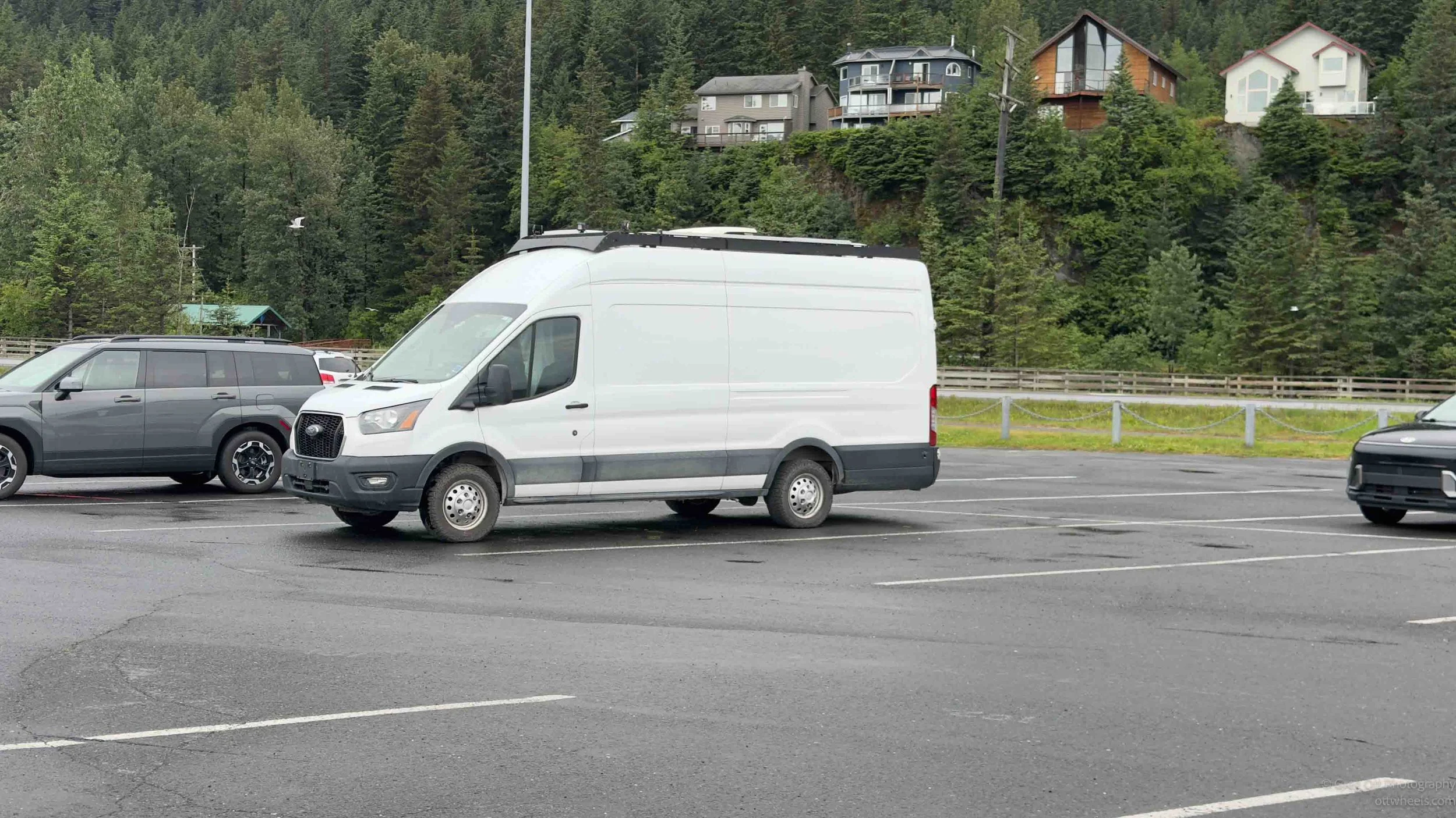
The rain had slowed, and I went for a walk around the harbor before heading back to the van. I spent the rest of the day sleeping and sorting through the huge number of photos I had taken the day before. I had the camera set to continuous high-speed shooting with a long lens. This creates a lot of images, but if there's a shot of a whale, for example, it helps ensure I capture the moment. The downside is that it requires a lot of post-processing.
July 13 - Seward AK
It rained most of the night, and I slept better than I had the night before. By Monday morning, the weekend visitors had left town, and there were noticeably fewer people on the streets. I had a little more energy, so I walked back to the same coffee shop and bakery I had visited the previous morning. The baristas recognized me and even remembered my order. Impressive!
At the bakery, I learned that they only make the croissants on weekends, so I went with a cheese Danish instead. It had the same kind of light, flaky pastry, and I was not disappointed. The rain had stopped temporarily, so I sat on a bench outside the bakery, relaxed, and watched people making their way toward the boats for the morning fjord tours.
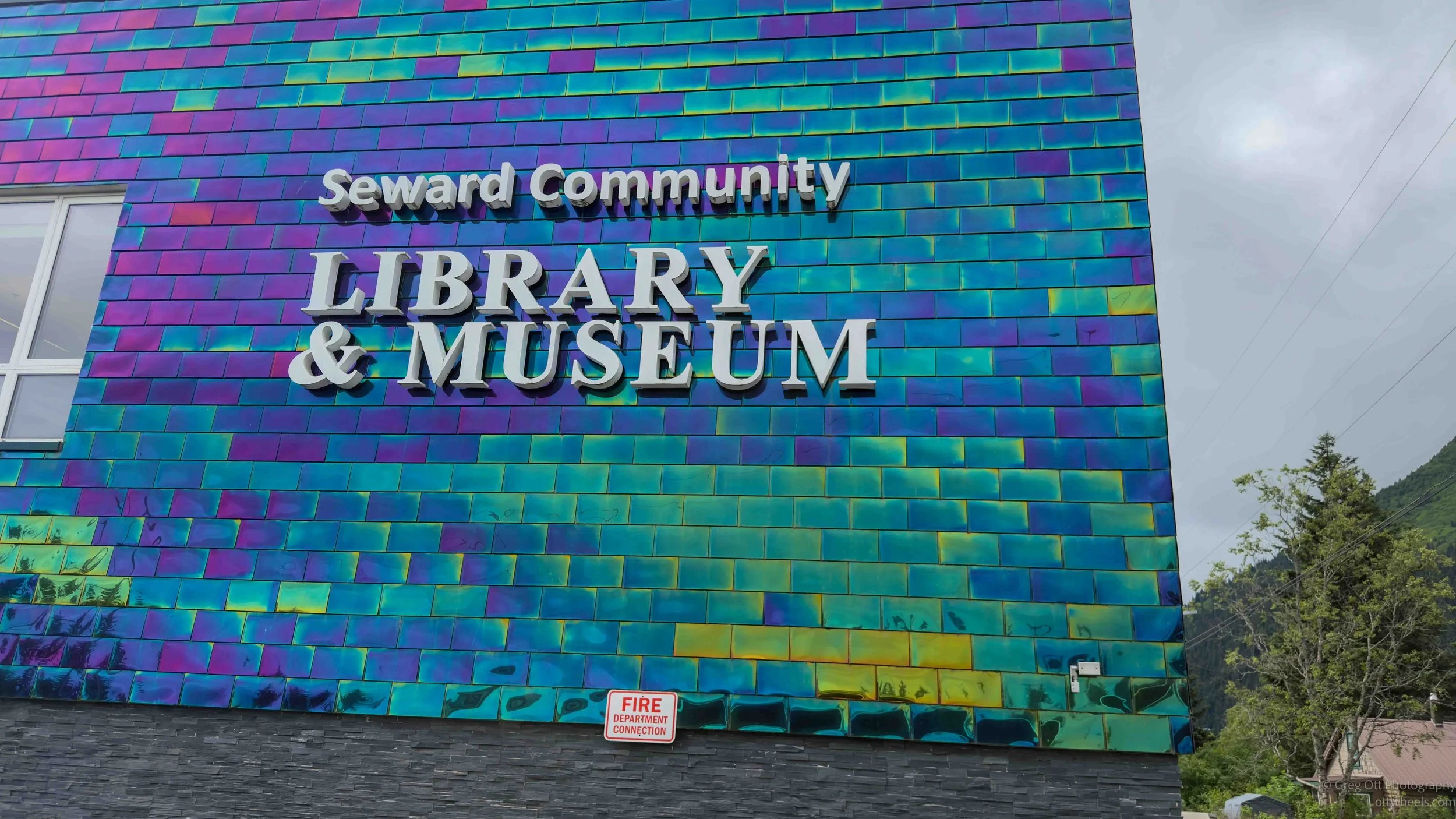
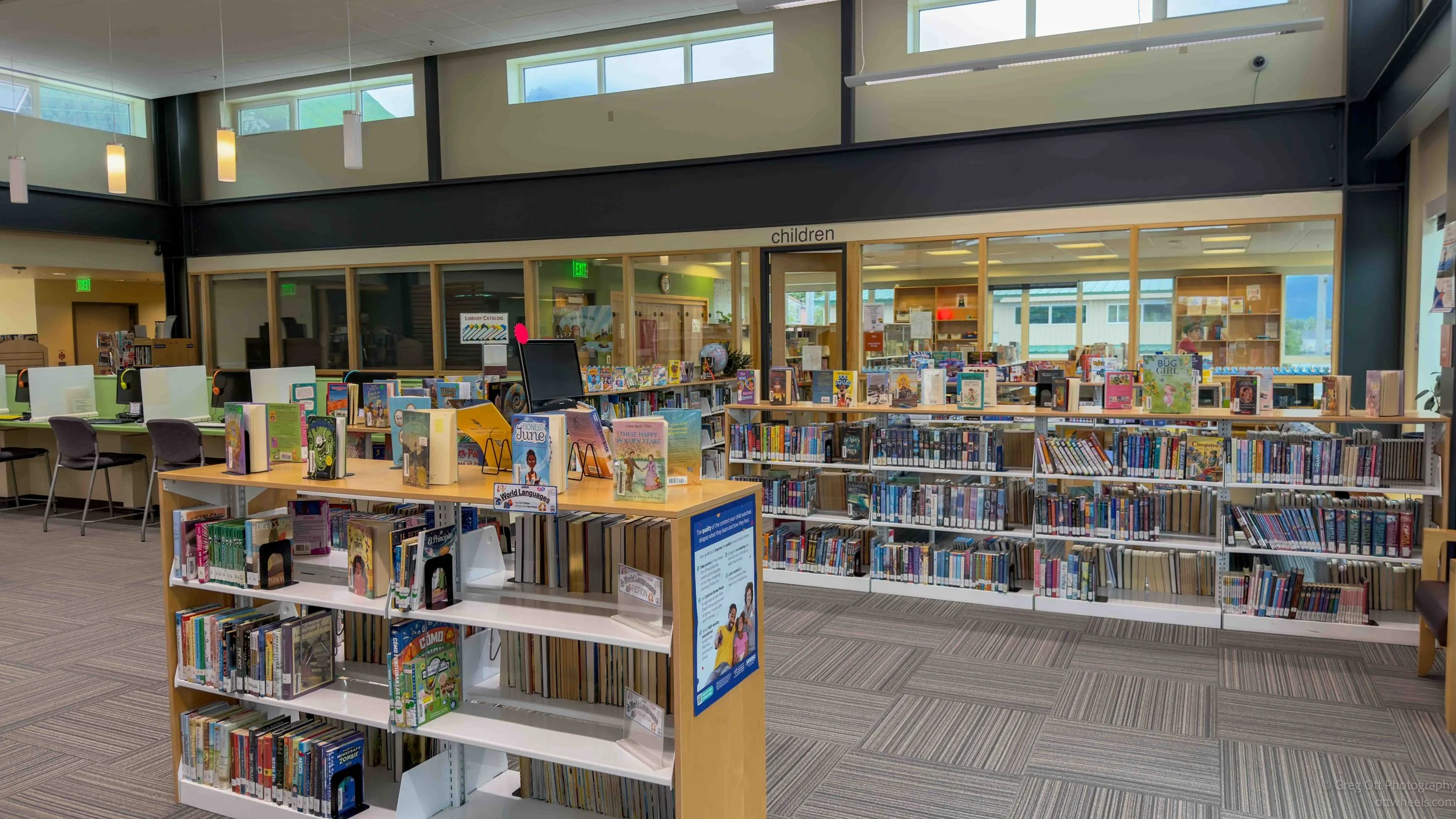
The rain was expected to continue for most of the day, so I began looking for something to do indoors. I noticed that two films were being shown at the Seward Community Library and Museum at 2:00. I had also read that the library was worth seeing on its own. The building is hard to miss because the upper exterior is covered with thousands of small, brightly colored pieces that look like ceramic tiles. I tapped one out of curiosity and discovered that it was metal. They are actually stainless-steel tiles, which makes considerably more sense in a place exposed to so much rain, wind, and salt air. The shifting blues, greens, and purples give the building the appearance of fish scales, especially when the surface catches the changing light.
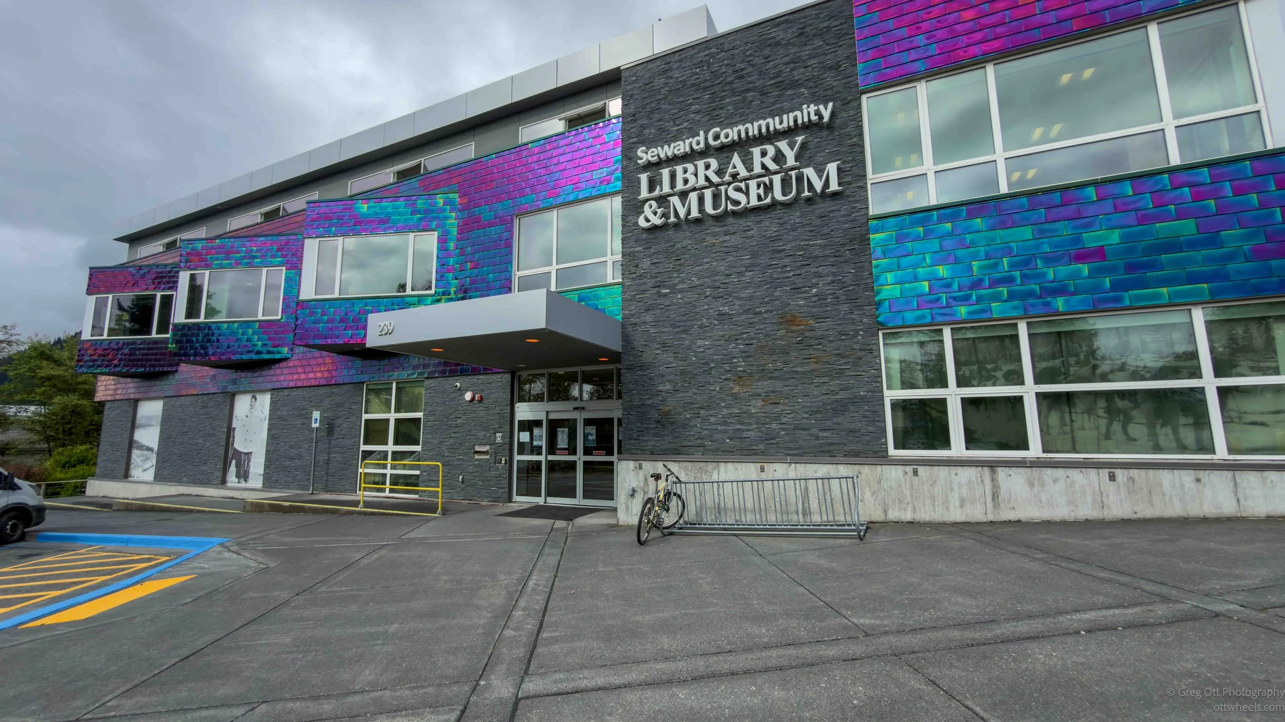
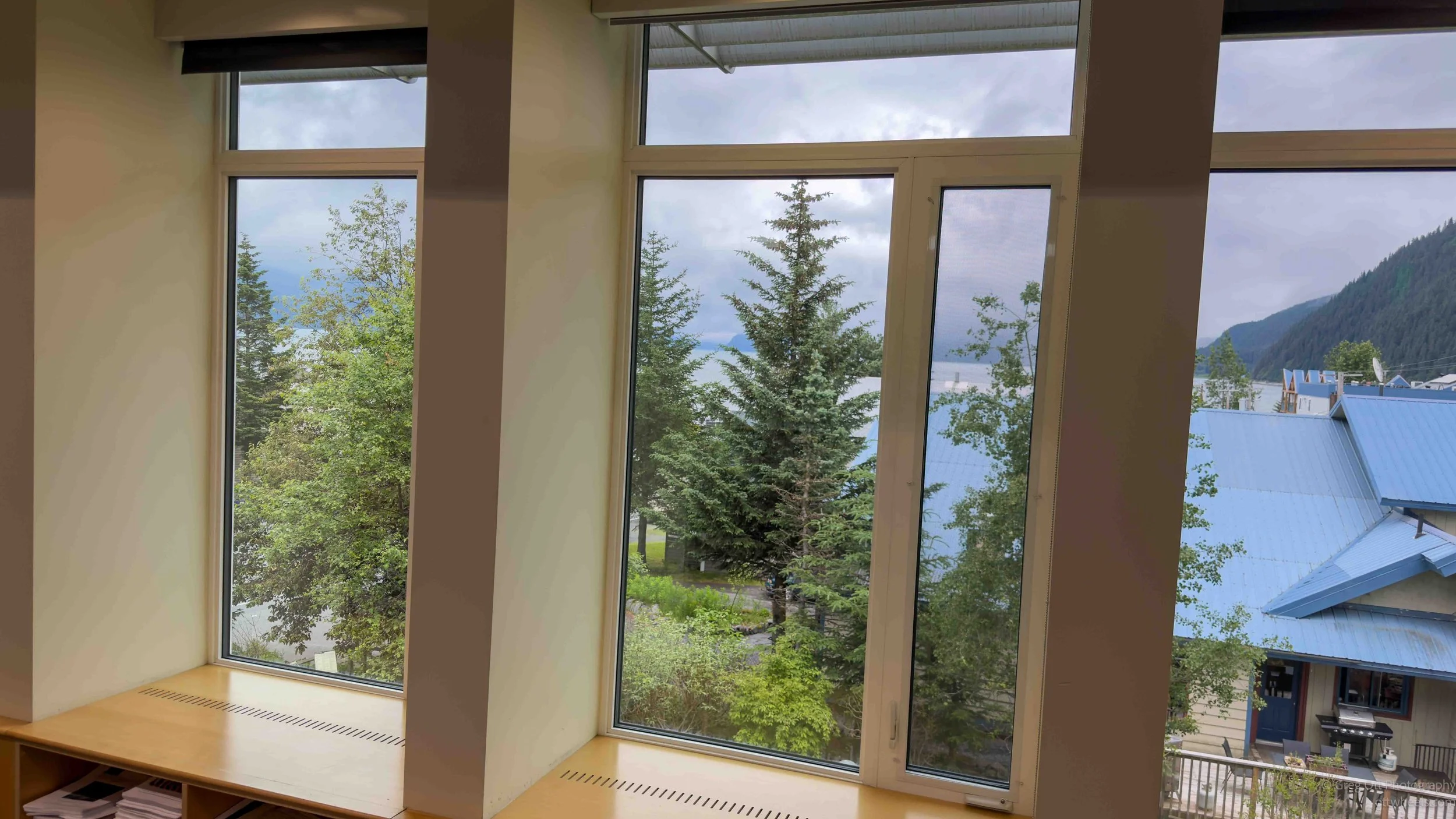
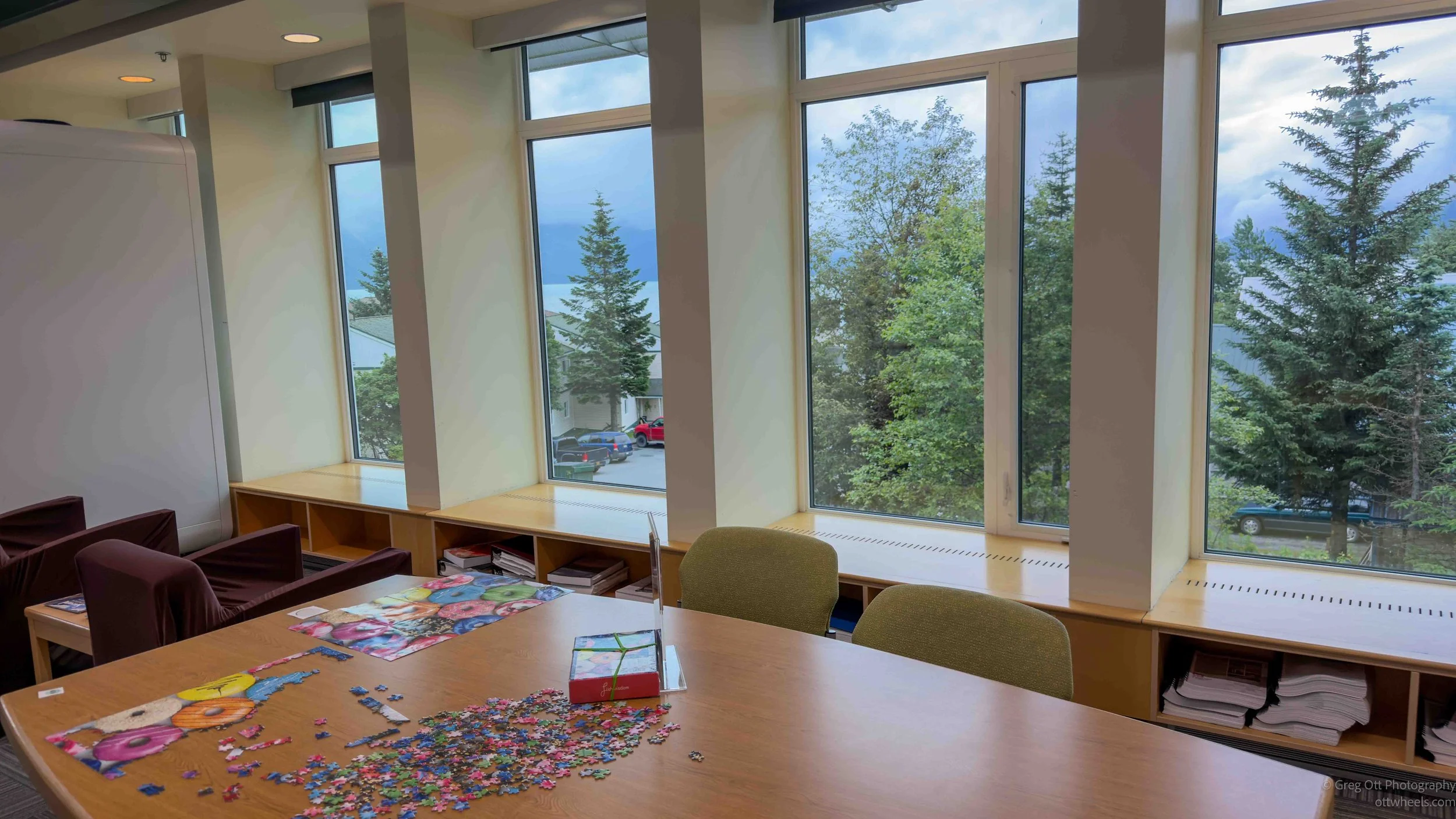
The library and museum share the same modern building, with the library occupying a bright, comfortable space upstairs. Large windows look toward the surrounding mountains, although the clouds and rain limited the view that afternoon. It was quiet, clean, and felt like the perfect place to sit out the rain and spend several hours writing or working on photographs. The films were shown in a separate room downstairs. Admission was $5 for both films. I would guess about 40 people showed up, mostly Seward residents. The presentations changed weekly.
The first film, Waves Over Seward, told the story of the destruction caused by the 1964 Good Friday earthquake. Much of it was presented through the memories of people who had lived through it. The violent shaking damaged buildings and caused portions of Seward's waterfront to collapse into Resurrection Bay. Fuel tanks and other industrial facilities were ruptured, fires broke out along the shoreline, and the movement of the land beneath the water generated destructive waves that arrived almost immediately.
The film reminded me of what I had recently learned about the same earthquake while visiting Valdez. Both communities experienced the massive shaking, the shifting and collapse of the land, the destruction of buildings and waterfront industries, and the waves that followed. In Valdez, the damage was so severe that the town was eventually relocated several miles away to more stable ground. Seward was rebuilt in its original location, although the shoreline and industrial waterfront were permanently changed.
What continued to amaze me was that both Seward and Valdez appear to be so protected. Each sits deep inside a long bay, surrounded by mountains, far from the open ocean. At first glance, they seem like places where ships and communities would be sheltered from the worst conditions. Instead, the shape of the bays, the underwater landslides, and the movement of the earth helped produce devastating local waves. The bays did not protect the towns. In some ways, they helped concentrate the destruction.
The second film, Iditarod National Historic Trail: A History, focused less on the modern sled-dog race and more on the original Iditarod trail system that connected Seward with Alaska's Interior. Seward served as the southern gateway to the route. People, mail, and supplies arrived by ship and then continued north through the mountains toward mining settlements and remote communities. Long before airplanes and highways, dog teams made it possible to move people and freight across Alaska during the winter.
The film helped place Seward in a much larger historical picture. Today, the town is primarily associated with cruise ships, fishing boats, and tours into Kenai Fjords National Park. During the Nome Gold-rush era, however, it was also a transportation link between the coast and the distant Interior. The modern Iditarod race grew partly from an effort to preserve the memory of those trails and the working dog teams that once traveled them.
After the films, I returned to the library to continue processing photographs and working on a blog post. It was not the most exciting day of the trip, but the rain gave me a needed opportunity to slow down, learn more about Seward, and begin catching up, which actually didn't really happen. The library was very relaxing and nicely situated, with views toward the mountains and water. Libraries tell you a lot about a town and how it values learning and education.
As I walked down the library steps at closing time, I paused in front of a large Tribal Nations Map of North America hanging near the entrance. It immediately brought back memories of a CD-ROM I had bought for my kids many years ago. I can still remember exploring an interactive map, clicking on different Indigenous nations to learn about their languages, cultures, traditions, and history. It was one of those rare educational programs that could keep both kids and adults occupied for hours. I found this resource on-line which is similar (native-land.ca/maps).
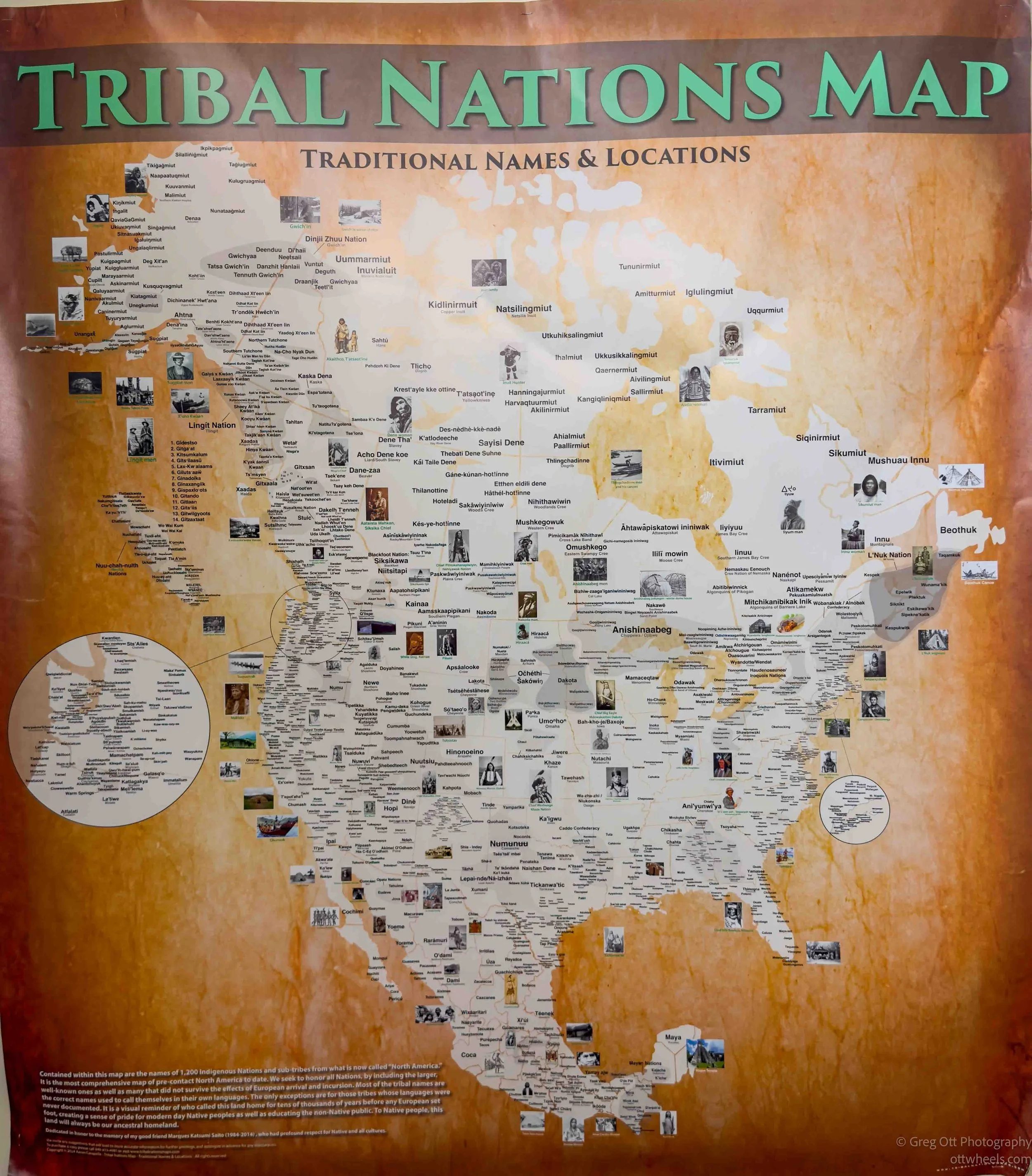
That memory made me take a closer look at the map. Before Europeans arrived, historians estimate there were roughly 2,000 to 3,000 Indigenous nations across North and South America, speaking well over 1,000 different languages. No one knows the exact numbers, of course, but seeing the map covered with hundreds of identified nations gave me a much greater appreciation for the incredible cultural diversity that existed long before European settlement. It was a quiet reminder that the history of this continent is far richer and far more complex than the handful of tribes most of us learned about in school.
I drove a couple of miles to my parking lot, which was mostly empty at 6:30. I walked down the street, ordered an ice cream, and then settled back into the van for another evening of gentle rain.