Knife River Indian Villages
I ended up staying two days at North Park RV and Campground in Dickinson, ND—not because it was the most gorgeous place I’ve ever seen, but because it had everything I needed to catch up. The showers were nearby, Starlink was mysteriously blazing at 250 Mbps, and the park was relatively empty. Every couple of weeks I need a reset day, and yesterday was it. After two days, the van was in slightly better order, a few minor things were fixed, and I felt a little more relaxed before heading out toward Knife River Indian Villages. I made a list of the other things I wanted to fix in the van as well.
Out of Dickinson, I drove north, crossing the Knife River and turning just before Killdeer. Traffic was already light, but once I turned onto State Route 200, it dropped to almost nothing. I passed through towns like Dunn Center, Dodge, Zap, and Hazen—each just a speck on the map but still home to someone. I couldn’t help but wonder what it must be like to live in towns that small. The pace was certainly slower.
I arrived at Knife River Indian Villages National Historic Site around 2 p.m., giving me a few hours before closing. I watched the 15-minute video that introduced village life, then headed out to explore the remains of the Hidatsa settlements. The site preserves the archeological traces of earthlodges, which were the heart of these river communities. Walking through the grounds, the mounds in the grass outlined where families once built their homes and lived their daily lives.
The site is most directly tied to the Hidatsa, whose villages stood here for centuries. But the Hidatsa also had close connections with the Mandan and Arikara through trade, intermarriage, and shared cultural practices. By the late 1800s, after devastating smallpox epidemics and the pressures of U.S. expansion, the three tribes formally came together as the Mandan, Hidatsa, and Arikara Nation (the MHA Nation, or Three Affiliated Tribes), now based at the Fort Berthold Reservation in North Dakota.
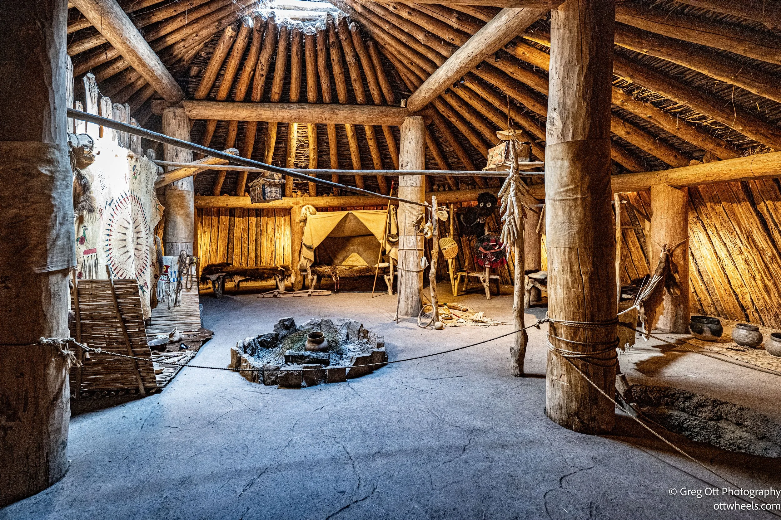
One of the highlights was stepping inside the reconstructed earthlodge near the Visitor Center. These large, circular homes were built from wooden frames covered in earth and sod, designed to stay cool in summer and warm in winter. Inside, you could easily imagine a family gathered around the central fire, with tools, hides, and food stores tucked along the walls. The scale of the space showed how well these homes were adapted to the prairie climate.
From there I followed the mile-long trail down to the Knife River, where it meets the Missouri. It’s easy to see why people built villages here—close to waterways that provided fish, fertile soil, and natural trade routes. Standing on the banks, the place felt like a natural gathering point, one that had supported life for centuries. The Knife flows into the Missouri, which eventually flows into the Mississippi.
At the Visitor Center, I had learned that the Missouri River is technically the longest river in North America—just one mile longer than the Mississippi. Looking at the Knife as it emptied into the Missouri put the whole site into perspective. The Hidatsa and their neighbors lived at the center of a vast highway of trade and resources that stretched across the continent. The rivers, the villages, and the earthlodges tied together into a complete picture of how people thrived on the northern plains.
Knife River
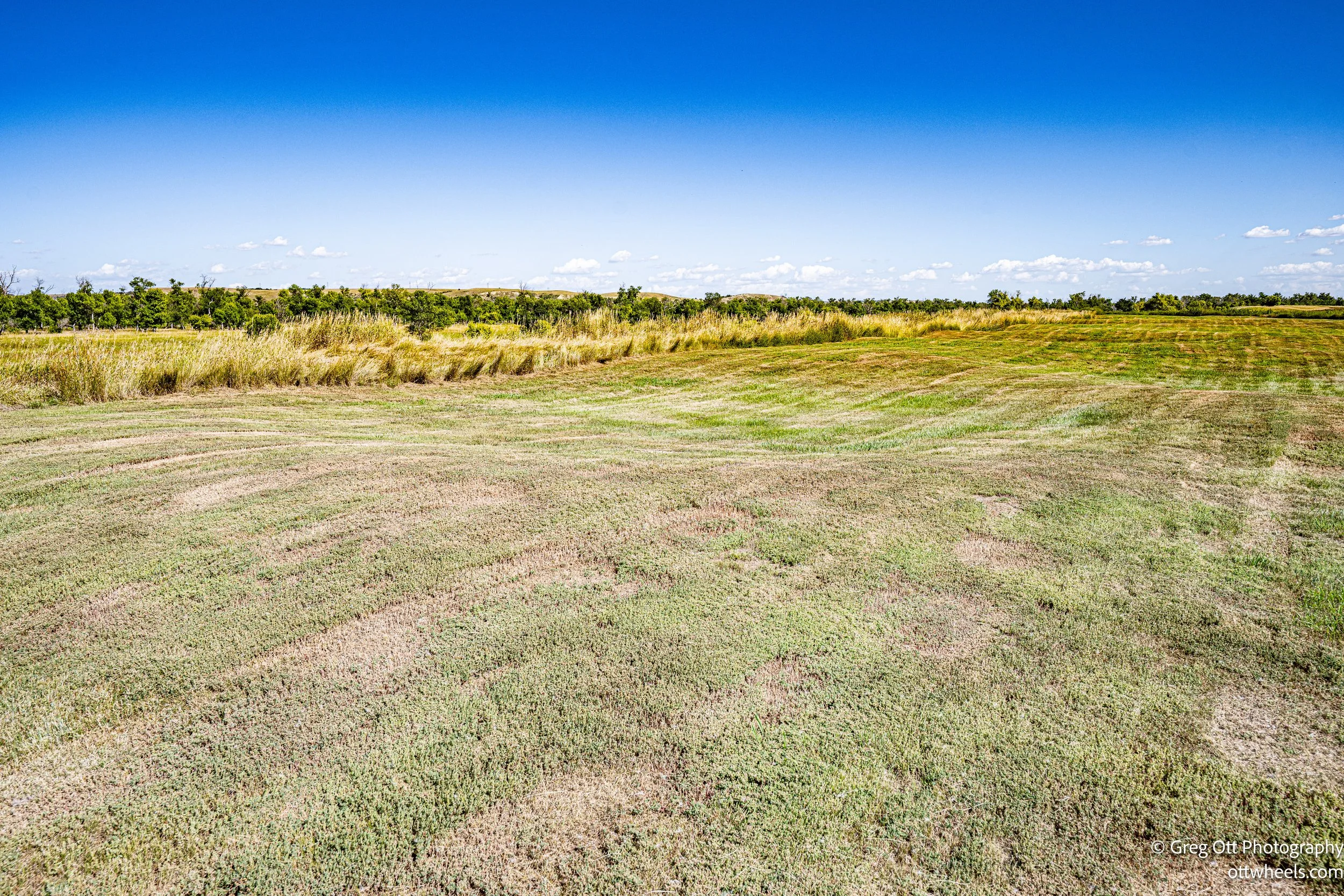
The mounds marking the village sites were surprisingly large. From ground level it was tough to visualize the layout of the lodges. A local woman mentioned it’s much clearer from above with a drone and suggested I look at the aerial photo back at the Visitor Center.
By the time I headed back, the afternoon sun was hot, and I found myself imagining the daily rhythms of life here centuries ago. The air was fragrant with all kinds of plants, though it also set off a twinge of hay fever as I stopped to take photos. One plant in particular caught my eye: a bushy stalk with small green-and-red leaves and a thick stem like a sunflower. I tried to identify it with Apple’s plant tool, but none of the results matched.
Inside the Visitor Center, more exhibits filled in the picture of Hidatsa life. Displays on agriculture showed how they grew corn, beans, and squash in the fertile bottomlands, creating a steady food supply. Exhibits on trade explained how goods moved up and down the Missouri River long before Europeans arrived. Early 1800s paintings and artifacts made the villages feel alive with activity. I thought about picking up a book on the tribes and their culture but reminded myself I already have too many stacked up. Still, I left with the feeling that I want to learn more about this place.
Later I drove up to Lake Sakakawea State Park, thinking it would be easy to grab a campsite. Find a spot, hop online, reserve, done. Wrong. I circled the place like a lost UPS driver for 15 minutes before finally finding a beautiful waterfront site (#110). Then I tried to log in to ReserveNDParks.com—only to be told my username or password didn’t exist. So back to the entrance I went to call the 800 number. After 10 minutes on hold, a guy confirmed I did exist, then happily charged me $9 to make the reservation for me. No matter how many times I repeated, “I’m already at the site,” he kept asking if I wanted directions. It was a full Abbott and Costello routine. When will you be arriving? “I’m here!” There’s a map at the entrance. “I know, I just drove past it twice!” Ninety minutes later, I finally had a campsite—plus the strong urge to collapse by the lake.


