RSL-3 Historic Missile Site
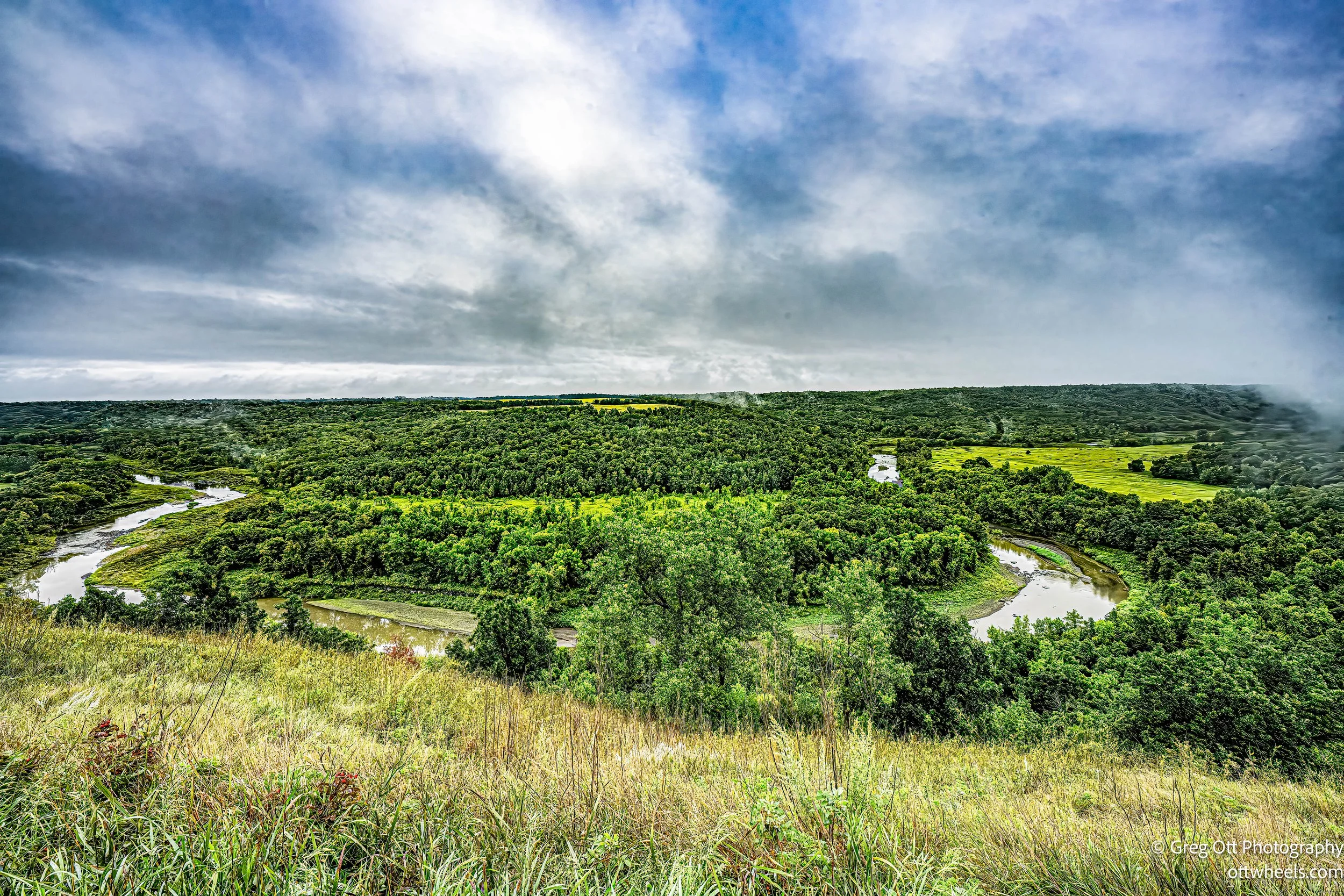
I woke to a light rain at the Tetrault State Forest Lookout Point. The fog was heavy in the valley below, and I had the entire spot to myself. When the rain broke, I stepped out to take in the view, then went back to the van, made breakfast, and worked on the blog. Lightroom was giving me headaches again—this time permissions issues after the latest upgrade. I had installed the update because it fixed one bug, but in the process Adobe managed to break backups. The forums were full of complaints. After a few frustrating hours, I rolled everything back to the previous version so I could at least back up my images. That little detour in my morning cost me nearly five hours.

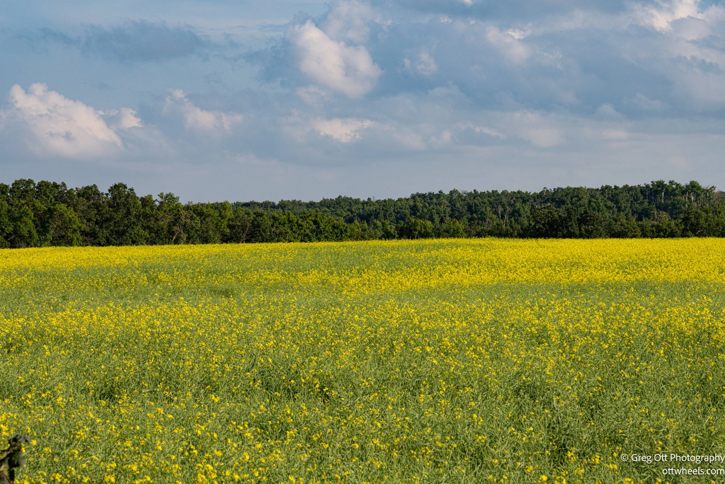
By 1 p.m., the skies were clearing and the sun was finally breaking through. No one else had visited the lookout all morning. With the day half gone, I realized there wasn’t enough time to see the International Peace Garden, so I decided to find camping near the Gardens and visit the next day. On my way, I passed a sign for the RSL-3 Historic Missile Site. I didn’t know exactly what RSL-3 meant, but I did remember what a Minuteman missile looked like. Curiosity won out, and soon I was pulling into the parking lot.


The Minuteman missile program was born at the height of the Cold War, when the United States and the Soviet Union were locked in an escalating arms race. Unlike earlier missiles that relied on liquid fuel and required hours to prepare for launch, the Minuteman used solid fuel, making it faster, safer, and more reliable. By the early 1960s, these intercontinental ballistic missiles (ICBMs) became the backbone of America’s nuclear deterrent, designed to be kept underground and ready at a moment’s notice—hence the name “Minuteman.” Thousands of Americans lived and worked above these hidden systems, often without realizing the enormous power stored below the prairie.

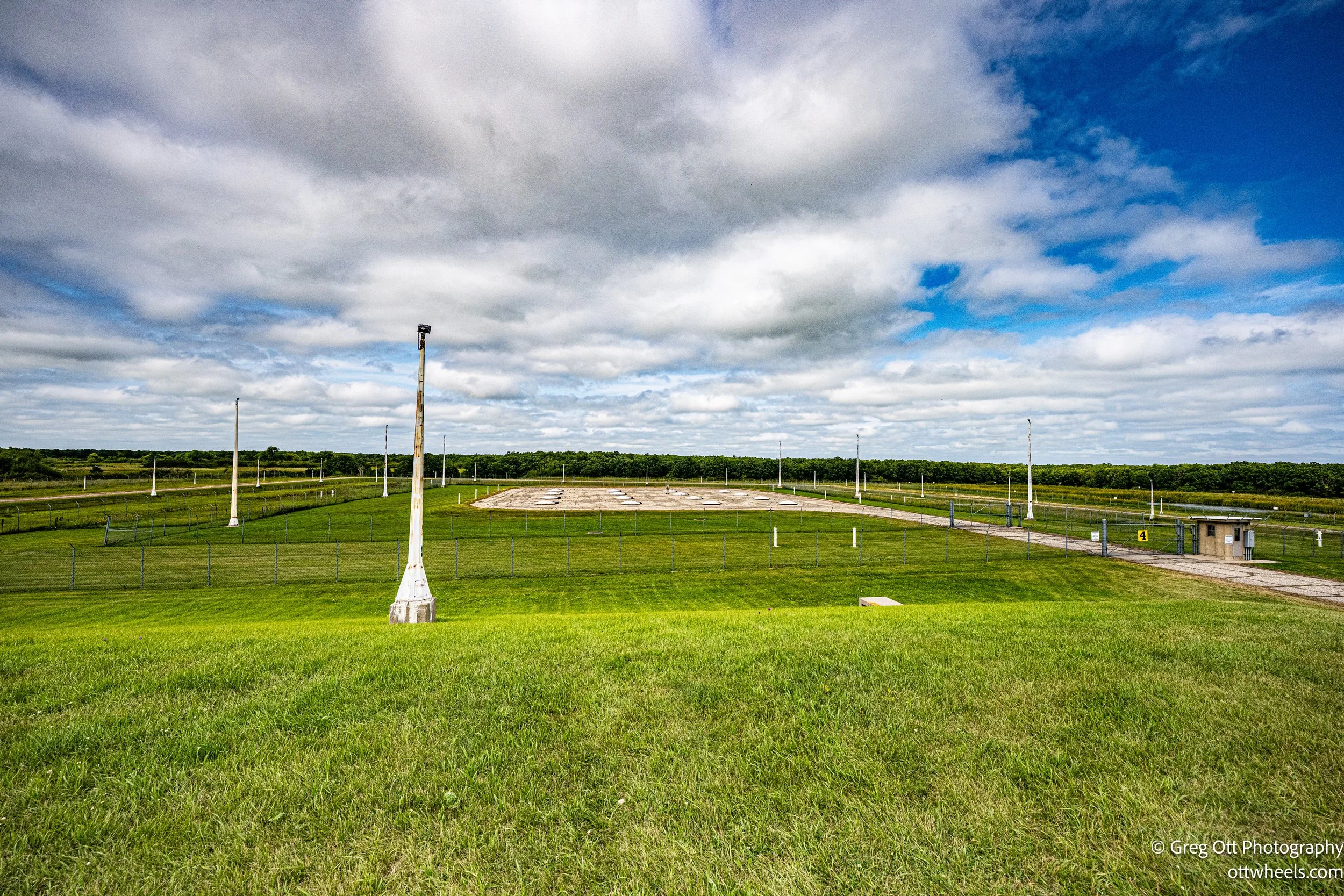


The heavy front door at RSL-3 was open, so I walked to the desk by the turnstiles and rang the bell. A sign said to wait up to ten minutes, and sure enough, about five minutes later the owner appeared with another visitor who was just finishing a tour. I paid my $12 and joined in. We walked to the missile silos as the guide explained how they were loaded, the thin silo covers designed for the missile to blast straight through if it were ever launched. Inside, I sat for a 30-minute film—clearly military-made—that covered the history of the Minuteman program: the technology, the diplomacy, and the operations.
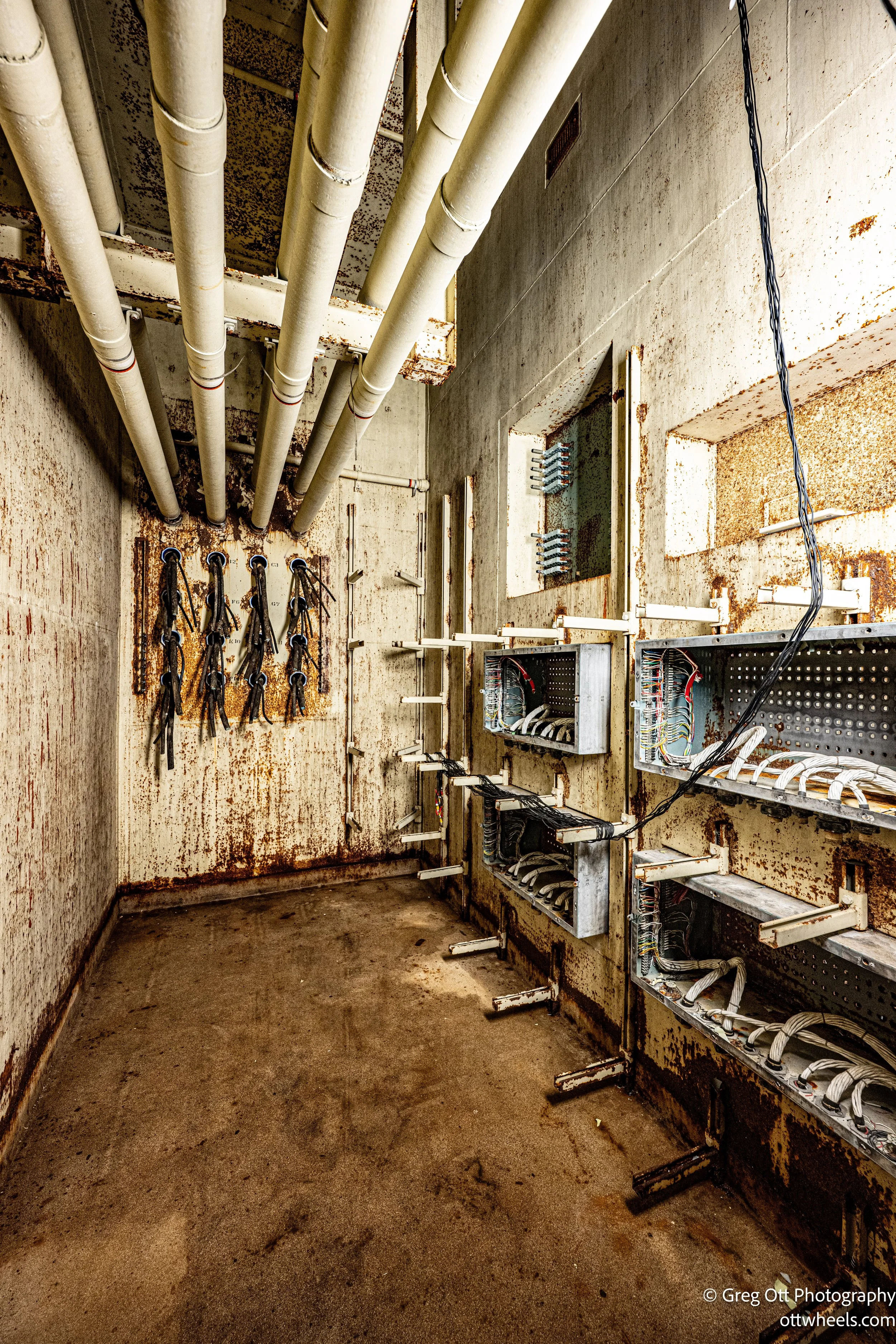
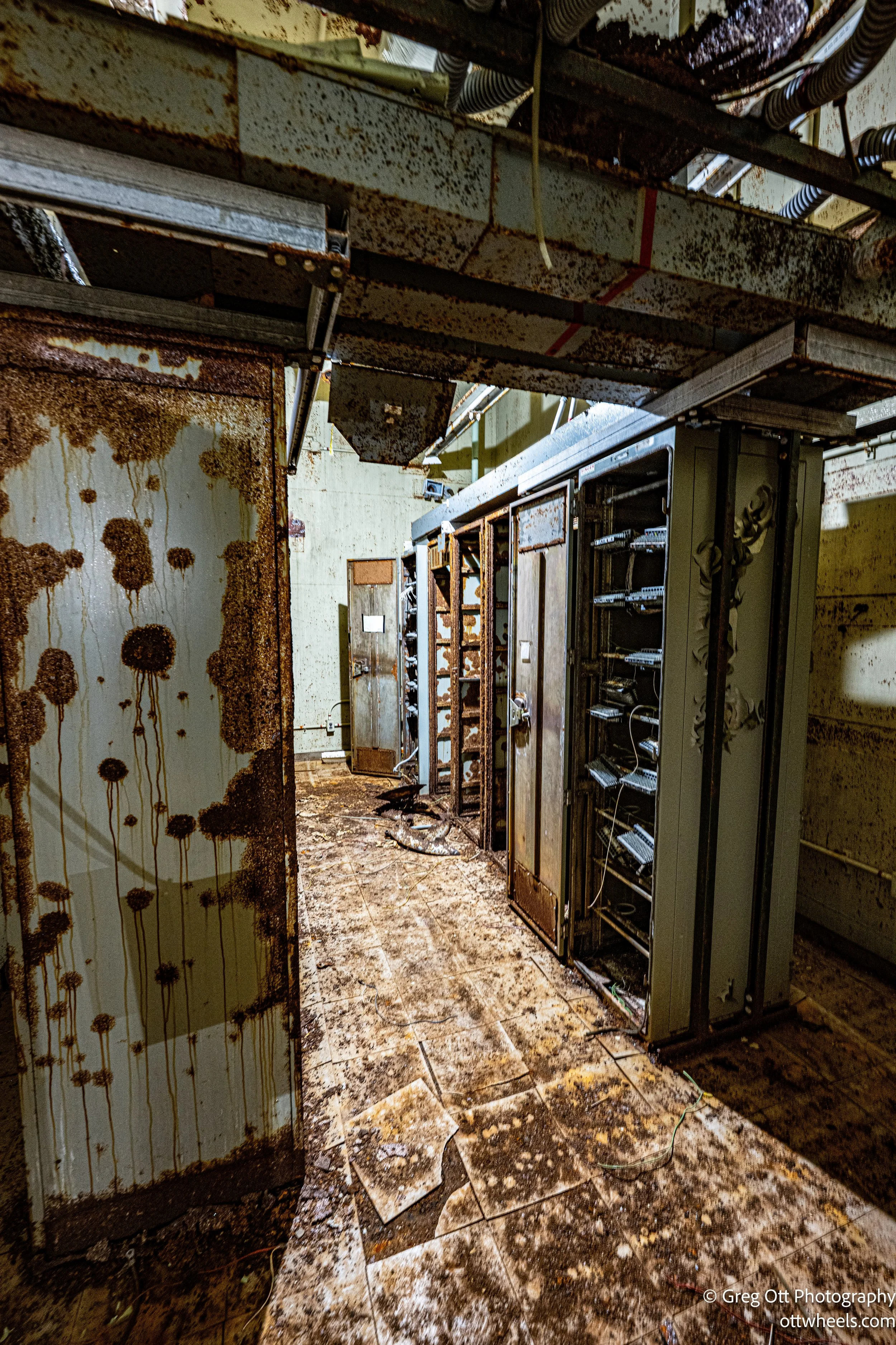
North Dakota once had 150 of these missiles spread across its farm fields, hidden in silos, and connected by a web of underground control facilities staffed around the clock. Their presence was meant to be invisible, yet the weight of it was always there: ordinary people tending farms above, while crews below the surface were trained to respond in seconds if the unthinkable order ever came. Touring RSL-3 today, I got a glimpse of that world. I walked through the washdown room, the cable and computer rooms, the bunks, the air-conditioning system, and even the emergency escape ladder. The Minuteman system was cutting-edge for its day: supported by state-of-the-art radar that could track incoming threats and missiles that could fly at blistering speeds—up to Mach 10. If an enemy missile was detected, a Minuteman could be launched to intercept it. The warhead it carried was relatively small by nuclear standards, but still devastating—designed to obliterate the incoming missile mid-flight and protect U.S. cities from destruction. The mix of everyday routine and unimaginable responsibility was almost tangible.


The owner bought the site for next to nothing and is slowly restoring it with plans to make it a proper attraction. He’s working with the state and other groups for funding and has some creative ideas—like a rave room and a simulator—to keep visitors coming. He even talked about adding electric and water hookups for campers. I suggested Harvest Hosts, but he said it wasn’t for him. When I finally left, it was close to 4 p.m., and I still had a drive ahead of me.
Finding my way to Dion Lake was its own adventure. Google routed me onto a farm road where dogs growled at the van, and a woman in an ATV with four young kids tried to help but sent me down a steep, precarious hill. Later, a stone-faced young man redirected me from Avenue 107—closed for reasons unknown—to Avenue 108, which turned out to be the right way. From there the directions finally made sense, and I stopped a few times just to take in the scenery. By 7 p.m. I rolled into Dion Lake, where a couple was picnicking in one corner of the field. I walked down to the dock and startled a few frogs, then spotted a beaver moving with purpose along the far edge of the lake. Too far for a photo, but not too far to appreciate.