Cumberland and Yahoo Falls
I woke in the Daniel Boone National Forest after a mostly peaceful night. Around 11 p.m., a couple of kids on an ATV and in a car came through—horns blaring, music thumping, engines echoing through the trees. They passed again around 2:30 a.m., honking as they went, probably at other campers tucked away in the woods. I peeked out the window, watched their headlights fade down the road, and drifted back to sleep. My Sleep Cycle app tried to wake me at seven, but I wasn’t ready to give up the quiet. I silenced it and slept another hour and a half before finally getting up.
Cumberland Falls
Cumberland Falls was about twenty minutes away, and I pulled in just as the morning quiet was giving way to the first stirrings of the day. I made breakfast in the van and watched a few early visitors wander toward the overlook. By 10:30, I walked over to the visitor center to grab a trail map. The staff pointed out several good photo spots. I’d hoped to arrive earlier for fog and golden light, but the sky was already bright and clear—perfect for hiking, not so much for photography.
Cumberland Falls sits inside Cumberland Falls State Resort Park, run by the Kentucky Department of Parks, but the park itself lies within the federally managed Daniel Boone National Forest—a state park tucked inside a national forest.
From the visitor center, a short trail follows the Cumberland River as it widens and tumbles over the edge of the falls. Often called the Niagara of the South, it spans about 125 feet across and drops 68 feet into the gorge below. Over millions of years, the river carved through sandstone and shale, slowly retreating upstream to its present location. In fall, the flow averages around 3,600 cubic feet per second, fed by seasonal rains sweeping across the Cumberland Plateau. Once considered sacred by Native peoples, the site was later saved from a proposed hydroelectric project when the land became a state park in 1931.


I spent nearly two hours photographing the falls and watching people drift in and out of the viewing area. The sunlight was harsh enough that I needed a neutral density filter to bring out texture in the water. A faint rainbow shimmered in the mist below, more halo than arc. I followed a lower trail for a different angle, where the roar was constant and the air damp with spray. It’s easy to see why visitors keep coming—especially on clear nights when the full moon creates its famous “moonbow,” one of the only places in the world where that happens.


Before leaving, I stopped at the visitor center again and picked up a trail map for Yahoo Falls. The staff warned that water might be low this time of year but said the hike was beautiful. They described it as moderate with a few steep sections and, smiling, added, “If you still have energy, hike out to the Natural Bridge.”
Yahoo Falls

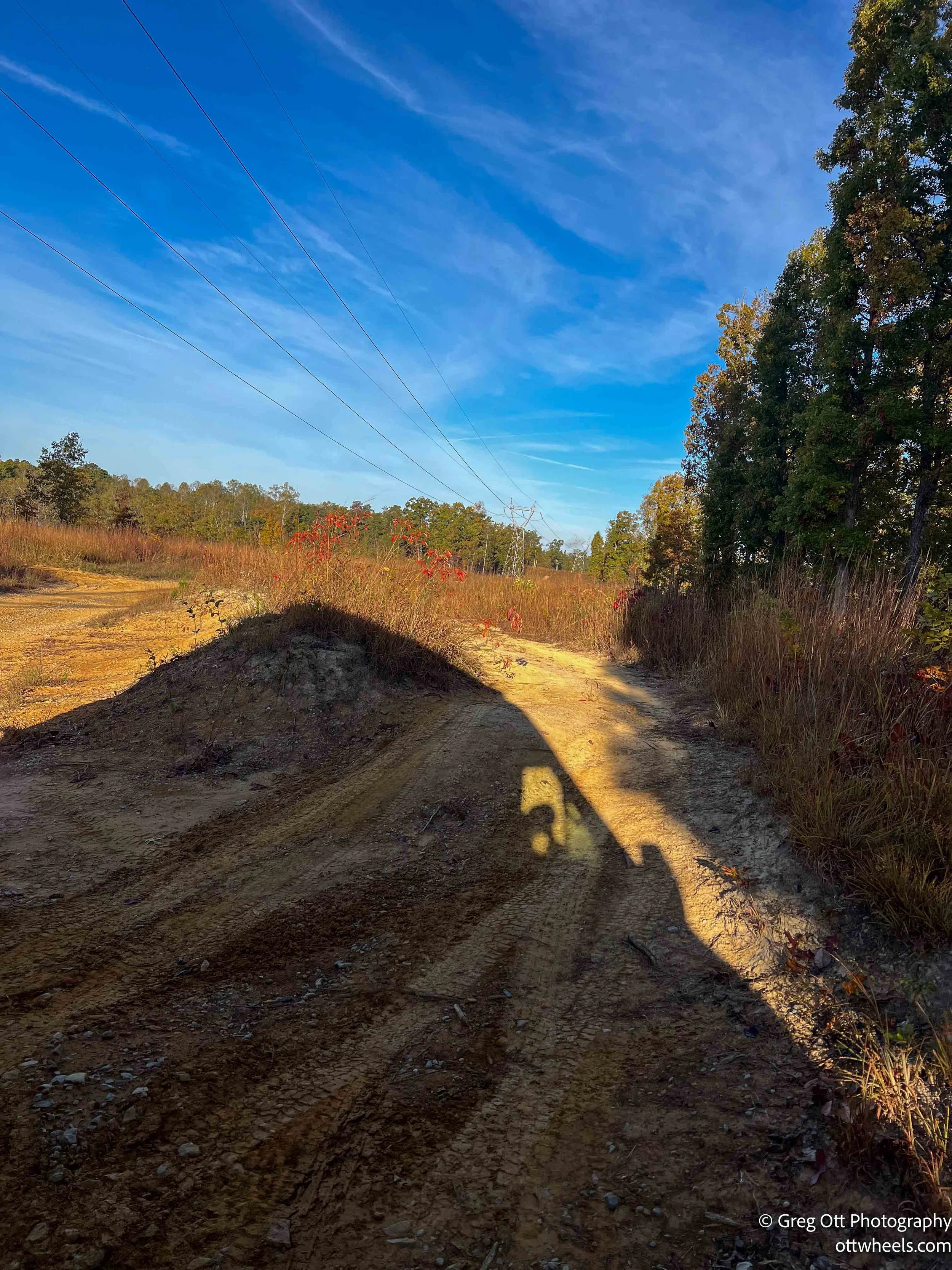
Yahoo Falls lies about twenty miles away in the Big South Fork National River and Recreation Area near Whitley City. Kentucky roads are narrow and winding—barely wide enough for a vehicle—and the locals drive them like racetracks. The speed limit might say 55, but the warning signs for 15, 25, and 35 on turns aren’t suggestions I can ignore in a heavy van. I’ve never had so many people tailgating within a few feet, honking to make a point.
When I reached the end of the access road to the falls, I hadn’t seen another car for miles. I made a quick snack, packed my camera, and started the hike. By the time I set out, about a dozen cars filled the lot.
Yahoo Falls is the tallest waterfall in Kentucky at roughly 113 feet. It’s a thin, silvery stream that drops from a sandstone cliff into a wide natural amphitheater, surrounded by forest and overhanging rock. Over thousands of years, Yahoo Creek carved through the softer sandstone beneath the cliff, forming the recessed shelter that now frames the falls. Archaeological evidence shows that Native peoples once used the shelter behind the falls for hunting camps and seasonal living.
About a quarter mile in, the trail forked. A couple approached from the right, and I asked which way led to the falls. They said to take the steps down on the left, then follow the loop back up on the right. “Not much water today,” the man added, “but it’s still worth it. And if you have extra energy, there’s a trail to the Natural Bridge.”
The steps down to Yahoo Falls are metal, with small cutouts for traction—some of steepest I’ve seen in any forest so far. Partway down, a couple was making their way up, red-faced and laughing. “We’re out of shape,” the woman said. I told them about the loop trail, and the man looked surprised. “There’s a loop?” The sign clearly says Yahoo Falls Loop Trail, but like many trails in Kentucky, you only know it’s a loop if you read the fine print.


Sometimes spelled Ywahoo Falls, the name likely traces back to Cherokee origins, possibly referring to a spirit or echo within the gorge. The sound carries easily here—every footstep, birdcall, and splash feels amplified beneath the stone ceiling.
Local legend tells of a Cherokee woman who leapt from the falls after her village was attacked, a tragic story that gives the place a quiet sense of history. Both spellings, Yahoo and Ywahoo, appear on old maps and in oral traditions, though the U.S. Geological Survey officially uses Yahoo Falls. The short loop trail offers views from both above and below—one of the reasons it remains a favorite for hikers and photographers across southern Kentucky.
At the bottom, the falls were just a trickle—barely enough to spread into mist—but even that faint flow echoed through the massive rock shelter. I sat for a while, alone, listening to the sound of water and wind bounce around the amphitheater. It was peaceful but slightly eerie, especially knowing that the cliff occasionally sheds chunks of rock the size of small cars. Other parks post warning signs; here, it’s simply understood that you’re on your own judgment.
The Natural Bridge
Halfway around the loop, a sign pointed toward the Natural Bridge—a side trail about eight-tenths of a mile away. It was 4:30 p.m., so I had maybe two hours before dark. The path climbed steadily, weaving through forest and around fallen trees. It’s listed as moderate, but the uphill stretch will make you earn it.
The side trail turned out to be an unexpected bonus—the kind of discovery that makes a day linger in memory. The late light filtered through the trees, the leaves beginning to turn, everything glowing. The arch itself was worth every step: a graceful span of sandstone rising quietly out of the woods, its underside smoothed by time and water. I stood there for a while, watching sunlight slide across the opening, wondering how many centuries it took to carve something so simple and perfect.


I didn’t stay long, but I shot a few photo stacks—multiple frames at different focus points to bring the whole scene into crisp detail. The light was tricky, soft under the arch but bright in the woods. Still, it was a good chance to practice with the Nikon and see how far I could push the exposure balance.
When I checked the time, it was 5:11 p.m. The hike back was mostly downhill, and I made quick work of it, stopping only for a few last photos. Back on the main loop, the trail ran high above the gorge, where you could look down and see the top of the falls—a reminder of just how far it drops. There’s not much between you and the edge, and you can feel it in your gut if you get too close.

I reached the van about fifteen minutes later. The parking lot was empty; I was the last one out. My plan was to camp for a few nights at Bear Creek Horse Camp inside Big South Fork, about twenty minutes away. The sun was hitting the trees and providing perfect lighting for the fall foliage.

Halfway there, traffic stopped on a narrow back road. A volunteer firefighter walked by and said a truck hauling stone had lost its brakes and overturned in a tunnel. It would be at least thirty to sixty minutes. It ended up being closer to
I shut off the engine, wandered down to a nearby stream, and took a few photos before cooking dinner on the tailgate.


By the time I rolled into camp, it was after eight. The site was quiet—almost too quiet after a long day. A couple with a fifth wheel and two horses pulled in soon after, spending the next two hours setting up. I went through the day’s photos, watching the images come to life on the screen. There’s something satisfying about seeing a day distilled into a handful of frames—moments already turning to memory but still alive in the details. When I finally closed the laptop, I started a movie, grateful for the stillness.